smart systems for small communities - esri€¦ · smart systems for small communities arcgis and...
TRANSCRIPT
Smart Systems for Small Communities ArcGIS and Cartegraph for Work Management
Dr. Tanya Gallagher, Joe Thornton
Santa Rosa County, Florida
ESRI User Conference 2019, San Diego, California

After a decade of clustering into cities and large metropolitan areas,
the US is experiencing a continued rise in both outer exurban areas
and low-density emerging suburban counties. -William H. Frey, Brookings Institute
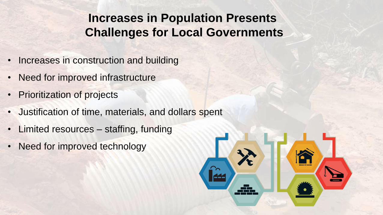
Increases in Population Presents
Challenges for Local Governments
• Increases in construction and building
• Need for improved infrastructure
• Prioritization of projects
• Justification of time, materials, and dollars spent
• Limited resources – staffing, funding
• Need for improved technology

Santa Rosa County, Florida
• 1100 sq. miles
• 12th fastest growing county in Florida
• Population increased ~10% in last 5 years
• 160,421 in 2013 to 177,125 in 2018
• Jobs increased 14.5 %
• Increase in construction
• County resources stretched thin
• Public Works Division
• Road and Bridge
• Parks & Recreation
• Building Maintenance
Map of county work zones

Santa Rosa County, Florida
Population Growth vs. # of Public Work Employees

Cartegraph was Implemented by
Public Works Division as a Management Solution
• Asset and Operations Management System (OMS)
• Cartegraph integrates with:
• ArcGIS Enterprise
• ArcGIS Online
• Operations Dashboard
• Allows users to:
• Tracks assets and resources
• Map citizen requests and public works tasks
• Document infrastructure maintenance

Cartegraph Implementation with Esri Tools
Blends GIS, IT, and Operations Management
• ArcGIS Online (AGOL) Hosted Feature Layers
• Continual two-way sync from SQL database to AGOL
Hosted Feature Layer
• 26 Feature Classes of different asset types
• Feeds Operations Dashboard – real-time updates
ArcGIS Online
Cartegraph SQL

Cartegraph Synchronization with Esri Tools
Blends GIS, IT, and Operations Management
WWW
Cartegraph SQL
ArcGIS Online
o Cartegraph OMS
o ArcGIS Online
o Operations Dashboard
o County Website
Cartegraph One
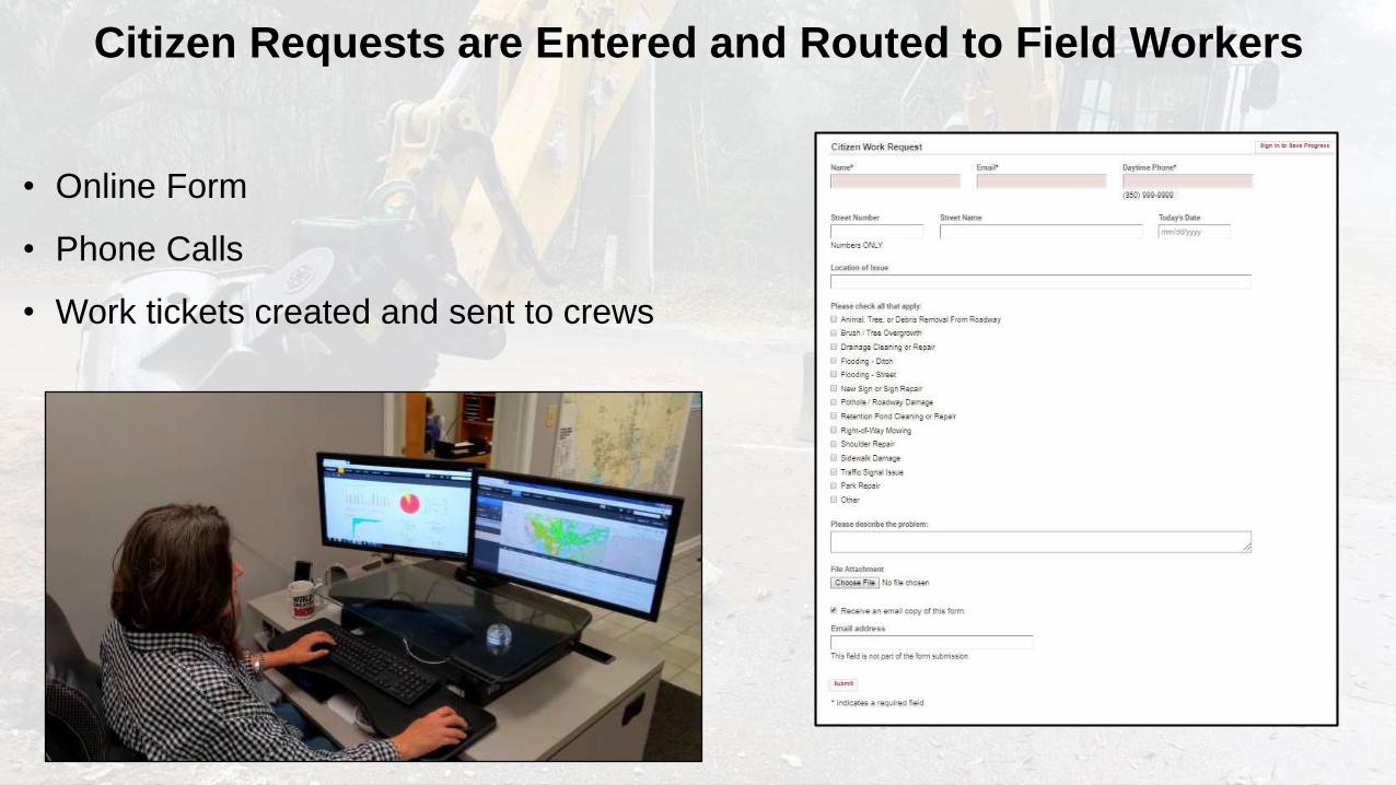
Citizen Requests are Entered and Routed to Field Workers
• Online Form
• Phone Calls
• Work tickets created and sent to crews

Workers Create and Complete Tasks in the Field
• Apple iPads
• Smart Phones (iPhone and Android)
• Route to Asset Locations with GPS
• Log Labor, Equipment, & Material Costs
• Attach Photo Documentation
• Real-Time Updates from Job Sites
• Reduce or Eliminate Paper
• Complete Pavement Inspections

Operations Dashboard Provides
Real-Time Updates to Administration
• Met need for better
reporting
• Cartegraph AGOL
layer provides real-
time feed to
Operations
Dashboard
• Created Dashboard
for Road & Bridge
Department

Pavement Condition Calculator Helps Allocate Resources
and Prioritize Paving Tasks Throughout County
• Need for maintaining pavement as county
assets with limited resources
• 1,500 miles (35,000 sq. mi.) of pavement in
over 8,600 segments
• Manage pavement asset condition over time
• Freshly paved – sets Condition Index = 100
• When work is done condition is adjusted and
cost of labor/ equipment / materials tracked

Pavement Condition Calculator Helps Allocate Resources
and Prioritize Paving Tasks Throughout County

Moving from Reactive to Proactive Management
• Mowing was a reactive task
• We integrated Cartegraph with AGOL to build a custom solution

Next Steps: ArcGIS Insights and Portal to
Further Explore Asset Management Capabilities
• Portal
• Insights Data Analytics
• Cost breakdowns
• Forecasting
• Budget preparation
• Disaster response
• Mobile data collection

Special Thanks to:
Santa Rosa County Public Works Division
Santa Rosa County IT & GIS Team
Santa Rosa County PIO
Cartegraph Implementation Team
Will Meyer and Keith Cooke

QUESTIONS?