nsw architects registration...
TRANSCRIPT

NSW Architects Registration Board

Enhancing built environment education in Technology 7-8
Presented by: Peter DawesHead Teacher Manly Selective CampusJulie KingR/Manager Technology

Workshop overview
Workshop materialsAgenda page 5: Participant workbookVenue informationTeacher sign-onEvaluation handout

Workshop aims – page 4 become familiar with the built environment area of study Technology
Years 7-8 syllabus explore the concept of the built environment and sustainability
through engagement with a familiar public space confidently guide students in the design process to enhance
creativity, design sensibility and appreciation of the role of architects, designers and builders in society
experiment with teaching and learning strategies that build student spatial awareness and understanding, and related literacy and numeracy skills
implement strategies to enhance the use of modelling, drawing, communicating and planning to generate creative ideas and solutions to authentic design situations.

NSWIT Registration – page 4
1.2.1 Apply and use knowledge of the content/discipline(s) through effective content-rich, teaching activities and programs relevant to the stage.
2.2.3 Apply practical and theoretical knowledge and understanding of the different approaches to learning to enhance student outcomes
6.2.3 Engage in professional development to extend and refine teaching and learning activities.

Introductions
NameSchoolShare a feature of the built environment that you
noticed on the way to the workshop.

Session 1Spacewise: an introduction

NSW Architects Registration Board Funded and supported development of pilot program and workshop
resources to enhance built environment education in Technology 7–8. The main functions of the Board are to:
• protect consumers• register architects• inform the public • promote architecture.
In order to be registered a person must have the prescribed university qualification in architecture and must have an approved period or experience in architecture or a minimum 3,000 logged hours of work experience covering the mandatory elements of competency; and pass the Architects Accreditation Council of Australia’s Architectural Practice Examination (APE).
To be an architect you need to be registered. The degree only allows you to be a building designer.

Spacewise: overview
Pilot program involved two schools:• Northern Beaches Secondary College, Manly Selective Campus• Strathfield South High School
Spacewise focuses on better public places and spaces Students investigated a local public space and re-
designed the space to better meet community needs.
Re-design a local public space so that it better meets the needs of those who use it.

Aims of program for students
Spacewise funded by NSW Architects Registration Board to enable students to:• understand public spaces and be able to critically analyse spaces
that they interact with• appreciate quality in design, including reasoning for design choices,
engineered structures, use of materials, sustainability, aesthetics etc • explore the influence of ideas and expert designers on generation of
design ideas• understand the role of the individual in the decision making process• use the design process effectively to design solutions to authentic
design situations

Progression of learning in Technology K-12Kindergarten to Year 8 students develop
capability with some technologies and learn to apply the technology process of designing and producing.
Technological capability occurs over time, through sustained learning experiences in various contexts.
Continuity of teaching K–12 increases the likelihood of rich learning outcomes.
Continuity is promoted by the common use of language.

ContinuumDesigning and making Built environment
DM ES1.8Generates own ideas and designs through trial and error, play, modelling and making.
BE ES1.1Explores and identifies ways in which built environments suit their users.
DM S1.8Develops and implements own design ideas in response to an investigation of needs and wants.
BE S1.1Creates, modifies or models built environments to suit the needs of users.
DM S2.8Develops, implements and evaluates ideas using drawings, models and prototypes at appropriate stages of the design process.
BE S2.1Creates models and evaluates built environments reflecting consideration of functional and aesthetic factors.
DM S3.8Develops and resolves a design task by planning, implementing, managing and evaluating design processes.
BE S3.1Creates and evaluates built environments demonstrating consideration of sustainability, aesthetic, cultural, safety and functional issues.
S4Designs, produces and evaluates quality solutions that are functional and meet identified needs or opportunities.
S4Creates and evaluates built environments demonstrating consideration of functional, physical and material properties, aesthetic, ethical, environmental, socio-cultural, human form and scale and safety aspects of the development.

Spatial ability
Spatial ability is an important skill for design-based disciplines.
It can be defined as the performance on tasks that require:• the mental rotation of objects• the ability to understand how objects appear in different
positions, and• the ability to conceptualise how objects relate to each other in
spaceSutton, K. and Williams, A. (2008) University of Newcastle
Need to support students to develop spatial skills as itdoes not come naturally to all.

Continuum of learning: modelling Early Stage 1 Stage 1 Stage 2 Stage 3 Stage 4
Models
The purpose of a model is
to create a 3D
representation of a
large object or design. It
can be a scaled copy
of an actual object or
prototype of a design
• Use a variety of three-
dimensional objects
• Simple descriptions of
model
• Two-dimensional shapes
constructed from a
variety of materials, e.g.
paper, straws
• Simple three-
dimensional objects
• Explain or demonstrate
the making of a simple
model
• Two-dimensional shapes
in different orientations
• From viewing a three-
dimensional object,
picture or photograph
• Two-dimensional shapes
constructed from a
variety of materials
• Comparing rigid frames
• From drawings of
different views
• Constructed from given
drawings of different
views
• Explanation of why
specific 3D objects are
used in the built
environment or appear
in the natural
environment
• Description of how to
construct a 3D model

Continuum of learning: drawingEarly Stage 1 Stage 1 Stage 2 Stage 3 Stage 4
Drawings
The purpose of a drawing is to provide a pictorial representation of an object or event. Drawings include sketches, diagrams and maps. They can be accompanied by a heading/title, labels, arrows, captions and a scale to indicate size.
• Use straight and curved lines
• Represent simple two-dimensional shapes
• Use computer drawing tools
• Produce different views of simple three-dimensional objects
• Represent different orientations of two-dimensional shapes
• Use computer paint, draw and graphic tools to produce pictures or designs
• Attempt to show depth of simple objects
• Draw three-dimensional objects from different views
• Construct computer generated drawings of 3D objects, attempting to show depth
• Show different orientations of 2D shapes
• Create tessellating designs by using computer drawing tools using copying, pasting and rotating regular shapes
• Trace along sides of shapes to draw angles
• Draw simple maps and plans e.g. bedroom
• Draw nets for 3D objects
• Show simple perspective through depth
• Draw regular and irregular 2D shapes
• Create computer generated drawings of regular and irregular 2D shapes
• Enlarge and reduce regular and irregular 2D shapes, pictures and maps, including using computer software
• Make designs with rotational symmetry, including using computer drawing tools
• Draw maps and plans from an aerial view
• Use scale to calculate distance between two points
• Make scale drawings from aerial view sketches and transfer to grid paper

Technology education process
Exploring and defining the task
Generating and developing ideas
Producing solutionsPlanning, managing
and evaluating throughout the process
(See Resource book, pages 7-14)

Curriculum Supportwww.curriculumsupport.education.nsw.gov.au
Designing and producing K–12www.curriculumsupport.education.nsw.gov.au/designproduce/index.htm

Why study built environment?
• engage the community in thinking deeply about built environment, its key role in constructing sense of place, and its relationship to community and ecological sustainability
• relates well to the sustainability action process

Activity 1a: Memory mapThe purpose of this activity is to become familiar with a teaching and learning strategy designed to increase student awareness of their local built environment.
Review the sample memory map page 15, Resource book.On page 6, Participant workbook, draw a plan drawing of the last 15 minutes of your journey to work.Highlight the features of the built environment you observe. Share your drawing with the colleagues at your table.Consider how you could use this strategy in the early stages of a built environment project.
Sound byte 1 Sound byte 2

What is a public space?
Our towns and cities are made up of buildings and different types of structures. The built environment is concerned with the spaces between and within these buildings and structures. Many of these spaces are private spaces while others are public spaces.

“Architecture is the thoughtful making of space.” Louis Kahn
Frederick, M. (2007) 101 things I learned in Architecture School, MIT Press, Cambridge, p. 8.

"I love this place because ..."
Community perceptions of the built environment
The National Trust of Australia (NSW) launched “I love this place because…”, funded by the NSW Architects Registration Board, on 30 June 2008.
People of all ages across Australia were invited to take a digital image of a built environment to which they feel a strong personal connection, and submit it electronically to the National Trust’s “I love this place because…” national photographic competition.
A requirement of entry was submission of a vignette of 100 words or less to accompany the image, on the theme “I love this place because…”. The images and texts were captured in a weblog administered by the National Trust and run from a flickr.com platform linked to the Trust website.

“They did so with gusto. Images ranged from ocean pools to outback homesteads, ruins of the industrial era to graffiti walls to favourite rooms.”The Board’s Registrar, Kate Doyle, said“Architecture and the built environment affect all of us. ‘I love this place …’ was a great vehicle to encourage thinking about the impact of the built environment in our communities.”Of the other entries the panel said, “The images and texts showed how strongly we feel sense of place and how history informs our environment. Many of the images succeeded in going past the personal to the universal.”

“I love this place because it considers the function of our built environment. The space before this bench doesn't conform to the usual picturesque environment, yet there is still beauty in its solitary placement like it is itself there to contemplate its function, or the beauty of the urban night. It makes me think of the way we view our surroundings, and consider how we interpret and take things for granted -the 'why' of the fundamental stuff of everyday.”
WINNER Andrew Finlayson, Park in Tempe, Sydney, NSW

Key messages Built environment is important to our sense of wellbeing, to
community engagement and to individual and collective life stories. The places people love are exceptionally diverse: broad
interpretation of built environment from places which would colloquially be considered architectural through to, for example, sculpture parks, quarries and a beach car park.
The human dimension constructs perceptions of built environment: the success of a built place was a product of the quality of the human interactions or passions that that place accommodates or represents.
http://architectureinsights.com.au/resources/i-love-this-place-because-community-perceptions-of-the-built-environment/

The pilot program
Pilot program involved two schools:• Northern Beaches Secondary College, Manly Selective Campus• Strathfield South High School
PowerPoint developed to capture teacher and student work and reflections.
spacewise_overview.ppt

Session 2Exploring and defining the
task

Exploring and defining
Involves the activities students undertake to establish the project brief:• identify and explore a need or opportunity,
considering the user and client• identify constraints and available resources • identify social, ethical and environmental issues• establish criteria for a successful design solution• set milestones.

Elements of public spaces
Public spaces, in particular parks and squares feature seating, amenities, gardens, playgrounds and a range of shelters

Design situation
Public spaces and places are used by numbers of people and often for different purposes. Over time the uses of public spaces change as do the needs of the people who use them. There are opportunities to improve public spaces by re-designing and developing them.Student design task:Re-design a local public space so that it better meets the needs of those who use it or who may use it.Your task today:Design a shelter for an identified design situation.

Bus stop shelterDesign a bus stop shelter for the street adjacent to the identified site.Dimension hintsSeat: 450 mm wide, 400 mm deepStanding room for 6 people: 600 mm wide, 500 mm deep per person
Picnic shelterDesign a shelter for a picnic area in the grounds of the identified site.Dimension hintsSeat: 400 mm high, 400 mm deep, 450 mm wide per person Table: 600 mm wide, 300 mm deep per settingBBQ: 900 mm high, 600-1200 mm long, 500 mm deep
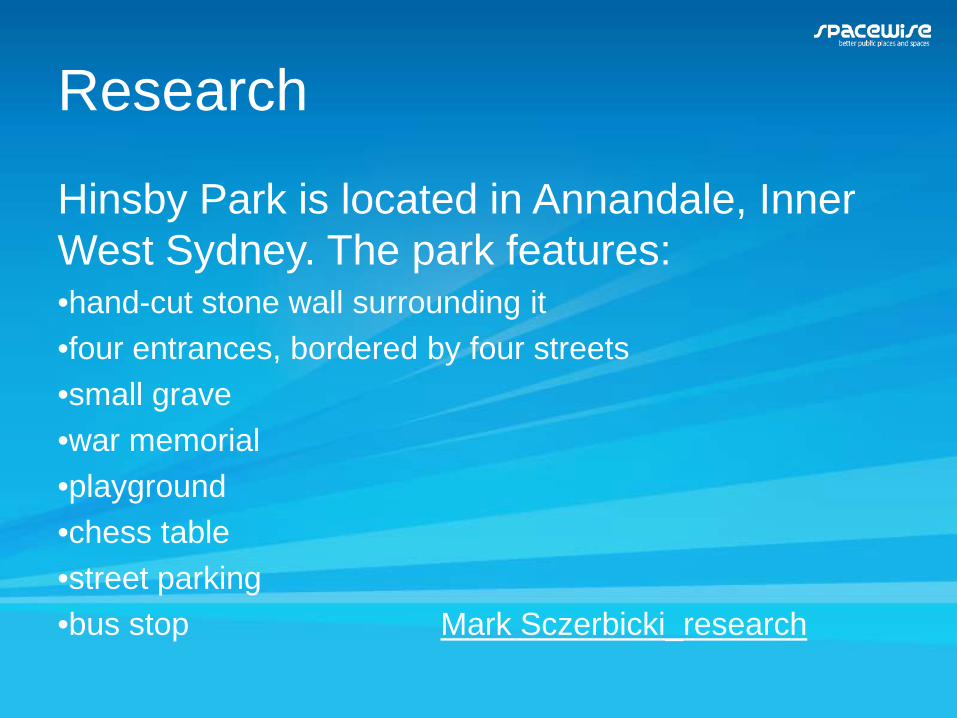
Research
Hinsby Park is located in Annandale, Inner West Sydney. The park features:•hand-cut stone wall surrounding it•four entrances, bordered by four streets•small grave•war memorial•playground•chess table•street parking•bus stop Mark Sczerbicki_research


Activity 2A: explore a public space
The purpose of this activity is to explore a public space using either a drawing or mapping activity.
Strategy: Expert jigsawHalf the participants on each table will complete:
• Photographic elevation of site and surrounding area
The remaining participants will complete a site plan using• Google map (Laptop wrap: Google mapping it out)http://lrr.dlr.det.nsw.edu.au/Web/mapping_it_out/
Report your observations to the whole group.

Studio EStudio E is an interactive learning tool that:
• explicitly scaffolds thinking for students in the Exploring and defining phase of the process
• allows students to develop a project brief• enables students to gain ownership of project
brief• has a linear structure but enables iterative
refinement• allows self-paced learning and lateral
approaches to thinking• was developed for Stages 3 and 4 students.

Studio Ewww.enterpriselearning.nsw.edu.au/Studio E is located on the Enterprise Learning web site under the Middle Years button. The Enterprise Learning web site is a focal point for the development of an enterprise culture in schools K–12.
Use identifiable user names and a common password so teacher can access. For example, khsname; password: kadina

Activity 2B
The purpose of this activity is to become familiar with Studio E and its use in developing a project brief.
Examine the sample project brief generated using Studio E.In pairs (site plan person and photographic elevation person) complete the project brief. Discuss in pairs how you could work through this with students.

Consequences
The production and use of the project could have the following consequences:
• it could impact others by obstructing views, obstructing space
• developing the solution could impact on the environment by removing open space
• using the product could increase community use of the area

Criteria for success
For the design solution to be successful, it will need to:• provide shelter from the elements• be constructed using appropriate materials• aesthetically pleasing• create a sense of belonging

Minimise impact
During development of the project it will be important to minimise the impact of:•noise for neighbours•safety and security issues•disruption to users of the park •construction on environment, including plants, run-off

Resource book• Register, log on and navigate, pages 26-27• Icons, page 28• Tips, pages 29-30• Strategies for supporting students, pages 31-32http://www.enterpriselearning.nsw.edu.au/StudioE/

Next session:
Architect presentationScaleDrawingModel: material or electronicEvaluation

Morning tea

Architect presentation

Session 3Generating and developing
ideas

Generating and developing ideas Involves students:
• exploring options and considering existing solutions
• identifying, exploring and selecting resources such as techniques, materials and equipment that will best achieve the solution
• generating alternatives• representing and refining those ideas • deciding upon options, taking into account
short-term and long-term impacts of their decisions and actions.

“Always design a thing by considering it in its next larger context – a chair in a room, a room in a house, a house in an environment, an environment in a city plan.” Eliel Saarinen
Frederick, M. (2007) 101 things I learned in Architecture School, MIT Press, Cambridge, p. 92.
Scale drawings

A parti
A parti is the central idea or concept of a building.…it can be expressed several ways but is most often expressed by a diagram depicting the general floor plan…of a building and, by implication, its experiential and aesthetic sensibility.A parti diagram can describe: massing, entrance, spatial hierarchy, site relationship, core location etc.
Frederick, M. (2007) 101 things I learned in Architecture School, MIT Press, Cambridge, p. 15.

Activity 3AThe purpose of this activity is to generate and develop ideas for a shelter using a range of drawing techniques.
Individually generate one idea for the type of shelter allocated to your group using freehand drawing – parti. Sample drawingsNote the measurements of the base of the shelter, the height, the size of any furniture on the drawing. Grid paper may be helpful.

Designing with models3D models – both material and electronic – can help you understand your project in new ways. The most useful model for designing is the building massing model – a quick material study by which you can easily compare and test design options under consideration.
Carefully crafted, highly detailed finish models are not useful as design tools, as their purpose is to document design decisions already made rather than help evaluate ideas under consideration.
Frederick, M. (2007) 101 things I learned in Architecture School, MIT Press, Cambridge, p. 72
Working modelsGuggenheim shelter competition

Frank Gehry Frank Gehry, renowned architect of the Guggenheim
Museum, Bilbao, Spain generates his designs initially from models
“…he dared to dream about buildings that transcend the rectilinear approach that defines so much of architecture”

Activity 3B
The purpose of this activity is to generate and develop ideas for a shelter using either a material or electronic modelling technique.
In your group, whoever completed the Google mapping activity will now model a design in traditional materials. The other half of the group will use Google SketchUp to create an electronic model.In groups of 2 or 3 choose one design to model.

Evaluating
An essential component of each phase. Evaluation throughout against the criteria for
success, informs all students’ decisions. Evaluation at the conclusion involves reflection on
and learning about the process used and the success of the solution.

Design process strategies• Design process teaching and learning strategies• Grid matching strategies to stages of the design
processWord documents:Designing and producing K–12www.curriculumsupport.education.nsw.gov.au/designproduce/index.htm
OneNote notebook:Digital education revolutionhttp://www.curriculumsupport.education.nsw.gov.au/digital_rev/technology/index.htm

StrategiesExploring and definingthe
task
Generating and developing ideas
Producing solutions
Planning and managing design
projects
Evaluating problemsand
solutionsRetrieval chart
SCUMPS
Y chart
‘So, what's the problem?'Disadvantages/improvementsP.C.Q.
Expert jigsaw
POOCH
Paired interviews

Activity 3C
The purpose of this activity is to evaluate your ideas for a shelter using the thinking strategy SCUMPS.
Evaluate your ideas for the shelter using the questions on page 15, Participant workbook.
SCUMPS stands for size, colour, use, materials, parts and shape. It is a useful tool for generating and developing ideas but can also be used with a set of expanded questions to evaluate solutions.
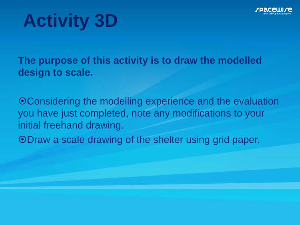
Activity 3D
The purpose of this activity is to draw the modelled design to scale.
Considering the modelling experience and the evaluation you have just completed, note any modifications to your initial freehand drawing.Draw a scale drawing of the shelter using grid paper.

Lunch

Session 4Producing solutions

Producing solutionsInvolves students:
• completing design decisions• completing final design representations such as
production drawings or storyboards• sequencing the step-by-step actions• managing safety risks• practicing and refining techniques• completing the production of the solution.

Planning and managing
An essential component of each phase.
Management involves:• planning and reviewing achievement of
milestones• implementing and monitoring time, action and
financial plans.

Studio presentations
Show and tell and personal reflections

How do I teach this?
Review the program summary by Kim Ihnatko, Strathfield South High School,page 5, Resource book.Review the Spacewise kit, see USB
thumbdrive.

Documenting the process
A scaffolded design folio can assist students to document the design process and allows teachers to highlight the aspects they want to assess in each project.Review the Spacewise design folio. Note
how the questions give student direction.

Resources

Curriculum Support web sites
Curriculum Support web sitewww.curriculumsupport.education.nsw.gov.au/secondary/technology/i
ndex.htm

Designing and producing K–12
www.curriculumsupport.education.nsw.gov.au/designproduce/index.htm

Technology education K–8: Design in practicewww.curriculumsupport.education.nsw.gov.au/designproduce/design/index.
htm


Assessment for learninghttp://www.assessmentforlearning.edu.au/default.asp


Google SketchUphttp://www.curriculumsupport.education.nsw.gov.au/digital_rev/technology/graphics/index.htm
http://www.curriculumsupport.education.nsw.gov.au/secondary/technology/workshops/watch_this_space/index.htm

Laptop wraps: Google mapping
http://lrr.dlr.det.nsw.edu.au/Web/mapping_it_out/

Draw it
http://lrr.dlr.det.nsw.edu.au/Web/drawit/index.htm

Architectural drawing
http://lrr.dlr.det.nsw.edu.au/Web/arch_draw/

Laptop wrap: Australian architecture
http://lrrpublic.cli.det.nsw.edu.au/lrrSecure/Sites/Web/architecture/index.htm?Signature=(5e306578-2ca4-4d55-ab83-ccd422474860)

Design folioshttp://www.curriculumsupport.education.nsw.gov.au/digital_rev/technology/design/index.htm


Videos
• Sketches of Frank Gehry DVD, a documentary by Sydney Pollack
• My Architect: A son’s journey DVD, a documentary by Nathaniel Kahn on the life of Louis Kahn