water web services hub for capcog by david r. maidment and fernando salas director, center for...
TRANSCRIPT
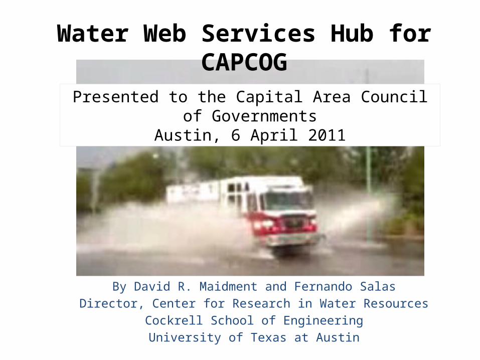
Water Web Services Hub for CAPCOG
By David R. Maidment and Fernando SalasDirector, Center for Research in Water Resources
Cockrell School of EngineeringUniversity of Texas at Austin
Presented to the Capital Area Council of GovernmentsAustin, 6 April 2011

Emergency Response System (CAPCOG)

ESInet – Emergency Services Internet Network
Slide from: John BrosowskyProduct Development Director, GeoComm
Next Generation 911
Geographic location by coordinates

Water Web Services Hub for CAPCOG
USGS
LCRA
NWS
COA
NDFD

Tropical Storm Hermine, Sept 7-8, 2010
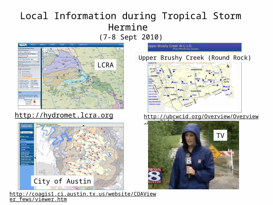
Local Information during Tropical Storm Hermine (7-8 Sept 2010)
http://hydromet.lcra.org
http://coagis1.ci.austin.tx.us/website/COAViewer_fews/viewer.htm
http://ubcwcid.org/Overview/Overview.aspx?id=1
LCRA
City of Austin
Upper Brushy Creek (Round Rock)
TV

Internet Communications
People Media Local Government
Federal Government
People
Media
Local Government
Federal Government
Information Consumers
Info
rmati
on
Prod
ucer
s We are all connected
Web services can play an important role in this……

http://waterservices.usgs.gov/nwis/iv?sites=08158000&period=P7D¶meterCd=00060

Water Web Services Hub using WaterML
USGS
LCRA
NWS
COA
NDFD

10
IBM is collaborating with UT…. …. to help build a Smarter Planet

11

12Research Question: Can VLSI simulation models….. ….. be adapted to apply to river networks?

Web Services HUB
USGS
LCRA
NWS
COA
NDFD
Web Services HUB
Models
Handheld
Private
WebEOC
State EOC
Web Apps
Media
Systems
University
Data
WaterML
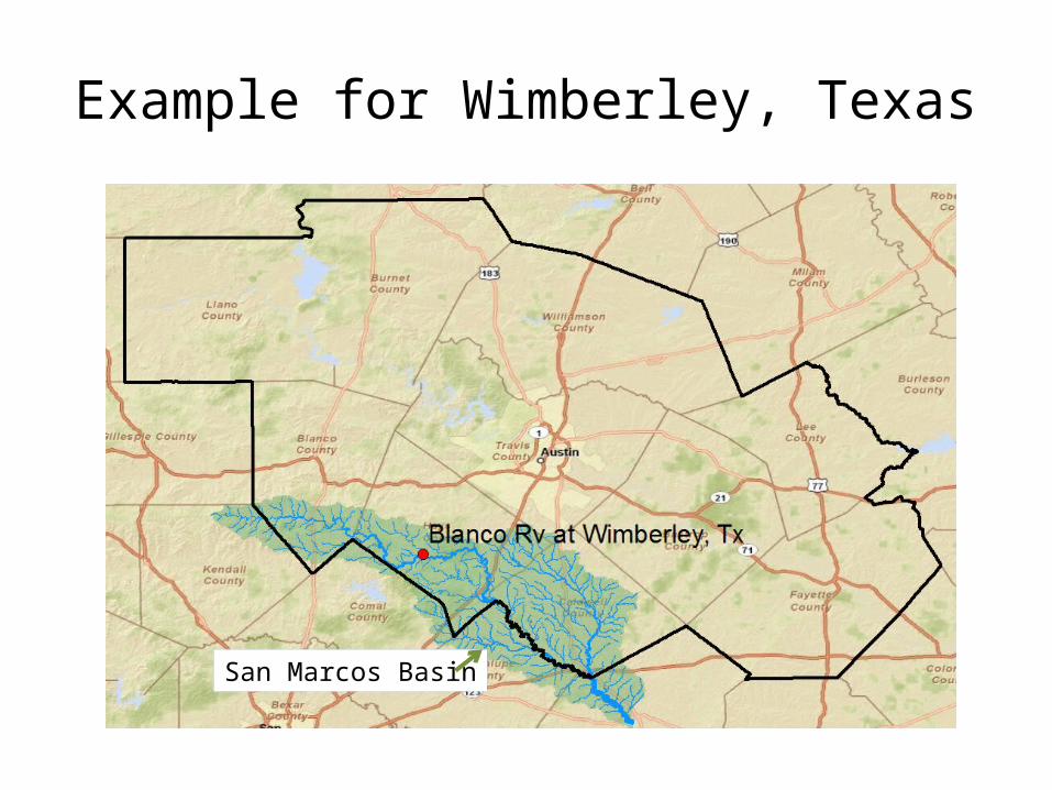
Example for Wimberley, Texas
San Marcos Basin
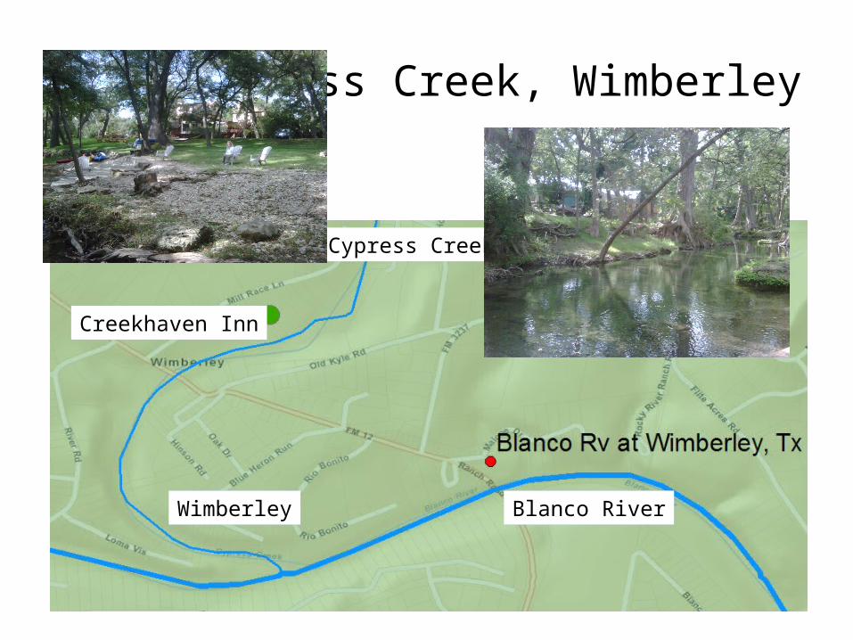
Cypress Creek, Wimberley
Cypress Creek
Blanco RiverWimberley
Creekhaven Inn
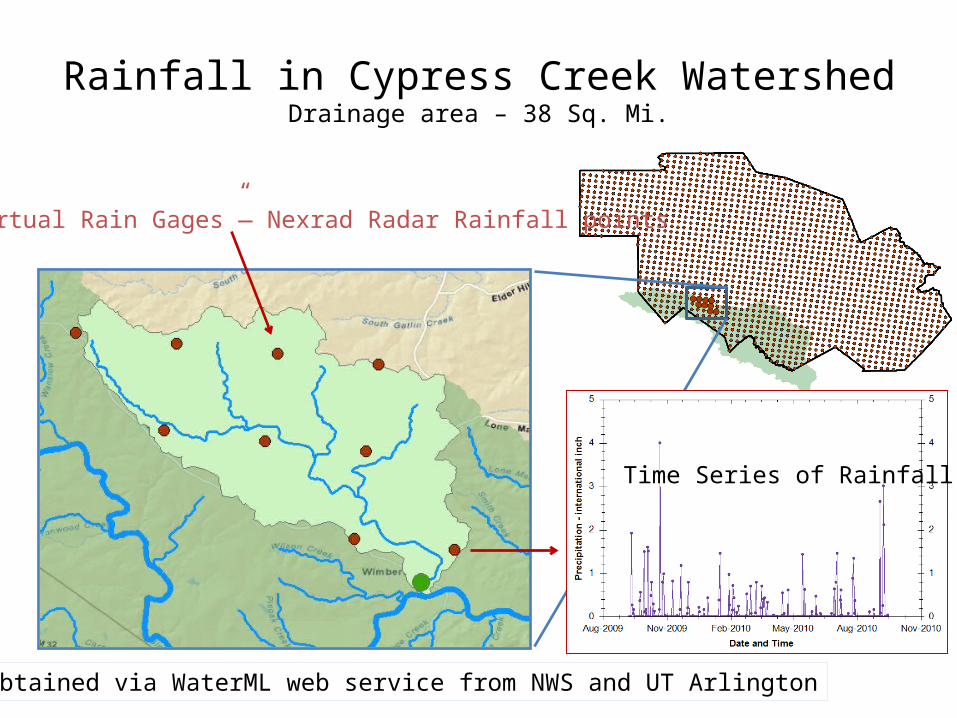
Rainfall in Cypress Creek WatershedDrainage area – 38 Sq. Mi.
“Virtual Rain Gages”— Nexrad Radar Rainfall points
Time Series of Rainfall
Data obtained via WaterML web service from NWS and UT Arlington

Local Water Level Sensors operated by homeowners
Cypress Creek
Creekhaven Inn
A pressure sensor
Wireless Transmission to Nearby Building
Internet Transmission to ESINet