utton transboundary resources center - …jcoonrod/rgseminar/rgseminaskelly.pdf · – transferred...
TRANSCRIPT
UTTON TRANSBOUNDARY RESOURCES CENTER
University of New MexicoSchool of Law
Susan Kelly, Esq.

• The Utton Center is a Water Policy Center.
• We address transboundary water resource issues by providing expertise from a neutral standpoint.

Overview of Rio GrandeLegal and Transboundary Issues
October 17, 2006
Rio Grande Seminar

Pueblos• First water users of Rio Grande.
• Tewa people supported their dryland farming with irrigation ditches even before 1200 A.D.
• Irrigation ditches used by Native American people were observed by Europeans as early as the 1500s.

Pueblos
• 18 Pueblos use water from Rio Grande.
• Estimates of irrigated areas:– 20,000 acres in 1896– 25,000 acres in 1924– over 8,000 acres today in MRG

Six Middle Rio Grande Pueblos
• Cochiti• Santo Domingo• San Felipe• Santa Ana• Sandia• Isleta

ACEQUIAS
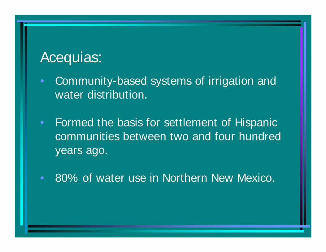
Acequias:• Community-based systems of irrigation and
water distribution.
• Formed the basis for settlement of Hispanic communities between two and four hundred years ago.
• 80% of water use in Northern New Mexico.

Key dates in New Mexico water law
• Treaty of Guadalupe Hidalgo - 1848
– Transferred sovereignty from Mexico to the United States.
– Guaranteed property rights in existence at that time.

1907 Water Code
• Protected surface waters of the State.
• Office of State Engineer authority.
• Water rights in existence were vested.

New Mexico Constitution
• Prior appropriation doctrine.
• Origin – early California mining law.
• First in time, first in right.
• Right continues as against subsequent appropriators as long as water is put to beneficial use.

Beneficial use• Application of water to a lawful purpose
that is useful to the appropriator.
• Includes most uses – but “waste” is not a beneficial use.
• The Basis, the Measure, and the Limitof water rights in the West.

Key word is use:• Right can be lost if not put to beneficial use.
• Basis: water right is based on when first put to use and the type of use.
• Measure: The amount of a water right is determined by the amount put to beneficial use.
• Limit: Cannot use more than the amount of the permitted right.

Water rights can be lost:
• Forfeiture (requires State Engineer action).
• Abandonment (requires evidence of non-use).

Groundwater
• 1931 Water Code. Recognized groundwater connected to stream system.
• Permit required for withdrawals in declared basins.

Middle Rio Grande Basin
• 1956 Declaration of the MRG Basin.
• City of Albuquerque v. Reynoldsresulted in City’s vested groundwater rights.
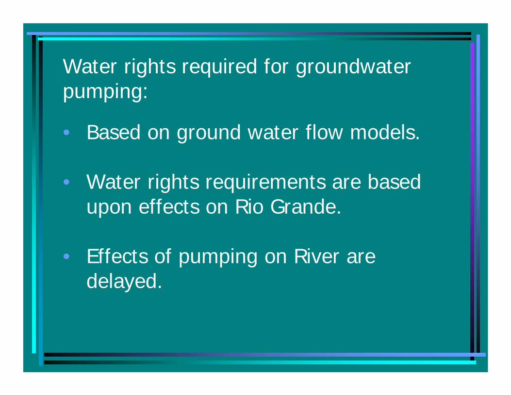
Water rights required for groundwater pumping:
• Based on ground water flow models.
• Water rights requirements are based upon effects on Rio Grande.
• Effects of pumping on River are delayed.

Rio Grande fully appropriated:
• All water in Rio Grande is appropriated.
• Therefore, any new or expanded use is required to be offset by the retirement of another use.
• This results in a “water market” and transfer process.
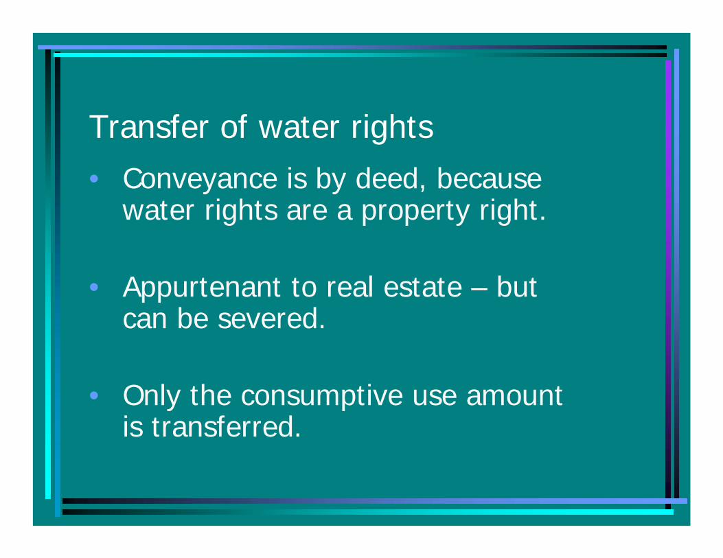
Transfer of water rights• Conveyance is by deed, because
water rights are a property right.
• Appurtenant to real estate – but can be severed.
• Only the consumptive use amount is transferred.

Transfer process
• Declaration (of vested rights).• Application to Change Point of
Diversion and Place and/or Purpose of Use from Surface to Groundwater.
• Advertisement.• Opportunity for Protest.

State Engineer Criteria
• No impairment of other rights.
• Not contrary to public welfare.
• Not contrary to water conservation.

Priority study required in Middle Rio Grande:
• 1917 maps.• 1926 appraisal sheets.• Continuous use (aerial photos –
1935, 1947, 1955, 1965).• Other proof of pre-1907.

Brief Overview of the Rio Grande water supply

Courtesy of Upper Rio Grande Water Operations Model
US Army Corps of Engineers
NM Interstate Stream Comm.
US Bureau of Reclamation
UPPER RIO GRANDE MAP

Interstate Compacts
• Like a treaty between states.• Regulate the right to use water coming into
and leaving the state.• New Mexico is a party to 9 interstate
compacts.• The Rio Grande Compact, The Pecos River
Compact and the Colorado River Compactsare the most significant.


Rio Grande Compact
• Colorado, New Mexico, Texas.
• NM delivery requirement determined at Otowi gage.
• New Mexico delivers at Elephant Butte.

Heron Reservoir – Chama River

San Juan – Chama Project• 1971 – tunnels through Continental
Divide take water to Heron.
• Bureau of Reclamation project.
• Benefits City of Albuquerque, MRGCD, and other contractors.
• Subject of silvery minnow litigation


Little Navajo Diversion

El Vado Reservoir – on Chama River

El Vado Reservoir• Built to store water for Middle Rio
Grande Conservancy District.
• Stores prior and paramount Pueblo rights.
• Article VII restriction on post-1929 reservoir storage of native RG water.

Abiquiu Reservoir – on Chama River

Abiquiu Reservoir
• Built by Army Corps of Engineers for flood and sediment control.
• Stores San Juan-Chama water.
• Native Rio Grande storage authorized by federal law.
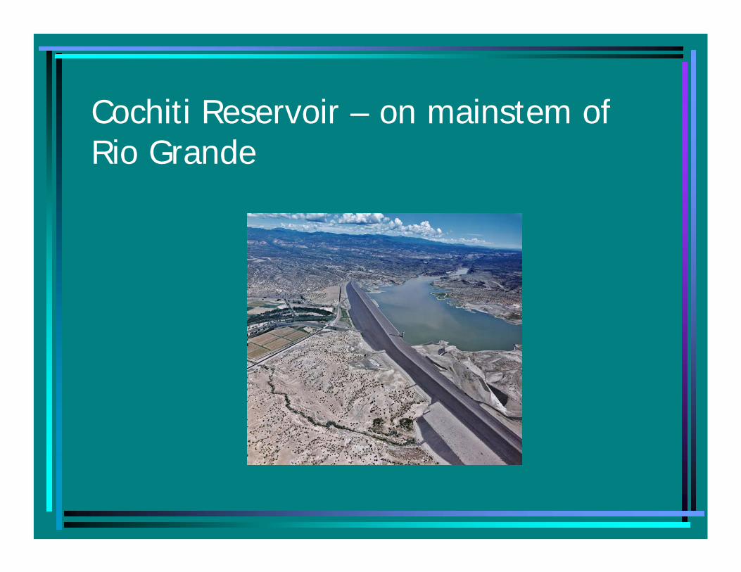
Cochiti Reservoir – on mainstem of Rio Grande

Cochiti Reservoir
• Built by Corps of Engineers - flood control for Albuquerque.
• Permanent storage - small recreational pool.
• Cochiti Pueblo concerns.
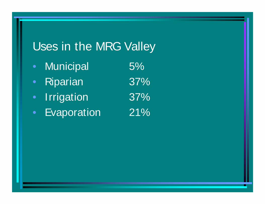
Uses in the MRG Valley
• Municipal 5%• Riparian 37%• Irrigation 37%• Evaporation 21%
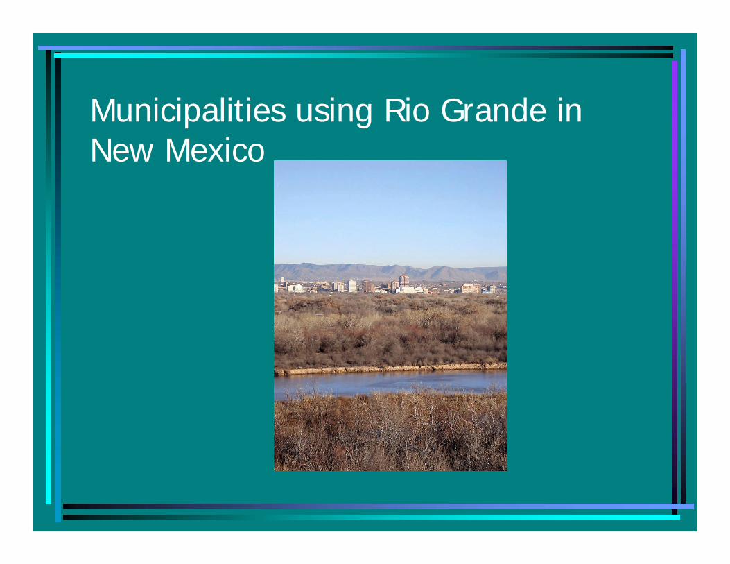
Municipalities using Rio Grande in New Mexico

Municipal• Taos• Espanola• Santa Fe/Santa
Fe County• Bernalillo• Rio Rancho
• Albuquerque• Los Lunas, Belen,
Socorro• Truth or
Consequences• Las Cruces• El Paso

Irrigation

Agriculture
• Peaked in Middle Valley between 1850 and 1880:– 125,000 acres irrigated.
• Today: – 50 – 70,000 acres irrigated through Middle
Rio Grande Conservancy District works.

Middle Rio Grande Conservancy District
• Established in 1923.• A system of diversions and dams for
flood control and irrigation.• The MRGCD operates ditches,
reservoirs and dams.• Raises revenues from its members to
pay for construction and maintenance of projects.

Elephant Butte Irrigation District:
• Elephant Butte to State Line • 16,000 claimants.
Lower Rio Grande Adjudication
• Below Elephant Butte• 90,000 acres
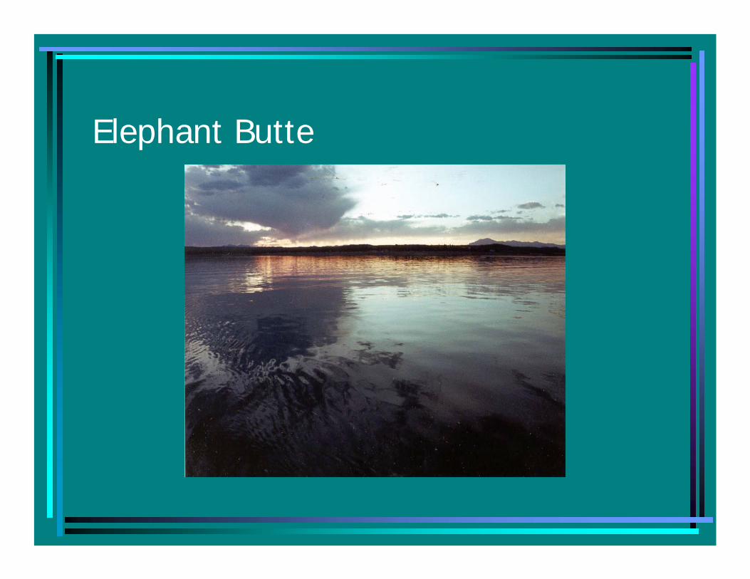
Elephant Butte
Elephant Butte
• Storage for Rio Grande Project.
• Constructed by Bureau of Reclamation in 1916.
• 57% of water delivered to Texas pursuant to Rio Grande Compact is used in New Mexico.

Elephant Butte
• Evaporative loss 10-30% of basin depletions.
• 140,000 acre-feet or 2.5 times usage of City of Albuquerque.
• 1999 storage: 2 MAF.
• 2006 storage: 400,000 a-f.

Riparian

Evapotranspiration – The sum of evaporation and plant transpiration
Steps to reduce:
– Non-native species removal
– Water salvage potential
– Who gets savings?

Treaty with Mexico - 1906
• 60,000 acre feet delivered to Mexico at Ft. Quitman.
• Deliveries reduced proportionate to reductions in Rio Grande Project storage.

1944 Treaty
• Rio Grande below Ft. Quitman essentially a different river.
• Runoff from Mexican mountains.
• Roughly: 2/3 goes to Mexico and 1/3 to Texas.

Transboundary Issues with Mexico:
• Groundwater pumping
• Data exchange
• Water quality
• Extraordinary drought