three simple steps to mapify your big data kpis
TRANSCRIPT

Ryan GoodmanCEO Centigon Solutions
@rmgoodm
Ryan Goodman is Centigon Solutions CEO, author, and expert in Business Intelligence. Ryan applies over 12 years designing business applications to his leadership role shaping Centigon Solutions’ Location Intelligence platform strategy. Today, Ryan is focused on pushing wider adoption of Business Intelligence through visualization and Location based services.
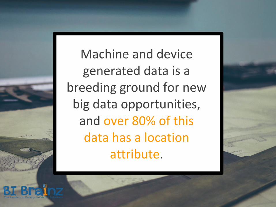
Machine and device generated data is a
breeding ground for new big data opportunities,
and over 80% of this data has a location
attribute.

Your customers and employees are location aware beacons thanks to smartphones and wearables. The physical world we live and work in is
digitized more than ever before.
Why Location Matters?

Harnessing this location data and effectively mapifying your KPIs can expose problems and opportunities that may be hidden in plain sight.
Why Location Matters?
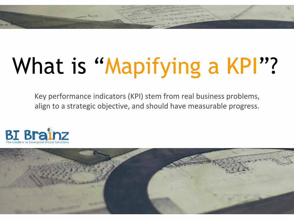
Key performance indicators (KPI) stem from real business problems, align to a strategic objective, and should have measurable progress.
What is “Mapifying a KPI”?
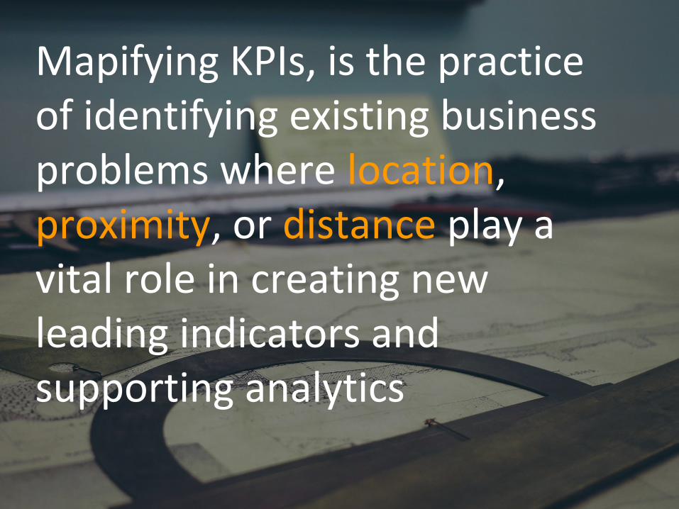
Mapifying KPIs, is the practice of identifying existing business problems where location, proximity, or distance play a vital role in creating new leading indicators and supporting analytics


Starting with your existing
business KPIs and metrics for
sales, operations, marketing, or
HR, you can easily uncover
problems where location based
metrics can help support your
lines of business.
How to visualize and
communicate progress
using maps is not
important during this
first step.

Check out the full post for
some great examples...
Full Post Portal


Density, distance,
proximity, and other
measurements are more
common to GIS analysts
than business leadership.

Those organizations that
master these measures
within their lines of
business have a
competitive advantage.

More examples right
here!
Full Post Portal


For new “big data”
powered leading
indicators and analytics, it
is critical to hypothesize
your optimal measures
for success.

Then, using the analytics or
GIS tools on hand, you can
explore and standardize
before holding your
organization accountable
for increasing
performance.

For some kickass
examples, click here...
Full Post Portal

Want help with this top-down approach to Location Intelligence?
CONNECT WITH US
CLICK THE LINK

For more great content go to…
BIBrainz.com/aofEdited by
Matthew Broderick
Managing Editor of Analytics on Fire
@MattdBroderick