localized flash flooding and severe threat late wed into
TRANSCRIPT
New York, NYWEATHER FORECAST OFFICE
ISSUED: 9/7/2021 5:27 PM www.weather.gov/nyc
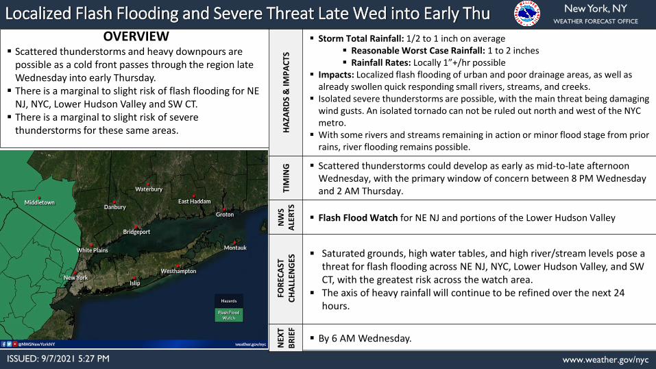
Localized Flash Flooding and Severe Threat Late Wed into Early Thu OVERVIEW
Scattered thunderstorms and heavy downpours are possible as a cold front passes through the region late Wednesday into early Thursday.
There is a marginal to slight risk of flash flooding for NE NJ, NYC, Lower Hudson Valley and SW CT.
There is a marginal to slight risk of severe thunderstorms for these same areas. H
AZA
RD
S &
IMP
AC
TS
Storm Total Rainfall: 1/2 to 1 inch on average Reasonable Worst Case Rainfall: 1 to 2 inches Rainfall Rates: Locally 1”+/hr possible
Impacts: Localized flash flooding of urban and poor drainage areas, as well as already swollen quick responding small rivers, streams, and creeks.
Isolated severe thunderstorms are possible, with the main threat being damaging wind gusts. An isolated tornado can not be ruled out north and west of the NYC metro.
With some rivers and streams remaining in action or minor flood stage from prior rains, river flooding remains possible.
TIM
ING Scattered thunderstorms could develop as early as mid-to-late afternoon
Wednesday, with the primary window of concern between 8 PM Wednesday and 2 AM Thursday.
NW
S A
LER
TS
Flash Flood Watch for NE NJ and portions of the Lower Hudson Valley
FOR
ECA
STC
HA
LLEN
GES
Saturated grounds, high water tables, and high river/stream levels pose a threat for flash flooding across NE NJ, NYC, Lower Hudson Valley, and SW CT, with the greatest risk across the watch area.
The axis of heavy rainfall will continue to be refined over the next 24 hours.
NEX
T B
RIE
F
By 6 AM Wednesday.

New York, NYWEATHER FORECAST OFFICE
ISSUED: 9/7/2021 5:27 PM www.weather.gov/nyc
Expected Rainfall – Official NWS Forecast

New York, NYWEATHER FORECAST OFFICE
ISSUED: 9/7/2021 5:27 PM www.weather.gov/nyc
Excessive Rainfall Outlook Wednesday AM – Thursday AM

New York, NYWEATHER FORECAST OFFICE
ISSUED: 9/7/2021 5:27 PM www.weather.gov/nyc
River Forecasts
Several gauges remain in action or minor flood stage. Additional water rise is possible with this event.
Latest river forecasts can be found here.You can also refer to the Mid- Atlantic or Northeast River Forecast Center for the latest information on river forecasts:https://www.weather.gov/marfhttps://www.weather.gov/nerfc/
New York, NYWEATHER FORECAST OFFICE
ISSUED: 9/7/2021 5:27 PM www.weather.gov/nyc
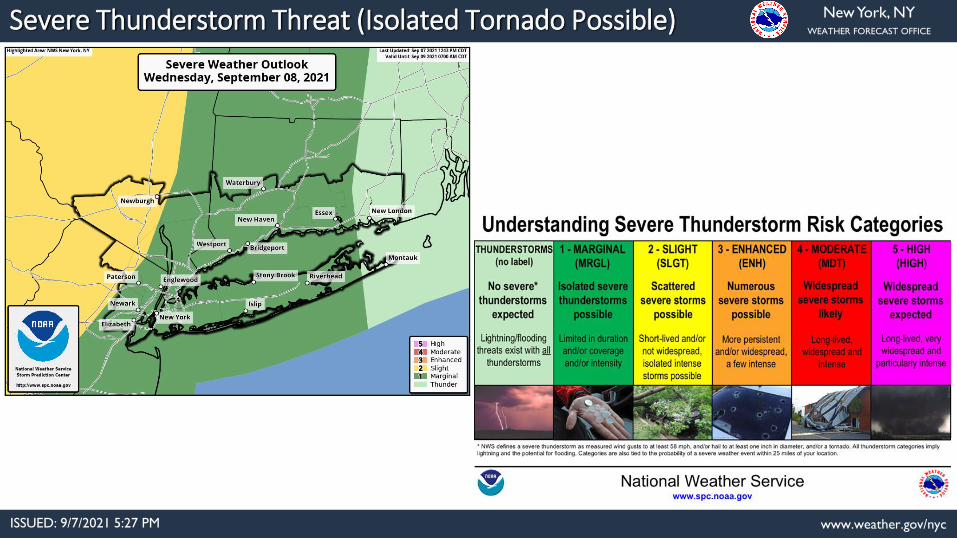
Severe Thunderstorm Threat (Isolated Tornado Possible)

Weather Forecast Office Presentation Created 9/7/2021
5:27 PMFollow us on Twitter Follow us on Facebook
Event Summary
✓ Thunderstorms are expected to develop in the late afternoon and evening hours Wednesday along and in
advance of a cold front moving through the Northeast. The best chances for thunderstorms appear to be between
8 PM Wednesday and 2 AM Thursday.
✓ There is potential for the storms to train over the same areas, as the cold front will be slow moving. As a result,
locally heavy rainfall is possible, with amounts of 1-2+ inches possible where training storms occur. The saturated
soils from last week's excessive rainfall threat mean our region is particularly vulnerable to flash flooding.
✓ The environment appears marginal for severe weather, with the biggest threat being locally damaging wind
gusts. With storms most likely to occur well after peak heating of the day, this may reduce the overall threat. An
isolated tornado also cannot be ruled out, especially north and west of New York City.
New York, NY