climate by: brianna shields november 21, 2005 by: brianna shields november 21, 2005
Post on 21-Dec-2015
218 views
TRANSCRIPT
Climate
By:Brianna Shields
November 21, 2005

DO NOWDO NOW
• Complete page 6 in your weather journal. Use the internet from the screen and the Post Journal off the front counter
• Complete page 6 in your weather journal. Use the internet from the screen and the Post Journal off the front counter

Weather in Inland vs. Coastal Areas
Weather in Inland vs. Coastal Areas
• Inland vs. Coastal Cities
• Inland vs. Coastal Cities
• Use your Peru Weather Table to answer the following questions in your notebook:• 1. Do you notice any trends
(patterns) on this table? • 2. What cities tend to have
warmer temps? Colder temps?• 3. What is the average temp for
the inland cities? Coastal cities? Use a calculator
• 4. Why do you think one was warmer or colder than the other?

Weather in Inland vs. Coastal Areas
Weather in Inland vs. Coastal Areas
• Inland vs. Coastal Cities
• Inland vs. Coastal Cities
• Write the following in your notebook:
• Coastal cities have milder temperatures than inland cities because the ocean takes longer to heat up and longer to release the heat.
• Soil heats and cools much faster• Seasons at the coast tend to be
milder (warmer winters and cooler summers than inland)
• Write the following in your notebook:
• Coastal cities have milder temperatures than inland cities because the ocean takes longer to heat up and longer to release the heat.
• Soil heats and cools much faster• Seasons at the coast tend to be
milder (warmer winters and cooler summers than inland)

Weather in Inland vs. Coastal Areas
Weather in Inland vs. Coastal Areas
• Inland vs. Coastal Cities
• Inland vs. Coastal Cities
• Look at this map of Peru. Which of these two cities would have a more moderate (mild) temperature• HUACHO:
• Latitude 11.1 S• Elevation: 67 m• Location: Coast
• ESPERANZA:• Latitude: 9.8 S• Elevation: 253 m• Location: Inland
• Look at this map of Peru. Which of these two cities would have a more moderate (mild) temperature• HUACHO:
• Latitude 11.1 S• Elevation: 67 m• Location: Coast
• ESPERANZA:• Latitude: 9.8 S• Elevation: 253 m• Location: Inland
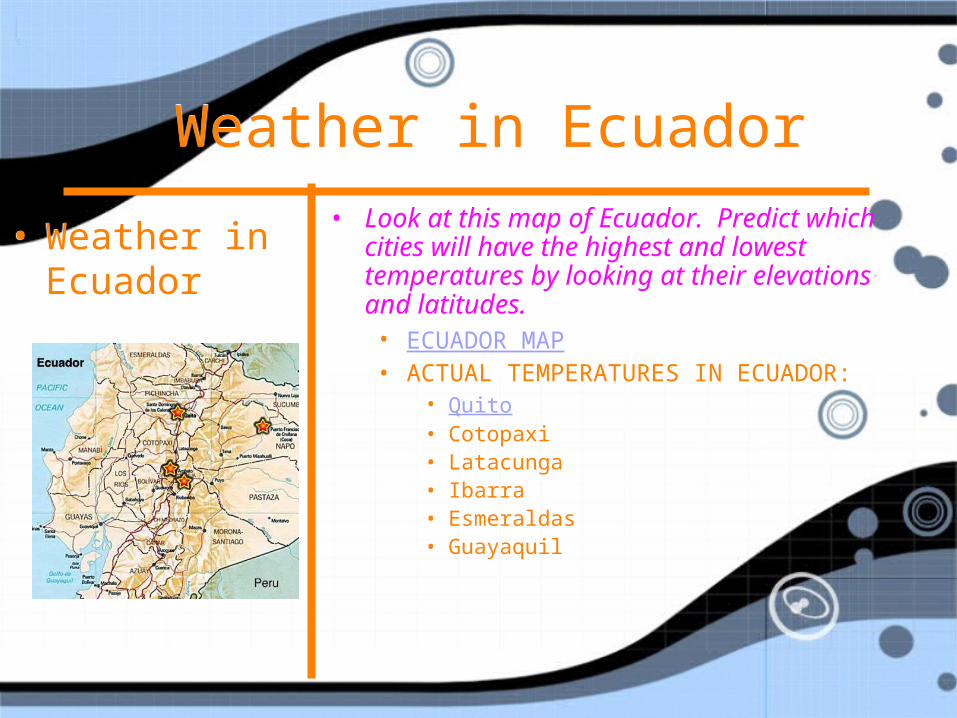
Weather in Ecuador Weather in Ecuador
• Weather in Ecuador
• Weather in Ecuador
• Look at this map of Ecuador. Predict which cities will have the highest and lowest temperatures by looking at their elevations and latitudes.• ECUADOR MAP• ACTUAL TEMPERATURES IN ECUADOR:
• Quito• Cotopaxi• Latacunga• Ibarra• Esmeraldas• Guayaquil
• Look at this map of Ecuador. Predict which cities will have the highest and lowest temperatures by looking at their elevations and latitudes.• ECUADOR MAP• ACTUAL TEMPERATURES IN ECUADOR:
• Quito• Cotopaxi• Latacunga• Ibarra• Esmeraldas• Guayaquil

Weather in Ecuador Weather in Ecuador
• Weather in Ecuador
• Weather in Ecuador
• Answer the following questions in your notebook:• 1. How does elevation affect
temperature?• 2. Can you rely on one day’s worth of
data to determine a general trend between temperature and elevation?
• 3. In the troposphere, the lowest or inner most layer of earth’s atmosphere, both air pressure and the density of air decrease as elevation increases. How and why do you think this affects the change in air temperature as elevation increases?

Comparing Weather in U.S. Cities
Comparing Weather in U.S. Cities
• Weather in U.S. cities
• Compare our weather recordings from Jamestown, Wichita and Montgomery. Answer the following questions in your notebook:
• Weather in U.S. cities
• Compare our weather recordings from Jamestown, Wichita and Montgomery. Answer the following questions in your notebook:
• 1. Compare the temperature in each city. What was the average for each one?
• 2. Compare the wind direction in each city. Did the wind generally come from one direction?
• 3. Did one city have more sunny or rainy days than others?
• 4. Which location experienced the most precipitation overall?
• 5. How would you describe the air pressure changes in each of the three cities?
• 6. Was there any relationship between air pressure and the sky conditions the following day in any of the three cities?

Comparing Weather in U.S. Cities
Comparing Weather in U.S. Cities
• Factors Affecting Climate
• In your notebook, create a list of factors that can affect climate and explain the specific role that each factor plays in determining the climate of a geographical region (how does each affect the climate of an area)
• Factors Affecting Climate
• In your notebook, create a list of factors that can affect climate and explain the specific role that each factor plays in determining the climate of a geographical region (how does each affect the climate of an area)
• 1. Latitude- directness of the sun’s rays
• 2. Elevation- relates to air pressure
• 3. Wind patterns (normal air masses brought in)
• 4. Local geography: Inland or coastal (presence or absence of water)
• 1. Latitude- directness of the sun’s rays
• 2. Elevation- relates to air pressure
• 3. Wind patterns (normal air masses brought in)
• 4. Local geography: Inland or coastal (presence or absence of water)

Weather JournalWeather Journal
• Get out your weather logging journal
• One student, will go to the library and get the weather conditions from the Weather Station.
• Fill this in on page 6 of your journal under the Jamestown, NY “Library Station” weather section
• Get out your weather logging journal
• One student, will go to the library and get the weather conditions from the Weather Station.
• Fill this in on page 6 of your journal under the Jamestown, NY “Library Station” weather section
Weather JournalWeather Journal
• Look in the Post Journal for Jamestown’s weather forecast.
• Fill the weather conditions into your weather logging journal on page 6.
• Look in the Post Journal for Jamestown’s weather forecast.
• Fill the weather conditions into your weather logging journal on page 6.

Weather JournalWeather Journal
• Visit the weather underground site and fill in the weather forecast for Jamestown, NY.
• This goes on page 6 of our weather journal.
• To find the weather forecast, type the city and state name in the top left corner of the screen
• Visit the weather underground site and fill in the weather forecast for Jamestown, NY.
• This goes on page 6 of our weather journal.
• To find the weather forecast, type the city and state name in the top left corner of the screen

Weather JournalWeather Journal
• Visit the weather underground site again and enter the weather conditions for each of these cities:• Montgomery, Alabama• Wichita, Kansas
• This goes on page 12 of your weather journal.
• Visit the weather underground site again and enter the weather conditions for each of these cities:• Montgomery, Alabama• Wichita, Kansas
• This goes on page 12 of your weather journal.

Weather JournalWeather Journal
• Visit the CNN weather maps and try to make predictions about tomorrow’s weather in the following cities:• Jamestown, New York• Montogomery, Alabama• Wichita, Kansas
• This goes on page 15 of your weather journal, under DAY Six.
• If you don’t know where in the U.S. each state is located, use a U.S. Map to find each one.
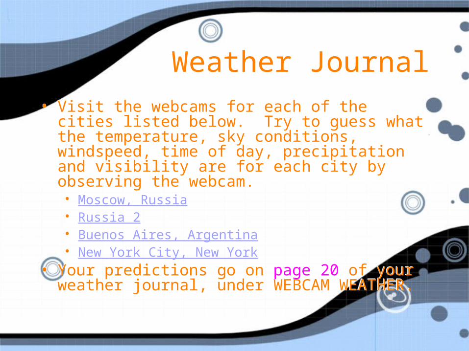
Weather JournalWeather Journal• Visit the webcams for each of the cities listed
below. Try to guess what the temperature, sky conditions, windspeed, time of day, precipitation and visibility are for each city by observing the webcam. • Moscow, Russia• Russia 2• Buenos Aires, Argentina• New York City, New York
• Your predictions go on page 20 of your weather journal, under WEBCAM WEATHER.
• Visit the webcams for each of the cities listed below. Try to guess what the temperature, sky conditions, windspeed, time of day, precipitation and visibility are for each city by observing the webcam. • Moscow, Russia• Russia 2• Buenos Aires, Argentina• New York City, New York
• Your predictions go on page 20 of your weather journal, under WEBCAM WEATHER.
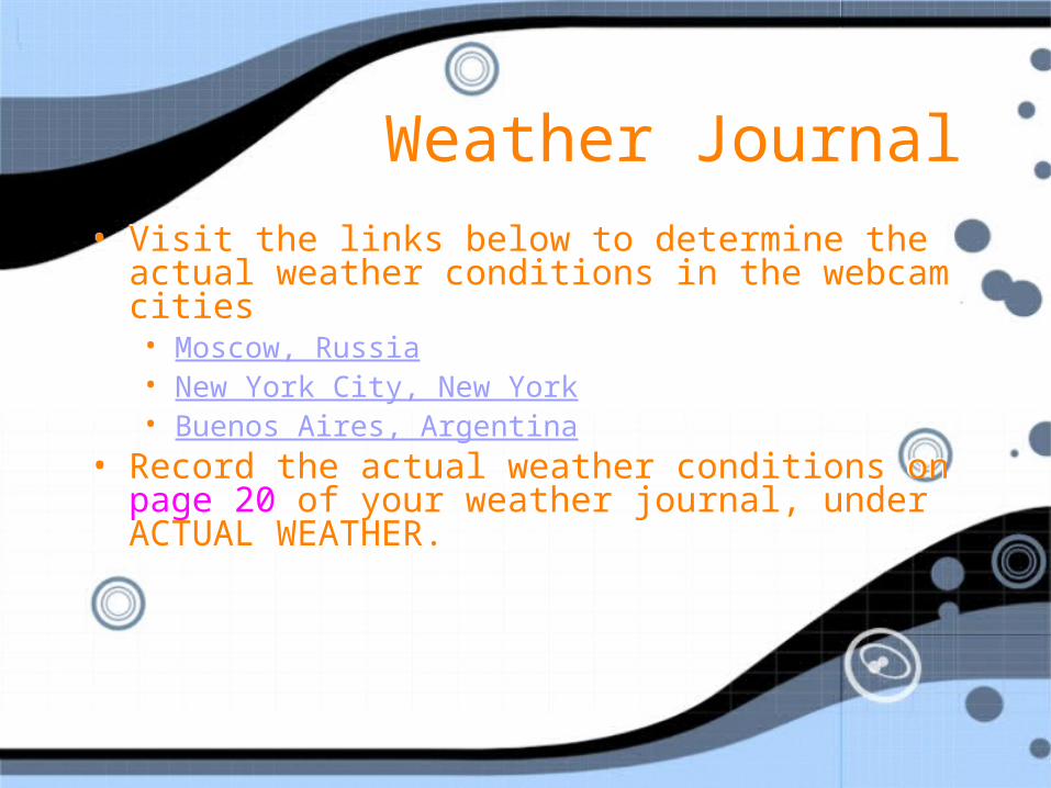
Weather JournalWeather Journal• Visit the links below to determine the actual
weather conditions in the webcam cities • Moscow, Russia• New York City, New York• Buenos Aires, Argentina
• Record the actual weather conditions on page 20 of your weather journal, under ACTUAL WEATHER.
• Visit the links below to determine the actual weather conditions in the webcam cities • Moscow, Russia• New York City, New York• Buenos Aires, Argentina
• Record the actual weather conditions on page 20 of your weather journal, under ACTUAL WEATHER.

Assessment: Reading Weather MapsAssessment: Reading Weather Maps
• Use the weather map to answer the questions• This is due next class• Use the weather map to answer the questions• This is due next class