thornton creek water quality channel, seattle,...
TRANSCRIPT

Thornton Creek Water Quality Channel, Seattle, Washington

“Swale on Yale,” Seattle, Washington


Meadowbrook Pond, Seattle, Washington

Meadowbrook Pond, Seattle, Washington

Meadowbrook Pond, Seattle, Washington

High Point, Seattle, Washington


Multnomah County Building, Portland. Oregon

Multnomah County Building, Portland. Oregon

Seattle Municipal Courthouse and City Hall, Seattle, Washington

Colman Center, Seattle, Washington

Colman Center, Seattle, Washington

Oxbow Park, Seattle, Washington

Element: cistern

Growing Vine Street, Seattle, Washington

Growing Vine Street, Seattle, Washington

Cascade Community Center, Seattle, Washington

Table of Elements
green infrastructure elements: mobility
performance metrics: percentage of people getting around without a car, obesity and diabetes rates, carbon footprint,
health calth care costs, pollutant levels

Chief Sealth Trail, Seattle, Washington, SvR

Element: complete street
assorted complete streets

Yale Avenue Campus, Seattle, Washington

Table of Elements
integrated systems form of a green infrastructure network, each landscape has a signature based on its elements
GI APPS
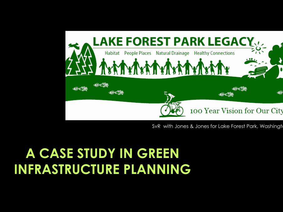
SvR with Jones & Jones for Lake Forest Park, Washington
A CASE STUDY IN GREEN INFRASTRUCTURE PLANNING

LFP’s Green Infrastructure Festival

watershed basins as the fundamental planning unit

what are your existing green infrastructure elements?what is missing? what would make the system whole?

a multi-dimensional gap analysis

a 100-year vision charrette, system by system, basin by basin

Lake Forest Park’s Green Infrastructure Plan: corridors and hubs

LFP Legacy projects, equitably distributed by basin

online voting for priority projects

online voting for priority projects

C1. Orchard Park
POSSIBLE PROJECT ELEMENTS:Habitat• improve Lyon Creek riparian habitatCommunity• acquire land for park• create orchard-themed passive open space
amenities
Water• use rain gardens, bioswales, and other LID
features to manage run-off from park and street
Mobility• build portion of Lyon Creekway trail• improve sidewalks and crosswalks near park
PROJECT LOCATION: new park on 35th Ave. NE in the Lyon Creekway
VISIBILITY: lowCHALLENGE: low

A4. Tolt Pipeline Trail PROJECT LOCATION: gateway on the northeast end of Bothell Way Arterial Green
Street and the Lakeway
POSSIBLE PROJECT ELEMENTS:Habitat• restore maintenance-appropriate native
habitat in pipeline right-of-way Community
Water• use bioswales, rain gardens, and other LID
features to manage trail run-offMobility• build multi-use trail for bikes and pedestrians
VISIBILITY: lowCHALLENGE: low

D1. Greening Perkins Way
POSSIBLE PROJECT ELEMENTS:Habitat• improve riparian and instream habitat along
McAleer CreekwayCommunity• build benches and overlooks for watching
and learning the creek• build trailhead onto Creekway trail
Water• use rain gardens, bioswales, and other LID
features to manage run-off from trail and street
Mobility• redevelop Perkins as one way with a separate
trail (on creek side) for bikes and peds;
PROJECT LOCATION: McAleer Creekway trail on Perkins from Whisper
Confluence to 178th intersection VISIBILITY: highCHALLENGE: medium

E3. Greening Brookside School
POSSIBLE PROJECT ELEMENTS:Habitat• improve riparian and wetland habitat at
confluenceCommunity• increase environmental and green building
education• build environmental art with kids to inspire
stewardship
Water• use green roofs, rain gardens, and other LID
features to manage run-off from schoolMobility• improve safe school walking routes from
neighborhood and from 178th Street Arterial Green Street
• increase public health and physical activity education
PROJECT LOCATION: schoolyard hublet at the confluence of the
Brookside and Hillside CreekwaysVISIBILITY: highCHALLENGE: low

F4. McAleer Creek Delta PROJECT LOCATION: @ intersection of the McAleer Creekway and the Lakeway
POSSIBLE PROJECT ELEMENTS:Habitat• restore and enhance Lake Washington
shoreline• create more distributary channels in McAleer
Creek Community• acquire lakeside parcels to increase public
access to the shoreline• build park amenities such as picnic shelters
and restrooms for shoreline visitors
Water• use bioswales, rain gardens, and other LID
features to manage run-off from adjacent roads and residences
Mobility• build trail spur between Bothell Way, Burke
Gilman trail, and the shoreline
VISIBILITY: mediumCHALLENGE: high

A2. Town Center PROJECT LOCATION: main hub @ intersection of main Creekways and Arterial Green
Streets
POSSIBLE PROJECT ELEMENTS (turn this into the TCNP)
• create a wider riparian buffer and remove fish blockages at 522 and under Town Center
• daylight Lyon Creek through the parking lot Community• create high-density, mixed-use, transit-
oriented development• create a central civic space for community
Water• use bioswales, green roofs, and other LID
features to manage parking lot run-offMobility• improve sidewalks and crosswalks to connect
neighbors to Town Center• create trail along Lyon Creekway (start of
connection between BG and Interurban)• park & ride facility
VISIBILITY: highCHALLENGE: high

GI APPS
URBAN GREEN INFRASTRUCTURE
PLANNING

GI APPS
URBAN GREEN INFRASTRUCTURE
PLANNING

Table of Elements
Layering is more than analysis, it is an agenda. Where systems interact, we have the potential for high performance landscapes.