the new combined satellite only model goco03s · institute of theoretical geodesy and satellite...
TRANSCRIPT

Institute of Theoretical Geodesy and Satellite Geod esy
Torsten Mayer-Gürr and the GOCO consortium
Institute of Theoretical Geodesy andSatellite Geodesy
Graz University of Technology
International Symposium on Gravity, Geoid and Height Systems 2012
Venice, Italy
The new combined satellite only model GOCO03s
Institute of Theoretical Geodesy and Satellite Geod esy
Mayer-Gürr et. al. 2
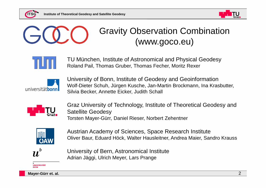
TU München, Institute of Astronomical and Physical GeodesyRoland Pail, Thomas Gruber, Thomas Fecher, Moritz Rexer
University of Bonn, Institute of Geodesy and GeoinformationWolf-Dieter Schuh, Jürgen Kusche, Jan-Martin Brockmann, Ina Krasbutter, Silvia Becker, Annette Eicker, Judith Schall
Graz University of Technology, Institute of Theoretical Geodesy and Satellite GeodesyTorsten Mayer-Gürr, Daniel Rieser, Norbert Zehentner
Austrian Academy of Sciences, Space Research InstituteOliver Baur, Eduard Höck, Walter Hausleitner, Andrea Maier, Sandro Krauss
University of Bern, Astronomical InstituteAdrian Jäggi, Ulrich Meyer, Lars Prange
Gravity Observation Combination(www.goco.eu)

Institute of Theoretical Geodesy and Satellite Geod esy
Mayer-Gürr et. al. 3
Gravity Observation Combination(www.goco.eu)
The GOCO initiative computes high-accuracy and high-resolution global gravity field models from complementary gravity data sources:
- satellite gravity missions GOCE, GRACE and CHAMP, and SLR data
- plus terrestrial gravity field and satellite altimetry data
=> 3 solutions of satellite-only models are currently released: GOCO01s, GOCO02s, GOCO03s

Institute of Theoretical Geodesy and Satellite Geod esy
Mayer-Gürr et. al. 4
The satellite only model GOCO01s
Data:
- GRACE:(7.5 years)
- GOCE:(2 months)
- Constrains: Kaula, deg>170
degree variances

Institute of Theoretical Geodesy and Satellite Geod esy
Mayer-Gürr et. al. 5
The satellite only model GOCO02s
Data:
- GRACE:(7.5 years)
- GOCE:(8 months)
- SLR:(5 years, 5 sat)
- CHAMP:(8 years)
- Constrains: Kaula, deg>180
degree variances

Institute of Theoretical Geodesy and Satellite Geod esy
Mayer-Gürr et. al. 6
The satellite only model GOCO03s
Data:
- GRACE:(7.5 years)
- GOCE:(18 months)
- SLR:(5 years, 5 sat)
- CHAMP:(8 years)
- Constrains: Kaula, deg>180
degree variances

Institute of Theoretical Geodesy and Satellite Geod esy
Mayer-Gürr et. al. 7
Validation of the GOCO-s series
Geoid differences at 675 GPS/levelling data points in Germany (courtesy: BKG), complete to degree 190

Institute of Theoretical Geodesy and Satellite Geod esy
Mayer-Gürr et. al. 8
The formal errors of the GOCO-s series
The goal of GOCO is not only to compute accurate gravity field solutionsbut also to provide realistic accuracy information:
- Realistic accuracy description on observation level(taken into account the non-white noise behavior)
- Variance Component Estimation (VCE) for a optimal weighting strategy in the combination of the normal equations
- Avoidance of manipulation of the formal errors in the postprocessing(no calibration factors are applied)

Institute of Theoretical Geodesy and Satellite Geod esy
Mayer-Gürr et. al. 9
Intercomparision of GRACE and GOCE input data
Degree Variances (without near zonals)
Formal errors of GRACE
Formal errors of GOCE

Institute of Theoretical Geodesy and Satellite Geod esy
Mayer-Gürr et. al. 10
Intercomparision of GRACE and GOCE input data
Degree Variances (without near zonals)
Formal errors of GRACE
Formal errors of GOCE
Variance propagation:Formal errors of the
differences

Institute of Theoretical Geodesy and Satellite Geod esy
Mayer-Gürr et. al. 11
Intercomparision of GRACE and GOCE input data
Degree Variances (without near zonals)
Formal errors of GRACE
Formal errors of GOCE
Variance propagation:Formal errors of the
differences
Real differences

Institute of Theoretical Geodesy and Satellite Geod esy
Mayer-Gürr et. al. 12
Gravity Observation Combination(www.goco.eu)
Current investigations and further steps:
- GOCE
- GRACE
- SLR
- GNSS constellation and kinematic orbits
- Terrestrial data and altimetry

Institute of Theoretical Geodesy and Satellite Geod esy
Mayer-Gürr et. al. 13
GOCE- Level1b are currently reprocessed- First gravity field tests with 2 month of
data
Power spectra ofGradiometer residuals
Vxx
Vyy
Vzz
Degree Variances (without near zonals)

Institute of Theoretical Geodesy and Satellite Geod esy
Mayer-Gürr et. al. 14
GOCE- Level1b are currently reprocessed- First gravity field tests with 2 month of
data
Power spectra ofGradiometer residuals
Vxx
Vyy
Vzz
Degree Variances (without near zonals)
→→→→ Poster P2-08:Stummer et al.: Enhanced GOCE GradiometerLevel 1b Processing – Impact on Satellite Gravity Gradiometry and Combined Gravity Field Models

Institute of Theoretical Geodesy and Satellite Geod esy
Mayer-Gürr et. al. 15
ITSG-GRACE2013s- Reprocessed Level 1b data are available- Taken into account the errors in dealiasing product by a combined
estimation of static field and daily constrained variations
Normal equations
Daily normals
Static normals

Institute of Theoretical Geodesy and Satellite Geod esy
Mayer-Gürr et. al. 16
ITSG-GRACE2013s- Reprocessed Level 1b data are available- Taken into account the errors in dealiasing product by a combined
estimation of static field and daily constrained variations
equivalent water height [cm]
Variability (RMS) of 28 daily solutions (2008-02) without- monthly mean- trend- annual- semiannual

Institute of Theoretical Geodesy and Satellite Geod esy
Mayer-Gürr et. al. 17
Processing of SLR data is ongoing- 5 satellites (LAGEOS 1, 2, Ajisai, Stella, Starlette)- Extension to about 15 years of data- monthly and weekly solutions
Satellite Laser Ranging (SLR)

Institute of Theoretical Geodesy and Satellite Geod esy
Mayer-Gürr et. al. 18
Kinematic orbits:Consistent GNNS+SLR Modeling
The high-low SST data of CHAMP, GRACE, GOCE depend on accurate and consistent GNSS products (orbits and clocks):
→→→→ Presentation, Wednesday 15:30:Zehentner, N., Mayer‐Guerr, T.: New approach to estimate time variable gravity fields from high‐low satellite tracking data
- Consistent processing of GPS and GLONASSwith GNNS station network and SLR measurements
- New approach for kinematic orbit determination using all observations directly (without linear combination) and integer resolution

Institute of Theoretical Geodesy and Satellite Geod esy
Mayer-Gürr et. al. 19
- Collection and homogenization of terrestrial data and satellite altimetry
- based on full normal equationscomplete to degree 720
→→→→ Poster P2-07:Fecher T., Pail R., Gruber T.: The combination of terrestrial and satellite gravity data in the context of global gravity field determination
Terrestrial data &Altimetry

Institute of Theoretical Geodesy and Satellite Geod esy
Mayer-Gürr et. al. 20
Summary
- The new combined satellite only model GOCO03s is released(available at ICGEM and goco.eu)
- Consistent combination with realistic accuracy information
- Ongoing activities to improve all components

Institute of Theoretical Geodesy and Satellite Geod esy
Mayer-Gürr et. al. 21
TU München, Institute of Astronomical and Physical GeodesyRoland Pail, Thomas Gruber, Thomas Fecher, Moritz Rexer
University of Bonn, Institute of Geodesy and GeoinformationWolf-Dieter Schuh, Jürgen Kusche, Jan-Martin Brockmann, Ina Krasbutter, Silvia Becker, Annette Eicker, Judith Schall
Graz University of Technology, Institute of Theoretical Geodesy and Satellite GeodesyTorsten Mayer-Gürr, Daniel Rieser, Norbert Zehentner
Austrian Academy of Sciences, Space Research InstituteOliver Baur, Eduard Höck, Walter Hausleitner, Andrea Maier, Sandro Krauss
University of Bern, Astronomical InstituteAdrian Jäggi, Ulrich Meyer, Lars Prange
Gravity Observation Combination(www.goco.eu)