streetmap premium for arcgis
TRANSCRIPT
StreetMap™ Premium for ArcGISPowered by ArcGIS®
Advanced Cartography, Geocoding, and RoutingStreetMap™ Premium for ArcGIS® is an enriched street dataset that readily works with Esri’s ArcGIS software to provide a high-quality cartographic display on which you can geocode addresses and perform routing functions. Esri sources the data for StreetMap Premium for ArcGIS from leading vendors, such as NAVTEQ and TomTom, and combines it with our technology to provide optimal geocoding and generate the best possible routes and driving directions.
High-Quality Cartographic DisplayStreetMap Premium for ArcGIS is ideal for high-quality basemap and cartographic output. Road types, landmarks, administrative boundaries, water bodies, and more, are presymbolized and ready for use. Scale-dependent features, labels, and themes automatically adjust to the appropriate map extent.
Optimal GeocodingWhether you are looking to geocode a few addresses or batch geocode your of� ces or customer list, StreetMap Premium for ArcGIS can get it done.
Route GenerationWith StreetMap Premium, you can easily generate a route with the shortest distance or fastest time to destination for multiple stops. For any route generated, StreetMap Premium takes one-way and turn restriction information into consideration, ensuring your route planning is as accurate as possible.
Ready to Use You won’t need to do any data prep or expose your internal infrastructure to use StreetMap Premium for ArcGIS. Many of the layers come presymbolized, and each layer is carefully de� ned in the help documentation.
Copyright © 2012 Esri. All rights reserved. Esri, the Esri globe logo, ArcGIS, StreetMap, and esri.com are trademarks, service marks, or registered marks of Esri in the United States, the European Community, or certain other jurisdictions. Other companies and products or services mentioned herein may be trademarks, service marks, or registered marks of their respective mark owners.
131129 ESRI6C7/12ca
For more details on StreetMap Premium for ArcGIS, visit esri.com/streetmap or call 1-800-447-9778.
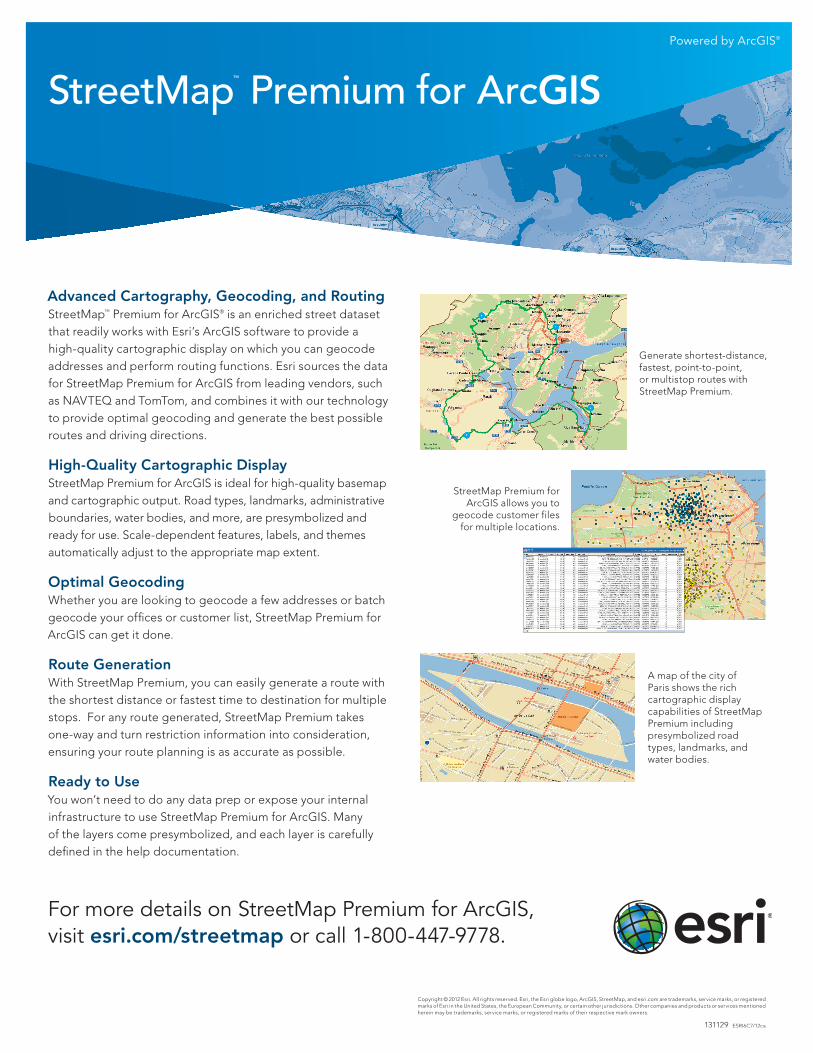
StreetMap Premium for ArcGIS allows you to
geocode customer files for multiple locations.
Generate shortest-distance, fastest, point-to-point, or multistop routes with StreetMap Premium.
A map of the city of Paris shows the rich cartographic display capabilities of StreetMap Premium including presymbolized road types, landmarks, and water bodies.