stdm concepts and rationale - fig · stdm concepts and rationale social tenure domain model...
TRANSCRIPT

STDM Concepts and Rationale
Social Tenure Domain Model Development Innovations
(FIG YSN & UN-Habitat GLTN)
Helsinki – Finland
May, 31st 2017
Christiaan Lemmen

Rationale
• large portions of land remain untitled in developing countries
• less than 30% of cadastral coverage conforming to the situation on the ground
• where there is little land information, there is little land management
• conventional land information systems cannot adequately serve areas that do
not conform to the land parcel approach applied in the developed world
• a more flexible system is needed for identifying the various kinds of land tenure
in informal settlements
• this system has to be based on a global standard and has to be manageable by
the local community itself
• enter the social tenure domain model


Mashimoni No. 10 (Nairobi)
• Mashimoni No. 10 (Nairobi) has been
identified as a potential beneficiary for
tenure regularization under KISIP
• The Mnazi Moja residents are facing
eviction threats from private developers
• Both communities used the data captured
in STDM to advocate for their tenure rights


A community driven land Information
System in Mashimoni

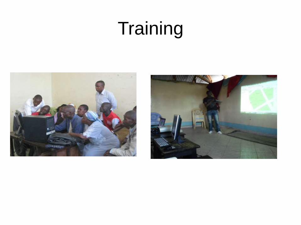
Training

Community Resource Centres

Data Collection

Continuous updating of the data
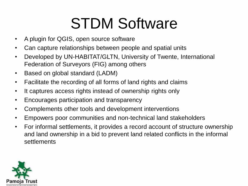
STDM Software
• A plugin for QGIS, open source software
• Can capture relationships between people and spatial units
• Developed by UN-HABITAT/GLTN, University of Twente, International
Federation of Surveyors (FIG) among others
• Based on global standard (LADM)
• Facilitate the recording of all forms of land rights and claims
• It captures access rights instead of ownership rights only
• Encourages participation and transparency
• Complements other tools and development interventions
• Empowers poor communities and non-technical land stakeholders
• For informal settlements, it provides a record account of structure ownership
and land ownership in a bid to prevent land related conflicts in the informal
settlements

Achievements
• Communities embraced STDM and appreciated to have a digital data base
• STDM able to capture social tenure relationships in slum settlements
• Has facilitated securing of women/widows rights to land
• Helped in resettling community members in cases of fire outbreaks
• Community able to update and manage their data in the STDM framework and to
train members from other communities
• Communities used the information in the data base for land tenure negotiation
• Village leaders use the generated STDM report for their work
• Community members got to know each other better
• Many land sector stakeholders acknowledged STDMs capacity of capturing tenure
situations in informal settlements
• Mombasa County Government carried out resettlement exercise in STDM framework
• NLC planning for STDM workshop

Conclusions by the users
• STDM is able to capture the complex tenure situations of informal settlements among
others
• STDM is “fit for purpose”. It can be customized to meet various needs, e.g.
resettlement, planning for service delivery or census of residents
• The STDM approach is easier, faster and more flexible than conventional surveying
methods
• Sensitization of communities on the ground is crucial to make them understand and
appreciate the STDM approach
• Participation of the community in data collection, verification and management is
crucial for the quality of data and implementation of further plans based on the data
• Regular data verifications and updates are important
• Success and acceptance of STDM depend on political/ administrative goodwill and
appreciation of community

Smart Surveyors for Land and Water Management