promoting gis in the workplace with minimal training funds susan cohn ky division of water ky gis...
TRANSCRIPT

Promoting GIS in Promoting GIS in the Workplace with the Workplace with
Minimal Training Minimal Training FundsFundsSusan CohnSusan Cohn
KY Division of WaterKY Division of WaterKY GIS ConferenceKY GIS Conference
September 27, 2012September 27, 2012

Purpose of This Purpose of This PresentationPresentation
ÔOutline practices in Division of WaterOutline practices in Division of WaterÔDiscuss ways to achieve GIS Discuss ways to achieve GIS
competency in the workplacecompetency in the workplaceÔShare ideas of how to promote GIS in Share ideas of how to promote GIS in
our programs, agenciesour programs, agencies
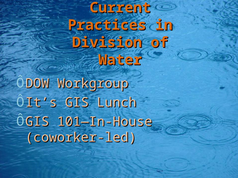
Current Practices Current Practices in Division of in Division of
WaterWater
ÔDOW WorkgroupDOW WorkgroupÔIt’s GIS LunchIt’s GIS LunchÔGIS 101—In-House (coworker-GIS 101—In-House (coworker-
led) led)
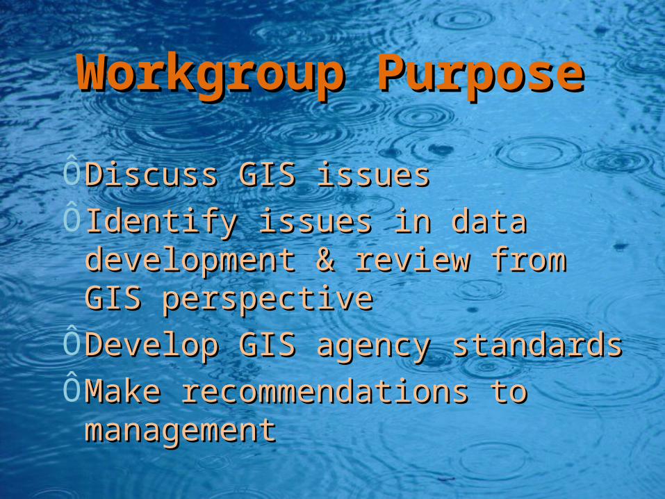
Workgroup Workgroup PurposePurpose
ÔDiscuss GIS issues Discuss GIS issues ÔIdentify issues in data Identify issues in data
development & review from GIS development & review from GIS perspectiveperspective
ÔDevelop GIS agency standardsDevelop GIS agency standardsÔMake recommendations to Make recommendations to
managementmanagement

Workgroup Workgroup ScheduleSchedule
ÔMeet bi-monthlyMeet bi-monthlyÔMeet additionally if project Meet additionally if project
dictatesdictates
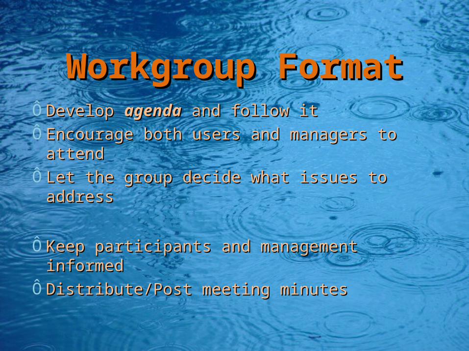
Workgroup FormatWorkgroup FormatÔDevelop Develop agendaagenda and follow it and follow itÔEncourage both users and managers to Encourage both users and managers to
attendattendÔLet the group decide what issues to addressLet the group decide what issues to address
ÔKeep participants and management Keep participants and management informedinformed
ÔDistribute/Post meeting minutesDistribute/Post meeting minutes

It’s GIS LunchIt’s GIS LunchÔPresentationsPresentations
ÔBasic themeBasic themeDemonstrate how they used Demonstrate how they used GIS to accomplish a taskGIS to accomplish a task
Ô CoworkersCoworkers Ô NGOsNGOsÔ Other Other AgenciesAgencies
Ô ConsultantsConsultants
Ô University University Staff Staff and and facultyfaculty

DOW DOW Launched EEC Launched EEC
WorkgroupWorkgroupÔEnergy and Environment Cabinet Energy and Environment Cabinet
GroupGroupÔQuality Assurance & StandardsQuality Assurance & StandardsÔApplication and DevelopmentApplication and Development
ÔAnnual GIS Open HouseAnnual GIS Open House

EEC GIS Open HouseEEC GIS Open House
Ô Formal introduction and keynote Formal introduction and keynote presentationspresentationsÔ Stations with different GIS tools and Stations with different GIS tools and presentationspresentations

In-house TrainingIn-house TrainingGeneral General ÔIntroduce GIS concepts Introduce GIS concepts ÔDemonstrate GIS accessibility in Demonstrate GIS accessibility in
DOW DOW ÔPresent water-related informationPresent water-related information
Specific TopicsSpecific TopicsÔAddress many relevant functions Address many relevant functions
available through specific toolsavailable through specific tools


Training Components of Training Components of GIS 101GIS 101
ÔWho to contact for server accountWho to contact for server accountÔHow to log onto Remote Desktop How to log onto Remote Desktop
ConnectionConnectionÔBasics of Toolbars and ProjectionsBasics of Toolbars and ProjectionsÔHow to set up workspace How to set up workspace ÔWhere to save projectsWhere to save projectsÔHow to add layersHow to add layersÔDifferent uses for point, line or polygon Different uses for point, line or polygon
layerslayers

……GIS 101 Continued…GIS 101 Continued…
ÔTable of Contents and how layers loadTable of Contents and how layers loadÔWhat is an Attribute TableWhat is an Attribute TableÔZoom To featuresZoom To featuresÔIdentify Tool/Latitude and LongitudeIdentify Tool/Latitude and LongitudeÔLabeling Labeling ÔMap Layout View versus Data ViewMap Layout View versus Data ViewÔCartographic Standards and Making a Cartographic Standards and Making a
MapMap
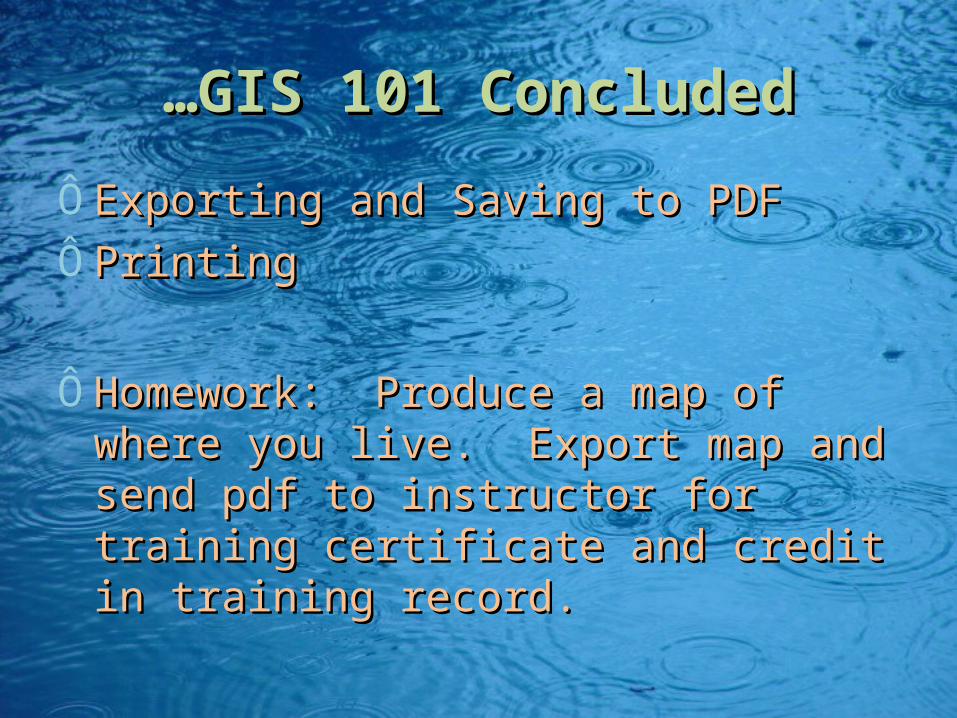
……GIS 101 ConcludedGIS 101 Concluded
ÔExporting and Saving to PDFExporting and Saving to PDFÔPrinting Printing
ÔHomework: Produce a map of where Homework: Produce a map of where you live. Export map and send pdf to you live. Export map and send pdf to instructor for training certificate and instructor for training certificate and credit in training record.credit in training record.

Training CertificateTraining Certificate
Did the class meet your expectations?
02468
1012141618
1 (
no
t at
all)
3
5 (
mu
chm
ore
tha
ne
xpe
cte
d)
Fre
qu
en
cy
1 (not at all)
2
3
4
5 (much morethan expected)
Was the information clear and understandable?
0
2
4
6
8
10
12
14
16
18
20
1 (n
ot a
t all) 2 3 4
5 (m
uch
mor
e th
anex
pect
ed)
Fre
quen
cy
1 (not at all)
1.5
2
2.5
3
3.5
4
4.5
5 (much morethan expected)
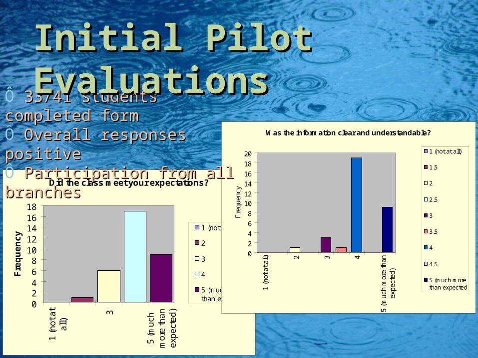
Ô 33/41 students completed 33/41 students completed formformÔ Overall responses positiveOverall responses positiveÔ Participation from all Participation from all branchesbranches
Initial Pilot EvaluationsInitial Pilot Evaluations

Overall Rating
0
2
4
6
8
10
12
14
16
1 (
Po
or)
1.5 2
2.5 3
3.5 4
4.5
5 (
Exc
elle
nt)
Fre
qu
en
cy
1 (Poor)
1.5
2
2.5
3
3.5
4
4.5
5 (Excellent)
Would you recommend GIS 101 for other staff?
0
5
10
15
20
25
30
35
No Did notanswer
Yes
Fre
qu
en
cy
No
Did not answer
Yes
32% of DOW staff 32% of DOW staff had attended had attended trainingtraining
After first year of GIS After first year of GIS 101 101

Measures of Success Measures of Success (2009)(2009)
ÔParticipation strong across Participation strong across branches branches
ÔStaff trained internally, Staff trained internally, estimated savings to DOW: estimated savings to DOW: $16,000 (67 staff X $250 fee).$16,000 (67 staff X $250 fee).
ÔEvaluations Evaluations Overwhelmingly Overwhelmingly positive!positive!
ÔBranch Managers’ recognizing of Branch Managers’ recognizing of the importance of GIS proficiencythe importance of GIS proficiency

““Command Command Performances”Performances”
ÔContinued to offer classesContinued to offer classesÔDeveloped GIS 201 Developed GIS 201
Ô editing, labeling, spatial joins editing, labeling, spatial joins
ÔConverted GIS 101 into a Self-Converted GIS 101 into a Self-Study course for new hires Study course for new hires ÔRecently updated for ArcMap 10Recently updated for ArcMap 10

Ways to Promote GISWays to Promote GIS
ÔEstablish Workgroups Establish Workgroups Ôdivision, department, intra-agencydivision, department, intra-agency
ÔDevelop/Host Presentations Develop/Host Presentations Ôfor Management and Coworkersfor Management and Coworkers
ÔCreate tailored TrainingsCreate tailored TrainingsÔNetworkingNetworking
Ô With other divisions, departments, With other divisions, departments, agencies and organizationsagencies and organizations

Results of Workgroup Results of Workgroup ApproachApproach
ÔSmoother transitions with ESRI upgrades Smoother transitions with ESRI upgrades ÔBetter coordination among divisionsBetter coordination among divisionsÔBetter understanding of data applications Better understanding of data applications
and limitations between agenciesand limitations between agenciesÔEmpowering employees to use available Empowering employees to use available
tools tools

NetworkingNetworking
ÔFormed a cabinet-wide workgroup to Formed a cabinet-wide workgroup to strengthen data-sharing and skills strengthen data-sharing and skills developmentdevelopment
ÔParticipation in KAMP quarterly Participation in KAMP quarterly meetings and annual meetingmeetings and annual meeting
ÔDiscover other resources Discover other resources Ôgovernment agenciesgovernment agenciesÔuniversities universities Ôlocal governmentslocal governments

Future Ways to Future Ways to Promote GISPromote GIS
ÔDo YOU have ideas to help Do YOU have ideas to help DOW?DOW?ÔPresentationsPresentationsÔWorkgroup DevelopmentWorkgroup DevelopmentÔAdditional in-house trainingAdditional in-house training

The The EndEnd