problem solving - tweed sand bypass€¦ · blank for a3 map an ambitious project tweed sand...
TRANSCRIPT
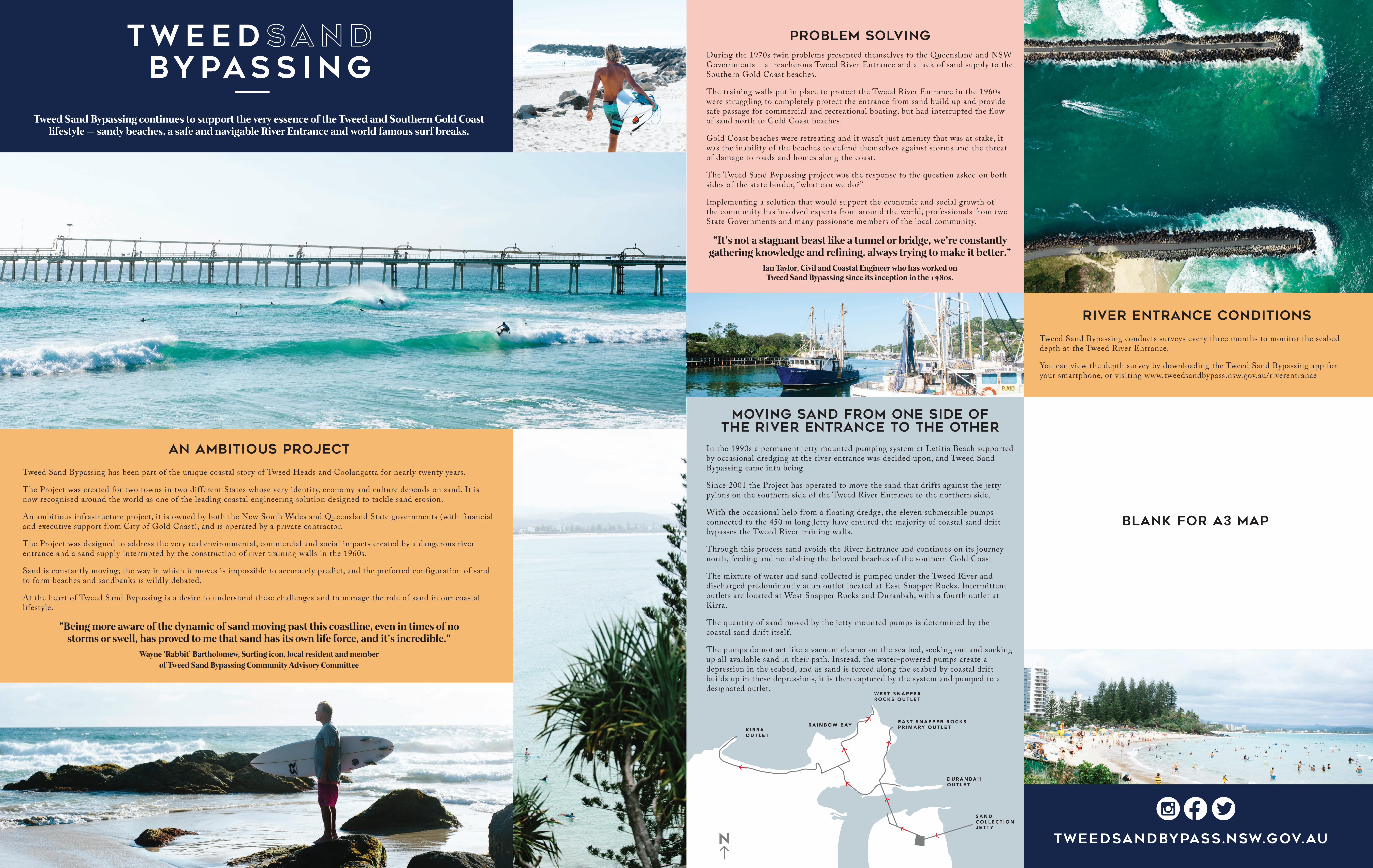
blank for A3 MAP
An ambitious project
Tweed Sand Bypassing has been part of the unique coastal story of Tweed Heads and Coolangatta for nearly twenty years.
The Project was created for two towns in two different States whose very identity, economy and culture depends on sand. It is now recognised around the world as one of the leading coastal engineering solution designed to tackle sand erosion.
An ambitious infrastructure project, it is owned by both the New South Wales and Queensland State governments (with financial and executive support from City of Gold Coast), and is operated by a private contractor.
The Project was designed to address the very real environmental, commercial and social impacts created by a dangerous river entrance and a sand supply interrupted by the construction of river training walls in the 1960s.
Sand is constantly moving; the way in which it moves is impossible to accurately predict, and the preferred configuration of sand to form beaches and sandbanks is wildly debated.
At the heart of Tweed Sand Bypassing is a desire to understand these challenges and to manage the role of sand in our coastal lifestyle.
“Being more aware of the dynamic of sand moving past this coastline, even in times of no storms or swell, has proved to me that sand has its own life force, and it’s incredible.”
Wayne ‘Rabbit’ Bartholomew, Surfing icon, local resident and member of Tweed Sand Bypassing Community Advisory Committee
River Entrance conditions
Tweed Sand Bypassing conducts surveys every three months to monitor the seabed depth at the Tweed River Entrance.
You can view the depth survey by downloading the Tweed Sand Bypassing app for your smartphone, or visiting www.tweedsandbypass.nsw.gov.au/riverentrance
Problem solvingDuring the 1970s twin problems presented themselves to the Queensland and NSW Governments – a treacherous Tweed River Entrance and a lack of sand supply to the Southern Gold Coast beaches.
The training walls put in place to protect the Tweed River Entrance in the 1960s were struggling to completely protect the entrance from sand build up and provide safe passage for commercial and recreational boating, but had interrupted the flow of sand north to Gold Coast beaches.
Gold Coast beaches were retreating and it wasn’t just amenity that was at stake, it was the inability of the beaches to defend themselves against storms and the threat of damage to roads and homes along the coast.
The Tweed Sand Bypassing project was the response to the question asked on both sides of the state border, “what can we do?”
Implementing a solution that would support the economic and social growth of the community has involved experts from around the world, professionals from two State Governments and many passionate members of the local community.
“It’s not a stagnant beast like a tunnel or bridge, we’re constantly gathering knowledge and refining, always trying to make it better.”
Ian Taylor, Civil and Coastal Engineer who has worked on Tweed Sand Bypassing since its inception in the 1980s.
W E S T S N A P P E R R O C K S O U T L E T
K I R R A O U T L E T
E A S T S N A P P E R R O C K S P R I M A R Y O U T L E TR A I N B O W B AY
D U R A N B A H O U T L E T
S A N D C O L L E C T I O N J E T T Y
Moving sand from one side of the river entrance to the other
In the 1990s a permanent jetty mounted pumping system at Letitia Beach supported by occasional dredging at the river entrance was decided upon, and Tweed Sand Bypassing came into being.
Since 2001 the Project has operated to move the sand that drifts against the jetty pylons on the southern side of the Tweed River Entrance to the northern side.
With the occasional help from a floating dredge, the eleven submersible pumps connected to the 450 m long Jetty have ensured the majority of coastal sand drift bypasses the Tweed River training walls.
Through this process sand avoids the River Entrance and continues on its journey north, feeding and nourishing the beloved beaches of the southern Gold Coast.
The mixture of water and sand collected is pumped under the Tweed River and discharged predominantly at an outlet located at East Snapper Rocks. Intermittent outlets are located at West Snapper Rocks and Duranbah, with a fourth outlet at Kirra.
The quantity of sand moved by the jetty mounted pumps is determined by the coastal sand drift itself.
The pumps do not act like a vacuum cleaner on the sea bed, seeking out and sucking up all available sand in their path. Instead, the water-powered pumps create a depression in the seabed, and as sand is forced along the seabed by coastal drift builds up in these depressions, it is then captured by the system and pumped to a designated outlet.
Tweed Sand Bypassing continues to support the very essence of the Tweed and Southern Gold Coast lifestyle – sandy beaches, a safe and navigable River Entrance and world famous surf breaks.
tweedsandbypass.nsw.gov.au
You can also follow Tweed Sand Bypassing on Instagram @tweedsandbypassing for great images of our community and up to date project information.
The most beautiful classroom
Tweed Sand Bypassing has inspired similar systems all over the world. The jetty and surrounding area are regularly visited by coastal engineers who are keen to see if sand bypassing might offer a possible solution to the coastal erosion issues they are tackling in their own countries.
The Project provides a dynamic educational case study for secondary and tertiary students in geography, marine science and coastal engineering, and is also the primary case study in the chapter 'Marine Environments', of the recently published 'Geography for the Australian Curriculum 10'.
Students, or members of the public learning about the coastal environment can arrange visits to the jetty and pumping sites and access resource material in a Schools’ Information Package developed specifically by the Project.
You can access the fact sheets and resources from the Project website at www.tweedsandbypass.nsw.gov.au
Y E A R S O F O P E R A T I O N :
N U M B E R O F O S P R E Y S C U R R E N T L Y L I V I N G A T T H E J E T T Y :
J E T P U M P S : P R O J E C T S T A F F :
A V E R A G E N U M B E R O F B O A T S T H A T P A S S T H R O U G H T H E T W E E D R I V E R E N T R A N C E P E R Y E A R P R E - P R O J E C T ( < 1 9 9 5 )
L E N G T H O F T H E J E T T Y
A M O U N T O F S A N D P U M P E D : 8 . 5 M I L L I O N C U B I C M E T R E SA M O U N T O F S A N D D R E D G E D : 2 . 2 M I L L I O N C U B I C M E T R E S
A P P R O X I M A T ED I S T A N C E
T H EF I R S T
G R A I NO F
S A N DP U M P E D
T OS N A P P E R
R O C K SE A S T
H A ST R A V E L L E D
1 0 O S P R E Y C H I C K S H A V E H A T C H E D S I N C E T H E J E T T Y N E S T W A S B U I L T
O B J E C T S T H A T G E T S U C K E D U P T H E J E T P U M P S
F L I P P E R S 1 0 0 / Y E A R
S U R F B O A R D F I N S 1 0 0 / Y E A R
S U N G L A S S E S 6 0 / Y E A R
G O P R O C A M E R A S 4 / Y E A R
G O L F B A L L S 2 0 0 / Y E A R
, ,A V E R A G E N U M B E R O F B O A T S T H A T P A S S T H R O U G H T H E T W E E D R I V E R E N T R A N C E P E R Y E A R P O S T - P R O J E C T ( 1 9 9 6 - 2 0 1 6 )
km
M
Sand Supply, Snapper and the Superbank
On any given day, the regular supply of both pumped and natural sand ensures that Snapper is one of the most reliable and famous surf breaks in the country. But this has not always been the case.
Pre 1960s – free flowing
Before the Tweed River training walls were extended in 1962 sand flowed freely across the shallow Tweed bar, moving around Point Danger in large shoals. It was typical to find three very separate breaks – Snapper was fickle, Rainbow Bay was a longboard wave and Greenmount another longboard wave right on the rocks.
1960s to 1990s – obstacles and erosion
The effects of extending the Tweed River entrance walls in 1962 weren’t fully evident until five years later when the Gold Coast experienced several cyclones in short succession. The next 30 years saw an ongoing battle with erosion with seawalls built at Coolangatta and Kirra, groynes at both Kirra Point and Miles Street, and several large attempts at beach nourishment.
During this time Snapper had the occasional great surf break – but you could wait two years for it! Instead, during the 1970s, and particularly 1980s, with Kirra Point groyne and the severely eroded profile and nearshore reef, the real action was at Kirra.
Post 2001 – pumping
Tweed Sand Bypassing commenced in 2001, with the river of sand once again flowing from south of the Tweed River entrance and onto the Southern Gold Coast beaches. The Superbank was born out of sand pumped to the Snapper Rocks East outlet that was then shaped by waves and currents into a shore parallel beach bar extending from Snapper Rocks all the way through to Kirra.
The Superbank came along as nature’s response to a huge injection of sand after such a long period of low sand and changed how the area operated.
Today
The catch-up quantity of sand has been shifted north and Tweed Sand Bypassing only delivers the supply of sand that naturally builds up against the jetty at Letitia Beach. Sand delivered by the bypass combines with that delivered by the natural offshore drift to create a more natural fluctuating variance to feed beaches and protect the coastline from erosion.
tweedsandbypass.nsw.gov.au
Interested to know more?
You can find project information, operational data, historical images, environmental monitoring detail and more at www.tweedsandbypass.nsw.gov.au
Download the Tweed Sand Bypassing app on your smartphone for quick access to project information, including how much sand is being pumped and where to, real time wave and weather information and to view surf cams at Duranbah, Snapper and Rainbow Bay.
Greetings from where you’d rather be
on a Monday morning...Don’t forget you can get the freshest seafood straight off the trawlers in Tweed Heads Harbour. It ’s best to go in the morning, access via River/Terranora Terrace.
At the heart of Tweed Sand Bypassing is a desire to understand the challenges surrounding the complex way sand moves along our coastline and to enhance our coastal lifestyle.
Tweed Sand Bypassing continues to support the very essence of the Tweed and Southern Gold Coast lifestyle – sandy beaches, a safe and navigable River Entrance and world famous surf breaks.