gps: it’s elementary, my dear watson! lesliea palmer and amy kincaid shiloh elementary school...
TRANSCRIPT

GPS: It’s
Elementary, My Dear Watson!
Lesliea Palmer and Amy KincaidShiloh Elementary SchoolHume, Illinois
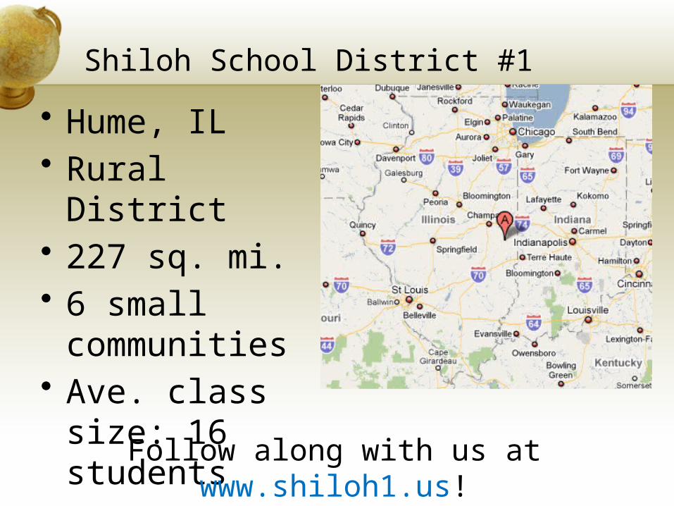
Shiloh School District #1
• Hume, IL• Rural District• 227 sq. mi.• 6 small
communities• Ave. class
size: 16 students
Follow along with us at www.shiloh1.us!

Enhancing Education Through Technology
• Also known as E2T2.• Technology grant funded through federal
technology monies for elementary classrooms.• Received over $350,000 for software, training, and
equipment.• Teachers trained over 400 hours in 3 years.• IL Tech classrooms• 8-10 student computers, teachers computer
station, color printer, document camera, scanner, student response system, SMARTboard with airliner, class set of digital cameras, flip camera, camcorder, handheld GPS, class set of jump drives, teacher laptop, teacher digital camera, etc….
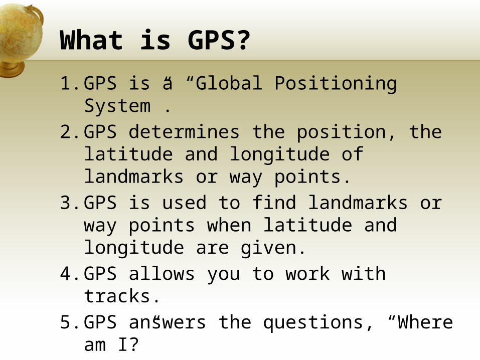
What is GPS?
1. GPS is a “Global Positioning System”.2. GPS determines the position, the
latitude and longitude of landmarks or way points.
3. GPS is used to find landmarks or way points when latitude and longitude are given.
4. GPS allows you to work with tracks. 5. GPS answers the questions, “Where am
I?”
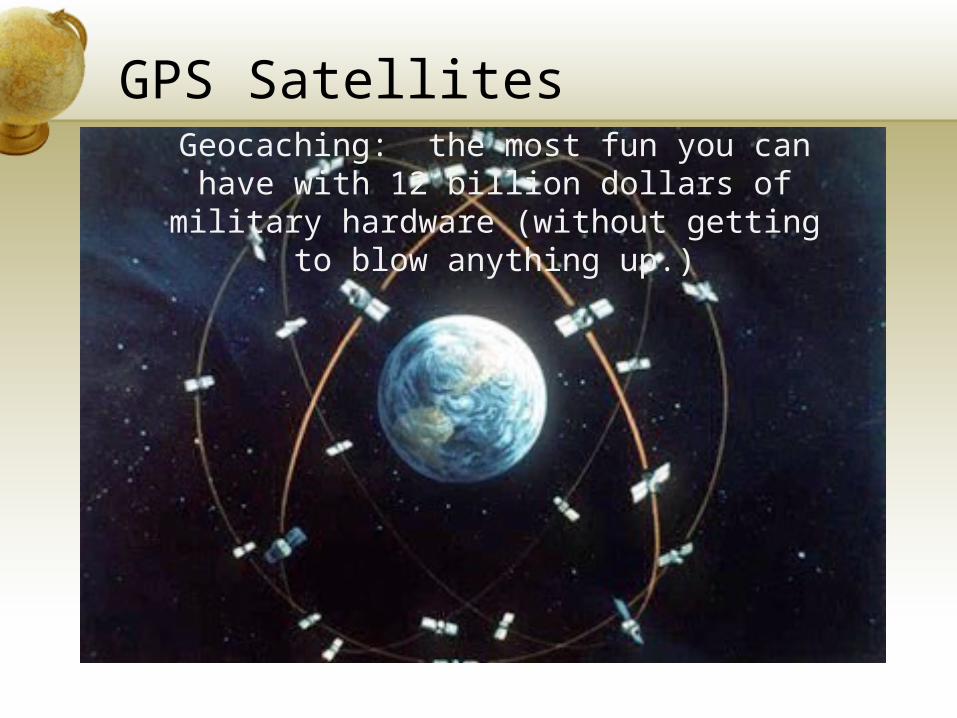
GPS SatellitesGeocaching: the most fun you can have with 12
billion dollars of military hardware (without getting to blow anything up.)
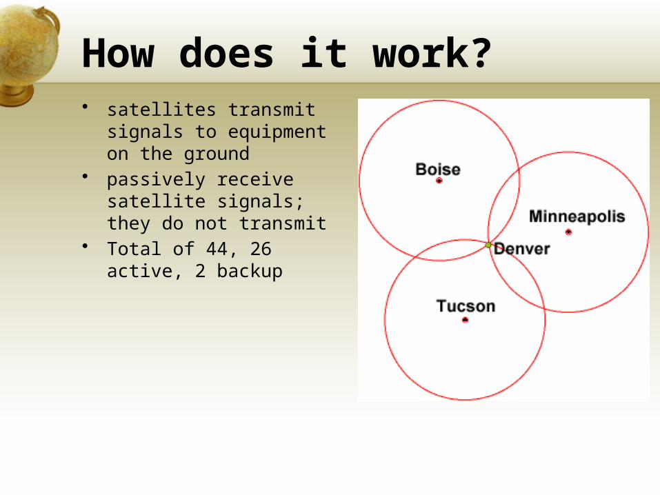
How does it work?• satellites transmit
signals to equipment on the ground
• passively receive satellite signals; they do not transmit
• Total of 44, 26 active, 2 backup
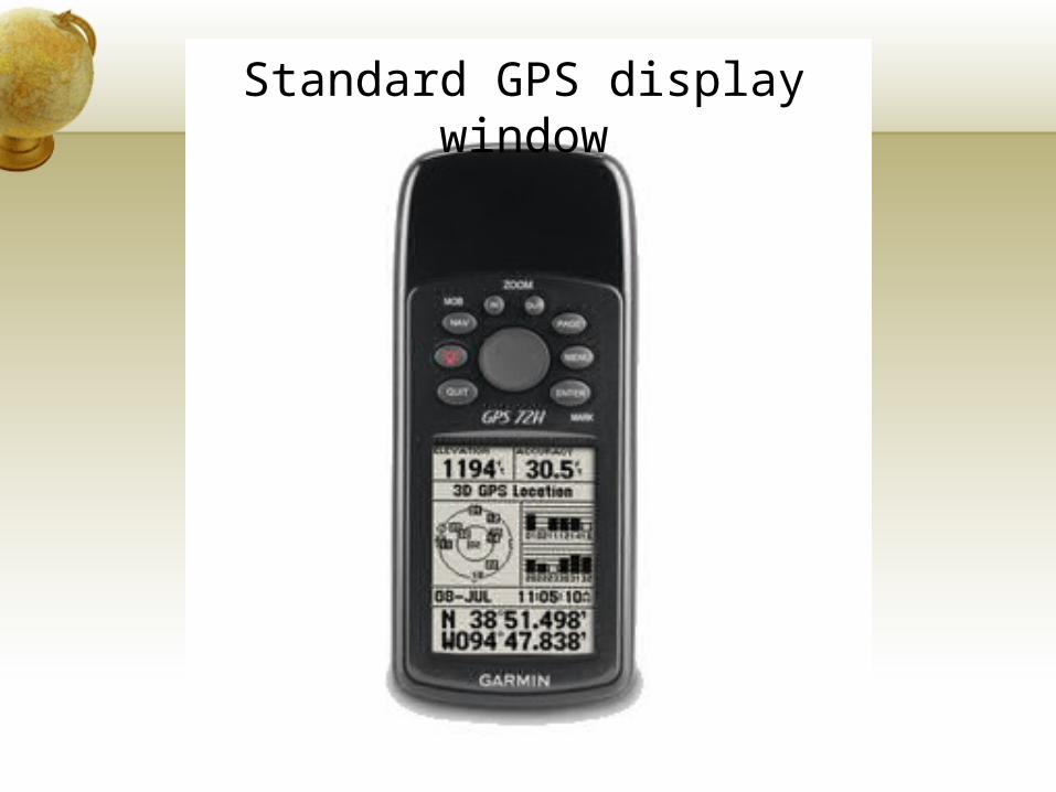
Standard GPS display window
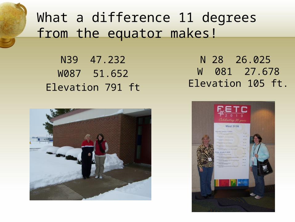
What a difference 11 degrees from the equator makes!
N39 47.232W087 51.652
Elevation 791 ft
N 28 26.025 W 081 27.678 Elevation 105 ft.
Why use GPS in school?
• To create meaningful learning activities for K-12 students.
• To integrate GPS technology into science, math, industrial arts, language arts and social studies.
• To provide problem-based learning with authentic assessment.
• To have students learn GPS and mapping skills so they will gain a set of highly desirable skills for the future employment in business, industry and government.
Do you want students to…• engage constantly in critical
thinking?• integrate knowledge from multiple
subjects?• build a rich grasp of global topics?• work on community-based
investigations?• employ the same advanced
technology currently used by business and government?
What Can GPS do?
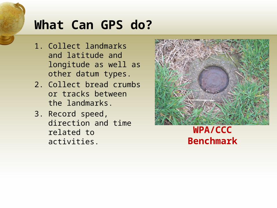
1. Collect landmarks and latitude and longitude as well as other datum types.
2. Collect bread crumbs or tracks between the landmarks.
3. Record speed, direction and time related to activities. WPA/CCC
Benchmark
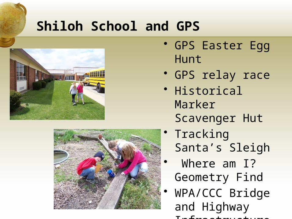
Shiloh School and GPS• GPS Easter Egg
Hunt• GPS relay race• Historical Marker
Scavenger Hut• Tracking Santa’s
Sleigh• Where am I?
Geometry Find• WPA/CCC Bridge
and Highway Infrastructure
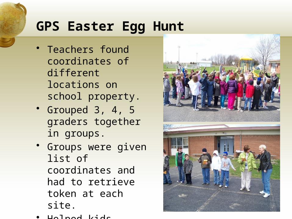
GPS Easter Egg Hunt
• Teachers found coordinates of different locations on school property.
• Grouped 3, 4, 5 graders together in groups.
• Groups were given list of coordinates and had to retrieve token at each site.
• Helped kids really understand latitude and longitude.
GPS Relay Race
• Each team of 5 students were given a group of coordinates
• First team member took GPS and found the first coordinate, took a token, returned to line.
• Next person went until all were finished*Important to stagger coordintates so they
aren’t going to the same place at once.
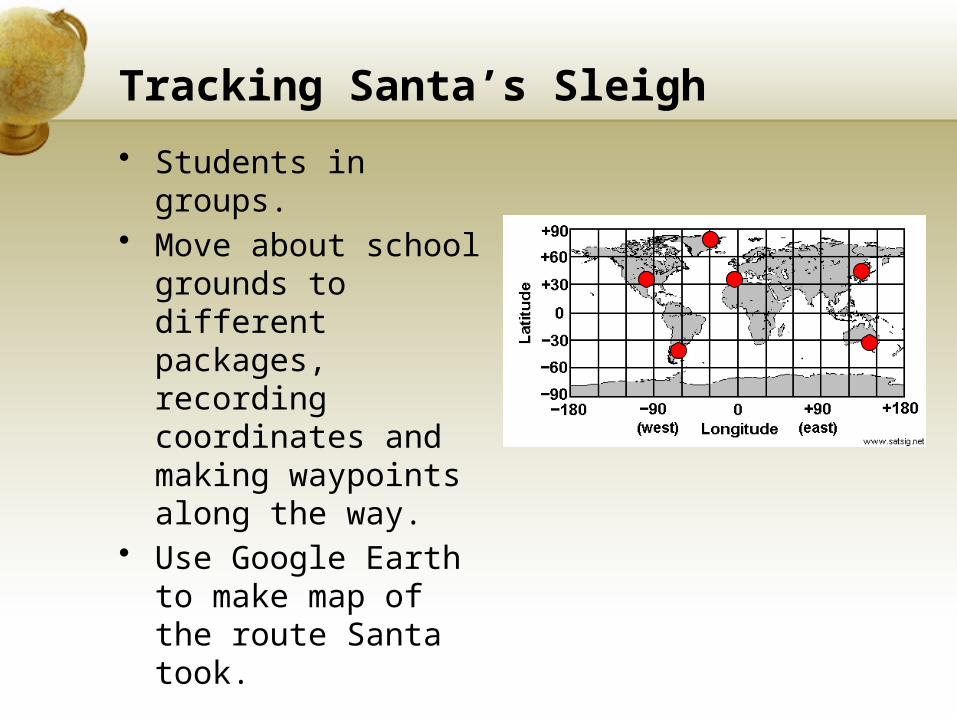
Tracking Santa’s Sleigh
• Students in groups.• Move about school
grounds to different packages, recording coordinates and making waypoints along the way.
• Use Google Earth to make map of the route Santa took.
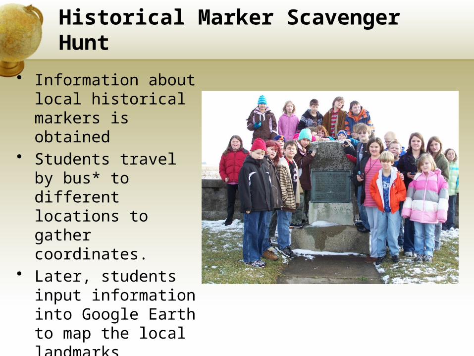
Historical Marker Scavenger Hunt
• Information about local historical markers is obtained
• Students travel by bus* to different locations to gather coordinates.
• Later, students input information into Google Earth to map the local landmarks
• History can also be tied in.
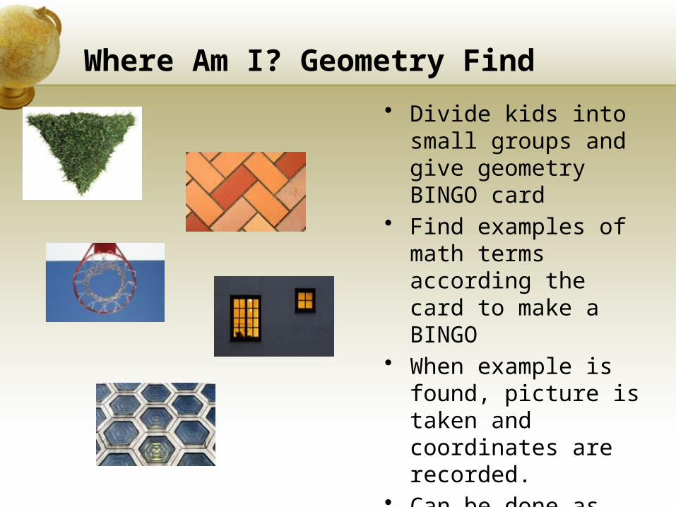
Where Am I? Geometry Find
• Divide kids into small groups and give geometry BINGO card
• Find examples of math terms according the card to make a BINGO
• When example is found, picture is taken and coordinates are recorded.
• Can be done as race, first to black out or multiple BINGO’s.
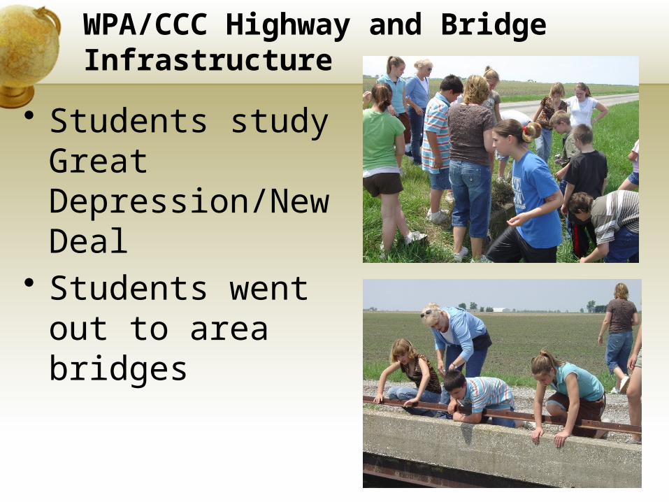
WPA/CCC Highway and Bridge Infrastructure
• Students study Great Depression/New Deal
• Students went out to area bridges

TIPS for successful GPS Activities
• Time is always short, so plan well
• The more they use GPS receivers, the easier it will be.
• Takes time, but it’s worth it.
• Always plan alternate activities in case of bad weather.
• Check and recheck coordinates—teacher error may occur.
• Volunteers are helpful!
• Walkie Talkies are handy, whistles too!
• Give concise instructions of what they are to do and hand in at the end.
• Remind students of sharing…3 person groups ideal.
• Review cardinal directions before starting!
• Give GPS receiver time to lock onto satelites…can take up to 5 minutes.
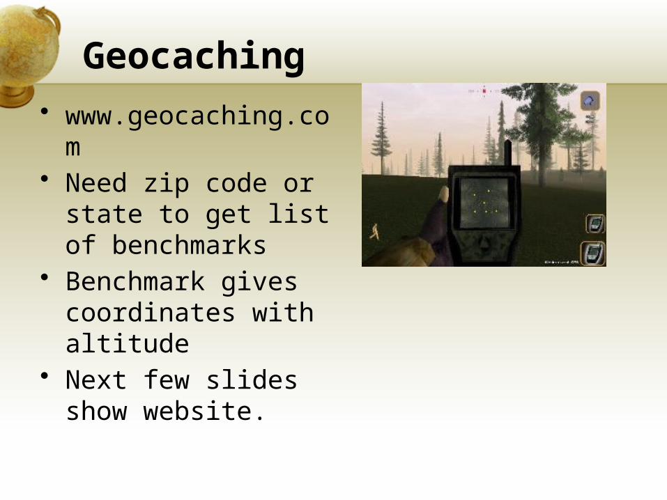
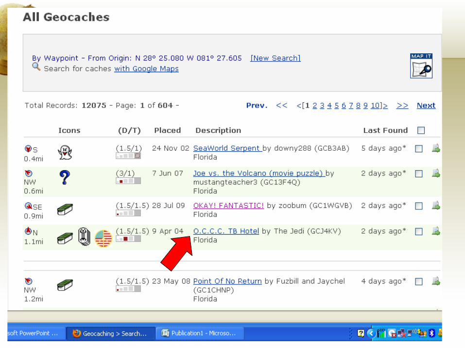
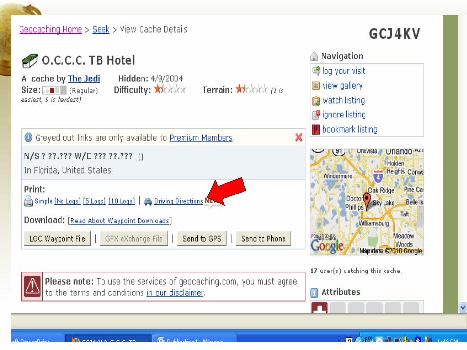
Geocaching • www.geocaching.co
m• Need zip code or
state to get list of benchmarks
• Benchmark gives coordinates with altitude
• Next few slides show website.
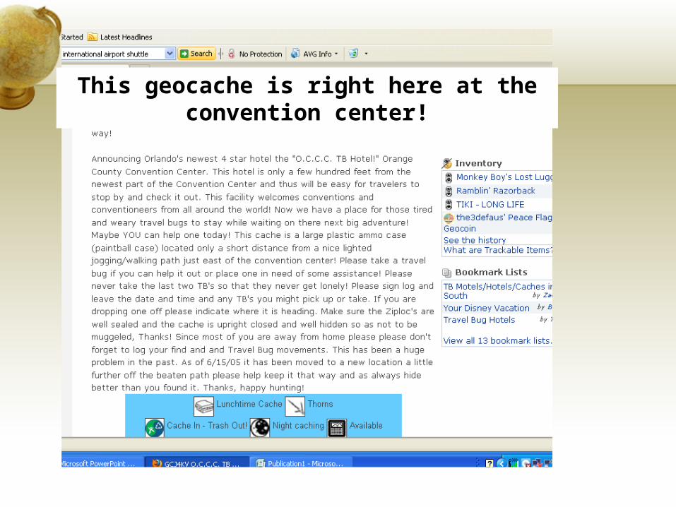
This geocache is right here at the convention center!
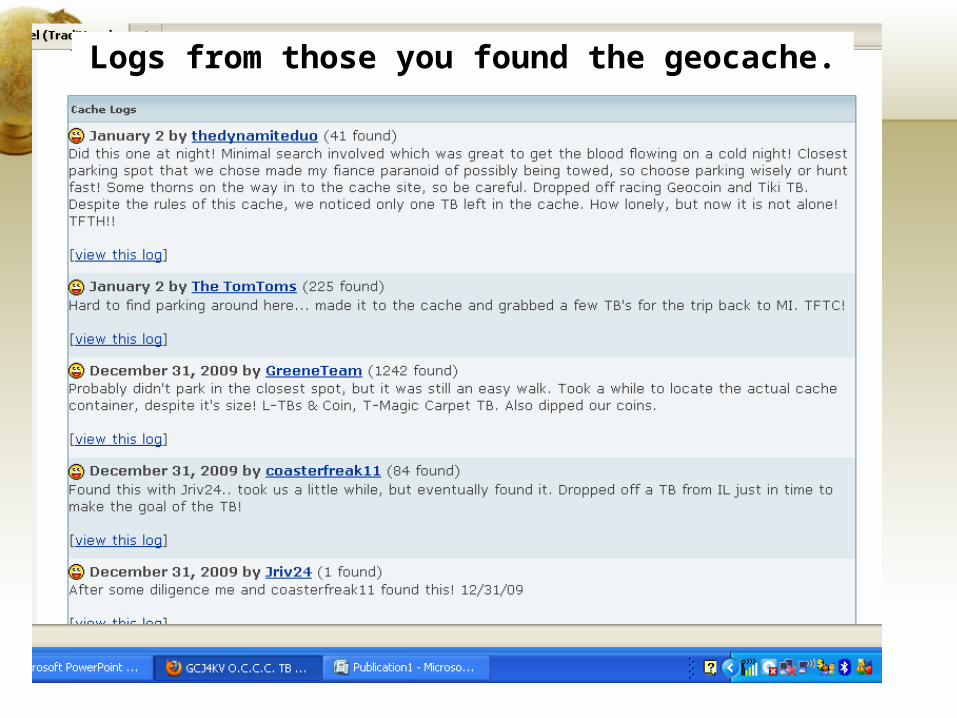
Logs from those you found the geocache.
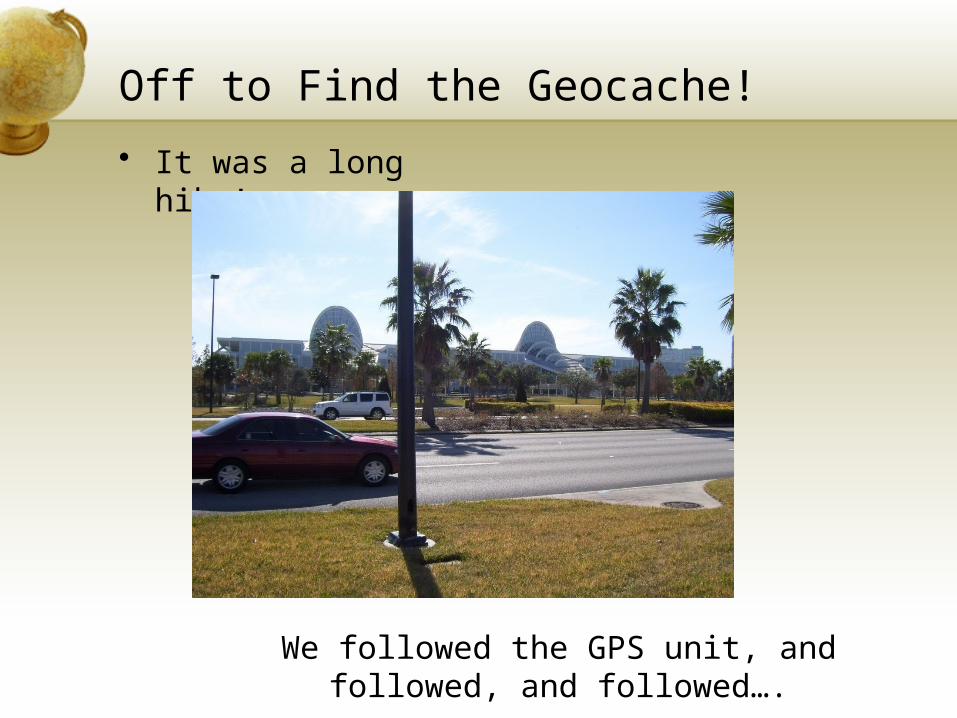
Off to Find the Geocache!
• It was a long hike!
We followed the GPS unit, and followed, and followed….
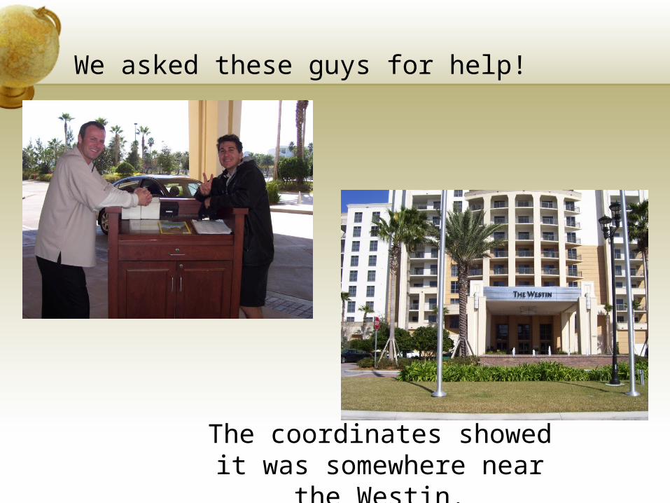
We asked these guys for help!
The coordinates showed it was somewhere near the
Westin.
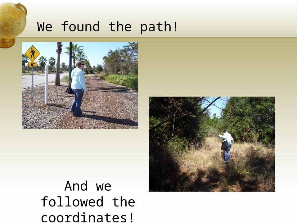
We found the path!
And we followed the coordinates!

This is what we found!
Yeah, there’s nothing there. Muggles must have moved it, which is something that can
happen when geocaches.
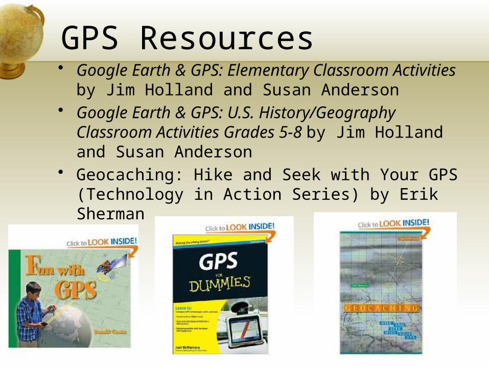
GPS Resources• Google Earth & GPS: Elementary Classroom
Activities by Jim Holland and Susan Anderson• Google Earth & GPS: U.S. History/Geography
Classroom Activities Grades 5-8 by Jim Holland and Susan Anderson
• Geocaching: Hike and Seek with Your GPS (Technology in Action Series) by Erik Sherman

Any Questions!