drone mapping on the cheap - harvard - cga … · drone mapping drones have proven useful for...
TRANSCRIPT
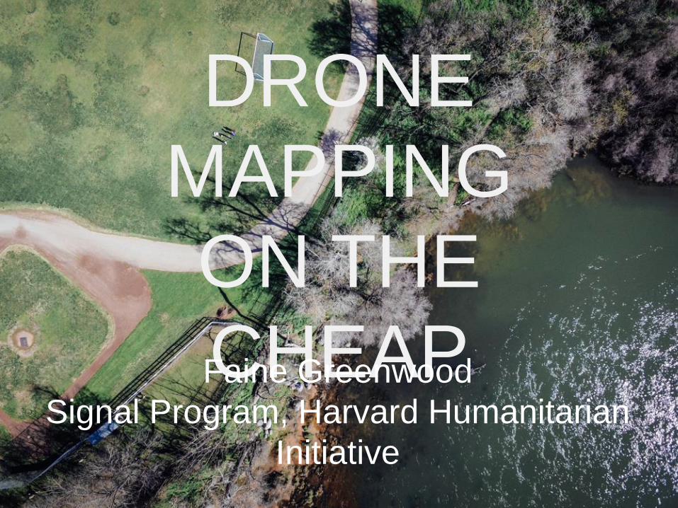
DRONE
MAPPING
ON THE
CHEAPFaine Greenwood
Signal Program, Harvard Humanitarian
Initiative
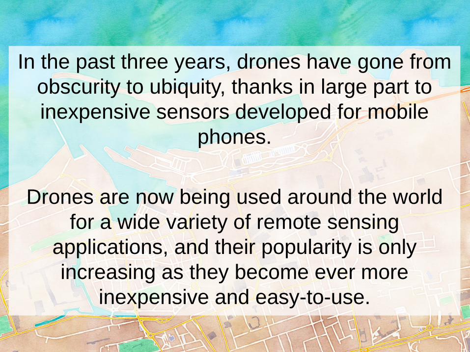
In the past three years, drones have gone from
obscurity to ubiquity, thanks in large part to
inexpensive sensors developed for mobile
phones.
Drones are now being used around the world
for a wide variety of remote sensing
applications, and their popularity is only
increasing as they become ever more
inexpensive and easy-to-use.
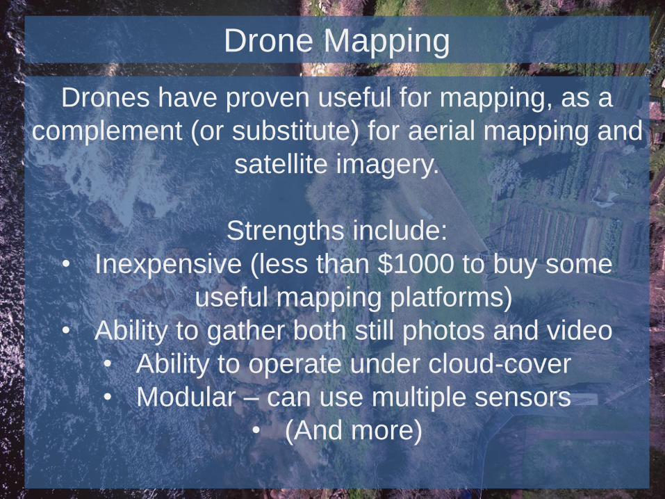
Drone Mapping
Drones have proven useful for mapping, as a
complement (or substitute) for aerial mapping and
satellite imagery.
Strengths include:
• Inexpensive (less than $1000 to buy some
useful mapping platforms)
• Ability to gather both still photos and video
• Ability to operate under cloud-cover
• Modular – can use multiple sensors
• (And more)
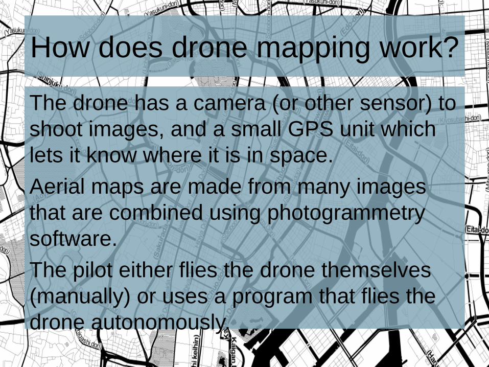
How does drone mapping work?
The drone has a camera (or other sensor) to
shoot images, and a small GPS unit which
lets it know where it is in space.
Aerial maps are made from many images
that are combined using photogrammetry
software.
The pilot either flies the drone themselves
(manually) or uses a program that flies the
drone autonomously.
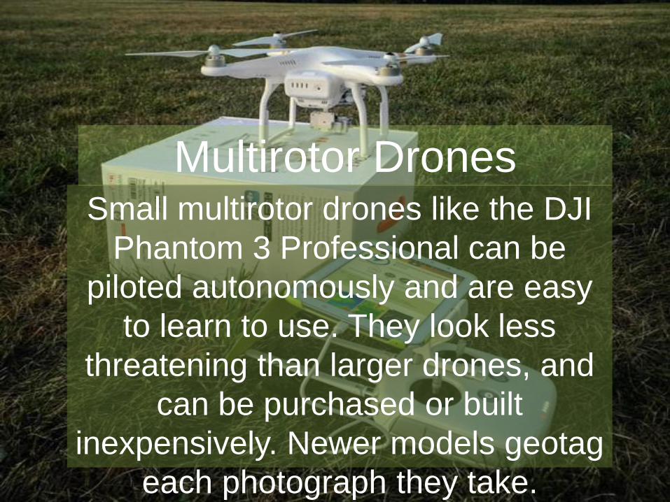
Small multirotor drones like the DJI
Phantom 3 Professional can be
piloted autonomously and are easy
to learn to use. They look less
threatening than larger drones, and
can be purchased or built
inexpensively. Newer models geotag
each photograph they take.
Multirotor Drones
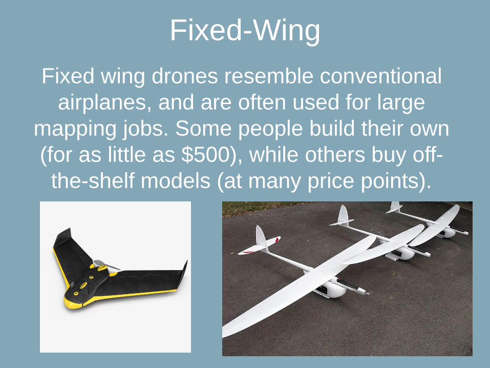
Fixed-Wing
Fixed wing drones resemble conventional
airplanes, and are often used for large
mapping jobs. Some people build their own
(for as little as $500), while others buy off-
the-shelf models (at many price points).
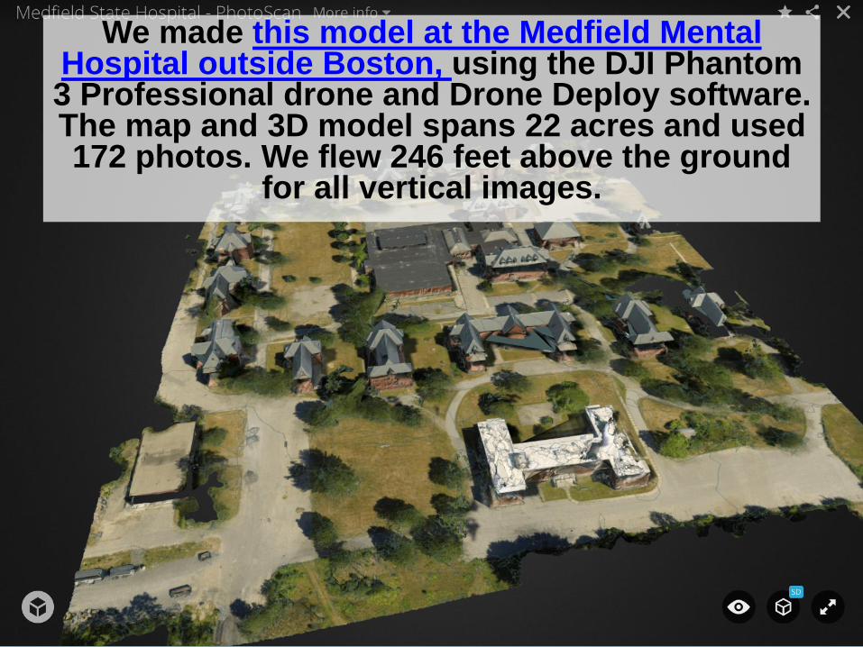
We made this model at the Medfield Mental Hospital outside Boston, using the DJI Phantom 3 Professional drone and Drone Deploy software. The map and 3D model spans 22 acres and used 172 photos. We flew 246 feet above the ground
for all vertical images.
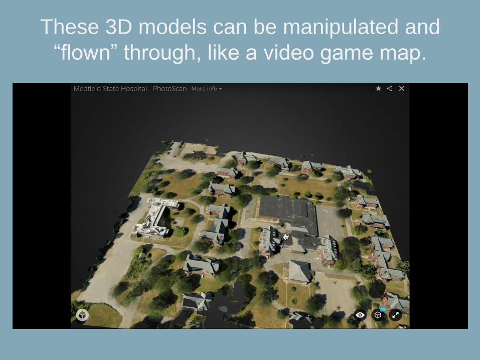
These 3D models can be manipulated and
“flown” through, like a video game map.
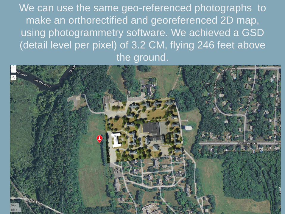
We can use the same geo-referenced photographs to
make an orthorectified and georeferenced 2D map,
using photogrammetry software. We achieved a GSD
(detail level per pixel) of 3.2 CM, flying 246 feet above
the ground.
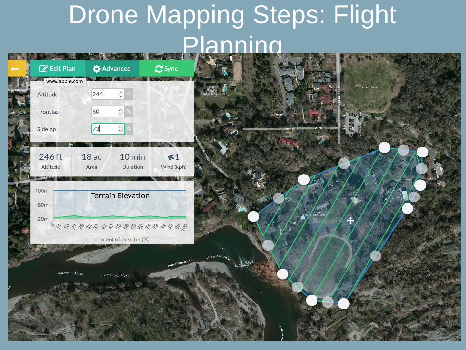
Drone Mapping Steps: Flight
Planning
Flight Paths/Resolution
• UAV flight paths need enough forward
and lateral photographic overlap, allowing
post-processing software to identify
common points in each image. (Software
does this for you now). 60% overlap is a
good minimum figure.
• Resolution in aerial photography is measured
as ground sampling distance (GSD)—the
length on the ground corresponding to the
side of one pixel in the image, or the distance
between pixel centers measured on the
ground (these are equivalent) – or, the level
of detail in each pixel. (This is also calculated
for you).
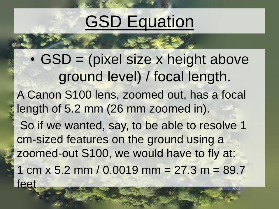
GSD Equation
• GSD = (pixel size x height above
ground level) / focal length.
A Canon S100 lens, zoomed out, has a focal
length of 5.2 mm (26 mm zoomed in).
So if we wanted, say, to be able to resolve 1
cm-sized features on the ground using a
zoomed-out S100, we would have to fly at:
1 cm x 5.2 mm / 0.0019 mm = 27.3 m = 89.7
feet
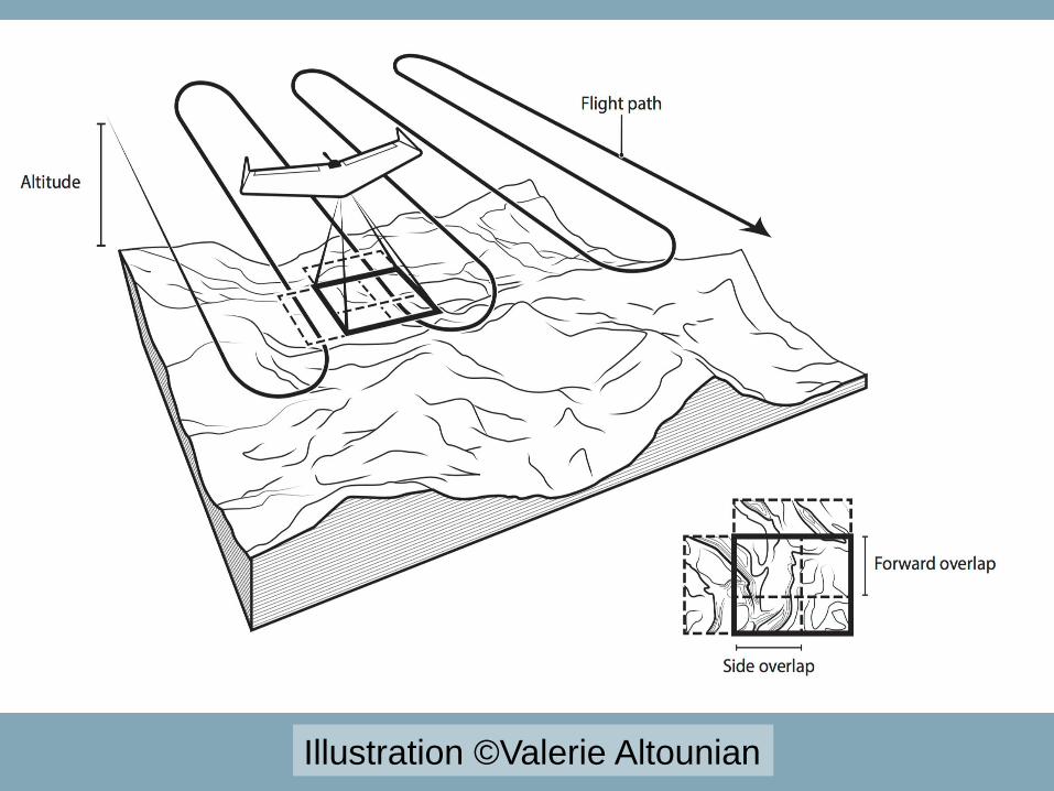
Illustration ©Valerie Altounian
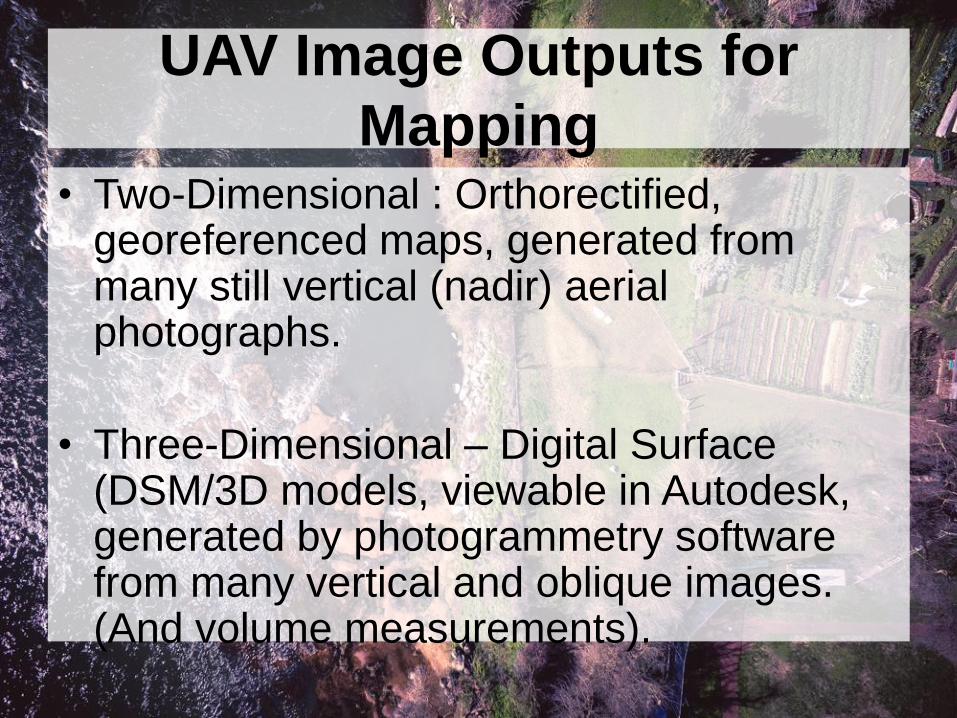
UAV Image Outputs for
Mapping• Two-Dimensional : Orthorectified,
georeferenced maps, generated from many still vertical (nadir) aerial photographs.
• Three-Dimensional – Digital Surface (DSM/3D models, viewable in Autodesk, generated by photogrammetry software from many vertical and oblique images. (And volume measurements).
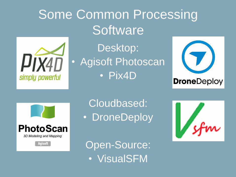
Some Common Processing
Software
Desktop:
• Agisoft Photoscan
• Pix4D
Cloudbased:
• DroneDeploy
Open-Source:
• VisualSFM
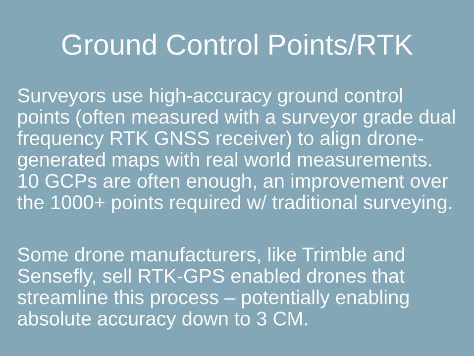
Ground Control Points/RTK
Surveyors use high-accuracy ground control points (often measured with a surveyor grade dual frequency RTK GNSS receiver) to align drone-generated maps with real world measurements. 10 GCPs are often enough, an improvement over the 1000+ points required w/ traditional surveying.
Some drone manufacturers, like Trimble and Sensefly, sell RTK-GPS enabled drones that streamline this process – potentially enabling absolute accuracy down to 3 CM.

Drones are being used for mapping work around the
world and in a variety of different professions.
Archeologists
• Miners
• Farmers
• Architects
• Construction Planners
• Wildlife Researchers
…..and many more.
A database is available at drones.newamerica.org.
Drone Mapping Uses: There’s
Lots!
Peru Archeological UAV
MappingIn March and April of 2015, I traveled to Peru
to observe the archeological drone mapping
work of the Peruvian Ministry of Culture.
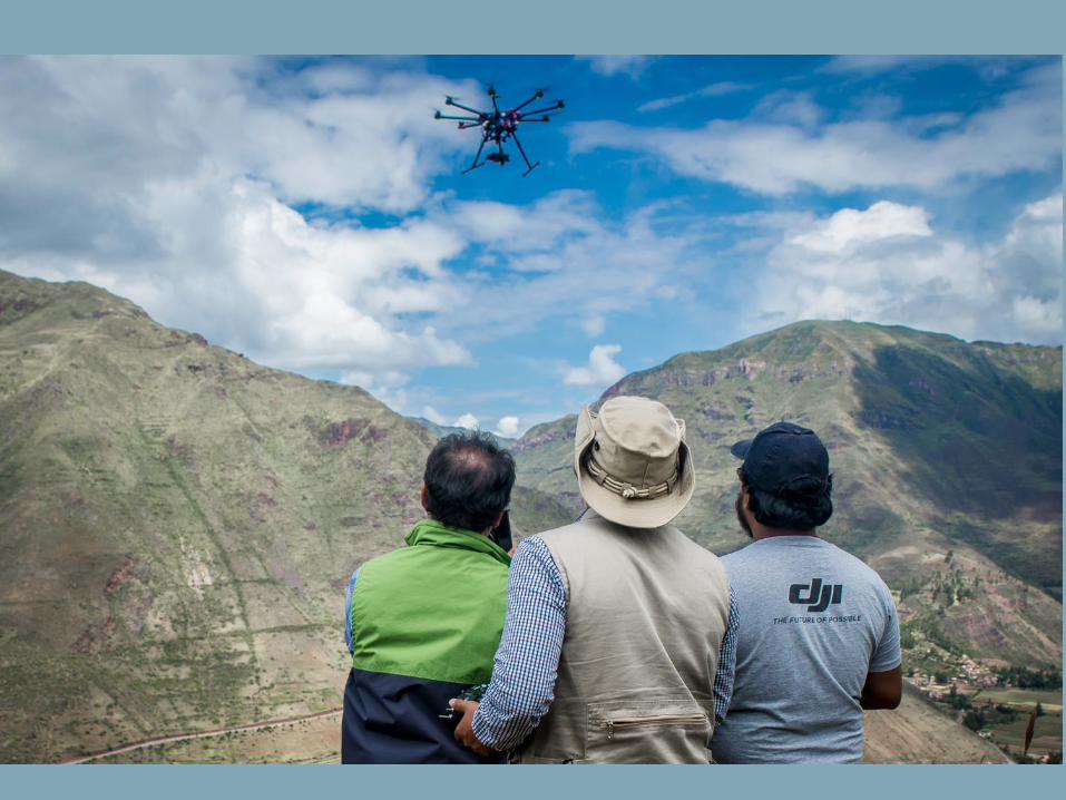
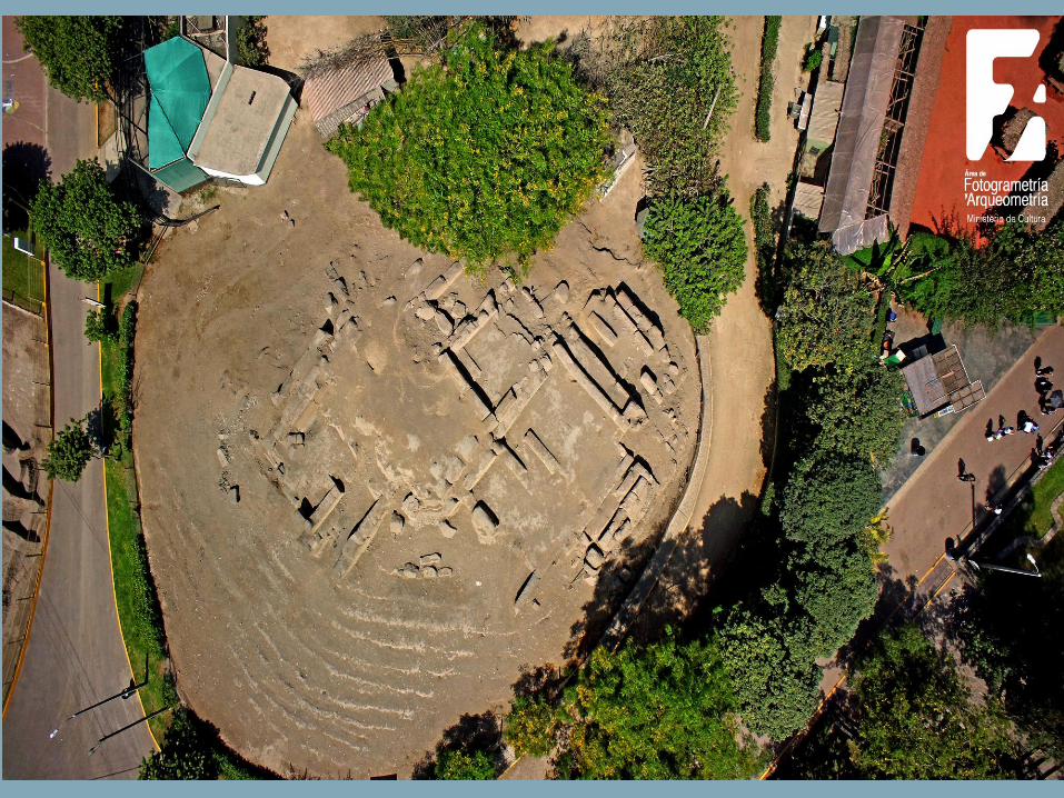
There, a government funded UAV program has
used drones to map hundreds of archeological
sites in both 2D and 3D. They use DJI
octocopter and hexacopter UAVs, and Agisoft
Photoscan photogrammetry software.
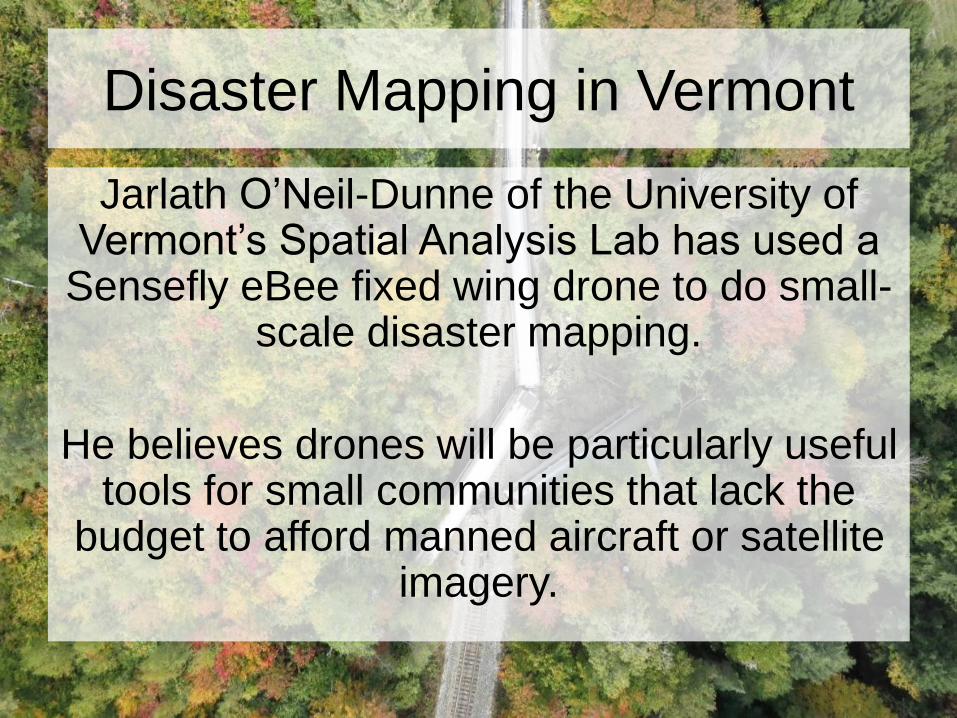
Disaster Mapping in Vermont
Jarlath O’Neil-Dunne of the University of Vermont’s Spatial Analysis Lab has used a
Sensefly eBee fixed wing drone to do small-scale disaster mapping.
He believes drones will be particularly useful tools for small communities that lack the
budget to afford manned aircraft or satellite imagery.
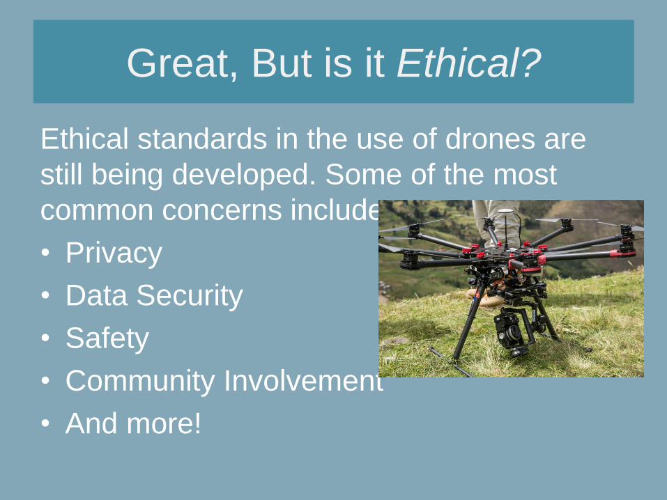
Great, But is it Ethical?
Ethical standards in the use of drones are
still being developed. Some of the most
common concerns include:
• Privacy
• Data Security
• Safety
• Community Involvement
• And more!
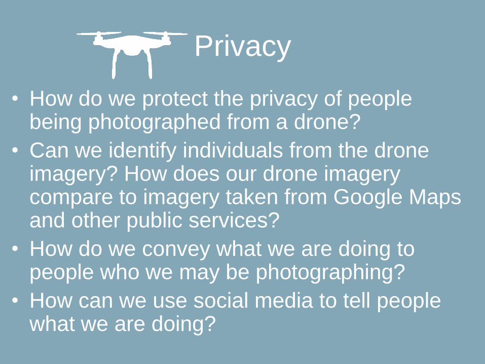
Privacy
• How do we protect the privacy of people being photographed from a drone?
• Can we identify individuals from the drone imagery? How does our drone imagery compare to imagery taken from Google Maps and other public services?
• How do we convey what we are doing to people who we may be photographing?
• How can we use social media to tell people what we are doing?
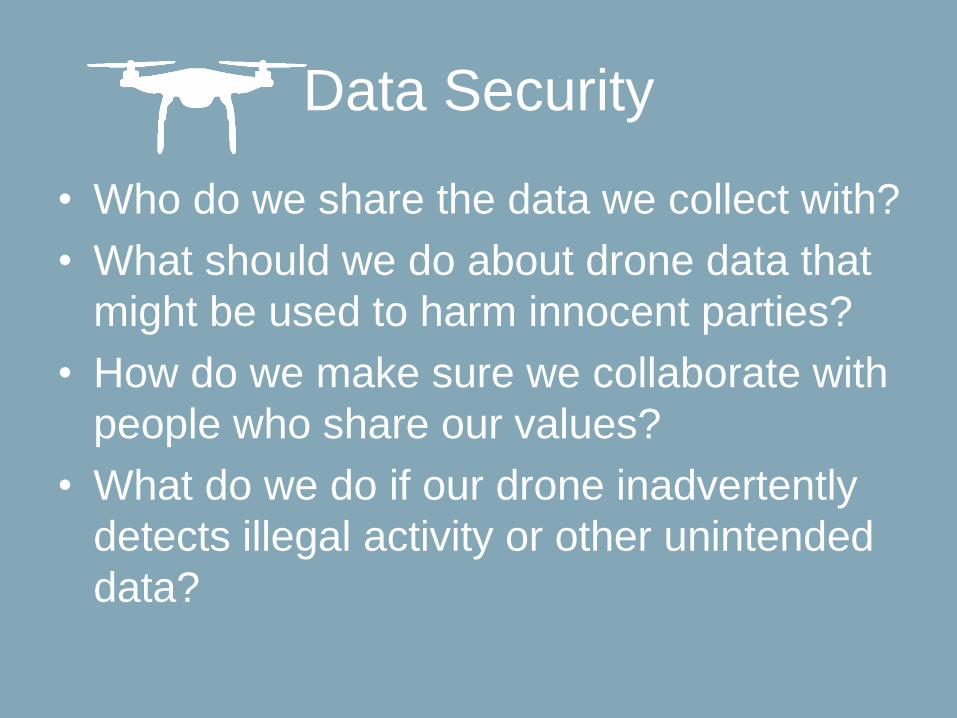
Data Security
• Who do we share the data we collect with?
• What should we do about drone data that
might be used to harm innocent parties?
• How do we make sure we collaborate with
people who share our values?
• What do we do if our drone inadvertently
detects illegal activity or other unintended
data?
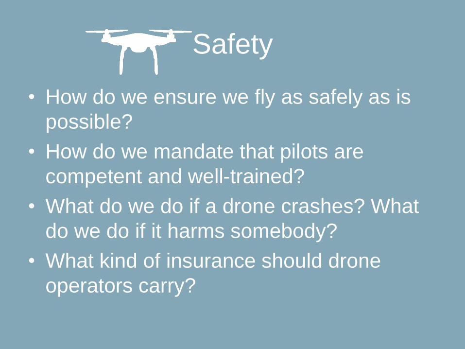
Safety
• How do we ensure we fly as safely as is
possible?
• How do we mandate that pilots are
competent and well-trained?
• What do we do if a drone crashes? What
do we do if it harms somebody?
• What kind of insurance should drone
operators carry?
Community Involvement
• How do we inform communities of what we are doing? How to involve them in the process?
• How do we convey what we’re doing to people in different cultures and in different languages?
• How do we work with communities to ensure we’re gathering data that they can use, and that they are comfortable with?
• Are we flying the drone because we want to, or because communities can use and benefit from the data we gather?
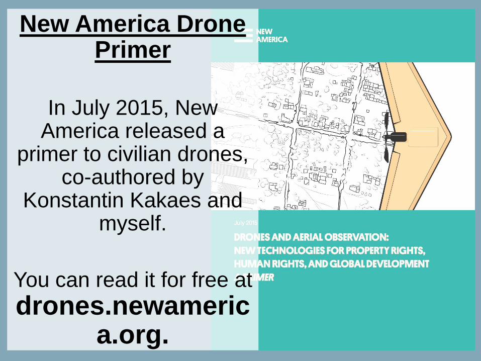
New America Drone Primer
In July 2015, New America released a
primer to civilian drones, co-authored by
Konstantin Kakaes and myself.
You can read it for free at
drones.newamerica.org.
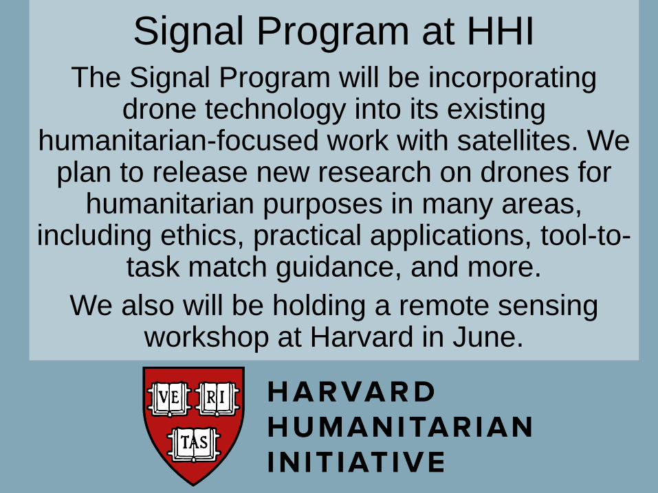
Signal Program at HHIThe Signal Program will be incorporating
drone technology into its existing humanitarian-focused work with satellites. We
plan to release new research on drones for humanitarian purposes in many areas,
including ethics, practical applications, tool-to-task match guidance, and more.
We also will be holding a remote sensing workshop at Harvard in June.
Any Questions?
I’m available to talk about drones and drone
mapping.
Get in touch with me at: