
Waterfront Activation Plan Waterfront Activation Plan
for the for the
Charlestown Navy YardCharlestown Navy Yard
Public MeetingPublic MeetingJanuary 20, 2005January 20, 2005
Community Partners Consultants, Inc.Community Partners Consultants, Inc.John Roll & AssociatesJohn Roll & Associates
Ross Miller StudioRoss Miller Studio

The Community Partners TeamThe Community Partners Team• Extensive experience in:
– Planning– Urban design– Cultural and economic
development– Signage– Public Art– Cultural programming– Organizational partnerships

The Community Partners Team
• Community Partners Consultants, Inc.– Adele Fleet Bacow – Principal-in-Charge– Susan Silberberg – Project Director– Annis Whitlow – Project Planner– Alice Martin – Project Planner
• John Roll & Associates– John Roll - Signage
• Ross Miller Studio– Ross Miller - Artist

Experience• Broad expertise in physical planning,
cultural development, programming, signage and public art
Worcester Arts District Master Plan (Community Partners Consultants)
University Park at MIT (Ross Miller Studio)
Freedom Trail (John Roll & Associates)

Experience• Completing FPA Study on Cultural,
Educational and Non-profit uses on the Boston waterfront (for BRA)

• Boston shoreline of 47 miles
• Former water-dependent and industrial uses
• Avoid privatization during redevelopment of obsolete parcels
• Ensure visual and physical public enjoyment
• Regulations regarding public uses in new development and Harborwalk
Project Context…

An Evolving Boston Waterfront• Statewide waterway regulations adopted by the DEP under the
authority of the Massachusetts General Laws, Chapter 91• Original goal to protect public navigation rights• Precedent in Roman and English Common Law: public right to
tidelands for basic needs (fishing, other commercial activity)• Shift from industrial era use of waterfront to residential/recreational
use• New uses precipitated guidelines revision in 1980s to protect
public’s rights to tidelands • Latest versions of the waterway regulations (ca. 1989) indicate that
filled tidelands are included in the regulatory jurisdiction. • Requirement of Harborwalk and Facilities of Public Accommodation
in new waterfront developments

What are FPA’s?• Recent waterway regulations introduced a requirement
that waterfront property owners construct a Harborwalk, preserve and create usable open space, and reserve ground floor space over filled tidelands for public use in non-water dependent developments. Spaces are known as Facilities of Public Accommodation (FPA)
• In 1990 Boston Harborpark Plan re-visioned and re-zoned waterfront in light of new regs and defined height limits at the water and set-back requirements. A 100-foot set-back or water-dependent use zone (WDUZ) was established.
• Special Public Destination Facilities (SPDFs) were also created…

What are SPDF’s?• Special Public Destination Facilities (SPDFs) created in
early 1990s
“FPAs that enhance the destination value of the waterfront by serving significant community needs, attracting a broad range of people, or providing innovative amenities for public use: such facilities may include cultural uses… in the choice of [SPDFs], special consideration shall be given to those which encourage diversity in the pattern of uses and population of users at the waterfront, and special efforts shall be made in the regard to solicit creative use concepts from the planning and advocacy community at-large: in the choice of facility operators, special consideration shall be given to public or non-profit organizations that otherwise would be unable to afford market rates for waterfront space…”1

Why is all of this relevant to Charlestown?
City-sponsored Municipal Harbor Plans tailor these regulations to the needs of each waterfront community while preserving public access and rights.
Waterfront almost 1.5 miles long with frontage of about 3 miles.
Shipyard Park less than 10 minute walk from Monument Square

Project Area…
Waterfront public ways and FPAs
Gateways and connections to waterfront

Scope of Work…Articulate project context and goals
•Review previous planning efforts•Analyze existing conditions
Compliance•Research licensing agreements on development parcels and compilesummary of commitments
Case study research: what are others doing?•Identify and research relevant projects and apply lessons
Listen to the community and other stakeholders•Meet with community in meetings and workshops•Interview organizations/groups
Develop waterfront network plan options and alternatives•Create a plan of existing and future destinations (interior and exterior)•Identify locations and opportunities for interpretation, public art, exhibits and signage
Create a waterfront activation plan for the CNY…

Our GoalPublic amenities and destinations
Improved access and gateways
Programming suggestions
Signage guidelines Interpretive opportunities
Phasing and temporary uses
Challenges to waterfront activation
Public art opportunities
Waterfront Activation Plan
Compliance with commitments

Our Goal: Multiple Audiences• The Charlestown Community: a place to walk the dog,
play, stroll along the waterfront and enjoy interpretive interactive exhibits for neighborhood residents. Ensure the waterfront is the “neighborhood’s waterfront.”
• Residents of the region: a place to go within an hour’s drive for 2-3 hours with the kids on a Saturday
• Tourist Destination: Freedom Trail and other destinations for out-of-town visitors

Starting from the Past…
An Activity CenterA bustling center of maritime industry, the Navy Yard was one of the most productive for the U.S. Navy:
• WWII totals: • 300 ships constructed• 2432 docked• 1100 outfitted• 3000+ repaired
• Productivity Innovations:• Die-lock Anchor Chain• Ship-building technique that allows ships to be built in halves (4 could be completed for simultaneous launch)

The Gritty Working Waterfront…
“There was a feeling of walking into a sort of grim, unbelievable world of old buildings, musty old smells, people hoary with age…” –David Himmelfarb, 1936

A Layered Past…
Threatened by closings in the 1880s, 1930s and 1960s, the Yard faced continual crisis and redefinition:
• 1880-1934: Focus on ship repair and manufacturing• 1890-1897: Manufacturing (primary manufacturer of anchors, chain, and cordage)• 1934-1945: Focus on ship building and manufacturing
It’s limited ability to expand resulted in frequent demolition and transformation of older structures whose use no longer held relevance to the Yard’s work.

From Past to Present…1800: Boston Navy Yard opens
1882: 1st Proposal to close Yard
1900-1914: Major expansion of buildings and wharves
1917-1919: WWI productivity increase, expansion to East Boston and South Boston
1926: Die-lock chain invented
1927: Salvage pontoon redesigned
1930-31: 2nd Proposal to close Yard
1934: Mandate changed from ship repair to destroyer construction

From Past to Present…1939-1945: WWII productivity increase (300 ships built)
1940s: Shipbuilding ways constructed
1940s: Home to the most important degaussing station in Boston area
1960s: Operations moved to South Boston Annex1972: Quality Assurance Office in Charlestown Yard produces strippable coating adopted by other Yards1973-1974: Full shut down of Boston Naval Shipyard Operations
1978: Yard acquired by Boston Redevelopment Authority and National Park Service

The Navy Yard Today…
• Ongoing metamorphosis from industrial maritime uses to residential, office, recreational and historical interpretation
• National Historic Park• Medical research, office and residential • Two marinas – Constitution Marina and
Shipyard Quarters Marina (2nd largest in City of Boston)
• Courageous Sailing • Limited retail, dining and public uses

An Analysis of Physical Access…

The Navy Yard Today…
• Piecemeal signage and interpretive experience
• Disconnect between National Historic Site and the rest of the Navy Yard
• Lack of clarity for the Harborwalk
• Weak network of public destinations

Existing Public Amenities and Destinations

The Existing Public Network…

The Existing Public Network…

1 mile
10 minute
walking radius
An Accessible Waterfront…

Planning Efforts in the Navy Yard …
• Navy Yard Master Plan (1975-78)• Harborpark Plan: City of Boston
Muncipal Harbor Plan (1990)• Double Interpretive Loop Plan (1991)• National Park Service Planning Efforts

Navy Yard Master Plan (1975-78)
• General Issues addressed:• 27 acres designated National Historic Site• BRA and EDIC commissioned comprehensive
land use planning in 1973 for remaining 103 acres
• Efforts to promote mfg reuse came up short –structures are too obsolete for modern industrial use
• Entire shipyard designated as an historic landmark on the National Register of Historic Places – new development to have consideration for protection of buildings and areas of value.

Navy Yard Master Plan Development Concept• Historic Preservation District (develop while
preserving) and New Development District (extensive demo and new construction of housing, hotel, park)

City of Boston Municipal Harbor Planning (1980’s)
• Beginning of waterfront planning to codify the following:• land use controls to ensure physical and
visual public access – zoning planning begun• Beginning of conceptual understanding of
Harborwalk

Harborpark Plan: City of Boston Municipal Harbor Plan (1990)
• General Issues addressed:• Public waterfront access for recreation,
economic activity, jobs, housing• Codify land use controls in zoning for
waterfront• Revitalize underutilized and dilapidated
shoreline• Activate waterfront• Create Harborwalk• Protect and enhance maritime industries

Harborpark Plan: City of Boston MuncipalHarbor Plan (1990)
• Charlestown Issues addressed:• Maximize public access to and activity along
waterfront while preserving original form and character
• Improve and expand open space• Development of preservation and reuse plan
as condition of transfer to BRA• Create open space network

Harborpark Plan: City of Boston MuncipalHarbor Plan (1990)
• Key Recommendations for Boston Waterfront:• Preserve 1/3 of waterfront for open space and recreation, tie
existing streets to large open spaces• Create Harborwalk• Provide new waterfront housing units• Re-establish water transportation• Encourage private investment with mixed uses, public benefits
and amenities• Encourage active public, cultural and water dependent uses
• For Charlestown:• Appropriate scale, connect to surrounding communities
(between Charlestown Gateway/Tudor Wharf and CNY, improve City Square)
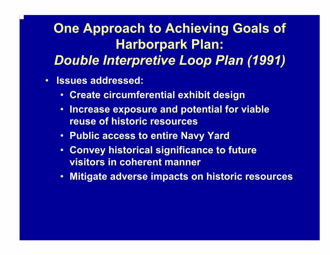
One Approach to Achieving Goals of Harborpark Plan:
Double Interpretive Loop Plan (1991)• Issues addressed:
• Create circumferential exhibit design• Increase exposure and potential for viable
reuse of historic resources• Public access to entire Navy Yard• Convey historical significance to future
visitors in coherent manner• Mitigate adverse impacts on historic resources

Double Interpretive Loop Plan (1991)
• Issues addressed:• Complement National Historical Park• Access to parking and alternative modes of
arrival• Create pedestrian system within Yard• Provide scope to achieve Loop Plan

Double Interpretive Loop Plan (1991)• Key Recommendations:
• Aquarium to relocate to Drydock 5• Create double interpretive loop between USS Constitution
and Aquarium through Navy Yard (Chain Forge Bldge 105 as middle attraction with Harborwalk and path through Historic Monument Area as visitor route choices
• NPS Visitor Center should be primary visitor center• Water shuttle, bus and pedestrian access, intra-Yard bus
or tram shuttle• Create interpretive plan:
• Evolution of site over history and tie history to city, region and nation
• Attract different age groups’ interest• Exhibits and signage to reveal clues to hidden
landscape

The events of 9/11 made security a more prominent issue in how the park is managed. NPS would like to achieve the following (requiring additional funding):
National Park Service Planning Goals…
•Provide maximum accessibility to resources•Provide a better visitor experience; better information and visitor flow•Separate Navy function & public use•Create an isolated security zone•Re-establish Harborwalk connection to the community•Rehabilitate Pier 2 to provide additional space for ship berths/programs

A number of specific projects in the navy yard have been approved in the NPS national construction program
National Park Service - Projects

Major Work Elements Scheduled for FY 2006
•In accordance with the General Management Plan, move the park visitor center from Building 125 to Building 5.
•Provide exterior preservation treatments.
•Rehabilitate the first floor and provide park with a centrally located visitor center.
•Provide accessibility improvements in accordance with the American’s with Disabilities Act (ADA) for 1st floor.
•Upgrade utility systems for 1st floor.
•Provide upgraded exhibits to enhance the quality of the visitor experience.
Rehabilitate Building 5

Major Work Elements Underway:
•Arrest or correct on-going structural failure.•Remove and replace asbestos siding.•Selective re-pointing of granite walls to stop leaking and to preserve masonry.•Selective repair and replacement of windows to stop leaking and energy loss.•Roof monitor repairs to stop leaking and to improve natural ventilation.•Replace built-up roof on addition to stop leaking.•Replace slate roof, gutters and downspouts to stop leaking and control runoff.
Rehabilitate Building 24

Scheduled FY 2005 Major Work Elements:
•Rehabilitate 1st floor interior to preserve historic finishes.•Replace electrical system to deter fire potential and meet current code.•Upgrade fire alarm system to protect structure.•Provide accessible restrooms in accordance with A.D.A.•Provide accessibility improvements.•Replace heating system plumbing to protect historic fabric.
Rehabilitate Commandant’s House

Major Work Elements scheduled for FY 2005:
•Selected rehabilitation for enhanced building use.
•Accessibility improvements, including a new entrance and accessible 2nd floor to be in compliance with A.D.A.
•Structural stabilization of building to deter further settlement.
•Window repair to provide weathertightenvelope.
•Rehabilitate mechanical and electrical systems to meet current code and increased operational efficiency.
•Provide fire egress to meet life safety code.
Rehabilitate Building 125

Rehabilitate Dry Dock One Replace Barge with Accessible Ferry Landing Dock
Dry Dock and Rehabilitate USS Cassin Young
Other NPS Projects

Summary of Planning Efforts: Common Goals for the Navy Yard
• An accessible waterfront available for public enjoyment with a complementary open space network
• A legible and accessible Harborwalk• Waterfront uses that include recreation,
economic activity, jobs and housing• Protect existing water dependent uses• Preserve original form and character where
possible• Provide cohesive interpretive experience for a
diverse population and protect historic resources• Encourage private investment with mixed uses
and public amenities and benefits


