-pare ii - usda forest service
TRANSCRIPT
-PARE II Final EnvironmeNd Statement
‘I Roadless Area Review and ,Ev,gduation . +
;I .S. Department of Agriculture
b rest Service kS-325
i January $79 .
FINAL ENVIRONMENTAL STATEMENT 78-04
ROADLESS AREA REVIEW AND EVALUATION RARE II
Lead Agency
Responsible Official
For Further Information Contact
Abstract series of alternative approaches
United States Department of Agriculture Washington, D. C.
Bob Bergland Secretary of Agriculture Washington, D. C.
R. K. "Mike" Griswold RARE II Coordinator Forest Service, USDA P.O. Box 2417 Washington, D. C. 20013 (202) 447-3706
: This environmental statement describes a for allocating 62,036,904 acres of roadless
National Forest System land inventoried by the second madless Area Review and Evaluation, RARE II. A proposed course of action has been identified following analysis of approaches described in that draft environmental statement and public comment received in responsetothe draft. The proposal recommends 15,088,838 acres be added,tothe National WildernessPreservationSystem, 36,15l,558acres areallocated to nonwilderness uses, and 10,796,508 acres are placed in the further planning category for all uses. This statement discusses effects of implementing various alternatives and describes the process and rationale employed in selecting the proposed course of action. Legislation to designate roadless areas recommended for wilderness will be forwarded to the 96th Congress for action. Activities that threaten.wi1dernes.s quality of these areas will be prohibited unless permitted by law or prior right. Areas allocated to nonwilderness use will be available for resourcedevelopmentandutilizationaspermitted byexistingor future management plans. Roadless areas allocated to further planning will be managed in their current undeveloped state until land management plans or specific project plans, meeting NEPA requirements, are completed. Exceptions may be permitted for vital energy needs such as oil and gas exploration and leasing.
i

-
SUMMARY
I FINAL ENVIRONMENTAL STATEMENT
78-04
ROADLESS AREA REVIEW AND EVALUATION RARE II
This is both an administrative and a legislative action.
8 Responsible Agency : United States Department of Agriculture
Washington, D. C.
Responsible Official : Sob Bergland Secretary of Agriculture Washington, D. C.
1 For Further Information Contact : R. K. "Mike" Griswold
RARE II Coordinator Forest Service, USDA P-0. Pox 2417
I Washington, D. C. 20013 (202) 447-3706
8 Date of Transmission to EPA and the Public Draft : June 15, 1978
8
Final : January 4, 1979
I I. RARE II is a comprehensive process, instituted in June 1977, to identify roadless and undeveloped land areas in the National Forest System and to deter- mine their general uses for both wilderness and other resource management and
8 development. The RARE II process identified 2,919 roadless areas encompassing 62 million acres in National ,Forests and National Grasslands in 38 States and Puerto Rico. The process led to recommendations or allocations of each of these
8
areas towilderness, for multiple uses otherthan wilderness (hereinafter referred to as nonwilderness),orasneedingfurther planning for all uses including wilder- ness- The nonwilderness category includesdifferent mixes of multiple uses other
I
than wilderness, including but not limited to those permitting campground and other recreation site development, timber harvest, intensive range management, and road construction onthe onehand, and relatively primitive wildlife habitat, watershed, and vegetation manipulation on the other. The specific multiple use
8
direction is establishedand periodically updated inland and resource management plans.
I Extensive asthis project of public land allocation has been, it is still part of the broadplanningdirection for all Forest Service activitieslaidout by Congress in theForestandRangelandRenewable ResourcesPlanningActof 1974and theNational Forest Management Act af 1976.
iii
The roadless area inventory phase of the RARE II process was completed in the Fall of 1977 after massive involvement of the public. The public was asked to suggest additions to or deletions from an inventory of roadless areas, and to suggest criteria which should be used to evaluate those areas for wilderness and nonwilderness use. More than 50,000 persons responded with comments and suggestions.
Based onthisresponse andother resource information , a draftenvironmentalstate- ment was filed with the Environmental Protection Agency (EPA) and issued to the public on June 15, 1978. It included a series of alternatives for allocation of the inventoried areas, and the public was asked to comment on three things: 1) What individual areas should be allocated to wilderness, nonwilderness, or further planning, and why; 2) what approaches should be used by the Department in reaching a decision on allocating the total roadless areas inventory; and 3) what decision criteria should be used in developing a proposed course of action. The public response exceeded expectations. More than 264,000 replies from almost 360,000 people were received. That response, as well as existing laws and regulations was used to help develop the proposed action described in the BABE II Final Environmental Statement.
The Final Environmental Statement recommends 15,088,838 acres in 624 identified roadless areas for wilderness classification. It allocates 36,151,558 acres, contained in 1,981 areas, for nonwilderness and 10,796,508 acres in 314 roadless areas for further planning. A listing within each State Appendix shows the proposed allocation of each inventoried roadless area. The proposed action was selected through an evaluation of 10 alternativesdisplayed inthe draft environ- mental statement. It isdifferent from any of the 10, but is built from a combi- nation of two of those alternatives modified in response to the public comment and decision criteria.
The primary goal of BABE II hasbeento select appropriate roadless areas to help round out the National Forest System's share of a quality National Wilderness Preservation System and, at the same time, maintain opportunities to get the fullest possible environmentally sound use from other multiple use resources and values. The RARE II processhas carefully evaluated physical,biological, social, and economic impacts and tradeoffs involvedin developmentof the proposed action.
The BABE II proposed action for allocation of National Forest System land to wilderness takes into consideration its relationship to the entire National Wilderness Preservation System. The Wilderness System, containing lands adminis- tered by the Forest Service, National Park Service, Bureau of Land Management and Fish and Wildlife Service, now totals 19 million acres of Congressionally- designated wilderness. A total 15.2 million acres of this total is in 110 units within the National Forest System. In addition, the Administration has endorsed proposals for an additional 22.9 million acres of wilderness from lands adminis- tered by the three agencies, including 3.3 million acres in the National Forest System. These were not included in the BABE II Inventory.
II. Alternatives considered in the BABE II Final Environmental Statement are:
Alternative A - No other action than that presently being followed in land and resource management planning would take place, with activities continuing as if BABE II did not exist.
-
-
-
-
-
-
-
iv
I I
Alternative B - All roadless areas are allocated to nonwilderness uses.
Alternative C - Emphasis is'on high resource outputs, but consideration is given areas rated highinwildernessattributes.
Alternative D - mphasis is given areas with high wilderness attributes, but any of those areas with significant resource production potential are placed in the further planning category.
Alternative E - Emphasis is on achieving an established minimum level representa- tion of landform, ecosystem, associatedwildlife, andaccessibility characteristics in thewilderness System.
Alternative F - Emphasis is on achieving an established moderate-level of the same characteristics as Alternative E in the Wilderness System.
Alternative G - Emphasis is on achieving an established high-level of the same characteristics as Alternative E in the Wilderness System.
Alternative H -Emphasis is on allocation of roadless areas onthebasis of regional and local needs, as perceived by the Forest Service.
Alternative I - Emphasis is on adding areas with the highest wilderness attributes to the Wilderness System, with secondary consideration being given to areas of high resource production potential.
Alternative J - All roadless areas are recommended for wilderness.
Proposed Action -. A combination of Alternatives C and I modified in response to public comment received on the draft environmental statement, existing laws and regulations, identified public needs, and professional judgment by Department of Agriculture decisionmakers.
III. The potential physical, biological, social, and economic effects of the al- locations proposed by each alternative as well as the proposed action are quan- tified and evaluated to the degree feasible at this level of planning. The potential effects are difficult to quantify in the BARE II process because the nonwilderness classification does not determine how a specific roadless area will be managed. When an area .is allocated to nonwilderness use, it does not become available for uncontrolled development. Rather, the entry, developmencand use of the area is controlled by existing laws, rules, and regulations. And no nonwil- derness resource development activities can take place in an area until it is covered by ,a resource management plan. Subordinate plans more fully quantify and evaluate such affects.
The primary effects of c.arrying out RARE II alternatives or the proposed action are social and economic asthey relate to wilderness and nonwilderness allocations. If a roadless area is recommended for wilderness, the wilderness values will be preserved at the expense of some other values which won't be realized. If an area is allocated to nonwilderness uses, some or many of the wilderness values may be foregone. ,Each alternative and the proposed action would, if carried out, result in a primary effect on balance of commodity and noncommodity uses from roadless areas. These results could affect employment, quality of life and other factors at local, regional and national levels.
V
Allocation of roadless areas to further planning would not have immediate primary or secondary effects. Secondary effects are those caused by activities permitted as a result of an allocation. badless areas placed in this category still would have to be evaluated for a full range of uses, including wilderness, during de- velopment under the National Environmental Policy Act (NEPA) process of intensive land management or project plans. The primary and secondary effects would be evaluated through an environmental statement.
The immediate, short-term effects of the proposed action in the RARE II Final Environmental Statement are as follows:
- Roadless areas allocated to wilderness will be proposed to the 96th Congress for legislative action. In recommended areas, no activities which might alter wilder- ness qualities of the land will be allowed, unless permitted by law or prior right. Rntry for development purposes will be prohibited.
- Areas allocated to nonwilderness will become available on April 15, 1979, for multiple resource use activities other than wilderness. Entry for nonwilderness type activities and development will be described and controlled by existing or future land and resource management plans. These plans may permit harvesting and other management activities involving timber.
- Roadless areas allocated to further planning will remain essentially undeveloped until forest land and resource management plans, as prescribed by Section 6 of the National Forest Management Act,orother specific projectplans meetingNEPArequire- ments are completed. Exploration and leasing for oil, gas, and energy minerals will be permitted under rigid stipulations asdescribed inthis Final Environmental Statement. No harvesting of timber will be allowed from these areas other than for emergency reasons, but standing timber on commercial forest land in the areas will be used to determine potential yield.
IV. Consultation with others, including the public, was extensive and was a major factor in developing the proposed action displayed in the Final Environmental Statement.
Publicbriefings were conducted shortly after filing the draft environmental state- ment to explain the RARE II process and answer questions concerning alternative approaches displayed in the draft. In addition, the public was invited to review resource and other data made available at all Forest Service field offices and to visit individual roadless areas to obtain first-hand knowledge before commenting on the environmental statement. Congressionalstaffs, Federal and State agencies, national organizations and others were kept informed on the developing process.
As mentioned earlier, public response on the draft environmental statement totaled 264,093 inputs (letters, reports, petitions, resolutions , coupons, response forms, etc.), carrying 359,414 signatures. Mst response, as expected, was focused on preference for allocation of specific roadless areas andreasons forthatpreference. A significantvolumeofcomment,however , was also receivedon alternative approaches and decision criteria.
-
-
-
-
-
-
-
Vi
0n alternative approaches, the public response expressed favor for emphasis on economic values and jobs, timber production, and accessibility as reasons for allocating roadless areas to the nonwilderness category. The most frequent reasons given bythoseproposingallocationstowildernesswere emphasis on scenery, maximizing diversity of 'characteristics in the Wilderness System, and provision of high quality additions to the Wilderness System. Volume of response supporting factors for allocation ofroadless areas to nonwilderness exceeded response supporting wilderness allocation by a margin of approximately 3 to 1. A combination of alternatives C and I thus appeared tobest meet public preference stated for the alternative approaches. This combination became the starting point for developent of the proposed action. It is described in the Final Environmental Statement as the "analysis base."
Decision criteria were applied to this analysis base as the next step in build- ing the proposed course of action. Based on public response and professional eval- uation of that response, all seven criteria published in the draft statement, along with several other criteria frequently suggested by public response, were used. The public supported all seven primary criteria, but to varying degrees. This public ranking of the importance of criteria, and Agency evaluation of the priorities, set the pattern for the sequence in which the criteria were applied. For example, great public support was expressed for meeting program goals prepared by theAgency as a requirementof the Forestand Rangeland Renewable ResourcesPlanning Act (RPA), for avoidingadverse impacts on commodity values and dependentcommunities, and foravoidingadverse impactsonnationalissues andneeds suchas energy production. These criteria more heavily supported by the public were applied as late steps in the analysis process and, therefore, had more influence on the proposed action than the criteria applied earlier. Following are the 10 steps used in developing the proposed action:
Step 1. The analysis base (combination of Alternatives C and I) was modified by allocating to specific categories (wilderness, nonwilderness, further planning) those roadless areas supported by at least 71 percent of the pubiic response for specific allocations.
Step 2. Regional Forestersreviewedallocationstodetermine if they were appropriate, based on their perception of public agreement. Adjustments were made where com- pelling reasons for modifications existed and were fully docmented.
Step 3.' Adjustments were made to insure that enough areas were included in the wilderness category to meet the predetermined mid-level target for accessibility/ distribution and low-level targets forlandform, ecosystem , and wilderness associated wildlife characteristics.
Step 4. National Grassland roadless areas were withdrawn from the wilderness category unless they were the only areas available to meet any of the four characteristic targets listed in Step 3.
Step 5. Adjustments were made to insure roadless areas with high wilderness attribute ratings (based on application of the Wilderness Attribute Rating System) were proposed for wilderness or allocated to further planning.
vii
Step 6. Roadless areas with proven, producing, or high potential mineral and energy resources were moved to nonwilderness or further planning to insure their potential was not foreclosed. Areas remaining in wilderness that would adversely impact local employment and community stability were moved to the nonwilderness category.
Step 7. Adjustments were made to insure that mid-Ievel program goals in the RPA Program for both wilderness and nonwilderness uses could be met.
Step 8. The six supplemental decision criteria suggested by the public response were then considered, along with judgment by Forest Servicedecisionmakers, to insure that allocations resulting from the process to this point were appropriate. Local, regional and national issues influenced this judgment. Any adjustments made were documented as to rationale.
Step 9. Thus adjusted by the eight previous steps, the analysis base was evaluated, along with the 10 alternative approaches inthedraft environmental statement, against the decision criteria. The purpose was to determine whether or not the adjusted base best met the criteria used in decisionmaking.
Step 10. Regional Foresters, the Chief of the Forest Service and his staff, and Department of Agriculture representatives met as a group, assured quality control for all segments of the process results to date, and finalized the allocation of RARE II inventoried roadless areas, based on their perceptions of local, regional, and national needs and interests. The result of this decisionmaking step was the proposed action displayed in the Final Environmental Statement.
The structured decisionmaking process was tailored to respond to the public input and to meet the public's need for both wilderness and nonwilderness. The process showed the proposedaction was, indeed, the most satisfactory approach for allocating the RARE II inventoried roadless areas in the context of those goals. The proposal ranked highest when evaluated with alternatives against decision criteria. It was developed in response to public comment. It provided the framework to meet the need for more quality wilderness, while offering a continuous, substantial flow of nonwilderness values. And, finally, it improved opportunities for distribution and increased diversity of wildernesses in the System.
Throughout the RARE II process, the Department was in oral and written communi- cation with agencies, organizations, and individuals too numerous to mention. All were considered. Following is a list of Federal agencies, State governments, and National organizations from which written comment was received during the formal review period.
FEDERAL AGENCIES
-
Corps of Engineers, U.S. Army Delaware River Basin Commission Departmentof Commerce Departient of Energy Department of the Interior
viii
Department of Transportation Environmental Protection Agency Ohio River Basin Commission Soil Conservation Service
STATE GOVERNMENTS
Alabama Arizona California Idaho Illinois Michigan Montana Nevada New Hampshire New Mexico North Carolina North Dakota Ohio Oregon Puerto Rico South Carolina South Dakota Texas Utah Vermont Washington Wyoming
NATIONAL ORGANIZATIONS
American Association of Petroleum Geologists American Land Development Association American Mining Congress American Motorcyclist Association American Plywood Association Association of American State Geologists Chamber of Commerce of the United States Discover America Travel Organization Friends of the Earth Independent Petroleum Association of America International Snowmobile Industry Association Interstate Natural Gas Association of America Izaak Walton League of America Motorcycle Industry Council National Association of time Builders National Association of Manufacturers National Audubon Society National Campers and Bikers Association National Forest Products Association
ix
National Lumber and Building Material Dealers Association National SpeleOlOgiCal Society National Ski Areas Association National Wildlife Federation National Wooden Box Association Natural Resources Defense Council Sierra Club Society for Range Management Society of American Foresters Rocky Mountain Oil and Gas Association United 4 Wheel Drive Association United States Ski Association Western Regional Council Western Timber Association Western Wood Products Association The Wilderness Society
This Summary contains highlights of a very intensive decisionmaking process dis- played in the RARE II Final Environmental Statement. If you have need for further information or if you wish to review the Final Environmental Statement, copies in a limited number are available fromthe office of the Responsible Official (Secretary of Agriculture Bob Bergland) and from National Forest Regional Offices across the Nation. These Forest Service offices and the State or geographic areas within their jurisdictions are as follows:
National Headquarters Forest Service, USDA 12th & Independence Ave. S.W. P.O. Box 2417 Washington, D.C. 20013
Northern Region (R- 1) Northern Idaho Federal Building Montana Missoula, Montana 59807 North Dakota
Rocky Mountain Region (R-2) 11177 West 8th Avenue P.O. Box 25127 Lakewood, Colorado 80225
Central Plains States (South Dakota, Nebraska, Kansas) Colorado Wyoming
Southwestern Region (R-3) Federal Building 517 Cold Avenue, S.W. Albuquerque, New Mexico 87102
Arizona New Mexico
Intermountain Region (R-4) 324 25th Street Ogden, Utah 84401
Southern Idaho Nevada Utah
-
-
-
-
-
-
-
California Region (R-5) California 630 Sansome'Street San Francisco, California 94111
X
I Pacific Northwest Region (R-6) 319 S. W. Pine Street P.O. Box 3623 Portland, Oregon 97208
I Southern Region (R-8 1720 Peachtree Road, N.W. Atlanta, Georgia 30309
I I Eastern Region (R-9)
633 West Wisconsin Avenue
I Milwaukee, Wisconsin 53203
I Alaska Region (R-10) Federal Office Building P.O. Box 1628
i Juneau, Alaska 99802
Oregon Washington
Gulf Coast States and Puerto Rico (Florida, Alabama, Mississippi, Louisiana, Texas) Ozark and Ouachita Highlands States (Arkansas, Oklahoma) Southern Appalachian and Atlantic Coast States (Virginia, Kentucky, Tennessee, North and South Carolina, Georgia)
Lake States (Minnesota, Michigan, Wisconsin) Midland States (Iowa, Missouri, Illinois, Indiana, Ohio) New England and Northern Appalachian States (Maine, New Hampshire, Vermont, Rhode Island, New Jersey, New York, Pennsylvania, Maryland, Delaware, West Virginia)
Alaska
I Specific information on individual roadless areas may be obtained by contacting the RARE II Coordinator at the Regional Office or the Forest Supervisor's Office nearest the area in question.
xi
TABLE OF CONTENTS
Page
4 I I
1 I
I I I I
I. INTRODUCTION ......................... 1 Management of the National Forest System ........... 1 The Wilderness System ..................... 2 Roadless Area Review and Evaluation .............. 5 Allocation Categories ..................... 9
II. AFFECTED ENVIRONMENT . . . .................. 11 The National Forest System .................. 11 Physiographic Regions . . . .................. 11 Vegetation . . . . . . . . .................. 11 Air............ .................. 12 Environmental Amenities . . .................. 13 Resource Use . . . . . . . .................. 14 Recreation . . . . . . . . .................. 14 Wilderness . . . . . . . . .................. 15 Timber . . . . . . . . . . .................. 15 Range........... .................. 15 Water . . . . . . . . . . . .................. 16 Wildlife and Fish . . . . . .................. 16 Minerals and Energy . . . . .................. 17 Cultural Resource . . . . . .................. 17 Socioeconomic . . . . . . . .................. 18
III. EVALUATION CRITERIA . . . . . . . . . . . . . . . . . . . . . . 21
IV. ALTERNATIVES CONSIDERED .................... 25 List of Alternatives ..................... 25 Rationale for Development ................... 26 Allocation of Roadless Areas by Alternatives ......... 35 Comparison of Alternatives .................. 37
V. EFFECTS OF IMPLEMENTATION ................... 39 Landform ........................... 40 Vegetation .......................... 41 Accessibility/Distribution .................. 42 Air .............................. 43 Environmental Amenities .................... 45 Resource Uses ......................... 45 Recreation .......................... 46 Wilderness .......................... 50 Timber ............................ 53 Range ............................. 55 Water ............................. 56 Pesticides ........................... 57 Fire Management ........................ 57 Wildlife and Fish ....................... 58 Minerals and Energy ...................... 60 Cultural Resource ....................... 62
Page
Resources Planning Act (RPA) --Economic .....................................
63 ..... .. 65
Housing Starts ........................ 70 Inflation ................... . ........ 71 Balance of Payments ...................... 71 Returns to the Treasury .................... 72 Management Costs ....................... 73 Land Acquisition Costs .................... 73 Social ............................ 74 Summary of Outputs and Effects ................ SO
VI. EVALUATION OF ALTERNATIVES . . . . . . . . . . . . . . . . . . 87
VII. IDENTIFICATION OF DEPARTMENT OF AGRICULTURE Selected ALTERNATIVE . . . . . . . . . . . . . . . . . . . . 95
VIII. CONSULTATION WITH OTHERS . 99 .................. Response to Comment on DES. ................. 100
-
-
-
-
-
INTRODUCTION TO STATE AND GEOGRAPHIC AREA APPENDICES . . . . . 113
APPENDIX A - Alaska . . . . . . . . . . . . . . . . . . . . . . A-l
APPENDIX B - Arizona . . . . . . . . . . . . . . . . . . . . . B-l
APPENDIX C - California . . . . . . . . . . . . . . . . . . . . C-l
APPENDIX D - Central Plains States . . . . . . . . . . . . . . D-l
APPENDIX E - Colorado . . . . . . . . . . . . . . . . . . . . . E-l -
APPENDIX F - Gulf Coast States and Puerto Rico . . . . . . , . F-l
APPENDIX G - Idaho . . . . . . . . . . . . . . . . . . . . . . G-l
APPENDIX H - Lake States . . . . . . . . . . . . . . . . . . . H-l
APPENDIX I - Midland States . . . . . . . . . . . . . . . . . . I-l
APPENDIX J - Montana . . . . . . . . . . . . . . . . . . . . . J-l
APPENDIX K - Nevada . . . . . . . . . . . . . . . . . . . . . . K-l
APPENDIX L - New Mexico . . . . . . . . . . . . . . . . . . . . L-l
APPENDIX M - North'Dakota . . . . . . '. . . . . . . . . . . . . M-l
APPENDIX N - Northern Appalachian and New England States . . . N-l
APPENDIX 0 - Oregon . . . . . . . . . . . . . . . . . . . . . . O-l
-
APPENDIX P - Ozark and Ouachita Highland States . . . . . . . . P-l
-
APPENDIX Q - Southern Appalachian and Atlantic Coast States . .
APPENDIX R - Utah .......................
APPENDIX S - Washington ....................
APPENDIX T - Wyoming .....................
APPENDIX U - Analysis of Public Comment ............
APPENDIX V - Selected Letters .................
APPENDIX W - Economics ....................
APPENDIX X - RARE II Planning Team ..............
Page
Q-1
R-l
S-l
T-l
U-l
V-l
W-l
X-l
BIBLIOGRAPHY ....................... Following X-2
GLOSSARY ......................... .Following X-2
MAPS
National Wilderness Preservation System ............ 3 Administration Endorsed Additions to NWPS ........... 4 State and Geographic Areas .................. 8

I. INTRODUCTION
Management of the National Forest System
The National Forest System (NFS) consists of 154 National Forests and 19 National Grasslands. Their lands contribute to watershedprotection and streamflow stability. They provide timber and grazing, anda variety of recreational and wilderness exper- iences. They offer habitat for numerous species of fish and wildlife. National Forest System lands are developed and managed so their renewable surface resources will provide continuouslongterm yields of products and services for local, state, regional, and national economies. A continuous challenge in managing the National Forest Systemisthatofobtaininganeffective mix of outputs pursuant to the several authorizing acts of Congress which, together with annual appropriations, comprise the framework for Forest Service programs and activities.
Involvedinthislandmanagement decisionmaking process is the allocation of specific lands to a particular use or uses. Such allocations require,11 the best available resource data and other information, including the views of citizens and special interest groups, other Federalagencies, and States, and 2) the synthesis andevalu- ation of such data andinformation utilizing professional, administrative judgments as to howbest to meet statutory goals and directives and achieve the interests and expectations of the American people. Basically, this is multiple-use management.
Concepts of multiple-use have in some sense been guiding principles for management of the National Forests, almost since the original reservations of the 1890s. But management today requires continualannualplanning as well as periodic assess- ments and long-range program formulation. These planning efforts go forward under many statutory directives includingthe 1897 Organic Act, the more recent Multiple- Use Sustained-Yield Act of 1960, and the Forest and Pangeland Renewable Resources PlanningAct of 1974, as amended bythe National Forest Management Act of 1976. As a result of these planning processes, some or parts of the National Forests and National Grasslands arebeing studied continuouslyto determine specific management that will best serve multiple-use sustained-yield objectives and will encourage wise resource uses and optimum product outputs, including wilderness designations, to meet the identified needs and articulated desires of the American people.
The decisionmaking processleadingto multiple use management is designed to permit reasonable choices from among possible alternatives withan awareness of the conse- quences of such choices. The ultimate management decisions relating to one or a combination of uses involves professional,discretionary judgmentsby those respon- sible for selecting reasonable management plans, consistent with general public interests. Typical of this level of decisionmaking is the second Poadless Area Review and Svaluation, PARE II, begun in 1977 at the initiative of the Department of Agriculture.
As is indicated in this environmental statement, the purpose of RARE II has been to bring together relevant data and information as a basis for decisions on allocation of roadless areas to either wilderness uses or to multiple uses other than wilderness. Clearly, major decisions are involved in this process that may have significant effects on balance and availability of commodity outputs and the resultant social and economic environment and with potential to impact physicalandbiologicalresources. Withrespect toallocationof landstowilderness uses, the Forest Service, awareof thecomplexchoices involvedandcognizantof the importance of wilderness preservation, has pioneered in designating particular areas for suchuseslongbeforethe Congress passed thewilderness Act of 1964. The continuinglandmanagementplanningprocess ,ofwhichRARE IIisonlyapart, provides the basis for administrativedecisions allocatinglandsto particular uses or com- binations of uses. These administrative decisions reflect the best professional judgmentsand themostreliabledataandinformationavailabletothe Forest Service.
The Wilderness System
The conceptof leavingareasof National Forestsintheirnatural, wilderness state emerged inthe early 1920s. Initially,the idea of declaring wilderness areas was intriguing but not readily accepted. The perseverance of a few individuals paid off when,in1924,theDistrict Forester in charge of Arizona and NewMexico (today called theRegional Forester) utilized his administrative authorityto classify a part of the Gila National Forest as the Nation's first wilderness area.
The wildernessideawasborn, resulting inthebeginning of theNational Wilderness PreservationSystem(NWPS) as it exists today. Additionstothe system brought the acreage administratively set aside as wild and wilderness to more than 9 million acres bythetime the Wilderness Act became law in 1964. This Act formalized the concepts of wilderness developed over the preceding 40 years. It gave only the Congress authorityto add areas to the NWPS. The 1964 Wilderness Act declared it to be the policy of Congress "to secure for the American people of present and future generationsthebenefits of an enduring resource of wilderness." Cbngress could designate Federally owned lands as wilderness to be "administered for the use andenjoymentof the Americanpeople in suchmanner aswill leave them unimpaired for future use andenjoymentas wilderness. . . ." The act statesthat wilderness is "an area where the earth and its community of life are untrammeled by man, where manhimselfis a visitor whodoes not remain." Wilderness is furtherdefined in the Actas "an area of undeveloped Federal landretaining its primeval character and influence . . . andwhich (1) generally appearstohavebeen affectedprimarily by theforcesofnature, with the imprintofman's work substantially unnoticeable; (2) has outstanding opportunities for solitude or a primitive andunconfined type of recreation; (3) has at least 5,OOOacres of landor is of sufficient size as to make practical its preservation and use in an unimpaired condition, and (4) may also containecological, geological, or other features of scientific, educational, scenic, or historical value."
-
-
-
-
-
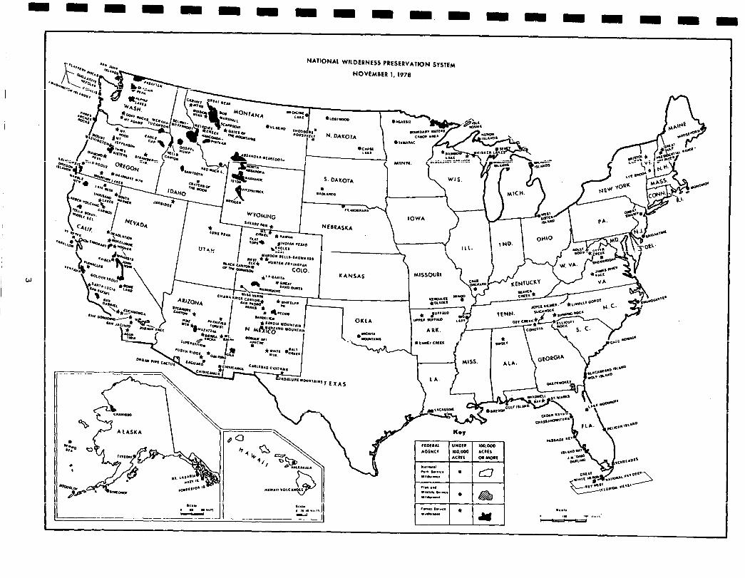
- The National Wilderness Preservation System, as of November 1, 1978, consists of 187 areas classified as Wildernesstotaling morethan 19 million acres. Areas are found inNational Forests,National Parks,National Wildlife Refuges, andon public land administered bytheBureau of Land Management. (Maps on the following pages identify components of the NWPS and potential additions that are Administration- endorsed.)
2
N*YIONAL WILDERNESS PRESERVATION SYSTEM
NOVEMBER 1. 1978
i IOWA
. vr.mceaa.
* I NEIRASKA \ /
L- Ill. I \ NO. I OHIO
- .-
Y
. VA. cdQ
4% v
- KANSAS
7 0~1~.
*WOO,. MUO
cm.-- -
\
ADMINISTRATION ENDORSED ADDITIONS TO
NATIONAL WILDERNESS PRESERVATION SYSTEM NOVEMBER 1, 1978
AS
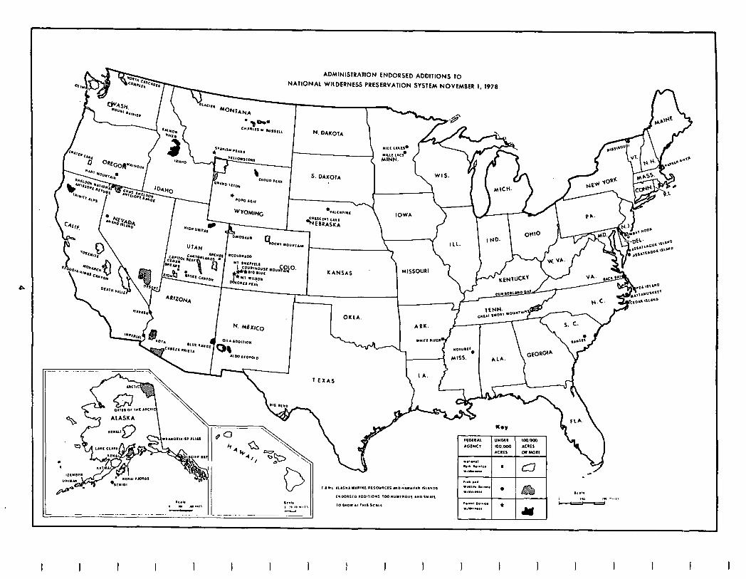
The Forest Service administers 110 wildernesses totaling more than 15.2 million acres . Seventeen other areashavebeen studiedandendorsed bythe Administration to be added to the National Wilderness Preservation System. These areas total slightlymore than 3.3 millionacreswhich, if approved by Congressional action, would result in 127 areas and almost 18.5 million acres administered by the Forest Service.
WithintheNational Park System, thereare currently25areasclassifiedaswilder- ness, totalingabout 3millionacres. Agency study of the remaining undeveloped areas is essentially complete with proposals pending action by Congress. The potential National Park WildernessProgram, ifallendorsedareasare classified, would result in a total of 48 wilderness areas containing slightly more than 15.7 million acres. There are additionalareas notyetstudied that could raise this acreage slightly.
Congress has designated 52 units of the National Wildlife Refuge System with approximately 771,000 acres as wilderness. An additional 33 areas containing 7.2 million acres have been endorsed by the President and are pending before Congress. Several large areas are stillunder study andmay result in significant increases.
Three wildernesseslocatedprimarilyonNationalForestlandcontainapproximately 12,OOOacres ofpublicdomainland administered bytheBureau of Land Management. The Bureau, intotal, administers about 450 million acres with perhaps over 120 million acres being roadless or undeveloped. These areas will be studied for possible inclusion in the National wilderness Preservation System as required by Federal Land Policy and Management Act of 1976.
If allpendingAdministration-endorsedareas are added, theNWPSwould consist of 260 areas containing4 1.9million acres. TheNational Park Service and Fish and Wildlife Servicehaveorwill have essentially achieved theirtotalpotentialwhen actiononthoseroadlessareas currentlybeing reviewedis completed. This leaves the Forest Service and the Bureau of Land Management as the major sources of additional Federal lands that have potential for wilderness classification.
State and localgovernments alsohavethe opportunityto set aside areas of land to be preservedintheirnaturalstateandmanagedas wilderness. Nine Stateshave establishedwilderness systemswithintheirboundaries. Eorthepurposeof RAREII, State systems are consideredthe equivalent of Federalwildernessif the standards for designation and management areas rigid as Federal standards. In addition, for State designation to be considered meeting Federal standards, legislative action is required rather than administrative decisions or designations. Cali- fornia, with two areas, totaling 97,000 acres, and New York, with 16 areas totaling approximately one million acres, are the only States that meet the standards. Eighteen other States have established legislation or already designated areas that do not meet the Federal standards but do preserve areas of land in a natural condition.
Roadless Areas Review and Evaluation
I The Wilderness Actof 1964required the Forest Serviceto studythe suitability of 34 existing primitive areas for wildernessdesignation. But other roadless and undevelopedareaswithintheNationa1 Forest System also could be considered for
possible inclusion in the National Wilderness Preservation System. The first Poadless Area Review and Evaluation (PAFUZ) effort was initiated in 1972 to accomplish this. It was designed to identify those roadless, undeveloped areas that appeared to be the best candidates for inclusion in the NWPS. The process resulted in the selection in October 1973 of 274 wilderness study areas containing approximately 12.3 million acres. The selections were made from a total inventory of 1,449 areas containing 56 million acres.
The Forest Service has continued to consider roadless areas not selected for wilder- ness study for their wilderness potential as part of its land management planning program. The original review of roadless areas and continuation of the planning process has contributed to resolution of the roadless area question.. While this normal process would most likely have resulted in a substantial number of areas being designated wilderness, it was felt that a more concerted effort was desir- able, among other reasons, to speed up determinations, to permit a more compre- hensive approach to identification of appropriate areas, and to encourage a more systematic review and evaluation of the remaining roadless areas. Thus, RARE II was undertaken.
Important lessons identified by assessing RARE I experiences have contributed to the form and content of PARE II. First, in retrospect it seems clear that roadless areas might better be reviewed in terms of larger integral units rather than in smaller parts. Boundary definitions of study units thus are important. Second, selection criteria require refinement so as to minimize the possibility of excluding or overlooking particular undeveloped areas. Finally, especially in the context of Public Law 93-622, earlier concentration on Western forest lands would most appro- priately be supplemented by careful examination of Eastern National Forest lands and of all National Grasslands.
RAPE II is an integral part and acceleration of that portion of the land management planning process dealing with Forest Service administered roadless areas. It is designed to consider the entire National Forest System at one time, minimizing local variations in inventory and allocation of roadless areas. PARE II does not replace the land and resource management planning effort being conducted today. PARE II will be accomplished in context with and will assist the land management planning effort by resolving most of the roadless area allocation questions. In addition, PARE II will provide datato assist inthe 1980 update of the program required bythe Renewable Resources Planning Act. RPA wilderness targets and land area available to contribute to other targets will be more precisely known upon completion of PARE II.
RARE II began with a Forest Service inventory of roadless, undeveloped areas that met minimum criteria for wilderness consideration under the Wilderness Act. The criteria defined a roadless area as an area exclusive of improved roads constructed or maintained for travel by-.means of motorized vehicles intended for highway use. The inventory recognized that areas of land could be included in the Wilderness System even though they may not be entirely free of the imprint of man but are fully capable of providing wildernessbenefitsto the public. Accordingly, roadless, undeveloped areas could include past timber harvest activities, evidence of old mining, some range improvements, minor recreation sites, water related facilities, etc., if the passage of time or their visibility allowed the area to appear natural. In addition, undeveloped areas in the eastern part of the United States could be included if there was no more than l/2 mile of improved road per 1,000 acres as long as the road was under Forest Service jurisdiction. Throughout the inventory process, the question of whether or not areas should be wilderness was not a factor. The primary criterion was suitability.
-
-
-
-
-
-
6
Ii e public was invited to propose additions or deletions to the inventory list and mment on those factors that should be considered in evaluating additions to the
Wilderness System. public input was reviewed and an inventory list of 1,921 road-
D 9s areas, encompassing about 62.1 million acres, prepared. It was supplemented a list of 34 roadless areas allocated to nonwilderness use through the land
management planning process, but determined to need an additional review. Both
1
sts were published IntheNovember 18, 1977, Federal Register.
The inventory was updated onFebruary and June 8 priorto issuance of the RARE II
Ilk
aft Environmental Statement. The total number of roadless areas changed with ese updates, due primarily to incorporation of the Tongass National Forest Land nagement Plan intothetotal RARe II process. The plandivided the three roadless
areas originally inventoried ontheTongassNationa1 Forest into over700 individual
ta lue comparison units for planning purposes. The RARE II inventory has been
nded to reflect the Alaska increase in number of roadless areas. The acreage has also changed dueto more precise measurements, identification of native claimed
I: nds, and elimination of areasthat were not roadless. The RARE II inventory con-
'sted of 2,686 roadless areas, containing slightly more than 62 million net acres atthe time the draft statement was filed. The ten alternatives displayed in
r
e draft and reconstructed in this final statement deal only with these 2,686 eas.
The RARE II inventory has been dynamic until filing of this final environmental
a atement. Following publication of the list in the November 18, 1977, Federal gister, the public submitted suggestions for both additions and deletions to
the inventory. Rachchallengetothe inventory was carefully reviewed and decisions
% de regarding their inclusion on an area-by-area basis. These decisions by the ief of the Forest Service have been appealable to the Secretary of Agriculture
under 36 CFR 211.19. The first inventory changes were published in the February 14,
k
978, Federal Register. Subsequent amendments were published June 8, October 3 d 19, December 13, 1978 and January 3, 1979. Amendments were made as areas at have been allocated through land management planning processes subsequent to
issuance of the RARE II draft statement have been deleted from the inventory.
B her changes reflecta recalculation ofroadless area.acreages and, in some cases, dificationof boundariestodeleteprivately owned lands. Also, during evaluations
there were situations where inventoried roadless areas had to be divided into two
L
r moreseparateareas sothatappropriate portions could be allocated to wilderness ile portionsneeded fornonwilderness resource use could be allocated to multiple
uses otherthan wilderness. As a result, there are 2,919 roadless areas containing
Q
2,036,904 acres.
hese 2,919roadless, undeveloped areas of theNational Forests and National Grass- lands represent the National Forest System opportunityto contributetothe National
1 ilderness Preservation System. This led to the second part of RARE II or the valuation phase. The goal of this phase was to decide which areas should be
allocated either to wilderness, to multiple uses other than wilderness, or to
I
urther planning.
The draft environmental statement documented the early phases of the evaluation
9
recess and asked the public to comment on a series of ten alternatives. The raft statement consisted of a national overview statement and 20. supplements to t providing site specific information and a State-by-State analysis of impacts.
This final, environmental statement does not have any supplements. However, the
R llocation of individual roadless areas and assessment of State-by-State impacts ay be found in separate appendices for each State or geographic area following xtion VIII of this statement.
7
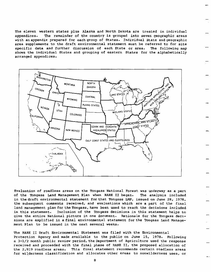
The eleven western states plus Alaska and North Dakota are treated in individual appendices. The remainder of the country is grouped into seven geographic areas with anappendix prepared for eachgroup of States. Individual State andgeographic area supplements to the draft environmental statement must be referred to for site specific data and further discussion of each State or area. The following map shows the individual States and grouping of eastern States for the alphabetically arranged appendices.
-
-
-
-
-
-
-
-
-
Evaluation of roadless areas on the Tongass National Forest was underway as a part of the Tongass Land Management Plan when PARE II began. The analysis included in thedraft environmental statement forthat Tongass IMP, issued on June 28, 1978, the subsequent comments received, and evaluations which are a part of the final land management plan fortheTongass, have been used to reach the decisions included in this statement. Inclusion of the Iongass decisions in this statement helps to give the entire National picture in one docment. Rationale for the Tongass deci- sions are amplified in a final environmental statement forthe Wngass Land Manage- ment Plan. to be issued in the next several weeks.
The RARE II Draft Environmental Statement was filed with the Environmental Protection Agency and made available to the public on June 15, 1978. Following a 3-l/2 month public review period,theDepartment of Agriculture used the response received and proceeded with the final phase of PARE II, the proposed allocation of the 2,919 roadless areas. This final statement recommends certain roadless areas for wilderness classification and allocates other areas to nonwilderness uses, or
8
-
-
-
-
when unable, defers decisions pending results of further planning at the National Forest level. The environmental effects of these decisions along with the decision making process are displayed in this statement.
The three categories to which all areas are allocated -- wilderness, multiple uses other than wilderness (nonwilderness), and further planning for all uses -- in each alternative and the proposed action mean:
WILDERNESS. Roadless areas placed in the wilderness category are to be recommended to Congress for classification. The areas will not be available for timber harvest, road construction, or other activities that reduce the wilderness potentiql of the area. Entry into the areas for exploration, development, and production of minerals locatable under the 1872 mining laws is currently permitted, however the Administra- tion has recommended that Congress amend the 1872 Mining Laws. Access and other activities requiring land use permits may require modification. Current permitted activities, such as off-road vehicle use or maintenance of range improvements or other existing developments, may continue pending classification. Recommendations regarding mineral leasing will normally be for "no surface occupancy" stipulations.
NONWILDERNESS. Roadless areas placed in the nonwilderness category will, consistent with current laws, regulations, and national policy, and within constraints of existing management plans, be available for resource utilization such as logging, intensive grazing, recreation site development, dispersed motorized recreation use, etc. Roadless areas made available for nonwilderness uses will be managed in ac- cordance with existing multiple use or land management plans until such time as plans are revised in accordance with Section 6 of the National Forest Management Act.
FURTHER PLANNING. Roadless areas placed in the further planning category will be considered for all uses, including wilderness, during development of land and re- source management plans or other specific project plans meeting NEPA requirements. The land management planning process will comply with regulations developed to meet requirements of Section 6 of the National Forest Management Act. Planning for road- less areas placed in this category will be accomplished at the Forest level. The first generation of Forestplans will be completed bythe end of 1985; with decisions on most of the areas placed in further planning made .during this period. In the interim, development activities such as timber harvest, road construction, and other activities that may reduce wilderness potential of the land will be prohibited. Activities permitted by prior rights, existing law, and other established uses may continue pending final disposition of the area. This allows recreationists and other forest users continued'use ofmotorizedequipmentwithinthese areas as permitted or controlled by off-road vehicle management plans. Although noharvesting of timber will be allowed from these areas other than for emergency reasons, standing timber on commercial forest land in the areas will be used to determine potential yield. Certain exploration activities for oil and gas resources may occur for information gathering prior to completion of Forest plans.
9

-
-
-
-
-
-
-
-
-
-
-
-
II. AFFECTED ENVIRONMENT
The National Forest System contains approximately 187.7 million acres of Federal land administered by the Forest Service. The Systeuj consists of 154 National Forests totaling 183.4 million acres, 19 National Grasslands with 3.8 million acres, and about 0.5 million acres of smaller purchase units, land utilization projects,andresearchareas. Initial reservationof publicdomainland contributed 160 million acres to the System with the remaining 28 million acres acquired by purchase, exchange, transfer, or other forms of acquisition.
National Forests and National Grasslands arelocatedin41 States and PuertoRico. The majority of land, 163.8 million acres, is located in the western portion of the United States, includingAlaska. Approximately23.9 million acres arelocated in the East. Although the land base is not evenly distributed throughout the country, National Forests and Grasslands provide an opportunity for all people to enjoy the many goods and services they offer.
This final environmental statement deals only with 2,919 roadless areas in the second Roadless Area Review and Evaluation, RARE II. Although management of the entireNational Forest System is consideredinthebroad context, such as achieving RPA program goals, alternatives deal only with the 62 million roadless acres. The environmental setting is primarily a description of RARE II areas and the resource values they contain. However, a brief overview of resource use in the National Forest System is provided to put roadless areas in perspective with the total system.
Physiographic Regions. Lands withintheNationa1 Forest System span a broad range of landforms and environments. National Forestsbegin near the Atlantic coast in the Carolinas and extend tothe redwoods and sand dunes alongthePacificbeaches. Islands that areapart oftheinlandpassageof Alaska, lava fieldsofthe Cascades, and swamps alongthe Gulf of Mexico are all part of this System. Examples of the high plains of North America and the deserts of the Southwest are found within the National Forests and Grasslands.
Major landforms within the United States are more easily understood if they are placed into groupings of similar landform types. For purposes of RARE II, land surface divisions and subdivisions formulated by Edwin H. Hammond have been utilized (1). Thisresultsinidentification of 40physicalsubdivisionsthroughout the country. (Amapofthe subdivisions is foundonpage 120f thedraftenvironmental statement.) These subdivisions formthebasisfor identifyingthe degree of repre- sentationwithineach landformtypeinthe present National WildernessPreservation System (NWPS),and forassessinginventoriedroadless areas for otherlandformtypes that are not now represented intheNWPS. RARE II areas arefound in 24 of the 40 landfonn types. (A list of the 40 subdivisions, the number of landform types in Administration-endorsedareas forwilderness or inthe existing wilderness system, and thenumberof Forest Service roadlessareas within a specific subdivision were shown in appendix A of the draft statement).
Vegetation. The vegetation of the National Forest System is as diverse as the plains, valleys, and mountains on which it grows. Rain forests of the northern Pacific Coast Range contrast markedly with cactus and desert plants of the great
11
Southwest. Giant Douglas-fir from the Cascades, fast growing pine in the South- east, and hardwoods of Appalachia and the Ozarks are contrasted with short-grass prairies of the Great Plains.
Roadless areas inventoried in RARE II contain a diversity of vegetative types representing a variety of ecosystems. Threatened and endangered plant species, althoughnotpreciselyinventoried, existwithinthe roadlessareas.
The relationship of vegetation to various generalized ecosystems in this Nation can better be visualized if ecosystems are placed in similar geographical areas. This work was done in 1976 by Robert G. Bailey (2). Bailey developed a map of "ecoregions" that classified regions of similar ecosystems. Generally, ecoregions are characterized bydistinctive flora, fauna, climate, landform, soil, vegetation, and ecological climax. Ecoregions provide a classification system to understand and separate variations within the environment.
Potential natural vegetation of the United States was mapped by A. W. Kuchler in 1966 (3). This mapping represents vegetation that would occur naturally in a given area if succession were not interruptedby manipulation. It does not include pockets of vegetation less than approximately 50,000 acres.
Ecoregions identified by Bailey and potential natural vegetation mapped by Kuchler have been combined to define ecosystems for purposes of the RARE II evaluation. (The map of this combination may be found in the back of the draft environmental statement identified as map B.) This combiningof systemsresultsinidentification of 241distinct ecosystems. Delineation of ecosystemsprovidesamethodto determine distribution of natural ecosystems within the National Wilderness Preservation system. It will also allow identification of opportunities to provide additional representations of a particular ecosystem withinthe NWPS. Forest Service roadless areas are found in 105 of the 241 ecosystems. (The listingofecosystems, number of areas classified or administratively endorsed , and number of roadless areas in a specific ecosystem were shown in appendix B of the draft environmental statemen>.)
Air. The Nation's air quality ismandatedby the Clean Air Act (PL 88-206) and its amendments. The 1977 amendments (PL 95-95) specified, among other things, certain Federalareas, suchas national parks, wilderness,national monuments,national sea- shores and otherareasof special national orregional values, be designated forair quality protection.
The amendmentadoptedasystembywhich theentire nation would bedesignatedspecific air qualityclasses. Threecategorieswere established--ClassI, ClassII, and Class III. Presently, eachclass represents adefined, allowable increase in particulate matterandsulfurdioxide. Class Iallowsthe smallestpollutionincrementandClassIII the largest. Otherpollutantshaving nationalambientstandards will have increments established in the future.
Clean Air Act Ammendments initally classified all lands. Mandatory Class I status was given to international parks, national wilderness areas over 5,000 acres in size, national memorial parks that exceed 5,000 acres, and national parks that exceed 6,000 acres and were in existence onthedate of enactment of the 1977 Clean Air Act Ammendments. Allotherareas,except thoseredesignated Class I byregulation prior to August 7, 1977, were designated Class II.
-
-
-
-
-
-
-
12
Section 164 of the Act gives State and Federally recognized Indian Tribes authoritytoredesignate classifications forareaswithintheir geographicboundaries. This authority was constrained to the extent that mandatory Class I areas could not be redesignated and the following areas may be redesignated only as Class I or II: 1) an area that exceeds 10,000 acres in size and is a national monument, primitive area, .nationalpreserve , national recreation area , wild and scenic river, wildlife refuge national lakeshore or seashore, and 2) a national parkor national wilderness area established after the date of enactment of the Act that exceeds 10,000 acres in size. All other areas can be redesignated Class I, II, or III by the state. The redesignation constraints gave an implicit indication of the relative import at the national level of air quality in the various types of areas. Greatest importance was placed on air quality over those areas given a mandatory Class ,I status and least on those that could be redesignated to Class III.
Environmental Amenities. Perception ofour environmentis primarily a visualexper- ience, but our senses of smell, taste, touch, and hearing contribute to complete our perception of environmental amenities. Maintenance of air quality not only providesenvironmentspleasant toour sensesof smell butalsoenchances opportunities to enjoy expanded views and vistas because of clear, clean air. The sense of taste and touch are not generally affected by management of the land base but the impact of noise on forest visitors may be an important factor in land and resource management efforts.
The landscape character of this Nation can best be described in terms of land and rock forms (topoqraphy),waterbodies, andvegetative patterns. These are components of the visual resource that, when seen in varying combinations, can be used to evaluate the visual quality of an area.
The landform componentof the visual resource maybe exemplified by ruggedupthrusts of the Rocky Mountains, singular volcanic peaks of the Cascades, and rolling hills of the Appalachians and Ozarks. Waterbodies within and adjacent to National Forest Systemlandsinclude the Snake, Missouri, Mississippi,and ColumbiaRivers,LakeTahoe, the Great Lakes, and thousands of lesserknownbodies of water scattered across the landscape. Thecontrastofaspenandspruce,thestatelyDouglas-fir,grasslandand the variety of easternhardwoods contributeto the vegetative character of this Nation.
Maintenance and protection of the visual resource is an important factor for the millions of people that view National Forests. Scenic quality is expected when driving or hiking through forests, when flying over them, or simply when viewing mountain peaks from valleys below. Management of the visual resource is now an important part of total land and resource management within the National Forest system.
Noise, ormore preciselythelackof it, is an amenity savored bythe American public. Complete solitude may usuallybe obtainedwithin wilderness andmore remote roadless areas. Aquiet, relaxedenvironmentcanbefound throughoutmost National Forests and Grasslands. But there are other users more desirous of the noise and bustle of a ski area, the roar of dunebuggies and other off-road vehicles, and the whistle and soundsofaloggingoperation. The management challenge fortheNationa1 Forest System is to provide a cross-section of environments the many publics wish to use.
13
-
Resource Use. Perhaps the best way to develop an understanding of the land base being considered is to describe resources that exist within National Forests and Grasslands.Iands and renewable surface resourcesofthe National Forest Systemmust, by law, be managed for continuous production of all their values for the American people. In constrast, lands administeredby the National Park Service are managedto preserve areas of natural,historical, recreational,or scenicattractions,whilethe National Wildlife Refuges are managedto protect various wildlife species. The fol- lowingdescribes uses madeof recreation,wilderness, timber, range,water,and wild- life and fish resources. The ForestService is not assigned primary responsibility for management of the mineral and energy resource. However, management of National Forest System lands overlying the resource is required, so this section discusses mineralsandenergy. The section ends withadiscussion of the socioeconomic factors involved in land and resource management.
Gathering of resource data in the totalRARE II effort hasinvolved avery intensive effort conducted over a relatively short period of time. Correction and revision of data was practicallya dailyeffort. Data have beencollected at Ranger District and National Forest levels to insure the most current data possible. Selected data for individual roadless areas were displayed in the State and geographic area supplementsto~the draft statement. Additional data are displayed in appendices to this statement. More detailed data may be obtained from Regional Forester and Forest Supervisor offices.
Recreation opportunites within the National Forest System are as diverse as the people who come to enjoy them. Fishing a high mountainstream, canoeing on a quiet lake, hikinginbackcountry, ridingtrails,usingamotor vehicle for viewing scenery, campingandpicnicking in a woodedcampground, staying atalodge or summerhome, and downhill skiing are available.
Recreation use within the National Forest System falls into two categories -- developed site use and dispersed area use. Developed site use takes place in those areas where facilities have been constructed for the visitor, such as camp and picnic grounds, visitor centers, lodges, resorts, and ski areas. Recreation use of these facilities in 1977 amount to 73.8 million visitor days. (A visitor day is the equivalent of one person spending 12 hours in recreation on public land.) Dispersed area use occurs in areas that do not have developed site facil- ities. It includes activities such as hunting and fishing, hiking and horseback riding, off-road vehicle use, driving for pleasure, 'etc. Dispersed area use in 1977 accounted for 131 million visitor days, bringing the total recreation use on National Forests and Grasslands to 204.8 million visitor days.
Recreation use within inventoried roadless areas amounted to about 32.6 million visitor days. This represents about 16 percent of the total visitor days on the National Forest System in 1977. A total of 1,997,500 visitor days of picnicking, camping, cross-country skiing, and water based recreation took place in roadless areas. Hunting, fishing and nonhunting wildlife visitor days totaled 18,352,200. Motorized dispersed area use was2,997,500 and nonmotorized 9,276,000 visitordays.
-
-
-
-
-
-
-
-
-
-
-
Wilderness- is designated to preserve a natural resource for present and future generations of Americans. Its purpose is preservation of areas in their natural state where man is only a visitor. Useof thewildernessresource generally involves
14
I 1 I 1 I 1 I I I I I 1 I I I I I I
hiking, horseback riding, camping, fishing and hunting, and general enjoyment of scenic, scientific, and educational features. Wilderness management, subject to statutory exceptions, prohibits develoment of facilities beyond those essential to protect the resource and provide for a degree of public safety. Trails, rustic directional signs, and primitive facilities to control pollution and site abuse are permitted. Fire protection and other emergency activities are permitted using whatever reasonable and practical measures are needed to protect wilderness and human values.
Use of wilderness and primitive areas is a part of the dispersed recreation use figures discussed in the previous section. In 1977, it amounted to slightly more than Smillionvisitordays, FUME IIroadlessareasnotincluded.
Timber. The National Forest System contains about 18 percent of the Nation's 488 million acres of commercial forest land. The Nation is harvesting approximately 55.6 billion board feet of timber per year. During the past 10 years, an average of 11.0 billion board feet of timber has been harvested annually from National Forests. This timber is used to build homes, provide paper, and supply a wide variety of other products for the Nation. The National Forest timber program is a major factor in providing employment and sustaining economic viability in many local communities.
RARE II roadless areas contain 26.8 million acres of commercial forest land, including areas currently in the "deferred" category, with a total inventory of over 378 billion board feet of sawtimber and products. These lands have the capability to produce an annual programmed harvest of 2.3 billion board feet (over 20 percent of the National Forest System total) and a long-term potential yield of 5.6 billion board feet of sawtimber and wood products. These estimates include all areaswhere itis silviculturallydesirable toharvest timber andmeetmanagement objectives, including the marginal lands. Commerical forest land has been placed in the marginalcomponent because ofexcessivedevelopmentcost, low product values, or resource protection constraints. Inclusion of marginal areas in the potential yield total could have an overall effect on volume available, 'employment, etc., depending on how soon and under what conditions the timber could be harvested if made available. The marginal component has been included to display maximum potential that could be realized from the roadless areas.
Range. The Nation's range resource is an important factor in supplying meat, leather, and wool, to consumers. National Forests and National Grasslands encom- pass 103 million acres, or almost 41 percent, of the country's publicly owned rangeland. Grazing of livestock and sheep on National Forest System lands is controlled by permit on 11,164 grazing allotments Nation-wide. Use of these lands duringfiscal year 1977 totaled 11.4 million animal unit months (AUM's) plus forage use by big game, wild horses, and burros. (Gne animal unit month is a measurement of the amount of forage normally required per month for one mature cow or five adult sheep.) Grazing on National Forest System lands supplies all or part of the forage,annually for about 1.5 million cattle, 1.7 million sheep, 170,000 horses, and approximately3,500 wild, free-roaminghorses and burros. In addition to meeting needs of domestic animals, National Forests and Grasslands provide an extremely important year-round forage source for much of this country's wildlife.
15
-
Inventoried roadless areas contribute over 18 percent of the total grazing use on all National Forest Systemlands. Thisamount to approximately 1,534,83Oanimal unit months ofgrazingby cattle,469,592 for sheep, and 31,522animal unit months of commonuse bybothcattle and sheep.
-
-
Water. Headwaters of most major rivers throughout this country are found on the Nation'spubliclands,withmanylocatedonNational Forest lands. National Forests _ are the source of more than 50 percent of the water produced in 11 Western States. Many western andseveraleastern cities and towns obtain municipal water supplies from watersheds within the National Forest System. These watersheds also supply irrigation water for more than 20 million acres of cropland, habitat for many species of resident and anadromous fish, waterto power generators in many hydro- electric projects, and millions of gallons daily for major industrial purposes. Maintenance of water quantity and quality are both extremely important aspects of National Forest and National Grassland management.
-.
Water quality ishighly variablebetween andwithin undisturbedwatersheds such as might be found inthe RARE II inventoried roadless areas. Even though water from there areas is generally consideredpristine, water cannot alwaysbe equated with good or high quality ratings. In a recent Nationwide analysis of undisturbed forested watersheds, water quality was found to range from less than 50 mg/l of the total dissolved solids to greater than 2,000 mg/l. Suspended solids range from less than 10 mg/l to greater than 10,000 mg/l in undisturbed watersheds. Some roadlessareascouldrespondfavorablytowatershed treatmentmeasuresdesigned to improved quality of the water resource.
Approximately lmillion acres of the roadless areashavebeen previously withdrawn for water-related activities which in fact establish a prior right of use on the land. Withdrawals have been made for power projects , power and reservoir sites, etc. In addition, there are over 4,400 existing water impoundment and diversion structures covering an estimated 23,000 acres of the roadless areas.
Wildlife and Fish on National Forests and National Grasslands are diverse and plentiful. They range in size from a half-ton Alaska brown bear to a three- quarter ounce rufous hummingbird, and from the smallest fingerling trout to a 40 pound salmon returningto aNational Forest streamto spawn. The American bald eagle, wild turkey, and a wide variety of other birds are often seen in public lands administered bythe Forest Service. A list of species known to inhabit the United States would probably suffice for a list of species found on Forests and Grasslands, with few exceptions. Morethan 60 threatened and endangered wildlife species are also known to inhabit these lands.
The presence ofwildlife in wilderness areas is an importantpartofvisitors' en- joyment, for they expect to see species in a wilderness environment they may never see elsewhere. Twenty-nine species of wildlife and fish that people generally associate with wilderness areas have been identified: they are limited to those mentioned by wilderness writers and actual users. These species are not necessarily biologically dependent on wilderness character or management but they are those the public,wuld like to see in a wilderness setting. (The species, number of wildernessunitsclassifiedor endorsedin which the species is located, andnumber of roadless areas containing the species were listed in appendix C of the draft environmental statement.)
-
-
-
-
16
Minerals and Energy. Mineral deposits, including potential energy sources, underlie manyNational Forests and Grasslands. Control of Federal mineral resources is vested in Department of the Interior agencies, but surface management is the responsibility of the Forest Service. The United States owns only the surface rights on a considerable portion of the National Forest System.
All public domain land, other than that withdrawn from entry for protection of specific purposes, is open to prospecting and development of mineral resources. Use of most western National Forest System lands for exploration, development, and production of minerals locatable under the 1872 mining laws is covered by regulations contained inTitle36, Code of Federal Regulations, part 252, August28, 1974.
Potential energy sources exist within the National Forest System but their precise location, quantity, and quality are, for the most part, yet to be determined. The single most promising area for oil and gas potential in the lower 48 States is the Overthrust Helt. This area extends from Nevada through northeastern Utah through western Wyoming and west central Montana into Canada. The Department of Hnergy estimatesthebelt may contain more than 8 million acres of land with a substantial portion of the arealocatedwithinNationa1 Forests. It has identified 588 roadless areas orpartsofareasasvery importantor important for energy resource potential.
Forest Service ratings of mineral and energy resources identified 48 areas with producing mines, 13areas withproducing oiland/or gas wells, 2areas with producing uranium mines, 1 geothermal source capable of production, and 9 producing coal mines. High potential ratings were given to 602 roadless areas with high hardrock mineral potential, 303 areas have high potential for oil and gas, 156 areas have high uranium potential,28 havehighgeothermal potential and 56 havehigh potential for coal. Remaining roadless areas have a moderate or low potential for mineral and energy resources.
Cultural Resource. Development of thisNation can be traced through many remaining archeological and historical sites. The earliest settlements of Native Americans and their hunting, fishing, and religious sites tell of a land and its natural resources. Discovery, development, and western movement of later man also is recordedinsites and facilitiesleft behind. This remaining resource is invaluable in understandingwhat hasgonebefore.
The cultural resource on National Forests and Grasslands is neither fully discovered nor totally understood. Historical sites are being discovered as we continue to know more of this land. The resource has not been completely inventoried. It is protected by law and must be recognized as an integral part of the total Forest Service land and resource management program.
17
-
There are undoubtedly historical, archeological, and other sites of cultural importance within inventoried roadless areas. It is not known how many or what kinds exist. Prior to development,within any area of the National Forest System, a searchmust be conducted todetermine if the cultural resource exists. TheRARE II inventory and evaluation process will not change this requirement.
Socioeconomic environment is that related topopulationand demand forgoodsand services. Our 220 million residents rely upon the wealth of natural resources this country can provide for food, shelter, and employment. In addition, many seek escape from normal activities that surround them and find relief in natural attractions that abound in mountains, lakes, and valleys of this diverse land. The National Forest System provides both physical needs essential for comfort and diversified environments that promote quality of life.
Directcashreceipts from the National Forest System in fiscal year 1977 totaled a little more than $691.5 million. Timber receipts were by far the largest soufce, with receipts from mineral leases and royalties second and grazing and other permits being third. Twenty-five percent of the receipts received were returned to counties and states where revenue originated for the purpose of funding schools and developing secondary roads. Additional receipts in the form of deposits and value added bring the total to more than $1 billion.
Total dollarreceiptsarenota large factorwhencompared to the Nation's income but they do represent much more than returns to the U.S. Treasury. The direct benefit created by sale and use of National Forest and Grassland resources accounts for more than 180,000 person-years of employment. Indirect benefits from supporting industries add additional employmentand dollar incomes to this total. Investments intransportation systems, cooperative assistance, andother non-quantifiable factors are also positive benefits derived from the National Forest System.
-
-
-
The economic feasibility of developing specific roadless areas is a factor when considering allocation of areasto either wilderness or nonwilderness uses. An analysis system called theDevelopent DpportunityRatingSysten~(DORS) has been prepared tomeasurerelative per acredevelopmentpotential. The rating for each roadless area combines available economic benefits and development cost infor- mation that would occur if a full range of nonwilderness resource uses were permitted according to current Forest Service management policy.
-
18
For manyF the National Forest System is a special place remembered because of a recreational experience. It has symbolic meaning for those living within its shadows or concerned with a certain mountain, valley, or other portion of the landscape. People throughout the country reflect a special concern for management of this Federal land, whether they depend upon it, have intimate knowledge of it, or only recognize it as "being there."
Land usedecisionscanaffecteachandeveryindividual. Those withan economic or specialized recreation interest can be affected if areas are identified for wilderness use. Others withmore of a preservation orientation maybedisturbed if a favorite roadless areabecomes available for use of its commodity resources androads are built into the area. Various uses of land are complex in nature and at timesconflicting. What is ideal foronegroupof individualsmay adversely affectothers. Within this framework, the process for evaluating and deciding the usestobe made of RARE II roadless areas must take place.
19

-J.
-
-
-
-
-
-
-.
-
I I I I I I I I 1
1 I I
III. EVALUATION CRITERIA
Criteria were established for analysis and subsequent ,evaluation of alternative approachesdeveloped duringthe RARE II process. Some of the criteria were based on legislation, some relate to executive orders and regulations developed in response to legislation, and others were a result of obligations and policies established throughprevious planning efforts and decisions. Criteria were utilized duringtwo phases of theRARE II planning effort; first, whiledeveloping a rangeofalternativeapproaches ,and second, whenevaluatingoptionsanddeveloping a proposed course of action.
During the first phase, alternative approaches for allocation of roadless areas were developed using a series of criteria, characteristics, and other factors. Resource outputs levels were one criterion used for allocating roadless areas to eitherwilderness,nonwilderness,or further planning inthe alternatives. outputs were established at specific levels by the Forest Service, reflecting their best professionalevaluation for identification ofroadless areas withhighor veryhigh resource values. Output levels used or amount of acceptable change permitted in determiningroadlessareasallocations may appeartohavebeen arbitrarily selected but, in factrepresenta realisticestablishmentof acceptableresourcetradeoffsto provide various alternative approaches.
Other characteristics used to develop alternative approaches include guidelines established by the Multiple Use-Sustained Yield Act, characteristics identified by the Wilderness Act, and two distinct sets of factors the public identified as important in deciding the disposition of roadless areas. These sets of factors represent the response of over 50,000 people who commented onthe initial RARE II inventory effort during the summer of 1977. Factors were of two general types. The first set describes characteristics the public feels the National Wilderness Preservation System should contain, with landform, ecosystem, wildlife, and accessibility being identified. The second set relates to costs or impacts to considerwhen proposing wildernessdesignation, suchas impacts ontimber, energy, and mineral resources, effects on motorized or intensive recreation use, and the impact on wildlife management programs.
The 1964 Wilderness Act defined wilderness as having natural integrity, opportu- nities for solitude or a primitive recreation experience. Inaddition,anareamay contain ecological, geological, or other features of scientific, educational, scenic, or historical values. To utilize components of the Wilderness Act as evaluation criteria, a system was developed that assigned a numerical rating for each of the above mentioned attributes within roadless areas. It is called the WildernessAttribute RatingSystem (WARS). The system utilized four distinct factorsidentifiedinthe Wilderness Act--naturalness, apparentnaturalness, oppor- tunity for solitude, and opportunity for a primitive recreation experience--and assigned .a numerical ratingfrom one to sevendepending onthe degree of natural- ness or opportunity, exhibited. A seven rating indicates the highest degree of naturalness or the most opportunity. The four factors rated were combined to give a potential WARS range from four to twenty-eight. Recognizing that many roadless areas could achieve the same numerical value, supplementary factors ofecological, scenic, geological, andculturalvalues also mentioned in the Wilderness Act were rated in a similar manner. These scores were utilized in tie-breaking but were not included in the combined WARS.
21
Numerical WARS scores were utilized as criteria in development of various alter- native approaches for allocation of roadless areas. Rating was done by an interdis- ciplinaryteam of Forest Service professionalsto insure the mostobjective evaluation possible. In many instances, representatives from various special interest groups and/or concerned citizens were involved in developing and checking assigned rating. WARS ismostaccurateandappropriately appliedonly within each Forest Service Region. It is not meant tocompare wilderness attributes of a roadless area inthe -ckyMoun- tains with an area in New England or the Pacific Northwest. Its use in preparation of alternative approaches displayed in the RARE II Environmental Statement has been confined to developing IntraRegional lists of roadless areas recommended for wilder- ness. The rating system and individual worksheets may be reviewed at offices of the Forest Supervisor and Regional Forester who administer the specific. roadless area.
Ratingcriteriaalsowererequired toevaluate mineralandenergy potentialof the road- less areas. Forest Service geologists and mining engineers, after evaluating mineral data obtained from Department of Energy, U.S. Geological Survey, Bureau of Mines, comparable State sources, and from industry, developed a Mineral Potential Numerical Rating System for each of six commmodity categories. The six categories are: (1) Iiardrock minerals or those non-energy minerals that are a part of USGS/ Bureau of Mines minerals ofcompellingdomestic significance list, (2) oil and gas, (3) uranium, (4)coal, (5) geothermal resources, and (6) low value bulk materials such as sand, gravel, rock, etc. A numerical ratingfor any one or allof the commodity categories was assigned to each inventoried roadless area. Ratings have been entered into the data base for each roadless area at the Regional level and were used to assist with development and evaluation of the proposed action.
Numerical ratings assigned to any one mineral or energy group range from O-100. A rating of 100 is assigned to areas containing a producing mine or well; an oil,‘gas, or geothermal well capable of production: or a mineral deposit where production is imminent. A rating of 81-99 indicates areas of high potential; 41-80 moderate poten- tial: and below41 indicateslow potential. Ratings preceeded by a negative indicate areas where there is insufficient data currently available to rate the area.
The criteriadescribedabovewereusedindevelopmentofalternativeapproachesdisplayed in this environmental statement. It is recognized there are other numerical values for resource outputs or additional constraints that could be used in the generation ofalternativeapproaches. These represent thebestprofessional judgmentof the Forest Service in preparing a range of feasible options. Public comment on the criteria and various approaches was invitedandused tobeginthedecisionmaking process leading to development of the proposed action.
The second phase of the RARE II evaluation processused decisioncriteria to evaluate alternative approaches and develop a proposed course of action. These criteria were initially published in the draft environmental statement as a proposed list. Public comment was invited to help identify important factors to be used in decisionmaking. l&action tothedecisioncriteria is summarizedin appendixu. In addition to supporting seven decisioncriteriapublishedinthe draft statement, the public also identified six additional.criteria that should be used in reaching a decision. The amountofpublic comment on these additional criteria is also displayed in Appendix U.
-
-
-
-
-
-
-
-
-
-
-
-
-
22
Based on public response and Agency evaluation of that response, the seven criteria publishedinthedraftwere used, along withadditionalcriteria suggested frequently by the public, in development and further evaluation of the proposed action. Public response supported use of each of the seven primary criteria, but to varying degrees. The relative importance indicated by public response and Agency evaluation of the priority was recognized bythe sequence in which criteria was used indevelop- ment andevaluationof theproposedaction. The following relative order of importance, beginningwith themostimportantcriteria, was established to guidethedecisionmaking process:
1. Avoid foreclosing Forest Service potential to meet the roadless areas share of 1975 RPAprogramgoals.
2. Reduce adverse impacts of commodity values foregone and avoid displacement of dependentcommunities.
3. Utilize national issues suchasenergyindependence, housing starts, inflation, balance of payments, etc. in developing the decision.
4. Assure high quality roadless areas are proposed to be added to the National WildernessPreservation Systemby usingthe Wilderness Attribute Rating System (WARS).
5. Allocate National Grassland roadless areas to wilderness only when needed to meet a specific diversity (characteristic) target.
6. Assurediversity of theNational Wilderness Preservation System by improving representations of landform, ecosystem, wilderness associated wildlife, and accessi- bility/distribution characteristics.
7. Utilize general public agreement for allocation of individual roadless areas towilderness,tononwilderness,ortofurtherplanning.
The following supplemental criteria, while notperceived tobe as importantas primary criteria, were employed in the decision making process. Supplemental criteria are listed by degree of importance as identified by public response.
1. Consider theexisting Wilderness System and the degree to whichother Federal lands can contribute to a well-rounded system.
2. Consider existing wilderness study areas from RARE I for either wilderness or furtherplanningallocations.
3. Consider roadless areas with high potential for organized snow related recreation for nonwilderness allocations.
4. Consider developent opportunity costs when allocating roadless areas to both wilderness and nonwilderness uses.
5. Give consideration for wilderness to those roadless areas adjacent to existing wildernesses, proposed wilderness, or other protected lands.
23
-
-
6. Boundaries should be manageable and sound ecologically. F&commend areas of of sufficient size to be manageable as wilderness. -
The process for utilizing these decision criteria in development of the proposed action is described more fully in the next section of this statement. The cri- teria also are applied in Section VI, Evaluation of Alternatives.
-
-
-
-
-
-
-
-
-
24
IV. ALTERNATIVES CONSIDERED
Virtually an infinite number of alternatives exist that could be developed to deal with allocation of almost 3,000 individual roadless areas to either wilderness, to nonwilderness uses, or to further planning for all uses. Since it is not prac- tical todevelop each conceivable option, the task is one of reducingpossibilities to a reasonable number for review. Alternatives developed through the BABE II evaluation process address a range of ways in which the inventoried roadless areas can contribute to both wilderness and nonwilderness needs of the Nation. Boadless areas and their inherent values were considered individually in each of the alter- natives developed.
The loalternative approaches consideredinthedraftenvironmentalstatement include no action,allroadlessareasproposed forwilderness ,allallocated tononwilderness, and 7 other optionsthat rangebetween the extreme choices. Options are built upon opportunity costs, a rating of wilderness attributes, and a series of criteria that reflect some components of a quality wilderness system. An additional option has been developed to reflect public response to the 10 alternative approaches displayed in the draft environmental statement. It is identified as the Proposed Action (PA) inthefollowinglist of alternatives. All arediscussed in more detail, along with rationale used to develop them, on succeeding pages.
ALTERNATIVE A - No action is to be taken at the present time, decisions on roadless areas will continue to be made through the Forest Service land management planning process.
ALTERNATIVE B-All inventoried roadless areas are allocated to nonwilderness uses.
ALTERNATIVE C - Resource outputs are emphasized by allocating roadless areas with high resource values to nonwilderness uses, but consideration is also given to areas with particularly high wilderness attribute ratings.
ALTERNATIVE D - Wilderness attributes are emphasized by allocating roadless areas with high attribute ratings to wilderness, but consideration is also given to areas with high resource values.
ALTERNATIVE E - Iow-level planning targets for characteristics of landform, eco- system, wildlife, and accessibility representation are achieved.
ALTERNATIVE F - Moderate-level planning targets for the same characteristics as alternative E are achieved; further planning is proposed for additional areas with high wilderness attribute ratings.
ALTERNATIVE G - High-level planning targets of the same characteristics as alter- native E and F are achieved.
ALTERNATIVE H - Appropriate roadless areas are allocated to either wilderness or to nonwilderness uses, reflecting the Bsgional Forester's perception of regional and/or local issues.
25
-
ALTERNATIVE I - Wilderness attributes are emphasized by allocating roadless areas with high attribute ratings to wilderness while giving secondary consideration to very high resource outputs.
ALTERNATIVE J - All inventoried roadless areas are allocated to wilderness.
-
-
- PROPOSED ACTION (PA). Roadless areasare allocated to either wilderness, nonwilder- ness, or further planning reflecting public response on allocation of individual roadlessareas,alternativeapproaches ,anddecisioncriteriaandbasedonprofessional judgement of Departient of Agriculture decisionmakers.
-
Rationale. Various alternative approaches for allocation of the RARE II roadless areas utilized adegree of latitude in selection of components for each. TheForest Service use rationale in generation of alternatives based on criteria that are I responsive to various segments of the affected public. As such, they may appear to restrict the range of alternatives or otherwisebiasthem in favor of wilderness or nonwilderness allocations. But, as pointedout inthedraft environmental state- ment, they by no means represent all options available. They do represent a range of possible approaches that were presented for public review and comment.
Rationale for development of alternatives' A, B, and J needs no explanation. The llall" or "nothing" and "no action" alternatives are self explanatory, yet they serve ausefulpurposeasa reference point for comparison ofallother alternatives. Results of all options will be discussed following explanation of the development of the remaining seven alternatives and proposed action.
ALTERNATIVE C is designed to maintain high resources output and allocates to non- wilderness use those roadless areas where present or potential resource output levels are high and not compatible with wilderness management. Outputs normally considered incompatible with wilderness management are timber, mineral and energy production,developed recreation use , motorized forms of recreation, and sometypes of range management activities. This alternative also gives considerationto areas highly rated for wilderness attributes. Inventoriedroadless areas were considered for allocationtononwildernessuseif theymetoneor more of the following criteria:
1. Total potential timber yield for each roadless area exceeds 4 million board feet annually 1nReg1ons1,2,3,4,5, 6, and 10 (western part of the country) or is more than 2 million board feet in the East (Regions 8 and 9).
2. Changein grazing capacitybetween potentialnonwilderness use andwilder- ness management is greater than 300 animal unit months.
3. Change in total recreation visitor days is greater than 10,000 between nonwilderness use and wilderness management.
4. Producing mines or proven mineral reserves are located in the area.
-
-
-
-
-
-
-L
- 5. There is high potential for critical minerals.
26
6. There is high potential for energy-related minerals such as oil, gas, geothermal, coal or uranium (use rating of very important or important asdefined by the Department of Energy).
The Forest Service established these six criteria and their output levels to represent high commodity outputs. It is recognized that others may set outputs at different levels.
Before roadless areas are allocated to nonwilderness uses, they are evaluated further, usingthe composite wilderness attribute rating assigned each area. All roadless areas that have high resource values and a wilderness attribute rating within the top 10 percentile of the total arecin a Region are identified for further planning. The remaining high resource output areas are allocated to nonwilderness use. Roadless areas that do not have high resource values are proposed forwilderness. ALTERNATIVE Ccanthereforebe seen as resource/commodity oriented, but areas that have high wilderness values are recognized.
ALTERNATIVE D is designed to add roadless areas with high attribute ratings to the National Wilderness Preservation System. This alternative also gives con- sideration to potential resource outputs of each area. badless areas that have a composite wilderness attribute rating in the top 40 percentile of all areas within a Region are considered for wilderness. Before any areas with a high composite rating are allocated to wilderness, they are evaluated for significant resource outputs. Those areas that have any of the following resource values are not allocated to wilderness but are placed in the further planning category.
1. Total potential timber yield for a roadless area inRegions 1, 2, 3, 4, 5, 6, or 10 (WesternRegions) exceeds8 millionboard feet annually, or is greater than 4 million in the East (Regions 8 and 9).
2. Changeingrazingcapacitybetweenpotentialnonwildernessuse andwilder- ness management is greater than 750 animal unit months.
3. Change in total recreation visitor days is greater than 15,000 between potential nonwilderness use and wilderness management.
4. Rroducingminesarelocatedinthearea.
5. There is ahighpotentialor proven reserves for energy-related minerals such as oil, gas, geothermal, coal, or uranium (defined as very important by the Department of Energy).
Again, commodity output levels established in the criteria represent the Forest Service perception of an appropriate resource value level.
Roadlessareasthat do not havehighwilderness attribute ratings are allocated to nonwilderness uses. ALTERNATIVE D is oriented towards wilderness attributes but does reflect a concern for maintaining commodity production in roadless areas where resource values are high.
ALTERNATIVES E,F, and G arebased on four characteristics: landform, ecosystem, presence of wilderness associated wildlife, and accessibility and distribution. It is important to note that these characteristics are applied tothe total system
27
as opposed to individual units of a system. Each characteristic is described individually interms of possible goals for providing levels of minimal represen- tation in the NWPS and target assignments are made to meet the goal. The Forest Serviceestablishedthegoalin coordination withother F'ederalagenciesresponsible for wilderness managementandin response to public preference for characteristics to be used when adding areas to the Wilderness System. Targets assigned to meet goals reflect only the Forest Service share of the goal.
Landform. A suggested goal for landform characteristics is to insure represen- tation of the Nation's basic physiographic provinces (landform), as defined by E. H. Hammond (11, in the National Wilderness Preservation System. Two target levels to meet this goal are defined. Level I, the lower level, is designed to provide one representation of each of the 40 different landforms contained inthe Nation. Areas should belarge enough tobe representative of the identifiedland- form. Level II, the higher level, provides three representations of each of the 40 landforms, again with areaslarge enough tobe representative of the landform. Areas identified provide for as much geographic distribution within the physio- graphic province as feasible.
Levels identified to meet goals arebased uponthe concept of providing a limited number of large areas that typify a broad landform characteristic rather than many smaller areas attempting to do the same. The very nature of physiography makes it difficult to portray a landform type without substantial acreage in the example. A few thousand acres seldom represent a mountain formation or even general physiographic character of less sloping landforms.
Ecosystem. A suggested goal established for the ecosystem characteristic is to insure that the Nation's basic natural ecosystems, as defined by a combination of Bailey'secoregionsand Kuchler's potentialnaturalvegetation, are represented in theNational WildernessPreservationSystem. Itis essential to understand that the vegetative component of ecosystems identified through this process represents potential and may not identify existing vegetation.
Three levelsareestablished tomeet the goalofecosystemrepresentation. Level I, the lowest level, provides two distinct representatives of each of the Nation's 241 natural ecosystems. Level 11,the middle level, provides from three to five, and Level III, the highest level, provides six.
Level I establishestwo representations to insure that at least one example would remain if an existing area were to be declassified or if a catastrophe were to drastically alter the physical and/or biological composition of an area. Level III is set at six representations to provide more opportunity to enjoy and study ecosystems, obtain a better geographic distribution, and provide a better chance to portray each ecosystem in a variety of successional stages. Level II offers an alternative between Levels I and III. It is expressed as a range rather than an exact number to provide flexibility necessary to reflect feasibility, demand, and need to have more examples of fragile ecosystems to avoid concentrating public use.
-
-
Wildlife. Asuggestedgoal forthe thirdcharacteristic istoknow certain wildlife speciesexistin wilderness and to provide reasonable opportunityto observe these
28
I I I I I 1 I I I I I I I I I I I I I
species that are often associated, in people's minds, with a wilderness-like environment. It is important to note that these species are not biologically dependent upon wilderness but are usually identified as being within this type of environment. Twenty-two of twenty-nine species identifiedare fairly widelydistri- buted but there are a few, such as Dal1 sheep and grayling, whose occupied range is geographically restricted. The result is limited candidate areas and limited potential toprovide opportunities forhabitatrepresentation over a wide geographic area. Reduced targets are established forthese "restricted range" species in each of two levels set to meet the goal. Level I provides for presence of each of 22 widelydistributedspecies in at least 25 units of theNational WildernessPreserva- tion System with as wide a geographic distribution as possible. The 7 restricted range species are to be found in at least 10 units at this lower level. Level II, the higher level, provides for each of 22 widely distributed species in at least 50 units of the NWPS, again with as wide a geographic distribution as possible. Restricted range species are to be found in at least 20 units. Where an endangered species, such as the peregrine falcon, is very sensitive to human disturbance, it maybe necessaryto limit opportunites for observation. Level I was established at 25 to insure there would be enough opportunity available so that any one area would not become such a drawing card as to endanger the presence of wildlife, wilderness, or other resources. Level II was set at 50 to provide an alternative for expanded opportunities while still being feasible for most species.
Accessibility/Distribution. Asuggestedgoal forthe accessibility and distribution characteristicisto provide increasedopportunityfor a wilderness experience with- in a day's travel time of that portion of the Nation's population with the least current opportunity for wilderness enjoyment.
Calculation of opportunity is based on wilderness acreage available within 250 of each of the Nation's 3,141 counties, divided by the aggregate population of all counties within a 250 mile radius of the wilderness acreage. The developllent of this ratio recognizes the supply of wilderness acreage within a 250 mile radius of the countyandalsoreflects relative potentialpopulation pressures on any existing or potential wilderness from all counties within 250 miles of the area. The 1,570 counties below the median of existing opportunity level were identified. These wilderness deficient counties were grouped into three near equal categories with A representing the lowest, B medium, and C highest current opportunity for access to wilderness areas. (A map showing distribution of counties within each category is found in appendix D of the draft environmental statement.)
Three levels are estalished.to meet the goal. Level I, the lowest level, requires two additional areas within 250 miles of those counties placed in category A and one additional representation within 250 miles of the category B counties, or as near these targets as possible. Level II adds four additional representations within 250 miles of those counties in category A, three additions within 250 miles of category B counties, and two additional representations with 250 miles of those counties in category C, or as near these targets as possible. Level III requires six additional representations within 250 miles of those counties in category A, five .Eor category B counties, and four for counties in category C, or as near these targets as possible.
29
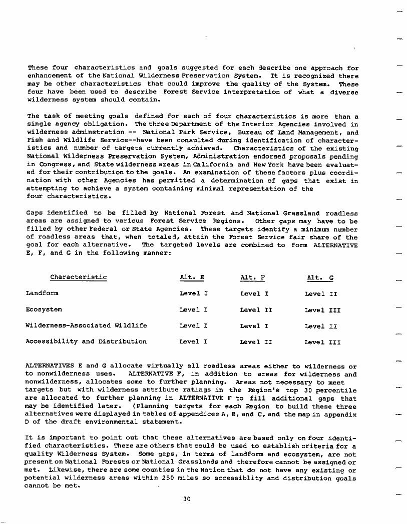
These four characteristics and goals suggested for each describe one approach for enhancement of theNational Wilderness Preservation System. It is recognized there may be other characteristics that could improve the quality of the System. These four have been used to describe Forest Service interpretation of what a diverse wilderness system should contain.
The task of meeting goals defined for each of four characteristics is more than a single agency obligation. The threeDepartment of the Interior Agencies involved in wilderness adminstration -- National Park Service, Bureau of Land Management, and Fish and Wildlife Service--have been consulted during identification of character- istics and number of targets currently achieved. Characteristics of the existing National Wilderness Preservation System, Administration endorsed proposals pending in Congress,and Statewildernessareas inCalifornia and NewYork havebeen evaluat- ed fortheircontributiontothe goals. An examination of these factors plus coordi- nation with other Agencies has permitted a determination of gaps that exist in attempting to achieve a system containing minimal representation of the four characteristics.
Gaps identified to be filled by National Forest and National Grassland roadless areas are assigned to various Forest Service Regions. Other gaps may have to be filled by other Federal or State Agencies. These targets identify a minimum number of roadless areas that, when totaled, attain the Forest Service fair share of the goal for each alternative. The targeted levels are combined to form ALTERNATIVE E, F, and G in the following manner:
Characteristic
-
-
-
-
Alt. G -
Landform Level I Level I Level II
Ecosystem Level I Level II Level III
Wilderness-Associated Wildlife Level I Level I Level II
Accessibility and Distribution Level I Level II Level III
ALTERNATIVES E and G allocate virtually all roadless areas either to wilderness or to nonwilderness uses. ALTERNATIVE F, in addition to areas for wilderness and nonwilderness, allocates some to further planning. Areas not necessary to meet targets but with wilderness attribute ratings in the Fkgion’s top 30 percentile are allocated to further planning in ALTERNATIVE F to fill additional gaps that may be identified later. (Planning targets for each Region to build these three alternativesweredisplayedintablesofappendicesA,B,and C,and themapin appendix D of the draft environmental statement.
It is important to point out that these alternatives arebased only onfour identi- fied characteristics. Thereareothers that could be used to establishcriteria for a quality Wilderness System. Some gapsr in terms of landform and ecosystem, are not presentonNationa1 ForestsorNational Grasslandsand thereforecannot beassignedor met. Likewise, thereare somecountiesintheNationthat do not have any existing or potential wilderness areas within 250 miles so accessiblity and distribution goals cannot be met.
-
-
30
ALTERNATIVE H is designed to respond to regional and local needs. It allocates roadless areas eitherto wilderness,to nonwilderness uses, or to further planning, based on factors which include:
Regional commodity and recreation tradeoffs Local socialandeconomiceffects Concernsof special interest groups Industry needs for natural resources State and local government positions Prospective resource management programs
I These factors are the Forest Service's interpretation of specific issues involved. (They were discussed further in State or geographic area supplements to the draft environmental statement.)
ALTERNATIVE Iisdesigned to addareas with thehighest wilderness attribute ratings to the Wilderness System. This alternative gives secondary consideration to areas with veryhigh resource outputs. Poadless areas with a composite wilderness attri- bute rating in the top 50 percentile of all areas within a Region are considered for allocation to wilderness. Areas are also evaluated for high resource output potential before they are allocated to wilderness. Roadless areas in the top 50 percentile of attribute ratings that have any one of the following resource values were not allocated to wilderness but will be identified for further planning considering all options. Areas remaining following this resource screening were recommended for wilderness.
1. Proven minerals.
2. Producing mines.
3. Proven energy-related mineral reserves such as oil, gas, geothermal, coal, or uranium.
4. Producing energy-related areas.
5. Potential timber yield in the top 5 percentile of roadless areas within the Region.
6. Potential grazing.use in the top 5 percentile of animal unit months for the Region.
Roadless areas that do not have high wilderness attribute ratings as defined above are allocated to nonwilderness uses. Alternative I is oriented toward selecting those areas with high wilderness attribute ratings for wilderness but does reflect a concern for maintaining resource outputs in those areas where resource values are very high.
I PROPOSED ACTION (PA) is built upon the analysis of public comment received on alter- native approaches displayed in the draft environmental statement and site specific commentonindividualroadlessareas. Coupledwith these factors aredecision criteria
31
-
-
established in the previous section of this statement and professional judgment of Department of Agriculturepeopleresponsible for management of the National Forest system. Public response to the draft environmental statement alternative approaches is displayed in appendix U. Commenton the preferredallocation of specific roadless areas beginsonpage U-6. Theseappendices only summarize comment received during the RARE II process. The complete analysis and display tables may be reviewed in the Washington Cfficeofthe Forest Serviceorat its RegionalandForest Supervisoroffices throughout the country.
Public response directed toward alternative approaches was placed in three major categories: (1) those that would allocate areas to wilderness, (2) those that would allocate areas to nonwilderness uses, and (3) those that were either non- directional or multi-directional in character. Approximately 35 reasons for support of approaches were identified as important in adding roadless areas to the National Wilderness Preservation System, almost 20 directed areas to nonwilderness and 14 were considered nondirectional.
-
-
-
The most heavily supported factors for adding areas to the NWPS, other than a desire for maximm or total wilderness, were a need to emphasize scenery, provide high quality areas, and maximize diversity of characteristics within the System. These sets of factors were determined to be best met by using alternative I.
The most often supported factors for allocating roadless areas to nonwilderness uses, again other than a desire for all nonwilderness, were a need to emphasize economics and jobs, timber values,accessibility,and commodity outputs. These sets of factors are best met using an approach that maintains resource outputs by allocating high commodity value areas to nonwilderness. The approach of alternative C best reflects these factors.
An analysis base was provided, using a combination of alternatives C and I as the startingpoint, foreach Regional Forestertodeveloptwoanalysisdisplays. The analysis base consisted of listings of roadlessareasallocatedtowilderness, tononwilderness, and to furtherplanning. Itwasprovided tothe PegionsonCctober27, 1978. The analysis base included in the wilderness category those areas proposed for wilderness in both Alternatives Cand I. Itincludedin the nonwilderness category those areas allocated to nonwildernessin bothAlternatives CandI. Allotherareaswereallocatedto further planning. The analysis base wasonly the startingpoint toevaluate roadless areas and produce two analysis displays for each Forest Service Region.
The next step in development of the Proposed Action was to apply decision criteria specifiedin Section IIIof this statement to the analysis base at the Regional level. To insure that the degree of importance ,assuggested bypublicresponse was reflected to each criterion, thecriteriawere applied to the analysis base in reverse order of their import. This allowed the more important criteria to modify the displays. The followingstepsreflect the sequential application to the analysis base. Thosewhowish to see themovementofroadlessareas through thisentire process may follow it step by step at appropriate Forest Service Regional Offices.
Step 1. The analysis basewasmodified toreflect strongsite specific public response by allocating to wilderness, nonwilderness, or further planning those areas where 85 percent or more of the total signatures on site specific input favored one
-
-
-
-
32
classification or another. Then,the analysisbase was modified to reflectmoderate site specificpublic responseby allocatingto wilderness , nonwilderness, or further planning, those areas where 71 percent or more of the total signatures on site specificinput favoredoneclassificationoranother. Completionof this stepresulted in twopreliminaryallocationlistsreflectingtwodifferentlevelsofpublicresponse. Each was carried through the remaining steps independently to produce two analysis displays.
Step 2. The Regional Forester reviewed the preliminary allocations made in Step 1 and determined if he had compelling reasons to believe there were inappropriate allocations made in that they differed from his perception of public agreement. Local versus nonlocalresponse , personalversus formletter, andquantity of response for a specific area were evaluated. If he felt allocations varied significantly from public preference,he adjusted thelist accordingly as long as each adjustment and the reason for making it was documented.
Step 3. Insuredmid-level (II) target for the accessibility/distribution character- istic and low-level (I) targets for landform, ecosystem, and wilderness associated wildlife characteristics were met by allocation of roadless areas to wilderness. If all targets were not met, appropriate areas from the further planning, or if needed, the nonwilderness category were added to the wilderness category. Consid- erationwas giventohowwelleachareareflectedthe characteristic,publicpreference, social and economic implications, opportunity costs, wilderness attribute ratings, potential commodity outputs, and other important elementsbefore the allocation was made.
Step 4. National Grasslandroadless areas allocated to wildernessthatwere not the only area available to meet any characteristic target identified in Step 3 were reallocatedtofurtherplanningunlesspreviouslyevaluatedthroughthelandmanagement planning process. If the planning process had been completed, areas were instead allocated to nonwilderness.
Step 5. Adjust Roth listswereadjustedsoareasinthefurtherplanning category with Wilderness Attribute Ratingsinthe top30percentileofareas accordingtothe Region's WARS scoresweremovedtothewildernesscategory. Then, thelistswereadjustedtomove areas in the nonwilderness category inthe top 5 percentile of areas accordingtothe Region's WARS scores to the further planning category.
Step 6. This step insured adverse impacts of commodity losses were reduced and displacement of dependent communities avoided. The initial phase of this step was tomoveareas from the wilderness category, if they had proven, producing, or high potential hardrock mineral values, oil, gas, or other energy resources, to the further planning category. The basis for this determination was a rating of 81 to99 for just one of the mineral values or energy resources, or 70 or higher intwo or more except for bulkmaterials. (These ratings were discussed previously on page22). Any area witha rating of 100, otherthan for low value bulk minerals, was placed in the nonwilderness category.
33
-
The second part of this step determined those areas in the further planning category that if allocated to wilderness would have a demonstrated, significant adverse impact on employment and community stability and moved them to the nonwilderness category. Any areas remaining in the wilderness category that would have a significant adverse impact on employment and community stability if allocated to wilderness were moved to the nonwilderness category. The precise definition of "significant" was left to the Regional Foresterasit varied greatlyin differentparts of the country. Rationale for individual adjustments in this step were documented within Regions to explain why the impact was determined to be significant and how it was demonstrated.
7. Step Allocation lists were reviewed at this step to insure the combination of both the wilderness and further planning categories would allow the Forest Service to meet its 1975 RPA mid-level program goal for wilderness in the year 2015. If it could not be reached, areas were moved from nonwilderness to further planning to avoid foreclosing the goal.
The second phase of this step was to review the lists to determine if the Regions could achieve the roadless areas share of the 1975 RPA timber, developed recreation, dispersed recreation, and grazing program goals. Goals assigned for the year 2015 were utilized with exception of the timber goal which used the 1985 programmed saw- timber harvest level. If goals could not be met with allocations, areas were be moved from wilderness to further planning to insure opportunity was not foreclosed.
Step 8. The two allocation lists were reviewed to determine if there were compelling reasons to move roadless areas from either the wilderness or nonwilderness category to further planning. Professional judgement was a primary criterion and included further analysis of industrial displacement or loss, substantial public disagreement, or other factors the public pointed out as being important in decisionmaking. Examples of such factors included considerationof theexisting Wilderness Systemasit affectswilderness supplyand demandinaparticularstate, developnent/opportunity (suchas DORS), Congres- sionally designated wilderness studyareas,consideration of areas adjacent to existing wildernesses, essential boundary adjustments, and potential for nonwilderness snow related recreation opportunities that are in limited supply in the state. The further planningcategorywas likewisereviewed to determineif the same types of considerations should be used to move areas into either the wilderness or nonwilderness category. Adjustments made at this step were clearly identified with rationale and justification for making the adjustment fully documented.
Step 9. The two analysis displays were evaluated, with the ten alternative approaches displayedin the draftstatement,against the decision criteria. If Regional evaluation revealed that either display did not better meet the decision criteria than the other alternativeapproaches,stepsin thisprocess were reviewed and repeated where necessary to insure displays were responsive. Documentation of the remedial action taken was a part of the process.
-
-
-
-
-
-
-
-
-
-
-
-
Step 10. The two analysis displays resulting from this process were forwarded to the Washington .Mfice byeach F&gion. At that time, thenationalissuescriterionwasapplied to the aggregated displays. Qriteria identified as national issues--housing starts, balances of trade, returns to the treasury, inflation, and national employment impacts --couldnot bedisaggregated foruse at the Regional levelsohad tobeappliednationally.
34
Analysis displays became the basis for decisionmaking sessions involving Regional Foresters, Chief of the Forest Service and his Washington Office Staff, and Depart- ment of Agriculture representatives. Thisdecisionmaking group evaluated both dis- plays and considered local, regional, and national needs and interests to finish allocation of each roadless area to either wilderness, nonwilderness, or further planning. The result was selection a of proposed action that was carried through the remainder of the BARE II process. It was evaluated against other alternatives leading to selection of the proposed action displayed in Section VII of this final environmental statement.
The following portion of the environmental statement discusses allocation of the roadless areas in eachalternative. (Allocation of individual roadless areas through implementation of alternatives A through J may be found in the twenty individual supplementstothe draft environmental statement.) Allocation of each roadless area created by the proposed action is displayed in state appendices attached to this statement. Thenumberofroadless areas allocated bythe proposedaction isdifferent than thoseallocated by A through J becausetheinventoryhasbeen updatedandrevised subsequent to filing the draft environmental statement.
Alternative A. Thisalternative describestheno-action situation wherein no roadless areas are allocatedeitherto wilderness or nonwilderness uses. Bowever.,the 34road- less areas in the supplemental list are allocated to nonwilderness uses as decided in approved land management plans. Allocation of the remaining2,652 areas will be decided as a part of the land management or project planning process. Development of these roadless areas, except as authorized by existing prior rights or law, may not take place until land management or project plans developed through the NEPA process are completed.
Alternative B. This alternative allocates all 2,686roadless areasto nonwilderness use. Alternative B does not provide for any additions to the National Wilderness Preservation System.
AlternativeC. Thisalternativerecommends697roadlessareas consisting of 8,989,438 acres for wilderness. Itallocates 1,833 roadless areas containing42,116,816 acres to nonwilderness use and 156 areas with 10,982,323 acres to further planning.
AlternativeD. This alternative recommends587areas containing11,832,637 acres for wilderness.This alternative allocates 1,710roadless areas with 26,913,847 acresto nonwilderness use. It also allocates389 areastotaling23,342,093 acres to further planning.
Alternative E. This alternative recommends 88 roadless areas containing 3,418,584 acres for wilderness. It allocates 2,597 roadless areas with 58,666,768 acres to nonwilderness use. One area containing3,225acres is allocated to further planning for all options.
35
-
Alternative F. This alternative recommends 183roadless areas consisting of 5,328,609 acres for wilderness. Alternative F allocates 1,982 areas with 34,421,117 acres to nonwilderness uses and 521 areas that contain 22,338,851 acres are allocated to further planning for all uses.
Alternative G. This alternative recommends 337 areas containing 13,142,835 acres for wilderness. Italso allocates2,347roadless areas of 48,936,157acresto nonwilderness use. Alternative G allocates two areas with 9,585 acres to further planning.
-
-
-
-
Alternative H. In response to perceived local and regional issues, this alternative recommends290roadless areas containing9,911,523 acres for wilderness. AlternativeH allocates2,285areasof 45,165,598acresto nonwilderness use and 138areas containing 7,011,456 acres to further planning.
The total number of areas inthis alternativehas increased duetoboundary adjustment and roadless area subdivision. Thisdividing of areashasbeendoneto remove parts of areas to enhance wilderness quality, segregate controversial segments, or accomodate specific resource needs or programs.
Alternative I. This alternative recommends 959 roadless areas containing 20,638,051 acres forwilderness. It allocates 1,SOlareasof 22,706,85lacrestononwilderness use. Alternative1 allocatesthe remaining226 areas containing18,743,675 acres to further planning.
Alternative J. This alternative recommends all 2,686 roadless areas for wilderness. AlternativeJ doesnotprovide foranyof theareastobemade available for nonwilderness uses or for further planning.
Proposed Action (PA). The proposed action recommends 624 roadless areas containing l5,088,838acres forwilderness. It allocates 1,981roadlessareas containing36,151,558 acres to nonwilderness use and 314 areas with 10,796,508 acres to further planning. Again, the total number of roadless areas and acreage involved is different than the other alternativesduetoinventory update and further subdivision orboundary adjust- ments for specific roadless areas.
-.
-
-
- Comparisonof Alternatives. ,The following charts presenta graphic comparison ofroad- less areaallocations. The topchart displaysnumber of areas allocatedwhilethebottom chart showsallocationby acreage, bothin percentof the total. Although Alternative A takes noactionand treatsroadlessareasasif RARE II didnotexist, it doesshow areas previously allocated tononwilderness use through thelandmanagementplanning process.
36
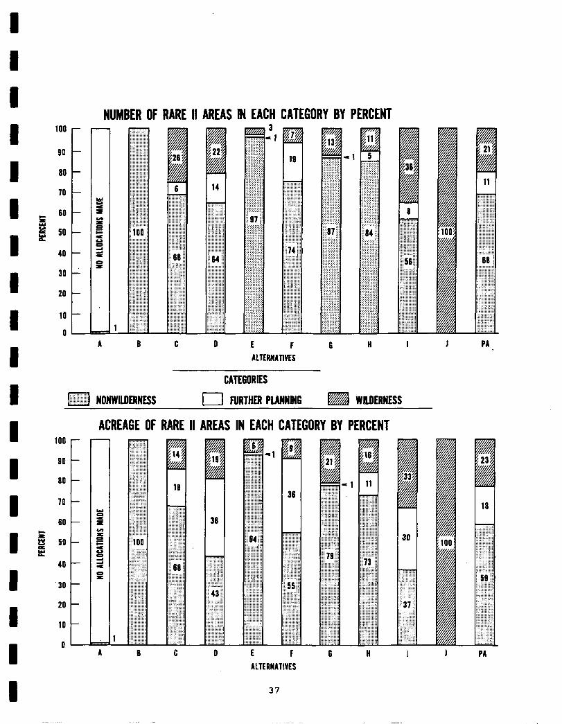
100 -
go -
60 -
70 -
c NJ- = P is! 5o
40 -
30 -
20 -
10 -
o-
NUMBER OF RARE II AREAS IN EACH CATEGORY BY PERCENT
14
y:::::.::::: //jr/: :/jj; ::::::.::::: :::::::i:::: i::::::::::: :::::::::::: :::::::::::: ::.::::::::: :::::::::::: ij:jjjj/ij:j :::::::::::: :::::::::::: .::::::::::: :::.:::::::: i::::.:::::: :/ j: ii 64 j; j/ :::::: ::/j :::::::::::: y::::::::::: :::::::::::: :::::::::::: :::::::::::: ::: :::::::: : : : . . . . . . . . . . . .::::::::::: :::::::::::: :::::::::::: :::::::::::: :::::::::::: :::::::::::: :::::::::::: ::::.::i:::: ::::.::::::: : : : ..:::.::: ::::::::::: ::::::::::::
A 6 C 0 E F 6 II I I PA
ALTERRATMS
CATECORIES
:::::::::.::: . +i;;;;;j NO~~~NE$s I FURTHER PLANWING m WILDERNESS
ACREAGE OF RARE II AREAS IN EACH CATEGORY BY PERCENT 100 -
go -
60 -
70 -
60 - r’ Y so- s
40 -
‘30 -
20 -
10 -
O-
: .::::::::: +;z;;;; : : : : : : :
.::: ::::::::.::: i::::::::::: :::::::::::: :::::::::::: : : :. :.
. . . . . . . . .
::: :::.::.:: :::::: ::: :::::: :::: ::::::.,,:i:
,.., :::::::::::: :::::::::::: ,. :::::::,:::: :::::::_:::: ::::::::::::
::.:.::::::: :::,::::::::
:_:::::::::: :::::::::::: : :
;!‘oo
:::::::::::: :::::::::::: :::::::::::: ,~~~~~~~~~~~ :::::::::::: :::::::::::: . . . :::::,: :::: :::::, ii::: :::._::::::: :::::::::::: :::::::::::: :::::::::::: :::::::::::: : : : : : : : : : :
:::::::::::: :::::::::::: : /://jj//j
::::::::::::
+;;;;;;;ii
:::::.:.:::: :::::::::::: :
6 C cl E F 6 II
ALTERNATIVES
37
1 A $33 v i
36
Y?Y ::::: :, :::::.:: ,:::: .:. ::: ii .:.: .::: .:. .::’ 37 ::.., : /.:,:/j .::i:::: ::::::.: ::::: :’ .::::::: :::::::: :v:::::: &
I 1 PA

I v. EFFECTS OF IMPLEMENTATION
I Effects of implementing various alternative approaches must be exploredprimarily fromthe standpointofwilderness versus nonwilderness allocations. If a roadless areais recommended for wilderness, the wilderness values will be preserved at
I
the expense ofother, usually consumptive resource values thatwon't be realized. Ifanarea is allocated to nonwilderness uses, some or many wilderness values may be foregone. This 'is the most direct way of exploring primary tradeoffs
I
involved in allocation of PARE II roadless areas.
A simple statementofretaining or foregoing wilderness valuesdoes not adequately evaluate the allocation of roadless areas. The allocation process must explore
I potential resource outputs that will be given up if an area is recommended for wilderness. Likewise, irretrievable wildernessvalues that may be given up if an area is allocated to nonwilderness uses also must be analyzed. Each alternative
I
has a primary effect on the balance of commodity and noncommodity uses that are potentially available fromroadlessareas. Roadless areas also maybe allocated to further planning, an allocationthatwill delaydecisions ofpotential use pending
1
outcomeof landmanagementorprojectplanning processes. When areas are allocated to further planning, issues and trade-offs identifiedabove will bedelayed until planning meeting NEPA requirements is completed.
I There are secondaryeffects thatalsomayresultfromimplementationof thedescribed alternatives. Theseeffectsnormallyimpact thephysicaland biologicalenvironment and may be caused by activities permitted as a result of a planning decision.
I
Secondary effects are much more difficult to quantify since an allocation of a roadless area to nonwilderness use does not determine how the area will be managed, onlythatitwillnot become wilderness. Awide range of possible manage- ment options exist for use of the land. Effects of some of there uses have been evaluated through prior planning efforts. As a general rule, secondary effects are greatest in roadless areas where more intensive management is permitted.
It is not possible to identify all potential impacts from management activities that couldoccurifaparticularroadlessarea was allocated to nonwilderness uses. Actualuse and management of each roadless area is not specifically determined by
I
allocationsmade through RAPE II. Ifandwhenanarea is allocated to nonwilderness use, developaaent and utilization is constrained by existinglaws such asMultiple Use Sustained-Yield Act, NEPA, and the National Forest Management Act. National
I
policies, such as found inthe Code of Federal Regulations, Executive Orders, and Forest ServiceManual, along with direction containedin currentor futurelandand resourcemanagementplanswiil directuseof theseareas. Areasarenotavailable for uncontrolleddeveloment butwill be guided bytheseexistinglaws,regulations,and
I policies. Existing management plans are available for review. Future land and resourcemanagementplansor projectplans willquantify andevaluate environmental effects..
I Effects of implementing various alternatives maybe either positive, negative, or both, depending on one's pointofview. Effectsthatare seen asbeneficial to one
I
segmentof thepublic maybe viewedasdetrimental by another. This section of the environmental statement seeks to objectivelydescribe potential outputs that could be realized and/or potential values foregone, dependent on specific roadless area allocationsimplementedwitheachalternative. Regardless ofallocation, resources
I 39
-
-
will continue to be protected and their long-term productivity assured. The following discussion of alternativeapproachesis directed towhethera roadless area will or will not be recommended for wilderness and the effects of making that allocation. If anareais allocated to nonwilderness use, the question of type and intensity. of use is notresolved by the RARE IIprocess andwillnot be an analysis factor. Neitherare management policies applied to National Forest System lands an issue.
This section discussespotential outputs, uses, and values realizedor foregone with each alternative and displays data for analysis of the alternatives under such headings as vegetation, timber, range, recreation, economics, and social. Potential outputs and impacts of alternatives are described for both present and long-termeffects. Present effects are those likely withcurrentmanagement intensities and technical capabilitiesin the short-run. Iong-term effects are those likely if current management plans and techniques are fully implemented. To make these effects visible, both gross output andneteffects of each alter- native are shown. Grosseffects are total outputs expected with the allocations proposed by each alternative. Net effects are the difference between either present or long-term outputs and increased or decreased outputs anticipated with each alternative. For example, the table on page 55 in the range section shows the present output of alternative C as 2,052.6 thousand AUM's, for a net effect or loss of 10.5 thousand ADM's (Present, 2,063.1, minus 2,052.6). Cal- culations are similarundereach heading forall the alternatives with a display of both present and long-term effects.
Landform. Allocation of roadless.areas to wilderness present an opportunity to preserve representative landform types in a natural, unaltered condition. Roadlessareasallocated to nonwilderness uses will not eliminate landfonn type but do present potential for degrees of modification, if roads are constructed or other management modifications are permitted.
Preservation inanatural,unaltered conditionof all landform types represented in RARE IIroadlessareaswill bebestachievedwithimplementation of alternative J. AlternativeBhaspotential fornotpreservinganyinanaturalstate. Iandform type will still bepresent but due to potential roadconstruction, logging, and other activities, it maynot appearinitsnatural, unmodified state. Actual use of the areas is not decided with this allocation but may range from intensive developmentononeextreme toroadless,, dispersedrecreationon theother. Imple- mentation of alternative A would not now produce any action. Options between these extremes, alternatives C through I, including the PA, will preserve or tend.to modify the natural appearance of varying numbers and differing types of landform. AlternativesE, F, and G are designed to achieve targeted assign- ments of landform representations while alternatives C, D, H, I, and the PA, by their very nature ofallocating some roadless areasto wilderness, will pro- vide additional landform representations and potential for varying degrees of impactdependenton area allocations. The followingtable shows, for each alter- native, percentage achievementof goals established forlandform representation.
-
-
-
40
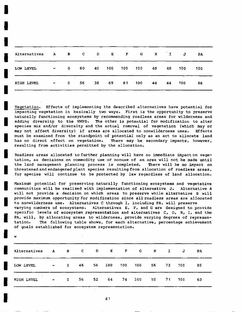
I Alternatives A B C D E F G H 'I J PA
LOW LEVEL 0 60 40 100 100 100 40 40 100 100
HIGH LcFWEL 0 56 38 69 81 100 44 44 100 86
Vegetation. Effects of implementing the described alternatives have potential for impacting vegetation in basically two ways. First is the opportunity to preserve naturally functioning ecosystems by recommending roadless areas for wilderness and adding di.versity to the NWPS. The other is potential for modification to alter species mix and/or diversity and the actual removal of vegetation (which may or may not affect diversity) if areas are allocated to nonwilderness uses. Effects must be examined from the standpoint of potential only as an act to allocate land has no direct effect on vegetation. There may be secondary impacts, however, resulting from activities permitted by the allocation.
Roadless areas allocated to further planning will have no immediate impacton vege- tation, as decisions on commodity use or nonuse of an area will not be made until the land management planning process is completed. There will be no impact on threatenedandendangeredplant species resulting from allocation of roadless areas, for species will continue to be protected by law regardless of land allocation.
Maximum potential for preserving naturally functioning ecosystems and vegetative communities will be realized with implementation of alternative J. Alternative A will not provide a .decision on which areas to preserve while alternative B will provide maximum opportunity for modification si-nce allroadless areas are allocated to nonwilderness use. Alternatives C through I, including PA, will preserve varying numbers of ecosystems. Alternatives E, F, and G are designed to provide specific levels of ecosystem representation and alternatives C, D, H, I, and the PA, will, by allocating areas to wilderness , provide varying degrees of represen- tation. The following table shows, for each alternative, percentage achievement of goals established for ecosystem representation.
W
I Alternatives A C I J
8 LOW LEVEL 0 46 56 100 100 100 56 73 100 85
D HIGH LEVEL - 0 56 52 64 74 100 50 71 100 63
41
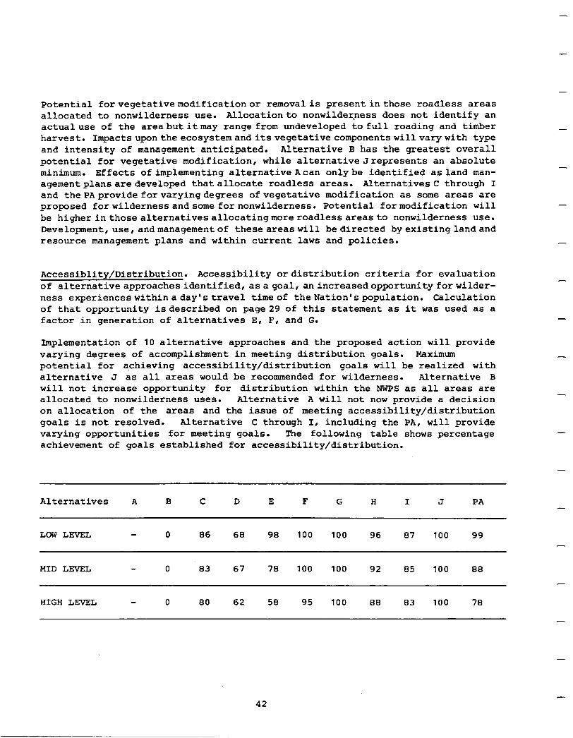
-
-
Potential forvegetativemodificationor removal is present in those roadless areas allocated to nonwilderness use. Allocationto nonwilderness does not identify an actualuse of the areabutitmay range from undeveloped to full roading and timber harvest. Impacts upon the ecosystemanditsvegetative components willvarywith type and intensity of management anticipated. Alternative B has the greatest overall potential for vegetative modification, while alternativeJrepresents an absolute minimum. Effects of implementing alternative Acan onlybe identified as land man- agementplansaredeveloped thatallocate roadless areas. AlternativesC through I and thePAprovide forvaryingdegrees of vegetative modification as some areas are proposed forwilderness andsome fornonwilderness. Potential formodification will be higher in those alternatives allocatingmore roadlessareas to nonwilderness use. Developmentruse, andmanagementof theseareaswill bedirected byexistinglandand resource management plans and within current laws and policies.
Accessiblity/Distribution. Accessibility or distribution criteria for evaluation of alternativeapproachesidentified, asagoal, anincreasedopportunityforwilder- ness experienceswithinaday'stravel timeof theNation'spopulation. Calculation of that opportunity isdescribed on page29 of this statement as it was used as a factor in generation of alternatives E, F, and G.
Implementation of 10 alternative approaches and the proposed action will provide varying degrees of accomplishment in meeting distribution goals. Maximum potential for achieving accessibility/distribution goals will be realized with alternative J as all areas would be recommended for wilderness. Alternative B will not increase opportunity for distribution within the NWPS as all areas are allocated to nonwilderness uses. Alternative A will not now provide a decision on allocation of the areas and the issue of meeting accessibility/distribution goals is not resolved. Alternative C through I, including the PA, will provide varying opportunities for meeting goals. The following table shows percentage achievement of goals established for accessibility/distribution.
Alternatives A B C D E F G H I J PA
LOWLEVEL 0 86 68 98 100 100 96 87 100 99
MID LEVEL 0 83 67 78 100 100 92 85 100 88
HIGH LEVEL 0 80 62 58 95 100 88 83 100 78
-
-
-
-
-
-
-
42
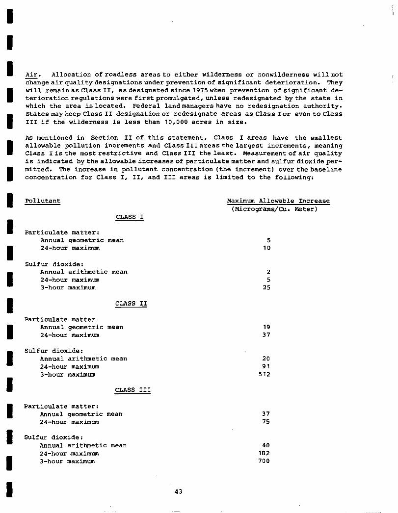
I- Air. Allocation ofroadless areas to either wilderness or nonwilderness willnot changeairqualitydesignationsunderpreventionof significant deterioration. They
I will remainasclass II, asdesignatedsince 1975when prevention of significant de- teriorationregulationswere firstpromulgated,unless redesignated by the state in which the area islocated. Federal landmanagershave no redesignation authority. StatesmaykeepClassII designationor redesignate areas as Class Ior eventoclass III if the wilderness is less than 10,000 acres in size.
I
As mentioned in Section II of this statement, Class I areas have the smallest allowable pollution increments and Class IIIareasthelargest increments, meaning Class Iisthe mostrestrictive and Class111 the least. Measurementofair quality is indicated bythe allowableincreasesofparticulatematterand sulfurdioxideper-
I mitted. The increase in pollutant concentration (the increment) overthebaseline concentration for Class I, II, and III areas is limited to the following:
I Pollutant Maximum Allowable Increase (Micrograms/Cu. Meter)
CLASS I
I Particulate matter: Annual geometric mean 5
1
24-hour maximum 10
Sulfur dioxide: Annual arithmetic mean 24-hour maximum 3-hour maximum
2 5
25
CLASS II
Particulate matter Annual geometric mean 24-hour maximum
I Sulfur dioxide:
Annual arithmetic mean 24-hour maximum 3-hour maximum
I CLASS-III
Particulate matter: Annual geometric mean 24-hour maximum
I Sulfur dioxide: Annual arithmetic mean 24-hour .maximum
I 3-hour maximum
19 37
20 91
512
37 75
40 182 700
43
Maximum allowable increases identified above may be exceeded only during one period per year at any specific location. The amount of industrial development or growth that may occur within the constraints of air classification categories is dependent upon the size of the permitted increment. Class I areas are most restrictive, Class II areas can accomodate moderate growth, and Class III areas provide for intensive developant. Industrial growth in any specific area is dependentupon increase or increment available, meteorology, complexity of terrain, and types of facilities and technology applied to them.
A concern of potential wilderness designation is the effect on construction or enlargement of such facilities as power plants, papermills, and smelters. The normal effect on these facilities when built considering climatic, locational, and other air qualityfactors will be minimal. The Environmental Protection Agency (EPA) has stated that large sources suchas power plants, pulp mills, andsmelters, when wellcontrolled, can generally locate within a Class II area without precluding future growth. It is essential to note that impacts anticipated are site specific to the geographic area ofmodeled air quality impacts. EPA also noted that sources of air quality contaminants that have difficulty locating in a Class II area may very well have difficulty even in a Class III area. A well controlled'source in rough terrain will have problems withnationalambient air quality standards if its plume impacts an adjacent hillside. The problem then is not with the Class II or III pennissable increment butrather with the site specific factors ofitslocation.
Allocation of roadless areas to nonwilderness use will not have an appreciable effect on air quality. Amount and intensity of current management practices such as slash disposal, prescribed burning, andotherland and resource management tools will not necessarily increase in scope but may only be relocated on a specific National Forest. These activities are transitory in nature and normally of short duration. They will, when undertaken as a controlled management activity,be plan- ned to take advantage of climatic and geographical factors to reduce potential for air quality degredation. The Forest Service will continue to meet site specific smoke management guidelines and air quality standards as a part of its land and resource management responsibilities.
It must also be recognized that in some large metropolitan areas such as the Los Angeles basin and in other localized situations wherean industrial use is located, it may not be possibleto controlairdegredation. Therefore, air reaching adjacent wilderness areas has been and may continue to be below acceptable standards. None of the alternative approaches will be capable of improving air quality in these situations.
In summary, implementation of alternatives A through J and the PA will not alter current air quality standards for the prevention of significant deterioration. Adjacent developmentwillnot beaffected bywilderness designation sincedesignation per sewillnotchange air quality designations underpreventing significant deterior- ation. Status quo will be maintainedinterms of air quality standards for an area. Neitherwillallocationofroadlessareastononwildernessusealterair quality within and adjacent toNational Forests. Managementactivitiesthatare normally short-term and transitory willcontinuetotake place atabout the same rate of intensity ashas occurredinthe recent past. The management activity will now, in all likelihood,be relocatedinto areas previously undeveloped. This action would reflect a potential only as allocation to nonwilderness uses will not prescribe types of activity permitted.
-
-
44
I I
Management of these areas will be prescribed by more intensive land and resource managementplans either currently in existence ortobe preparedas a continuation of the National Forest System planning process.
Environmental Amenities. Implementation of anydescribed alternative or proposed action may have a direct effect on other amenities as described in Section II of this statement. Activities permitted by allocation of roadless areas to nonwil- dernessuseshavepotential toimpact thesevalueswhile areas allocated to wilder- ness will tend to preserve amenities in a natural condition.
Effects on senses of taste and touchwillnotnormallybe altered by management of National Forest Systemlands. Potential impact on smell and the visual aspect of air quality have been discussed under previous headings and need not be repeated here.
Managementof thevisualresource isdirected by current Forest Service guidelines designed to reduce the impact of management activities. Direction is applied equally to all alternative approaches with both wilderness and nonwilderness al- locations so that differences in application of landscape management principles are not a factor. There is adifference in potential impacts associatedwith allo- cation of roadless areasto wilderness and nonwilderness uses. Areas recommended for wilderness will be managedin a natural state, virtually precluding potential for manmade visual impacts. Areas will be preserved with primary visual changes being a result of natural processes. Areas allocated to nonwilderness use may experiencevisualchangeaspermittedactivitiesare conductedwithin areas. Degree of change allowedwill bedependentupon visual variety and visitor sensitivity to changeasthe resource is inventoriedandvisualquality objectives are established through implementation of thevisual Management System. Alternative J recommends all roadless areas for wilderness and will retain most natural visual appearance while alternativeB recommending all for nonwilderness useshas potential to most drastically alter the visual resource. Alternatives between these extremes, includingthe proposedaction, will preserve varying amounts of land in a natural visual state depending on number of areas recommended for Milderness.
Potential for increased noise impacts is greatest with alternative approaches allocating the most area to nonwilderness uses. Probability of additional road access, recreation site development, and other forms of resource management activitiesincreaseswith these allocations, resulting in potential for increased noise impacts. Bywayofcontrast, areas recommended for andeventually classified wilderness will reduce noise potential as motorized vehicles and other forms of management activities are prohibited. As pointed out throughout this analysis, alternatives that allocate the most area to nonwilderness use have the greatest potential while those allocating more areas to wilderness exhibit the least. Roadless areas that have effectively buffered Wildernesses, National Parks, and remote recreation areas and are now to be made available for nonwilderness use increase potential for noise impacts within these previously quiet areas.
ResourceUses. Potentialresourceoutputsare quantifiable effects of implementing a seriesofalternatives. Theoutputsareidentified bothaspotentialopportunities that could be realizedwithnonwilderness allocations and potential opportunities foregonewithwildernessallocations. Comparison of alternatives canbe made using
45
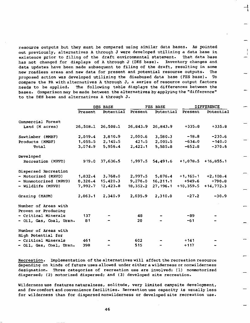
resource outputs but they must be compared using similar data bases. As pointed out previously, alternatives A through J were developed utilizing a data base in existence prior to filing of the draft environmental statement. That data base has not changed for displays of A through J (DES base). Inventory changes and data updates have been made subsequent to filing of the draft, resulting in some new roadless areas and new data for present and potential resourse outputs. The proposed action was developed utilizing the disabused data base (FES base). To compare the PA withalternatives A through J, a series ofresource output factors needs to be applied. The following table displays the differences between the
Comparisonmay bemade between thealternativesbyapplyingthe "difference" bases.
-
-
-
to the DES base and alternatives A through J.
DES BASE Present Potential
FES BASE DIFFERENCE Present Potential Present Potential
Commercial Forest Land (M acres)
Sawtimber (MMBF) Products (MMBF)
Total
Developed Recreation (MRVD)
Dispersed Recreation - Motorized (MRVD) - Nonmotorized (MRVD) - Wildlife (MRVD)
Crazing (MAUM)
Number of Areas with Proven or Producing - Critical Minerals
26,508.l 26,508.l 26,843.g
2,019.4 3,810.g 1,055.5 2,145.5 3,074.g 51956.4
919.0 37,636.5
1,832.4 3,768.O 8r326.4 15,420.3 7,992.7 12,423.8
2,063.l 2,340.g
2,000.6 421.5
2,422.l
1,997.5 54,491.6 +1,078.5 +16,855.1
2,997.5 9,276.O
18,352.2
2,035.g
137 48 -89 20 -61 - Oil, Gas, Coal, Uran. 81
Number of Areas with High Potential for - Critical Minerals 461 - Oil, Gas, Coal, Uran. 398
602 +141 515 +117
26,843.g +335.8 +335.8
3,580.3 -18.8 -230.6 2,005.5 -634.0 -140.0 5,585.8 -652.8 -370.6
5r876.4 +1,165.1 +2,108.4 16,211.l +949.6 +790.8 27,196.l +10,359.5 +14,772.3
2,310.O -27.2 -30.9
Recreation. Implementation ofthealternativeswill affect the recreationresource depending on kinds offutureusesallowed undereitherawildernessornonwilderness designation. Three categories of recreation use are involved: (1) nonmotorized dispersed; (2) motorized dispersed; and (3) developed site recreation.
Wildernessuse featuresnaturalness, solitude, very limited campsite development, and fewcomfortandconvenience facilities. Recreationuse capacity is usually less for wilderness than for dispersednonwilderness or developedsite recreation use.
46
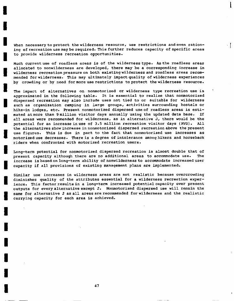
When necessarytoprotect thewilderness resource, use restrictions andeven ration- ing ofrecreationusemaybe required. This further reduces capacity of specific areas to provide wilderness recreation opportunities.
Much currentuse of roadless areas is of the wildernesstype. Asthe roadless areas allocated to nonwilderness are developed, there may be a corresponding increase in wilderness recreationpressureon both existingwildernessand roadless areas recom- mended forwilderness. This may ultimately impact quality of wilderness experiences by crowding or by need formoreuserestrictions toprotect thewilderness resource.
The impact of alternatives on.nonmotorized or wilderness type recreation use is - approximated in the following table. It is essential to realize that nonmotorized dispersed recreation may also include uses not tied to or suitable for wilderness such as organization camping in large groups, activities surrounding hostels or hike-in lodges, etc. Present nonmotorized dispersed useof roadless areas is esti- mated atmore than 9million visitor days annually using the updated data base. If all areas were recommended for wilderness , as in alternative J, there would be the potential for an increaseinuse of 3.5 million recreation visitor days (RVD). All the alternatives showincreaseinnonmotorized dispersed recreationabove the present use figures. This is due in part to the fact that nonmotorized use increases as motorizeduse decreases. There is adegree of intolerance amonghikers and horseback riders when confronted with motorized recreation users.
Long-term potential for nonmotorized dispersed recreation is almost double that of present capacity although there are no additional areas to accommodate use. The increase isbasedonlong-term ability ofnonwildernessto accommodate increaseduser capacity if all provisions of existing management plans are implemented.
Similar use increases in wilderness areas are not realistic because overcrowding diminishes quality of the attributes essential for a wilderness recreation exper- ience. This factorresultsin a long-term increased potentialcapacity over present outputs for every alternative except J. Nonmotorized dispersed use will remain the same for alternative J asall areasarerecommended forwilderness and the realistic carrying capacity for each area is achieved.
47
I
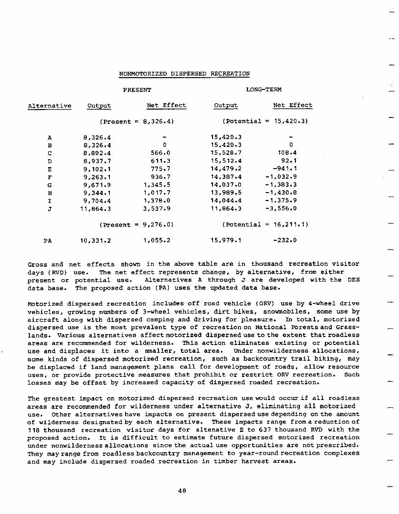
Alternative
A B C D E F G H I J
PA
NONMOTORIZED DISPERSED RECREATION
PRESENT LONG-TERM
output Net Effect output Net Effect
(Present = 8,326.4) (Potential = 15,420.3)
8r326.4 15,420.3 8,326.4 0 15,420.3 0 8,892.4 566.0 15,528.7 108.4 8r937.7 611.3 151512.4 92.1 9,102.l 775.7 14,479.2 -941.1 9,263.l 936.7 14r387.4 -1,032.g 9,671.g 1,345.5 14,037.o -1,383.3 9,344.l 1,017.7 13r989.5 -1r430.8 9,704.4 1,378.0 14,044.4 -1,375.g
11,864.3 3,537.g 11,864.3 -3,556.O
(Present = 9,276.0) (Potential = 16,211.l)
10,331.2 1,055.2 15,979.l -232.0
Gross and net effects shown in the above table are in thousand recreation visitor days (RVD) use. The net effect represents change, by alternative, from either present or potential use. Alternatives A through J are developed with the DES data base. The proposed action (PA) uses the updated data base.
Motorized dispersed recreation includes off road vehicle (ORV) use by I-wheel drive vehicles, growing numbers of 3-wheel vehicles, dirt bikes, snowmobiles, some use by aircraft along with dispersed camping and driving for pleasure. In total, motorized dispersed use is the most prevalent type of recreationon National Forestsand Grass- lands. Various alternatives affectmotorized dispersedusetothe extent thatroadless areas are recommended for wilderness. This action eliminates existing or potential use and displaces it into a smaller, total area. Under nonwilderness allocations, some kinds of dispersed motorized recreation, such as backcountry trail biking, may be displaced if land management plans call for development of roads, allow resource uses, or provide protective measures that prohibit or restrict ORV recreation. such losses may be offset by increased capacity of dispersed roaded recreation.
The greatest impact on motorized dispersed recreation usewould occur if all roadless areas are recommended for wilderness under alternative J , eliminating all motorized use. Other alternativeshave impacts on present disperseduse depending onthe amount of wilderness designatedby each alternative. These impacts range fromareductionof 118 thousand recreation visitor days for altenative E to 637 thousand RVD with the proposed action. It is difficult to estimate future dispersed motorized recreation under nonwildernessallocations since the actualuse opportunities are notprescribed. They mayrange from roadlessbackcountry management to year-roundrecreation complexes and may include dispersed roaded recreation in timber harvest areas.
-
-
-
-
-
-
-
-
-
-
-
-
-
-
-
48
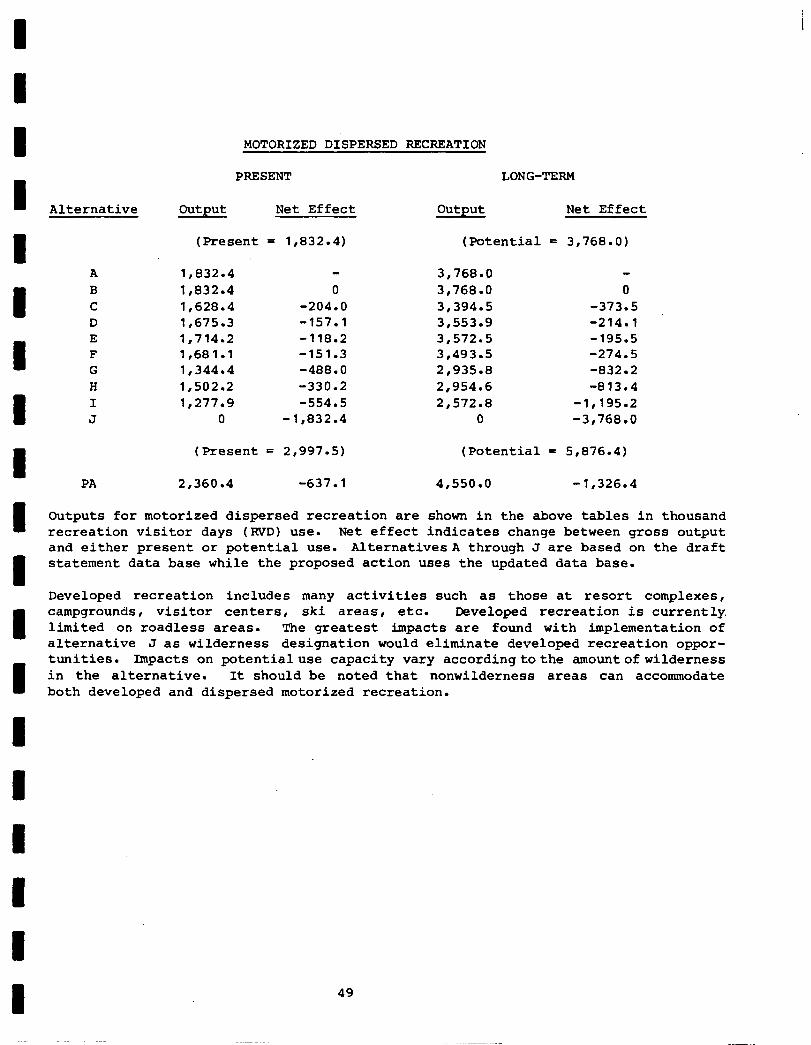
MOTORIZED DISPERSED RECREATION
PRBSENT LONG-TERM
Alternative Output Net Effect output Net Effect
(Present = 1,832.4) (Potential = 3,768.0)
A B C D E F G H I J
1,832.4 lr832.4 1,628.4 lr675.3 1,714.2 1,681.l 1,344.4 1,502.2 1,277.g
0
0 -204.0 -157.1 -118.2 -151.3 -488.0 -330.2 -554.5
-1r832.4
3,768.O 3,768.0 3,394.5 3,553.g 3,572.5 3,493.5 21935.8 2,954.6 2,572.8
0
0 -373.5 -214.1 -195.5 -274.5 -832.2 -813.4
-1,195.2 -3,768.0
(Present = 2,997.5) (Potential = 5,876.4)
PA 2,360.4 -637.1 4,550.o -1,326.4
Outputs for motorized dispersed recreation are shown in the above tables in thousand recreation visitor days (RVD) use. Net effect indicates change between gross output and either present or potential use. AlternativesA through J are based on the draft statement data base while the proposed action uses the updated data base.
Developed recreation includes many activities such as those at resort complexes, campgrounds, visitor centers, ski areas, etc. Developed recreation is currently limited on roadless areas. The greatest impacts are found with implementation of alternative J as wilderness designation would eliminate developed recreation oppor- tunities. Impacts on potentialuse capacity vary accordingtothe amountofwilderness in the alternative. It should be noted that nonwilderness areas can accommodate both developed and dispersed motorized recreation.
49
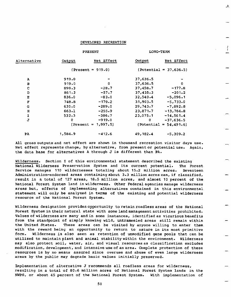
--
-
DEVELOPED BECREATION
Alternative
A B C D E F G H I J
PA
PRESENT LONG-TERM
output Net Effect
(Present = 919.0)
919.0 919.0 890.3 861.3 836.0 748.8 630.0 663.1 532.3
0 (Present =
0 -28.7 -57.7 -83.0
-170.2 -289.0 -255.9 -386.7 -919.0
1,997.5)
1,584.g -412.6 49r182.4 -5,309.2
output Net Effect
(Potential = 37,636,s)
37,636.5 37,636.5 0 37,458.7 -177.8 37,435.3 -201.2 32,540.4 -5,096.l 31,903.5 -5,733.0 29,743.7 -7,892.8 23,871.7 -13‘764.8 23‘075.1 -14r561.4
0 -37,636.5 (Potential = 54,491.6)
All grossoutputsand net effect are shown in thousand recreation visitor days use. Net effect representschange, by alternative, from presentor potentialuse. Again, the data base for alternatives A through J is different than PA.
Wilderness. Section I of this environmental statement described the existing National Wilderness Preservation System and its current potential. The Forest Service manages 110 wildernesses totaling about 15.2 million acres. Seventeen Administration-endorsed areas containingabout 3.3 millionacres can, if classified, result in a total of 127 areas, 18.5 million acres, and almost 10 percent of the National Forest System land inwilderness. Other Federalagenciesmanage wilderness areas but, effects of implementing alternatives contained in this environmental statement will only be analyzed in terms of the existing and potential wilderness resource of the National Forest System.
Wilderness designation providesopportunity toretainroadlessareas of the National Forest Systemintheirnatural state with somelandmanagementactivities prohibited. Valuesofwildernessare many andin some instances, identifiedas vicariousbenefits from the standpoint of simply knowing wild, untrammeled areas still remain within the United States. These areas can be visited by anyone willing to enter them with the reward being an opportunity to return to nature in its most primitive form. Wilderness is also seen as retention of unmodified gene pools that can be utilized to maintainplant and animal stabilitywithin the environment. Wilderness may also.protect soil, water, air, and visual resourcesas classification excludes modification,development , and intensive use of an area. Qmplete protection of these resources is by no means assured since overuse and abuse of even large wilderness areas by the public may degrade basic values initially preserved.
Implementation of alternative J recommends all roadless areas for wilderness, resulting in a total of 80.6 million acres of National Forest System lands in the NWPS, or about 45 percent of the National Forest System. With implementation of
50
I -
-
-
-
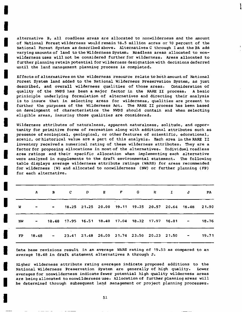
alternative B, all roadless areas are allocated to nonwilderness and the amount of National Forestwilderness wouldremain 18.5 million acres or10 percent of the National Forest System asdescribedabove. Alternatives C through Iand the PA add varyingamountsof land tothewilderness System. Roadless areas allocated to non- wildernessuses willnot be considered further for wilderness. Areas allocated to furtherplanningretainpotentialforwilderness designationwith decisionsdeferred until the land management planning process is completed.
Effectsofalternativesonthe wilderness resource relatetobothamountof National Forest Sjrstem land added to the National Wilderness Preservation System, as just described, and overall wilderness qualities of those areas. Consideration of quality of the NWPS has been a major factor in the RARE II process. A basic priniciple underlying formulation of alternatives and directing their analysis is to insure that in selecting areas for wilderness, qualities are present to further the purposes of the Wilderness Act. The RARE II process has been based on development of characteristics the NWPS should contain and when selecting eligible areas, insuring those qualities are considered.
Wilderness attributes of naturalness, apparent naturalness, solitude, and oppor- tunity for primitive forms of recreation along with additional attributes such as presence ofecological, geological, or other features of scientific, educational, scenic, orhistorical value are a part of this analysis. Each area intheRARE II inventory receiveda numerical rating of these wilderness attributes. They are a factor for proposing allocations in mostof the alternatives. Individualroadless area ratings and their specific allocation when implementing each alternative were analyzed in supplements to the draft environmental statement. The following table displays average wilderness attribute ratings (WARS) for areas recommended for wilderness (W) and allocated to nonwilderness (NW) or further planning (FP) for each alternative.
A B C D E F G H I J PA
W 18.25 21.25 20.00 19.11 19.25 20.57 20.64 18.48 21.90
NW - 18.48 17.95 16.51 18.40 17.04 18.32 17.97 16.01 - 18.76
FP 18.48 - 23.41 21.48 26.00 21.74 23.50 20.23 21.50 - 19.71
Data base revisions result in an average WARS rating of 19.55 as compared to an average 18.48 in draft statement alternatives A through J.
Higher wilderness attribute rating averages indicate proposed additions to the National Wilderness Preservation System are generally of high quality. Lower averages for nonwilderness indicate fewer potential high quality wilderness areas are beingallocated tononwilderness use. Allocationof furtherplanningareas will be determined through subsequent land management or project planning processes.
51
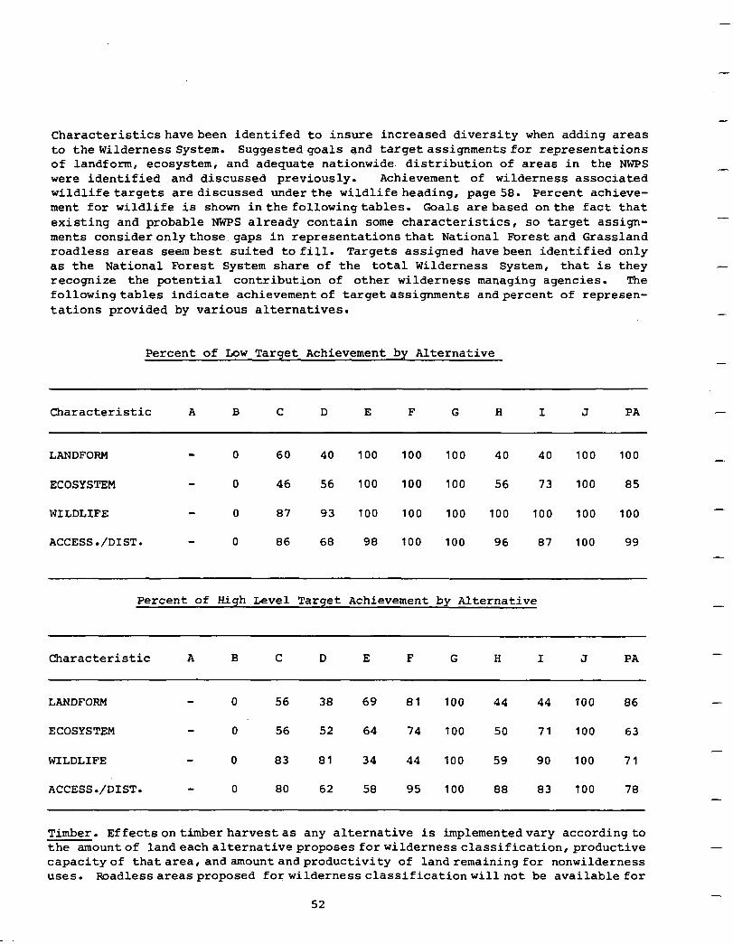
-
Characteristicshavebeen identifed to insure increased diversity when adding areas to thewilderness System. Suggestedgoals and target assignments for representations of landform, ecosystem, and adequate nationwide. distribution of areas in the NWPS were identified and discussed previously. Achievement of wilderness associated wildlife targets are discussed underthe wildlifeheading, page 58. Percent achieve- ment for wildlife is shown in the followingtables. Coals arebased onthe fact that existing and probable NWPS already contain some characteristics, so target assign- ments consideronlythose gaps in representations that National Fbrestand Grassland roadless areas seembest suited to fill. Targets assigned havebeen identified only as the National Forest System share of the total Wilderness System, that is they recognize the potential contribution of other wilderness managing agencies. The followingtables indicate achievementof targetassignments andpercent of represen- tations provided by various alternatives.
Percent of Low Target Achievement by Alternative
Characteristic A B C D E F G H I J PA
LANDFOPM 0 60 40 100 100 100 40 40 100 100
ECOSYSTEM 0 46 56 100 100 100 56 73 100 85
WILDLIFE 0 87 93 100 100 100 100 100 100 100
ACCESS./DIST. - 0 86 68 98 100 100 96 87 100 99
Percent of High Level Target Achievement by Alternative
Characteristic A B C D E F G H I J PA
-
-
-
-
-
-
-
-
-
-
-.
LANDFORM 0 56 38 69 81 100 44 44 100 86
ECOSYSTEM 0 56 52 64 74 100 50 71 100 63
WILDLIFE 0 83 81 34 44 100 59 90 100 71
ACCESS./DIST. - 0 80 62 58 95 100 88 83 100 78
-
-
-
Timber. Effectsontimberharvestas any alternative is implementedvary accordingto the amountof landeachalternativeproposes forwildernessclassification,productive capacityof thatarea,andamountandproductivity of landremainingfor nonwilderness uses. Poadlessareasproposed forwildernessclassificationwillnot be available for
52
timberharvestwhile areasallocated tononwilderness uses will be where permitted by current landandresourcemanagementplans. Areas identified for further planning may or maynot beavailable fortisnberharvest,dependenton completion of landmanagement or projectplansthatwillconsiderwilderness classification as one option for allor parts of the roadless area.
The accompanying table indicates commercial forest land acreage and timber volumes potentially available forharvest with implementation of each alternative. Volumes in millionboard feet are shown for both sawtimber and other forest products. Saw- timber refers to timber capable of being sawn into lumber while the term products generally refers to items smaller than sawlogs such as poles, cord wood, or timber harvest residuesthat may not be commercially merchantable as sawtimber. Potential effects of increased timber growth rates,better utilization, stronger markets, and improved fiber conversion technology are apparent in increases indicated between presentoutputand long-termtotal output. These increased yields reflect potential gains anticipated if existing timber management plans for each roadless area were fully implemented.
It should be noted there is a potential immediate increase of almost 628 million board feet shown for alternative B as compared to alternative A. This is due to timber in existing wilderness study areashavingbeendeferred, removing volume from the timberbaseutilizedindeveloping annualallowableharvestcalculations. A total of 4,983,000 commercial forest land acres of roadless areas are currently in the deferred category. They were placed in this category as a result of establishment of wildernessstudy areasboth bythe Forest Service inthe original RAREprocess and subsequent actions and by Congress. However, long-term yields shown in the table include potentialvolumes from all commercial forest land, even under alternative A, since the intentof analysis isto indicate whatwould be possible if all provisions of available management plans were implemented.
Areas designated for wilderness will be removed from the commercial forest land base and placed in a "deferred" category. Appropriate reductions in the annual program of timber harvest will be made. Where these areas were already in a deferredcategory, either as a resultof RARE I or subsequent Congressional action, there will be no impact on annual programed harvest.
Areas designated for nonwilderness will remain in the commercial forest land base. If theywere previously classedas "deferred," the productive lands will be returned to the commercial forest land base and the annual programed harvest will be in- creased accordingly.
Areas designated forfurtherplanningwillremaininthe commercial forest land base. m someNational Forests,administrativeadjustmentsinsaleprogramsmaybe necessary because of previous cutting patterns. There may not be sufficient areas, in some cases, to schedule the full allowable harvest because of unacceptable impacts on other resources.
Alternative J would have the greatest impact on timber harvest resulting in a present loss in programmed output of more than 3 billion board feet annually and a long-term potential loss of nearly 6 billion board feet. Other alternatives vary in their impacts and five of them, (B, C, D, E, and F) could increase present timber production from 22 to 628 million board feet. Long-term timber production
53
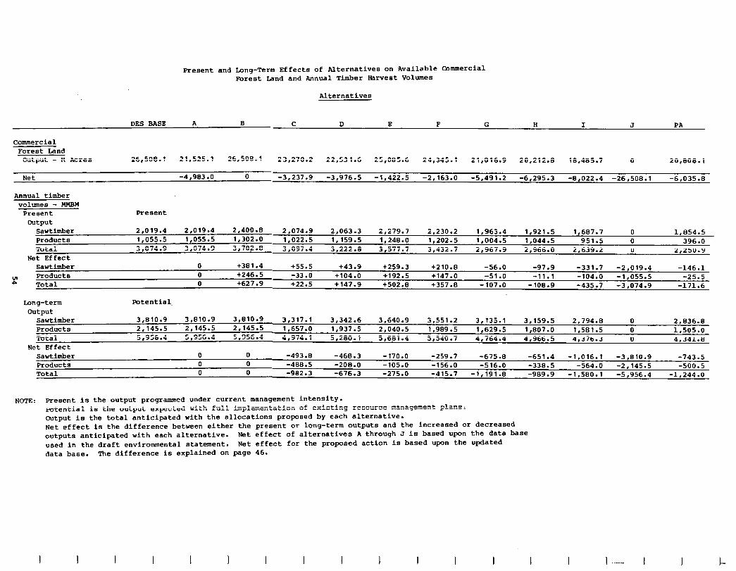
Present and Long-Term Effects of Alternatives on Available Bmmercial Porest Iand and Annual Timber barvest Volumes
Alternatives
Commercial Forest Land
output - M Acres
Net
Annual timber volumes - MMBM
Present Output
Sawtimber Products Total
Net Effect
DES BASE A B J C D E F G H I PA
26,508.l 21,525.l 26,508.l 23,270.2 22,531.6 25,085.6 24,345.l 21,016.g 20,212.a 18,485.7 0 20,808.l
-4,983 .o 0 -3.237.9 -3,976.5 -1.422.5 -2,163.O -5.491.2 -6,295.3 -8,022.4 -261508.1 -6,035.El
Present
2.019.4 2,019.4 2,400.B 2.074.9 2.063.3 2.279.7 2,230.2 1,963.4 1.921.5 1,607.7 0 1,854.5 1.055.5 1,055.s 1,302.O 1.022.5 1,159.5 1.2413.0 1,202.5 1,004.5 1.044.5 951.5 0 396 .O 3,074.g 3,074.g 3.702.8 3,097.4 3,222.E 3.577.7 3,432.7 2,967.g 2,966.0 21639.2 0 2,250.g
Sawtimber 0 +301.4 +55.5 +43.9 +259.3 +21o.a -56.0 -97.9 -331.7 -2,019.4 -146.1 p” Products 0 +246.5 -33.0 +104.0 +192.5 +147.0 -51 .o -11.1 -104.0 -1,055.5 -25.5
Total 0 +627.9 +22.5 +147.9 +502.8 +357.0 -107.0 -108.9 -435.7 -3,074.g -171.6
Long-term Potential. output
Sawtimber Products Total
Net Effect Sawtimber 0 0 -493.8 -468.3 -170.0 -259.7 -675.8 -651.4 -1,016.l -3,810.9 -743.5 Products 0 0 -488.5 -208.0 -105.0 -156.0 -516.0 -338.5 -564.0 -2,145.S -500.5 Total 0 0 -982.3 -676.3 -275.0 -415.7 -1,191.s -989.9 -1,580.l -5,956.4 -1,244.0
3,810.g 3,810.9 3,810.9 3,317.l 3,342.6 3,640.g 3,551.2 3,135.l 3,159.5 2.794.0 0 2,836.E 2,145,s 2,145.5 2,145.5 1.657.0 1,937.5 2,040.S 1,989.S 1,629.S 1,807.O 1,581.5 0 1,505.o 5,956.4 5r956.4 5,956.4 4,974.l 5,280.l 5r681.4 5,540.7 4.764.4 4r966.5 4.376.3 0 4.341.8
NOTE : Present is the output programmed under current management intensity. Potential is the output expected with full implementation of existing resource management plans. Output is the total anticipated with the allocations proposed by each alternative. Net effect is the difference between either the present or long-term outputs and the increased or decreased outputs anticipated with each alternative. Net effect of alternatives A through J is based upon the data base used in the draft environmental statement. Net effect for the proposed action is based upon the updated data base. The difference is explained on page 46.
I I I I I I I I I I I I ..-- 1 !-
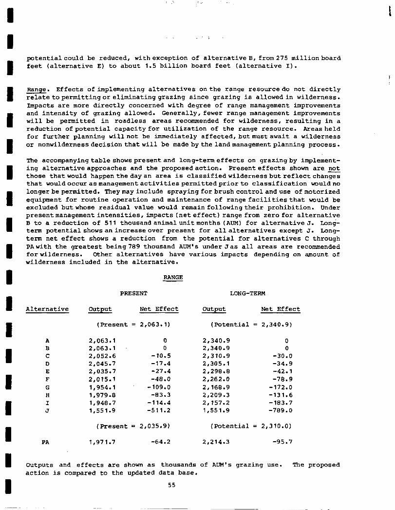
: .‘. ; . . .-
. ;
potentialcould be reduced, withexception of alternative B, from275 millionboard feet (alternative E) to about 1.5 billion board feet (alternative I).
Range. Effects of implementing alternatives onthe range resourcedo not directly relatetopermittingoreliminatinggrazing since grazing is allowedin wilderness. Impacts are more directly concerned with degree of range management improvements and intensity of grazing allowed. Generally, fewer range management improvements will be permitted in roadless areas recommended for wilderness, resulting in a reduction ofpotential capacity for utilization of the range resource. Areasheld for further planning willnot be immediately affected,butmustawait a wilderness or nonwilderness decisionthatwill be made bythelandmanagementplanning process.
The accompanyingtable showspresentand long-termeffects on grazing by implement- ing alternativeapproaches and the proposedaction. Presenteffects shown are, not those thatwould happenthedayan area is classifiedwildernessbutreflectchan= that wouldoccurasmanagementactivitiespermittedpriorto classification wouldno longerbepermitted. Theymayinclude sprayingforbrushcontrolanduse ofmotorized equipment for routine operation and maintenance of range facilitiesthat would be excluded butwhose residual value would remain followingtheir prohibition. Under presentmanagementintensities, impacts (net effect) range from zero for alternative B to a reduction of 511 thousandanimalunitmonths (AUM) for alternative J. Long- term potential shows anincreaseover present for allalternatives except J. Long- term net effect shows a reduction from the potential for alternatives C through PAwith the greatest being789 thousand AUM's under Jas all areas are recommended forwilderness. Other alternatives have various impacts depending on amount of wilderness included in the alternative.
RANGE
PRESENT LONG-TERM
Alternative Output Net Effect Output Net Effect
(Present = 2,063-l) (Potential = 2,340-g)
A B C D E F G H I J
2,063.l 0 2,063.l 0 2,052.6 -10.5 2,045.7 -17.4 2,035.7 -27.4 2,015.l -48.0 1,954.l -109.0 1.979.8 -83.3 1,948.7 -114.4 1,551.g -511.2
2,340.g 0 2,340.g 0 2,310.g -30.0 2,305.l -34.9 2,298.e -42.1 2,262.O -78.9 2,168.g -172.0 2,209.3 -131.6 2,157.2 -183.7 1,551.g -789.0
(Present = 2,035.g) (Potential = 2,310.O)
PA 1,971.7 -64.2 2,214.3 -95.7
Outputs and effects are shown as thousands of ALlM's grazing use. The proposed action is compared to the updated data base.
55
-
-
It should be noted the decrease in AUM's under alternative J is about 30 percent r under both present and potential management intensities. The next greatest effect is shown for alternative I and is closer to 10 percent. One effect of grazing under wilderness designation that needs to be pointed out is that some portion of the range capacity will probably be reserved in each area for allo- cation to recreation stock use, i.e., riding horses or pack stock. This same reservation will also be required in nonwilderness areas where the dominant use may be backcountry type dispersed recreation.
-
Water. Implementation of alternatives may affect both opportunities for water resource development and the quantity/qualitycharacteristics of water. Wilderness designation precludes water resource development facilities within the area unless specifically authorized by Presidential order or permitted by legislation desig- nating the wilderness. Thepotential forchangeinquantity/quality characteristics is greatest as roadless areas are allocated to nonwilderness use.
The opportunity foregone for water resource development such as hydroelectric power, municipal-industrial water supply, and irrigation water is greater in those alternatives recommending a larger number of areas for wilderness. Water resource development decisions will be deferred on those areas allocated to further plan- ning. Alternative B will not change the opportunity as all areas remain as nonwilderness. Alternatives C through I and the proposed action provide varying degrees of opportunity for development. The opportunity foregone will be greatest with Alternative J.
Provisions for development of water resources can be written into legislation designating specific areas for wilderness. The President may also authorize s development if he determines that it is in the Nation's best interest to allow the development. Water development facilities may be constructed outside an area to utilize the water resource originating within a wilderness area.
The potential for changing the quantity/qualitycharacteristicsof water is greater in thosealternativesrecommending a large number of areas for nonwilderness. Land management practicescarried outonnonwildernessareas may increase or decrease the quantityof wateroriginating from the areas andpeakor low-flow characteristics of streams. Land management practices may alS0 affect water quality and may actually improve waterqualityon thoseareascurrentlyproducingwater of poor quality. But, management practicesmayadversely affect water quality as they are conducted. The potential is greatest in the PARE IIalternatives withmore areas allocated to non- wilderness. Wilderness designation generally protects water quality in the short term but designation does not provide as many opportunities to improve water quality.
-
-
-
-
-
-
optimum quantity/qualitycharacteristicsof the water resource are best achieved on managed watershedswhere the.waterresourceis theprimarymangementobjective. Under this type of management, themost assuranceis provided that the water quantity and quality will be maintained. Although alllandsallocatedtononwildernesswill not be managed primarily for the water resource, the allocation provides a greater oppor- tunity to assure maintenance of the water resource. All nonwilderness lands are managed under a policy to control degradation of the water resource.
56
In the short term, retention ofwater quantity/quality in its present state isbest assured throughimplementation ofalternativeJ as all roadless areas aredesignated wilderness. The potential to modify water quantity andreduce water qualitybecause of forestresource developmentpractices is greatest with alternativeB as all areas are allocated to nonwilderness. Alternative B also providesthebest opportunity to "manage"thewaterresource. AlternativesC through Iand the proposedaction provide varyingdegrees ofpotentialeffects on water quantity/quality characteristicsbased on the number of areas allocated to either wilderness or nonwilderness.
Neither water quantity nor quality will be greatly altered as a result of imple- menting any of the alternatives. State water quality standards will continue to be met regardless of actual land use designations. The areas allocated to non- wilderness and further planning are subject to management direction contained in current or to be developed Forest Service land and resource management plans. The land management planshave or will establish criteria to accomplish land management practices that meet water resource management objectives. The land managememt plans are coordinatedandconsistentwith State water quality management plans. The NEPA process is utilized throughout the land management planning process to assure adequate resource considerations are developed and made available to the concerned public. But, even though nonwilderness areas are managed to protect or improve current water quality, there always exists a certain element of risk that planned management practices will not achieve management objectives.
Pesticides. Use of herbicides and pesticides is not a factor in making allocation decisions forPARE II inventoried roadless areas. The environmental assessment for use of chemicals onNational Forest' System lands is evaluatedin a separate environ- mental statement. Although pesticide use is not a part of this decisionmaking process, it should be recognized that use of chemicals is normally prohibited in wildernebs areas andpermittedunder very rigid control standards in other parts of National Forests and Grasslands. Allocationdecisions, of themselves, do notpermit or restrict use of chemical herbicides.
Fire Management. UncontrolledwildfireintheNational Forest System is a management concernthatmust bediscussed interms of hazard and risk and the effect allocation of roadless areas to either wilderness or nonwilderness use will have upon the two factors. Fire hazard is increased by buildup of both natural and management activ- ity created fuelswhile fireriskusually increases as more people or operations are permitted in Forests and Grasslands.
Classification of roadless areas as wilderness permits a buildup of natural fuels that increases fire hazard. Fire starts are usually caused by natural occurances such as lightning but can result from careless use of fire by wilderness users- Control of fire in wildernesses isdifficult due to limited access and restrictions on use of motorized equipment normally used to fight fire. Complete authority to use motorized equipment for fighting fire in wildernesses rests with the Forest Service.
I Poadless areas allocated to nonwilderness uses have the potential for short-term buildups of fuel resultingfrom management activities permitted bythis allocation. Natural fuel buildup may continue if the area remains undeveloped.
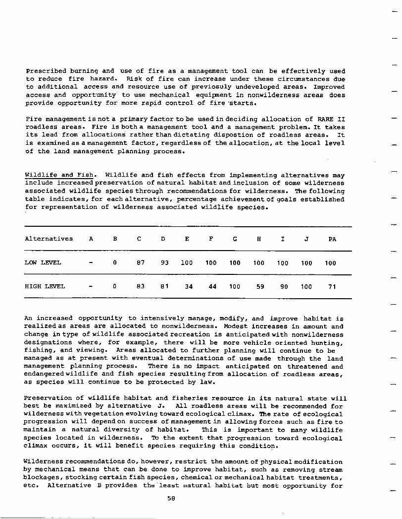
Prescribed burning and use of fire as a management tool can be effectively used to reduce fire hazard. Risk of fire can increase under these circumstances due to additional access and resource use of previosuly undeveloped areas. Improved access and opportunity to use mechanical equipment in nonwilderness areas does provide opportunity for more rapid control of fire starts.
Fire managementisnota primaryfactortobe usedindeciding allocation of BABE II roadless areas. Fire isbotha management tool and a management problem. It takes its lead from allocations ratherthandictating dispostion of roadless areas. It is examinedasamanagement factor,regardlessof theallocation,at the local level of the land management planning process.
Wildlife and Fish. Wildlife and fish effects from implementing alternatives may include increasedpreservation of natural habitatandinclusion of some wilderness associated wildlife speciesthrough recommendations for wilderness. The following table indicates, for eachalternative, percentage achievement of goals established for representation of wilderness associated wildlife species.
Alternatives A B C D E F G H I J PA
LOWLEVEL 87 93 100 100 100 100 100 100 100
HIGH LEVEL - 0 83 81 34 44 100 59 90 100 71
An increased opportunity to intensively manage, modify, and improve habitat is realizedas areas are allocated to nonwilderness. Modest increases in amount and change intype of wildlife associatedrecreation is anticipatedwith nonwilderness designations where, for example, there will be more vehicle oriented hunting, fishing, and viewing. Areas allocated to further planning will continue to be managed as at present with eventual determinations of use made through the land management planning process. There is no impact anticipated on threatened and endangeredwildlife and fish species resultingfrom allocation of roadless areas, as species will continue to be protected by law.
Preservation of wildlife habitat and fisheries resource in its natural state will best be maximized by alternative J. All roadless areas will be recommended for wildernesswithvegetationevolvingtowardecologicalclimax. The rate of ecological progression will dependon success ofmanagementin allowingforces such as fire to maintain a natural diversity of habitat. This is important to many wildlife species located in wildernes's. To the extent that progression toward ecological climax occurs, it will benefit species requiring this condition.
-
-
Wilderness recommendationsdo,however, restrict the amountofphysicalmodification by mechanical means that can be done to improve habitat, such as removing stream blockages, stockingcertain fishspecies, chemicalormechanicalhabitat treatments, etc. Alternative B provides the'least natural habitat but most opportunity for
58
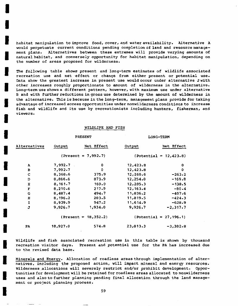
habitat manipulation toimprove food, cover, and water availability. Alternative A would perpetuate current conditions pending completionofland and resourcemanage- ment plans. Alternatives between these extremes will provide varying amounts of naturalhabitat, and conversely opportunity for habitat manipulation, depending on the number of areas proposed for wilderness.
The following table shows present and long-term estimates of wildlife associated recreation use and net .effect or change from either present or potential use. Data show the greatest increase in present use wouldoccur under alternative Jwith other increases roughly proportionate to amount of wilderness in the alternative. Long-termuseshowsa different pattern, however, with maximum use under alternative B and with furtherreductionsingrossuse determined by the amount of wilderness in the alternative. Thisisbecauseinthelong-term, managementplans provide for taking advantageofincreasedaccessopportunitiesundernonwildernessconditionsto increase fish and wildlife and its use by recreationists including hunters, fisherman, and viewers.
Alternatives
A B C D E F G H I J
PA
WILDLIFE AND FISH
PRESENT LONG-TERM
Output Net Effect Output Net Effect
(Present = 7,992.7) (Potential = 12,423.E)
7,992.7 0 12,423.E 0 7,992.7 0 12,423.E 0 8,368.6 375.9 12,260.6 -263.2 8,866.6 873.9 12,254.0 -169.8 8,161.7 169.0 12r285.3 -138.5 8,210.6 217.9 12,163.4 -80.4 8,487.4 494.7 11,836.2 -407.6 8,196.2 203.5 11,819.5 -424.3 8,939.g 947.2 11,614.g -628.9 9,926.7 1,934.o 9r926.7 -2,317.7
(Present = 18,352.2) (Potential = 27,196.l)
18,927.0 574.8 23,813.3 -3,382.E
Wildlife and fish associated recreation use in this table is shown by thousand recreation visitor days. Present and potential use for the PA has increased due to the revised data base.
Minerals and Energy. Allocation of roadless areasthrough implementation of alter- natives, including the proposed action , will impact mineral and energy resources. Wilderness,allocations will severely restrict and/or prohibit development. Oppor- tunities fordevelopmentwillbe retainedforroadlessareasallocated tononwilderness uses and alsotofurther planning pending final allocation through the land manage- ment or project planning process.
59
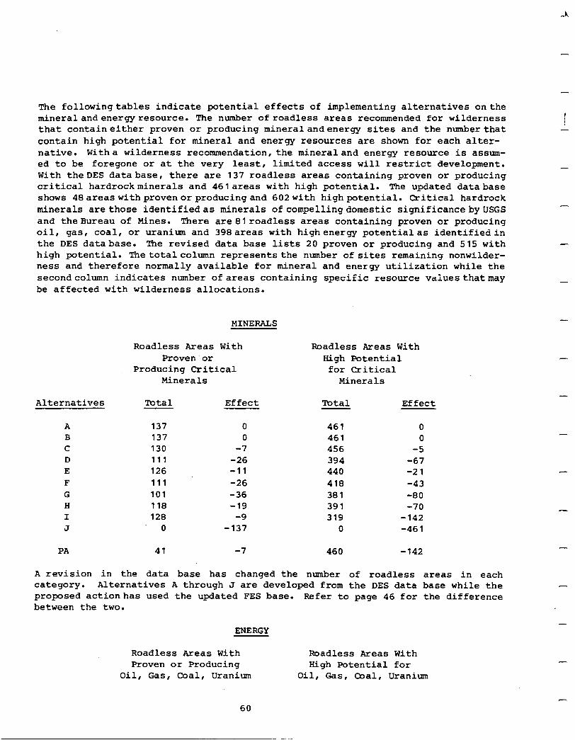
A.
-
-
The followingtables indicate potential effects of implementing alternatives on the mineralandenergyresource. The number ofroadless areas recommended for wilderness that containeither proven or producing mineralandenergy sites and the number that contain high potential for mineral and energy resources are shown for each alter- native. Witha wilderness recommendation, the mineraland energy resource is assum- ed to be foregone or at the very least, limited access will restrict development. With theDES database, there are 137 roadless areas containing proven or producing critical hardrockminerals and 461areas with high potential. The updated database shows 48areaswithprovenorproducingand 602with highpotential. Critical hardrock minerals arethose identifiedas minerals ofcompellingdomestic significanceby USGS and theBureau of Mines. There are8lroadless areas containing proven or producing oil, gas, coal, or uranium and 398areas with highenergy potentialas identifiedin the DES database. The revised data base lists 20 proven or producing and 515 with high potential. The totalcolumn represents the number of sites remaining nonwilder- ness and therefore normally available for mineral and energy utilization while the secondcolumn indicates number of areas containing specific resource valuesthatmay be affected with wilderness allocations.
I
-
-
-
-
MINERALS
Alternatives Effect Total Effect
A B C D E F G H I J
137 0 461 0 137 0 461 0 130 -7 456 -5 111 -26 394 -67 126 -11 440 -21 111 -26 418 -43 101 -36 381 -80 118 -19 391 -70 128 -9 319 -142
0 -137 0 -461
PA 41 -7 460 -142
Roadless Areas With Roadless Areas With Proven or High Potential
Producing Critical for Critical Minerals Minerals
A revision in the data base has changed the nlrmber of roadless areas in each category. Alternatives A through J are developed from the DES data base while the proposed actionhas used the updated FES base. Refer to page 46 for the difference between the two.
ENERGY
Roadless Areas With Proven or Producing
Oil, Gas, Goal, Uranium
Roadless Areas With High Potential for
Oil, Gas, Qal, Uranium
-
60
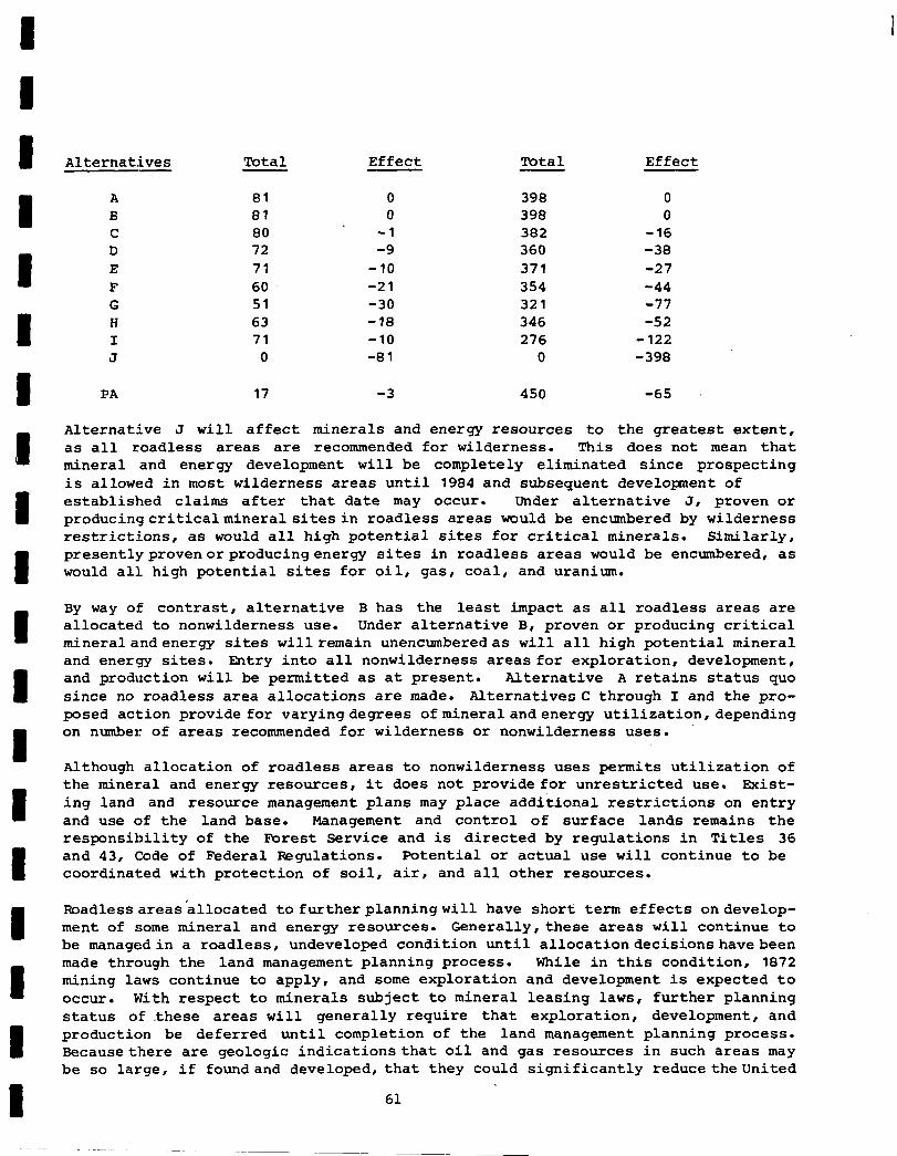
Alternatives
A B C D E F G H I J
PA
Alternative J
Total Effect Total Effect
81 0 398 0 81 0 39% 0 80 -1 382 -16 72 -9 360 -38 71 -10 371 -27 60 -21 354 -44 51 -30 321 -77 63 -18 346 -52 71 -10 276 -122
0 -81 0 -398
17 -3 450 -65
will affect minerals and energy resources to the greatest extent, as all roadless areas are recommended for wilderness. This does not mean that mineral and energy development will be completely eliminated since prospecting is allowed in most wilderness area8 until 1984 and subsequent development of established claims after that date may occur. Under alternative J, proven or producingcriticalmineralsitesin roadless areas would be encumbered by wilderness restrictions, as would all high potential sites for critical minerals. Similarly, presentlyprovenorproducingenergy sites in roadless areas would be encumbered, as would all high potential sites for oil, gas, coal, and uranium.
By way of contrast, alternative B has the least impact as all roadless areas are allocated to nonwilderness use. Under alternative B, proven or producing critical mineralandenergy sites will remain unencumberedas will all high potential mineral and energy sites. Entry into all nonwilderness areas for exploration, development, and production will be permitted as at present. Alternative A retain8 status quo since no roadless area allocations are made. AlternativeoC through I and the pro- posed action provide for varyingdegrees ofmineralandenergy utilization,depending on number of area8 recommended for wilderness or nonwilderness uses.
Although allocation of roadless areas to nonwilderness uses permits utilization of the mineral and energy resources, it doe8 not provide for unrestricted use. Exist- ing land and resource management plans may place additional restrictions on entry and use of the land base. Management and control of surface lands remains the responsibility of the Forest Service and is directed by regulations in Titles 36 and 43, Code of Federal Regulations. Potential or actual use will continue to be coordinated with protection of soil, air, and all other resources.
Boadlessareas'allocated tofurtherplanningwill have short term effects ondevelop- ment of some mineral and energy resources. Generally,these areas will continue to be managedin a roadless, undeveloped condition until allocationdecisionshavebeen made through the land management planning process. While in this condition, 1872 mining laws continue to apply, and some exploration and development is expected to occur. With respect to minerals subject to mineral leasing laws, further planning status of .these areas will generally require that exploration, development, and production be deferred until completion of the land management planning process. Becausethere are geologic indicationsthat oil and gas resources in such areas may be so large, if foundand developed, that they could significantly reduce theunited
61
-
States' reliance on foreign sources, explorationfor oil and gas would be permitted in some areas if certain requirements are met. Circumstances necessitating entry and stipulations for entry and developent are discussed further in Section VII, pages 97 and 98.
TO adequately assess oil and gas production potential, both direct and indirect exploration methods can be used. The exploration process involves several stages during which the effort takes on an increasingly sharper focus. With completion of geologic studies and seismic surveys, areas of interest shrink. At the same time, environmental impacts can change from very light to significant. The main impact8 are fromdrilling and its associated need for access. But only a small fraction of the original area of interest is actuallydrilled. Areas of producible oil and gas are even smaller. Given the current odds on discovering producible amounts of oil or gas, it appears that very little of the total acreage designated for further planningwould be capableofproduction. Where oilor gas production occurs, wilder- ness values may be temporarily, in some cases permanently, degraded.
Transportation corridors for movement of mineral and energy resources are an additional consideration, for they are not normally compatible with wilderness. These facilitieswithincorridors include powertransmissionlines, oilandgas pipe- lines and othertransportation modes. Alternative B provides the most unrestricted opportunityfordevelopment of these facilities and alternativeJ providestheleast. Alternative A will produce delays in deciding what is acceptable and alternatives C through I, includingtheproposedaction, produce varying opportunityfordeveloment dependingonthenumberofroadlessareasproposed forwildernessand fornonwilderne8s uses.
Cultural Resources. Effects of implementing a series of alternatives on cultural resources may be viewed in two different ways. FirGt, reduced access affords protection to the resource when roadless areas are recommended for wilderness, and second, opportunity to find, restore, and protect cultural resources is enhanced when areas are allocated to nonwilderness uses.
Historical and archeological sites are protected by the National Historic Rreser- vation Act of 1966 and Executive Order No. 11593 of May 13, 1971. Regulations to meet these authorities require that qualified individual8 conduct reconnaissance, or more intensive surveys when necessary, before any ground-disturbing activities are intitiated. This requirement mandates protection of cultural resource8 in both wilderness and nonwilderness areas.
Despite protection of cultural resource8 as a result of more limited acce8s under wildernessdesignation,this classification is notconducive to extensive excavation and restoration. Accordingly, those alternative8 with the most areas proposed for wilderness provide the highest degree of natural protection even though historical and archeological areas must alsobe protected in nonwilderness areas. The primary difference is that in nonwilderness areas, cultural sites may be excavated and restored using procedures not available under wilderness'constraints. Facilities may beconstructed tostrengthenthe site andinterpretation is permitted to enhance public viewing andunderstanding. Inthis respect, alternatives allocatingthe most areas to nonwilderness use enhance opportunitiesto make the resource available for public use and enjoyment. Under such a complex and site specific situation, it is impossibleto generalize asto which alternatives have the least or the most impact on cultural resources.
-
-
-
62
ResourcesPlanningAct (RPA). Implementation of alternatives in this statement can have an effecton meetingthose 1975 RPAprogramtargets that canbe directly compared with outputs from RARE II inventoried roadless areas. Allocations may also reduce the range ofopportunity available with the 1980 RPAupdate. Comparable outputs are wilderness,timbersaleofferings, developedrecreationuse, dispersedrecreation use, and grazing. me RPA program established target outputs for the total National Forest System to meet in each of these resource areas. Targets were expressed in ranges and assigned for two different time periods - 1985 and 2015. The share of total targetsthat must be obtained fromRARE II inventoried roadless areashasbeen identified based upon Regional determinations. Potential outputs of roadless areas by alternativeallocations are alsoknown. This information canbe combined to ,permit an analysis of affects allocations might have on the RPA program. The following table displaysthis analysis for allalternatives. Targets for wilderness,developed and dispersed recreation, and grazing areforthe year 2015. The target for timber utilizes 1985sawtimberharvestvolume figures,as short term effects onthis resource are more meaningful in analyzing impacts upon the RPA program.
Implementation of alternatives C, D, G, H, I, J, and PA will be within or will exceed the RARE II share of the 2015 wilderness target. The amount to be added in reaching the target ranges from a low of 9.0 million acres with implementation of alternative C to the maximum amount possible with implementation of alternative J. AlternativeB will not contribute to the target while E and F contribute lesser amounts than others and do not meet the target.
Only alternativesBand Emeet 1985 programmed harvest sawtimber outputs. The range of potentialoutput varies with amount of commercial forest land available for pro- duction within roadless areas allocated to nonwilderness uses. Thetarget could be slightly exceededifalternativeBis implemented. Amethod for comparing outputs of the TPA with the 10 DES alternatives isdeveloped at the beginning of this section.
Developedrecreationuse target for2015could be exceeded by allalternatives except J. Developedrecreation sites are notpermitted in wilderness areas resulting in a . loss of totalpotential. Thetargetrange fordispersedrecreation use is exceeded by all alternatives. AlternativeJ would producethe fewest recreation visitor days of disperseduse since motorized use would be prohibitedand the amountof nonmotorized dispersed use would be managed to retain a wilderness environment.
Change in grazing use is minimal and the 2015 target is met through the range of alternativesexcept foralternativeJ. While grazingispermittedinwilderness areas, abilityto intensively managethe resource is foregone. The impact of this restric- tion is most evident with implementation of alternative J as all areas are recom- mended for wilderness.
The 1975 RPA program targets utilized in this analysis will be updated as the 1980 program is submitted. It will reflect allocations madethrough the RARE II process and be responsive to the amount of land available for either wilderness or nonwil- derness outputs. It should be remembered when analyzing effects of implementing thesealternatives that entries show only what is potentially available. There is no guarantee outputs will be achieved.
63
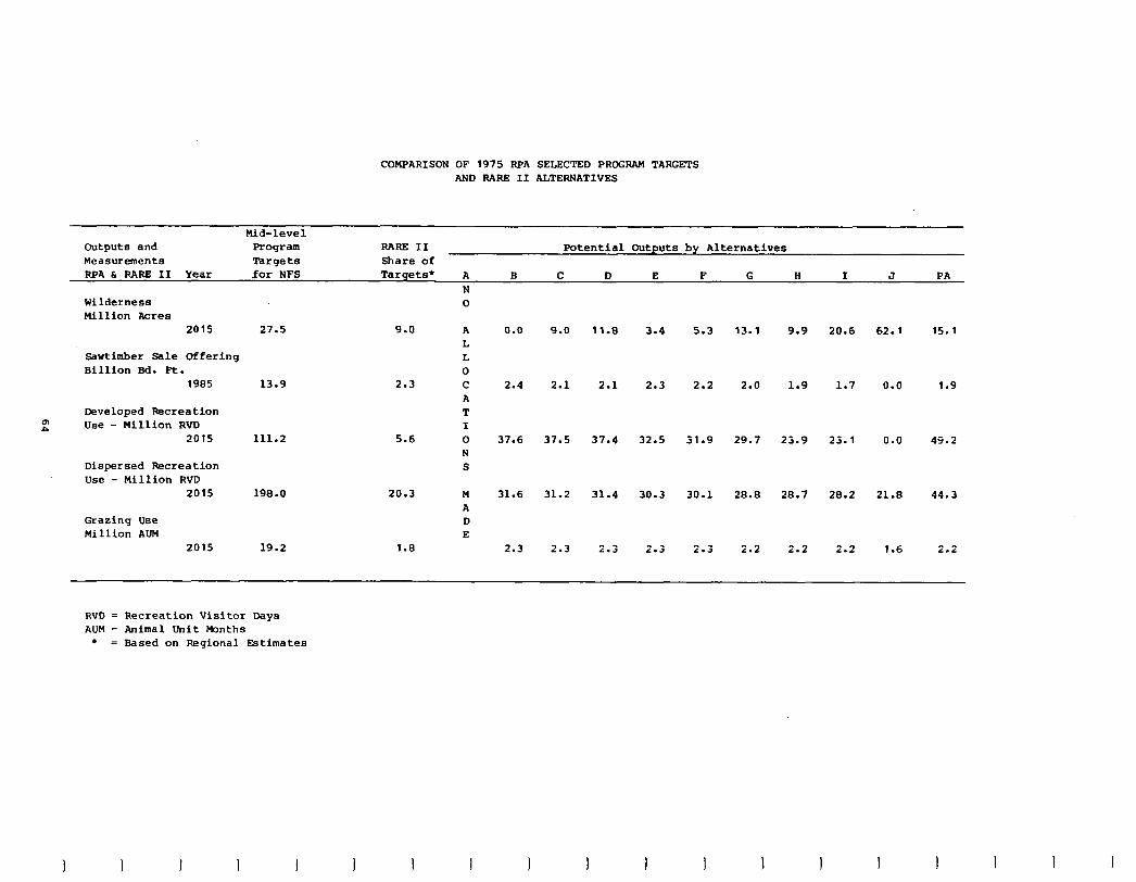
COMPARISON OF 1975 RPA SELECTED PROGRAM TARGETS AND RARE II ALTERNATIVES
Mid-level Outputs and Program RARE II Potential Outputs by Alternatives Measurements Targets Share of RPA 6 RARE II Year .for NFS Targets* A B C D E F G H I J PA
Wilderness Million Acres
2015
Sawtimber Bale Offering Billion Bd. Ft.
1985
Developed Recreation
p” Use - Million RVD 2015
Dispersed Recreation Use - Million RVD
2015
Grazing Use Million AUM
2015
N 0
27.5 9.0 A L L 0
13.9 2.3 C A T I
111.2 5.6 0 N S
198.0 20.3 M A D E
19.2 1.8
0.0
2.4
37.6
31.6
2.3
9.0
2.1
37.5
31.2
2.3
11.9
2.1
37.4
31.4
2.3
3.4
2.3
32.5
30.3
2.3
5.3
2.2
31.9
30.1
2.3
13.1
2.0
29.7
28.8
2.2
9.9 20.6 62.1
1.9 1.7 0.0
23.9 23.1 0.0
28.7 21.8
2.2
28.2
2.2 1.6
15.1
1.9
49.2
44.3
2.2
RVD = Recreation Visitor Days AUM = Animal Unit Months
l = Based on Regional Estimates
I t I I t I I I I I
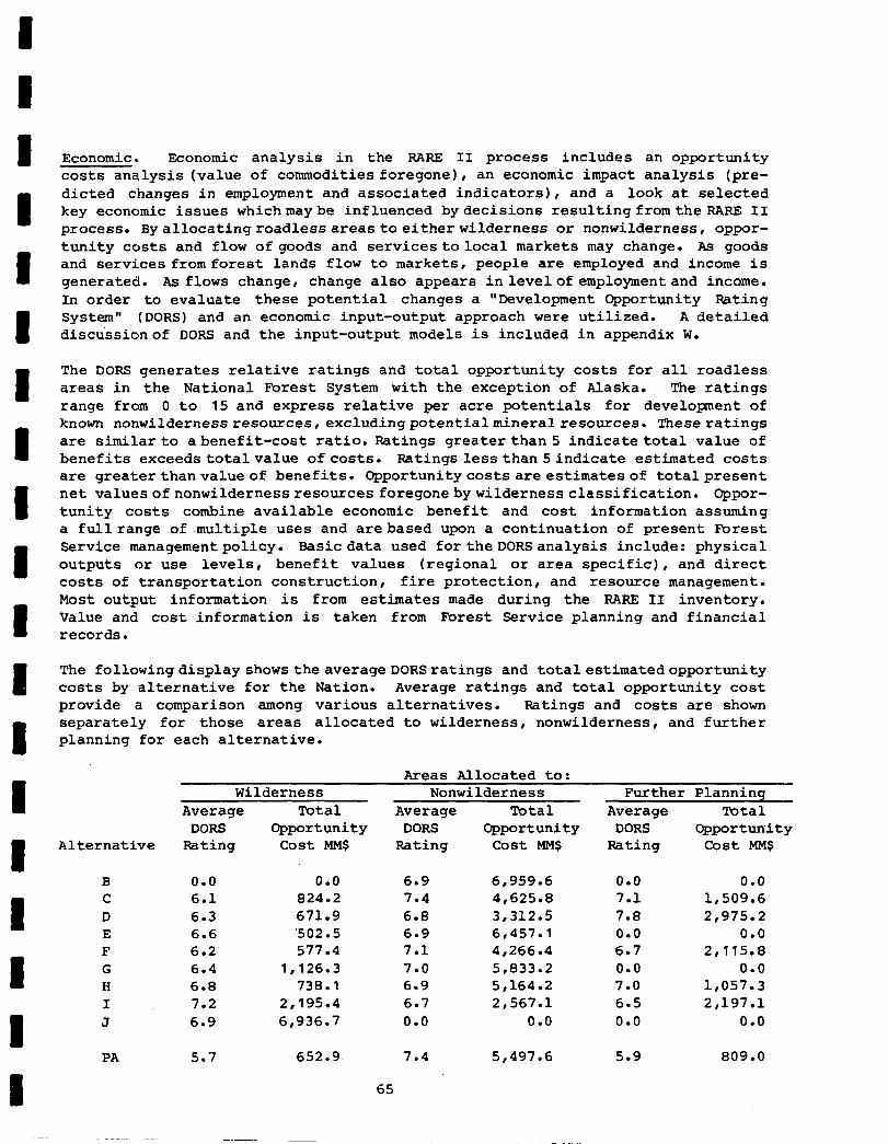
Economic. Economic analysis in the RARE II process includes an opportunity costs analysis (value of commodities foregone), an economic impact analysis (pre- dicted changes in employment and associated indicators) , and a look at selected key economic issues whichmaybe influenced bydecisions resultingfromtheRARE II process. Byallocatingroadlessareastoeitherwilderness or nonwilderness, oppor- tunity costs and flow of goods and servicestolocal markets may change. As good8 and services fromforest lands flow to markets , people are employed and income is generated. As flows change, change also appears inlevelof employmentand income. In order to evaluate these potential changes a "Development Opportunity Rating System" (DORS) and an economic input-output approach were utilized. A detailed discussionof DORS and the input-output models is included in appendix W.
The DORS generates relative ratings and total opportunity costs for all roadless areas in the National Forest System with the exception of Alaska. The ratings range from 0 to 15 and express relative per acre potentials for development of known nonwildernessresources, excludingpotentialmineralresources. These ratings are similar to abenefit-cost ratio. Ratings greater than 5 indicate total value of benefits exceeds totalvalue of costs. Ratings lessthan Sindicate estimated costs are greaterthanvalue of benefits. Opportunitycostsareestimatesof totalpresent net ValUeSOfnOnWilderne8SreSOUXeS foregonebywildernessclassification. Oppor- tunity costs combine available economic benefit and cost information assuming a fullrange of .multiple uses and arebased upon a continuation of present Forest Service managementpolicy. Basic data used fortheDORSanalysis include: physical outputs or use levels, benefit values (regional or area specific), and direct costs of transportation construction, fire protection, and resource management. Most output information is from estimates made during the RARE II inventory. Value and cost information is taken from Forest Service planning and financial records.
The followingdisplay showstheaverageDORSratings and totalestimatedopportunity cost8 by alternative for the Nation. Average ratings and total opportunity cost provide a comparison among various alternatives. Ratings and costs are shown separately for those areas allocated to wilderness, nonwilderness, and further planning for each alternative.
Areas Allocated to:
Alternative Rating cost MM$ Rating
B 0.0 0.0 6.9 C 6.1 824.2 7.4 D 6.3 671.9 6.8 E 6.6 '502.5 6.9 F 6.2 577.4 7.1 G 6.4 1,126.3 7.0 H 6.8 738.1 6.9 I 7.2 2,195.4 6.7 J 6.9 6,936.7 0.0
PA 5.7 652.9 7.4
Wilderness Nonwilderness Further Planning Average Total Average Total Average Total
DORS Opportunity DORS Opportunity DORS Opportunity
65
cost MM$
6,959.6 0.0 0.0 4,625.E 7.1 1,509.6 3,312.5 7.8 2,975.2 6,457.l 0.0 0.0 41266.4 6.7 2,115.E 5,833.2 0.0 0.0 5rl64.2 7.0 1,057.3 2,567.1 6.5 2,197.l
0.0 0.0 0.0
5,497.6
Rating
5.9
Cost MM$
809.0
-
-
A higher average DORS rating for nonwilderness allocation8 in the above table indicate the most cost effective areas remain available for resource utilization. Highertotalopportunitycosts are ideallyfoundwithnonwilderness allocations as it pennitsthemosteconomicallyproductive areasto remain available for commodity use. Refer to appendix W for a complete explanation of DORS and opportunity costs.
Input-output models were constructed to determine economic impacts resulting from wilderness and nonwilderness allocations of roadless areas- These models were used to calculate impacts (changes) upon:
- total dollar value of output - total income - value added - employment - population (related to employment changes)
The link between land allocations and economic effects is change in production of goods and services resulting from different kinds and levels of activity permitted under wilderness, further planning, and nonwilderness management. Production or use changes result in expenditure changes within the economy. The RARE II impact models translate resource output and use changes into expenditure changes. These expenditure changes are used with the input-output model8 to estimate changes in output, income, value added, employment, and population. All production and use changes are net changes from present outputs and use levels. Economic effects that are estimated do not represent projections of the total economy, only changes from present situation7-
Economic effects at both thelocaland national level havebeen estimated. Analysis was done using multicounty impact area input-output models and a national input- output model. Only impact on the national economy is presented here; however, results of each multicounty analysis are available at appropriate Forest service
Regional Offices. The small area analysis was used to evaluate impacts of various alternatives uponlocalcommunities andinput-outputmodels were usedas area specific. There are 167unique small areamodels. Thesemodelswere usedprimarilyin conjunction with the "community stability" analysis.
The national input-outputmodel was used todetermine economic impacts fortheNation as a whole. This model consider8 total national economy and estimates change8 resulting from implementing.various RARE II alternative approaches. The national totals have been subdivided into State totals to estimate the relative "8hare" for individual states containing roadless areas. This information is presented in appendices A through T.
-
-
-
-
Three assmption sets are employed to illustrate economic effects. The first assumption, identifiedas "Potential Immediate Effect," represents economic effects of wilderness allocations. That is, roadless areas allocated to wilderness change from present towilderness management strategy. All areas allocated to nonwilderness remain in present management. Production and utilization changes in this case are largely negative although some gains in certain recreation uses may be obtained. Also, deferred timber from area.8 allocated to nonwilderness may cause positive
66
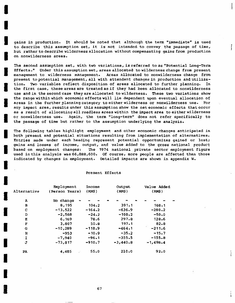
gains in production. It should be noted that although the term "immediate" is used to describe this assmption set, it is not intended to convey the passage of time, but rathertodescribewildernessallocation withoutcompensating gains from production on nonwilderness areas.
i I
The second assumption set, with two variations, is referred toas "Potential Long-Term Effects." Under thisassumption set,areasallocated towildernesschange from present management to wilderness management. Areas allocated to nonwilderness change from present topotential management,all with attendant changesin production andutiliza- tion. Two variables reflect disposition of areas allocated to further planning. In the first case, theseareasare treatedasif they had been allocated to nonwilderness use andin the secondcase theyareallocated towilderness. These two variations show the rangewithinwhich economiceffectswill lie dependent upon eventual allocation of areas in the furtherplanningcategory toeitherwilderness or nonwilderness use. For any impact area, results under thisassumption show the neteconomic effects thatoccur as a result of allocatingallroadlessareaswithin the impactarea toeitherwilderness or nonwilderness use. Again, the term "long-term" does not refer specifically to the passage of time but rather to the assumption underlying the analysis.
The following tables highlight employment and other economic changes anticipated in both present and potential situations resulting from implementation of alternatives. Entries made under each heading represent potential opportunites gained or lost; gains and losses of income, output, and value added-to the gross national product based on employment changes: The 1974 national private sector employment figure used inthis analysis was66,888,600. Of course, more people are affected than those indicated by changes in employment. Detailed impacts are shown in appendix W.
Present Effects
Alternative Employment Income
(Person Years) (MMS) output (MMS)
Value Added (MMS)
A B C D E F G H I J
No change - - - - - - - - - - -
8,195 104.2 391.1 168.1 -13,522 -164.2 -636.9 -280.2
-2,568 -24.2 -100.2 -50.0 6,169 78.6 297.8 128.6 3,807 50.8 197.1 82.8
-10,289 -118.9 -464.1 -211.6 -953 -10.9 -35.2 -15.7
-7,940 -96.1 -355.5 -155.8 -73,817 -910.7 -3,440.E -1,498.4
PA 4,485 55.0 210.0 92.0
67
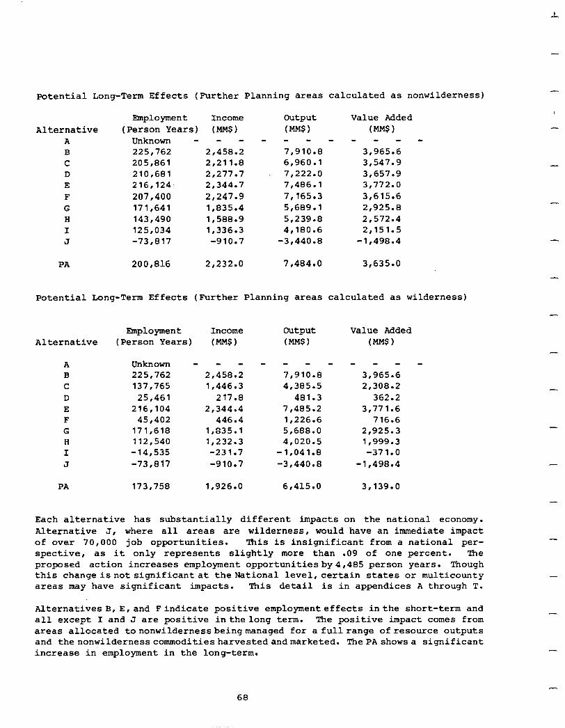
Potential Long-Term Effects (Further Planning areas calculated as nonwilderness)
Employment Income Alternative (Person Years) (MMS)
A Unknown - - - B 225,762 2,458.2 C 205,861 2,211.E D 210,681 2,277.7 E 216,124. 2,344.7 F 207,400 2,247.g G 171,641 1,835.4 H 143,490 1,588.g I 125,034 lr336.3 J -73,817 -910.7
200,816 2,232.O 7,484.0 3,635.0
output (Mw) - - - 7,910.E 6,960.l 7,222.0 7,486.l 71165.3 5,689.l 51239.8 4,180.6
-3,440.E
Value Added (MM.?)
- - - - 3,965.6 3,547.g 3,657.g 3,772.0 3r615.6 2,925.E 2,572.4 2r151.5
-1,498.4
Potential Long-Term Effects (Further Planning areas calculated as wilderness)
Alternative Employment Income output Value Added
(Person Years) (MMS) (Mm) (Me)
A B C D E F G H I J
Unknown 225,762 137,765
25,461 216,104
45,402 171,618 112,540 -14,535 -73,817
- - a - - - 2r458.2 7,910.E 1,446.3 4,385.5
217.8 481.3 2,344.4 7,485.2
446.4 1,226.6 1,835.l 5,688.O 1,232.3 41020.5 -231.7 -1,041.E -910.7 -3,440.E
- - - - 3r965.6 2,308.2
362.2 3,771.6
716.6 2,925.3 1*999.3 -371.0
-1,498.4
PA 173,758 1,926.O 6,415.O 3.139.0
Each alternative has substantially different impacts on the national economy. Alternative J, where all areas are wilderness, would have an immediate impact of over 70,000 job opportunities. This is insignificant from a national per- spective, as it only represents slightly more than .09 of one percent. The proposed action increases employment opportunitiesby4,485 person years. Though this changeisnot significant at theNational level,certain states or multicounty areas may have significant impacts. This detail is in appendices A through T.
Alternative8 B, E,and Findicate positive employment effects inthe short-term and all except I and J are positive inthelong term. The positive impact comes from areas allocated tononwildernessbeingmanaged for a full range of resource outputs and thenonwildernesscommoditiesharvestedandmarketed. ThePAshowsa significant increase in employment in the long-term.
68
I Housing Starts. Construction levels of residential housing within the United States are quite cyclic with periods of high levels of construction interspersed
I
with downturns. Starts are dependent on both level of purchaser demand and avail- ability and cost of mortgage money. Rising costs of materials, labor, and land are factors, but in past decade8, a principle determinant has been availability
1
'of mortgage monies. Softwood lumber and plywood costs historically have averaged about 7 to 8 percent of total sale price of the average single family house. Cost8 may rise above these long-term averages during periods of high construction levels. Multifamily housing units u8e about one third less lumber and plywood
I in their per family unit construction than single family units.
The ,primary contribution of roadless areas to housing starts and material'avail-
I
ability is softwood sawtimber volume contained within them. VolDe, as discussed under the Timber heading, has the potential to be utilized is an area is allocated to nonwilderness use but will be foregone if it is recommended for wilderness.
I
The immediate effect of reducing softwood timber supply would be more extreme if it were coincidental with a period of high level national construction than if new housing starts were in a cyclic downward trend.
I 1 I I I I i I
Alternative J is the "bench mark" in this analysis as it has the most potential to reduce softwood timber supply flow from National Forests as all the areas are allocated to wilderness. Reduction, at this extreme, could amount to about two billion board feet of softwood sawtimber annually. This withdrawal could have an effect on lumber and plywood prices and probably total price of a new home but after aperiod of supplyadjustment, products would probably be supplied from other sources. R. W. Haynes and D. M. Adams, in a manuscript submitted tothe Journal of Forestry, explored impacts of RARE II allocations on softwood sawtimber prices, consumption, andproduction. Their analysis found.that"the bulk of the decline in National Forest softwood sawtimber harvest isoffset by increases in cuton private lands andsoftwood lumber imports fromCanada." Theypredicted the softwood sawtimber stumpage price would rise in the west and to a lesser extent in the south. But, the largest part of the supply adjustment would come from increased imports of Canadian softwood lumber.
Haynes and Adams found that even with adjustments in supply, there would be an accelerated price rise over existing trends in average wholesale price of both softwood lumber and plywood if alternative J were implemented. The index would be 2.8 percent higher in 1985 for softwood lumber and 0.2 higher in 1985 for plywood than would normally be anticipatedwithoutimplementation of alternative J. Imple- mentation of any of the other alternatives would have a lesser effect on softwood availability and prices as fewer area8 would be allocated to wilderness. The proposedaction couldproduce an index that would be from 0.5 to 0.8 percent higher for softwood lumber and 0.1 higher for plywood, both in 1985 using 1967 as base.
variation is dependant onroadlessareasallocated to furtherplanning and their ventual .disposition.
II 69
-
Using assumptions of the Haynes-Adams analysis, total effect of BARE II allocations on housingstarts wouldnot be large from the standpointofprice increases. However, it could be expected there would be more severe short-termprice impacts while supply adjustments were taking place. 'PO this extent, an interruption of flow of lumber and plywood to the construction industry could be of significance. These shortfalls would be temporary with other sources expanding production to meet material needs.
-
The result could be a temporary reduction in number of housing starts and an over- all lag in completion of houses under construction.
-
Inflation. Primary inflationary effects of implementing the series of alternatives described in this statement deal with potential withdrawal of softwood sawtimber volume. Effects could be realized in higher prices for 8OftWOOd lumber and plywood with results about the same as discussed under &using Starts. Price increases for new homes could reflect increased wood materials cost, but inflation affects almost all sectors of the economy. The National Association of Home Builders' data show that lumber prices increased an average of 8.6 percent annually during the period from 1973 through 1977. Some construction components have had sharper rises, such as concrete at 12.7, heatingequipmentat 10.5, andinsulation at 15.7annualpercentage increases.
A significant withdrawal of softwood sawtimber from available timber supply would likely have an inflationary effect on sale prices of new homes. Alternative J would have potential forthe most impact as all areas are recommended for wilderness. Alternative B would have the least. Effects of implementing other alternatives would vary, dependent on the number of areas proposed for wilderness and potential timber volume removed fromtotal supply. With implementation of the proposed action, between 800 million and 1.176 billion board feet of sawtimber potential could be removed fromthe market. The corresponding impacton inflation is a 3.8 to5.5percent increase in lumber andwoodproduct prices. The availability of softwood sawtimber is but one inflationary component that cumulatively contributes to price rises for residential construction.
Other potential resource outputs from inventoried roadless areas are not variable enough in response to their allocation to appreciably affect inflation. The one possible exception is foreclosing u8e of the mineral and energy resource of areas recommended for wilderness. If major energy sources were discovered but not made available for use, lack of additional supply could inflate the price of current resources. This is an unquantifiable factor for ifextent of the resource is unknown, it is impossible to predict.what the effect on inflation might be.
Balance of Payments. A major factor creating an unfavorable balance of payments in import-export trade originates with imports of foreign oil. Another factor, in terms of roadless areas allocation, is softwood timber products, namely lumber. Implementation of alternatives within this environmental statement can have an effect on level of softwood lumber imports a8 areas are either made available or removed from commodity production. Availability of softwood timber and opportunities to meet demand without a heavy reliance on imports can be quantified. But, tified mineral and energy sources
unquan- can not now be analyzed to determine how much
or how little import is needed to achieve a balance of payments.
-
-
-
-
-
-
-
-
-
-
70
I
Improvements in balance of payments can be achieved,by increasing exports or decreasing imports for any trade item. Utilizing oil and gas potential to the maximum within this country reduces dependence on foreign oil. Likewise, the need for a foreign source of softwood lumber can be reduced if this country can supply more of its own demand. Roadless areas in the RARE II inventory have potential for helping somewhat to reduce dependency on foreign products. But, it is only one .factor for the value of foreign currencies in exchange with the U. S. dollar, price of foreign commodities, and other commitments must also be considered when attemptingto improve balance of payments situations. This balance of paymentsdiscussion cannotadequately analyze total trade flows, overseas capital investments, etc. Variables involved and unpredictable future event8 would make a complete analysis difficult and not appropriate for RARE II roadless area alloca- tions.
Balanceof tradeofavailable resources containedin roadless areas canbediscussed. The primary resource is softwood sawtimber. Softwood lumber and newsprint account for well over half our total wood products imports which in 1977 amounted to $6.6 billion. .The primary source of this material is from Canada. Export8 of paper, board products, softwood logs, and lumber totaled nearly $4.7 billion in 1977, mostly to Japan and Europe. In terms of balance, 1977 imports exceeded exports by nearly $2 billion, a rather small amount when compared to a total trade deficit of nearly $30 billion but a contributing factor to our current deficit position.
D. M. Adams and R. W. Haynes in an analysis submitted for publication to the Journal of Forestry find the primary factor that would be affected by allocation of theroadless areas is ourtrade in softwood lumber. In general, reducedinternal supplies would lessen our ability to export to foreign markets and would increase imports of Canadian softwood lumber. The model developed by Adams and Baynes shows Canadiansoftwood lumber imports in the year2000 tobe 2.7 billionboard feet higher with implementation of alternative J as opposed to the situation anticipated with implementation of alternative A. The proposed action could increase the need for import in a range from 450 to 610 million board feet dependent on the eventual al- location of areas infurther planning. Again, alternative A is the zero base and J the extreme. Interms of 1977average importprices, alternativeJcouldincreasethe import bill for softwood lumber approximately23percent abovethelevel anticipated with alternative A. Imports could be reduced if exports were diverted to domestic markets but this would tend to neutralize net trade balance.
This analysis describes extreme possibilities when comparing no action with alternative B and allocation of all roadless areas to wilderness in alternative J. Other options, includingtheRA would fall between these extremes and have a lesser effect on balance of payments (trade).
Returns to the Treasury. The major portion (95 percent) of National Forest Fund Receipts ($691.5millionin1977)isderived fromsale of timber. Other resource uses such asgrazing, landuses,power, mineral leases, recreation admission anduser fees contribute the remaining5 percent. Effects on returnstothe Treasury and resultant payment to States will not be significant unless there is a substantial change in
71
-
-
timber harvest volumes and oil and gas production. Implementation of those alter- natives that recommend greater numbers of areas for-wilderness will produce the greatestchangeintimber andoilandgas output. The timber effect hasbeendescribed under both the Timber and Resources Planning Act (RPA) headings in this section.
AlternativeJ, withits potential to reducetotal outputs, would indicate adecrease of 10.7 percent in its returntotheTreasury usingthe 1985 RPA targetsbut slightly less when compared to2015 targets. Implementation OfalternativesA through I will have varyingeffectson returnstotheTreasury and distribution ofreceiptsto States dependent on the potential products foregone with wilderness classification. The proposed action could reduce Treasury returns from National Forests by 0.9 to 2.5 percent depending on allocation of further planning areas. In dollars, it is a decreaseof 8 to30million. Thisanalysis is made on a national basis only and does not reflect specific impact on alocal basis. A county composed of a large area of federal land, mostofitin a roadless area, could feela much larger impact, if the area was recommended forwilderness, thanthenationalreduction of 10.7percentshown for implementation of alternative J. Such an impact may be partially offset by payments to local governments as authorized in the Payments in Lieu of Taxes Act of 1976, Public Law 94-565.
Management Costs. Overall budget increases as a result of implementingthe propoed action are likely to be about $5 million per year for the entire National Forest system. Receipts would be slightly lower than the current level. Budget increases would includecosts for eliminating or, where appropriate, mitigating some existing specialuses and for occasional land acquisition which might be necessaryto insure wilderness quality is maintained. Some increases in costs will be necessary to prepare substitute timber sale.volume for sales partially prepared thatare in areas being recommended for wilderness. Wildernessmanagementcosts wouldabout double from the current budget level.
The magnitudeof the effect on managementcosts canbest be analyzed by examiningthe extremes of the displayed alternatives. If alternative J were implemented, there would be an overall decrease inbudget needs estimated at between$150-200 million. As allareas are recommended for wilderness underthis alternative, there wouldalso be a loss ofreceipts of about $150million annually. Increasedcosts for wilderness management, land acquisition , and costs for mitigating existing special uses would OCCUT. Significant decreases inboth thelevelof timber sales and required funding for timber sales relatedactivities wouldresult. IfalternativeBwere implemented, there would be an overall increase inbudgetneeds, estimatedat from$50-70million, per year. Additionalcoctswould basicallybeincurred for more intensive management of an increased land base available for multiple uses otherthan wilderness. Along with potentialincreases in receipts ofabout $40 million,there would alsobe other economicbenefits fromsuch development. An increaseindevelopmentalactivities could take place as additonal areas would be utilized to help meet national demands for goods and services. Costs and receipts for the remaining alternatives lie within the estimates for alternatives B and J.
-
-
-
-
-
-
-,
-
-
-
-.
-
-
-
72
1 I 1 I I I I I I I I I I I 1 I I 1 I
Land Acquisition. Implementation of any alternative that proposes roadless areas for wildernessraises thequestionofwhat happens toincludedprivate land. Several factors are paramount in analyzing this issue. First, non-Federal lands included within boundaries of anareaclassified aswildernessare not themselves classified. Second,classificationof areaaswilderness is not a taking of private land. Third, acquisition of private land is not essential for management of wilderness.
In allNational Forest Wilderness, except 16 classified by PL 93-622, theso-called Eastern Wilderness Act, the law does not permit the Secretary of Agriculture to acquire private lands without consent of owner. The Forest Service, therefore, gives high priority to funding acquisition of lands from willing sellers. If an owner wishes to continue to keep and manage his lands as he did when the area was classified as wilderness, and that management is compatible with management of the wilderness,thereisno intentonthe Forest Service's part to gain ownership of that land. If an owner changes use of his land to one no longer compatible with manage- ment of surrounding wilderness, the Forest Service may take active steps to either acquire title to the land or have Congress adjust the wilderness boundary. Each situation must be considered individually, for even though an incompatible use provides a basis for land acquisition, there is no assurance or obligation on the part of theForest Service to acquire such lands. Wilderness designation in itself imposesnorestrictions on use of the privatelandwithin or adjacent to wilderness.
PL 93-622 provides that owners of private land within 16 specified wildernesses east of the 100th meridian must notifythe Forest Service 60 days in advance of any change in ownership or use which would bring about significant new construction or disturbance of land surface, or use of motor vehicles, mechanized transport, or motorized equipment other than as authorized by law for ingress or egress or for agricultural activitiesbegunbefore the designation date. The Forest Service must then use judgement todetermine if the announcedchange in use wouldmake management of the surrounding wilderness impossible. If alandowner persists in continuing an unacceptable use,the Forest Service is authorized to acquire the land by condemna- tion if necessary. Sincethe passage of this legislation in January of 1975, there has been no use of condemnationto acquire lands or interest in lands within wilder- ness areas by the Forest Service.
Social. Potential social effects estimated to occur from implementing a range of alternatives were analyzed and presented in the PARE II Draft Environmental State- ment. These effects weredetermined througha social analysis systemthat collected and analyzed data for five social variables: 1) Population change and public feeling about that change, 2) symbolic meaning, 3) recreation use patterns, 4) impacts on special groups and minorities, and 5) estimates of public sentiment regarding specific roadless area allocation.
Where applicable,datawere also collectedandanalyzed for ten additional (optional) socialvariables, including: sense of localcontrol, community identity, community lifestyles, transportation networks, compatibility of uses, emergency services im- pacts,,lawenforcementimpacts , socialservices,utility services, and local housing.
73

-
-
The social analysis presented in the draft environmental statement will not be repeated here. However,thatanalysishasbeensupplemented by information provided by the public during the public comment phase of FUME II. The original social analysis has thus been supplemented to reflect public perceptions of important social effects that might result from RARE II roadless area allocations.
Analysisofpublic responsetotheRARE II Draft Environmental Statement summarized reasons people offered to support their preference for wilderness, nonwilderness and further planning. (For a more detailed description of the public response analysis process, see appendix U.) Many reasons people offered in support of wilderness and nonwildernessdirectly relate to specific social variables such as recreation use patterns, symbolic meaning, community lifestyles, etc. Public responseanalysis summarized these reasons and tabulated the number of timesthey were given by people commenting on RARE II. These summaries indicate extent and magnitude of some social effects perceived by the public to result from RARE II decisions. They are used in the following analysis to supplement judgements of social effects estimated to result from implementation of the DES alternatives.
RARE ~Iisanimportantpublic issue and, as expected, itgeneratedsizeable public response. A totalof 264,093 individual inputs with signatures of 359,414 people were received during the public comment period. Contrasting this with public response to the RARE I Draft Environmental Statement (1973) indicates increasing public interest inland classification issues onNational Forests and Grasslands. The RARE I DES attracted a total of 6,843 inputs signed by 15,607 people. While the proportion of personal letters (5,301 total inputs) to form-type responses such as petitionsi formletters, response forms, coupons, etc., (746 total inputs) was over seven to one in RARE I, nearly two-thirds of the RARE II input was form-typeresponse. Thus, organizedunits of society , suchas interestandindustry groups, were relatively more involved in RARE II than in RARE I public response.
Clearly, magnitude of decisions regarding designation of over 62 million acres of forest land and continued emphasis on consensus as a criterion to guide those decisions were important factors in motivating the entire spectrum of clientele interest groups to generate campaigns designed to have greater influence over allocationdecisions. This is not to suggest that"campaign" generatedexpressions of publicresponseisanylessvalid than spontaneous input submitted by individual citizens in response to agency public involvement activities. On the contrary, existence of interest group campaigns in RARE II is important data in reflecting the increasing socialconcern overlandallocationdecisionsthat has emergedsince RARE I.
Public comments on the RAkE II DES gives some important insights into potential
social effectsithat ishow people feel RARE II decisions Will affect their lives. Generally, the social analysis containedinthedraftenvironmental statement, with some noteablelocalexceptions,wasvalidatedbypublic comment;namely, thatminimal socialeffectswoul.dresultfromRARE IIallocations. Publicinputanalysisdidindi- cate conflictingpreferences amonglocal, regional, andnationalpopulations about the optimummixofcommodityandamenityoutputsdesired fromNational Fbrest System roadlessareas. The followingdiscussionrelatespublic comment to socialvariables and analys'isofsocialeffectscontainedonpages 56 through 590f thedraftenviron- mental statement. Stateappendices contain moredetailedanalyses of social effects perceived to result from implementation of the proposed action.
-
-
-
74
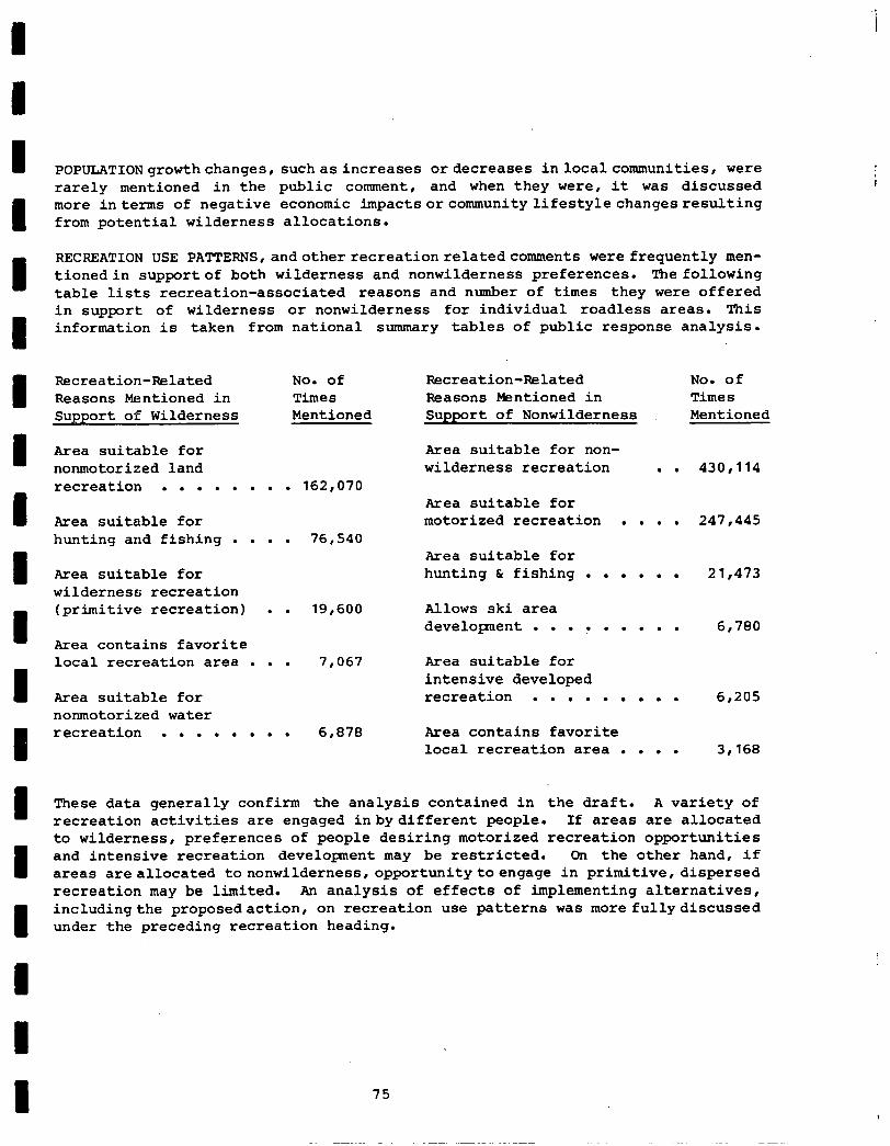
I I
I I I I
POPULATIONgrowthchanges, suchasincreases or decreases inlocalcommunities, were rarely mentioned in the public comment, and when they were, it was discussed more interms of negative economic impactsorcommunitylifestylechangesresulting from potential wilderness allocations.
RECREATION USE PATTERNS,andotherrecreationrelatedcomments were frequently men- tionedin supportof both wilderness and nonwilderness preferences. The following table lists recreation-associated reasons and number of times they were offered in support of wilderness or nonwilderness for individual roadless areas. This information is taken from national summary tables of public response analysis.
Recreation-Related No. of Reasons Mentioned in Times Support of Wilderness Mentioned
Recreation-Related No. of Reasons Mentioned in Times Support of Nonwilderness Mentioned
Area suitable for nonmotorized land recreation . . . . . . . . 162,070
Area suitable for non- wilderness recreation . . 430,114
Area suitable for Area suitable for motorized recreation . . . . 247,445 hunting and fishing . . . . 76,540
Area suitable for Area suitable for hunting & fishing . . . . . . 21,473 wilderness recreation (primitive recreation) . . 19,600 Allows ski area
development . . . ? . . . . . 6,780 Area contains favorite local recreation area . . . 7,067 Area suitable for
intensive developed Area suitable for recreation . . . . . . . . . 6,205 nonmotorized water recreation . . . . . . . . 6,878 Area contains favorite
local recreation area . . . . 3,168
These data generally confirm the analysis contained in the draft. A variety of recreation activities are engaged inbydifferent people. If areas are allocated to wilderness, preferences of people desiring motorized recreation opportunities and intensive recreation development may be restricted. On the other hand, if areas are allocated tononwilderness,opportunitytoengage in primitive,dispersed recreation may be limited. An analysis of effects of implementing alternatives, includingthe proposedaction , on recreation use patterns was more fullydiscussed under the preceding recreation heading.
75
i
-
-
SYMBOLIC MEANINGreferstoanyspecialsignificanceroadlessareasmayhaveto people in terms of their emotional attachments to unique activities, places, images, memories, etc. Public comment indicated thatwilderness andwilderness-associated plants and wildlife have important symbolic value to many Americans. Protection of our natural heritage surfacedas an important social concern. Preservation of areas for future generations , a reason indicative of symbolic importance to many people, wasoffered 80,915 timesinsupportofwildernessdesignation for individual roadless areas. In addition, RARE II as "the last chance to preserve wilderness values" was mentioned 70,543 times in support of wilderness designations.
-
-
Reasonsthat related to adesire for wilderness preservation as a meansto achieve "protectionofournaturalheritage" drewfrequentcomment. For example, "high scenic beauty" and"wildernessvalues" (stated 254,619 times); "unique andrarewildlife or fish" (80,785); "threatened and endangered wildlife and fish" (36,657); "unique ecosystems" (33,048); "unique flora" (30,467);" wilderness values outweigheconomic values" (28,637); and "threatened or endangered flora" (6,572).
-
,-
-
Alternativesallocatingahigher percentage ofareasto wilderness suchasG, I, and J mitigate these socialconcernsbetterthan alternatives allocatingfewer areas to wilderness such as B, C, D, E, F, and H.
SPECIAL GROUPS (ELDERLY, HANDICAPPED, YOUNG, POOR, ETC.) AND MINORITIES (RACIAL, ETHNIC, RELIGIOUS, ETC.) will be affected by implementation of alternatives and the proposedaction. Perceivedimpacts of wilderness and nonwilderness activities and values to special groups and minorities drew frequent comment.
Oppositiontowilderness designationbecause "only a few people can use wilderness" was offeredin supportof nonwilderness designation310,048 times. This perception was often discussed in terms of impacts on elderly and handicapped, many of whom might not havethephysicalcapacityto engage in primitive recreation activities. Thus, alternatives containing the most nonwilderness are more responsive to the needs of special groups unableto use wilderness areasthat would be inaccessible by motorized transportation.
Many RARE IIroadless areas contain cultural, historical, andarchaeologicalsites and areas that have religious or symbolic significance for many local minority groups,especiallyNativeAmericans. Itwas statedinthedraftenvironmentalstate- ment that implementation of alternatives with the greatest number of such sites allocated to wilderness would impact these valuestheleast. This perception was validated bypublic comment.' The fact thatan area containedcultural,historical, or archaeologicalsitesorvalueswas mentionedin supportofwildernessdesignation 40,813 times. Itwas offeredin supportofnonwilderness 7,055 times. Alternatives G, I, and J afford greater wilderness status and protection of these values and are more acceptable to advocates of these values.
Another important social concern is fear that wilderness designation would result in a loss of localcontrol. This concern surfacedin 17,548 comments against wil- derness, to the effect that "Federal Government control does not represent local
-
-
-
-
-
-
-
--
-
76
I
interests or consider local preferences.' Furthermore, 11,984 comments indicated that wilderness designation would restrict access to adjacent private land or result in condemnation of private land. Alternative H takes into consideration local and regional values and preferences and, would best mitigate social impacts related to these fears of loss of local control.
Publicinputanalysisalsoidentified strongsocialconcern aboutpreserving community identities and local lifestyles. Social impact analysis in the draft statement indicated these impacts would be relatively insignificant. But the public comment indicates it is of greater concern than anticipated.
Preservation of lifestyles was offered 39,253 times as a reason in support of in- dividual roadless area allocations to nonwilderness. Lifestyle impacts were often discussed in terms of changes that would result from loss of employment or changes in types of employment. Public comment concerning perceived negative economic impacts helps illustrate the apprehension that people feel over adverse livestyle- related effects resulting from RARE II decisions. The perception that wilderness designation wouldresultin "negative economic impacts" was mentioned 595,831 times . . in support of nonwilderness; and "potential resource contributions to local econo- mies" was cited in support of nonwilderness 182,294 times. Obviously, one of the most significant social concerns of people commenting on BABE II in favor of nonwildernessinvolves economic impacts. Economic effects resultingfromBARB II alternatives, including the proposed action, are discussed at length in another section of this final statement.
In addition, perception that wilderness classification would change the character of individual localcommunitieswas offered 28,822 times in supportofnonwilderness designation. People are concerned that new and different types of people such as "hippies, " "tourists," "transients," "retirees," etc., willmove intolocalcommuni- ties in sufficient numbers to alter their traditional character. Alternatives B (all nonwilderness), C (commodity-driven), and H (consideration of local/regional values and needs) would have least adverse effect on these social considerations.
At a national level, public input analysis did not identify significant public concerns regarding other social variable such as social services, transportation networks, local housing, utility services, or law enforcement impacts. These were occasionally mentioned in support of both wilderness and nonwilderness but not in sufficient numbers to warrant discussion in this national overview.
It is important to note that many people commenting on RARE II were not satisfied with any of the alternatives. During the BABE II public comment period, numerous organizations and groupsdeveloped and submitted their own alternatives. According to the BARE II Public Input Analysis Report,45 such alternatives were proposed that address specific roadless area allocations in a total of 29 states. Many personal letters, response forms, form letters, and petitions commented in support of and in some instances, opposition to the various alternatives. As noted in the public input analysis report, submission of these "citizen-generated' alternatives ranged from mimeographed, one-page flyers, to comprehensive, detailed reports.
77
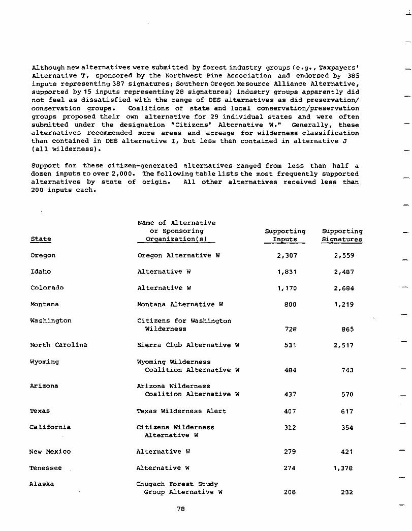
i
Althoughnewalternativeswere submitted by forest industry groups (e.g.,Taxpayers' Alternative T, sponsored by the Northwest Pine Association and endorsed by 385 inputs representing387 signatures; SouthernOregonResource Alliance Alternative, supported by15 inputs representing28 signatures) industry groups apparently did not feel as dissatisfied with the range of DES alternatives as did preservation/ conservation groups. Coalitions of state and local conservation/preservation groups proposed their own alternative for 29 individual states and were often submitted under the designation "Citizens' Alternative W." Generally, these alternatives recommended more areas and acreage for wilderness classification than contained in DES alternative I, but less than contained in alternative J (all wilderness).
Support for these citizen-generated alternatives ranged from less than half a dozen inputstoover 2,000. The followingtableliststhe most frequently supported alternatives by state of origin. All other alternatives received less than 200 inputs each.
State
Oregon
Idaho
Colorado
Montana
Washington
North Carolina
Wyoming
Arizona
Texas
California
New Mexico
Tenessee
Alaska
Name of Alternative or Sponsoring
Organization(s)
Oregon Alternative W
Alternative W
Alternative W
mntana Alternative W
Citizens for Washington Wilderness
Sierra Club Alternative W
Wyoming Wilderness Coalition Alternative W
Arizona Wilderness Coalition Alternative W
Texas Wilderness Alert
Citizens Wilderness Alternative W
Alternative W
Alternative W
Chugach Forest Study Group Alternative W
Supporting Supporting Inputs Signatures
2,307 2,559
1,831 2,487
1,170 2,684
800 1,219
728 865
531 2,517
484 743
437 570
407 617
312 354
279 421
274 1,378
208 232
-
-
-
-
78
I I
I I I I I I 1 I 1 I I I I I I I
Many reasons offeredin support of specific roadless area allocationsto wilderness related to the foregoing social variables. For example, alternatives developed by conservation/preservation group coalitions in every part of the country addressed the need to preserve additional areas of high scenic. beauty and wilderness values (symbolicmeaning ofindividualareas), thedesfreto protect areas whichare adjacent to existing wilderness areas (compatibility of uses), the importance of protecting areas suitable for primitive nonmotorized recreation activities and hunting and fishing experiences (recreation use patterns), and the desire to protect through wilderness classification unique, diverse, and rare wildlife and plant species habitat, and ecosystems (symbolic meaning). Ease of access (proximity) to popula- tion centers, protection of cultural, historical, archeological values, and pres- ervation of natural heritage for future generations were other reasons offered in more than one region but not in all of them.
Summary of Outputs and Effects. The following tables describe outputs anticipated with implementation of the alternatives. Previous headings have been combined in these tables to provide a composite analysis of alternatives. Table 1 displays present effects of implementation with a comparison against present levels of resource outputs. Table 2 shows long-term level of outputs that are anticipated if existing resource managementplans are fully implemented, permitting achievement of high potential resource outputs. Roadless areas allocated to further planning have been considered the same as nonwilderness areas in tables 1 and 2 to indicate maximum resource output level that could be achieved. Alternatives A through J have been developed utilizing the data base in existance at the time of the draft environmental statement. The proposed action has used an updated data base. The difference between these bases is found on page 46.
Timber volume is displayed as million board feet (MMBF) for both sawtimber and wood products. Products normally are measured as cubic feet but a more ready comparison canbe made if cubic feet volumes are converted toboard feet. Conversion was made by multiplying cubic feet by 5. Entries for sawtimber and wood products include both hardwood and softwood.
Developed recreation use is the total of picnicking, camping, skiing, and water based recreation. It is reported in thousands of recreation visitor days (MRvD). Motorized and nonmotorized dispersed recreation use is shown as separate entries, again in thousands of recreation visitor days. Wildlife associated recreation includes big and small game hunting, fishing, and nonhunting use such as viewing.
Grazing is the total of cattle use, sheep use, and common use by both cattle and sheep of the range resource. It does not include wildlife grazing. The total is expressed in thousand animal unit months of use (MAUM).
79
The listing of proven and producing mines indicates the number of roadless areas containing critical minerals and oil, gas, uranium, and coal fields. The list of high potential areas also has two entries, roadless areas containing critical minerals and roadless areas with oil, gas, uranium, and coal. The number of roadless areas containing this mineral and energy resource where opportunity would not be encumbered by wildernessdesignation are shown for each alternative.
-
-
--
-
-
80
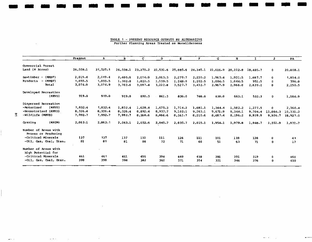
TABLE 1 - PRESENT RESOURCE OUTPUTS BY ALTERNATIVE Further Planning Areas Treated as Nonwilderness
Resent A B C D E F G H I J PA
Commercial Forest Land (M Acres)
Sawtimber - (MMBF) Products - (MMBFl
Total
26.508.1 21,525.l 26,508.l
2,019.4 2,400.e 1,055.5 1,302.O 3,074.g 3,702.E
23.270.2 22,531.6 25,085.6
2.279.7 1,248.0 3.527.7
24,345.l 21,016.g 20,212.S
1,921.5 1,044.5 21966.0
18.485.7 0 20,808.l
2,019.4 1.055.5 3.074.9
2,074.g 2,063.3 1,022.5 1,159.5 3.097.4 3,222.e
2r230.2 1,963.4 1.202.5 1,004.5 3,432.7 2r967.9
1,687.7 0 1,854.O 951.5 0 396.0
2,639.2 0 2,250.5
919.0 919.0 919.0 890.3 861.3 836.0 748.8 630.0 663.1 532.3 0 1.584.9
1.832.4 8r326.4 7.992.7
1,832.4 8,326.4 7.992.7
2.063.1
1.832.4 1,628.4 1,675.3 1,714.2 1.681.1 8,326.4 0.092.4 0.937.7 9,102.l 9,263.l 7,992.7 81368.6 8,866.6 8,161.7 8,210.6
1,344.4 9,671.g 0.407.4
1,954.l
1,502.2 1.277.9 0 2,360.4 9,344.l 9.704.4 11,864.3 10,331.2 8.196.2 8,939.9 9.926.7 18,927.O
Grazing (mm) 2.063.1 2,063.l 2.052.6 2,045.7 2.035.7 21015.1 1,979.E 1,940.7 1,551.g 1.971.7
137 137 137 130 111 126 111 101 118 128 0 81 81 81 80 72 71 60 51 63 71 0
41 17
461 461 461 456 394 440 418 381 391 319 0 460 398 398 398 382 360 371 354 321 346 276 0 450
Developed Feecreation (MRVD)
Dispersed I&creation -Motorized (MmD) -Nonmotorized (MRVD)
m _ -Wildlife (HRVD)
Number of Areas with Proven or Producing
-Critical Minerals -Oil, Gas, Coal, Uran.
Number of Areas with High Potential for -Critical Minerals -011, Gas, Coal, Uran.
-- .
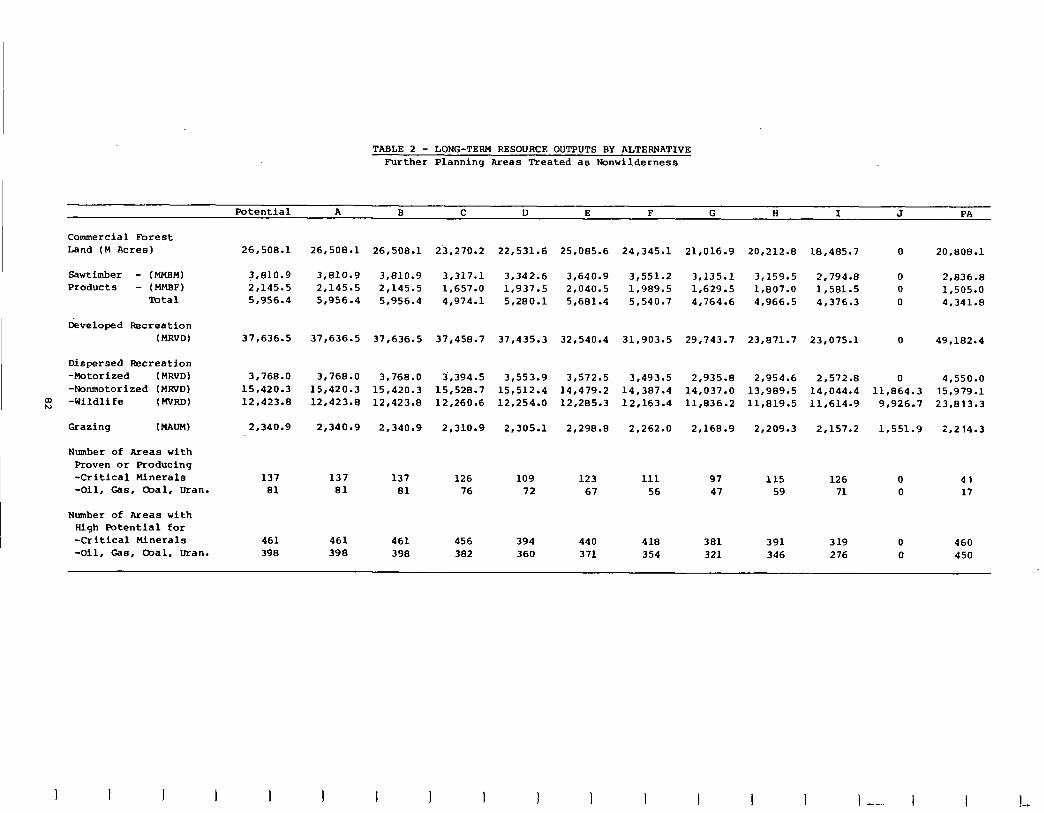
TABLE 2 - LONG-TERM RESOURCE OUTPUTS BY ALTERNATIVE Further Planning Areas Treated as Wonwilderness
Potential A B C D E F G' H I J PA
Commercial Forest Land (M Acres) 26,508.l
3,810.9 2r145.5 5.956.4
26.508.1 26,508.l 23.270.2 22,531.6 25,085.6 24.345.1 21,016.g 20.212.8 18.485.7 20.808.1
3,810.9 3,810.g 3.317.1 3,342.6 3,640.g 3r551.2 3,135.l 3,159.5 2.794.8 2,145.5 2,145.5 1.657.0 1,937.5 2,040.5 1.989.5 1,629.5 1,807.O 1,581.5 5,956.4 5r956.4 4,974.l 5,280.l 5,681.4 5,540.7 4.764.6 4,966.5 4.376.3
2,836.8 1,505.o 4.341.8
37,636.5 37,636.5 37,636.5 37.458.7 37,435.3 32,540.4 31,903.5 29.743.7 23,071.7 23,075.l 0 49.182.4
3,768.0
15,420.3 12r423.8
2,340.g
3,768.0 3.768.0 3,394.5 3,553.g 3,572.5 3,493.5 2,935-e 2,954.6 2.572.0 0 4.550.0 15,420.3 15,420.3 15,528.7 15.512.4 14.479.2 14.387.4 14,037.o 13,989.5 14,044.4 11.864.3 15,979.l 12,423.e 12,423.8 12,260.6 12,254.0 12,285.3 12.163.4 11,836.2 11.819.5 11,614.g 9,926.7 23.813.3
2.340.9 2,340.g 2,310.g 2,305.l 2,298.E 2.262.0 2,168.g 2,209.3 2.157.2 1,551.g 21214.3
137 137 137 126 109 123 111 97 115 126 0 41 81 81 81 76 72 67 56 47 59 71 0 17
461 461 461 456 394 440 418 381 391 319 0 460 398 398 398 382 360 371 354 321 346 276 0 450
Sawtimber - (MM) Products - (HMBF)
Total
Developed &creation (MRvD)
Dispersed Recreation -Motorized (MRVD) -Nonmotorized (MRVD) -Wildlife (MTRD) w Grazing (MAUW
Number of Areas with Proven or Producing -Critical Minerals -Oil, Gas, -al, Uran.
Number of Areas with Righ Potential for -Critical Minerals -Oil, Gas, &al, Uran.
I I I I I I I I I I --. I
The basicdifferencebetween the following two tables, tables 3 and 4, and tables 1 and 2 lies in the treatment of roadless areas allocated to further planning. They *retreated the same as areas allocated to nonwilderness uses intablesland 2 to indicate maximum outputs anticipated if all areas were allocated to nonwil- derness. Tables3 and 4 treat all areas allocated to further planningthe same as areas proposed for wilderness to indicate the effect if they too were eventually allocated to wilderness. Table 3 shows present effects and table 4 long-term effectsofimplementingthe alternatives. Timber volume, recreation use, grazing, and entires forthemineralandenergyresourceusethe same measurements andconsist of the same components as those described for tables 1 and 2. Qmparison of the alternatives maybe achieved by usingthe differences between data bases found on page 46.
03
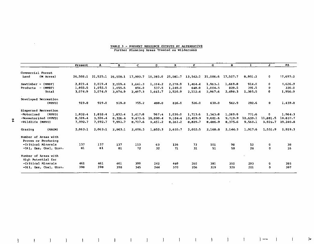
TABLE 3 - PRESENT RESOURCE OUTPUTS BY ALTERNATIVE Further Planning Areas Treated as Wilderness
Present A B C D E F G ii I J PA
Commercial Forest Land (M Acres)
Sawtimber - (MMBF) -2,019.4 Products - (HMBF) 1,055.5
Total 3,074.g
Developed &creation (HRVD)
Dispersed Recreation -Motorized (MRVD)
E -Nonmotorized (MRVD) -Wildlife (MRVD)
Grazing (MAUM) 2,063.l 2,063.l 2,063.l
Number of Areas with Proven or Producing -Critical Minerals -011, Gas, Coal, Uran.
Number of Areas with High Potential for -Critical Minerals -011, Gas, &al, Uran.
26,508.l
919.0
1,832.4 1,832.4 1,832.4 8,326.4 3r326.4 8,326.4 7,992.7 7.992.7 7,992.7
137 81
461 461 461 399 242 440 260 390 390 390 345 244 370 256
21,525.l 26,508.l
2,019.4 2,019.4 1,055.5 1,055.5 3,074.g 3,074.g
17,903.7 10,383.O
1,641.3 1,104.2 856.0 537.5
2,497.3 1.641.7
755.2 488.0
1,417.a 967.4 9r473.6 10,090.4 0.717.6 9,451.2
2,006.3 1,852.3
25,081.7 13,542.2
2.270.9 1,464.4 1,248.0 648.0 3,526.g 2,112.4
919.0 919.0 836.0 526.0 630.0
1,036.O 1,713.6 9,104.4 10.409.9 8.161.2 0‘029.7
2,035.7 21002.5
137 137 113 63 126 73 81 81 72 32 71 31
21,006.6
1,963.l 1,004.5 2,967.6
1,343.E 9,681.6 0.406.9
2,168.E
101 51
381 319
17,507.7 8.991.2
1,669.B 914.0 828.5 391.5
2,490.3 1.305.5
562.9 292.6
1.269.0 771.6 9,719.g 10,659.l El,375.6 9,560.l
2,144.3 1,917.6
0 17,697.2
0 1,626.g 0 330.0 0 1.956.9
0 1,439.0
0 1,964.3 11,881.5 10.837.7
9,926.7 19,240.8
1,551.g 1,919.3
90 52 0 38 58 28 0 16
350 203 320 201
0 0
385 397
I 1 I I 1 I 1 I- I
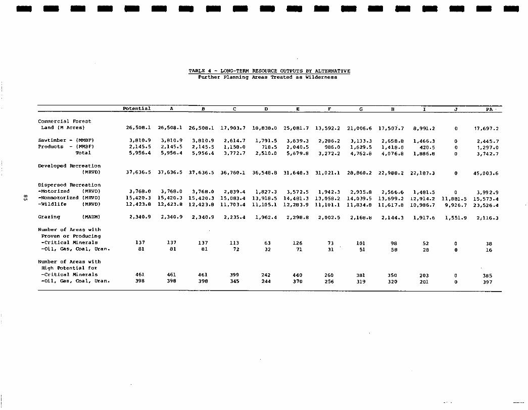
TABLE 4 - MNG-TERM BESOURCE OUTPUTS BY ALTERNATIVE Further Planning Areas Treated as Wilderness
Potential A B C D E F G H I J PA.
Commercial Forest Land (M Acres) 26,508.l 26,508.l 26.508-l 17.903.7 10,838.O 25,081.7 13.592.2 21,006.6 17,507.7 8,991.2
Sawtimber - (HMBF) 3.810.9 3,810.9 3.010.9 2,614.7 1.791.5 3,639.3 2,286.2 3,133.3 2,658.B 1.466.3 Products - (MMBF) 2,145.S 2,145-S 2,145.S 1,158.O 718.5 2,040-S 986.0 1,629.5 1,418.O 420.5
'Ibtal 5.956.4 5,956.4 5,956.4 3.772.7 2.510.0 5,679.a 3‘272.2 4.762.8 4,076.B 1.886.8
17,697.2
2.445.7 1,297.0 3‘742.7
Developed l&creation (MRVD) 37,636.S 37,636.S 37,636.S 36,760.l 36,548.B 31,648.3 31.021.1 28.860.2 22,980.2 22,187.3 0 45,003.6
Dispersed Recreation -Motorized (MRVD) -Wonmotorized (MRVD) -Wildlife (MWD)
3,768.O 3.768.0 3.768.0 2,039.4 1.827.3 3.572.5 1.942.3 2,935.B 2,566.6 1,481.S 0 3,992.g 15,420.3 15,420.3 15,420.3 15.083.4 13,918.S 14,481.3 13,058.2 14.039.5 13,699.2 12,914.2 11,881.5 15,573.4 12,423.B 12,423-B 12.423.8 11,703.4 11,105.l 12.283.9 11,101.l 11,834.B 11.617.8 10.986.7 9,926.7 23.526.4
2.340.9 2,340.g 2,340.g 2,235.4 1,962.4 2,298.E 2.002.5 2,168.B 2,144.3 1,917.6 1,551.g 2;116.3 Grazing (MAUM)
Number of Areas with Proven or Froducing -Critical Minerals -011, Gas, mal, Uran.
Number of Areas with High Potential for -Critical Minerals -Oil, Gas, Coal, Uran.
137 137 137 113 63 126 73 101 90 52 0 38 81 81 81 72 32 71 31 51 58 28 0 16
461 461 461 399 242 440 260 381 350 203 0 385 398 390 398 345 244 370 256 319 320 201 0 397

-
-
-
-
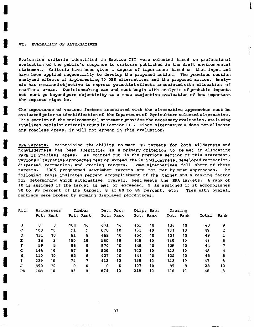
VI. EVALUATION OF ALTERNATIVES
I
Evaluation criteria identified in Section III were selected based on professional evaluation of the public's response to criteria published in the draft environmental statement. Criteria have been given a degree of importance based on that input and have been applied sequentially to develop the proposed action. The previous section analyzed effects of implementing10 DES alternatives and the proposed action. Analy- sis has remainedobjective to express potentialeffects associatedwith allocation of roadless areas. Decisionmaking can and must begin with analysis of probable impacts but must go beyondpure objectivity to a more subjective evaluation of how important the impacts might be.
The importance of various factors associated with the alternative approaches must be evaluatedpriortoidentificationof the Departmentof Agriculture selectedalternative. This sectionof the environmentalstatementprovidesthe necessaryevaluation, utilizing finalized decisioncriteriafoundin SectionIII. Since alternative A does notallocate any roadless areas, it will not appear in this evaluation.
BPA Targets. Maintaining the ability to meet RPA targets for both wilderness and nonwilderness has been identified as a primary criterion to be met in allocating BABE II roadless areas. As pointed out in the previous section of this statement, variousalternative approachesmeetor exceed the 2015wilderness,developedrecreation, dispersed recreation, and grazing targets. Some alternatives fall short of these targets. 1985 programmed sawtimber targets are not met by most approaches. The following table indicates percent accomplishment of the target and a ranking factor for determining which alternative, overall, best meets the BPA targets. A rank of 10 is assigned if the target is met or exceeded, 9 is assigned if it accomplishes 90 to 99 percent of the target, 8 if 80 to 89 percent, etc. Ties with overall rankings were broken by summing displayed percentages.
Alt.
B C D E F G H I J PA
Wilderness Pet. Bank
Timber Pet. Rank
Dev. Rzc. Pet. Rank
Disp. WC. Pet. Bank
Grazing Pet. Bank
0 0 104 10 671 10 155 10 134 10 100 10 91 9 670 10 153 10 131 10 131 10 91 9 668 10 154 10 131 10 38 3 100 10 580 10 149 10 130 10 59 5 96 9 570 10 148 10 128 10
146 10 87 a 530 10 142 10 123 10 110 10 83 8 427 10 141 10 125 10 229 10 74 7 413 10 139 10 123 10 690 10 0 0 0 0 107 10 89 0 168 10 a3 8 874 10 218 10 126 10
Total Bank
40 9 49 2 49 1 43 0 44 7 48 4 48 5 47 6 28 10 48 3
87
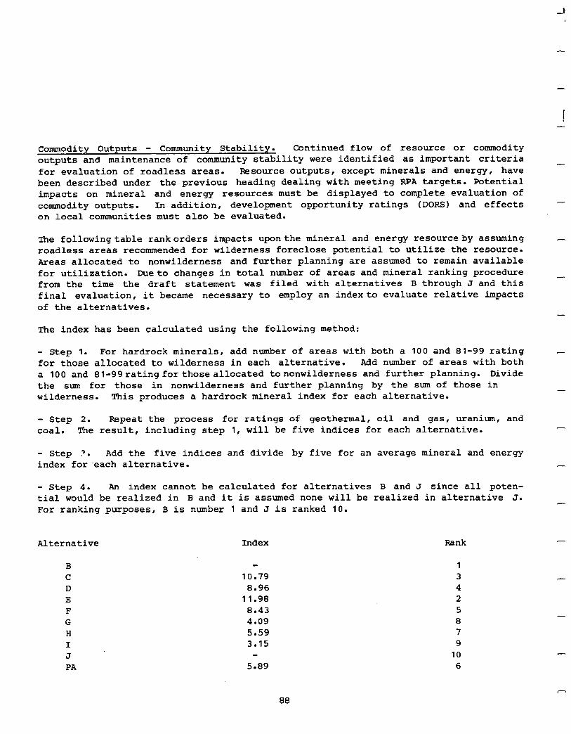
1 -
Commodity Outputs - Community Stability. Continued flow of resource or commodity outputs and maintenance of community stability were identified as important criteria - for evaluation of roadless areas. Resource outputs, except minerals and energy, have been described under the previous heading dealing with meeting RPA targets. Potential impacts on mineral and energy resources must be displayed to complete evaluation of commodity outputs. In addition, development opportunity ratings (DORS) and effects on local communities must also be evaluated.
-
The followingtable rankorders impacts uponthe mineral and energy resourceby assuming - roadless areas recommended for wilderness foreclose potential to utilize the resource. Areas allocated to nonwilderness and further planning are assumed to remain available for utilization. Dueto changes in total number of areas and mineral ranking procedure _ from the time the draft statement was filed with alternatives B through J and this final evaluation, it became necessary to employ an indexto evaluate relative impacts of the alternatives.
The index has been calculated using the following method:
- Step 1. For hardrock minerals, add number of areas with both a 100 and 81-99 rating - for those allocated to wilderness in each alternative. Add number of areas with both a 100 and 81-99ratingforthoseallocated tononwilderness and further planning. Divide the sum for those in nonwilderness and further planning by the sum of those in - wilderness. This produces a hardrock mineral index for each alternative.
- Step 2. Repeat the process for ratings of geothermal, oil and gas, uranium, and coal. The result, including step 1, will be five indices for each alternative. -
- Step ?. Add the five indices and divide by five for an average mineral and energy index for -each alternative. -
- Step 4. An index cannot be calculated for alternatives B and J since all poten- tial would be realized in B and it is assumed none will be realized in alternative J. - For ranking purposes, B is number 1 and J is ranked 10.
Alternative Index Rank
B C D E F G H I J PA
10.79 8.96
11.98 8.43 4.09 5.59 3.15
5.89
-
1 3 4 2 5 8 7 9
10 6
-
A
88
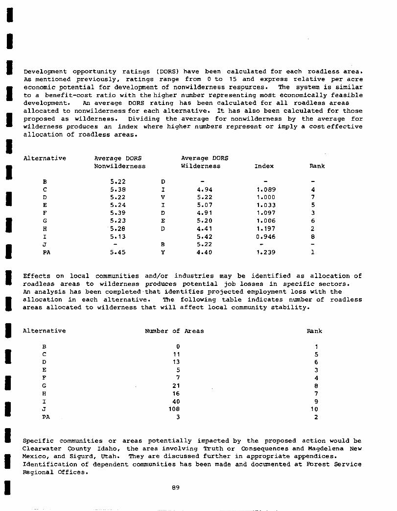
I 1 I I I I I I
Development opportunity ratings (DORS) have been calculated for each roadless area. As mentioned previously, ratings range from 0 to 15 and express relative per acre economic potential for development of nonwilderness resources. The system is similar to a benefit-cost ratio with thehigher number representing most economically feasible development. An average DORS rating has been calculated for all roadless areas allocated to nonwildernessfor each alternative. It has also been calculated for those proposed as wilderness. Dividing the average for nonwilderness by the average for wilderness produces an index where higher numbers represent or imply a costeffective allocation of roadless areas.
Alternative Average DORS Average DORS Nonwilderness Wilderness Index Rank
B C D E F G H I J PA
5.22 5.38 5.22 5.24 5.39 5.23 5.20 5.13
5.45 B Y
4.94 5.22 5.07 4.91 5.20 4.41 5.42 5.22 4.40
1.089 1.000 1.033 1.097 1.006 1.197 0.946
1.239
I Effects on local communities and/or industries may be identified as allocation of roadless areas to wilderness produces potential job losses in specific sectors. An analysis has been completed,that identifies projected employment loss with the
I allocation in each alternative. The following table indicates number of roadless areas allocated to wilderness that will affect local community stability.
I Alternative Number of Areas Rank
B
1 C D
0 1 11 5 13 6
E 5 3 I G F 21 7 8 4
H 16 7 40 9
108 10 3 2
I Specific communities or areas potentially impacted by the proposed action would be Clearwater County Idaho, the area involving Truth or Consequences and Magdelena New
I
Mexico, and Sigurd, Utah. They are discussed further in appropriate appendices. Identification of dependent communities has been made and documented at Forest Service Regional Offices.
89
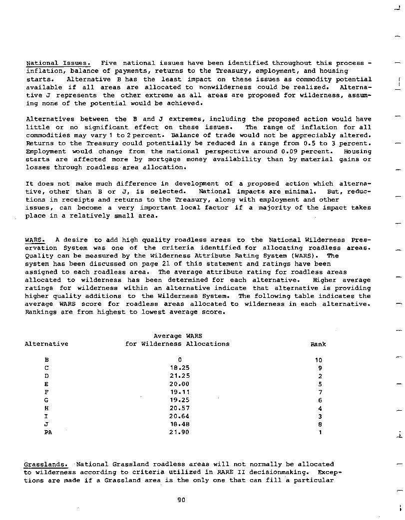
National Issues. Five national issues have been identified throughout this process - inflation, balance of payments , returns to the Treasury, employment, and housing starts. Alternative B has the least impact on these issues as commodity potential available if all areas are allocated to nonwilderness could be realized. Alterna- tive J represents the other extreme as all areas are proposed for wilderness, assum- ing none of the potential would be achieved.
Alternatives between the B and J extremes, including the proposed action would have little or no significant effect on these issues. The range of inflation for all commodities may vary1 to2percent. Balance of trade would not be appreciably altered. Returns to the Treasury could potentially be reduced in a range from 0.5 to 3 percent. Employment would change from the national perspective around 0.09 percent. Housing starts are affected more by mortgage money availability than by material gains or losses through roadless area allocation.
It does not make much difference in development of a proposed action which alterna- tive, other than B or J, is selected. National impacts are minimal. But, reduc- tions in receipts and returns to the Treasury, along with employment and other issues, can become a very important local factor if a majority of the impact takes place in a relatively small area.
-
1 -
WARS. A desire to add high quality roadless areas to the National Wilderness Pres- ervation System was one of the criteria identified for allocating roadless areas. Quality can be measured by the Wilderness Attribute Rating System (WARS). The system has been discussed on page 21 of this statement and ratings have been assigned to each roadless area. The average attribute rating for roadless areas allocated to wilderness has been determined for each alternative. Higher average ratings for wilderness within an alternative indicate that alternative is providing higher quality additions to the Wilderness System. The following table indicates the average WARS score for roadless areas allocated to wilderness in each alternative. Rankings are from highest to lowest average score.
-
Alternative Average WARS
for Wilderness Allocations Rank
B 0 10 C 18.25 9 D 21.25 2 E 20.00 5 F 19.11 7 G 19.25 6 H 20.57 4 I 20.64 3 J 18.48 8 PA 21.90 1 i
Grasslands. ,National Grassland roadless areas will not normally be allocated to wilderness according to criteria utilized in RARE II decisionmaking. Excep- tions are made if a Grassland area is the only one that can fill a particular
90 i
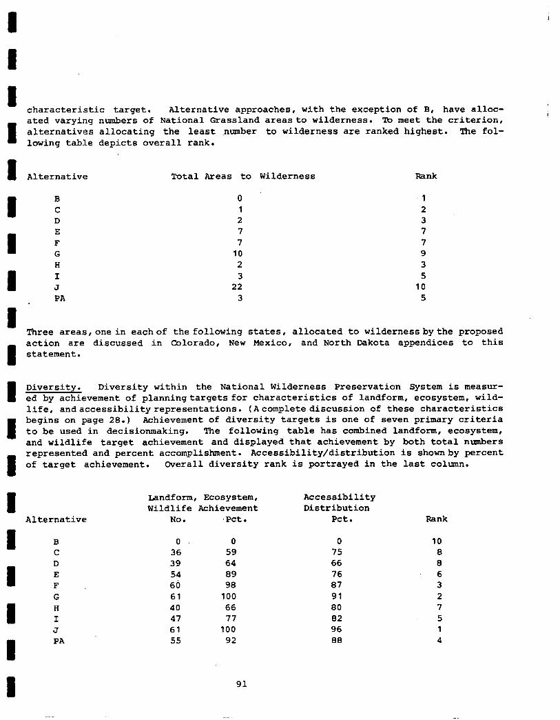
I I I characteristic target. Alternative approaches, with the exception of B, have alloc-
1
ated varying numbers of National Grassland areasto wilderness. To meet the criterion, alternatives allocating the least number to wilderness are ranked highest. The fol- lowing table depicts overall rank.
I Alternative Total Areas to Wilderness Rank
0 1 2 7 7
10
PA 3 5
1 Three areas,onein eachof the following states, allocated to wilderness bythe proposed
I
action are discussed in Oolorado, New Mexico, and North Dakota appendices to this statement.
1 Diversity. Diversity within the National Wilderness Preservation System is measur- ed by achievement of planningtargets for characteristics of landform, ecosystem, wild- life, andaccessibilityrepresentations. (Acomplete discussion of these characteristics
I
begins on page 28.1 Achievement of diversity targets is one of seven primary criteria to be used in decisionmaking. The following table has combined landform, ecosystem, and wildlife target achievement and displayed that achievement by both total numbers
I
represented and percent accomplishment. Accessibility/distribution is shownby percent of target achievement. Overall diversity rank is portrayed in the last column.
I Alternative
I B C
I D E F G
I H I J
I PA
Landform, Ecosystem, Accessibility Wildlife Achievement Distribution
No. .pct. Pet.
0 0 0 10 36 59 75 8 39 64 66 8 54 89 76 6 60 98 87 3 61 100 91 2 40 66 80 7 47 77 82 5 61 100 96 1 55 92 88 4
Hank
1 91
Public Agreement. Alternatives may be judged to be congruent with or in conflict with public response received on the draft environmental statement. A Congruence/ Conflict Index was applied to each alternative by first giving each roadless area a numeric value related to public preference for the allocation made by the alter- native. Thevalue will be 3 if there is strong public preference (85-100 percent), 2 if moderate (71-84 percent), and 1 if there is slight public preference (61-70 percent). Each value will be positive if the alternative allocates the area to a category preferred by publicresponseand negative it it does not. The Congruence/ Conflict Index (C/C11 is the algebraic average of the values (add all values and divide by number of areas). The following table indicates the Congruence/Conflict Index for each alternative. High positivenumbers indicate the most congruence and negative ntiers indicate conflicts with the proposed allocation.
Alternative c/c1 Rank
B .3997 4 C -.0434 0 D -.0629 9 E .4594 3 F .0788 5 G .4815 2 H .5369 1 I -.0371 7 J -.8277 10
TPA .0416 6
National Ranking. Alternative approaches can now be ranked one against another to determine which onebest meets primary criteria used for RARE II decisionmaking. The accompanying table uses six of seven criteria and their previously developed ranking (national issues were not ranked since variations between alternatives were virtually indistinguishable) to develop a total overall ranking. Minerals and energy,DORS,andaffectedconununityrankingsarecombined forcommodity/community stability rank. Summing entries for each of six factors Permits assignment of an overall, national rank for all alternatives.
The proposed action best meets decision criteria established for evaluation of alternative approaches. Although it does not consistently rank highest for all criteria, itenjoys, in total, awidemargin over other alternatives. This represents evaluation of the alternatives against the seven identified decision criteria. There were six additionalcriteria identified by public response asbeing important and other factors that have been employed in development of a proposed action. They are discussed and evaluated next.
-
-
-
-
-
-
92
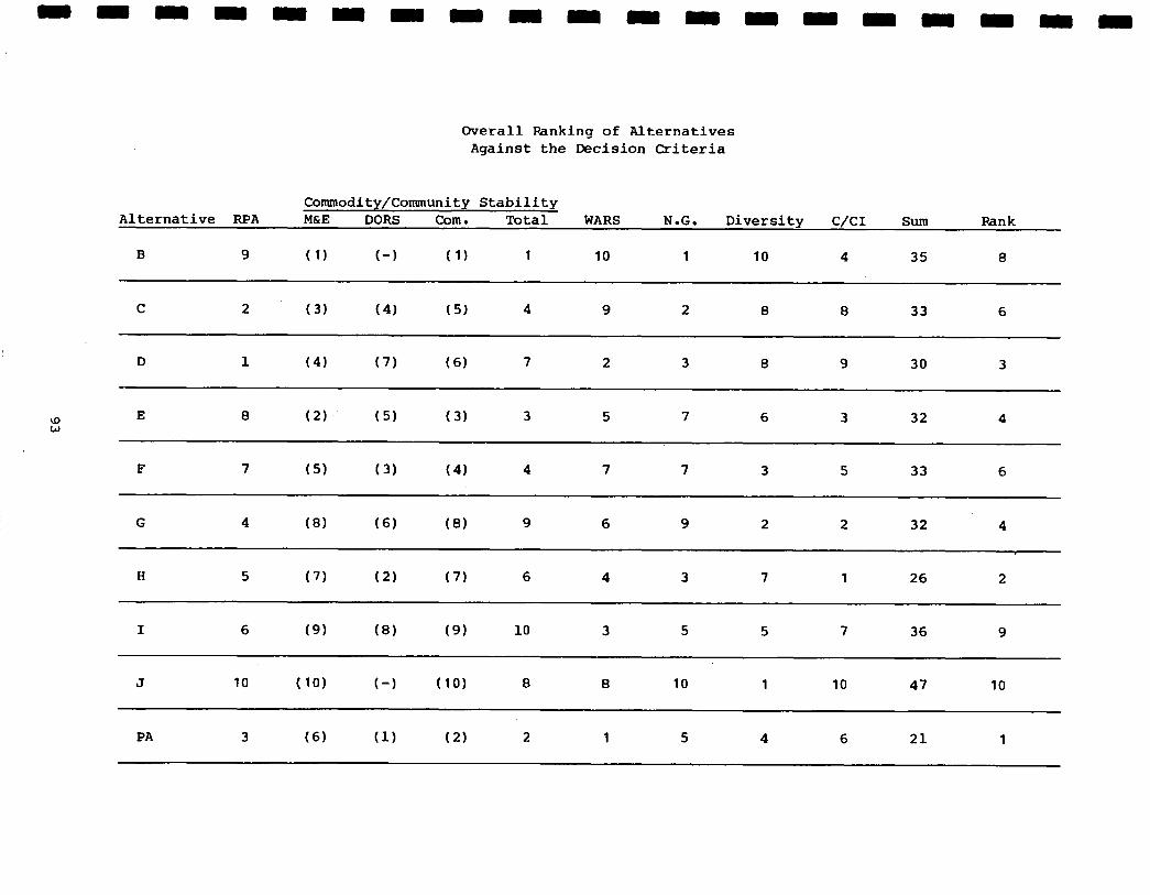
Overall Ranking of Alternatives Against the Decision Criteria
Commodity/Community Stability Alternative RPA M&E DORS Corn. Total WARS N.G. Diversity c/c1 sum Rank
B 9 (1) f-1 ( 1) 1 10 1 10 4 35 8
C 2. (3) (4) (5) 4 9 2 8 8 33 6
D 1 (4) (7) (6) 7 2 3 0 9 30 3
UY W
E 8 (2) (5) (3) 3 5 7 6 3 32 4
F 7 (5) (3) (41 4 7 7 3 5 33 6
G 4 (8) (6) (8) 9 6 9 2 2 32 4
H 5 (7) (2) (7) 6 4 3 7 1 26 2
I 6 (9) (8) (9) 10 3 5 5 7 36 9
J 10 (10) f-1 (10) 8 8 10 1 10 47 10
PA 3 (6) (1) (2) 2 1 5 4 6 21 1
-
Additional Criteria. Two supplementary criteria addressed the issue of considering existing or proposed wildernesses and contributions other Federal agencies can make in creating a well-rounded Wilderness System. Selection of roadless areas to be recommended for wilderness has fully considered the existing NWPS. Areas have been added when those additions will enhance the Wilderness System. Other areas have been proposed forwildernesstoestablishmoreappropriateboundariestoexisting wildernesses. Roadless areashavebeen allocated to further planning to comport with planning efforts on adjacent land managed by other Federal agencies. This action retains wilderness values on National Forest System lands pending outcome of other agency classification. This is essential since the public does notnormally recognize administrativeboundaries when viewing a specific .wilderness resource.
Existing wilderness study areas resulting from the original RARE effort were also recognized in development of the proposal. These areas were previously identified as having wilderness qualities that should be studied further for potential class- ification. Additionalareashavebeen addedand others have subsequentlybeen classified as wilderness resulting in approximately 9.4 million acres that may be identified as RARE I wilderness study areas. RARE II has recommended over 15 million acres for wilderness, including many study areas.
Two remaining supplementalcriteriadealt with a need to maintain opportunitytodevelop and utilize snow related recreation and consider development opportunity costs when allocating roadless areas. Potential down-hill ski facilities and other one-of-a-kind areas for snowmobiling use have usually been allocated to nonwilderness or further planning to retain this unique opportunity. With few exceptions, when wilderness values greatly exceedwinter sports potential , opportunity for snow related development has been retained. The second criteria for consideration of development opportunity costs is an integral part of decision making. It has been displayed as the DORS rating on page 89 of this evaluation.
Further Evaluation. The proposed action has so far emerged as the "best" alternative for allocation of RARE II inventoried roadless areas. It ranks highest when evaluated against decision criteria. It has been developed in response to public input received on the draft environmental statement. It meets the need for more quality wilderness while providing for a continuous flow of other nonwilderness values. It improves distribution throughout the National Wilderness Preservation System by proposing wil- derness in states that have not had designated areas. It improves diversity within the System by increasing representations of landform, ecosystem, and wildlife charac- teristics. Evaluation of alternatives B through J and the proposed action indicates the PA should be the Department of Agriculture selected alternative for allocation of RARE II roadless areas.
I
-
-
-
-
-
-
-
-
-
-
-
94
1 I I I I I I 1 I 1 I
II II II
VII. IDENTIFICATION OF THE DEPARTMENT OF AGRICULTURE SELECTED ALTERNATIVE
The RARE II decisionmaking process has systematically led to development of a selected alternative. Rationale involved in reachingthe decision includes seven decision criteria identified earlier in this statement, a series of "compelling reasons".for allocating roadless areas, and the Departmentof Agriculture's desire to provideawellrounded, diversified Wilderness System. Useof decision criteria in developing a proposed course of action has been described both in Section IV and VI. It will not be reiterated here. It is important to elaborate further on compelling reasons for allocation of roadless areas and highlight the Department's desire to provide quality additions to the National Wilderness Preservation System.
Throughout the decisionmaking process, a primary goal has been to achieve a high quality system with minimum impact on commodity outputs. Uniqueness of a road- less area, superlative wilderness qualities, or containment of highly unusual features have been compelling reasons for recommending an area.as wilderness. Special consideration was also given to those areas felt to be necessary to facilitate management of an existing wilderness or provide for its expansion. It is also desirable to add roadless areas to the System that will improve total distribution of wilderness throughout the country. This factor was a compelling reasonfor proposing wilderness for roadless areas in some eastern and midwestern states. TheDepartment believes it important to add roadless areas to the System that provide for a diversity of ecosystems, wilderness associated wildlife, and landformtypes. The support of elected officials, such asCongressmen, Governors, or others, for wilderness or nonwilderness designation is also a reason for that recommendation.
Resource tradeoffs were compelling reasons for allocating a roadless area to either the wilderness or nonwilderness category. Areas with high oil and gas potential were normally not allocated to wilderness so options for realizingthis resource potential could be maintained. But, if an area was small enough to permit slant drilling outside the boundary, it could be allocated to wilderness. High timber valueshavebeen used as reasonsto allocate an areato nonwilderness. It is recognized that these and similar values may occupy only a small portion of the roadless area and may be realistically excised with boundary adjustments. This practice has been applied in many cases to retain high quality wilderness potential of an area and still realize commodity benefits available within it. Allocations have also been made throughout this process to resolve long-standing controversies andreact to stated public opinion. Roadless areas, in most cases, have been allocated to nonwilderness or further planning when mineral and energy potential is high. In areas with proven or producing resources, the area was usually allocated to nonwilderness.
Other compelling reasons for allocating a roadless area to nonwilderness include existence of wildlife habitat improvement projects developed in cooperation with
* state game departments or if the area must remain as nonwilderness for full implementation of a recovery plan for threatened or endangered wildlife species.
95
In other instances, areas have been allocated to nonwilderness to permit essential, heavy impact resource activities such as extensive fuel break construction in southern California. Finally,roadless areas were allocated to nonwilderness whenthe cumulative effect of resource loss would cause significant dislocation of or complete loss of a segment of a localized economic base. An example'is the loss of significant numbers of livestock industry jobs within a segment of a county, as might occur in some parts of western Colorado and North Dakota.
A primary compelling reason for allocating an area to further planning was the need for gathering of additional data on which to base a decision. This allocation has been utilized throughout the process for this and other reasons but it,has always been theDepartment's goal tominimizethe acreageinthis category. There are instances, particularly where some involve the Bureau of Land Management, that roadless areas were allocated to further planning to permit joint planning of National Forest and contiguous lands of another agency. Finally, the need for an in-depth studyto determine boundary adjustments beyond the capability of RARE II has been a compelling reason for allocating areas to further planning.
It is recognized there are numerous situations involved with the process of allocating roadlessareasthatcanandmust beresolvedwithinthe politicalarena. Final boundaries, magnitude of resource values foregone, and the question of whether an area should be classified wilderness following the Administration's recommendation will only be resolved inCongress. Input from over 359,000 individuals, stated positions of elected officials, and the Administration's desire to provide a stable flow of material from National Forests and Grasslandsandanenduringwildernessresource for future generations have helped to shape this proposed action. There are tradeoffs involved in proposing these decisions and resolution of tradeoff conflict can only become a reality at the political level. This proposed action,developed through the numerous steps identified in this document, is designed to fill the needs of wilderness and nonwilderness use on the National Forest System throughout the United States.
The proposed action recommends addition of 15,088,838 acres to the National Wilder- ness Preservation System. It will permit development of the 36,151,558 acres allo- cated to nonwilderness use and will hold 10,796,508 acres in further planning pending completion of land management plans. The proposed action, in recommending additions to the NWPS has selected high quality areas that will increase diversity in and dis- tribution of the System. Many areas' Congressionally mandated for wilderness study are recommended for wilderness RARE II, eliminating need for further study. This action was proposed for those areas where public support, resource tradeoffs, and other decisionmaking factors suggest the area should be resolved now. Through the allocation of roadless areas to nonwilderness use and the potential remaining in those allocated to further planning, the National Forest System commitment for resource and commodity outputs will be met. The proposed. action represents the combination of roadless area allocations that will best provide for both wilderness and nonwilderness needs of the Nation.
A
-
-
-
-
-
-
-
-
-5
The task remaining isto implement the course of action proposed inthis final environ- mental statement. Areas recommended for wilderness will be presented to Congress - as legislative proposals. This package will, along with currently endorsed areas and
96
I I 1 I I 1 I I I 1 II II II
potential allocations fromthe further planning category represent theNational Forest System share of the National Wilderness Preservation System. Action on the proposal will berecommended tothe96th Congress. Minoradjustments ofroadless areaboundaries to improve management, for instance to provide recognizable boundaries or permit trailhead facilities, will be made before Congressional hearings on the areas are conducted.
Areas allocated to nonwilderness will be available for nonwilderness use when the decision presented in this statement is implemented. Entry into these areas and utilization of resources will be regulated by current laws, regulations, and within constraints of existing management plans. As current plans are updated in accordance with Section 6 of the National Forest Management Act, .RARE II inventoried roadless areas allocated to nonwilderness need not be considered further for wilderness.
Roadlessareasallocated tofurtherplanningwill be considered for all uses, including wilderness, during the land and resource management planning or specific project planning process conducted at the local forest level. This category also includes some areas Congress designated for study that will be decided by other than the land management planning process. In so far as possible, wilderness quality will be retainedintheroadlessareasallocated tofurtherplanning andcertain incompatible management activities such as timber harvest and associated road construction will be prohibited.
Unless there is additional exploration for oil and gas resources permitted in many areas allocated to further planning, subsequent wilderness - nonwilderness decisions will haveto rely ondata not much betterthan currently exists. Knowledge about the oil and gas potential varies considerably between roadless areas but, at best, is fragmentary and far from conclusive. In most areas, virtually no exploration for
oil and gas has occurred. In others, geophysical surveys and a few widely spaced, unproductive wells have been drilled.
Exploration by drilling to determine oil and gas potential is essential in reaching conclusions in land management or project plans that allocate roadless areas. such exploration would provide the only rational basis for a determination on whether national interest requires production of oil and gas or whether the area should be included inthewilderness System. If exploration establishes absence of significant quantities of these minerals, the planning process can be completed without further delay. Significant oil and gas resources could be unknowingly included in statutory wildernesses at a time when production of oil and gas would be highly beneficial from anationalenergy standpoint. Becausetheissuanceofmineral leasesin established wildernesses is presently authorized but highly controversial, it is important that conflicts between oil and gas and wilderness resources be resolved prior to the completion of land management planning.
For th)e above reasons, oil and gas exploration (including drilling where adequate explorati.on requires it) will be considered an integral part of the further planning process. Oil industry exploration proposals will be examined on a case-by-case, site-specific basis in full compliance with the National Environmental policy Act. This means before on-the-ground activities are permitted, environmental assessment reports will be made. Where proposedactivities, individually or cumulatively, would have major effectsonqualityofthe human environment, environmental impact statements will be preparedwith fullpublic involvement. Where environmental impacts are judged unacceptable, the proposed activities will be disapproved.
97
-
-
Exploration drilling involves drill site construction and usually requires the con- struction anduse of access ways. If these facilities are constructed with short-term use and prompt reclamation in mind and are located so as to avoid areas having extremely high environmental sensitivity, impacts on wilderness values should be minimal in all but a few cases. Full reclamation can usually mitigate impacts to such a degree that wilderness designation will remain a viable option.
Approval of exploration proposals will be contingent upon concurrence of lessees/ operators and the Secretary of the Interior that new leases and operating plans under existing leases contain, as appropriate, stipulations providing that:
- Seismic prospecting must precede drilling, unless Geological Survey certifies that drilling is the next logical step in the process of determining whether an area contains oil or gas in commercial quantities.
- No surface occupancy will be permitted for construction of access ways and drill sites in areas of extremely high environmental sensitivity.
- Access way construction will be permitted only where other methods of access are clearly impractical. Access wayswill be built toa standard no higher than required to move the drilling rig in and out. Surface resources will be protected during the period that the access ways are in use.
- If a well capable of production is not discovered, the access way and drill site will be reclaimed to a standard that encourages prompt return of disturbed areas to the prior roadless condition.
- Commercial production of oil and gas and development drilling will not be approved until allocationdecisionshavebeen madethrough thelandmanagement planning process.
The laststipulationis necessaryto preserve a wilderness option. Since the Secretary of the Interior has authority (43 CFR 3103.3-81, in the interest of conservation, to suspend payment of lease rentals and minimum royalties and to extend the term of a lease, lessee/operator rights are protected duringthe period thelandallocation decision is being made.
-
-
-
-
-
-
This theniihowthe selectedalternative wasdeveloped bythe Departmentof Agriculture for allocation of RARE II inventoried roadless areas. It is believed to be the best possible solution to meet the many diverse needs of the public that utilize and enjoy the multiple use benefits of the National Forestsand National Grasslands.
98
VIII. CONSULTATION WITH OTHERS
RARE II formally began early in June 1977 with a briefing for Federal agencies and representatives fromnationalspecialinterestorganizations. This meeting was followed by a Department of Agriculture news release that identified the RARE II.process and opportunity for public involvement in the effort. Other briefings were held during the summer, both to inform and to involve Congressmen and their staffs, Federal agency staff, and representatives from national organizations.
Involvement of the general public began during this same period with information being made available about the process and with establishment of workshops through- out the country to seek public comment. More than 50,000 people responded, includ- ing 17,000 who attended the 227 workshops conducted nationwide.
Workshops and requests for input during the summer of 1977 were directed toward two specific issues. First was a request to review the inventory of roadless and undeveloped areas the Forest Service identified and mapped according to criteria established toinsurenationalconsistency. Thepublicwasasked to pointoutoversights made by the Forest Service and suggest areas that should be included in ordeleted from the inventory.
The second issue was designed to allow the public an opportunity to identify those factors it felt should be considered in evaluating potential additionstotheNationa1 Wilderness Preservation System. Factors were of two general types: onedealt with those values that would increase quality of the System and the other dealt with social andeconomic impacts that should be used in evaluating tradeoffs of wilderness designation. These characteristics were utilizedin generating alternativesdescribed in Section IV. This phase of RARE II was initially completed with a listing of the inventoried roadless areas and criteria that should be considered published in the November 18, 1977 Federal Register.
Periodic briefings of Congressional staff, Federal agencie.6, national organizations, and others wereheld throughout the winter of 1977-78 to updatethe status of RARE II and identify next steps in the process. The RARE II staff group discussed data collection, target assignments, alternative generation, socioeconomic analysis, and the draft environmental statement.
During this same period, meetings were held with all wilderness managing agencies to identify components of the System, potential additions to it, and the relation- ship of landform, ecosystem, wildlife, and accessibility in development of a quality National Wilderness Preservation System. An interagency wilderness policytask force was created at the Assistant Secretary level'to expedite the process. The Forest Service conducted numerous work sessions during late 1977 and early 1978 to which individuals representing various special interest groups were invited and did attend as full working partners. Development of a system to rate wilderness attributes, use of an economic input/output model, generation of alternatives, planning for a nationalpublicinvolvementeffort,andother subjects were developedwith these groups. Input received during these meetings has been utilized to develop an understanding of and strengthen the RARE II process.
99
Data gathered by the Forest Service from in-Service sources and also from other agencies, organizations, and companies, along with response received from the publicwereused to developa series of alternative approaches in April and May of 1978. They were displayed and made available for- public review and comment in a draft environmental statement filed with the Environmental Protection Agency on June 15, 1978.' The National Statement, supplemented by twenty individual State and/or geographic area supplements, was made available to Federal and State agencies,national and regional special interest groups ,and numerous individuals throughout the country.
-
Public briefings were conducted shortlyafter filing the statement to explain the RARE II process and answer questions concerning alternative approaches displayed in the draft. In addition, the public was invited to review resource and other data made available at all Forest Service field offices and visitindividualroad- less areas to obtain first-hand knowledge before commenting on the environmental statement.
The public was asked to specifically respond to various alternative approaches, criteriatobe usedinevaluating alternatives andmaking adecision, andallocation of individual roadless areas. The public had until October 1, 1978, to submit their comment to the Forest Service. Response was overwhelming in that 264,093 separate inputs (personal letters, resolutions, petitions, form letters, and response forms,) bearing 359,414 signatureswerereceived. Acentralizedanalysis of the comments was made in Salt Lake City, Utah. Content analysis was the com- puterized process used to record RARE II public comment and provide an objective method for analyzing the large number of comments. The analysis is summarized in Appendix U, page U-l through U-55. Summary of the complete content analysis process may be reviewed in Regional Offices of the Forest Service. The input received is available for review in Salt Lake City.
Commentreceived during the 3 1/2monthpublicreview periodwas primarilydirected .to three issues identifiedinthedraftstatement. Thebulkofresponse wasdirected toward thepreferred allocationof individual roadless areas and reasons for that preference. Next in magnitudewasresponse concerned with alternative approaches followed bycommentonidentified decisioncriteria. In addition, numerous individuals commentedonthe RAREIIprocessandadequacyorinadequacyof thedraftenvironmental statement. It is not feasible to repeateachindividual's comments on the draft so it must be summarized. Neither is itpossible toduplicate over 264,OOOindividual responses so only representative letters will be reprintedinthis final environmental statement. They may be found in appendix V.
Commentsconcerningthedraftstatement,the RARE IIprocess,etc.and theDepartment of Agriculture's response to the comment follow. Numbers in parenthesis following the comment indicate the. number of inputs (I) expressing specific comment and number of signatures (S) the input represents. If no numbers are shown, comment was made primarily by one input.
1. Comment. Opposition to the RARE II program and process was stated in this comment. Comment said RARE II was a land grab, a waste of tax dollars, and unnecessary. We shouldn't decide use of land for future generations based on this process. (I - 5074, S - 11,669)
100
I
Response. The RARE II process is necessary for timely resolution of the road- less area issue. It will not, over the long term, waste tax dollars as the issue would still need tobedecided through many local land management planning processes. The process does not acquire privately owned land but only allocates National Forest System lands. RARE II is an integral part of the Forest Service land management planning process dealing with inventoried roadless areas.
2. Comment. Roadless areas should be evaluated as individual areas at the local planning level. (I - 4106, S - 4325)
Response. Resolution of non-selected roadless areas remaining following completion of the original RARE effort and a need to add areas previously overlooked necessi- tated RARE II. The goal of RARE II is to consider the entire National Forest System at one time so that local variations in inventory and allocation of the areas may be minimized. Further, areas are evaluated in total to assure full consideration of national, cummulative effects regarding availability and goods and services for the entire National Forest System. To evaluate roadless areas individually would defeat this goal.
3. Comment. The draft environmental statement is slanted toward nonwilderness as benefits of wilderness are not discussed. (I - 3139, S - 4804)
Response. The discussion of Wilderness in Section V, Effects of Implementation, has been expanded to address positive benefits obtained from wilderness classification. In addition, discussion of each resource such as air, water, vegetation, etc. has been expanded to elaborate further on positive benefits wilderness would provide for each.
4. Comment. Range of alternativesdisplayed inthedraft isn't broad enough. Alter- natives are generally biased in favor of nonwilderness. (I - 3026, S - 3456)
Response. A complete range of alternatives is expressed by inclusion of both B and J - all nonwilderness and all wilderness alternatives. A ntier of alterna- tives between these extremes produce more nonwilderness areas than wilderness, but solely in response to a mechanical generation process that attempts to build ahigh quality Wilderness Systemwith leastpracticalresource output cost. Using procedures that only utilized one part of each alternative generation process mayhave provided more wilderness areas but would not represent realistic tradeoff issues shown in the alternatives displayed. The public, as emphasized in the transmittal letter at the front of the draft statement, was encouraged to look at various alternative approaches and comment on criteria utilized todevelop approaches. This process then permitted public response and/or acceptance of singular or multiple factors used in building an alternative. Response received was used in developing the preferred alternative contained in this final statement.
5. Comment. More time is needed to permit the Forest Service to gather and analyze more data for RARE II as well as a need for more time for the public to respond. This comment was often accompanied by both formal and informal requests to extend the deadline for completion of RARE II. The requests came from local, state, and Federal agencies and organizations, and numerous elected officials. (I - 2377, S - 3288)
101
i
-
Response. Commitment of the Administrationto timely completion of the RARE II effort does not permit any flexibility or extensions of time in responding to RARE II. The Forest Service has utilized its total resources within available timeframes to assimilate essential data for conducting the evaluation process. The process must be completed without stopping management of the total National Forest System. The time periodallotted to respond tothedraftstatement exceeded the 60 days required by Forest Service policy as over 100 days were provided between the June 15 date of filing and the October 1 close of record. Formal requests to extend the time period for receipt of public response were handled on an individual basis.
6. Comment. The draftenvironmentalstatementis consideredinadequate. (I - 2316, s- 3116)
Response. The final environmental statement has been revised to strengthen the analysis. Numerous response to comments in this section point out areas of the draft that havebeen rewritten. General comment that the environmental statement is inadequate can only be responded to in a general way. Specific comments on inadequacy have been addressed throughout this section.
7. Comment. Bnphasis inthe draft statement is placed on benefits of development ratherthan what developent costs might be. (I - 1198, S - 1348) An additional comment was received that canbe addressed in conjunction with the first comment. It said evaluation and assessment of economic impacts is basically inadequate. (I - 804, S - 1351)
Response. Actualcosts of developing each individual roadless area are virtually impossible to obtain for use of the area is not known. This more intense level of analysis can only be accomplished at the local planning level. However, j following issuance of the draft, the Forest Service recognized a need to be able to evaluate roadless areas from the standpoint of value received versus dollars spent to obtain that benefit. The result was the Developent @portunity Rating System (DORS). The system assumes full nonwilderness resourcedevelopment of each roadless area and estimated costs necessary to develop it. A rating is assigned from 0 to 15representing costeffectiveness of the roadless area. (The system is explained more fully in appendix W). The rating is used in selecting areas for either a wilderness or nonwilderness allocation to ascertain more cost effective areas areavailableforuse. The rating system is mostusefulin making allocations when allother factors are equal. Also, analysis andevaluation of economic impacts when making specific allocations has been improved with refinement of the input/ output models and more current employment statistics.
8. Comment. There wastoo little time for public response. (I - 719, S - 1151)
-
-
-
Response. Timing for issuance of the RARE II Draft Environmental Statement was planned to coincide with the 1978 summer field season, giving the public an opportunityto get their feetonthe ground in individual roadless areas. The time period for response was from filing date of the draft, June 15, until October 1, or about 108 days. This time period exceeds the required time for public review of a draft. environmental statement. It was felt to be sufficient for analysis of RARE II alternatives.
102
9. Comment. The draft environmental statement was It was too complex and contained too much information.
hard to read and understand. (I - 706, S - 1003)
Response. The final statement has been written with the need to keep a very complex process understandable. Phraseology and terms unique to the Forest Service have been reduced to enhance readibility of the document. The amount of information contained in the draft must be carried through the understanding of the RARE II process.
final and even expanded to insure
10. Comment. There was not enough information presented in the draft to make a decision. The analysis was shallow, misleading, and contained unsupported facts. (I - 607, S - 719)
Response. The amount of detail presented in the draft required supplementation by the input received on the draft to complete the decisionmaking process. It was stated in the transmittal letter that the public's input was a necessary part of the total RARE II process. Public preference for allocation of individual roadless areas, alternative approaches, and decision criteria were identified as essential ingredients in the decisionmaking process. At the time the draft was filed, there was notenoughinformationto make adecision and this fact was so noted. The analysis has been strengthened in each of the resource use areas with insertion of new data, etc. Factsand figures utilized throughout the statementwhen nototherwise footnoted are Forest Service statisticsobtained fromday-to-dayworkingpapers andother reports such as RIM (Recreation Information Management) etc. Other facts and information used have been attributed to their respective sources.
11. Comment. A cost/benefit analysis has not been used in the draft statement. (I - 565, S -785)
Response; A cost/benefit analysis per se is not required in an environmental state- ment. It is essential that economic effects of the proposed action and alternatives to the proposal are analyzed. Economic analysis in the draft utilized an input/ output model addressing basic issues of employment, population, income, and value added to the economy. Utilization of this modeling technique along with the DORS process will indicate economic effects and give a feel for economic feasibility of development.
12. Comment. The Wilderness Attribute Rating System (WARS) is arbitrary in concept and poorly designed. (I - 523, S - 1150)
Response. WARS is built upon those indicators of wilderness quality specifically identified in the Wilderness Act of 1964. It assigns a rating of from 1 to 7 that indicateshowwellaroadlessareameets criteria forbeing natural, forbeing apparently natural, and for providing opportunityfor solitude anda primitive recreation exper- ience. Thesystemalsoratessupplementarycharacteristics suchasscenery, educational, scientific, and historical values as identified in the Act. TheWilderness Attribute Rating System is felt to be an objective system for rating wilderness attributes of a roadless area since it utilizes those factors specifically identified in the Act. It is agreed the numerical range could be different than the l-7 range applied
103
-
- but the system would remain intact. A more objective system that is perhaps "less" arbitrary than WARS has not been suggested. Application of the system as discussed on page 22 of this statement, has been uniformly applied with outside, interested individuals reviewing the assigned ratings.
13. Comment. Effects of implementing alternatives on ecosystems and evaluation and assessment of ecosystems is inadequate. (I - 498, S - 663)
Response. Alternatives displayedinthe draft environmental statement provided varying representations of ecosystems identified for the RARE II evaluation process. The goal of achievingthis characteristic wasdeveloped in reponse to the public's stated need forfactorstobe used in adding areastothewilderness System. Targets assigned to meet this goal were established by the Forest Service based on their perception of an adequate number ofareasto represent each ecosystem. Ecosystems weredeveloped by combining Bailey's ecoregions and Kuchler's potential natural vegetation. This combination, while regarded by some as being too extensive, was utilized because it is refined enough tobe meaningful but not so intensive asto become unmanageable. Delineation of ecosystems as used in the draft statement will continue to be used in the final.
14. Comment. A good job was done in the draft statement to display alternatives and environmental impact. RARE II is a commendable effort undertaken by the Forest Service. (I - 479, S - 1094)
Response. No response necessary.
15. Comment. The RARE II inventory and analysis in the draft statement is in error but for two opposing reasons. First, some people felt that it did not include all roadless areas while others felt it included areas that are roaded. (I - 439, s- 665)
Response. Guidelines published in 1977 to direct the RARE II inventory effort have been strictly adhered to throughout the process. Challenges to the inventory have been addressed on a case-by-case basis with determinations made to either include or exclude areas. The inventory at this time is complete with most of the challenges resolved.
16. Comment. Assessment and evaluation of the wilderness resource are inadequate. Benefits of wilderness classification need to be stated. (I - 435, S - 468)
Response. The final environmental statement has been expanded to include positive wilderness benefits from the standpoint of both enhancing the Wilderness System and protecting critical resources. Specifically, discussions of vegetation, soil, air, water, and environmental amenities have been rewritten.
17. Comment. Assessment and evaluation of the minerals and energy resources are inadequate. ~of enough is known of these resources on which to base a decision. No roadlessareas should berecommended forwildernessclassificationuntil the mineral and energy potential is known. (I - 425, S - 884)
I -
-
-
Response. Current information regarding minerals and energy has been compiled to develop a numerical rating system for potential. The system is more fully explained
104
on page 22. It updates knowledge of the resource and permits use of a more precise evaluation tool in reaching decisions for allocation of roadless areas. Due to its very nature, not all can be known of mineral and energy potential contained within the RARE II areas. The resource was a factor used in the decision making process and normally, roadless areas with proven, producing, or high potential mineral or energy resources were not recommended for wilderness.
18. Comment. Assessment and evaluation of landform are inadequate. Iandform types are too broad to be used as a characteristic. (I - 355, S - 396)
Response. Landfonn types as described by Hammond have been used to establish goals for equitable representations of physiographic regions. Targets assigned by the Forest Service were determined to be adequate to meet the goal. Further breakdown of Hammond's physical subdivisions would prove unmanageable in addressing the issue of adding representative landform types to the Wilderness System.
19. Comment. Evaluation criteria are not explained and are inadequate. (I - 348, S- 433)
Response. Evaluation criteria and the explained on page 19, 67, 68, and 69
role they would play in decision making was of the draft environmental statement. They
were identified as being those factors important in developing a proposed course of actiontobedisplayed inthe final environmental statement. Evaluation (decision) criteria were tentatively proposed in the draft as factors the Forest Service felt should be considered in decisionmaking, with a request for public comment on them. Many individuals responded to the proposed criteria and also suggested additional criteria. Any inadequacies identified during public review ofcriteria were pointed out by individuals responding to the draft.
20. Comment. The RARE II evaluation doesn't reflect public involvement. (I - 343, s- 502)
Response. The development of alternatives displayed in the draft statement was based ona perceivedpublic need forbothwilderness andnonwilderness values. Certain characteristics the public identified were used in creating alternatives. But, the total public was not and could not realistically be involved in the generation of alternatives, the first step in the evaluation process. Before public involvement could become a realistic part of the total process, alternatives had to be prepared to give them something with which to react. That public involvement period ended on October 1, 1978, and saw over 359,000 individuals become involved in RARE II. That involvement is reflected in development of the proposed action displayed in this environmental statement.
21. Comment. There was too little publicity given to the RARE II process. (I - 329, S - 558)
Response. Periodic briefings, news releases, and spot announcements on radio and TV were some of many techniques used to acquaint the public with RARE II. Articles concerning the program appeared in almost every newspaper and special interest peri- odical. RARE II represents one of the largest public involvement efforts the Forest Servicehas undertaken. Additional publicity will be provided when the final environ- mental statement is filed with EPA.
105
L
-
-
22. Comment. The draft environmental statement is slanted toward wilderness as benefits of nonwilderness are not discussed. (I - 320, S - 344)
Response. Alternative approaches displayed in the draft environmental statement spannedacompleterange of options for allocating roadless areas. Approaches were based upon factors designed toproducevariousmixesofwilderness andnonwilderness type values. The mix was felt to be equitable. The final statement compares a proposed course of action against the samedraft alternativesbut has updated the analysis describing benefits of nonwilderness use. The discussion of wilderness benefits has also been strengthened.
23. Comment. Effectsof implementinga seriesofalternativesonthetimberresource is inadequate. It has not been properly assessedand evaluated. (I - 314, S - 765)
Response. The draft statement displayed timber value potential that would be realizedwithalternative approaches developed bytheprocess. Valueswereexpressed in terms of millions of board feet of sawtimber and products available as areas are allocated to nonwilderness use. Value foregone is timber volume that could not be realized if areas were allocated to wilderness. Potential physical and biological impacts were not a part of the evaluation. As stated at thebeginning of SectionV, Effectsof Implementation,multiple use managementpractices employed by the Forest Service are not an issue when roadless areas are allocated. Site specific impacts of timber harvest will be analyzed and evaluated in further land and resource management planning efforts.
24. Comment. Evaluation and assessnent of the wildlife and fish resource are inadequate as are effects of implementing the alternatives. (I - 301, S - 424)
Response. Discussion ofpotential for modification, improvement, or retention of fish and wildlife habitat has been updated in the final environmental statement. As described in Section V, it is virtually impossible to quantify the degree of impact for type and/or intensity of use of the areas allocated to nonwilderness is not known. General observations dealing with species adversely affected or beneficiated are the limit of the analysis.
25. Comment. The draft environmenal statement is not based on fact. (I - 264, S- 322)
Response. The collection, storage, andretrievalof over 300 individual pieces of data for each roadless area is a monumental task. As stated inthe draft,data is constantlybeing checkedandupdated to insure the most complete setof information possible. Itisthesedataor facts upon whichassessment, evaluation, andselection of a,proposed action are based.
26. Comment. Thedraft environmental statement does not meet legal requirements as spelled out bythe National Environmental Policy Act - NEPA. (I - 182, S-324)
-
-
Response. Some specificexamplescited byrespondents makingthis comment havebeen identified‘throughout this sectionas specific comment. Pesponsehasbeen prepared for each of these specific comments. The final environmental statement has been updated toreflectconcurrancewith specificinadequacies pointedout during public
106
review of the document. General statements that it does not meet legal requirements cannot be addressed as no specific issues were raised.
27. Comment. Effects of implementing a series of alternatives on the Resources Planning Act (RPA) are inadequate. Evaluation and assessment of RPA needs strength- ening. (I - 182, S - 235)
Response.' Analysis of RPA in Section V has been revised to reflect updated targets and resource potential. Use of RPA targets in decision making was identified as an important factor by the public and has been expanded to show how targets are achieved through the full range of alternative approaches.
28. Comment. Effects of implementing the alternatives on the recreation resource are inadequate. Assessment and evaluation are inadequate. (I - 178, S - 197)
Response. General impacts associated with both wilderness and nonwilderness allo- cations have been analyzed. At this level of planning, it is virtually impossible to identify site specific recreation impacts. They must and can only be described as potential foregoneifexcluded bythe allocation or potentialrealizedifpermitted.
29. Comment. Evaluation and assessment of social concerns are inadequate as are the effectsof implementation. (I - 154, S - 172)
Response. Social assessment displayed in the draft statement was based on Forest Service perception ofwhatsocialchanges might be realized. As a professionalassess- ment, it had not yet been supported by public response. Two hundred, and sixty- four thousand responses to the draft statement have strengthened social analysis by supporting or rejecting earlier suppositions. With the additional data, social assessment has been strengthened in the final statement and utilized fully in the decision making process.
30. Comment. The draft environmental statement is sufficient. It is an adequate document that meets NEPA requirements. (I - 145, S - 160)
Response. No response required.
31. Comment. Evaluation, assessment,andeffectsonthewater resource are inadequate. (I - 130, S - 148)
Response. Effects of implementing alternatives on the water resource have been revised to address inadequacies identified by this comment. Specific data from the Environmental Protection Agency and an expanded discussion of Forest Service management techniques for water quality protection have been included. Analysis has been reviewed with EPA prior to its inclusion in the final statement. It is felt to now be adequate.
32. Comment. Effects of implementing the alternatives on resources are inadequate. (I - 108, S,- 114)
Response. Strengthening specific resource analysis has been discussed under many of the numbered comments of this section.
107
33. Comment. Effects of implementing alternatives on the range resource are inadequate as are the evaluation and assessment.' (I - 103, S - 107)
Response. This resource heading has also been revised to more adequately analyze potential effects. of major significance is the discussion of immediate or short range impacts as areas are allocated to wilderness. Grazing is a permitted use of wilderness and reductions of use were difficult to comprehend. With prohibition of certain management techniques under wilderness classification, capacity of the range is eventually reduced but not immediately. Cleaning up discussion of short term losses responds to comments expressed about the range resource.
34. Comment. Alternatives were poorly described in the draft environmental state- ment. (I-94, S-240)
Response. Terminology and factors used in development of alternatives are difficult to understand if ,only the quick summary of each option is read. An understanding of component factors and combinations used to assemble each option is necessary to comprehend thedescriptions. Descriptionshavebeen re-examinedandrevised to achieve a higher degree of consistency.
35. Comment. Descriptions of roadless areas are lacking. (I - 92, S -566)
Response. Individual descriptions of nearly 3000 roadless areas would produce an extremely voluminous document. Word descriptions were supplied for various eco- system and landform types within which roadless areas are located. Narratives in the supplementstothedraftstatement were intended to give a feel forthe environment and, when coupled with size, recreation potential, WARS, and other data, would supply a relatively concise description of the area. The public was also encouraged to get on the ground in these areas to learn more about them.
36. Comment. RARE II process is biased against large areas becoming wilderness. (I - 84, S - 122)
Response. Total resource outputs for any given area when used as threashold levels for nonwilderness allocations did select large , moderately productive areas, leaving smaller areas for wilderness. This was especially true with alternatives C and D. The intent of these options was to insure retention of commodity output potential by utilization of specific criteria. other alternatives, such as E, F, G, and I, were designed to produce a high quality, diverse Wilderness System. It permitted allocation of areas based .on selected criteria without size being a factor. Some alternatives were then biased against large areas while others were not.
37. Comment. Evaluation and assessment of vegetation are inadequate. (I - 75, s - 141).
Response. Discussion analyzing effects of implementing alternative approaches on vegetation has been updated to more adequately assess impacts. As stated in the body of the final statement, actual allocation of the roadless areas will not impact vegetation but activities permitted or restricted may alter vegetation.
-
-
-.
-
-
-
-
-
-
38. Comment. Cpenhouseswereinadequate. (I- 66, S- 101)
108
i
Response. Cpen houses conducted following filing of the draft environmental statement were designed to clarify the document, explain alternatives, and provide additional or site specific data. They were not organized to argue process or provide a forum for public debate of alternative's merits. They were simply open houses with no set time for everyone to be assembled. They were adequate in terms of meeting objective for holding them as questions were answered and process clarified.
39. Comment. RARE II inform and involve effort was good. There was good public- ity, openhouses, and brochures werehelpfulin informingthe public of the process. (I - 65, S - 77)
Response. No response necessary.
40. Comment. Impactsof designating a roadless area were not displayedin a state, regional, or national perspective. (I - 63, S - 168)
Response. The strength of the draft statement, including supplements, was based upon the abilitytodescribe impacts of designating roadless areas at local, state, and national level. Identification of multicounty units to assess economic and social changes at the lowest, local level was a major part of the analysis. Costs of allocating roadless areasto wilderness or to nonwilderness.uses canbedisplayed in terms of outputs achieved, employment, andincome generated, andquality of areas added tothe Wilderness System with displays inthe draft. Displays, as just stated, could be summarized for multicounty units, for state outputs, and totaled for viewing national impacts. This analysishasbeen improved inthe final environmental statement.
41. Comment. Evaluation and assessment of air quality and impacts of allocating roadless areas on the air resource are inadequate. (I - 52, S - 56)
Response. As pointed out in the body of the environmental statement, allocation of roadless areas will not have a direct effect on air quality. Redesignation of present air quality standards will not be affected by the action proposed in this final statement. The discussion of air on page 43 has been revised to include additional data on air pollutants and potential or lack thereof for reducing or changing present air quality. Coordination with the Rnvironmental Protection Agency has improved adequacy of the discussion.
42. Comment. Respondents disliked the lack of a preferred alternative in the draft. (I - 46, S - 59)
Response. Aproposal was not displayed for reasons identified'inthe draft environ- mental statement. The Forest Service felt the public would provide more objective response if they were responding to a series of options rather than reacting to a proposal. In addition, a preferred alternative had not been developed at the time the draft was filed. Public input is felt to be. an essential component of the RARE II decisionmaking process so the proposal must wait until response has been received.
43. Comment. The concept of using values foregone lowers the quality of the RARE II process and should not be used. (I - 32, S - 32)
109
-
Response. Values foregone or those potential outputs that would not be available for use is the most precise way of displaying effects of implementing a series of alternativesthatallocate roadless areas. The act of allocationhas no real physical or biological impacts as wouldnormallybe associated with project planning. As stated in the draft and re-emphasized in the final environmental statement, effects are primarily social and economic in nature and have to rely upon an analysis of values foregone with roadless area allocations.
44. Comment. Evaluation and assessment and effects of implementing a series of alternatives on the cultural resources are inadequate. (I - 29, S - 37)
Response. Allocation of RARE 11 roadless areas will not have an effect on the cultural resources. They will continue to be protected and managed as required by law. The proposalcontainedinthe environmentalstatementcannot change protective laws.
45. Comment. The draft environmental statement did not define the Forest Service share of the National Wilderness Preservation System. (I - 28, S - 45)
Response. Legislation establishing the Wilderness System did not create a limit on total amount of land to be included in the System nor did it assign targets to each Federal land managing agency. The Forest Service share cannot, therefore, be rigidly established. The Renewable ResourcesPlanning Act (RPA) program has estab- lished ranges for the amount of wilderness within the National Forest System but "targets" have never been strictly assigned. The process of evaluating potential through both RPA and RARE II involves a great deal of feedback from the public and others so that the range of how much wilderness is desirable can begin to be narrowed down. The Forest Service contribution can begin to be realized as these processes utilizing public involvement provide better definitions of how much.
46. Comment. The Forest Service should have used work groups or ad hoc groups to make RARE II allocation decisions. (I - 12, S - 16)
Response. Diversity of ad hoc groups required to insure all special interests are respresented produces two results: first is a very large number of people and secondis inability of thatgroupto reachconsensus and resolve roadless area issues. Use ofaworkgroupwasattemptedin the State of mlorado with less than an acceptable degree of success during the time available. Fewer than 5 percent of the roadless areas were resolved. Analysis and use of response received from over264,OOOinputs represents utilization of large group comment in deciding allocation of roadless areas. This is the only feasible process that permits all interests to be heard and be a factor in development of the proposed action.
47. Comment. The mvironmental Protection Agency found the draft environmental statement inadequate because of its lack of consideration of EPA mandated environ- mental concerns.
Response. Discussion of air and water, two primary concerns of EPA, has been re- vised to include a strengthened analysis of anticipated impacts. Close coordination with EPA during preparation of this analysis has produced what is now felt to be an adequate assessment.
-
-
-
-
110
48. Comment. EPA found the draft inadequate because of its use of unsupported and undocumented statements, its lack of related data on demands for resources, and its unbalanced economic approach.
Response. Documentation of statements made in the final environmental statement has been attributed to proper -references when appropriate. Other statements, as noted throughout, represent Forest Service perception of potential impacts and their analysis of actual outputs derived from the RARE II data base and other in-Service documents. Demands for resource user both wilderness and nonwilderness, are en- hanced by public input received on the draft. Allocation of roadless areas to meet these demands can be made in reponse to input. That, along with the dependency of local communities and the entire Nation upon commodity values, has produced a more precise assessment of need. The economic approach, as discussed in response to comment 7, has been improved.
49. Comment. Public notification of supplemental information made available in September to improve inadequacies in the draft was not sufficient to meet the intent of NEPA for public disclosure.
Response. "Supplemental information" provided was not designed to improve the draft environmental statement. It was notification of status of ongoing data collection and analysis in what has always been described as a dynamic process. The Forest Servicehasbeen and will continue to be committed to complete disclosure of resource data as part of RARE II. Data accumulated and updated for each roadless area and addition of improved processes for analyzing impacts of RARE II havebeen continuous. Notification inthe Federal Wgister of September 13 was designed to make this update known.
50. Comment. Silvicultural treatments employed on National Forest System lands, use of herbicides and pesticides , opportunities for more noise free recreation, and burning of slash on steep slopes need to be discussed.
Response. The RARE II environmental statement primarily addresses alternatives for allocating inventoried roadless areas. As pointed out in the draft and reiterated in the final statement, management policies applied to National Forest System lands are not an issue. They are beyond the scope of land allocation decisions. Discus- sion under separate resource headings and the addition of sections on herbicides, noise, and environmental amenities elaborate further on these issues.
Placing roadless areas inthefurther planning category will not allow for additional knowledge to be gained of the mineral and energy resource under current management constraints.
Response. The Forest Service has recognized the restrictions placed on acquisition of knowledge about the most critical of these resources - oil and gas. Management policy is being revised to permit gathering additional data on oil and gas. The policy addresses issues of permitting access for exploration and leasing of these vital resources in areas allocated to further planning. Refer to page 98 for stip- ulations regarding exploration and leasing of there resources.
52. Comment. The draft environmental statement attempts to accomplish too many
things. It attempts to establish alternative approaches to decisionmaking, to set
lil
wilderness goals, to evaluate and compare roadless areas, and to make allocations of roadless areas without offering alternatives for any but the final selection.
Response. The goal of RARE II is to allocate inventoried roadless areas. To accomplish this goal, alternative approaches to decisionmaking were essential. options were made available for public review. Criteria for making the decisions were also presented. Comment received from the public on these items was used to propose RARE II decisions. Wilderness goals or the amount of roadless acreage to recommend for wilderness result from public response to criteria and site specific allocation of individual areas. Evaluation and comparison of areas are based on ratings of their wilderness attributes , potential resource outputs, development opportunity, and other factors displayed in the draft statement. To display any less information than this would not provide for a decision. The environmental statement had to consider all factors involved in the process, present them for public response, and then achieve oft-stated goals of RARE II. Decisions could not be reached if less than this total approach had been taken.
I I
-
-
-
-
-
-
-
-
112
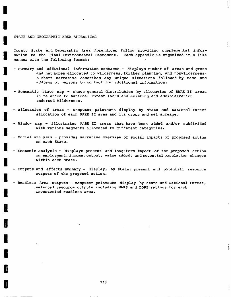
STATE AND GEOGRAPHIC AREA APPENDICES
Twenty State and Geographic Area Appendices follow providing supplemental infor- mation to the Final Environmental Statement. Each appendix is organized in a like manner with the following format:
- Summary and additional information contacts - displays number of areas and gross and netacres allocated to wilderness, further planning, and nonwilderness. A short narrative describes any unique situations followed by name and address of persons to contact for additional information.
- Schematic state map - shows general distribution by allocation of RARE II areas in relation to National Forest lands and existing and administration endorsed Wilderness.
- Allocation of areas - computer printouts display by state and National Forest allocation of each RARE II area and its gross and net acreage.
- Window map - illustrates RARE II areas that have been added and/or subdivided with various segments allocated to different categories.
- Social analysis - provides narrative overview of social impacts of proposed action on each State.
- Economic analysis - displays present and long-term impact of the proposed action on employment,income,output, value added, andpotentialpopulation changes within each State.
- Outputs and effects summary - display, by state, present and potential resource outputs of the proposed action.
- Roadless Area outputs - computer printouts display by state and National Forest, selected resource outputs including WARS and DORS ratings for each inventoried roadless area.
113

i --
i -
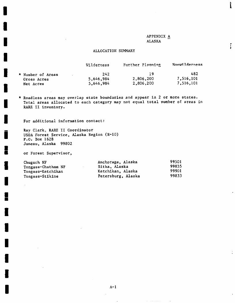
I APPENDIX A ALASKA -
ALLOCATION SUMMARY
I Wilderness Further Planning Nonwilderness
I * Number of Areas 242 19 482 Gross Acres 5,646,984 2,806,200 7,516,101
1
Net Acres 5,646,984 2,806,200 7,516,101
* Roadless areas may overlap state boundaries and appear in 2 or more states. Total areas allocated to each category may not equal total number of areas in RARE II inventory.
I For additional information contact:
I Ray Clark, RARE II Coordinator USDA Forest Service, Alaska Region (R-10) P.O. Rex 1628 Juneau. Alaska 99802
1 or Forest Supervisor,
1 Chugach NF Tongass-Chatham NF Tongass-Ketchikan
I Tongass-Stikine
Anchorage, Alaska 99501 Sitka, Alaska 99835 Ketchikan, Alaska 99901 Petersburg, Alaska 99833
A-l
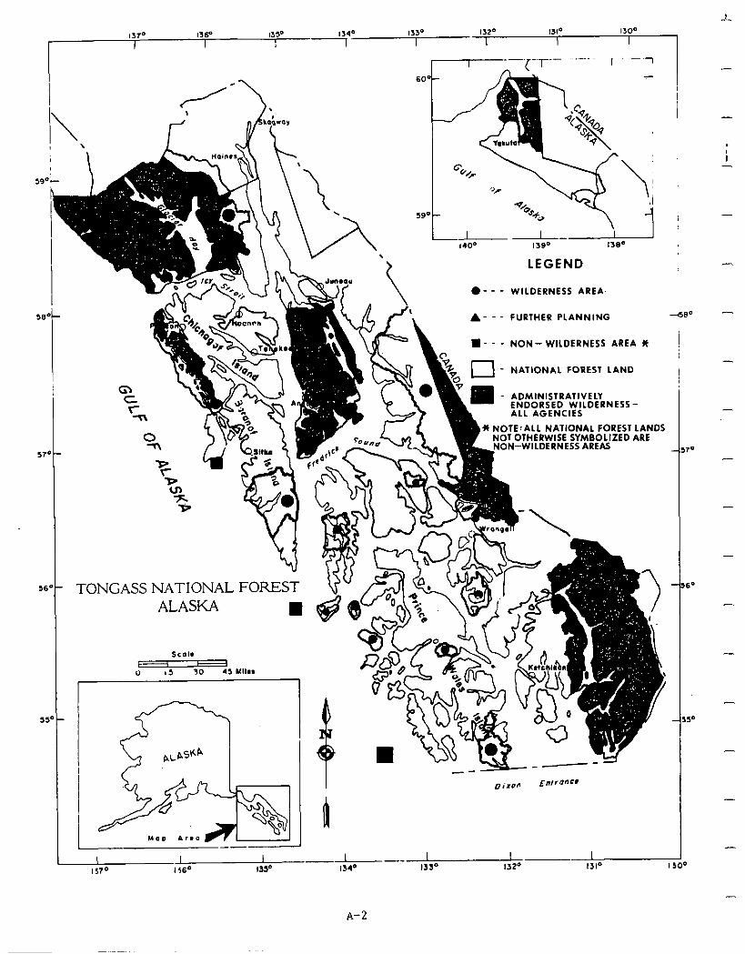
59
217
5f
5!
l3P 1300
I I
60’
- ADMINISTP~““C’” ENDORSED
.-,.....I
1 WILDERNESS- ALL AGENCIES
* NOTE:ALL NATIONAL FOREST LANDS NOT OTHERWISE SYMBOLIZED ARE
ON-WILDERNESS AREAS o-
i” .- TONGASS NATIONAL FOREST ALASKA
LEGEND .- - - WILDERNESS AREA
A- - - FURTHER PLANNING
l - - - NON- WILDERNESS AREA JI
f-l - NATIONAL FOREST LAND
I
4500
A-2
-
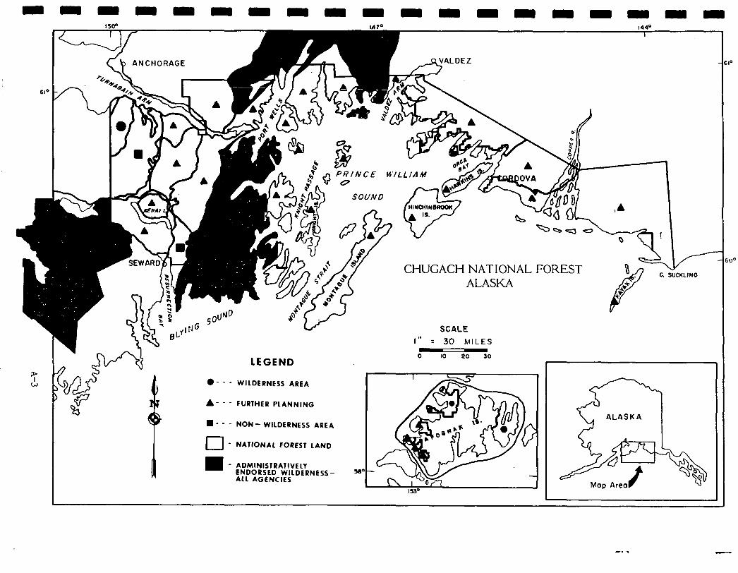
1; W
CHUGACH NATIONAL FOREST C. SUCKLII
ALASKA
SCALE
I II
= 30 MILES
Y&4!- - - LEGEND 0 IO 20 30
r) I
l -- -
i n
WILDERNESS AREA
A- - - FURTHER PLANNING
n - - - NON- WILDERNESS AREA
El - NATIONAL FOREST LAND
- ADMINISTRA7lVELY ENDORSED WILDERNESS- ALL AGENCIES
-* .
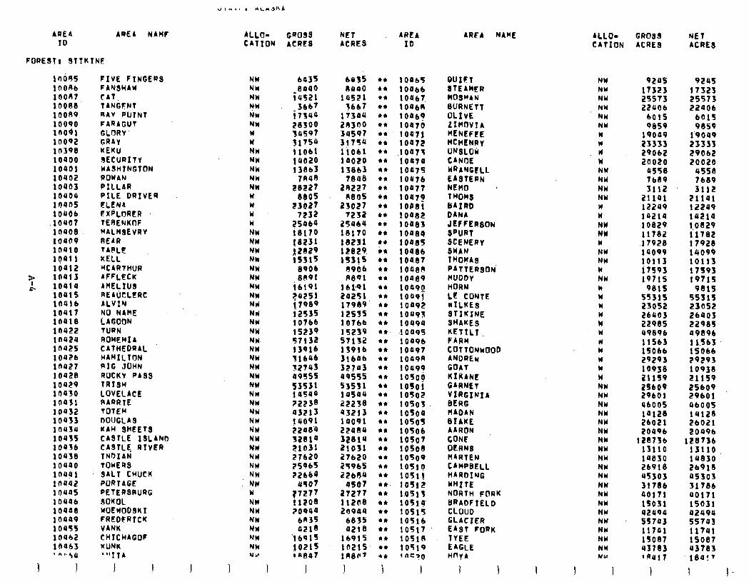
AREA AREI HAMF ALLO- GROSS NET AREA TD CATION ACRES ACRES ID
FOREST) STlK1NE
1OOSS 16086 lOOA 10088 10089 10090 inoai 10092 10390 1oaoo 10401 10402 10003 10Y04 10445 IOU06 lOUO7
‘moe toe09 10410 rga11 10012
> 10413 A loala
lOUl% 10416 lOUl7 lOUl8 10422 1nu24 1nu25 1 OUZb 1ou27 10428 10429 10430 1oa31 10432 1oa33 lflU34 1OUlS lOQ3b 10438 1oa40 1nag1 in442 louas lOU46 ioaa8 10449 10455 10462 10463 . “‘.$U
1 1
FIVE FINGERS FANSHAY CAT: TANGFNT RAV PUINT FARAGUT GLORY’ GRAY KEKU GECURITY WASHlNGfbN ROWAN PILLAR PILE DRIVER ELENA FXPLORER TERENKOF KALHSEVRY AEAR TARLF KELL PCARTHUR AFFLECK ARELIUS REAUtLtRC ALVIN NO NAME LAGOON TURN RUHEMI A CATHEDRAL HAMILTON RIG JOHN ROCKY PASQ TRISH LOVELACE RARRTE TOTEM DOUGLAS UAW SHEETS CASTLE 13LAhD CASTLE RIVER INDIAN TOWERS SALT CHUCK PORTAGE PETERSAURG SOKOL WOEWODSKI FREDFRTCK VANK CHICHAGOF KUNK “‘IfA
I I
NW NW NW '? W NW NW W w NH NW NW NW NW W W W W NW NW NW NW NW NW NW NW Nrl Nrl NW NW NW NW NW NW NW W NN NW YW NW NW NW NW NW NW NW NU W NW NW NW NI NW NW US
6a3S 8000
(US21 366’1
i7w
5:5:!: 31754 11061 14020 13863
7sae 28227
880s 23027
7232
::::i 18231
f:::: 8906 8891
ib191 ?a251 17989 i2s35 lolbb 15239 97132 t3916 flbQb 32743 09555 ‘53531 t asuu 22238 43213 jr091 22084 328ta ?1031
5:8Z 22664
US07
:::z ?OPO~
bn3s 0218
‘1691s
2;:;
I
6435 1)400
lU521 tbb7
17344 28304 30597 3175u liO61 1 a020 13863
7eoe 28227
A805 23027
7232 25960 18170 16231 12829 lSSj5
4906 8891
16 19 1 24251 17989 12535 10766 15259 STlS2 139lb 3lb4b 32743 a9555 53531 145QU 22238 43213 19091 22al3u 32814 21031 27620 25965 22684
d567 2T277 112D8 20944
6855 421e
16915 1n21r lLl8F’
1
10465 10464 10467 1 OabR 100b~ lOB70 loott 10472
,10473 10074 1047s 10476 10477 10479 lOPI i 04.82 1008s 1002.4 1046S
t x:x: i 0080 10489 toaog 10491 10092 10493 10494 t 0493 10496 I 0097 1049n loas? 1osop lOSO 10502 10503 lOSO 1050s 10506 1oyo7 1 OS08 lOSO lOS1~ 1051! lOS12 1.0513 10514 lOSl5 10516 10517 lOSl0 10519 t fiC30
I
AREA NAME
BUILT STEAMER MOWAN BURNETT OLIVE LlMfJVlA HENEFEE MCHENRy URQLOK CANOE WRANGELL EASTERN NEMO . THOH8 BAIRD DANb ~~~;~“80”
SCENERY SWAN TROpAs PATTERSON’ MUDDY HORN LE CONTE NTLKE3 STIKINE SHAKE9 KETTL7. FARM :~;;I;“000
GOAT KIliANC GARNET VIRGINIA BERG HADAN BIAKE AARON CONE OERNE HARTEN CAMPI~ELL HARDING WRITE NORTH FORK BRADFIELD CLOUD GLACIER EAST FORK TYEE EAGLE HnyA
I I
ALLO- GROSS NET CATION ACRES ACRES
NW NW NW NW NW NW N W u Id NW NW NW NW W n NW NY W NW NW W NW w n W W W w w W w W W NW NW NW NW NW NW NW NW NW NW NW NW NW NW NW hW NW NW NW NY
I I
92us 17323 2’3573 22406
6015 9859
19049 23333 29042 20020
0558 tb89 3112
21101 12249 la214 10829 11782 17928 14099 10113 17S9f 19715
9815 55315 23052 26uOJ 22985 99896 115bf 15066 29293 10938 21 IS9
:E; 06005 vu28 26021 20496
128736 13110 la830 26918 US303 317tlb 40171 lSO31 42994 s5703 ii741 1SO87 437.83 ‘Ill7
I
9245 17321 25573 22406
601s 9059
1’9049 23333 29062 20020
4558 7689 3112
21141 12249 14214 1.0829 11782 17926 14099 10113 t 7s93 19715
9819 55515 23052 26403 22985 49896 t lSb3 15066 29293 t 0938 21159 25609 29bOl 4600s 14120 26021 2049b
128736 13110 14830 .. 26910 45303 31786 UOl71 15031 4249U 55743 11741 15087 43783 ieo:'
I I-
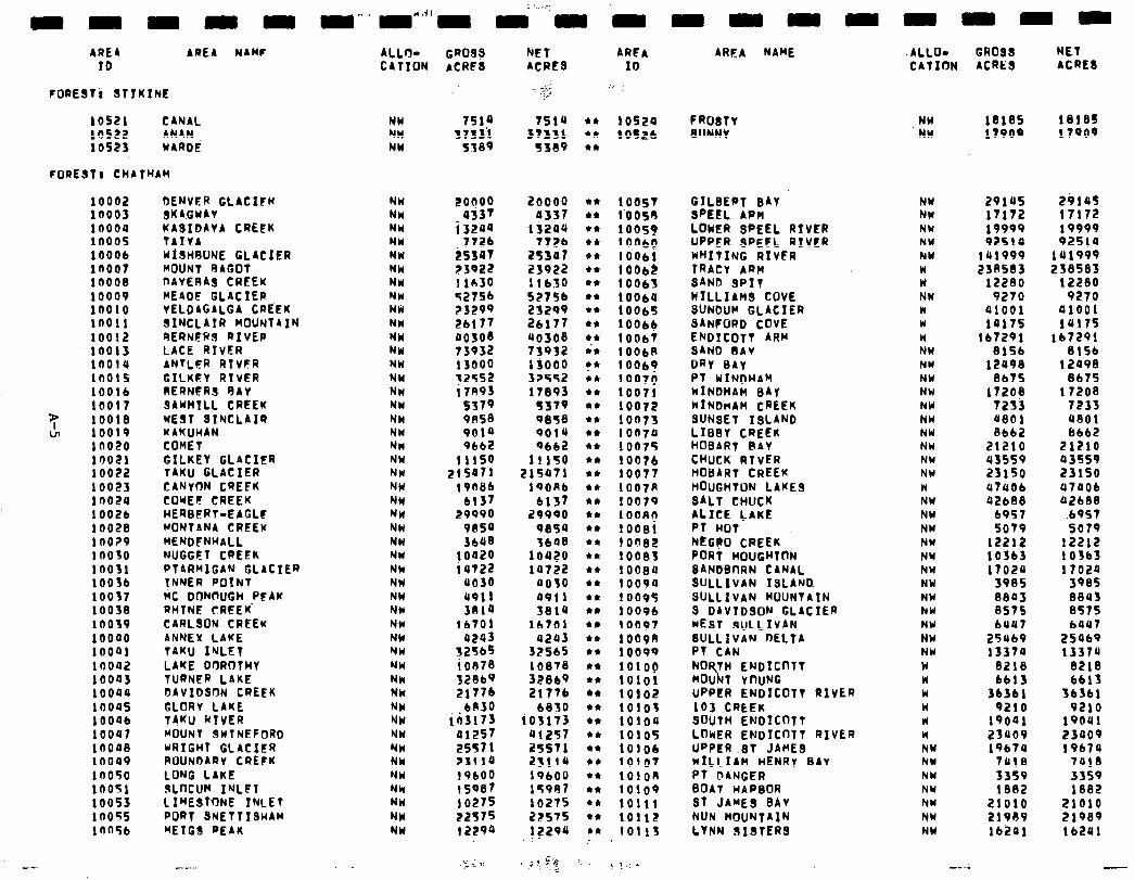
AREA AREA NAHF ALLO- GROS? NET AREA ID CATION ACRE8 ACRES ID
FORESTi STIKINE
10521 CANAL 10522 ANAN 10523 WARDi
FOREST, CHATHAH
NW 7514 7514 l * t 0524 NW 3733’1 31331 l * 10SLb NW 5389 3309 4.
10002 1’0003 10000 1000s 10006 la007 10008 10009 1no10 10011 10012 10013 16014 10015 10016 10017
3; 10018 VI 10019
la020 10021 10022 10023 in024 1002b 10028 140?9 10030 10031 1OOJb 10037 10038 10039 10040 iooai 10002 iooa3 10044 looas IO046 10047 1no4s la049 1n050 10051 10053 in055 ln45b
DENVER GLACIfR SKAGWAY KASIDAYA CREEK TAIVA WtSHRUNE GLACIER MOUNT RAGOT DAYESAS CREEK MEADE GL‘ACTER YELDAGALGA CREEK SINCLAIR MOUNTAIN AERNERS RIVEP LACE RIVER ANTLER RTVFR GILKEY RIVER RERNFRS GAY SAWHTLL CREEK WEST SINCLAIR KAKUHAN COHET GILKEY GLACIER TAKU GLACIER CANWN CREFK COWEt CREEK HERBERT-EAGLF MONTANA CREEK MENDCNHALL NUGGCT CREEK PiARMIGiN-GLACIER INNER POINT MC DON@UGH PFAW RHTNE CREEK’ CARLSON CREEK ANNEX LAKE TAKU INLET LAKE DrJROTHY TURNFR LAKE S)AVIDSON CREEK GLORY LAKE TAKU NIVER MOUNT SWINEFORD NRIGHT GLACIER ROUNDARY CREfK LONG LAKE SLoCUM INLFT LfMEsl’0NE INLET PORT SNETTISHAM METGS PEAK
NW NW NW NW NW NW NW NW NW NW NW NW NW NW NU NW NW NW MN NW NW NW NU NW NW NW NW NW NW NW NY NW NW NW NW
l ; NH NW NW NW NW NW NW NW NW NW
2:;;;
i 3244 772)
is347 23922 11~30 T27Sb
:::;; 00308 73932 13000 w;:
:::x 9014 9bb2
11150 z!SQtl
19OLib 6137
29990 9054 3bU8
10420 i 4722
0030 4911 3810
16701 4243
325t45 ioe70 32869 2177b
bA30 ii3173
41257 25S7 1 23110 19600 is987 10275 22575 t 2294
20000 4337
13244 7726
25347 23922 11630 5275) 25299 2b177 40308 73932 13000 32552 17893
5579 0848 9014 9662
11190 215471
19ORb 6137
29990 9054 3b48
lOQ?O 14722
4030 4911 3814
16701 4243
32565 10878 32869 2177b
b8tO io3173
41257 25571 23114 19bO0 lT9A7 10275 22575 12294
l * 10051 l * !‘OOSO
l * 10059 en 1 ootla en 10061 l * lObb$ l * t 0063 en t Oob4 l * 10065 en 10066 cc 1006J in 100611 en in 10069
1007D l * 10071 en 10072 l * 10073 l * 10074 en 10075 l * 10076 en 10077 l * 10074 l * 10079 44 100.9() 44 10081 en i on82 en t 0083 l * 10084 44 10094 en 10095 en 10096 en 10097 l * 10090 ** 10099 l * 101op en 101ot l * 10102 en 10101 l * ioioa l * 10105 l * 10106 en 10107 en 1OlOS en 10109 en 10111 44 10112 be 10113
AREA NAME
FROSTY BUNNY
GILBERT BAY SPEEL ARM LOWER SPEEL RIVER UPPER SPELL RIVER WHITING RIVER TRACY ARM SAND SPIT NTLLIAHS COVE SUNDUH GLACIER SANCORD COVE ENDltb~t ARM SAND SAY DRY BAY PI WINDHAM WINDHAM SAy HINDHAM CREEK SUNSET ISLAND LIBBY CREEK HOBART RAY CHUCK RTVER MODARt CREEK HOUGHTON LAMES SALT CHUCK ALICE LAKE PT HOT Ntt;R0 CREEK PORT HOUGHTnN SANDSflRN CANAL SULLIVAN ISLAND SULLIVAN MOUNTAIN 9 DAVTDSON GLACIER hW wEfiT SULLIVAN NW SULLIVAN DELTA NW PT CAN NW NORTH ENDTtf?TT w MOUNT vnuNG w UPPER i~iiIc0~t RIVER W 103 .CREEK W SOUTH ENDICDTT rl LOWER ENDTC0TT RIVER W UPPER .ST JAME9 NW WILLIAM HENRY BAY NW Pf DANGER NW BOAT HAPSOR NW ST JAMES BAY NW NUN MOUNTAIN NW LYNN SIBTERS NW
ALLO- GROSS NtT CATION ACRES ACRES
. NW 18185 18185 NW 17909 17909
NW NW NW NW NW W II NW w W W NW NW NW NW NW NW NW NW NW NW w NW NW NW NW NW NW NW NW
29ta5 2914s 17172 17172 19999 19999 92510 92514
141999 101999 230503 238583
12280 t 2280 9270 9270
01001 41001 tot75 tu17s
167291 167291 8156 8156
12498 12498 8b75 8675
17208 t 7208 7233 7233 UtlOl 4801 8662 6b62
21210 21210 43559 43559 23150 23150 U7UOb 47QOb 42688 42688
b9St .69S7 sot9 5079
12212 1221.2 103b3 10363 17020 17024
3985 3985 8843 8843 8575 8575 6UU7 6447
25969 25069 13374 13374
8218 S2lS 6613 6613
36361 36361 9210 9210
19001 19001 23409 23409 19674 19674
7418 7010 3359 3359 lee2 iS82
21010 21010 21989 21989 lb241 16241
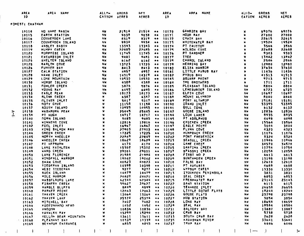
AREA AREA NAME I ID
FORESTI CHATHAW
10114 10115 10116 10117 10118 10119 10120 10121 10124 10125 1012b 101-27 10128 in129 10130 10131 la132 10133 10134 10135 10136 la137
P CL
16138 10139 lOlQ0 lOlQ1 in142 iota3 lolau 10145 iala in107 10108 lnl49 10150 10151 in152 10153 10154 14155 10156 lnt57 10158 10159 10160 10161 10162 10163 lnlbu 10165 lfilb6 inih7
-. 10168 10149
I I
NO NAME RAS!N EARTH STATTON COUVERDEN LAKE COUVERDEN ISLAND ANSLEY 0ASlN HUMPY CREEK PORPOISE ISLAND FXCURSION INLET SHELTER IBLAND RARLtW COVE FUNTER BAY CALM STATION HAWK INLET LONE MOUNTAIN HORSE ISLAND FOWLER CREEK YOUNG 0AY EAGLE PEAK SLINK CREEK nirvER INLET DOTY CflVE SOUTH ISLAND WASHRURN PEAK PT HUGH DORM ISLAND WINNING COVE FOOL INLET KING Sb~t40N RAY GREEN CREEK NORTH WHEELER WHEELER CRCEK PT HFPSURN LAKE KATHLEEN WARD CREEK LAKE FLORENCE WINDFALL HARPOR SWAN COVE. TIEDEMAN ISLAND WEST TIEDEwAW RUCk ISLANn MOLE HARROQ HASSELRORG LAKE FISHFRY CREEK MARBLE BLUFFS PARKER POINT THAYER CREEK THAYFR LAKF MITCHELL .8AY KUClTZNAHflO HFAO A NGOtTN KANALKII RAY YELLtl* BEAR wOUNTA1N PLFAqANT BAY SEVnnUR ENTRANCE
1 I I
ALL- GROSS NET AREA CATION ACRES ACRES ID
NW NW NW NW NW NW NW NW NW NW NW MN NN NW NW NW Nk NW w W W Y W W W W W w W w W W W W W W W W W W W W W W W W W W W W W W W W
‘$i 8319 9934
13393 22405 117u5
9481 61.62
13723 0413 a9S7
lU319 10530
4380 5876 boos
18173 b387 5017
11150 10955 254us 14117
9405
;r::‘; 27903 17225 22849 10629
4179 15302 29001 zioeu i9na2 aon 10390
9277 14479 zu020 62344 39627
en99 i2Ob3 130611 25374
7402 lU52
t 0036 15290 13bll 10139
6055
2lSlL 9030 8319 9934
13393 22085 11745
94Rl bl62
13723 0413 4957
10319 10530
4380 5876 6495
10173 6307 sot7
11158 in955 25405 14717
9U85 128lb l’b967 27903 1722s
.2Z~S9 10629
at74 15302 29001 21904 19042 an023
44 en en en en 44 l *
44
44
44
en
44
en
en
en
en
l *
en
l *
en
en
44
en
en
44
en
en
l *
44
en
en
44
en
en
en
en
en
en
en
44
en
+*
44
+*
et
+t
l *
44
l *
44
44
44
en
l *
10390 9277
10176 10171 10172 10173 10174 10175 ‘10176 10177 10170 loll? 10189 10101 10182 told3 10104 10105 10106 10107 10188 10109 10190 10191 10192 10194 10195 10196 10197 10190 10200 10202 10203 10204 10205 10201 1 ozorl 10209 lO?lO 1021!
1aE79 2442U b23UU 39627
R099 l?ObJ 1SObU 25379
7402 1052
10836 1529U 13611 in339
h055
10212 10213
I I I I I
102;4 10215 10222 10224
‘10225 10220 10227 10220 10229 10231 10232 10233 10235 10237
AREA NAME
GAMBIFR WY HOOD RAY CHbtK BAY WHITEWATER BAY PT CAUTION WILSON COVE PT GARDNER TYEE CARROL IgLAND HERRING 0AY LLIZA HARBOR LITTLE Py0Ug RAY PYBUS 0Ay SGUARE POINT THE BROTHERS PLEASANT ISLAND LEMESURIER ISLAND ELFIN COVE MOUN! ALTHROP PORT ALTHRUP IDAHO INLET GULL COVE GOOSE I SjAhD LOON LAKES PT. ADOLPHUS CHICKEN CREEK EAGLE .POtNT FLYNN COVE HUi!PBAik-CREEK PORT FREDERICK SEAGULL CREEK GbME CREEK GARTINA CREEK SFiSSKI CREEK FIRST NO 2 SUNTAHEEN CREEK FALSE BAY Pl AUGUSTA r;YPgUM CREEK IYOUKFEN PENINSULA SEAL CREEK FRESHWATER RAY SAND STATION TENAKEE INLET LITTLE GOOSE FLATS GQOSE FLATS HUB STATION LONG RAY SEAL RAV SALTERy BAY CRAB BAY SOuTti CRAB RAY UADbWAN RIVER TRAP RAV
ALLO- GROSS NET CATION ACRES ACRES
W b907b b9076 W 27000 27000 w 22615 22615 n 19524 t 9524 W 35bb 3Sb4 W 22608 22180 W 9303 oso3 w 13942 13942 w 2546 2506 W 12980 12980 W ST634 37b3Q W 11936 11436 W QlSll a1513 W 971s 9713 w 1711 1711 NW etiou 8800 NW 6723 6723 NW 10697 10697 NW eoao 0040 NW 15101 15101 NW 53395 5339s RW 6132 6132 NW 12836 t 2036 NW 0935 8935 NW au90 4490 NW 15560 15564 NW 3004 3oou NW 4323 4323 NW 11076 1107b NW 032U 8324 NW 109ob 109Ub NW 34570 34570 NW 1075u i 0759 NW 12050 12050 NW bLl3 6613 NW 13198 13198 NW 12blO 12610 NW 4608 4680 hw 13330 13330 hW 3031 3831 NW 6853 6853 hW 23la3 231U3 hW 6115 6115 NW 26650 2bbS8 NW 1024a 18244 NW 23790 23790 NW 5059 3854 NW 10bS9 10659 NW 1030u 1050a NW 13007 13887 NW sts0 5730 NW 2628 2628 NW 33641 33641 NW b44b 6996
I I- .I I 1 7
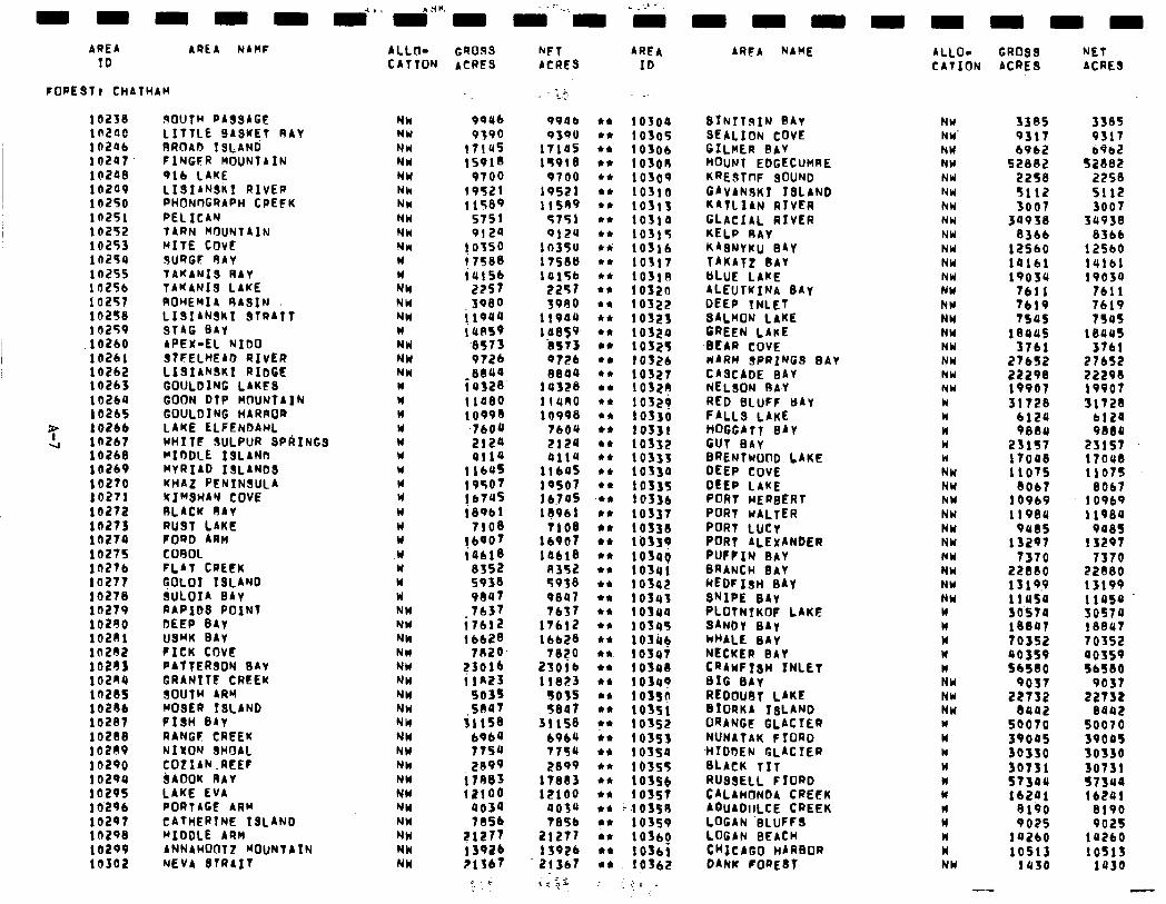
AREA AREA NAHF ID
FORESTI CHATHAM
10238 ROUTM RA39AGE Nk ia2ao LITTLE BASMET RAY NY 10246 RROAD ISLAND; NW I a247 FINGFR MOUNTAIN NW i 0249 916 LAKE NW i 4209 LI9IAN9KI RIVER Nh 10250 PHONOGRAPH CPEFK NW In251 PELICAN NW 10292 TARN HIXJNTAIN NW 10253 MITE COVE Nw 10254 9URGF 9AY W 10255 TAKANl9 RAY W 10256 TAKANIS LAKE NW 10257 ROHEwfA RA9IN NW 102%8 LISIANSKI alRAT NW 102S9 9TAG BAY W 10260 APEX-EL NIDO NW 10261 STFELHEAD RIVER NW 10262 LISIANSKI RIDGE NW 10263 GOULDING LAKE9 w 10264 GOON DTP MWJNTAIN W 10265 GOULDING HARROR W 10266 LAKE ELFENDAHL W la267 WHITE SULPUR SPkINGS W 10268 MIDDLE ISLAND W lO269 MYRIAD 13LANDS W 10270 KHAZ PENINSULA W 10271 KI”WAN COVE W 10272 RLACK RAY W 10273 RU9T LAKE W 10274 FORD ARM W 10275 CO9OL .W IO276 FLAT CREEK W lo277 GOLOI ISLAND W 10278 SULOIA BAY W 10279 RAPIDS POINT NW 10290 DEEP BAY NW 10211 U9WK BAY NW 10202 FICK COVE NW 102fl3 PAtTER90N BAY NW 10284 GRANITE CREEK NW lO28S SOUTw ARw NW 10286 MO9ER ISLAND NW lo287 FISH BAY NW 10288 RANGF CREEK NW 10209 NIXON SHOAL NW 10290 COZIAN .REEF Nh 1029s SAOOK RAY NH 10295 LAKE EVA NW 10’296 PORTAGE ARw NW 10297 CATHERTNE ISLAND NW la298 wIDDLE ARM NW lb299 ANNAHOOTZ WOUNTAIN NW 10302 NEVA STRAIT NW
ALLO- Gr)OSs hFT AREA CATTOw ACRES ACRES ID
9QU6 9390
t714S IS918
9700 19521 11589
5751 9124
10350 i 7588 iu156
2257 3080
; lQUU i UPS9 ‘8573 9726 8840
ias2e 11480 10998
7600
:;:2 1164% 19507 16745 i8961
7108 lbQO7 iosre
8552 S938 99u7 7637
i7612 16628
7820 23016 i/R23
5% illSS
6964 7754 2099
i 7883 12100
9034 71456
PI277 1392b i?lfb7
c-; .,.
; .i., -_
99ab Q3QO
itias 1%918
9700 19521 llSA9
5751 9124
lO35U itseu lul%b
2257 3980
lloau 10659
‘es73 Q726 SSau
la328 IlURO 10998
7604 ZIEQ 0114
llbo5 lOSO 16.705 10961
7108 16907 la618
A352 5938 9047 7657
17612 16628
78?0 23016 11823
27 31158
6964 7794 2099
17883 12100
aof@ 7BSb
21277 15926 21367 1: $f
l * 10300 l * 1030% l * 10306 l * 103ou c* 1oso9 l * Ioslo ** 10311 l * 10314 l * 1031% si 10516 l * 10317 t* 103lR l * 10520 l * 10322 l * 1os2s l * 10324 l * 1032% l e 10326 l * 10327 4* 1032? l * 10529 l * 10330 +* 1os31 l * 10332 l * 10333 l * I0330 l * 1033% c* 10336 l * 10337 +* 10338 l 4 1’0339
l * ;;;:y l *
l * 10s42 l * 10343 l I 10340 a* 1034% l * 10346 l *. 1os47 I* 10348 l * 1034T, l * 103sg l * 1035( IL* 10352 r* 10353 l * iofsa l * 1632%
l * ** t :::: ** “,103SA l * 10359 l ,* 10366 l * 10361 l * 10362
:cr .
AREA NAME
SfNfTRIw BAY NW SEALION COVE NW’ GILHER BAY NW MOUNT EDGECUHRE NW KRESTnF 9OUND NW GAVANSKI ISLAND NW KATLIAN RIVER hw GLACIAL RIVER NW KELP RAY NW KASNYKU BAY NW TAKATZ bAY NW BLUE LAKE NW ALEUTKINA DAY NW DEEP INLET NW SALMON LAKE NW GREEN LAKE NW
-BEAR COVE NW wARn SPRING9 BAY NW CASCADE BAY NW NEl.90N BA-Y NW RED BLUFF wAY W FALLS LAKE CI HOGGIlT WY W GUT BAY W BRENTWOOD LAKE W DEEP COVE NW DEER LAKE NW PORT HERBERT NW PORT WALTER NW PORT LUCY NW PORT ALEXANDER NW PUFFIN BAY NW BRANCH BAY NW HEDFIsH BAY NW SNIPE BAY NW PLOTNIKOF LAKE W 9ANDY 0Ay W WHALE BAY W NtCKER BAY W CRAWFISH INLET w BIG BAY NW REDOUBT LAKE NW BIORKA ISLAND NW ORANGE GLACIER W NUNATAK FIORD W ,HIDDEN GLACIER k BLACK TIT W RUS9ELL FIORD w CALAH~~NDA CREEK W AGuADIILCE CREEK u LOGAN ‘BLUFFS W LOGAN BEACH n CHICAGO HARBOR W DANK FOREdt NW
ALLO- CR099 NET CATION ACRE9 ACRE9
3385 9317 6962
52882 2258 5112 3007
30930 8366
12560 14161 19osu
7611 7619 7595
18405 3761
27652 22290 19907 31728
6120 9884
23157 17008 1107s
8067 10069 11989
9ecls 13297
7370 22880 13 19.9 11454 30570 lee07 70352 90359 SbS80
9037
2sx:x SO070 39005 30330 30731 573ao lbtQ1
9190 907s
I@260 10513
1830
3385 9317 6962
52882 2258 5112 3007
34938 8166
12560 14161 19034
7611 7619 7545
leaus 3761
27652 22298 19907 31728
6124 9889
23157 17oue 11075
8067 10969 11980
900s 13297
7370 22880 13199 1105u
%I: 70352 oos59 56S80
9037 22T32
8842 so070 39045 so330 3073! 57340 f62Ul
8190 9025
10260 1051s
1030
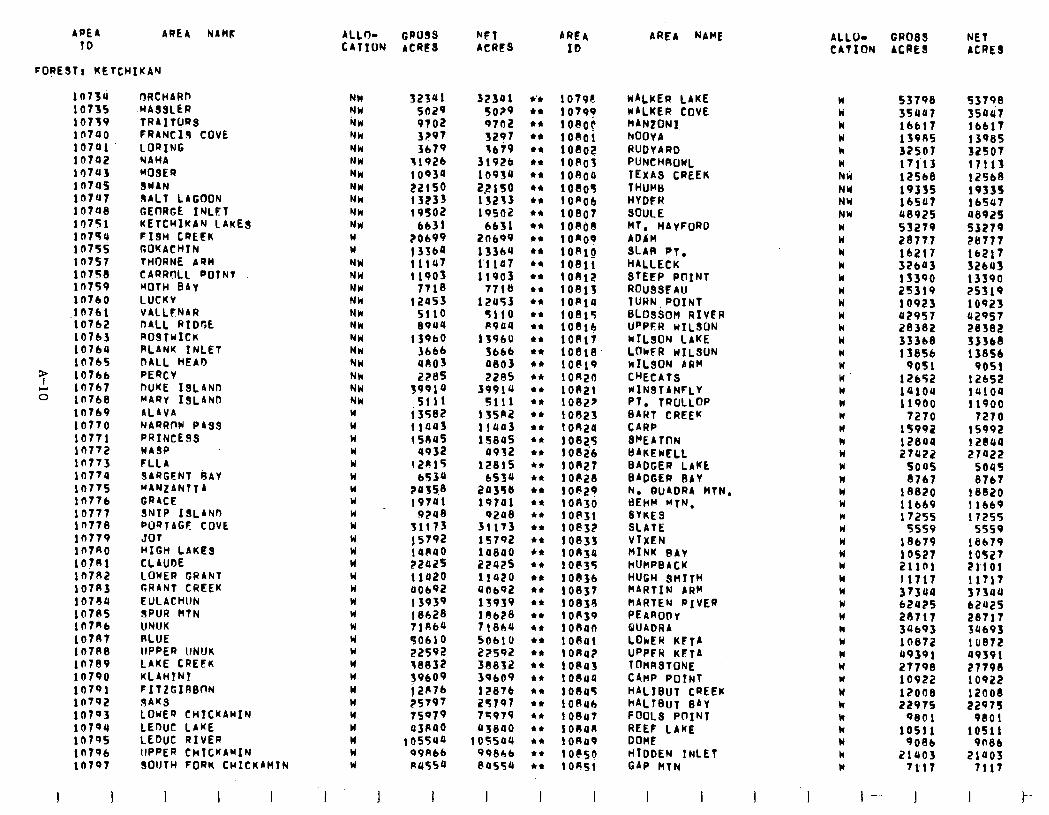
APEA AREA NAMF ALLno GRU99 NET AREA 10 CATION ACRES ACRES ID
FOREST! KETCHIKAN
10734 1073s 10739 in740 10741 10702 10743 10745 In797 lOTU0 lO7Sl 107SU 1 at%5 10757 10758 10759 10760
.I0761 10762 10763 10764 10765
3; 10766
z 10767 10768 10769 10770 10771 10772 10713 in774 16775 In776 10777 in778 16779 ln7Ro lO?Rl 10782 10783 107eu 10705 107R6 10787 1 O7R8 10709 10790 10791 i n792 10793 10794 10795 10796 10797
I I
ORCHARD -HA99LER TRAITQRS FRANC19 COVE LORING NAHA M09ER SWAN SALT LAGOON GEtlRGE INLET KETCHIKAN LAKES FI9H CREEK GOKACHIN THORNE AQH CARROLL POTNT MOTH BAY LUCKV VALLFNAR DALL RIDGE ROSTWICK PLANK INLET DALL HEAD RERCV DUKE 19LAND MARY 19LAND ALAVA NARRflW PAa9 PRINCESS WA3P FLLA SARGENT 9AY ~AN~ANTTA GRACE SNIP ISLANo WQTAGF COVE JO7 HIGH LAKES CLAUDE LOWER GRANT GRANT CREEK EULACHUN 9PUR HTN UNUK RLUE lIPPER UNUK LAKE CREEK KLAHINI FITZGIRBnN 3AKS LOWEQ CHICKAMIN LEDUC LAKE LEDUC RIVER lIPPER CHICKAMIN SOUTH FORM CWICKAHTN
I I I
NW NW tiw NW Nk NW NW NW NW Nk W W w NW NW NW NW NW NW NW NW NW NW NW Nk W W W W W W Y W w W W W W W W W W W W W W W W W W W W W W
I
32341 5029 9702 3?97 3679
31926 10934
::::i 19502
6631 ?0699 I3364 !1147 11903
7718 12053
5110 El944
13960 3666 UAOS 2285
39914 5111
i 3582 11043 15045
4932 c201%
6530 2OSS8 19741
9248 31173 j $792 14~40 2242s I la20 a0692 13939 18628 71R6a JO610 22592 ~8832 39609 ; 2R76 25797 75979 43nQO
105540 99A66 c14554
I I
32301 l ‘* 1079c WALKER LAKE W 53798 5029 l * 10795) WALKER COVE k 3907 9702 l * 108OC HANZONI I lb617 3207 44 IOFJOI hOOY A W 139115 3679 l * loco? RUDYARD k 32507
31926 l * Ion03 PUNCHROWL W 17113 i 0934 a* 1 OR04 TEXAS CREEK Nti 12568 2.2lSO *I: 1080% THUHB NW 19335 13233 44 1 On06 HyDER NY lb507 19502 +* 10807 SOULE NW 48925
6631 44 108i)fi MT, HAyFoRD w 53279 2n699 l * 10~00 ADAM W 28777 13369 l * loRIg St-AR PT. W 16211 1’1107 l * lOBI HALLECK W 32603 11903 l * lOAl STEEP POINT w 13390
7711) l a lob13 ROUSSFAU w 25319 12453 l I loAla TURN, POINT W 10923
%I10 +* 1001% 6LOSSOH RIVER W 42957 A904 a* 10814 UPPER nILSON W 28382
139bU l * lOAl WILSON LAKE W 33368 3666 +* 10818 LOkFR nILSUN W 13856 4803 c* IO@19 KILSON 4RR W 9051 22RS l * lOA CHECATS W 12652
39914 l * 10821 HINSTANFLY n 14104 5111 l * 10822 PT. TROLLOP W 11900
13sn2 l b 10023 SART CREEK N 7270 llUA3 l * 1 OA24 CARP W 15992 lT84S a* 1002% SHEA TON k
0932 l * 108ib 12804
BAKEwELl. n 27422 12815 l * 10827 BADGER LAKE W 500s
6534 *I 1 OP28 BADGER BAY n 8767 203%s l * IO@29 N. DUADRA HTN. W 18820 197al t* lOR30 BEHM MTN. W 11669
9208 l t 1ofi31 SYKES n 17255 31173 l * IO@32 SLATE W 5559 15792 l z 10833 VIXEN W 18679 10800 l * I OR30 IdINK BAY W 2242s
1 OS27 l * 10835 huMPBACK W 2llFl
11920 l * 10836 HUGH 9HITH W 11717 uDb92 l * 10837 MARTIM ARM W 37340 13939 +* 10030 MARTEN RIVER W 62425 10628 l * I on39 PEARODy W 28717 71864 ** 1 own QUADRA n 34693 506lU 44 108u1 LOI*ER KFTA W 10872 22592 l * i on02 UPPFR KETA W 49391 38832 44 IOPQS TOMSTONE W 39669
21798 l * IoSua CAMP POINT Y 10922
12876 l * lono% HALIBUT CREEK W 12008 2%797 44 10846 hALlBuT BAY k 22975 75979 l * 10847 FOOLS PnINT w 9801 oswo l 4 1084R REEF LAKE k 10511
i ossau l t loRa9 DOME W 9086 998bL l c lO@S~ HIDDEN INLET k 21403 Pas54 l * lORSl GAP MTN W 7l’ll
AREA NAME
I I I 1
ALLO- GROSS NET CATION ACRES ACRES
53798 35447 16617 13985 32507 17113 12568 lV335 16547 48925 53279 EB777 16217 32643 13390 25319 10923 42957 28382 33368 13856
9051 12652 14104 11900
7270 15992 12844 27422
5045 6767
18820 11669 17255
5559 18679 1 OS27 Bl’lOl 11717 37344 62425 28717 34693 10872 49391 27790 10922 12009 22975
9601 10511
9086 21003
7117
I- I I
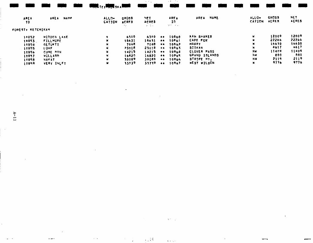
APEA AR’E A NAMF TO
FOREST) KETCHIKAN
i n852 10853, I n854 10855 10856 io857 la858 10859
HXDDEF: LAKE FILLWRE GETWTI 1 OAF CONE HTN wlLLiRlr NAKAT VERY INLFT
ALLO- CATION
GROSS ACRES
._
6300 63(10 18631 lR6S1
7n48 7008 23018 23018 14215 la2lS lbO2o 16820 30089 3OOO9 13739 33739
NET ACRES
; ';
AREA 10
‘:.. ._
10860 l0R61 iOu62 lOP6% 1 OB60 lop65 10866 l0Rb7
AREA NAME
KAH SHAKES CAPE FOX HARRY SITKAN CLOVER PA99 GRAND ISLAND9 STRIPE MT. WEST WILSON
ALLO- GROSS CATION ACRES
W 12009 12009 w 22266 22266 W 16630 16630 W a6l7 4617 NW llUO9 llUO9 hw 800 800 NW 2119 2119 w 9776 9776
NET ACRES
_ 3 ,‘; ! - ._.
L
-
Social. RARE II allocation of Chugach National Forest roadless areas was not a controversial issue for Alaskans or for citizens residing outside Alaska. Only 236 responses representing 250 signatures were received from Alaska residents. The at- traction of other major issues such as D-2 captured the attention of the general public, local communities, and special interest groups whohavetraditionally expressed interestinForest Servicelandusedesignations. The majority of the input responding to RAPE II was in support of the Chugach Forest Study Group's Alternative W. This support was represented by 95 responses with 101 signatures from within Alaska and 113responses with 131 signatures from outsidethe state. Alternative W was discussed in the body of the RARE II FES under the social analysis of alternatives. With the small amount and narrow spectrum of public input, only tentative conclusions can be drawn about public perceptions of social effects.
Generally, significant social effects are not estimated to occur from the proposed action since the majority of the roadless areas are allocated to further planning. The symbolic meaning of wilderness and wilderness associated wildlife which surfaced as an important social concerns will be protected by wildernessdesignations of Tonki Cape, Red Peak, and portions of Resurrection. In addition, splitting an area (Resur- rection) in close proximity to Anchorage into two portions maintains and enhances existing recreation use patternsby providinghiking, cross-country skiing, and snow- shoeingopportunitiesinthewildernessportion, while ensuring continuedopportunities for snow machine use in the nonwilderness portion.
The remaining 20 areas are allocated to further planning. Due to the vastness and undevelopednature of these areas,there is inadequate resource, economic, and social data on which to make conclusive wilderness and nonwilderness decisions. Currently, the Chugach National Forest is the Lead Forest in Region 10 which will be undergoing comprehensive land management planning as required by the National Forest Management Act. Through this planning effort, additional data will be collected and analyzed on which to base future land management decisions.
Economic. A summary of economic impacts for the proposed action is presented in the following table. These impacts are on the nation as a whole and may or may not occur in Alaska. All state impacts are allocated from the national totals and arebased upon state resource changes. They should onlybe considered as Alaska's contribution to the national impact. For a detailed explanation of how the impacts were calculated see Appendix W.
All sectorsexcept loggingand sawmills showemployment losses as a potential immediate impact. Loggingand sawmills increase becauseof deferred timber additions. In the potential long-term all sectors increase as a result of multiple use management.
I -
-
-
-
-
-
-
A-12
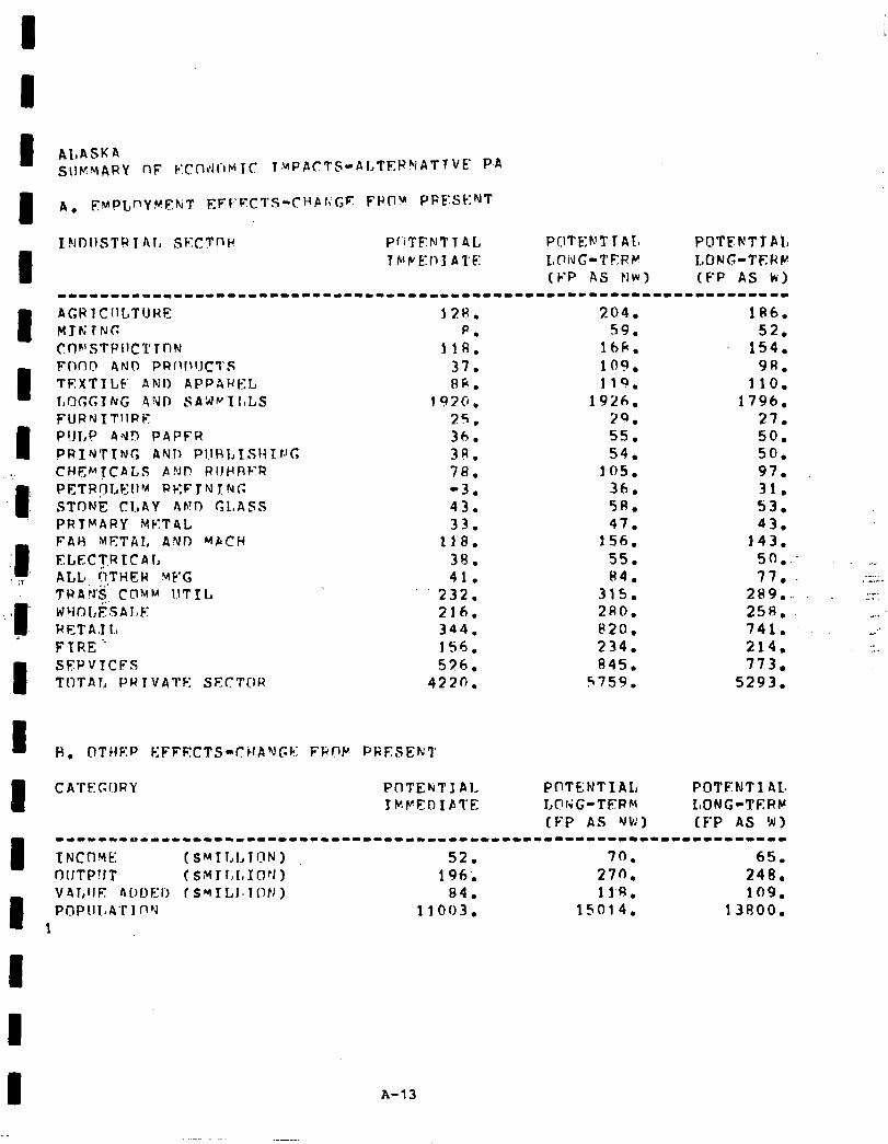
I YDIISTR t Al, SF:CTfJi’ P~‘ITFNTT AL POTE:h’T T At, POTEKTTPL
I 7 En f’ E: 11 J A 1’ E: LOiJG-TERFr’ LONG-TEPW
(VP AS NW) IF’P AS k) 1------1~----1--11---------------------------------------------------
I I I
AGP 1 CIILTUHE 12H. 204. MYtiTN(: p. 59. Cnh’STPl1C’C TnN 118. 16fi. FtlOD AND PR~lf~~JCl’S 37. 109. TEXTILF ANI) APPAWEL RF. 110. l,OGGTNG 4VD SAWpII,LS 1970. 1926. FURh)TTllRE 25. 29. P!JI,P Ad!7 PAPFR 36. 55. PRINTTNC AND PIJHLTSHIt~C, 39. 54. CHEMTCALS APJP RIJHRFR 78. 105. PETR?LEllb~ R,EFTNXNC. -3. 36. STDNE CLAY r\F!D CLASS 43. 5R. PRTMARY METAL 33. 47. FAH METAL ANI) MbCH 118. 156. l7LECT.R LCAL 38. 55. ALL* !‘),THER MF’C 41. 84. TRAiJ$ Cl?MM UTIL 232. 315. WYOLFSAlrF 216. 2RO. PETA. L, 344. 820. FIRE’ 156. 234. SFPVTCFS 576. 845. TIlTAT., PW TVATF: SFCTOR 4220. 5759.
H. OTHEP EFFECTS-CHANGE FRf-‘M PFESEK’l
CATEGCIRY PCITGNTIAI, POTENT1 AL, LOriG-TERM LONG-TERM (FP AS VW) (FP AS W)
18h. 52.
154. 98.
110. 1796.
27. 50. 50. 97. 31. 53. 43.
143. 5 0 . .._ 7 7 l :.z::,:.
2 8 9 . :::: 25R. 741. :: 214. 773.
5293.
I -------~-----~-----I------------------------------------------------- XNCflVfC (SMTT,I,Tc?N) 52. 70. 65. tJUTP!JT (SMJl,t,Inv) 196; 270. 248.
I
V41,IJE AOl>El, I S~ILJ~ION) 84. ll’f3. 109. POPIIlaAT1 O’J 11003. 15014. 13800.
1
A-13
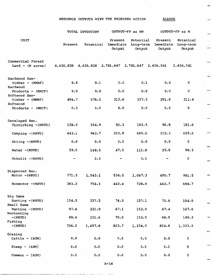
RESOURCE OUTPUTS WITH THE PROPOSED ACTION ALASKA -
UNIT
Commercial Forest Land - (M acres) 4,436,838 4,436,838 2,781,647 2,781,647 2,456,041 2,456,041
Hardwood Saw- timber - (MMBF)
Hardwood Products - (MMCF)
Softwood Saw- timber - (MMBF)
Softwood Products - (MMCF)
0.0 0.1 0.0 0.1 0.0
0.0 0.0
576.5
0.0 0.0 0.0
494.7 312.6 357.5 291.6
0.0 0.0 0.0 0.0 0.0
0
0
311.4
0
Developed Rec. Picnicking -(MRVD) 128.0 254.9 92.3 183.5 90.8 181.6
Camping -(MRVD) 443.1 942.7 323.9 680.6 312.3 655.6
Skiing -(MRVD) 0.0 0.0 0.0 0.0 0.0 0
Water -(MRVD) 59.0 148.5 47.5 111.8 35.0 98.3
Unbuilt -(MRVD) 0.0 0.0 0
Dispersed Rec. Motor -(MRVD) 771.3 534.5 1,067.3 490.7 981.5
Nonmotor -(MRVD) 383.2
1,543.l
754.3 442.4 728.0 442.7 684.7
Big Game Hunting -(MRVD)
Small Game Hunting -(MRVD)
Nonhunting -(MRVD)
Fishing -(MRVD)
104.5 227.5 74.0 157.1 73.6 154.0
97.6 221.9 67.1
70.0
152.0 67.4 147.6
99.6 221.6 152.5 68.9 149.2
736.5
Grazing Cattle - (AUM)
Sheep - (AUM)
Common - (AUM)
0.0
0.0
0.0
1,497.8
0.0
0.0
0.0
823.7 1,334.0
0.0
0.0
0.0
824.8 1,333.2
0.0
0.0
0.0
0.0
0.0
0.0
TOTAL INVENTORY OUTPUT-FP as NW OUTPUT-FP as W -
Present Potential Present Potential Present Potential Immediate Long-term Immediate Long-term
Output Output Output Output -
-
-
-
-
-
-
-
-
-
-
-
A-14
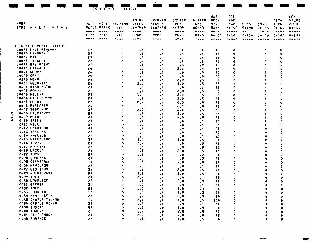
‘IONAL FORES1 t STIVlME OOPS FIVE FINGFhS r)OP6 FANQHAk oont CAT 0088 T ANRENT OOR9 BAY PnINT 0090 f ARAGIIT 0091 GI.L’RY 0002 GQAV 039B KFKU 0400 SECIIRlTY 0401 NASMINGTOM
,0402 ROkAN OUn3 PILLAR 0404 PTLF nHTvFR 0405 ElFNA 0406 EXPLODER 04177 TEBFNKOF
,0408 BALHSFVRY ,0409 EIFAR .OUlO TAbLE 10411 kFLL 10412 tiCARTHUR 10413 AFFLEfK 10414 ArELlUS 10415 BFP!lCLtRC 10416 ALVIN 10411 kn NAME .0418 LAGOON 10422 IURN 10424 BWFHTA 10425 CATHEDRAL 10426 hAMILTON 104?7 BTG J@HN ,04?8 HOCCY PASS IO429 IPI9H 10410 LOVELACF 80431 BARRIF 10432 TOTFH I0433 DWGLAS 10454 KAW SHEFT9 IrlOSS CASTLF TSLAND 10436 CASTLE RIVER in438 INDIAN 10440 TONER3 11)441 SALT CHUCK I0442 PORTAGE
1’ 22 21 22 21 26 24 2s 21 2h 20 21 21 21 27 26 27 27 27 23 27 22 2' 2? 27 21 20 I?4 22 22 14 23 26 25 20 22 21 23 1n 21 19 21 20
:: 21
n n n
0 n n n n n n n n
n 0 n ll n n n n
n
0 n n n n n
n n
n n n n ll n
n n n n 0 n 0 n n 0 I,
:t 1.2
.u 1.1 1.h
.l
.U
.Q 2.0
.b
.Q 3.') 1.1 2.4 1.t 2.2 1.9 1.3
l .b 1.6
.u
.Z 1.4 2.0 2,i 1.b 1.1 1.2 1.9 1.3 1.r 1.b 3.1 2.2
.S 1.0 1.6
.5 1 .,u 2.1 1.7 1.1 1.2 2 ..u
.J
.n
.n
.n
.n
.n
.n
.n
.n
.n
.n
.n
.n
.n
.n
.n
.n
.n
.n
.n
.n
.n
.n
.n
.n
.n
.O
.o
.I)
.I)
.n
.n
.n
.n
.O
.fl
.I
.n .I) .o .a .n .O .n .o .fi .n
.a
.a
.a
.a
2:: .6 .o
:::
2:$ 2.0 2.0 2 ..o 2.0 2.0 2.0 2.0
.a
.4
.u a.4
2::: .b
2:: .8
2:: .4
2.0 2.0
2:: .4
i-5 210 2.9
2:: 2.0 2.0 2.0
.l
.l
.1
.l ? .
.5
.Z
.O
.5
.5
.l
.q
.5
.5
.5
.Q 5 .-
.5
:: .I .I
:1 .5 .2 .2 .5 .7 .? .5 .l
5 .
:: .f .l
:: .5 .5 .l .5
5 . . .5 .5
lJ8 ou 08 08 oe 40 56 50
2: 75
0 0
2s 25 25 2s 75 ?S 25 25 25 ?S 25 25 ?S 25 25
7: 28 70 28 28 28 28 28 28 28 28
100 ?8 28 P2 n2
0
n n n 0 n 0 0 n n 0 0 0 0 n 0 r) 0 n
n n 0 0 0 n
0 0 n n 0 0 0 0 0 n
s 0 Q 0 0 0 0 b 0 n 0
0 0 n n n n n n n n n 0 n n 0 0 n n 0 0 n 0 0 n 0 n 0 0 0 0 0 0 0 0 0 0 0 n 0 0 0 0 0 0 0 n
-
0 6 6 u 6 0 6 0 0 0 0
-0 0 0 U 0 0 0 0 0 0 0 0 0 0 0 0 0 0 0 0 0 0 0
: 0 u 0 0 0 0 6 0 0 0
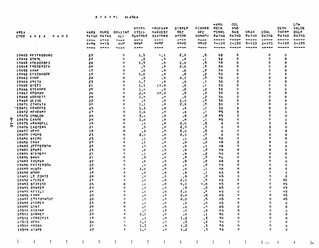
AREb CODF A k E A hAME
10445 PFTCRSBURG 10446 SnlcnL 10448 tnEUOD3K I 10449 f PEDERICK 10455 VAhK 10462 C"lCHAGOF 10463 KIJNK lOUA ANI tA I n465 QUIFT 10466 STEAMFR 1 nUb7 HnSuAN 104bU bUkNEtT in469 OLIVE 1OUtU ZlBOvlA
YOU?1 CFNFFFE 10472 htWFNPV 10473 ONSLOW
7 10474 CAWE g I@475 nR4,NGFLL
10476 EABTEPN 10477 NFHn 10479 lW~3 104Rl BAIRD 10482 D&N& 1 OUU3 JFFFERSrlN lnUR4 SPURT IOU95 ScENEat 10496 QUA'4 inun 1WO"'A.S lOUA PdTtERSCW 1 OUa9 HIJUDY 10490 H’IfiN lnuol LE CONTE 10492 rTLKE9 10493 STIKINE 1 tl4OU SHAKER lnUo5 KFTILT 10496 FbRCI j OUS7 Cn~tD"*wn ln49P AF'DREU 10499 Gr)4t lOSt10 KlKAkF 10501 GARNET 10502 vIRr,Ik’lA inso tiFRG lfl5OU MADAh 10505 oIAKE
9 T 4 t FJ Al A9KA
POTFh uAP3 OURS GRAZTNT: YTELL
2.3 22 20 2n 17 19 24 23 21 2s 26 20 22 20 2s 27 26 20 19 21 1R 23 23 2' 22 23 21 21 22 2? 2' 10 24 21 24 2 'J
5: 2? 21 2n
5: 1s 2h 21 2?
n b n n 0 n n n 0 n n 0 n n 0 n (1 0 n n n 0 n n n n 3 r! rl n n !, n 0 0 n n n n n n n ll n n n c
1.5
1:: .‘r
1:: .8
1.7 1.1 1.4 2.u 1.0
.(J 1.1 1.3 1.6 3.J 1.c
.a L,
:; 2.u
.Q
.1
.‘4
:: .3 .b .U
1.c .u ." .u .J . 'J .b . 1' ." .u . (J . 1'
1.1
1:: 1.3 1.”
I I I
I.1 .fi .fJ .n .n .'I .n .n
1’1.9 .n
in.0 .n .n .h . ci .n .n .n .n .n .fi . f! .n .n .Q .n .n .n .n .I) .n .n .n .n .n .n .3 .n .n .h .n .n .n .n .n .n .n
2.0 .u
2.6 2.0
.b
.8 2.0
.4
.u
.e
.e
.b
5:: .a .a .8
2::: 2.0 2.0 2.0
.U
.u
.4
.B
.8
.A
.8
.fJ
.U
.a
2:: 9.0
.b 2.0 2.0 2.0
.O
.U
. (1
1:; .8
1.2 1.2
:: .5
5 . ? l
.2
.-
.:
.l
.2
.? 7 .
.c
.5
:t .2
:: .q .5 .5
:i .l .z .t .? .2
:: .I
? . 5
1:0 .2 .q .5 .5 .n .n .O .l .I .2 .3
1 . .
I
42 (1 0 42 n n 78 0 0 24 3 0 24 0 0 30 0 0 IO 0 0 10 0 0 SO 0 0 30 n 0 30 0 n 30 0 0 30 0 0 30 n n 30 0 0 A5. 0 0 ES 0 0 PS n 0
0 0 0 0 0 0 0 n n 0 0 0
50 n b a9 0 n U8 n n au 0 0 50 n 0 50 0 0 a8 0 n 50 0 0 atl n 0 hS 0 0 65 0 n 65 n n 65 n n 65 0 n 65 0 n 65 n n hS n n 45 0 0 65 0 n A5 n 0 90 n 0 00 n n 00 n n 00 n n 00 n 0
I I-- I
0 0 0 u 0 0
ii 0 0 0 0 6 u 0 0 U U 0 u 0 6 0 u U 0 0 6 u U 0 0 0
a5 0s 45 U5 05 05
U 0 iJ 0 0 0 U 0
I
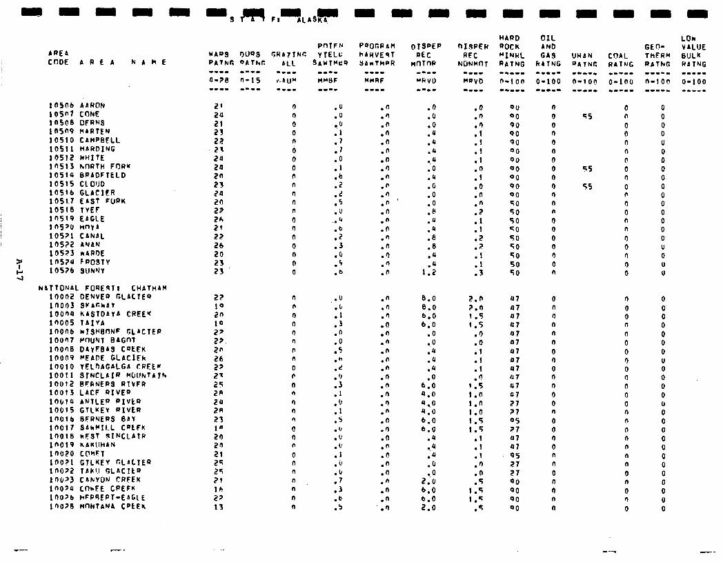
AREA CnOE A R L A
- - -9,2asF,,,A,,4 - - -
i owb d~f40~ 105f’? CONE 1 nS@B OFRNS 10509 MARTEN 10510 CAMPBELL lOS!l HARDING I OS12 ClHZTE 10513 hnATH FrlRw 105111 BRAOFTELO 10515 CL0110 lOSIb GLACIER 1051.7 EAST FURK 10516 TVEF lnSf9 EAGLE ins'0 HnYA 1 OS?1 CANAL LOS?2 ANAN 105?3 I~ARM 1 mu F POSTY lOS?b SUNWY
NaTTONAL FOREqT? CHATHAM 10002 OENVEQ CLACTES 1n003 QKAr.hAY lOOQ4 KASTOAYA CREEq 10005 TAIVA IfJOn kI.SHBnNF GLACTER 10067 PnUNT BAGnT 1 OOQ8 OAyEBAS COEEK l(1009 WAFE GLAClFk 10010 YELOAGALGA CREEw 10011 SrNCLAIR NNhTAfh 10012 BFfiNEPS RlVFR 10013 LACF RIVED 10614 ANTLER PIVkQ 10015 GTLKEV RIVER loorb BFRNERS BAY IflO 3AhrIl.L CWFN inoie kFST qINCLATP inot9 NAKllHAN ino?o ClVFT 10021 GllHEV r.LbLTER InO> TAKlJ GLACILQ 1 n6’3 CAkYOIJ CRFEK inopu CthFE CPEFK lOO?b hFPSEPT-EAGl E 1 no26 t4nNTANA CPCEK
29 20 21 23 22 23 20 20 20 23 20 29 27 26 21 22 26 20
22
::: 10 2p 22. 20 26 22
z: 2R
5:: 23 1’ 20 20 21 25 2s 79 lb 22 13
0 9 0 0 n a 0 0 n n n n n 9 n n 0 a
n 0
n n I? n 9 n b n 0 F n n n n n 0 9 n 0 n n n n n n
.fl
.')
.n
.n
.n
.n
.n
.')
.n
.F
.n
.n
.n
.n
.n
.n
.n
.n
.n
.d
.O
.6
.O
.u
.a
.b l . 4
.O
.Q
.c
.O
.o
.8
.q
.Q
.a
.8
.U
.u
1.2
.n 6.0
.n 8.0
.+J 6.0 .O 6.0 .n .O .n 0.0 .n .u .n .u .n .a .n .O .n 6.0 .n 4.0 .') 4.0 .n 4.0 .n 6.0 .9 6.0 .n .'I .n 0.4 .I! .o .n .f~ .n . 0 .n 2.6 .n 6.0 .n 6.0 .I) 2.0
HARD OIL ROCK AN0 "INRL GAS RATNG kATNG -.-II -m-w- n-1 on O-100 --m-m -.1-1
.6
.n
:: .I .T .I
:: .O .n .n .2
:: .2 . .:
::
QO 00 90 90 90 00 00 00 00 90 00 50 SO 50 GO 50 SO SO 50 50
2.0 u7 2.n 47 1.5 U7 1.5 a7
.I) 97
.o 07
.l 07
.l 07
.l U7 n
1:i 07 07
!.n 07 1.0 21 I.0 ?I !.S 05 1.5 27
.l 117
.l 07
.l 9s
.n 27
.n 27
.5 Qo 1.5 00 I.5 90
.q 00
n 0 0 n 0 0 0 0 n 0 9 n n 0 0 0 0 9 0 n
0 n n n n n
0 n 0 n n
0 0 n 0 0 9 0 n n
0 n 0 n n
0 45 n
0 0 n 0 n
ss 0 n
55 0 n
0 0 n n 9 a 9 0 0
9 0 0 n n 0 0 9 0 9 n
9 0 n n n n n n n 0 n
0 n
0
0 0 0 0 0 0 0 U 0 0 0 0 u 0 0 0 0 0
i 0 0 0 0 0
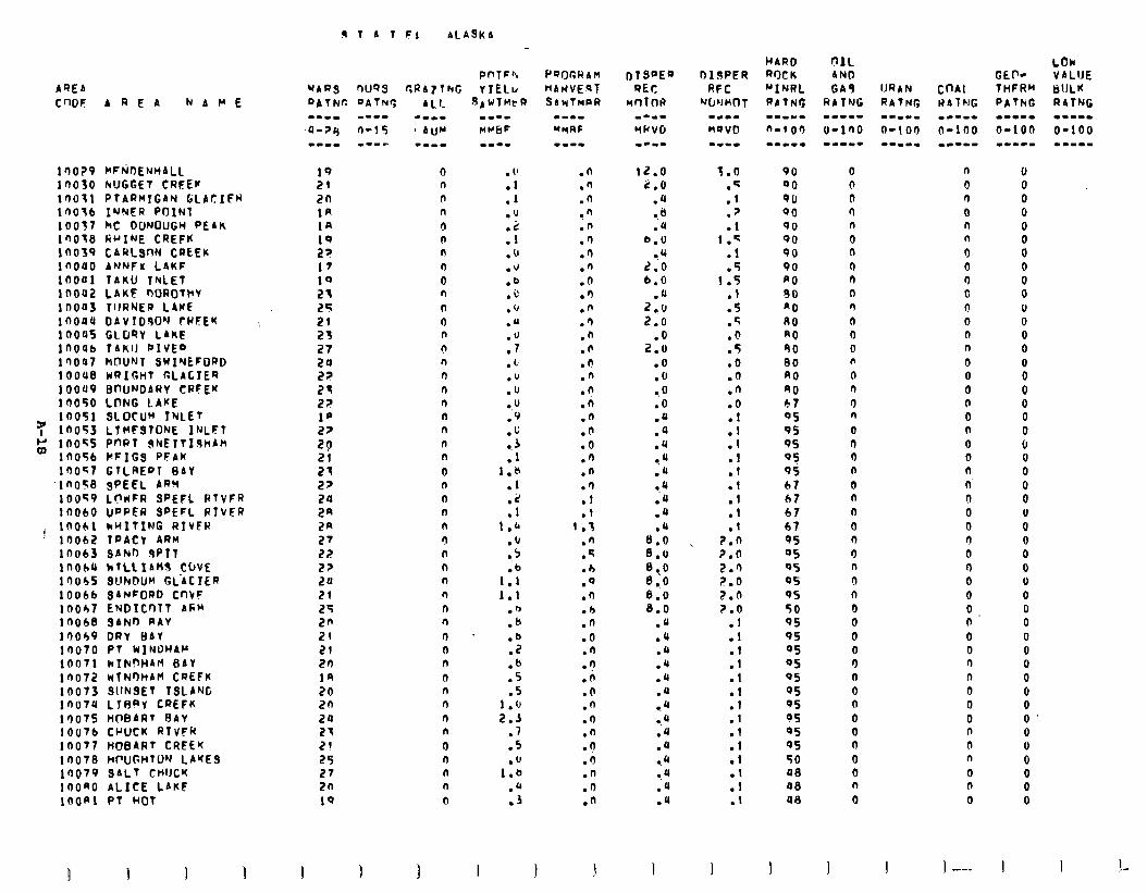
9 T A 1 F; ALA9KA
AQEA CWF
100?9 16030 1r)ot1 1QO’ib 10037 i now In039 i nouo inoui lnou2 in003 in044 100~5 in006 in007 1OouB iooao i no50
7 10051 in053
g in055 1 no56 loo<7
~ino58 10059 10060
j 10061 10062 10063 inohu 10045 10066 10047 loobe 10049 in010 inoti in072 10073 ino7u 10075 1 OUT6 in077 1 no78 10079 1noao lOOA
AREA MAWE
MFtiDENtiALL NUGGET CRFEV PTARMIGAN G;LACIFW INNER POINT MC OONOUGW PEAK RHINE CREFK CARLSON CREEK ArJNFx L4KF TAKU TNLET LAKF MMDTt+V TIJRNER LAKE OAVTObO'J rRFEK GLORY LIKE TAKII DIVED MOUNT SwIvEFDRO HRIGtlT GLACIER BnUNOARY CRFEK LONG CAKE SLOCUM TNLET LlHFSTONE INLFT PnRT 9NETTIohAM HFIGS PFAM GTLREDT BAY SPEEL ARti LC'wFR SPEFL PTVFR UDPFR SPEFL ATVFR kHITING RIVFH TPACV ARM SbNr) qPIT hTLLIAH8 COVE SUNDU~ GL'4C IER $ANFORO CI-IVF ENDICr)TT Afin SAND-AAV DRY BAY PI WINDWPM wIluqH4fi BAY nTN0HAH CREFK SllN3ET TSLANG LlBaY CQEFK HOBART BAY CVUCK RTVFR HOBART CREEK HFUGHTUN LAYES SALT CtIlJCK ALICE LAKF PT HOT
P 1
WAQS nUQS CRA7lNG
19 21 20 1R 18
:; 17 10 21 25 21 23 27 24 22
2P 21 21 29 20 24 2a 27 22 27 20 21 25 2n 21 21 2n
:: 2n 24 27 21 25 27 an 10
cl n (I n n n n n 0 n 0 0 n n 0 n n 3 n n n n 0 n 0 n n n n n n n n n n n n 0 n n n n 0 n n n 0
. 1’ ml 01 mu
:: .u .J .e .i’ . ‘J .U
:‘: .L .v .u 0.” 09
:.4 .I
1.8 .I
:: 1-h
:i
1:: 1.1
:E .b .z .b 05 05
1 . 0 2.3
07 05
1::: 04 .3
.n
.n
.n !” .n .I) 09 .n .(I 00 .n 09 .n .n .n .n .n .n .n .n 00 09 .n .I) .I .I
1.3 .n .q .h 00 .I) 04 .n 00 .n -9 .n 00 .n 09 .n .n 09 .n .n .n
12.0 2.0
04 -.b .a
b.U *'(
2.0 6.6
l u 2 0.0 2.0
2:: 00 .fJ 0.0 00 .a 04 04 -. u .a 0.4 l u .u
0:: 8.0 8 0.0 8.0 8.0 8.0
mu 04 .a .Q .u .u l . 4
0.4
mu
.Q
0.4
mu
.u
.Q
I
3.0 .s ml l 7 01
1 .q ml 05
1.5 .I 05 l 5 00 05 00 .Q .n 00
:t 01 ml 01 01 .I ml 01
?.n ?.(I 2.3 2.0 2.0 2.0
.I
.I 01 .I ml
:t .I .I ml .I
:: .I
90 0 00 n 90 0 00 ll 90 n 00 0 90 n 90 n a0 n 80 0 a0 n A0 0 RO 0 90 0 80 n A0 0 80 n 67 0 05 n 9s 0 95 I) 05 0 95 n 67 0 67 n 67 n 67 0 95 9 05 0 05 n 95 9 95 n 50 0 95 0 95 0 05 0 OS 0 05 0 95 0 05 n OS 0 05 0 QS 0 50 0 40 0 48 n a8 0
I
n 0 9 0 n
i 0 0 0 0 0 n n 0 0 0 n 0 0 0 0 n n. 0 0 0 9 0 9 0 0 0 n 0 0 n n 0 0 0 n n n 0 n 0
I 1 --..
LDk GEF- VALIJE THFHH dULK PATNG RATNG --..a .--mm 6-100 O-100 w--L- --II-
0 0 0 0
i 0 0 0 0 U 0 0 0 0 0 0 0 0 0 6 0 0 0 0 u 0 0 0 0 0 0 0 0 0 0 0 0 6 0 0 0 U 0
0" 0
I I 1 _-
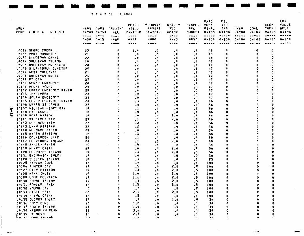
AQE4 CWF 4REA N A h t:
in092 ~~tiw CDEFK 1 nOR3 PI-IRT WJlJGuTntd ,OOaU SAN9BntiN CANPI. 1dOOU SIJLLIVA’J TSLP’JO IQ005 SllLL IV4” ML’l.lN~ATN 1nOQb S [lAVTOBUN GLICTEP 10007 hFST BULLTVEN In098 SULLIVAN DLLTA 19009 PT CAN 1r)lnO NnRth ENOTLnTT 10191 MOUNT YnU'JG in102 UDPFR ENOTC~TT R~vEP inin in3 CPEFK Inins SnllT~ ENOTC~TT inins LOWER ENOTC~TT PIvEp Ir)lr)b UPPPR ST JAMC9
32 10197 hILLIAn HFNPV 84Y I IOlb8 PT OANGFR
g lOIn BnAT HApBnR Ifill ST JAMES 9AV lnll2 h'lN Ht'UNT~Iu 10113 LVNN RiSTFkft
-l”llU Nn NAME B4SlN 10115 EARTH QlATlnh 1011 b C'WvEpOEN LbKF lnli7 C~UV~ROEN IJL4hn 10118 ANSLtY RAgIN 10119 HllHPY COEFK 10120 PrlRpUTSF TSCAYO lnlE1 EYCIJPqInN IrlLFT lnl?u S~ELTFR Iwbruo 10125 R4RLOW cuvt lnl?b FlINTEn PAY lnl?t CAl.Y STATTON lnl?B hAkK ThLE; 101?9 LnNF MOUNTAIN In130 HnRsE I!lLAhn 10131 FnnlER CREtK 10132 YnUNG BAY lnl33 EAGLE PFAW lnltu SLINR CQEFK 10135 OlIvEp INLtT lnl3b OnTV COVE 10137 S’lUTH IJLAlvn ,9,3B c~ASH@IIRN ptbk 10139 PT WCH In100 O’WN VSLAND
22 n 21 9 27 n I# n 2u n 24 n 21 n 24 n 21 n 20 n 2n n 2s n 20 n 21 n 24 n 23 9 1n n 1p n 1R n 21 n 23 c 22 0 22 n
::: 0 0 24 n 10 n 23 n 1Q n la n 19 n 1p n IT n 19 n 15 0 19 n 14 n la n 2: 0
n IA n 1R n 20 0 21 n 21 n
0 n
-.
1." .b 00 .i .c
:; .u .u l u .lJ l u .u
:i .U 01 00
:‘;
:: ..U .3
:: .5
:I; 00 03
:; .j
1.b 1-c
.3 1.5
07 2.1
.5 07
t-t 3:2 2.3 1.6
$ T A T F; Al AS#4
.I)
.n
.n
.n . . 9 03 .n .n 0’) .n .n .n .n .n 09 .n .n .lJ .n .n .A 09 .n .n .n 00 .n .i 00 .n .n .n .n .n .n .n 00 .n .n .n .i .n 09 .n .n .h .n
0.4 .Q l u .a l u mu mu .U .Q .u 00 00 00 00 mu 00 .U
2::: 2-u
04 .Q l u .u
2::
2::: 2.0
08 .U
2::: 2.0 2.0 2 0.0 2,o 2.0
0.8 2.0
0.0 1.6
.u 04 .u ,u .Q
::
:1
:1
:t
:: 00 00 .n
:Y .n’
:t 05 .5
:: ml
:I s .
ml .S 05 .? .I 01 .q l 5 05 05 .e 05 .? . .:
:f .I
:t .I
a8 a0 atl Q7 07 07 47 87 07 47 07 07 07 07 Bb 96 bb nb Ab 36 3b 36 36 nITI PB
,REl 56 36 36 36
1:: in0 100 100 100 in0 in0 100 100 in0
34 39 3u 34 34 3u
n 0 0 n 0 n 0 9 0 3 0 n 0 n 9 0 0 n 0 n 0 0 0 9 n 0 n 0 9 a 0 n 0 9 0 n 0 0 0 0 0 0 0 0 0 0 0
0 0 n n n 0 0 n 0 9 n 0 0 9 n 0 n n- 0 0 0 0 0 n 0 0 0 0 0 0 n 0 0 n l-l 0 0 0 0 n 0 n n 0 0 0 n
0 0 0 0 0 0 0 0 0 0 0 0 U
i 0 0 0 0 0 0 0 0 U 0 0 0 0 0 0 0 0 0 0 0 0 0 0 0 0 0 0
8 0 0 0
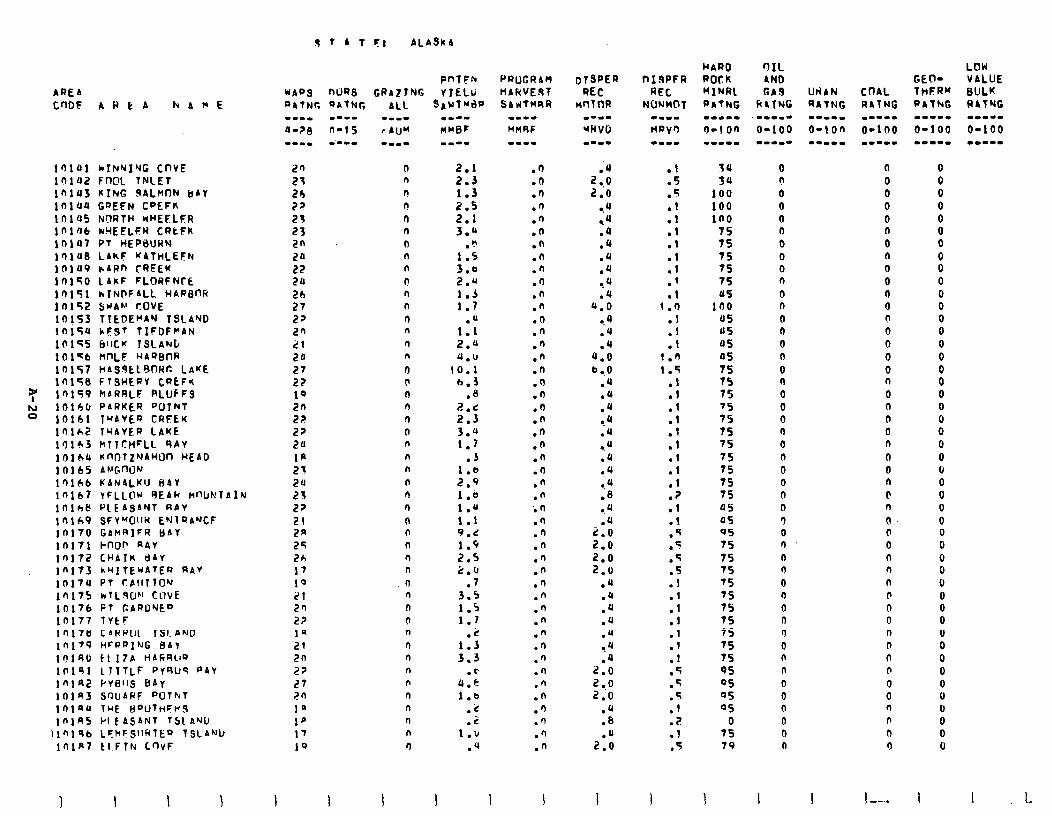
AREA CnOF A H E A kAME
l’JlO1 *INYIYG CnVE lnlU2 Fn@L TNLET lfilU3 KIM 9ALMnN BAY la104 GREEN C~EFK lnlQ5 NI)RTH nHEELER lf’lflb rrYEEi.FH CRtFK in107 PI HEPBURN lOl’Jt3 LIkF MATHLEFN lOlU9 cARn CREEK 10150 LAKF FLORFNCE 10151 hTNlrFALL WAQBfVi 10152 SUAh’ COVE lOis3 T?EDEMAN TSLAND ln15U hF9T TIFIJF~AN II’155 6’lCw TSLANJt 101-b nf-‘LF H4QBnR 10157 HAS9kl8fM4r: LAKE 10158 FTQWEPV CREFI( 10159 kARRLF PLUfFS 1016f~ PARKER QCIJNT 10161 T”AVEQ CREEN 10162 TctAVER LAME 10163 MTTCHCLL RAY 1Qlbb I’.fh-IlZ”rAHUn HEAD 10165 At.‘GnlJN lr)ltvb KANALKIJ BAY lnlb7 YFLLW c)EAR W’UNTA~N lOlh8 PLEASANT RbV 10169 SFY”OttH ENlQA”‘CS 10170 GAMSIFR IjAY in171 hnO? R4V 10172 CHAIK dAr l"173 hUltEWATEQ RAY 1017u Pl Cb~lllOY 10175 hTL-40~ CWE 10176 PT GARDYEQ 10177 TVlF 10178 CARPUt lSl.AND If1179 HCROlNG BAY lr)lRO fl17A HbfiRl~'J 10191 LTTTLF PYRU9 PAY lnla2 Pvells BAY lnln3 S’WAPF “‘Jl~~f 10lau THE BQUlnFt’,S 1nlAS I’I fALjAN1 TSl Awl,
\1’119t1 CfkFSllRlE9 l!jLANL) iniP tIFlF( CnvF
9 7 A 1 FI ALASKA
PnTFh PROGRAM WA09 ni)RS GRrZTNG YIELI; HARVEST
20 23 26 72
s: 2n 20 22 20 2b 27 22 26 21 20 27 22 19
5: 22 20 1p 23 2u 23 22 21 2R 25 26 17 I’, 21 2fl 22 la 21 20 27 27 2n 1’ 1p 17 19
1 I
w--- nMBF
2.1 2.3 1.3
2: 3:1
h 1:; 3.6 2.0 1.3 1.7
1:‘; 2.u 0.11
10.1 h.3
.e 2.e 2.3 3.44 1.7
.J
:-s l:b 1.d 1.1 9.2 1.9 2.5 2.c
.7 3.5 1.5 1.7
1:s 3.3
.c u.4 1.6
.k -.
1:: .4
1 1
.n
.n
.n
.n
.n
.d
.o
.n
.n
.I)
.n
.n
.O
.n
.fi
.n
.n
.n
.n
.n
.n
.n
.n
.n
.n
.n
.n in .n .n .n .n .n .') .n .n .n .n .n .n .n .n .n .') .n .fi .n
.'a 2 ..o 2.0
0.4 84 .a .u .u .u 34 .u
4.0 9.0 .u .Q
4.0 b .,O
.U
.u
.U ?4 .U ..u .u 0.4 .u .8 ..a
2:: 2.0 2.0 2.0
.u
.a
.U
.U
.U
.4
.a 2.0
:I; .4 .B
2::
:: 5 .
.1
.l
.I
.1
:1 .’ .I
1 .n
:t .l
1.0 1.5
:t .I
:: .l .l
:t
:: .I .5 .f .5 .5 .l
:1
:1
:I .5 .5
:: .2 .I .5
I I
74 54
100 100 100
75 7s 7s 75 75 US
in0 05 45 OS 05
2 75
:5 75 75 75 75 75 75 05 05 05 75 75 75 75 75 7s 75 75 75 75 95 05 05 0s
7: 79
0 n 0 0 0 n 0 0 0 n 0 n 0 n 0 0 0 0 0 0 0 n 0 n 0 0 0 0 3 0 n
n n 4 n 0 n n 0 n n 0 0 0 0 0 n
1
0 0 0 0 0 n 0 n 0 0 n 0 0 0 0 0 0 n 0 0 (I 0 n 0 0 n 0 n 0. 0 0 n 0 0 @ 0 0 0 0 n 0 0 0 0 n n n
I I --..
LOW CEO- VALUE TwSR" BULK PAfhG RATNG m---w -1-1. o-1 00 O-100 --I-m .1--m
0 0 0 0 0 0 0
8 0 0 0 0 0 0 0 0 0 0 0 0 0 0 0 0 0 0 0 0 0 0 0 0 0 0 0 0 0 0 0 0 0 0 0 0 0 0
I I 1.
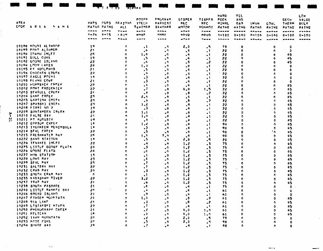
AREA cw
10198 lOlR9 10190 10191 10192 lfll94 10195 10196 In197 inloB 10290 10202 1020? in2ou 10205 1n2n7 ln2nB
7 10209 10210 E 10211
in212 in2r3 10214 Ifi 102?2 ln2FU in2p5 102Zb I@2?7 10228 in229 in231 in232 10233 10235 in217 1023B 102ao in2u6 1n207 in2ut) 10209 i 0250 in251 10252 10253 I n25u
ARCA hAWk
Wubl Al THknP PnFir 4LTHPW InAWJ INLFT GULL CUVfi GflUSE IdLANio LWl”J I AWE.9 Pr 8cmLPw!s CHlCnSN CQtFK E bGLE PnJill FLYNN CnvF rlJt4PBACM C keEW Pf!Rl FRECFkl(w SFAGULL CFkFI’ GlrHF CRFEW GAPtIN CDEFa SPA3SUI CT)EFh FlRhT NII 9 SUNTAHEFN C‘?tFK FbL9E BAY PI AUt?USTb GVP3UM CWFtw IVDIIKFEN “tNJI’JSllLb SFAL tRFE* FRESHWATER RAY SbNn 3TAllLIN TFhAkFE INLFT LITTLF GOWF FLAT9 Gn(l9E FL ATS n!lb STATInN LONG RAY SFbL QAV SALTERV PAV CPAR QAV SrlUTtl CQAR RbV k A04SHAU RIVER tt?AP RAV . SWTW PAS3bOE LITTLF RAAhFT HAV BWbD ISLANa FtNJr;EfJ Wll~:TAlN 916 LA&F LTSTAh'SKI HtvFk PWNUGRAP~ CHFEM PFLTCAN 1 LIlN ‘4UlNTAtN klTE fOVE QllwcE tidy
19 21 25 19 22 20 21 27 la 21 27 22 21 21 2n 23 10 22 21 19 I@ 1’ 3) 2s la 22 20 ?a 1s 23 25 2?
.2n n
22 21 21 2n 21 21 21 2s 21 1p 20 2p 2a
n n n 0 n r 0
n n
n r
0 n
n n
n n n n
0 n n
(I n
n
n 0 n n n n n n n b n I, 0 n n n n n n
n r n
a---
.1
.b 1.8
.b
.t I.3
.5
.p
.3
.3
.u
.7
2:: .b
1.2 .3
1.1 1.u
.U 1.d
.3
.5 1.5
is
:::
:P .t: .7 .7
:: 3 .,2
:E .u .Q
1.0 .II .7 .i! .fJ
:: .7
PQWR AH kARVE3T SllUlMPR
.I)
.n
.n
.n
.n
.n
.n
.fi
.n
.n
.o
.n
.a
.n
.n
.n
.O
.n
.O
.n
.I)
.n
.I) 7.n
.3
.n
.n
.n
.o
.n
.I)
.n
.n
.n
.n
.n
.n
.n
.o
.n
.n
.n
.O
.n
.n
.n
.n
2.0 0.4 .u .4 .B 0.4 .u .‘( .4 .u .u
6.0 .8 a.4 .B .4 .a .U .u l .u .4 .u .u ..a
2.0 1.2 1.2 1.2 I.2
:*: 1:2
:=: 1:2 1.2
.u
.Q 9.0 .B .B :4
4.0 4.0 2.0 2.0
.4
. .:
.l
::
:: .l .1 .l .I
1 .s
:: .? .I .l
:: .I .I .I
:1 . 5 .3 .3 .3 .3 . 3 .I .3 .3 . 3 . . t . .3 .l .I .I .? .? .f
I.0 1.n
.5
.q
.I
:f 22 22 22
5: 22 22 22 22 22 22 22 22 22 22 72 22 22 90 90 90 90 20 7s f5 7s 75 75 75 75 75 7s 75 75 75 61 01 El 41 6.1 61 61 79 QB 9B
0 0 0 n 0 n 0 0 n n 0 0 0 n 0 0 0 0 0 0 0 0 0 0 n 0 n
0
0 n
0 r) n n 0 0 0 d n 0 II !l 0 0 n 0 n
0 n 0 n 0 0 n n 0 I) n @ n 0 n 0
.n cl 0 0 n 0
‘0 0 0 n 0 0 0 0 0 0 0 n 0 0 0 n 3 0 n 0 0 0 0 n n
a5 OS us 45 45 us us 4s 05 45 US 45 45 45 US us 45 45 a5 05 45 45 US 45 45
0 0 0
45 45 4s 45 us
0 0 0
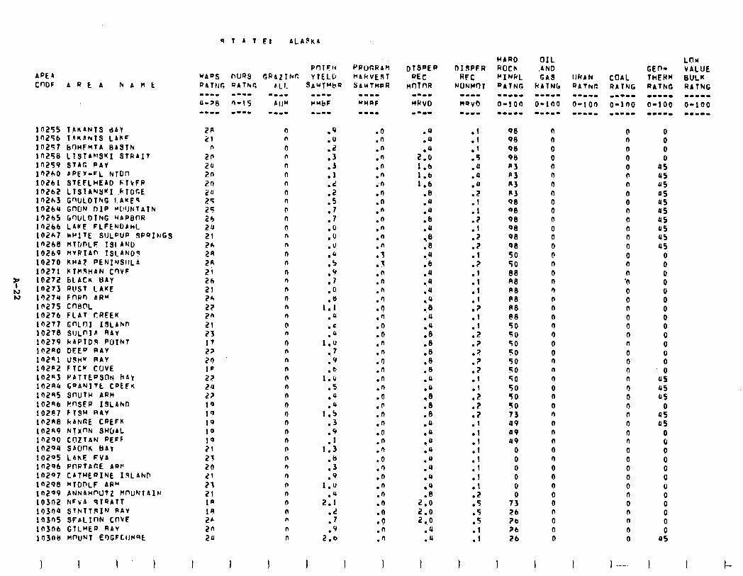
9TATF: ALAgkA
APEA CWF AREA hAHt
10255 TAlrANTS dbY i n256 T~wANTS LA~F 102Z7 BnHFMTA BASTk 1 n25B LlSTAPfSYI STRAIT 10259 STAG CAY i 0260 bPEY-FL NTDn lO261 STEFLHEAD k1bFR in262 LTStANYwI 4TDc.E i n263 GWLDTNG I.AWES ln2bu GnON DIP WlJluTAIk 13265 GWLDTNG ~APBnR 10266 LANE FLFENDbhL 102k7 IrPlTE SIJLPUP dP9INGS i42bB NltDiF I&AND 10269 HVRIAf TSlmAND9 10270 KHAZ PENINSIILA 10271 )rTMqHAN C’lVF 10272 6LACn l)AV ln273 RUST LAME 10274 FflRn AR" 10275 CnBnL 10276 FLAT CREEK 14277 tinLo ISLbfuD 10278 SIlLnIl 4A.y 10279 kAPlD3 PUIhT 102aO DEED PAV inzni lJ9H~ PAV 102P2 FlCr COVE ln2“3 PbTTEf'SON hAj 1OZRlc GaANITt CDtFn 102Q5 SnlJTH ARM 102nb k!WiEP ISLAhD 10207 FTSH RAY inzt3B kaw~ CREFK 10249 N!XnN SHUAL in290 cozrrrw PEFF 10204 SbUnn BAV 10295 LAkE FVA In296 PllRTAfiE APW ln297 CbTwEaINE I.sLAhF ln29B MTDnLF AUU In299 ANNAWCIUTZ HnUNTAIN 10302 NCvA STQATT 19304 Sth~tT.slN RAY 10305 SFALInN CTrVE 103nb GTLHEP RAV 19306 HWNT EI)GFCIIl'Rt
2A 0 21 n
n 0 2n n 20 n 7n n 20 n 20 n 25 n 25 r 26 n 24 9 21 n
2h n
2R n
2P n 21 n 2h n 21 n 26 n 22 n
2n n
21 0 23 n 17 0 22 n
21) n
I@ n
22 n 20 n 22 n 19 9 1Q 9 19 n 10 n 19 0 21 b 25 n 20 n 21 n 21 b 21 n la n 19 n 26 n 2n n 20 n
I
.9
.o
.2
.3
::
:;' .s .I .7 .o .O .U
:; .'/ .7 .Q .tJ
1.1 .4 .‘ .a
I.0 .7 ;v .b
1.0 .S .u .4
1.5 .3 .9 .I
1.3 .b .3 .9
1.u
2:: .2 .I .9
2.6
I 1
PuljcRAM HAkVE9T Srwtn~R
.I)
.n
.n
.n
.n
.n in .n .n .n .n .n .n
:: .I .n .n .n .') -9 .n .Q .O .n .n .9 .n .n .n .o .n .n .n .o .n .I) .O .9 .o .n .n .o .ll .o .n .n
I
.u l .u
2:: 1.6 1.6 1.6
.B
.u
.u
.b
.a
.a
.8
.u
.6
.u
..u
.JJ
.u l .B .u
:: .B .B .B .JJ .a
:: .8 .B .a .4 9. tJ .u .u .u l .u .JJ
2:: 2.0 2 ..o
.4
.u
I
98 98 08 98 p3 n3 A3 P3 9B QB 9B QB 98 9B 50 50 88 n8 ?B PB AB @B 50 50 50 50 50 SO 50 50 50 SO 73 99 49 49
0 0 0 0 0
7; 26 ?b ?b 26
0 0 0 0 0 0 n cl 0 0 0 0 0 0 @ a 0 n n (I n n 0 9 0 0 n n 0 0 0 0 n 0 0 n 0 n 0 0 9 0 0 n 0 0 0
I I
0 n 0 0 0 0 n 0 0 n n n n 0 0 n n '0 0 0 0 0 0 0 n 0 0 0 n 9 0 n 0 0 0 n 0 0 0 0 0 n 0 n n 0 0
I 1 ---.
LnU GEO- VALUE THEHM BULK RAThG RATNG WW.L. --w-I O-l 00 O-100 w--mm -.I--
0 0 0 0
45 45 JJS 45 us 95 45 05 45 05
0 0 0 0 0 0 0 0 0 0 0 0 0 0
US 45 US
0 05 45
0 0 0 0 0 0
: 0 0 0 0
05
I I
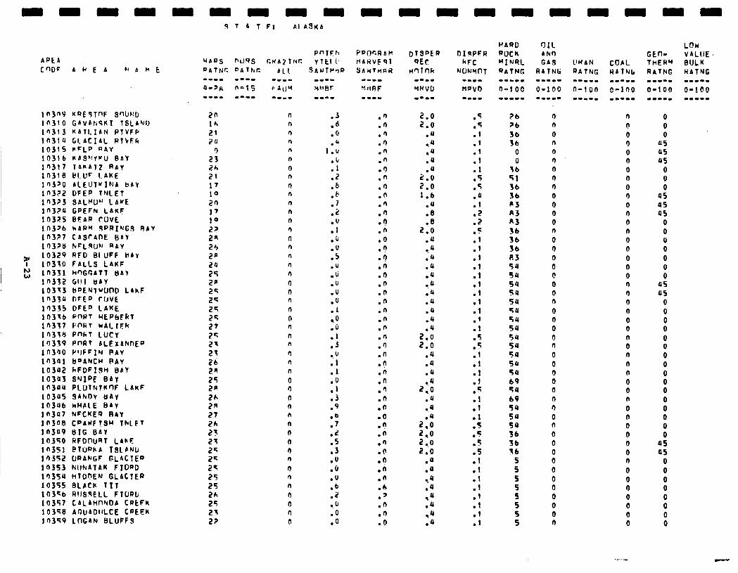
APCA CnDF AKEA b' A h E
ltJ3n0 KQE?TnF SWrrD 10310 GAVArisKT ISLAND 10313 KArLIAN PTVFP IfISlu Gl ACIAL RTVFR 10315 rFLP RAY 19316 PAS'!YuU BAY ln317 TAKAIZ RAV In318 PI.Ur LAKE ln3JO AlEUTulNA BAY lf’322 DFEp TNLET 10323 SALW"' LAUE in370 GpEFN LAKF 10375 BCAR rLlVE 113376 WARM 9PRI'dGS RAY ln3?7 CASCAtJE BAl 1’73?8 NELWN nAY
7 10329 RFD BI UFF BAY 10310 FALLS LAKF
N ‘, 10331 hnGr,ATT HAY ln332 GIlI t)AY 10313 LiPENlWWlD LAhF ln33u DFEP ~~JVE 10335 DfEP LAKE 10316 pnwT HEP~F~T in3;7 Pl?IiT wALrFk in338 Pm7 LUCY 10319 PnR7 ALEXANJnEa ln300 l"JFFIN PAV in301 B'JA'JCW PAY 10392 hFDFISn BAl 10303 SrJIPE BAY ln3a4 PLUTtdfKrlF LAKF 10305 SAhDV UAY 10306 kWPLE BAV 10307 NFCKEQ RAY 19308 CPAIIFTSY thlE7 lOS'J9 BIG BAY 10350 RFDWRT l.AhF 10351 @lIPhA ISLAND In352 URANGF GLACIEP In353 ~IlhtATAK FIOPD 1')3SU hlDnErJ GLACIER 10355 BLACK 111 103sb RtlSqELL FlURli 10357 CALAHnNOA CPEFK 10358 AOUADIILCE CPEEK 14359 LOGAN BLUFFS
.3
.d
.G
1:::
:: .z .b .r .? .i!
:Y .;
:i .u .u .u .u
:Y ,O .o
:: . 6 .I .I
:Y .3 .9
:; .L .s .3 .u .O .U .b .z 0.6 .o .o
.n
.n
.n
.9
.n
.n
.I)
.n
.9
.9
.fl
.fi l ? .n .o .n .$ .n .9 .n .n .n .n .n .n .9 .fi .n .n .o .n .q .n .n .o .n .O .'I .O l b .n .n .6 .7 .n .n .O
.5
.5
:I .l .l .l .5 .5 .a .I
15 .I;
:1 .I
:1 .I .I .I .l
:t .5
5 .- .I .l
:t 5 . .
:t .I
5 .- .5
5 .-
:: .l .I
:: .l
::
?b ?b 36 36
0 0
lb 51 3b 3b p3 a3 R3 36 36 36 p.3 54 54 5u 54 54 5u 54 5u 54 54 54 su 54 69 54 60 54 SU 54 36 36 36
5 5 5
z 5 5 5
n n
0 n n 9 n n 9 0 0 0 0 n 0 9 0 0 @ 0 0 a 0 0 0 0 9 0 0 0 0 0 n 9 0 n 0 0 0 0 0 0 0 0 0 0 9
n 0 0 0 0 n 0 n 0 9 0 9 n n 0 n 0 0 0 9 9 9 n 0 0 n 0 n n n 0 0 n 0 n 0 0 0 0 n 0 0 9 0 0 0 0
0 0 0
OS US OS
0 0 0
05 OS 45
0 0 0 0 0 0 0
US OS
0 0 0 0 0 0 0 0
8 0 0 0 0
i 05 as
0 0 0 0 0 0 0 0
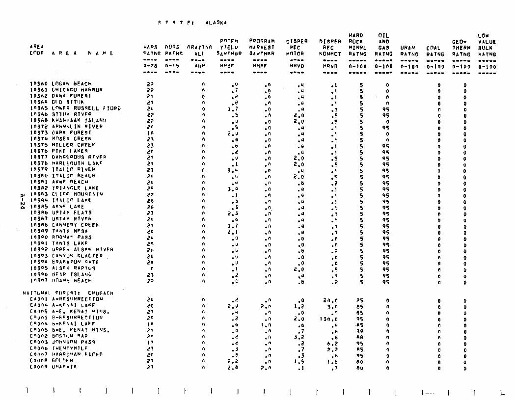
.'! 7 A T FI ALASKA
APEA WARQ WQS CRA ZTNG CnDF AREA h A .b' E PAThG PATNC ALI
10360 LOGAh bEACh 10361 CHICAr.0 HAkROR 10362 DAhU FUpEq7 10360 Gl 0 STTIJK in365 inhFi RUSlPELL F IUPD ln36b STTl1K RTVFR 103bB kl’ANIAAK TSL AND In372 APhNkLIN PIVEP 10373 DARK FURE!?T in374 nnsrw CREFK 10375 MTLLER CREEK 10376 PTnE I A’(EJ 10377 GANGtP0113 RTVFP 10378 hARLEW!N LAhC II’379 ITAI Ifl QIVEQ in3Ro IT&LIP REALw lt’3al ACwF QEACU rnw2 rpla~rxF LAKE
w ln3Q3 CLIFF WlUNTAIY 1 Ifi ITALIn LAKE
2 ln3A5 AKkF LAKE lfi3nb UPlAY FLATS ln3a7 USlAy RTVFk ln3RB CANvEpY CpEEK in3R9 TbhlS MFSb 1’7300 finDMA” PASS lfl3Ql 1ANTS LAKF in302 uwFw ALSFK RTVFH 10303 CbhVOY r,LAtTEp lfl304 bQAPA7ON r.bTE 1030s Al QFK QAPTuS 103Qb bFAP TSLANi, in307 DnAME tt)EACh
NAITUNAI. F(IOEPT! C~UCAtH CA001 A-RFS'lRRECTTO'J CAOOU A-NFhAI LAHF canns A-E. KENAT YTLIS. Cqonl P-FiFS~IHQCclTUN csonu a-KFNAI LACF cnons b-k. YEN41 Ml'J.5. C"On2 BnSTlJY RAW Cn6?3 Jnh'JSnN PASS c.nOnb TWEYTVHTLF L9007 HAripI"AN FlPFilJ CO608 GnLnEN LOO09 UNAvWTK
2? 27 21 21 20 27 22 2n 18 21 23 2n 2f 24 23 20 20 2= 22 20 26 23 20 21 20 20 2= 26 20 20
n
23 27
2u 2b 27 2c la 21 2n 17 23 20 71 21
I I
n n 0 n 0 0 Q n n n rl r) n n 9 n n
n 0 n n n n n d n n n n rl n n r)
n n n n n n rl n n n n
n
I I
.O
.7 0.2 .fi
1.7 .5 .fJ .5
2.0 .b
'. 6 .2
:Y 3.b
.L 0. u
3.b .I ., 3 .3
2.3 .b
1.7 2.1
.o
.u
.c
.u
.fJ
.I
.Z
.c
.n n
:li .n .o .n .b .9 .n .9 .n .n .O .n .n .n .n .n .n .n l 0.
.n
.d
.n
.n
.n
.n
.n
.fi
.'1
.fl
.r)
.n
.u
.4
.4 ,o .u
zl 14 .u .U .U .a
::i
2:: .b .4 .U .a .u .Q l .4 ..a .u .O l .O .b .O
2::
-.Q .e
:t
:1
:: .5
:: .t .l .l .5
:: .5 .Z .I .I .l
:1 .l
:: .d .n .? .n .n .5 .l .z
.n 2.9
.')
.n 1 .n
.n
.n
.n
.n
.n
.n 7.n
1::
2::
:; 3.2
.2
.7
1:: .l
I
20.0 3.0
.l 130.0
.u
.b
.6 6.2 2.7
.h 1.6
. 3
1 1 I
S S S 5 5
z
z
z S 5
s 5
z 5 S S 5 S 5 S S 5 5
z 5
5
?S 85 11s QS
.RS 39 ne QS A5 QS 80 A0
I
0 0 9 0
95 95
0 9s
0 a
95 95 95 95 95 95 95 95 95 95 95 95 95 95 9s 95 95 95 95 95 95 95 9s
0 n n 0 0 0 n 0 n 0 n 0
I
0 9 0 0 0 0 0 0 0 n 0 n 0 0 n 0 0 0 n 0 0 0 9 0 0 0 0 9 n n a 9 0
0 0 n 0 9 n n 0 0 0 n 0
I--- I
0 0 0 0 0 0 6 0 0 0 0 0 0 0 0 0 0 0 0
i u
8
0 0 0 0 0 0 0 0 0 0 0 0
I !-
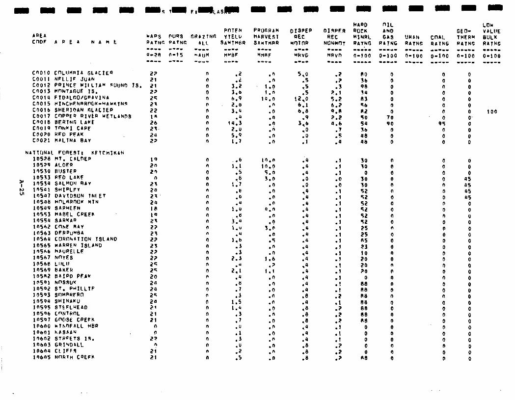
CnOlO COLUHRIA GLACIEQ 22 COO11 NFLLIF JUAN 21 COO12 Pf’INCE UII LTA” f=UuNO IS. 21 Cn013 MflNl~rtUE .IS. COO14 FIDALGO/G~AVlNA CO015 ~IkCHFhRAf’CM-UAULTNR COO!6 SHERIPAN CLACIEP COO17 Cr)PpE’? RIVER WETLANDS CnOt8 BERING LAKE COO19 TnhKI CAPE COO?0 RFD PFAK COO21 HALTNA BAY
NAT t[JNAL FORE$T I KFTCHIKAN 10528 HT. CALfXP 10529 ALDFR 10550 BlJSTER 10533 RFD LAKE
Y lfl534 S~LWN RAY N 10541 SHIDLFY VI 10547 DAVIDSON TNI ET
10598 HnLRRnOK HfN 10549 SARHEFN lnS53 HAeEL CREEK 10554 SARKAD 10542 CnkF RAY lOSC3 DFPhtWA 1nShU COAn’vAlION TSLAND 10565 nARREN ISLAND 1 fiSh6 h AUREL LE 10567 hnYES ldSl@ LllLlf 10569 6AKER lQSn2 BAIRD PEAU 1 SSPl kPS9U’( 1n592 ST. PMILLIP 10503 SOMPRFRO 10590 SWINAKU 10595 STtFLrEAD 1 nSQb C”NTlcnL 10597 GWSE CREFK 10600 klh-DFALL WBR lnbO1 hASAA"1 10602 STREETS X9. 10603 GRINDALL 10604 CL 1FF.S lr)6nS NnRTn CQEFK
n
0 n 0 n 0 n
0 n
n 0 0
n n 0 0 n n
n n n n n n n
n n n 0 n
n n n n n
0 n
n I) n n n n n
a
.Z
3:: 3.6 b.9
5:: .a
14.3 2.0 5.9 1.7
6 i:.1
.5 l .6
1.7 .e .b .U
I.0 9.
3.21 1.u
.u l,b
:: 2.3
2:.t .u
:; .3
1.5 1.4
.3
.7
.u
:: .u .2 .5
.n .n
1.0 1.0
14.0 .n .O .n .n .A .n .n
i0.n 1fi.q
5.n 3.0
.n
.n
.n
.n 4.n
.n
.a 3.e
.n
.5
.n
.n 1.6
.p 1.1
.n
.n
.O
.n
.n
.I)
.n
.o
.n
.O
.fl
.?
.n
.n
01 qPFR REC
NONMnT -a-- MRVlt DDPD
HARD “IL ROCK AND MlNRL GAS RATNr; RATNG --m-m -w-m- O-100 O-100 --se- =scs=
.2 BO 0 0
.P 36 0 0
.3 90 0 0 2.1 34 0 0 5.2 D3 0 0 6.2 56 0 0 9.0 82 0 (r 2.2 TO 70 0 4.6 54 90 95
.7 Sb 0 0
.5 48 0 0
.4 48 0 0
:: .I .O .O
::
::
:: .I
:: .l
::
:: .l .l
:: .l .z .Z .Z
:: .f .P .2 .?
30 30
3:
zz 52 52 52 52 52 25 25 85 z3 10
58 20
0 00 n0 R8 08 08 00 Re
0 0 0 0 0
A0
n 0 0 0 0 n 0 0 0 0 0 n 0 0 0 n 0 n n n I? 0 n 0 0 0 0 0 0 0 n n 0
0 0 0 0 n 0 0 0 0 n 0 0 0 0 0 II 0 0 0 n 0 0 0 0 0 0 0 0 0 0 n 0 0
0 0 0 0 0 0 0 100 0’ 0 0
i
0” 0
45 45 05 115
0 0 0 0 0 0 0 0 0 0 0 0 0 0 0 0 0 0 0 0 0 0 0 0 0 0
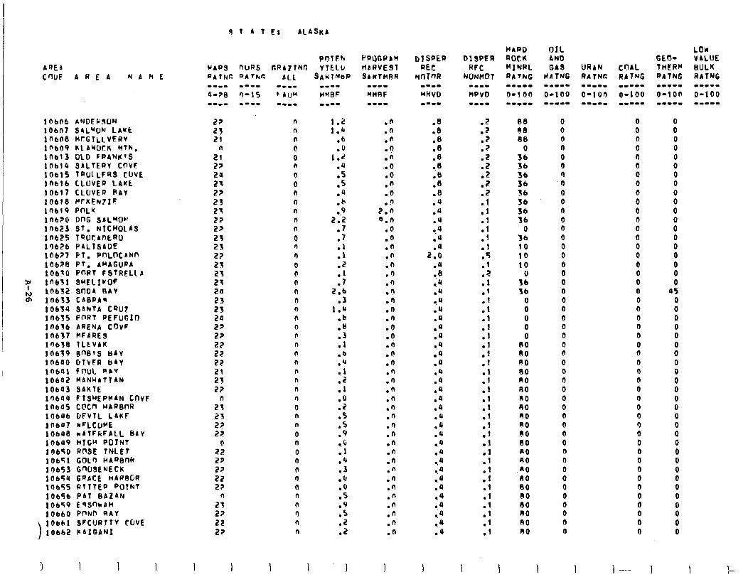
AQEA CWF AREA NAhE
lob06 ANDFP!ION lob07 SAL”ON LAMt lob08 HcGTLLVERV lnbo9 KLAWJ~K MTh, lab13 OLD FPANK’S lObt4 SALTERY CnVF lob15 TROLLFRS CUVE 10616 CLOVER LAKL 1Obl’l CLOVER RAY 10618 F’rKEhutIF ln619 PnLK lob?0 DnG SAL”fOh’ 10623 Sf. NICHOLAS lnb?s 7ROtAnERO l’I626 PALTSADE 1067’7 PT. PnLoCANn 10628 PT. AMACURA 106tO PORT FSTRELL A
7 10631 SHELIrOF
h) 10632 SnDA RAY Q\ 10653 CABPA*
10634 SAhTA CQUZ lOb3S PnRT REFUGItJ 10636 ARENA COVF 10637 MFARES 1’JblS TLEVAK 10639 BW’S UAY 10640 DTVFR b&Y lnbo! FOUL PAY 10642 MANHATTAN lOba SAKtE 14644 FtSLlEPHAN LnVF inbUs C@Cn WARBT)R 10606 DFVTL LAKF lnbol hcLCLWE lObU8 *ATFfiFALL BAY lObU9 hTGH POINT 10650 Rf’SE TNLET IObTl GOL3 wA’%nh 10653 GWSE’JECK 10654 GPPCE HARFJGR lab55 RtTTEP POTkT 10656 PAT BAZAN 10659 EqSnhbH lOb60 PnNP RAY lbb61 SFCURJTY COVE 10662 KAIGANI
1 A f E: ALASKA
POTFh nuRS GRAZING Y TCLLJ DA 7hr: ALL SAh’TMtlP
n n n
@ 0 n
0 0 n n n 0 n
0 n
n
0 0 0 n 0 n n 0 n n n
n n n n
n
0 n n
0 0
0 0 0 0 0 n n n n n
1 1
::: .6 .u
1.2 .u
:Z .‘( .b a.9
‘5 .l .l .1 .2
:: 2.6
.3 1.0
.b
.B
1: .b .Q .l
::
:i .s .s .9 a.0 .l .‘( ? 3 .(I .a .5 .9
:: .2
I
.n
.n .n .? .n
. . 0 .O .n .a
n 2:i Q.n
.O
.n
.n
.n
.n
.O
.n
.n
.n
.n
.n
.6 .a .li
0 . .n .n .n .n .n .n .n .n .n .n .n .n .n .n .n .n .n .n .n .a
.Z
.p
.?
.?
::
::
:: .I
:; .I .l .5 .1 .Z .I .l
:I
:i
:: .l .I
:: .l .I .I
;i
:: .I
::
::
::
::
1 1
R8 00 88
0 36
iz 36 36 56 36 36
3: 10 10 10
3x S6
0 0 0 0 0
00 80 FO 00 A0 80 n0 RO A0 A0 60 00 PO RO n0 60 80 80 80 RO 80 RO
0 0 0 n 0 0 0 0 0 0 n 0 6 0 0 0 0 0 0 0 0 0 0 0 0 0 0 0 0 0 0 0 0 0 0 0 0 0 0 0 0 0 0 0 0 0 0
0 0 n 0 n 0 0 0
: 0 0 0 0 0 0 0 0 0 0 0 0 0 0 0 0 0 0 0 0 0 n 0 0 0 0 0 0 0 0 0 0 0 0 0 0 0
) -.._ ) I r-
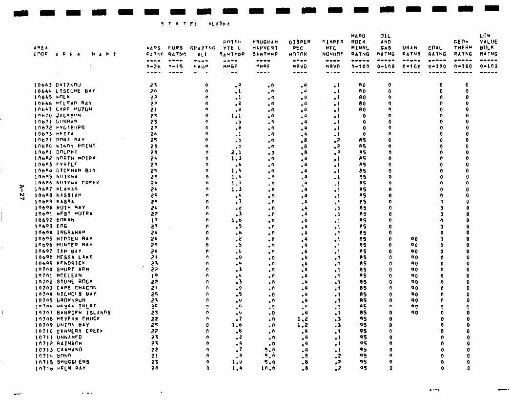
AQEA CnDF ADtA k P C' t
lObP3 DATZkW 10640 LTSCUr*E BAV 10665 hnLK 10646 MrLFAn WAY in637 LAPF WZ~JN in670 JACKSON IO671 L’I’NRA’J la672 H~C~ARIIPG 10673 HFTTA 1 flb77 DnRA RAY lnbno hthrnl YfJIYl inbpi DnLnt+T 106aZ M’WTh MOXPA lOba F’VRTLF ln6pU CJTCVMAN BAV 1 Obfi5 tdII7KhA lt-!bnb N1ITYcrA CRFtK lnbR7 KlAKA’i 10698 hASQlAH lObf'9 KISsA In690 RUTH QAV lr)b41 nFST WJTRA lO692 BnkAN ln6Q3 ECG laboo INGRAHAM ln6Q5 HTPnEtJ RAY lnb’?b Hc!lNfEP 4AV
10607 1AH UAV 10bQb HESSA LAKF lob99 ItFtvDHlC'c ln7no swp~ ARM IQ701 WCCLEAN in702 sTwE iincw 10703 CAPE CHICOh in7nu krLHol3 8sr 10705 b'?ClU)rSUN 107nb WFQqA IYLFt l’J7nt 8AHQIFR ISLAknS in7n6 PFYFR~ cwltw tO7n9 UNION EIAY in710 CANNtQY CPtFP 10711 UNhAH'D lO7lZ RAI'JllOW 10713 CAAWAYU I')714 bnNn in715 SwcmERs 107lb I'FLM RAV
9 T A T F: AL Ask A
PnTFId hAoS rUQ.S CkA~TNG vfEl.ti
0 0 n n n n n n n 0 n n 0 n n n n 0 0 n n n n b 0 n n n n n F n n n n 0 0 n n 0 n n 0 0 n n 0
:; .I .2
1::
.5,
:P
.s
2::
1.3 .6
1.9 1.4 1.1 1.3
.U
.7
:S 1.b
.5
.b
.i!
.S
.o
.o
:; .a .3 .o .s .u .(I
:; 1.6
.a .Z .4 .7 .4
1.0 1.4
PRljGUAM VAU’JE91 SAwTMPP
.o
.n
.n
.n
.O
.O
.n
.n
.n
.n
.*
.O
.n
.n
.n
.n
.6
.n
.O
.n
.o
.O
.n
.O
.n
.o
.n
.n
.o
.n
.n
.O
.O
.n
.O
.n
.O -0 .n .o .n .n .O
5.n 5.h 5.0
in.0
.I
.l
:t .l .l
:; .l .? .Z .;! .l .l .I .I
:t .I .' .l .l .I
:: .I .I .I .I
:1 .l
::
:t .I
::
:: .l
:t .Z
? . .Z
OIL AND GA9
kA7NG -w-m- O-100 w..w-
0 0 0 n r) n 0 0 n 0 0 n 0 0 0 0 0 n 0 0 0 0 0 0 0 0 0 0 0 0 0 0 0 0 0 0 n 0 0 0 0 0 n 0 n 0 0
0 n 0 n 0 0 0 0 0 0 0 0 0 0 0 0 0 0 0 0 0 0 0 0 0
QO 0 00 0 90 0 00 0 QO 0 00 0 90 0 QO 0 00 0 90 I? 90 0 90 0 SO 0
0 0 0 0 0 0 0 0 0
0 0 0 0 0 0 0 0 0 0 0 0 0 0 0 0 0 0 0 0 0 0 0 0 0 0 0 0 0 0 0 0 0 0
8 0 0 0 0 0 0 0 0 0 0 0
-- I--.
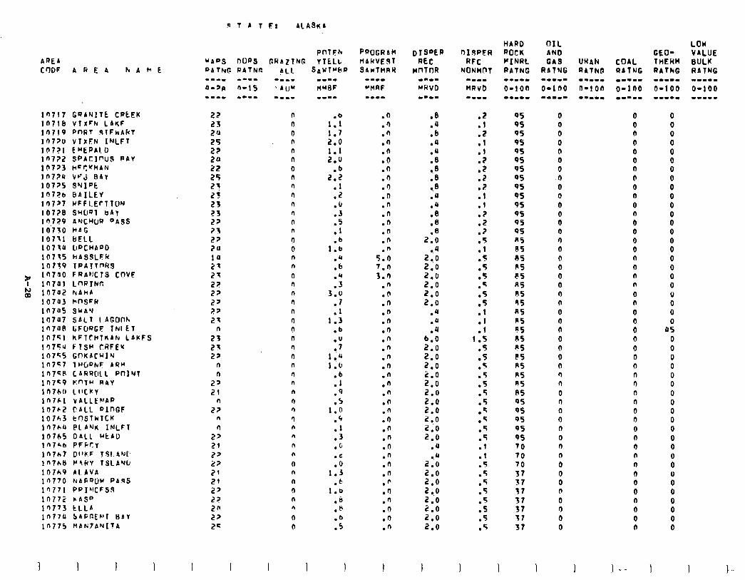
9TAl E: ALASKA
AREA
CrlDF AREA kArE
ln717 GQANITE CPtEK 107lb VTXFN LAnF 10719 PW?T 91FrrAFcT lOt?U VlhFN INLFT l(r7?1 E"EPAl.D in772 SPACIOUS PAV 10723 h=S'fHAN In724 Vc'j EAT 107>5 SWIPE ln7?b 8AILEV lr)7>7 MFFLErlTUN 107?8 SMUQT uAv ld7Z9 A’JJEWUR OASS 10‘750 HAG I0711 BELL 10710 Cl~CHA~D 10715 WASSLFR 10719 lPAIl~H9
y in7ao FRA@CTS cnvF I in741 LnftrNr.
g 10742 hAhA io7a3 hnSFR in745 SkA.d 10707 SALT lAGOf% in7an GFURGF INIET 107Sl kFlTHl~Alrr LAKFS lq754 FISH CRFEr 107S5 Gf!KACuIY ln7<7 7HGPkF ARM lIJ7'GP CARRClLL PnINT in7s9 K"TH RAY in760 LllCKV In761 vALLE~AP 10762 CALL PlnGF 10763 tn.SThTCK ln7h4 PLAMK INLFT 10745 DALL HCAD In/&b PFCCly lnlht Dl'fiF TSLANI. ln7h8 P4FIV TSLAYL, lO7h9 AI.AVA 10770 NARQIjW PARS ln771 PPI~ICFSS 10772 cASP lQ773 tLLA ln77U 5AFGtNT HIV 10775 UANfANlTA
I I I
PnfCh GRAZTNG VItLL
AL1 SAWTrbP
n 0 0 n n n
0 n n n n n
n n 0 0 n n 0 n n n n
n 0 n n n n
n n n
n n
9 n n
n n
0 n
n 0 n n
0 0
I 1
1:: 1.7 2.0 1.1 2.0
.6 2.2
.I
.z
.(I
:: .l .b
1.6 .a .b
:: 3.0
.I
.l 1.3
.b
.u l . 7
I ..Q
1.0 .6 .I .9 .S
1.0 .‘, .l .3 .c .d .o
1.3 .b
1.0 .a .b
.fJ
.Q
.n
.n
.n
.o
.n
.n
.O
.n
.n
.n
.n
.n
.n
5:: 7.0 3.0
.n
.d
.n
.n
.n
.I)
.n
.n
.n
.n
.n
.n
.n
.n
.n
.n
.n
.n
.O
.n
.n
.n
.n
.I)
.'I n .
.O
.n
.8
.u
.b
.Q
:i 9.8 .8 ..a .4
$9 .‘3 .8
2.0 9.4
2.0 2.0 2.0 2.0 2.0 2.0
.4
.a
.4 6.0 2.0 2.0 2.0
f-i 2:o 2.0 2.0 2 ..o 2.0 2.0
.U l .Q
2.0
x 2:o 2 .o
f-: 2:o
.Z
.l
::
:: .p .Z . .: .l
:5 .z
:: T . .
.5
.5
.q
.5
::
:1 1.5
.5
.5
.q
.5
.f
.5
.5
.5
.q
.5
.5
.I
.l
.5
.5
.5
.5
.
.Z
.5
.5
I I 1 1
OS 95 QS OS 95 QS 9s 95 QS 95 9s 95 95 95 n5 RS 85 RS PS AS AS 9s AS n5 ns RS es PS R5 R5 PS 85 95 95 95 QS 95 70 70 70 37 37 37 57 37 37 37
0 0 0 0 0 0 0 0 0 0 0 0 0 0 r) 0 n 0 0 0 0 n 0 0 n 0 0 0 n n n
0 n 0 0 n 0 a n 0 0 0 n 0 n 0 0
I
0 0 n 0 0 0 n b 0 0 0
: 0 0 0 n n n n
0 n 0 0 0 0 0 0 n n n n n 0 n 0 0 0 n 0 0 0 0 n n 0 0
l-- 1
0 0
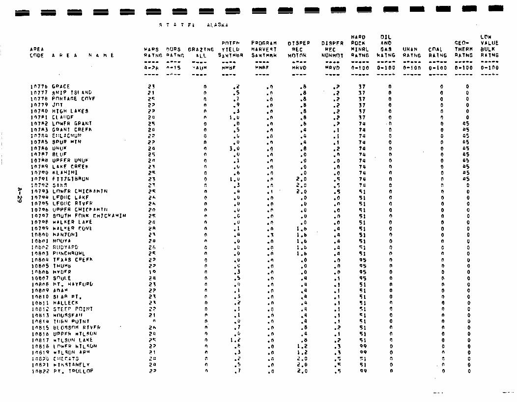
AREA c.mE AkEA aAnE
ln77b GPPCE 10777 SNIP TSI AND 10778 P~IKTAc.E CnVF lfl779 hlnr 107aO HIGH LAKES 1 ‘J7Pl Cl A’lDF In7n2 LnwFR GPANT 107n3 GQANT CREFh lfl709 EllLACWJN 107R5 SPUR MTN ln7R6 UrJU’f ln7P7 BLUF 107n8 UPFFR UNIJV lO7@9 LAUF CRFEt' 10790 nLPwxFl1 10791 FIT7G1BRO~ ltI792 SAkS 10793 LmFR LNIChbUTN 10704 LFDllC LAKF 10705 LFDllC RlvFk 10706 uPPFR CHICkbMTtJ 10707 SnUTH FOKw CnlCwbuIN 1a7oe WALKER LAKE 10709 )rAL"ER CLtVt lnenu kbN7UNl 10bnl NnQVA i nbn2 RUDVAPG inan3 Pl~r4CHSWL lOBtJ4 1FaAS CaEFk 1oees THUMb InbOb HvDFP 100F7 SW\. E 1 n8ne FT. HAYFuQb i nen9 AnAM toe10 91 AR PT. lob11 MALLECk 10812 STE.FP POINl 10813 hlllJ!!SFAfl
ln8tQ TIIF’J eU7NT
1nSlS &lOJS’Wl RtVFk ’
108lb UPPFR NILSUN
lflSl7 wTL5W LA’ft
In818 1 nrFR hlL*bN
I0619 rrtL9UN AR" 108Z.6 CHECATS 1nl3>1 )rThiqTANFLv i nb22 PT. TWLLfv
19 1 A T FI ALASKA
.z
.S
.7
.9
.J l.'J
:E: .'J .'J
3.0 .‘J .I .u .b
1.u .3 .Q .o .u
::
:Y .JJ .u .‘J .[I 0.0
:4 .5 . ‘J
:: .2 .1 .I
:‘J .O
1.2 P
:; .* .5 .7
PQOr,RAM liARVEsT SAWTUSK
.Q
.n
.il
.O
.n
.n
.n
.n
.n
.n n .
.n
.n
.o
.'I
.n
.n
.(
.n l ? .n .n .fl .n
3 . . .O l ? .n .n .O .n .n .n .a .n .n .O .n .n .n .n .n .O .o .n .O .o
.6
.B
.8
:.: .8 .b .‘J ;JJ 0.4 .8 .o .O .o .O
2.0 2.0 2.0
.o
.O
.o
.o ,O
1.6 1.6 1 ..b 1.b 1.6
0.0 .o .O .a .‘J *q *Q .Q .4 .4
:: .q .a
1.2 1.2 2.0 2,O 2.0
.?
.2
.?
.2
.2
.2
.?
:t .I .Z .fi .O .fi .O .5 .5 .5 .o .n .o .n .o .a .a .a .JJ .a .‘I .‘J .O .l .l
::
2 .l .I
? . .f .z .3
3 . .5 .q .5
HAQO ROCK MINRL QAT?JG --me. O-1 00 --w-m
37 37 37 37 37 37 7JJ 70 74 74 74 74 74 74 74 7u 74
5: 51 51 51 51
2 51 51 51 95 0s 9s 95 51 51 51 51 51 51 51 51 51 51 09 09
:t 99
0 0 0 0 0 0 n II 0 0 0 n 0 (I (I n 0 n 0 0 0 0 Q 0 3 0 0 n n (1 Q 0 n 0 0 n 0 0 0 n n r) 0 0 0 0 0
0 0 0 0 0 3 0 0 0 0 0 0 0 0 0 n n 0 0 0 0 0 0 0 0 n a n n 0 0 0 fl 0 0 0 n n n n 0 0 0 n
0 n 0
0 0 0 0 0 0
4s 05 4s 05 us OS 05 05 05 JJS
0 0 0 0 0 0 0 0 0 0 0 0 0 0 0 0
: 0 0 0 0 0 0 0 0 0 0
i 0
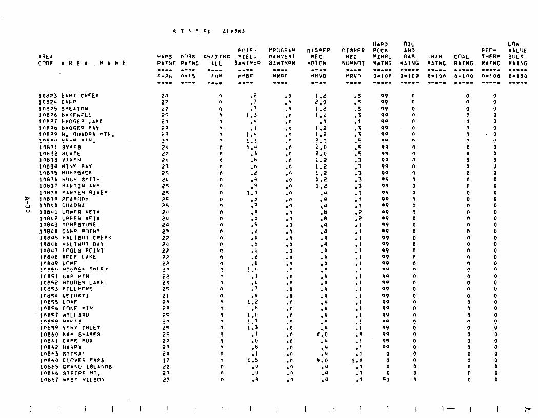
AREA C'lDF A Fi E A NABE
108?3 bARt CREEK 10820 CAk” 10675 SUEATnN lfi8?6 LiAKFhFLL lflHZ7 I?blicE@ LAKE ln@?b baOGEp RAY lneZ9 El. r)lJADPA MTN. in870 BFHW MIN. 108X1 SY*FS 10832 SLATE
,l 'I813 V7IFN 1063'J MTN:Y RAY 1007s HIWP~~ACK 108lb h!lGl’ SMtfH 10837 kAkfIN ARM 10838 MAKTEN RIVED 10819 PFARUDY 108'IO LlIiADWA 108Ul LrlrFR kEfA 138u2 UpPFR KFTA In@03 ?nC(RSTU’JE lr)6JlU CAhD DllTNt lfJBU5 liAl1Bll1 CRt Fr 108U6 MALldl~T BAY ln847 Ff'OLS PDIFJT lO8U8 RFEF CAKE ln8u9 DnrF IO850 HlGnEN 7NItt 10851 GbP MTN 10852 IilDnEN LAwt 10653 F TLL MnRF lnb5'J CFllJKTI In855 LOAF lneqb CnkE MTN in857 MILLARD ln@sB NbKAT lnEI59 VFkY 7NLET 10860 KAv SHAKES lS8hl CAPF: FlrX 10862 HARRY lOFJh3 SIT~A'J 1'?86'I CLOVER PAFS 10865 Gf'A'JG ISLAhDS ln8hb STRTPF Ml. 10807 kFST WILSW
I I I
9 1 A T Fs Al.AgKA
pnlFl* WADS ~)(JQS CRA7ltJC YIELli
n n
0 n n n n
n
(I n
n n n n n n
0 n
n n n I? n n t! 0 n
0 P n n
n n
0 n n n
n n n n n
0 n n
SAUTUtR
.2
.7
.7 1.3
.4
.I 1.0 1.1 1.u
.3
.b
.b
.i
.b
.9 1.4
.b
.9
.a
:E .Z .v
:f .Z .V
1.0 1
IlI .7
1:; .H
1 .o 1.7 1.3
.7
.'I
.u
.I 1.5
.fJ
.o
.b
PpUGRbM nbRVE3T SAdTmaR
.d
.n .n .n .n .n .‘) .n .n .n .n .n .n .D .n .n .n .n .o .n .n .n .O .n .n .n .n .n .n .n .o .n .n .n .n .n .O .a .n .n .n .n .n .n .n
1 ..2 2.0 1.2 1.2
.4
:=: 210 2.0 2 ..o 1.2 1 ..z 1.2 1.2 1.2
.4
.4 -. 4 .1 .8 -.4 .4 .JJ .4 l . 4
.‘J
-. 4
.JJ
c ‘J
.‘J
.Q
.4
.JJ
.4
.4
.4
.4
2-0
.4
0.4
.4
4.0
.4
l .JJ .‘J
3 . . .5 .3
::
.3
.3
.5 5 .-
.5
.3
.I
.3
.3
:: .I
:: .2
::
:1 .l .l .l
:1
:1 .I
:1
:: .I
:: .I .I
1.0
:1 .I
I .I
09 v9 99 99 99 99 99 99 99 99 99 99 99 09 99 09 99 99 VP 99 99 09 99 99 99 09 99 99 99 99 99 99 99 99 99 99 99 99 99 OV
0 0 0 0
Cl
0 n 0 n n
r) 0 0 0 0 0 n 0 n
0 0 0 E 0 0 n 0 0 0 0 0 0 0 0 0 0 0 0 0 0 0 0 0 0 0 0 0 0 0 0
1 I
0 n
0 n
0 n
n 0 0 n n n
0 0 0 0 a 0 0 n n
n n 0 n n 0 0 0 0 0 0 0 0 0 n 0 0 0
0 0 Q 0 0 0
I- 1
0 0 0 0 0
. 8 0 0 0 0 0 0 0 0 0 0 0 0 0 0 v 0 0 0 0 0 0 0 0 0 0 0 0 0 0 V 0 0 0 0 0 0 0 0
I
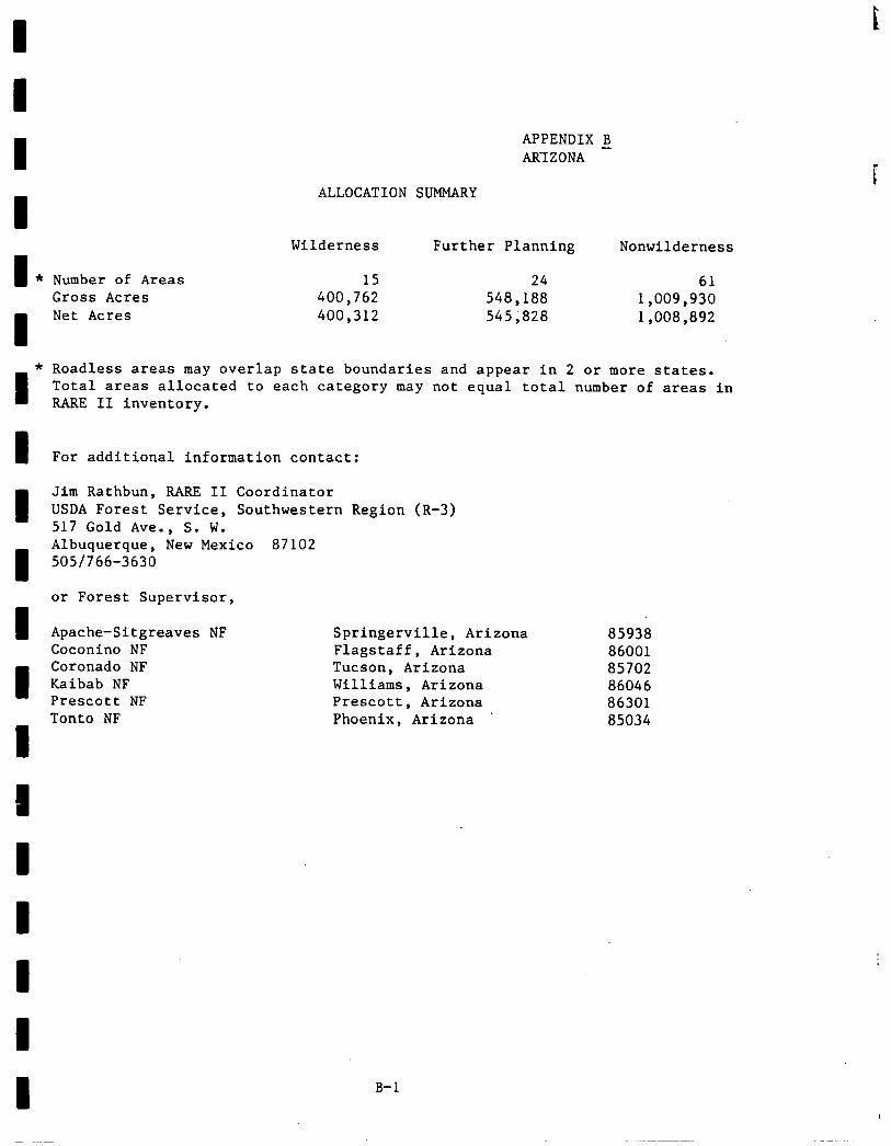
I
I *
* I
I 3
APPENDIX B ARIZONA -
ALLOCATION SUMMARY
Number of Areas Gross Acres Net Acres
Wilderness Further Planning Nonwilderness
15 24 61 400,762 548,188 1,009,930 400,312 545;828 1,008,892
Roadless areas may overlap state boundaries and appear in 2 or more states. Total areas allocated to each category may not equal total number of areas in RARE 11 inventory.
For additional information contact:
Jim Rathbun, RARE II Coordinator USDA Forest Service, Southwestern Region (R-3) 517 Gold Ave., S. W. Albuquerque, New Mexico 87102 5051766-3630
or Forest Supervisor,
Apache-Sitgreaves NF Springerville, Arizona Coconino NF Flagstaff, Arizona Coronado NF Tucson, Arizona Kaibab NF Williams, Arizona Prescott NF Prescott, Arizona Tonto NF Phoenix, Arizona
85938 86001 85702 86046 86301 85034
B-l
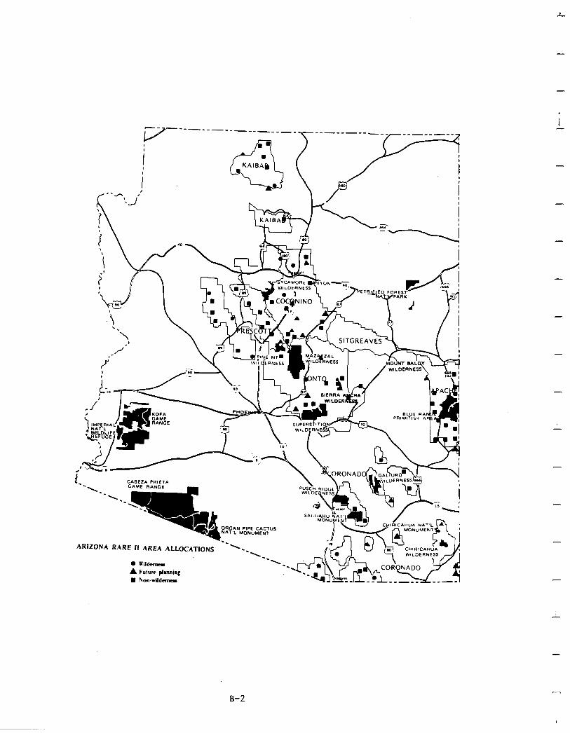
L
. i -
-
-
ARIZONA RARE II AREA ALLOCATIONS
-
i
-
n B-2
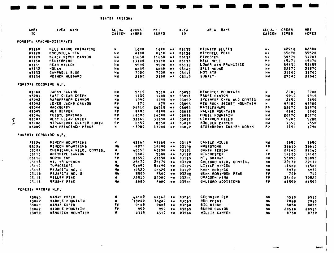
AREA AREA NAM! ALLO- GROSS hFf AREA ID CATION ACRES ACRES ID
ARFA NAHE ALLO- CATION
FOREST, APACHE-SITGRAVES
PSlb9 RLUE RANGE PRIMAlIVE Y 1090 1090 44 031Sf PAINTED BLUrf s 03128 FSCUDILLA RTN MCI 4100 a100 l * 03lJb MITCHELL PEAK 03129 SLACK RIVER CANTON NW 11630 11430 44 03131 PIPESTEM 03130 CENTERFIRE NW 13100 13100 44 03138 HELL ROLE 03131 REAR WALLOK NW 9590 9590 l * 03139 LOWER SAN FRANCISCO 03132 NOLAN NW 6640 bbo0 l * 0314p SALT HOUSE 03133 CAMPOELL BLUt NH 7020 TO20 l * 03lirl HOT ATR 03134 WJTHER HUBRARD MU 2100 2100 44 03142 SUNIET 1
NW NW
F:, NH NY NW NW
FORtJft COCONINO N.F.
03040 JACKI CANYON NW 5010 5010 44 ~SOSO KENbRICK MOUNTAIN 03041 ‘EAST CLEAR CREEK NW 1130 1400 44 OSOS! PADRE CANTON 03042 RARStRSH0P CANYON NW 1290 1290 +* 03052 SYCAWRE CNVN WLD CONTIG 03043 LOWER JACKS CANTON FP 870 8?0 44 03053 RED ROCK SECRET HOUNT4IN' 03oau HACK6fRRT NW 2u910 20910 44 .o 3osa RATTLFINAKE 03045 YET REAVER FP 9n90 OS90 44 Of055 WALKER MOUNTAIN 03006 F09STL SPRINGS CP 14090 la090 44 03OSb HOUSE MOUNTAIN
Y 03047 WEST CLEAR CREFK FP 33660 31850 44 03057 CIHARRON HILLS w ojoaa 3TRAU6FRRT CRATER 9UUTW FP 8050 8050 l * 0305n BOULDER CANTON
03oa9 BAN FRANCISCn PEAK3 w 17980 lT900 44 03059 STRAWBERRY CRATER NORTH
W NW NH
:P NH NY NW
:I:
FORESTI CORONADO N.F.
A3126 RINCON MOUNTAIMs w 03360 U3SbO t* 0311y CANELO HILL3 NW 03126 AIMCON HtlUNfA~NS NW 19570 19490 44 0312Q WHETSTONE FP 03109 CHIRTCAHUA KILO. CONTIG. w 60150 bOlS0 l * 03121 SANTA TERESA w 03110 UHTTPIRE CANVON PP 5080 9080 l * 03122 wINCHESTER FP 03112 NORTH Ebb FP 23554 235so 44 0312% HT. GRAHAM NY OtllJ HT. WRTGH?3ON w ?5170 25170 ** 0312q GALIURO WILD, CONTIG. NW 03114 TURACACORI NW 51490 SlUQO 44 03125 LITTLF RIRCON NW 03115 PAJARITA NO, 1 NW 10320 10320 l * 03121 KANE SPRINGS NY 03116 PAJARITA NO. 2 NH 5!!00 5500 l * 032og BUNK RoRINSON PEAK FP 03117 MILLER PEAK w 22910 222RO l * 0320! DRAGOnN nTN3 FP 03118 8RUSMY PEAK NY SoSO OUIO 44 03901 GALXURO ADDITIONS FP
FOREST, KATSAB N.F.
A3060 KANAR CREEK ASOb IADDLE MflUNTAIN Blob0 KANAA CREEK 83062 SADDLE MOUNTAIN 03oso KENDRICK MOUNTAIN
w w CP CP w
b4lb2 64162 l * 03061 COCtlNINO RIM NW 8510 ‘30240
8510 xi200 44 03063 RED POINT NW 7960 7960
9lb8 9ooe 44 03oba BIG RIDGE NW 8850 8850 950 950 44 OSO6S BURRO CANVON NW 20510 20910
as10 a310 44 03066 WILL13 CANYON NW 0730 0730
CR099 ACRE3
NET ACRE3
u2910 a2Sea 35670 35520 30370 34203 lSU70 iv70 59350 59155 22270 22270 31700 31700 29000 29040
2200 2200 9910 9910 2650 2650
U7U80 47aeo 32870 32S70
8800 8840 20770 20770
5280 5280 a550 usso 1790 1790
Sb50
;;;:8 la100 sso90 22130 11560
6970 740
53100 61590
8650 36610 27160 lUlO0 55090 22130 11560
6970 740
32020 61590
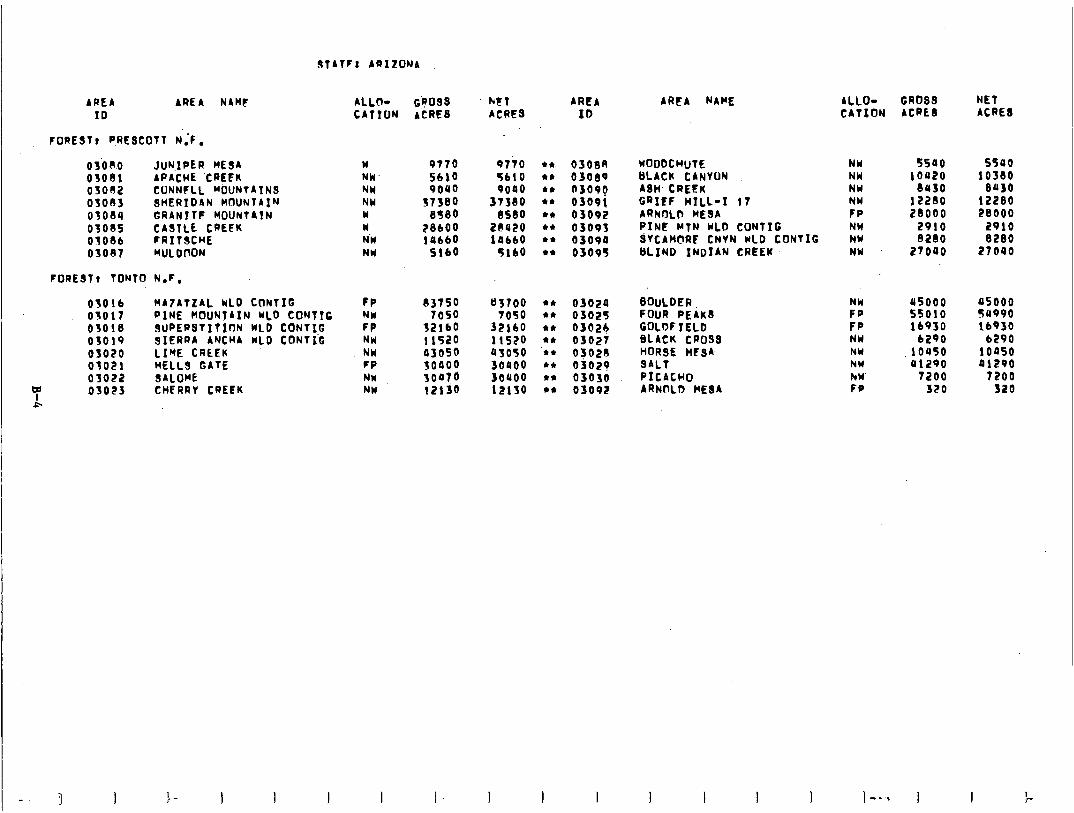
3TATF: AQIZONA
AREA AREA NAME ALLo- G$039 htf AREA ID CATION ACRES ACRES ID
FOREST1 P,RESCOTT N’:F.
osoao JuN.IPER MESA w 03081 APACHE ‘CREEK NW 05032 CONNFLL M&JNTAIN3 NW 03033 3HERID4N MfXJNTAIN NY 03034 GRANITC MOUNTAIN w 0303s CASTLE CREEK w OSO8b FRITSCHE N’W 03037 MULDfJON NW
9770 5610 9040
S7S80 8580
:%I SlbO
97io 4 4. osot3n WOODCHUTE NW 5500 5590 5610 44 03089 BLACK CANYON NW 10u20 10380 9000 44 asoog AWCREtK NW euso 8430
31380 ** 03091 GRIFF HILL-I 17 NW 122ao 12280 BSdO 44 03092 ARNflLb ME9A FP 28000 28000
2@420 44 03093 PINE MTN WLD CONTIG NW 2910 2910 10660 44 03090 QTCAMCIRC CNVN WLD CONTIG NW 8280 8280
3160 44 03095 BLIND INDIAN CREEK. NW 27040 27040
FOREST1 TONTO N.F.
03016 MATATLAL WLD CONTIG 03017 PINE MOUNTAIN KLD COlJTlC 03018 9UPERSTITInN WLD CONTIC 03019 SIERRA ANCHA WLD CONTiG 03020 LIME CREEK 03021 HELL3 GATE OS022 SALOwE
7 03023 CHERRT CREEK &
FP 83750 NW 7050 FP NW NW FP NW NW
32iio 1 lS20 03050
:;:;i 12ljO
83700 TO50
32ibO 11520 93050 30900 3ouoo 12lSO
44 03020 BOULDER NW as000 05000 44 03025 FOUR PEAK3 FP 55010 50990 44 03026 GOLDF IELD FP lb930 lb930 44 03027 BLACK CROSS NW 6290 6290 ‘44 o>ozo HORSE HCSA NW .10450 10050 44 03029 SALT NW a1290 41290 44 03030 PICACHO hW 7200 7200 44 03092 ARNCILD MESA FP 320 320
ARFA NAME ALLO- GROSS NET CATION ACRES ACRE8
) --., ) I I >-
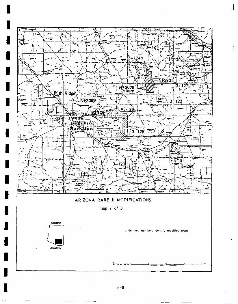
I
ARIZONA RARE II MODIFICATIONS
map 1 of; 3
ARIZONA
Q
underlined numbers identify modified arem
i
B-5
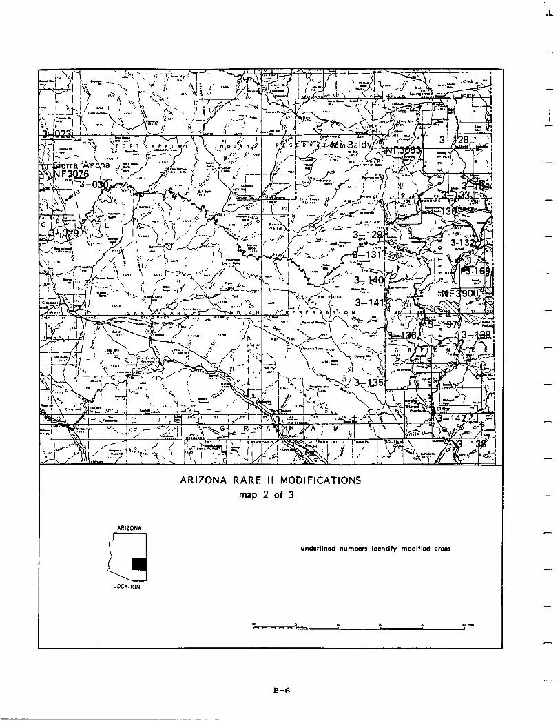
ARIZONA RARE I I MODIFICATIONS
map 2 of 3
ARIZONA
a
underlined numbers identify modified areas
LOCATION
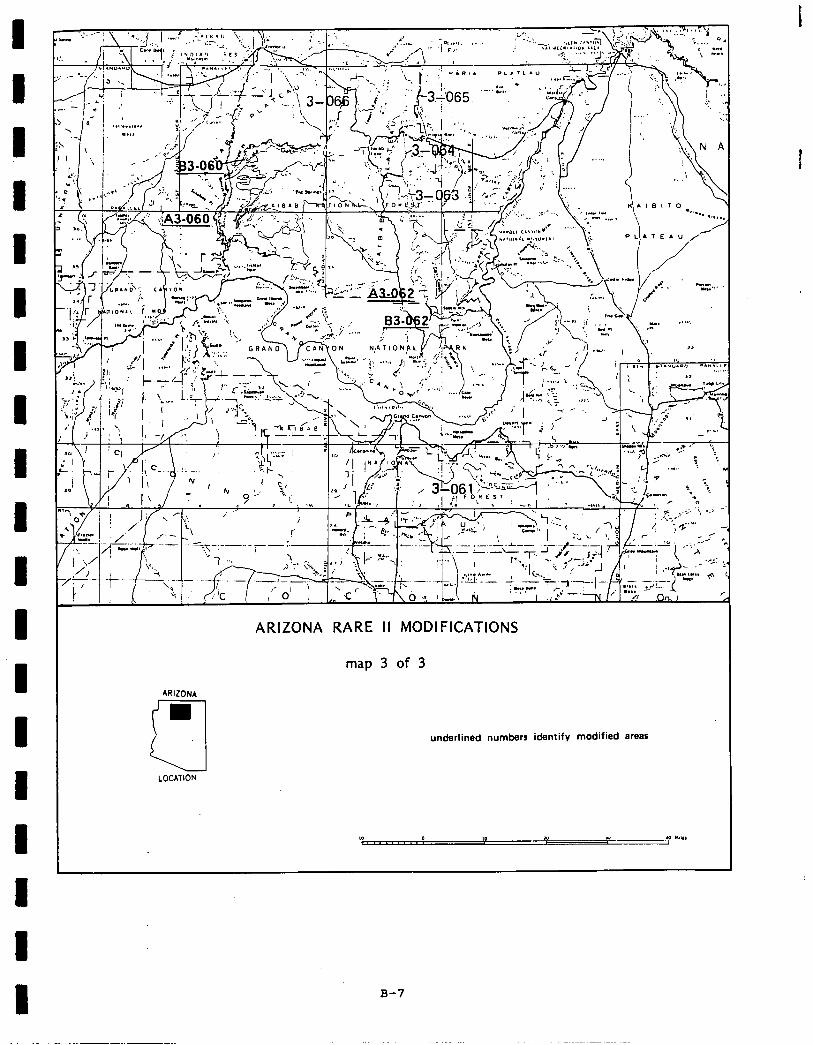
I 1 I I 1 I
I 1 I ARIZONA
cl LOCATION
ARIZONA RARE II MODIFICATIONS
map 3 of 3
underlined numbers identify modified areas
B-7
-
-
Social. The most significant social effects resulting from implementation of the proposed action are on symbolic meaning and recreation use. All areas proposed for wilderness have symbolic value to local and regional populations. These valueswere frequentlymentioned bypeople supportingwilderness allocation and they will be enhanced by classification of the 13 areas recommended for wilderness. In addition, the proposed action will provide for protection of cultural, archaeological, and historical sites contained within these areas, especially Juniper Mesa., .Bed Rock-Secret Mountain, and San Francisco Peaks.
Wilderness designation of San Francisco Peaks will also protect religious and cultural values of the Hopi IndianTribe which feels that this area is important to their cultural heritage.
Motorized recreation activities will be displaced by wilderness designation of BedPock-Secret Mountain, SanFranciscoPeaks,Kendrick Mountain,Kanab Creek, and Saddle Mountain, all in northern Arizona. But wilderness designation will provide for wilderness recreation experiences which appeared to be the most dominatepreferenceexpressedbythe public. The proposedaction shouldalleviate currentrecreationuseconflictsbyprovidingforbothwildernessandnonwilderness kinds ofrecreationexperiencesonvariousNationalForestroadlessareasthrough- out the State.
Economic. A summary of economic impacts for the proposed action is presented in the following table. These impacts are on the nation as a whole and may or may notoccurin Arizona. Allstate impacts are allocated fromthe national totals and arebasedupon state resource changes. They are only Arizona's contribution to the national impact. For details see Appendix W.
The table shows positive impacts in every sector for potential immediate and potential long-term effects. This is because the impacts are a net figure. Areas allocated to wilderness will have a decrease in nonwilderness uses and as a result generally show decrease in employment. The areas allocated to nonwildernesswillgenerally show an increase in outputs andemploymentimpacts. When the impacts are positive as they are in Arizona the nonwilderness output increase is greater than the wilderness decrease.
-
-
-
-
-
B-8
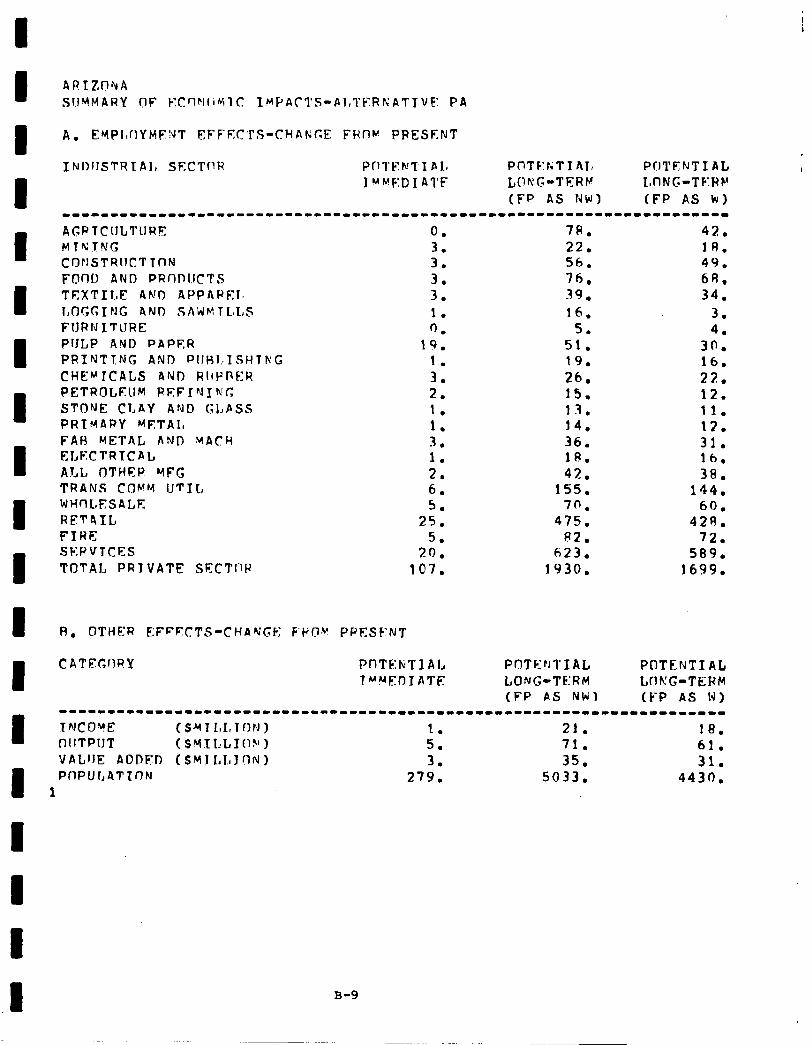
I I I I I I I I I I I I I I I I I I .I
A. EMPIIUYMF!\~T EFFECTS-CHANGE FROM PRESf;.NT
INI~IISTRIAI, SECTnR Pfll’FNT I bL# PCITF:tiTI AI, POTENT1 AL I MMF:D 1 ATF LONG-TERV L,flMC-TF:RF”
(FP AS NW) (FP AS kr) --------------------------------------------------------------------- AGRlC~lLTl~RE 0. 78. 42. MTNJNG 3. 22. 1R. CDNSTRIlCTTnN 3. 56. 49. FOflO AND PRr)l)I.iCTS 3, 76. 6R. TEXTILE AND APPAPFIr 3. 39. 34. I,OGGING AND SALJMTL.L,S 1. 16. 3. FlJRNITtJRE 0. 5. 4. PlJLP AND PAPER 19. 51. 30. PRINTTNG ANI) PIIHI,ZSHTr\‘G 1. 19. 16. CHE”‘ICALS AND RIIPPER 3. 26. 22. PETROLEUM REFIYIWG 2. 15. 12. STONE CLAY AND GLPSS 1. 13. 11. PRIMARY METAL 1. 14. 12. FAH METAL AND MACH 3 - . 36. 31. ELECTRTCAL 1. 18. lb. ALL OTHER WFG 2. 42. 38. TRANS COMW IITIL, 6. 15s. 144. WHflLESALE 5. 70. 60. RET4IL 25. 47s. 429. FIRE 5. 82. 72. SKPVTCES 20. 623. 589. TOTAL PRY VAT!? SECTI-1P 107. 1930. 1699.
C ATEGrWY PnTE:h;TI AI, Pr!TFhI’IAL POTENT1 AL TMb4EDIATE LONG-TERM WKG-TERM
(FP AS Nlri) (FP AS W) ---------1---1-------------------------------------------------------
TNCO!E (SYT LInTfIN) 1. 21. 18. OllTPIJT ($YXI,LI(1!‘1 5. 71. 61. VALIJE ADDFD ~S~ILLJON) 3. 35. 31. PflPUt,ATTfIN 279. 5033. 4430.
1
B-9
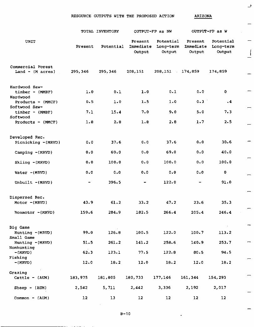
UNIT
RESOURCE OUTPUTS WITH THE PROPOSED ACTION ARIZONA
TOTAL INVENTORY OUTPUT-FP as NW OUTPUT-FP as W
4
-
Present Potential Present Potential - Present Potential Immediate Long-term Immediate Long-term
Output Output Output Output I -
Commercial Forest Land - (M acres) 295,346 295,346 208,151 208,151 174,859 174,859 -
Hardwood Saw- timber - (MMBF)
Hardwood Products - (MMCF)
Softwood Saw- timber - (MMBF)
Softwood Products - (MMCF)
Developed Rec. Picnicking -(MRVD)
Camping -(MRVD)
Skiing -(MRVD) 0.0 100.0 0.0 100.0 0.0
Water -(MRVD) 0.0 0.0 0.0 0.0 0.0
Unbuilt -(MRVD) 396.5 122.0
Dispersed Rec. Motor -(MRVD)
Nonmotor -(MRVD) 159.6 284.9 182.5 266.4 205.4
Big Game Hunting -(MRVD)
Small Game Hunting -(MR~D)
Nonhunting -(MRVD)
Fishing -(MRVD)
Grazing Cattle - (AUM)
Sheep - (AUM)
Common - (AUM)
1.0 0.1
0.5 1.0
7.1 15.4
1.8 2.8
0.0 37.6
0.0 69.0
43.9 61.2
99.0 126.8
51.5 261.2
62.3 123.1
12.0 18.2
183,975 181,805
2,542 5,711
12 13
1.0
1.5
7.0
1.8
0.0
0.0
33.2
100.5
141.2
77.5
12.0
180,733
2,442
12
0.1
1.0
9.0
2.8
37.6
69.0
47.2 23.6
122.0
258.6
122.8 80.5
18.2
177,146 161,344
3,336 2,192
12 12
0
.4
7.3
2.5
30.6
40.0
100.0
0
91.0
35.3
246.4
113.2
253.7
18.2
-
-
-
-
-
-
-
B-10
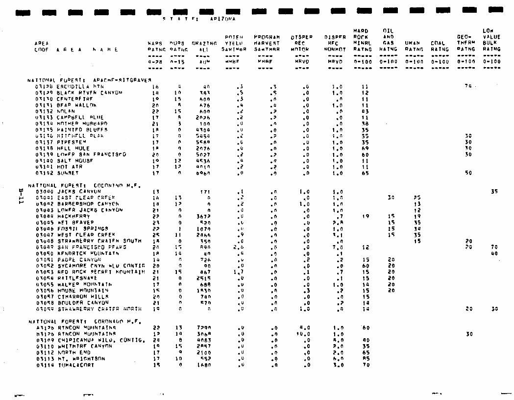
03l~b E9C'lDlLLA kTN 0;1>9 lJLA?K WTVFFC CANYON OtllO CFNTEQFTRF 03111 BFAP WALLgh 03132 hnLAN 03133 CAt'PtiFLL aLIlL 03130 hnlHEa HUPt!4Pr) 07175 PAINTFD PLUFF.? ~31x6 nllrt+FLL DtAk 03137 PtPFS'E" 03138 HFLL WILE 01139 LnrrFP SAN FaANCTSfG 01100 SALT HOUSF u;lUl HOT AtR 03192 SUr*9Et
NATTONAL FURtST1 C~CflNl'Un F!.F.
7 03040 JACKS CANVUN P OtOQl EAST fLEAa ClRFEw P ~3042 SAR’3E~SHOP tA~‘YClr
OtOa3 Lf7rFR J4CkS C4hVON 07OOU HACKtIFR’?y 03005 rF1 BFAVEP 03046 FCt39II SPRING9 03047 rF9T rLFAP CRFEY 031~48 STRAwRt~RV CWATFM SnuTn 03049 SAN FDANClStO PFAUS 03050 kFWDRlCK W&kTAfh O-051 PADPt CbNVW 07052 SvCAMnRE rNVh hLU CfINTIr. ntOF3 RFD RnCK PEfRFl k'.f?LINTAlr! 07OSU RATTLFSNA'fE 03OSS WALKED MOIIhlATN 0305b HnuSk M~-Ju~~AI~ 03057 CIn4RRON H1LL.s 03058 BNILDFR C4NvON 03059 STh4kREQWV CRATFR WRTH
NAlTUNbl FWE3Tt COHclN4ld? N.P. Allab RTNCON ~UlJtdTAIkS ki3l>b RtFtCON "U'JhTAThfl OTln9 CHlalCAHUfi WILD. CONTIG. 03110 k~1ThlRF CArVnN 03112 hrlRTH END 03113 ht. walC.HTSnN OtllU TIJMALACnRl
lb ia 10 2n 22 17 21 IA 17 17
:: 10 I7 17
13 16 ia 21 22 21 2? 25 14 20 IR ia 20 21 21 17 I< 23 21 10
22 1’ 24 10 17 17 15
,
nuos CRAflNT:
171 n n n
307? c20
1073 2aho
350 n9n
an '26
90 Ob7
2515
bEI in30
7an c7n
n
729n 3nba une3 2w7 2100
KS? icen
Pe)OCWA?! dARVE.sT SAWTMQR
.3 s
l :
.n
.a
.?
.>
.n
.o
.?
.n
.n
.?
.a
.2
.3
.n
.o
.b
.n
.n .n .o .fl
:;: .3 .n .n .n .O .o .n .n .n .n
.O
.I)
.O
.n
.O
.o
.a
.o
.O
.o 0.0 .O .O .O .O .O .o .O .O .O .o .O
1.0 .o
1.0 .O .o .u .o 0.0 .o .o l .0 .Z TO .l .o .o .3 .O
1:x
4.0 CU.0
.o
.o *O .O .o
I.0 11 1.0 12
.fi 11 1.0 11
.b 43
.o 11
.n 38 1.0 15 1 .n 35 I.0 3s 1.0 69 1.0 b0 1.0 11 1.0 11 1.0 65
:*I: 1:n 1.n
.7 ?.R I.0 I.1
.O 7.0
.I .2
:I" .t
1.6 .Z .O .? .n
1.0 1.0 11.0 z.n 2.0 h.n 3.0
19
12
IS b0 15 15 14 1s 1s 10 14
‘b0
iJ 65 RS 70
SO
lr; 15 15 15
?S 13 12 19 3s 34 35 15
30 30 10 SO
so
35
5x 70 40
20 20 20 20 20 20
20 30
30
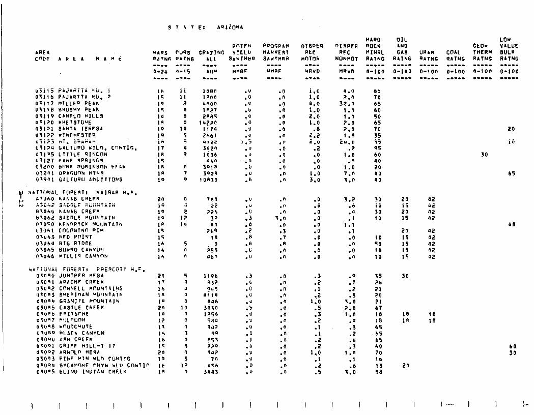
bRE4 C"DE AfitA NAMti
03115 PaJARlTA '!LJ. 1 Oil16 PAJARTTA MI, 2 Ot117 MILlED PEA)\ 03118 MWJSHV PEAh 01119 CANFLO HILL3 trt120 WH~TQTCJ'Jt: 03121 SA~JTA 1FFFSA Ut,?? w?IuuthFSlE~ 011?3 BT. GPAWAM Otl>U GALTIJPU KILO. C'-IlrrtIG. Otly5 LTTTLF QINCnN (rtl27 FANF 9PRI’JGLs Old00 MllNY PURIuSrltv PFhk irf2ni ~arr,unk b17k.q (It901 GALTUQU PMJ~TICWS
tf NATTUNAL FOQEqTt hAIRAA M.F,
K At,OhO ~ANAEI CPEFh ASOh SADDLF MUttNTAfN btOk,(1 hANAb CQLFh bt062 SIDDLF Wltt.TATN OtOcO KFNnRTCK '%UNTAlN (r3061 COCf'NlNn PIr 01lJb3 PFD PclI~l 03u)bU BTG RTDGE OtOhS BUHRO CAkVLlbl Of066 WTLLIQ CA'JYI'N
NATTO’JAC F0QE3Tt FQ,E3Cl?lT K:,F, OtOSO JllNTPFR HFSA OtOQ, APACHF CHFEK OS092 CnNYElL Mf'UNT41NS I)tOPJ SuEPInAN UUIINTATN UtOqU CQA’JITE WUN~AJN 03onS CbsTLF CHEEK Olu*b FDITSrHE oton7 MlJLntiw O;c)98 knuocwrt ntUQ9 bLAth CdNyClN O;OOU Aqti C’JtFh OtOQl GQIFF WTLL-1 17 OtOO2 Al?NnLP MEFib 03093 PINF b’TN uLn rWJtTG
9 T A T E: AQIZONA
:s IO 15 ia I* 1Q IQ In 17 1R 15 In 1n 10
20 10 10 10 1* 15 15 16 lb lh
20 17 lh 1n 1" 20 10 12 1t 16 lh 15 20 10
IJ~OOU SVCAWlMF CNYN k\O tt)NTIC 16 otO"5 bLIND 1YUlAN CRFLu 1p
11 11
9 0 0 0
1u 5 8 0 9
n 7 0
0 u 2
I? 10
5 n n
5 u U ‘J
0 10
n n r) 3 n s
: 12
r)
PClTFN GRAlING yIELU
780 22
jzh S? UO
?hQ
10 0
253 060
lf96 n3? QU5
uiio 0116
3n3n 1256
5flu 14?
99 p5t 320 ill?
70 U5h
3uu3
I I
.I)
.n
.?
.n
.n
.n
.O
.n
.Q
.o
.I)
.n
.I)
.O
.n
2: (0
l,O 2.0 1.0
.8 2.2 2.0
.2
..O
.O
1:: 3.0
.o *O .o .o .O .O .O .o .o .O
2
:: 1.0
a.5 .3 .2 .I
::
1:.: .l
:5
I
a.0 Z.0
37.0 1.0
::i 2.0 1.8
2P.O .2
1.0 .n
1.0 7.n 3.0
.n
.n
.r) 3.0
.fl
.3
.7
.n
.n
.n
3.2 .6
:; I .I
.I
.o
.n
.o
.n
.n
.n
.n
.n
.fi
.O
.o
.n
.n
.n
.n
.O
.n
.O
.n
.n
.O
.7
.Z
.s '1.0 2.0 1 .n
.a
.3
.2
:i 1 .n
.I .6
7.0
I I I
HARO OIL ROCK rtjo f'INRL GA3 RATNG RATNG w-.-m I.-.- O-100 0-100 m-w.- Wm...
65 70 65 60 SO 65 70 55 35 Q5 60 40 20 a0 00
30 10 30 10
10 50 10 10
2n 15 20 15
20 1s 15 15 15
35 26 21 ?O ?l 67 18 18 65
.65 65 60 70 lb 13 58
30
I
LOW GtO- VALUE
WAN COAL THERM BULK QATNG QATNG RATNG RITNG --a-- w.--- ..wwm I.--w o-1 on O-100 O-100 O-100 --.I-
a2 42 02 Q2
02 42 42 a2 42
20
10
30
65
00
18 18
60 30
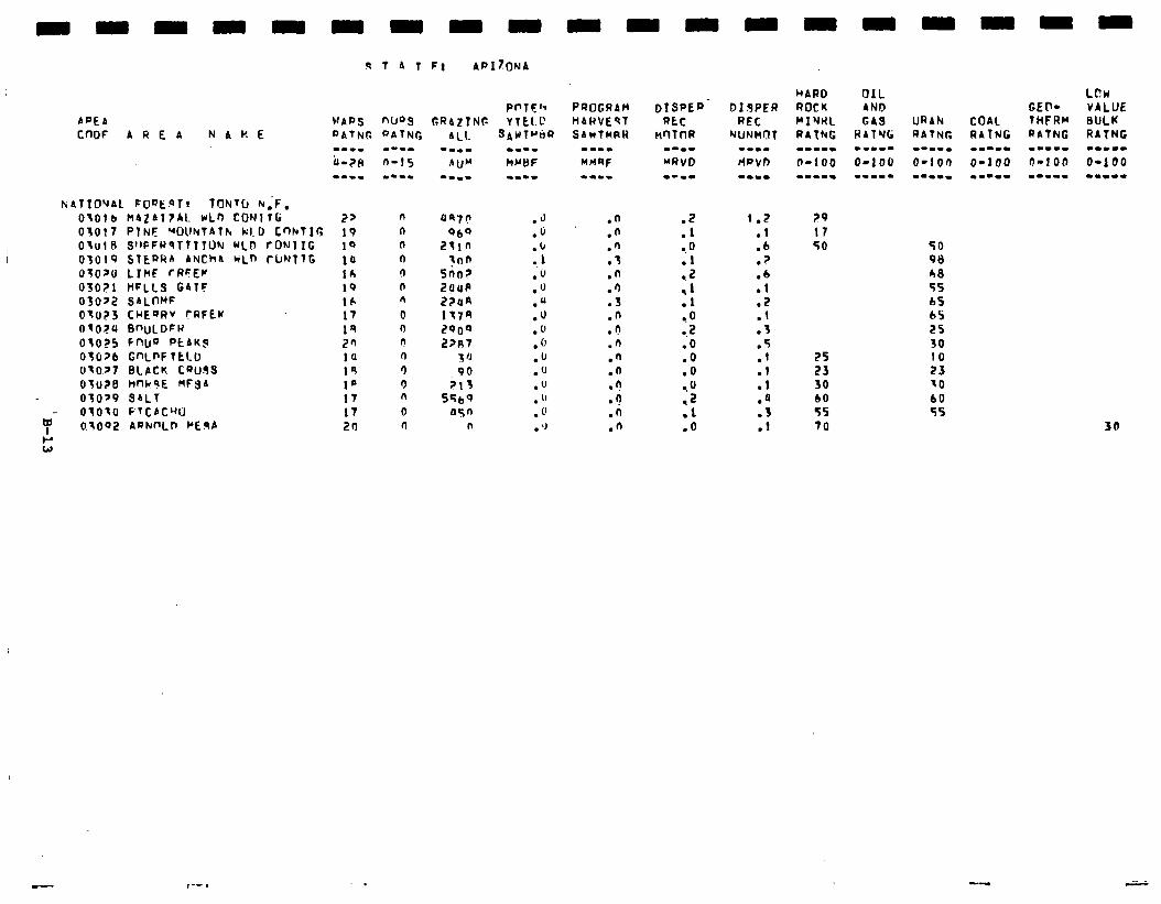
APEA
9 T A T F: APIZONA
PPTF’? PROGRAM WAD.5 nws GRA7TNC YTkLL‘ HdRVEQT
3AUTh%t? SAUTMRH
lf tf
&&TICl~AL FOQE.QTr TONtLi N;F, OtOlb MAZA17AL WLn CONITG 05017 PTNE WUNTATh k1.D CnluTIr, Otul I3 S’~PFWSTTTlUY WLD fONl IG 03019 SIEPRA bhlch4 c;Ln ~UNTTG OJOYU LTkF rRFEr OSOe?l HFLLS GATC 03022 SALt-‘F Oto?J CHEQRV rRFEK OtO?U BWJLDFH 03025 FWQ PtAKJ 0lO?t1 GnLPF TtLD O-O.,7 BCPCK CQUJS Ott128 hW?E MFSA OlOp9 SALT OlOtO FTCACW 0.1002 AI)NI'Lr, PElsb
2> 19 19 10 lh I9 16 17 1Q 2s ia 19 1’ 17 17 21)
n uq7n n 060 n 2tln n !nn r) 5nn3 @ 2OUP .l 22lln 0 1t7n n 2000 n Z?R7 n 5 ‘J 0 90 0 213 n 5569 0 asn n n
.J
.u
.b 1
;(I .U .(1 .u . 1’ .o .IJ .” .u . ” . 0 . ‘J
.fi
.n
.n
.f
.n
.‘1
.3
.n
.?
.n
.fi
.n
.?
.?
.n
.n
.Z
.l
.O
.I
;;
=.O 0.2 .O .O .o l . 0
,2 .I l O
1.2 .I .b
? .
:‘; .2 .l .3 .5 .l .I .l .a .3 .I
25 23 30 60 55 70
TO 98 A0 55 bS 65 2s 30 10 23 to
30
- ,-- I

-
-
-
-
-
-
-
-
-
-
-
-
-
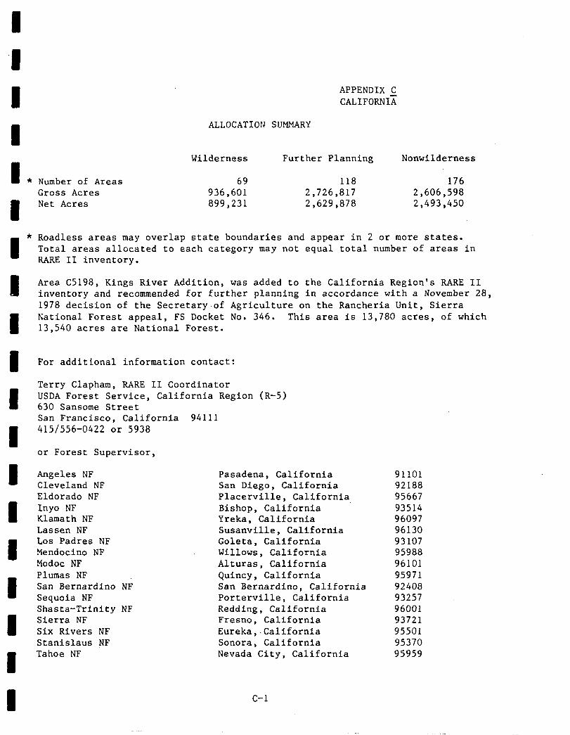
I I I I I I I I I I 1 I 1 I I
APPENDIX C CALIFORNIA
ALLOCATION SUMMARY
Wilderness Further Planning Nonwilderness
Number of Areas 69 118 176 Gross Acres 936,601 2,726,817 2,606,598 Net Acres 899,231 2,629,878 2,493,450
Roadless areas may overlap state boundaries and appear in 2 or more states. Total areas allocated to each category may not equal total number of areas in RARE II inventory.
Area C5198, Kings River Addition, was added to the California Region's RARE II inventory and recommended for further planning in accordance with a November 28, 1978 decision of the Secretary-of Agriculture on the Rancheria Unit, Sierra National Forest appeal, FS Docket No. 346. This area is 13,780 acres, of which 13,540 acres are National Forest.
For additional information contact:
Terry Clapham, RARE II Coordinator USDA Forest Service, California Region (R-5) 630 Sansome Street San Francisco, California 94111 415/556-0422 or 5938
or Forest Supervisor,
Angeles NF Cleveland NF Eldorado NF Inyo NF Klamath NF Lassen NF Los Padres NF Mendocino NF Modoc NF Plumas NF San Bernardino NP Sequoia NF Shasta-Trinity NF Sierra NF Six Rivers NF Stanislaus NF Tahoe NF
Pasadena, California 91101 San Diego, California 92188 Placerville, California 95667 Bishop, California 93514 Yreka, California 96097 Susanville, California 96130 Goleta, California 93107 Willows, California 95988 Alturas, California 96101 Quincy, California 95971 San Bernardino, California 92408 Porterville, California 93257 Redding, California 96001 Fresno, California 93721 Eureka,-California 95501 Sonora, California 95370 Nevada City, California 95959
C-l
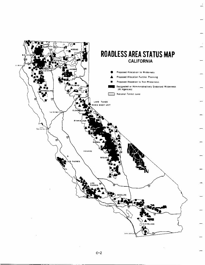
-
-
7 ROADLESS AREA STATUS MAP
CALIFORNIA
l Proposed AllocatIon to Wilderness
A Proposed AllocatIon Further Planning
Proposed AllocatIon to NomWilderness
NatIonal Forest Land
-
-
-
-
‘\ - -
c-2
-
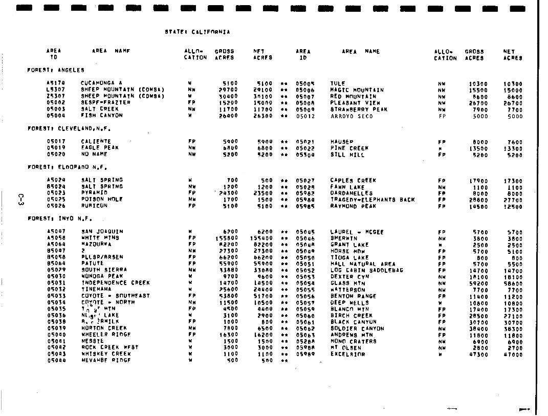
STATC: CALTFnRNIA
AREA AREA NAHF ALL- GROSS WT AREA TD CATION ACRE8 ACRIFS ID
FORESTI ANGELES
A517U CUCAMONCA A L5307 SHEEP MDUNTATN (COWSA) 25367 SHEEP POUNTATN (CDYSA) 05002 SESPF-FRAZIER 05003 SALT CREEK 05004 FISH CANYON
FOREST, CLEVELAR0rN.F.
W NW w FP NW w
5100 5100 29700 28100 30000 3n100 15200 15000 11700 11700 26000 26300
05005 TULE NW 10300 10300 05006 MAGIC nOuNlAIN NW 1ssoo 15000 OS007 RED MUNTAIN NW bbO0 8600 osooe PLEASANT VIEW NW 26700 26700 OS009 STRAnBERRY PEbK NW 7900 7700 05012 ARROYO SEC0 FP 5000 5000
05017 CALIEIJTE FP 5000 5900 l * as021 HAUSEP FP 9000 7600 OTOlQ FAGLE PEAK NW bRU0 6800 l * OS022 PINE CREEK W 13500 13300 OS020 NO NAME NW 5200 5200 4* OS300 SILL HILL FP 5200 5200
FORESTT ELDORADO N.F.
A5024 SALT SPRING 05024 SALT SPRING
3 05023 PYRAMID 05025 POISON HOLE
W 05026 RURICUN
FORESTI INYO N.F.
AS007 A5058 A5ObU 05007 85058 85064 05O?V 05030 05031 05052 05033 05034 0503s 05056 0503e 05039 05000 05041 05002 05043 05009
SAN JOAQUZN UHITF MTNS “AZOURKA
:LLSR/RRSEN PATUtt SOUTH SIERRA WONOGA PEAK TNDEPLNDENCE CREEK TINEMAHA COYOTE - 8r)UTHFASf C?‘l?tE - NORTH
WHEELER RIDGE NESSTE ROCK CREEK KFST wHTSKEY CREEK NEVARsF RIDGF
Y 700 so0 NW 1200 1200 FP ’ 28300 23500 NU 1700 1500 FP 5100 5100
:P FP NW FP FP NW w w W
FP NH FP W
FP NW FP W W W W
6200 6200 155800 155000
R2200 82200 27300 27300 66200 bb2nO 5svog 55900 33eeo 33ObO
0700 9600 14700 lOSO ?SbOO 2oLloo s3eoo 51700 11500 1 OS00
45’00 4900 3100 2900 1000 800 7eoo 6500
lb500 lb200 1500 1500 3000 3000 1100 1100
500 sno
0502’1 CAPLES CREEK OS029 FAWN LAKE OS982 DARDANELLEs OS~80 TRAGEDY-ELEPHANTS BACK OS985 RAYMOND PEAK
OS045 LAUREL - KGEt OSOub SHERWTN fiSOilA GRANT LAKE OS040 HORSE RDw osaso T!OGA LAKE OSOSl HALL NATURAL AREA 05052 LOG CABIN SADDLEBAG OS053 DEXTER CyN OS050 GLASS HTN OS055 KATTtRsON OS056 BENTON RANGE 05057 DEEP WELLS OS050 BLANC0 MTN nsOb0 BIRCH CREEK osobl FLACK CANYON OS062 SOL&i CANYON OS063 ANDREW3 nTN 0528R MoiNl CliATEl?$ 05Q6cI wf @LSEN OSQ80 EXCELBIClR
AREA NAME ALLO- GROSS NET CATION ACRE8 ACRES
Fp
:II FP PP
17900 17300 1100 1100 8000 8000
28000 27700 lOSO 12500
FP NW w FP FP FP FP NW NW NW FP
FP FP FP NY FP NW NY w
5700 5700 3800 3800 2500 2500 5700 5100
800 800 5700 5500
la700 lU700 I@100 18100 59200 58600
7700 7700 ii000 11200 10800 10800 i7aoo 17300 28500 21100 30700 30700 3eaoo 38300 11800 11800
6900 6900 2800 2700
a7300 a7000
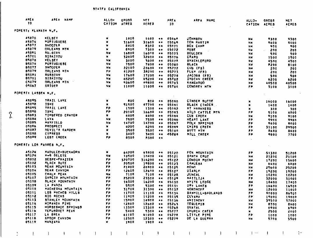
SfblFl CALIFORNIA
ARE4 ARE4 NAMF 10
FlJaEJTl KLAHATH N,F,
45070 KELSEY 4507.4 ~ORTUGIJESE 45071 SNOO7tR 45079 ORLEANS HTN 45081 RW314N 45701 sx9KIY@u 85070 KELSEY 85074 PORTU6llESE 85077 SNOOIER 85079 ORLEANS MTN B5OBl RUSSrAN 85701 SI!3KIYOU CTOlV ORLEANS HTN 05Ob7 GRTOER
FOREST, LASSEN N,F,
A5095 A5008 85095
7 85098
f- 05ocI3 05084 05OS5 05086 05OS7 05088 OTORV
TRAIL LAKE 1SHI TRAIL LAKE ISHI TIw8FRED CRATER LAVA MAVF TCLD PROSPECT OEVIL’S GARDEN CYPRE8S LOST CREEK
FOREST; LOS I PADRES N,F.
ALLO- c4~1w
GD0.99 ACRES
w 1000 w SlbOo w 8000 Y 8900 NW 16l300 w 32000 NW 3000 NW 7500 NW 22100 FP 01200 NW i 7bOO NW bS200 NCI TObOo NW 11000
Y w ?P ?P w NW NW Y w w FP
800 800 44
51500 u7700 l *
1300 1300 l *
?OlOO lb600 l *
0000 0400 44
7500 7500 44
la700 la700 l *
a200 0200 l *
3500 3500 l *
3000 3400 44
8300 b300 l *
w NW FP FP FP FP NW FP FP CP FP FP FP FP FP FP FP FP FP W
:;5:: 320700
20500 r1aoo 12bOo
7100 25200 lb300
5500 31’Too 11700 11qoo 1 sqoo 12800 13300
5000 b1lOo 12soo
1900
I I I
FJET ACRES
4RE4 ID
ARFA NAME ALLO- GROSS NET CATION ACRE8 ACRES
la00
3:% 7300
lbono 32000
1000 7000
20bOo 3e200 17200 65200 bq800 11000
44 OSOba JoHNrS@N 44 05069 TOM MARTIN 44 OS071 BOX crnp .* 4 OS072 wst 44 05073 BOULDER 44 05076 CRAPO 44 0507? SHACKLEFORD 44 05080 FLACK 44 OS272 CUB (FSj l * 05273 FLEW tFSi 44 OS270 JACOB8 (FSI
.** OS702 INDIAN CREEK l * 0570s KANGAROO 44 05700 CONDREY wTN
NY 9300 9300 NW 0000 8400 NY 900 900 NY 200 200 NW 500 500 NW 1560 1500 NW as00 a500 NY 8200 8100 NY 200 200 NW 200 200 NW so0 500 NW 6200 b200 NW aosoo aosoo FP 3100 3100
A5124 MAbULct-SUCKHORN 85120 N-0 DELETE 05002 SESPE-FRAZIER 05102 RL4cK 8uTE 05103 REAR POUNTAIN 05104 SEAR CANYON 0510s CHALK PEAK
05107 GARCIA WWNT8IN 05108 BLACK HOUNTATN 05109 L4 PAN24 05110 MACHESNA MOUNTAIN 05111 LOS NACHOS HTLLS 05112 RIG ROCKS 05113 STANLEV ~OlJNtAIN 05114 MIRANDA PINE 05115 ~ORSESwoC SPRINGS 05116 TEpUSQUET PEAK 05117 LA BRE4 05118 SPDOR CANYON 05119 MANLANA
I I I I I
oso9lj CINDER BUTTC 05091 BLACK CTNDER 05092 MT HARKNESS OS093 MILD-CATTLE MTN 05090 CUB CREEK 0509b HEART LAKE. 05697 POLK OPPINGS osovq CHIPS CREEK osloa tluTT MTN bS280 HILL CREEK
w k
:P NW Fp Fp FP FP FP
lb000 lb000 1400 1000
300 .300 5100 aeoo 9100 9100 9900 woo 9000 9000
31100 29500 8bO0 8600 9800 7100
63900 1nuao
3lb200 lP800 io900 12600
7100 23500 lb200
5300 31300 11100 11200 10000 12bOo 13300
5300 bl0‘00 12300
1900
44 44 l *
l *
l *
48
l *
l *
l *
44
l *
**
l *
l *
44
44
l *
44
44
44
OS120 0512! 05122 05125 05125 05127 05128 05129 OS130 OS131 OS132 osl3a 05135 OS13b oS2b3 as268 05277 05270 OS279
FOX MOUNTAIN SANTA CDU2 CONDOR PoI’NT CAWUESA HoNIl DIARLrr JUNCAl “4TILtJ4 WHITE LEDGE DRY LAKE8 NORDHIJF F SAWHIlL-8ADLANDS CUYAHA ANTIMONY TEQULPIS QuATAL CHURCH CRFEK LITTLF PINE DE LA GuERR4
Fp NW NW NW NW FP
:; NW Fp
ri Fp‘ NY NW FP w FP NY
.s1300 51200 21200 21100 17200 15600
6000 boo0 25bO0 25200 19200 19200 10200 10200 32000 3iaoo 18400 i 7000 lb600 16500 12000 11000 ~0000 86500 1qooo 19000 39500 37000
8700 8600 6900 6900 2500 2000 1000 1000 5700 5500
I I I I I
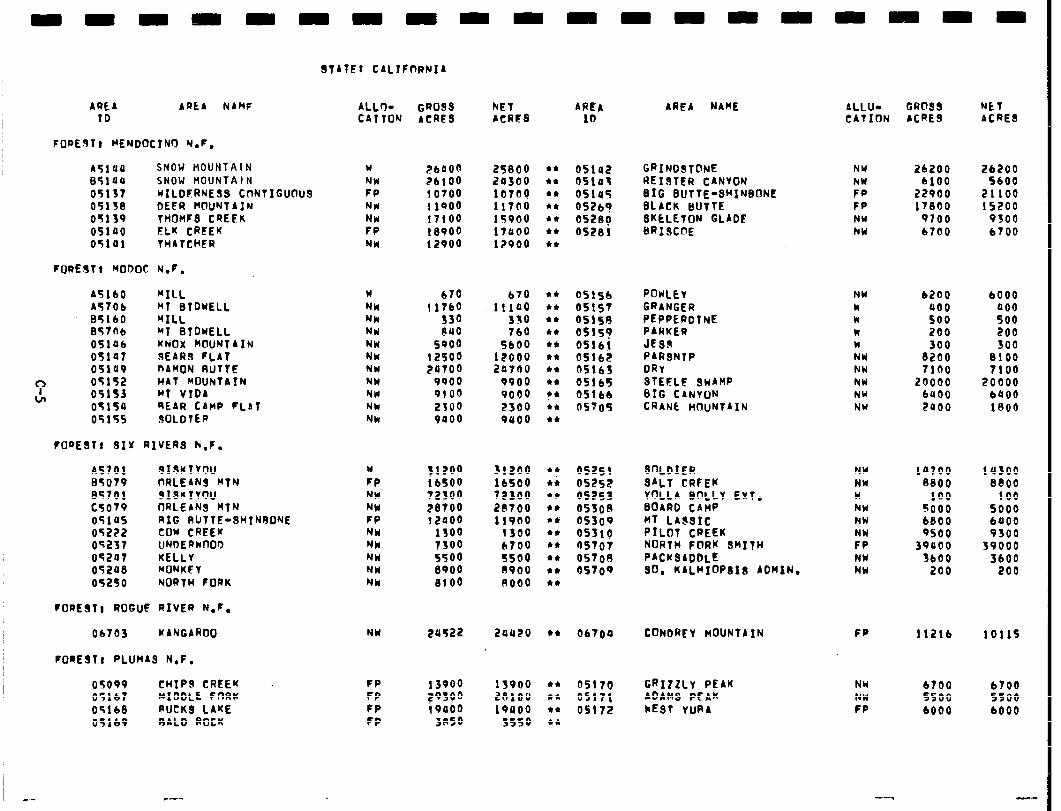
STATE: C4LIFnRNI4
ARE4 ARtA NAMF ALLO- GROSS NET AREA ID C4TTOK ACRES ACRFS IO
AREA NAME 4LLU- GROSS NET CATION ACRES ACRES
FOREST8 MENDOCTNCI Y.F.
45119 SNOW HOUNTA I N Y i?bPOo 25800 44
85100 SNOW HOUNTAI N NW ZLlOO 20300 44
051s7 WILDERNESS CnNTIGUOUS FP 10700 10700 l *
05138 DEER MOUNTAIN NH 1 lPO0 117OQ 44
05139 THOHFS CREEK NW 17100 15900 44
05100 ELK CREEK FP 18900 17000 44
05101 THATCHER NW 12900 12900 44
05142 GRINDSTONE Nlrl 2b200 26200 OS103 REIRTER CANVON NW blO0 5600 051e5 BIG BUTTE-SHINBONE FP 22900 21100 6526? BLACK BUTTE FP 17800 15200 0528Q BKELETON GLADC NY 9700 9300 OS281 BRISCOE NW b700 6700
FOREST, BODOC N.F.
45
i: 85 05 05 05
‘: 05 tJl 05
05 05
b0 '06 60
‘06 Ob a7
.a9
,;s .5a ,5s
MILL w b70 BT BTDUELL NM 11760 BILL Nk 330 MT BTDKELL NW 840 KNOX WIUNTAIN NW 5~00 SEARS rL4T NW 12500 nAMON RUTTE NW 20700 HAT WJUNTAIN NW 9900 MT VTD4 NW 0100 REAR CAHP FL4T Nk 2300 ROLDTER Nk 9000
670 iii00
330 760
5600 l?OOQ 20700
9900 9000
44 44 44 44 44 44 44 44 44 i* 44
2300 9800
OSlSb ROKLEY NY b200 6000 051s7 GRANGER k 000 000 05158 PEPPERDTNE k 500 500 os15y PARKER k 200 200 05161 JEsR w 300 300 OS162 P4RSNTP NW 8200 8100 05163 DRY NW 7100 7100 05165 STEFLF sn4HP NW 20000 20000 051 bb BIG CANVON NM bUO0 baoo 05705 CRANE HOUNT4IN NU 2000 1800
FORESTF SIX RIVERS K.F.
A5701 SISKTYOU w 31200 I35079 ORLEANS BTN FP 16500 ET701 SISKTYOU NW 72300 c5079 ORLEANS MTN WI 28100 0510s RIG RUTTE-SHINBONE FP 12000 05222 COW CREEK NW 1300 05237 UNDERwOOl) NW 7300 05207 KELLY NW 5500 052ae HONKFY NW 8900 05250 NORTH FORK NM 8lO0
31200 lbSO0 72300 20700 11900
1300 b700
44
l i 44 l *
44
44
44
44
44
44
5500 0900 no00
05251 SOLDIER NW la700 lU300 05252 SALT CREEK NY 8800 8800 OS253 YOLL4 BOLLY EXT. w 100 100 0530n BOARD C4nP NW 5000 so00 05300 MT LASSIC NW 6800 bOO0 05310 PILOT CREEK NW qsoo 9300 OS707 NORTH FORK SMITH FP 39000 39000 0570A P4CKSADbLE NY JbOO 3600 OS709 SO, K4LHIOPSIB ADMIN. NY 200 200
FOREST1 ROGUF RIVER N.C.
06703 KANGAROO NW 20522 2aa20 44 06704 CONDREY MOUNTAIN FP 1121b
FOREST1 PLUMAS N.F.
05OP9 CHIPS CREEK FP 13900 05167 MIDDLE FORK FP 29300 05168 PUCKS LAKE FP i 9000 05169 BALD ROCK FP 3RSO
13900 2BlOU 19000
3SfQ
44
44 44 44
OS170 GRIZZLY PEAK NY 6700 05171 ADAMS PEAK NW 5500 OS172 kEST YUPA FP 6000
1011s
6700 ssoo 6000
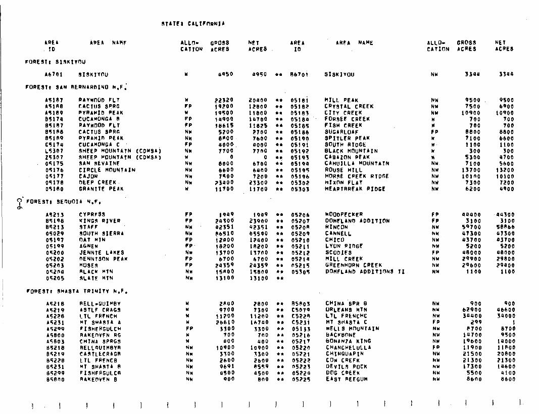
STATtl CALIFIYRNIA
4HfA NAME ARE4 ARE4 .NAMF ALL!l- GPo8s MT ARE4 ID CATION ACRFS ACRES ID
FORESTA 319KIYrJlJ
46701 919KIY(rU
FORESTA SAN RERN4RDlYO N.F,’
w uqso a950 44 Rb701 SISKIvOU NW 3300 3sua
45107 RAYWJUD FLT 45lR8 tACTUS SPRG 45189 PVRAPID PEAK 85174 CUCAMONG4 B 05107 RAYnO FLT 85lF8 CACTUS SPRF. 851A9 PYRAHIfI PEAK t5174 C.UCA.lrONGA C L5307 JHEEP HDUNTATN (CDWAj z5307 sHfEP POUNTAIN (CDwS4) 05175 SAN SkVAINt 05176 CIRCLE KCJUNTAIN 05177 CAJON 05178 DLEP CREEK 051so GRANITE PEAK
C;JmF0~E977 s~Ruor4 Y.F,,
w FP Ii FP FP Nh NN FP Nk w NH NW Nk Nk w
:,‘::i 19500 lUQO0 1861s
5200 8KOO OOO@ 7roo
0 8000 6600 7900
23000 ! ITOO
2ouoo 12800 11800 lOlO0 11825
2700 lb00 a000 77no
0 bTO0 bUO0 7200
25300 11700
44
44
l *
44
44
44
44
44
44
44
l i 44 44 l *
l *
0518i PILL PEAK NW 9500 9500 OS! 82 CRYSTAL CREEK NH 7soo 6900 05183 CITY CREEK NW 10900 10900 OS180 FORsEE CREEK W 700 700 OS185 FISH CREEK w 700 700 05189 SUGARLOAF FP 8800 8800 OS190 SPITLFR PEAK w 7100 bbO0 OS!91 SOUTtJ RIDGt n- 1100 1100 OSlQE BLACK MOUNTAIN w 300 so0 0519s C404ZON PFAK w 5300 a700 05190 CAHUTLLA POUNTAIN NY 7100 5600 OS195 ROUSE HILL Nbl 13700 13200 0519b HORSE CREEK RTDRE NW 101no 10100 OS502 HfXf-JN FLAT NW 7300 7200 05303 .WEARTRREAK RIDGE NU b2Oo aqoo
m 45213 CYPRFSS 85198 MING3 RIVER 85213 sTAFF 05029 SOUTH SIERRA 05197 OAT YIN 05199 AGNEW 05200 JENNTE L4KCS 05202 PEYNTSON PEAK 05203 “USER 05204 RLACW MTN 05205 sL4TF PTN
FP 1909 1949 44
FP zu;oo‘ 23900 44 NM a2351 u2351 l *
NH 86510 tr5590 44
FP 12fiQQ i?aoo 44
FP 18200 lR200 l *
NW i 3700 137no 44
FP 6700 b700 44
FP 20359 20359 l *
NW 1SAOQ 15800 44
Nh i3100 13100 44
052Ob hOODPECKER FP aaaoo au300 OS207 DOhfLAND ADDITION FP 3100 3100 OS20A HINCON NW 59706 S8Pbb 05200 CARNELL hY 47300 atso os21g CHICO NY u3700 03700 65211 LYON RIDGf hW 5200 5200 05212 SCODIfS FP u8000 a8000 05210 PILL CREEK NU 29900 29800 OS215 GREENHORN CREEK NW 2QbOO 29000 05305 DoHFLIND ADDfTTf.lNs II NY 1100 1100
FoPESTc sHAST4 TRINITY N.F.
45218 RELL-GuIwBv w 2ROO 2800 41 nsnos 45219 4STLF CRAGS W 9700 7300 44 c5079 45228 LTL FRfNCH w ilSO0 11200 44 C522R 45231 MT 3w4sT4 4 Y 76610 lb700 44 C5231 452qv FISHERGULCH FP 3300 5300 44 05133 45800 .RAKEnVFN RG W 700 7no 44 05216 45803 CHINA SPRGS w 000 400 44 OS217 S5218 RELLWIHsYR NH 10900 10900 44 OS220 05219 CAsTLtCRAGR NW 3300 13(10 l * 05221 05228 1TL FRFNCB NY 2600 2600 44 0522F ss231 MT SHASTA 0 NCI 9191 es59 44 ns223 85299 FISHFPGULCR NW a500 a500 44 05221, 858PO RAKElrVfN 8 NW 000 800 44 05725
I
ALlO- GRC’SS NET CATION ACRES ACRES
NW 900 900 NW 62900 UbbOO NW 3uoo 3QOOO FP 299 1 NW P700 8700 NW 14700 9500 NW 19bOO 1u0.00 FP 1.1900 11800 NY 21500 20800 hY 21300 21300 NW 17300 lubO0 NW 5soo 4100 hW 86no 8600
I 1 I
CHINA ‘SPR B ORLEAN MTN LTL FRCNcHC MT SHASTA C WELL s HnUNTAIN bACKUnNE bONAN?A KING CHANCPELULL4 CHINQllAPIN C&I CREFi DEv1L.S POCK D@G CPEEK e4ST REEGUH
1 I I I I I I I I I
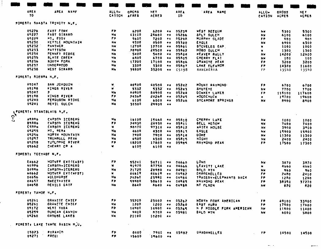
AREA AREA NAHF 4LLrl- GWOSS NET AREA 10 CAtTON 4tAEa ACRES IO
FOREStr dHAStA TRINITY N,F,
05226 FA3t FORK 05227 FA3t GIRARD 05229 wt. FDDV 05250 KETTLE HbUNTAIN 05232 PANTHER 0'5233 PATttSnh 05254 PENNEV R1Dr.E 05235 SLATE CREEK 05Zfb SOUTH FORK 05237 UNDERWlOD 05238 WE9t GTRARD
FOREST: 9IiRQA N.F.
FP NU :2 NU NW NW
,NN NN NN NW NN
6200 43100
PBOO 9300
I2100 .?8900
5400 bRO0
17200 3300
39800
6200 20600
7200 4500
12700 28500
5000 b700
17100 3300
3S2bO
05239 NEST REEGUH 052Bb SALT GULCH os29:: YURPKv GLADE ossoq EAGLE oseo1 StOVELEG GAP, OS002 HOBO GULCH OSRIJQ WEAVER BALLV OShOS CHERRY FLAT 05006 GRANITE PE?K OS8OT LAKE ELEANOR. C5198 RANCHERIA
A5047 34N JOAQUIN w. 40500 ~0500 A5199 KINGS RIVtR w 5332 5352’ 85047 2 NN A4900 84900 95196 KINGS LIVER FP ?43b8 24268 05240 FERGUSON RTD6E NN blO0 6000 05241 nEVIL GULCM NN 50300 29900
OS242 HOUNT RAyMONO. FP 6700 6700 0524s SWTEVE NY 7700 TTOO 05200 DINKE~ LAKES FP 11e100 117600 OfZo5 ~OODCWCK I 19700 19600 OS206 SYCAHCIRE SPRINGS NY 8900 8900
$ORESTI 3tAN19LAUS N.F.
I 4 AfPKt4 CARSfW ICEt\ERG
95986 CAR30Fi ICESERG t59Kb CARS@N ICERERG 05255 Mt. RERA 05256 NORTH MOUNTAIN 05257 TRUMRULL PEAK 05258 TUOLWW RTVFR 05662 CHERRV CR A
NN iblO0 lSU60 FP 24930 24950 Y 9l3n70 97310 NN 4600 4300 NY 7900 7900 NU b500 6500 FP 18200 17800 Y blot b100
05e10 CHERRv LAKE NW 1000 1000 OSRll BELL MEbOw NY 7uoo 7000 OSP12 iAtER HOUSE NW 3900 3QOO 05017 EAGLE hY 15900 15900 aSAla DOME NY 11300 11300 058T5 NIGHT NW 2100 2400 OSQl35 R4v”OND PEAK FP 11500 17300
FOREST, TOtYAW N.F.
EObb2 HonVFR EXtfEAST) N49Pb CARSI-IN-ICERERC S'J98b CARWh-ICEBERG WOb62 HOOVER EXT IKFST) 04656 UILDHURSE 04b57 3wEElhATER 04658 DEVILS GATF
FOREST, TAMOF ‘J.F.
FP 5524 1 Y 919ro NN 31720 w 4Ubl9 NN ?UZbD FP 59980 NU 8640
54711 87750 zooa 40619 23900 SOblO
nb40
dUb60 LONC NW- 3870 3370 06666 LEAVITT LAKE n 4660 4bbO 09981 BALD WfN NW PI0 960 04982 DAR~ENELLEs FP 2URO 2410 ouqg4 TRAGEDY-ELEPHANTS BACK FP 1280 1280 04985 R4VClOND PEAK FP 38350 37270 04980 Ht NOEN NW 020 020
A5261 GRANTTC CHtEF 8526 1 GRANITE CHtLF 051’12 WE91 YU94 05259 DUNCAN CANYON 05260 GROUSE LAKES
FOREST, LAKE T4HnE BASIN M.-U,
FP 35200 23900 NW 1200 1200 FP 14ROO 10900 NW 9400 R700 NW 21100 10200
052bE 0526Q 0526S 05981
05025 PYRAMIn 05271 FREEL
FP FP
8400 IS600
05982
-mm
AREA ‘NAME ALLO- GROSS NET CATION ACRE3 ACRES
hY 5300 5300 NW 6100 6100 FP 900 901) NW 6900 bSO0 w 1000 1000 w 1300 1300 NW lozoo’ 12600 NW 100 100 FP 3200 3200 FP 14300 11600 FP 13540 13540
:; NU NW
53900 17600 11400
5100
FP
49100 17900 11900
6000
14500
-.
19500
---
NORTh FORK A?ERfCAN EA9r YUBA h F MIDDLE ?ORK AKERICAN BALD WTN
DARDANELLES
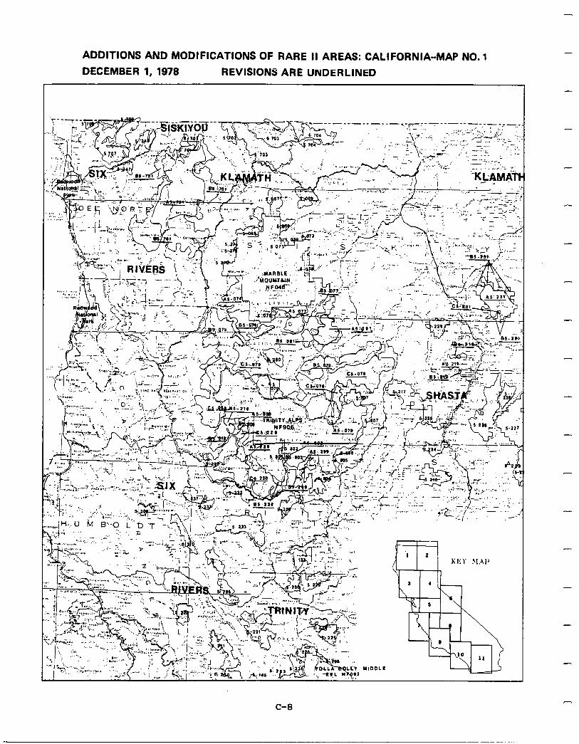
-
ADDITIONS AND MODIFICATIONS OF RARE II AREAS: CALIFORNIA-MAP NO. 1
DECEMBER 1, 1978 REVISIONS ARE UNDERLINED
-
-
-
-
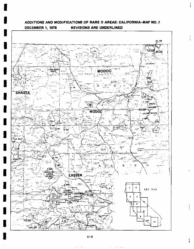
ADDITIONS AND MODIFICATIONS OF RARE II AREAS: CALIFORNIA-MAP NO. 2
I DECEMBER 1,1978 REVISIONS ARE UNDERLINED
J
I m
-4-J “.‘,.:
‘:. I’
I I
--.. ‘,,,’
\
. .I . . . . 1 “...
31Al
‘\
L3 II
I c-9
i k
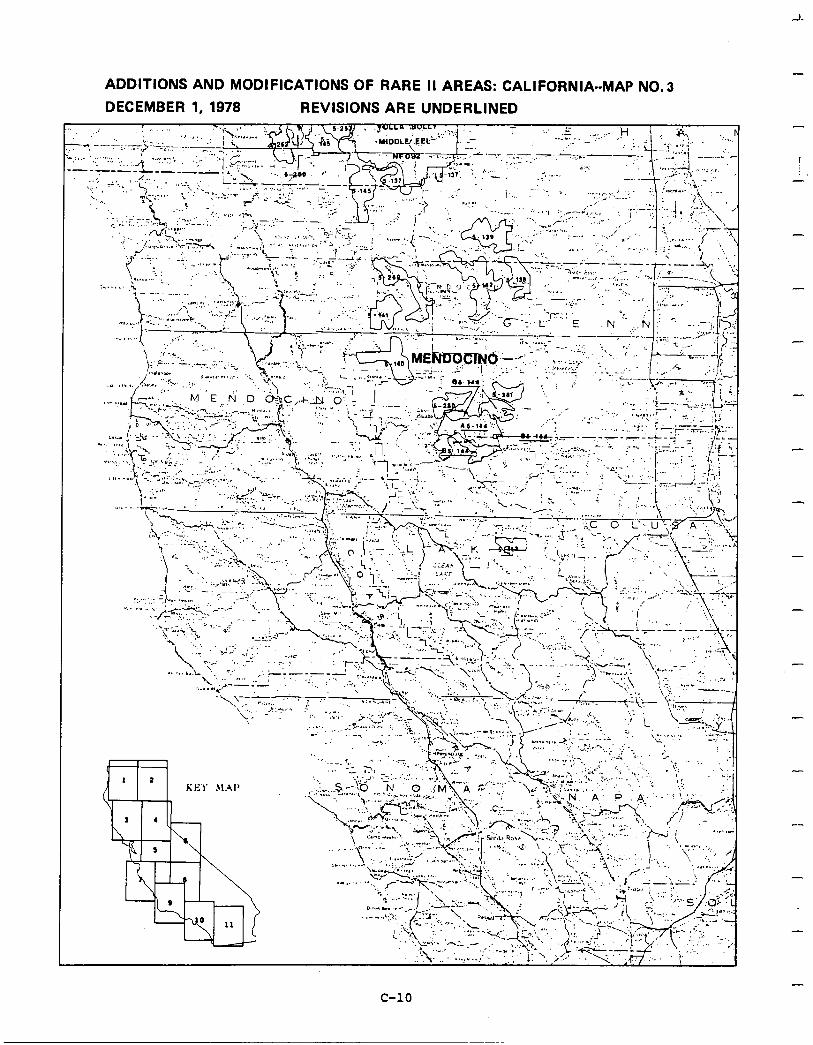
ADDITIONS AND MODIFICATIONS OF RARE II AREAS: CALIFORNIA--MAP NO.3
DECEMBER 1, 1978 REVISIONS ARE UNDERLINED
-
-
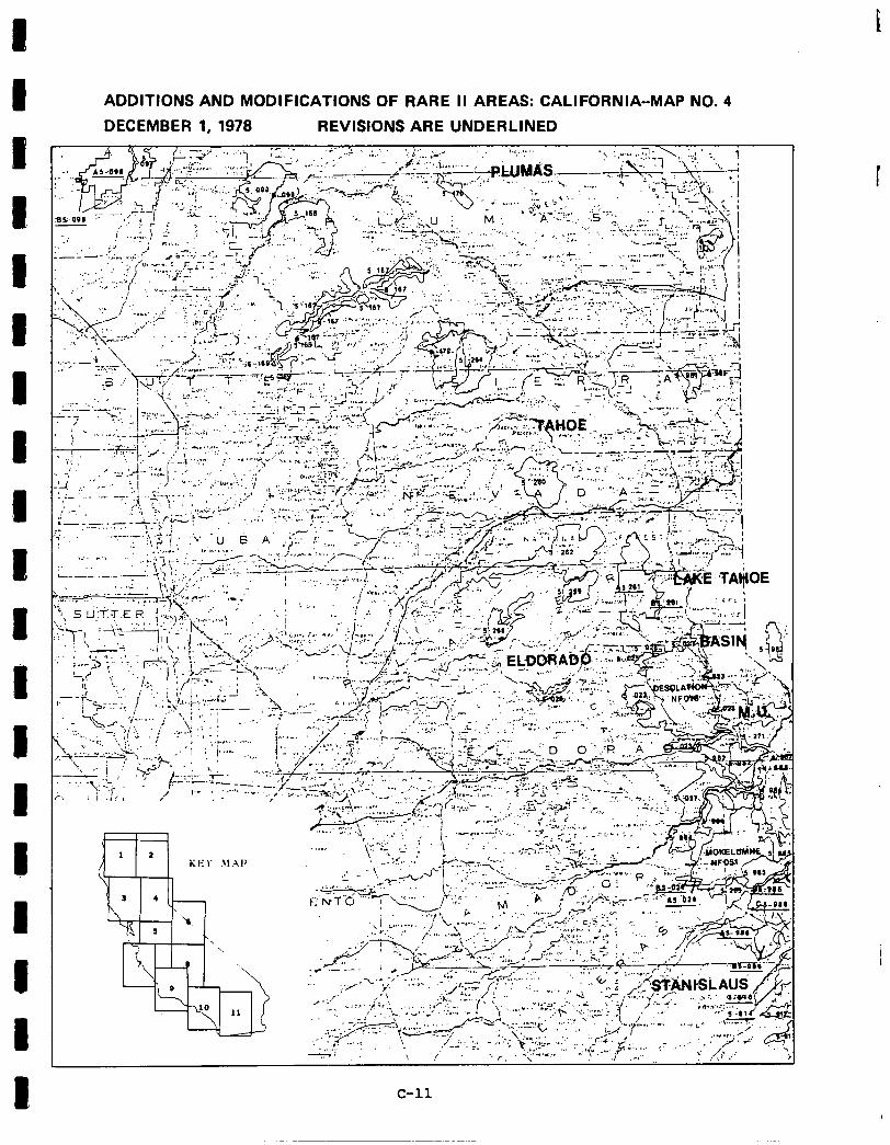
t
ADDITIONS AND MODIFICATIONS OF RARE II AREAS: CALIFORNIA-MAP NO. 4
DECEMBER 1, 1978 REVISIONS ARE UNDERLINED
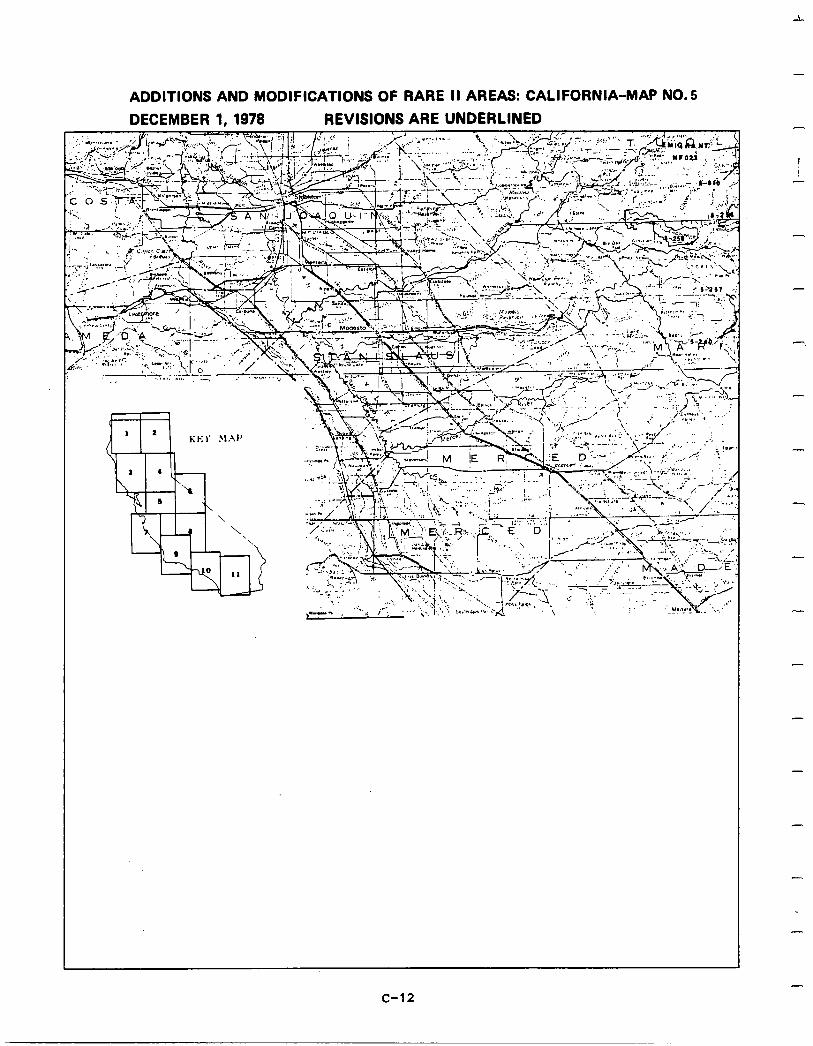
ADDITIONS AND MODIFICATIONS OF RARE II AREAS: CALIFORNIA-MAP NO. 5
DECEMBER 1,1978 REVISIONS ARE UNDERLINED
\ \
‘Y
Q&3
m
0 11
-
I
I
-
7
-
-
-
-
-
-
-
c-12
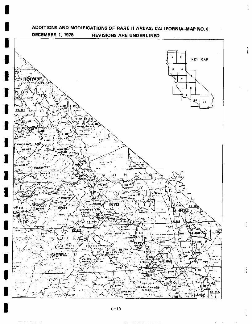
ADDITIONS AND MODIFICATIONS OF RARE II AREAS: CALIFORNIA-MAP NO. 6
DECEMBER 1, 1978 REVISIONS ARE UNDERLINED
; I
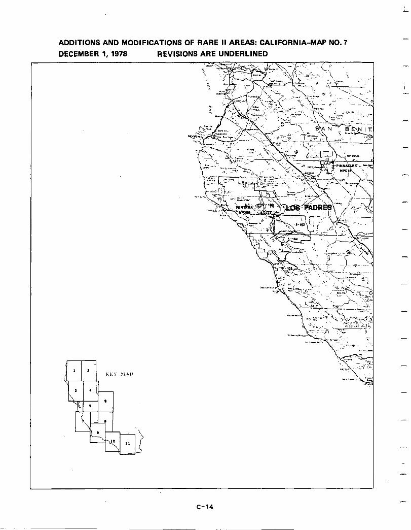
ADDITIONS AND MODIFICATIONS OF RARE II AREAS: CALIFORNIA-MAP NO. 7
DECEMBER 1, 1978 REVISIONS ARE UNDERLINED -
I
-
-
-
-
-
-
-
-
-
c-14
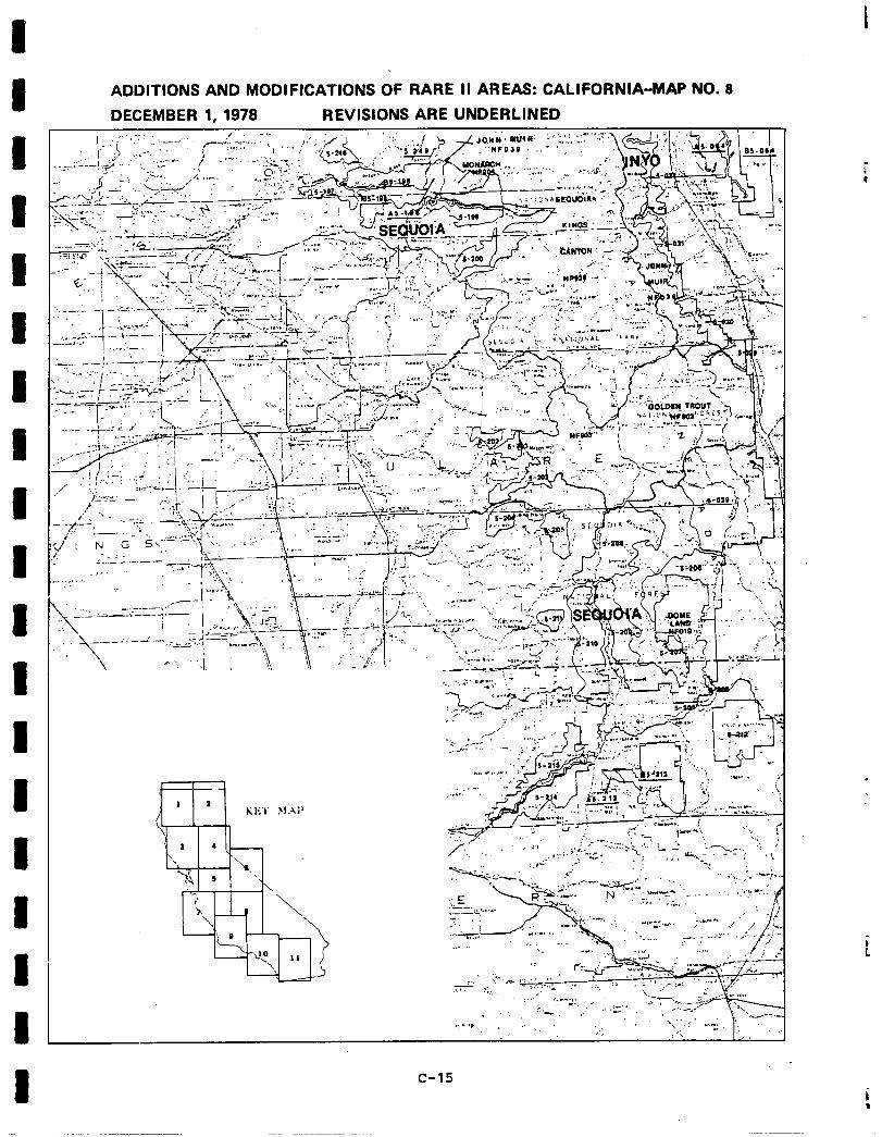
I I I I I 1
1
ADDITIONS AND MODIFICATIONS OF RARE II AREAS: CALIFORNIA-MAP NO. 8
DECEMBER 1, 1978 REVISIONS ARE UNDERLINED
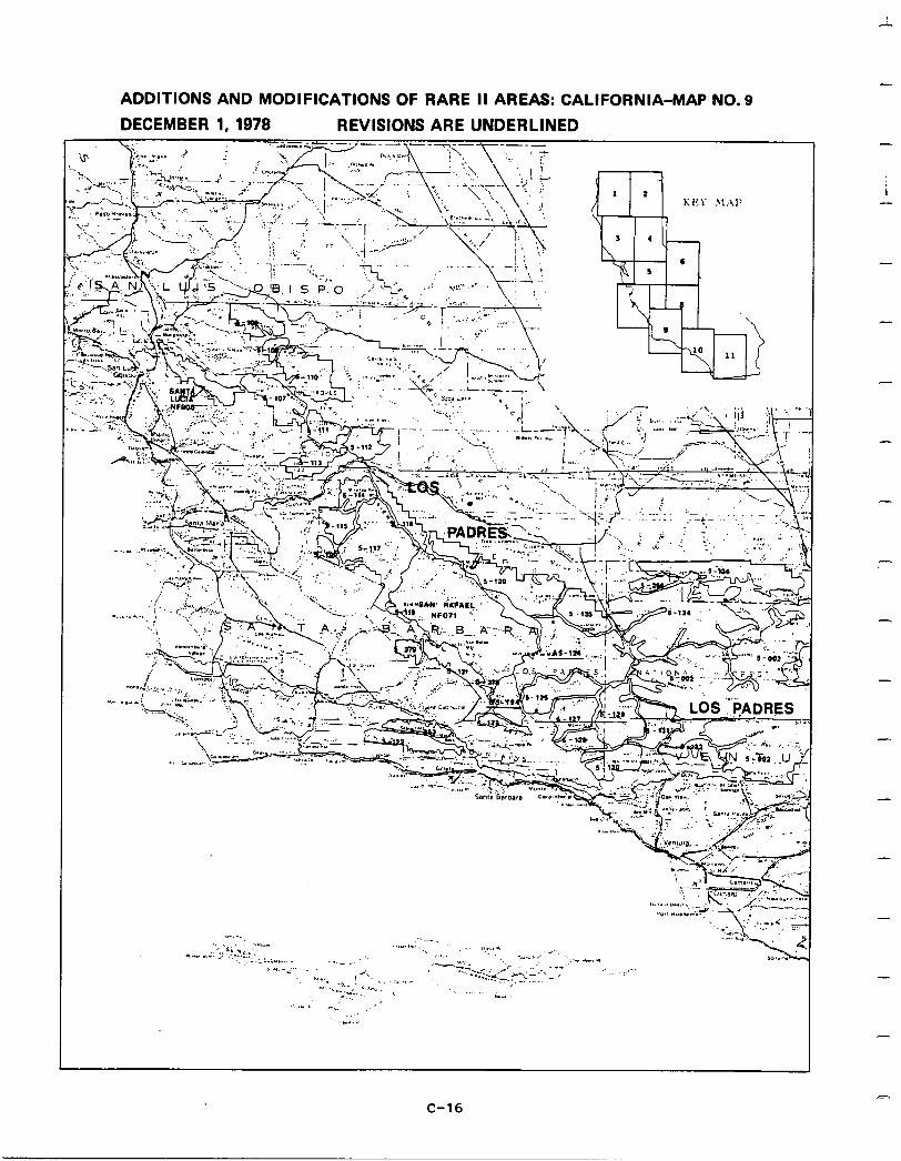
ADDITIONS AND MODIFICATIONS OF RARE II AREAS: CALIFORNIA-MAP NO. 9
DECEMBER 1, 1978 REVISIONS ARE UNDERLINED -
i
-
-
-
-
-
-
-
-
m C-16
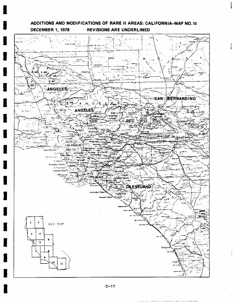
ADDITIONS AND MODIFICATIONS OF RARE II AREAS: CALIFORNIA-MAP NO.10
DECEMBER 1, ’ 1978 REVISIONS ARE UNDERLINED . . ~, ,’ ““:y,’ _ :, i :, ; ..; 1 ,, - .:_.; ,‘-.,a* .n . t ,I..’ __ ‘7’ : -> 4
w.C..* : ,,;.‘- .; . . ,.’ I :( : IL b..?A. .vr. 2 i . ;. ‘..,
c-17
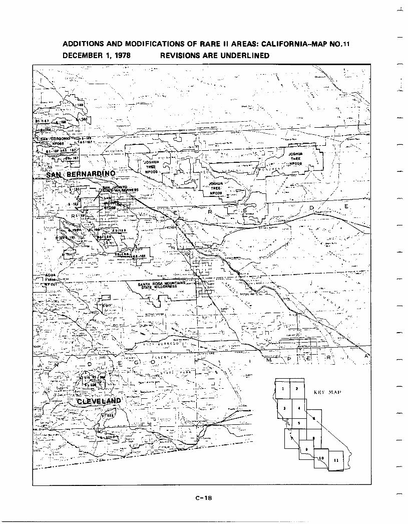
- ADDITIONS AND MODIFICATIONS OF RARE II AREAS: CALIFORNIA-MAP NO.11
DECEMBER 1, 1978 REVISIONS ARE UNDERLINED _:, 1:” . . . ,,., . . .._ .‘-.‘_. ” ‘Z”” -..\. I I
C-18
I
1 Social. In an area as geographically and culturally diverse as California, social impacts of roadless area designation could be expected to be extremely varied. This does not appeartobethe case. Although perceptions of many different social effects
I
were mentioned by the public in support of their preferences, only a few were cited by a consistently large number of people. These social reasons were not only offered for nearly every roadless area in the state, but they often represented the most
I
frequently used reason of any sort. This indicates that interest in the social implications of RARE II decisions is high.
Social interest appears to be particularly high in northern California, especially
1
near the Klamath and Shasta-Trinity National Forests, both of which received dispro- portionately large numbers of public input. It is not coincidental that these two forests are among the Region's highest in timberproductionand also contain roadless
I
areas of very high wilderness values.
One explanation for the high degree of nonwilderness sentiment about areas in the northern part of the State stems
I
from the fact that much of the input concerning these areas came from out-of-state. Itislikelythatmuch of this nonresident response was submitted fromOregonresidentswhosetimberindustryis inter-relatedwithnorthern California's timber industry. Finally, the high degree of nonwilderness concern
1
in this area can alsobe related todepressedeconomies of several northernCalifornia counties.
1
Implementation of the proposed action will provide additional opportunities for non- motorized recreation activities such ashiking,bird watching, nordic skiing, photog- raphy , androckclimbing, all of which were important social considerations of people expressing pro-wilderness sentiment, especially in relation to northern California
1 roadless areas. Allocating 176 areas to nonwilderness will create new opportunities for motorbikes, jeeps, and snow machines for which there is increasing demand in California. The proposed action will also allow motorized access to many areas
1
allocated to nonwilderness for special groups such as the elderly and handicapped. In addition, by putting appropriate individual areas into nonwilderness or further planning, developnentof new downhill ski areas and expansion of existing facilities
1
will not be foreclosed.
The division of Ishi into wilderness and further planning, and designation of Polk Springs as further planning should alleviate concern over historical, archeological,
I and cultural values contained in these areas where the last of the Yahi-Yana Indians lived. Concern was expressed that these values may be impaired by nonwilderness development activities. Furthermore, wildernessdesignation of Siskiyou will protect
I
the spiritual and cultural importance (sacred grounds) that this area has to the Karok, Tolowa, and Yuroh peoples.
Economic.
I
A summary of economic impacts for the proposed action is presented in the following table. These are national impacts and may or may not occur in California. All state impacts are allocated from the national totals and are based upon state resource changes. They are California's contribution to the national
I impact. For a completedescription onhowthe impacts were calculatedsee AppendixW.
1 I c-19

CAl,IFilRrl I A SUMMAHY OF EC’)i\lf?M JC TMP,4CTS-AJ~l~EPNATTVF’ FA -
4. EMPI,QYMF.NT EFFECTS-CtiAbJGE FRllM PRf?SFNT j
JKDUSTPIAL SECTnR F’QTENTI AIt POTEh’TrAL POTEkTl AL 1MkEDlATE LONG-TERM LONG-TERM
(F’P AS NW) (FP AS kc) - -----------1----1----------------------------------------------------
AGRIC~JLTIlRE -14. 3251. 2562. YTNIYG -1. 699. 594. COwSTKUCTInN ‘6. 2032. 1592.
-
Fn@D ANI) PPnnlJCTS -2. 2964. 3387. TEXTY J,E ANI) 4PP4REL -5. 1383. 1077. L[lGrl;I NG ANI! SAd?, 1 LLS -h5. 840. 136. FIJRF!XTlIl?E -1. lR4. 140. PllI.,P AND PAPER -26. 923. 676. PRT~TIiJG ANn PIIHLlSHTNG -?. 6RO. 534. CHEMTCALS Ahl) RIIHRF:R -5. Q44. 695. PFTR0I,E:Il~ RFIFTNJI~G 0 . 450. 383. STt?quFJ CLAY Ar.1l-I CLASS -2. 457. 357. PRIMARY f-‘E’!‘AL -7. 494. 388. -
FAH WLr:TALr A’uI) MAC111 -6. 1291. 1004. FLECTR TCAL -2. 637, SO!). AIrL OTHER MPG -3. 1564. 1247. TRANS CnYv IlTIlr -12. 5559. 4329. WclnLESALE -11. 2494. 1937. RET A TL -19. 1 R473. 14937. - FIPK -W. 2935. 2309. SEPVTCES -26. 22116. 17174. TOTAL PH LVATE SFCTrtW -717. 70320. 54946.
H. nTHf!:P EFFECTS-CHAVGE r’R(>k PPFSFNT
C ATECURY PCbTt:NT T AI, PnTF’lJT I AL Y0Tk:NTJ AL I It h’ E: 1, I A T F: Ll‘1h;G-TERM I.,nNG-TERP
(FP AS NW) (FP AS WI -----------------------------------------------------~-~------------- 1 FI c: I. 1 M I? ( S M 1 J , I, 11’1 N 1 -3. 764. 596. CllJTPllT (S~IJ.II,I~N J -10. 7523. 1974. V41,IIF: ADDEP (SMIL.Llf3N). ‘4. 1255. 983. PcJPuItATInh3 -564. 1 P3333. 143251.
1
-
-
-
c-20

I 1 I UNIT
I Commercial Forest
I Land-(M acres)
1"
ardwood Saw- timber - (MMHF)
Hardwood
1
Products - (MMCF)
Softwood Saw- timber - (MMRF)
Softwood
I Products - (MMCF)
P
eveloped Rec. Picnicking -(MRVD)
1
Camping -(MRVD)
Skiing -(MRVD)
1 Water -(MRVD)
Unbuilt -(MRVD)
1 Dispersed Rec.
1
Motor -(MRVD)
Nonmotor -(MRVD)
1 ig Game Hunting -(MRVD)
f:
mall Game Hunting - (MRVD)
onhunting
P
-(MRVD) ishing
-(MRVD)
F razing
Cattle - (AUM)
I
Sheep - (AUM)'
Common - (AUM)
D
RESOURCE OUTPUTS WITH THE PROPOSED ACTION CALIFORNIA
TOTAL INVENTORY OUTPUT-FP as NW
Present Potential Potential Immediate Long-term
Output Output
OUTPUT-FP as W
Present Present
Immediate Output
Potential Long-term
Output
1,662,081 1,662,080 1,374,600 1,374,600 881,818 881,818
1.0 10.2 1.0 9.4 1.0 7.7
2.4 2.8 1.9 2.3 0.8 1.3
257.6 397.8 247.3 351.1 175.5 245.5
5.0 19.4 4.4 18.2 2.6 14.1
9.0 192.5 8.7 169.1 3.6 132.1
57.0 12,026.6 44.3 11,928.l 28.2 11,426.4
10.0 3,644.l 10.0 3,643.7 0.0 2,833.l
28.5 255.8 27.1 252.6 21.6 93.7
12,440.8 12,304.l 10,695.6
346.3 485.9 294.2 437.0 93.9
1,828.2 4,697.g 1,917.8 4,556.8 2,060.7
190.7
4,349.g
1,059.3 662.7 1,064.l 659.0 1,051.8 603.4
121.6 154.8 123.6 153.4 127.2 146.6
100.6 156.1 107.9 154.5 226.0 244.3
294.4 387.3 297.6 384.0 301.1 325.5
104,084 129,841
12,740 25,988
0 800
c-21
101,292
11,262
300
126,053
23,189
700
97,084
10,560
650
111,363
16,101
650
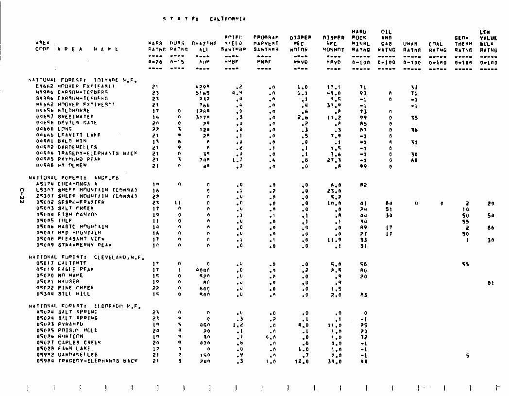
ARtA COW AREA N A c: t
FtATlWJAL FUPEqlr TOlYARE N.F. Ea6h2 HmJVCP FxT(FASI~ N'J9nb CAQ$ON-ICFBFPG aa9A0 CARWN-ICFUF~G Nub42 movta F#T(wtgll oat.56 clfLmnk9t oabT7 SWEEIWATEP O'Jbzb DFVTLP GAlk oatl4u LrWG O(lbAb LFAVITT LACF O'JOel 8d~n "TN OU9a2 DAWf'ENELLFS oa9nu ~~AC~~Y-ELEPHAN~Y oscw Oa9Ps RAY~uND PFAU 0098e PIT f"LqEN
NATTO'JAL FOPE?T: AN(;cLFS A517U C!lCAWlNGA A
': L93n7 SHCFP HnIJkTAIN fC?~9Al
FL! 2-3f'7 S"EFP M@UNTAlN CCnn.sA, 09002 SFSPE-FaAtIFG OqOn3 SALT fRFEw OTOO4 FISH t?AYYfth 050n5 T!ILF 05006 MAGTC Hn)IIFITalY cBcfJn7 RrD llnl/NTAlN OSOSP PI E&SAN1 VIFN O'?OnP STG4wnEQwY PEAR
N~TTONAL FW'Eqlr CLEVELAND, N.F. 05017 CALTENTE 17 OcO(9 EAblE PFAW 17 OCO70 Nn NA"E 19 05071 HrUSER 10 O~O?Z PTNF rRFEY 2? 053ne sTLL HILL l<
NAlIO'JAl- CjlptST? kt.DnkEm b’,F, AS024 SALT SPRING BT0?4 S4LT 3PaIQG 05073 PYkAMtLI 0507s PnISw WLk 05076 A'WllcnN 050?7 CAPLEl9 CRFte uSO?B FAkN LAKE OS9q2 DARnANEI.LFS 059PU TaAGEnY-ELEPHANTS bACU
2t 2t 19 2u 19 2n l? 21 29
sAWT”ilP mm-- WNBF W-I-
.z 4.9
.Q
.b
.O
.3
.u
:: .u .d .U
1.1 .a
:r: .u .o . ‘I .l .u .o .u .l .O
.u
.o
.u
.J
.J
.o
:: 1.2
.I 7
I8 .o
::
I
PAOC.RAk MArlVEST SANTMRR
.n
.O
.n . . n .n .n .n .n .n l b
1 :b .A .n
.O
.?
.n
.? n
:i .? .n .n .l .o
.n
.n
.O
.n
.O
.n
.O
.7
.n
.n JJ.0
.n
.n
.fi 1 .n
1.0 1.1
.l
.4
2::
:5 .5 .e
1: .8 .o
17.1 40.0
7.5 31.0
.fi 11.2
.A
.3 7.9
.l 1.5 3.6
27.3 .8
.O
.Q
.O
.8
.O l . 1 10 1
.O a.0 .o
.O 0.2 .o a.0 .o .o
0.0 .l
I.0 .l .O
1:: .I
12.0
I 1
2;:: 9.2
10.8 .o .n .1 .o .O
11.9 .I
5.0 2.5
.Q
.q 1.5 2.0
.6
.l 11.0
1.0 1.0 u.0 1.0
3:::
1
0 0
n 0 0 n 0 0 0 0 0 0
84 Sl JO
17 17
33 71 -1 -1
35
36
11
38 b8
0 0 2
:i 95
2 50
1
20
59
8b
so
55
81
5
)--. I 1 I-
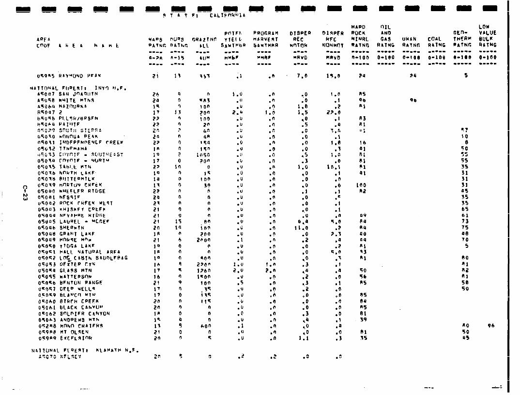
049-5 RA'f"'DND PFbY 21 13
NATT~?NAL F(iQ~9lt INY’3 N.F. AC007 SAN JnA,rJUTN A9;U58 kU]tE MTh.9 nTObU MAZOIJ~IGA t4Toa7 2 b9Uq6 PLL9R/bPSFh k5064 OII’ITF Oe;o?P SnUfn SIEPGA 050~0 md-ttiA PEIK n'5011 INDFPFNnE'JCF CREEK osljt2 lTkc~bf4b 115C~13 ClWnTF - SIIUTUE~ST 05ota rnrnlF - uwTu 05035 Thb1.t HTh( OCSOfb NnhfH LA~~F- OF016 RlJlTEPMlLK
c uSof nnfiTuY CWFkK 05oUO NHEFLFR RlljGE
h) W 05001 NFSSIF
u5002 RfKK rRFE’f UtsT 050u3 RHISKFV CatFF OSOau NFVArRt wlDcE 05005 LAIJQEL - "C6EF OS006 SUERkTN 05OU8 CabhIT LAKF 05009 WlksE nna OCO';O TT6r.A LAlrF 05uKl WALL 'JAlU"At ARFA 05052 Lnt_ CABIN ShDOLFRAG 05053 OFXTEP TYQ 05054 GI.49S MTN OK055 rrbtTEPSnN 0'?0-6 bFNTL)N WANGF O-047 GEE” UELLQ oFO*O 6LAh'CO MT'J O~OhO 8Tkth CPEFK 050611 bLACN CAh"Uh' OSOb2 S’JLPIFR CANYON 050*3 ANWJEw3 MTb 05248 hnhrn CHATFHb oSPA@ MT (?LSEY 059a9 ErcFl..SInR
2h 24 19 17 2? 2? 20 20 22 la 19 17 27 19 10 17 2?
5: 21 21 21 20 Ifi 21 10 1p 10 16 17
:: I7
17
20
20 la 14 13 21 20
a 9
1: n n ? n 9 n ? 0
10 n (I 9 n n n 9
1: ia
n b 9 n n 9 f 9 0 9 0 n 9 0
: 0 9
Nbl TONAL Fl”EqTt K~ANATH N.F. A5070 KFLqEV
P n 1 F 1.. WADS nws r,WAZTNc: Y TEI 1, PATiC
20 5
;I
1.0 . "
2:: .u .u .'J .b .o .'J . 1' .I, .u .o .U .u .U .u .u .u .u .u .c
:: .u .u .'J
1.0 2.u
.u
.5
.u l . u
.b
.b
.@
.U
.l
.o
.u
.2
.n
.n 0
116 .n .fi .n .n .n .o .9 .D .n .a .n .n .9 .? .n .O .n .n .n .n .n .(I .n .n
1.6 2.n
.n
.(1
.?
.n .9 .n .O .n .n .n .n
.E
1s.n
1.0 .I .2
2?.6 .f .Q
3.6 .¶
1 .a .f
1.0 .o
l(r.1 .l .n .b .I .=
:: .n
5.0 .Z
2.3 .a .2
5.0 .q .l .a .o .1 .O .o .d .O .o .l .o
:",
.O
20
A3 Rl -1
16 ai ni 81 ai ai
100 n2
49 no nu 40 04
ni q3 Al
50 56 ns
q7 10
8 50 5s 55 3s 31 31 31 05 35 3s b5 61 73 75 98 70
5
RO fil 82 81 58 50
no 50 0s
Vb
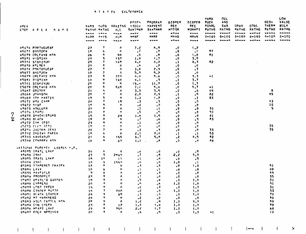
:JATTUNAI. FlEJE9T! LASqtk ".F.
AFU7U A5077 A5079 A5OQl Atlnl HGO70 hqOTU 85077 F5079 C;TO91 ti57nl c5079 U5OhT 35OE(! rt5u(19 05071 04072 u5073 (I507b tJ507a OGU40 35272 d5273 05274 057nI? 04703 o57nu
PWTUGUESF SvrJC’ZFW OQLFAYS Mlk HllS~IAN STS~IVOU KFL'3Ev Pr)kTUcUESc SUCJnZER IJRLFAVS HTN RllfjQIAN SlS'fIVU'J OQLFANS MTN GRInED JmiIlSm4 1nr rAl?lIu unx CAMP hllSF
nWLUFR CQAPU SUACKIEFIJDD PI. Ark Cl!U (FSI FIF' fF9) JACW9 (F9) IWlbrl rQFEr hAF;cAQdn cnk.maFV MT&
A4095 ToAlL LAnF ACUP 19nl b5005 Tf'AlL LArF YcOOb IShT 05OS3 1ThREDED thAlFk OTORlr LAVA OS095 KA\Fl=Lll 05unb Pr)ITlSPFl;t !lcO97 DCVTL’S GAkf’Ek U5UAb CVf’OESj uGO%P L’JST CI’FEK 05000 Clkl\E’J QUTTF 05OQl Bl. Ark CTNPtP O~IJO~ MT uAQrtNESS OqOO3 h?Ln tATTI t *The OCOOU Cl18 C”EFK 05006 HcAQf LAhF OGO07 PnLK !4PQ]N’G!l
QAQS OlJrCS GRAzTNG QATkll QATNI;
7
6 9 5 7 n 7 7 a 0
0
A 4 7
5 7 9 a A 0 II 0 n
7 h h II
h 5
10 h P
b h 0 0 0 0
7 9 0
0 0
0 LI
7.2 .7 .5
1.6 ll ..b
.4 3.6 5.9 6.0 a.1
15.u 761 3.5 2.8 1.3
.3
:: .S
1.0 .7 .I . 0 .3
2.1 b.7 1.1
:5 .I .U
5 .- .I
:: .5 .h .C .z .3 .2
1.2 1.d 2.2
.o
1
PPIJCRAM llARVE9T SA dlWPR
A.0 .7 .Q
1.7 4.7
.? a.3 5.2 5.6
11:; 5.0 3.5 2.1 1.2
.I
.?
.l
.c I .5
.h
.n
.n
.q 7.n 5.a
.a
.I)
.5
.n
.n
.)
.l
.$
.n
.a
.h
.?
.o
.n
.?
.O 1 .a f.7
.G
I
.Q l .Q .o -.Q .l .O .o .o 0.0
1 50 .O
:f .Q .o .o .o ,Q
1: .O l . 0
:i
?Z
.O
21.:
1:: .o .U .O .o
1::
1:: .O
1:: 1.0 1.0
.o
1.2 .1
1.0 3.5 0.3
.O
.3
.n 3.3 3.7 t.7 5.7
.Q
:: .n .@ .O .o
:i .n
0 . .n .I
2.5 .n
T >:9
:: 1.0
.o
.n
.o 1.n 1.n 1.3 1.0 1.0
.O a.n I.0 1.n 1.0
HARD ROCK HINRL RATNG
a7 111
02
-1
30 50 41 n3
33 53 02 A0
-1
B as
03 10
5
35 35
51 40 44
2 31 31 33 70 RO RI3 A8 68 10
I- I
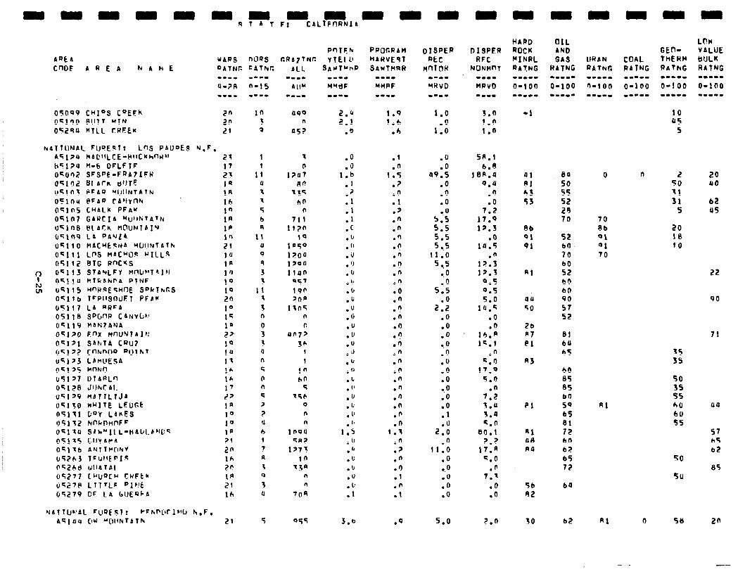
PntFk Aat A UARS was CRAlTN(C vtfl L’ CnDF AREA h A k E DATtir: CAThlr.
05OQ9 CHIDS C”EFh 2n 05l’)O B!lT7 “TN 2n 05294 MTLL CREEK 21
099 n
057
hrblTu~AI~ FUSE~T~ LnS PAODES N.F. A5124 MAL‘IILCE-l4llCKh~H~~ 2s h51?4 n-6 DFLFTF 17 0~002 SFSPE-FRA71FP 23 OS102 111 AT& UtJTE 1s u51tl; E'CAQ 'WINTATN 1R oclno PFAP rALIYnh lb oc;lns CHALK PFAK 10 05107 GARCIA MUllNTATN 1R UslnS @l Arh M@lJNTAIU 1p OC,n9 LA PA'ILA In 0~110 MACUEqNA YtJllNTATk 21 Oqlll LnS MACW? HILLS 1u 05112 BTG RnC*S la
? oc113 9f~hlLFV nnLeIT~l~1 1 ‘1
E QC,jO klkbhl'A PTNF 10 u'i, 15 H"GlsE'GHflE Sf'kTkGS 19 Ocll b T~Pl~S~UFT PFAH zn UC117 LA aRFA 10 051, b swm CANY~~J 15 OC 119 HAN?ANA 10 OC,>IJ F.nX MnUYlAlp! 2J. OclJl SAtrTA CPU7 10 051~2 cnhrnw PuIhr 10 u5L >3 LAnUESA 11 05115 MnNf? 16 051 J7 D7APl.n 16 o5lpB JWCAI. 17 05129 HATlLTJA 2J 05150 h”l7E LEDck In 05111 k”Y LA&ES IO 05132 FJnkPHnFc 10 OC,tU SAk"Il L-liAUl.PN[!~ la 05175 Lily APA 71 OSllb AlrlTllu~~NV 2n lrSZ63 TrlJIICPI~ lh t"GZhd llllbTAl 2p 05277 L”UQCu CuFtk I@ (i5;7P L?TTLF plr!t 21 05279 CF 1.A I1UEQbA 16
7
0 1247
00 13s
ho 0
711 il7n
10 lP50 l?OO 1 YOU lf40
957 19p Jna
11OG n f,
an72 36
1 I
in ho
c 756
0 n n
1094 CA7
lJ7? 10
7.sa n n
704
UAfTU~‘Al FuQEsl? *FhP[lf IW k.F. A’ilUu CfW “C~llruTAlk 21
SAil”OP m--e
MMdF w--w
2.Q 2.1
.*
.O
.Q 1.6
.I .2 .I
:: .C .u . (’ .iJ . ‘J .lJ .I, .b .u .U .Q .U .o .u .d .b .U .L . 1’ .u .u . 1’ . 18
1.S .u .b .L’ .lJ .U
::
3.6
PPOCRAH
HAHVEJT SAWTMRR
1-1w
MMPF
1.9 1.6
.b
.l
.n I.5
.7
.n
.I
.y
.n
.n .n .d .Ir .n .A .n .o .n .n
.n
.n
.n
.n
.n
.n
.n
.n
.n
.n
.n
.n
.n 1.X
.n
.?
.n
.I)
.l
.n
.l
.q
1.0
1::
.Q
.O a9.5
.Q
.Q
.O 0. u
2; 515 5 ..5
11.0 5 ..5
-0 a.0
5 ..5
2:: .O .Q .O -.Q .Q .U .Q .O 0.0 .Q .O .I
2:: .O
11.0 .Q ..o .U .Q .Q
5.0
DISPER RFC
NONHnl --I- MPvb
3.0 1.0 1.0
5R.l 6.8
10n.a 9.4
.‘)
.o 7.2
17.9 12.3
.o 14.5
l?:; 12.3
9.5 0.5 5.0
14.q .o .n
1h.P 15.1
.n 4.1)
17.9 5.n
.n 7.2 s.4 5.0 5.n
80.1 ?.?
17.n G.0
.fl 7.1
.6
.o
7.n
HARD ROCK “INRL RATNG --we. o-ion -w-c-
-1
41 PI 03 53
Ab 01 91
44 50
26 A7 ei
A3
Pl
RI 00 PO
56 02
SO
84 SO 55 52 20 70
52 CO 70
;i 60 bl, 90 57 52
81 64 65
60 85 05
g: 65
2 bn b;? 65 72
64
bZ Rl 0 58 20
0 n
70 Rb 01 01 70
Al
2 50
3: 5
ZO 18 IO
20 40
62 us
22
90
aa
57 b5 b+?
85
- .
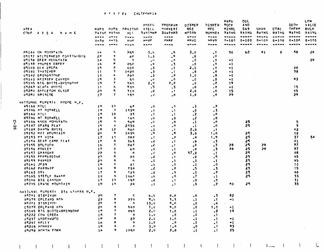
PQEA C'lUF APEA NAME
P5,ou OU “IlllNT4lh 05117 WlLPtQNESS ~ONfTb~~O~lS UqlSB DFEP WIIKfAlN 05119 TuUf’E9 CRFEw 051~0 El I( CRtFh 05141 T~ATCIJER USluZ GPINDRT~NF 05lu3 RFIIPlFR CAkYON 051’15 BlG SIIlTE-SkJIMbnNc 0~269 al-Ark 8lllTE ot2nO SWFLETUN CL4DF 052Rl HRIScr)E
NATTONAL FUPERl! hODW, N.F. A5160 MTLL b57tIb hT RImwELL 85160 BTLI 8570b MT RInHFLL
‘: oe;,ab KNOX ~OllNTAlN h) 05147 sFARS FLAT m OGlO9 D4n’3h bl!lTt
OS152 HAT hI?U”JIAlN f~c;153 YT Vlf?A u4,cLl BEAD CAMP Fl.4T 0515s SnLnlFw 04156 Pncl.EV 05157 GRAWGFR t-15158 PFPRERDIIUF: 05159 PAPKEG 05161 JFSq t-15162 PAR9klP 05163 DQ! 05165 STEFLF SwAhR 051&b BTG CfiNVll~l 0G7n5 CRA’JE kl)U~llAI’d
.p T 4 t Fr CAl.tFf-lUtr’lA
PnTFI- wAc.S MJ’JS GRA2TNT: V1EI.L
NATI~JYAI. FIJQEST! STX hTVcRS N.F. Aq7nl 3fS’fIVUlI 2s U4t~79 ORLEANS Rfh 22 Flc7n1 STSKIV~~II 2= c507V OPLFANS ntrv 2n 051U5 BlG BUTTE-SWlN6ONF 10 oG222 Cow CPEEn 14 7 I? 1.u .O .O .1 05237 UrJDCAUU~D 10 A I?? 2.u 1.0 1 -1 OT2U7 KFllV 16 R n 1.0 .I) l0
:: -1
OS2U6 )rnNKFV 10 R 0 3.0 1.n n3 05250 Nf?rTH FWK 16 0 In50 2.u 2.0
:!I :1 25
PPQCRAM HARVEST SAwThRR
.5
.n
.fi
.S
.I
.I ? .
.n 2.7
.3
.1
.O
.n
.!
.l
.o
.n
.n
.l
.n
.?
:: .l .n .l .I .n .? .I .3
:I
a.0 3.3 n-l-l 0.0 1.0
3.0 0
10
2::
1:: .O .o
2:: 1.0
.3
2 .2 0.1
2:: 3.0
.u
.6 ,O .O
-7.0 .o ,O
:; .O .7
:i
.O .l ,O .o .l
.n
.fi
.o
.n
.n
.fJ
.Q
.o ? .
.n
.O
.I)
.?
.3
.n
.CJ
.n
.fl
.l I.0 1.5
.S
.5
.5
.I
.5
.1
.O
.3
.?
.l
.@
.P
.S
.I
.f+ 1.Q
.Z
30
-1 -1 -1 -1 -1 -1 19 -1 15 F9
28 78
n0
82 -1
-1 19
OIL AND GA9
RATFIb .-ma-
O-100 -m-m-
25 25 25 25 25 25 25 25 25 25 25 25
25
81 0 58 an
I -- I
2n
00 30
R3
15 05 29
5 5
112 10 37 Sa 01 n7 07 48 45 05 10 15 ue 33
.31 35
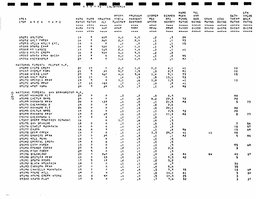
AOE4 CWF A C E A pi A t’ t:
05251 SOL”IFW O52c2 YALT rRFEk 0=2<3 rQLA Ycl~Lv Eyl. os3na BnAPD CAnD 05309 J-T I.AqSIC 05310 P~lPl COEF” oG7n7 wrrv F~RU SMITH u570a P4CwSADnLF
NAlTClNAL FUPE!iT! PLU”4S N.F.
05009 CWIPS CREFB 05167 vl@nLF FoPfl 05168 bllCKs LAKE OqlbP PALf’ Put& Ocl70 GPI7Z!V PFAY 0Sl71 Af’AqS PE4W OF172 I-FST vUR4
~1 NATTUNAI. COREsqT! SAN HFRNAPDlNn ‘J,F, I
h) AS147 IdAYWUnD FIT 4 ATIn CsCTUQ SPfJG
A‘iln9 pvRAhtD PFAk
I55174 CtJCAMnNGA I? b51e7 ClAYwOOD FLT 85198 C4C7llq SPRG 841P9 PVtdAMlO PFAK t’j17U CIICAhnNCA L Ls3n7 SrEFP WW’T4jQ fCnrr941 05175 SAh SFk4Int 05176 ClwCLF [email protected] Ocl77 C4JON 05178 DFEP I-RFEK (ITlAO GDANITE PFAk
05lnl MTLL Rt4rr oclR2 CRYoTAL CREFk 05lS3 ClTv rkFEr u5,au FWSEF CwFEw 05la5 FTSM ?REEK 051 a6 S~~[,ARLOAF n5100 sDITLFR PFAr 05191 SPUTH RTDCC 05102 BLACK HQJN~AI~J 05103 CAPAZ”N PcA’f 05,OU CAtillILLA “UIINTP.1~ 05105 HWSE HTLL oC,O6 HnK9E CPEFk RTDr.E OT3n2 hTXnN FLAT
I --.
2? 2' 20 10 2n 1s 10 17
ICI 1P ia 16
:; 1u 1c 13 2? 22 20 10 17 10 17 I- 1’ 16 17
lr! 0
5 l’,
0
10 0
0 n 0 ? n 9 0 I? 5 5 n 4 5 n n I-! n 0 n
m--w
u.0 2.0
.U 1 .I’ 2.0 lJ ..u (1.0 I.6
2.7 5.7 Q.U
.u 1.1 .7
1.5
.J
.U
.u
.J
.I
.fJ
.u
.J 1.1
.Q
.a
.u . .I
.U
.u
.U
:: .l .b .O
:: .I .Q .@ .u .u
rQl)rtUAM HAUVEST SAUTMRR
0.n 2.0
.n i.n 1 .n 1.n I.0 1.n
1.0 1.5 3.0
.3
.b
.l
.7
.?
.o
.n T . .
.a
.f!
.n
.n
.6
.n
.n l ? .I
b . .n .n .l .l .l .I .fl .I -1 .l .fi .r! .n .n
.2
.l
.O
.l
.O
.2 1
I1
.s
.l
.l s .
.I
.2
.a
.I
1.0 9.3
1.u
1::
:r:
4.1 ?.7 0.1
13.1 1.5
.R
.a
.O b.2
1 l0 .O .l
l . 1
.O
.O
.O
l . 3 1::
,l .o .o .O ..O .o ,a .l .2 .o .o .3 9.6 .S .7
0.1 22.3 21 .s
2.6 2h.l
7.5 11.0
.l
.3
.3
.2
25::: .1 .5 .5 .5
2.0 .3 .b
5.3 3.2
.7 5.0 7.1
lU.1 10,s
7.6
29 23 1s
-1
95 A7
-1 Al 73 43 -1 -1 90
72 RO
72 A0
56 -1 02
nu 42
IS 61 2s 32
-1
10 10 15
10
00 20 5 73
90 70
5 73
7 56 10 57 15 68 00
5 86
55 68 3
JJO 37 5
35 10 UP
s 3Q 3 3 37
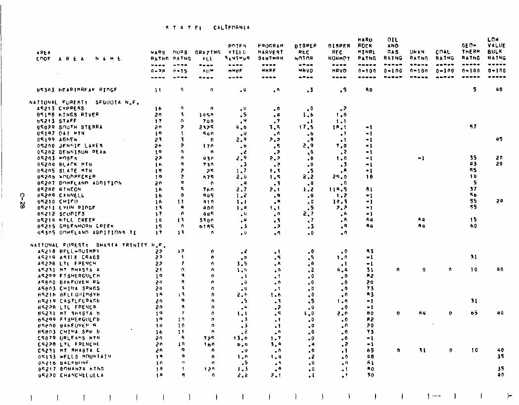
ARta CnDF AREA hAME
1Js3t-13 HEAPl"l?FAK RInGF
NATTIJ’JAL FuWPT: SFOllUTA N.F. A<21 3 CvPREsS ElC108 KTNGS RIVER tt5213 StaFF 05029 snuTcl 91f~RA OGl97 @Al MTN 05199 AGFEk 052nO JFNrilF LAKEs OT202 OFNQXWN QLAK 44203 MnSFs 05204 BLPrK McfN 052nS SLATE HTN OqZnb knlinPFcwED
042tl7 DnMFLANn AL’oltlf’lrc oqzne WllyCON
? ovn9 carw~L
ki 0~210 CwIrn 05211 LVIIN l?IPGF
0521 Z SCN'IFS 05214 kTLI. CRIEK OC215 G“tFNWQN LPEF* oc3ns DmcLANn AUl'ltlnNs TI
P 1 A I F: CALIFnFiYlA
PnlFh
MAaS n0D.s GRAZING: YTEI b
PATNC DATNr,
-‘I-w a->p -II-
11
16 2n I7 2n 1Q 21 2* 10 2, IA 10 10 20 16 16 10 13 I7 14 15 17
NATTONAL FllqESt~ SHASTA TRINITY h’,C,
AC21 8 BFLL-WIMP\ 27
A5219 As1l.E CQAGS 22 AC226 LTl FPE'JCH 22 AC271 MT PHASTA A 21 ~5209 Fltj~ERGllLCH 10 ACenO 6AhFUVEN PG 2 0 A5603 CHINA SPWCS 24 HG,?lb RFLI QllI~~dVh 1Q n<219 CASTLFC‘JAcb 2n dC2>FI LfL FPEQCR 2n t)5,?11 kT Sr4STA b 10 tjC299 FT$UEcG\lLCb 10 dC@nO bAhFW’Eb’ 4 la es803 CYI*‘A SPP b 16 C5079 UQLFI(“S lrfN 20 C52?8 LTL FPtNCM 2n CC211 hl nMASTA C 2n nq113 *FLLS ~Wh'lAI~ 1n oSZl6 BACKWNF in UC217 enNAN7A hlhc. la ~4220 CHA’JC”tlulLA 1p
0
n iu5n
7un 2725
4un 0
170 n
43n 7x0
?C 475
0
760 045 'J I 0 oon auc;
3700 b195
n
0 n 0 n n n n n n n n n n n
72c 160
n 0 n
l?n n
.O
.u
.s
.q a.6
2::: .o .L
2.9 .3
1 ..7 2.u
.u 2.7 1.2 1.1 1.0
.u
:i .U
.2
3:: 1 .(I
.I
.(J
.u 2.b
.s
1:; .J .3 .2
13.0 6.0
.U 1 .,k
.s 1.3 2.2
I
Pql.)cRAM HARVE97 QIWTWRN
.O
.4
.7 3.5
.n 2.P
.5
.? 2.P
z 1:i
1.4 .T
2.1 .9 .*
1.1 .n
7 . . .p .n
.t
.T
.R
::
.n
.I 1.h
.?
.7
.c
.I
.l
.n 1.7 3.4
.n 1.0
.q
.a 2.1
.3 .S
.o 1.6
.l (7.5
.b
.9 2 *9
,O .O .o
2::
0.0 1.2
.O -. 0
2::
a.7 .3 .o
.? 1.0 1.1
1R.I .I .I
7.0 .?
I.0 .3 .A
2f.O .O
11a.5 1.2
19.3 ?.?
.A
.A
.Q
.n
.Q 1.0
.l u.4
.fJ
.o
.O
.o 1.0
.O 2.0
.O
.n
.o
.O
:: .O .a
:I
90
-1 -1 -1 -1 -1 -1 -1 -1 18
43 -1 -1 31 82 20 73 43 -1 -1 80 A2 20 73 -1 -1 65 48 Al RO 30
I
57
us
-1
aa AU
35 43 55 10
5 37 46 55 55
20 20
24
15 60
31
0 0 n 10 (IO
31
0 84 0 65 UO
0 31 0 10 40 35
35 40
1 I --- I I
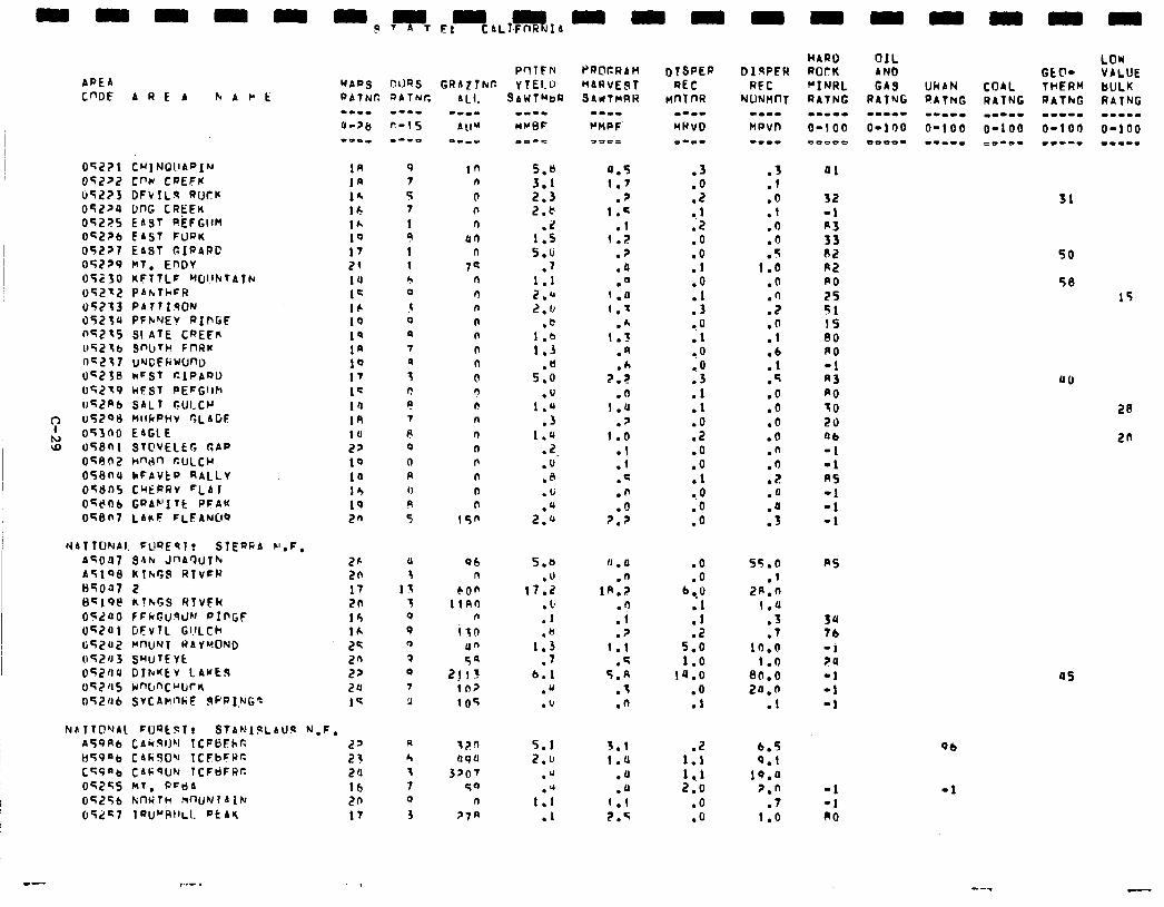
APE4 cm AREA h A r t
0$2?1 CM1 NQllAPIN 1n 04232 cnu CDEFK Ifi (iTLZ3 DFVILR RUtK lk 052ra WG CREEK 16 05225 EAST RkFGlltl lh OS2Zb EAST FURK 10 052?7 EAST GIRARC 17 05729 MT. EnDY 21 05230 KFTTLF ‘Wl.~b~TAlh ia 052-2 PAhrTkFR I= 05213 PA r?IlsON 16 05230 PFhrJEY RIPGF 19 lJT2.15 51 ATE CREFfi 1s UT2tb S"bTk FllRK 1p nc217 uNcE(iww 10 05238 kFQt r.lPAQD 17 o52t9 ClFSf PEfGllh 1C IlSLPb S4LT rtULCCI ia 05208 MllkPHv CLAGE 1R 05300 EAGLE 1U 058ni STC'VELEG GAP 22 own2 wwn CULCW 10 056na kFAVtP RALLY ia own5 CYtiRRv =LA I 13 Oqt!Ob GPAb'l Tt PFAK 19 04807 LArF FLFAWQ 20
h(ATTCJNAI. FUQEST: SlEQab b'.F. d4OU7 SAN Jn4QUfh ASlQ8 Rt)rP,$l RlvfP
85047 2 Bc,Q@ k!hGS RTVFR o<~eo f FkGuwhf PII-GF 052ul GEvTL GI.ILCh tiTZu2 MfIuNT @4YWOND
O’;t?fJ3 SwuTEYt os2ria DYruuEv LAwEb 05245 wnConCWrK t-15246 SVC4r.nkF 9pPI.NGq
.? t AL,%% A Er
PrlTFFl NAPS nuss GRAZT)UC. v1El.u PbTNG ObTNC
2r 2n 17 20 16 lk 2q 26 22 20 1’;
NuaTTC!'Jbl FUQtsT! S?AMI$LAUS N-F, A591\b CAciSl)M TCFBfhr. 2' C)qqab CAkJO" 1CFbFWr. 21 Cqq'b CAFSIIN TCFdFRr. 20 05255 MT, PFtlA lb
05256 kncilh nnuNlAlN 20 052s7 IQlJ~AIILl. pt4lc 17
e--m
n-15 M--O
9 7 5 7 1 L! 1 1
r, 0
J 0 P
7 9
3 0 I
7
P 0
0 R I) R 5
11 3
13 3 0 P 1 3 0
7 3
R h
t 7 0
3
8AWTMOa
tn n
0 I, n
or) n
7s n n n n n
n n
0 9 n n n n P n 0 n
15n
5.6 3.1 2.3 2.5
.2 I.5 5-u
ml 1.1 2-U 2.0
.c 1 .b 1.3
.C 5.0
1::: .3
1.4 -2. mu .A .ti
2::
06 5.0 n mu
6OP 17.2 IiRn . 18
n .I ix0 .b
Un 1.3 5q .7
2!13 6.1 lfl> l u 105 .b
tl?n 4qU
3po7 50
n
?7A
5.1 2.b
.d
1:; .I
=*0=
4.5 1.7
.? 1-q
.I 1.2
.?
.a 0
(4 1.t
.h 1.3
.a
2:: .n
1-u .z
1.0
:1 .4 .n .O
2-p
.3
.o
.2 1
12
.O
.o
.I
:; .3
-.o .l CO
5
:t .O .2 .o .o ml ,O .O .Q
::
:! .Q .I)
5 1:iJ
.fl
::
:;
:t .q .Q .Q .o .O .n .fl
? . .a
::
u . u
1n:;
11 .?
1.1 .5
5.R .t .n
.O
.O 6.0
; 1
:: 5.0 1.0
IQ.0 .o .l
55.0
ml 2R.n
1.0 .3 .7
10.0 1.0
80.0 20.0
ml
3.1 .2 6.5 1.4 1.1 0.1
.a 1 ., 1 19.4
.JJ 2.0 P.” 1.1 .o .7 2-q .o 1.0
HAP0 OIL ROrK AND "INRL GAS WAN RATNG RATNG PATNG m-11- -I-m- ----w 0-100 O=lOO 0-100 =oooo me**- =vnt=
ai
32 -1 R3 33 A2 R2 CO
25 51 15 80 RO =l R3 PO t0 20 ob -1 -1 A5 -1 -1 -1
R5
34 76 -1 20 -1 -1 -1
=I -1 00
Qb
-1
GE@= COAL THERM RITNG RATNG mm=-. m-m-m O-100 O-100 co-=- IIC-W
LOW VALUE BULK RATNG m-m.-
0-100 c-1-.
31
50
58
15
a0
28
2n
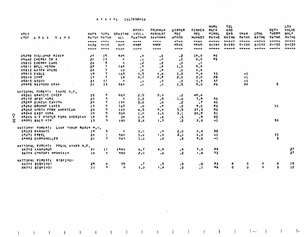
05258 TIIULLWNF PIVER 20 15 oqab2 CHERfiv CR A zn 13 05610 CHERRV LAKE R OSCiIl BFLL “EnOr s; 7 OTf!!Z kAffR HlWJk 20 7 Oq813 CAGLE 1Q 7 05614 DWE 17 7 05815 NIGHT 21 II 059nS RAYMONO FFAK 21 13
NATIUNAL FOREPT: TArnE k.F. A5261 GRA~‘lTt CHIEF 23 9 OSl72 NFST vuarr 20 3 05259 DIJKCAN CAIJYClN 21 3 o?r260 GWJSF LAKES 13 0 Oq2b2 knRTH FnRY AMFRTCAN 20 3
‘: o5ZbP EAST VURA 1Q Q oS2b5 N F nT0nLF FORIt AMERICAN IR Q
W 0 05991 8ALO WIN 13 Q
NATTONAl ~O~EIPT, L4KF TAIJUF OA.sI”J ‘“.lI. 05023 PVRLmlD 10 5 051?71 FQEtl. 2n 1 059K2 DARnAYELLES 21 ?
NA1TOMAL F'U')EqTt PntlJt H(1V?P N.F. oh703 kAtdCAQU0 31 II 067t?U C~kDWfV HnUNTAJN 16 r,
NATTW'AL FORESTI STSF1VUll Ah?01 SIS~IVO’~ 2s b Bb701 Bls’fIvOrl 11 9
1?5 .a .Q n .ir .n n .Z .F
itIP .9 .Q 10 .b .‘I
163 4.5 0.1 la 4.7 7.”
n 0” .n rftn .L’ .n
55’ n
j7n 1 b7 in6 zon
20 150
2.5
::: .b
6.5 1.e 1.b 2.2
0 100 inn
75 n
1.5 1.0 1.u
iJ . . f 2.6
.I 1.5
?.r) .Q .(I .q
5.0 1.u
.h I.7
.n 1.n
.n
a.5 .4
.5 1.n
.2 -.O
1::
1:: 2.0
1::
1:: .2 .O
5.5 3.1
:3
2.0 2,O
.o
::
.O
.o
4A.h 7.R
.‘I Q.h
27.3 2n.n
.Q 2.0
0.0 4.0 Q.0
7.0 R9 27 1.0 73 27
QO 40 RO a2 91 02 -1
ES -1 -1
QJ Qq
-1 -1 -1 24 S
10
50
10 5
0 0 n 0 15 0 0 n 0 10
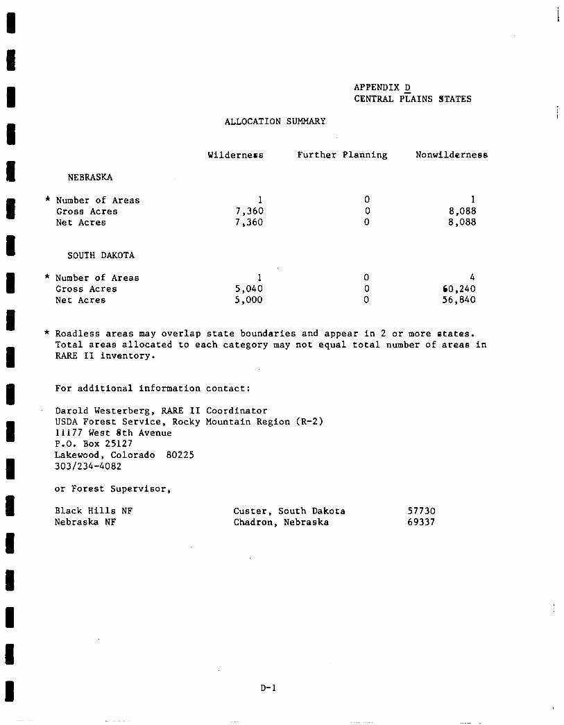
APPENDIX D CENTRAL PLAINS STATES
ALLOCATION SUMMARY
Wilderness Further Planning Nonwilderness
NEBRASKA
Number of Areas 1 0 1 Gross Acres 7,360 0 8,088 Net Acres 7,360 0 8,088
SOUTH DAKOTA
Number of Areas Gross Acres Net Acres
1 0 4 5,040 0 CO ,240 5,000 0 56,840
Roadless areas may overlap state boundaries and appear in 2 or more states. Total areas allocated to each category may not equal total number of areas in RARE II inventory.
For additional information contact:
Darold Westerberg, RARE II Coordinator USDA Forest Service, Rocky Mountain Region (R-2) 11177 West 8th Avenue P.O. Box 25127 Lakewood, Colorado 80225 303/234-4082
or Forest Supervisor,
Black Hills NF Nebraska NF
Custer, South Dakota 57730 Chadron, Nebraska 69337
D-l
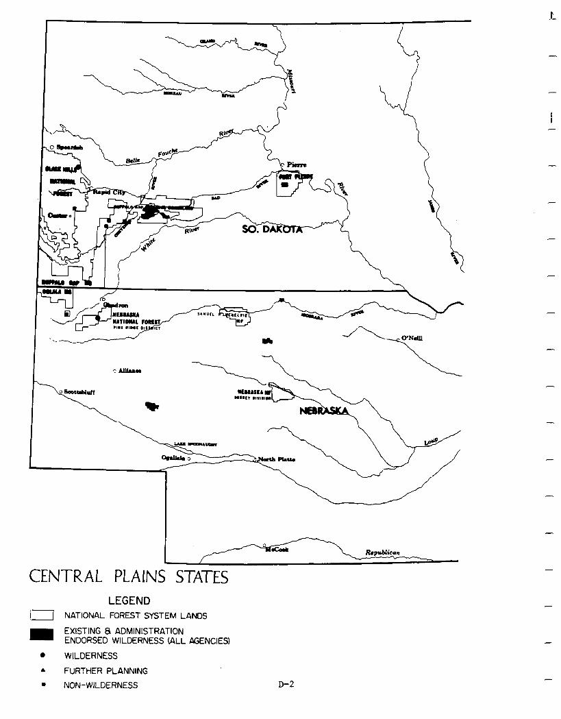
f .-
CENTRAL PLAINS STATES LEGEND
11 NATIONAL FOREST SYSTEM LANDS
m EXISTING 8 ADMINISTRATION ENDORSED WILDERNESS (ALL &ENCIES)
0 WILDERNESS A FURTHER PLANNING
. NON-WILDERNESS
-
-
D-2
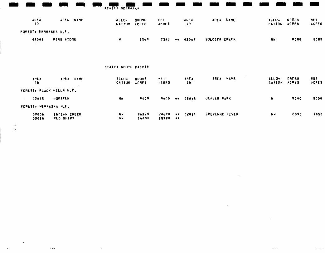
AQEA Apt A NAMF TD
FORESTt NEQRASKA N-f,
02001 PINE hTDGE
ALLO- GaoSS kFT ARFA ARFA NAME ALLU- GROSS NET CAlrUN ACRFS ACRFS ID CATION ACRES ACRES
Y 13bQ 7360 *a 02OOF SOLD!fR CPEFK NW 808e 8088
STATF: SfWTH DAKnTA
AREA TD
APtA NAHF
FORE91, RLACK HILL9 N.F.
O.?OlS NURBFCK
IOPEST t NERRASKA N.F .
OZOOb f NOIAN CREEK 02010 BED JhTRT
ALLn- GROSS b*FT ARFA ARFA NAME CATTUN ACRFS ACRFS 10
NW 9400 oaf)0 l * Ok?b!b tlEAVtR PARK
NW NU
26270 2Ob70 l * OZbll CHEYENNE RIVER 1 bO80 15720 l *
ALLO- GROSS NET CATfclN ACRES ACRES
w 5040 5000
NW 8090 7090
P ”
- Social. Designation of Norbeck, Indian Creek, Red Shirt, and Cheyenne River as nonwilderness will provide for motorized recreation opportunities desired by South Dakota residents. Wilderness designation of Beaver Park, however, will preclude motorized use in this area. Analysis indicates that no other significant social -
effects are perceived to result from implementation of the proposed alternative, either in South Dakota or Nebraska.
Economic. -- A summary of economic impacts for the proposed action is presented in the following table. These are national impacts and may or may not occur in the state specified. All state impacts are allocated from the national totals and are based upon state resource changes. Theyare the state's contribution to the national impact. For a complete description on how the impacts were calculated see Appendix w.
-
-
-
-
-
-
-
D-4
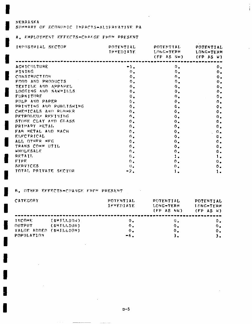
I A. EMPLOYk’EKT KFFECTS-CHAsGF F’l’Pu PRE:SENT
Thrr’!lSTRI AL SF:CTOf? PCITE:NTI AL POTF:F’TTAL PflTENTIAL Tf~UEDIAl’F L,fltuG-TE:PP LONG-TERM
(FF AS NW) (FP AS WI ---------------------------------------------------------------------
I I I I I I I I
AGR TCIJLTURE -1. VININC 0. CnIr:STQlfCT~(l~d 0. Fnr)D AN@ PRODUCTS 0. TEXTIl,E ArJl7 AwDFtI’EL 0. I,I~GCING 4NJ.l SAW~Il~I,S 0. FUPN I TllQF 0. fJl.lLP AYD PAPER 0. PRIrJTTruG AYO PUBJ.~TStiING 0. CHF,‘dICAtS ArJI) RlihHC:R 0. PF.TRfllnr;:~J? REF’T Y J rJI; n . STOFJF: CLAY Ph.!11 GTSASS 0. PRT!,‘AnY MPTAI, a 0. FAR METAL ArJD MACH 0. El,FCTR ICAL 0. ALI, fJTMFR MFC; 0. TRANS CpMv 1JTIL 0. WHOLESALF fl. RETAll, 0 . FTPF 0. SFXVTCES 1) . TnTAT, PPTVATC, Sk:C’i’lIR -2.
CATEGORY PO'I'FNTlAL
0. 0. n. n . 0. 0. 0. 0. 0. 6. 0. 0. 0. 0. 0. 0. 0. 0. 1. 0. 0. 1.
0. 0. 0. 0 . 0. 0. 0. 0. 0. 0. 0. 0. 0. 0. 0. 0. 0. 0. 1. 0. 0. 1.
POTFNTYAL l.CING-TERM
I IY~FI!IAl’E tC?wG-TERM
(FP AS hrW) (FP AS W) ----1-----~---*---1--------------------------------------------------
I nllTPllT T m: c n )*r F: ( ($~JTT,l.lInIJ, s Y T I., 1, I u N ) 0. 0. 0. 0. 0. 0.
VALUE AT)lJED (SYTLLION) 0. 0. 0. I POPULATII-JN -6. 3. 3.
D-5
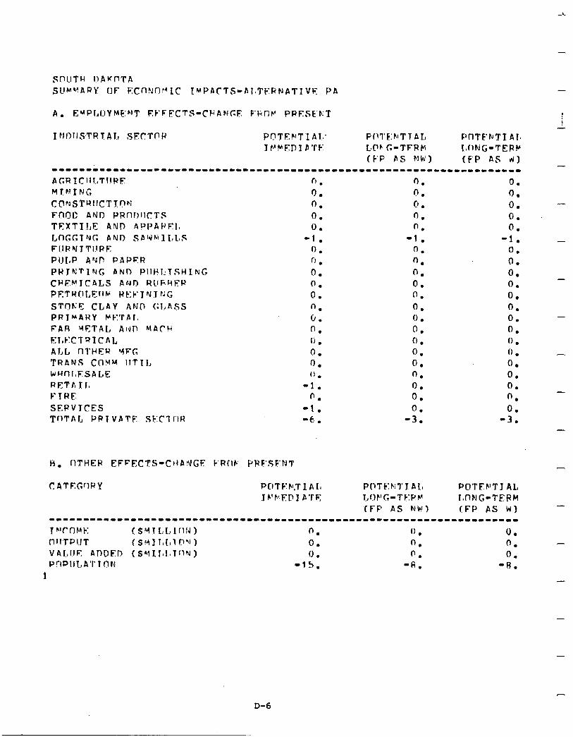
-
C’ . 0. 0. 0. 0.
-1. 0 . n . 0. 0. 0. n. 0. 0. (i 0: 0. (1.
-1. 0.
-1. -6, .
C ATEGrlRY PCITF’FI.TIAL I P’FED I PTF:
0. 0. - 0. 0. 0. -
0. 0 . 0 . 0. 0. 0. 0.
-
0. -3.
-
POTF.h’Tl AL l,nFJG-TERM (FP AS WI
-----------1-1------------------------------------------------------- r*‘c OMt-: ( SY 1 L.1, lclrd) 0. ” 0. . I-i~lTPIJT ( s H I 1, I., 1 0 ‘1 ) 0. 0. 0. V41.,IIE ADDED (SYIJ,l.~lf~%) 0 . (’ . 0. P!-IPIJL,A’I’?ON -15. ‘6. -8.
1
-
-
-
-
D-6
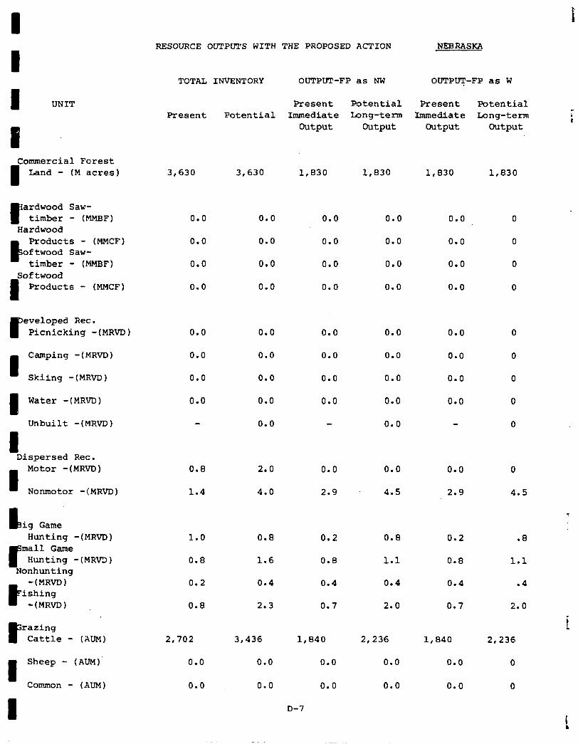
I RESOURCE OUTPUTS WITH THE PROPOSED ACTION NEBRASKA
TOTAL INVENTORY OUTPUT-FP as NW OUTPUT-FP as W
I UNIT Present Potential
Commercial Forest
I Land - (M acres)
r ardwood Saw- timber - (MMBF)
Hardwood
6
Products - (MMCF) oftwood Saw-
timber - (MMBF) Softwood
I Products - (MMCF)
P eveloped Rec. Picnicking -(MRVD)
Camping -(MRVD) 0.0 0.0
Skiing -(MRVD) 0.0 0.0
1 Water -(MRVD)
Unbuilt -(MRM) 0.0
I Dispersed Rec.
I
Motor -(MRVD)
Nonmotor -IMR~D)
I.3 ig Game Hunting -(MRVD) 1.0 0.8 0.2 0.8 0.2 .8
Hunting -(MRVD)
-(MRVD) ishing
-(MRVD)
F razing Cattle - (AUM)
I Sheep - (AUM)'
Common - (AUM)
3,630 3,630 1,830 1,830 1,830 1,830
0.0 0.0
0.0 0.0
0.0 0.0
0.0 0.0
0.0 0.0
0.0 0.0
0.0
0.0
0.0
0.0
0.0
0.0
0.0
0.0
0.0
0.0
0.0
0.0
0.0
0.0
0.0
0.0
0.0
0.8 2.0 0.0 0.0
1.4 4.0
0.0
2.9 4.5 2.9
0.8 1.6 0.8 1.1 0.8
0.2 0.4 0.4 0.4 0.4
0.8 2.3 0.7 2.0 0.7
2,702
0.0
3,436 1,840
0.0
0.0
0.0
0.0
0.0
2,236 1,840
0.0 0.0
0.0 0.0
Present Potential Present Potential Immediate Long-term Immediate Long-term
Output output Output Output
0.0
0.0
0.0
0.0
0.0
0.0
0.0
0.0
0
4.5
1.1
.4
2.0
2,236
0
0
D-7
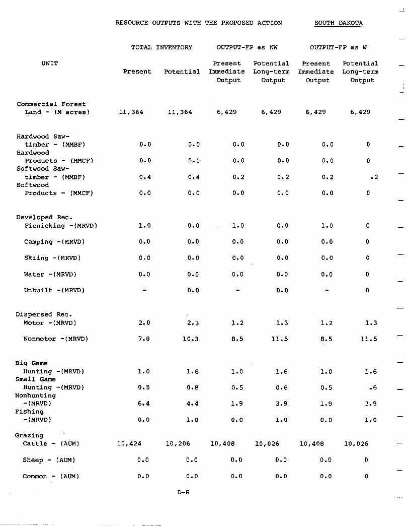
UNIT
Commercial Forest Land - (M acres)
Hardwood Saw- timber - (MMBF)
Hardwood Products - (MMCF)
Softwood Saw- timber - (MMBF)
Softwood Products - (MMCF)
Developed Rec. Picnicking -(MRVD)
Camping -(MRVD)
Skiing -(MRVD) 0.0
Water -(MRVD) 0.0
Unbuilt -(MRVD)
Dispersed Rec. Motor -(MRVD)
Nonmotor -(MRVD) 7.0 10.3 8.5 11.5 8.5
Big Game Hunting -(MRVD)
Small Game Hunting -(MRVD)
Nonhunting -(MRVD)
Fishing -(MRVD)
Grazing Cattle - (AUM)
Sheep - (AL&¶)
Common - (AUM)
RESOURCE OUTPUTS WITH THE PROPOSED ACTION
TOTAL INVENTORY OUTPUT-FP as NW OUTPUT-FP as W
Present Potential Present Potential Present
Immediate Long-term Immediate output output output
11,364 11,364 6,429 6,429 6,429
0.0
0.0
0.0
0.0
0.4
0.0
0.0 0.0 0.0
0.0 0.0 0.0
0.4 0.2 0.2 0.2
0.0 0.0 0.0 0.0
1.0 1.0
0.0
0.0
0.0
0.0
0.0
0.0
1.0 0.0
0.0 0.0 0.0
0.0 0.0 0.0
0.0 0.0 0.0
0.0
2.0 2.3 1.2 1.3 1.2
1.0 1.0 1.6 1.0
0.5
1.6
0.8 0.5 0.6 0.5
6.4 1.9 3.9 1.9
0.0
4.4
1.0 0.0 1.0 0.0
10,424 10,408 10,026 10,408
0.0
0.0
10,206
0.0
0.0
D-8
0.0
0.0
0.0
0.0
0.0
0.0
-!
SOUTH DAKOTA
-
0
.2 -
0 -
Potential _ Long-term
Output
-
6,429 .-
0
0
0
0
0
0
1.3
11.5 -
-
1.6
.6 -
3.9
1.0 -
10,026 -
0
0
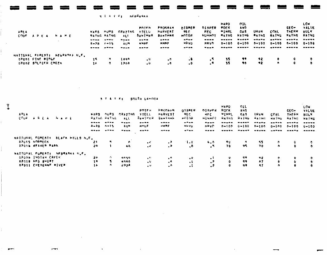
WARD OIL LOlrl
FI snulw bbnnT4
n .c .$ Oh .i .p
1.0 .a
h.0 .T
00 70
n 05
55 70
0 n
0 0
3 0
9q 99 91
un5n .I: .n rnnrl .b .n 2,za ." .n
.O
.l
.1
.l
.?
.z
0 0 0
Qa R? 81
0 0 6 0 0 0
,-. -

-
I -
-
-
-
-
-
-
-
-
-
-
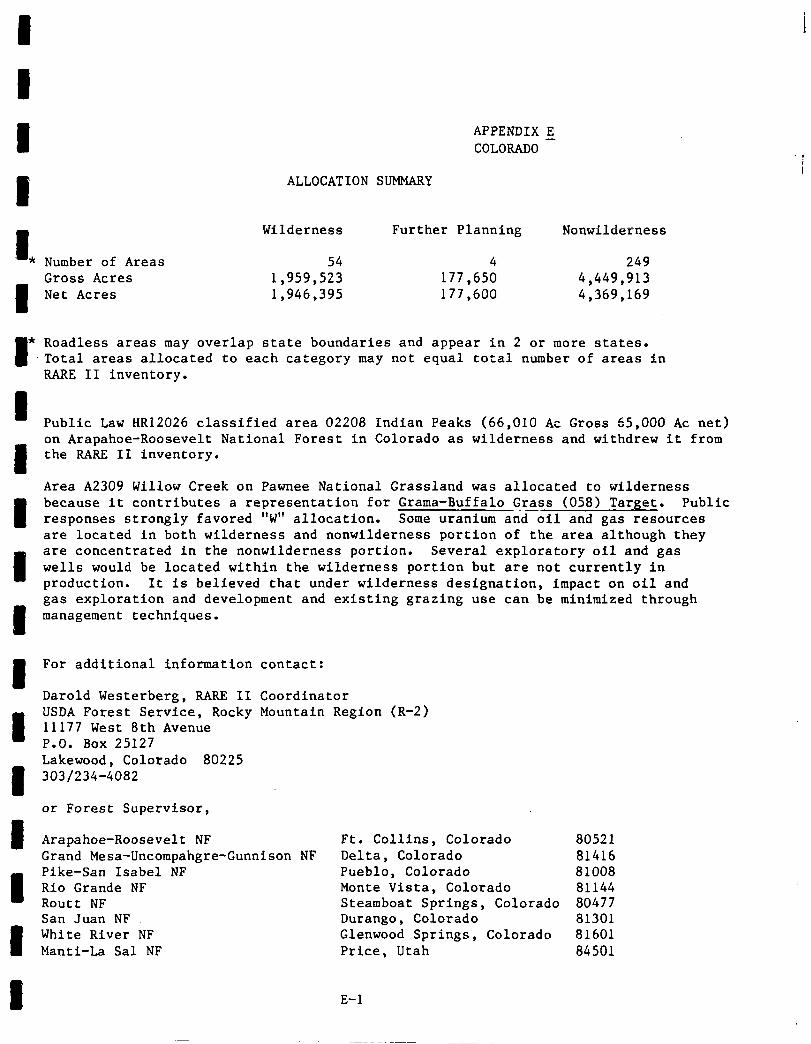
I I 1 APPENDIX 5
COLORADO
1 ALLOCATION SUMMARY
I
Wilderness Further Planning Nonwilderness
* Number of Areas 54 4 249 Gross Acres
1 Net Acres 1,959,523 1,946,395 177,600 177,650 4,449,913 4,369,169
* Roadless areas may overlap state boundaries and appear in 2 or more states. Total areas allocated to each category may not equal total number of areas in RARE II inventory.
Public Law HR12026 classified area 02208 Indian Peaks (66,010 AC Gross 65,000 AC net) on Arapahoe-Roosevelt National Forest in Colorado as wilderness and withdrew it from the RARE II inventory.
Area A2309 Willow Creek on Pawnee National Grassland was allocated to wilderness because it contributes a representation for Grama-Buffalo Grass (058) Target. Public responses strongly favored "W" allocation. Some uranium and-oil and gas resources are located in both wilderness and nonwilderness portion of the area although they are concentrated in the nonwilderness portion. Several exploratory oil and gas wells would be located within the wilderness portion but are not currently In production. It is believed that under wilderness designation, impact on oil and gas exploration and development and existing grazing use can be minimized through management techniques.
For additional information contact:
Region (R-2) Darold Westerberg, RARE II Coordinator USDA Forest Service, Rocky Mountain 11177 West 8th Avenue P.O. Box 25127 Lakewood, Colorado 80225 303/234-4082
or Forest Supervisor,
Arapahoe-Roosevelt NF Grand Mesa-Uncompahgre-Gunnison NF Pike-San Isabel NF Rio Grande NF Routt NF San Juan NF White River NF Manti-La Sal NF
Ft. Collins, Colorado 80521 Delta, Colorado 81416 Pueblo, Colorado 81008 Monte Vista, Colorado 81144 Steamboat Springs, Colorado 80477 Durango, Colorado 81301 Glenwood Springs, Colorado 81601 Price, Utah 84501
E-l
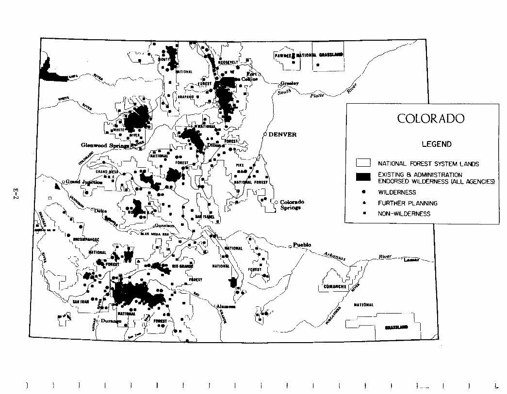
c A P
DENVER
COLORADO
LEGEND
I NATIONAL FOREST SYSTEM LANDS
m EXISTING 8 ADMINISTRATION ENDORSED WILDERNESS (ALL AGENCIES)
0 WILDERNESS
A FURTHER PLANNING . NON-WILDERNESS
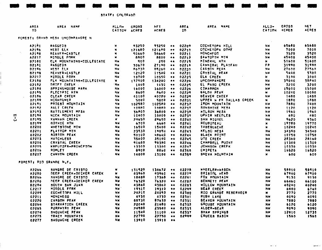
STATE: CnLflRAD@
AREA AREA NAMF ALL- GROSS hET AREA TD CATION ACRES ACRFS ID
FUREST, GRAND MESA IJNCOMPAWGRE N
A2lbl AZlPb AElq8 A2217 BZl80 BZlKl 82lQb BZlQ8 02217 E218o 02182 0218U 02lRS O?l@b OZlRV 02191 OZlQ2 02193
m c!J
02194 021QS 02190 02200 02201 02202 022n3 02204 02205 022Ob 02207
RAGGED9 w WE91 ELK r REAVFR-CASTLE w MIDDLE FORK w ELK hOUhtATN9-COLLEGIATE NV4 RAGGED9 NV4 WEST ELK NW REAVFR-CASTLE NW MIDDLE FORK NW fLK hOUhlAThs=COLLEGIATE w DRTFT CRELK .Nw 9PRIh’GHfJUSE PARK Nk FLECTRTC HTN NW CLEAR CREEK NW HIGHTUhER Nk PRIEST MOUNTAIN NW SALT CREFK NW RATTLEhENT hFSA NW NICK MOUNTAIN NW KANNAli CREEK Y COTHTC HTN NW WHETSTbNE hTN NW FLATTOP MTN NW 909Tnh PEAK Nk HATCHLESS NW CRYBTAL CREEK NW KREUTZER-PRINCETON NW ROnLET NW CANYOh CREEK NW
FORESTI RIO GRANDE h.f.
A22bb SANGRE DE CRTS10 A2280 DEEP CPEEK.DFCKER B226b. FIANGRE DE CRTSTO 02280 DEEP CREEK-DECKER 82204 SOUTH 9AN JUAN c2217 MIDDLE fnRK 02209 COCHETOPA HILL 02211 MONCHEGO 02220 CARSON PEAK 022ba STARVATION CREEK 02265 PURfHYRT PEAK 02274 SACUACME PEhK 02275 TRACY MOUNTAIN 02277 SAGUACHE CREEK
CREEK
CREEK
03250 lZlb80
50660 8000
500 50670 A6730 12120 10700
117900 la00
lb000 8600
ail00 5000
102580 t ouao
::o”:: 29650
b700 16SOO 23530 so100 15600 91680 13300
8900 iaooo
93250 12lbP'O
5fJbbO 88OU
250 27100 85260 11sao 10550
i 30200 1930
16000 ebn0
~018V 5000
1 OZS80 10860 36800 loaoo 2Qb50
6660 15900 lQ85U 4Ab4.o 35100 Qo3eo 13300
8860 13100
W 131520 13Obl2 W 0396‘0 93960 NW 18480 17368 NW Tb320 lb320 NW a38bO a3860 NW’ 19310 19310 NW 29210 20050 NW a730 a730 NW 88730 87630 NW 22040 21rao NW ?a580 ZSSQO NW i 1500 11100 NW 2275’0 22750 NW i3e10 11010
022OP 02210 0221! 02212 02215 022lA 02220 02221 02223 0222o 02225 02226 02229 0222p 02231 0223? 02?37 0223K 02239 022aq 02201 022a2 022u3 02240 02205 022Ub 02247 02358 02359
02279 WHEELER-WASON NW 58910 58910 02270 BRIsTnL HEAD NW 67900 67900 02281 FOX HnuNTAIN NW 9130 9130 02282 BENNETT PEAK NW 66460 bb100 02283 WILLOW MOUNTATN NW a0200 00240 02290 CIEAR CREEK NW b900 6740 02300 RIO GRANDE RESERVOIR W 2770 2770 02303 RUBY LAKE NW 0090 0000 D233! BEAVER MOUNTAIN NW 7880 7880 02332 GROUSE MOUNTAIN NW 6120 bl20 02533 ALDER-8EAR NW 9090 PO00 02337 SHAW SPRINGS NW 12010 12730 02099 CRUCES SASIN NW 1560 lSb0
AREA NAME
COCHETOPA HILL CDCHETOPA OnnF HONCt4EGO SAwTOirTH WTN MINERAL HTN CANNIBAL PLATFAII CARSON PEAK CRV9TAL PEAK ELK CPEEK UNCOHPAMGRE EL PA90 CREEK CIHARRON HALDr PEAK BEAVER CREEK UPPER k fK DALLAS CREEK IRON MOUNTAIN SUN9HlNE HESA WILSON MESA UPHIR NEEDLES SAN HIGIIEL ROuRInEAu TABEGuACHE KELSO MESA DLACK PflINl UTE CREEK CAMPBELL PUINT iM;; CREEK
WEVA MOUNTAIN
ALLO- GROSS NET CATInN ACRES ACRE9
NW NW NW NW
FP NW NW W NW NW NW W NW W NW NW hY hW NW W W NW NY NW NW NW NW W
b5bbO 65680 7000 7000 3520 3520
a5900 45400 SlbOO 51600 31900 31990 27600 275bO
5uao 5300 5100 3000
39090 388410 3200 3700
1sooo 15000 iozao 10080
1080 la80 1880 1880 7880 7400 1120 I120 1960 19bO
A80 A80 Rb20 P3bO
10780 19770 10200 102uo 30390 34340 10750 10750 283bO 281b0 11300 11300 10330 10330 16520 lb520
600 bO0
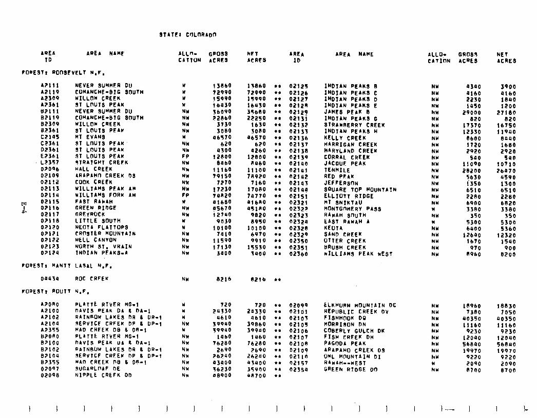
STATE: CrJLtM?ADtl
AREA AREA MARS ALLn- GPoSg WT AREA ID CATTON ACRES ACRES ID
FORESTI ROOSEVELT N.F.
A2111 A2119 A2309 A2361 B?lll BP119 82309 a2361 c21os CT361 DZ361 E2361 LE357 Or096 02109 OEllZ OE113 02114
m 02115 A 02116
02117 or118 OZlZO O?l?l 0?122 02123 0?124
NEVER SUYMFR Du COMANCHE-BIG SCIUTH HILLON CREEK ST LflUTS PEAK NEVER SUMMER Du COWANCWE-8IG SOUTH WILLOW CREEK ST LOUIS PEAr MT EVANS ST LWJTS PFAU 91 LOUIS PEAK $1 LOU19 PEAW sTRiTGwi CREFK HALL CREEK ARAPAHD CREEK DS COOK CREEK WILLIAMS PFAK AM wILLIAWS FORK AH FAST RAhAH GREEN RIDGE ctRElROCK LITTLE SOUTH NEOTA FLATTOPS CRRiIER HOUNTATN HELL CANYON NORTH ST. VRAIN TNDIAN PEAKS-A
w w w w NW NW NW NW w MU Yk Ff NW Nh NW NW NW FP w NH NN Y w NY Nk NW NW
13SbO 13860 12990 72990 ys990 lS990 16030 16US0 36090 3T680 ZZRbO 22250
3730 1630 3080 SOCIO
06570 U6SlO 620 620
4500 0260 1ZFOO 12800
Be60 RUbO 11160 11100 19150 78920
7210 1160 17230 110RO 14RZO 79710 01680 dl6R0 05670 UflPO 12~~0 G&O
9030 8930 10100 10100
7010 6910 11590 9910 17130 15530
3000 3uoo
FOSESTI MANTT LASAL Y,F,
00434 ROC CRFEK NH SE16 OZlb
FOFESTt ROUTT ‘J.F. A?ORO PLATTE RTVER HG-1 w 120 A2100 I-IAVIS PEAK DA I DA-1 Y 24330 AZ102 RAINKOW LAKES OR 0 OR-1 W 4610 A2104 FERVICF CREEK DP 8 DP-1 NW 399uo A2355 IWAD CRFEK DE 8 OR-1 Y 39940 82090 PLATTE RIVER KG-1 NW 14bO B?lOO DAVIS PEAK UA t DA-1 NN 76280 82102 RATNBUW LAKES OR 8 OR-l NW 2690 B?lOU SERVTCF CRFEW DP 8 OF-1 NW 76.240 82355 WAD CREEK D0 8 OR-1 NW 03900 02097 SUGARLDAF DE NW 36230 02098 NIPPLE CREFK DD NW a8900
120 20350
4610 39860 599ao
1460 76280
7690 262UO us400 35900 Ull700
I I I I J I I 1 I
AREA NAME ALLOY GROSS NET CATION ACRkS ACRES
02125 INDIAN PEAKS 8 NW qsqo 3900 02126 INDIAN PEAKS C NW 0160 4160 OZll?l INDIAN PEAKS D NY 2230 18rrO 02120 INDIAN PEAKS E NW lOSO 1200 02129 JAWS PEAW s hN 29000 27180 02131 INDIAN PEAKS G NW 820 820 02132 STRAWRERRY CREEK hw 17370 16750 02133 INDIAN PEAKS w NW 12330 11940 02136 KELLY CREEK NW 8600 0auo 02137 HARRIGAN CREEK NW 1120 1680 021;a NARYLAND CREEW NW 2920 2920 02139 CORRAL CREEK NW 500 580 02140 JACQUF PEAU NW 11090 to110 02141 TENWILE NW i?ai!oo 26470 flZlcr2 RED PEAK NW 5630 us90 02143 JEFFERSON NW 1350 1300 021lJy SGUA’RE TOP WOUNTATN NW 6510 6510 02151 ELLIOT7 RIDGE NW 2280 2280 02321 HT SNIKTAU NW 6900 6820 02522 HONTGnnERY PASS w 3380 3380 02323 RAwAn SflUTH NW 350 350 ozszo LAST RAWAH A W 5300 5300 02328 KEUTA NW 6400 5360 oasz9 SAND CREEK NW 12600 12320 023so UTTER CREEK NW 1610 15uo 023sj BRU8H CREEK NW 910 900 02360 kILL1AHS PEAK WEST NW 8960 8200
02099 ELKHuRN MOUNTAIN DC 02ldl REPUBLIC CREEK Dv 02105 FISHHDOK DO 02109 MORRISON DN 02106 COBERLY GULCH OK 02107 FISH CREEK DH 021OA PAGODA PEAK oz1og ARAPAHO CREEK 0.9 021 In OWL MOUNTAIN 01 02157 RAWAH--WEST 02354 GREEN RTDGE DO
NW ls9bO 18830 NW 1380 7050 NW 90350 uo350 hW 11160 11160 NW 9250 9230 NW 12040 12040 hw SbBU0 568440 NW 19970 19970 hW 9220 9220 W 2090 2090 NW A700 8700
I I 1 ,-
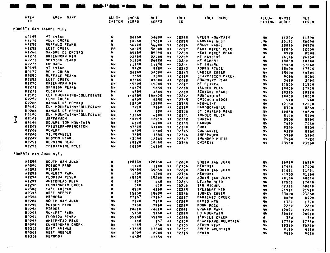
AREA ID
AREA hAHF
FORESTt 9AN ISASEL N,F.
A2145 “T EVANS AZilo HOLY CROSS A?ZSO RUFFALO PEAKS A;?ZSZ LO9T CREEK A2266 SANGRE DE CRISTO A2270 GREENHORN WIN A2271 SPANISH PEAKS A2273 CUCHARA BE145 MT EVANS 02110 HOLY CROSS BZ250 RUFFALO PEAKS Be2252 LO91 CREEK 02270 GREENHORN MTN B22Tl SPANISH PEAKS 02273 CUCHARA. czieo ELK MKJNTAINR-COLLI?GIATE
-CZZSZ LOST CREEK C?Zbb 0.2190
SANGRE OF CRISTO ELK MOUNTAIN9-COLLEGTATE
D2266 SANGRE DE CR1910 FZlAo ELK MOUNTAINS-COLLFGIATE 02143 JEFFERSON 02144 SGUARE TOP MOUNTAIN 02205 KREUTZER-PRINCETON 02206 ROMLE V OZZlJ8 SILVERHEELS 02209 WESTON PEAK oz251 RURNING REAR 02253 THIRTVNINE MILE
FOREST, SAN JUAN N.F.
A2280 SOUTH SAN JUAN W 128’736 AZ290 POISON PARK w 1100 AZ292 PIEDRA Y 39650 A2293 RUNLETT PARK W 1200 A2294 FLORIDA RIVER r( 15200 A2297 WHITFHEAD PEAK Y 600 A?298 CU”JNIkGHAm CREER W 040 A2302 FAST ANIMAS W YSOO A2303 WE91 NEEDLE W 15650
.A2306 HERHOBA W 11167 82214 SOUTH SAY JUAN NW 1140 02290 POISON PARK NW 7966 02292 PIEDRA NW Tub10 02293 RUNLETT PARK YW ST30 02294 FLORIDA RIVER NN 15180 82297 WHITEHEAD PEAK YW 160 02ZQ8 CUNNINGHAH CREEK MN 1260 82302 EAST ANIMAS NW 1 SOP0 8?303 WEST NEEnLE NW 0900 02306 HERHOSA NW 10354
ALLO- GROSS NFT AREA CATTOY ACRES ACRES ID
W
El FP W W II NW NW NW NW w NW NW NW w NW NN NW NW NH YW NW NW NW NW NH NW NW
7:;:: 56400 58090 e515o 22’360 21s3o 11240
9920 suzuo
7080 47640 15200 10670
0880 110s50
6250 12950
7910 720
13560 10910
6240 37540
6600 1880
1 soqo 19fi!O 10100
396?0 i5010 56200 se000 a5090 zzrcoo ZilSSO lllZ0
99’20 3ooao
toe0 41640 15200
5650 0880
106620 6250
12950 7360
720 6300
10910 6240
37140 6600 1880
17760 19UAO 10100
et l * et et et 44 l * et et et et et et l * et l * l * l * l * ** 44 et +* l * ** l * l * 44 l *
02254 GREEN MOUNTAIN NW 11290 11290 02055 RAilPAR f. wE$Y .NW 30130 30090 022s4 FRONT RANGE NW 25010 7rr970 02251 EAST PIKES PEAK NW 12840 12000 02258 WEST PIKES PEAK NW 0920 8590 02259 MT HAasIvE W ZbiOo 26100 bZ?bO flf ELRERT NW 1 BElOO 18340 02261 MT ANTZRO NW 39400 37840 02262 ASPEN RIDGE NY 10420 llS70 02263 BADGER CREEK NW 15000 1u100 02264 STARVATION CREEK NW 8080 8080 02265 PORPHYRY PEAK NW SOP0 3480 62261 )cT RLANCA NW 11500 1 lSO0 OZi?b8 TANNER ‘PEAK NW 1eooo 17900 02269 SCRAGGY PEAKS NW 10320 10320 02272 PURGATOIRE NW 14400 14000 02J35 CHICAGO RIDGE NU 940 940 0233R HfGHLINF NW 12160 12000 02339 HARDSCRASRLE NW 8300 8260 023ll~ ST CHARLES PEAK NW 1 C’880 10820 023Ql ARNOLD GULCH NW 5100 51’00 OZSOl BOREAS NW 5500 ssoo 02301 FARNuu NW 7050 7030 02500 PUMA NW 8320 8320 623a5 GUNBARREL NW 0320 0160 02346 SHEEPROCK NW 5760 5760 02341 THUNDFR BUTTE NW 7960 7920 023sa CHIPETA NW 23580 23580
12(llSb 1100
39650 1200
15200 UbO 400
osso 15650 71167
1100 1960
74610 5710
35lAO 117 856
13840 A900
10354
et et et et et l * l * it l *
** +* 44 et **
44 44 l * 44 et **
C2.?80 CZfob 02284 02306 t22Elo 02235 02240 OZZBT 022B$ 02281 02281 022l3l, 02291 02295 02296 02300 02305 02307 02313
AREA NAME
;:;;;,;AN JUAN
S’%lTH SAN JUAN HERMOSA SOUTH SAN JUAN LIZARD HEAD SAN MIGUEL TREASURE HTN TURKEY CREEK MARfINEr CREEK OAvIs HTN RONK ROCK GRAHAM PARK nD MOUN,TAIN TENMILE CREEK
ALLO- GROSS NET CATION ACRE9 ACRES
NW NW NW NW NY NW NY NW NW NW NW NW NY NW W
lb909 1 bQ89 17424 L7420 11021 11021 419SS 41160 OOlS4 ouo40 11500 I 7040 62320 60240 21910 21910 23920 23260
6u20 6420 1320 1320 2260 2260
12090 12090 20010 20010
380 SBO 17750 l7lSO s2310 52270
4150 0150 9030 9030
BLACKHAWK MOUNTAIN NW STORM PEAK NW SHEtP HOUNTAIN NW RIMAN NW
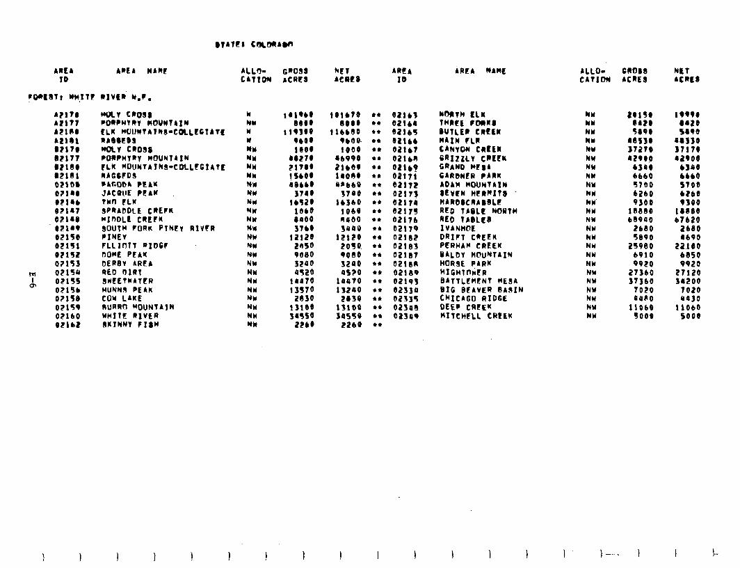
AREA AREA MAW ALL30 ID CATIOW
A?lT@ AZ171 AZil@ ALlbl DZll@ B?lll B?l3. B2101 O>llM Ollro O?l.b
82107 OZlrO @2149 02150 02151 0?15l oz153
': ot15u
o\ 0115s OZlSb 0?158 O?lSP 02160 02lbS
WAY C~O38 PWPUVRY WOUMTAIM rLK wOltNtAtR3-CaLEC'IATt UA8SEbS WILT CROSS l IBRPHTRT ROUNTAIN FLK MOUNTAINS-COLLEGIATE RAGCFDS l A60bA PEAM JACUUE PEAK TWn FLU SPRADDLE CREFK MInDLt CRECK SOUTH FORK PlNty RIVtR PIHEY FLLIOTT RIDCF DOME PEAK DERBY AREA RED I)IRT 3llEETWATER HUYN3 PEAK COW LAKE RURRCI MOUNTAIN NHITE RIVER 3KINNV FI8M
w WY w Y wr w NW Yk NW NW NW NW NW NW NW NW MN N'N NY NW NW NW NW NW NY
GROSS ACRE8
’ “% 119100
9bO 1000
1~Z7. ?17.. !SbOO IBbb@
5140 lb¶ZO
1Obb
0000
3lbO
'::g:
9080 SZOO 0520
irotd
';:;: lflO@ Y4SSO
2PbO
WT ACRCS
101610 4+
80.0 44
IlbbOO et
9bO8 04
1000 44
(lb090 44
2lbOO 44
11000 44
an668 44
fl@O 44
lbfbo et
1860 44
0000 44
YVOO et
12120 44
2050. 44
9000 et
3200 44
OS?0 44
10070 et
13200 44
2@30 44
13100 44
so550 et
2260 44
AREA ID
32165 92Ob 021bl OZl60 OZlb? 02111 ea172 0211~ 02119 0~211¶ 02116 02179 02182 02183 02131 ezten 02139 02193 02330 02135 02348 02349
AREA NAWL
NORTH ILK THREE FOaR3 BUTLER CRtLR HAIN tLR CANVOU CRCCK ERIZZLV CRECK GRAND t+t#A CARDNER PARK ADAM MOUNTAIN #EVEN HERWIT . WARb@CRABbLt RED TABLE NORTH RED TLBLE~ IVANHOE DRIFT CREEK PERHAM CREEK YALDY H@UNTAIN HORSE PARK HIGHT~~ER BATTL~HENT wan BIG BCAVER BA9IN CHICAGO RIDGE DEEP CREEK ~ITCHFLL CREEK
ALLO- CROB8 CATIMI ACRE3
NY a0130 18990 NW 8420 a420 NY To*@ 1890 NW 08SYO 08YSO NY 3121B 37118 NW 4290p 12900 NY 6300 b180 NW 6660 6bbO NW 5700 ST00 NW 6260 bt60 NW 9300 9YOO NY 18888 1elJae NY 68900 61620 NW 2680 2680 hW S800 IbQO NY 25980 22.1eo NW 6910 6650 NY 9920 9920 NY 21360 27120 hN 11360 14200 NW NW NW NY
-1ozo 7020 OOPO 4030
11868 lib60 so00 so00
I-
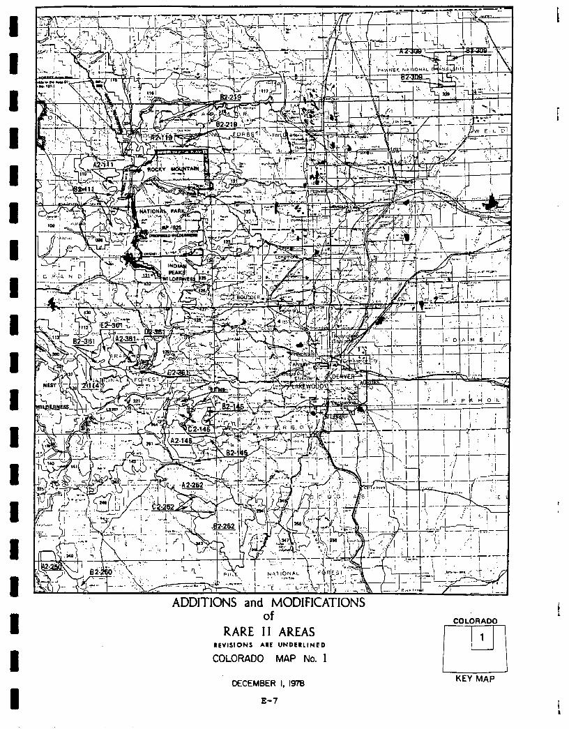
U1 COLORADO
RARE 11 AREAS REVISIONS ARE UNDElllNED
COLORADO MAP No. 1
DECEMBER I, I978
1 PI KEY MAP
E-7
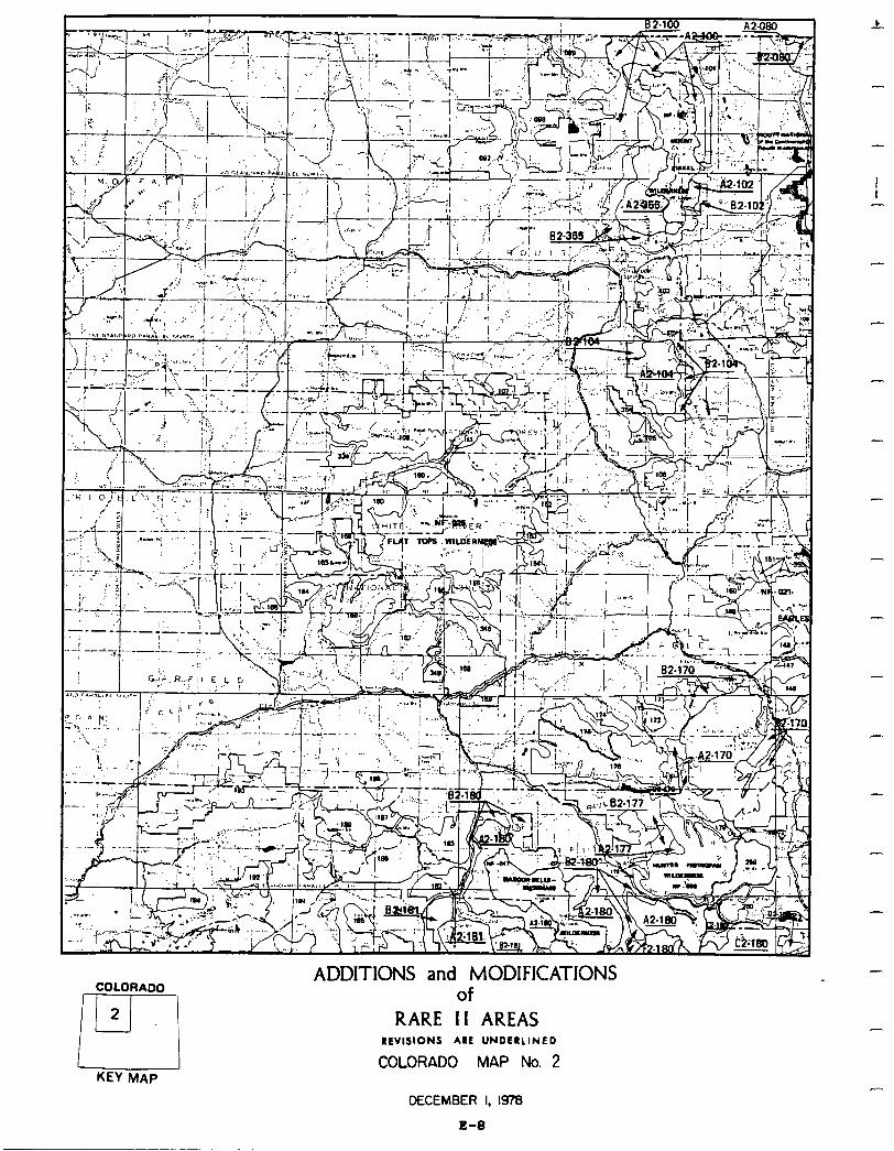
COLORADO
2
P-
[ KEY MAP
ADDITIONS and MODIFICATIONS of
RARE II AREAS REVISIONS ARE UNDERLINED
COLORADO MAP No. 2
DECEMBER I, 1978
E-0
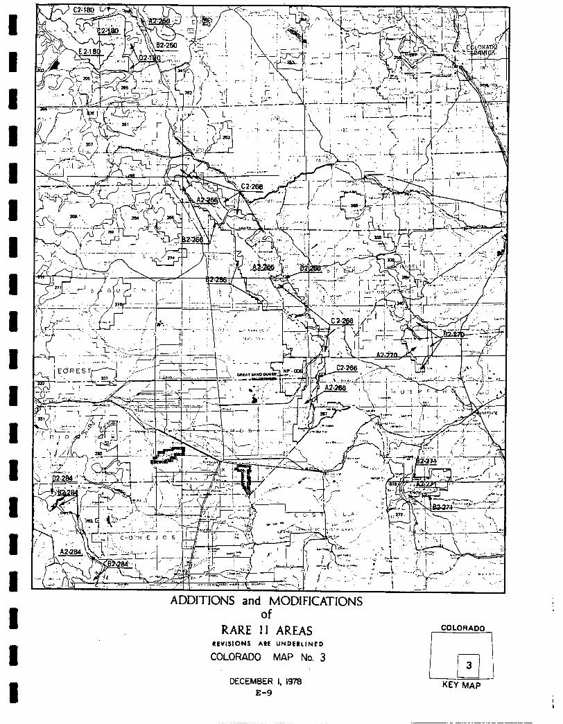
I I I I I 1 D I I I I 1 I 1 I I I 1
ADI of
RARE II AREAS REVISIONS ARE UNDERLINED
COLORADO MAP No. 3
DECEMBER I, 1978 E-9
COLORADO
r I- c ’ ii i 3 --
KEY MAP
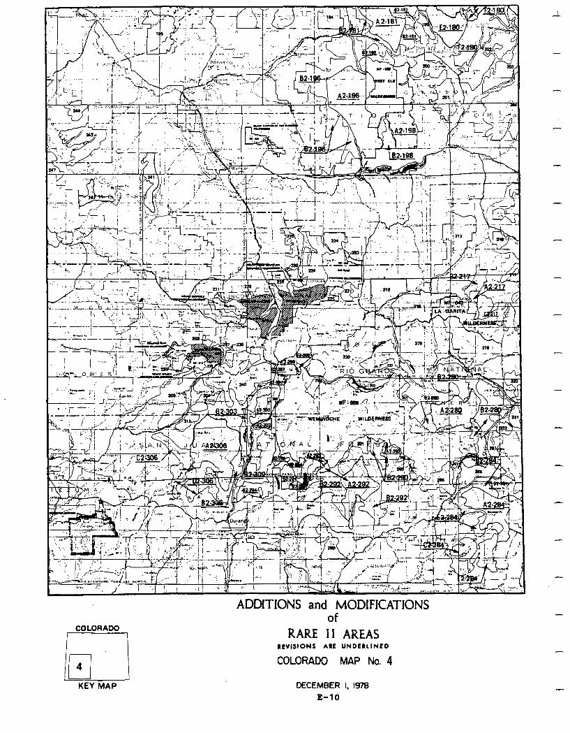
ADDITIONS and MODIFICATIONS of -
COLORADO RARE II AREAS
REVISIONS ARE UNDERLINED
COLORADO MAP No. 4
KEY MAP DECEMBER I, 1978
E-10
D I 1 1 I 1 D 1 D I I I D 1 1 1 1 I I
Social. Although there is strong public sentiment concerning roadless area allocation incolorado, indicating ahigh degree of controversy, actual social effects resulting from the proposed action are estimated to be minimal.
With almost twomillionacresallocated to wilderness, symbolic valuesderived from wildernesswillgenerallybeenhanced. Symbolicmeaningwill be negatively affected bynonwildernessallocation of Bear Creek, Wheeler-Watson, SanMiguel, and Carson Peak areas in southwestern Colorado favored'by residents for wil- derness designation so they could be preserved for future generations.
The opportunitytoengage in primitive recreation experiences will be greatly increased, although specific areas currently favored for wilderness designa- tion because of their suitability for nonmotorized recreation are allocated to nonwilderess; namely Service Creek, Sugarloaf, and Pagoda Peak in north- western Colorado. Nonwildernessdesignationofroadlessareasincloseproximity to urban ,population centers may result in overcrowding in some wilderness areas as population andoutdoor recreation use increase alongthe Front Range.
Primitive recreation opportunities and symbolic values will be negatively affectedbynonwilderness designationof Bear Creek,Wheeler-Watson, SanMiguel, and CarsonPeak areas all insouthwesternColorado. But nonwildernessdesigna- tion of these areas should mitigate negative economic impacts and adverse impacts on social services by allowing resource development and management of timber values.
Changesin community lifestyles andpopulation effects resultingfrom negative economicimpactswill be highly localized and of short duration. The economic analysis indicatesthat, afterapotential inunediatelossof jobs, thepotential long-term effects are positive in every industrial sector.
Economic. Asummary of economic impacts for the proposedaction is presentedin the following table. These are national impacts and may or may not occur in Colorado. Allstate impactsareallocated fromthe national totals andarebased upon state resource changes. They are Colorado's contributiontothe national impact. For a complete description on how the impacts were calculated see Appendix W.
The table showspotentialimmediate impact fromColoradotobenegative in every sectorwithpulpandpaperthelargest. Pulpandpaperindustryinthisaggregated national model includes all industries that use wood products other than saw- timber from the forest. In Colorado the areas allocated to wilderness would decrease the amount of "other, wood products" by 44 million cubic feet which translatesinto a negative 1,200 jobs. The other wood products in Colorado are posts,poles, firewood, etc.,therefore,theloss of 1,200 jobs is probably anoverstatement in this case. The potential long-term effects are positive in every sector.
E-11
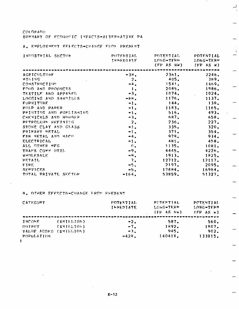
-I
-
-
INl:!ISTH J 41, Sk;CTl-fr! Pf.lTF:HT J Al, P~IT~b’TIIE, POTENTIAL r~nF!:rIlPTF I,llWCt-TFRG LObiG-TC:T?p
(FP AS NW) (F-P AS W) -----1---1----------------------------------------------~------------ AGPfC~JtrTl~RF -3H. 73hl. 2246. r4 T r,; J Y r, 2. 405. 3H9. CgrdStUI1CTIf)K '4. 1541. 14h9. FPrID AND PRnll!Jr:l’S 1. 2085. 1986. TF:X’l’ILE ANI) APPARFI, -3. 1074. 1024. I,nr;cIhG AYD S4bl"lTLI~S -PH. 1176. 1137. FIIRNIT~IRE -1. 144. 138. Pl1i.P A2l.l PAPER -1. 1103. 1165. PP~:lT~‘l(; ANI) j’IIPJ.JSc(TX:c -1. 516. 493. ChK’dICALS AYI’I RI1B9F’P -3. 6R7. 658. P F' T P 0 [., C: I I b I3 F: F T Y T ?1 I; 2. 336. 227. STQrJF CLAY A!GP (;IBASS -3. 335. 320. PRTMAPY METAL -1. 371. 354. FAR YETPI, ANO MAC!' '4. 979. 934. ELECTR JCAL -1. 481. 458. AI,C flTHFR ‘-IFG f-J. 1135. 1081. TRAP’S COW IJTTIa -9. 4445. 4226. w u n T., F s h L K '9. 1913. lR25. PETPTC 7. 12712. 13117. F’SRE -5. 3197. 2095. SEPV1CE.E; -5;. 17884. 16984. TIlTAl, PRIVATF: Sk:CTf!P -164. 53859. 51327.
CAl’F:GORY POTEKTI AI, Pr!TF:f+‘Tl Al, PPTENTI AI: Ibb’KDTATE L~-I!vG-T~:R’-’ I,nNG-TF:P~
(F’P AS NW) fFP AS i*) --------------------------------------------------------------------- T NCilQF. (s~ll.l,rnb~) -2. 587. 560. nrr~r~t!*r (SMTI.L,1l~l~l) -7. 1 H92. 1807. v41,~IlF nr:n~:~:, (s~~il.~l,~c~r~~) -3. 945. 902. Pr!PUt~At’IClrJ -42w. 14041n. 133815.
1
-
-
-
-
-
-
E-12
-
-
-
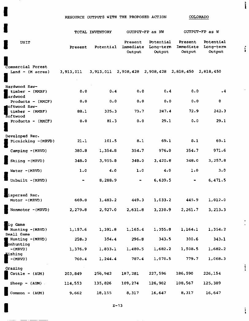
8 UNIT
ommercial Forest
8
Land - (M acres)
Hardwood Saw-
8 timber - (MMBF)
ardwood Products - (MMCF)
oftwood Saw- timber - (MMHF)
oftwood
8
Products - (MMCF)
Developed Rec.
8
8
8
Picnicking -(MRVD)
Camping -(MRVD)
Skiing -(MRVD)
Water -(MRVD)
Unbuilt -(MRVD)
t 'spersed Rec. Motor -(MRVD)
8 Nonmotor -(MRVD)
8 ig Game
Hunting -(MRVD) Small Game
Hunting -(MRVD) nhunting -(MRVD)
'shing P -(MRVD)
Grazing
8 Cattle - (AUM)
Sheep - (AUM)
8 Common - (AUM)
RESOURCE OUTPUTS WITH THE PROPOSED ACTION COLORADO
TOTAL INVENTORY OUTPUT-FP as NW OUTPUT-FP as W
Present
3,913,011
0.0
0.0
88.1
0.0
21.1
380.8
348.0
1.0
669.8 1,483.2 449.3 l,C33.2 445.9 1,012.o
2,279.8 2,927.Q 2,631.e 3,230.9 2,261.7 3,213.3
Present Potential Present Potential Potential Immediate Long-term Immediate Long-term
Output output Output output I
3,913,Oll 2,908,428 2,908,428 2,818,450 2,818,450
0.4 0.0 0.4 0.0 .4
0.0 0.0 0.0 0.0 0
325.3 73.7 247.4 72.9 242.3
81.3 0.0 29.1 0.0 29.1
101.5
1,354.a
3,955.a
4.0
8.1
354.7
69.1
976.0
8.1 69.1
354.7 971.6
348.0 348.0
1.0
3,420.8
4.0 1.0
3,257.a
3.0
8,288.g 6,639.5 6,471.5
1,157.6 1,391.a 1,165.4 1,355.a 1,164.l 1,354.2
258.3 354.4 296.8 343.5 300.6 343.1
1,376.g 1,833.l 1,480.5 1,682.2 1,508.5 1,682.2
760.4 1,244.4 787.4 1,070.s 779.7 1,068.3
203,849 256,942 187,281 227,596 186,590 226,154
114,553 135,826 109,274 126,902 100,567 125,389
9,662 18,155 8,317 16,647 8,317 16,647
8 E-13
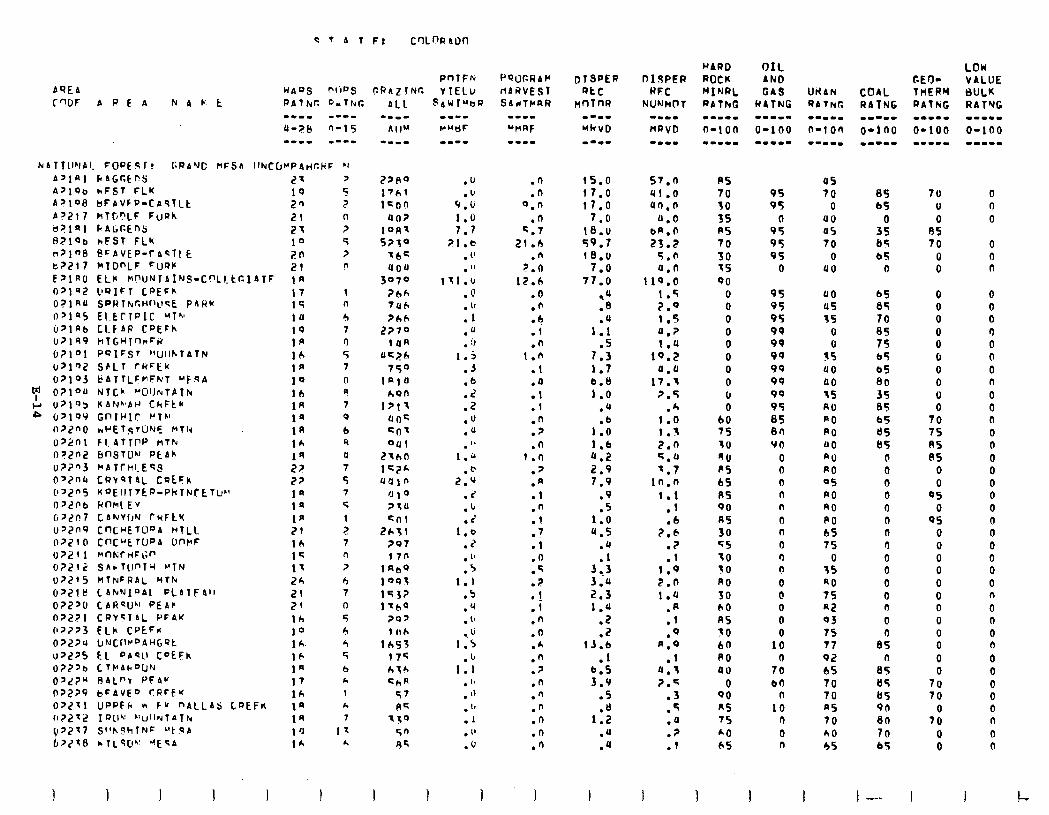
bQE4
C T 4 1 F: C'ILDl?Alm
PnTFfi HbQS PIiRS Ck'AZlNC Y TELU
27 19 20 El 27 10 2n 21 !A 17 15 10 1Q 1p 16 Ia 10 lb IA 1s 1n 1A
;z 2? la 1p 1p 7t I& l< 1; 2h i?! 21 lh 10 1 h. 16 la 17 lh la 19 1 ‘J 16
1 n
b 7 0 5 7
0 P
7 0
6 4 a 7 s 7 <
: 7 A ?
b 7 n
5 r, 4 5 6 h 1 k 7
11 L.
.u
.u 9.6
1.0 7.7
PI.6 . (' . "
II1.U .@ . (1 .l .o . 0
1.5
.J
::
.Z
.u
.a a, .
1.0
.@ 2.9
.2
.lJ
.i 1.0
.2
. "
.5 1.1
.S
.q
. t,
.u 1.5
.I, 1.1
. '8
. "
. "
.I
. "
.u
I 1 1
.n
.n 0.n
.O 5.7
21.0 .n
7.n
12.6 .O .fi -4 .I .n
1.0 .1 .O .l .! .n .? .n
1.0 .> .A .l .n .l
7
:i .n .q
? .
:i
.n
.o
.*
.n
.z
.n
.n
.n
.n
.n
.n
I
15.0 17.0 17.0
7.0 re.u 59.7 18.0
7.0 77.0
,u .a .u
1.1 .5
7.3 1.7 6.8 1.0
.a
1:: 1.6 Q.2 2.9 7.9
.9
.s 1.0 4.5
.Q
3:.: 3.44 2.3 1.u
.2
.Z 13.6
.1 6.5 3.V
.S
1:: .U .a
s7.n 41.0 4n.n
a.0 bA.0 23.2
5.0 a.0
110.0 I .5 2.0 1.5 4.2 1.U
10.2 a.0
17.1 p.5
.A 1.0 1.3 2.0 5.0 7.7
1n.n
1.1 .l .b
2.6 .z .l
1.9 2.0 t.0
:7
.Q *.o
.I 0.3 2.4
.3
.5
.a
.?
.I
I I I I
US 70 30 3s R5 70 30 35 90
0 0 0
ii 0 0 0 6 0
60 7s 30
flu PS bS US 00
us 30 <S 10 30 A0 30 b0 RS 30 60 PO au
0 QO ns 7s
2
95 95
0 95 95 95
0
US 70
0 UO as 70
0 UO
95 UO 95 US 95 35 99 0 99 0 99 15 99 00 99 00 99 15 95 A0 85 PO 80 PO on 00
0 alI 0 PO 0 OS 0 n0 n A0 0 PO 0 65 0 7s 0 0 n 15 0 a0 @ 75 0 aa? 0 93 0 7s
10 77 0 92
70 bS bl) 70
n 70 10 RS
r) 70 0 h0 n 6S
85 65
3: 65 bS
0
65 8s 70 85 75 b5 bs 80 35 85 65 05 85
0 0 0 0 0 n 0 fJ 0 0 0 0 0 0
8; n
85 8s 65 9n 80 70 69
I I --
70 0
8; 70
8
0 0 0 0 0 0 0 0
8 70 75 US RS
0 0
QS 0
95 0 0 0 0 0 0 0 0 0 0 0 0
70 70
0 76
0 0
I
LOW VALUE BULK RATYC w-m.- O-100 -11-w
0 n 0
0 0 n
0 0 0 r) 0 0 0 n
0 0 n
0 0 0 0 0 0 0 n 0 0 0 0 0 n
0 0 0 n
0 0 0 0 0 n
0 0
1 !-
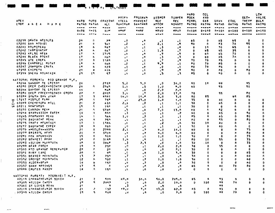
02239 DPItR NFEPLFS 0?200 SAN MTtitlEt 02201 Rl-kIRIf'EAu. 0?2U2 1 ARFQIIAr,UF 022U3 KFLSO HFSA 022U4 BCACK PnINT 0?2U5 uTE CREFK OZ2'Jb CAMPAFLL f'oTNt 0?2fl7 .Jr)tih!SnFc CQtFK uP3q8 CMIPETA 02359 SNfVA MIXJN~AIN
hATfO~A1 FlJQE9Tr kID GRANDF bI,F, As24b SbhGRF 0E CQISTn 24 AZ2aO DFEP CdEE'f-FECKFW CPEFr 211 b22hb SAPGRF DE LP19lP P~.?RO DFtf' fRFEK-RCtKFk COEEK ;; b>LRU SWfH SAN JIIAN 17
M l?LIl MIDnLE FC'QI' 25 ' 022n9 CrlC~FTWA HlLl.
: 0?211 MflNfHFGn 21 15
02270 CA68lJN PEAR 21 OpE'-a STAQVATIW CWFEK 10 a72h5 PnRPHv6aY okby lh 0?27U SAGllbtHF PtArc 16 tJ?Z75 1QAf Y MWNrAI’l 17 0?277 SAGI’AtYHE CPFEK 19 OZZ7f’ wUtFLFW=wASnh 21 0?279 BQlSTnL HFbn 21 OJ2al FflX MnU'JlAlu 15 O?LPE BFk~'ElT PFPK l@ u?2n3 W[L!OW WIINTATN I@ OZ299 BFAR CREEU 10 0>3nO PI0 GFPIJtS RE.SERJnIF 27 023nl RIIBV 1.AKE 20 02351 BEAVER CIC'!'hTAtly 13 0?332 GOOl~sF ~IJllhtAlN 12 O?333 bL.DER-BFAD 10 02337 SHAW qPn?NbS 17 0?999 CRUCES PASIN 10
NA7Tor’Ai F@Eclr 6003tVEl. T N.F. A?119 C~HANCHF-RIG ?&IlTU 21 A2309 WTLLUW CnFtlc 1= A?361 ST LOll1.9 PEAK 2' tr?ll9 LfWANCHF-QIG Qlllllu 2q
: 62309 hTLlOU CWFtw 15
.O
:: .2 .I, . 1' .J .C .l . .c .I,
.n
.I
.!
.I
.n
.n I l
.I
.(!
.I
.n
2::
.3 1.8
.9
.3
=.' 9.9
.O
:Z
.l
.A
.a
.7
.9 3 .-
.Q
:f
.5 3 .-
5.2 1 . (1
3::
lb.0
2::
."
.5 .3
1.0 .b . c, . il
2.1
:t I.@
.3
.Q
.b
. (1
.7
.l
.e
."
. 1,
s.> .3 .O .7
1n.r 21.0
2 . .l .a .I
? Ii .I .n . ' .p .I .G
2.1 .! .n .n .I .? .2 .fl .O
.o 1.0 2.0 2.0 3.0 1.0
.l
.l 7.0
::
:: .l
b.0 4.0 1.0
.l
2:x
1:x l .O
1.0
2:: .O
30.0 a.0 2.n
17.0 3.0 1 .o 1.T
.I 13.0
? . .l .l
:: 10.0
6.n 1.0
.l 1.0 2.0 7.1 3.0
.n 1.0
.n
.fi
.n
h9.0 3n.o 50.0 2os.n .fJ .n 2.0 it7.n .3 .n .b .b
f9.U 7.n 15.0 62.n .U .n .o 2.0
65 0 65 69 0 0 90 n A3 70 9s 0
0 10 70 65 0 0 0 bS hS 35 0 0 0 b0 bS 70 0 0 0 b0 hS ‘In 0 0
TO 70 RS 0 0 0 a0 70 8S n 0 0 $0 70 A5 0 0 0 90 0 PO 0 80 0 RS 0 co n 0 n
90 60
95 50
70 A0 55 30 30 60 60 AS 60 30 SO 60 60 30 @O 30 SO 30 30 rn 3u SO bS
0
65 0 0 0 0 0 n
1: 0 0 0 n
10 .ld
0 0 0 0 0 0 rl 0
bT 0 0 n 0 0 0 0 0 0 n n n 0 0 0 n 0 n n
15 n
60 65
0 0 0 0
80 60 80
0 0
7s 80 35 3s 3s
0 0
45 60 60 h0 PO
0
0 0 0 0 0 0 0 0 0 0 0 0 0 0 0 0 0 n n 0 0 0
65 0
hS 0
0 100
0 100
99 55
5s
00 LS
0 R2 6S 65 55 dll 40
0 0
5: 0
35 0 0 u 0 0
00 0
Q3 a9 99
93 R9
7::
7:
-.
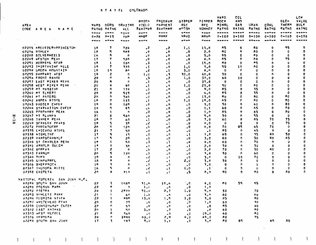
AFEA CClDE AREA NbME
0?2nS nREIlTZLQ=PRTNCETON
O?Lllb RW'LEV 022P8 STLVERHEELS 022U9 wFSTON PEAk OZ2Sl tllll?NIh'G SFAR
02243 T"IRTYNINF MILE 02254 tiUEFN Mf'l~nTaIN 0?24S RAMPART wFSl 02256 FRO'VT RbNBk 02257 EAST PIKES PEAK 0?258 WEST PIKEI PEAK 02259 ml MA.9STvF 0?200 WY FLREPT
.0?261 PT AlrtTERCi 02262 A9PEN RTDr.t 0?2h3 BADGER CldFtK 022hU STAQ\ATllJY CRFLK 072bS Pf'RPwVRV PEAK 0?2b7 VT PLAN~A 0?2h6 TANYEQ PEAK 02249 SrWAGGY PF4KS o?272 PIIRCATUTRF 0?335 CW1CAc.U RTDCC 0?338 kTGHLlNF 02339 H4RFSCRAbRLF 023UO ST CHARLEg PEAh o?3al AQNnlpn GULCH 0?3U2 gf-IRFA’3 0?3U3 FARNUM 023uu PlIYA 0?3US GIINRAPRFL 0>3Ub SuEFPSOClr 0>3U7 T'-IUNDFk RlJTTE 0?35@ CHIPtTA
NATTOF~AI. FWEST$ SAN JIJAY N.F. A?~~II SnuTw SAN Jll~hl A?200 Pnl.sUN PAPK A?292 PTEPRA ~?293 WIINLETT PAkK A?ZOU FlOQInA klrFR A?207 wUITEuEAD PFAK A7298 CIIN’JIh’bHA~ ChFEM a?302 t AST ANTnAS 4?3n3 WFST WtFDl E A?)nb M~R"ll~A a?ZPb SWJTh SAN JIJAN
0 T A 1 EI CnLmADn
PoTFlu "JAPS DOQS GRAzTNG YIELD fJ4TNG Q4Tn(G
1A 1R
:: 1n 19 18 19 20 20 21 21 20 2n 1n 19 10
:: l#
::: 21 17 17 1” la 17 20 19 LA 19 lb 2n
2? 22 2U 21 2z 2n 2? 2n 21 20 17
1
7 720 5 OR9 9 n 7 t2n 1 ion 7 370
in 0” % 0 n n 9 n II 9n 0 170 0 515 n tun ? i33 n iO0 r) 93 1 n
0 Sun I 60 5 34 0 i2n 7 50 5 15 5 25 I sn n 36 2 n 5 iv 0 n R n 3 n 5 n 1) pin
3 A 1 1 1 0 n I A n 3
1000 n
2a7n
bn 49c
7= 57 50
-60 3oou
191
'1 1
SAW rub9
.2
.o
.u
!U .3
::
1 ;u 8.5 .l
3 .lJ
:Y .o
I, 10
:Y .2 .fJ
:Y .l .J . 1’
:r; .2
:: .d .l
31 .h 1 , c;
51." 1.U
13.b ." .U
3.0 .(I
U3.d 9.3
PROGRAM HARVEST SAUTMPR
-I-m
MMRF
.%
.n
.n
.I)
.l
.n
.l
.f
.Z
.n
.n .n .n .n .n
.n
.Q
.n
.*
.n
.l
.n
.n
.n
.n
.i
.n
.n
.n
.I
.I
.n
.I
.I
in.6 .n
?.7 .n
1.5 .n .n .? n
%:O 1 .I
1.1 .O .o
0.0
1::
3.0 so ..o
1.0
1:: 0.0 .o
1::
0.0 .o .o .2 .O .u .O .o .l .O a.4 .l .O .O
2:.: .O
1.0 .s
-.o .O
1.0
I:.! .O .O .O -.o
u.0 .O
1 I
15.0 2.0 3.b 0.0
1S.C 1.0 4.0
un.n 37.0 31.0 23.0
0.0 6.0
13.0 19.0
3.0 1.1 1 .n 5.0 7.0 0.0 6.0
.1 1.n 3.0 a.0 2.6 %.(1 1.0 3.n 3.0 J.0
.I A.0
a.0 1.n 5.0 3.n 1.0 1.0
.o
.n 15.0 u1.0
s.n
I
AS 00 OS RS n0 5s
0 30 60
0 30 PS AS AU AS SO 60 AS 30 60
0 70 f!S bS 60 60 30 70 30
s: 0 0
90
0 r) 0 0
0 10
n
18 0 0 0 0 0 (I n n n
0 0
ei 0 0 n n n 0 0
10 n n 3 0
PO
30 60 OS 60 RS 60 60 PO PO
55
85
1 I I
80 PO no A0 05 n0
0 0 0 0
RO SS 5s A0 RO 60 hS 6s 55 85
0 b5 h5 IS 30 70 30 30 60 70
0 U U
A0
0 0 0 0 0 0 0 n 0 0 0 n n 0 0 0 0
0
7X
7:
4:: 40
n
0 40
0 0 0 n @ 0
55
70 ho A0 10
40 n0 A0 7s
9s 0
7:
L! 0 0
ii 0 0 0
RO 80 80 a0 PU
0 7s 7s
0
5; 65
U 0 0 0 0 0 0 0
00
85
I
LOW VALUE BULK HITNG m..--
O-100 -‘I--m
0 0 0 n
0 0 0 0 0 0 0 0 0 0 0 0 0 0 0 0 0 0 0 0 0 0 0 0 0 0 0 0 0 n
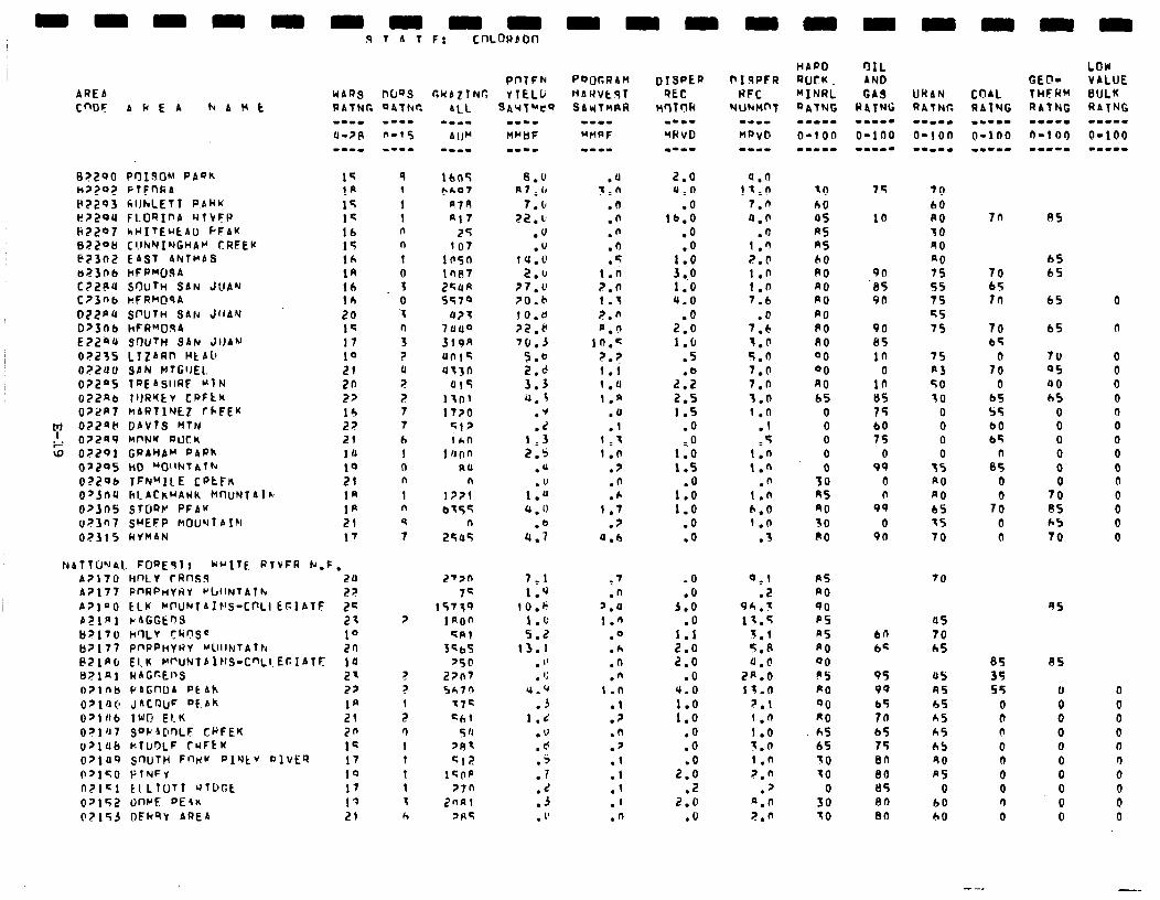
AREA
CWF b Ir E A hAMt
a?292 FlEnRA I47293 CllhLEfl PAkK ~2294 FLosxnb wtvF~ ki2207 hH1TEUtAl.J PFAK 132206 C!lNNINGHA~ r:RFEK E73o2 EAST ANTMAS a2306 hFPMO!ZA CZZPU SIXJTH SAN JUAN C?3nb hFRMOqA 022PU SPUln SAN JllAV D>3nb hFRMClqA EZZPU SWTH SAN JllAN
07235 LTZARn HtALl 072Uv SPN MTGI)EL. 0?2"5 TREAsllRF MlN O?,?ab 1lJRYtiv CPFtK 072R7 MARfIrJtZ fLFEK
': 0?2fit( DAVtS MTN OZ2S9 MI'NY PUCk
=; 07201 GWAHAM PAPh 0'295 ho "Olltd~A~~
OZZOC TFN"ILE CRtFn OpJnU hleAthHAWk P(nlJNTAlk~
0>305 SfORr PFAr 0?3'+17 SWEFP h'OU11TAIN
02315 C(YnAN
WARS OUQS CllAfTNG RATNIT OATNr.
1q la 15 1% 16 15 16 14 16 16 20 1c 17 10 21 20 27 14 22 21 1'J 10 21 1n 1R 21 17
9 I
1 1 n n 1 0
f 0 z n
3 ? u
? 7 7 7
6 1 l-l n
1 n 9 7
NAT?UYAl. FOREsIr krITE RTVFR k.F, A2170 hf-'LV CRnsg 20 2'7n A?177 Pf'RPtiYtiY ~WlNTAlh 27 7s P7lnO tLh ~~U~lA~~'S-C~LIEFIATF 22 1573Q P2lnl cAGGFin3 21 ? iRon lj'l70 hflLV cringe 10 =A1 ljz177 pnPPnYRv "1lllluTAlFc 2n 3qlYs PZlR\(, El.K 1IrUNfbitlS-C~Ll.Er.IAfF 14 '5@ B?lAl WAGr-tI>S 2' ? 27n7 O?lnb PsGnOA Ptrh 22 ? 5c7n 071O(l JACQUF DtAk la x72 Oslab lWl! ELK 21 : =b( 0?1'17 Sf'k4Dr)LF CRFEK 2n r) 5 'I u?lUb hTU0l.F CUFkK 1c 1 '87 o>luQ s'1UTH Fnk!v PI'Jtv 9lvER 17 1 Cl2 0~1~0 PINFV 19 1 1cl-lp n?1ci ElLfOll QTDGE 17 1 '7n 02152 tmrF PEEK 19 z Znnc 02153 DFkQY AREA 21 h 'HC
8.0 n7,cr
7.b 22.b
.U
.u lU.0
2.b 27.v 70.b l0.U 72.r 70.3
5.6 2.d 3.3 a.5
:i 1.3 2.5
.U
1s 4 . 0
.Q U.7
7.1 1.9
IO.6 1.0 5.2
13.1 . " . '4
u.'r .3
1.d .u .cc
:I .d .j . 1’
.a 3.n
.n
.n
.n
.o
.= 1.i
7.0 1.5 2.n n.n
in.=
7.;) 1.1 1 .'J 1.n
.a
.I 1.3 1.0
.? .n .*
1.7 .7
'J.b
.t
.n ‘.‘J 1.6
.Q
.h
.n
.n t.n
.1
.7
.n
.' .I .I .1 .I .n
2.0 0.0
.O lb.0
.o
.o ; 0.;
1:o 4.0
.O 2.0 1.0
.5
2:: 2.5 1.5
.O
..o 1.0 1.5
1::
1.0 .O .o
a.6 11.0
7.n 0.0
.o 1.0 2.0 1.0 I.0 7.6
.O 7.6 7.0 5.0 7.0 7.0 3.n 1.0
.I
.5 1.n i .n
.n 1.0
6.0 1.n
.3
.O
.O 3.0
.O 1.1 2.0 2.0
.O 4.0
t:: .o .O .O
2.0 .2
2.0 .O
0.1 PS .2 RO
Qh.? 90 13.5 ps
1.1 as J.P PO a.0 00
2p.o Pg 1s.o PO
7.1 00 f.n RO 1.0 hS i.n 65 1 .n 30 7.0 f0
7
Gl 0
50 a.0 30
10 60 05 R5 RS 60 A0 RO PO PO PO A0 00 00 RO 65
0 0 0 0 0
30 85 A0 30 A0
75
10
9n ‘85 9n
90 05
in 0
in 85 15 b0 75
0 99
0 n
99
0 96
bfl b=
95 99 65 76 65 75 80 80 BS en en
70 60 80 30 40 a0 75 55 75 =s 75
7n
70 bS Ill
7s R3 SO 30
0 0 0 0
35 n0 A0 65 15 70
70 bS
7: 0
b5 s5 b0 b5
8: 0
7: 0 0
LbY VALUE BULK RATNG ..--. 0-100 m-m.-
85
65 65
65 0
65 n
70 05 40 h5
8 0 0 0 0
70 85 h5 70
0 0 0 0 n 0 0 0 0 0
0 0 0 0
70
a5 70 65
45 A5 65 A5 hS 65 90 RS
0 60 60
85 85 35 55 V
0 0 n 0 b 0 0 0 0 0 0 0 0 0 r) 0 0 0
0
0 0 0 n 0 0 0 0 0
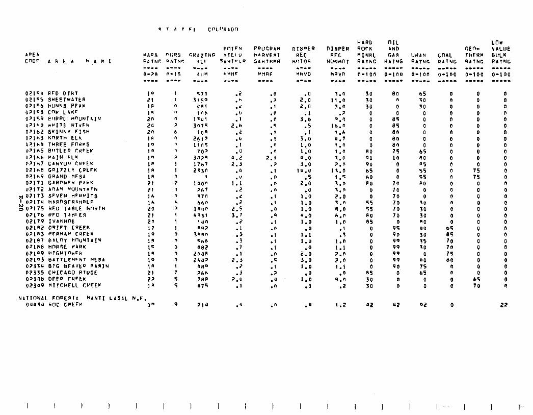
APE A WAVS noes CUAZTNG
OZlc;u RFD DlkT 10 OZlS5 SuEETuATtR 21 O?lcb hUNWS PEAK IA 021c8 CW.’ LAKF 1n 0>159 l?llP~Ll MnlJNTAIN an 0?140 viI’ITE WTvFh zfl Opl62 SwI~hv Fisk 20 02lA3 h;nRTH ELh IA b?lbQ THRFE FnrlvS 10 O?lbS BflTLER CRFtK 1' U?lh6 l'AIF! FLK 19 0?1'h7 CANVON ri2Ftu 1' O?lhS GR17Zl.Y CRtFK 1n O?lA9 GRAND MFSA 1n 0?171 GbRf'tuFk PAkK 21 02172 AnA' "UUNTAlh 21
m 0?173 SFVFN rtFRrllS 16 1 0?17U hARnSTf?AHPLF
go>175 RFD TAtiCE hnRTH lr. 20
07176 RFD lAti!ES 21 02179 IVANWE 20 O2laZ C9IFT CREEK 17 07lm3 PFRHA" CRFtK 19 OZ,“? CIAlnv rtr?uYlAl’J 19 O>lPB HORSE PARK 1s O?lP9 clTGrTnkFn 19 02103 BATTLF~IFNT MEPA 10 0233U STG ~~FAVEO RASIN tn 02335 CHICAGO RTUGE 21 0~3Otl DFEP fRFtK I?? 023U9 MIfCHFLl CPfEK 1"
NATIONAL F@RE$I! kANTI LbSAL hr.F, 04434 GOC CaEFv. 10
1 1 n n n > 5 fl n n > 1 I n r 0 0 5 > 1 1 1 n n 0 r) n
1 7 5 5
9
PflTFN PQCCRAH rTEl,U hAl?VEgT
qAWTubV SAYTkPi?
.z
.h
.t
:; 2.b
.z
:; .o
0.2 2.5
.b
. l' 1.1
.I?
:: 2.s 3.7
.Z
:: .3 .7 .I
7.5 .? .J
2.0 .l
.n
.?
.I
.n
.n
.q
.l
.I
.n
.n 2.1
.p
.I
.n
.n
.n
.I
.l
.a
.a
.l
.n
.i
.l
.l
.n
.G
.I
.?
.u
.n
.n
2:: 2.0
3:: .S
3:: 1 ..o 1.0 4.0 3.0
lU..O .5
2.0 a.0
1.0 1.0 1.0 4.0 1.0
1:: 1.0
2:: 3.0 1.0
l$ .l
.Q
30 50 30
0 0 0 0 0 0
A0 00 QU 65 60 PO
0 0
c5 55 A0 RS
0 0 0 0 0 0 0
es 30 SO
80 n
0 0
65 85 all 6l-l 80 75 lb
0 0
7: 70 70 70 70 70
0 95 90 99 99 90 99 90
0 0 0
a2 42
55 10 30
0 0 0 0 0 0
65 40 05 5s 55 PO
0 0
'0 30 30 PO 00 50 7s 10
0 00 75 45
0 0
02
0 n 0 0 rl 0 0 0 0 0 0 0 0 n 0 3 0 n 0 0 0
2 70
:: 00
0 n 0 0
0
0 0 0 0 0 0 0 0 0 0 0 0
75 75
0 0 0 0 0 0 0 0 0
i 0 0 0 0
65 70
LOW VALUE BULK RATNG am-w- O-100 w-me-
0 0 0 0 0 0 0 0 0 0 0 0 0 0 0 0 0 @ 0 0 0 0 0
i 0 0 0 0 0 3
2;!
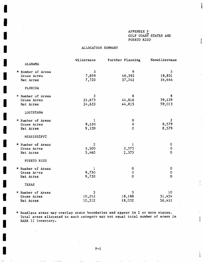
APPENDIX F GULF COAST STATES AND PUERTO RICO
ALLOCATION SUMMARY
Wilderness Further Planning Nonwilderness ALABAMA
* Number of Areas Gross Acres Net Acres
3 9 5 7,859 40,392 18,831 7,720 37,242 16;644
FLORIDA
* Number of Areas 3 8 8 Gross Acres 24,675 44,816 59,439 Net Acres 24,633 44,815 59,013
LOUISIANA
* Number of Areas Gross Acres Net Acres
1 9,120 9,120
0 2 0 8,579 0 a ,579
MISSISSIPPI
* Number of Areas 2 1 Gross Acres 5,500 2,375 Net Acres 5,460 2,375
0 0 0
PUERTO RICO
0 0 0
0 0 0
* Number of Areas 1 Gross Acres 9,730 Net Acres 9,730
TEXAS
* Number of Areas 3 3 10 Gross Acres 10,212 18,188 51,424 Net Acres 10,212 18,032 50,411
* Roadless areas may overlap state boundaries and appear in 2 or more states. Total‘areas allocated to each category may not equal total number of areas in RARE II inventory.
F-l i
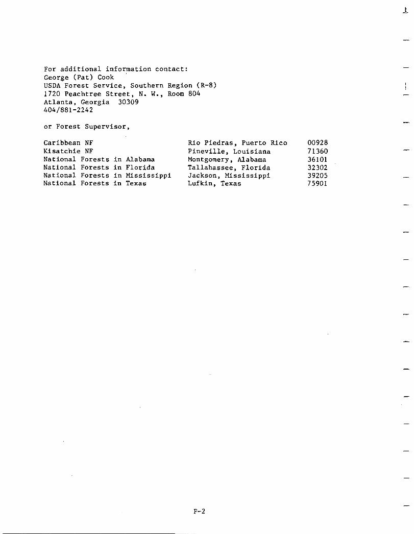
For additional information contact: George (Pat) Cook ' USDA Forest Service, Southern Region (R-8) 1720 Peachtree Street, N. W., Room 804 Atlanta, Georgia 30309 4041881-2242
I I
-
or Forest Supervisor,
Caribbean NF Rio Piedras, Puerto Rico 00928 Kisatchie NF Pineville, Louisiana 71360 National Forests in Alabama Montgomery, Alabama 36101 National Forests in Florida Tallahassee, Florida 32302 National Forests in Mississippi Jackson, Mississippi 39205 National Forests in Texas Lufkin, Texas 75901
F-2
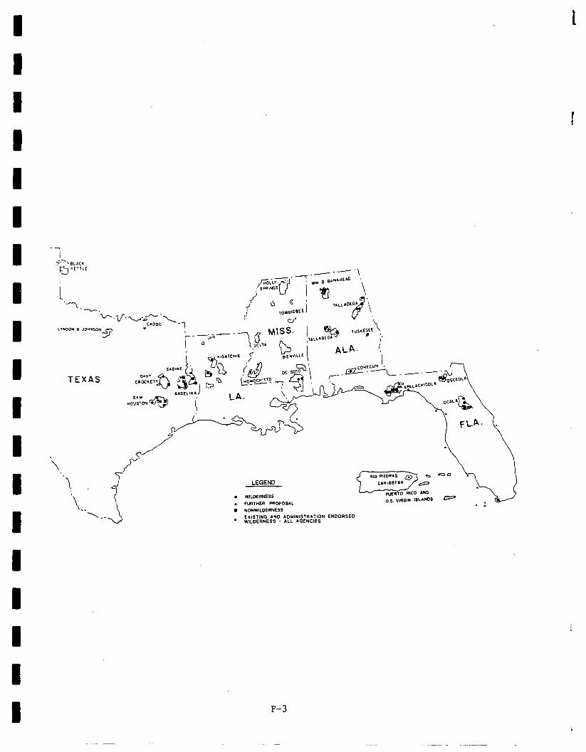
t
I
--
TEXAS
LEGEND
i
F-3
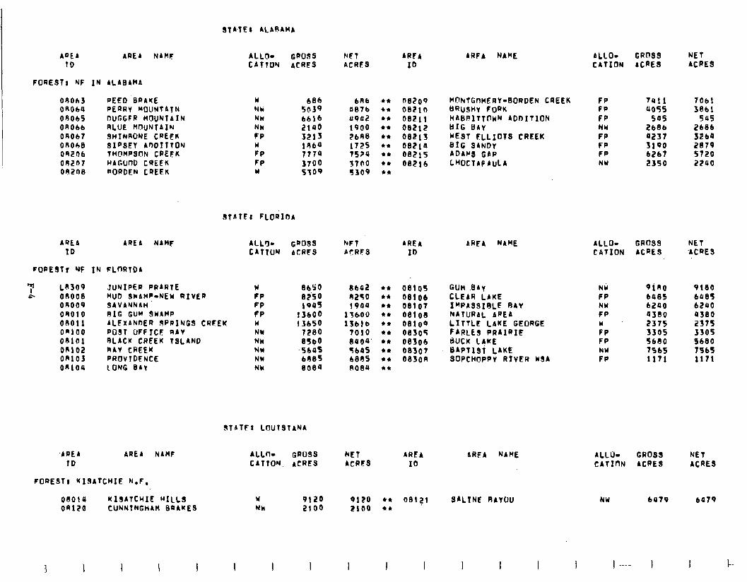
ARE4 ARE4 NAHC TO
ALLO- CATTIN
GPO33 ACRES
NSf ACRES
AREA
ID
4RFA NAME ALLO- CATION
GROSS ACRES
NET ACRES
09063 O~ObU OR065 On066 04067 OROhe 09206 OR207 092n8
PEED ‘BRAKE PERRY MOUNtATN DUGGSR HfJlJNlAfN RLUE MOUNTAIN JHINRONE CREEK SIPSEY AWITTON THCMPSON CPEFK HAGUnD CREFK RORDEN CREEK
w NM NW NW FP w FP FP w
b86 bR6 5@fQ 0676 6616 UP02 2140 1900 3213 2648 196a 172s 7774 75ru 3700 S7bO 5309 !3309
l t nezoq
+* 002lO l * 08211 l * 08212 l * 08213 l * 08210 l 4 08215 l ‘t 08216 4*
M@NTGnHERY-BORDEN CREEK kW)SHY f (JRK HABPltTOHN ADOITION BIG BAY WEST FLLIOTS CREEK BIG SANDY ADAt’S GAP LHOCTAF AULA
FP 7411 7061 FP 4055 3861 FP 545 545 NW 2686 2186 FP 0257 S264 FP 3190 2879 FP 6267 5720 NW 2350 2200
STAfFI FLORIDA
ALLO- GROSS CATION ACRES
NET ‘ACRES
AQEA AREA NAMF ALL% Cm099 1D CATTW ACRFS
hFT AREA AFRFS ID
AREA NAME
FoPESTr NF IN FLnRtD4
‘;” L8309 * 00008
OR009 OR010 08011 O”100 OPlOl 0~102 on103 on104
JUNIPEa PRARTE MUD 3CrAMP-NEW RIVER SAVANNAH RIG GUM 9WAMP ALEXANOER lsPRING3 CRFEK PO9T UFFICF RAV RLACX CREEK TSLANO RAY CREEK PROVTDENCE LONG 841
w fP FP fP W NW NM NW NW NW
8650 8230 1ous
13600 13650
7280 8SOO
‘% 8084
8642 l * 08105
A250 l * 0810~
1904 l * 08107 15600 +* 08108 1361b l * oelo~
7010 +a 0830s
8004’ l * 08306 566s l * 08307 6885 l * oefon A084 l *
Gun .84y CLEAR LAKE I"PASSIRLF RAY NATURAL AREA LITTLE LAKE GEORGE FARLES PRAIRIE BUCK LIME BAPtl3T LAKE SOPCH@PPY RIVER USA
NW 9ino FP 6485 NW 6240 FP 0300
:P 2375 3305 FP 5680 NW TS65 FP 1171
9180 6485 62UO 4580 2375 3505 9680 79bS 1171
STATFI LOUTSTANA
-AREA AREA NAnF ALLo- GROSS NET TO CATION. ACRES ACRES
AREA AREA NAME ALLU- GROSS NET ID CATInN ACRES ACRE9
FORE911 KIJA7C~IE N.F.
08014 KISATCHIE HILLS W 9120 9120 l * n312T SALINE RAYOU OAlZO CUNNTNGtiAH BRAKE9 Nk 2100 2too l *
MU 6479 6479
I I I I I I I 1 I
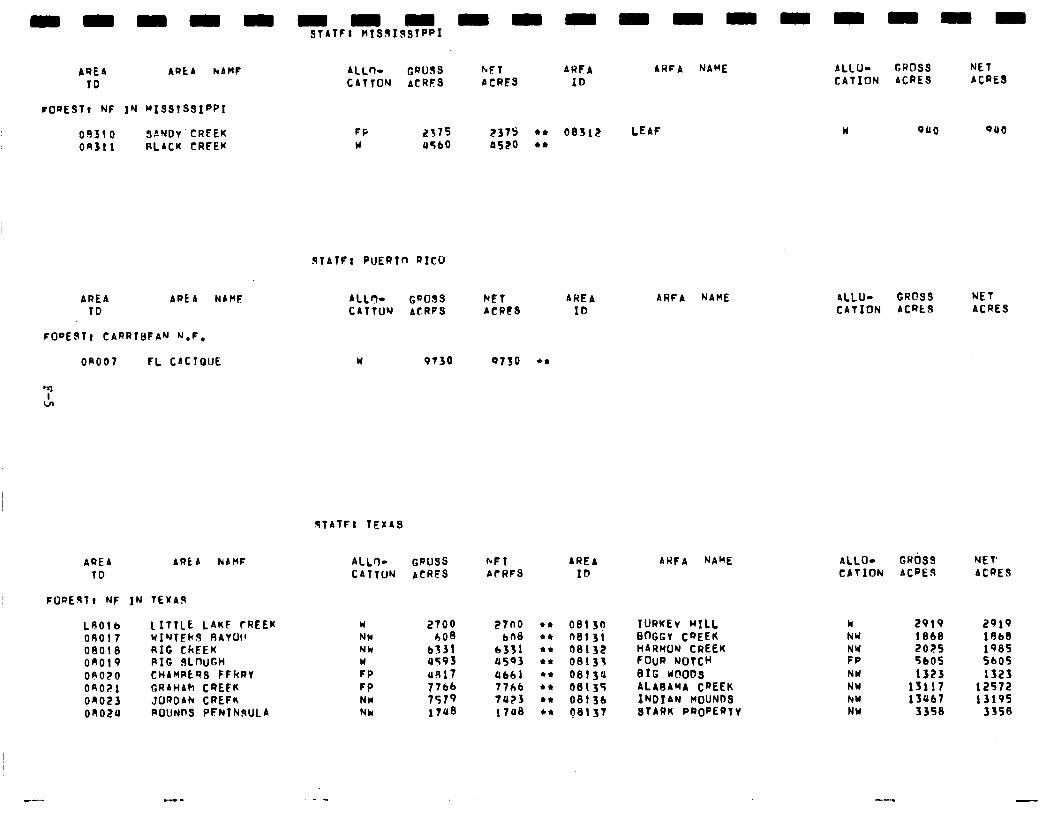
- - - - ” ~,TFl~sqIq91ppI - - - - - - - - - - - I .
AREA APLA NAHF ALL- GROSS hET ARFA ARFA NAME ALLO- GROSS NET IO CATTON ACRES bCRC3 ID CATION ACRES ACRES
FOQESTl NF IN ~ISSTSSI”PI
on310 SANDv’CRFEK on31 1 RLACK CRFEK
FP W
STATF: PUERTn RICO
AREA APEA NbHF TO
FOPE.ST: CARRTBFAN N.F.
on007 CL CACTOUE
ALL+ GQOSS NET AREA CATTU’J ACRFS ACRES ID
W 9130 0750 +*
STATF: TEXAS
AQEb ARt A NAMF TO
FOQE9Tt NF IN TEXAs
LAO1 b LITTLE LAKF rREEK on01 7 WINTEN!? RAVLk! 08018 RIG CREEK on019 RIG 9mm OAiiO CHAHREQ; FFRRT OR021 CRAHAh CREFK on023 JOROAh CREFK on024 ROUNDS PFNTNSULA
ALLO- GQUSS bFT AREA CATTON ACRES AcRFS ID
w NW NU W FP FP NW NW
I?700 608
6331 u593 US17
::‘;i 17~8
27no +* 08!3? 608 l * 08131
6331 l * 08132 4503 l * 08133 ab61 +I 08134 7711 l * 08135
7U?3 l c 08134
1700 l t 68137
ARFA NAME
AREA NAME
TURKEv MILL BOGGV CREEK HARMON CREEK FOUR NOTCH BIG WOODS ALABAMA CREEK INDIAN rrourms STARK PROPERTY
ALLO- GROS9 NET CATION ACatS ACRES
ALLO- GWbSS NET CATION ACRES ACRES
W NY
FZ NW NW hW NW
2919 2919 1868 1668 2025 1985 5bOS 5605 1323 1323
13117 12572 13Ub7 1319s
3358 33S8
-
Social. RARE II generated very little social concern in Mississippi, Louisiana, Florida, and Puerto Rico, where no significant social effects were estimated to result fromthe proposed action. In Alabama and Texas, few actual social impacts will occur although there is moderate public concern in relation to a number of social variables such as restrictions on motorized access, loss of local control, negative economic effects, fear of condemnation of private land, and symbolic meaning.
Wilderness classification of three roadless areas in Alabama (Sipsey Additions, Borden Creek, andReed Brake) willpositivelyaffect the symbolic value of these areas by protecting them with wilderness status. Despite the fact that there is strong social concern regarding negative economic consequences resultingfrom wildernessdesignation, the economic analysis indicates insignificant economic effects.
In Texas,three areas,Little Lake Creek, Turkey Bill, and Big Slough are recommended for wilderness. Although there is much apparent conflict regardingRARE II, few social effects have been identified. Nonmotorized recreation opportunities will be provided in closer proximity to popula- tion centers if the above areas are classifiedwilderness. Nonwilderness designation of Alabama Creek and Indian Mounds may negatively affect the areas' symbolic values, primitive recreation opportunities (including hunting and fishing), and historical and cultural values.
Economic. Asummaryofeconomic impacts fortheproposedaction is presented in the followingtable. These are nationalimpactsare may or may notoccur in the state specified. Allstate impacts are allocated fromthe national totalsandarebaseduponstateresource changes. They are the state's con- tribution to the national impact. For a complete description on how the impacts were calculated see Appendix W.
F-6
-
-
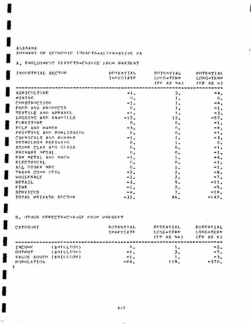
CATC:r;r.H?Y PCTEhTTAL I~IMC’I-IIPTF:
7 . . ‘4. 1. 0. 1. -4. 1. -1. 1. -3.
12. -57. (1 . -1. 0. -8. 0 I . -1. 1. -3. 1. 0. 0. -1. 0. -1. 1. -4. 0. -1. 1. -1. 7 . . -8. 2. -7. 9. -11. 3. -5. 7. -it?.
46. -142.
(t-P AS NW) (fP AS k’)
F-7
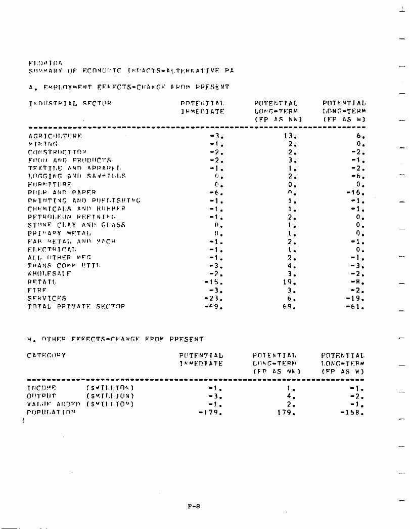
A. F.~ol,flyMF.r\rT FF~‘F~CTS-C~!AI\IC;C: F’PI-tr.! PPt;:SENT
1 h;nllSTPT 4I., SFcTl.lR P(7TFrJ7.T AI. PuTEtiTTP.1, POTk:NTJ AL l~~El?lkTF: l,I?VC-TERW ItONG-TEWr
(FP AS Nk) (FP AS kl w~wwwwwww~wwwwww~wwwwwwwwwwwwwwwwwwwwwwwwwwwwwwwwwwwwwwwwwwww-wwww-ww
AC;RIC~Il,Tl!WE -3. 13. 6. c I P! T h C; -1. 2. 0. C I 1 fs! .$ T R I I r T T C! Al
F’~‘(II,) ANI; PRI.II)II(:‘l’S -3. 2. -2. -2. 3. -1.
TFXTTl,CJ bNn APl’Ai)k 1, -1. 1. -2. I,(lc;c,Ih-C AS!f) S4~dII~I,S f’ . 7 . . -6. FI.IP~‘TTIIPE c! . 0. 0. PII[.lJ A!dlJ PAPF:R -6. n. -16. Pt+lrJTTur; Arjr) PIIPld?St~Thl(; -1. 1. -1. C.Hk:HTCAI.sS AYP RflF\PF:R -1. 1. -1. PE’TYrtI,f-Yl.lf.~ WEFT N 1 P:f; -1. 2. 0. sTf1fJF C1,A.Y AYI) Gl,ASS 0. 1. 0. PPI”AOY vFTh1.a 0 . I. 9. F'Af? ?,~b:']'Al, AVIJ !AFC:id -1. 2. -1. F.:mV:C1TQT(141s -1. 1. 0. ALL flTHFR MFT: -1. 7 . . -1. 7’ P A I‘; S C I’) k P. I! T J 1, -3. 4. -3. KHOI,FSAL F -7. 3. -2. P ‘7 T A 1 I, -1s. 19. ‘A. FlRF -3. -. 7 -2. SC:kVrCEs -2.3. 6. -19. TnTAL, PRJVATE Sk:(‘TflP -69. 69. -61.
-
-.
-
-
-
F-8
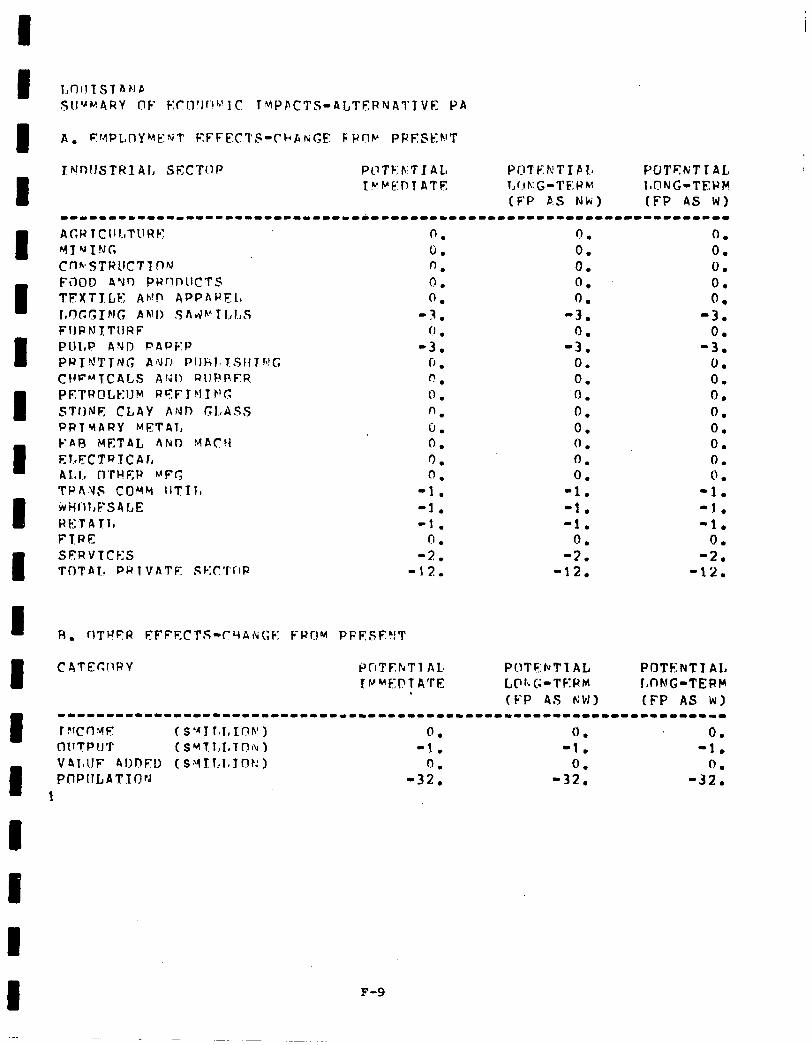
I I 1 I I I I I
J NnlJSTHIAI, SECT(.~P PL?TF:F:TIAL YO’TC;NTIPIa POTEMTlAL K.YrFAEIlT ATE I,~.IK:-TEI;:P~~ (BONG-TEPH
(FP P.S Nki) (FP AS WI -------~-----------------------~------------------~----~--------*---- AC,WlCI~LTl~R~ 0. n . 0. MY ‘JING 0. 0. 0. Cn~~STRllCTTn’d 0. 0. 0. FiIOD AYr) PRQnUCTS 0. 0. 0. TFXTJLF Ah!l’ APPARFLs 0. 0. 0.
rln~Gr~lr; AMI) SAIJ~~KI,l.,S -3. -3. -3. FIIPNXTIIRF 0 . 0. 0. PLll,P AND PAPF:P -3. -3. -3. PRIPJTTNG slur) PllFil.l:‘sltTh!C, 0 . 0. 0. CtdF’-‘TCALS A!411 RIJRRER 0. 0. 0. PETROLEUM RFFT MT F’G 0 . ‘0. 0.
STUNE CLAY AND GLASS n. 0. 0. PRTYARY METOT, 0. 0. 0. FAFJ MET8L AhD MACH 0. (1 . 0. ELECTRYCAI, ‘). 0. 0. ALL, O’PHEW h”FC 0. 0. 0. TPAllF COYM IITII, -1. -1. -1. irHl’lf,FSA6,E -1. -1. -1. RF.ITATI, -1. -1. -1. FTRE n 0. 0. SFRVTCF:S 4: -3. -2. TOTAl, RR 1 VATF: SEII’I’c’lR -12. -12. -12.
CATEr;llRY Pf~‘l’EhTl At PUTF:NTl AL POTENTI AL IVMETT ATE I.,@h(;-TKPM l,fING-TEPM .
(FP AS MH) (FP AS Lv)
I
----I--~-------------------------------------------------------------
r ?fcnqr r s.41 rslI InnI 1 0. 0. 0. OllTPIJT (s~l.~,I,TnlL~ -1. -1. -1. VI\TaIlF AIIIJFD (SYTLI~JOt~) 0. 0. PflPIILATIOpJ -32. -32.
1
c
F-9
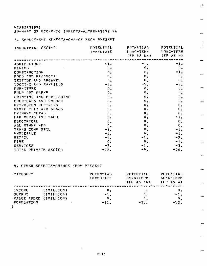
4. EV’P,OYMF:~IT EYFk:rTS-CHAhlcF FRflH. PRFSp::hlT
I rJDlJSTP T 4L swrrlR PCITEKTl Ala PliTk’kTIAI, PC’TF’h’T 1 AL TMKFDl ATE l,f1IUC.-TF:Pv IoONG-?‘&RM
(FP AS fv*) (FP AS W) ----111-------1---------------~-------------------------------------- AGHICUCT’JRE YTNTh’G COhiSTRIJcTX~~l~ Ffbnl> AND PR\IPf!CTS TEXTTLE AND APPAREL LDGGING AIJI! SAiJC ILLS FIJRN ITl!RE PULP AND PAPYR PRThITT”!G APfD PIIr.L,TSr~I~G CHEh?TcAl,S APJI, !?IlF(DF,R PFTRIILEIJY REFT’JI UG STnNF CLAY PNI, GlshSS PRIMARY WETAL FAP METAL AFIt) YAcb FLECTRTCAL ALL I1THFR UPC, TRAWS COYM IITIL WHt-‘It.ESALE RETAIL FIRE SERVTCES TnTAC PRIVATE SECTOR
P. OTHER EFFECTS-CHAdGF k’RC?Fr PRESEN’T
-1. 0. n. li. 0.
-S. 0 . 0. f! l
c.
0 .
0.
0.
0.
0.
0.
-1.
-1.
-1.
0.
-2.
-12.
CATEGORY PrlTFNTf AL 1 P )t. E P I A ‘1’ F’
-1. 0. 0. 0. 0.
-5. 0. 0. 0. ‘J. 0. 0 - . 0. 0 . 0. ‘1 . 0. 0.
-1. 0.
-1. ‘9.
POTEF:T I Al, POTC’NTJ: A 1, tnrvc-7EPk LCI’JG-TF:PM (FP AS ?Jti) (FP AS ki)
-1. 0 .
-1. 0. (J .
-8. 0. 0. 0. 0. 0. 0. 0.
-1. 0. 0.
-1. -1. -2. -1. -3.
-20.
-
--------------II----------------~------------------------------------
I NCOYF: (St-41 LLT9N) 0. 0. 0. OUTPUT ($vJJL1l,JoNl -1. 0. -1. VAI,lJE ADDF:D (SYXLIoION) 0. 0. 0 . POPIJLATInN -31. -25. -52.
1 -
-
F-10

I I I I I I I l I I l I l I 1
I
4
l,
I
IrJf>1lSTRT AL S?‘CTPR PnTFNTJ AL PnTF:Ir:TI 41, PUTErJT I AI, 1 bMEl.11 ATF I,[‘:hG-TFPM LONG-TERM
(FP AS NW) (FP AS Ik’) Irrrrr-r..r-rrrr-rl----~-----~~~~.-~~------~-~--~-~-~~-~-~--~-~~~~~-~~ A(;R KCUl,TlJPE YTMTNG CnMSTRlJCTTf-Ifu FflCID AND PPf7nllCTS TF.XTlI,E Ah’!0 APPARFL I,nGGTNG bvn SAvJHILLS FflRNTTIlPE PUl,P ANI-1 PAPER PRTtdTI”;G AND PlfPl,lSHINT, CHEMTCALS ANP RIIPI\FP PFTWOLEU” WEFIN 1 f(r; STFIIJF CLAY Ahclr C.L.nSS PRIMARY METAL F4R MSTlnl., Ar;fI MAC‘I El,DCTY TCAL ALI, flTHF.R YF;r; TRAnJS CfiMu lJTT:L WHnI,ESALE PETA TL FIRF: SERVTCES TOTAl, PRIVATE SFCTI!R
0. n. 0. 0 l
0.
0.
0.
0.
0.
0.
0:
0.
0.
0.
0 .
0.
0.
0.
1. 0. I. 4.
0. 0. 0. 0. 0. 0. 0. 0 . 0. 0. 0 . 0. 0. 0. 0. 0. 0. 0. 1. 0. 1. 4.
CATEGOYY PClTFF;TT A!, PflTEh’Tl AL POTb:NT t AL IMMFPTA’I’E LUNG-TERM TXING-TERM
fFc> AS NW1 (FP AS b) --------“IIIIIIIIIII----------------------------~-----------~-------- T RI c l-l v F: ( $ Y T I.0 I.8 1 n P 1 (1. 0. n - . nllTPllT (S~JI,l.LO~! I 0. 0. 0. v4t1i.It? nnnen fsMrI,r,Jr~r!) 0. 0. 0. PfiPilLA-l’T~N 11. il. 11.
F-11
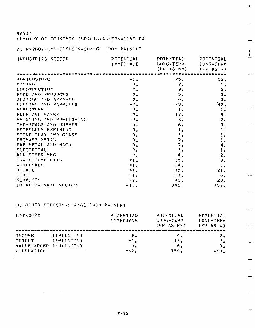
-
TEXAS SlIMMARY OF FCIltJnb’JC J”:PA(‘TS-AI,‘l’FPrrA1’IVE PA
A. F’+PI,QY b’sF:rJT F,:F’FF:C’l’S-Chbh!C;E FRflhr. PPESF’VT
t NPllSTRl AI, SYCTDP POTEIi’I 1 AJO Pfl7 KNTTAL POTENTIAL lVVFl?TATE L,flF;G-‘ZEPt? IoCING-TERM
(F’P as Nti) (FP AS ‘IJ) -----“-1-“1----“-“---““--“-------”------”-----”---------------------”
-1. 0. n . 0. 0.
-7. 0. (1 . 0. 0. 0. 0. 0. 0. 0. (1 .
-1. -1. -1. -1. -2.
-16.
25. 2. R. 5. 6.
R3. 1.
17. 3 . . 6. 1. 3. 2.
:: 4.
15. 14. 35. 11. 41.
291.
Pr)TFkTTAJ, PnTE.:NT 1 A I, LONG-TERM LONC-TERM (FP as Nh) (FP AS k)
12. 1. 5. 3. 3.
‘42. 1. A. 2. 3. 1. 1. 1. 4. 1. 2. 0. 7.
21. 6.
23. 157.
1-1--------““----1-1”-“““-----““----”---------”--“-------------------
I NCfl~k: (SMI LLIflhJ 1 ‘0 l 4. 2. fl!JTPUT (Sk?1 Tvl,Trl% I -1. 13. 7. VAltllF Al?!nF,n (S!~J L,Lfnhll) 1) . 6. 3. pIlPl.ll,A’f’J~l~! -42. 759. 410.
1
-
-
-
-
-
-
-
-
-
-
F-12
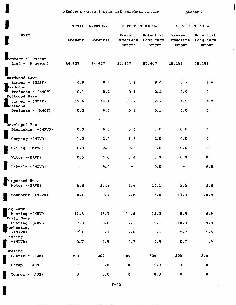
I RESOURCE OUTPUTS WITH THE PROPOSED ACTION ALABAMA
I I
UNIT
ommercial Forest Land - (M acres)
I Hardwood Saw-
B
timber - (MMBF) ardwood
Products - (MMCF) Softwood Saw-
6 timber - (MMBF)
oftwood Products - (MMCF)
I Developed Rec.
Picnicking -(MRVD)
Camping -(MRVD)
I Skiing -(MRVD)
Water -(MRVD)
1 Unbuilt -(MRVD)
P ispersed Rec. Motor -(MRVD)
1 Nonmotor -(MRVD)
I” ig Game Hunting -(MRVD)
Small Game
P
Hunting -(MRVD) onhunting
-(MRVD) Fishing
I -(MR&)
Grazing
4 Cattle - (AUM)
Sheep - (AUM)
1 Common - (AlJM)
TOTAL INVENTORY OUTPUT-FP as NW OUTPUT-FP as W
Present Potential Present Potential Present Potential Immediate Long-term Immediate Long-term
Output Output Output Output
64,627 64,627 57,407 57,407 18,191 18,191
4.9 4.6 8.4 0.7 2.6
0.1
12.6
0.2
0.0
1.2
0.0
0.0
6.8
4.1
11.3
7.0
2;1
0.7
300
0
0
9.4
0.2
14.1
0.2
0.0
2.0
0.0
0.0
9.0
10.3
9.7
13.7
9.0
3.1
0.9
300
0.0
0.0
0.1 0.2 0.0 0
10.9 12.2 4.9 4.9
0.1 0.1 0.0 0
0.0 0.0
1.2 2.0
0.0
0.0
0
0
0.0 0.0 0.0 0
0.0 0.0 0.0 0
9.0 6.0
6.6 10.1 2.5 3.8
.7.8 13.4 17.3 20.8
11.0 13.3 5.8 6.9
7.1 9.1 10.0
2.6 3.6 5.2
9.8
5.5
0.7
300
0
0
0.9
300
0.0
0.0
0.7
300
0
0
.9
300
0
0
F-13

RESOURCE OUTPUTS WITH THE PROPOSED ACTION FLORIDA
TOTAL INVENTORY OUTPUT-FP as NW OUTPUT-FP as W
UNIT Present Potential Present Potential - Present Potential Immediate Long-term Immediate Long-term
Output Output Output Output -
Commercial Forest Land - (M acres) 84,964 84,964 70,864 70,864 32,542 32,542 -
Hardwood Saw- timber - (MMBF)
Hardwood Products'- (MMCF)
Softwood Saw- timber - (MMBF)
Softwood Products - (MMCF)
0.0 0.7
0.0 0.1
0.0
0.0
2.0
0.9
0.7
0.1
1.8
1.0
0.0
0.0
1.0
0.4
.2 ..-
0 -
1.0
.5 -
2.0 1.8
1.1 1.3
Developed Rec. Picnicking -(MRvD) 6.2 11.0
8.0 17.0
0.0 0.0
27.6 56.4
2.0
2.2
4.0
0.0
0.6
1.0 -
1.0
0
0 -
0
3.0
10.0
0.0
2.4
1.0
1.0
1.0
0.0
0.0
Camping -(MRVD)
Skiing -(MRVD)
Water -(MRVD)
Unbuilt -(MRVD)
Dispersed Rec. Motor -(MRVD) 25.6 60.0
14.8 39.9
13.4
23.0
35.0
38.8
6.4
29.2
17.0 -
35.8 Nonmotor -(MRVD)
45.5
17.4 -
14.5 -
18.6
Big Game Hunting -(MRVD)
Small Game Hunting -(MRVD)
Nonhunting -(MRVD)
Fishing -(MRVD)
32.2 71.0 32.2
9.8 25.2 9.8
62.2
24.4
17.8
49.8
31.9
9.8
8.1
17.4
4.6 19.4 6.1
18.0 73.8 18.0
Grazing Cattle - (AUM)
- 10,752
0 -
0
3,336 13,290 3,336 13,290
0.0 0.0 0.0 0.0
0.0 0.0 0.0 0.0
3,336
0.0
0.0
Sheep - (ATJM)
Common - (A M)
F-14
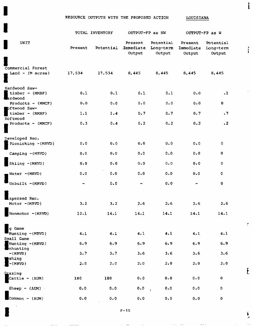
I I RESOURCE OUTPUTS WITH THE PROPOSED ACTION LOUISIANA
TOTAL INVENTORY OUTPUT-FP as NW OUTPUT-FP as W
I UNIT Present Potential Present Potential Present Potential .Immediate Long-term Immediate Long-term
Output Output Output Output ; t
I Commercial Forest
Land - (M acres) 17,534 17,534 8,445 8,445 8,445 8,445
Hardwood Saw-
I, timber - (MMBF) rdwood Products - (MMCF)
P
ftwood Saw- timber - (MMBF)
Softwood
0.1
0.0
1.1
0.3
0.1 0.1 0.1
0.0
0.7
0.2
0.0 .l
0.0 0
0.7 .7
0.2 .2
0.0 0.0
1.4 0.7
0.4 0.2
I Products - (MMCF)
Developed Rec.
I Picnicking -(MRVD) 0.0
0.0
0.0
0.0
0.0 0.0 0.0 0.0
0.0 0.0 0.0 0.0
0.0 0.0 0.0 0.0
0.0 0.0 0.0 0.0
0.0 0.0
Camping -(MRVD)
I Skiing -(MRVD)
Water -(MRVD)
Unbuilt -(MRVD)
l spersed Rec. Motor -(MRVD) 3.2
1 Nonmotor -(MRVD) 12.1
3.2 2.6 2.6 2.6
14.1 14.1 14.1 14.1
2.6
14.1
g Game Hunting - (MRVD) 4.1 4.1 4.1
6.9 6.9 6.9
4.1 4.1 4.1 Small Game
I Hunting -(MRVD) nhunting -(MRVD)
I
shing -(MRVD)
6.9 6.9 6.9
3.6 3.6 3.6
2.0 2.0 2.0
3.7 3.7 3.6
2.0 2.0 2.0
E " ating
a Cattle - (AUM)
Sheep - (AUM)
I Common - (AUM)
180 180 0.0
0.0 0.0 0.0 i
0.0 0.0 0.0
0.0 0.0 0
0.0 0.0 0
0.0 0.0 0
1 F-15
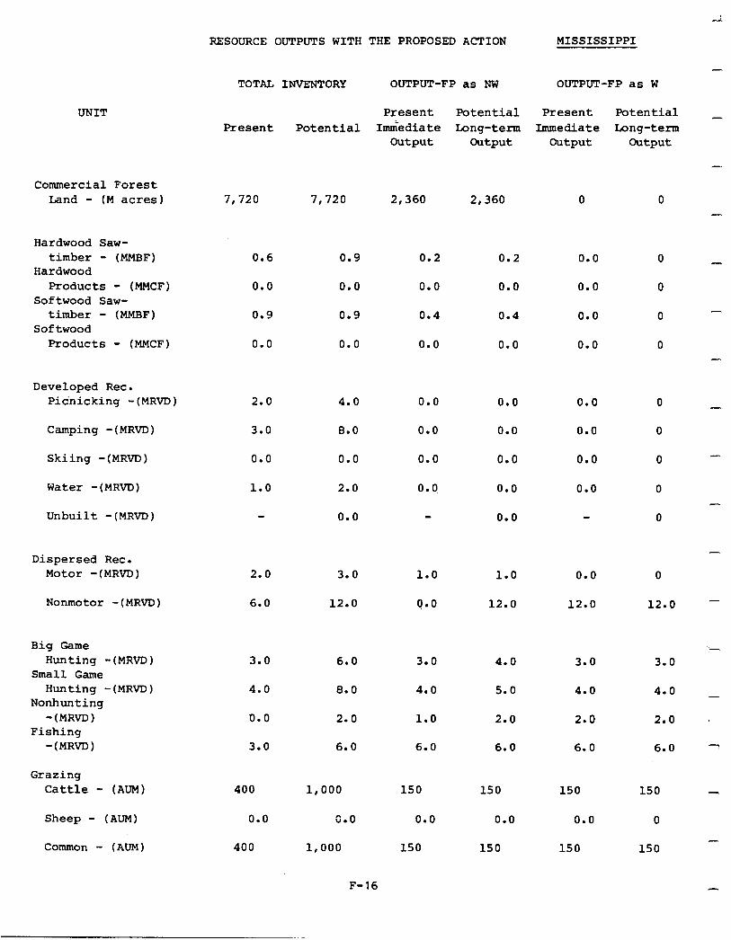
RESOURCE OUTPUTS WITH THE PROPOSED ACTION MISSISSIPPI
-
UNIT
Commercial Forest Land - (M acres)
Hardwood Saw- timber - (MMBF)
Hardwood Products - (MMCF)
Softwood Saw- timber - (MMBF)
Softwood Products - (MMCF)
Developed Rec. Picnicking -(MRVD)
Camping -(MRVD)
Skiing -(MRVD) 0.0 0.0 0.0 0.0 0.0
Water -(MRVD)
Unbuilt -(MRVD) 0.0 0.0
Dispersed Rec. Motor -(MRVD)
Nonmotor -(MRVD) 6.0 12.0 0.0 12.0 12.0
Big Game Hunting -(MRVD)
Small Game Hunting -(MRVD)
Nonhunting -(MRVD)
Fishing -(MRVD)
Grazing Cattle - (AUM)
Sheep - (AUM)
Common - (AUM)
TOTAL INVENTORY OUTPUT-FP as NW OUTPUT-FP as W
Present Present
Potential Immediate Output
Potential Long-term
Output
Present Immediate
Output
Potential _ Long-term
Output
7,720 7,720 2,360 2,360 0
0.6 0.9 0.2 0.2 0.0
0.0 0.0 0.0 0.0 0.0
0.9 0.9 0.4 0.4 0.0
0.0 0.0 0.0 0.0 0.0
2.0 4.0 0.0 0.0
3.0 8.0 0.0
0.0
0.0 0.0
1.0 2.0 0. 0, 0.0 0.0
2.0 3.0 1.0 1.0 0.0
3.0
4.0
0.0
3.0
400
0.0
400
6.0 3.0 4.0 3.0
8.0 4.0 5.0 4.0
2.0
6.0
1.0 2.0
6.0 6.0
2.0
6.0
1,000
0.0
1,000
F-16
150
0.0
150
150
0.0
150
150
0.0
150
0 -
0 -
0
0 -
0
0
0
0 -
0
0
-
0
12.0 -
i 3.0
4.0 _
2.0 '
6.0 7
150 -
0 -
150
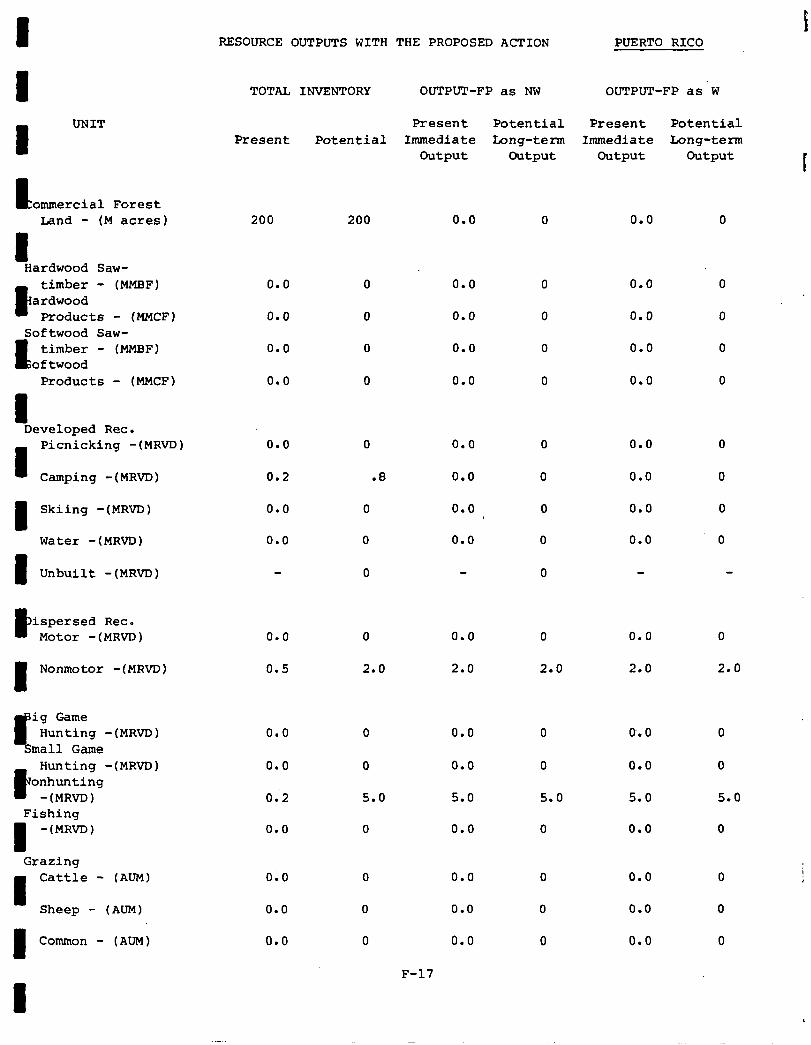
I RESOURCE OUTPUTS WITH THE PROPOSED ACTION PUERTO RICO
I I
UNIT
E ommercial Forest Land - (M acres)
I Hardwood Saw-
R
timber - (MMBF) ardwood
Products - (MMCF) Softwood Saw-
I; timber - (MMBF)
oftwood Products - (MMCF)
I Developed Rec.
1
Picnicking -(MRVD)
Camping -(MRVD)
1 Skiing -(MRVD)
Water -(MRVD)
1 Unbuilt -(MRVD)
P ispersed Rec. Motor -(MRVD)
I Nonmotor -( MRVD)
P
ig Game Hunting -(MRVD)
Small Game
R
Hunting -(MRVD) onhunting
-(MRVD) Fishing
I -(MRVD)
Grazing Cattle - (AUM)
Sheep - (AUM)
I Common - (AUM)
TOTAL INVENTORY OUTPUT-FP as NW OUTPUT-FP as'w
Present Potential Present Potential Present Potential Immediate Long-term Immediate tong-term
Output Output Output Output t
200 200 0.0
0.0 0 0.0
0.0 0 0.0
0.0 0 0.0
0.0 0 0.0
0.0 0 0.0
0.2 .8 0.0
0.0 0 0.0
0.0 0 0.0
0
0.0 0 0.0
0.5 2.0 2.0
0.0 0 0.0
0.0 0 0.0
0:2 5.0 5.0
0.0 0 0.0
0.0 0 0.0
0.0 0 0.0
0.0 0 0.0
F-17
0
0
2.0
0
0
5.0
0
0.0
0.0
0.0
0.0
0.0
0.0
0.0
0.0
0.0
0.0
2.0
0.0
0.0
5.0
0.0
0.0
0.0
0.0
0
0
2.0
0
0
5.0
0
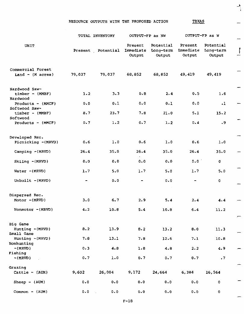
RESOURCE OUTPUTS WITH THE PROPOSED ACTION
TOTAL INVENTORY OUTPUT-FP as NW OUTPUT-FP as W
TEXAS
UNIT
Commercial Forest Land - (M acres) 79,037 79,037 68,852 68,852 49,419 49,419
Hardwood Saw- timber - (MMBF)
Hardwood Products - (MMCF)
Softwood Saw- timber - (MMBF)
Softwood Products - (MMCF)
1.2 3.3 0.8 2.4 0.5 1.6
0.0 0.1 0.0 0.1 0.0 .l
8.7 23.7 7.8 21.0 5.1 15.2
0.7 1.2 0.7 1.2 0.4 .9
Developed Rec. Picnicking -(MRVD) 0.6 0.6 1.0 0.6
Camping -(MRvD) 26.4
1.0
35.0 26.4 35.0 26.4
1.0
35.0
Skiing -(MRVD) 0.0 0.0 0.0 0.0 0.0 0
Water -(MRVD) 1.7 5.0 1.7 5.0 1.7 5.0
Unbuilt -(MRVD) 0.0 0.0 0
Dispersed Rec. Motor -(MRVD) 3.0 6.7 2.9 5.4 2.4 4.4
Nonmotor -(MRVD) 4.2 10.8 5.4 10.8 6.4 11.2
Big Game Hunting -(MRVD)
Small Game Hunting -(MRVD)
Nonhunting -(MR~)
Fishing -(MRVD)
8.2 13.9
7.8 13.1
8.2 13.2
7.8 12.6
8.0 11.3
7.1 10.8
0.3
0.7
4.8 4.8 2.2 4.9
1.0
1.8
0.7 0.7 0.7 .7
Grazing Cattle - (AUM)
Sheep - (AUM)
Common - (AUM)
9,602
0.0
0.0
26,004 9,172 24,664 6,384
0.0 0.0 0.0 0.0
16,564
0
0.0 0.0 0.0 0.0 0
Present Potential Present Potential Present Potential
Immediate Long-term Immediate Long-term output output Output Output
-
I
-
-
-
-
-
-
^
-
-
-
F-18
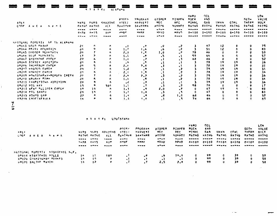
em-- r(UBF VI--
1:; 2.5 1.1 I.1
.b 2 . c
1.2 2.1 2.b 1.0
.L 1.1 1.3 1.7 1.u 1.5
3 3
78 59 6%
3 3
i 3 3 3
50 0 0
68 74
12 12
0 0 0
19 t9 19 19 19 19
19 0
19 0 U 0
0 a 0 0
190 19 19 13 19 19 19
0 n 0 n 0
0 0 0 0 0 0 0 0 0 0 0 0 0 0 0 0 0
75
f8 57 52 36
3: 36 36 3A 36 17 80 00 SE 83
P4RO WCU ~lw4L PATNG
LOk VALUE BULK WAtNG -m..m o-1 00 Wm.-.
AQkf
Cm= AREA f( A Cc t
NAlTljUAL FuRE~Tr KTSAlrnlt k,F. OPOlU RISLlrnit WcrLLS 16 11 10n .J on170 C~I~,N~UI;C~AV RCAhFS 1n II) n .l
QQ 99
0 0
39 39
0 0
50 50
Vnl?l SALI~F RAV(lll 10 17 n .7 .’ 2.0 0 99 u 39 0 so
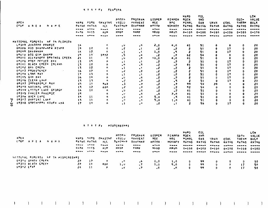
Fl FLbRInA
APEA
C”lJF AREP N A Cc E I-m-
U-38 --mm
16 19 Ir, 1C I?1 15 I? 15 lb 17 16 11 l< 11 16 1c 19 11 17
NATfO"lAL FDnEQTt NF TN FLOPIDA Ln3n9 JCtNTPFR ParRIF On006 MUD SC!AMP-NFW RIVFR OS009 SAVANNAH
OQOlu BTG GtlM SuA'-'P OR011 ALtYANDFR SPkTNJFS CPEEK Olno PnST nFFICE @4r Oqlr)l BLACK CDEF” IgLA#n Cfiln,? kIAV CREFn onin PQOVIQCIYCF onin LrlNr. RAV OR105 GllM t\bV 09l”b CLE4R LAKF OAln7 IrPAs!alnLF RAV oalnb hAruubL ADEA
OAlnY LTTTLF LAbk GFURGF @n3n5 FANLEq PkAlQIE: Ua)nb t)rlCK 1A”E
': 093"7 PAPTIsT L4FF
=: o9JnB 5flPC~nPDv WIVFW n5A
n
n ::: n .I
lfl7i! .5 n .b n .1 n n :f n n :: n .b n
“60 ::
bnn .2 n .u n . 1’ n .u n .Q n .I
.n
.l
.I
.4
.n
.I
.3
.I 2 .
.I
.n
.?
.?
.p
.d
.n
.n
.n
.n
a.0 .Z .5
? &I
.2
:5 .Z .? .? .t .?
:5 7.n
5 I:0
.I
LOW VALUE 8ULM RATNG -I.-- 0-100 -mm-m
so 50 50
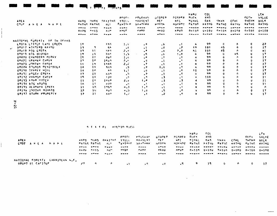
AREA CWF P h E A NAPS
NATT@"AL FUpESTr E-F TN IFIAS LaO!b LTTTLF LA”t CREEK
.+:. UaUl 7 ivT~:TtaS ~AIWJ
09~18 PTG LPEFN OnOq9 bfG SI.Ll!IGh ()Rl-J?O CHA*(l?Fl?S Ft PkY OR071 l;aA”b” CHFt’f 08023 JrlOPbU CPFCN
~A024 E-bNDS PfNlt’SItLA
09170 Tl'kKkV Wll L
09111 PnGGr CQEFfi oA112 H(A~‘Q*! t14FtK OR113 Fnllo “IlTCU
04134 bTG *nUnS OR115 Al ARAb’A CpkFk OR\1 lb J ‘JDIAFi MillrhnS
OR117 STARK F’~uf’EPlY
AQEA CnDF A Cc E A hbt't
QATrJC
1 11 Ifi II in 10 11 10 11 11 lf 11 ln 1 0 11
NATIONAl FnQlcT: CAFQIQtAh k.F, oA0~7 f.1 t4fIWF (‘7 r) n .b
.b
.U
.lJ
. b
.I
.l
1:: .I .1 .3 .J .I .1 .5 .z
.I
.? 2.0 1 .o
::
.l .” .fi .n .l . .: .1 .n .n
99
ton ton
90 90 90 99 99 99 90
ton VP 99 v9 99 99
15
0 4 5 05
u 0 0 0 0 0 0 0 0 0 0 U 0
0
n n II
UC n n n
n n n n n
n n
n n
n
0 0 0 0 0 0 0 0 0 0 0 0 U u 0 b
0
t?? 17 61 17 17 17 17 17 17 17 11 11 11
n
17 17
17

-
I -
-
-
-
-
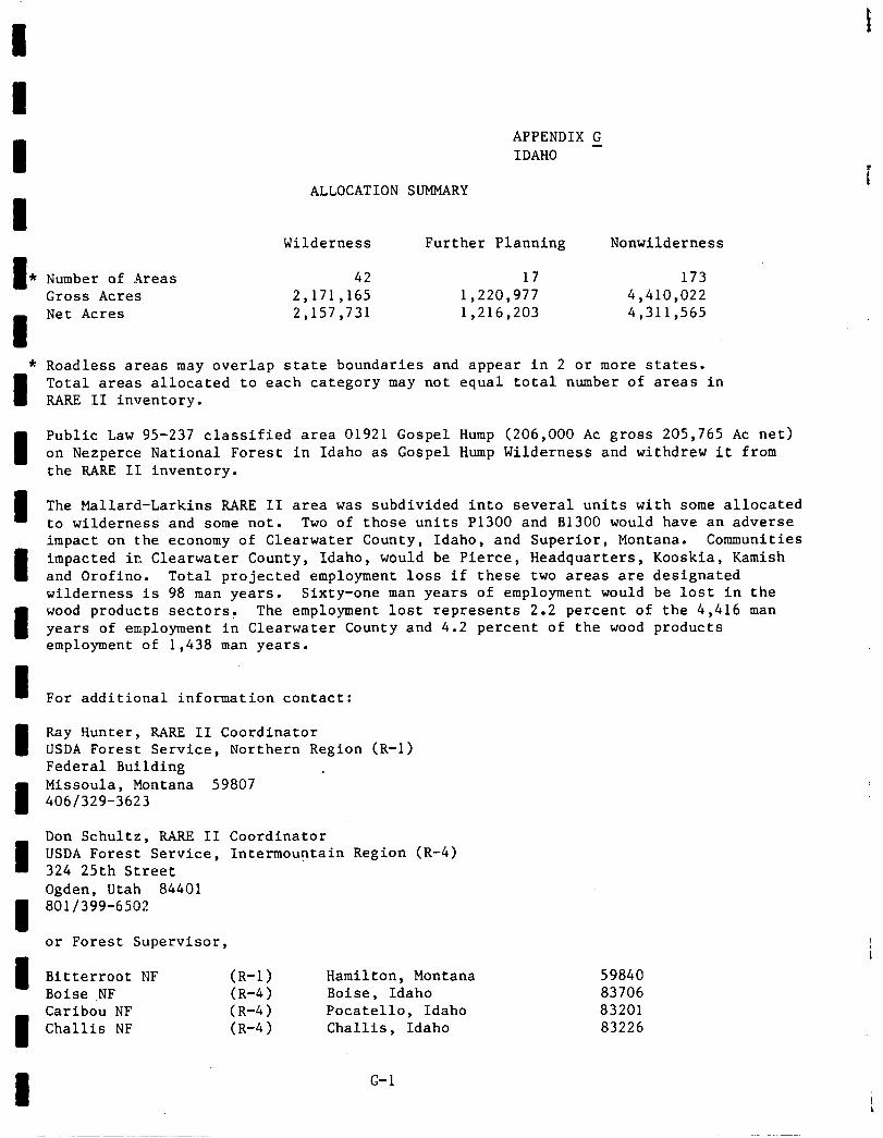
f
APPENDIX G IDAHO -
ALLOCATION SUMMARY
Number of Areas Gross Acres Net Acres
Wilderness Further Planning Nonwilderness
42 17 173 2,171,165 1,220,977 4,410,022 2,157,731 1,216,203 4,311,565
Roadless areas may overlap state boundaries and appear in 2 or more states. Total areas allocated to each category may not equal total number of areas in RARE II inventory.
Public Law 95-237 classified area 01921 Gospel Hump (206,000 AC gross 205,765 AC net) on Nezperce National Forest in Idaho as Gospel Hump Wilderness and withdrew it from the RARE II inventory.
The Mallard-Larkins RARE II area was subdivided into several units with some allocated to wilderness and some not. Two of those units P1300 and B1300 would have an adverse impact on the economy of Clearwater County, Idaho, and Superior, Montana. Communities impacted in Clearwater County, Idaho, would be Pierce, Headquarters, Kooskia, Kamish and Orofino. Total projected employment loss if these two areas are designated wilderness is 98 man years. Sixty-one man years of employment would be lost in the wood products sectors: The employment lost represents 2.2 percent of the 4,416 man years of employment in Clearwater County and 4.2 percent of the wood products employment of 1,438 man years.
For additional information contact:
Ray Hunter, RARE II Coordinator USDA Forest Service, Northern Region (R-l) Federal Building . Missoula, Montana 59807 4061329-3623
Don Schultz, RARE II Coordinator USDA Forest Service, Intermountain Region (R-4) 324 25th Street Ogden, Utah 84401 801/399-6502
or Forest Supervisor,
Bitterroot NF (R-1 > Hamilton, Montana 59840 Boise NF (R-4) Boise, Idaho 83706 Caribou NF (R-4) Pocatello, Idaho 83201 Challis NF (R-4) Challis, Idaho 83226
G-l
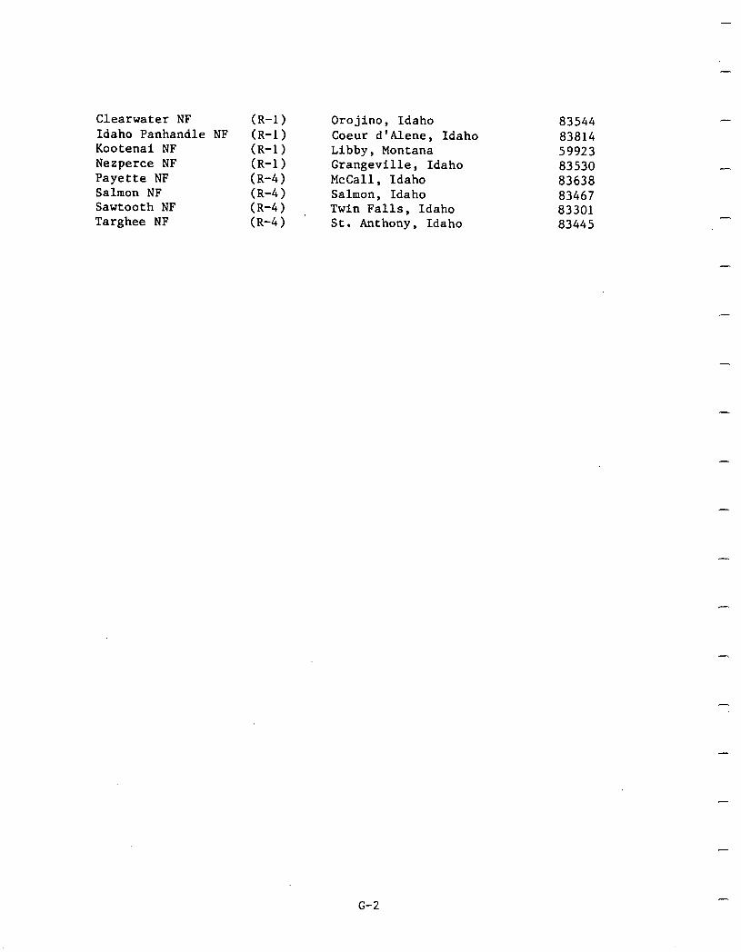
-
Clearwater NF Idaho Panhandle NF Kootenai NF Nezperce NF Payette NF Salmon NF Sawtooth NF Targhee NF
(R-1 > (R-1 > (R-1 > (R-1 > (R-4) (R-4) (R-4) (R-4)
Orojino, Idaho 83544 Coeur d'Alene, Idaho 83814 Libby, Montana 59923 Grangeville, Idaho 83530 McCall, Idaho 83638 Salmon, Idaho 83467 Twin Falls, Idaho 83301 St. Anthony, Idaho 83445
-
-
-
-
-
G-2

I I I I 1 I I I I I I I I I I I I I I
Coeur
c
I
LEGEND
WILDERNESS
FURTHER PLANNING
NON-WILDERNESS
National Forest System Lands
Existmg or Administratively Endorsed Wilderness Areas
G-3
E
i. 1
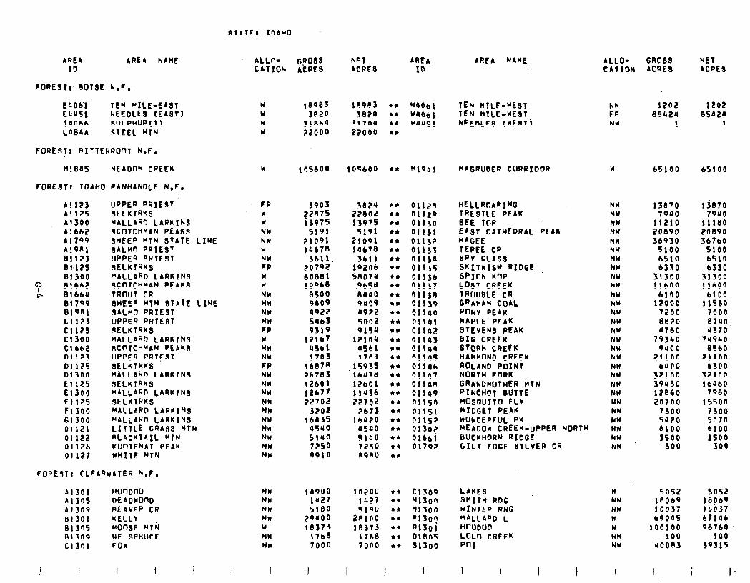
St4TF: IDAHO
AREA ARE4 hAME ALL+ G?oas hFT AREA 10 CATION ACRES PCRES ID
FORESTI BOISE N.F.
E4Ob’l TEN RILE-EAST EUU51 NEEDLES (EAST) 14066 SULPHURCT) L4B4A I91EEl MTN
FOREST8 RItTERROnT N.F.
w W W W
18985
3020 3lRbQ ?2000
10963 l * 5820 l *
31704 ** 22oou l *
N406i TEh HTLF-WEST NW l2n2 1202 W406j TEN KTLE-WEST FP s542U 85424 WU451 NEEBLFs (NESTi NW 1 1
Ml845 KEADUK CREEN
FOREsTr TDAHO PANHAhDLE N.F.
W 105bOO 105600 44 MlQ41 MAGRUDER CORRIDOR W 65100 65100
Al 123 UPPER PRIEST FP Al125 SELKTRKS W Al300 MALLARD LARKINS W Plbb2 9COTCHMAN 'PEAKS NW Al799 SHEEP KTN STATE LINE NW Al9Rl SAl.Mfl RRTEST W 81123 lIPPER PRIEST NW 81.125 SELKTRKS FP 81300 MALLARD LARKTNS W
": 81662 SCOTCHMAN PEAKS W P 81 bbU TRtllJT CR NW
Bl'l99 SHEEP MTN STATE LSNE NW Bl9Kl S4LMl PRIEST NW Cl123 UPPER PRIEST NW Cl125 SELKIRK3 FP Cl300 MALLAHo LARKTNS W Cl662 ~~I~TCHMAN PE4ks NW 01123 UPPER PRIEST NW 01125 SELKTRKS FP Dl300 MALLARD LARKINS NW El 125 BELKTRKS NW El 300 MALLARD LARKTNS NW Fll;r5 SELKlRKS NN F1300 MALLARD LARKTNS NW Gl 300 M4LLARfi LARKTNS NW 01121 LITTLE GRASS hTN NW 01122 RLACY74IL WTN NW 01 I?6 KOf-lTFhAI PF4K NW 01 I27 WHITF BTN NW
FORESTI CLFARk4TER h.F.
A1301 WOODOU NW 1u000 lnzau l * c15oo Al305 DEAOWOnD NW 1~27 I427 l * K13on 413av PEdvFR CR Nk 5100 SIP0 l * NlSon BlJOl KELLY NW 29400 2nlno l *
MOfTSF KTh PiSon
81305 W 18373 IA373 l * alsoi B1309 NF SPRUCE NW 17b8 1768 l * QlAOf c13n1 FOX NW 7000 7ono l * s1300
I I
3005
5:::3 5l91
21091 14678
3611 ?0792 60881 10968
es00 9009 4922 5463 9319
12167 US61 1703
lb@78 26783 12601 12677 22702
3202 ib43s
45uo 5190 7250 9910
I
1824 l *
22802 l *
13975 l *
5191 l * 21091 l * 14678 l *
3611 l *
192Ob l * seo7u l *
.9658 l *
8440 ++ 9009 l *
49?2 ++ 5002 l +
9154 44
12104 l * as61 l * 1703 l *
,159fS l *
16038 l * 12601 l * Ilo l *
22702 l +
2b73 l *
lbU?O 41
4540 l *
5140 l *
7250 l +
R9RO 44
1 1
Oll2R a1129 01130 01131 01132 Oll33 01134 01135 bl!Sb 01137 0113n OllS9 01140 0114I 01142 01143 alla4
.01109 01’146 01147 Oilan OllU9 nii5n 01151 01152 0130? 01661 017VZ
ARCA NAME
HELLRUARING NW 13870 1je70 TRESTLE PEAK NW 7940 7940 BEE TOP NW 11210 111110 EAST CATHEDRAL PEAK NW 2osqo 20890 hAGEE NW 36930 S6tbO TEPEE CR NW 5100 5100 SPY GLASS NW bS10 65.10 SKITWISH RIDGE NW 63JO bS30 SPION KOP NW 31300 31500 LOST CREEK NW 11600 1 lb00 TROUBLE CR hW 6100 6100 GRAHAM COAL PONY PEii -
hW 12000 11580 NW 7200 7000
MAPLE PEAK NW 8820 8740 STEVENS PEAK NW 47bO 4370 BIG .CREEK NW 79340 7uquo 810~k cREFK NW quo0 8540 HAh~ONO CREEK hW 2IlOO 21100 RoLAhD POINT NW 6000 bSO0 NORTH FORK NW 32100 32100 GRANDMOTHER WN NW 39430 1 b4bO PINCHCIT BUTTE NW 12860 7980 h~slJlJfT~ FLr NW 20700 1ssoo MIDGET PEAK hW 7300 7300 hGhDERFUL PK NW 5U20 5070 HEAOOW CREEK-UPPER NORTH NW 6100 6100 BUCKH@RN RIDGE NW ssoo 3500 GILT tDGE SILVER CR hW 300 300
LAkES SMITH RDG WfiTER RiG "ALLARD L huUDun
%" ItREEK
4LLO- CR@89 NET CATION ACRES ACRES
W 5052 SOS2 NW 18069 lsob9 NW 10037 10637 W 69045 67146 W 100100 98760. NW 100 100 NW 40083 59315
I I i t-
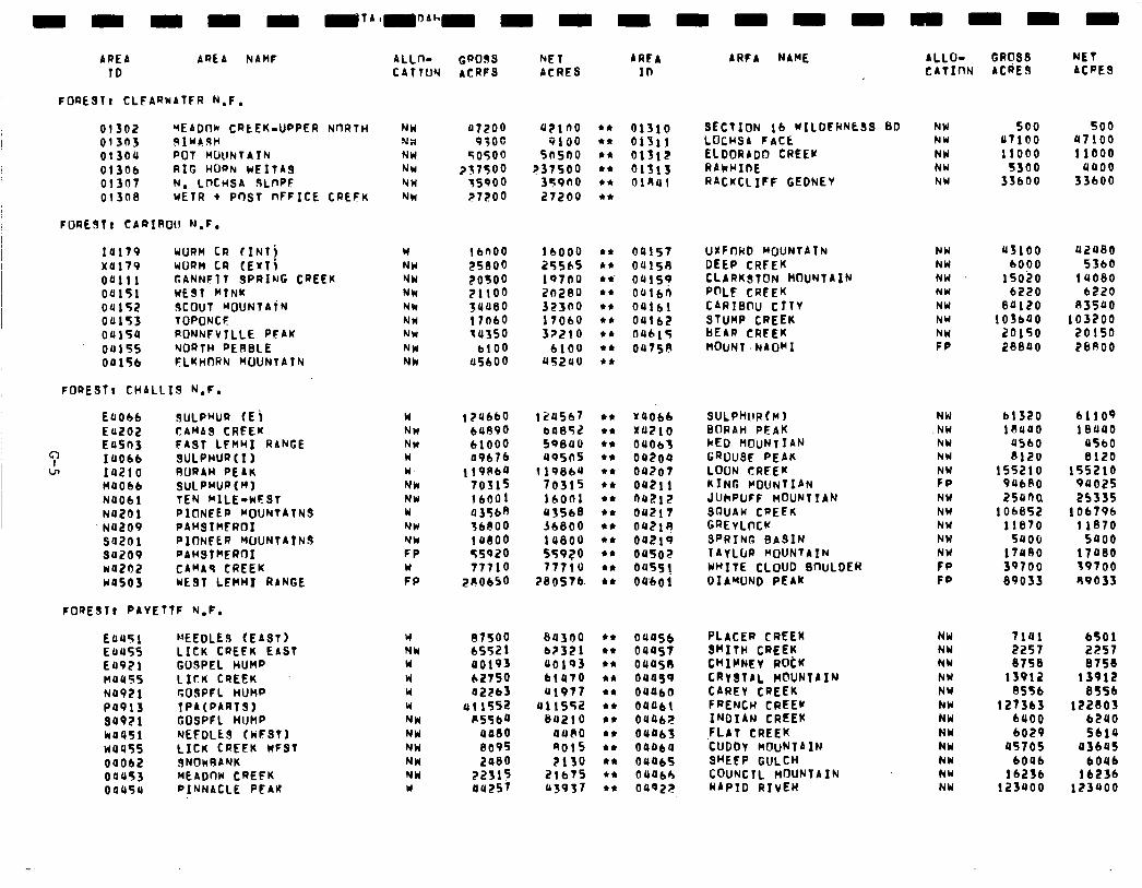
ALLO- GROSS NET CATInN ACdES ACaES
AREA AREA NAMF ALLno Gao9s f+ET AREA 10 CATTUY ACRFS ACRES ID
ARFA NAME
01310 SECTION lb WILDERNESS BD NW 500 500 OlSl! LOCHSA FACE NW 47100 a7100 01312 ELDORADO CREEK NW 11000 11000 61513 RAkCIIDE NW 5300 0400 414Ul RACKCLIFF CEDNEY NU 33600 33600
04lS7 UKFnHD MOUNTAIN NW a3100 42480 04150 DEEP CRFEK NW 6000 5360 OrrlS? CLARKSTON MOUNTAIN NW lSOZ0 14060 oalbn P@LF CREEK NY 6220 6220 04161 CARIBrw CITY NW 84120 83540 04162 STUMP CREEK NW 103b40 103200 0401s BEAR CREEK NW 20150 20150 0475A MOUNT .NAOMI FP 20840 26ROO
FOREST t CLFARHATFR N.F.
01302 VEADnk CRtEK-UPPER NORTH NW 47200 a21no 01303 SIUASH N;i 9;oc 9100 01304 POT MUCINTAIN NW sosoo Snsno 01306 RIG HORN WEITAS NW ?3750O 237500 01307 N, LMWSA ULnf’F NW 75900 359no 013ea wETR t Pm1 nFFICE CREFK NW 27200 27200
FOREST! CARIRO1I N.F.
14179 UURH CR f INlj W lb400 1 bOO0 x4179 UURH CR (EXTj NW ES800 25Sb5 04111 GANNFlf SPRING CREEK NW 20500 19700 04151 WEST HTNK NW 21100 20280 04152 19COUT MOUNTAiN Nk 3U480 32300 04153 TOPONCF NW 1 IO60 17060 0415a RONNFVTLLE PFAK NW 34350 32210 04155 NORTH RERBLE NW 6100 6100 04156 FLKHDRN WLRJNTATN NW US600 US240
FORESfr CHALLIS N.F.
E4Obb SULPHUR (E i W 1 ?a660 124567 Ea202 CAMAS CREEK NW b489o 64852 EaSn3 FAST LFHHI RANGE NW 61000 59840
c 14066 SULPHURtI) W 49676 aosns cn 14210 RORAH PEAK W 119864 1198ba
no066 SULPwJR(“) NW 70315 70315 N4061 TEN MILE-wFSl NW 16r)Ol id001 No201 PICINEEFJ ~IJUNTATNS W 43568 43568 NO209 PAHSIHEROI NW fbl300 36600 s4201 PIONEER WUNTAtNJ NW ladoo laeoo 94209 PAHSTClEROI FP 55920 s5920 *oznz CAMAs CREEK W 77710 77710 WOSOJ WE91 LEHHI RANGE FP ZClObSO 260576.
FOREST) PAYETTF N.F.
E4451 NEEDLE9 (EAST) Y atso S4300 E4455 LICK CREEK EAST NW 6552 1 62321 E4971 GOSPEL HUMP W 40193 40193 noas LICK CREEK w ~2750 b!470 N4921 GOSPFL HUMP u 42263 41977 Pa913 TPA(PARTS1 W 411552 411552 94921 GOSPFL HUMP NW 1\5564 B4210 w4451 NEEDLE9 (WFSTI NW 4480 4480 no455 LICK CREEK WFST NW 8095 9015 04Ob2 SNOkRANK NW 2480 2130 04453 MEADtlW CREEK NW 22315 21675 04454 PINNACLE PEAK W au257 43937
NW NW NW NW
r:: NW NW NW NW NW FP FP
61320 61109 18440 18440
4560 4560 0120 6120
Y4Ob6 SuLPthIRtM) x4210 BflRAH PEAK 04663 kED MOUNTIAN 04204 GROUSE PEAK oa2o7 LOON CRFEK OS21 1 KING COUNTIAN no212 JUhPUFF MOUNTTAN 04217 SGUAW CPEEK oc21u GREYLMK 00219 SPRING BASIN 04902 TAYLDR MOUNTAIN 0455! WRITE CLOUD SnULDER 04601 DIAMOND PEAK
155210 155210 94680 94025 zsani 253is
lOb652 106796 11670 llS70
5400 saoo 17U60 17460 39700 39700 89033 69035
OU4S6 PLACER CREEK 04457 BHITH CREEK 0445n CHIWEY R&K 011459 CRY 8lAL .M@UNTA IN OUUbO CAREY CREEK 04461 FRENCH CREEK OU462 INDIAN CREEK OU463 .FLAT CREEK 04464 CUDDY MOUNTAIN 09465 SHEEP GULCH OUObh COUNCIL MOUNTAIN 0492;? RAPID RIVER
NW 7141 6501 NW 2257 2257 NW 6758 6758 NW 13912 13912 NY 8S5b 6TSb NW 127363 122603 NW 6400 6240 NU 6029 Sbl4 NW 4570s 4364) NW 6046 604b NW 16236 16236 NW 123400 123400
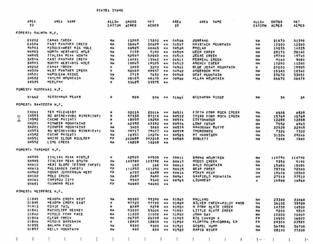
AREA TO
AREA NAHF ALLO- CATTUN
GWISS ACRES
kE T- AREA ACRES ID
AUFA NAME
FOQESTr SALMON N.F.
E4202 CABAS CREEK E4504 FA3T PANTHFR CREEK MO943 MIDDLE-WEST RIG HOLE N4943 NORTH UEST-BTG MILT! NO945 TTALTAN PEAK NORTH 9asnu FAST PANTHFR CREFK 94943 S011TR KEST-BTG HOLE ~4202 CAyA CREEK. wusoa Ut3T PANTHER CPEEK 04501 NAP01 EAN .RIDGE 00502 TAYLDR HDUNTAIN oases YCELFNY
FOREST, KUOTENAI N.F.
NW 13200 i 32no l *
NW 30469 3a429 44
NW aaS 4446s l *
NW 7190 7190 l *
NW 52540 52540 *Cc
NW jaaol 13960 l *
NW 1 Ul3bf 19525 44
W 3200 3240 l *
U 50004 49937 44
NW 7710 7630 44
NW 08io5 aRib 4’4
W 13b25 3357s 44
04504 04507 oason 04509 no510 04511 ass!? n494i 04942 04944 04946
JURFANO ;;:;:;cK MuuNt~Itd
OEEP CREEK JEESE CREEK PERPEAU. CREEK AGENCY CREEK BLUE JOINT MOUNTAIN ANDERSON WTN GOAT WUNTAIN ALLAN MCIUNTAIN
81 bb2 XOTCHM~N PEAKS
FO9ESTt 9ANTOOTH N.F.
u sob SO6 ‘44 Olbbi BUCKHDRN R1DGF NW 39 39
Eaobl TEN RILE-EAST W
“: 14553 30 BcllsE-YUB! RIVER(tNT) W
m 14592 CACHE PKtINTl W NO201 PInNFER MOUNTAIN3 W. 94201 PIONFER MOUNTAINS NW x4553 SO BDISE-YUBA RIyEQ(Ext) Nk X0582 CACHE PK (EXT j Nli 04SSl WHITE CLOUD ROULDER FP 00552 LIME CREEK NW
::o:: 184So 62392
3400 .79717
103Sl 242688
14208
22016 87310 lS25O 62392
3400 7Qa77
g:: 10208
44
l *
44
44
44
44
44
44
l *
09571 oust2 04574 oaf74 04579 oas79 oastl3 OUSEIU
FIFTH F@RK ROCK CREEK THIRD FORK ROCK ‘CREEK COTTONWOOD LONE CEDAR BAHOGANY BUTTE THORORRFD MT HARRISON SUBLETT
FOPEST, TA9GHEF N.F.
n49as ITALIAN PEAK HTDDLE W’ 42500 42soo 44
5490s ITALIAN PEAK. SnUTH NW ! n3780 1037RO 44
W4blO WE91 SLOPE TFTDNS (WFST) NW 160 160 l *
Wabl3 PALISADES (WFST) FP 111250 111250 44
+v4962 BOlJNT JEFFERSUN WEST FP 6700 6688 l *
04160 POLE CREEK NW 2680 ?b(rO 44
oai6i CAQIROU CITY NW 9340 9340 44
OabOl f?IAWiNO PEAK FP 94480 94ano 44
04611 GARNs MOUNTAIN NW t 14790 llU790 046iz MOODY CREEK Nbl 9350 ‘9190 04614 llALD MOUNTAIN NW 15480 1saeo nabi BEAR CRl!EK, NU 78700 T8540 04616 POKER PEAK NY 18600 18560 01961 GARFIELD COUNTATN NW 27510 27510 04963 L IONHEAD W 16860 lbSb0
FOQESTr NE7PERtE N.F.
Cl845 MEbOW CREFK kEST NW 95380 .953AO l * fil8ai BALLARD 01845 MEADnW CREFK EAST W Q772O 97720 44 01849 SILVER CREEK-PILOT KNOB P1913 DIrIF 7AIL W e?Bn R2P8 44 oinsn N FORK SLATE CREEK 01841 RACKCLIFF GEDNEY NW 53000 53OOO l * fil85f LITTLE 9LATE CREEK oisa2 MIDOLE FORK FACE NW 11200 11000 44 OlSS? JOHN DAY 01844 CLEAR CREEK NW 26700 i!b700 ri 01053 BIG CANYON A 01846 MIOOIE BARGAYIN W 12ROO 12800 l * OlSS4 KLOPTDN CR-CORRAL CR OlBSS 3ALnnN FACE NW 9300 9300 44
OlS57 KELLY MOUNTATN 01921 GOSPEL HUMP
NW no0 800 l * 01922 RAP10 RIVER
I I 1 I I I I I I
ALLO- GROSS NET CATION ACRES ACRE3
NW 31470 31390 NW 12300 12300 NW la035 1403s NW 28170 28140 NH 19740 19740 NW 9160 9080 NW 10240 10240 w 20000 19905 NW 18340 18340 NW 3fb70 33bSl NW Ubb70 46670
NW
;:: NW NU NW NW NW
6528 6528 15769 is769 12288 122ss
7552 6963 22S28 22443
7322 7322 31526 29246
7040 7040
NW 23300 23060 NW 3blOO 35920 NW 14700 14500 NW 9200 9200 NW 10000 10000 FP 16500 16500 FP 24300 23520 NW 56780 S6700 NY 28100 27200
I--. I I I-
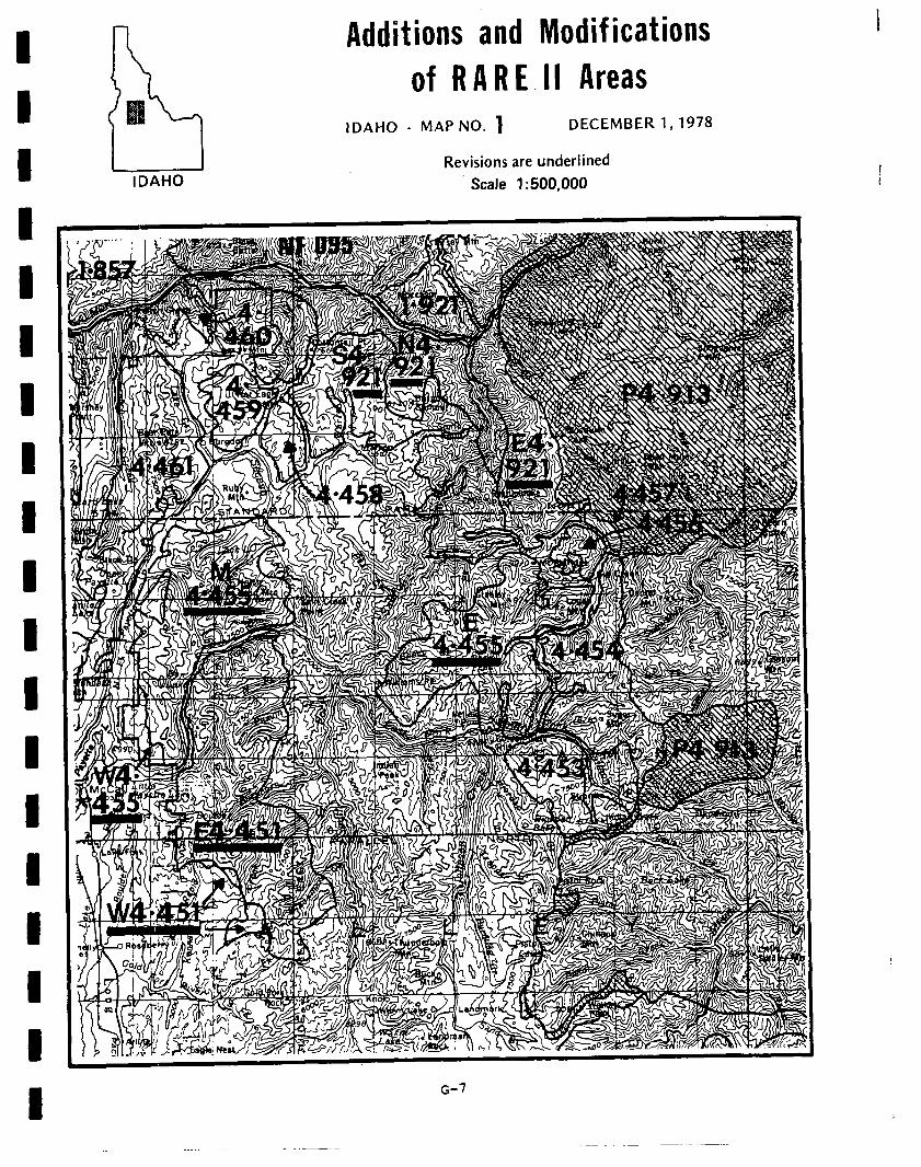
Additions and Modif ications
of RARE.11 Areas IDAHO - MAP NO. 1 DECEMBER 1,1978
I I Revisions are underlined IDAHO Scale 1:500,000
1
1 I
I I 1 I I I 1 I
I G-7
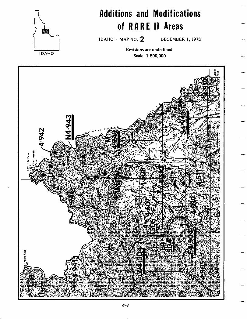
Additions and Modifications of RARE II Areas
IDAHO
IDAHO - MAP NO. 2 DECEMBER 1,1978
Revisions are underlined Scale 1: 500,000
-
-
-
-
-
-
-
-
-
-
-
-
-
-
-
-
-
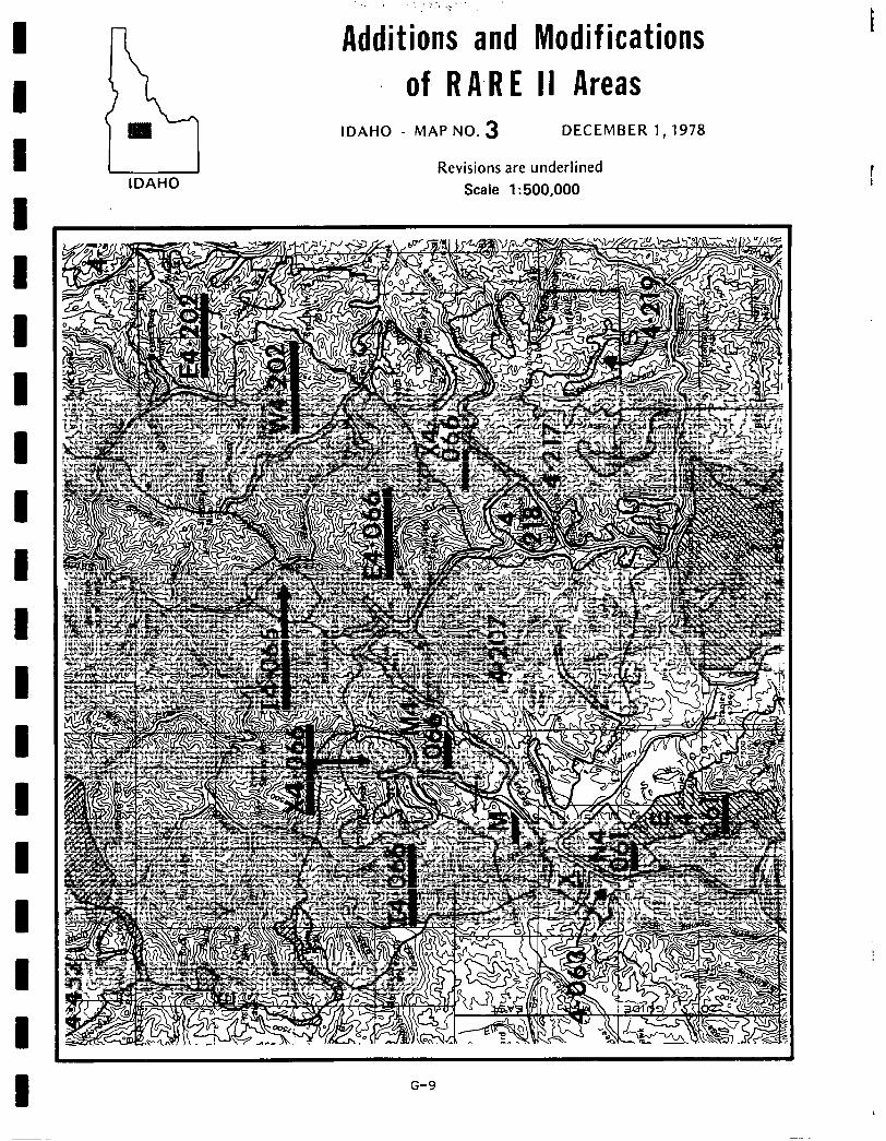
P3 m
IDAHO
- Additions and Modif ications
of RARE II Areas IDAHO - MAP NO. 3 DECEMBER 1,1978
Revisions are underlined Scale 1: 500,000
G-9
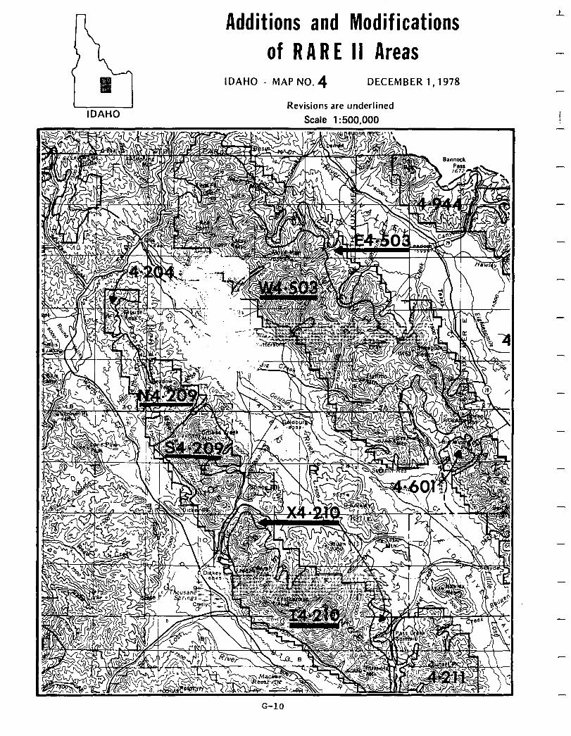
Additions and Modifications
of RARE II Areas
IDAHO
IDAHO - MAP NO. 4 DECEMBER 1,1978
Revisions are underlined Scale 1:500,000 ! -
-
-
G-10

. . 1. , >,,r-
Additions ,and Modifications ‘1 of RARE II Areas
IDAHO
IDAHO - MAP NO: 5 DECEMBER 1,1978
Revisions are underlined Scale 1:500,000
G-11
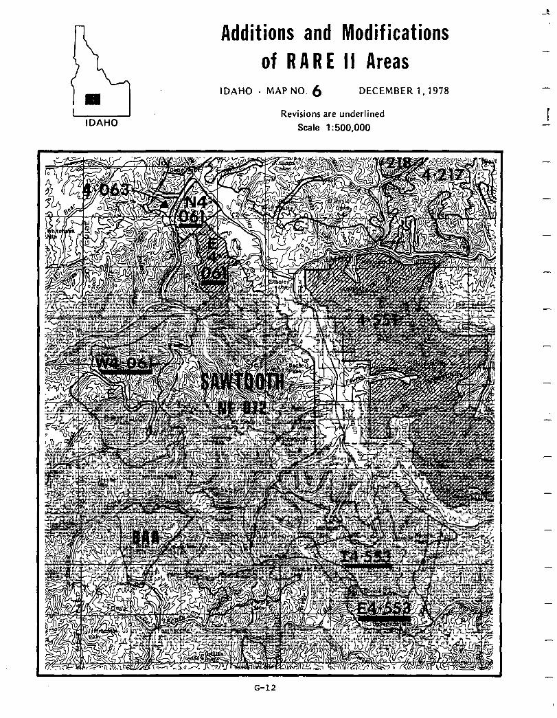
-P
I IDAHO
Additions and Modif ications of RARE II Areas
IDAHO - MAP NO. 6 DECEMBER 1,1978
Revisions are underlined Scale 1: 500,000
-
-
I -
-
-
-
-
G-12
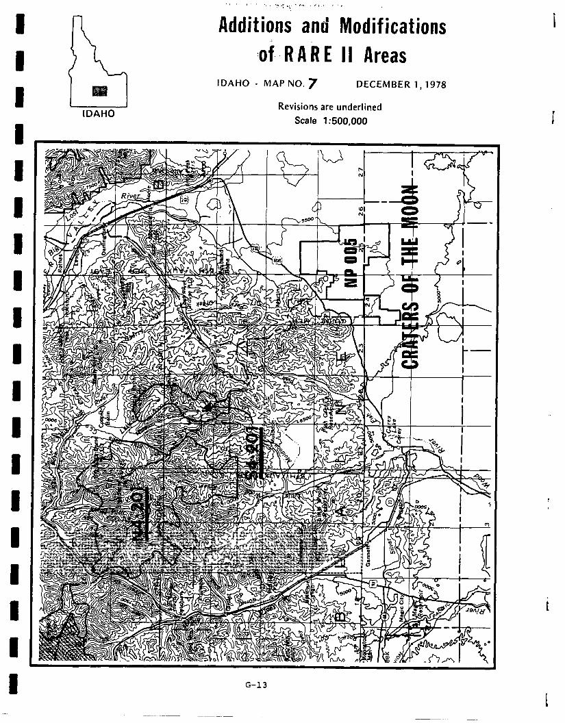
IDAHO
.,.. , ‘: .;:-.:; ‘I.. ?I I, ‘,
Additions and Modifications
:of. R A,R E II Areas IDAHO - MAP NO. 7 DECEMBER 1,1978
Revisions are underlined
Scale 1:500,000
G-13
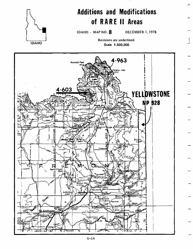
Additions and Modif ications of RARE II Areas
IDAHO
IDAHO - MAP NO. 8 DECEMBER 1,1978
Revisions are underlined Scale 1:500,000
NE
-
G-14
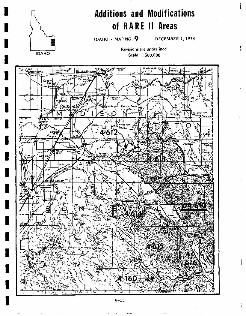
l-l Additions and Modif ications t
S of RARE II Areas
IDAHO
IDAHO - MAP NO. 9 DECEMBER 1,1978
Revisions are underlined Scale 1:500,000
G-15
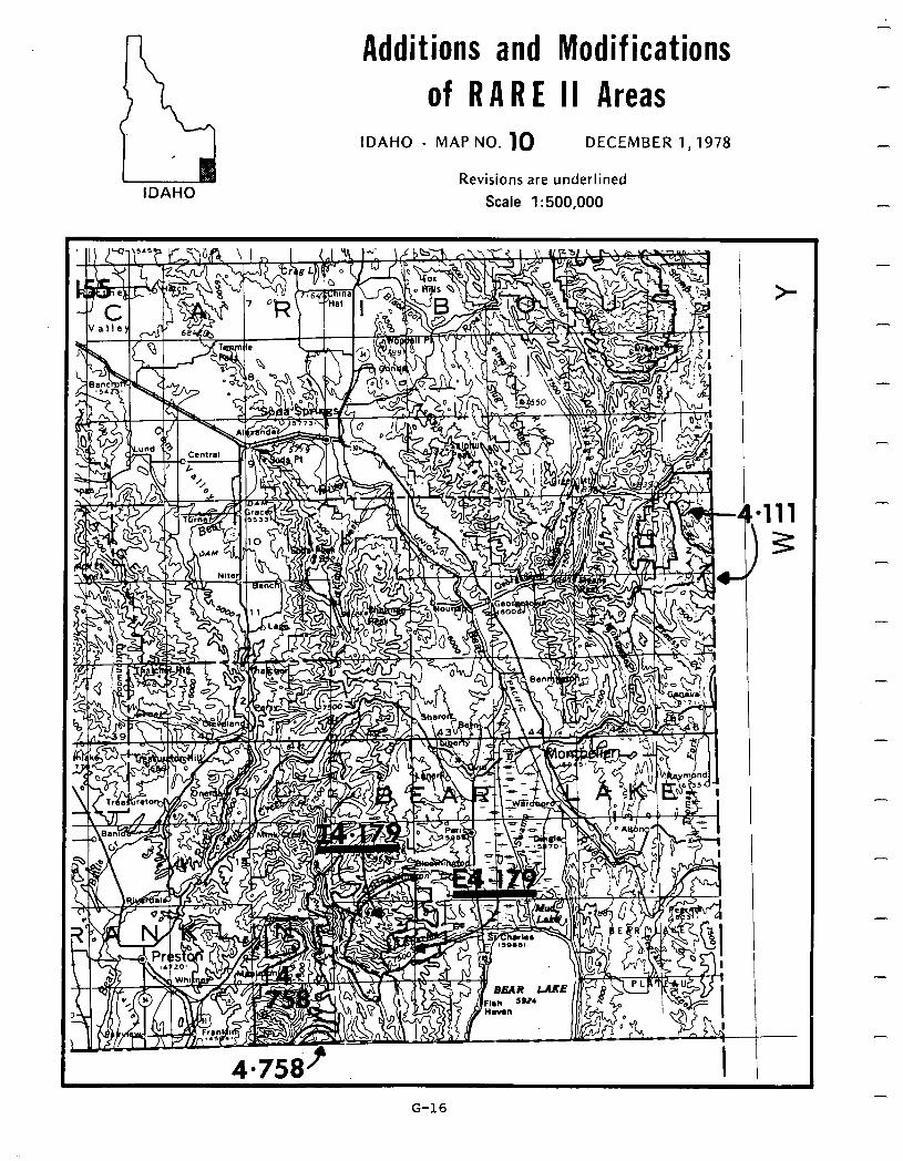
Additions and Modifications
of RARE II Areas
IDAHO
IDAHO - MAP NO. 10 DECEMBER 1,1978
Revisions are underlined Scale 1:500,000
-
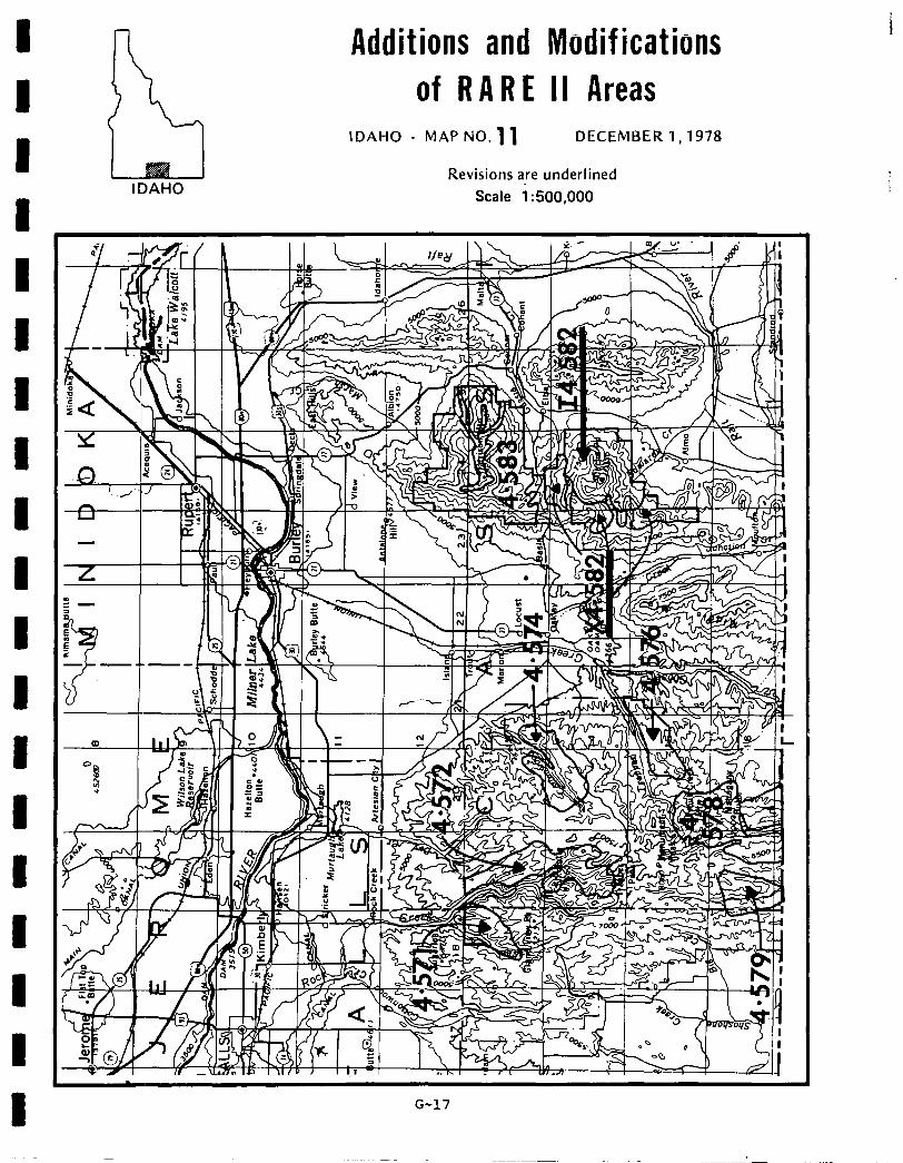
Additions and Modifications of RARE II Areas
IDAHO
IDAHO - MAP NO. 11 DECEMBER 1,1978
Revisions are underlined Scale i :500,000
G-17
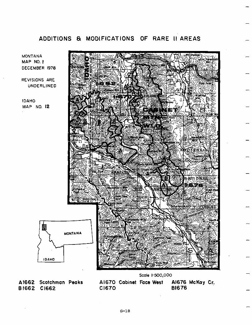
ADDITIONS 6 MODIFICATIONS OF RARE II AREAS
MONTANA MAP NO. I DECEMBER 1978
REVISIONS ARE UNDERLINED
IDAHO MAP NO. 12
I IDAHO
A 1662 Scotchman Peaks 6 1662 Cl662
Scale I: 500,000
Al670 Cabinet Face West A1676 McKay Cr. Cl670 81676
-
-
-
-
-
-
-
G-18
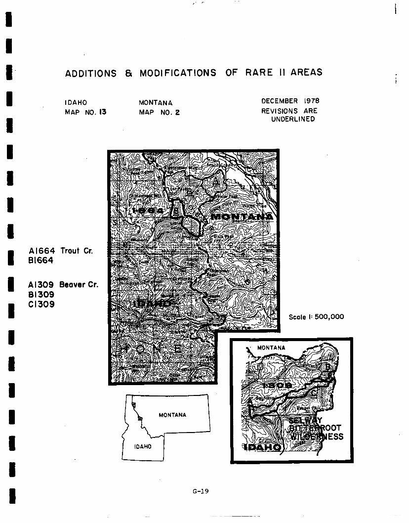
I I I I I I I 1 I I I 1 1 I 1 I 1 I 1
ADDITIONS &I MODIFICATIONS OF RARE II AREAS
IDAHO MONTANA MAP NO. 13 MAP NO. 2
DECEMBER 1978 REVISIONS ARE
UNDERLINED
Al664 Trout Cr. 81664
A I309 Beaver Cr. 81309 Cl309
G-19
Scale I: 500,000
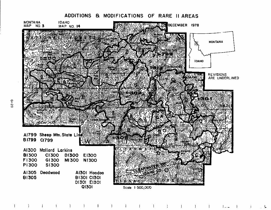
c h) 0
ADDITIONS & MODIFICATIONS OF RARE II AREAS
bECEMBER 1978
ARE UNDERLINED
Al799 Sheep Mtn.State Li B If99 cl799
Al 300 Mallard Larkins BI 300 Cl300 01300 El300 F1300 G1300 Ml300 N1300 PI300 Sl300
Al 305 Deadwood Al301 Hoodoo 81305 81301 Cl301
DI 301 El301 41301
1 1 I I 1 I J
Scale I: 500,000
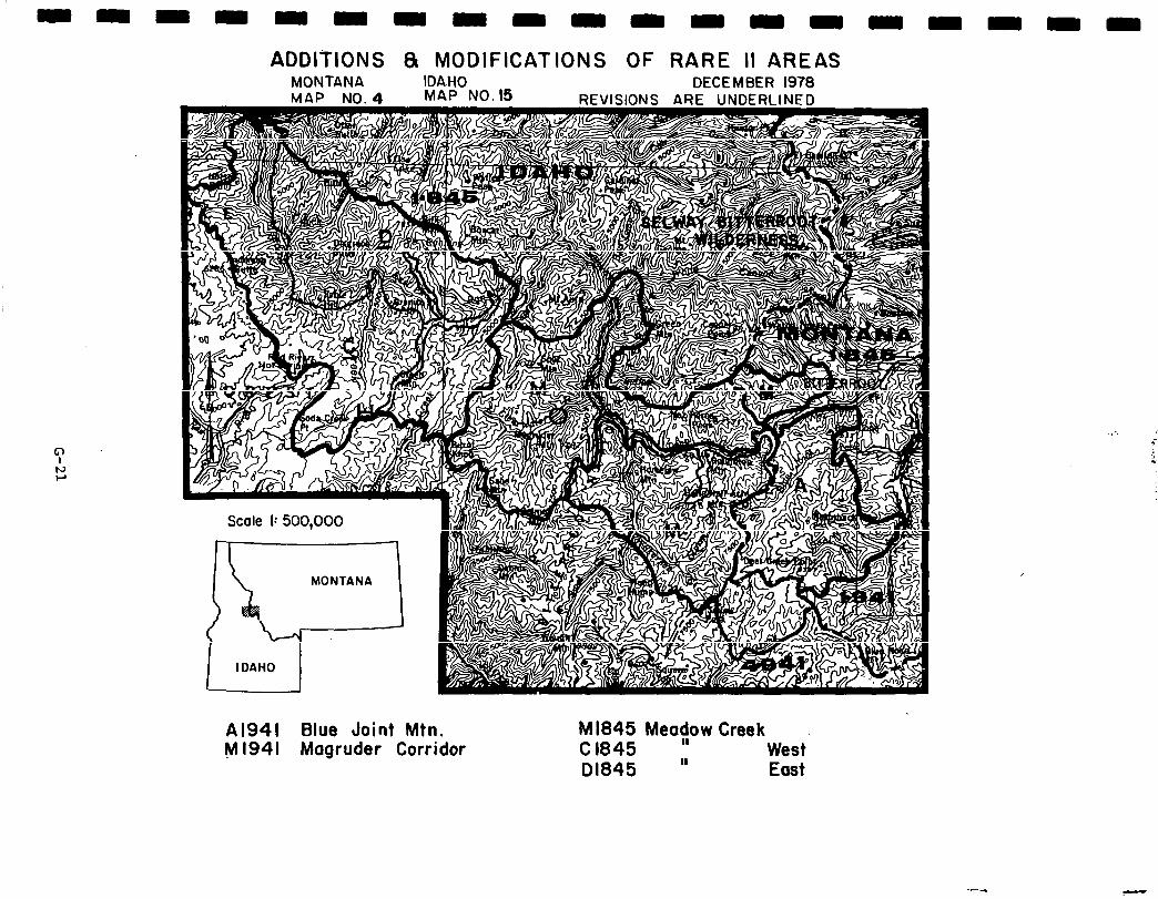
ADDITIONS 8 MODIFICATIONS OF RARE II AREAS MONTANA IDA.HO DECEMBER 1978
Al941 Blue Joint Mtn. Ml941 Magruder Corridor
Ml845 Meac/ow Creek C 1845 West 01845 ” East
-
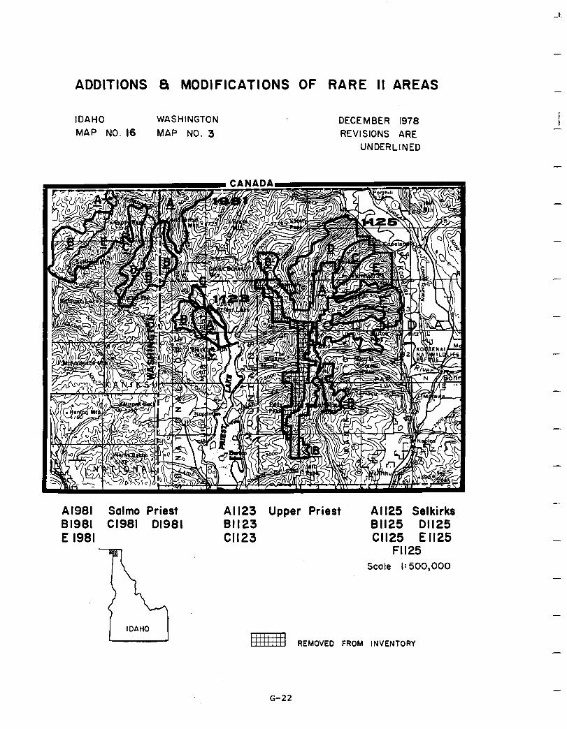
ADDITIONS S MODIFICATIONS OF RARE II AREAS
IDAHO WASHINGTON DECEMBER 1978 MAP NO. 16 MAP NO. 3 REVISIONS ARE
UNDERLINED
Al981 Salmo Priest 81981 Cl981 01981 E 1981
Al 123 Upper Priest Al I25 Selkirks 81123 81125 01125 Cl123 Cl125 El125
Fll25 Scale I: 500,000
REMOVED FROM INVENTORY
-
i -
-
-
-
-
G-22
-
-
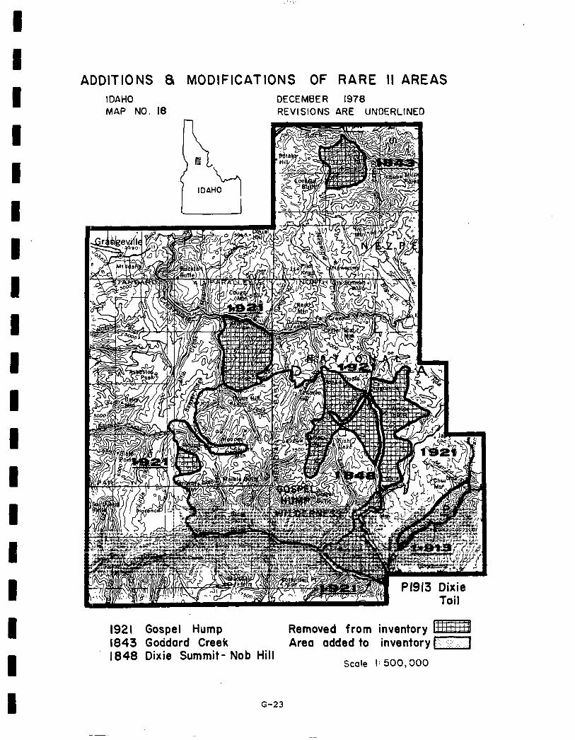
ADDITIONS 8 MODIFICATIONS OF RARE II AREAS IDAHO DECEMBER 1978 MAP NO. I8 REVISIONS ARE UNDERLINED
1921 Gospel Hump 1843 Goddard Creek
Removed from inventory Area added to inventory )::-I I.
1848 Dixie Summit- Nob Hill Scale I: 500,000
G-23
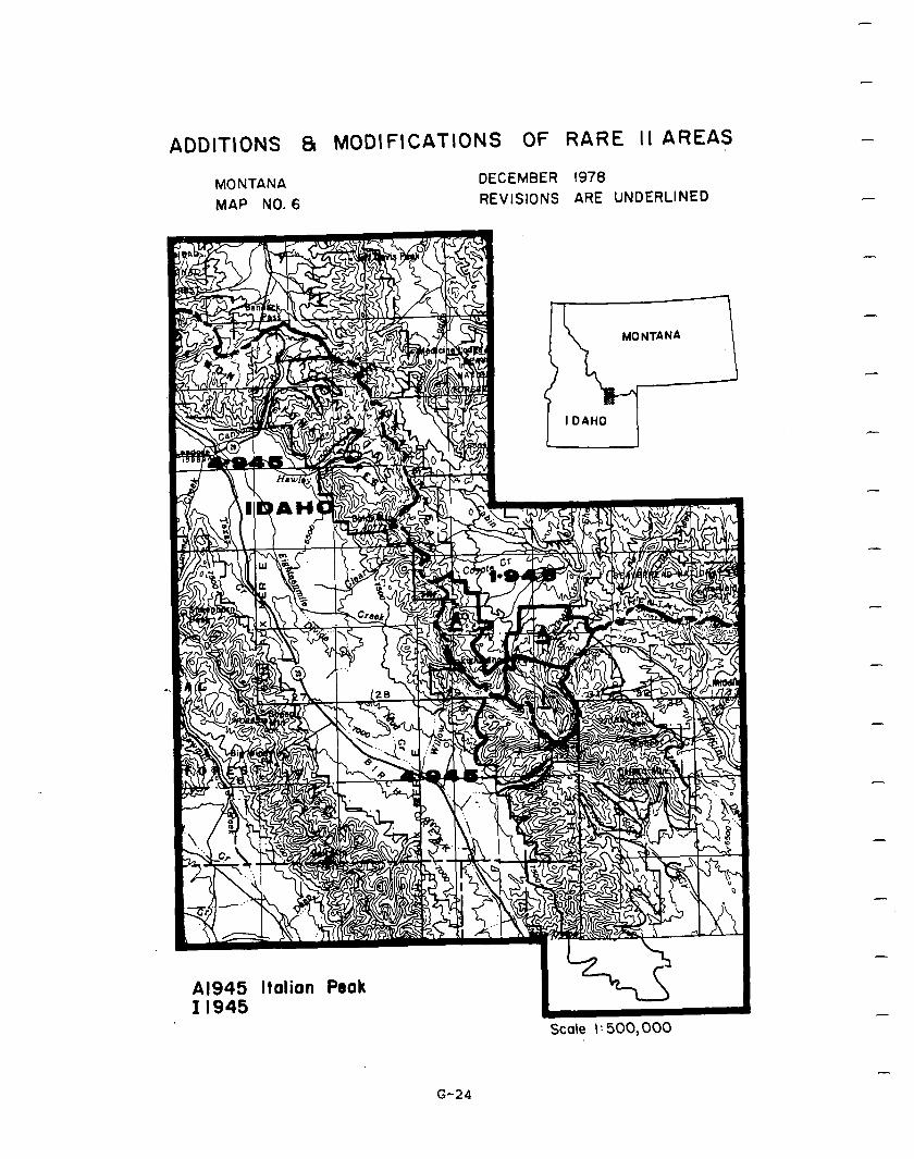
ADDlTlONS 81 MODIFICATIONS Of RARE II AREAS
MONTANA MAP NO. 6
DECEMBER 1978 REVISIONS ARE UNDERLINED
Al945 Italian Peak II - 945
Scale 1: 500,000
-
-
-
-
-
-
-
I
G-24
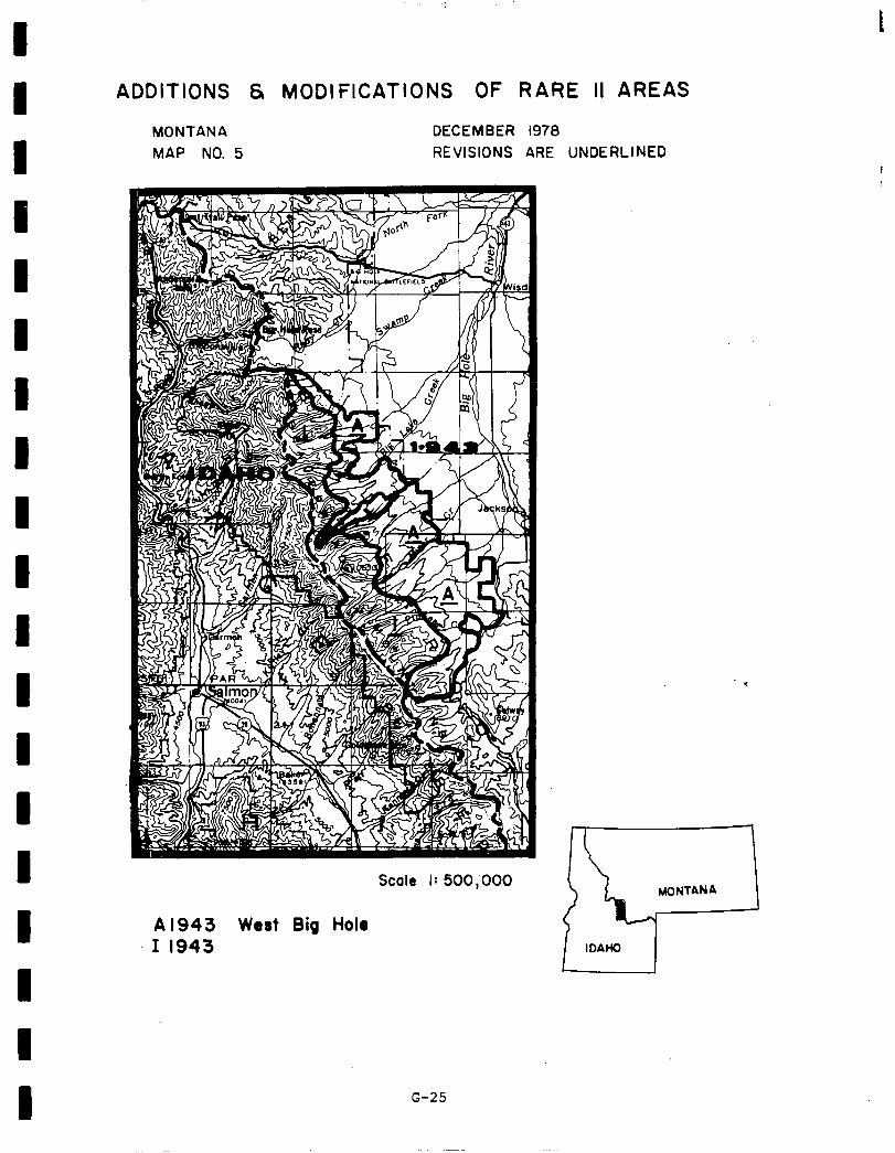
ADDITIONS 6 MODI FICATI
MONTANA MAP NO. 5
ONS OF RARE II AREAS
DECEMBER 1978 REVISIONS ARE UNDERLINED
Scale I: 500,‘OOO
A 1943 West Big Hole I 1943
G-25
-
social. In northern Idaho socialeffects resulting from implementation of the proposed action will be felt mainly in Boundary, Bonner, Idaho, Clearwater, and the southern edge of Shoshone Counties. These effects are not expected to be large but they will be significant to the people in communities that are socially dependent on surrounding National Forests. In Penner and Boundary Counties, more specifically in the communities of Bonners Ferry and Sandpoint, there may be slight displacement of people resulting from wilderness or further planning designation.
-
-
-
In Idaho, Clearwater and Shoshone Counties , particularly such areas as Grangeville, Kooskia,Kamiah, Orofino, Pierce, Headquarters , and Avery, areas set aside for further planning will not be a significant factor. More significant will be any reduction in resourcedevelopment on which many of these communitiesdepend. These communities will likely see some change in social structure. A few old-time residents may move out astheirmeansofmaking a livelihood diminishes. Shifts in lifestyle andcommunity structure will likelybe gradual. In communities wherethose few resource development jobs are effected, women,minorities,and the young will be the first tobe affected, since they are often the last hired, have least seniority and experience.
-
For the most part,however , with areasbeing classified as nonwilderness, the present orderly rate of change of National Forest resource related cormnunities in these counties will continue. Future trends are expected to remain about the same as they are at present time. Generally, areas classified as nonwilderness willallow existing local lifestyles to stabilize more rapidly than if more areas had been allocated to wilderness.
The Nez Perce Indians have treaty rights on the entire Nez Perce National Forest and the Clearwater National Forest. These treaty rights include hunting, fishing, grazing, and stock watering. In the future, these rights, if exercised, may come in conflictwithwilderness classification. Culturaland resource inventories and evalua- tions that comply with E.O. 11593 and the National Historic Preservation Act of 1966 have not been accomplished in areas designated for wilderness classification.
In southern Idaho adverse social effects will be mitigated somewhat by division of 15 of theareas intotwo or more classifications. Symbolic meaning of many individual areas or portions of them, will be promoted and protected through wilderness or further planning designation in the proposed action. Specific areas of high symbolic values to residents of Idaho include Pioneer Mountains, Camas Creek, Diamond Peak, and Mount Naomi. In addition, Diamond Peak, ItalianPeak, and tionheadwere frequently supported for wilderness designation by out-of-state public comment which indicated significant regional symbolic importance of these areas.
-
-
-
G-26
I
1 Dispersed, nonmotorizedrecreation opportunities, including primitive hunting and fishing experiences, will be enhanced and protected by wilderness desig- nation of all areas recommended for wilderness in the proposed action, but
I
these wereespeciallyimportantconsiderations for PioneerMountainandportions of Worm Creek.
Socially significant cultural, historical, and archaeological values (Indian
1 burial grounds) will be protected by wilderness and further planning desig- nation .of major portions of Ten Mile and wilderness designation of South Boise-Yuba.
I Wilderness classification of individual areas in southern Idaho may result in short-term economic impacts which will have temporary adverse effects on
I
communitylifestylesand social services. These effects will be verylocalized and largely overcomeby nonwildernessdesignation ofmany southernIdaho road- less areas. As the economic analysis for Idaho indicates, the potential long- term impacts arepositive foreveryindustrialsector. Debate over the proposed
I action is not likely to be intense on an area-byarea basis. When and if it does occur, itwillmost likely concentrate on whether or not there should be more wilderness than allocated under this proposal.
1 Economic. A summary of economic impacts for the proposed action is presented in the followingtable. These are nationalimpacts andmay or may notoccur in
I
Idaho. Allstate impacts are allocated fromthe national totals and arebased upon state resource changes. They are Idaho's contribution to the national impact. For a complete description on how the impacts were calculated see
I Appendix W.
The potentialimmediateimpactis negative for all sectors exceptpulp andpaper sector. In the national aggregated model pulp and paper includes all wood
I
products except sawtimber. In this case the proposed action would allocate some areas to nonwilderness uses whichwouldincreasethe allowable cutofwood products. Allother sectorshave a negative impact because the areas allocated
I
to wildernesswould decreasethe nonwilderness outputs anduse. The potential long-term impacts are positive for every sector.
G-27
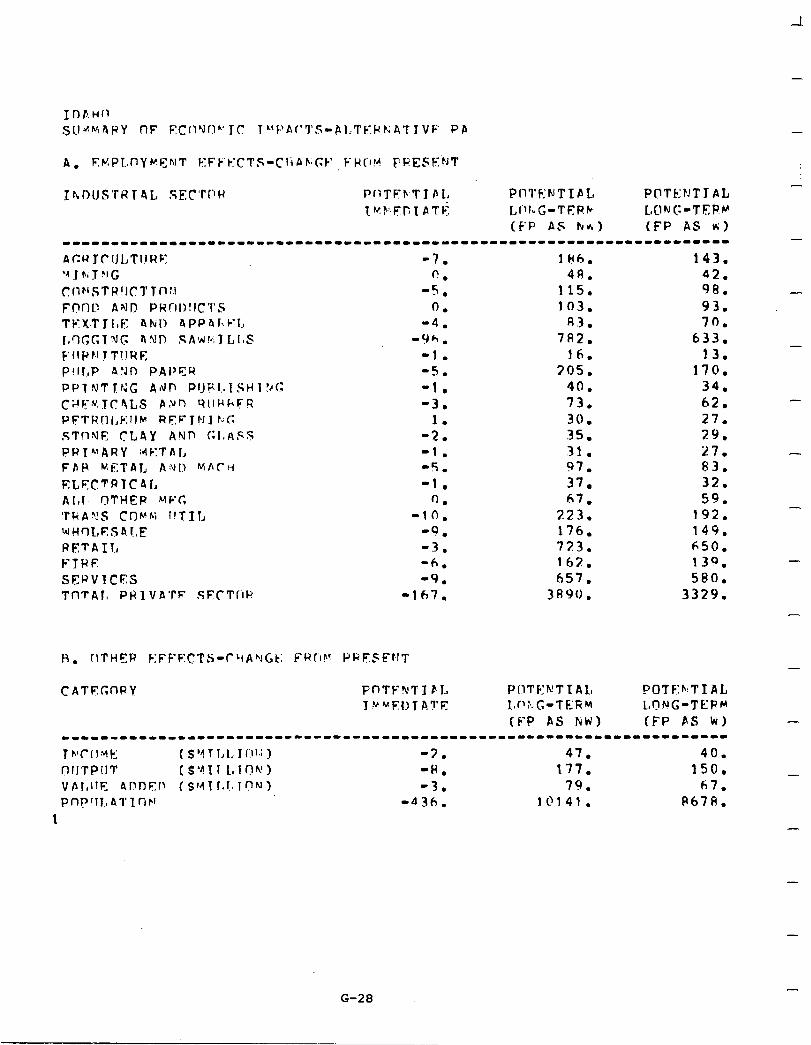
-
-7. lH6. 143. fi. 48. 42.
-5, 115. 98. 0. 103. 93.
-4. A 3 . 70. -9h. 782. 633.
-1. 16. 13. -5. 305. 170. -1. 40. 34. -3. 73. 62.
1. 30. 27. -2. 35. 29. -1. 31. 27. -5. 97. 83. -1. 37. 32.
0. 67. 59. -10. 223. 192.
-9. 176. 149. -3. 723. 650. -6. 162. 139. -9. 657. 580.
-167. 3A90. 3329.
CATEGnPY FnTPNTI bL T “~:EOTA?E
POTF:b:TIAL LdFtNG-TERM (FP PS WI
-
-
-
-
G-28
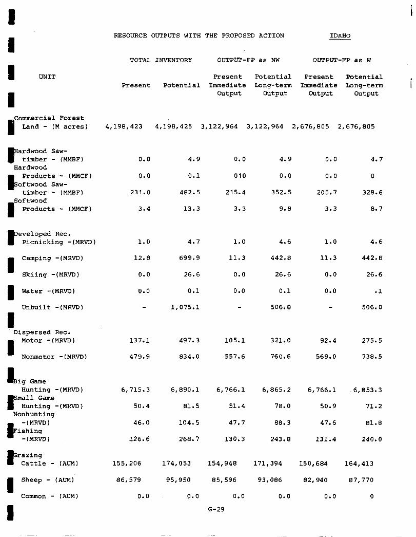
I I 1 UNIT
I
Commercial Forest
I Land - (M acres)
c ardwood Saw-
timber - (MMElF) Hardwood
k
Products - (MMCF) oftwood Saw-
timber - (MMHF)
I
Softwood Products - (MMCF)
P eveloped Rec.
Picnicking -(MRVD)
I
Camping -(MRVD)
Skiing -(MRVD)
1 Water -(MRVD)
Unbuilt -(MRVD)
I Dispersed Rec.
I
Motor -(MRVD)
Nonmotor -(MRVD)
I3 ig Game Hunting -(MRVD)
3" mall Game
Hunting -(MRVD) Nonhunting
k
-(MRVD) ishing
-(MRVD)
E razing
Cattle - (AUM)
I
Sheep - (AUM)
Common - (AUM)
I
RESOURCE OUTPUTS WITH THE PROPOSED ACTION IDAHO
TOTAL INVENTORY OUTPUT-FP as NW OUTPUT-FP as W
Present Potential Present Potential Present Potential Immediate Long-term Immediate Iong-term i
output Output Output Output
4,198,423 4,198,425 3,122,964 3,122,964 2,676,805 2,676,805
0.0 4.9 0.0 4.9 0.0 4.7
0.0 0.1 010 0.0 0.0 0
231.0 482.5 215.4 352.5 205.7 328.6
3.4
1.0
12.8
0.0
0.0
13.3 3.3 9.8 3.3 8.7
4.7 1.0
11.3
0.0
0.0
4.6 4.6
699.9 442.8 442.8
26.6 26.6
0.1
1,075.l
1.0
11.3
0.0
0.0
26.6
0.1 .l
506.8 506.0
137.1 497.3
479.9 834.0
6,715.3 6,890.l
50.4 81.5
46.0 104.5
126.6 268.7
155,206 174,053
86,579 95,950
0.0 0.0
105.1 321.0 92.4 275.5
557.6 760.6 569.0 738.5
6,766.l 6,865.2 61766.1 6,853.3
51.4 78.0 50.9 71.2
47.7 88.3 47.6 81.8
130.3 243.8 131.4 240.0
154,948 171,394
85,596 93,086
0.0 0.0
G-29
150,684 164,413
82,940 87,770
0.0 0
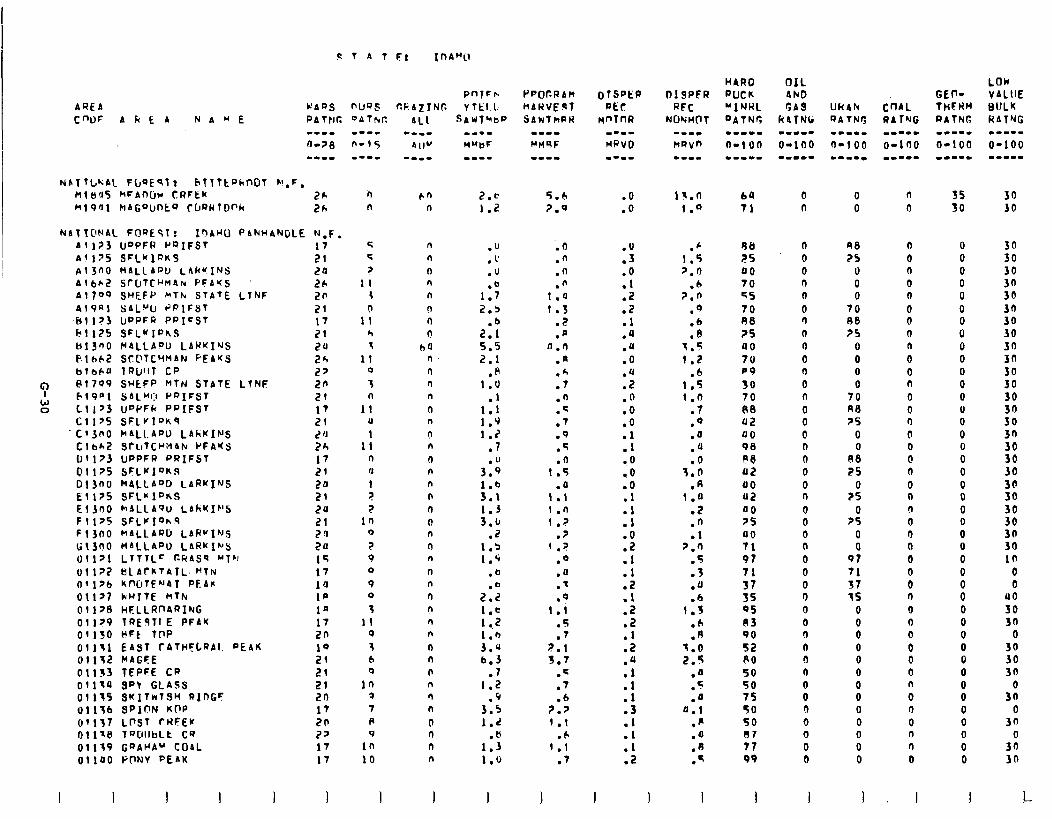
AQEA CWF AkEA NA"E PATtIC DATN,pc
NblTl,,*;AL FbQEqlr hflttohN~T h’,F, MlH!J5 MFAnW CRFEK 26 Ml901 hAG9UnkQ ff~RWtD0h Zh
Nbl1ONAL Fl?QEST: InAuO PANHANDLE N.F. Al]?3 UDPFR PQIFST 17 Al 195 SFLwlfJKY 21 Pl3nO HALLADU, l.Ak?INS 20 Albb,? S~(JTC~M~N PFbrS Lb Al700 SHEFP FcThr STATE LTNF 20 919al SAL”U PPlFST 21 b11?3 lrPPFR PRICST I7 r?!l75 SFLYIPhS 21 t413nO HdLLADU LAWKI’JS 20 FlhbZ Sf.@TCYMAN PEAKS 26 blbCU IRWIT CP 2?
t) Pt709 SHLFP MtN STATE LtNS e?fi 1
W 61901 SALMI:I I’DIFST
0 Lll73 U"PFh PPIFST cl 175 SFLrl”K9 Cl31'0 hALl.Af'U LAhKINS c I b&z SruTCYH4lu PFAYS lJfl73 UPPFR PRIFST 01175 SFLVIQKS 01300 hALLA LARWINS Ell?S SFL*ID&S El300 hALLA9u LAkYIb’S Fll75 SFLi'IonS F 13f10 MALLARD LAH”1N.S G1300 WALLAPO LARKIh’S OIlYI LTfTL= CRASq Mlh 01 l?? tiLACkTATL. HTN 01176 KNJTE’JAT PEA* Olly7 kf'ITE HT)u 011>8 HELLRnARING 01179 TQESTIE PFAK 01150 *Ft TDP 01131 EAST fAtHFLnb1. PEAK Olll.? MAGEE @I133 TEPFE CR 01119 SP\ GLASS 01135 SKITrrlS~ RInGc: Ull;b SP10N KQP 01157 LlrSl ftiFEU t-11 1x8 19OllbLE C9 01139 G~AUA" COAL OllPO Pt?NV PEAK
I I I I
l-l n
r, 5
? II
4
b 11
r, 1
11 0
3 n
II u 1
11 n u
I ? 7
10 0
? 9 0
9 0
3 11
0
3 6 0
in 3 7 R 9
In 10
n n
n n n
n 0 b
b4 ll n n I7
n n
n n
0 n n n n l-l n n n
n n n
n n n
n n 0 n n
n
0 n n n
I
2.c 1.2
.u
.I’
.u
1:: 2.3
2:: 5.5 2.1
.p 1.0
.I 1.1 1.9 1.2
.7
3::
::: 1.3 3.c
.z 1.3 1.9
.b
2::: 1.c 1.2 1.0 3.U 6.3
.7 1.2
3::. 1.2
.b 1.3 1.0
PPOr.RbM HARVEPT SARtkPR
5.6 ?.O
.O
.n
.n
.n 1.0 1.3
.2
.a a.0
.a
.A
.7
.n
.q
.7
.9
.5
.n 1 .s
.a 1 .I 1 .n i.?
.7 1 .?
.a
.u
.-
.Q 1.i
. 5 .
.7 2.1 3.7
.f
.7
.6 ?.7 1.1
.6 1.1
.7
.O
.o i3.n
1.9
:i
:i .Z .Z .l .a .u .O
:; .n .o .O .l .I .O .o .O .l .l .I .O .z .l .l .Z .l .z .2 .I .2
::
:f .3
:t .I .2
.c 1.5 7.0
.6 2.0
.Q
.6
.8 I.5
1.2 .6
1.5 I.0
.7
.o
.a
.Q
.o 3.0
A 1:;
.Z
.n
.l 7.0
.5
.3
.a
.6 1.3
.b
.A 3.0 2.5
.a
.5
.a 0.1
.fi
.a
.fJ
.f
I 1 I
HARO PUCK "INRL DAtNG
64 71
98 25 00 70 45 70 A8 ?5 00 70 PO 30 70 08 02 40 90 ye a2 00 02 00 25 UO 71 97 71 51 35 05 83 90 52 RO so 50 75 50 so 07 77 99
1
0 n
0 0 0 n 0
0 n
0 0 0 0 0 0
0 0 0 II 0 0 0 n
0 0 0 n
0 0 0 n 0 0 !I n 3 0 0 0 !I 0 0 0 0
0 0
98 25
0 0 0
70 08 ?S
0 0 0 0
70 R8 7s
0 0
A8 25
0 25
0 ?5
0 0
97 71 37 15
0
i 0 0 0 0 0 0 0 0 0 0
n
0
0
0 n 0 n
0 n 0 n
0 0 n
0 0 r)
0 0 0 0 0 0 n (I 0 0 0 0 0 0
0 n 0
0 0 0 n
0 0 0 0 n 0
1 , I
GEV- 1HFl?H RAIN6 w---m O-100 mm---
55 50
0 0 0 0 0 0 0 0 0 0 0 0 0 0 0 0 0 0 0 0 0 0 0 0 0 0 0 0 0 0 0 0 0 0 0 0 0 0 0 0 0 0
30 JO
3n 30
:: 30 30 30 30 3n
:i 30 30
ii 3n
cl 30 30 30
3: 3n 30 in
0 0
40 30 30
0 30 30 30
all 0
30 0
30 30
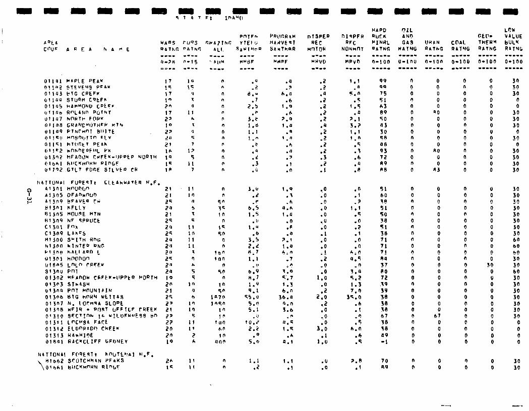
c, r
9f 4TF: I"AU[l
PnTF”
‘+‘A08 rvQ.5 CNA?thl? VTEI Y
NbllON~l FIJDECT! LltdhUATtR N,F, b 130 1 WLlPrJ" 21 Al305 DFAnImI) 2? Al31-19 bFAVEQ tri 22 tjf3nl KFLlY 20 91jnS t'Oll~E HTN 21 H13n9 NF tPPUCt 2s Ct3nt Fnr C1309 LAkrS ;: ~ijoo s~llki ml; hlJfI0 kl~TE0 ONC 5:: PI JhU PiALl AnO L ii1301 h,'l@ROn g: u1ans L"L" rl?FEw 2JJ si3no mi 2JJ 0 t 302 nPAnoi-4 ccFttf-twPtw PORTY i 0
013fi3 SIhASu 20 t113na PnT NWNT61N 21 013nb t)TG tiT\Wu WCTTAS 25 013n7 k. 1 OCHqA 8LOpk 2' oljnl!l wFlR + W)RT UFFICF fQFEK 2! 01310 SFCTInh lh rILUFK~ESS tiT, 22 01311 LnC"Sa FACE 2t 0131.2 ElD”AAOr! CkFE* 20 01313 HAnHI?E 20 i)lR'~l RAC~ClIFF I;FONEV 10
n n n n n n
n n
n n n n n n n
n n
L
.U
.z d.u
.7 2.5
.)I 3.e 1.6 1.1 I.0
.t
.d
.d
.3
.o
3.u .2 .C
b.5 1.5
. u 1.*
.b 3.5 2.2 8.7 1.1
.v b.9 n.7 1.9 9.1
45.u
5.b 5.1
.i) (0.2
2.2 .Q
5.6
1.1 .z
.U
.> 6.a
.b 1 .q
.6 2.0 1.0
.q 1 . II
.h
. JJ
.7
.l
.n
1.0 .I .h
0.6 1.4
.o
.p
.a 7.1 I.0 6.n
.'T n
I:, 5‘. 1 1.3 b.n
36.0
X .n
0.5 1.5
.* a.1
1.1 .I
.2
.2
.a
.2
.2
.2
.2
.Q
.2
.2
.2
:5
::
.o
.O
.o
.o
.o 0.0 .O .I .Q .O .1 .2 .o
1::
:Z 2.0
..2
.o
.O
3::
1::
.I,
.O
nl*PFR RFC
NOYkt-It
I.1 .a
c.n 5
1:; .JJ
2.1 3.2 1.1 1.0
.5
.s
.4
.a
.P
.n
.I
.? I.1
.S
.O
:: .Q .Q
6.0 a.5
.Q
1;:; 1.3
SE::
1:
:: 6.0
.4
.4
2.8 .I
99 09
75
51 h3 89 50 a3 30 58 a0 93 72 R9 a0
n 0 0 f! n 0 0 @ 0 0 0 n 0 n 0
51 (I 60 0 S8 a 51 0 50 n 38 0 Sl 0 50 0 71 n 71 0 71 0 RU n 31 0 PO 0 72 0 .I9 n 39 0 38 0 38 0 S8 0 bl 0 38 0 38 0 a9 0 -1 0
70 R9
n 0
0 0 0 0 0
a0 0 0 0 0 0
RO u 0
a3
0 0 0 0 0 0 0 0 0 0 0 0 0 0 0 0 0 0 0 0
67 0 0 0 0
0 0
0 n 0 0 0 0 0 n 0 0 0 0 0 0 0
0 0 0 0 n 0 0 0 0 n 3 0 0 0 n n 0 0 0 0 0 @ 0 0 0
n 0
0 0 0 0 0 0 0 0 0 0 0 0 0 0 0
0 0 0 0 0 0 0 0 0 0 0 0
30 0 0 0 0 0 0 0 0 0 0 0 0
0 0
30 JO 30
0
3: 30 30
0 30
0
3: 30 30
30 30 30 30 30 30 30 30 60 40 60 30 30 b0
3: 30 30 30 30 30
0 0 0 0
30 30
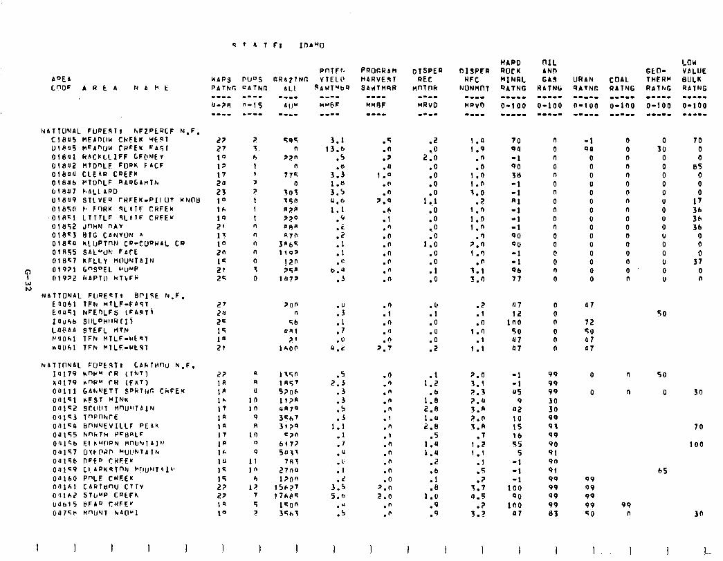
I
AQEb
C.fWF AREA N A )1 t
NATTO'JAL FURE.STt hrFZPEQCF N.F. Cl805 MEbnLlW CkFtK WEST OlRO5 CI=AnUW CRCEK FASl OlS’Jl RACKLLIFF GF@'JEv 01802 WTDQLF FODK FACF 01804 CLEAR CREFK OlEIU6 PtOnLF 4AOG11"7b OlYU7 k.ALLAPD UI8U9 STLVEQ TRFEK-PIlLIt KNOB 0185r1 b Fr)RK .9LAlF CRFEK
~OlA~l LIITLF qLArF CWFEu 01052 JnhM nAV 01013 t)lG CbNVW n OlSSU KLUPTnN CD-CfJQWbL Co OlAS5 SAL"c)r: FbrE OlBc7 kFLLt M0U'JTAIN 01 Q?l G”SDEL uu”P 01922 kAPlll HTkFh
NAftONAL FLIRE~~~ BpIfE rU,F, f1061 fFh MTLF-FAST E'JOSl NFE')LFs lFA.PTI
IUU4b sIILPww(Ii LUBAb STEFL rlTt~ P'JOkl fFh MlLF-wtsl
rU(161 TFk *TLF-rtc(T
NbTTIlNAL FU”EsT! LAfilHtV N,F, IU179 knld" rf? (TNT) au179 LnW" CH (FAT) OUlll GAh'QETT SPklhr. CCCFEW
OUl~l kFST MINK O’Jlci! Stl'llT M'ltJ~lTAIN
O'JlS3 7"FnkrE
UfJl'JJ 6f'N'JEVlLLF PEAh
ou155 FinkTh PcljI3LF
O'J,cb El CUOPN MllU'dl A],.’ 00157 UYkflRr, “Lll!NlAlhr Oul5b DFEP tRFE'f
001<9 Cl. APK’tTnN C(JukJ~OlV 00160 P”LE CHEEK bfllkl CAfJlanU CTTV O’llhZ STUMP CPtFk llab15 @FAQ CWFE”
OUl5F M”U’JT NAP1
I I 1
WAPS PIJDS CrRA?lNT; PATfur. QATtir;
? 3. h 1 1
3 ? 1 1 t n n n n 0 3 0
r\ 4 U
10 10
9 R
10 0 9
I1 10
h
I? 7
5 ?
I I
PnTFr.
YIELD vAWT”‘b9
3.1 13.b
.5
3:: 1.6 3.5 4.b 1.1
.Q
:;
:: . t:
b.4 .J
:; .l .7 .U
a.2
.5 2.3
.3
.3
.5
.J 1.1
.l
.7
.U
.b
.I
.2 3.5 5.e
."
.5
I
.q
.O
.?
.JJ 1.0
.n
.n 2.0
l r, .l .fi .O .n .n .n ." .n
.fi
.l
.n
. ‘J n
2:;
.o
.n
."
.n
.n
.1
.n
.I
.n
.n
.n
.n
.n z.n 2.0
.n
.fi
.2
! 0 2.0
.O
.o
.o
1:.: .O .o -. 0
1:: .O .O .l .o
.O
.l
.O
.o
:Z
1::
1:: 2.8 1.U 2.8
.5 1.U 1.4
.2
:F .e
1.0 .9 .9
I I
URAN COAL QATNC RAlNG -W.-B -1-m. n-100 O-100 --a-. 111.m
I.0 70 n -1 0 1.9 94 0 qll 0
.n -1 n 0 0
.Q 90 0 0 n
1.0 38 n 0 n
I.0 -1 0 0 0
3.0 -1 n 0 0
.? RI 0 0 n
1.0 -1 0 0 n
1.0 -1 0 0 0
1.n -1 0 0 0
.n QO 0 0 0
2.0 QU 0 0 0
1.n -1 0 0 0
.n -1 0 0 0
‘1.1 Qb n 0 0 3.0 77 0 0 n
.z
.l
.O 1.0
.I 1.1
2.0 3.1 2.3
5::
P.0 3.8
.7 1.2 1 .l
.l
.s
.? 3.7 u.5
.? 3.F
I
07
12 100
50 JJ7 Q?
Pl
72
50 ut 07
-1 99
-1 99 45 99
9 30 Q2 30 10 99 15 93 lb 99 55 90
5 91 -1 9n
-1 91
-1 99
100 99
QO 99
lb0 99 07 83
0
0
99 99 99 99 SO
99 n
I I.. I
0 70 30 0
0 0 0 85 0 0 0 0 U
fi 1; 36
0 SC, 0 36 u 0 0 0 0 0 0 37 0 0 0 n
SO
50
0 30
70
100
65
30
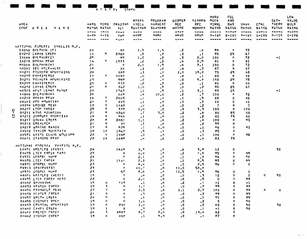
APEb CCWF AREA NAVE
riATIU”AL FbPE!?T! LUALLIS N.F. EUObb SlIL"hl.lk (F) EflZf'Z CAMAS CRECk IU6bb Sfft"hURfI! I0210 BPRAH PFAK F’UOCb SI)L’=Hllh(ki hUOh1 TEh MTLF-wtftl k~J2~1 PTU’JEFR MWRTAINS NUZn9 PAHqI"EPGf SUZ'-Il PlllNkFF( flt'Uhl1 AJNS SU2Sq FAHqI"EPOl nU2IJ2 Cbb-AS CotFh
hd5!‘3 hFST LE”HI “ANGF k&Oh6 SI.~L'W!R(H; x0210 tcf?hAH PFAK 04063 RF@ Mf'UNTTA~' OUl?nU bWJllSF DE&h
c OUZIl? L'?O" CRFEK 04211 KTkG "UIJNTlA~
E 09212 JtIf'POFF MOUFllIAN 011217 S'3llbW COEFK OUZlt) CPEVLNK OU219 gl'R?NG BAqIM OU5flZ TAVLOQ 'QJllt:TAThl (105~1 hclITE CLUlll; bnul.LJFR OUh’ll DTAMONO FFAK
NhTlUNAl Ffl‘JEqI, PbVFlTE N.F. EUUGl hrFt”LCQ (FASlj Euu’;5 LlClc CRFtM =AftT EU9?1 ti0Sf’EI. Hu”P Mu355 L?Cy CYFEK kU9>1 GnSPEl. HUMP PUP13 IPAfPARTQi sO9Pl I;"SPEl UIJHP hUUc1 kFt”LFS (WtbT) nOuC5 LTcK CRFEu WEQT (lU(Jh,7 S"llWbikK OUUf3 hFAl?Oc' CHFEK t.luU~U PTNQACLF Ptbh O'J456 FI ArF.0 rRFf!K 6'1~57 SMlTh LRtFh Ouu‘tb CUI"kFV RnCV OOU'?? CQVQTAL M"UNlAIN U'JU&O C~HFY CSEFN (JUUhl FOE'lCU rR;Fiv
OfJuh2 l"DTAN CWFt"
WAQS noas OATNC QAfkC.
s--L
s-15
-m-c
P
7
n
0 A
7 7 n 0
II 0
R 0 a
10 1
l(J
h 3 n r) n l-l n 1 1 h
PnTFh GRA71N~ VTELk
SAUTwbR
8n 2>8a
90. 1573
n ?U
IJ R ? !llOl-
050 572 >6?
l'h" 1100
EhOS 423
IlPz? 170
u?bn OSh
2n5i 2n
57c lQh7 1 tlPP 1asp
1 hfJQ r) n
lllJ1 n n
57 n n
'10 n n n n n
? 3 0 n
3097
45fi
w--m kY0F ma-1
1.5 .e
1.2 .Z
2. 0 .j .3 .u .z .z
1.u .1
:: .I .u
1.6 .7 .I
1.1 .I .I .9 .3 .Q
3.9
;‘; 2:3
(1 ..a C0.f
8.b
.a 2 . 1:
.1 I.1 2.5
.5
.I 1.u 1.0
.q 6.7
.I
PPCJGRAbl hARVEdT ShJTrRR
1.5 .7
.?
.O 1.5
.n .n .n .n
? . .c .q
1n.u .l .n .n .2
3.n
.n
.A
.n 1.n
.f
.n
.I)
.n
.n
."
.n
."
.n
.n
.n
.n .a .n .n .n .n .n ." .n
5.0 =.n
.2
.3
.3
.u
.b
.u 1.0
.U
.o
.O .O
:: .I .O .o .Q .2 .O .2 .O .o .O .O .2
.a
.l 2.0 2.q 2.1
.2 lG.fl
.l 5.0
.l ?
3:i .7 .s
? . .Z
3.3 .b .7 .a .2 .l .3 .l
1.0
.b
.2
.l
.l
.o 11.0 11.5
.u
.a .2
1:: .O .o .O .O .O .u .O
Q9 95
100 00
100 U7 7s JJO
in0 a0 q5 99
100 00 10
7 100
PO a0
100 94 a0 RS
100 a3
n 25
n 0
0 0
25
2:
2: 15
n
0 0 n
Bs 15
n 0 0 n n
75
12 05 Qb 95 Qb
96 12
0 -1 09
in0 .a9 00
5 65 -1 62 A?
0 0 n 0 (I n n 0 n 0 0 0 0
72 b? 72 uo 12 07 68 UO 78 110 67
72 (10 -1
1nl UO 00 03
-1
-1
03
S8
so 99 =o 99
0
0 0
99
-1 Q9 09 99 99
60 TO SO
n SO
n 0
50
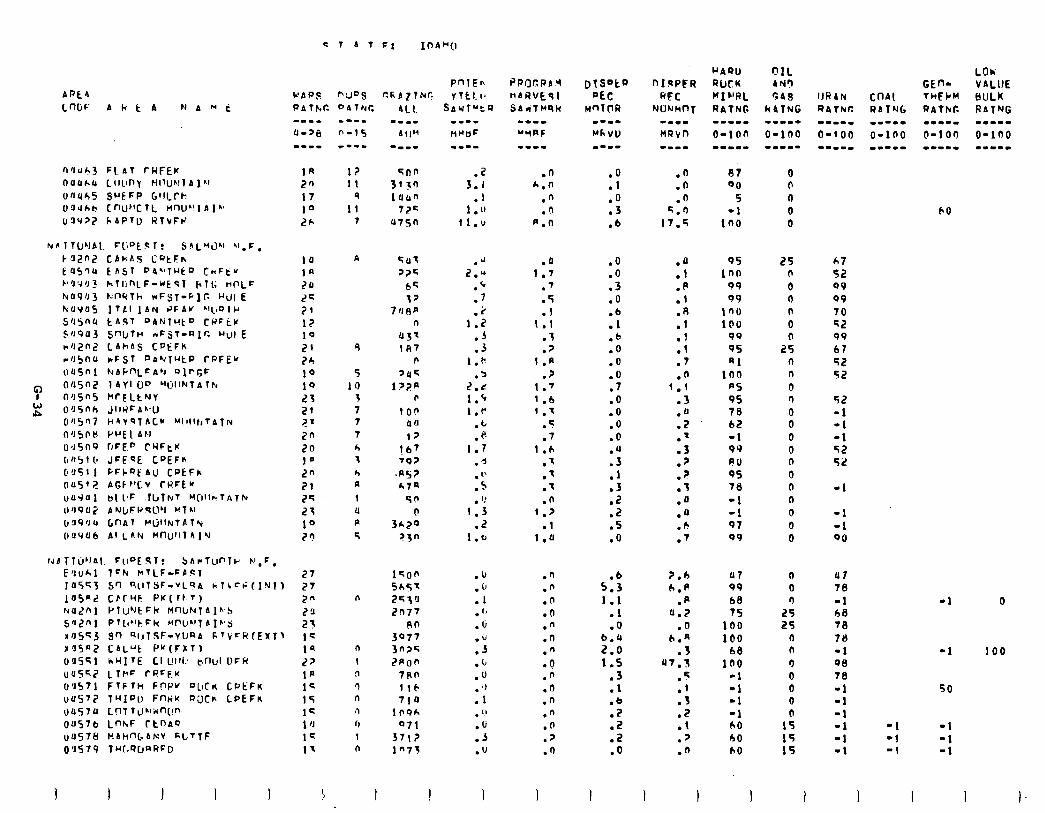
0'1~1.3 F(bT fHFEK I-IUU~JJ LIILII-I! HI’UWl A l&f
oncrh5 SuEFP G’lLrh UOJhb tnU”clL nw”rAl’~ (~!I977 I.APlU RTvFP
PAtkr. f'ATNC
12 11
9 11
7
n
9
5 10
3 7 7 7 h 1 h R
t 4 R
4
n
n
1
n ‘) n 41 fl 1 n
.z 3.1
.l 1 .I’
1l.v
.n h.n
.n
.‘I p.n
.J Z.*
.‘
.7
,:I .5 .j
1.k .b
2.t 1.9 1.r
.t
. c? 1.7
.d
. "
.s
. I: 1.3
.2 1.0
.a 1.7
.7
.5
.l 1.1
.T
.? 1 .a
.? 1.’ 1 .b ’ .7
.s
.7 1 .h
.I
.’
.T
.P 1.7
.l
I.0
.u .n
. ir .n
.I .n
.” .O
.c .n
.d .O
.3 .n
.C .O
.o .n
. ;J .d
.I .n
. ” .n
.b .o
.3 .7
.u .o
I I
::
.o
.3
.b
.n
.n
.n 2.1)
17.5
.O
:Yl .O
:i .b .O .O .O .7 .O .O .o .O
:9 .1 .3 .Z .z .5 .o
:; .P .I
:Y .f .l .7 .o
1.1 .3 .n .z .’ .3 .p .p .t .n .a .fi .7
5:: 1.1
.l
.O
9’: 1:s
.3
.l
.b
.2
.Z
.z
.o
?.b 6.R
.R u.2
.n (I.n
.3 UT.5
.s
:: .2 .l .7 .n
I 1 I
97 00
5 -1
in0
95 25 100 n
99 0 99 0
ino n
100 0 99 n 95 25 Rl 0
inn n
PS 0 95 n 78 0 62 0 -1 0 99 0 RIJ 0 9s 0 78 n -1 0 -1 0 97 0 Q9 0
07 99 68 7s
100 100
68 in0
-1 -I -1 -1 h0 60 A0
0 0 n
2 n n
0 0 0 0
1s 15 15
60
b7 52 99 99 70 52 99 b7 92 St?
52 -1 -1 -1 52 52
-1
-1 -I 90
u7 78
-1 68 78 70 -1 98 16
-1 -1 -1 -1 -1 -1
I
-I
-1
50
-1 -1 -1 -1 -1 -1
I I
0
100
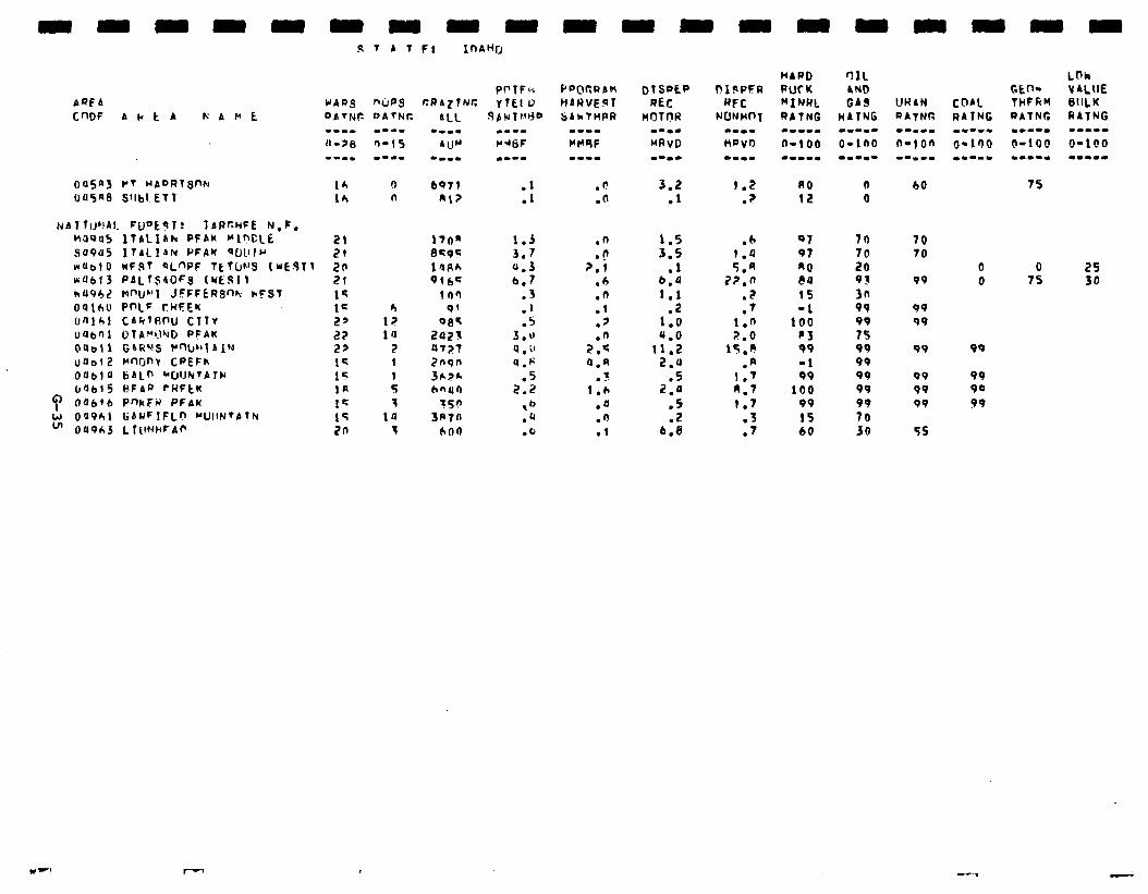
AQE4
nasnj Pt WADRTST)N ua5n8 Sllbl. ET 1
16 !I 16 n
~137 TIJ~~AI. FuOkgl? IAPCHFE N,F. Ho9U5 ITALIbh PFAK “1Y’CLE 21 SU9U5 ItALlAN PFAY *fJlllI' 21 nab10 wF!it qL”PF TEtUh’S (WE.911 20 60613 PALTSdOFg trESI1 2t kU96,? MnUNI JFFFERS% hFSt 1s oath0 PniF ci4FEK t= (rfllbl CAk~RmJ ClTV 2’ 1”; uabni O~A~~J PFAK 22 ia 0abt 1 GSRVS P-w’1 b Jhl 2s 2 ua012 wwnv CPEFh 14 I 006l U SbLr, rf~lJhTAT)rl 15 61615 BFAP ?RFtK lfi :
Q OObfb P’%xFM PFAK 1s 3 E 0’1961 r;AUFIFLn ~UIIN’ATFI 15 la
OU963 L ICIWCA~ 2n T
3.2 .l
1.5 3.5
.l b.P 1.1
1:: 4.0
11.2 2.0
l 5 2.0
:S
6.8
1.2 ? .
.6 1.0 5.n
7?.0 .z .7
1.0 2.6
1S.A .A
1.7 8.7 1.7
.3
.7
00 12
01 97 90 PU 15 -1
100 c3 99
-1 99
100 99
15 60
n 0
70
2 93 3n 99 99 15 99 99 99 99 99 70 30
b0 75
70 70
99
99 99
99
99 99 99
55
0 0 25 0 75 30
99
99 99
99

-
-
-
-
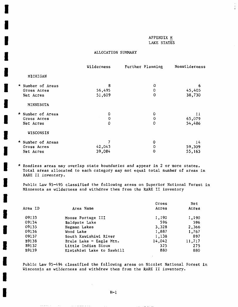
8
8
8
APPENDIX H LAKE STAT%
ALLOCATION SUMMARY
Wilderness Further Planning Nonwilderness
MICHIGAN
8 * Number of Areas
Gross Acres Net Acres
8 MINNESOTA
8
* Number of Areas Gross Acres Net Acres
8
WISCONSIN
* Number of Areas
8
Gross Acres Net Acres
8 0 6 56,495 0 45,405 51,609 0 38,730
0 0 11 0 0 65,079 0 0 54,486
7 0 14 42,043 0 59,309 39,084 0 55,163
I * Roadless areas may overlap state boundaries and appear in 2 or more states. Total areas allocated to each category may not equal total number of areas in RARE II inventory.
8 Public Law 95-495 classified the following areas on Superior National Forest in Minnesota as wilderness and withdrew them from the RARE II inventory
8
8
Area ID
09133
Area Name
Moose Portage III
8
8
09134 Baldpate Lake 09135 Hegman Lakes 09136 Wood Lake 09137 South Kawishiwi River B9138 Brule Lake - Eagle Mtn. B9132 Little Indian Sioux B9139 Kiwishiwi Lake to Sawbill
Gross Net Acres Acres
1,190 1,190 596 596
3,328 2,366 1,887 1,767 1,138 897
14,042 11,717 325 275 880 880
I Public Law 95-494 classified the following areas on Nicolet National Forest in Wisconsin as wilderness and withdrew them from the RARE II inventory.
8
8 H-l
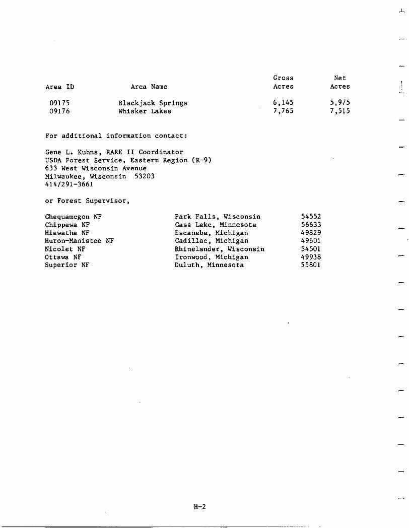
Area ID Area Name
09175 Blackjack Springs 6,145 5,975 09176 Whisker Lakes 7,765 7,515
Gross Acres
Net Acres I
-
-
For additional information contact:
Gene L. Kuhns, RARE II Coordinator USDA Forest Service, Eastern Region (R-9) 633 West Wisconsin Avenue Milwaukee, Wisconsin 53203 414/291-3661
or Forest Supervisor,
Chequamegon NF Chippewa NF Hiawatha NF Huron-Manistee NF Nicolet NF Ottawa NF Superior NF
Park Falls, Wisconsin 54552 Cass Lake, Minnesota 56633 Escanaba, Michigan 49829 Cadillac, Michigan 49601 Rhinelander, Wisconsin 54501 Ironwood, Michigan 49938 Duluth, Minnesota 55801
H-2
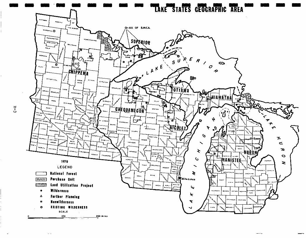
LEGEND
National Forest
Porcbase Unit
Land Utilization Project
Wilderness
Further Planning Nonrildtrness
EXlSlllO WILDEIIESS SCALE
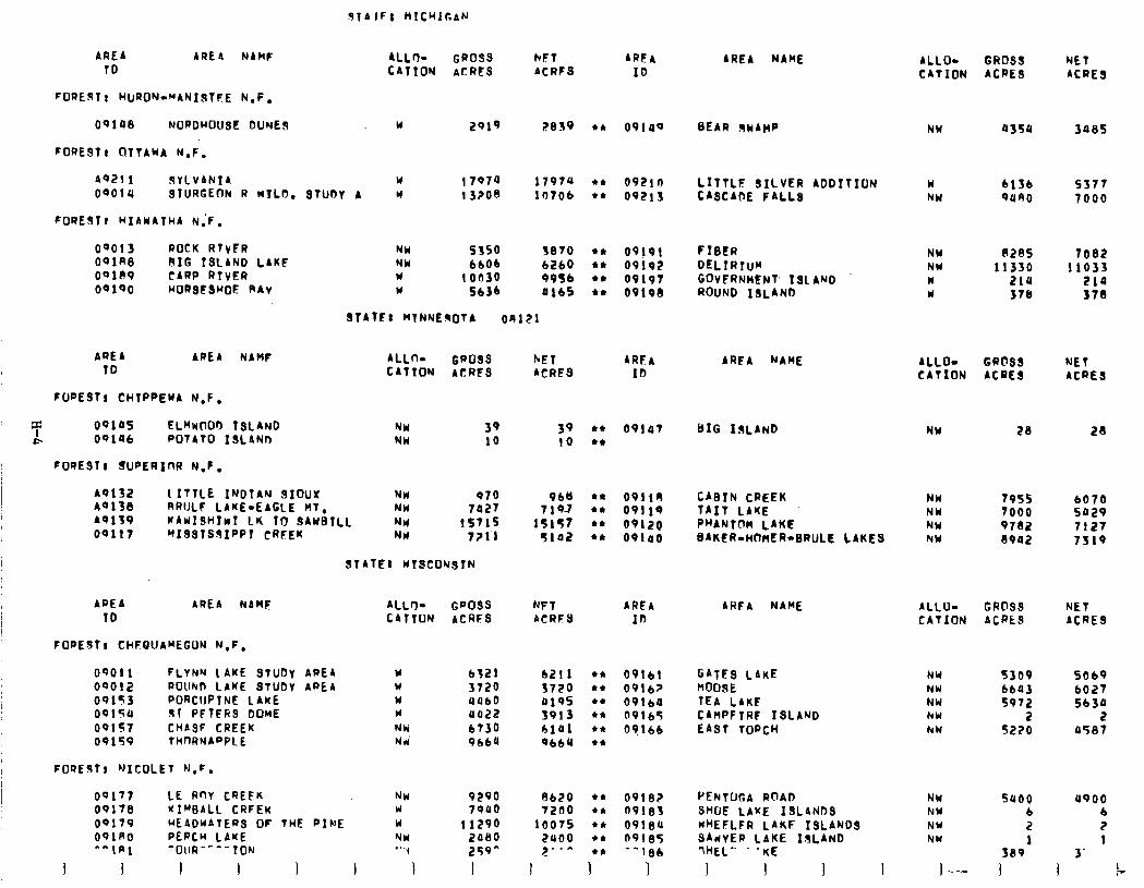
91~ IF: MICHIGAN
AREA AREA NAME 10
NFT ARF4 ACRES ID
AREA NAME ALLO- GROSS NET CATION ACRES ACRE3
09148 NORDHOUSE DUNES w 2919 44 09109 BEAR WIMP NW a350 3085
w 17974 1797u cc 0921n LITTLF SILVER ADDITION w 6136 5377 STUOY A U 13200 10706 ‘4 09213 CASCADE FALLS NW 9ano 7000
NU SJSO 3810 44 09!91 FIBER NY NW
P285 6b06 b2bO IC 09192 DELIRTu~ NW
10030 11330
Y 9956 +* 09191 GOVERNMENT 131 AND w 5636
2ia Y 0165 l * 0919cl ROUND ISLAND w 37I
7082 11033
219 378
ST41.F: MTNNEnOtA on121
FonE911 HURON-“ANIJTEE N.F.
FoRE9tt OlTAbdA N.F.
A921 1 FiYLVANIA 0Qoia STURGEON R WILo.
FOREST? HIAWATHA N;F.
00013 ROCK RTVFR 091R8 RIG TSLAND LAKE OQ11\9 CARP RIVER 09190 HORSFSHOE R4v
AREA ARE4 NAMF 10
FWESTr CHTPPEw4 N.F.
ALLO- GRO9S NET 4RF4 C4TTON 4CRFS ACRES IO
T 0910s ELMwOOD 13LAND NW 39
* 09196 POTATO ISLANn NW 10
FOREST8 SUPERICIR N,F,
39 l 4 09107 (0 44
49132 1 ITTLE INDTAN 9IOUX NH 070 40138 RRIJLF LAKE-EAGLE MT, NW la27 49139 KAwISH~NT LI( TtY 3AwBTLL NH 15715 00117 ~ISSTS%IPPT CREEK NH 7Zll
STATEl HISCONSTN
968 l * 09119 CABIN CREEK NW 7955 7 19-7
6070 l * 09119 TAIT LAKE NW 7000 5029
15157 +* 09120 PHANTOM LAKE NW 9782 7127 5102 l * 091ao BAKER-HOMER-BRULE LAKES NW 8902 7319
ARFA NAME ALLO- GRC’SS NET CATION ACRES ACRES
BIG ISLAND NW 28 28
AREA AREA NAMF 4LLrl- GPOSS NFT AREA TD CATTON ACRFS ACRFS In
FOPEST, CHFQUAMEGUN N,F, OQOI 1 FLYNN LAKE STUDY ARE4 00012 ROUND LAKE STUDV AREA 09153 PORCUPTNE LAKE 0015a 91 PFTERS DOwE 00157 CH4SF CREEK 09159 tli(nRNA”PLE
FOQEJT! ‘JICOLET N.F.
Y 6321 6211 l * 09161 w 3720 3720 l ,* 0916? W 4060 a195 l * 09164 Y 0022 3913 l * 09165 NW bT30 hial t* 09166 Ni 9660 0664 t4
00177 LE RnY CREFK 09178 KIMBALL CRFEK OQl79 UEADUATERS OF THE PINE 091AO PERCH LAKE ‘^\A1 ‘OllR-“-ION
1 I 1 I I I
NM 9290 W 79uo W 11290 NW 2080 “‘I 259^
I
A620 l * 09102 PENTOGA ROAD 7200 tt 0918s SHOE LAKE ISLANDS
10075 l * 09184 HHEFLFR L4KF ISLANDS 2uoo l * 091.35 34dVER LAKE IaLAN 2-*- 44 ‘-18h IHEL” . ‘KE
1 1 1 I 1 1 I
AHE4 NAME 4LLOw GROSS NET CATION ACRkS ACRES
GATES LAKE NJY 5309 SO69 MOOSE NW bba3 6027 TEA LAKF NW 5972 5b30 C4MPFlRF ISLAND NW 2 2 EAST TORCH NW 5220 0587
NW suoo NW b NY 2 NW
389l ) ..-- 1
a900 6 2 1
3’
I I 7
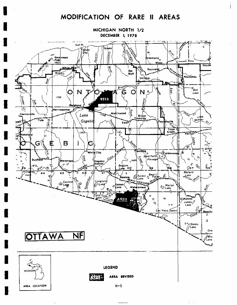
T A
conno
- - \ - - -3s I
MODIFICATION OF RARE II AREAS
MICHIGAN NORTH l/2 DECEMBER 1, 197s
--_- _- -__ .---- -_._ -7 - --. 7. I
IOTTAWA NFI .- .
AREA LOCATION
LEGEND AREA REVISED
H-5
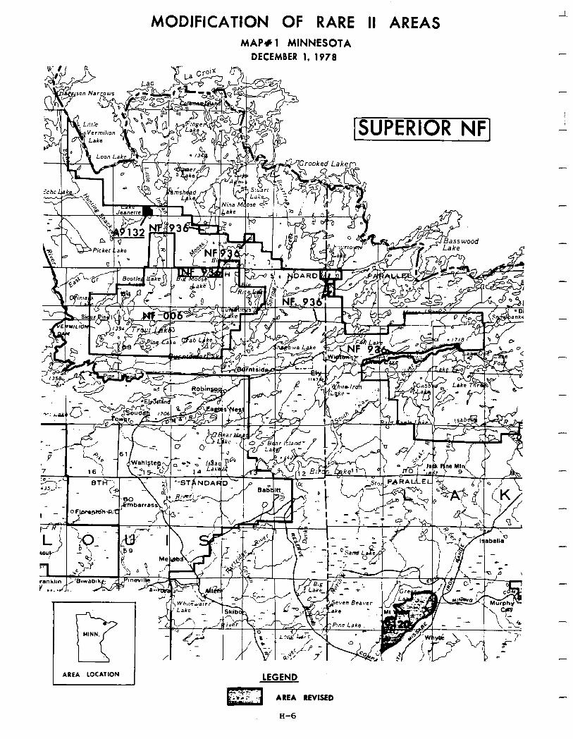
MODIFICATION OF RARE II AREAS MAP+ 1 MINNESOTA
DECEMBER 1. 1978
LEGEND
AREA REVISED
H-6
-
-
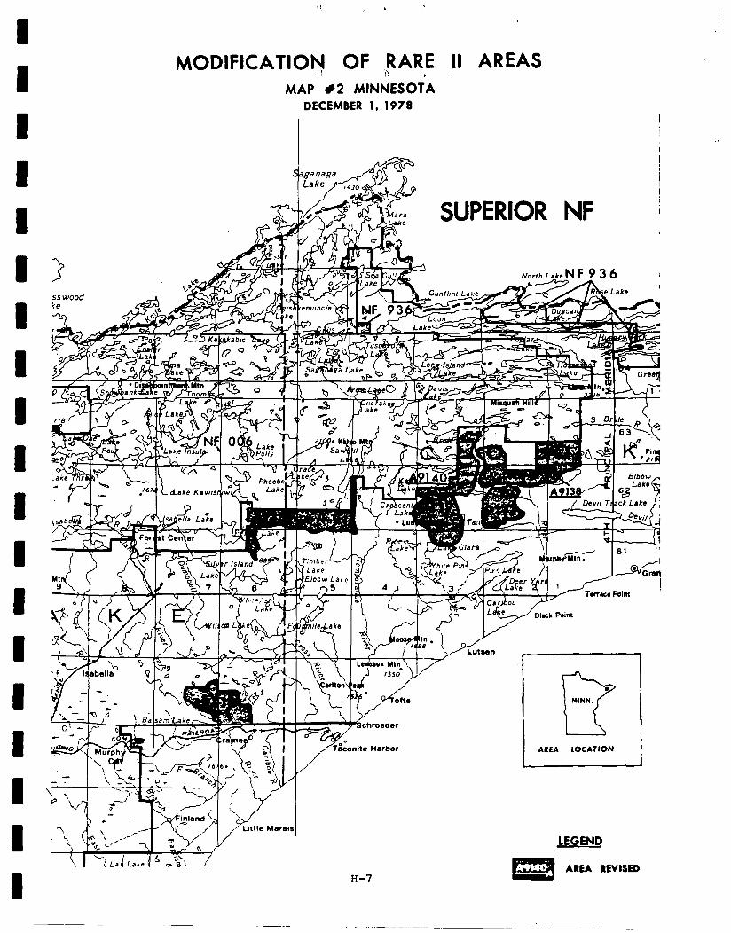
I I I I I I B I B 1 I I I I I I I I I
MODIFICATION OF ,RARE II AREAS .; I- ‘. MAP #2 MINNESOTA
DECEMBER 1, 1978
ss wood
onits Harbor AREA LOCAlION
H-7
LEGEND
AREA REVISED
a
-
Social. In general, few significant social effects could be identified as a result of implementation of the proposed action in the Lake States geographic area. Although public concern regarding BARE II allocations is relatively intense in some areas , response (4,614 inputs from Wisconsin; 1,824 inputs fromMichigan; and 1,697 inputs from Minnesota) contained com- parativelylittle discussionof social implications resulting from wilderness and nonwilderness allocations.
In Wisconsin, nonwildernessdesignation of LeRoy Creek and Thornapple would negatively affect important symbolic values that these areas haveforlocal residents andregionalpopulations, as wellas wildernessorientedrecreation opportunities. These values and opportunities will be provided for in the proposed action, however, through the recommendation of seven roadless areas as wilderness. Cm the Chequemegon National Forest, public comment does not substantiate previous estimates that wilderness classification of St. Peter's Dome would be resisted by mining interests. Only four inputs indicated concern for presence of mineral resources. In addition, public comment does not support the perception that vehicle access restrictions would resultinopposition towilderness designationof FlynnLakeWilderness Study Area. This comment was only offered 15 times in support of nonwilderness.
In Michigan, eight roadless areas have been recommended for wilderness and six for nonwilderness. Generally, the proposed action will provide for importantsymbolicvalues andadditionalprimitive recreation opportunities, especially in regard to Sylvania, Sturgeon River, and Little Silver Addi- tions. Negative affects on primitive recreation opportunities may result from nonwilderness designation of Big Island Lake which was favored by public comment for wilderness because of its suitability for nonmotorized land and water recreation, and its lack of suitability for developed recreation.
All eleven areas in Minnesota were allocated to nonwilderness. Analysis indicatedvery strong nonwilderness sentiment from people WithinMinnesota. The proposed action mitigates perceived consequences to social services, the economy, and existing recreation use patterns. Nonwilderness desig- nation will negatively affect the wilderness-associated symbolic value of BABE IIroadless areas whichis an important consideration, mostlyto people commenting on BABE II who live out-of-state.
Economic. Asummary of economic impactsforthe proposedaction is presented in the followingtable. Thesearenationalimpactsandmay or may notoccur in the state specified. Allstateimpactsareallocated fromthe national totals and arebaseduponstateresource changes. They are the state's contribution to the national impact. For a completedescription on how the impacts were calculated see Appendix W.
-
-
-
-
-
-
-
-
-
-
H-8
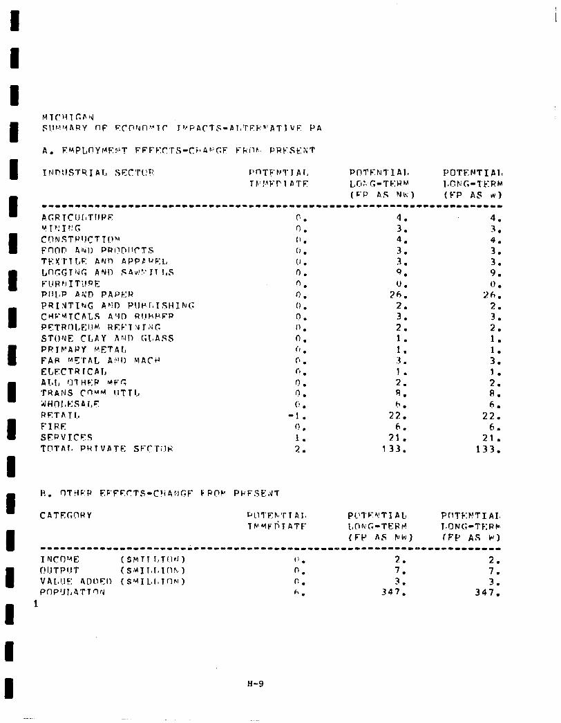
I tJI?:ISTS I Al,, Sc:(17l!C rlnTF’r)TJ Ai, PnTFNl’I Alo POTENT1 Alt TF’!.‘FI’l PTE L CI :.I (; - T C: H M ItCFG-TicFIb
(C-P AS Nk) (FP AS w) ------1-11---1-----1-------------------------------------------------
A.GRTCII[ITIIPE c. 4. 4. v r ‘1 I !I c, rl. 3. 3. C!1NST),lJCTTI.!“’ (’ . 4. 4. FnOl? 4til) PRi!l?llCTS (‘I . 3. 3. TEXTlI.,E Ahln APPC ~~c:l, !J . 3 . . 3. Lnc,c,TNf; AND PPid’. rT 1,s 0. 9. 9. f;UPrr ITYPE 0. U. 0 . Plll,P AXI? PAPER 0. 36. 26. PRItiTIhG AClD P1JvIoISHIkG 0 . 2. 2. CHV’4TChLS A”JD RI!HF\FP n . 3. 3. PrTRrll,F:IJM REF’T Y r;\jr. 1’ . 2. 2. STONE CLAY fi:Jl! GLASS 0. 1. 1. PRlFrAPY METAL t-1 . 1. 1. FAP METAL A:‘!0 VACd fi . :r . 3. mxcrR rce I-# . 1. 1. A 7-b I, (1) 7 t-i F: P M F C f) . 2. 2. T W A $1 S C n M M I.1 T T l., n. R. A. bjt+nr,k:sar.,F (‘J l b. 6
RET A 1 I, -1. 22. 22: FIRE 0 l 6. 6.
SEDVLCFS 1. 21. 21. TOTAl, PM 1 VATF: SF’C’ri.lti 2. 133. 133.
CATEGClPY rjiii’Eh*r T p.1, PC!l’F*!Tl AC PTlTC:F!TI AI, Tb’MFril ATE- I,Ok:T.-Tt:h’ti LONG-TF:PFo
(FP AS Fh) (FP AS W) ----1-1----11---------~-------------------~-~-----------~------------ I NCD’-4E ( SMTl l,TI~PJ) 0 . 3. 2. f!I!TPlIT (SMlT#1~lnh) 0. 7. 7. VAL!JF r\Dl3ClI (SMI LIaTf’lhl) I:. 3 - . 3. PflP’Jl,ATTnpd h . 347. 347.
1
H-9
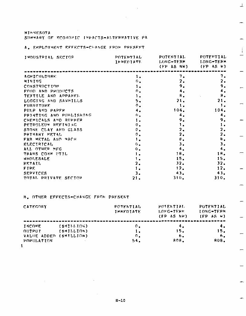
-
I’JnllSTRT4L SECTr3F PftTE:NTY AL PC)TENT 1AIfi PWTF~!TI AL - IWME:PTATF. I,Uh;G-TFRP I,IlNG-TRPIII
(F‘P AS NW) (C'P AS WI -------------II---I-------------------------------------------------- -
H. flTYFR EFFECTS-CHAtiCE FPt’lbi PRF’SEKT
CATFcnRy
1. 7. 7. (1 . 2. 2. 1. 9. 9. - 0. 4. 4. 1. 8. 8. S. 21. 21. 0. 1. 1. - 4. 104. 104. (1 . 4. 4. 1. 9. 9. - 0 . 1. 1. 0. 2. 2. 0. 2. 7 . . 1. 8. 8. - 0 . 3. 3. 0. 4. 4. 1. 18. 1R. - I. 15. 15. 2. 32. 32. I. 12. 12. - 3. 43. 43.
21. 3 10. 310. -
-
POTFKTI AL LONG-TFPM (FP AS k) _
-----------------------------------~---------------------------------
INCOME (SMII~l.l.nli;, 0. 4. 4. OIJTP LJ .I’ (S~TI,LTfl(U) 1. 15. 15.
- VALIJF ADDEn (SHTLLaJON) 0. 6. 6. PW’IJLAT TON 54. 808. 808.
1 -
H-10

H-11
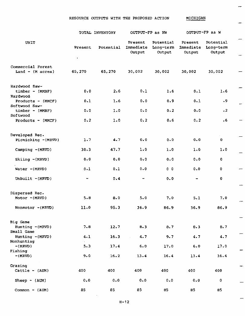
RESOURCE OUTPUTS WITH THE PROPOSED ACTION MICHIGAN
TOTAL INVENTORY OUTPUT-FP as NW OUTPUT-FP as W
UNIT Present Potential Present Potential Present Potential Immediate Long-term Immediate Long-term
Output Output Output Output
Commercial Forest Land - (M acres) 65,270 65,270 30,002 30,002 30,002 30,002 -
Hardwood Saw- timber - (MMBF)
Hardwood Products - (MMCF)
Softwood Saw- timber - (MMBF)
Softwood Products - (MMCF)
0.0
0.1
0.0
0.2
2.6
1.6
1.0
1.0
0.1
0.0
0.0
0.2
- 1.6 0.1 1.6
0.9 0.1 .9 -
0.2 0.0 .2
0.6 0.2 .6 -
Developed Rec. Picnicking -(MRVD) 0.0
1.0
0.0
0 0
0.0
0.0
1.0
0.0
0.0
0
1.0
0
0
0
1.7 4.7
30.3 47.7
0.0 0.0
0.1 0.1
0.4
0.0
1.0
0.0
0.0
Camping -(MRVD)
Skiing -(MRVD)
Water -(MRVD)
Unbuilt -(MRVD)
Dispersed Rec. Motor -(MRVD) 5.8 8.0
11.0 95.3
5.0 7.0 5.1 7.0
36.9 86.9 36.9 86.9 Nonmotor -(MRVD)
Big Game Hunting -(MRVD)
Small Game Hunting -(MRVD)
Nonhunting -(MRVD)
Fishing -(MRVD)
7.0 12.7 8.3
4.1 16.3 4.7
5.3 17.4 6.0
9.0 16.2 13.4
8.7 8.3 8.7
9.7 4.7 4.7
17.0 6.0 17.0
16.4 13.4 16.4
Grazing Cattle - (AUM) 400 400 400
0.0 0.0 0.0
85 85 85
400 400 400
0.0 0.0 0
85 85 85
Sheep - (AUM,)
Common - (AUM)
H-12
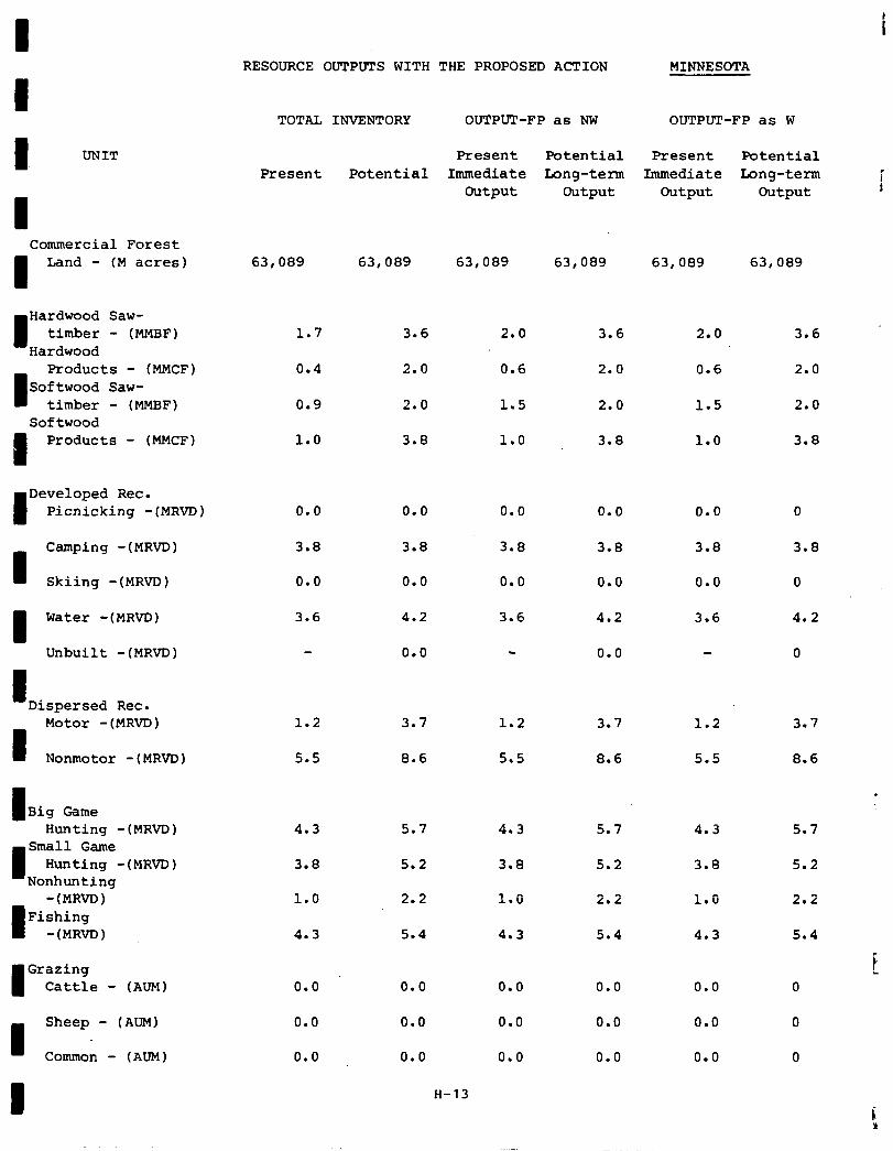
RESOURCE OUTPUTS WITH THE PROPOSED ACTION MINNESOTA
TOTAL INVENTORY OUTPUT-FP as NW OUTPUT-FP as W
I UNIT Present Potential Present Potential Present Potential Immediate Long-term Immediate Long-term i
Output Output Output Output t
Commercial Forest
I Land - (M acres) 63,089 63,089 63,089 63,089 63,089 63,089
I Hardwood Saw-
timber - (MMBF) Hardwood
Products - (MMCF) Softwood Saw-
timber - (MMBF) Softwood
I Products - (MMCF)
I Developed Rec.
Picnicking -(MRVD)
I Camping -(MRVD)
Skiing -(MRVD)
Water -(MRVD)
Unbuilt -(MRVD)
I Dispersed Rec.
I
Motor -(MRVD)
Nonmotor -(MRVD)
I Big Game Hunting -(MRVD)
Small Game Hunting -(MRVD)
Nonhunting -(MRvD)
I Fishing -(MRm)
Grazing Cattle - (AUM)
I Sheep - (AUM)
Common - (AUM)
I
1.7 3.6 2.0 3.6
0.4 2.0 0.6 2.0
0.9 2.0 1.5 2.0
1.0 3.8 1.0 3.8
0.0 0.0 0.0
3.8 3.8 3.8
0.0 0.0 0.0
3.6 4.2 3.6
0.0
1.2 3.7 1.2
5.5 8.6 5.5
4.3 5.7
3.8 5.2
1.0 2.2
4.3 5.4
0.0 0.0
0.0 0.0
0.0 0.0
H-13
4.3 5.7 4.3
3.8 5.2 3.8
1.0 2.2 1.0
4.3 5.4 4.3
0.0
0.0
0.0
0.0
3.8
0.0
4.2
0.0
3.7
8.6
0.0
0.0
0.0
2.0 3.6
0.6 2.0
1.5 2.0
1.0 3.8
0.0 0
3.8 3.8
0.0 0
3.6 4.2
0
1.2 3.7
5.5 8.6
0.0
0.0
0.0
.
5.7
5.2
2.2
5.4
f
r. P
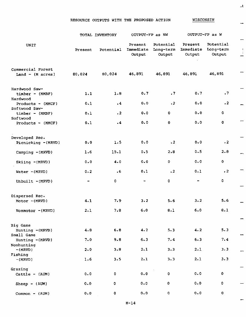
UNIT
Commercial Forest band - (M acres) 80,024 80,024 46,891 46,891 46,891 46,891
Hardwood Saw- timber - (MMBF)
Hardwood Products - (MMCF)
Softwood Saw- timber - (MMBF)
Softwood Products - (MMCF)
1.1
0.1
0.1
0.1
1.8 0.7 .7 0.7 .7
.4 0.0 .2 0.0 .2
.2 0.0 0 0.0 0
.4 0.0 0 0.0 0
Developed Rec. Picnicking -(MRVD) 1.5
Camping -(MRVD)
0.0
1.6 15.1
Skiing -(MRVD) 4.0
Water -(MRVD)
0.0
0.2
Unbuilt -(MRVD) 0
Dispersed Rec. Motor -(MRVD) 7.9 3.2 5.6 3.2 5.6 _
Nonmotor -(MRVD)
4.1
2.1 7.8 6.0 8.1 6.0 8.1
Big Game Hunting -(MRVD)
Small Game Hunting -(MRVD)
Nonhunting -(MRVD)
Fishing -(MRVD)
4.8 6.8 4.2
7.0 9.8 6.3
2.0 3.8
1.6 3.5
Grazing Cattle - (AUM)
Sheep - (Am)
Common - (AUM)
0.0
0.0
0.0
RESOURCE OUTPUTS WITH THE PROPOSED ACTION WISCONSIN
TOTAL
Present
INVENTORY OUTPUT-FP as NW OUTPUT-FP as W
Present Potential Present Potential Potential Immediate Long-term Immediate Long-term
Output Output Output Output
.6
-
I
-
-
-
-
-
.2 0.0 .2
2.8 0.5 2.8 _
0.0
0.5
0.0 0 0.0 0
0.1 .2 0.1 .2 -
0 0
2.1
2.1
0.0
0.0
0.0
-I
5.3
7.4
3.3
3.3
4.2
6.3
2.1
2.1
0.0
0.0
0.0
5.3 -
7.4
3.3 _
3.3
0
0 -
0
H-14
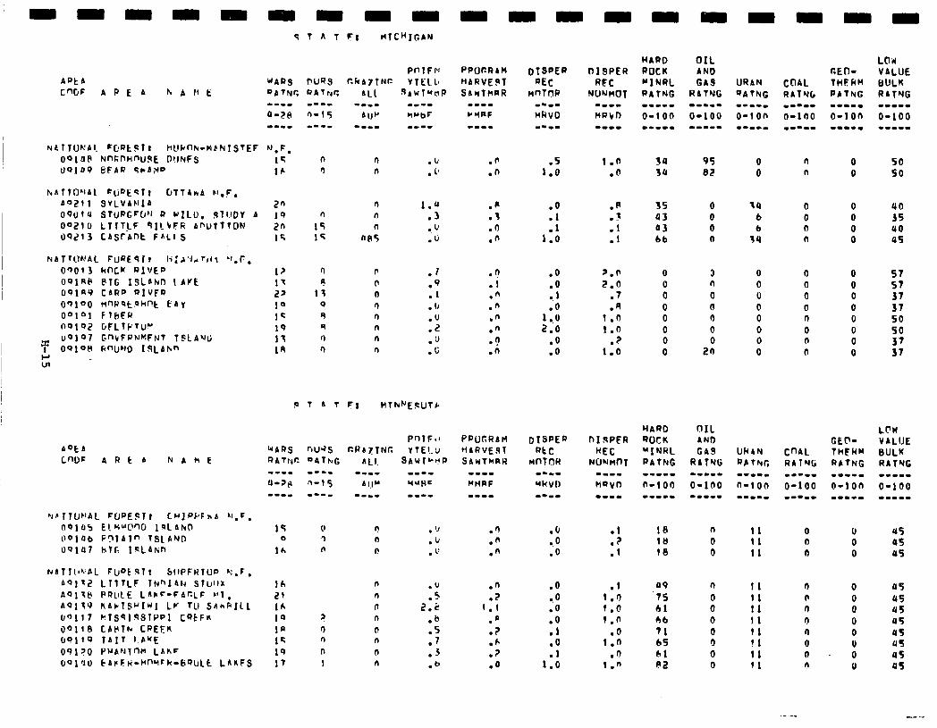
AfJtb L”DF ARt b NANE
NbTIIo’.~bL FcPE!JT~ SllPFRlUo h!.F,
bQ1~2 LTlfLF lNnI4f.4 STWII AOl7lj PRLILE LAN=-FbCLF L’l, A‘7179 KAclSuItiI LV 111 SAnkIlL (rQll7 PTS~l~STPpI CQCFK J’JllB CAClTk CREEK 69110 TAIT I.buE 091 ?(I PUANlnM LhkF 601'10 CArFk-HfWFk-b'?ULt LAnFS
15 0 0 !l
lb n
lh 21 16 10 ? la 0 12 n 19 ll 17 1
. ‘J
.iJ , 1:
.u
.s
2.2
.b
.5
.7
.3
.b
.5 1.0
1.0 .O
l .O .I
1::
.R
.-
.:
.I
.o
.O 1
IO 1 ..u 2.0
.o
.o
p.0 2.0
.7
.A 1.0 1.0
? 1:a
.o
.O
.O
.O
0.0 .O .O .l .o .l
1.0
:: .I
.I a9 1.0 75 f.@ 61
1.0 46
.o 71 1.0 65
n
1:; 61 ni?
30 3r,
35 0 93 0 03 0 bb n
18 10 18
95 0 n 0 50 BE 0 n 0 SO
40 35 a0 a5
3 n 0 0 0 0
2:
57 57 37 37 so 50 37 37
n I1 0 u5 0 11 0
H 4s
0 11 0 0 rrs
45 45 45 us us a5 45 as
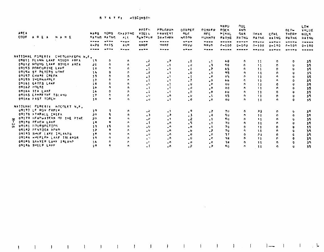
NATYUNPI FUQEJlr hTCclLF1 N,F, 09177 Lr WV rRFt K 0917tl bTHPA(L cf.'tF~
z 00170 hFAf’wATFkR rlF TclE k’TNF I OOlPO PFHCH LAKF
g O'JlAl FnlJ~SFCTIf'K OOlRZ FFNTIJGA IdPAIl 691a3 SHC’F LAKE I*LAhnS:
OPlnll *"EFLFk LAnF 191AklC1S OQlrS SAkVEQ LA'fk JqLANP
OolRb SYELP LAFF
I- 21 10 13 13 10 ia 1* 16 17 la
n n n n n n
0 ? 0 n n n ll ll n n
0 I\ r! n n n
3 n 5 n A n 0 n
15 n 0 n 0 n r) n n P 9 n
f-‘P(&l)Ah
k'AWVEq1 SAUTtiPIi
.’
.l
.l
.I
.f
.I 1
:i
.l
.n
.I
.i
.?
.I
.n
.n
.n
.fi
.n
.n
.n
.I 1 . . > .
.l
.n
.n
.n
.n
.o
.t
.n
.z
.a
.I
.l
.I
.?
.n
.'!
.n
.2
f-l 0 r) n n 0 n n
n n n
ll n n n 0 (I 0 n
cl n
11 11 11 11 11 11 11 11 I1 11 11
?3 I1 11 I1 I1 II 25 11 11 11
0 0 I, 0 IJ 0 U 6 0 0 0
b 0 I, 0 0 0 C 0 0 IJ
35 35 35 35 35 3s 35 35 35 35
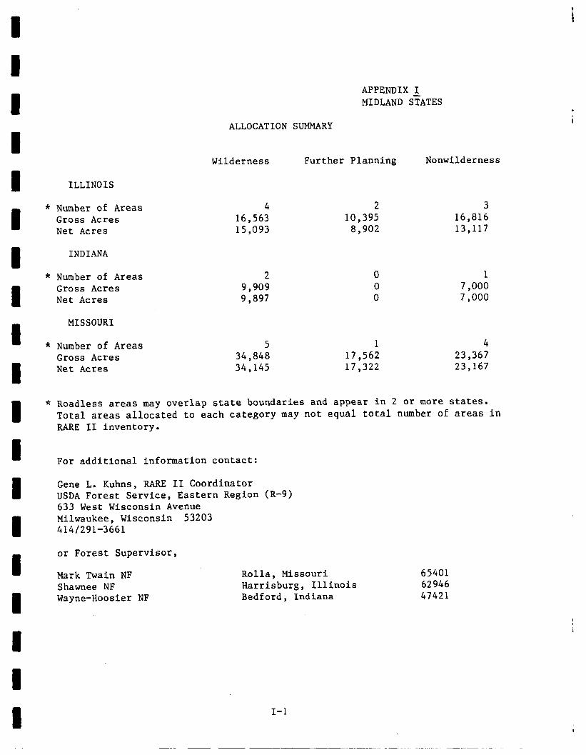
ILLINOIS
Number of Areas 4 2 3 Gross Acres 16,563 10,395 16,816 Net Acres 15,093 8,902 13,117
INDIANA
Number of Areas 2 0 1 Gross Acres 9,909 0 7,000 Net Acres 9,897 0 7,000
MISSOURI
Number of Areas 5 1 4 Gross Acres 34,848 17,562 23,367 Net Acres 34,145 17,322 23,167
APPENDIX I MIDLAND STATES
ALLOCATION SUMMARY
Wilderness Further Planning Nonwilderness
Roadless areas may overlap state boundaries and appear in 2 or more states. Total areas allocated to each category may not equal total number of areas in RARE II inventory.
For additional information contact:
Gene L. Kuhns, RARE II Coordinator USDA Forest Service, Eastern Region (R-9) 633 West Wisconsin Avenue Milwaukee, Wisconsin 53203 414/291-3661
or Forest Supervisor,
Mark Twain NF Shawnee NF Wayne-Hoosier NF
Rolla, Missouri Harrisburg, Illinois Bedford, Indiana
65401 62946 47421
I-l
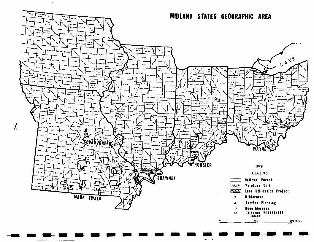
MIDLAND STATES GEOGRAPHIC AREA
1978
LEGEND
I1 National Forest
p-j Purcbase Unit
-1 Land utilization project
0 Wilderness
A Farther Planning
0 Nonwilderness 0 EXISTIMC W ILDEPlESS
SCALE
100 200 Mile1
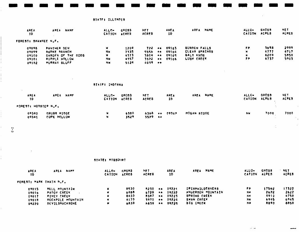
STATFI ILLTNlrxS
AREA APEA NAHF ID
FOREST1 SHAHNEE N.F.
oqo90 PANTHER DEN oqo99 BURKE @RANCH 0~100 GARDFN OF THF GODS OQlOl RIPPLE HOLLOW OQlOZ WJRAAY BLUFF
AREA APEA NAHF ID
FOREST8 WO~SIEP N.F.
OQ300 GRUB9 RIDGE oq301 COPE HDLLOW
ALLn- CD099 NC1 AREA CATION ACRES ACRtS ID
ARFA NAME
Y NW # NH NW
1zou 733s 0373 u357 5124
722 l * OPlOl BURDEN FALLS 5556 l * ov1oa CLEAR SPRINGS 3804 l * 09105 BALD KNllB 3522 +* 09106 LUSW CREEK 0059 l +
SfAiPl INDTANA
ALLO- GROSS NET ARCA AREA NAME CATION ACRES ACRES ID
n Y
6380 6368 l c 0939? HOGAN RIDGE 3529 3529 l *
STATtl KTSSOllRI
AREA AREA NAPr ID
ALL+ GROSS bFT ARFA CATTON ACRES ACRE8 IO
AREA NAME
FOREST, MARK TWAIN k.F,
oqo1s RELL WnUNTAIN w 8530 9230 l * 09221 IPIsHuILDERNESS OQOlb PADDY CREEK W 6888 6728 l * 09222 ANDERSON “OUNTAIN 09017 PINEY CREEK W 0030 (I387 l * 09223 SPRING CREEK 09018 ROCKPILE MflUNTAIN w 0170 3970 l * 09220 SWAN CRFEK
oq220 DEVILSRACKBONE W 6830 6830 l * 09225 BIG CREEK
ALLU- GWDSS NET CAlInN ACRES ACRES
FP 3658 2909 n 0777 0717
:P 6209 6737 S@SO 5903
ALLU- GROSS NET CATION ACRES ACRES
NW 7000. 7000
ALLO- GROSS NET CATION ACRES ACRES
FP NY NW NW NW
1756Z 173l?z 2622 2622 4010 4750 6905 694s 6890 8850
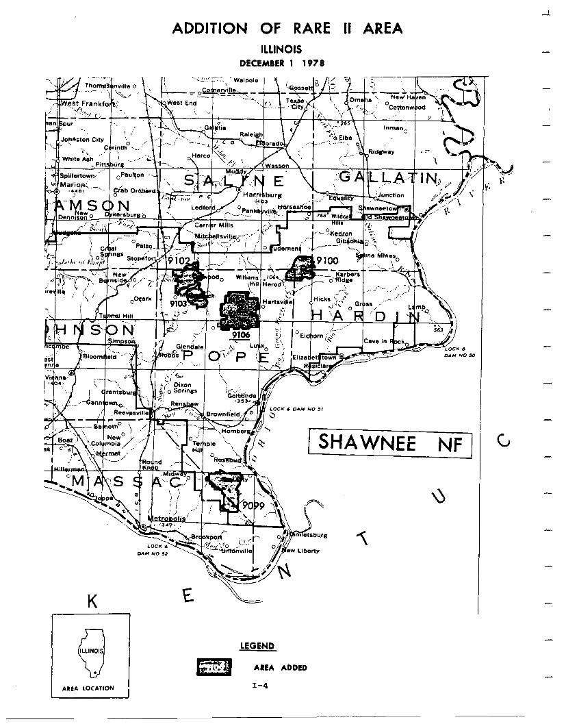
ADDITION OF RARE II AREA ILLlNOlS
DECEMBER 1 1978
-
-
-
-
-
-
-
- a1nA I
==YOCK 6 01” NO 50
CJ 1 NF -
lKn& - I-\ 0 I . .‘d -. - ..,
AREA LOCATION
LEGEND
AREA ADDED
I-4
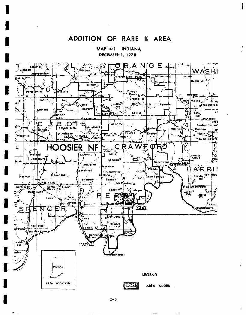
I D I I I I I I I I I D. 1 D I I I 1 I
t
ADDITION OF RARE II AREA MAP * 1 INDIANA
DECEMBER 1. 1978 I
.3 INDIAN
LEGEND
AREA ADDED I AREA LOCATION
J
I-5
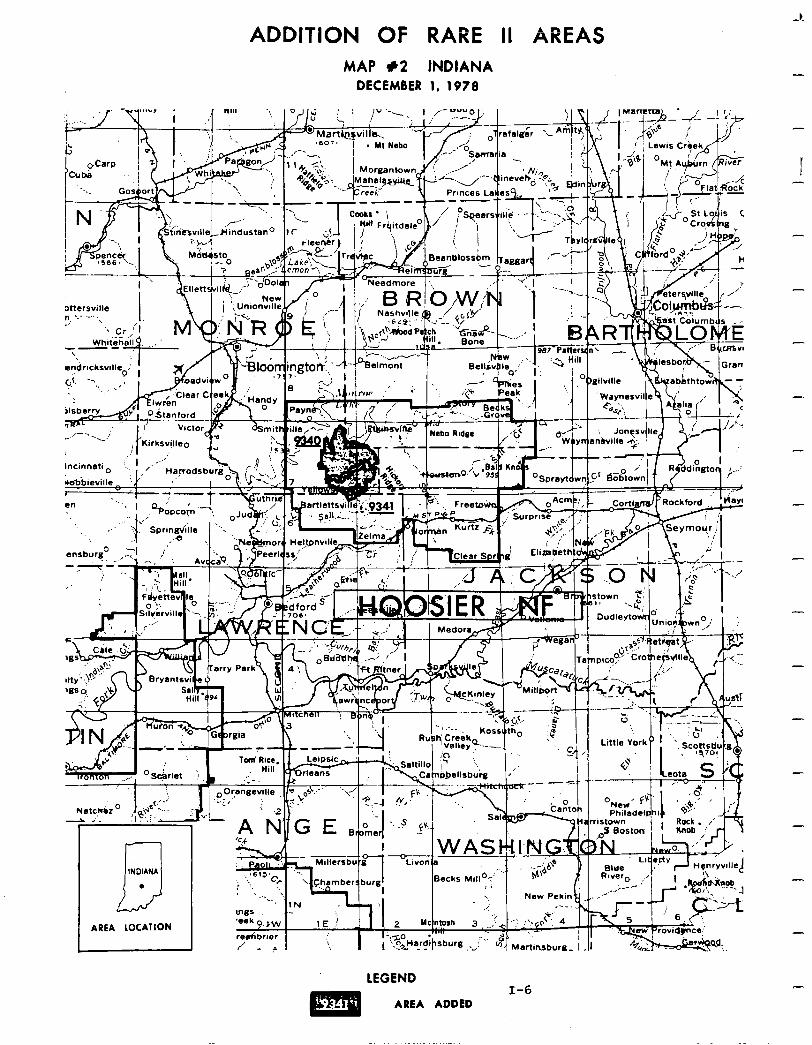
ADDITION OF RARE II AREAS MAP #2 tNDlANA
DECEMBER 1, 197B
‘... i
Princes LaJesx
Xterswlle r8 .- -- ‘\ 2’ ‘\ cr,‘I;.
Mm,. ’ ” I ;iTt fl
- :,,! Kirksv,illeo
_..’
INDIANA 3 .
AREA LOCATION
-.
1E ! ‘i Y.’
3 _; c ..: !‘rqot : 4
? Martinsbura- , 1
LEGEND I-6
AREA ADDED
Social. Allocation of areas to wilderness and nonwilderness in Missouri closelycorrespondsto statedpublicpreferences. The proposedaction allocates those areas having least support forwilderness tononwilderness uses. Wilder- ness designationof Bell Mountainand Paddy Creekwillprotectsymbolic wilder- ness values, enhance compatibility of current recreation use patterns, and protect historical and cultural sites.
Allocation of four Illinois areas to wilderness and three to nonwilderness, and two Indiana areas to wilderness and one to nonwilderness will add to the wilderness resource without causing significant adverse economic impacts and withoutseriouslyeffectingexistingusageofNationalForests. Inaddition, the symbolicvalueassociated withwildernessclassificationwill beprotected.
No significant economic effects are forecast for any communities near areas designatedwildernessregardlessof localresident fearsabout thepossibility. There are private lands andmineral rights within some areastobe recommended for wildernessdesignation ,and there maybe some reaction amonglandowners if they feel wildernessdesignationlimitstheir options on the use of their land or if it appears the Federal Government might acquire their land through condemnation.
Generally, wildernessdesignation in Indiana should stimulatetheleast social concern while situations in Illinois and Missouri may have more due to the compromisenatureof theallocations and thelargenumbersofpersons responding for or against wilderness.
Economic. Asummary of economic impacts for the proposedaction is presentedin the followingtable. Thesearethe national impacts andmay or may notoccur in the state specified. Allstate impacts are allocated fromthe national totals and arebaseduponstateresourcechanges. They are the state's contribution to the national impact. For a completedescription on how the impacts were cal- culated see Appendix W.
I-7
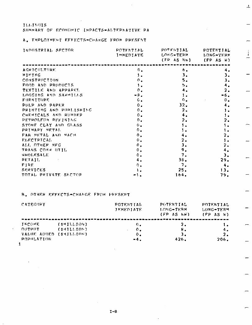
SiIMmARY OF ~Cfl~l(l~~lC IMPACTS-PI,TFP~ATTVE PA
-
-
-
-
c
I-8
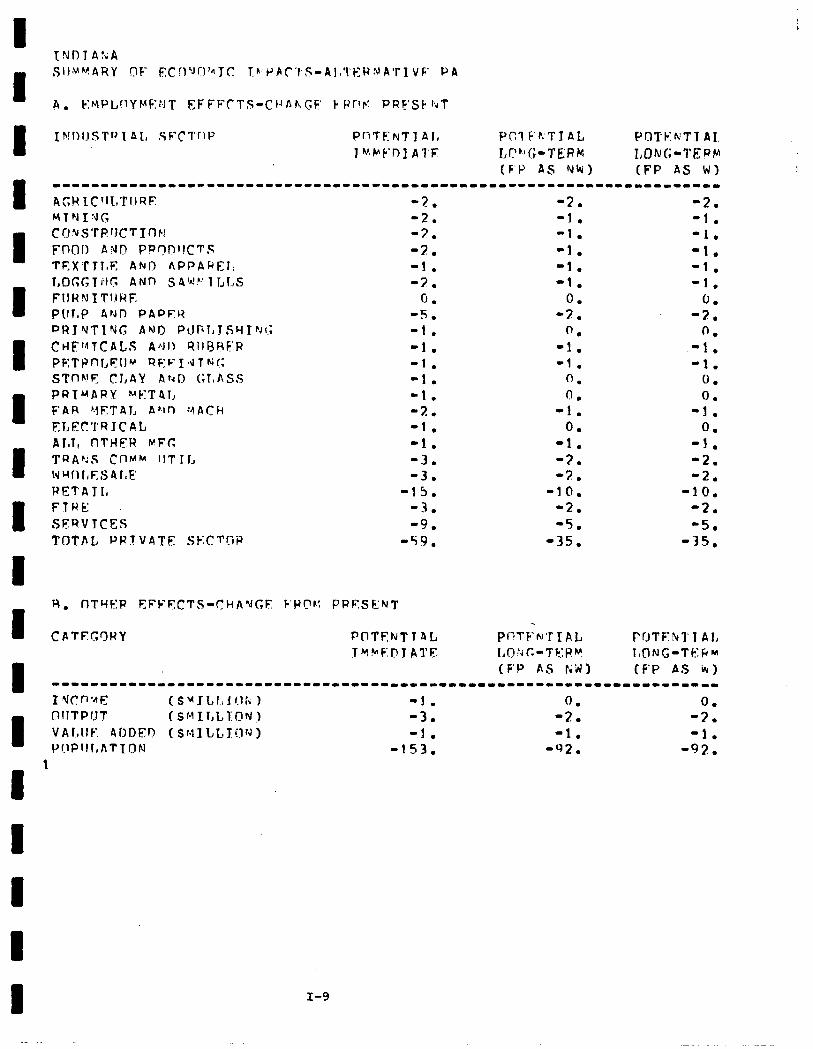
ACY lC'IL'TI.JRE
Y T N I !J c.
C~J'ilS'l'R~JCTIn~l Fn(l!) ANIT F'FQp1tCT.s TEXY'Tl,E Ahrl2 APPAREI: I,OGc;TI;lc: AND SA'dF? ILLS FIIHN ITUHE Ptlr,P Ar.Jl-I PAPEY PRTYTlY(; AN0 P\.llil,JSYIfi~(.; CklF'flTCAL.7 AfiJI? QIlRHF:F PETPnl,F;:ll’.’ RF:~-IdTNC STnh!F CT,AY AhI> (;T,ASS PRIMARY METPT, F A R '.I F:T A L A hl n :4 A C h
FLEC'I'R IC A L AloT,, nTHER ru-Fr; TRAkS CnMM flTlL WwrlllF,S41,F PETAlI, FTRE SERVTCFS TT)TI\L PP.?VATE Sb:CT!;P
F’OTEhTl AL TeClNG-Tf?::Wm (F’P AS a,)
I-9

A. k:MPi,UYMENT EFFECTS-CWPNfZF CPflM PRESFtlT -
I NDUSTH L Al, SF:CTnP Pf’TKWTT Al, PflTFr!TIAL POTEl~l’I AL IL’P’EDIATF LClh G-TFWY LONG-TFRF! _
(F-P AS NW) (FP AS W) ----------*---------------------------------------------------------- AGR TCIII,T\IRE: MTNTNG CONSTRlJCTTnN FnOD ANI) PR7IlDIICTS TEXTfloE AND APPAbFlr l,nGGlNG AF’D S9k’t.‘ILLS FllRNITllRF PULP AND PAPER PRIFITT”VG ANT! l’lIF\t,TSHT~rC; CHFh’TCA1.S AMI? RIIHHKR PETROLFIlM Rb:FTdI kG STONE CLAY ANO GLASS PRIPARY METAl: FAH METAL A’\ln MACH EI,i?CTRlCA1, ALL OTHEH Mb-c; TPb%S CI?MM IlTIl, WHOLESALE RETAIL, FIRE SERV’ICFS TI7TA1, PRTVATF SECTfIR
1. 0. 1. 0. 0. 4. (1 . 2. c, (’ . 0. 0. 0. 1. 0 . n . 1. 1. 3. 1. 3.
20.
CATEGflRY PnTEKTIAIa TMM1FlJTATE
R. 2. 3. 4. 2. 4. 0. 4. 1. 7 ,. 2. 1. 1. 7 -. 1. 2. 5. 4.
30. 4.
15. 96.
PnTFNTlAL PUTEkTI AL LOhG-TEFM l.,nNC-TEP# (FP AS NW) (FP AS h)
7.
;: ‘4. 1. 0. 0. 0. 1. 1. 1. 1. 1. 2. 1. 2. 3.
2:: 3.
11. 70.
-----------1-1--1----------------------------------------------------
TNCCIYK f sfmIIrlr f-m I 0, 1. 1. nIITPIIT (SYI,i81010~) 1. 4. 3. VALlJE ADDEn f SYTL~irTON1 0. 25:: 1. PQPllLAT1nN 52. 183.
1
-
-
-
-
-
-
I-10
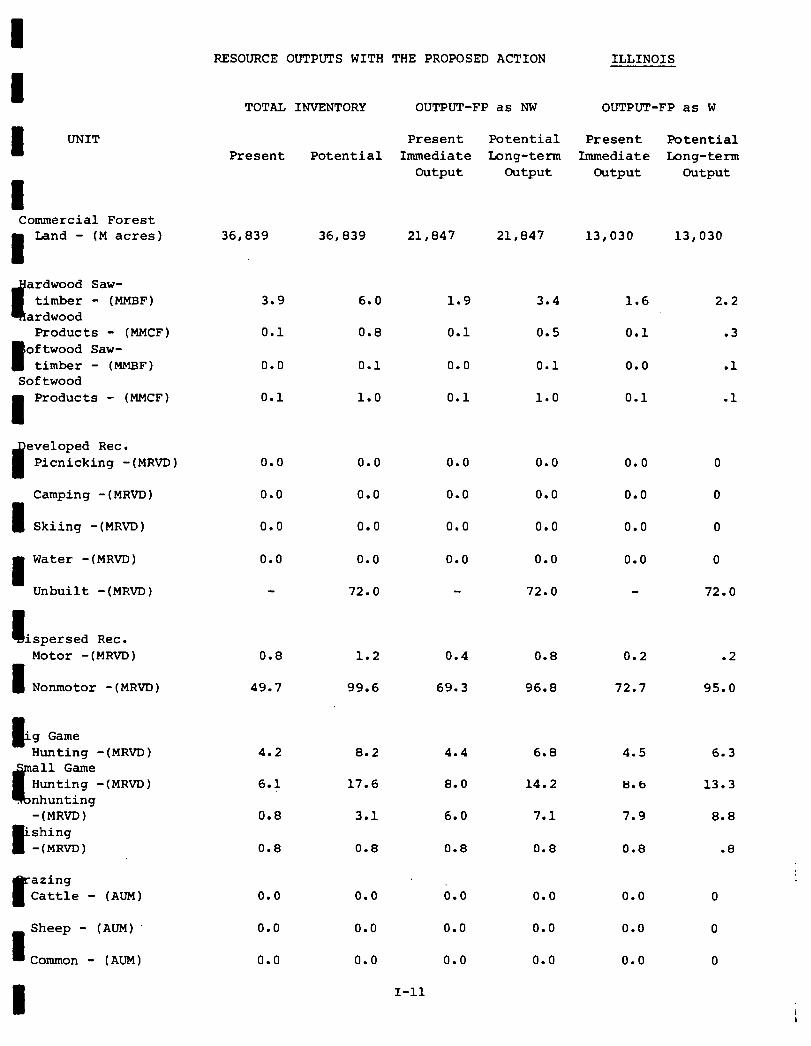
I I I UNIT
I Commercial Forest
I
Land - (M acres)
t
ardwood Saw- timber - (MMBF)
ardwood Products - (MMCF)
I oftwood Saw-
timber - (MMBF) Softwood
I
Products - (MMCF)
9
eveloped Rec. Picnicking -(MRVD)
Camping -(MRVD)
I Skiing -(MRVD)
I
Water -(MRVD)
Unbuilt -(MRVD)
I ispersed Rec. Motor - (MRVD)
1 Nonxnotor - (MRVD)
G 'g Game Hunting -(MRVD)
c
all Game Hunting -(MRVD) nhunting -(MRVD)
'shing P -(MRVD)
P
azing Cattle - (AUM)
1
Sheep - (AUM)
Common - (AUM)
1
RESOURCE OUTPUTS WITH THE PROPOSED ACTION ILLINOIS
TOTAL INVENTORY OUTPUT-FP as NW OUTPU!P-FP as W
Present Potential Present Potential Present Potential Immediate Long-term Immediate Long-term
output output output output
36,839 36,839 21,847 21,847 13,030 13,030
3.9 6.0 1.9 3.4 1.6 2.2
0.1 0.8 0.1 0.5 0.1 .3
0.0 0.1 0.0 0.1 0.0 .l
0.1 1.0 0.1 1.0 0.1 .l
0.0
0.0
0.0
0.0
0.8 1.2 0.4 0.8 0.2
49.7 99.6 69.3 96.8 72.7
0.0
0.0
0.0
0.0
72.0
4.2 8.2
6.1 17.6
0.8 3.1
0.8 0.8
0.0 0.0
0.0 0.0
0.0 0.0
0.0
0.0
0.0
0.0
4.4
8.0
6.0
0.8
il.0
0.0
0.0
I-11
0.0
0.0
0.0
0.0
72.0
0.0
0.0
0.0
0.0
6.8 4.5
14.2 8.6
7.1 7.9
0.8 0.8
0.0 0.0
0.0 0.0
0.0 0.0
0
0
0
0
72.0
.2
95.0
6.3
13.3
8.8
.8
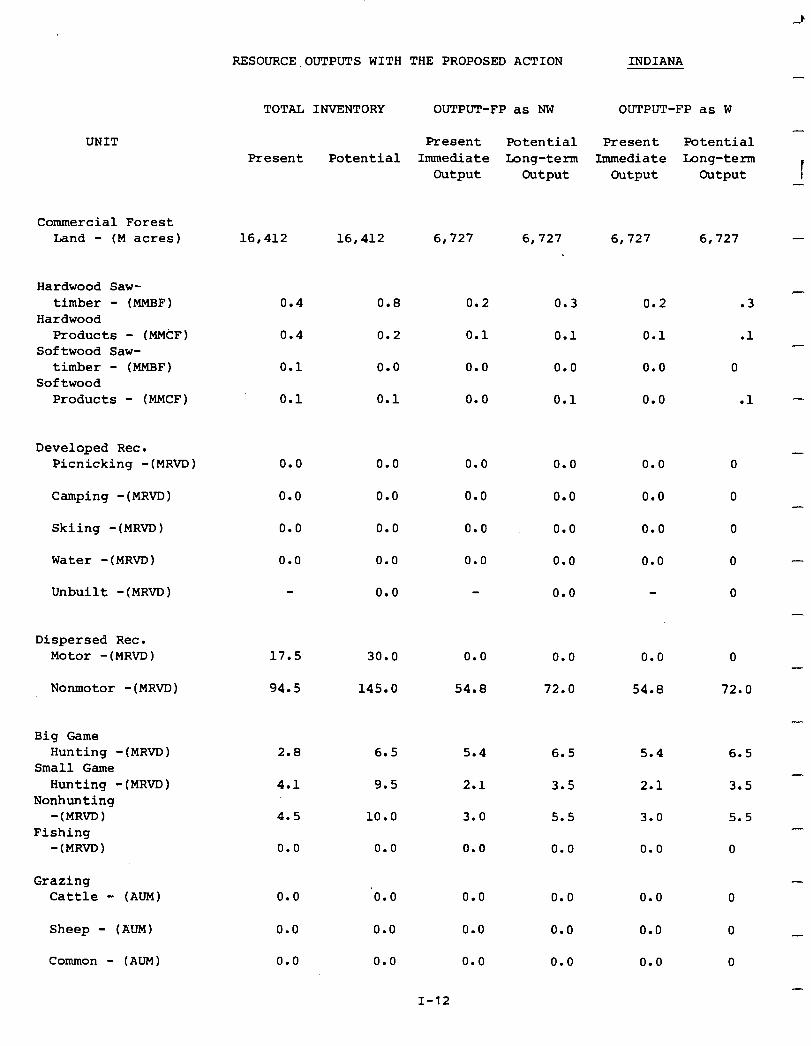
r -.
RESOURCE OUTPUTS WITH THE PROPOSED ACTION INDIANA -
TOTAL INVENTORY OUTPUT-FP as NW
Present Potential Present Potential Immediate Long-term
Output Output
OUTPUT-FP as W
- Present Potential
Immediate Long-term Output Output I -
UNIT
Commercial Forest Land - (M acres) 16,412 16,412 6,727 6,727 6,727 6,727 -
Hardwood Saw- timber - (MMBF)
Hardwood Products - (MMCF)
Softwood Saw- timber - (MMBF)
Softwood Products - (MMCF)
0.4
0.4
0.1
0.1
0.8
0.2
0.0
0.1
0.2
0.1
0.0
0.0
- 0.2 .3
0.1 .l
0.0 0
0.0 .l -
0.3
0.1
0.0
0.1
Developed Rec. Picnicking -(MRVD) 0.0 0.0
0.0 0.0
0.0 0.0
0.0 0.0
0.0
0.0 0.0
0.0 0.0
0.0 0.0
0.0 0.0
0.0
0.0
0.0
0.0
0.0
-
-
-
-
-
-
-
-
Camping -(MRVD)
Skiing -(MRVD)
Water -(MRVD)
Unbuilt -(MRVD)
Dispersed Rec. Motor -(MRVD) 17.5 30.0 0.0 0.0
94.5 145.0 54.8 72.0
0.0 0
54.8 72.0 Nonmotor -(MWD)
Big Game Hunting -(MRVD)
Small Game Hunting -(MRVD)
Nonhunting -(MRVD)
Fishing -(MRVD)
2.8 6.5 5.4
4.1 9.5 2.1
4.5 10.0 3.0
0.0 0.0 0.0
6.5
3.5
5.5
0.0
5.4
2.1
3.0
0.0
6.5
3.5
5.5
0
Grazing Cattle - (AUM) 0.0 ‘0.0
0.0 0.0
0.0 0.0
0.0
0.0
0.0
0.0
0.0
0.0
0.0
0.0
0.0
Sheep - (AUM)
Common - (AUM)
I-12

I RESOURCE OUTPUTS WITH THE PROPOSED ACTION MISSOURI
1 UNIT
I Commercial Forest
I Land - (M acres)‘
ardwood Saw- timber - (MMHF)
ardwood
I
Products - (MMCF) oftwood Saw-
timber - (MMHF) Softwood
I Products - (MMCF)
eveloped Rec. Picnicking -(MRVD)
I Camping -(MRVD)
Skiing -(MRVD)
I Water -(MRVD)
Unbuilt -(MRVD)
a ispersed Rec.
1
Motor -(MRVD)
Nonmotor -(MRVD)
I ig Game Hunting -(MRVD)
%
mall Game Hunting -(MRVD)
~onhunting
I
-(MRVD) ishing
-(MR~D)
c azing Cattle - (AUM)
1 Sheep - (AUM)'
Common - (AUM)
TOTAL INVENTORY OUTPUT-FP as NW OUTPUT-FP as W
Present Potential Present Potential Present Potential
Immediate Long-term Immediate Long-term i Output Output Output Output
63,640 63,640 33,227 33,227 16,077 16,077
0.6
0.0
2.4
0.3
1.3
0.1
0.6 .9
0.4
0.2
0.8 0.6
0.2 0.2
1.5
0.3
0.3
0.1
0.0
0.4
0.2
.l
.l
0.0
0.0
0.0
0.0
5.0 7.1 2.0 2.9 1.8 2.7
42.2 53.7 53.0 58.6 56.0 57.6
3.0 7.7 2.9 5.8 2.9 4.2
1.8
2.5
2.6 1.6 2.0 1.4 1.6
7.1 4.5 7.1 5.5 7.1
0.5 0.9 0.8 0.9 0.8 .9
1,164
0.0
4,760 1,077 3,960 3,960
0.0
0.0
0.0
0.0
0.0
0.0
0.0
1,077
0.0
0.0
0
0
5.0 0.0 5.0
58.1 0.0 44.8
0.0 0.0 0.0
4.0 0.0 0.0
67.1 49.8
I-13
0.0
0.0
0.0
0.0
.l
5.0
40.0
0
0
45.0
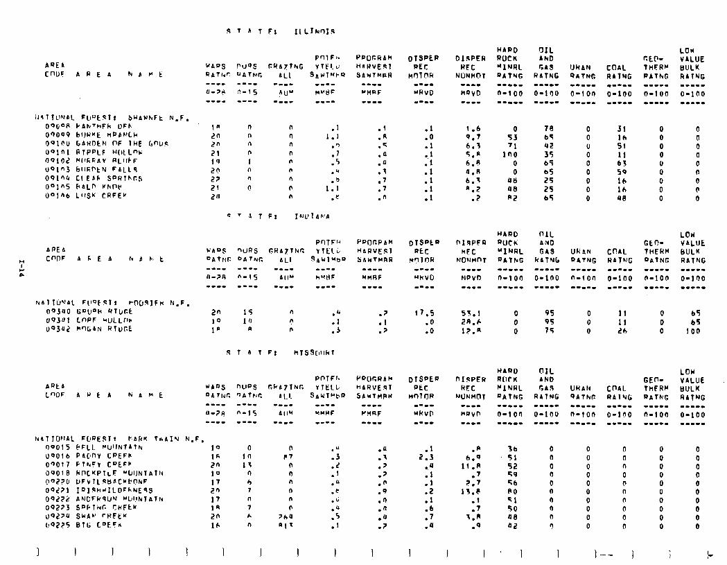
AQEA CflUF A P E A h A M E
UkAN QATNG
.1 1.1
:‘; .5 .Q .b
1.1 .t:
.l
.A
.c
.a .u .3 .7 .7 .n
1.6 Q.7 6.3 5.p 6.0
0.n 6.3 a.2
? .
0 70 53 65 '1 42
In0 35 0 65
0 b5
411 25 40 2s RZ 65
31 0 lh 0 St 0 11 0 63 0 50 0 16 0 lh 0 ue 0
AREA
7 CnDF A 6 E A Ir( b C: t
z
URAN PATNG -C-II
n-ion --w-w
2n 15 fl .a 10 10 n 1’ a n ::
HARD R(IC K "INRL RATNG --(L-m a-10n --mm-
nrsfw RFC
NUNMC)T ARtb LWF AUEP Nat't
NAT TWAl. FDQESI! FARK TfiAIY N-F, r)OOlS EFLI. ~CI’INTAlh( 10 U9Olb PAWY I;PEFlr. 16 OQO17 FlhrFV CQLFW 2n 00010 fi17crPT~F WiJk;I~Titi 10 nOZ?C DFVlLqBf'Cbbt?tuF 17 09271 19IqhdILOFf-NE9.S 2n OOZ?2 ANCFRSU’V ~l~l!tdTA~ti 17 09273 SDPTivC SHFtK 1s uO~JU SWAh’ rl?FEY 20
00275 01~; L"ECk 16
0 10 11
n h ? n 7 k n
n P7
n n n
n n n
JhU
al'
:;
:: .o .t .u
::: .I
.a
.I
.J
.7
.n
.9
.n
.n
.u
.?
fb 0 51 n
52 0 49 0 56 0 A0 n
-1 n SO 0 00 n
02 ?
0 0 n 0 n 0 0 0 n 0 n 0 n 0 n 0 0 0 n 0
1
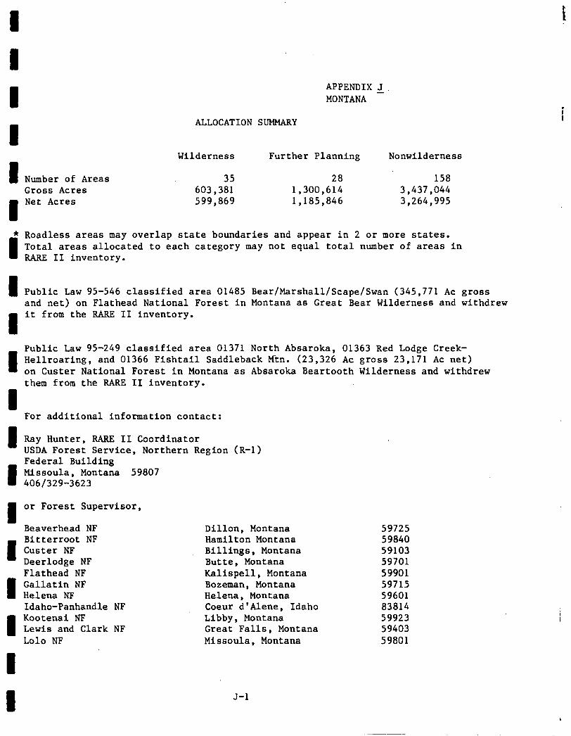
APPENDIX J MONTANA
ALLOCATION SUMMARY
Wilderness Further Planning Nonwilderness
I Number of Areas 35 28 158 Gross Acres 603,381 1,300,614 3,437,044
I
Net Acres 599,869 1,185,846 3,264,995
* Roadless areas may overlap state boundaries and appear in 2 or more states.
I Total areas allocated to each category may not equal total number of areas in RARE II inventory.
I Public Law 95-546 classified area 01485 Bear/Marshall/Scape/Swan (345,771 AC gross and net) on Flathead National Forest in Montana as Great Bear Wilderness and withdrew
1
it from the RARE II inventory.
u
Public Law 95-249 classified area 01371 North Absaroka, 01363 Red Lodge Creek- Hellroaring, and 01366 Fishtail Saddleback Mtn. (23,326 AC gross 23,171 AC net) on Custer National Forest in Montana as Absaroka Beartooth Wilderness and withdrew them from the RARE II Inventory.
I For additional information contact:
I Ray Hunter, RARE II Coordinator USDA Forest Service, Northern Region (R-l)
I
Federal Building Mlssoula, Montana 59807 4061329-3623
I or Forest Supervisor,
Beaverhead NF
I
Bitterroot NF Custer NF Deerlodge NF Flathead NF
I Gallatin NF Helena NF Idaho-Panhandle NF
1
Kootenai NF Lewis and Clark NF Lo10 NF
Dillon, Montana 59725 Hamilton Montana 59840 Billings, Montana 59103 Butte, Montana 59701 Kallspell, Montana 59901 Bozeman, Montana 59715 Helena, Montana 59601 Coeur d'Alene, Idaho 83814 Libby, Montana 59923 Great Falls, Montana 59403 Missoula, Montana 59801
I J-l
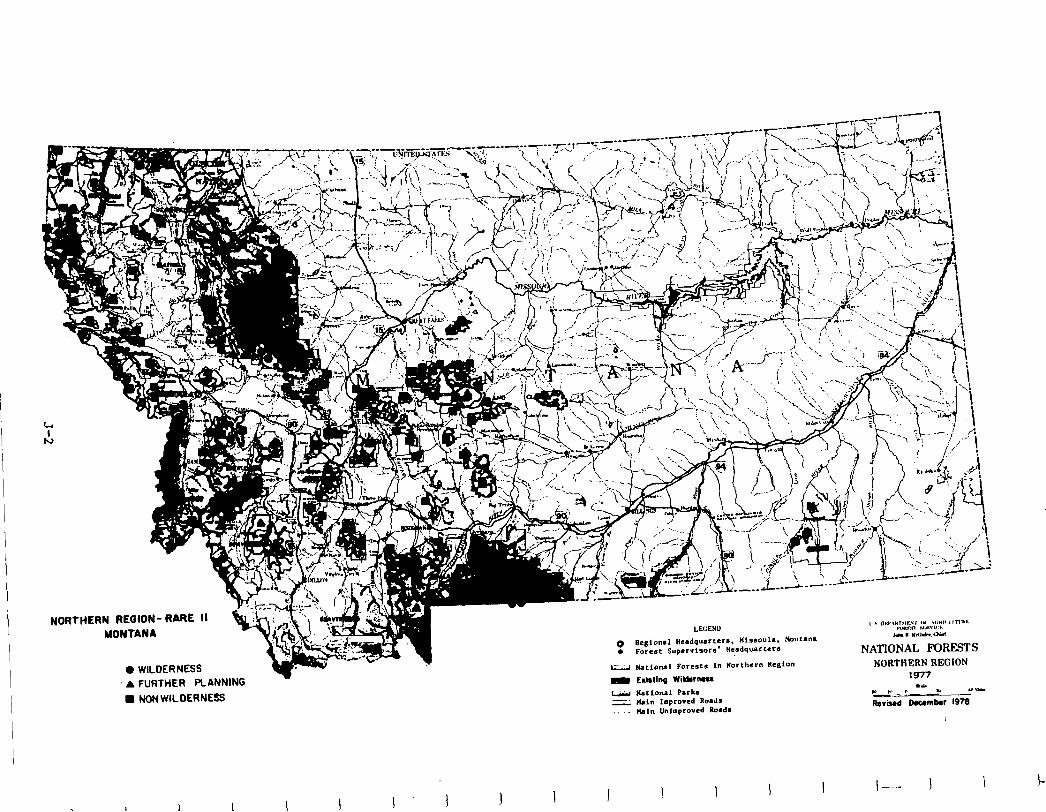
NORTHERN REGION- RaRE 11 MONTANA
0 WILDERNESS
A FURTHER PLANNING
l NON WILDERNESS
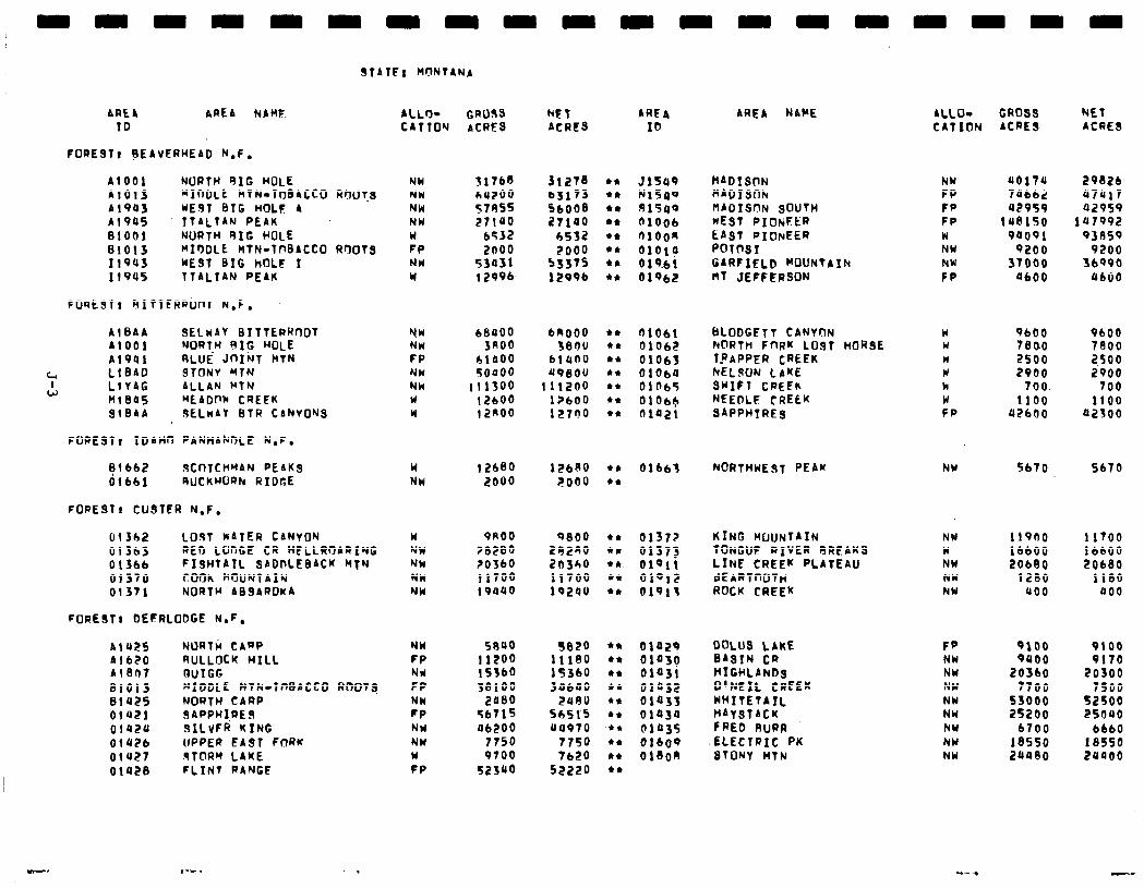
STATE: WNTANA
AREA AREA NAME. ALLO- (;I?033 NET AREA ID CATTON ACRES ACRES ID
FOREST@ ?EAVERHEAD N.F.
Al001 NORTH 91G HOLE NW 31768 Jr278 A1013 “IntILt MTN.TtYBACCO RflOTms NW bU200 b3173 Al903 WEST BIG HOLE A NW 57AS5 56008 Al 905 YTALTAN PEAK NW 27100 27100 01001 NORTH SIC HOLE w 6532 h532
.B1013 WI?DLE MTN.TbBACCO RflOTs FP 2000 2000 119~5 WEST BIG hOLE I NW 53031 5337s 1194s TTALIAN PEAK w I 2996 1299b
FOREST: RITTERRonT N.F.
AlBAA SELWAY BITTERRCIOT A1001 NORTH 9XG hOtE A1991 RLUE’ Jnjhr~ iiN
4 LlSAO STONY HTN I
W LlYAG ALLAN MTN n1ea5 MEADPk CREEK Sl0AA 3ECwAY BTR CANVOWS
NW bea bRoO0 NW 3noo 'Jeoo FP 01000 6lllOU NW soaoo A9SOU NW 111300 111200 W 12600 I?600 W 12noo 12700
FOREST) IDAHn PANHAknLE N.F.
Flb62 9COfCHMAN PEAKS 01661 RuCKHuRN RIDGE
FORESTI CUSTER N.F.
w NW
I2680 2000
126AO 2000
013h2 LOST WATER CANYON 01363 RED LCJnCE CR HELLROARING 01366 FISHTAIL SADPLEBACK MTN 01370 coon ~IYUNTAIN 01371 NORTH ABSAROKA
FORESTI DEERLODGE N.F.
w NW NW NW NW
PRO0 0800 ?82SO 29280 20360 20340 1170o 11700 19840 19240
Al U2S NURTti CAnP NW SR40 Al 620 9ULLflCK WILL FP I1200 Al807 BUIGG Nd 15360 81013 MIDDLE HTR-TnBACCCl RtTOTs FP 58100 01425 NORTH CARP NW Zll80 OlS21 SAPPHI,RES FP 56715 01420 SlLvFR RING NH a6200 0142b UPPER EAST FnRK NY 7750 01427 STORM LAKE W 9700 01028 FLINT RANGE FP 52340
3820 111eo liJ60 34640
2OAU Sb51‘5 u4970
7750 7620
52220
AREA NAHE ALLO- GROSS NET CAT ION ACRES ACRES
51549 HADIS~TN NlSll9 fiAO1SOh SI549 M~OIS~N SOUTH 01006 WEST PIOtiFER r)1oon LAST PIONEER alalo POT(rST 019.61 GARFIELD WOUNTAIh 01962 hT JEFFERSON
E FP FP W NW NW CP
uo17u 29626 70662 07017 u2959 92959
148150 1117992 90091 93AS9
9200 9200 37000 36990
0600 U600
EILODGETT CANYON FtnRTh FnRK LUST TRAPPER CREEK NELSON LIKE SHIFT CREEK NEEDLE CREEK SAPPHIRES
fi1061 01062
W W II w k w FP
9600 9600 7eoo 7SOO 2500 2,500 2900 2900
700. 700 1100 1100
U2600 a2300
HCIRSE 01063 blOa4 01065 01oc+ oiazi
01661 NORTHWEST PEAK NY 5670 5670 l * *a
01372 KING HUuNTATN NW 11900 11700 01373 TONGUE aIvER RREAKS w 16600 16600 01911 LINE CREEK PLATEAU NW 206ElO 20680 01912 dEARTnOTh NU 1200 1180 01919 ROCK CREEK NW uoo 000
01029 DOLUS LAKE F” 9100 9100 0103g BASIN CR NW 9000 9170 01031 HIGHLANDS NW 20360 20300 01032 O’NEIL CREEK NW 7700 7500 01033 whITETAIL NW 53000 52SOO 01430 hAYSTACK NW 25200 25oUO Fl435 fREb RURR NY 6700 6660 01609 ELECTRIC PK NW 18550 18550 018oR STONY HTN NW 24480 20~00
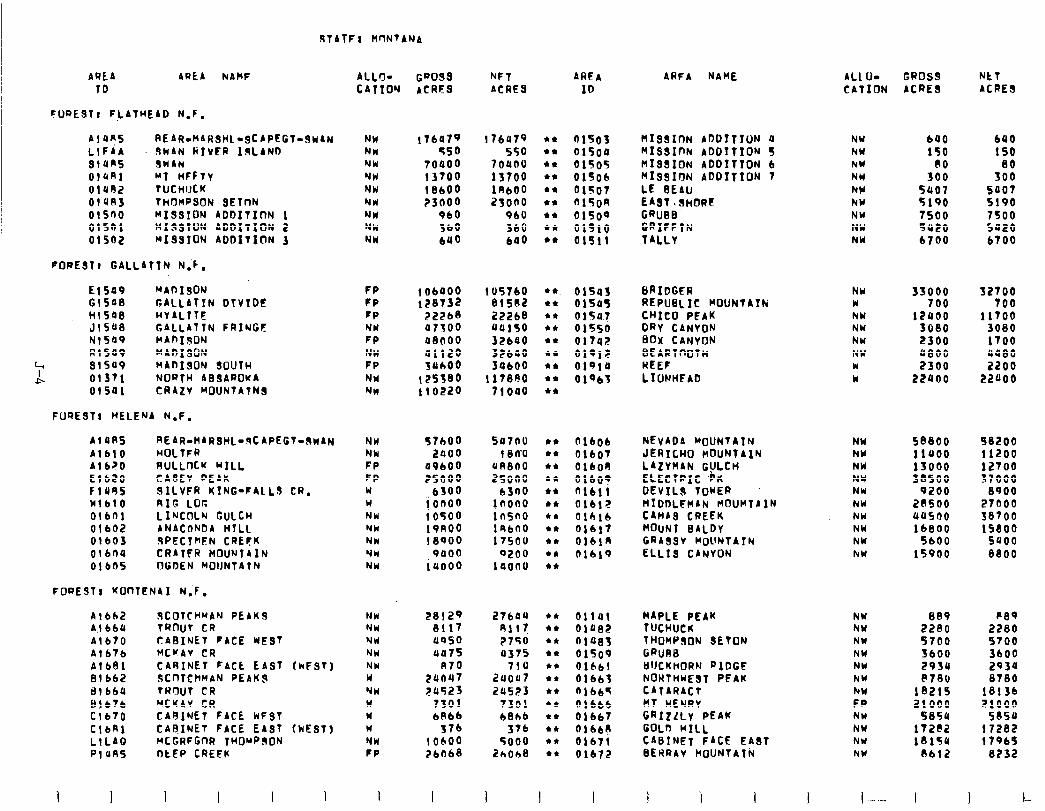
STATF: WINTANA
AREA TO
AREA hAWF ALL+ G~O3s NFT ARFA CATTOM ACRES ACRES ID
FuQESTt FLATHEAD N.F.
A! UR5 REAR.MAR3HL~gCAPEGt~3~AN LlFiA SWAN RIVFR IgLAND 3t4ns SWAN OlUAl ~1 WFFTV 01492 TUCHIJCK OlUA3 THOMPSON SElnN Ol500 M133ION ADbITInN 1 01501 MI33lON ADDITION 2 01502 MI3SION ADDITION )
FORESTl GALLATTN N.C.
NW 17ba79 176419 l * 01503 nI33xoN ADDITION a NW NW 550 550 l * oisoa MISSInN ADDITION S NW NW 70000 7oaoo l * 01505 HIS3ION ADOITlON b NW w 13700 13700 l * 01506 MI33ION ADDITION 7 NW NW 18600 18600 l * 01507 LE BEAU NY Nld P3bOO 23ono l * 015OR EAsT.sHORC hW Nld 960 9bU l * 01500 GRuBB. NW NW 360 360 l * 01510 GRIFFTN NW NH 690 600 l * 01511 TALLv NW
E15a9 MADIgON c15ae GALLATIN DtVTOC tit508 HVALTTE J1548 GALLATTN FRINGF N1549 WADIsON RI509 MADI30N
4 91549 4!-
MAnI3ON SOUTH 01371 NOQTH AB3AROKA 01541 CRAZv MOUNTAtN3
FP FP FP NU FP NW FP NI NW
FUQE3Tl HELENA N.F.
Af4A5 REAR-HARSHLO~CAPEGT-3nAN A1610 HOLTFR A1620 RULLnCK HILL El620 CJASEV PEAK f 1495 JILVFR KING-FALLS CR. 11blO RIG LOr, 01601 LINCOLN GULCH 01602 ANACfJNDA HYLL Olb03 3PECTWN CREEK 01 bna CRATCR MOUNTAIN 01605 OGDEN MOUNTAIN
FOQEST I KOnTf!NA I N;F.
NW NW FP FP W W NW NW NW NW NW
A1662 ISCOTCHMAN PEAKS NW A,! 664 TROUT CR NJW A1670 CABINET FACE ME3T NW Al676 HCUAV CR NW
Al681 CARINET FACL EAST (kFST) NW 81662 SCnTCHMAN PEAKS W ill 664 TRWT CR NW 81676 MCKAV CR W Cl 670 CARINET FACE kF3T W ClbRl CAFINET FACE EA3T (NEST) W LlLAQ MCGRFGnR THOuPdON NW PI485 OtEP CREFK FP
1 I I I I I !
t 06400 128732
72268 atso a8000
% 125580 110220
105760 l *
815O2 l e
22268 l *
uai50 l * 3ZbBO l * 32bao l * 34600 l *
117890 l * tioao l *
57600 5a7au l * 2000 180’0 I*
09600 UR800 l a
25000 25000 l *
6300 6300 l *
i 0000 iosoo
jnono l * ln5no l *
19noo 19bno l * 18QOO 17500 l I
9000 PZOO +I 14000 la000 l *
2:1:: uoso 4a75
R70 zuo47 24523
7301 6866
376 10600 26068
27604 l * 01141 HAPLE PEAK NY 889 P8q 411! l * 01482 TUCHUCK NW PZPO 2280 I750 l * 01083 THOHP30N SETON NW 5700 5700 a375 l * 01509 GRUBS NW 3600 3600
710 l * 61661 BUCKWORN QIDGE NW 2930 2930 2uoo7 l * 01663 NORTHWEST PEAK NW f’780 8780 211523 l * “lb65 CATARACT hW 18215 18136
7301 +* 01666 MT HENRY FP 21000 21000 6816 *I 01667 GRIzLLY PEAK NW 5854 5054
376 I* Olbbe GOLO HILL NW 172@2 17282 5000 l * 01671 CABINET FACE EA3T NW 18154 17965
26008 l t 01672 BERRAV C~OUNTAT~ NY 8612 8232
I I
ARFA NAME ALl. O- GPOSS NET CATION ACRE3 ACRE3
640 150
3:: 5407 5190 7500 5420 6700
690 150
80 500
5407 5190 7500 5a20 6700
01543 6RIDGER NW 33000 32700 015u5 REPUBLIC MOUNTAIN w 700 700 01507 CHICO PEAK NW 12400 11700 01550 DRv CANVON NW 3080 3080 0174> BOX CANYON NW 2300 1700 019lF BEARTnOTH NW a800 UU80 01918 UEEF w 2300 2200 01463 LIUNHPAD w 22400 22000
NEVADA MOUNTATN JERICHO MOUNTAIN LAZVHAN G!JLcH ELECTRIC ,h DEvIL3 TOWER
01606 01607 OlboR Olbo9 nlbll 01612 Olblb 01617 OlblR 01619
NW NW NW NW NW NW NW NW NW NW
58800 98200 11400 11200 13000 12700 38500 37000
9200 8900 HID&HAN HOUHTAIN CAMAS CREEK MOUNT BALDY GRA3sV MOUNTAIN ELLIS CANYON
20500 27000 445no 38700 16800 1saoo
5600 5400 15900 8800
I
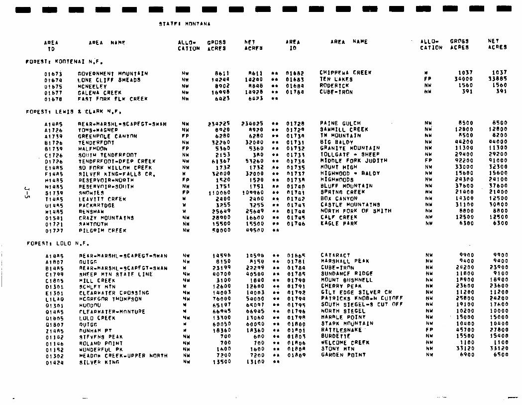
nnnnnnnnnnnnnn
STATFI MONTANA
AREA AREA NANF ALLO- GPO3s hEJ AREA ID CATION ACRES ACRCU ID
FORESTr KOOTENAI N;F,
Olb7j GOVERNMENT MUNTAIN NW 8611. AIll Olb74 LONE CLIFF SMEADS NH I4244 iazao 01675 MCNEELFY NW 8902 R84S Olbll GALENA CREEK NW lb998 la928 01678 FAIPT FORK FLK CREEK NM .6423 bU?3
Olb82 CRIPPFwA CREEK 01683 TEN LAKtS Olb8a RODERICK 0178a CUBE-IRON
FOPEJT, LEWIS Ic XLARK N.F.
Al4K5 hl?2b Al 739 01726 01739 Cl?26 Dl??b El4K5 Fl4K5 Ml UR5
4 Nl495 cln 31739
Tl4K5 lJl4S5 Wl4RS 01501 Ol??l 0!7?7
REAR-HARSHL-SCAPFGT-3hAN NW TO’f3-WAGNER NW GREEhPnLE CAhVnN FP TENDERFOnT NH HALFRUOh FP SOIJTU TENDFRFOflT NW TENDFRFOOT-DFEP CRELK NW 30 FORK KILLnh CREFK NW SILvFR KING-FALLS CR. W RESEPVOIR-NORTH FP PESERVnIR-QOltfW NW sNnwJE3 FP LEAVTTT CRFEK W PACKhRlDGE W RENSHAY W CRAZV MOUNTATN3 NW 3AwTnUTH NW PILGRIM tRFEw NW
FOREdTr LOLO N.F.
AlUn5 REAR.MARSHL-SCAPEGT-3wAN NW I 4596 1 as06 Al 807 OUIGC NW 8150 Rl5U 01UR5 REAR-kAR3HLw3tAPFGT-SWAN W 23199 22299 Cl 799 SHEEP MTN 3TATF LINE Yn a0700 40500 Cl805 “ILL CREEK NW 3100 1840 Dl301. QCHLFV nTN W I2600 12600 El301 CLEARWATER CPOJSING NW I4003 iaon3 LtLAQ MCGRFGnR IhUrPSDN NW 76000 54000 Qt3ni HUUDW W h5197 65097 QlUfiS CLEARWATER-MnNTURE W 66945 bb9US 01 bn5 LULO CREEK VW I3700 13060 01807 ovIGG Y 60050 60050 z14n5 DUNHAM PT u I8360 lK360 01142 3TFvFH3 PEAK NW 100 600 OliUb ROLAND PnINT NY 100 700 01152 WWDERFUL FK NW 1600 lb00 01302 MEADIM CREFK-UPPER hJORTH NW 7200 72no 01424 JILVCR KINI: NI( 13500 13100
234225 8020 6280
'g:: 2153
61367 1732
32000 1520 1751
I10060 2000 3255
25649 28000 15500 50000
234025 n920 6260
32000 5360
3RO 53260
1132 32000
1520 1751
109960 24no 3255
25bO9 1 bb00 15500 49500
l *
44
l *
l *
et
t*
et
.* l
l *
l *
et
44
l *
4*
l *
l *
l *
l *
01728 PAINE GULCH NW 8500 8500 01729 SAWMILL CREEK NW’ 12800 12800 01730 Tw f?OUNTAIN hW 8500 8200 01731 BIG BALDV NW 44200 a4000 01732 GRANITE MOUNTAIN NW 11300 11300 01133 TOLLGATE - QHEEP NY 29400 20200 01734 kIDDLE FORK JUDITH FP 92200 91000 01735 HOUNT HIGH NW 33000 32300 01737 HIGHWOOD - BALOV NW 15600 15600 0173n HIGHrrfIOD3 NW 20300 24100 017ap BLUFF HCluNTAIN NW 37600 37600 ~llai SFRTNG CREEK NW 21400 21000 01702 BOX CiNVON hW ia300 12500 01747 CASTLE MOUNTAINS NW 31lno 30800 oi7ua NORTH PORK OF SMITH hW 8800 8800 OlTU5 CALF CREEK NW 12500 12500 01706 EAGLE PARK hY 6300 6300
OlbtiT CATARACT NW 9960 9900 01781 HARsHALL PEAK NW 9ubo 9400 01780 CUBE-IRnN NW 24200 23900 01785 SUNDANCF RIDGt NW 11800 9100 01790 MOUNT SIISHNELL hW l@VOO 18900 01791 CHERRV PEAK NH 23600 23600 nit92 GILT EDGE SILVER CR NW 11200 11200 01790 PATRICK3 KNOB-N CuTnFF NW 25800 24200 01795 SOUTH SIEGEL-3 CUT OFF NW 19100 17hOO Ol79b NORTH SIEGEL NW 10200 10000 01790 MARRLE POINT NW 15000 15000 018og STAPK MfhjNTAIN NW 10400 10400 Ol?Ol RATTLE.gNAKE FP 45700 27800 01305 BURDETTE NW 15500 15400 01306 WELCOWE cREFK NW 1100 1100 ni8on STONV HTN hW 33120 33120 01309 GARDEN POINT NW 6900 6500
AREA NAME
nnnn
ALL’J- CRC’83 NET CATION ACRE8 ACRE3
FWP NW NW
1037 1037 30000 33885
1560 1560 391 301
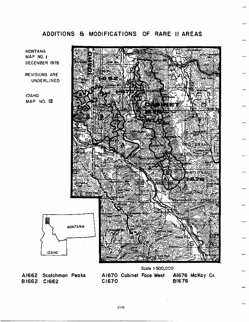
ADDITIONS 8 MODIFICATIONS OF RARE II AREAS
MONTANA MAP NO. I DECEMBER 1978
REVISIONS ARE UNDERLINED
IDAHO MAP NO. 12
1 IDAHO
A 1662 Scotchman Peaks 6 1662 C 1662
Scale 1:500,000
A1670 Cabinet Face West Al676 McKay Cr. Cl670 81676
-
-
-
-
-
J-6
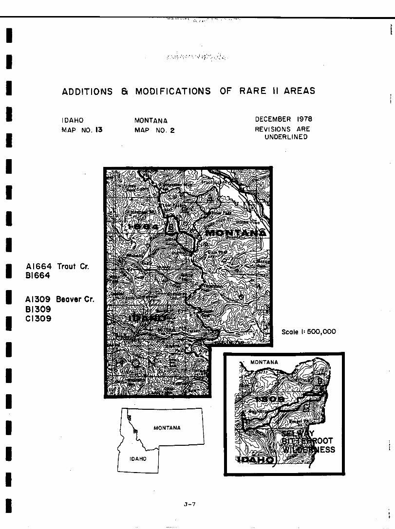
Al664 61664
Al309 81309 Cl309
ADDITIONS & MODIFICATIONS OF RARE II AREAS
IDAHO MONTANA MAP NO. 13 MAP NO. 2
DECEMBER 1978 REVISIONS ARE
UNDERLINED
Trout Cr.
Beaver Cr.
J-7
Scale I: 500,000
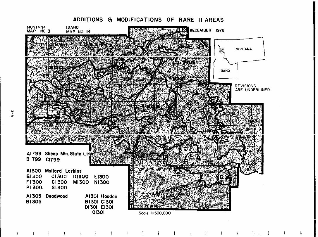
ADDITIONS 8 MODIFICATIONS OF RARE II AREAS MONTANA MAP NO. 3
IDAHO MAP NO. 14
:D
4-1 Al799 Sheep Mtn.State Li li4li ‘, B I799 Cl799
Al 300 Mallard Larkins 81300 Cl300 01300 El300 Fl300 61300 Ml300 N1300 P I 300. Sl300
Al 305 Deadwood Al301 Hoodoo
1 I 1 I I I I I I 1 I I I I I I.- I
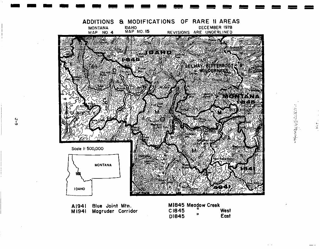
ADDITIONS 8 MODIFICATIONS OF RARE II AREAS MONTANA IDAHO DECEMBER 1978
Al941 Blue Joint Mtn. M 1941 Magruder Corridor
Ml845 Meac/ow Creek C 1845 West 01845 ” East
- .-
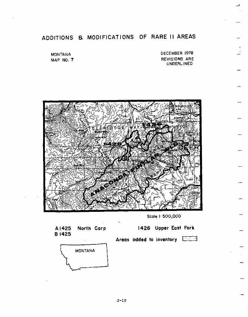
ADDITIONS 8 MODIFICATIONS OF RARE I I AREAS
MONTANA MAP NO. 7
DECEMBER 1978 REVISIONS ARE
UNDERLINED
Scale I: 500,000
Al425 North Carp 1426 Upper East Fork B 1425
Areas added to inventory m
MONTANA
-
-
-
-
-
-
-
-
-
J-10
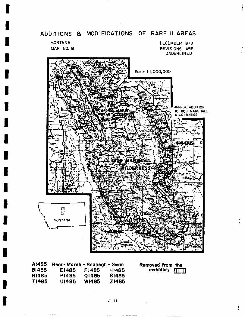
ADDITIONS 8 MODIFICATIONS OF RARE I I AREAS MONTANA MAP NO. 8
DECEMBER 1978 REVISIONS ARE
UNDERLINED
Al485 Bear- MarshI.- Scapegt. - Swan Removed from the 81485 El485 F1485 HI485 inventory pFRq Nl485 PI485 41485 S 1485 Tl485 Ul485 WI485 Z 1485
J-11
i
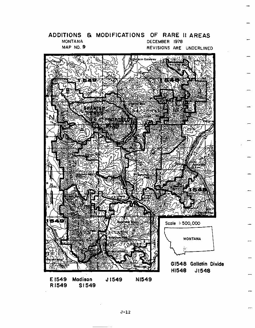
ADDITIONS 61 MODIFICATIONS OF RARE II AREAS MONTANA DECEMBER 1978 MAP NO. 9 REVISIONS ARE UNDERLINED
ide
-
-
-
-
-
-
-
-
E 1549, Madison J 1549 Nl549 R 1549 Sl549
J-12
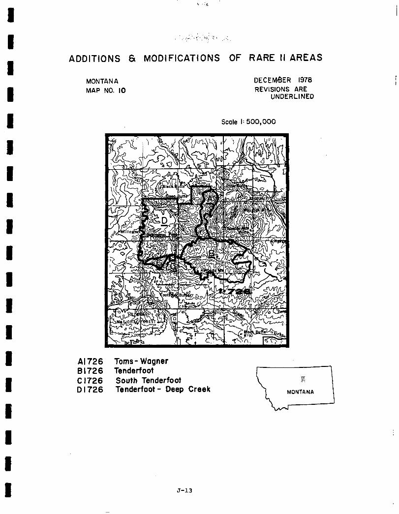
‘, : ,.,/A : “i,. :I I ,: ,’ -
ADDITIONS 61 MODIFICATIONS OF RARE II AREAS
MONTANA MAP NO. IO
DECENteER 1978 REVISIONS ARE
UNDERLINED
Scale I: 500,000
A B C D
726 Toms- Wagner 726 Tenderfoot 726 South Tenderfoot 726 Tenderfoot - Deep Creek
J-13

-i
-
ADDI TIONS & MODI
MONTANA MAP NO. 11
FICATIONS OF RARE-II AREAS
DECEMBER 1978 REVISIONS ARE UNDERLINED
Scale I: 500,000
A 1739 Greenpole Canyon 8 1739 Halfmoon
S 1739 Snowies
-
-
-
-
J-14
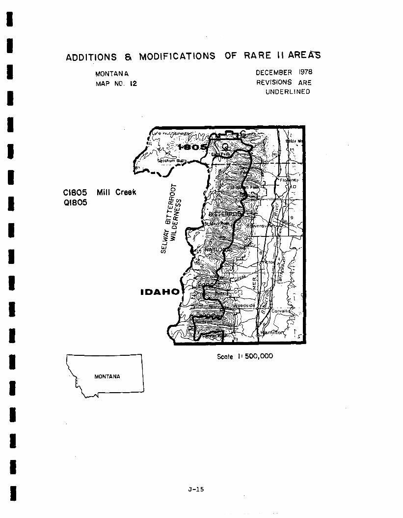
ADDITIONS 6r MODIFICATIONS OF RARE II AREAs
MONTANA MAP NC. 12
DECEMBER 1978 REVISIONS ARE
UNDERLINED
Cl805 41805
Mill Cree
Scale I: 500,000
J-15
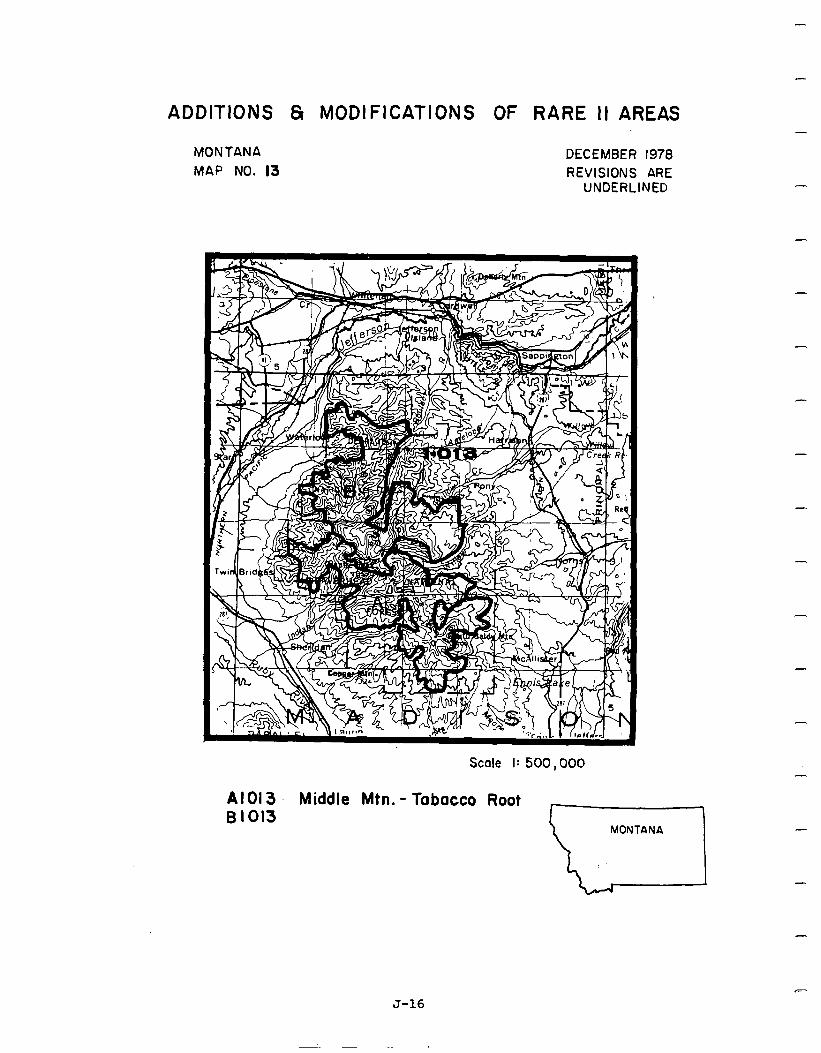
-
ADDITIONS 8 MODIFICATIONS OF RARE II AREAS
MONTANA MAP NO. I3
DECEMBER 1978 REVISIONS ARE
UNDERLINED
Scale I: 500,000
Al01 3 Middle Mtn. - Tabacco Root 81013
-
-
-
-
-
-
-
-
-
-
-
-
J-16
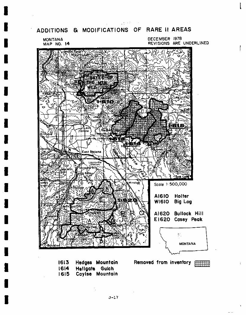
I
’ ADDlTldNS 61 MODIFICATIONS OF RARE II AREAS
MONTANA DECEMBER 1978 MAP NO. 14 REVISIONS ARE UNDERLINED
dill lak
1613 Hedges Mountain 1614 Hdlgat8 Gulch I615 Caylse Mountain
Removed from inventory m
J-17
-
Social. Upon implementation of the proposed action, the primary social impacts that do occur will affect those people living adjacent to areasdesignated wilderness or further planning. Additionalsocialeffectswill beexperienced by people throughout the State, but they will be slight. Because areas'are so widely dispersed, slight effects on population andchanges in employment should be overcome within five years.
Areas where some social effects are expected are in the Judith Basin-Lewistown area, around Dillon, and along the Madison and Gallatin Mountain Ranges with principle effects in upperYellowstone RiverValley and UpperGallatin Valley. Timber processing could suffer some effect on employment in the Judith Basin area. Around Dillon, mineral exploration will be restricted in the Pioneer Mountains until methods of exploration are developed that are compatible with wilderness. Study areas in the Pioneer Mountains are not expectedtocreate any immediate changeonmineralexploration in that area.
Classification of Tongue River Breaks near Sirney, Montana, will have an effect on some grazing permittees unless reduction of grazing can be accommodated somewhere else on the National Forest nearby. If these changes cannot be accommodated, then some ranches mayhaveto adjust their operations. There is considerable local concern about control of wildfires. Pestrictionsplaced on fire controlbecauseof wilderness classification are a threat to local people whose way of life is in jeopardy unless fires are caught and controlled early. Because of ease of access to the area, there will be a law enforcement problem over the next few years to prevent motorized vehicle trespass. Local people feel their desires carry little weight with decision- makers. Classification of Tongue River Breaks will serve to further intensify a sense of loss of local control on the part of local residents.
A
-
-
-
-
- For the most part, throughout the state, with the areas being classified as non- wilderness, the orderly change of National Forest resource-related communities in the State will continue. Future trends are generally expected to remain the same. In thosecommunitieswherea fewresourcerelated jobsmaybeaffected,women,minorities, - and younger workers will be the first affected. Since they are often the last hired,haveleast seniority and experience, they wouldbemost affectedfromwilderness associatedeconomic impacts. No other civil rights or minority effects are expected. -
Cultural resource inventories and evaluations that comply with E.O. 11593 and the National HistoricPreservation Act of 1966havenotbeenaccomplished inareasdesignated forwilderness classification. Further debate-over wilderness classification will most likely concentrate on whether or not morenonwildernessareas should beallocated to wilderness than presented in this proposal.
Economic. A slrmmary of economic impacts for the proposed action is presented in the following table. These are the national impacts and may or may not occur in Montana. All state impacts are allocated from the national totals and are based upon state resource changes. They are Montana's contribution to the national impact. For a complete description on how the impacts were calculated see Appendix W.
The table shows a positive potential immediate impact in each sector. This indicates that the areas allocated to nonwilderness have sufficient deferred timber and other wood products to offset the negative impact of areas allocated to wilderness. The deferred timberisadded tothe allowable cutifan area is allocated to nonwilderness. The potential long-term impact is positive in all sectors.
-
-
-
J-18
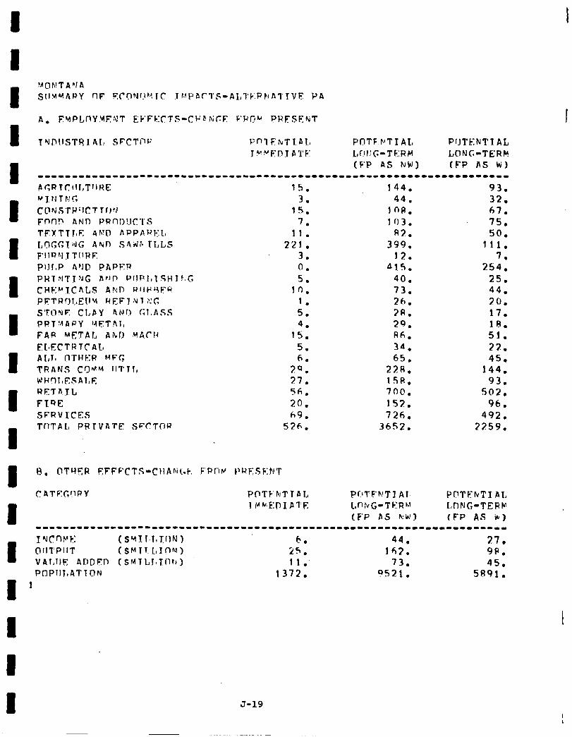
144. 93. 44. 32.
108. 67. 103. 75.
R3. 50. 399. 111.
12. 7. 41s. 254.
40. 25. 73. 44. 26. 20. ?R. 17. 29. 18. Ah. 51. 34. 22. 65. 45.
228. 144. 1SR. 93. 700. 502. 153. 96. 726. 492.
36S2. 3259.
PrlTFWT J Al- L n ttl G - T I-Y R M (F’P AS kb~,)
J-19
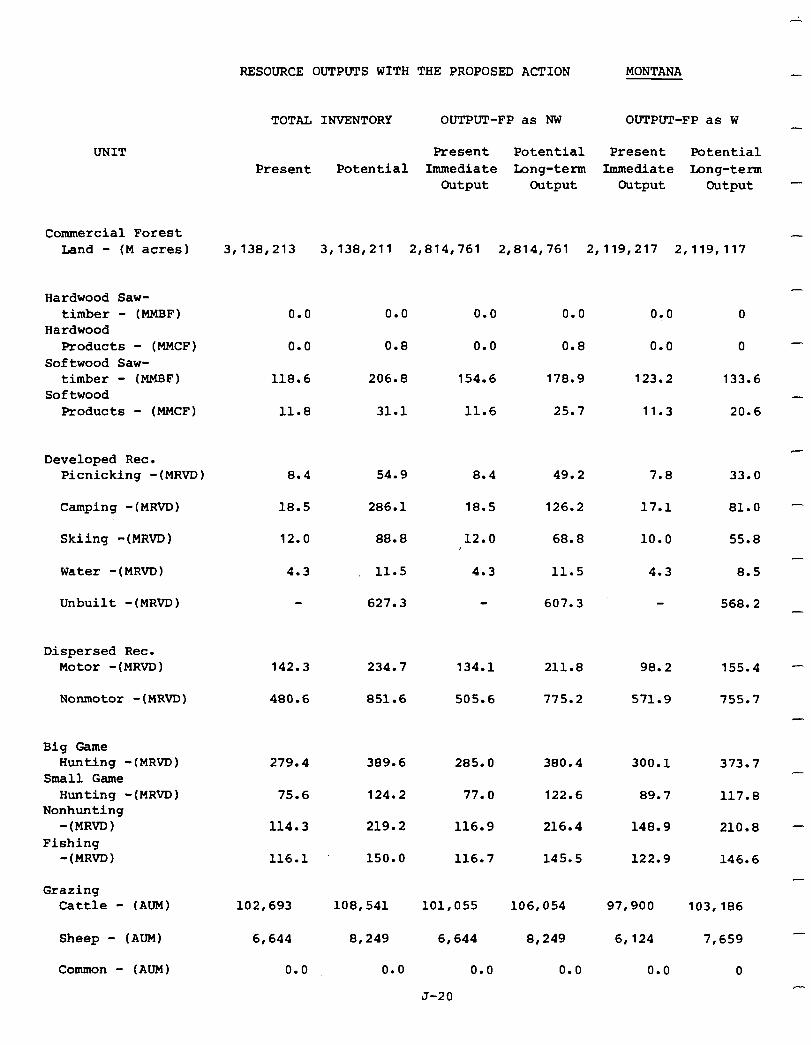
RESOURCE OUTPUTS WITH THE PROPOSED ACTION MONTANA
UNIT
Commercial Forest Land - (M acres) 3,138,213 3,138,211 2,814,761 2,814,761 2,119,217 2,119,117
Hardwood Saw- timber - (MMBF)
Hardwood Products - (MMCF)
Softwood Saw- timber - (MMBF)
Softwood Products - (MMCF)
0.0 0.0 0.0 0.0 0.0 0
0.0 0.8 0.0 0.8 0.0 0
118.6 206.8 154.6 178.9 123.2 133.6
11.8 31.1 11.6 25.7 11.3 20.6
Developed Rec. Picnicking -(MRVD) 8.4 54.9 8.4 49.2 7.8 33.0
Camping -(MRVD) 18.5 286.1 126.2 17.1 81.0
Skiing -(MRVD) 12.0 88.8
18.5
12.0 68.8 10.0 55.8
Water -(MRVD) 4.3 11.5 4.3 11.5 4.3 8.5
Unbuilt -(MRVD) 627.3 607.3 568.2
Dispersed Rec. Motor -(MRVD) 142.3 234.7 134.1 211.8 98.2
Nonmotor -(MRVD) 480.6 851.6 505.6 775.2 571.9
155.4
755.7
Big Game Hunting -(MRVD)
Small Game Hunting -(MRVD)
Nonhunting -(MRVD)
Fishing -(MRVD)
279.4 389.6 285.0 380.4 300.1 373.7
75.6 124.2 77.0
116.9
122.6 117.8
114.3 219.2
150.0
108,541
8,249
0.0
216.4
145.5
89.7
148.9 210.8
116.1 116.7 122.9 146.6
Grazing Cattle - (AUM) 102,693 101,055
6,644
0.0
106,054 97,900
Sheep - (AUM) 6,644
Common - (AUM) 0.0
8,249
0.0
6,124
0.0
103,186
7,659
0
TOTAL INVENTORY OUTPUT-FP as NW OUTPUT-FP as W
Present Potential Present Potential Present Potential Immediate Long-term Immediate Long-term
Output Output Output Output -
J-20
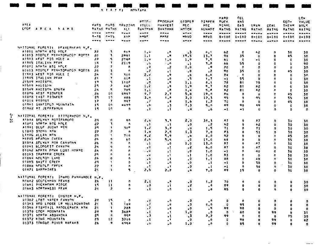
A”EA
PnlFI; WAPS r\UQS CRAZlNr: Y lkl-L
‘i~llfJNAL FUfJE91! FFAVEPhFAr) N.F. Al001 NllRTH STG HflLF 2? A!013 NlDnLF WN-TWAfc~ ROnTP 2c 41903 cFST PIG HOlE A 22 A1905 ITAllAh PFAK IR PlOOl kfWTH EilG hnLE 27 61013 hIDnLF HTN-TORACC? ptlO1.9 26 119113 rEsT QIC HLilk I 26 119~5 ItAl 14N PFAK 21 J1509 HADTS~N. 10 +415u9 hADlSflN 23 SlSU9 MAEIS~N SWTH 2h OlOfib WEST OIONFCR 26 oione t AST OIONFED 23 0’014 PnfnsT 12 019hl GILFIFLD WllkTAlN 15 0196i! MT JEFtFRslrY 15
tj AlbAA P
SFLUAV RITTFkRDnT AtOnI NflPTH BtG hnLE Al9Ul BLIJF JOINT MTN Llt)AD STONY MTN LlYAG ACLAN MTN Ml@115 rtFAn(~w CRSEK SIBSA SFLWAY RIR CANYnNq 01Ohl bLOnGFTT CANYnN OlOh2 h0RTh FWK LOST mH?E 01063 TRAOPFH CRCFK OlObrr NFLqOhI LAKE 01065 SulFT CPEFC 01066 NFtl’LF rPFtK DlQ?l SAPWIRES
21) L? 25 22 20 26 26 26 LA 25 26 21 22 21
NATTUNAL FOPE%l; IlrAW PAkHANDlE N,F. Hlbt.2 SCOTCHMAN PEAKS 26 olbhl PllCKHnRN PIPGF 15 olbh3 NtWTHUESt PFAK 21 ?
NtITlUNAl FUcE97: CllSTEQ M.F, 01362 LOST WATEQ fANYnN 21! 15 013h3 RFD LWGE LP HELLPOARINfi 21 3 01366 Fl!jHTAll 9ADbLEaACK MTN 21 1 01370 CnOu MOUNTAIN 2a 9 Of371 NWTH ASSANiaKA 2q a
01372 Klkl: ~OlJNfAlk 21 12 01373 TnKGuS QIVtQ RRFAwS 26 9
OlP 2091 279* 2119
R n
tto OlA
1lOP UU? 7n5
UR97
fit36 097
UU79 ll
on n
Inc n
il0 60
0 n n n n 0
4
n 0 n
0 irru ?I38
3bAn ?SP
3110 4-50
SAUTU&R
mm--
1 ’ 1:; 1.9
. ‘J
.4
.2 2.r
.I
.n I.2 1.1 4.7 3.u
.l
::
2.6
1:: I.0 u.2 2.6
.l
.U
. u
.I,
:Y .1
2.5
a;1 .J .l
:‘I .7 .I .3 .I .b
.I
.a 1.0
:; .i .Q .n .q .q .p
2.7 1 .p
.a
.z
.I
1.: .I
3.2 ?.5 5.9 5.5
.o
.!
.1
.I
.l
.n
2::
P :i .(I
.n
.u
.a 1 . 1 9.
.!
.O
.3 (9.5
1.9
1:: .o 0.6 .S
1.1 1.9
:*:: 3:o 1.6 7.3
.u
a.1 bi? 13.7 90
7.9 61 f.P 66
.Q 70
.2 90
6.h nu
1.7 -1 a.1 78 5.7 82 5.n R2
lo.0 Pb 12.3 05
1.2 70
5.n A9 .6 -1
2;o .O
1:; .b -.O
1.0 .2 .O .l .O a.0 .o .a
:t .l
.o ,O .o
1.0 .3 .O
1.0’
34.5 .2
1.5 7.0
1::: 13.0
6.0 1.0 1.0 I.1
.I
.I 7.0
1.2 .a .a
.n 4.0
.q
.o ?.2
.O ff .
3;
s: 0
35 fl
55 81 01 81
n 0 0
90 -1
41 62 71 p3 92 IU Rl 07 -1 R3 oa -1 -1 A9
70 89 AS
0 0
99
0 99
0 0
0 0 n 0 0 n n 0 n 0 0 0
1:
n 0 0
0 9s 98 80
0 90 es
62 0
-1 0 0 0 0 0
10 P2 92
II 95
0 R9
0
n 0 0 0 l-l 0 0 0 n n n @ n 0 0 n
RI 62 71 51
0 0
R7 07 a0
0 oe 30 30
0
0 0 0 0 n 9 n 0 0 0 n 0 n 0
0 0 0
0 0 0 0 0 0 0
0 0 n
0 0 0
99
9: 99
30 45
0 0 0
US 0 0 0 0 0
u5 55 as
0 0
zi 30 30 05 55 50 30 30 30 30 SO 30 30
0 0 0
0 0 0
7: 0 0
30
3: 90 30 30 30 30
38 30 30 JO 30 30
0
30 30 30 30 30 30 30 30 30 30 30 30 30 30
30 30 30
0 0 0
3: 42
0
-I -
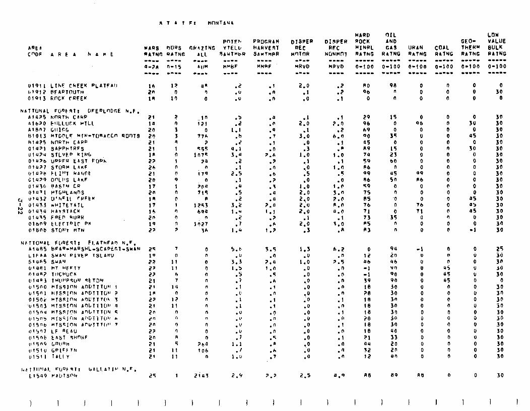
AREA
gTATF$ MflrJfAN4
PnTsb WARi OOQS CRAZlNG YTELL,
01911 LfhF CkEEK PLATFAll 1tl917 @FAPT(rUTH 01913 Rf'CK CRFEK
NATTUNAL FljOt9Tr DFEPLnDr.E N.F. AllI> knRTh CAHP PlbZO kIlLLUCK HtLL AlBn7 G1lIr;G tjlOl3 NTDPLF Mlw-TUaACCn ROr)TS hlu?S kT)RTh CAPb OlU>l QAPPktRFQ ulU?u STLVF" KING OlUYb uPPFR EAST fQPh OlUZ'7 STORM LAnF UlOZb CLIF'7 C(AZFt Glu?9 Df'LI's LbnF OlU3fr FASTN CP 01U71 HTbHLANnS
4 vl(l32 U’hCIl rwFtW I OlU>J mwITETAlL
K ~lU'?U HAvJTACu Olu*S FOEI' QUPH Olbfi9 kLFrTDIC PK of8nb STIYJ! MTN
NfiTTOh'Al. FClQEsfr Fl.AThFAr! N,F, Alti85 gFAQ,MAPsHL-SCAPicl-SWrM L~FAA SWAN PIVEP TSLAND S1ufi5 SwAu O*ut!l MT UFFTY niua7 TII~~J~K (1lun3 IH~I~'PSIJM stTJN ulSn0 rTS¶InN Al-lDTT?U~' 1 ul5"l k;TSaInN AmDTTTlih' ? 015rJ; I*T!j!zIl-N A0c‘ITTQ\ 3
1.1rsn3 MTs~I~N bnl,Tliw a 015nU HTSSJC'N Ant~lTl(lN S Ulsns ~TscfnN AnGTlTW c OlS!-Ib HlSSInN Al'l~lTlIr" '
1,(5’J7 LF REAlI (115nb Ens1 SHnliF ~351-19 LRI.IQIY 111510 tiPIFFfN 01Sll IALlY
1 I I I I
l? 0
1’)
un ')
0
.2
.u
.u
21 10 20 LI! 21 21 1’ 2? 26 21 zn
::,
In l7 14 20 19 22
2 n 3 3 9 I 0 1 n
n 9
1 n
0 1 n
n n 2
in 121
0 7th
? es5
ln7c 20
n
i70 0
;,u
715 P
1253 69U
n
In27 36
:a 1.1
.b
.Z 4.1 3.u
.2
.I 2.5
.l
.Q
.5
.2 3.2 1
:; .7
1.4
25 7 0 5.t. 10 0 n .lJ 2? 11 0 3.3 22 11 0 1.5 22 h n .S 21 7 n .i 29 1 'J n .l 1p n n . 1. 22 12 n .I 21 11 n .l 20 '-I n .u 20 n n . I' 2n 0 n . L' i?? n 0 .lJ 2n R n .I 21 5 ?ba 1.1 21 11 1 ob .f 21 11 n 1.9
25
I
1 ZiUS
I
2.9
I 1
PROGRAM
HARVEST SAUTMPR
-m-I MHRF
.I
.n
.n
.o
.n
.Q
.')
.I
.d 2.b
.z
.n
.b
.?
.i
.a
.u p.0 1.j
.?
.* 1.2
3.5 .n
Z.0 1.n
.5
.A
.l
.n
.I
:; .n .n .n .f .a .h .T
7.2
I
2.0 .l .o
2::
3::
:i 1.0
1 l0 .5 .o
9: ZI.0 2.0 2.0
.l 2.0
.J
1.3 .O
1.0 .O .O 0.0 .O ..o .O .O .o .o .O .O .O l .O .O .O
2.5
I
.2 PO 98 0 0 0 0
.2 06 n 0 0 0 30
.l 0 n 0 n 0 0
.l ?.D
.2 6.0
.I
.a 1.0
.l 1.n
.5
.o
::: 2.0 p.n 0.0
.l 3.0
.A
6.2 .n
3.5 .n .O .n .n
:: .n .l
:f
.n
.l
.n
.a
.n
29 96 69 00 as A9 111
59 Pb 09 96 s9 7s A5 76
71 73 p5 fi3
15 0
3:
1: 25 60
n US sn
0 r) '0 0
3; n n
0 12 06
-1 -1 39 10 ?I3 18 18 18 28 18 18 21 au
12 12
90 20 Ub 90 90 90 Jd 30 3n 3a 39
3:: UC’ 33 20 2n Ur)
nn BP
0 0 0 06 n 30
0 0 0 0 0 45 0 0 0 0 n SO 0 0 0 0 0 0 0 n 0
09 0 0 fib 0 0
0 @ 0 0 0 0 0 0 us
76 0 as 71 0 as
0 n 0 0 0 0 0 (I -1
-1 0 0 0 0 0 0 0 0 0 0 0 0 0 0 0 0 0
At)
I
n n n
45 45 us
n 0 @ n
0 0 0 0 0 n 0 0
0
0 0 0 0 0 0 0 0 0 U 0 0 0 U 0 0 0 0
0
I I I
ii 30 30 30 30 30 30 30 30 30 30 30 30 30 30 30 30 30
25 30 30 30 30
0 30 3n 30 30
:: 30 30 30 30 30 30
30
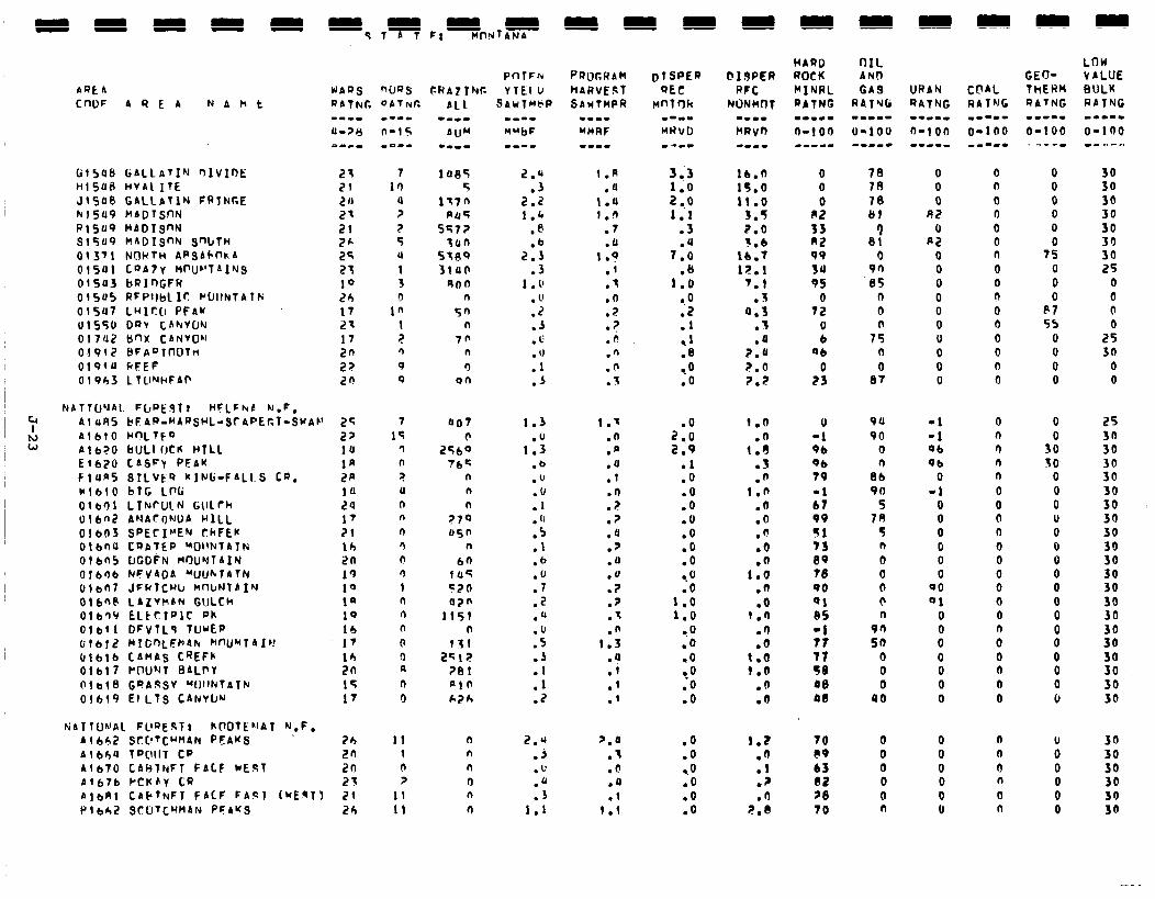
PQEA CnDF AREA N & h t
Hl548 HVALITE JlS46 GALLbTlN CRINGE hl549 MADTSnN P15U9 MADISnN ~15~9 naoIsnhc snbtn 01371 NOHTH 4PSACOhA 01541 COAly MPIJ~'T~INS OlSU3 bRlDGFW 01545 RFPllbLIr: C~IINl4lP; olSu7 LHlcO PFAW 01540 Dmr CAhVCJY 017UZ b'-fX CANVOhl 01912 8FA~lnOtM 019f4 kFEF 01963 LlUNhFAP
NATTU'JAL Fl~at'glr HFlFkb N,F, Al uA5 ~F4R-~AQSrL=SCAPEC~-S~A~’ Al610 hnLtt4 Al670 bULl(JCR HTLL El670 CASFY PEAK FluAS SlLVtQ kING-FALLS CQ. Ml610 bTG LW 0ler)l LTNrUlN G\lLrh Ulbnt? ANA~IJWb HILL 01603 SPECIMEN CkFEw OtbflU CQATEP WllNlAl~ 016n5 IJCD~N M'XJrlTAIN 01606 WV4OA "UUhTAlN t,!bl,7 JFfilCUlr MWNTAIN Otta-@ LAZYMAN GULCh Otb'I~ ELttTfJlC Ph 016f1 DFVTLI TwEP 016f2 MlGOLFrdk km,Irl4fr! Of616 CAnAs CREFk 01617 PflU"rT 0ALf'Y (11618 GDdsSV "IJIlNTATk 01619 EILTS CANVW
HATlU~‘Al. FLlQE.51; hCQtEL1AT N,F, Al6$2 SC:C!TC~MlN PEAKS . 41664 lP@llT CP act+70 CAHTNFT FALF WEST A(676 rcuhy ccl
Pf-llFcu WAQS nws c.wrz1w YTCl I, QATNC DATNC SdbfiMtiP
-w-w MubF
2z 2f 20 21 I?1 26 25 2; 10 2h 17 2x 17 2n 2? 20
25 27 14 la 2p 14 24 17 21 lh 2n I', 10 1' 10 lb I7 10 2n 15 17
26 2n 2n 21
AlbRl CAFTNFT FACF FA!21 (UEqT) 21 P16h2 QrUTCW4N PFAKS 26
7 In
4 ? 7 5 U 1 3
,R 1 2 fl 9 0
7 15
? n ? U n n
n q 0 n 1 n 4 n 0 0 A 0 0
11 1 4 ?
11 I1
14.35 2.q 5 .3
137fi 2.2 PO5 1.4
SS7? .@ Tan .b
szgs 2.3 31ua .3
90n 1 . 1' n . u
5n .2 n .A
70 .I: n . IJ cl .l
on .A
a07
256: ?bc
n n n
?70 45”
n 60
145 570 070
1151 n
?Zl 2512
?Bl PlO 626
1.3
1::: .b .u .u .1 . ‘I .5 .I .b .u .7
2 . .o
:5 .J .l
::
2.q .A .u .a .s
1.1
1.R .4
1.4 I.11
.7
.a I .?
.I
.t
.? ? .
.?
.n
.n
.n Z .
1.' .n .n .4 .I
1: .? .U .7 .a .a .? .7 .q .n
1.3 .a .i .I .I
7.4 .I
0 . .4 .l
1.1
DTSPEQ
QEC bmlrlk
m-m- WNVD e ---
3 .:3 1.0 2 ..o 1.1
.3
7:: .I)
1.0 a.0 .Z .l ,I .8
to .o
2:: 2.9
.l
.o
.o
.o
.O
.o
.a
.o -.O .o
1.0 1.0
-.o .o .o ..a .O .o
.O
.O
.o
.o
.o
.O
tb.fl 15.6 11 .o
3.5 2.0 3.6
lb.7 lZ.1
7.1 Z
a:i .f .a
7.4 7.0 2.2
1.2 .fi
:: .fJ
7.n
0 0 0
82 33 a2 99 3u 95
0 72
0 b
Ob 0
23
78 70 70 81
1 81
0 90
.I35 0 0
7s n 0
87
0 0 0
R2 0
A2 0 0 0 0 0 0 0 0 0 0
0 n 0 0 0 0 n 0 0 n 0 0 0 0 0 cl
0 -1 9b 9b 79 -1 b7 99 91 73 09 70 QO Ql 85
;: 77 5e 00 an
94 -1 90 -1
0 06 n 96
86 0 90 -1
S 0 78 0
5 0 n 0 0 0 0 0 0 00 0 01 n 0
90 0 50 0
Q 0 0 0 0 0
40 0
0 n r) r) n 0 0 0 n 0 0 0 0 0 0
0" 0 0 0 0
70 0 0 n PO 0 0 a b3 0 0 I! 02 0 0 n 78 0 0 0 70 n 0 n
0 0 0 0 0
7: 0 0 0
P7 55
0 0 0 0
0
3: SO
0 0 0 u 0 0 0 0 0 0 0
og 0 0 0 0
i 0 0 0 0
LOW VbLUE BULK RATNG m-m-. O-100 B . ., r r,
30 30 30 30. JO
2: 25
0 0 0 0
25 30
0 0
25 3n 30
ii
3: 30 30
2 30 30 30 30
2 30 30
3:
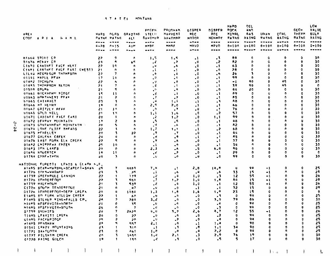
STATi?: MnktANA
tltb6U TfWlT CQ 27 elb?b HChAV ts 2’1 C.1670 CAtjlNFT FbCF WC?1 27 Ctb"l CAHTN=l FALF FASI IWE9T) 71 L1L4U wCt'=kr;~IR THt'nPSnN 27 OllUl MAPLt PF4M 17 ll1unz TIICHIJCR 22 O!UR3 ‘IH@~PqfJN qtT(jY 21 OlSn9 GRlrRb 21 Ofbbl EII!CKI-IWC! PIDGF 15 ~1663 NnPtMtcE3T PFA* 21
‘(it665 CATARACT 23 01666 MT HErlHV 19 otb*7 GfJItllY PFPK 21 ulbhb Gf'LD WILL 21 01671 CAtslhCl FALF EA.Sl 20
Y OlbtZ bFkoAV f”~ll.lNTAThi 10 0167) GnVFhNNFNT HDIINTATN 20
N P Olb74 L’WF CLJFF 9clFAnS 22
Olb75 PcNEtl-EV 20 'Jl677 GALFNA CRFEK 2u O!b7b EAST FURK CLr CPEFK 2? OlbnZ LwI”PFwA CkFEU 25 OlbP3 lFb LAKFS 2n 0169U linU,ERTCM 10 017eu CllliF-TY~N 20
NATTOUAL Fuf'EF!lr LFklS IL tt.A”k C,F, AlUPS ~Els-NAsSML-SCAOE~l-SwA~ 25 Al776 TWq-UA6NFff 23 A1759 GDEFNPULE LPNVWJ 22 81776 TFrnE'?Fr?OT 27 b17q9 HdLFnWN 29 Cl7?a SfkttH TFFtOEQFnUT 21 Gl72b lFNnEPFnOt=DEFP CPCFh 2n E 1495 2" FS)RK wTLLOw CRFEM 27 FluaS STLVkP KING-FALLS CP. 2A hl4n5 HFSFRvOlR-MRTH 21 NlUaS PFSFFVOIR-SnUTh 26 S'7T9 SWwIFS 24 114R5 LFAVITT LDEFh 20 UlUS5 PACKbPIPGF ?S rrlUA5 PFhr3HAW 2n OlSul LQA7Y M"U'JTAINS 21 01771 SAlrTW'TH 27 017?7 PILtCtTH CPEFK 2n 01778 PAINE GlrLCH 10
3 I I I I I
nuss DATkr: w--m
n-15 --mm
PnlFfi Gf?A2tNC Y TEI 1'
0 n 9 bc
10 n 0 0 7 n
10 n 4 I, 7 n 5 n
11 n ? n 3 n 0 0
10 n 1’) n
1 n 2 n S n 1 n 3 27 U n 4 n
10 n h n
11 n
1 n
7 4utlt s 2’; 1 i 79 5 55n 3 539 n u7 11 1iuu 1 be ? 784 0 t5 n 7 7 2h?A 0 27 2 2n G 257 1 tin 0 061 z 1+5n 1 150
I I
1.5 .7 .h .1 .u ;1
:Y
.n .I
7
1:; 7.0
.7 1.6 1.7
.5
.c I.’
.7
.Q
.b
.n
.b
.? .n
.l
.b
.4 1.7
.a
.O 1 .u
.n
.n
.n
.n 5.7
.n
.7
.n
.3
.n 7.1
.t
I
.I
.o
0.0 .O .O .O .o
9.0 .o .O .O
11
.u
l .0 .o .O .O .l .o .l .O a.0 .5 .o .U
2.8 .a
Pi ll0
.l 1 ..b
.O
.o
.o
2:: .O 0.0 .l .a .u .- 3 .o
1 I
.J
.Z
.l
.n
.4
.l
:: .fJ
:i
:: .l
? 1:i
:I
.2
::
.I
.I 6.0
.I
.o
14.A .b .3
1.A .l .l
1 .o .t
3.4 .a .S
9.7 .Z .a
1.0 1.1 7.2
7.9 .5
I
A9 0 R2 0 63 0 28 0 26 3 99 n -1 90 39 90 94 20 P9 0 RS 0 f48 0 66 0 76 0
57 n
99 0 00 n
RZ 0 68 0 UU 0 RS n
37 0
34 n 90 0 29 0 99 0
s9 12 l3U
I2 32 23
0 79
0 0
12 0 0 0
SU 0
76 5
94
15 s5 15 55 15 15 9U 86 94
;t 9u 9Q 90 90 94
19 17
I I
0 0 0 0 0 0 0 0 0 u 0 0 0 0 0 0 0
0 0 0 0 0 0 0 0 0
-1 -1 -1 -1 -1
0 0 0 0 0 0
-1 0 0 0 0 0 0 u
0 0 0 0 0 0
US 45
0 0 0 0 0 0
0 0 n
0 n
0 0 0 0
0 0 0
0 n
0 3 n
0 0 n 0 @ 0 0 n n 0 0 fJ
0 0
I:; I
6 0 0 0 0 0 0 0 0 0 0 0 0 0 0 u 0 0 0 0 0 0 0
0” 0
0 0 0 0 0 0 0 0 0 0 0 0 0 0 0
i 0 0
I
LOW V4LUE BULK HbTNG L.-II
O-100 --w-m
30 30 30 30 30 30 36
0 30 30 36 30 30 30 30 30 30
ii 30
i8 30 30
0 30
25 28 Zb 28 26 29
0 25 30 25 25 26 25 25 25 25 25 36 30
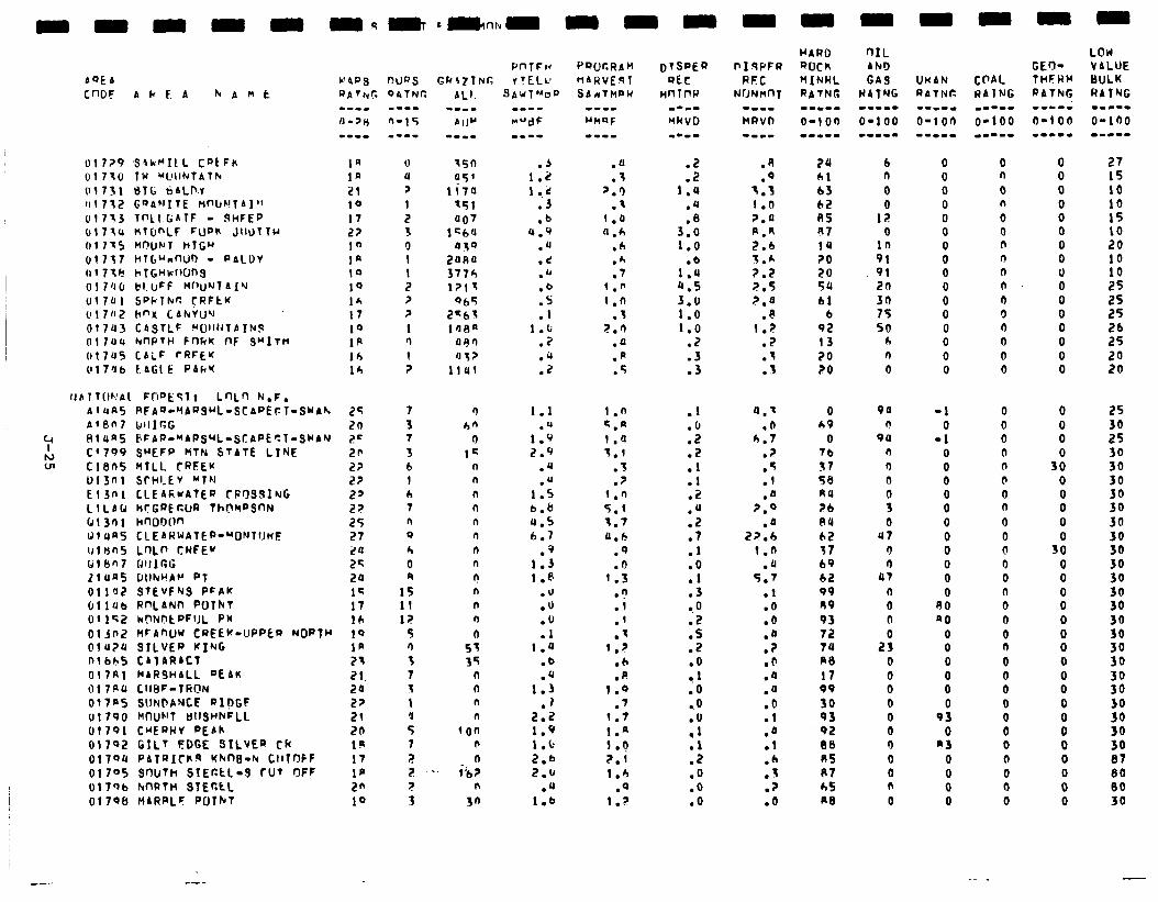
mmmmm
AQEA W4Pfj nUQS C”Gf A k F. A hAmt RATb,r. QATNC
01729 ,SAhrILL CQtFn 01710 TW "LlIINTAth
(11731 816 tiALD-T 1rl7f.2 GQAFIITE tlnbC!lAl” 01713 lf-‘Ll.GATF - SHFEP (rl7541 WTDhLF FUQK JllUTTr 017x5 hnuN7 nl~u 01737 hTb”nnUb - PALDY a17tr? hT(;nkoung 01 7'10 bI.uFF Mrlu'JTAIY
017Ul SPhThr: CRFtK 017n2 h"X CAhVUY 01743 CASTLF YUllhTA7hS 017114 hwTh F~)RK no SMITH 017U5 CALF rRFEK Ol7db FAG1 E PAh’t
lJAlTI)hAt F0",ESlt Lf-xn h.F.
Ia la 21 10 17 22 I" I' 10 10 I* 17 10 1p lb Ih
AlAA BFAQ-'IAQsuL-SCAPEFT-SWAF. AlSn7 IdllICG RlUn5 6FAQ.rAPsrL=StAPEsT-SWAN C'799 SWEFP MTN STATE LINE Cl605 MTLL CRSEK 013nl Srhl.EV Mlh El30 I CLEAFwAfER rPr)SSlNG LlLAb CICGQERUR Th(?kPSnN 61301 hnODIln 1JlUa5 CLEARWAlEP-~DNTl1n~
Ulbn5 LnLf’ CHfEK til f3n7 BllIr.G 21 UN5 GllNuA~ PT
OllflZ STEVFNS PFAK CllUb Rf'LAN7-i PUlhT Oil’?,? kCWitPFlJL PK
013f'2 MrAnWJ CREEK-UPPEQ NORTH Ol'J?4 SILVER KING nlbh5 CAlARACl 017RI hARJHALL 9EAK 017au CIIFIF-TfiON
017FS SUN@ANCE PlpGF 01790 h(nUF'T UllShhFLL 01791 CuEQhV PEAh
01702 GILT FDCE SILVER ch ol7Qt1 PAfQiCttR KhtlD-h Ct17r)fF
01705 SclUTH SIEttL-S TUT OFF 017Qb kmtn 91~c.t~ 0179tJ HARRLF PUIhT
r--
25 20 z= 2fl 2? 2? 2' 22 25 27
::
20 lG 17 ICI 1Q 1p 21
21. 20 22 21 20 IP 17 I@ 2” 10
0 u Y
I I? 3 0 1 1 2 ? ?
1 n
1 ?
7
3 7
3 b 1 (1 7 n 0
h 0 9
15 11 l;!
5 fl
3 7 1
1 'J
5 7
2 2 .
.1) 1.2 1 ..;c
.J
.b 4.9
.U
.d
.b
.b
:: 1.b
.2
.‘I
.z
1.1
1:: 2.9
.U
.U 1.5 b.8 4.5 6.7
.q 1.3 l.@
.u
.u
.O
.l I.4
.b
.u 1.3
.I 2.2 1.9 1.b 2.6 2.0
.‘1 1.6
.a
.I p.9
.- 1 .a cl.6
.h
.h
.7 1.n
1 .n .I
2.0 .a .R .5
1.0 <.a 1.Q 1.1
.3
.? 1.0 5.1 5.7 4.6
.Q
.n 1.5
.n
.i
.l
.q I.?
.b
.p 1.0
.') I.7 1.n 1.9
2.1 1.b
.Q l.?
:: 1.4
.u
3::
1.0
1:: a.5 3.0 1.0 1.0
.Z
.3
.3
.I
:i .2 .l
::
:: .7 .I .o
:: CO .2 .S .Z .O
1 l0 ..o
;;
.z
.O
.O
.o
PII9PFR RFC
NrJNMnT 1-11 kRVD
.R 74
.Q 61 3.3 b3 1 .o 02 ?.a a5
R.4 97 2.6 14 5.* 20 2.2 20 2.5 59
2.0 61 .P 6
1.2 92 .2 13 .I 20
I . . 20
4.7 .(I
6.7 ? .
.5
.l
.Q ?.Q
2,::
1.0 .JJ
5.7 .l .O .O
:i .O .4 .a .b .l
.d
.l
.b
.J
.?
.o
0 49
0 7b
57 58 44
26 04
b2 I7 69
62 99 R9
93 72 74 RB
17 99
30 93 92 FIB A5 II7 h5 Al3
b n
0
1: 0
in 91 91 20 30 75 50
h n
0
90
r! 99
n rl 0
s 0
47 0 0
a7
(I 0 n
2s 0 0 0 0 0 0 0 0 0 n 0
0 0 0 0 0 0 0 0 0 0 0 0 0 0 0 0
-1 0
-1 0 0 0 0 0 0 0 0 0 0 0
80 a0
8 0 0 0 0
93 0
n3 0 0 0 0
0 n
0 n
0 0 0 0 n n 0 0 0 0 0 0
0 0 0 0 0 0 0 n
0 0 0 0 0 n 0 0
0 n
0 0 0 0 0 0 0 n
0 0 0
0 0 0 0 0 0 0 0
:: 0 0 0 0 0 0
0
0 0
38 0 0 0 0
5: 0 0 0 0 0 0 0 0
0 0
0 0 0 0 0 0 0 0
27 15 10 10 15
:8 10 10 25 2s 25 26 25 20 20
25 30 25
ii
;!I 30 30 30 30
;: 30 30 30
3: 30
3:
3:
:: 87 80 00 30
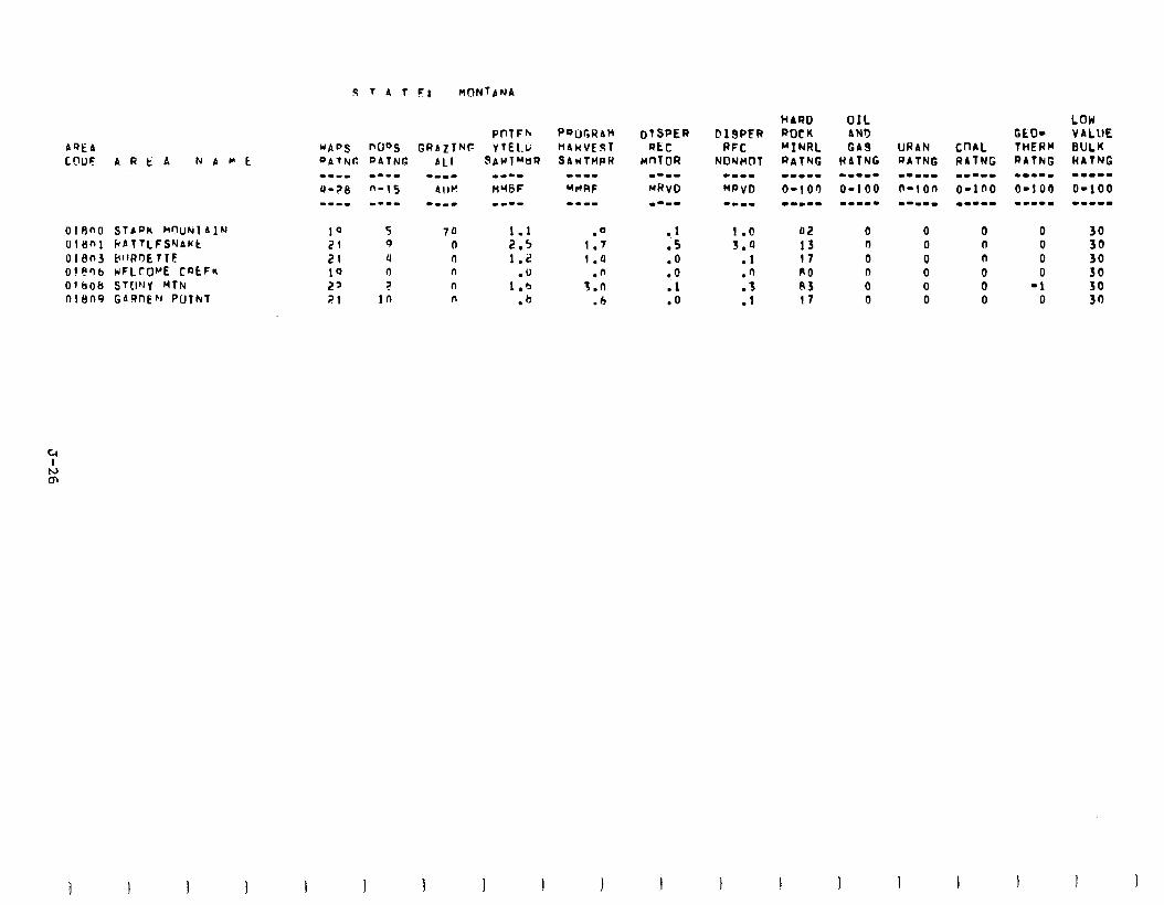
AQEA COOF ARtA N A H t
OtRnO SlAf-‘K WUNlAlN UlSnl bbTTLFS'-JaCt Ol8nJ tiIIRr)ETTE ot8')b KFLrOrE CQtF* O~&O& stwy Klk Oll)t-19 GAQntCJ PUTkl
1Q 5 70 1.1 21 9 0 2.5 21 u n 1.2 10 n n .U 2' ? n I.6 21 in n .b
.a 1.7 1.0
.n 7.0
.6
.I
.5
.O -.o .l .Q
::“4 .l .n
::
OIL ANI) GA9
HATNG -.-mm
0-100 -m-w.
GEO- THERM RATkG -I--.
O-l 00 .1--m
0 0 0 0
-1 0
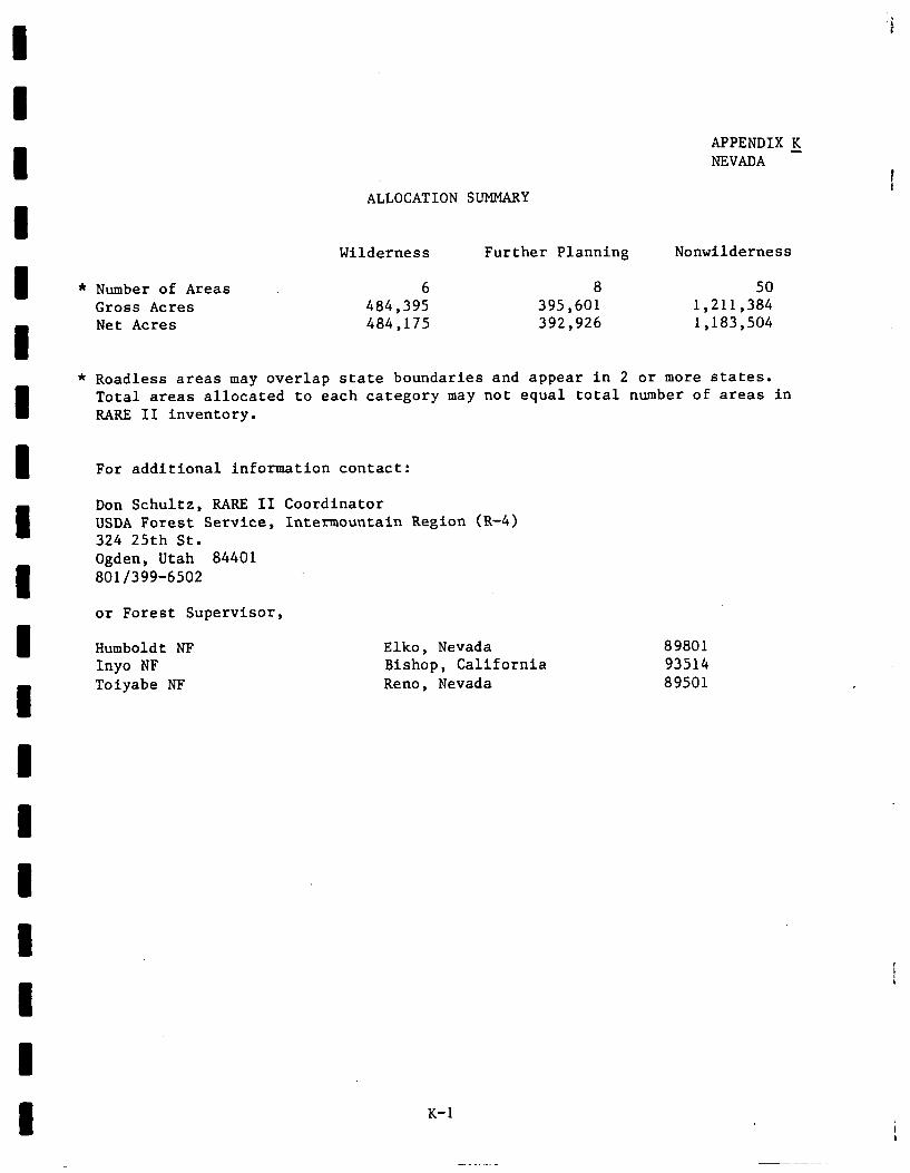
I u I I u u 1 1 1 1 I I I u I I I I
ALLOCATION SUMMARY
* Number of Areas Gross Acres Net Acres
Wilderness Further Planning Nonwilderness
6 8 50 484,395 395,601 1,211,384 484,175 392,926 1,183,504
* Roadless areas may overlap state boundaries and appear in 2 or more states. Total areas allocated to each category may not equal total number of areas in RARE II inventory.
For additional information contact:
Don Schultz, RARE II Coordinator USDA Forest Service, Inter-mountain Region (R-4) 324 25th St. Ogden, Utah 84401 801/399-6502
or Forest Supervisor,
Humboldt NF Elko, Nevada 89801 Inyo NF Bishop, California 93514 Toiyabe NF Reno, Nevada 89501
APPENDIX K NEVADA -
K-l
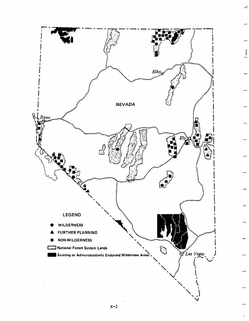
LEGEND
0 WILDERNESS
A FURTHER PLANNING
H NON-WILDERNESS
0 National Forest System Lands
0 Existing or Admmistrative
I I
I I
4 I
I I
I ,
K-2
-
i
-
-
-
-
-
-
-
-
-
-
I
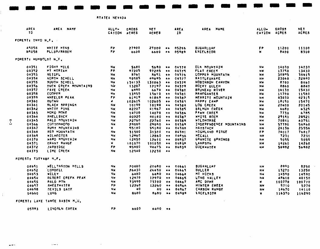
9fATEJ NEVADA
AREA AREA NAHF 10
4LLn- GROSS NET ARE4 CATION ACRES ACRES 10
FORERf! TNVO N.F.
ASOSti WHITE MTNS FP 27900 Ilr;OS8 PLLSRJRRSEN FP 6600
27000 l *
6600 l *
05296 OS989
FORE9T, HU~B’7LDT N;F,
00351 FIGHT “ILE oa352 MT MORIAH 00353 9EIGFL 0035a NORTH SCHELL oa35s OU35b 00357 Oa3S8 OOJS9 00360 00361 00362 00363 003bU Oa36S 043bb 00367 Oa368 00369 00370 oa371 00372 00373
RUUTH SCHELL DUCK CREEK MUNTAINS CAVE CREEK CWPFR WHEELER PEAK IYUTNN RLACK 9PRING9 WHTTF PINE MOKO HI3KF 9HELLBACK RALD H~uNTAIN CUTTnNWOnD RURY MklNTAINS RED MUUNTATN wILHC1ITE9 WARD M~IuNTAIN GRANT RANGF JARBIDGE LIME CQEEK
NW 5680 5680 FP 07205 97205 NW 87bl R651 NW 50585 UQ6OS MU NiV
134133 134063 13287 12107
NW 6990 6670 NW 13950 lfblO FP blQl9 bl8b9 II 102605 ~02605 NW 10190 10190 NW a2207 al967 NY i a100 la070 NW a0220 a0100 NW 22760 22760 NW 29080 ZOOS0 W 55180 ss1no NW 313OQ 31300 YW 12RbQ 12860 NW f2A50 12610 W lOlO lOlO3O FP OS900 94a75 NW 12340 12230
oa37a 04375 04173 04377 oa378 oa379 aarea 0U38! oaJ8Z Oa381 oa384 00385 64386 oase7 04388 04389 04591) 04391 aaoje oat337 OUb3R 04n39
FOREST) TUTYABF N.F.
Oobsl 00652 oabs3 00654 oa655 Oab57 00658 OobbO
,wELLThRTON HILLS LORDFLL wxLcv DESERT CREFK PEAK RALD kTN 9wEETWATER DEVILS GATF LUNG
NW ?oaBO 20490 NW 26030 26aso NW 6900 ban0 NW I2970 12970 NW 73990 73700 FP 122bO 1226O MU a0 a0 NW 8680 8680
FORESTt LAKE TAHrJE LiAStN H,‘U.
059R3 LI’-JCnLN CRFEK FP 6600 ILlnO l *
AREA NAME ALLO- GROSS NET CATION ACRE9 ACRE9
FP 11200 11100 w @a00 8300
NW NW NW NW NW NW NW NW hW NW NW NW hW NW NW NW
r:: NW hW NW NW
la030 la030 13750 i3a30 3aee 3UblS 23060 22690
8700 aa60 886O 88CrO
16130 15930 11700 11580 a3030 a2315 18150 15070 zoaoo 2018s
6680 6325 7730 6785
291n.1 28521 70841 60751 57780 50860 26136 25556 16017 tbblt
7231 7231 5055 5055
ia260 16260 56982 56982
8990 8250 lS270 13250 v590 lUS90 aec10 48150
100770 100770 5710 5270
lab70 14110 116370 11b290
SUGARLOAF EXCELSIOR
ELK MOUNTAIN FLAT CREEK COPPER MOUNTATN RAT-TLEsNAKE WOBINSON CANYON ROCKY GULCH BRUNEAU RIVER HAHI\GANIES MERRITT MOUNTAIN HAPPY CAMP LOG CREEK SALHUN CREEK PAWN CREEK WHITE ROCK WILDHORSE INDEPFNDENCE ~OUNTAINQ HAY9TACK HIGHLAND RInGE McCall GRANITE SPRINGS L,AMPS~N DUCKUATER
Oabbl OUbb3 OUbbP 00665 00667 04866 Oa867 Oa989
SUGARLOAF BULLER MT HICKS LnNG VALLEY ARC D@nE HUNTER CREEK C4R9riN R4NGC EXtELOI@R
NW NW NW hW W NW NW w
-
Social. Few identifiable social impacts will occur in Nevada as a result of imple- - mentation of the proposed action.Most significant social concern focused on economic impacts, restrictions on industrial development as a result of air quality criteria, and symbolic importance of wilderness, such as the need to preserve areas of high ! - scenic beauty and wilderness values for future generations.
Three roadless areas proposed for further planning in easternWhite Pine County would continuetocause serious concernsthatpotentialwildernessdesignation would forclose -
economicdevelopmentopportunities duetopotential tighteningofairquality standards. A related concern about these three areas is potential negative impacts on local and national economies and loss of jobs and employment if areas eventually become wilderness. As indicated, in the discussion of air quality impacts, Section 5, Effects of Implementation, wilderness classification in itself does not ,result in more restrictive air quality standards. In addition, the economic analysis suggests that no adverse effects will result from the proposed action.
Althoughwilderness-associated symbolicvalueswill be enhanced bythe proposedaction, especiallyinregard to Ruby Mountainsand ArcDome,uncertainty over final disposition
-
of Sweetwater, White Mountains, Sugarloaf, Jarbridge, and Wheeler Peak (all further planning), may result in significant social concern over the protection of symbolic meaning of these areas until further planning is completed. -
Economic. A summary of economic impacts for the proposed action is presented in the following table. These are national impacts and may or may not occur in Nevada. All state impacts are allocated from the national totals and are based upon state resource changes. They are Nevada's contribution to the national impact. For a complete description on how the impacts were calculated see Appendix W.
_
-
-
-
K-4
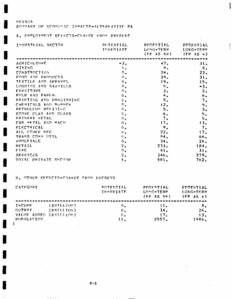
1 ~Jl)IlSTk 1 Al, Sq(!Tny Pr:TENTT AL PIll’Fh’T I FL P0TF:hTl AL 1 !: In F: n 1 AT F LII?IG-TF:FM I~uKG-‘rF,Ph’
(F’P AS I’:W) (FP AS hy) --1---------111------------------------------------------------------
A(;RIClll,l’l,HF -3. 47. 31. YIhlIlyT; (J . W. 6. CnhSTRIICT TO’4 0. 2K. 22. vmn h :II~ pb2of)crC’r s ” . 39. 31. TEXT1 I,E AhID APPAPFT, 0 . 19. 15. I,i1GC.T?!G AVrl S4LtJ~TI.~l,S 0. 5. -3. FIIWN TTiJWE 0 . 3. 2. prrr,p aNn PAPF’Q, (1 . H. 6. PPltGTT\(; Ad!!) !‘1l~~t,rSM~tvG 0 . 9. 7. CHF~lT~al,S AbP RIIR~~FU 0. 12. 9. PETW!lI,C:l.l~‘. WSF J”J 1 iuc. 0. 5. 3. STntil? CIJAY Ah’!? r;lmASS r-f . 6. 5 . . PRT!dARY !*;FAA., 0 . 7. 5. FAR uF:‘f’AL A!JD MBCC! I., . 17. 13. ELr;:CTV ICAL 0 . 9. 7. AT-l, r?TI{Et2 KFC (J . 22. 17. TPANS CI?YM l!TTl, t: . 94. 66. bJ’rlnl,FSAI,F, 0. 34. 26. HE’I’A I L 2. 233. 184. FTRE 0. 31. SEKVlCrl:S 2. 3::: 279. T17’1’AI. PR TVkTE Sk.C’fflP 4. 981. 7h2.
C ATFG(lQY POTF:!TrIrI, P01’FhfT 1 at PClTFhrTlAL
I TF!~IYPI CTF Lnl’C-TERP l,ONG-TFIQM
(F’IJ AS NW) (FP AS H.) -------oIIIIIIII-III----------------------------~------~-------------
I
J 4 CI l..r k! E (SMTI,I,Irlr”l
T(lr\:i 0. 11. 8.
I7 1.1 T p I.1 ‘P (SYTfaC 0 . 34. 26. v~~,I.IF: 4onEr) ( SW I 1.1, lflr:) 0 . 17. 13.
I PliPIII,Al’~fl~! 11. 2557. 19P6, 1
K-5
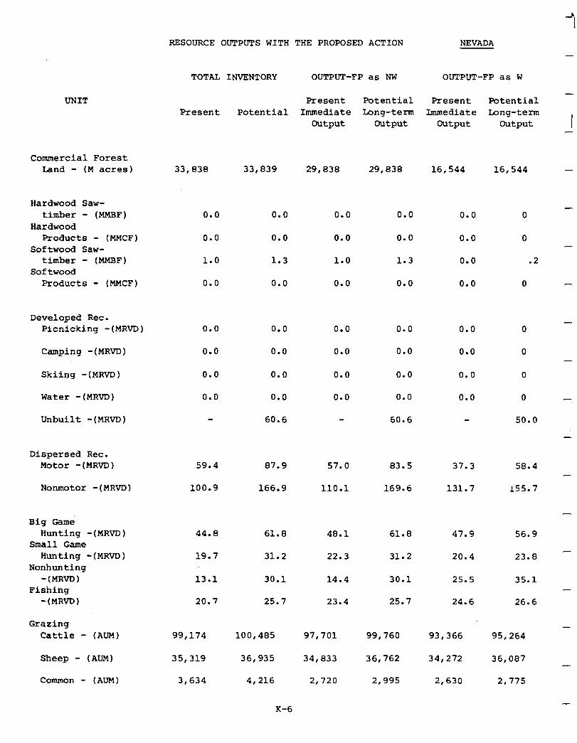
RESOURCE OUTPUTS WITH THE PROPOSED ACTION NEVADA
UNIT
Commercial Forest Land - (M acres)
Hardwood Saw- timber - (MMBF)
Hardwood Products - (MMCF)
Softwood Saw- timber - (MMBF)
Softwood Products - (MMCF)
Developed Rec. Picnicking -(MRVD)
Camping -(MRVD)
skiing -(MRVD)
Water -(MRVD)
Unbuilt -(MRVD)
Dispersed Rec. Motor - (MRVD)
Nonmotor -(MRVD)
Big Game Hunting -(MRVD)
Small Game Hunting -(MRVD)
Nonhunting -(MRVD)
Fishing -(MRVD)
Grazing Cattle - (AUM)
Sheep - (AUM)
Common - (AUM)
-
TOTAL INVENTORY OUTPUT-FP as NW OUTPUT-FP as W
Present Potential Present Potential - Present Potential Immediate Long-term Immediate Long-term
Output Output Output Output I -
33,838 33,839 29,038 29,838 16,544 16,544 -
0.0
0.0
1.0
0.0
0.0
0.0
1.3
0.0
0.0 0.0
0.0 0.0
0.0 0.0
0.0 0.0
60.6
59.4 87.9 57.0 83.5 37.3 58.4
100.9 166.9 110.1 169.6 131.7 155.7
- 0.0 0.0 0.0 0
0.0 0.0 0.0 0
1.0 1.3 0.0 .2
0.0 0.0 0.0 0 -
0.0 0.0 0.0 0
0.0 0.0 0.0 0
0.0 0.0 0.0 0
0.0 0.0 0.0 0
60.6 50.0
44.8 61.8 48.1 61.8 47.9 56.9
19.7 31.2 22.3 31.2 20.4 23.8
13.1 30.1 14.4 30.1 25.5 35.1
20.7 25.7 23.4 25.7 24.6 26.6
99,174 100,485 97,701 99,760 93,366 95,264
35,319 36,935 34,033 36,762 34,272 36,087
3,634 4,216 2,720 2,995 2,630 2,775
-
-
-
-
-
-
-
-
K-6
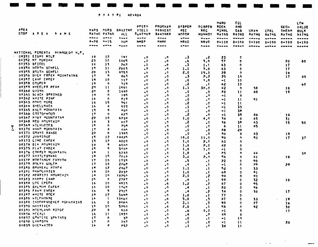
AREA
d 1 A T F! NEVADA
PnTEN MAPS nuts GRhttNG YTELL:
CCJDF A R E A hAME RATNG PAINT:
NbT!ONAL FORE$lt HllhROLDT N.F. - 09351
043~2 00353 ou35s 00355 04356 ou357 0035e 04359 04360 U4361 00362 04363 04364 04365 043bb 04367 003tacl
7 04319 4 04370
04371 04372 90373 04374 00375 043’b 04377
ou37e 04379 043no 04381 043a2 043p3 OU3R4 oa3R5 043nt. 043n7 oa3FS OU3P9 04340 04391 OUS?b ouel? Ofl8lCI oue39
- - ETGHT MTLE MT PIJPIAH SFIFEL NrwTh SCccFLl SnUTh SCHFLI. OlfLK rRFEw "UUNlATh~ CAVF CRFEV CnUPEQ k”EFLFR PFAY &III1 Nh 61 ACP SPRIhGS h+‘ITE PINF Pf-f*r) PUKE
S”ELLRACK pALn MOIJNtAT)u cnT vpkn00 RllfiV W.JlJNtA TN!, RED kfWNlAIN hTLWTTE3 esun MOCINTAJN GQANT RAhGE JAkQInGF LYME CWFEr EL* tWWJIA1~ Fl.rT CWEK cWPED MtjUhTAThr J~ATTLFSYAKL RrwThww tA~ynt4 RflL”Y GIILtt’ BPUNt~U WlVFu J”Ah%ANTER HFRPITT WWNTAI’J HtP”y CAM0 LnG CPEFK S8L”llN CkFtK FAh’J CHFEM hHITE R[rCM &lLf’hflCtlSE I’JDFPFNDENCF ~OllhtAINS hAYSTACK HTC.qAkn RlnGF MfCbLl Go6”1 TE SPh 1k;r.S L AHf’SllN WICKNATER
10 23 14 10 20 17 1R 19 2= 2n 10 16 ia
::. 17 22 14 1=
:3 14 15 ia 12 I@ IA 17 17 IA 19 1” 1s 16 lh lh In IA lh la 27 lh 17 17 16
I;! 10 11 11 13
0
lb 9
11 0 9 l-l
15 11
9 9
10 3 9 4 0
I? I?
Q 0 1
1s 10 10 17 10 l’,
n 10 10
9 12
1 0
10 9
11 0 n 4
.n
.n
.O
.n
.fl
.o
.fi
.o
.O
.n
.n
.n
.n
.I)
.n
.b
.n n
:i .n .n .9 .n .n .n .n .n .n .n .n .n .n .I!
.?
.n
.n
.n
.n
.n
.9
.O
.n
.n
.n
.n
.3
:", 1.1 2.0
,3
:S I.1
.O
.O
:: .l
r : 1.0
.Z
.o
.o
.o 16.0
1 ..o 1.0 1.0 1.8 3,o
.S
1:: 1.0 2.0
1:: .a .u
:::
::i .b .a .O
:!
.i! I.9 1.1 3.0
15.0 7.2 1 .I)
30:: .o .n .n .O .” .o .n
4.0 .o .fi
:: 11.0
2.0 2.0 1.0
.b 2.n
.l
.I
.I
.I
:: . .: .2 .I .3 .3 .I
a.0 . .: .D .n
HARD OIL ROCK AND "INRL GAS RATNG RITNG --L-I -m-m- O-l 00 O-100 --w-m -w..-
23 57 63 b3 28 25 -1 62 a2 PO -1 -1 -1 -1 -1 -1 tu 36
6 A8 RO 90 63 02 -1 a5 56 22 -1 52 69 9u 99 47 80 30 77 47 09 se -1 a9 -1 -1 36
0 0 0 0
1;
::
1;
1:
:: 38 38
3:
:i 0 n n 0 0 n 9 0 0 0 0 0 0 0 0 0 0 0 0 n n
1:
WAN RATNG --mm. O-l on
3s a0
51
06 a5 a3 a5
03 50
au
41 90 79 33 41 00 52 95 96 30
33 ?7 92
20 17 17 lb 17
10 19
LOW VALUE BULK RATNG m---w O-100 ..-I-
80
44
60
K 15 so
19 17 37
18
29
39
10
17
19
K 17
20
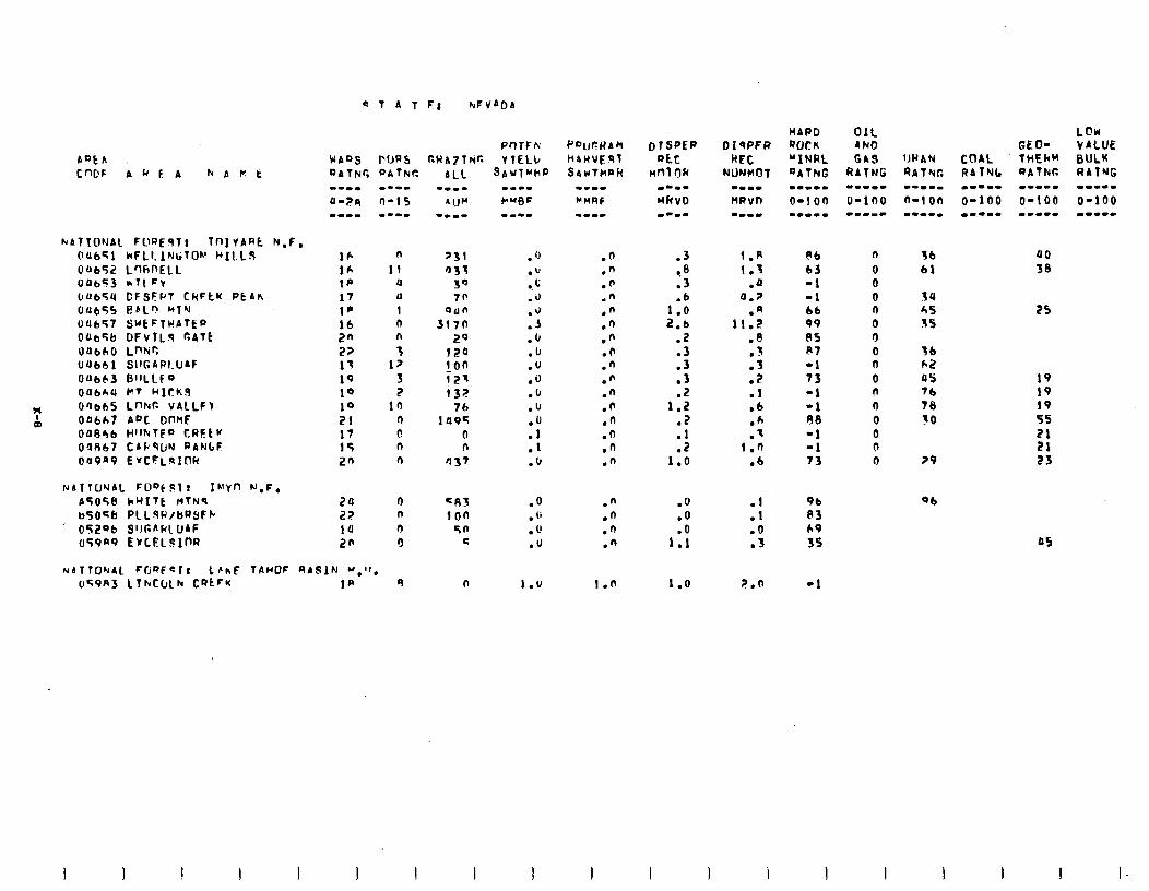
N87TONAl FOREqT: TnI VARt N.F. OUb51 bFLI. lNGT0~ HILLS 00652 L'lhDELL OP6<3 *TlFY UU654 DFSFPT CNFtU PtAh 0~655 e,Ln MTN OU647 SUtFTwATtP OtieLib DFvlLq r;ATt oubho whir, OUb61 SI1GARl.U4F 00663 BIILLf 0 OUbh4 I+7 ~1Ck.S
F O'Ib65 LnNr. VAlLFt
a0 Ofi6h7 Af'C DnMf ode46 H'lhlFD CRFL if O'J867 CSliSUN RAN6F oa9a9 E vcFLqICw
NAllUNAl. FOo)Slt 1h’Yf.l N,F. A5058 kHIlt HTN9 b5Osb PlLSP/bQYFC
' 05206 911G4RlUAF uT9a9 E~LEL JInR
16 n lh 11 I@ U 17 11 1p 1 16 0 2n n 22 3 17 12 1Q 3 10 2 10 10 21 4 17 P. 15 n 2n n
24 n 22, n ia r! 26 0
.3 76 .3
1:: 2.b
.2
.3
:: .2
1.2 .2
:: 1.0
1.A 1.3
.a a.7
.A 11.2
.8 .- .1 .? .I .6 .A .I
1.0 .6
.o
.o
1:;
1.0
:t .o .3
F.n
86 63 -1 -1 66 99 85 A7 -1 73 -1 -1 88 -1 -1 73
2 b9 35
-1
n 0 0 0 n cl 9 0 n 0 n 0 Q 0 0 0
36 a0 61 38
34 4s 5s
'56 h2 a5 76 78 30
29
25
19 19 19 55 21 21 23
06
05
1 I
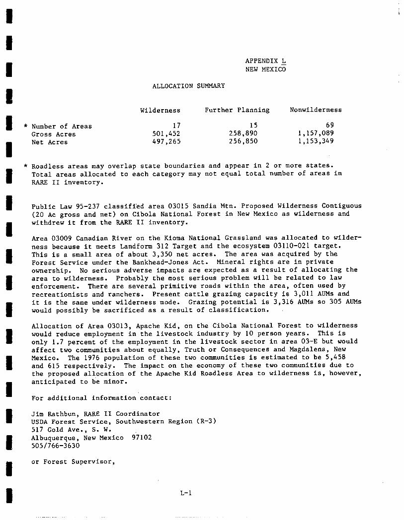
e APPENDIX L NEW MEXICE
ALLOCATION SUMMARY
Wilderness Further Planning Nonwilderness
e * Number of Areas 17 15 69 Gross Acres 501,452 258,890 1,157,089
I
Net Acres 497,265 256,850 1,153,349
e
* Roadless areas may overlap state boundaries and appear in 2 or more states. Total areas allocated to each category may not equal total number of areas in RARE II inventory.
e Public Law 95-237 classified area 03015 Sandia Mtn. Proposed Wilderness Contiguous (20 AC gross and net) on Cibola National Forest in New Mexico as wilderness and
I
withdrew it from the RARE II inventory.
Area 03009 Canadian River on the Kioma National Grassland was allocated to wilder-
e
ness because it meets Landform 312 Target and the ecosystem 03110-021 target. This is a small area of about 3,350 net acres. The area was acquired by the Forest Service under the Bankhead-Jones Act. Mineral rights are in private ownership. No serious adverse impacts are expected as a result of allocating the
e area to wilderness. Probably the most serious problem will be related to law enforcement. There are several primitive roads within the area, often used by recreationists and ranchers. Present cattle grazing capacity is 3,011 AUMs and
e
it is the same under wilderness mode. Grazing potential is 3,316 AUMs so 305 AUMs would possibly be sacrificed as a result of classification.
e
Allocation of Area 03013, Apache Kid, on the Cibola National Forest to wilderness would reduce employment in the livestock industry by 10 person years. This is only 1.7 percent of the employment in the livestock sector in area 03-E but would affect two communities about equally, Truth or Consequences and Magdalena, New
e Mexico. The 1976 population of these two communities is estimated to be 5,458 and 615 respectively. The impact on the economy of these two communities due to the proposed allocation of the Apache Kid Roadless Area to wilderness is, however,
e anticipated to be minor.
For additional information'contact:
I Jim Rathbun, RARE II Coordinator USDA Forest Service, Southwestern Region (R-3) 517 Gold Ave., S. W.
e Albuquerque, New Mexico 97102 505/766-3630
e or Forest Supervisor,
L-l
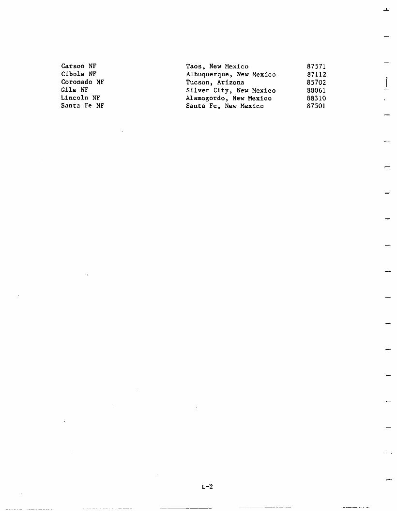
Carson NF Cibola NF Coronado NF Gila NF Lincoln NF Santa Fe NF
Taos, New Mexico 87571 Albuquerque, New Mexico 87112 Tucson, Arizona 85702 Silver City, New Mexico 88061 Alamogordo, New Mexico 88310 Santa Fe, New Mexico 87501
-
-
-
-
-
-
-
L-,2
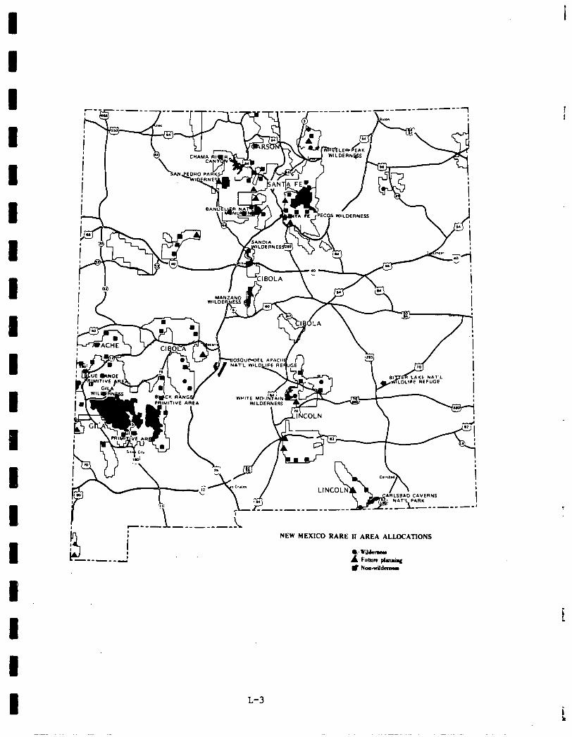
i --------1
Y : -------
NEW MEXICO RARE II AREA ALLOCATIONS
0: wildemm i Fubte pkmiq # Noawildara
L-3
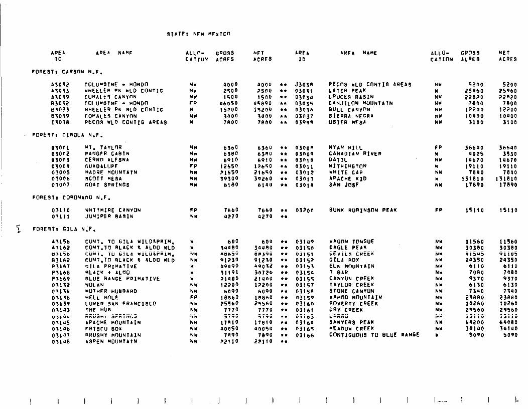
JfATF: NEW MFwlCn
APEA APE A NAMF ALLfl- GW3s hFT ARFA IO CATION ACRFS ACRES 10
FORESfc CARSON N.F.
A3032 COLU”sTNE - MONO0 ASOSS WHEELER PK hLD CONTIG A3039 CO"fALk9 CANYnN 83032 COLUMBTNF - WONDO 8’1033 WHEELER PK WLD CONTIC 63039 cOPALE CANYnN 13ose PECo.9 WLD CONTIC AREAS
NW NH NW FP W NW W
uooo a000 2400 ?500 1500 1500
04050 09890 15200 15200
3000 suou ?A00 7800
J303r, PECnS kLD CONTIG AREA3 NW 5200 5200 03031 LATIR PEAK W 25960 25960 030sa CRUCES BASIN NW 22820 22m20 03035 CANJILON MUUNTATN NW 7800 7800 03n3c, SULL CANYf?N hW 12200 12200 03n37 SIEPRA NEGRA NW 10400 i 0000 03999 USIER MESA NW 3100 3100
FOaESlt CIROLA N.F.
03001 “f. TAYLWI 03on2 RANGFR CABIN 03on3 CERRO ALFSNA 03004 CUAOALIJPF 03oos MADRE MOIJNTATN 03006 RCOTT MEOA 03007 GOAT SPRINGS
FORE9T) CO~O~AIXI N.F.
03110 HHTTMIRE CANYON 03111 JUNIPER RA9lN
FOREsTr GILA N;F,
A.1156 AI162 H515b 83162 P3167 P5168 P3169 03132 0113U 05158 Ofi o’J1as 031aU otias osiab 03107 os1ae
CWT. TO GTLA WILD~PIIM, CO’JT.TO SLACK % AL00 WLD CONT. TO GTLA WILDSPRIM. CONT.10 RLACK L ALDO IdLD GILA PRIMATIvE SLACK + ALrjO RLUE RANGE PRIMATIVE NOLAN NOTHFR HUBRARD HELL hnLE :;;E;u;AN FRANCISC@
RRUSHY SPRINGS APACHE MOUNTAIN FRISCU BOX aRUSHY ClOUNTAIN ASPEN MOUNTATN
NW NW NW FP NW NW NW
6360 6361) 6380 bfq0 6910 6910
12650 1?650 21650 21650 39300 3Q2bO
6180 blaO
FP 7660 7660 l t
NW rr270 4270 l a
W 600 600 W 14080 iouR NW R8bSo 80390 NW 91230 91230 W 09090 us032 W 31191 30726 W pi000 2lUflO NW 12200 12200 NW bfl90 6000 FP !8Obo 18860 NW 25560 25560 NM 7770 1770 Yk 5790 5790 Nk 17n10 17810 NW a0050 on050 Nk 7R90 78PO NM ?2110 22110
0300~ 03n09 03nln 03011 0301;! 03013 03010
03ion BUNK RORINSON PEAK FP 15110 lSll0
03lU9 WAGON TCINGUE NW 11560 1 IS60 031.50 EAGLE PEAK NW 30380 30380 03151 DEVILS CREEK NN 9150s 91105 03152 GILA AOX NW 20350 2U350 03153 LLK MOUNTAIN NY 6110 bl10 03isa T 6AR NW 7080 7080 03155 CANYON CREEK NW 9370 9370 03157 TAYLUR. CREEK buy 6130 b130 0315R STONE CANYON NW 7390 73uo 03lS9 NAHOO MOUNTAIN NW 23880 23880 0316n POVERTY CREEK NW 10260 102bO o3!bl DRY CREEK hW 2OSbO 29560 03161 LARGO hW 13110 13110 03160 SAWYERS PEAK NW bU200 6UO80 03165 MEADOW CREEK NW 30100 3UlUO 03166 CONTIGUOUS TO BLUE RANGE Y 5090 5090
ARFA NAME
RYAN WILL CANADIAN RIVER DATIL WITHI~JGTON MHITE CAP APACHE KID SAN JosF
ALLO- GROSS NET CATION ACRES ACRES
FP 36600 36640 W 002s 3530 NW 10670 14670 W 19110 19110 NW 78UO 78UO N 131810 131810 NW 17890 17890
1 -F-- I !-
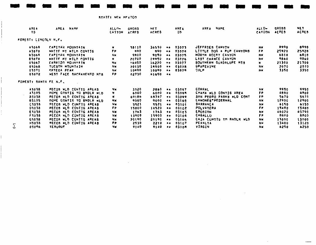
9TATF: NFk HFxTCfl
AREA AREA NAMF ALLn- GROSS MT AREA TD CATION ACRFS ACRES IO
FORESTr LIN,COLN N.F.
A3069 CAPITAk ClOUNTAIN A3070 WHITE MT wTLn COWTIG t)3069 CAPITAN MOUNTAIN 63070 WHITF MT WYLD SONTIG 03067 CARRTttl MOlrNTATN 05068 TUCSfIN MOUNTAIN 03071 ORTEGA PLAU 03072 WEST FACE SACRAMENTO HTS
FORE9Tr SANTA FE N.F.
A3038 PECOS WLb CONTTG ARtAS A3105 nOME CONTlG TO SNDLR NLD 83038 PEcO.9 WLD CONTIG AREAS 63105 nOME CONTIG TO SNDLR MLD CfO38 PECOS WLO CUWTIG AREAS 03038 PECOS WLb COIJTIG AREAS ET038 PECOJ WLO CONTTG AREAS F3038 PECOls WLD CUNTIG AREAS 63038 PECOS WLO CUWTTG AREAS
r I43038 WC09 wLb COWTIG AREAS 27 OfOwJ TESuI)UF
W 38110 36531) FP 990 990 NW PA00 9090 W ?O?OO 199'iu NW i 6050 lb220 NW 20130 i.99ao NH ton90 10890 FP a2730 &lb50
03073 JEFFRTES CANVFN 03070 LITTLE DOG l PUP CANYONS 0307s NORTH ROCKY CANYUN 0307+ LAST’CHANCE CANYON 03077 SOUTHFRN GUADALUPE nT9 03071 GRAPEVINE 03070 ?ULP
NW 3020 2860 W 6006 bOO0 W 69186 bnra? NY 9000 9000 NW 5521 5521 FP 15000 lose0 NW 1763 1763 NW 13900 13900 NW 20190 2n190 PP 2530 2210 NW 9100 0100
03097 CORRAL 0309s CHAMA WLD CONTIG AREA 03099 SAN PI! ‘DWO PARKS wLD CIYNT 03lOQ CANON@ _s”PEOERNAL n3roi BARRANCA 03102 POLVAMRA a31os EROSION 03104 CABALLo O3lOb CAJA CONTIG in RNOLQ WLD 03107 PERALTA 0310A VIRGIN
ARFA NAME AL1.b GROSS NET CATION ACPES ACRES
NW FP NW NY W NW NW
;i FP NW NY FP NW FP NW NW NY
8990 8990 25920 25920.
6810 6810 9860 9860
21300 21300 2070 2070 3350 3350
9930 9950 0800 an00 5670 5670
12900 12900 6150 6150
154’30 I’SQBO a6020 OS790
8800 8800 isono 13000 13uoo 13120
6250 6250
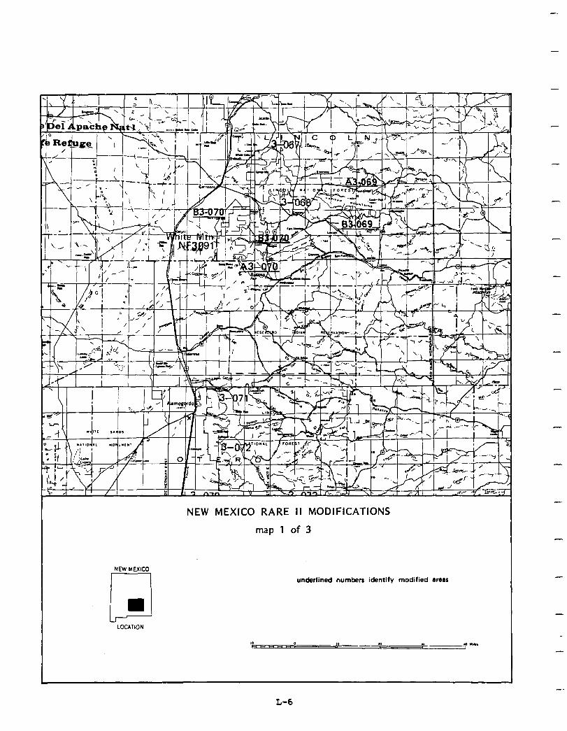
-
NEW MEXICO
LJ
NEW MEXICO RARE II MODIFICATIONS
map 1 of 3
underlined numbers identify modified area5
u
LOCATION
-
-
-
-
-
L-6
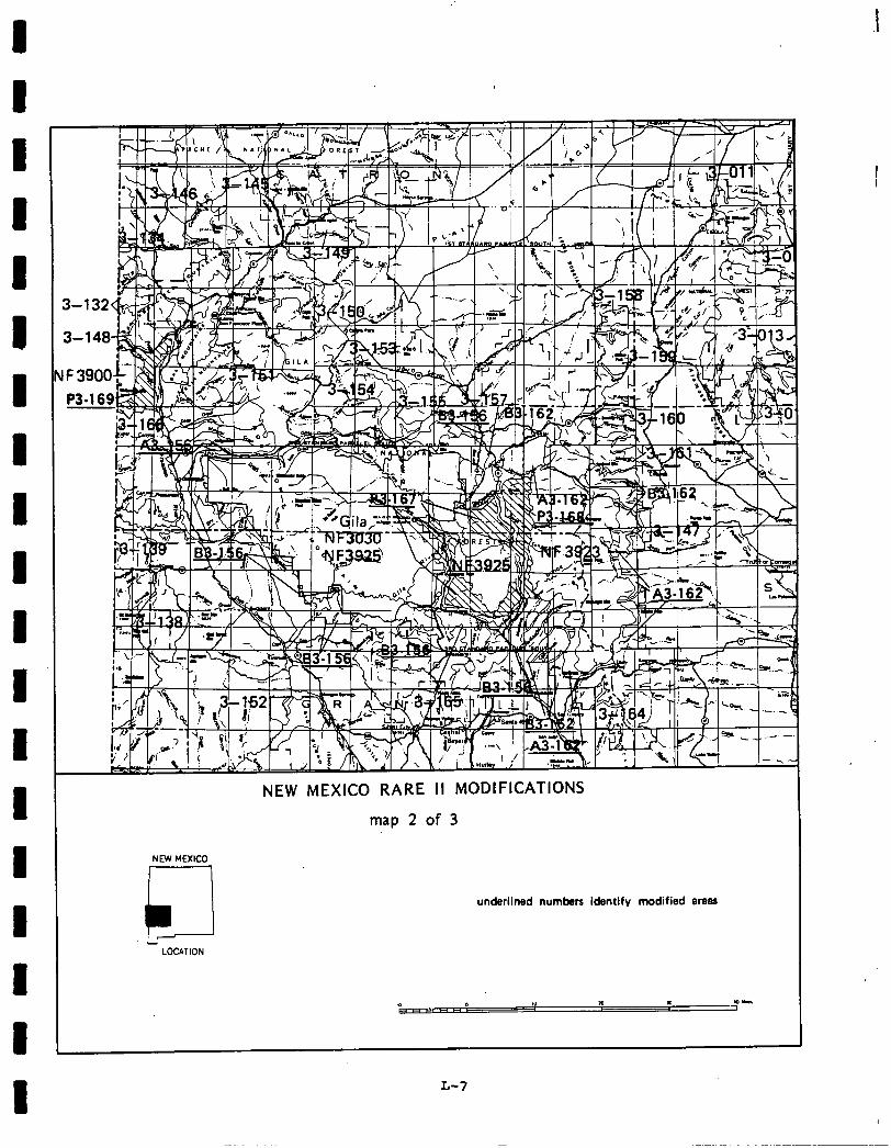
1 1
I 1 I
NEW MEXEO
Aid LOCATION
map 2 of 3
underlined numbers identify modified BTBRE
L-7
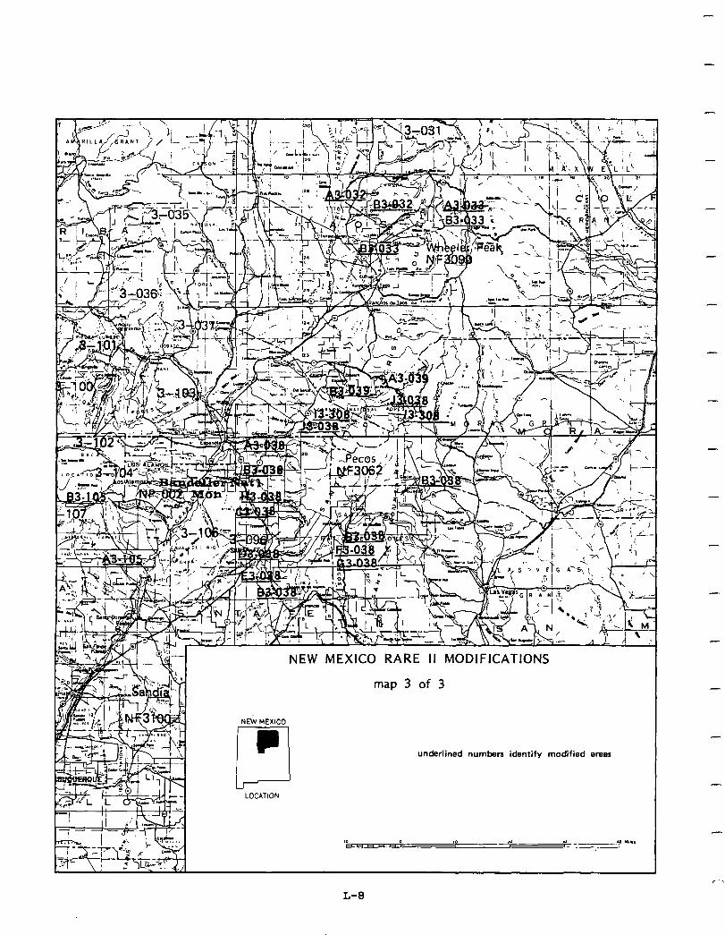
-
NE’i MEXICO
-
-
LOCATION
NEW MEXICO RARE II MODIFICATIONS
map 3 of 3
underlined numbers identify modified are85 I
L-8
Social. Generally,the social effects resulting from the proposed action will significantly enhance wilderness-associated symbolic values and provide oppor- tunities fordeveloped, motorized recreation use as well as dispersed primitive recreation opportunities. All 17 of the areas recommended for wilderness have important symbolic values to local and/or regional populations. Reasons such as "preserve for future generations," "high scenicbeauty andwilderness values," were frequently offered by the public in support of wilderness allocation for these areas. The symbolic meaning of these areas will be protected through wilderness. Althoughimplementationoftheproposedactionwilldisplacemotorized recreation use on specific individual areas, it will generally enhance these activities by allocating 69 areas to nonwilderness.
As the economic analysis indicates, minor employment losses in agriculture, logging, and sawmills will be offset by gains in other sectorsdueto increases in dispersed recreation. Consequently, perceived impacts on community social services will not be realized.
Economic. A summary of economic impacts for the proposed action is presented in the following table. These are national impacts and may or may not occur in New Mexico. All state impacts are allocated from the national totals and are based upon state resource changes. They are New Mexico's contribution to the national impact. For a complete descriptiononhowthe impacts were calculated see Appendix W.
The table shows agriculture and logging and sawmills employment losses and several other sectors gaining in employment. This isdue to increase dispersed recreation in areas allocated to wilderness. The expenditures from wilderness use more than off-sets the employment losses in other sectors. The potential long-term effects increase employment in every sector.
L-9
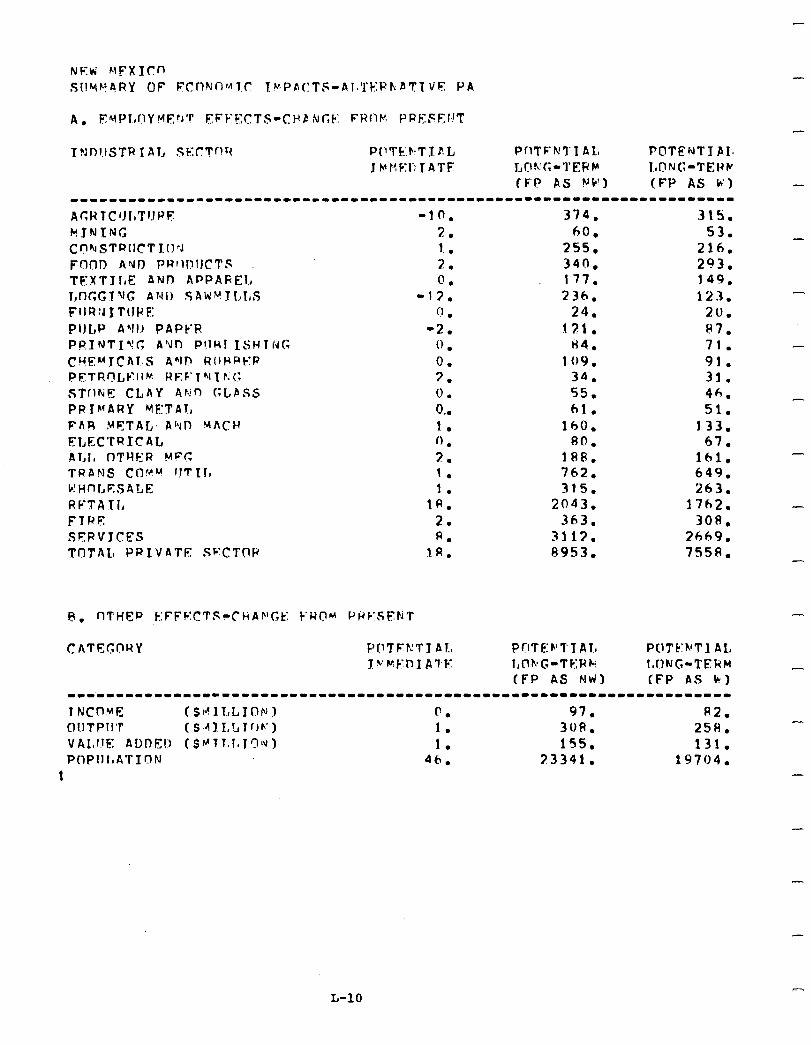
Ac;WTC’JI,TIJPF F?JNXNG Cr?NSTRllC’T LI)?J POtID Atit PRIII!IICTS TFXTII,E ANI APPAREL T,nGGT~fG ANI) SAW~JJI,I,S FflR:J I TIJPE: Pl)l,P AYI! PAPYR PRINTL’!C: A’Jn F’!lHI LSHTCJG Cl!E~1CAl,~S AhIP RIIHPER PFTR~L,PII~ REF‘L”II r.(: STrltiE CLAY Ariln (:LPss PRlMARY METAL FA.9 METAL. AI*JD VACH
ELECTRIC AL ALI, OTYER YF(: TRANS Cf3!?k! UTLl, b! Hn I, ES A L E RFTA Xl, FTRE SEPVJCFS TnTAL, PR IV ATE Sb:CTQP
374. 60.
255. 340. 177. 236.
24. 121.
H4. 109.
34. 55. 61.
lh0. 80.
1RR. 762. 315.
2043. 363.
3113. 8953.
PUTEF’TT Al, POTC:MTI AL, l,ClkG-TKPk InfIING-TERM (FP AS Nti) (FP AS b)
315;. 53.
216. 293. 149. 123.
20. P7. 71. 91. 31. 46. 51.
133. 67.
161. 649. 263.
17h2. 308.
2669. 75511.
-
-
---111-1---11-----------------------------------------------~--------
I NCOYE (S~ILL~ON 1 0. 97. f42. Ol,lTPII'l' (S~4lI,LIf!h') 1. 308. 25H. VALl!E ADDEO (SI"ll.l~lC'~~) 1. 155. 131. PI1PIIImATION 4h. 23341. 19704.
1
-
-
L-10
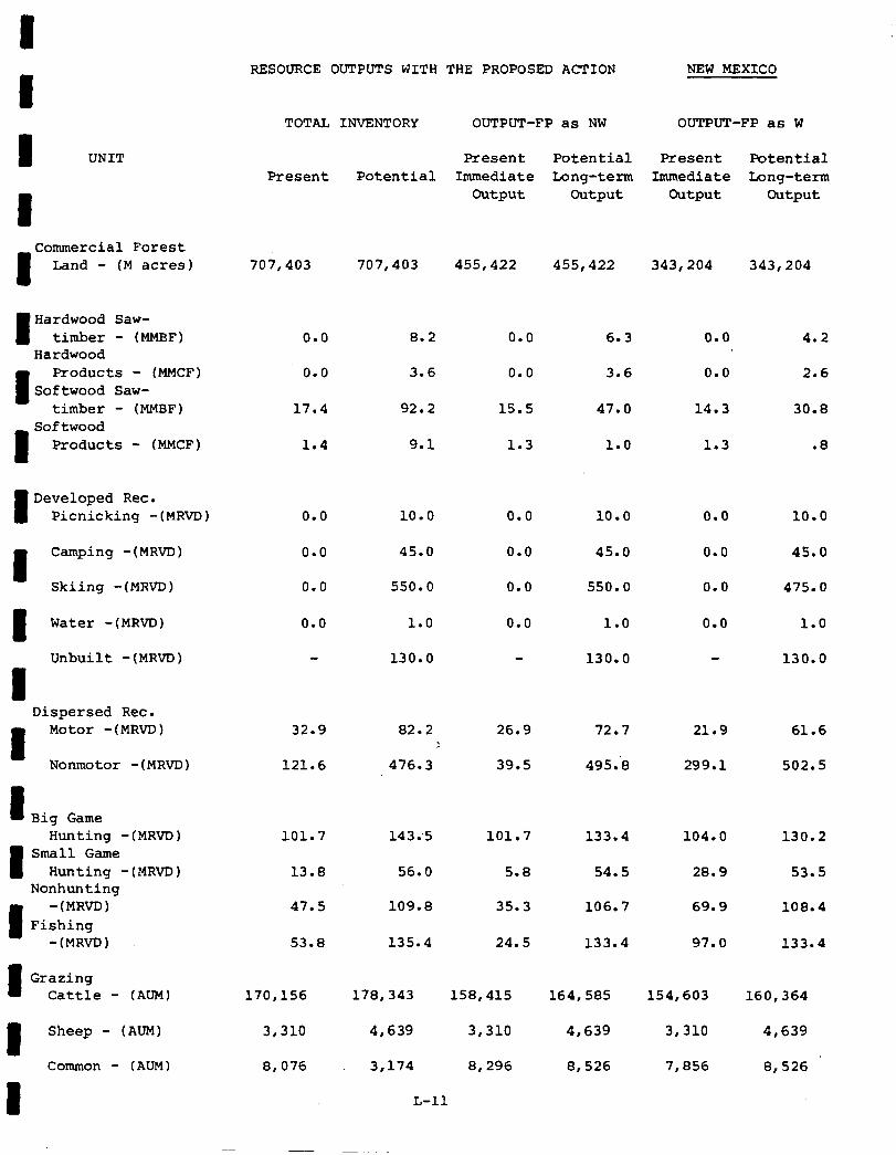
I UNIT
I
I
Commercial Forest Land - (M acres)
I Hardwood Saw- timber - (MMBF)
Hardwood
I
Products - (MMCF) Softwood Saw-
timber - (MMBF) Softwood
Products - (MMCF)
Developed Rec. Picnicking -(MRVD)
I Camping -(MRVD)
Skiing -(MRVD)
Water -(MRVD)
Unbuilt -(MRVD)
I Dispersed Rec.
I
Motor -(MRVD)
Nonmotor -(MRVD)
1 Big Game Hunting -(MRVD)
I Small Game
Hunting -(MRVD) Nonhunting
I
-(MRVD) Fishing
-(MRVD)
Grazing Cattle - (AUM)
Sheep - (AUM)
Common - (AUM)
RESOURCE OUTPUTS WITH THE PROPOSED ACTION NEW MEXICO
TOTAL INVENTORY OUTPUT-FP as NW OUTPUT-FP as W
Present
707,403
0.0
0.0
17.4
1.4
Potential
707,403 455,422 455,422 343,204 343,204
8.2
3.6
92.2
9.1
0.0 10.0
0.0 45.0
0.0 550.0
0.0 1.0
130.0
32.9 82.2 26.9 72.7 21.9 61.6 :
121.6 476.3 39.5 495:8 299.1 502.5
101.7
13.8
47.5
53.8
143:s 101.7 133.4 104.0 130.2
56.0 5.8 54.5 28.9 53.5
109.8 35.3 106.7 69.9 108.4
135.4 24.5 133.4 97.0 133.4
170,156
3,310
8,076
178,343 158,415
4,639 3,310
3,174 8,296
L-11
164,585 154,603 160,364
4,639 3,310 4,639
8,526 7,856 8,526
Present Potential Present Potential Immediate Long-term Immediate Long-term
Output output Output Output
0.0
0.0
15.5
1.3
0.0
0.0
0.0
0.0
6.3
3.6
47.0
1.0
10.0
45.0
550.0
1.0
130.0
0.0
0.0
14.3
1.3
4.2
2.6
30.8
.8
0.0 10.0
0.0 45.0
0.0 475.0
0.0 1.0
130.0
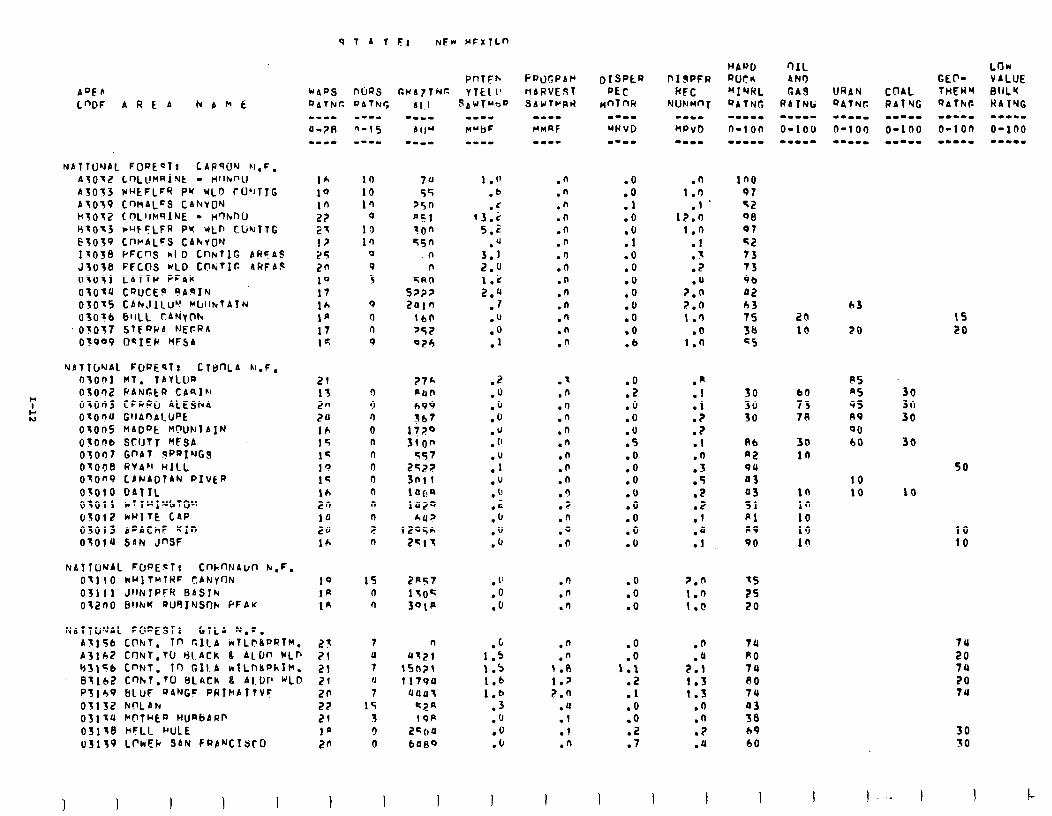
EI NFW MFXTL”
PnTFh CUA71Nr- YTkll’
r;ac)l;PAt’ nARVE3T sAUrPF\ti
.n
.”
.n
.n
.n
.n
.n
.d
.n
.n
.n
.n
.n
.9
.x
.n
.I)
.n
.n
.n .n .n .n .9 .Z .n .O .O
.n
.n
.n
.n
.” 1 .R 1.p 2.n
.u
.l .I .n
I
.O
.o
.I
.O
:i .O .O .o .o .u .o .o .6
:; .o .O .U .S .O .o .o .u .O .O .o .u
.O
.o
.O
.O
1:: .Z .l .o .o .i? .7
I I
.n in0 1.0 97
.I * 52 i7.n 96
1.0 07
.l 52
.x 73
.2 73
.u 96 7.0 02 2.n 63 1.0 75
l @ 34 1.0 c5
.n
.l
.l
.?
.2
.l
:: .5 .2 .2 .I .a .l
30 30 30
Rb AZ 94 03 a3 51 Pl RP
90
7.n I.9 I.@
35 25 20
.n
.a 2.1 1.3 1.3
.n
.n
.?
.u
7u PO 74 RO 74 a3 36 69 60
I I
AQFS L"DF A R E A bbkfi
IA 10 10 27 21 I? 25 20 19 17 16 la 17 1c
21 13 2” 20 16 15 14 1” 1';
16 20 10 20 16
19 la ta
lo 10 10
0 19 10
0
P 5
9 4 n 9
3 9 n 0 n n 0 9 n n n 2 0
15 n r)
7 U 7 a 7
15 1 3 0
I
NATTONAL FORECT! CAPqCIN N,F, 410X2 C~LVMRINE - t4flknU A3033 NHEFLFR PU ULD CU'lTJG AT039 tnM4LFS CANVON htOl2 CnLllMqlNE - ktqknU HIOX rqFFLFR PW rLr, tLir;TlG ESOSP CnluALFS CANYON 11038 PFCnS kl D Cf-hTlG ARFAS J3036 FFCCIS WLD Cnh;tIt- ARFAg UT051 LATTP PF4v OlOtU CQUCEP RARIN 03015 CANJICU~! MblllutA1~ 03016 6'1LL t.AN'yW+
'010'57 STF~UA MEGRA 03999 OCICP YFSA
63
20 20 10
(5 LO
~ATIWAL FOPEqf: C16nLA N.F. oxon hl. TAYLUQ OSor12 PINC.CR CAal~l OlOaJ CFGPU 4LESh4 OtOnU GllAOAl.UPt 0tonS HADot M(IUNldIN 01on6 Stl~tl MFSA 03007 Cf’Al lPPRI'JG3 0'1036 RV4'l HILL o1on9 CACADl4N PIVCP 03010 DATIL 03011 N~lul@'~tO" 05012 kHl7E C4p 03013 APAChF '(If' OXOlU SAN JnSF
NATTWJAL FWEcT! CnhnNAllfl hr,F. 01110 kHlTnlRF CANYON 03111 JIINIPFR BASlb OlZnO 6llkK FWIINSnk PFAw
NATTU’JAL FO~E91: GlLA N.F.
PS A5 95 AV
90 60
9: 76
30 in
30 fn 30
30
so 10 10 10
in 10 13 10
10
10 10
74
20 74 20 74
A3156 Ct'Nf, Tn GILA wlLf?!kPRT#. 27 A3162 CflNT,Tu HLACK a 4LDn wLn 21 BSlGb CnNT, Tr, G1l.A wlLnLPhlH. 21 63162 cnhT.70 BLACK 8 Al.t.Jr' WLO 2f P3149 BLUF OANGF PRIMATTVC: 20 03132 kQLAFc 27 03111, MC'fHt5D HUmbARR 21 03116 hcCLL MULE la uSI; LrkFk SAN FRA'JCISrO 20
30 30
!- I I
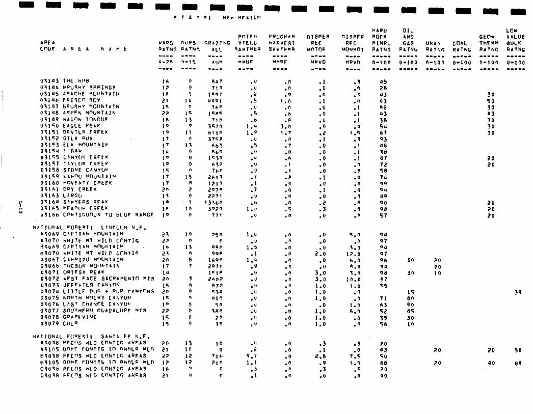
OtlU3 THE hlltr OXlULl bPUShV SPPING$ tJlla5 AoAChF ‘G~‘kTAlf~ Oflllh F9I9Cfl 9Ur 05107 bPudhV f.‘Ol.lhlP1lu OfI’ ASPFN MWJ~TAIN 03109 kAGnN TrJhGlJF 01150 EAGLE PFAK Of151 DFVlL!4 CRFEK 01152 GTLA RClY 01153 Elh HnUNlAIF! 0315U 1 RAW -u31<5 Cb~Yf14 CRFtK 01157 lAVl.GP CRFtF 01156 STD'r'E CANYCII 03159 b.Al-nU MtXJNlAI’d 03160 MVFF7Y CBEFK 0X1*1 DRY CQkFK 03153 LARGCI
7 0x160 SAlrVEPS PFAK
t; Ollh5 hFAmL,u CRFtV ~3166 cmr~wnus TU btu~ QANGF
S, 1 A T PI NFw MFXlCll
PnTFrr WARS nlms r.@A21hG Y1EI.C; RATNC. PATYr: AiL SAWTUbr)
16 l? 1K 21 15 2? In 10 19 17 17
IU
19 10 1G 17 I7 20 11 19 la 10
N~llUN41 rOPEsT! LTN~IJIN N.F. A5069 CAPlTAhc HlWNlA]N A1070 n~llt’ MT MILD CnNTlG H;uk9 CAPlfAN HnbNTAI~~ _
ktO70 RPITE MT WIIC LObTIr, 03067 LAknIIU W'UIJIAIN OTO6b TIICSUN Kllf~TATN 03071 OQlFGA PEAk 03072 rrFST FACE SAC~A!‘ENTfl WTS 01073 JFFFklts C&NY% 01079 LTTTLF @UC l PUP fbNYnNS 03075 NnPTn RnLKY CANVUN 01076 LBS' CHANCE CANVW (~7077 Sntj7nFRN ClrADALIIPF MT.9 07078 G~APtVI'JE 03079 CllLO
~fiT10NAl FII'J'EST! SANTA FF N.F. 4X01@ PcC"s 410 CnNllG AREAS A?lnS W-WF fG’JTlG lfl q Nf?LFJ MLn FITO')B PFCI'S ~10 L0kTlr. ARFAS bfl05 DrwF c~JYT~(, In RAnLo *LD Clulcl PFCQS ~1.0 CnNTIr. AkFAS
27 2p lb 21 20 17 10 20 1q 20 12 10 2?
IT 15
n Rat 0 71% 3 lRQ7
1u llOO(
n 7hP 15 15RF 13 'lb
0 3574 II blln
r) 3752 13 cbt
0 mb9 0 lC30 0 &3> n 7hn
15 2615 R 1217 2 297" 3 2271 1 13lbn
10 3029 !l 77l
1’) 0
13 n e 7
'SO n
OQO 99P
lh9n 287n 1=1p 24oz
R72 230 00')
5n 380
27 35
13 in 1n n 12 'Oh 12 ?on
0 0 4 n
m--m WYkjF mm--
.V
.v
.z
.5
::: .o
1 1::
:;
.o
.u
.u
. v
.7
.I
.7
.u
.o 1.U
.V
1.u
1:: .l
1.a .9 .fJ .v .U .d .u .J .V .u .u
. (1
9:;
1.1 .J .l
.n
.n
.Q I.0
.n
.h
.R 3.n 1.7
.n
.7
.n
.6
.I
.'
.?
.n
.o
.n
2 .n
.n .n .n .n
.n
.D
.n
.n
.n
.n
.n
.n
.n
.o
.n
.n
.n
.n
.n
.n
.O
.l
.o
.o
.l
.O
.o
:"o 0.2 .l .O .O .O .O .o .l .O .l .O .2 .3 .o
.o
.o
l . IJ
2.0
.O
3:: 3.0 1.0 1.0 1.0
1:: 1.0 1.0
.3
2:: .9 .3 .o
\ . . .o .T
:1 .I .1 .u
c.5 3 .
.'
.I
.l
.n
.fl
.a
.n
:; .R .O
? .
5.6
.n 3.0
17.0 6.0 9.0 1.0
lb.0 1.0
.fi
.Q 1.n n.n
.CJ
.n
.S
.O 7.5
1 .n .q .n
a5 2R 93 a3 ni!
;i 54 67 Q3 a8 38 u7 72 58 7u 99 94 a9 90 98 57
44 97 04
07 96 94 98 97
C5
71
:3 55 56
20 03 %O ee 20 00
OIL AND
30
30
1s en 90 es
30 10
?O 20 10
20
20
30 50 30 Q3
El 30
20 20
20 20 20
39
20 50
00 88
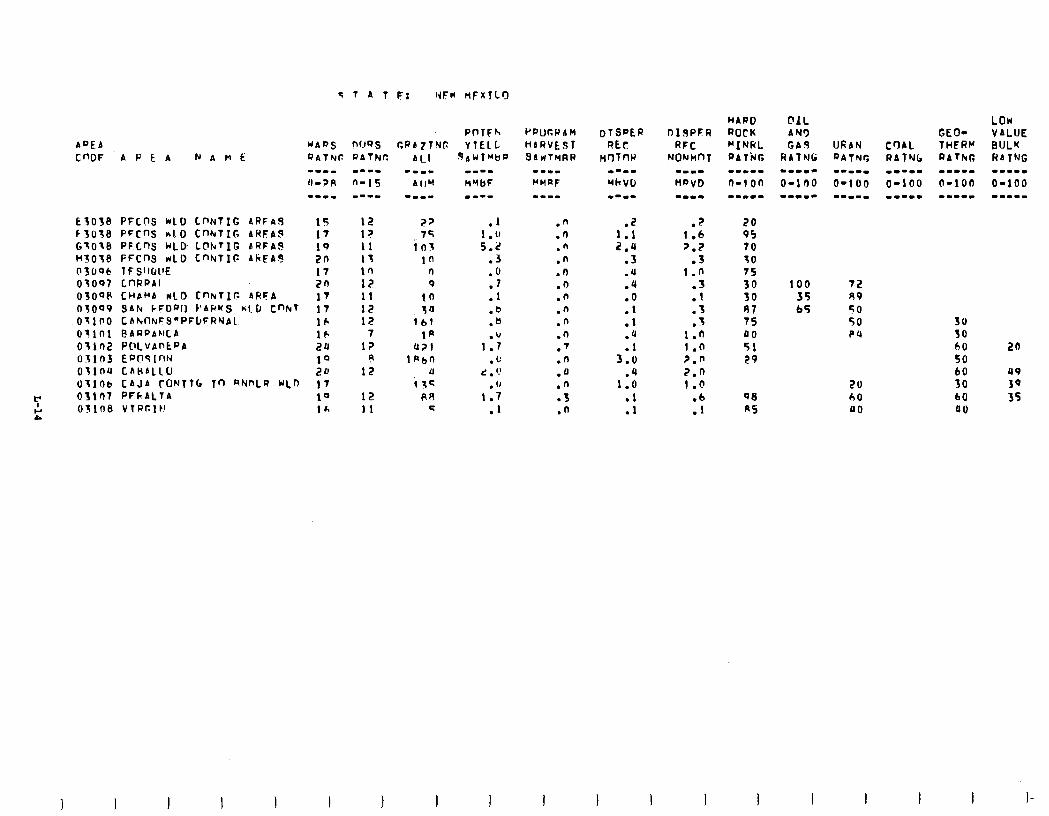
ADEA C”DF APEA NAHE
E3058 f 3038 G~OZ8 HZ018 03006 OZOO? 03OOP 03099 OTlSO oflnl 0'1102 oain3 otlnu c)TlfItJ
7 03107
E 031ne
PFCnS WLD CnNlIG ARFnA 15 PFCnS hlD CnhrTIG ARFAS 17 PFLnS CrLD L@kTIG bRFA.S: 19 FFCRi rrLD Cf’NTIG AkFA$ 2n 1 F SllGll'E 17 LnRPAl 20 CUbMA nlD CnlrTlc ARFA 17 s~h k~000 PARKS ~1.0 cmr 17 CAtdlkFS"PFtFRNA1 16 @AE)PANLA 16 PClLVAntPA 2u EPCIqlnN 10 CAHblLU 2u CAJA rONTT[. Tn RNnLQ ULO 17 PFk.ALTA 10 VTAClN 14
12 12 11 13 in 12 11 12 12
7 l?
9 12
12 I1
3AWTMbQ
.1 1 .lJ 5.2
.3
.O
.I
.l
.b
.b
1:‘; .L’
d . ‘J . ”
1.7 .1
t”pUCPAM
MbRVE9T SAVITMRR
.n
.n
.n
.n
.n .O .n .n .n .n .7 .n .a .n l 3 .n
1:: 2.4
.3
.4 .4 .O .I .l .o
3::
1:: .l .l
DISPFR RFC
NONM0t
.? 1 .h 2.2
.3 1.0
:: .3
z 13 1.0 2.0 2.0 I.@
100 35 b5
72 49 50 50 PU
20 60 00
30 SO 60 50 60 30 60 00
20
UP 3q 35
1 I
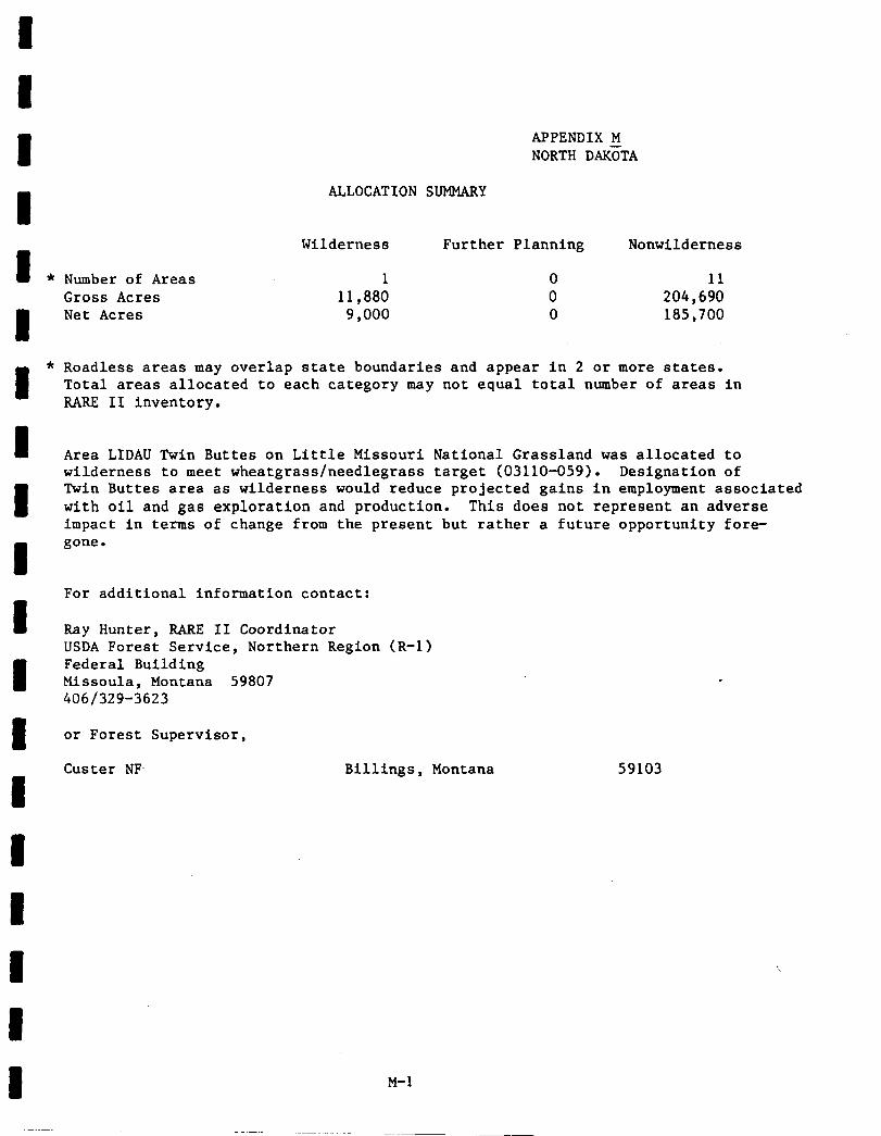
APPENDIX M NORTH DAk;TA
ALLOCATION SUMMARY
Wilderness Further Planning Nonwilderness
Number of Areas 1 0 11 Gross Acres 11,880 0 204,690 Net Acres 9,000 0 185,700
Roadless areas may overlap state boundaries and appear in 2 or more states. Total areas allocated to each category may not equal total number of areas in RARE II inventory.
Area LIDAU Twin Buttes on Little Missouri National Grassland was allocated to wilderness to meet wheatgrass/needlegrass target (03110-059). Designation of Twin Buttes area as wilderness would reduce projected gains in employment associated with oil and gas exploration and production. This does not represent an adverse impact in terms of change from the present but rather a future opportunity fore- gone.
For additional information contact:
Ray Hunter, RARE II Coordinator USDA Forest Service, Northern Region (R-l) Federal Building Missoula, Montana 59807 406/329-3623
or Forest Supervisor,
Custer NF, Billings, Montana
M-l
59103
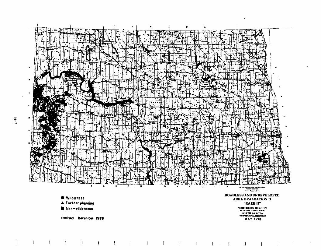
l Wildernese
A Further planning
ROADLESS AND UNDEVELOPED AREA EVALUATION II
“RARE II” l Non-wilderness
Rwl8.d Domnkr 197e
NORTHERN REGION RAnonAL G
NORTN DE * PUNCIPN. allDlr\tl
MAY 1979
I I J I 1 I I I I 1 I I I I 1
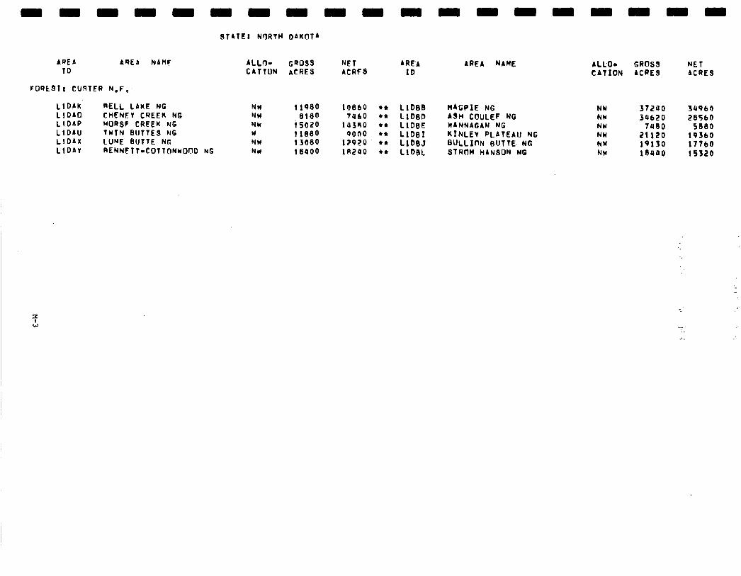
AREA AREA NAMF ALL+ CR089 NET ARE’A ID CATION ACRES ACRFS ID
FORt31! CU9lER N.F:
LlDAU’ RELL LAKE NC LlOAO CHENEV CREER NG LlDAP HORSF CREEK NC LlDAU TWIN BUTTE9 NG LlDAx LUNE BUTTE NP.
NW NW NW w NW
1 lP80 10860 l * LlbBt3 8180 ta60 c* LlDeD
i SOZO la3no l + LlDsE t 1880 9000 l * Llb81 13680 12920 l * LlbeJ
LlDAV RENNETT-COTTONWOOD NG NW 18400 in240 l * LlD0L
AREA NAME
NAGPIE NG A9H COULEF NG WANNAGAN NG KINLEv PLATEAU NG BULLInN BUTTE- NG STROM HAN90N NG
ALCO- GROSS NET CATION ACRES ACRES
NV NW NW NW NY NW
37200 3a960 34bP?O 28560
7480 5880 21120 19360 lQlf0 17760 1euao 15520
-1.
Social. The proposed action allocates one area to wilderness, Twin Buttes, and 11 areas to nonwilderness. Livestock grazing is expected to decrease as a resultofclassificationof TwinButtesaswilderness. Effectswouldbe significant to nine grazing permittees. If grazing decreases on the Twin Buttes unit are not accommodatedelsewhereontheNationalGrassland8, thesenine grazingpermittees may have to adjust their ranching operations. If decreases can be accommodated elsewhere, there would be a period of adjustment in ranching communities until the change is integrated into ranching lifestyles. Changes in grazing are not expected to materially change community identity or social structure.
Oil and gas exploration around 'Itrin Buttes would be more costly because direc- tional drilling may concentrate such activities along the perimeter of the Twin Buttes area. Conflict with ranchers may further intensify because of increased use and congestion.
The remaining 11 areas are now managed under completed land use plans. Local people participated in development of these plans. Social effects of primary concern were taken care of at that time. There will be no significant social effects from areas left aa nonwilderness. Wilderness allocation of l'Vin Buttes will increase a sense of loss of local control by residents who view the Federal Government as interfering in people's lives. Thus, the issue of the local vsg Federal control will likely be the focus of any debate.
Cultural and resource inventories and evaluations that comply which E.O. 11593 and the National Historic Preservation Act of 1966 have not been accomplished on the Twin Buttes Unit.
Economic. A summary of economic impacts for the proposed action is presented in the following table. These are national impacts and may or may not occur in North Dakota. All state impacts are allocated from the national totals and are based upon state resource changes. They are North Dakota's contribution to the national impact. For a complete description on how the impacts were calculated see Appendix W.
-
I L
-
-
-
-
-
M-4
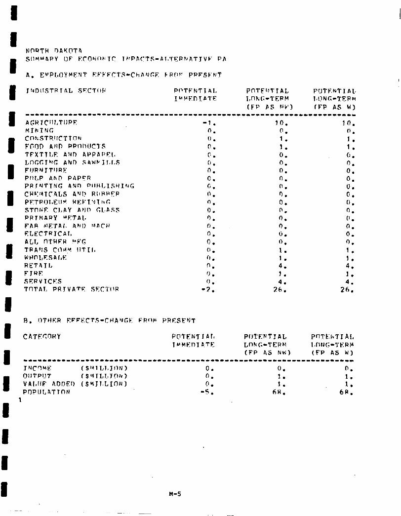
I R. r.)T,jER EFFkICTs~-~Hfi%GF: FFf,lm PRESFNT
ChTFc:r?RY Pc17’ENTI All POl’ENTI AL, PflTk:hT J AL TrMFnT B.TE LnkG-TEPtl I,fltJG-l’t;.RY
I (FP AS Nh’) (FP AS W)
------1--------1--*-------------------------------------------------- J NJCC)ME (s’~1I,I~Intil 0. 0. 0.
I
OIITP!IT t SY ILIIJON) 0. 1. 1. VAItfiE AfIDEl) ( $ti 3 l.L,IIYtN I 0 l 1. 1. PflPUl,ATlCIN -5. 6H. 6R.
8
M-5
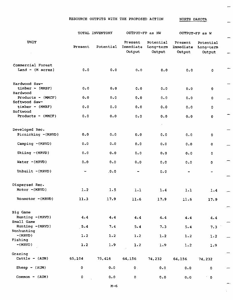
RESOURCE OUTPUTS WITH THE PROPOSED ACTION NORTH DAKOTA
TOTAL
Present
0.0
0.0
0.0
0.0
0.0
0.0
0.0
0.0
0.0
INVENTORY OUTPUT-FP as NW OUTPUT-FP as W
Present Potential Present Potential Potential Immediate Long-term Immediate Long-term
Output Output Output Output
UNIT
Commercial Forest Land - (M acres) 0.0 0.0 0.0 0.0 0
Hardwood Saw- timber - (MMBF)
Hardwood Products - (MMCF)
Softwood Saw- timber - (MMBF)
Softwood Products - (MMCF)
0.0 0.0 0.0 0.0 0
0.0 0.0 0.0 0.0 0
0.0 0.0 0.0 0.0 0
0.0 0.0 0.0 0.0 0
Developed Rec. Picnicking -(MRVD) 0.0 0.0 0.0 0.0 0
0.0 0.0 0.0 0.0 0
0.0 0.0 0.0 0.0 0
0.0 0.0 0.0 0.0 0
.o.o 0.0
Camping -(MR~D) -
Skiing -(MRVD)
Water -(MRVD)
Unbuilt -(MRVD)
Dispersed Rec. Motor -(MRVD) 1.2 1.5 1.1 1.4
11.3 17.9 11.6 17.9
1.1
11.6
1.4
17.9 Nonmotor -(MRVD)
Big Game Hunting -(MRVD)
Small Game Hunting -(MRVD)
Nonhunting -(MRVD)
Fishing -(MRVD)
4.4
5.4
4.4
7.4
1.2
1.9
4.4 4.4
5.4 7.3
1.2 1.2
1.2 1.9
4.4
5.4
1.2
1.2
4.4
7.3
1.2
1.9
-
1.2
1.2
Grazing Cattle - (AUM)
-
65,104 75,416
0
0
0.0
0.0
64,156 74,232
0. 0.0
0 0.0
64,156 74,232
0.0
0.0
0
0
Sheep - (AUM)
Common - (AUM)
M-6
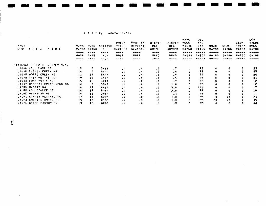
C nOF EktA hAHk
NAltU'JAl Fllat.ol I CIISTEP Y.F. LllJAk PFLL 1.Ar.E KC Ll~bCI CHEFfEv rPFEK Nt; LIOAP rnQqE CQEEk NC LfDAU TUIF’ QUTTCS 11’? LlDAx LWF PUTTF MG LIIJAY BrN’JETl-CPTT@Nd’Dn k:G LlOQb I*AGPIF NI; LllJPO AJH CWI. EF IIt LlURE kAhNAfiAN Nl, LlDQI kThl.tV PLbiFAll NG L I DPJ hll1.l Inti 6’llTE NC LlDRL STCnH HAM9UN ‘-It
I= n 14 0
13 15 10 1s 15 If 10 0 lh 15 lb 14 ia 11 17 15 1= 15 I3 15
n n n 0 0 0 n 0 n
90 9n
0

-
-
-
-
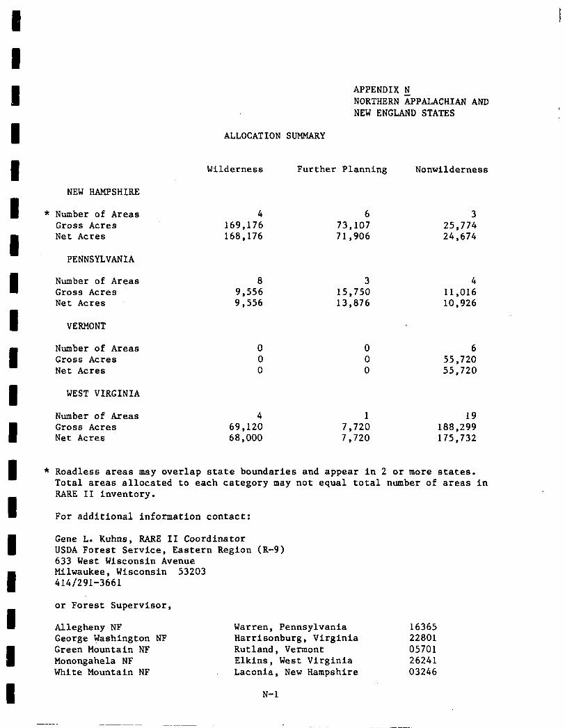
NEW HAMPSHIRE
Number of Areas 4 6 3 Gross Acres 169,176 73,107 25,774 Net Acres 168,176 71,906 24,674
PENNSYLVANIA
Number of Areas 8 3 4 Gross Acres 9,556 15,750 11,016 Net Acres 9,556 13,876 10,926
VERMONT
Number of Areas 0 0 6 Gross Acres 0 0 55,720 Net Acres 0 0 55,720
WEST VIRGINIA
Number of Areas 4 1 19 Gross Acres 69,120 7,720 188,299 Net Acres 68,000 7,720 175,732
APPENDIX N NORTHERN APPALACHIAN AND NEW ENGLAND STATES
ALLOCATION SUMMARY
Wilderness Further Planning Nonwilderness
Roadless areas may overlap state boundaries and appear in 2 or more states. Total areas allocated to each category may not equal total number of areas in RARE II inventory.
For additional information contact:
Gene L. Kuhns, RARE II Coordinator USDA Forest Service, Eastern Region (R-9) 633 West Wisconsin Avenue Milwaukee, Wisconsin 53203 414/291-3661
or Forest Supervisor,
Allegheny NF Warren, Pennsylvania 16365 George Washington NF Harrisonburg, Virginia 22801 Green Mountain NF Rutland, Vermont 05701 Monongahela NF Elkins, West Virginia 26241 White Mountain NF Laconia, New Hampshire 03246
N-l
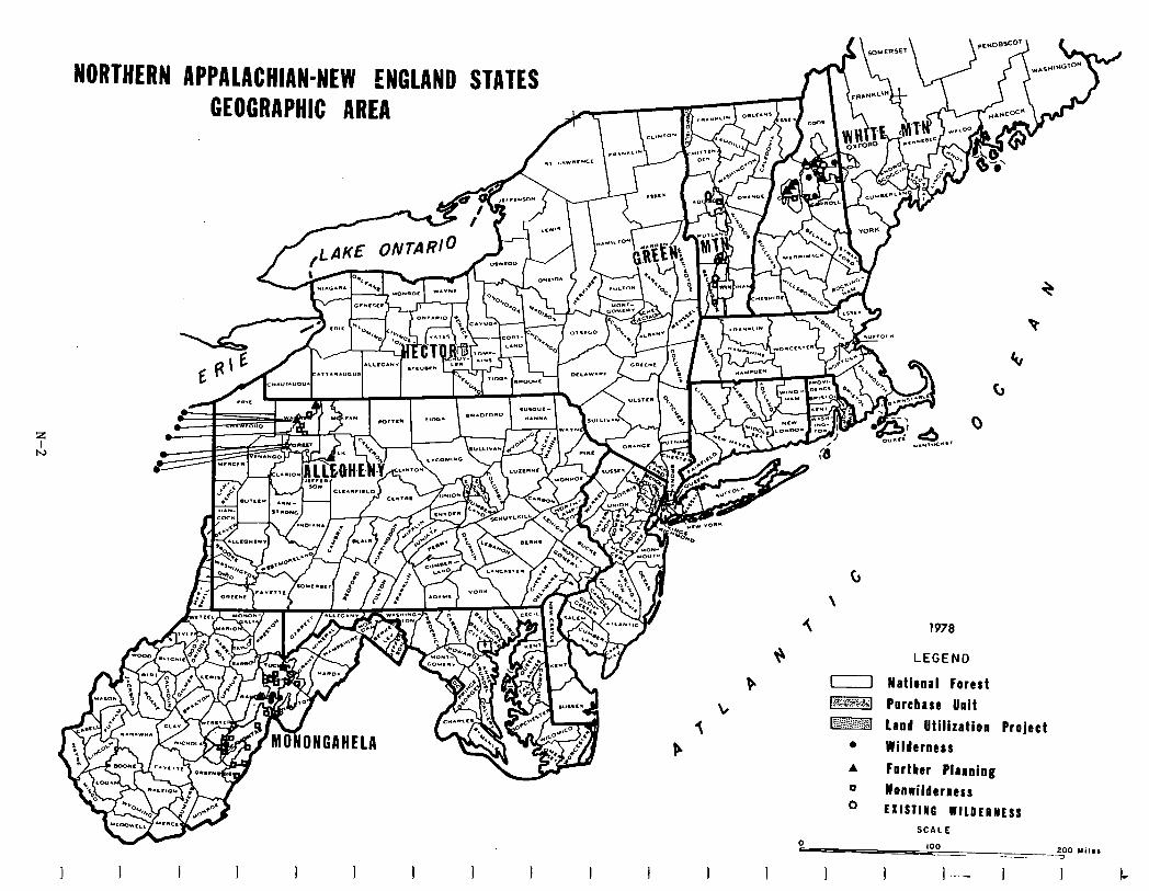
W- I I I I I I I I I I I
t! P L 3 P
c,
\
5 1978
LEGEND
11 National Forest
-1 Porcbase Unit
mq Land Utilization project
l Wilderness
A Fortber Planning
0 Honrilderaess 0 EXISTING WILDERNESS
SCALE
0
I I I I ] -..- 1 I L
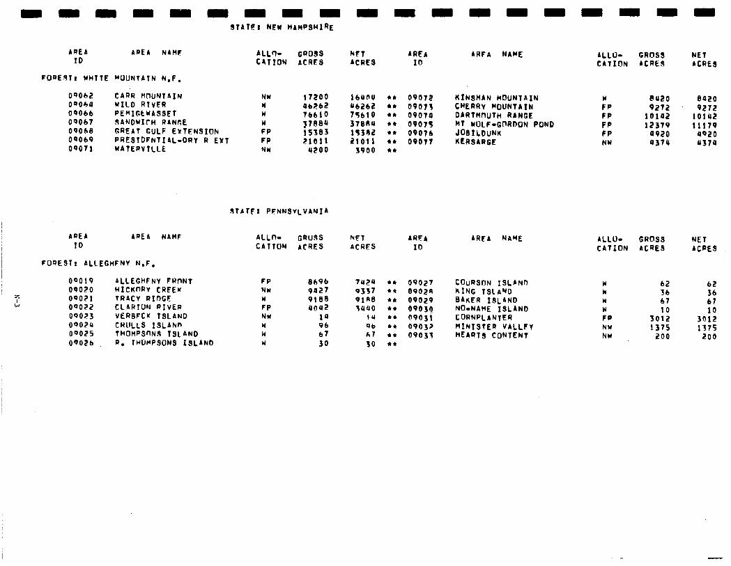
STATE: NEW HAHPSUI~E
AQEA AREA NAME ALL+ CROSS NFT ARFA ID
AREA NAME CROSS NET C4TION ACRES
ALLU- ACRES IO CATION ACRES ACRES
FOQE~TI WHITE MOUNTAIN N.F.
OQOb2 CARR MOUNTAIN NW 17200 1tssnu l * 00072 W OQObU WILD RlVER
KINSMAN MOUNTAIN 8120 0020 W 06262 a6262 l * 09073 CHERAV MOUNTAIN FP 9272 09066 RE~IGtwASSEf I6610 9272 W 75610 +*
09070 09067 dANDW1fl-l RANGE
DAATH~uTH RANGE FP 10142 10142 W
OQObB GREAT GULF EYTFNSION y7eea 37884 l * 09075 MT WOLF-GnRDON POND FP
FP 15303 12379 11179 lq382 l * 09076 JOBILDUNK FP
OS069 PRESTDFhTIAL-DRT R EXT 0920 4920
FP P/O11 21011 l * 09077 KERSARGE 09071
NW WATERVTLLE
03744 4370 NW 4200 3900 l *
STATF: PFNNSVLVANIA
AREA AREA NAHF ID
FOREST! ALLEGHFNV N.F.
00019 ALLEGHFNV FRnNT OPOZO HICKnRV CREEW 09OZl TRACY RIOGF 09022 CLARTUN RIVER oqo23 VERBFCK ISLAND oqozlr CRULLS 1SLANn ooozs tH0HPSflN.s TSL AND OQOZb R. ~uwPsuN3 13~ANb
ALL+ GRCldS NFT AREA ARFA NAME CATION ACRES ACRES ID
FP NW W FP NW w W W
8696 7024 l * 09027 COURS~N ISLAND 9027 9337 l * 09029 KING ISLAND 9188 9lR0 l c 09OZP
4OU2 BAKER ISLAND
34440 l * 09039 NO-NAME ISLAND 14 1u c* 69031 CORNPLANTER 96 96 l * 0903? MINISTER ~ALLEv 67 bl l ,* 09031 HEARTS CONTENT 30 JO l *
ALLU- GROSS NET CATION ACRES ACRES
W 62 62 w 36 36 w 67 67 FP 3012 10 3012 10
NW 1375 1375 NW 200 200
-
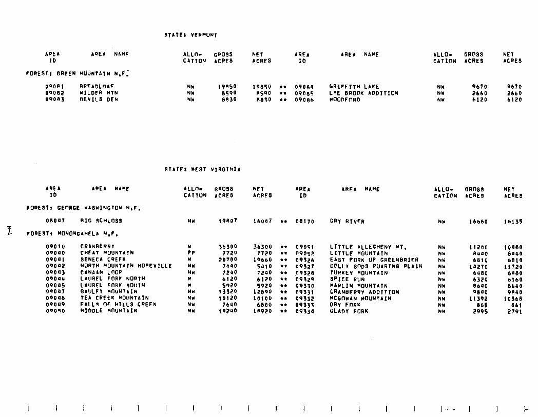
!?tATFl VERMONT
AREA AQEA NAHF ID
~OREJTV GRFEN WJNTATN N.F:
09ORl RREADLtlAF oqoe2 WILDFR BTN oqoo3 DEVIlS DEh
ALLO- GROSS kET AREA CATION ACRES ACRES IO
ALLO- CRC’S3 NET CATION ACRES ACRES
AREA NAME
NW 19nso 19850 l * 09080 GRIFFITW LAKE NU 8590 ASQO 44 09OS5 LVE 0ROOK ADDITION NW au30 A830 44 09OSb WOODFORD
NW 9670 9b70 NW 2660 2bbO NW 6120 6120
STATF: WEST VIRGINIA
AREA AREA NAME ALLn- GROSS ID CATTUW ACRES
FORE817 GEnRGE WASwlwGTOw W.F.
OROQ7 RIG !XQOSS NW 19AO7 z A FOREST1 MONO'JGAHELA N.F.
WET ACRFS
AREA ID
AREA NAME GRnSS ACRES
ALLO- CATICIN
WET ACRES
16007 44 08170 DRY RTvFR NW lbb60 lb135
oqo10 oqooo oqoa 1 OQOO2 09043 OQOUU OQ04f oqoo7 oqoas oqoa9 oqoso
CRANREPRV W CHFAT MOUNTAIN FP SENECA CREFK w NORTH MOUNTATN HoPFVTLLE NW CANAAh LOOP NW LAURFL FORK NORTH W LAURFL FORK SOUTH W GAULFY MOUNT A IN NW TEA CREEK WOllNlAIN NW FALLS TrF HILLS CREEK NW MIDDLE WOUNTAIN NW
36500 36300 l * 09051 7720 7720 l * 09052
ZOTBO 19660 l * 0932b 7040 5910 l * 09327 7240 7200 l * 49520 6120 6120 l * 09329 5920 5920 ‘44 09330
13320 12890 44 09331 10120 10100 44 09332
76440 6800 l * 09335 19’240 lPQl?O l * 09330
LITTLE ALLEGHPNy WT. LITTLF MOUNTAIN EAST FORK OF GRE,ENBRIER DoLLI SODS ROARING PLAIN TURKEY MOUNTAIN SPICE RUN MARLIN MoUNTAlN CRANBERRY ADDTTION MCGOWAN HOUNTAIN DRy FORK GLADY FORK
NW NW hW NW NW hw NW NW NW NW hW
11200 ioa80 RllllO BOUO 6810 b810
10270 11720 6480 6080 6320 6160 PC00 8640 9000 9RUO
11392 10560 eos 061
2995 2791
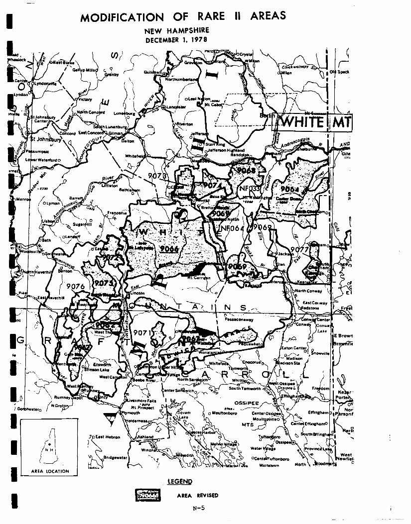
MODIFICATION OF RARE II AREAS NEW HAMPSHIRE DECEMBER 1. 1971
I -I
v -- Y
. --
; dh.st.,,, f N ““p+
1 AREA LOCATION
LEGENQ
AREA REVISED
N-5 1
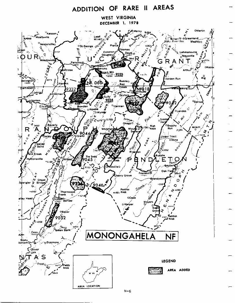
ADDITION OF RARE II AREAS WEST VIRGINIA
DECEMBER 1. 1978
OBrdshy Rim
LEGEND
-L.
-
-
-
-
-
-
-
-
-
-
-
I I I
Social. With significant local exceptions, implementation of the proposed action will result in minor social effects. In Pennsylvania, the proposed action will enhance wilderness-associated symbolic values by preserving, in
I
close proximity to population centers, eight areas that contain wildland values, scenic beauty, and important wildlife habitat; while releasing four areas for nonwilderness uses which were of important consideration to people commenting on BARE II from within Pennsylvania.
1 Pro-wilderness sentiment .for roadless areas in West Virginia was largely voiced by people residing out-of-state whose concern focused on symbolic
1
meaning of the areas and preservation of primitive, dispersed recreation opportunities. These values will be enhanced somewhat by the recommendation for wilderness of Seneca Creek and Cranberry, the two largest roadless areas
1
in West Virginia. Impacts on local community lifestyles, industrial develop- ment, andexistingrecreation use patterns will be minimized by nonwilderness designation of 19 areas.
I I I I I I I I I I
In the Northern Appalachian and New England area, social concern regarding BARE II allocations was perhapshighest invermont. Since the proposed action allocates all areas to nonwilderness, it is anticipated that economic and lifestyle impacts will be inconsequential. But it will have substantial impact on wilderness-related symbolic meaning. Public comment preferring wilderness was based mainly on the symbolic meaning of areas, as indicated by the frequent mention of reasons such as "high scenicbeauty and wilderness value,ll "last chance to preserve wilderness," "areas should be.preserved for future generations," etc. Even though pro-wilderness sentiment was in the minority in Vermont, pro-wilderness response was larger in Vermont than any other area in the northeast.
The proposed action, by classifying four areas out of 13 in New Hampshire as wilderness, may displace some snow machine use onto adjacent areas, but it will generally enhance primitive dispersed recreation opportunities in close proximity to urban population centers. The three largest roadless areas in New Hampshire (Pemiqewasset, Wild River, and Sandwich) are recommended for wilderness in the proposed action. This will protect important symbolic wilderness-associatedvaluesdesired bybothin-state andout-of-state publics. Economic analysis indicates that only insignificant economic impacts will result from implementation of the proposed action. Consequently, adverse social effects on social services, employment, and community lifestyles are not anticipated to occur.
Economic. A summary of economic impacts for the proposed action is presented in the following table. These are national impacts and may or may not occur in the state specified. All state impacts are allocated from the national totals and are based upon state resource changes. They are the state's con- tributiontothenationalimpact. For a completedescription onhowthe impacts were calculated see Appendix W.
I 1 N-7
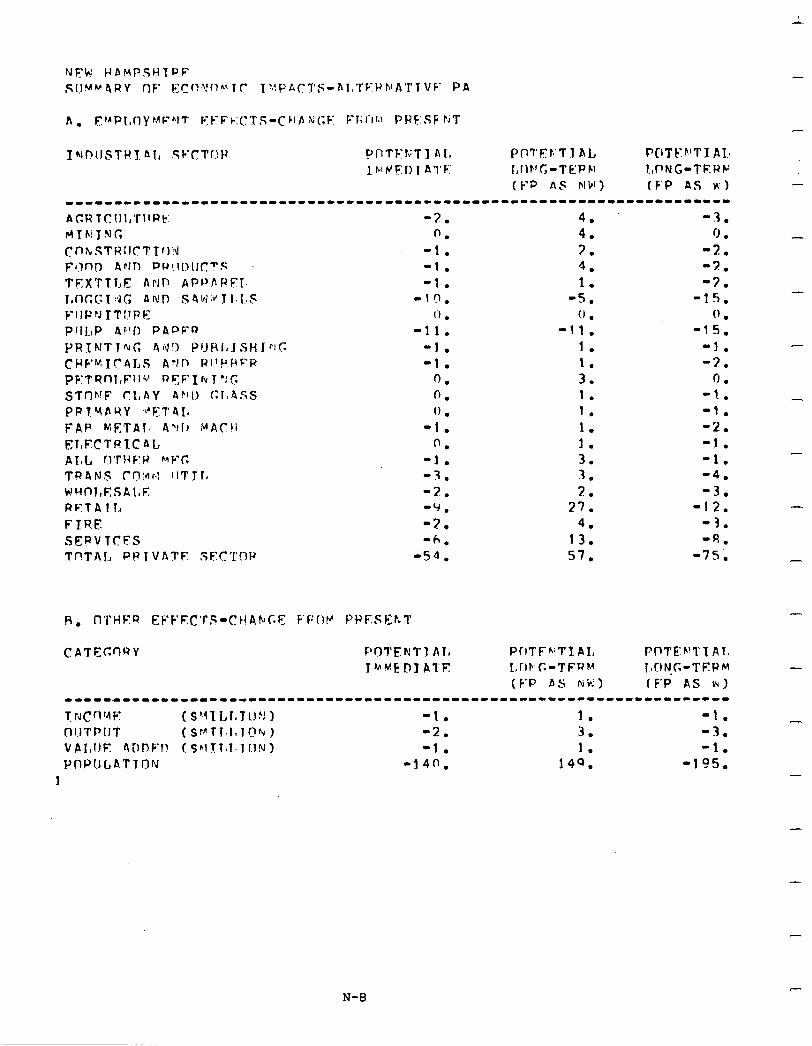
I NDIISTWY. Al, Sc’Ctf!F f’r1TF’KT1 Al, PnTFts’Tl AL F’CITFF’TI AL lhrJ!?l) 1 A’I’F:’ LlIr’CJ-TEPP, !,pNG-TEWF
(l--P AF NW) (F’P AS ~‘1 -----1-----1-11------------------------------------------------------
-3. 0.
-1. -1. -1.
-l(r. I’1 .
-11. -1. -1.
0. 0. 0 .
-1. 0.
-1. -3. -3. -Y. -2. '6.
-54.
4. -3. 4. 0 . 3. -2. 4. -2. 1. -3.
-5. -1s. 0 . 0 .
-11. -15. 1. -1. 1. -3. 3. 0 . 1. -1. 1. -1. I. -2. I. -1. 3. -1. 3. -4. 2. -3.
37. -12. 4. -3.
13. ‘R. 57. -7s.
CATEGnRY POTENT) AI, PrlTFh;TIAI, PnTE’b’T’IAIs J’AMMEOY ATE I,rIF'C-TFUM l.~CINoG-TKPM
(F’P AS r4W) (F’P AS i4) -----*----1~--1------------------------------------------------------
r N c n ‘4 F: (S’4lLr~Tl.1~J 1 -1. 1. -1. (~I.ITPIlT ( $ v T 1. I, 1 !! b ) -2. 3. -3. VAI,IIE r\DPb’l! (~“!.?1,1.1 UN) -1 . 1. -1. Pf1PIICP.TTC1N -140. 149. -195.
1
-
-
-
-
-
-
-
-
-
N-8
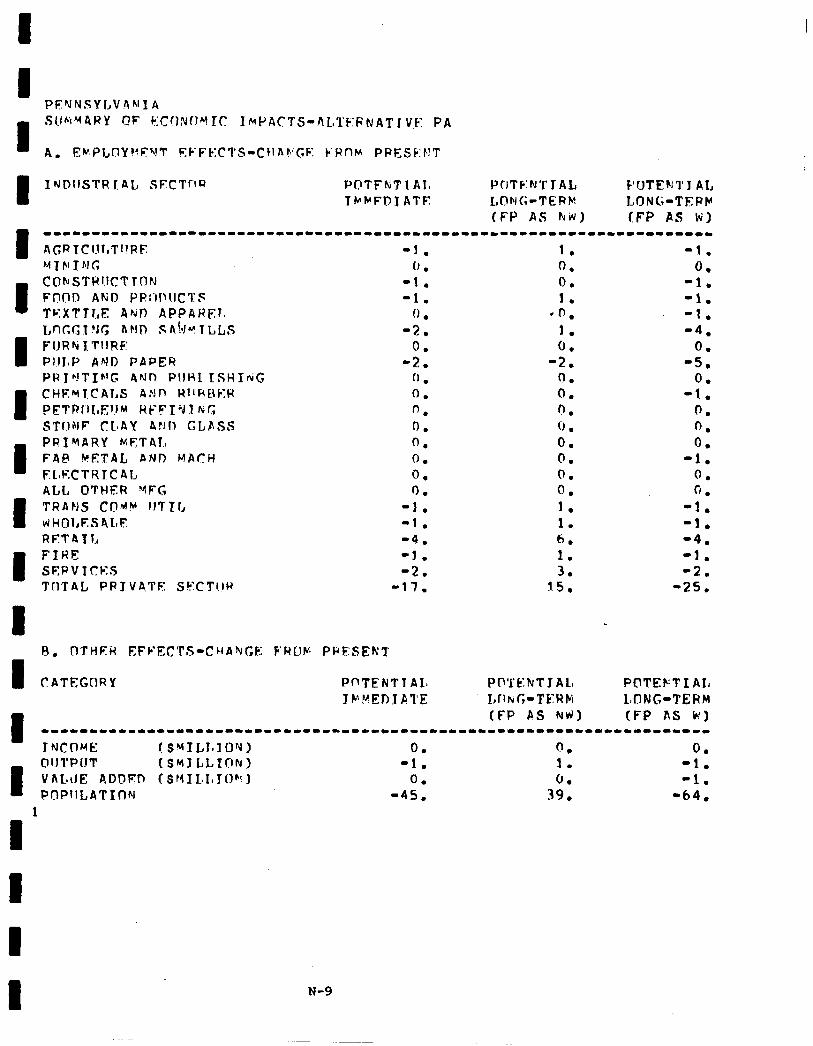
I
I I NDIISTR [AL, SECTOR PI?TFkTlAI, PCITF:NT JAL F’OTE~J1’1 AL TWPFDJATF L,r!bIG-TERM LONG-TEPh’
(F’p AS kiv) (FP AS WI
I
-1-----------------1-------------*----------------------------------- AGRTClJl,Tf!f?F -J . 1. -1. M I FI T FJ G 1, . 0. 0.
I CCJluSTWJ.ICT FnClO AFjO PRr’~l~IlCl:,c TON -1. -1. 0. 1. -1. -1. TKXTTLE ArJn APPAHF.1. (1 . l n. -1. tnc.f;tvr, ~FID sn!dvl~Ls
I -2. 1. -4.
FlJRhi PIlloF’ I TIlRE AND PAPER 0;: -2. 0. -5. 0.
PRfh!TIhlC 4Nr) PI!HL TSHIriG 0 . 0 . 0.
I CHE~fCALS AdI, Wl’HRER PFTRt’lI,E1JM Wl--~IVI &:r, 0. . n 0. 0 -1. 0. STfJNF CIoAY Ar.11) <;LfiSS 0. 6: 0.
I PRIMARY F4P k!ETAL FE.FTA1.o AND MACH 0. 0. 0. 0. -1. 0.
FL~KCTRTCAL 0. 0. 0. ALL OTHER YFG I). 0. fi .
I TRANS vrHOl,F.:s4L~~ COti! IITTL -1. -1. J. 1 . . -1. -1.
RETITI, -4. 6. ‘4. I FIRE SEPV 1cles -J. -2. 1. 3. -2. -1.
TrlTAL PR JVA,TE SECTl.lH -17. 15. -25.
I B. D’J’HEiI EFFECTS-CHAQGE F‘RUF PRESENT
I CATF,GCIRY PnTENTlAIa PO’l’t:hT J Al, POTEKT I AI, Jt-‘ftEDlATE I,IItuUC-TEWPI LIYINC-TERM
1
(FP AS NhfJ) (FP AS W) -----11---1------1--------------------------------------------------- JNCOME I SMILI~IOhl) 0. 0 . 0.
I OIITPUT VhLiJE ADDED ($MIL.L~JO@c) (SMI LLTON) -1. 0. 1. -1. -1. PQPllLATIflN -45, -64,
1
I
1 N-9
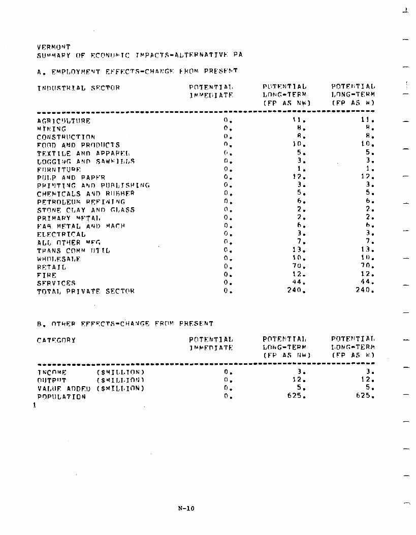
A. FMPLnYMF’UT Ek-FF:CTS-CHA?!Gb: 6 F(QM PRE’SF’FT
TN!,lJSTW.l.eL SF:CTClH PO?‘FNTI 41, Pll?'KNTl AL, J-'r?TJ?f;TX AL IF""FI;I ATE Lt-IN(;-TFPM I,‘-ING-TERM
(FP AS Nk~1 (FP AS WI ------------------cI*----------------------------------------~-------
4GR 1 C!ILTlIRE Mih!INC CONSTRllCTTnN FOnTI ANJI PRODIJCTS TEXTILE ANn APPAPF:I.\ L@CGT%cI AVP S4'dh:II,J,S FIIRN TTilQl;: Pl,JI,P ArJO PAPF:R PWI”!TlVG Abl7 PtJl31,IsWIFJCi CHEbTCALS ANI) RllHHFR PETRULEIJM WEFId J “JJC, STnNF CLAY ANl7 C;J,ASS PRIMPRY wFT41, k-44 METAL A’Gl:, MACH
EL~FCTPTCAL ALC I-IT~IER MFC; TPANS COMM lJl'1.L WHI~J,ESAlrE RETAIL FIRE SFPVTCES 'J'T)Thl, PR IV4TE SJ?CTf?W
0 . 0. (1 . 0. (‘I , 0. 0. 0. 0. 0. 0. 0. 0. 0. 0. 0. 0. 0. 0. 0. 0. 0.
11. H. R.
IO. 5 .-. 3. 1.
1%. 3. 5. 6. 2. 2. 6. 3. 7.
13. 10. 70. 12. 44.
240.
11. S. 8.
10. 5. 3. I.
13. 3. 5. 6. 3. 2. h. 3. 7.
13. 1 (1 . 70. 12. 44.
240.
POTEFTTAI, LOkG-TERM (F-P AS tJW) (FP AS k’)
----1------------1---------------------------*----------------------- T h;cnwc (sYIl~I,lnN 1 0. 3. 3. nlJTPffT ( SUl J,I,lOtJ 1 0. 12. 12. VALilE ADDEll (SMILLIi)N) 0 . 5. 5. P7PIILATION 0. 625. 625.
1
-
-
-
-
-
-
-
-
-
-
-
-
-
N-10

TNf?USTRIAt SECT!!R -PrlTk:NTI ALa l’C1’ft?bJ’J’1 AIt POTEFiTI AL f M’AF:PT ATE: I,f-ft.‘G-TEP’4 MING-TERM
(F’P AS h!W) (FP AS M) --1-----1------------------------------------------------------------ A(;RICIILTIIRF: 2. 26. 35. MTPJTNC 1. 4. 4. C[)NSTPIICTTI~:J 1. R. fl. Frml> AXI wnmtCTs 1. R. 7. TEXTTl,E FhP APPAPKT~ (! . 6. 6. I,ncCCNG 4YI) SAiJMII,l,S -7. 17. 14. FIIWN ITl!Pli n . 1. 1. PlIT,P A:\II) PAPKR 0. 43. 40. PRlN’PI:JC; At;!) PIIHl,TSHINC. 0 . 3. 3. CHEYTCALS P”iL1 t4llHHEP (1 . 6. 6. PETRf7tE:llM REFTV J ?If. 1. 3. 3. STr!irE CLAY hr,llJ c;l,ASS 0. 2. 2. PPI.‘f4RY (nETPI, f! . 2. 2. F4h ‘4F:TAI, Auf) MACH 0 . 7. 6. FLFCTPTCAI, 0. 3. 3. ATo1.n O’l’dEP %‘FG 1. S. 5. TaCItiS CO#M ‘ITT14 1. 1s. 14. dHnLFEAP..E 1. 12. 12. RETATI, 10. 57. 5U. FIRE: 1. 12. 11. SEUVTCES s. 43. 41. Tn’fhl, PRIVATE SECTC)P 21. 27R. 263.
I
I
CATEGnPY Pl~TENTI AL PYl’E~.iTI AL POTEhTIAL rvw7 ATE LrIN~-T!?W~~ LONG-TEHu
(F’P AS IGK) (FP AS p) --I-----------------------~------------------------------------------
1 NCf 1-4: ( SY 1 !~I.IJ(llU 1 0. 3. 3. I)‘ITPIIT (SYIII1,lClhj) 1. 13. 1. 2 . VAI,llE Ai!L’FT, (S~“lLaLXC)fQ) 1. 6. 5.
I I
N-11
54. 726. hA4.
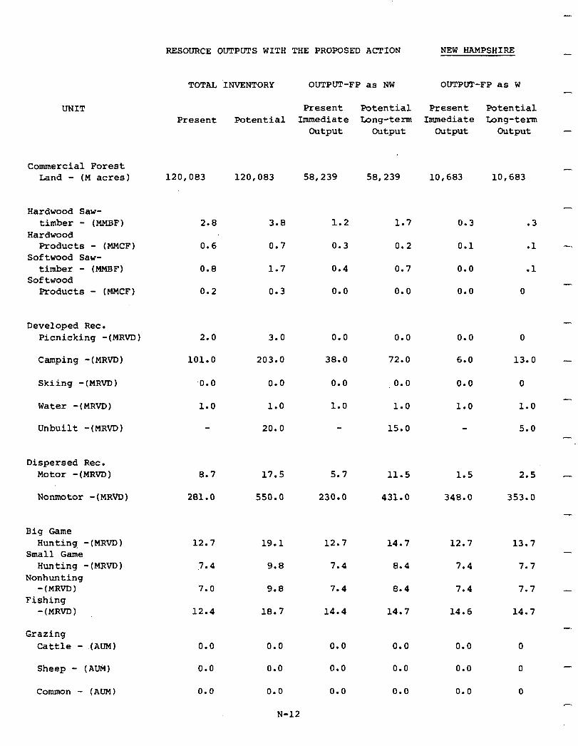
RESOURCE OUTPUTS WITH THE PROPOSED ACTION NEW HAMPSHIRE
TOTAL INVENTORY OUTPUT-FP as NW OUTPUT-FP as W -
Present Potential Present Potential Immediate Long-term Immediate Long-term
output Output output output
58,239
1.2
0.3
0.4
0.0
0.0
38.0
0.0
1.0
58,239 10,603 10,683
1.7 0.3
0.2 0.1
0.7 0.0
0.0 0.0
.3
.l
.l
0
0.0 0.0
72.0 6.0
,o.o
1.0
0.0
1.0
15.0
0
13.0
0
1.0
5.0
11.5
431.0
1.5
348.0
14.7 12.7
8.4 7.4
8.4 7.4
14.7
0.0
0.0
0.0
14.6
0.0
0.0
0.0
UNIT Present Potential
120,083 120,083
2.8 3.0
0.6 0.7
0.8
0.2
2.0
101.0
.o.o
1.0
1.7
0.3
3.0
203.0
0.0
1.0
20.0
Commercial Forest band - (M acres)
-
Hardwood Saw- timber - (MMBF)
Hardwood Products - (MMCF)
Softwood Saw- timber - (MMEIF)
Softwood Products - (MMCF)
-
Developed Rec. Picnicking -(MRVD)
Camping -(MRvD)
Skiing -(MRVD)
Water -(MRVD)
Unbuilt -(MRVD)
-
Dispersed Rec. Motor -(MRVD)
Nonmotor -(MRVTJ)
0.7 17.5 5.7
281.0 550.0 230.0
2.5 -
353.0
-
(MRVD)
(MRVD)
Big Game Hunting -
Small Game Hunting -
Nonhunting -(MRVJJ)
Fishing -(MRm)
12.7
7.4
7.0
12.4
19.1 12.7
9.0 7.4
9.8 7.4
18.7 14.4
-
Grazing Cattle - (AUM)
Sheep - (AUM)
Common - (AUM)
0.0
0.0
0.0
0.0 0.0
0.0 0.0
0.0 0.0
N-12
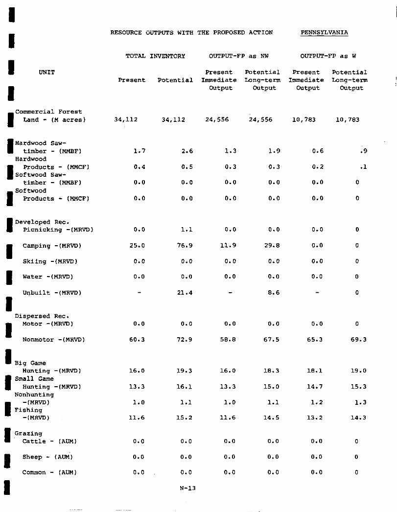
I I UNIT
I
I
Commercial Forest Land - (M acres)
I Hardwood Saw-
timber - (MMBF) Hardwood
I
Products - (MMCF) Softwood Saw-
timber - (MMBF)
I
Softwood Products - (MMCF)
I Developed Rec.
Picnicking -(MRVD)
I
Camping -(MRVD)
Skiing -(MRVD)
I Water -(MRVD)
&built -(MRVD)
1 Dispersed Rec.
I
Motor -(MRVD)
Nonmotor -(MRVD)
1 Big Game Hunting -(MRVD)
I Small Game
Hunting -(MRVD) Nonhunting
1
-(MRVD) Fishing
-(MRVD)
I. Grazing
Cattle - (AUM)
I Sheep - (Ati)
Common - (AUM)
RESOURCE OUTPUTS WITH THE PROPOSED ACTION PENNSYLVANIA
TOTAL INVENTORY OUTPUT-FP as NW OUTPUT-FP as W
Present Potential Present Potential Present Potential
Immediate bong-term Immediate Long-term Output Output Output Output
34,112 34,112 24,556 24,556 10,783 10,783
1.7 2.6 1.9
0.4 0.5 0.3
0.0 0.0 0.0
0.0 0.0 0.0
0.6
0.2
0.0
0.0
0
0
0.0 1.1 0.0
25.0 76.9
1.3
0.3
0.0
0.0
0.0
11.9
0.0
0.0
29.8
0.0
0.0
0.0
0.0
21.4
0.0
0.0
8.6
0.0
0.0
0.0
0.0
0.0 0.0 0.0 0.0 0.0
60.3 72.9 58.8 67.5 65.3 69.3
16.0 19.3 16.0 18.3 18.1
13.3 16.1 13.3 14.7
1.0 1.1 1.0 1.2
11.6 15.2 11.6
15.0
1.1
14.5 13.2
0.0
0.0
0.0
0.0
0.0
0.0
N-13
0.0
0.0
0.0
0.0
0.0
0.0
0.0
0.0
0.0
.9
.1
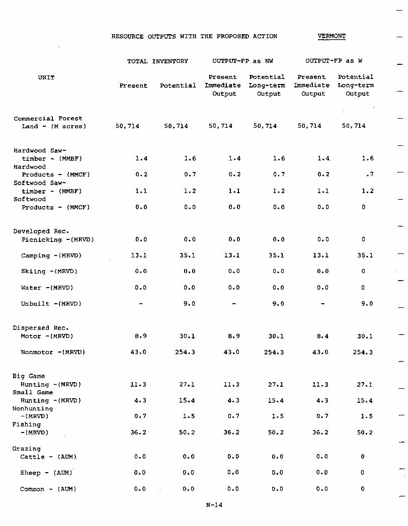
UNIT
Commercial Forest Land - (M acres) 50,714 50,714
Hardwood Saw- timber - (MMBF)
Hardwood Products - (MMCF)
Softwood Saw- timber - (MMBF)
Softwood Products - (MMCF)
50,714
1.4
0.2
1.1
0.0
0.0
13.1
0.0
0.0
50,714
1.6
0.7
50,714
1.4
0.2
1.1
,o. 0
0.0
13.1
0.0
0.0
1.6 1.6
0.7
1.2
0.0
0.0
35.1
0.0
0.0
9.0
.7
1.2
0.0
0.0
35.1
0.0
0.0
9.0
50,714
1.4
0.2
1.1
0.0
0.0
13.1
0.0
0.0
1.2
0
Developed Rec. Picnicking -(MRVD) 0
Camping -(MRVD) 35.1
Skiing -(MRVD) 0
Water -(MRVD) 0
Unbuilt -(MRVD) 9.0
Dispersed Rec. Motor -(MRVD) 8.9 30.1 8.9 30.1 8.4 30.1
Nonmotor -(MRVD) 43.0 254.3 43.0 254.3 43.0 254.3
Big Game Hunting -(MRVD)
Small Game Hunting -(MRVD)
Nonhunting -(MR~)
Fishing -(MRVD)
11.3 11.3 27.1 11.3 27.1
4.3 15.4 15.4
0.7
27.1
15.4
1.5
4.3
0.7 1.5
4.3
0.7 1.5
36.2 50.2 36.2 50.2 36.2 50.2
Grazing Cattle - (AUM)
Sheep - (AUM)'
Common - (AUM)
0.0
0.0
0.0
0.0
0.0
0.0
0.0
0.0
0.0
0.0
a.0
0.0
0.0
0.0
0.0
RESOURCE OUTPUTS WITH THE PROPOSED ACTION VERMONT -
TOTAL INVENTORY OUTPUT-FP as NW OUTPUT-FP as W
Present Potential Present Potential Present Potential
Immediate bong-term Immediate bong-term Output Output Output Output
N-14
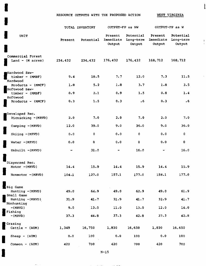
8 RESOURCE OUTPUTS WITH THE PROPOSED ACTION WEST VIRGINIA
8
I UNIT
8 Commercial Forest
8 Land - (M acres)
TOTAL INVENTORY OUTPUT-FP as NW OUTPUT-FP as W
Present Potential Present Potential Present Potential Immediate Long-term Immediate Long-term I
output output output output
234,432 234,432 176,432 176,432 168,712 168,712
8
Hardwood Saw- timber - (MMBF)
Hardwood
8
Products - (MMCF) Softwood Saw-
timber - (MMBF) Softwood
8 Products - (MMCF)
8
Developed Rec. Picnicking -(MRVD)
8
Camping -(MRVD)
Skiing -(MRVD)
8 Water -(MRVD)
Unbuilt -(MRVD)
8 Dispersed Rec.
8
Motor -(MRVD)
Nonmotor -(MRVD)
8 Big Game Hunting -(MRVD)
8
Small Game Hunting -(MRVD).
Nonhunting
8
-(MRVD) Fishing
-(MRVD)
8
Grazing Cattle - (AUM)
8
Sheep - (AUM)
Common - (AUM)
9.4 18.5
1.8 5.2
0.9 2.1
0.3 1.5
7.7 12.0
1.8 3.7
0.9
0.3
1.5
.6
2.0 7.0 2.0 7.0 2.0 7.0
12.0 39.0 9.0 36.0 9.0 36.0
0.0 0 0.0 0 0.0 0
0.0 0 0.0 0 0.0 0
31.0 16.0 16.0
14.4 15.9 14.4 15.9 14.4 15.9
104.1 127.0 157.1 177.0 158.1 177.0
7.3 11.5
1.8 3.5
0.8 1.4
0.3 .6
49.0 64.9 49.0 62.9 49.0 61.9
31.9 41.7 31.9 41.7 32.9 41.7
9.0 13.0 11.0 13.0 12.0 14.0
37.3 44.8 37.3 42.8 37.3 42.8
1,349 16,750 1,830 16,650 1,830 16,650
0.0 100 0.0 100 0.0 100
420 700 420 700 420 700
N-15
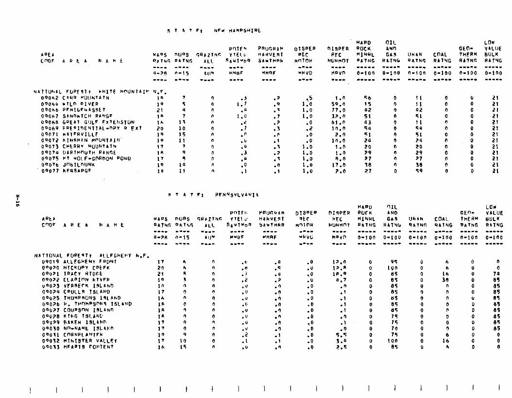
e.s 1.0 1.0 1,o
.O
.2
.o
1:: 1.0 1.0 1.0 1.0
.O
.u 9. 0 .lJ .o .O .O .O .o .o ?O .O .o .O .o
1.n qb 0 I1 0 u 50.0 1s 0 11 0 0 17.0 02 0 02 n 0 32.0 51 n 51 0 0 61 .n 03 0 11 n 0 10.0 54 0 54 0 0
2.0 51 n 51 0 0 in.0 24 0 24 n 0
1.0 20 0 20 n 0 1.0 29 n 29 0 0 A.0 21 n PI 0 0
17.0 38 n 38 0 0 2.0 27 0 59 0 0
--.I
I?.0 1p.n 1n.o
0.7
:: .l
:: .I) .I .')
5.5 5.0 2.5
G 0 0 0 0 0 0 0 0 0 0 0 0 0 0
95 100
a5 85 85 85 85 85 tl5 74 15 70 75
100 85
il 0 0 0 0 9 0 0 0 0 0 0 0 0 u
r,
1:: 38
n n n 0 b 0 0 3 b
lb r,
0 0 0 U 0 0 6
Ii 0 0 0 0 0 0
00062 C&RR VUllNTATN 1n 7 ooobrr I*rLn OIVER 10 5 090kb PFHIGFhASJtT 21 4 0~067 SANnhTCH RbNGF la 7 69008 GoEAT CIJLF FiflEt~sTLiN 163 11 OoOb9 CRE!InENTIAl-DRY II Exl 20 10 09071 wAl=RVILLF 10 15 09072 kT~st4d~ M'-UNTA1N 10 11 09073 CWcQRV WWNTAtlu 17 7 0907U I~APllrnl~Tk! RlNGt 1A 0 09075 VT WOLF-GllRnDN POND I7 9
oeO7b JnbILnUNK 19 1U 09077 hFRSAPGf 10 lf
21 21 21 21 21
5; 21
5: 21 21 21
9 7 4 T F: PFN~SvLvANI 4
rwcrfdti HbkVEST YA*TnaR
.a
.q
.u
.p
.n
.n
.a .n .3 .') .n .3 .l .1 .n
n n n n n ? n n n 0 n n n a n
NATTONAL FljnEQT, ALLFGMEF'Y k.F. 69019 Al.LFGrENV f RON1 17 A OaO?O IiTCMIY’V CPt.FK 2n r, OOU21 TRACY WTDFt 21 n OQoZ2 CLApInN klVFR 10 3 UOU?3 VFRREfK ISLSNO in n 090?4 COulLlr TsLA+fD 17 0 00~25 TWJ'4P!WNS 191 AhO 1A n
OQO?b R. TWhf’SM9 1st ANJD 1F 0 090?7 COuDSnN IALANn 1R n OQu2B Kl-hG TSlANC la r) UQUZP PAKER ISLAM’ 17 0 UOO3U Nn-NAW ISLam 1’ 0 00031 CnRNPL A'JlFk 10 0 09032 MlhISTEQ VALLEf 17 10 09033 tIFAaT9 rDt’TFNT 16 15
0
0 74 85 as 85 05 85 85 85 05 85
0 0 0
1 I
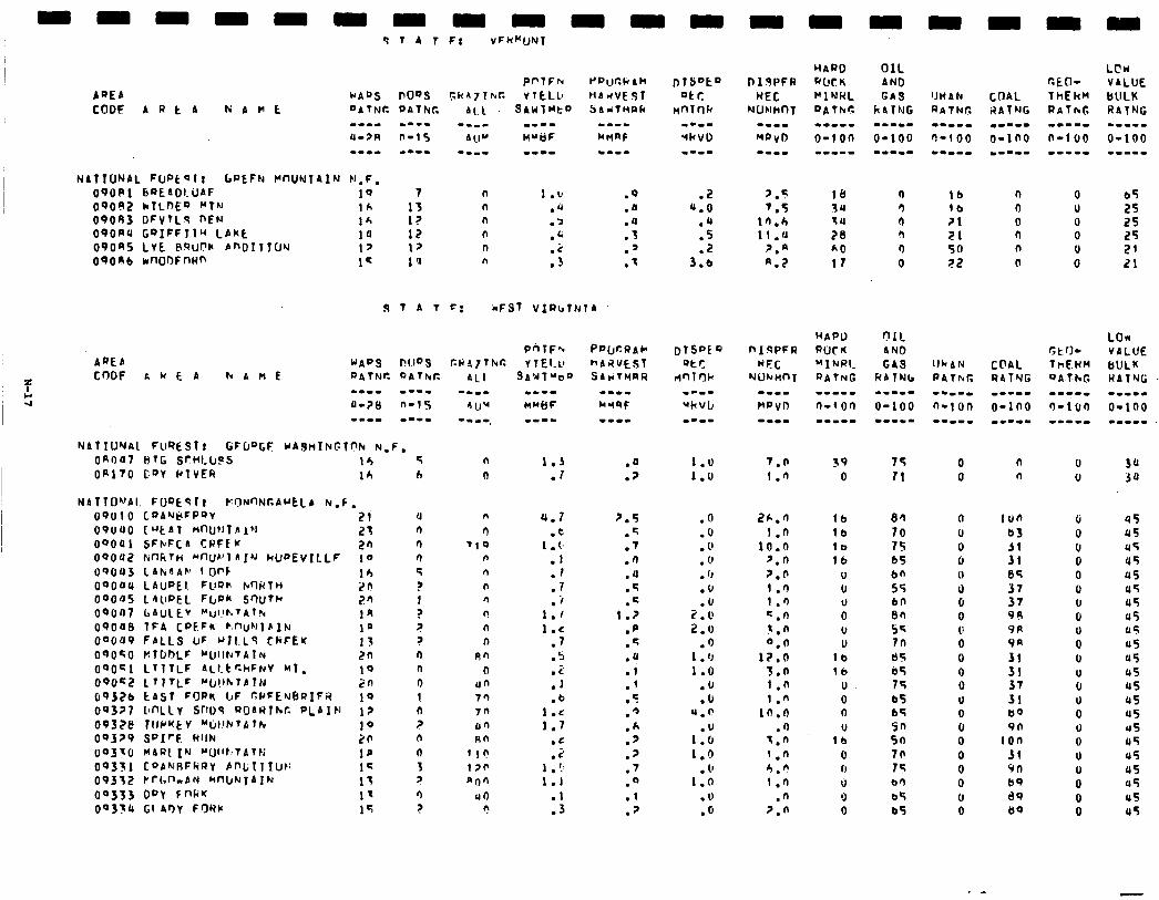
NATIONAL FUPtQl T GPEFN MIWNTAIN N.F. 09OPl bQEAOl.UAF 1Q 0'?0#2 kTLnE9 "TN lh 09083 DFvTLs nEN 16 090RU GQIFFllu LAkt 10 090as LYE ~ww bno~~lw 17 090ab m00Fnw 1c
1:
n 1.b n .4
I? n .> 12 n .C I> n .c 1 '1 n .3
.Q
.n
.a
.3
.’
.I
9 T 4 I c: iFST VlRcTNlA
On047 l3TG SrHLClPS Ir, ofi COY ktvER 16
u n n 9 5
z 1 ¶ i ? n n
9 I n 7 n
0 3 7 9 ?
SAUT~D~)
1.3 .I
4.7 .e
1 .c .l .I .7 .i
1.1 1.c
.7
.s
.z
.I
.b 1.C 1.7
.C
.i 1 . !, 1.1
.l
.3
7.5 7.5
In.6 11.4
2.n a.7
7.0 1.0
26.0 1.0
10.0 '.O 7.n 1.0 I.0 C.n 3.n 0.n
l?.O 3.n 1.n 1."
in.0 .I)
q.n 1.n h.? 1 .n
.n 7.0
LCW VALUE bULK RATNG -II-m
o-100 .I---
lb n 0 65 lb I-J U 25 21 0 0 25 Zl n 0 25 50 n U 21 72 0 0 21
0 0
0 U 0 u 0
0 u 0 0 0 0 0 0
: 0 0
0 0 0 u 0
0 0 n U
100 (r b3 0
i: 0 0 85 0 37 0 37 u 94 0 9A U 9R 0 31 u 31 U 37 0 31 u 60 0 9n 0
ton 0 31 u 9n U 89 0 89 0 L)O 0
30 3u
45 45 45 45 us U5 45 u5 45 a5 u5 45 45 u5 u5 US 45 U5 45 45 u5 45
. -

-L
-
-
-
-
-
-
-
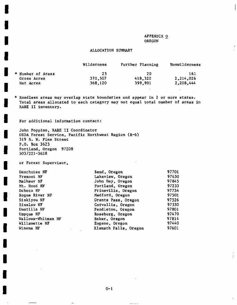
APPENDIX 0 OREGON -
ALLOCATION SUMMARY
Wilderness Further Planning Nonwilderness
Number of Areas 25 20 161 Gross Acres 370,507 418,320 2,214,026 Net Acres 368,120 399,901 2,208,444
Roadless areas may overlap state boundaries and appear in 2 or more states. Total areas allocated to each category may not equal total number of areas In RARE II inventory.
For additional information contact:
John Poppino, RARE II Coordinator USDA Forest Service, Pacific Northwest Region (R-6) 319 S. W. Pine Street P.O. Box 3623 Portland, Oregon 97208 503/221-3628
or Forest Supervisor,
Deschutes NF Fremont NF Malheur NF Mt. Hood NF Ochoco NF Rogue River NF Siskiyou NF Sluslaw NF Umatilla NF Umpqua NF Wallowa-Whitman NF Willamette NF Winema NF
Bend, Oregon 97701 Lakeview, Oregon 97630 John Day, Oregon 97845 Portland, Oregon 97233 Prineville, Oregon 97754 Medford, Oregon 97501 Grants Pass, Oregon 97526 Corvallis, Oregon 97330 Pendleton, Oregon 97801 Roseburg, Oregon 97470 Baker, Oregon 97814 Eugene, Oregon 97440 Klamath Falls, Oregon 97601
o-1
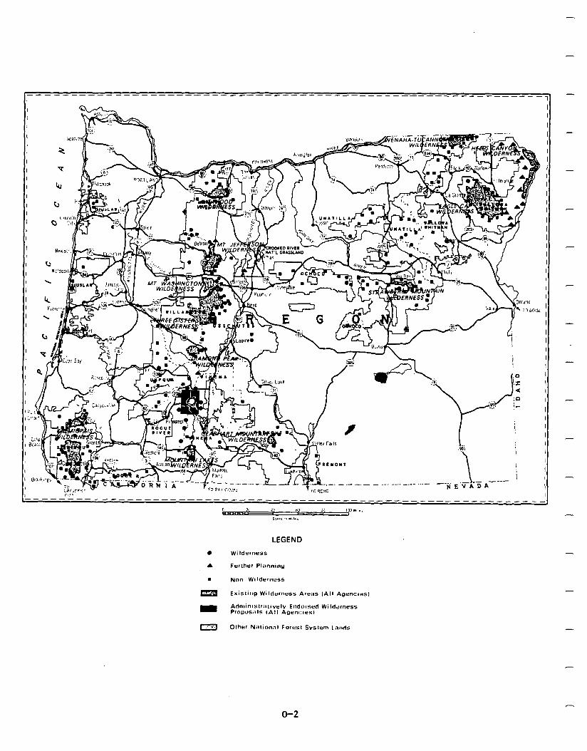
-
_---_----- --_----------------------------------------------- 11
-----L---------------------- I ---------------------------------
” Q5u2(
i.. “1 p; ,3.‘m.s, 1
s:.,” - “,I..
o-2
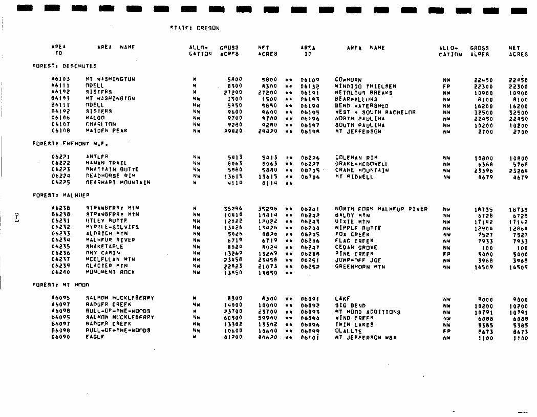
AREA AREA NAHF
TO
A6103 A6111 A6192 B6lr)J 86111 86192 06106 06107 061fi8
Ml UAS~INGTUN ODELL 9ISTFRS MT WASHINGTON nOELL SIBTSR% UAlOn CHAR[ Tt-lN hAIDEh PEAK
FOREJT! FREHONT N,F. 06221 ANTLFR NW 06222 HANAN TRAIL NW
06223 RRATTATN BIJTTE NW 0622a nEADHOf?SE RIM NW Oh225 GEARHART MlUNTAIN w
FOREST! hAL HUER
9TATFl OREGON
A6238 STRAWGERRy HtN 06238 ST9AUBFRRy HTN 06231 IllLEv RUTTF 062f2 “VRTLE-SILVIFS 06233 ALDRTCH hfN 06234 YALHFUR RIVER 06235 ShAKFTAl3LE 06236 DRV CARIN 06237 RCCLFLLAN MTN 062S9 CLACTER YTN 06200 HONU”ENT ROCK
A6095 9ALMCtN HUCKLFSFRPT A6097 RADGFR CREFK A6098 RULL-OF-THE-WOODS U6095 9ALMOh HUCKLFBFARV 06097 RAnGF.R CREFK 06098 RULL-OF-THE-WOnDS 06090 FACLF
ALLn- CATTO’J
w w W NY NW NW Y* NW NW
w NW NW NW NW NW NW NW NW NU NW
GQOSS ACRFS
NFT ACRES
AREA ID
SROO 5800 l * 06109 8300 A300 t* 06133
27200 27200 l L 06191 1500 1500 l * 06193 5R50 5850 l * 06190 9600 9600 *I 0619S 9700 9700 .+ O6196 9280 92AO l I 06197
29020 29ll>o l * 0619R
sai3 8Ob3 SR80
13615 4114
Sal3 kc 8063 t* 5890 tt
13615 l *
ailu t*
06226 COLEMAN RIG nb227 DRAKE-HCDOKELL 06705 CRANE MOUNTAIN 06706 hT RIDwELL
35296 ioaia 12022 13426
5026 6719 802u
13269 23asS ?2R23 13nso
35296 l c 1nu1u l * l?UZL l * lla?b l *
OS>b l * 6719 l * no24 l *
13269 l * 2JU58 l c
21073 l *
11850 l *
OLEa¶ ob242 n62a3 06200 Ob?oS 062a6 062a7 062ay 06251 06PS2
as00 1 uooo >3700 60500 13382 10600 41200
4300 l t 06091 iaoao *I 06092 23700 *a 06093 59900 l * 0609Q 13302 l * 0609b 106no l I 06092 On620 *II 06101
ARFA NAME
cOwwOaN WINDIG THIELSEN hElnLTU9 BREAKS BEARKALLOUS BEND RATERSHED WEST + SOUTH RACHELOR NORTH PAUL INA
SOUTH PAuLINA hT JEFFERSON
NORTH FnRK hALHEUR RIVER YALDY HTN D!xTc: hTh NIPPLE RuTTE FOX CREEK FLAG CRFEK CEDAR GROVE PINE CRFEK JUMP-nFF JOE GREENHORN HTN
LAKF BIG BEND hT WOQD ADDITIONS WIND CREEK TWIN LAKES ~LALLTE MT JEfFPRSON WSA
ALLO- CATInN
GROSS ACRE3
NET ACRE3
NW 22U50 22050 FP 22300 22300 NW 10900 10900 NW 8100 8100 NW 16200 16200 NU 32500 32500 NW 22450 22050 NW 10200 10200 NW 2700 2700
NW NW hW NW
10800 10800 6368 5768
23396 23260 Ob79 4679
NW NW NW NW NW NW
;i NW NW
18735 18735 6728 6728
illa 17102 12904 12PbU
7527 7S27 7933 7933
100 100 5400 5000 3968 3968
16509 16509
NW 9000 9bOO NY 10200 10200
NW 10791 10791 NW 6008 6088
;:: 5385 8673 S38S 8673 NY 1100 1100
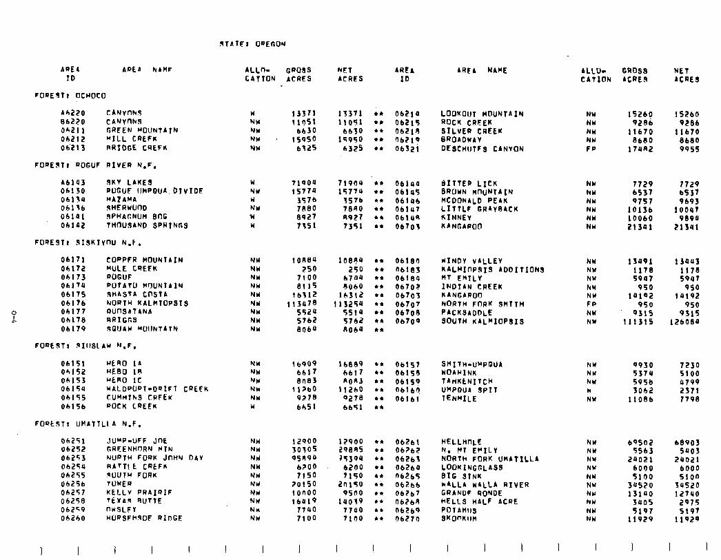
AREA APEA ElAMF ALL+ GPOSS NET ARCA ID CATION ACRES ACRES ID
rOREJft OCWOCO
Ah220 CANytlhd 86220 CANYnhS Oh21 1 GRFEN MOUNTAIN Oh212 “1LL CREFK 062I 3 RRIDGE. CREFK
u 13371 13371 NW t lb51 11051 NW 6630 6630 NW IS950 15950 NW 6325 b325
062la LOOKOUT MOUNTAIN 06215 ROCK CREEK 3621R SILVER CREEK 0bZl9 BRQADWAY 0632; DESCHIJTFS CANYON
FORESTr ROGUF RIVER N.F.
Ah143 9KY LAKE9 06130 POGUF IJWPQUA. DIvIDF 06174 MAZAMA OblTC dHERUlJO0 06141 SPHAGNUM BflG obla2 THOUSAND SPRINGS
w NW u NW w Y
71004 71904 15774 15774
357b 3576 7880 7890 8927 8927 7351 7351
061ua @ITTEa LICK 04145 BROWN M-IuNTAIN OLltlI MCDONALD PEAK 06147 LITTLF GRAYRACK 0614R KINNEY 06705 KANGAROO
FORE3lt SISKIrnu N.1.
06171 COPPFR MOUNTAIN NW 1 ORB4 108A4 Obl72 MULE CREEK NW 250 250 Ob173 ROGUF NW 7100 6704 06174 POTATU WYUNTAIN NW 8115 6060 06175 SHASTA COSTA NW 16317 16312 06176 NORTH KALHTOPSIS NY 113478 113254 Obl77 IWflSATANA NW 5524 5514 Oh178 RPIGCS NW 5762 5742 06179 1901JAW WIJNTATN NW 866a 8064
06183 WINDY VALLEY NW 13091 13043 06183 KALMIOPSIS ADDITIONS NW 1178 1178 Ob184 fit EMTLY NW 5907 5947 0670~ INDIAN CREEK NW 950 950 06703 KANGAROD NW 14102 14192 06707 NORTH FORK SMITH FP 950 950 OL708 PACKSADDLE NW 9315 9315 06709 SOUTH KAL~IOPSIS NW 111315 126089
FORESTt .sIllSLAW N.F.
06151 HERO 1A NW I6909 Oh152 HERO 1R NW 6617 Oh153 HERO 1c NW 8n83 06154 ~ALDWRT-D9IFl CREFK NU t l?bD 06155 TUMf4IkS CRFEK NW 9278 06156 ROCK CREEK u 6651
RORJ 11260
9278 bb51
Obl57 Sf’ITti-W’PQUA NY 9930 7230 06158 NOAHINK NW 5374 5100 06159 TAtlKENITCH NY 595& u799 Obl6? UHPOUA SPIT N 5062 2371 06161 TENMILE NY 11086 7798
FOQLST! UHATTLL A N.F.
06251 JU”P-UFF JOE 06252 GRFENHCIRN MTN 06253 NORTH FORK JnHw nAY oh25a RAfTI t CRCFM 06255 RUTH FORK 06256 TWER 06257 KELLY PRAIQIF 06258 TEXAs 4UtTE 06259 nwSLFY 062bO HORSFhqOF RIDGE
NW NW Nlrl NW NW NW NW NW NW
12900 30305 9589a
b?OO 7150
20150 t on00 16419
7740 7100
12900 29885 35394
6200 7150
2nt50 oilI0
lUO39 77uo 7100
Ob261 HELLHnLE NW 06762 N. YT EFILY NW 06263 NORTh FORK UMATILLA NY 06264 LOOKINGCLASS NW fib265 BIG aINK NY 06266 ~ALLA WALLA RIVER NW oha GRANDF RONDE NU 062bA HELLS nALF ACRE NW
Ob269 POT AMIJS NW 06270 SKW’KllM NW
1 I 1 I I I I I
AREA NAME ALLU- GROSS NET CATION ACRE9 ACRES
NW 15260 1 S260 NH 9206 9286 NW 11670 11670 NW 8680 8680 FP 17Un2 995s
NW 7729 ?729 NW 6537 bS37 NU 9757 9693 NW 10136 lOOUT NW 10060 9894 NW 21341 213Ul
68903 5003
2uo21 bOO0 5100
34520 12740
2975 5197
11929
I
69502 5563
20021 6000 5100
34520 13140
sues 5197
11929
I I
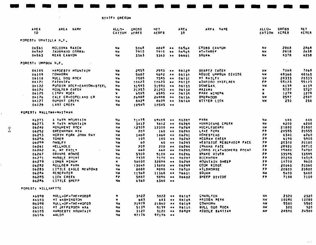
nnnnn
AREA AREA NAM
nnnn
STATF: IJREGON
ID
FORESTI UHATILLA N.F.
06561 AOLOGNA AASIN NW 5068 a849 l I 06564 CROSS CANYON NY 2868 2868 Oh562 JAUSJAUD CnRRAL NW 7910 7910 l * bbSb5 NT-THREF NW 2818 2638 Oh563 REAR CANYbN NW 3363 33b3 LI 06601 SDUAk NU a378 a258
FOREST, UHPQUA N.F.
06.105 HARDESTY M-lUNTA~N 06109 rOYHnRN 06110 RULL DOG ROCK 06121 FAlRVIFk 06122 PUODIN ROCK’-CANTON-STEEL 06124 ROULnER CHFEK 06125 LIMPV ROCK. 06126 CALF CR-COPE1 AND CR Oh127 OlInoN CREFK 06128 LAST CREEK
NW NW Nk NW NW NH Y NW Nk: NW
FOREST1 WALLnWA-WHITMAN
0
L
A6273 A TwIN HCWT~IN NW 06273 A TwTN HnUNTAIN NW 002~0 WNUcIENT RnCK NW
06252 GREENHnRN WIN NW 06253 NORTH FORK JnHN DAV NW 06256 TOWER NW 06259 nw3LFr Nh 06261 HELLHOLE NW
06262 N. MT EMILY Nh 06267 GRANnE RONDE NW oh271 MARBLE. POINT r;cW Oh279 LOWER MINAlr w Ob2R2 AClULnER PARK NW 06283 1 ITTLE EAGLE MEADOWS NM Ob2nU RESERVOIR NW 06285 LICK CREEK FP 062nb LITTLE 3HEEP NW
FOREST8 WILLAHFTTE
A6098 RULL-OF-THE-WOODS Ah103 Ml wASHINGTDN 86098 RULL-OF-THE-WOnDS 06101 MT JFFFERSON NSA 06105 HARDESTY MnUNTAIN 06106 WALDn
w W NW NW NW NW
AlLo- GROSS NFT AREA CATION ACRES ACRFS IO
2555 5682 7585
t 0623 31593
';:z: ;?b988
8029 lOfU5
755s 5on2 75AS
ltlbE3 31593 21253
658s 26988
su29 low5
06129 QUART7 CREEK NW 7068 7068 06130 ROGUE UwPDU4 DIVIDE hW 48368 48368 06131 MT RAILFr w 20333 20333 06132 NINDIGO THIELSEN FP 55123 55123 06133 DONEGIN. NW 6139 6139 06134 HAtAt4A w 5727 5727 06135 PARK WINEMA w 1279 1279 06136 SHERhO NY 2597 2597 06100 BITTER LICK kbl 230 230
71078 b’)uOS 3012 3012
12300 12300 200 lb0
1060 1460 100 100
60 60 700 200 660 660
5500 5100 7330 7170
3aooo 328fi4 13040 13000
8080 non0 11560 11360
St380 58nU 6360 b3bO
06287 PARK 06288 HURRICANE CREFK fib289 HUCKLEBERRY 0629? LAKE FORK Ob29i HOMESTEAD ObZQ;? 0629i
MCGRAU CREEK WESTSTDF RESERVCrIR FACE
06290 I~NAHA FACE 06295 LORDS FLAT-SOWER9 POlNT 0629b SNAKE RIVER 06297 BUCKHflRM 06299 MOUNTAIN SHEEP ObZ99 COOK RIDGE 0650n NILDHQRSE ~6601 SWAW 06602 3HEEP DIVIDE
'::: 21978
5139 3120
97176
3022 603
218hU 5139 3120
97176
06107 CHARLION NW 2320 2320 0410R MAIDEN PEAK NW 10080 10080 06109 COWWORN NW ssoo 5soo 06110 3ULL DOG ROCK NY 320 320 06929 HIDDLE SANT I AM NW 29500 24soo
ARFA NAME ALLO- GRfJSS NET CATICIN ACRES ACRES
NY NY
:: FP FP FP FP FP FP FP FP FP FP NW FP
bU0 bU0 6200 6200
21800 21800 2os55 2osss
6300 6260 6190 so00
20300 20100 28920 28710 75800 74700 33595 33595 20230 lb310 1~700 9bO0 20060 20060 20800 20800
5900 so00 7100 7100
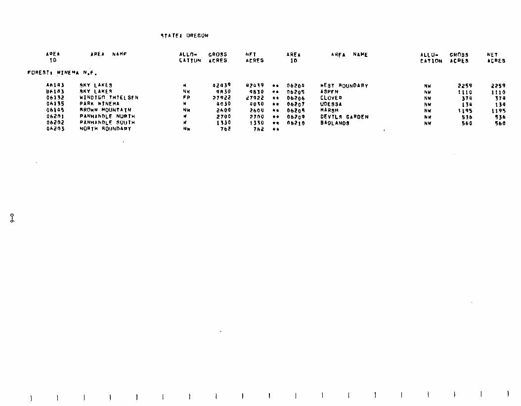
9TATEl OREGON
AQEA APEA NAMF ALL+ GROSS bFT AREA 10 CATTUY ACRES ACRES ID
FORESTI WINEHA N.F.
AL103 JKV LAKES w 0243Q 42ll39 l I 06aoa kEsr ROUNDARV tl6103 SKY CAKES NW 91130 0830 l * 06105 ASPFN OIlJZ biINDTr;n THTEL SFN FP 27922 27922 l * Ob204 CLOvEa 06135 PARK kINEnA W 9030 0070 +c 06107 UDESSA 06105 RRflnN MOUNTAIN NW 2000 2600 l * 06208 HARSH
OIZOl PAWAhDLE NUPTH W 2700 2700 l * 06209 DEvTLS GARDEN 06202 PANHANO~E SUUTH W 1330 1330 +* o6Elo BADLANDS 06203 NORTH ROUNDAPV Nh 762 7bZ l *
I I
AtiFA NAME ALLU- GROSS NET CATION ACRES ACRES
NW NU NW NW NW NW NW
2259 1110
374 134
1105 536 560
2259 1110
379 134
1195 5J6 560
I I I
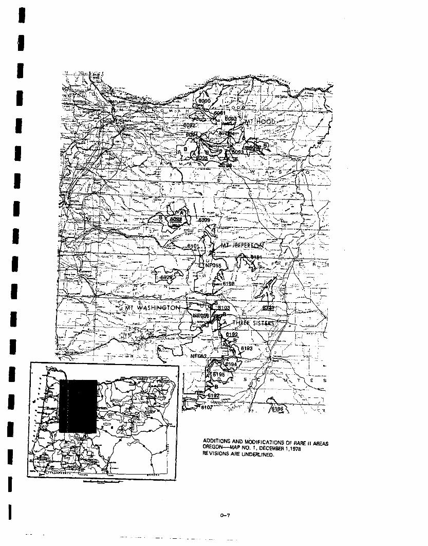
ADDITIONS AND MODIFICATIONS OF RARE II Al7FA-Q YlEGON--MAf’ NO. 1, DECEMBER 1.1978
-
IEVJSIONS ARE UNDERLINED.
o-7
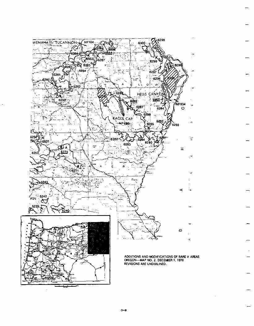
-
u -*1
ADDITIONS AND MODIFICATIONS OF RARE II AREAS DREGOK-MAP NO. 2, DECEMBER 1, 1979 REVISIONS ARE UNDERLINED.
-
-
-
O-8
-
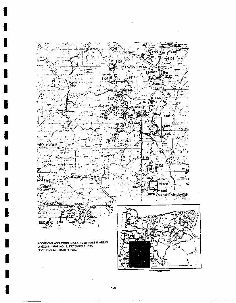
‘$. : .:‘.I.
ha..
.* ,.:
ADDlitONS AND MODIFICATIONS OF RARE tt AREAS OREGON-MAP NO. 3. DECEMBER 1 ,I 979 REVlStONS ARE UNDERLINED.
o-9
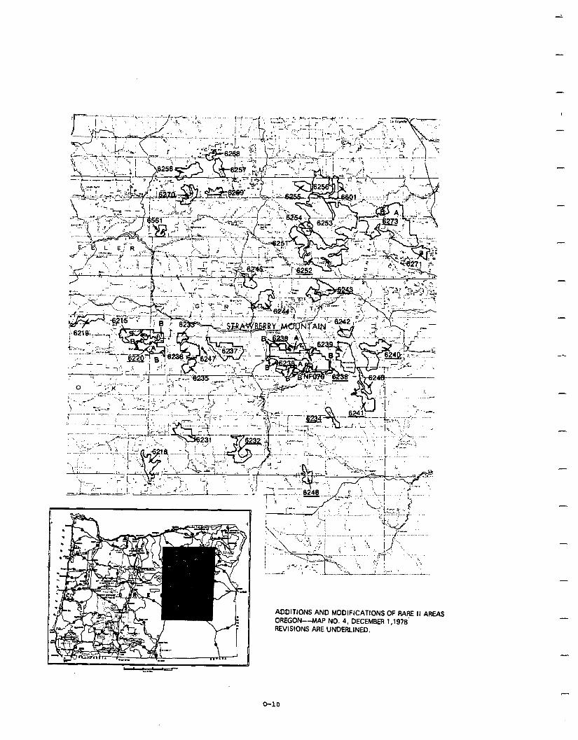
i.
ADDITIONS AND MODIFICATIONS OF RARE II AREAS OREGON--MAP NO. 4. DECEMBER 1.1979’ REVISIONS ARE UNDEfLINED.
-
-
-
-
-
-
O-10
D I 1 I I I I I D I 1 0 D I I I D D I
Social. Allocations in the proposed action are not likely to result in any serious adverse social effects. Bather, allocations should resolve public concerns over recreation opportunities, compatibility of uses, resource values, community economic impacts, and symbolic importance. In addition, housing, transportation networks, social services, and com- munity identity will not be affected on a statewide basis.
Under the proposed action, every National Forest in the state, except the Umatilla, will have an area recommended for wilderness.. The majority of wildernessadditionswerewilderness studyareas fromBABE Iandtherefore out of the timber base. As a result, effects on harvest levels and dollar returns should minimize negative economic effects on communities. Nonwilderness allocation of areas previously designated as wilderness study areasshouldprovide additional timber andrecreation opportunities.
Wildernessallocationof Siskiyou, Limpy Pock,Mazama, Park Winema, Sphagnum Bog, Thousand Springsrand SkyLakes (MinusPelicanButte), allin southern Oregon, could strongly affect residents' sense of local control since they were supported for nonwilderness by many local citizens and many local electedofficials. Wilderness allocation will also restrict oppor- tunities fordeveloped and motorized recreation in these and other areas, but deletion of the Pelican Butte area from Sky Lakes will provide for existing and potential future developed uses. Wilderness designation of Umpqua Spit will restrict motorized recreation activities.
The proposed action will enhance wilderness-related symbolic meaning of many individual areas, it will provide for continuation of primitive, dispersed recreation opportunities , and by classifying areas adjacent to existing wilderness, will enhance the compatibility of uses of these areas.
Economic. A summary of economic impacts for the proposed action is pre- sented in the following table. These are national impacts and may or may notoccurinOregon. Allstate impacts are allocated fromthe national totalsandarebasedupon state resource changes. They are Oregon's contri- bution to the national impact. For a complete description on how the impacts were calculated see Appendix W.
o-11
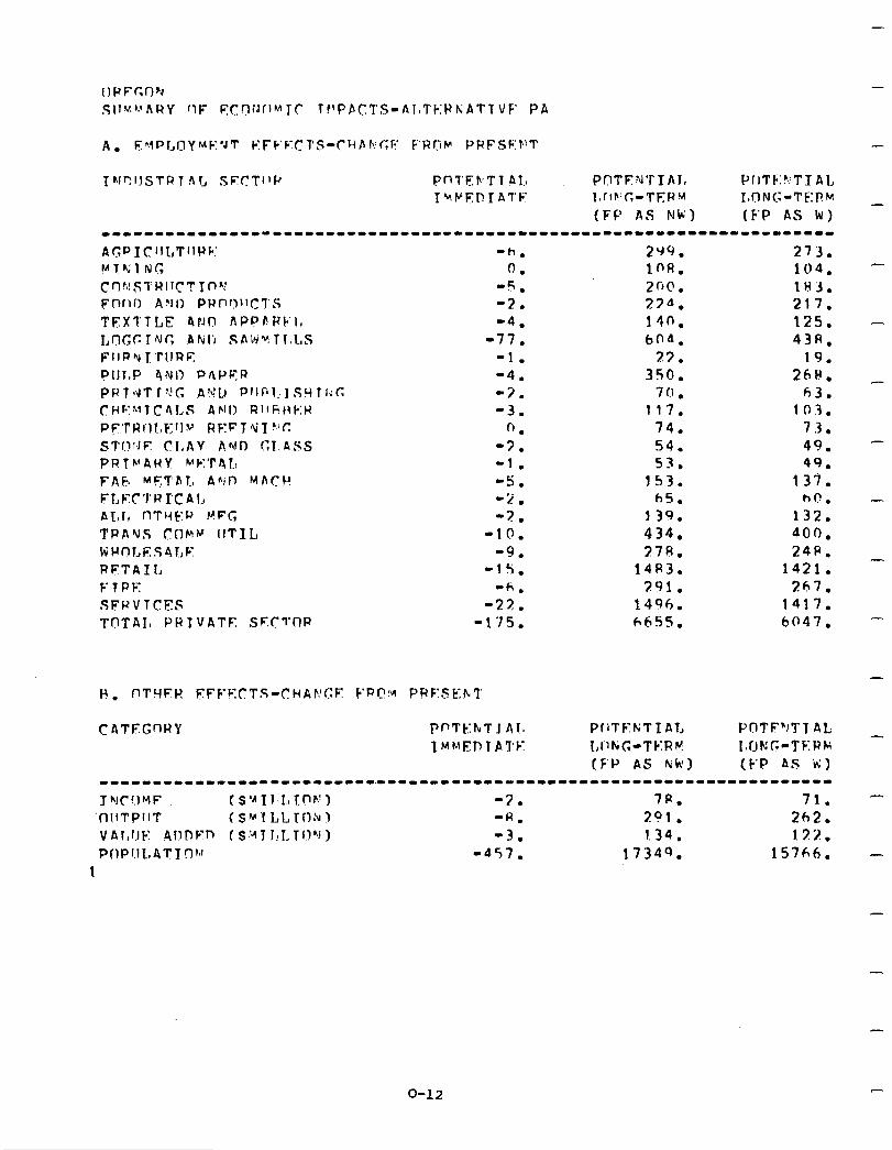
TNT!IlSTPT Ar, SF.STIlI' Pn'l'EFTl P1.a PC1TF:M’l’IAJ, PIiTF:?:TI AL
I~PEP,IAl'F l,rlb’C-T~f?M J,ON(:-Tt;:f?M _
(F‘p AS Nb’) (E-P AS kl) --------------------------------------------------------------------- A(;PIC~IL,T~IF)~~ ‘h. 2Y9. 273. MlKlNG 0. 109. 104. - Crl!~!STWlr~TTnr -5. 2fJO. lH3. Fnr10 A'JI) PHt-'QllCl'S -2. 27“. 217. TEXTTLE 4rJn APPfiVk.1, -4. 140. 125. - I,tT~CTNfi JiNli SAI~JUTI~LS -77. 6na. 43R. FIIR’ul.‘rllR~ -1. 77. 19. Pill,P 4NI) P/\PFR -4. 350. 261(. _ P P T 19 T r p.’ c. F VI.) P 1 I I; 121 S H 1 Ii c: -3. 70 l 63. (IHF:YlCr\l,S AND RIfF!tIk:H -3. 117. 103. P~‘f’Rill~~~lw RKFT pti1 r;c; 0. 74. 73. STl!!.JE (71,AY AND CT.ASS -7. 54. 49. - PRTk(4HY MkIT4L: -1. 53. 49. F A F MET 4 1.0 A fi! 1) M A C I! -5. 153. 13i. FLEC'I'HI'CAL -2 . h5. hC. - ALI, nTMt:a PFC, -7. 139. 132. TF’AVS (1flMk’ IITIL -10. 434. 400. k l-f n 1, E s 4 I, F -9. 27R. 24P. RETAIL -1s. 1483. 1421. - FTPE '6, 291. 267. SFPVTCEF -27. 1496. 1417. TllTAI, PPTVATE SFC7'CIP -1’15. 6655. 6047. -
ChTECnRY PnTb.:hT J Ala PfiTF1KTIA1, POTF”JTT At; _ IM~~ET~TAI’E I,llFiG-TC:RV IaflKG-TF:PM
(F’JJ A5 Nk) (k’P AS ii) ---1-----11--------------~-------------------------------------~----- JhlC!.)YF tsu~r.~~rnr.!) -3. 7R. 71. -
‘t-lIITPIIT (SMTLLTnru) ‘A. 291. 262. VAr,l.rk: 4llPFn (S:AJ J!LTl!“j) -3. 1.34. 13%. POPl.lL#4TTrJ~~’ -457. 17349. 15766. -
1
O-12
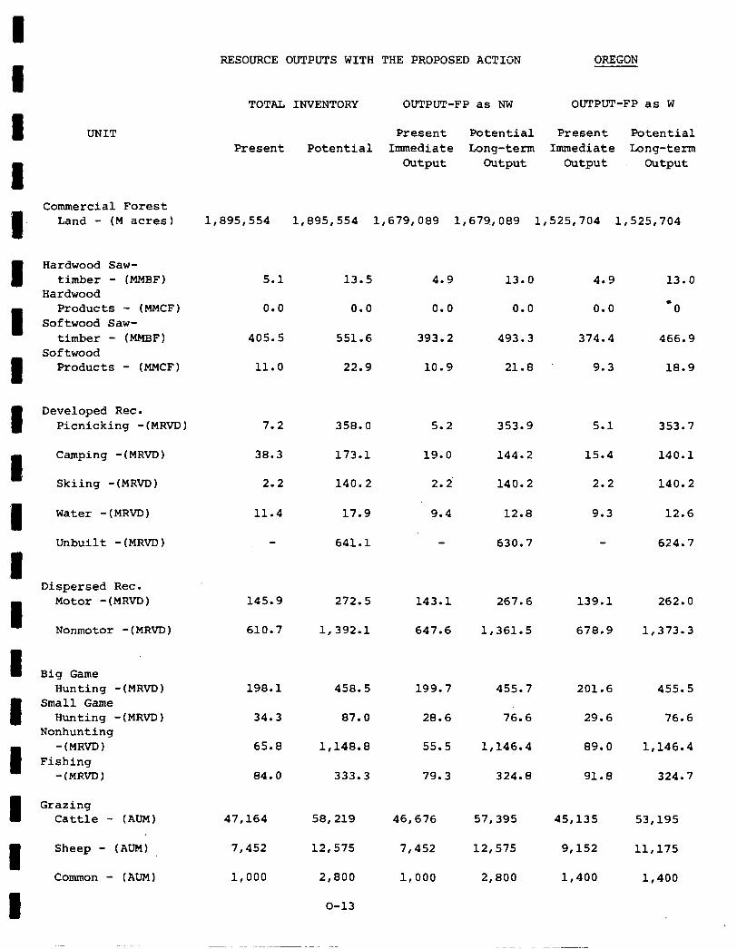
UNIT
Commercial Forest Land - (M acres)
Hardwood Saw- timber - IMMBF)
Hardwood Products - (MMCF)
Softwood Saw- timber - (MMBF)
Softwood Products - (MMCF)
Developed Rec. Picnicking -(MRVD)
Camping -(MRVD) 38.3
Skiing -(MRVD) 2.2
Water -(MRM) 11.4 17.9
Unbuilt -(MRVD)
Dispersed Rec. Motor -(MRVD)
Nonmotot -(MRVD) 610.7 1,392.l 647.6 1,361.5 678.9 1,373.3
Big Game Hunting -(MRVD)
Small Game Hunting -(MRVD)
Nonhunting -(MR~)
Fishing -(MRVD)
Grazing Cattle - (ADM)
Sheep - (AUM) 7,452
Common - (ADM) 1,000
RESOURCE OUTPUTS WITH THE PROPOSED ACTION OREGON
TOTAL INVENTORY OUTPUT-FP as NW OUTPUT-FP as W
Present Potential Present Potential Present Potential Immediate Long-term Immediate Long-term
Output Output Output Output
1,895,554 1,895,554 1,679,089 1,679.,089 1,525,704 1,525,704
5.1
0.0
405.5 551.6 493.3
11.0 22.9
4.9
0.0
393.2
10.9 21.8
7.2 358.0 5.2 353.9
173.1
140.2
19.0
2. 2'
9.4
144.2
145.9 272.5 143.1 267.6 139.1 262.0
198.1 458.5 199.7 455.7 201.6 455.5
34.3 87.0 28.6 76.6 29.6 76.6
65.8
84.0
1,148.a
333.3
55.5
79.3
1,146.4
324.8
89.0
91.8
1,146.4
324.7
47,164 58,219
12,575
2,800
o-13
46,676 45,135
7,452
57,395
12,575
2.800
9,152
1,000 1,400
53,195
11,175
1,400
13.5
0.0
140.2
12.8
641.1 630.7
13.0
0.0
4.9
0.0
374.4
9.3
5.1
15.4
2.2
9.3
13.0
-0
466.9
la.9
353.7
140.1
140.2
12.6
624.7
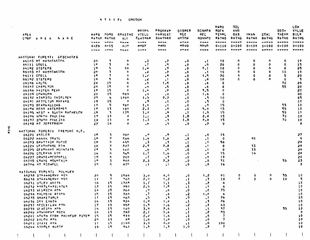
bREb W409
CWF AREA hbnE PATNC
NATTWAI. FUaEqlf GFSChtllTFS A6103 ktT WAqtilhur.Tnk
Ah1 11 ClOELL A4192 SlStEpS 861n3 II1 WA$HfNGlnh k6111 OnELL 66102 STSTEPS ublr(b hALoLl ohIn CHARLTUN U61nM FAIFEN PEAR
Oh109 CnwHuPY 06132 klhf-‘Ir,LJ THlFL.SE’J 06101 tIFTnLTU9 PkFbKS Ok193 BFAfJbALLOUS Oh104 HEN0 WAfEIJSHEn 06195 kFSI + 9l~llll' PAfHFLf’W
04146 knPTh PAM. IrJA 06107 SnUtH PAUL 1kA
oh198 NT JEFFFRS[l'J
NATtONAl FORES1 I ~REMCINT N.F. ObZ?l ANTLFR Oh2?7 HANAh TPATL. 06223 6RATTAIFI RbllF Cb22U bFA"hWAt P1t1 06225 GFA”hbHT H~llNTAfF. Oh226 CnLFr&N GlF: 06227 DRAKE-“TDnkFLL Ok705 CRANE MOUh’7 A 1N Oh7n6 kt RIDtiFLI.
9 T A I Et ORtGON
PnTFh nuss GRAZING YTELL
20 3 n
l# 3 n
10 5 70 20 3 n
1p 7 n
19 5 n
2a 15 n
2n 15 n
1p 15 n
20 15 con 21 6 1pon 19 15 n
1= 5 700 10 13 I on 1Q 3 i75 17 13 n
10 13 n
2z 1U n
1R 3 pop 1R ? 5oh 1R n h5= 10 ? P?7 1’ 3 160
16 U lb5 10 n ?on lo 3 000 10 0 u7c
2 ‘1 11 Ih l? 1U 1= lf lb 17 l’, 10
5 7
15 15 15 15 I5 15 15 13 13 15 14 I5 15
I
1cllu ‘00
17oa 29 u ?6U 1ofl r6n “7h Q5P 1 ur) 792 070
nq 1199
oh1
urj2f~l knhTh F(lRM k’Al.HSUP RIVED 15 ObZ’UZ t ALOY @fThr 2s @h,?fl3 (JlxlE 14Thr 11 06240 hTl’PLF aUTlF lb
I
sAWTYbP
.3
.7 1.u
.i: 1.d
.d
.b
1:: .U
1.5 .9
1.4 2.3 1 .I) 1.1 1.3
.b
.V 1.0
.3 2.9
1:; .‘l
2.3 .1
3.V 2 . (1 1.1 2.5
.v
.7
.5 1.9 1.9 3.9 2.1 2.2 1.0 3.5 1.6
I
PROGRb)r HARVE91 SAWTMRR
.?
.5
.O ? .
.A
.I t.a
.5
.p
.U 2.2
l ! .l .R .O .q 3 .
.I
.O 1.6
.I 2.8
.c 1 .h
.7 P.?
.I
4.n I.? 1.1 1.E
.6
.4
.I 1.0 1 .b 2.0 1 .h 1.h 1.n 2.Z
1.7
.o
?O .O .O
l . 0
.o
.o
0.0
.o
.O
.o
.o
.O
.o
.I
1.8 1.0
.O
.l
:i .o .O .O .o .o .O
.o
:: .l
:Z .O .l .2
:: .I .o
1 1:t-l
.I 10
.O 20 '.l 10
.I 10
1.5 20 .a 10 .b 0 .b 0
1.5 0 1.6 0
.3 10
.3 0
.fi 15 5.0 15 1.0 15 2.0 15 7.0 !5
.? 0
.n 15
.t 0
.I 56
.I 0
.I 0
.n IS
.n 19
.O 11
.n 16
1.2 .3 .? .l .o
I.0 .l .3 .a
:: .a .O .A .?
I
61 10
6
7s” b
26 ?I 63 17 Q3
7 7
100 7
I
0
n
55 55 55 70 70
a0
33 33 te
0 0
n
0
55
55 10
55
27
2: 20 20 2u 20 23
0
10 5
10 10 10 10 10 10 10 10
0 10 10 10 10
I
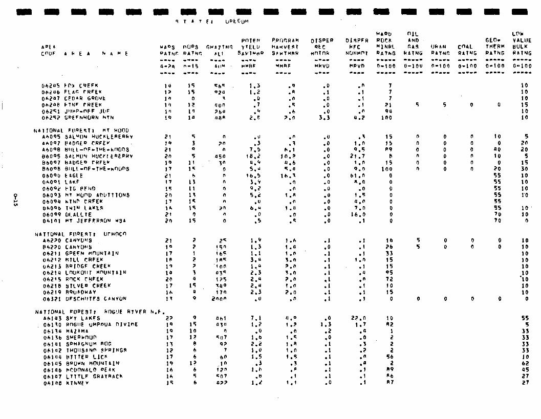
A”[ A Cf-‘UF A F E A hAHi
062~5 rr?!z CQEFK 1u 15 56= 062~6 FLAC CWFEK 12 15 02u OhZU7 CFDIR GQfJUt lh 0 7
Ob2Ue FTNF ~RFEK 1 ‘I 12 UOI! 062Gl JllCP-nFF ,lL!C 1 ” In ?6" 0625? GDEFNYORN htk 10 1u nt3R
&Al TONAL F@OEqT I MT HONJ A6095 9AL”ON WCKLEREQkv AA007 PAClCEo CRFEW A6008 bIlLI-nF-TuE-kfl00S BbOq5 SALMO’J HUtrl EQEPRv
.I36097 MAl~r.to CRFtv BhOOB BIlLI -nF-TwE-vlmjnS
06090 t AGL E Oh091 LAKF ObOQ2 PIG PFND
! 06093 NT HW"D AfiL,TllONS
43 060911 *tNP CRFEK Oh096 Trl” 1 AwE$ 06009 WALLTE Oh101 Clf JEFFFRWN USA
NATTONAL FWE9T, UrHOCn Ah220 CANYWQ PbZZO CANYO~‘S 06211 GPEFN MWNTAl”r oh712 ktLL tRFEK ~6213 RC’InGF CWEE’f 06214 LnUKOlII MWNtAlN 06215 R'?C'( r?FEK 06218 !jTLVER CREEK 06219 RWADWAV 06321 UFSChItlFS CbNVUN
71
10 21 20 10 17 21 IT
15 2n 17 1* 71 21)
21 10 17 1p 1’ 10 2a 17 lh 17
NATfONAL FOpE97? RIIG!JE RlVFR N.F. A61113 S”Y LAKFS 2? 06110 RnGllE uMPWA DIVlnE 10 06130 MAZAMA 10 06116 SHEph’nOf’ 17 ob141 SPHAGNUM ROG 11 ohlUZ THOllSANn $PpJFJG.cl 17 Obl/JU hllfER LICK 17 OblU5 BfJU~tv HOlJYlAl~ 19 06196 CICfJT)NAL@ DEAK 14 fJhlU7 Ll?YLF GRAYRACk lh ohlae lCtkNE V 15
5 3 0 5
11 15
1; 11 13 14 1s
0 15
n
m n
Q5n 3"
0 n n
n n n
2n n
0
z ?
: ? 3 U
15 u 0
25 1.9 1.h (5fJ 1.3 1.0 i65 1.1 1 .n IA5 3.4 3.n
.4 an 1 ..d 5.0 OS= 2.3 3.n 125 2.Q ?.O 7uo 2.u i.n i7n 2.3 z.0
2000 .u .n
9 flbl 15 U3U 10 n 12 q I) 7
e 9? 6 1
6 60 I? ..I n
6 i2n 5 co7 6 O??
:*: :I, .7 .+
2.e
.q
.a
.n
.q h
?:h
:; 7.5
te.2 u.4 5.4
16.5 3.9 9.2 5.2
.U 6.”
:i
.n
.t
1::;
0.6 %.a
1h.T .n .n
1 .n .n
1.0 .O .c
7.1 1.2
.o 1.6 2.2 1.0 1.5
.3 1.h
1::
u.0 l.?
.n 1 .q 1 .A I.0 1.5
7 .- .p .f
I.1
.o
.l
..O
.O
3:;
.U
.o
.O
.o .O .o .O .O .U .o .o .o .o .o
.l
.o
.l
.l
:t . . 1
:t .l
.o 1.3
.2 l .O .l .l
1 I1 .l .l .O
.n
.l
.l
.I .n
0.2
.; 15
1.0 15 9.5 P9
21.7 R 1.n 15 9.0 100
61 .n 0 q.0 0
.O 0 1.5 0 a.0 0 '1.0 0
16.0 0 .I 0
.l
.I
.l 1 .n
.l
.u
.n
.I
::
22.0 1.7
.a
.o
.3
.Z
.n
:; .I .I
7 7 7
21 9U
100
lb 26 33 15 15 q5 72 10 15
0
10 A2
:
z 56
2 89 A6 R7
5
0 0 0 0 0 0
0 0
0
0 0
10 0
00 10
0
2 55 55 55
2 70 70
0 0
0
10 10 10 15 10 10
5 2s 20
S 15 30 lb 10 10 1’0
10 10
0
10 10 10 10 lb 10
‘10 10 10
0
5s
355 33
i: 10 62 45 27 27
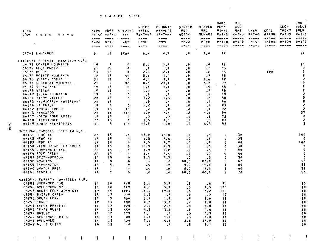
Oh7n3 hAkr(PDlln
luAT1OYAL FUPETT? STSKIVUI~ hl,F. oh171 LWPEP '"C!llFjlATk 06172 hllLF CRFEU 06173 Rr)lillE Obl?U f'~lATO "UUh7Alh 0‘1175 SPAS14 Tn91A (~6176 E.PCfH KALMlflf “IS 06177 OI~I~ATA~JA Obl7e MOICGF Ok179 SO~iAw k"UNlAIN OhlAO LUTNQY VALLt Y rJblP3 KALf’If’PSJQ blrnftlnfvs OhlA4 h’ FhTLV 0671-12 IUUfnU rt?FtK 0671-13 KAhr.A’VJn 06707 hnFTH FnkK SWTlH Oh7nb PACHSADDLF O67n9 SfY~ln hAL!+l”PFtI~
NATIONAL FUatcl, Ir"AbfIl.LA L',F, 06,251 J!lt'o-PFF .ILJF: Ok252 GofCNUUPN t!Th 062’43 NnldTH Fnkl' ,lDHN VAV U625Q RATTLE CAFEK Oh255 SmJ’h FnRK oh256 TnwFR 06257 KcLly PPAICTE Oh258 TFIAS BUTTE Oh249 WSLkV 06260 hf-WlsEUS’X klGC 062hl t{FLLHnLF 06262 h. “1 EMI1 I
WAC’S [email protected] PATbig Al.1
21 11 6.1
19 R n 2.5 1.7 21 I5 n .l .f lf 1G n 2.4 p.1 1p 15 9n 2.0 1.9 21 13 n u.c 1.h 2! II ?4 6.5 20.1 10 15 n 1.0 1.1 15 11 r! 1 .l’ .p 10 P l-l 1.1 .a 2n 15 n 3.2 ?.I 211 15 n .2 .1 19 6 n 1.2 .p 19 15 75 .C .y 21 11 >7= 4.u 7.1 10 15 0 .3 .? 2n 13 n 1.s I.1 19 5 100 12-t 0.0
2fl 17 lk 2? 22 22 2n 17 IC 1s t7
15 15 1u 15 15 13 15
9 5 1 T
;::
15 17
5 15 l? 13 12 13 15 12
I
qn 15.n 13.n .O 3 . . 0 n b.5 5.b .o .l 0 n 7.9 h.7 .O .? 0 0 10.9 0.1 .O 1.5 0 n 8.Q 7.p .O .S 0 n 6 . c. K.6 .O .? 0 n 3.5 T.7 .o .? 0 n .u .n 00.0 8n.o 6 n .U .n 4.0 in.0 6 n .o .n 2.0 1.n 6 n .U .n 60.0 (10.0 b
1:
1” 15 17 10 10 10 1’ 1 ‘I 1u Ia
I
BlQ 7llQ
1 i23 370 2rlh A5' 7>u 65" 170
un
77'1 10
3.c 4.2
21 .u 1.5 1.7 4.3 2.d 4.1 1 . u 1.b 7.5
.7
I
2.7 ; 1 1.7 .3
10.1 .b 1.7 .O ’ .5 a.9 t.a .Z 2.n .u 3.7 .6
.Q .3 1 .lJ .3 h.7 2.6
.h .2
I I
.u 7.u
.O
.O
.O
.O
.O
.O
.u
.O
.O
.O
.O
.O
:i .O .O .2
.a
.1
.h
.A 1 .6 tl.n
.5
.p
.6
:: .u .1
I.1 .I
5 h:T
.b 04
1.5 in0 3.? 100
?
1:i 47 11
3.0 11 2.R 11 4.6 11 a.3 11 0.0 !I
3A.P 11 3.1 11
I J I
HAPD PCKk “INkL QAtN!:
n9
Al 55 55 55 62 99 68 68 pa 80 PO 23 72 P9 73 A3 se
I
100
3r! 35 40 30 ur) 40 5n bn b0
10
5 2 2
.2 2
5 2 2 2 2
27 2 2 2
100 0
100 0 0 0
5; 55 55 55
10 10 10 10 10 10 10 10 10 10 10 10
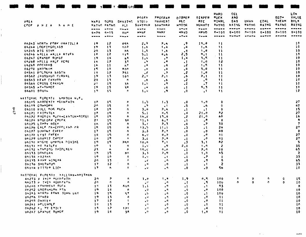
AQEA
C"DF
062h3 042hU Uh2b5 Uh2hb Ob2h7 Oh268 04269 06270 O&Sk1 Oh562 065h3 04560 OA545 ObbQ1
AWEA h4ht
N
NORTH F"Rv 1!HA 1ILLA LOWI"GGLbSS BIG SINK hALLA *ALLA RlvFk GQAVDF RiJ!'GF kFLLS tI4LF AC9E PnT4hll3 SKfl"KIJM F"LnGh'A bAStN JAU3SAUO CPRRAL ~-FAR CAYY"F( CPUSS CAKVIJN WT.THQEF SOUhh
ohin hARnE'2lV ~btltdt~f~ Oh1 n9 CnkHcJPN ohiio I~I.ILL wr. ~ixn Oh1?1 fAIPvlt* Oh,177 FllCh1N ~~~C&-CANTCIN-S~F~~ 06l?U f?"UIDFR CPtFK oh125 LT~DY k(lc" ()6,176 CALF rfi-C"PFLsrVn CR
oh127 O~.I~llkl CPFtv uhl>t LPST rWrE'( uhl?P LllA“l7 CnFtp Ub110 R'X.IIE UYP"llA "IvInE nhit1 VT RAlLFV Uhll2 hThrnIcCi TPIFLsEN Oh113 D"h;Fl;AN 0hl;U rA’lhrt4 06175 PAWK kINt?JA
Ohltb S~t~hf'U" Oh104 tTlTto LIC"
IbTTONAl FIJOESI: hbLLrJh IA-*WITHAN Ah273 p IWJL’ w;lwTATk 20 fihi73 P TWIT’ MUltttTA*h 2n (Jh;lUO r”NllPErrT aura 1 'J 06252 GREFrrHir~N PTh 1Q l3h2CJ NflRTh F”kW f(JHFJ U&Y 1Q 042=6 l"*FR 10 Oh2’G9 t?WSl.tV 17 Oh261 ~=LLH"LF 10 Oh242 L. “1 E”Il. Y 19 Oh2h7 6PAWF nU’Jl;= IQ
mm-- MMhF
.m.- MWRF
12 I)5h 13 10' 13 Rc, l? II< I‘U bq 12 3’ 11 h’l in aon I? 251 15 10’1 13 n 15 36 15 10 15 *
2.9 1.6 1.e 5.1 1.u
.Q
.u
:; 2.u
.o 1 .(I
.u 1.u
2.6 (.a I.6 4.6
. n
.a
.a
.u
.' 7.1
.6
.Q
.u
.Q
15 n 1.5 1.3 15 n .C .l 14 n 3.0 ?.A 15 n 5.1 fJ . 5 15 n lb.2 13.0 15 sn 11.5 6.7 15 n 3.1 2.3 15 n 13.5 11 .l 15 n 5.3 2.7 15 n 6.u U.? 12 n 3 _ .c ?.a 15 25n lU.0 7.1
t r) 1 l 1,. .Q h n 1O.C 0.n
I5 pn 5.5 2.0 in r) 1 . 1.1 .l 13 n .C .n 12 n .U .n
h n .u .fi
2 0
15 14 15 13 I? 13 1JJ la
n n
Ron n
5' ll 1 7
l?l
3a
1.6 . ('
1.1 .b .b .” . 1’ . ” . ” .”
1 .n .n .O .n .n .'I .n .C .fi .n
P"lFrV tUbZINC YtEI.l,
SAWTMhF)
.v
.U
2:.: 1.4
:: .u .2 .b .2 .2 . 1 .O
.O
.5
.l
.u
::
:i .O .O .u .3
2.0 .l .O .l
:Y .O
1.9 .I .1 .O .O .u .O .O .O .O
1r.o 11 I.6 (1 1." 11 0.1 11 1.5 11 I.0 I2 1.5 11 3.u 11 1.u 11 ?.1 11
.Q 11
.7 11 9.3 I1
.I 11
t.n 0 .6 0 .l 0
21.0 A2 21.0 66
.p 0
.p 30
.1 24
.O 08
.n IJ 1
.n 01 3.1 A2 I.') 2 Z.0 10 1.0 h5
.9 1 .'! 8 .I 2 .O 56
0.4 .5 .l .n .l .n
:: .u
1.U
100 100
03 100 100
11 ti I1 11 11
n 0 ? 0
27 40 15 27 lb
9 7
27
2; 27
5 35 65
2 33 65 33 10
n 0 15 I! 0 10
0 10 10 lb 10 10
::
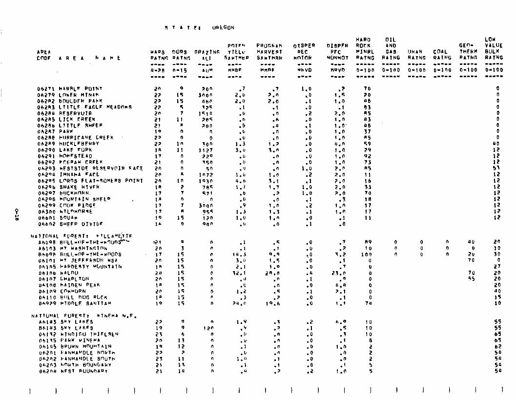
FIT 4TFl UR~GOY
ARt4 CnDF 4REA NAME
0427l HhRRLF POTNT 2n 0
04279 LnkFH MTNA,: 22 15 04282 bnULDFR P4kY 22 15 062R3 LT7TLF FAGLF “EAOf?kS 2? 5 062AU RESFRVUIR 2fl 7 Ob2AS LICN CREEK 21 11 Oh296 LTTTLF .9kiFEP 2J II Oh2Rt PARK 10 n
042R@ l-l,IRRICA’JE LQEFK 22 I) 062a9 hUCKLFHFRRY 22 10 04290 L4KF FORK 1R II 04291 ~C’PFSlE40 17 0 06202 f”Cy.aA”’ CRFtu 21 0 Ok293 *FSlSlDE RLPtQVCISP f ACE 2n n
OA2oU IMNAhA FAl-t 2P a
06205 LpR’)S FLAT-%O”‘tRS PnINl 20 in 002Ob SNAKE klVFH In 2 04207 b!JCUHnUN. 17 7 04298 CJWNT~I'J SHFL" _ la n
06299 CnLM Plr)GS 17 7 Oh300 htLnHnRsE 17 R ohbni sflufilr 10 15 04602 SHEFP DIV~IJF 1h r)
NPTTIJ~JAL FURECT! WlhEnA N.F. AcllU3 9"V LAhFS 861fl3 SWY LEK=s 04112 kIND]~U Tb'lFL~t'J 04175 C’Lkrf vINEpA OblU5 bPUWN MnUr’lhlN uk2nl F’~NuL~‘DLE knkT~ OA2n2 PANHA’JDL E S’IUTh ok2113 hrnkTH t)rlUW4hY Oh2nU kFST PUUIVOA~Y
UARS OURS GPAZlNL DATNC OATNC
27 I9 23 7n 10 22 23 21 21
I
0
3 15 15 15 15 15 15 15 15 15
0
Q 4
13 I2
7 II 13 1u
1
TOO 3non
awn 7?5
IFlO 7eq 700
n 0
-on li27
?2Q 7s')
50 lf'72 1930
785 571
3noz 055 izn 0lJn
n n
n n
n
0 n n
0 n n
n
120 n n n
n n
n n
I
w-m- MHbF
.7 2.0 2.0
l 1 .b
:P .fJ
1:: 3.u
.u
.o
. ‘J 1.u 4.0 1.1
.6
. 1)
.9 1.3 l.U
.u
.1
.I 14.3
3 . iI
2.1 32.1
. t’ .c
1.2 .3
74.c
1.9
:E .u .I .lJ
1 .I) .I .u
I
.7 7.n 2.0
.l
.rl
.A
.a
.n
.o 1.7 3.n
.n
.n
*::: 3.1 1.7
.7
.n 1 .n 1.3 1 .n
.n
.q
.I Q.Q 1.5 1 .o
24.0 .n .n .q .7
19.6
.f
.’
.n
.n
.n
.‘1
.l
.l
.7
I
1.0 ,O .l
:i .o .l .O .O .o .O .O .O
1 ..o .2
I$ 1.0
1 la .l .O .I
.O
.u ?O .O .O .u .I .O .I .O .O
.2
.I
.o
.O
.O
.O
.o
.o
.Z
I I
.? 1.5 1.0
.I 2.n 1 .I) I .O’ 1.0 1.0
0.n 1.0 !.n
1.0 ?.P 7.n ?.O 2.0 7.0
.3 1 .n 1.0
.I
.O
.7 7
1:; .I .7
25.f! 0
0:tl 7.1
.I 1.9
4.9 .5
1 . .f
I.0 .n .n .l
1.0
I
70 20 00 93 A5 03 UEI 37 n5 59 29 92 73 R5 11
:“J 70 18 I7 17 11
89 10
100 0 u
i 0 0 0
7u
10 10 10
8
s 2 5 5
I
OIL AND GAS
PATNG -mm.- o-in0
0 n n
0 n uu 0 I-J 0 n 2::
70
70 s5
LOU VALUE BULK RATNG mm.--
o-100 -.I--
0 0 0 0 0 0 0 0 0
00 12
tS 53 12 12 12 12 12 12 12 12
20
:: 0
27 20 20 20 00 1s 10
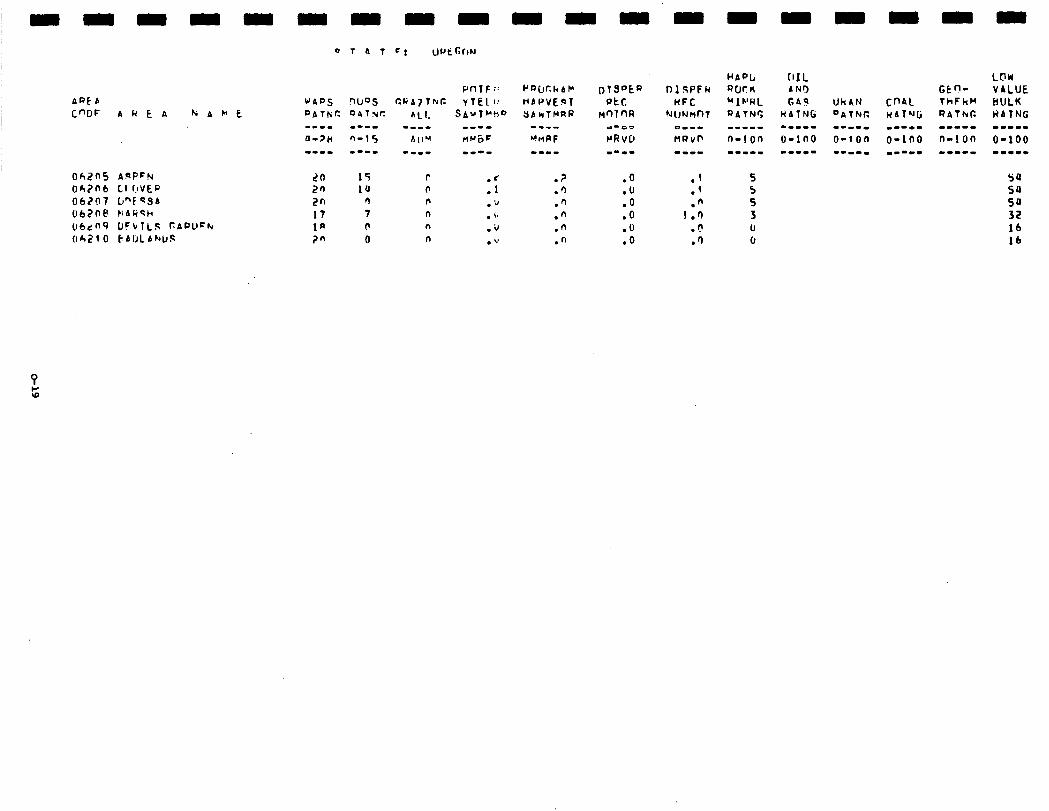
APE A C”DF 4 k E A WAbt
OhZnS AgPFN 06?nb LI hVEQ 06207 b-FQSA 062ne HAW~h ubdn9 OFVlLS PAPOChr trh210 CAIJLA~JIJS
LO 15 r :5
.? .O 2n 1u r .‘I .U 2n n n .I, .n .O 17 7 n .L .n .O la r n .i, .n .o ?n 0 n .u .n .o
.l
.’
.n 1.0
.P
.‘)
HAPL QWK MIVWL QATNr, i---w n-i on --w-m

-
-
-
-
-
-
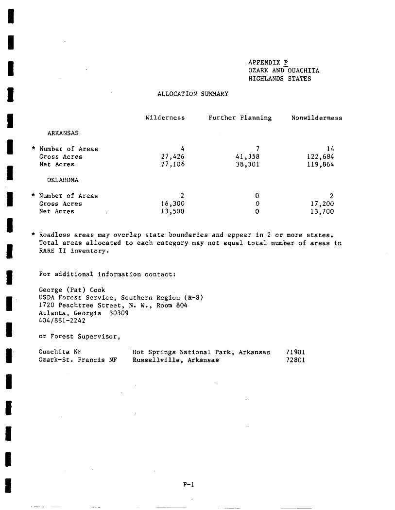
I I I I I 1 I I 1 I I I I I I 1 l I I
APPENDIX P OZARK AND-OUACHITA HIGHLANDS STATES
ALLOCATION SIJMMARY
ARKANSAS
Wilderness Further Planning Nonwilderness
* Number of Areas Gross Acres Net Acres
OKLAHOMA
4 7 14 27,426 41,358 122,684 27,106 38,301 119,864
* Number of Areas 2 0 2 Gross Acres 16,300 0 17,200 Net Acres 13,500 0 13,700
* Roadless areas may overlap state boundaries and appear in 2 or more states. Total areas allocated to each category may not equal total number of areas in RARE II inventory.
For additional information contact:
George (Pat) Cook USDA Forest Service, Southern Region (R-8) 1720 Peachtree Street, N. W., Room 804 Atlanta, Georgia 30309 4041881-2242
or Forest Supervisor,
Ouachita NF Hot Springs National Park, Arkansas 71901 Ozark-St. Francis NF Russellville, Arkansas 72801
P-l
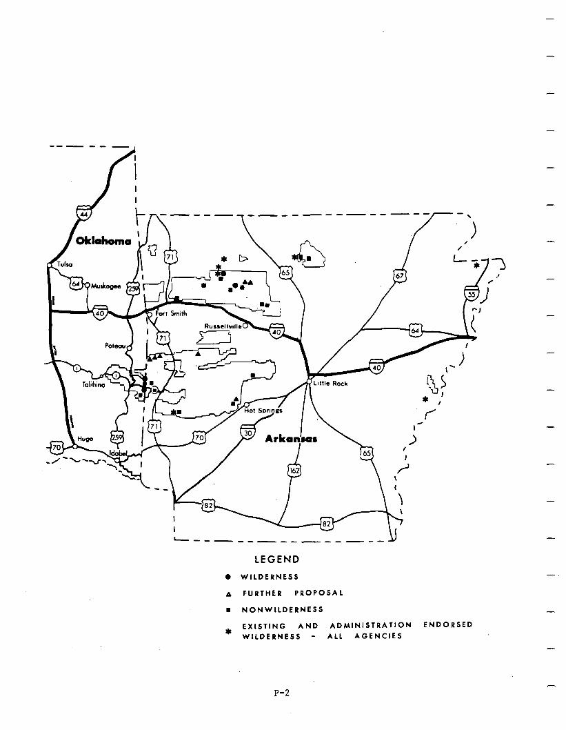
I
I
/
I I
44
--m-------m--- Y
LEGEND 0 WILDERNESS
A FURTHER PROPOSAL
n NONWILDERNESS
EXISTING AND ADMINISTRATION ENDORSED *
WILDERNESS - ALL AGENCIES
-
-
P-2
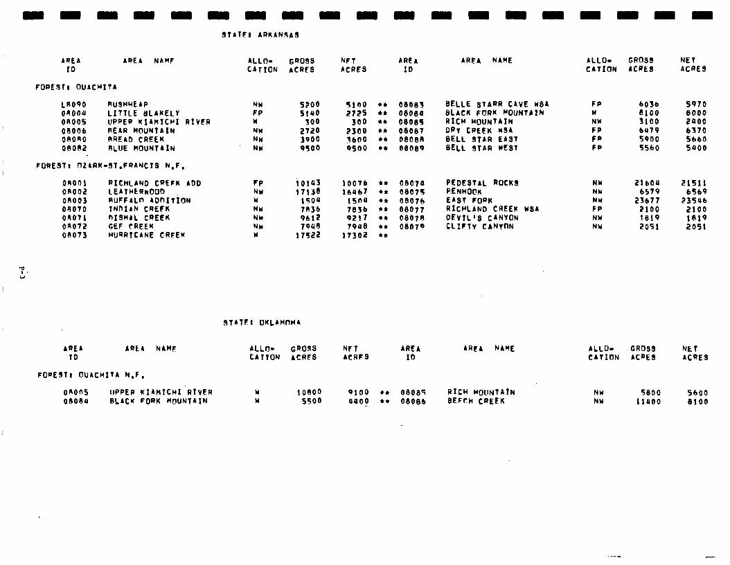
3tATF: ARKAN9AS
AREA AREA NAMF ALLO- GQOSS 41 AREA ID CATION ACRES ACRES 10
ARFA NAME ALLO- GROSS NET CATION ACRES ACRES
FOQEJTI OUACRITA
LR09b RUSHWEAP NH 5200 $100 OR004 LITTLE I3LAKELY FP SlUO 2?2S on005 UPQEQ KIAkICHI RIVER w 300 300 oeoo6 REAR MOUNTAIN NW 2720 2300 oeono RREAD CREEK NW 3900 3600 ol3on2 RLUE HOUNTAIN NU 9500 0500
06OEll BELLE STARR CAVE WBA ol3oga BLACK FORK ROUNTAIN 06063 RICH MOUNTAIN 08007 DRY CREEK KSA oeoen SELL STAR EAST OSBS9 BELL STAR WEST
FP w NW FP Fe FP
bO3b 8100 3100 bUi9 f900 5560
5970 6000 2poo b370 SLIO SQOO
FORES11 nZARK-9T.FRAYCTS N-F,
OR001 RICHLAND CREFK ADD on002 LEATRtQkOOO on003 RUFFALn ADnITION OR070 TNnIsN CREFK 00071 QISRAL CREEK OK072 GEF rREEK 08073 WQRTCANE CRFEK
10143 1713S
1sou 7n3b
::$i 17522
OSO7O PEDESTAL ROCKS 06075 P.ENHO@K OSO7h EAST FOQK 08077 RICHLAND CREEK 0807R DEVIL’S CANYON 08079 CLIFTY CANYfJN
10076 lb467
15n4 7836 9217 79OS
17302
NY 21604 21511 NU bS79 b5b9 NW 23677 23546 FP 2100 2100 NW 1819 1819 NY 2051 2051
USA
3fATFI OKLAHnMA
AREA AREA NAHF ALLO- Gf?OJS NFT AREA AQCA NAME ALLO- GROSS NET TO CATTON ACRES ACRFS ID CATION ACQES ACRES
FOREST! OUACHITA N.F.
Y 1 ol?oo 0100 t* 06085 RICH MOUNTAIN W 5500 aoaf l * 0808b BEFCH CQEEK
onon lIPPER KlAHItRI RIVER onoau RLACK FORK HolJNfAIN
NW NW
5800 11400
5600 8100
Social. BARE II isa very controversial issue in the Ozark and OuachitaBighlands area. Many of the concerns expressed in the public response are related to social issues.
On theozark National Forest,local citizens strongly objected to the possibility of private land condemnation due to wilderness on most areas. This attitude was largely generated by recent condemnation proceedings relating to the Buffalo National River. Since theonlyroadlessarearecommended, Upper Buffalo Addition, does not contain any private land, social impacts relating to land condemnation should not be realized. Another major social concern on the Ozark National Forestrelatestopreceivednegativeeconomic impactsdueto wilderness allocations. Economic analysis shows,however,that no significant economic impacts will occur as a result of allocating the Upper Buffalo Addition to wilderness.
Two areas are recommended for wilderness on the Ouachita National Forest. Once again, the major social concerns related to perceptions of declining economic conditions and loss of local control, largely due to fear of private land condemnation. Economic analysis has shown that no significant economic impacts will occur as a result of wilderness designation. Some private landowners will be concerned; however, about the inclusion of 2,900 acres of private land within the roadless areas. The inclusion of this private land may intensify a feeling that local affairs are being unduly influenced by the Federal Government and "outsiders."
Economic. A summary of economic impacts for the proposed action is presented in the following table. These are national impacts and may or may not occur in the state specified. All state impacts are allocated from the national totals and are based upon state resource changes. They are the state's contribution to the national impact. For a complete description on how the impacts were calculated see Appendix W.
-
-
P-4
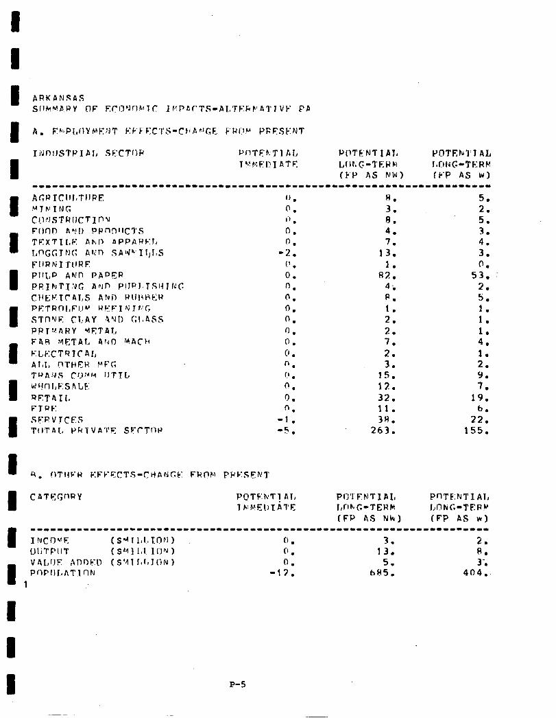
I
CAT!?c;nRY P(!TF:luT! Al, 1 ~ib?i!El)TAl'E
H. 5. 3. 2. 8. 5. 4. 3 . . 7. 4.
13. 3. 1. 0.
82. 53. 4-m 2. p. 5. 1. 1. 2. 1. 3 . . 1. 7. 4. 7 I . 1. 3. 2.
15. 9. 12. 7. 32. 19. 11. 6. 3H. 22.
263. 155.
PnTE:NTI Al., LObiG-TEPU (FP AS wur)
I --------------------------------------------------------------------- I NCOVE (SIyJIIIIITD~i) (’ . 3. 2. UliTPIIT ($MllJ ICJIJ) C’ . 13. 8.
I PrIPflLAT VALUE ADtIkYl> 1 rl!J ($‘I1 Igl,J(iN 1 -17. 0. 6635. 5. 404.. 3;
1
P-5
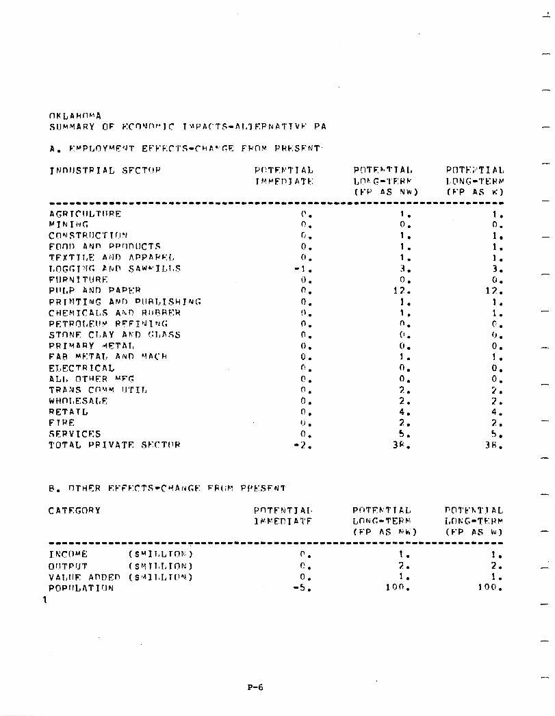
-
nKLAhllMA SUMMARY OF KCnYnf’JC 1 \lPA(‘TS-AI,‘l EPNATTVC’ PA
A. KMPl,OYMF*JT EPF’F:C’I’S-(-hAr.c:E FWl3y PRC:SFNT,
JNDIJSTR I AL, SFCT!lP P(;TF:‘Tl AL POTFlh~Tl A I, Pf'lTk:;,'TI AL Tf~rFl~l ATF: I,Dt. G-'l'F:WC L~@Nc;-'l'k:)iv
(S-J-' AS NW) (F'P AS k') ------11--------1----------------------------------------------------
-
-
(? . 0. Cl . 0. 0 .
-1. il . 0.
0. !I .
0. 0. 0 . 0. t-! l
0.
0.
0.
0.
1.; .
0.
0-2 .
CATEGORY PnTFNT341, llrF:Fl?IATF
1. 0. 1. 1. 1. 3 . 0
12: 1. 1. 0. C’ . 0 . 1. 0. 0. 2. 2. 4. 2. 5.
3fi.
Pf’iTFkT 1 AL LOluG-TERM (FP AS hik;)
1. 0. 1. - 1. 1. 3. - 0.
12. 1. 1. c. (J . 0. 1. 0. 0. 2. 2. 4. 7. 5.
3H.
---------------------------------------------------------------------
I RC!)ME (S~I11,LTDF;) 0. 1. 1. 0 11 T P fJ T (SYTl~I,TON) f-?. 7 / . 2. VAI,IIE AnnEn (s411,r., huh!) 0 1. 1. P@P1lLATI!lN 4: ion. 100.
1
-
-
-
P-6
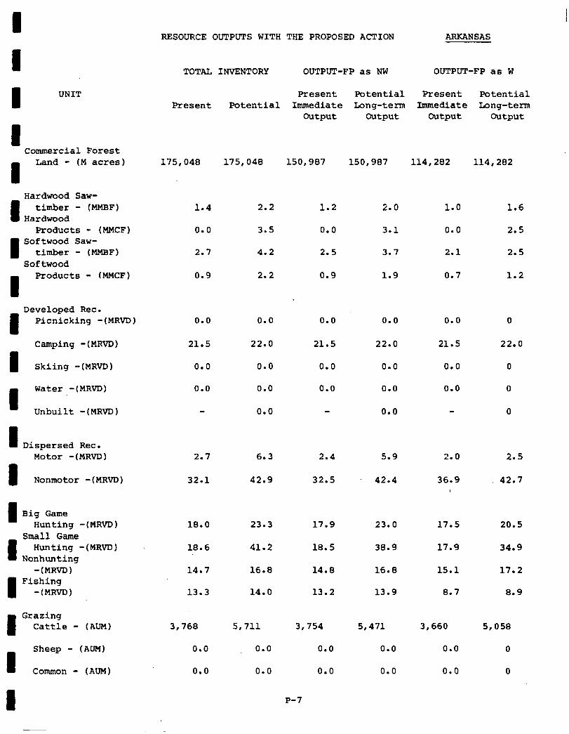
I RESOURCE OUTPUTS WITH THE PROPOSED ACTION ARKANSAS
TOTAL INVENTORY OUTPUT-FP as NW OUTPUT-FP as W I Present
175,048
1.4
0.0
2.7
0.9
UNIT I Potential Long-term
Output
150,987
Present Immediate
Output
114,282
Potential Long-term
Output
114,282
Present Potential Immediate
Output
150,987
I Commercial Forest
1
Land - (M acres) 175,048
2.2
3.5
4.2
2.2
Hardwood Saw-
I timber - (MMBF)
Hardwood Products - (MMCF)
I Softwood Saw-
timber - (MMBF) Softwood
1.2
0.0
2.5
0.9
2.0 1.0 1.6
3.1 0.0 2.5
3.7 2.1 2.5
1.9 0.7 1.2
I Products - (MMCF)
0.0 0.0 0.0 0.0 I
Developed Rec. Picnicking -(MRVD)
Camping -(MRVD)
I Skiing -(MRVD)
0.0
21.5
0.0
0.0
0
22.0
0
0
0
21.5 22.0 21.5 22.0
0.0 0.0 0.0 0.0
0.0 0.0 0.0 0.0
0.0 0.0 I Water -(MRVD)
Unbuilt -(MRVD)
I Dispersed Rec. 2.0 2.5
36.9 42.7
Motor -(MRVD) 2.7 6.3 2.4 5.9
32.1 42.9 32.5 42.4 I Nonmotor -(MRVD)
I Big Game Hunting -(MRVD) 18.0 23.3 17.9 23.0 17.5 20.5
18.6
14.7
13.3
41.2 18.5 38.9 17.9 34.9
16.8
14.0
14.8
13.2
16.8
13.9
15.1 17.2
8.7 8.9
Small Game
I Hunting -(MRVDJ
Nonhunting -(MRVD)
I Fishing
-(MRVD)
I Grazing
Cattle - (AUM) 3,768
0.0
0.0
5,711
0.0
0.0
3,754
0.0
0.0
5,471
0.0
0.0
3,660
0.0
0.0
5,058
0
0 I
Sheep - (MM)
Common - (AUM)
P-7

UNIT
Commercial Forest Land - (M acres) 26,584 26,584 13,579 13,579 13,579
Hardwood Saw- timber - (MMBF)
Hardwood Products - (MMCF)
Softwood Saw- timber - (MMBF)
Softwood Products - (MMCF)
0.0
0.0
0.2
0.1
0.0
0.0
0.0
0.0
1.0 0.5 0.0
0.5 0.3 0.0
0.6 0.3 0.1
0.6 0.3 0.1
.5
.3
.3
.3
Developed Rec. Picnicking -JMRVD)
Camping -(MRVD)
0.0
0.0
0.0
0.0
0.0
13,579
0.0
0.0
0.1
0.1
0.0
0.0
0.0
0.0
0.0 0.0
0.0 0.0
Skiing -(MRVD) 0.0 0.0
Water -(MRVD) 0.0 0.0
Unbuilt -(MRVD) 0.0
Dispersed Rec. Motor -(MRVD) 0.8 1.4 0.4 0.8 0.4 .8
Nonmotor -(MRVD) 2.1 4.3 3.9 5.1 3.9 5.1
Big Game Hunting -(MRVD)
Small Game Hunting -(MRVD)
Nonhunting -(MRVD)
Fishing -(MRVD)
2.0 3.1 1.8
.2.0 3.1 1.6
0.3 0.3 0.6
0.8 1.0 0.7
2.4 1.8 2.4
2.2 1.6 2.2
0.6 0.6 .6
0.8 0.7 .8
Grazing Cattle - (AUM)
Sheep - (AUM)
Common - (AUM)
677
0.0
0.0
802
0.0
0.0
P-8
425
6.0
0.0
525 425 525
0.0
0.0
0.0
0.0
0
0
Y-,“mA....IM A*.......-- . ..a...... p...- -------- KL~UUKU~. uu'rrul'b wi.~n _ --- ^-- L‘nE YKU~USIQJ AC'I'IUN . OKLAHOMA -
TOTAL INVENTORY OUTPUT-FP as NW OUTPUT-FP as W
Present Potential Present Potential Present Potential
Immediate Long-term Immediate Long-term output output output output
-
-
-
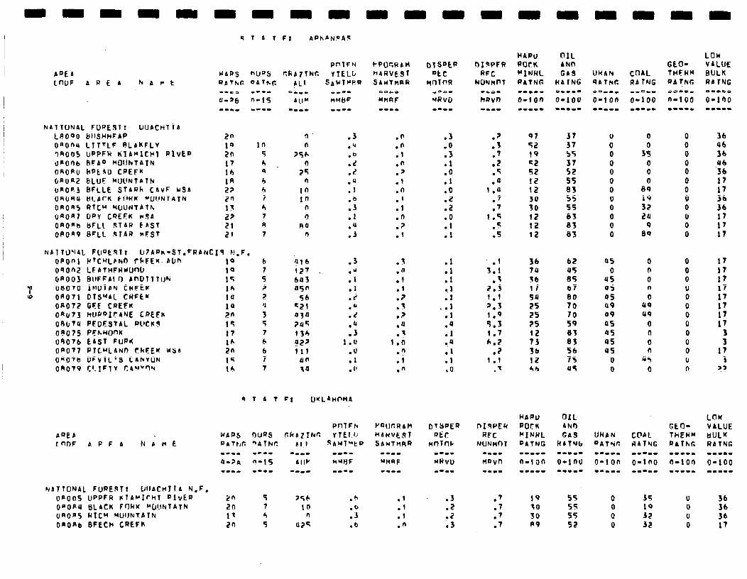
AQEA LnOF A R E A Kant
~AITCINAL FOPEBlr LNJACHllA LF!OOO bI&HHFAP OaOnrr LTTTLF RLAkFLV 34OG5 ClPPFW KlANlCHT RIVER unOrlb RF40 MOtJNtAIN OROAo bptfill CREFK GnOa2 bLlJF WUNTATk uAofi3 BFLLE StAQh C4vF US4 09unu ALprK FORK ~OUNTATN OROn RTC” ‘WJNlAlh UaOnl DPY CQEFK rSA OmOnc, &FL1 $T4R EAST oPOa9 WLL STAR nFSt
9 T 4 T F; APhAN9AS
PnTFN UAPS nufJs rtkA71tdur. Y TELL,
2n 10 10 2n 5 17 4 lh 4 1R 4 2? 4 20 7 13 h L? t 21 n 21 7
N4lT0’14L FWt%l: IJIAPm-ST.FRANCIS P!,F. UP001 P’CULENO rFFEK. ADn 10 b 090n.Z LEAtnFHwOnO IO 7 GAO03 BIIFFAI 0 AnDtlTW I’( 5
'p 08070 IhlDTAY CRFEK 16 ? rD OR071 OTS”4L CRFEM tu ?
OR077 GEF CREFK 14 ‘I On073 kUPQIC4NE CREFK m 3 08l~7U PFDFS1AL WCK!3 19 5 on075 PFhwmK I? 7 09076 E4Sf FUR6 IA 4 OPOTf PlC”LAND ChFEK USA 2n 6 OAOfb DFVTL’S CAkVON 1q 7 0RO19 C’mIFlV C44f"'I'i 14 7
q I4 I
NATIONAL FIJREAT~ CJIJACH~ I A “I,F, (la005 UPPFR KTPNIrCtT QlvEQ 2n 5 ODORU BL4CK FORK MDI.INfATN 26 7 OROn RTCW NUIJNTATN 11 4 OaOAb BFECt’ CREFK 2n 5
.n
.n
.l
.n
.J .f .n .I .l .O .? .I
t . . .fl .I
:: 1 . ? .
.4
.t l.iJ
.n
.i
.n
.l
.I
.l
.n
.3
.O
.3
.l
.o
.1
.o
.2
.2
.o
.l
.l
.l
rt l . 1 . . 1
L . .t
.4
.l a.4 .I .I .O
DTSPEQ R&r:
t4nTm m-II
MHVU m-w-
.3
.2
.2
.3
62 us 85 67 80 70
::
t; 56 75 U5
0 0 0 0 0 0 0 0 0 0 0 0
0
3: 0 0 0
89
:9 zu
9 89
45 0
u5 45 05 49 49 a5 05 45 45
0 0
0 n 0 n 0
49 44
0 n
0 n
45 0
35
:; 32
0 0 0 0 0 0 0 0 0 u 0 0
36 ub 3b
,:: I7 17 36 36 17 17 17
0 0 0 0 0 0 0 0 0 0 0 (I n
17 17 17 17 17 17 17 17
3 3
17 3
JJ
LOW V4LUE UULK RATNG m-m.. O-100 -I-.-
U 36 0 36 0 36 0 17

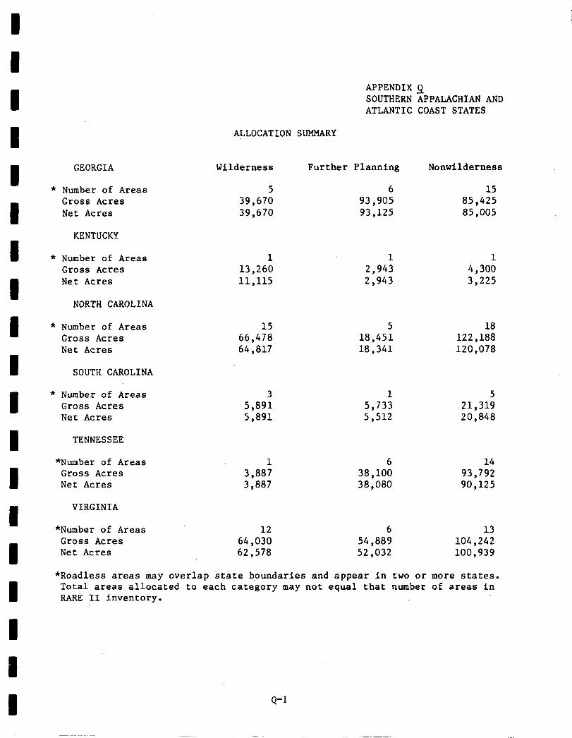
APPENDIX 9 SOUTHERN APPALACHIAN AND ATLANTIC COAST STATES
ALLOCATION SUMMARY
GEORGIA Wilderness Further Planning Nonwilderness
Number of Areas 5 6 15 Gross Acre6 39,670 93,905 85,425 Net Acres 39,670 93,125 85,005
KENTUCKY
Number of Areas 1 1 1 Gross Acre6 13,260 2,943 4,300 Net Acres 11,115 2,943 3,225
NORTH CAROLINA
Number of Areas 15 5 18 Cd066 Acre6 66,478 18,451 122,188 Net Acres 64,817 18,341 120,078
SOUTH CAROLINA
Number of Area6 3 1 5 GrOS6 Acre6 5,891 5,733 21,319 Net Acres 5,891 5,512 20,848
TENNESSEE
*Number of Areas Gross Acre6 Net Acres
VIRGINIA
1 6 14 3,887 38,100 93,792 3,887 38,080 90,125
*Number of Areas 12 6 13 Gross Acre6 64,030 54,889 104,242 Net Acres 62,578 52,032 100,,939
*Roadless areas may overlap state boundaries and appear in two or more states. Total areas allocated to each category may not equal that number of areas in RARE II inventory.
Q-1
-I.
South Appalachian
For additional information contact:
George (Pat> Cook, RARE II Coordinator USDA Forest Service, Southern Region (R-8) 1720 Peachtree Street, N. W., Room 804 Atlanta, Georgia 30309 404/881-2242
or Forest SUperViSOr,
Chattahoochee-Oconee NF Cherokee NF Daniel Boone NF Francis Marion-Sumter George Washington NF Jefferson NF National Forest6 in North Carolina
Gainesville, Georgia 30501 Cleveland, Tennessee 37311 Winchester, Kentucky 40391 Columbia, South Carolina 29202 Harrisonburg, Virginia 22801 Roanoke, Virginia 24011 Asheville, North Carolina 28802 -
-
-
-
--
-
-
-
Q-2
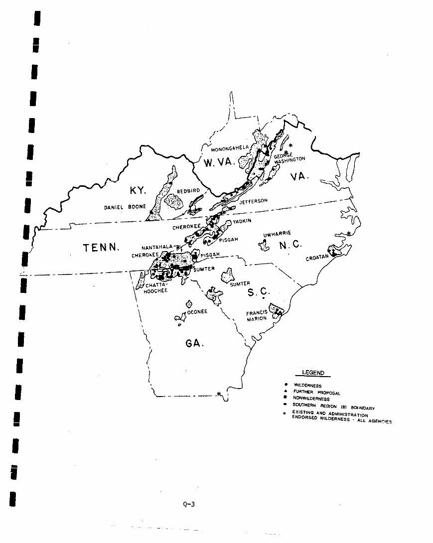
_---- A YADK~N
LEGEND
l WILDERNESS . FURTHER PFIOPOSM l NONWILDERNESS - SOUTHERN REQION (81 BMIN&$R~
EXlSTlNQ AND ADMINISTRATION + ENDORSED WILDERNESS - ALL AQENCIES
OCONEE \
FRANt\s~ \ MARION u-,
w
.L -\ .,
j
-
8 Q-3
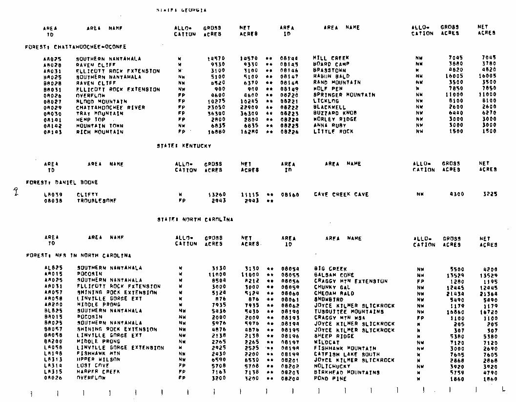
AREA ARE4 NAMF ALL+ GROSS TO CATION ACRES
FOREST1 CHAT~AHOOCHEE-OCONFE
ALLO- GROSS NET CATION ACRES ACRES
NET ARFA ACRIS ID
AREA NAME
ARO2S AR028 A0031 BRO25 00028 00031 OUoZb 00027 on029 on050 on141 on102 on103
SOUtWERN NANTAHALA Y (UT70 RAVEM CLIFF Y 9330 FLLICOTT ROCK FXtENsION W’ 3100 sOUtHERN NANtAHALA NW 5100 RAVEN CLIFF NW 6520 FLLICUtT ROCK EXTENSION NW 900 nVERFLnk RLnOD ~OUNTAtN CHATTAWODCWEF RIVER tRAt WluNtAlN HEMP TOP MOUNTAIN IOWN RICH MOUNTAIN
PP FP FP FP FP NM FP
UIOO 10275 23050 lb300
2800 6835
lb@80
08l-aa HILL CRFEK 08145 bOARQ CAMP OBlub ~RASSTOWN 081~7 RABIIN BALD 001un RAND MOUNtA!N OEllU? WOL? PEN oe22g SPRINGER MOUNTAIN 08221 LICKLnG 08222 bLACKWELL 00223 BUtlARD KNOB 08224 WoRLEv RIDGE 08225 ANNA RIJRY 08226 LIltLF ROCK
NW NW W NW NW k NW NW NW NW
1045 709s 3880 3780 0020 4020
1qoos lb005 JSOO 3500 7850 7850
11000 11000 8100 8100 2600 2600 bUQ0 6270
10570 9330 3100 5100 6370
900 4600
102u5 22900 36300
2800 6835
lbZU0
STATE1 KFNTUCKV
NW 3000 3000 NW 3000 3000 NY 1500 1500
AREA NAME ALLo- GROSS NEt CATION ACRES ACRES
AREA NAME ALLO- GROSS NET AREA CATION ACRES ACRES 10
FORESTI DANIEL BOONE
^7, LPO39 CLXFtt 08038 tRnuRLESnW
W 13260 11115 l * 08IbO FP 2943 2903 l *
CAVE CREEK CAVE NW a300 3225
SfATrI NORTH CARnLrNA
AREA ID
AREA NAHF
FOREJt, NFs IN NORTH CAROLTNA
AL825 An015 AR025 APO31 AR057 AA058 A4200 BL825 BR015 0n025 BP057 04050 BRZOO LAO58 LRl98 LP313 LA314 LASlS On026
SOUTHERN NANTARALA Y 3130 3130 POCOSlN Y 11a00 llOO0 sllUtHERN NANTAHALA W ElSOQ R212 FLLIrOtl kOCK FXtENSTOM w 3noo 3000 9HINING ROCK EXTENSION W 5120 5124 LINvtLLE GORGE Exl w 07b 076 MIDDLE P;RONC W 7035 7955 SOUTHERN NANTAHALA NW 5436 5036 POCOSIN -NW 2000 2000 ISOUTHERN NANtAWALA NW 5076 5976 JHINING DOCK EXTENSION NW 4076 aelb LINVTLLE GnRGE Ext NW 2138 Elf8 MIDDLE PRONG NW 2265 2265 LINVTLLE GORGE EXTENSION W ts25 2525 FISHHAWK HTN NW 2430 2200 lIPPEP WILStlN NW 6590 65SO LOST CnvE ?P 5708 5768 HARPFR CREFK PP 7163 7138 nVFAFLnw FP 3200 3200
ALL% GaO3s NET AREA CATTON ACRES ACRFS- ID
ARFA NAME ALLO- GROSS NET CATION ACRES ACRES
NW 5500 4200 NU 13529 13529 FP 1280 1195 NW 12cros 12OUS NW 2lU3O 21364 NW SUP0 5090 NW 117q 1179 NW lbBb0 lb720 FP 1100 1’100 II 205 205 k 307 307 W 5380 5S80 NY 7120 7120 NW 3000 2690 w 7605 7603 W 2868 2868 NW 3920 3920 W 5759 a790 W 1860 lOb0
I- I I L
OEIOSP BIG CREEK 00055 BALSAM CONE 08056 CRAGGV lrtN EXTENSION 08059 CWNKV GAL 08060 CHEOAW 0iLD 08061 8NOw07RD 08062 JOYCE KILHER SLICKROCK 08190 TUSGUITEE MOUNTAINS 08193 CRAGGY MtN wsrr .0819a JOYCE KILHER SLfCKROCK 08195 JOYCE KILMER SLICKROCK 08196 8HEEP RIDGE 0019t WILDCAT oai9n FISHHAWK MouNtAIN 08199 CATFISH LAKE 9OUtH 08201 JovCE KILHER SLICKROCK 08202 NOL~CHUCKV be203 BIRKHFAD MOUNTAINS 08200 POND PINE
I I I I I I I I 3 I
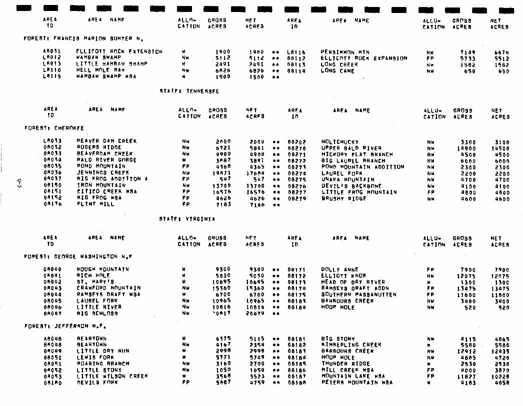
ALLrl- Cnoss CATION ACRES
NET ARFA ACRFS 10
FOREST1 FRANCIS MARION SUMTER N,
AR031 FLLICOTT ROCK FXTENSIDN W 1900 1900 l * LB116 LAO12 UAHBAW QUAMP NW .SllZ 5112 l * 08112 LAO! 3 LITTCE KAHRAY JwAnP w 2u9l ?U91 +* LO110 HELL HnLE RAi
08113 Nh 6826 b8Zb l * 08114
LR115 WAWAH SWAMP k.9A w 1500 lSO0 +*
ARFA NAME ALLU- GROSS NET CATION ACRES ACRES
Nbi NW
7109 6670 5733 5512 1582 1582
650 650
ALLU- GROSS NET CATION ACRES ACRES
NH
K NW NW NW NW NV FP NY
3300 la900
a500 6000 2300 2200 a700 0100 ueoo 4600
3100 lU500
us00 6000 2306 2200 UT00 9100 9800 UbOO
ALLU- GROSS NET CATION ACRES ACRES
FP 7900 NU 12075 FP 13475 1300
f p 11600 NW .3uoo NW 520
7900 12075
1300 13075 11800
3000 520
NW * NY NW
:P FP w
4115 5580
129!2 U8RS 2530 0000
11027 ai83
4065 5580
12035 4720 2530 3870
1 OZZI uosa
PERSIHHnN MTN ELLrcnfT ROCK EXPANSION LONG CREEK LONG CANE
.9f’bTF: TENHERsFE
AREA to
FORE311 CHERnKFE
ARtA NAHF ALLno CR099 NFT ARFA CATION ACRES ACRFS 10
AREA NAME
LAO33 09032 on033 OROlU 08035 On036
.o de037 27 on150
08151 04152 OKlTb
REAVER DAM CREEK NW 2000 EOOU 44 ROGERS RIDGE Nk 6721 5801 44 REAVERIJAH CREEK NW 4900 QPOU 44 RALO RIVER GnRGE w Ja87 3891 44 POND HRUNTAIN PP 4368 a365 44 JENNINGS CREFK NM 19911 17684 ** RIG,FRnG ADDTTION A FP 547 5a7 44 TRON MOUNTAIN NW 13700 13700 44 CItICO CREtK KSA FP 1 b576 16576 l 4
RIG FROG WSA FP UbZb 0626 44
FLINT HILL FP 7183 7 1.66 44
082Or NOLICWUCKY 08270 UPPER BALD RIVER 08271 HICKORY FLAT RHANCH 06272 BIG LAUREL BRANCH 08273 POND HOUNTA7N A007110N 06270 LAUREL FORK 06275 UNAKA H@uNTAIN 08276 DEVIL’S BACKBONE 08277 LITTLE FRnG MWNTAIN 08279 BRU3HY RIDGE
STATF: VTRGINIh
AREA Apt A NAHF ALLrIg GROSS burl ARFA TD CATION ACRES ACRE3 ID
AAFA NAME
FORESTt GEORGE WASHINGTON N,F
OROUO ROUGH UOUNJTA7t.J w 9300 9300 +* Ob171 Y 5030 5030 l * 08172 w 10695 1060s l * 08173 NW 153bG 153bO l * ae17a w 6700 1700 l * 0817s NW 10965 10965 l * 081133 Nk 10916 10816 l * 08180 Nk ‘OK17 '20479 l 4
DULLY ANNE tLL7OTt’ KNOB HEAD OF oRv RTVER RAnsEyS DRAFT ADDN SOUTHFRN ~ASSANUTTEN BARROuRS CREEK HOOP HOLE
OnOQl a1cn WLE 09002 ST. MARv’S onoa3 CRAKFORD hHWNTA3N oeoau RAHSEYS RRAFT WSA ofloos LAUREL FORK OOOUb LITTLE RIVER on047 RIG SCHLOSS
FORESTr JEFFERsON N.F.
ABOU8 RE ARTOWN BAOQ8 BE ARTOUN oaoa9 LITTLE DRY RIIN on050 LEWIS FORK OAOTl POARTNG RRANCH on052 LITTLE STONY on053 LITTLE KTLSON CREEK OOlRO DEVILS FnRK
w NW Y w NW NW :P
2998 577 I 3160 1050 5067 3568
5115 l * 08181 2354 l * 0818Z ZQOU +* 08183
BIG STONY KIMRERLING CREEK C)ARBO(JRS CREEK HnfJF HOLE TWJNDER RIDGE HILL CREEK KSA ROUNTAIN LAKE rSA PETERS MOUNTAIN k8A
57a9 44 oelia 2700 l * 08185 1050 l * 06166 3523 l * 08187 ll759 44 BelaA
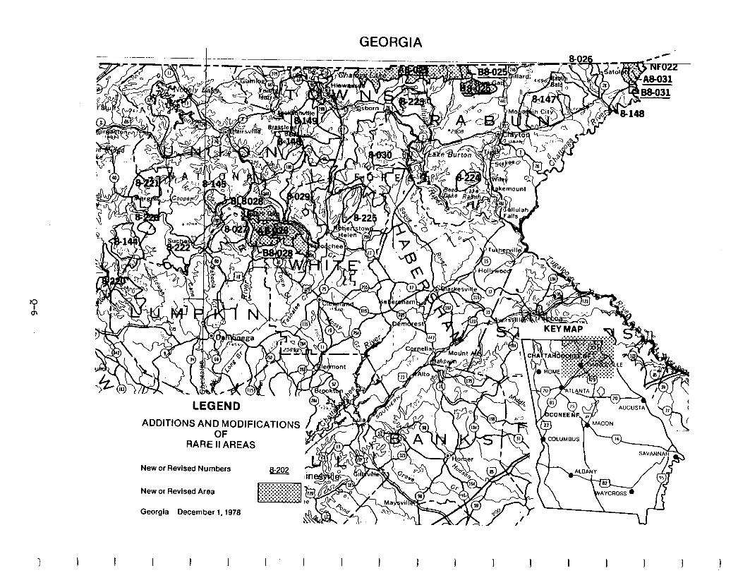
GEORGIA 0
LEGEND
ADDITIONS AND MODIFICATIONS OF
New or Revised Numbers &202
New or Revised Area
Georgia December 1,1978
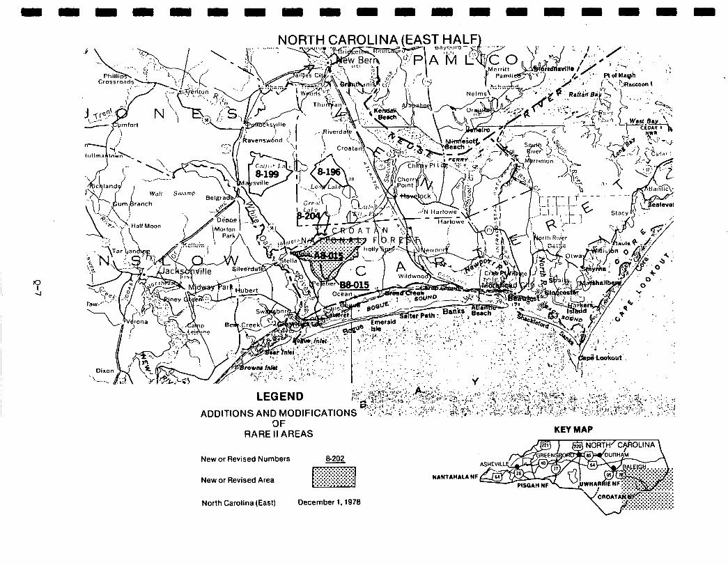
NORTH CAROLINA (EAST HALF)
3F RARE II AREAS
New or Revised Numbers &202
New or Revised Area ~
North Carolina(East) December 1,1978
NANTAHALA Nr
KEY MAP
. . . . . . . . . . . . . . . ... ... . ........... . . . . . :.:.:.:.:.:.:.:.:.:.:.
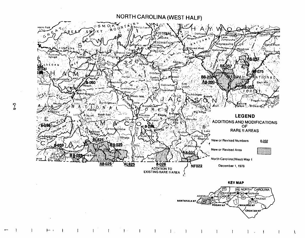
NORTH CAROLINA (WEST HALF)
EXISTING RARE II AREA \ i.
KEY MAP
NANTAHALA NF
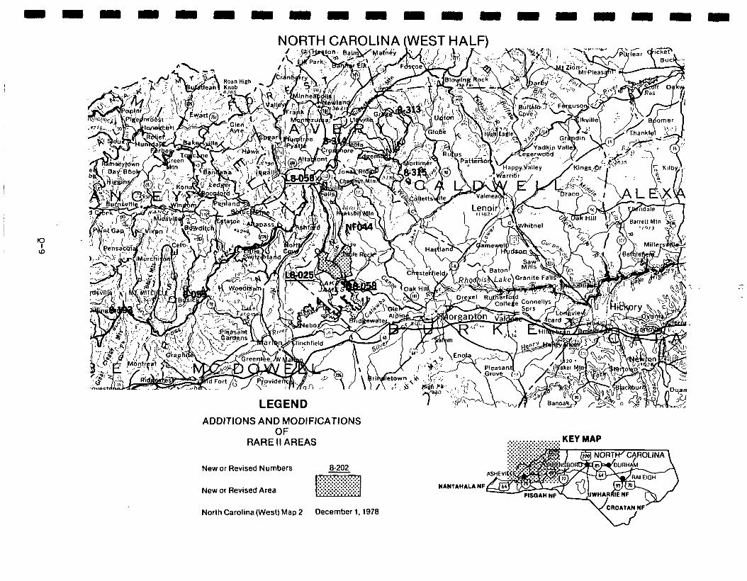
ADDITIONS AND MODIFICATIONS OF
RARE II AREAS
New or Revised Numbers 8.202
New or Revised Area
North Carolina (West) Map 2 December 1,1978
.:.:.:.:.:.:.~:.:.:.:.:.:.:.: KEY MAP
. . . . . . . . . . . . . . .
NANTAHAU NF
WCROATAN w’
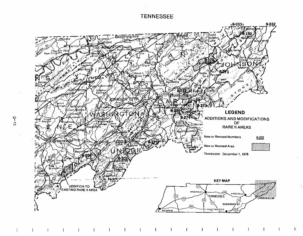
TENNESSEE
LEGEND
ADDITIONS AND MODIFICATIONS OF
RARE II AREAS
New or Revised Numbers
New or Revised Area
Tennessee December 1,1978
8-202
KEY MAP
A,-,D,T,ONTO
EXISTING RARE II AREA
3 I I I 1 I I I I I I I I I 1 I I I
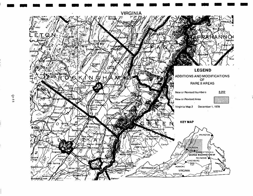
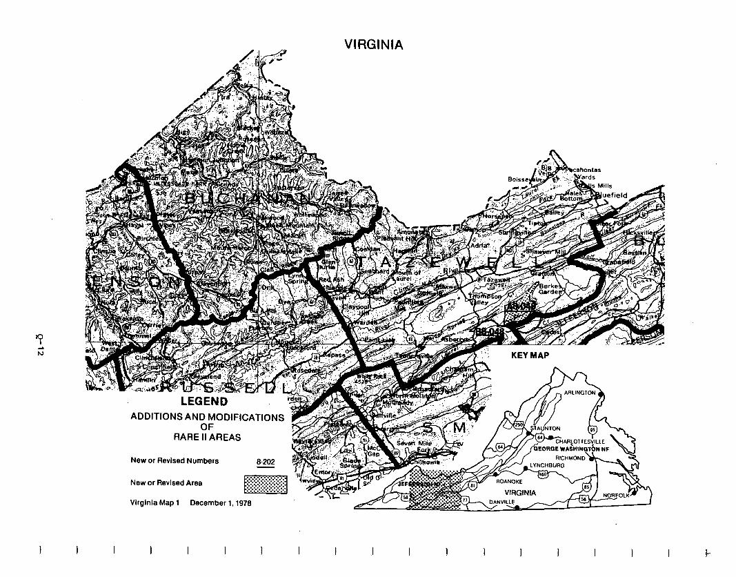
LEGEND ADDITIONS AND MODIFICATIONS 1
OF RARE II AREAS
i
New or Revised Numbers B-202 ?
VIRGINIA
KEY MAP
New or Revised Area
Virginia Map 1 December 1.1978
I I I I I I I .I I I I I I I I I
Social. Implementationof theproposedactionwillaffectrecreationusepatterns, symbolic meaning, andsense of local control in varying degrees throughout the Southern Appalachian and Atlantic Coast region. It is important to note, however, thatsocialeffects resulting from economic impacts are not anticipated to occur since the economic analysis indicates that no multi-county area will experience adverse economic consequences.
Implementationof theproposed action in Tennessee (one area to wilderness, six to further planning, and 14 to nonwilderness) may negatively affect symbolic values derived from wilderness status for all areas except Bald River Gorge. In addition, with the exceptionof Bald River Gorge, itmay preclude dispersed, nonmotorized recreation activities, including primitive hunting and fishing experiences. Designation of all 20 areas to further planning or nonwilderness willensure that existing use patterns will continue and that negative impacts on community lifestyles will be minimized.
On theDaniel BooneNational ForestinKentucky,a sense of loss of localcontrol may result from designation of Clifty as wilderness. Iocal concerns (and non- wilderness preference) are possibly related to the fears that approximately 1,000 acres acres of private land within and adjacent to the Clifty area may be effected by wilderness classification.
Analysis indicates that no significant social effects resulting from implemen- tation of the proposed action will occur in South Carolina.
Although site specific comment on individual roadless areas in Virginia was relatively light, allocation of 12 areas to wilderness will negatively affect existing uses, especially those dependent on vehicular access. Impacts on community lifestyles and motorized recreation activities will be minimized by designation of 13 areas to nonwilderness, but may be negatively affected in minor respects by allocation of 12 areas to wilderness. The reverse is true of wilderness-related symbolic meaning and primitive, nonmotorized recreation uses. Feelingsoflossoflocalcontrolwillbe effected bywilderness designation where nonwilderness preferences were often supported by perceptions that "out- siders" or the Federal Governmentare dictating land allocationdecisions without consideration of local needs or desires.
In Georgia, the proposedaction will enhance wilderness-related symbolic values by recommending areas perceived to contain such values (e.g. Ellicott Bock Extension and Southern Nantahala) for wilderness. The proposed action will also afford some degree of protection to unique wildlife species andimportant wildlife habitat byplacingthem in wilderness status. Nonwilderness allocation of 15 areas will allow existing uses to continue and will minimize adverse effects on employment, social services, and community lifesyles.
Q-13
Socialeffectsresultingfromthe proposedaction inNorth Carolina will be minimal on the Croatanand Uwharrie National Forests. Symbolic values which surfaced in the publiccomment asneeding statutory protection included the variety of unique plantand animal species found in the area. Generally, the proposed action, by recommending PondPine, Sheep Ridgerand Catfish Lake for wilderness will greatly enhance the wilderness-associated symbolic meaning of these areas. In western North Carolina (onthepisgah and Nantahala National Forests) the proposed action will impact senseof localcontrolsomewhat by restricting current uses, especially motorizedrecreation activities,butitwill take pressure off existing wilderness by recommending for wilderness classification areas which are in close proximity topopulationcenters'(e.g., Joyce Kilmer-SlickrockandLinville Gorge Extension). Although the proposed action minimizes adverse social consequences by providing for existing uses and wilderness values, it is anticipated that RARE II issues will continuetobe highlycontroversial becauseofintenselocal feelings regarding land allocation and use.
Economic. A summary of economic impacts for the proposed action is presented in the following table. These are national impacts and may or may not occur in the state specified. Allstate impacts are allocated from the national totals and are based upon state resource changes. They are the state's contribution tothe national impact. For a complete description on how the impacts were calculated see Appendix W.
-
-
-
-
-
-
-
-
-
-
Q-14
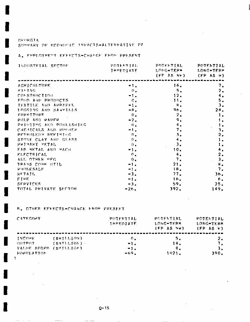
16. 5
1;: 11.
8. 96.
2. 9. 4. 7. ‘J _ .
;: 10.
4. 7.
21. 18. 77. 16. 59.
392.
7. 2. 4. 5. 3.
2H. 1. 1. 1. 3. 7 .* 1. 1. 4. 2. 3. I(. 7.
3h. 6.
25. 149.
POTEkTI AL LCING-TERM
Q-15
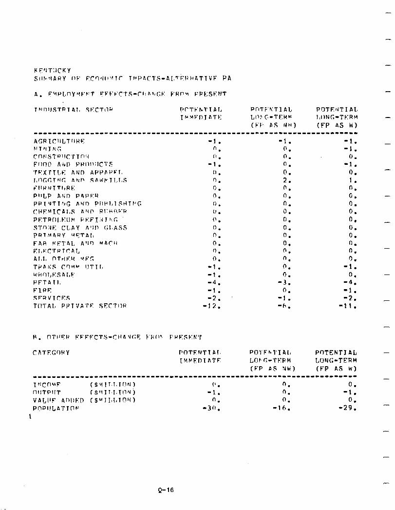
-1. “. i’ .
-1. (1 . 0. 0. n . 0 . 0 . (’ . 0 . 0. 0. ‘1 . 0.
-1. -1. . -4. -1. -2.
-12.
-1. (’ . 0. 0. n . 2. 0. 0. 0. 0. 0. 0. 0. 0. 0. 0. 0. n
4: 0.
-1. ‘h.
-1. -1.
0 . -1.
0. 1. 0. 0. 0. 0. 0. 0. 0. 0. 0. 0.
-1. 0.
-4. -1. -2.
-11.
-
-
-
-
-
-
-
PO’1 Fh;‘l’IAI, L,OF-G-TERM (F’P AS ?Jti)
Q-16
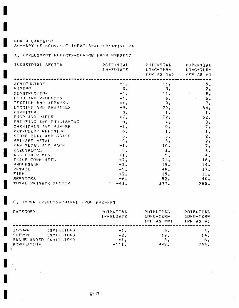
-1. 11. 9. 0. 3. 7.
-1. 11. p. -1. 6. 5. -1. 9. 7. -9. 70. 54.
0. 1. 1. -7. 72. 52.
fJ . 4. 3. -1. 9. 7.
0. I. 1. n . 3. 2. 9. 3. 2.
-1. IO. 7. f’ . 3. 3.
-t. 5. 4. -2. 21. 16. -2. 18. 14. -5. 4R. 37. -2. 15. il. -6. 52. 40.
-43. 377. 285.
F’OTEhT I AL LONG-TEHk
Q-17
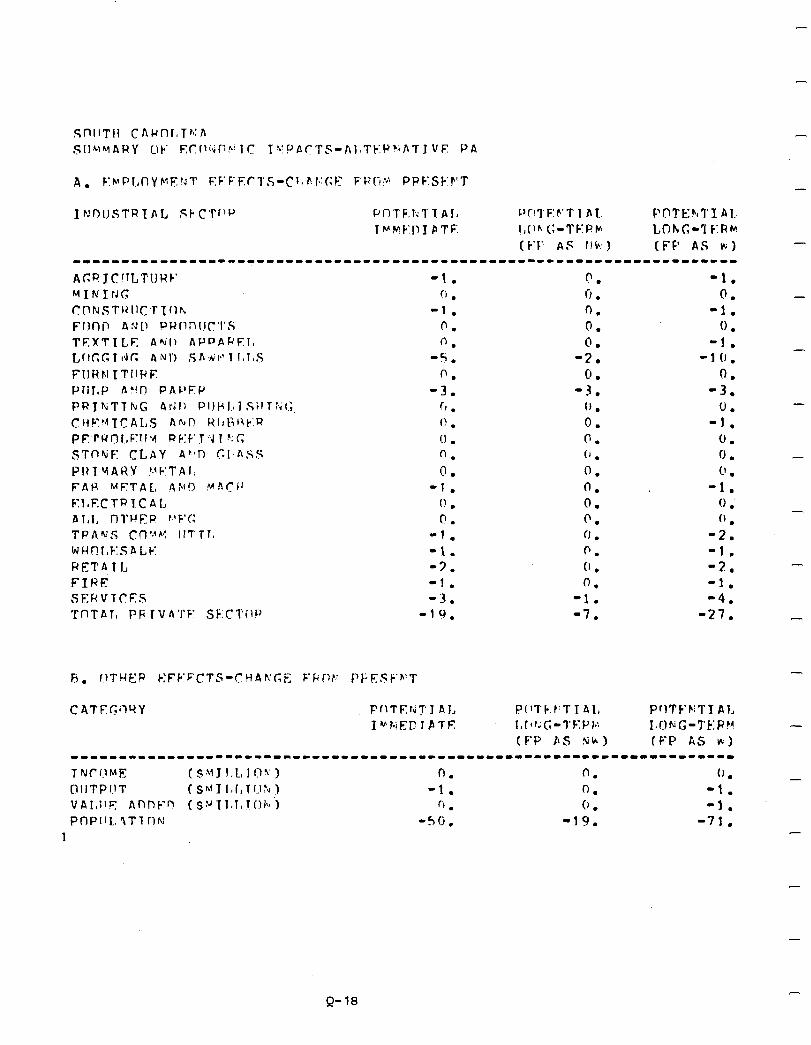
-
-
-1. !I l
-1.
0.
0.
-5.
f-‘.
-3. (1 . I! . !I . n. I) - .
-1. 0 . 0.
-1. -1. -3. -!. -3.
-10.
-1. 0.
-1. 0 .
-1. -l(J.
0. -3.
0. -1.
0. 0 . 0 .
-1. 0 .’
0 . -2. -1. -2. -1. -4.
-27.
-
-
-
(F-D PS Nh) (F-P kS #I -------I----I-----LI----------~-------------------------------------- TNCIlME ( $Y J I;L, 104 ) f-J. n. (J . - @IITPl.lT (sflII~r,TI?:~) -1. 0. -1. vAI,IIr Annb-n (S:~~l~l,Ti~h~‘) 6 . 0 . -1. PnPlIL. ‘ITT flfd -5ci. -19. -71.
1 -
Q-18
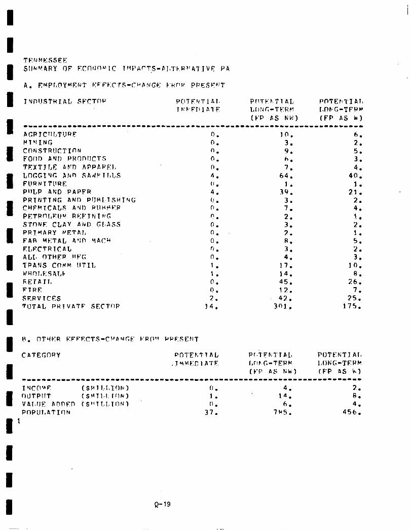
I I VPUSTHXAL SFCTr!P J’Q’J’F4Tl 01. PflTb-F.TTAI, PnTEr!TI Al, Tb:P:FIl] ATE 1, r J ;J C-T b: H P? I,flF;G-TFPP
I
(k.P PS FjbJ) (FP AS kr) --------o------------------------------------------------------------ AC;R JCllf.,T?1RE VTVINT;
I CntiSTRUCTInN Forlo ANJ) PWOI)IICTS TFXTJl,E Ah’l7 APPAPE:It LIXGI Yc, AtvJn SAd!‘T J,LS FURNTTllRE PllLP 4ND PAPFR
1 ficrfi rr, FTRE SERVTCFS TIJTAL PUT VATF SECTflP
1
0. 0. n. 0. 0 . 4. (’ . 4. (! . 0. “. 0. 0. 0. 0. 0. 1. 1. 0. f! .
7. 14.
JO. 3. 9. h. 7.
64. 1.
39. 3. 7. 2. 3. 3. R. 3. 4.
17. 14. 45. 12. 42.
301..
6. 2. 5. 3. 4.
40. 1.
21. 2. 4. 1 .- . 2. 1. 5. 2. 3.
JO. 8.
26. 7.
15. 17s.
H. nTill-:R EFPFICTS-CUPNGF I-‘R!~b~ PPF:SEClT
CI\TEC;ORY PfJ’I’EPiTT AL P!~i‘FrrfPL, POTt;:KTJ AlI
l
. T vYF:l: I ATE I,T!F.G-TERM ItC,NG-TFUM (F-P AS Nk) (F-P AS k)
---------------------------------------------------------------------
I YCD”E WiPllT
($14 I r,r,InF) 0 . 4. 2.
I (SMT1,l. ION) 1. 14. 6.
VAl.llE: hnnf!Yn f .S’*T!..L.Tf!rJ) (1 l 6. 4. Pf-iPlII,ATIfIN 37. 7ws. 456.
I 1
Q-19

i!
0:
-1.
0.
-1.
-6. 0.
-14. 0.
-1. 0 . CJ . 0 .
? 1.. f) . 0 .
-2. -2.
f! . -1. -!i.
-34.
7. 4. 4. 2. CI. 3. 5. 3 . 5. 2.
13. 3. 1. r).
39. 17. 3. 1. 5. 3. 2. 2. 7. 1. 7. 1. 5. 3. 2. 1. 4. 7.
17. 6. 9. s,
3R. 23. 9. S.
36. 19. 209. 105.
Pf’TF’kTIAl, Lf!'i!;-TERM (F’P AS KW)
-
-
-
-
-
-
-
-
-
-
-
-
-
Q-20

I
I UNIT
Present
E ommercial Forest Land - (M acres)
I Hardwood Saw-
timber - (MMHF) ardwood
Products - (MMCF) Softwood Saw-
timber - (MMBF) oftwood
Products - (MMCF)
I Developed Rec.
I
Picnicking -(MRVD)
Camping -(MRVDl
I Skiing -(MRVD)
Water -(MRVD)
Unbuilt -(MRVD)
ispersed Ret+ Motor -(MRVD)
I Nonmotor -(MRVD)
ig Game Hunting -(MRVD)
Small Game
c
Hunting -(MRVD) onhunting
-(MRVD) Fishing
I -(MRVD)
Grazing
I Cattle - (AUM)
Sheep - (AmI
I Common - (AUM)
RESOURCE OUTPUTS WlTH THE PROPOSED ACTION GEORGIA
TOTAL INVENTCRY OUTPUT-FP as NW OUTPUT-FP as W
Potential Present Potential Present
Immediate Long-term Immediate output output Output
Potential Long-term
Output
215,909 215,909 175,357 175,357 84,479 84,479
6.4 18.7 4.9 15.0 2.7 7.3
0.2
2.2
0.1
7.0
0.0
0.0
0.0
33.0
97.9
0.3 0.1 0.1 0.1 .l
14.7 1.8 11.9 1.1 6.1
0.6 0.1 0.4 0.0 .l
10.0 7.0 10.0 7.0
0.0 s
0.0
0.0 0.0 0.0
0.0 0.0 0.0
0.0 0.0
146.0
0.0
141.6
0.0
10.0
0
0
0
75.4
23.4 28.1 22.6 17.5
153.3 103.7 149.5 123.2
11.5
144.1
34.7 56.2 34.4 I 54.2 36.1
37.6 55.7 37.9 53.5 30.8
20.6 27.5 20.6 27.4 26.2
37.2 53.5 36.8 52.0 41.4
0.0 0.0 0.0 0.0 .o. 0
0.0 0.0 0.0 0.0 0.0
0.0 0.0 0.0 0.0 0.0
I
47.2
45.3
27.5
49.0
Q-21

RESOURCE OUTPUTS WITH THE PROPOSED ACTION KENTUCKY -
TOTAL INVENTORY OUTPUT-FP as NW OUTPUT-FP as W
UNIT Present
Commercial Forest Land - (M acres) 17,523 17,523 6,533 6,533 3,949 3,949 -
Hardwood Saw- timber - (MMBF)
Hardwood Products - (MMCF)
Softwood Saw- timber - (MMBF)
Softwood Products - (MMCF)
0.1
0.0
0.0
0.0
Developed Rec. Picnicking -(MRVD)
Camping.-(MRVD)
Skiing -(MRVD)
Water -(MRVD)
Unbuilt -(MRVD)
Dispersed Rec. Motor -(MRVD)
Nonmotor -(MRVD)
Big Game Hunting -(MRVD)
Small Game Hunting -(MRVD)
Nonhunting -(MRVD)
Fishing -(MRVD)
Grazing Cattle - (AUM)
Sheep - (AUM)
Common - (AUM)
Present Potential Potential Immediate 'Long-term
Output Output
0.6 0.1 0.2
0.0 0.0 0.0
0.6 0.0 0.3
0.0 0.0 0.0
6.4 6.4 0.0 0.0
0.0 0.0 0.0 0.0
0.0 0.0 0.0 0.0
0.0 0.0 0.0 0.0
90.0 0.0
2.1 1.5 2.1
21.2 21.2 13.6
5.6 5.6 5.6
5.6 6.5 5.6
2.0 2.0 2.0
3.0 3.0 3.0
100 0.0 0.0
0.0 0.0 0.0
0.0 0.0 0.0
i.5 0.6
13.6 15.1
5.6 3.6 3.6
6.5 5.6 6.5 -
2.0
3.0
2.0
3.0
2.0 -
3.0
0.0
0.0
0.0
-
Present Potential - Immediate Long-term
Output Output -
- 0.0 .l
0.0 0
0.0 .2
0.0 0 -
0.0
0.0
0.0
0.0
0.0
0.0
0.0
0
0
0
0
-
-
0 -
0
15.1
- 0
0 -
0
Q-22

I RESOURCE OUTPUTS WITH THE PROPOSED ACTION NORTH CAROLINA
I TOTAL INVENTORY OUTPUT-FP as NW OUTPUT-FP as W
I UNIT Present Potential Present Potential Present Potential Immediate Long-term Immediate Long-term
Output Output Output Output
I Commercial Forest
- I Land (M acres) 199,610 199,611 130,137 130,137 120,226 120,226
Hardwood Saw-
L timber - (MMHF)
ardwood Products - (MMCF)
I
oftwood Saw- timber - (MMHF)
Softwood Products - (MMCF)
Developed Rec.
I I 1
Picnicking -(MRVD)
Camping -(MRVD)
Skiing -(MRVD)
Water -(MRVD)
Unbuilt -(MRVD)
I ispersed Rec. Motor -(MRVD)
Nonmotor -(MRVD)
b ig Game Hunting -(MRVD)
Small Game
I Hunting -(MRVD)
onhunting -(MRVD)
ishing -(MRVD)
c razing Cattle -
Sheep -
I Common -
I
(Am)
:AUM)
(Am)
7.6 18.1
1.1 3.1
2.5 10.7
0.4 2.6
6.6 14.5 6.1 12.8
1.0
1.8
0.2
2.5 1.0 2.1
8.5 1.4 7.4
2.0 0.1 1.6
3.6 4.0 1.6 2.0 1.6
2.7 3.2 2.5 3.2 2.5
0.0 0.0 0.0 0.0 0.0
0.0 0.0 0.0 0.0 0.0
41.0 38.4
16.4 16.0 12.1 11.7 11.3 10.5
174.1 197.3 175.2 191.6 173.8 186.3
37.9 44.5 37.5 42.4
48.4 56.3 48.5 54.2.
11.5 17.2 12.5 17.1
30.5 33.6 31.1 33.0
0.0 0.0 0.0 0.0
0.0 0.0 0.0 0.0
0.0 0.0 0.0 0.0
Q-23
37.9
48.0
13.2
31.3
0.0
0.0
0.0
2.0
3.2
0
0
37.6
41.9
52.1
17.1
32.3
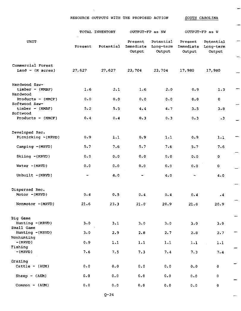
UNIT
Commercial Forest Land - (M acres)
Hardwood Saw- timber - (MMBF)
Hardwood Products - (MMCF)
Softwood Saw- timber - (MMBF)
Softwood Products - (MMCF)
Developed Rec. Picnicking -(MRVD)
Camping -(MRVD)
Skiing -(MRVD)
Water -(MRVD)
Unbuilt -(MRVD)
RESOURCE OUTPUTS WITH THE PROPOSED ACTION
TOTAL INVENTORY OUTPUT-FP as NW
Present Potential Present Potential Immediate Long-term
Output Output
27,627 27,627 23,704 23,704
1.6
0.0
5.2
0.4
0.9
5.7
0.0
0.0
2.1
0.0
5.5
0.4
1.6 2.0
0.0 0.0
4.4 4.7
0.3 0.3
SOUTH CAROLINA
OUTPUT-FP as W
-
Present Potential - Immediate Long-term
Output Output -.
17,980 17,980 -
0.9 1.3 -
0.0 0 -
3.5 3.8
0.3 .3 -
1.1 0.9 1.1 0.9 1.1 -
7.6 5.7 7.6 5.7 7.6 -
0.0 0.0 0.0 0.0 0
0.0 0.0 0.0 0.0 0 -
4.0 4.0 4.0
Dispersed Rec. Motor -(MRVD)
Nonmotor -(MRVD) 21.6
0.4 0.5 0.4 0.4 0.4 .4 -
23.3 21.0 20.9 21.0 20.9
Big Game Hunting - (.
Small Game Hunting - (.
Nonhunting -(MRVD)
Fishing -(MRVD)
Grazing
MRVD)
MRVD)
Cattle - (AUM
Sheep - (AUM)
Common - (AUM
3.0
3.0
0.9
7.6
0.0
0.0
0.0
3.1
2.9
1.1
7.5
0.0
0.0
0.0
Q-24
3.0 3.0 3.0 3.0
2.8 2.7 2.8 2.7 -
1.1
7.3
1.1 1 .,l 1.1 -
7.4 7.3 7.4
0.0
0.0
0.0
0.0 0.0 0. -

RESOURCE OUTPUTS WITH THE PROPOSED ACTION TENNESSEE
I UNIT
Commercial Forest
I Land - (M acres)
ardwood Saw- timber - (MMHF)
ardwood
E
Products - (MMCF) oftwood Saw-
timber - (MMHF) Softwood
I Products - (MMCF)
P eveloped Rec.' Picnicking -(MRVD)
I Camping -(MRVD)
Skiing -(MRVD)
Water -(MRVD)
Unbuilt -(MRVD) 56.4 46.4 28.0
a ispersed Rec.
I
Motor -(MRVD)
Nonmotor -(MRVD)
I ig Game Hunting -(MRVD)
a
mall Game Hunting -(MRVD)
onhunting
I -(MRVD)
ishing -(MRVD)
I razing Cattle - (AUM)
I Sheep - (AUM)
Common - (AUM)
TOTAL INVENTORY OUTPUT-FP as NW OUTPUT-FP as W
Present Potential Present Potential Present Potential
Immediate Long-term Immediate Long-term Output Output Output Output
126,926 126,926 123,099 123,099 91,303 91,303
2.0 7.6 2.2 7.4 1.6 5.3
0.2 1.0 0.4 1.0 0.2 .5
2.9 10.0 3.4 9.2 2.3 6.9
0.3 1.1 0.3 1.1 0.3 .8
4.7 5.6 0.0 0.0 0.0 0
2.6 3.1 2.6 3.1 2.6 3.1
0.0
0.0
0.0
0.0
0.0
0.0
0.0
0.0
0.0
0.0
0
0
53.2 65.5 53.1 65.4 43.1 49.9
94.0 115.4 94.2 115.5 102.0 117.0
18.6 23.9 18.6 23.9 17.4
29..2 34.7 29.2 34.7 28.9
22.7 25.7 22.7 25.7 23.6
24.3 28.1 24.4 28.1 25.2
0.0 0.0
0.0 0.0
0.0 : 0.0
Q-25
0.0 0.0 0.0
0.0 0.0 0.0
0.0 0.0 0.0
21.4
33.0
25.7
27.2
I

RESOURCE OUTPUTS WITH THE PROPOSED ACTION VIRGINIA
TOTAL INVENTORY OUTPUT-FP as NW OUTPUT-FP as W
UNIT Present
Commercial Forest Land - (M acres) 203,526 203,526 150,043 150,043 99,029 99,029
Hardwood Saw- timber - (MMBF)
Hardwood Products - (MMCF)
Softwood Saw- timber - (MMBF)
Softwood Products - (MMCF)
2.3
1.3
1.1
0.8
Developed Rec. Picnicking -(MRVD)
Camping -(MRVD)
Skiing -(MRVD)
Water -(MRVD)
Unbuilt -(MRVD)
Dispersed Rec. Motor -(MRVD)
Nonmotor -(MRVD)
0.0
1.0
0.0
0.0
11.4 20.3 9.4 17.3
55.9 87.0 89.9 109.0
Big Game Hunting -(MRVD)
Small Game Hunting -(MRVD)
Nonhunting -(MRVD)
Fishing -(MRVD)
Grazing Cattle - (AUM)
Sheep - (AUM)
Common - (AUM)
53.9
42.0
11.0
24.5
270
90
0.0
Potential
6.1
4.2
2.6
1.9
0.0
3.0
0.0
0.0
0.0
Present Potential Present Potential Immediate Long-term Immediate Long-term
Output Output Output Output
1.5 4.1
0.8 2.5
0.7 1.5
0.6 1.4
1.1 2.7
0.6 1.7
0.5 1.1
0.5 1.1
0.0
1.0
0.0
0.0
89.4 49.9
70.1 39.8
16.0 10.0
34.5 22.5
450 270
150 90
0.0 0.0
Q-26
-
-
-
0.0 0.0 0 -
3.0 0.0 0 -
0.0 0.0 0
0.0 0.0 0 -
0.0 0
78.4 47.9
63.2 37.0
64.4
- 53.2
16.0 11.0 14.0
28.5 22.4 26.1
450
150
0.0
5.3
106.9
270
90
0.0
-
8.3 -
118.0
-
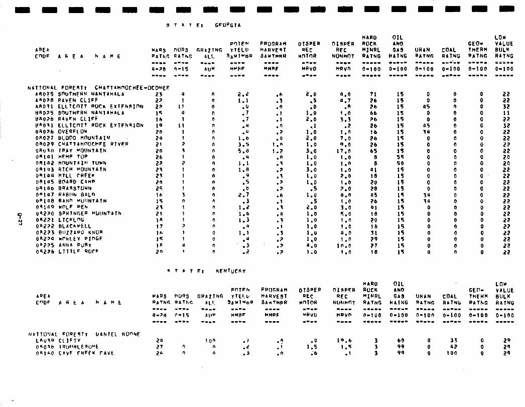
kATTONAL FORE9Tr CMATT~MOCHEE-OCONEF A9025 Q~UJTHEWN NANTAMALA ASOP RAVEN CLIFF AR011 ELLlCnT7 DUCK EXTFkSInN Bn025 SCN.JTHFRN NAYTAHALA tl~Ot?b RAVFN CLIFF HfiO11 ELLTCnTT ROCK EYTFN~ION 090?6 OVEQFl IIW On027 BLOC'0 WUNTAIN 04029 CHATTAlinOCk’FE RTVFR ORt.110 TPAY ~OllNtAlN ~)alOl HFMP TOP 08102 HflUNTAI~l TUWN 09103 RTCH POUNTATN O*lUU MTLL CRFEr 091uS BOARD CAMP U81Ub BQA9STWN Onlo RABllh LSALr, 6PlU8 RANn WJ'JNTAlN OS109 wnLF pE!u OS220 QPRTNGER ~UllNTATh
OR221 LTCKLW Ofi+??? BLACkvELL 09273 BllZ7AoD KNOR Oq2>4 hPkl.tv PInGF IJ~~?S ANNA PURV 0Q2Zb LTTTLC ‘WCC
ADEA
C"DF AREA NAnt
NATTU’JAL F@QE9Tr DAhTEL RD"hF LRIJX~ CllFTv OSOl.5 Tf?Ulf4LE~U”‘t OalhO CAvF CWFEW rAVE
23 22 22 14 10 10 2a 24 21 20
9: 21 23 20 25 lh 15 21 21 la 17 16 15 lP 2n
u n 1 n
l! 0 (1 0 1 0
11 0 1 0 1 'l z 0 3 n 1 n 2 n 1 n 1 n I n t n 3 '-J n n I n I n 1 n z n 1 0 1 0 a 0 1 I\
2.2 1.1
:‘;
0. 7 .Q .u
l.b 3.5 5.d
.u 1.1 1.8
:S
l . t! 2.7
.3 1.2 1.6 1.3
.a 1.1
.‘( 0. 3 .2
a T A T F: KFNTUCKY
20 1 on .‘I 27 n n .L
PROCRAW MARVEsT SAWTMRH
:O .Q .1 .l .n
? . .a
1.n 1.2
.n
.I
.Z
.t
.Z
.I
.6
.l
.'1
.a
.i
:: .? .? .?
2.0 -5
1:: 2.0
? 1
:*: l:o 3.0
P8 310
2; :s
1.u .5
2.0 1.0 1.0 1.0 1.0 l,O 0.0 1.0
a.0 11.7
9 . .
::i .Z
1.0 7.0 0.0
17.0 1.0 1.n 1.0 2.6 1.0 ?.O 0.n 1.0 3.0 5.0 1.n 1.0 a.@ 1 .fl
In.0 1.0
.‘I
.i 1:: ; 6
10.6 1.5
.l 3 99 0 100 0 29 2h 0 r! .3 .n
HARD OIL ROCK AND MINRL GA9 QATNG HATNG -11-m -1111 O-1 00 O-100 m-m-m -1-m.
71 26 26 66 ?b 26
:: 26
b5
:
41 18 20 20 05 26 01 18 20
:; 29 27 10
:z 1s 15 15 15
:: IS 15 55 50 15 15
t; 1s 15 15 15 15 15 15 15 15 15
HARD OIL ROCK AND “INRL GAS RATNG h4TNG -.I.- m-w-. n-i00 O-100 m-.-m --mm.
3 3
60 99
URAN COAL QATNG RATNG ---co me--e- O-100 O-100 --m-m l.LII
0 0 0 0
45 'l 0 0 0 0
115 0 30 0
0 0 0 0 0 0 0 0 0 0 0 0 0 0 0 0 0 0
34 0 3u 0
0 0
: 0 0
0 0 0 0 0 0 0 0 0 0
O 33 0 29 0 42 0 29
GEO- THERM RATNG
o.oo= O-100 m-.-m
8 0 0 0 0 0 0 0 0 0 0 0 0 0 0 0 0 0 0 0 0 0 0 0 0
LOW VALUE BULK R4lNG 0cP-w O-100 m-m..
55 32 11 22 32 22 22 22 22 20 20 22 22
55
53 22 22 22 22 22 22 22 22
LOW VALUE BULK RATNG w-m.. O-100 m-11-m
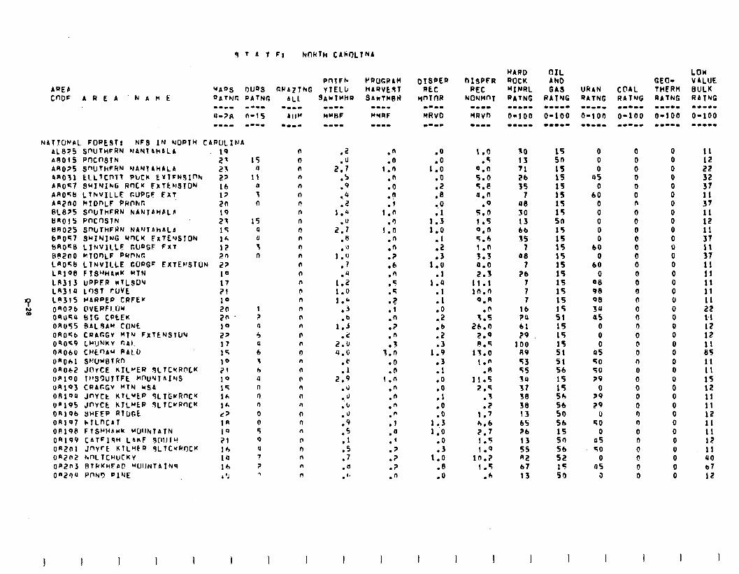
9 T 4 T F: NnHTh CAkl)LTNA
NATIONAL. FOPESTI NFS IN lUOPTH CARLILINA AL835 SnUTiiFRN MAN1 ActALA A80lS Pf-KnSTN AR075 !3nUTHFRN WANTAhALA AR031 LI.LTCnTT PWk EYTFNSInh APO<7 SUIYIM Rf’IC’( FXTtr1STDN AA056 LTlrVlLLF r.UPGF FXT An200 C(IDhLF PRnhpI 0l.875 SWTHFRN NANTAHAL6 tJnOl5 PnCnSTN 89025 SnIJTHFHN NANTAhALA baO57 3uINlNG Yr)CK FxTEuSION bROS8 LItrVlLLE GLIQGF FXT BR200 WTDnLF PUpkr. LnOqb LTNVILLE GOPGF EKTE~STON LA198 F TS’WArrK MTN
LR313 UPPCR nTLSO’J Lf43lU LWT fUVE
9 L83lS I’ARPEP CRFEW
E QaO?b OVERFI.IJw ORUqU BIG CPtEK OR055 BALSAM CONL OAO5b CQAr.GV HfN FXTENQTUY OSOG9 LYIJNKV r.41.
OAObU CHLQAM PAID onoh1 S~!UwbTRn On062 JnrCE kIL”ER SLTCrRr’LK ofi TI’SQUJTFk MW’JTAINS on103 CPACGV HTN US4
OAlQU JnYCt ItlLyEP SLI&vRnCK on195 JnVCk KlLMtP JLTCvRnCK Onlob SHEEP RTDGE OR197 k.TLnCAT OA19b FlSWArrk k’UlllrrfATN 04199 CATFlqM L&RF dlllllu On201 JnVrE KlL’fFa 9Llt~WCK On?n2 ML TCHUCKV OR2n3 RT~KHFAT! ~UIINTATNS
Oa2Qu PnN9 Pl’JE
IQ 2' 23 22 lb 17 2n 19 21 1T lh 1Z 20 27 10 17 71 10 2n 2n 19 27 17 15 10 21 19 15 1A 1A d7 1n 10 21 16 1U lb ,1: .
15 n
11 a
3 0
15 4
P n
1 7
n
5 U 6 1 6 4 n 0 n 0 0 5 9 u 7 7 ?
PfITFh P.PAzT)UG YYELI,
SAWTM~Q
n 0 n n n
0 n n n
0 n n n
n n n
d n n n n
0 n 0 n n
0 n n n
0 0 n
n n n n
n
.2
.u 2.7
.s
.9 24 .2
1.4 2:;
.n
. iJ
1 .‘J .7 .u
1.2 1.0 1.6
.j
.o 1.3
2:: cl.6
:I 2.9
.u
.u
.b
.J
.9
.5 .l .5 .7 .e . '8
.n
.a 1.0
.n
.o
.F
.l 1.n
.‘) 1.0
.n
.n
.?
.e .‘J .5 .5
.?
.I
.n
.7
.n
.3 3.0
.o l ?
1 .n .” .n .n .n .T .a .’ .7 .? .? .n
.O
.o 1.0
.o
.2
.8
:i 1.3 1.0
:: .3
1.0 .l
1.U .I .l .o .2 .b ..2 l 3
1.9 .3 .l .O
:‘i .O .o
1 ..3 1.0
.o
.3 1.0
.8
.O
1.0 30 .f 13
0.0 71 5.0 26 9.e 35 4.n 7
.Q 08 5.0 SO 1.5 13 0.0 bb 5.0 35 1.0 1 3.3 06 a.0 7 2.3 26
11.1 7 in.0 7
9.n 7 .P lb
3.5 ?U 26.0 bl
2.0 29 P.5 100
13.0 A9 1.n 23
.n 55 11.5 54
7.5 31 .3 38 .z 38
1.7 13 h.6 65 2.7 26 1 .s 13 1.9 55
in.? A2 1.5 b7
.6 13
WARD OIL ROCK AND HINRL GAS PATNG RATYG .-mm. ..ww-
0-100 O-100 -WI-. -..e-
15 so 15 15 15 15 15 15 50 15 15
:: 15 15 15 15 15 15 51 15 15 15 51 51 56 15 15 Sh 56 50 56 15 50 56 52 15 50
WAN COAL QATNG RATNG .-m-m mm-11 O-1 on O-100 .-w-m -e-m.
0 0 0 0 0 0
05 0 0 0
60 0 0 n 0 0 0 0 0 0 0 0
60 0 0 0
60 0 0 0
00 0 98 0 98 n
34 0 45 0
0 0 0 0 0 0
05 0 50 r) 50 0 29 0
0 0 ?9 0 29 0
0 0 50 ‘l
0 0 U5 0 50 @
0 0 95 0
3 0
GEO- THERM RATNG m-m.1 O-100 ..--.
0 0 0 0 0 0 0 0 0 0 0 0 0 0 0 0 0 0 0 0 0 0 0 0 0 0
: 0 0 0 0 0 0 0 0 0 0
LOW VALUE BULK RATNG -e-1- 0-100 -w...
11 12 22 32 37
:: 11 12
:: 11 37 11 11 11 11 11 22 l.1 12 12 11 85 11 11 15 12 11 11 12 11 11 12 11 40 b7 12
1 I
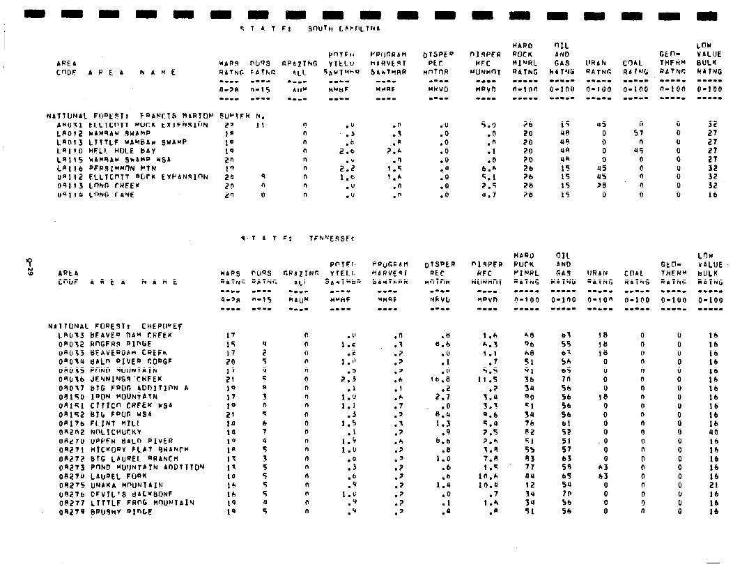
NITJUNbL FIJPEFTt FaANClS MaRlOF’ PRO>1 El LICnTt DUCK tXIFhSlnN LAO12 WbM’lA~ 9WbHP Leo13 LlTTLF ubw6Arr SWAMP La)!0 HtLI. WLE bAV LA115 WAMSAY 9a4MP USb LnIlb PFR.SI~W?N PTN on112 ELLTCPTT “CCM EYPIINqInN 041f3 LnkG CWFEK UnllU LnNG CAYE
.o
.O
.o
.O
.O
tu .O
9. 0 .O
5.9 26 .O 20 .n 20 .l 20 .b 20
6.k 26 5.1 ?b 2.5 26 u.7 ?&I
15 48 UR UR UR
15 15 15 15
as 0 0 0 0
us us 28
0
.‘J
.J ‘3
2::
2:; 1.0
.u
. ‘J
.n
.3 P
;:A .fl
1.6 1.h
.n
.n
PIgPEP RFC
NllNHnT -m-N
fwvn
HPQD PUCK "INRL R4TNG
I.6 &B
h.3 qb
1 .l hB
.7 51 5.5 91
11.5 36
.? 3u 5.u 90 3.3 =I 0.6 3U
q.4 76 ?.5 e2 2.6 =I 3.4 55 7.8 83 1 .e 77
10.6 00
lo.0 I2 .7 3U
1 .h 34
.R 51
lb lb lb 16 lb 16 16 lb lb lb lb uo I6 lb lb lb lb 21 lb lb lb
-
x ro ARt4
CWJF AREA NAMt w--w
M~ilF mm--
. 1’ 1.c
.c 1 .”
2::
1:; 1.1
.J 1.5
.l 1.S 1.u
.Q
.3
.6
.9 1.G
.q
.Q
P0yc.S btl HhRVEQl SbrlTC;Rl(
-w-w
UtlQF em--
.0
.3
.?
.p
.’
.c! .l .h .7 .2 .I .p .h .? .’ .? .?
? . .p .? .’
;e 6.6
.o
.I
.o 16.8
2:: .O
8.U 1.3
.9 b.6
.u 1.0
.b
1:: .o .l .u
N4llCJ’JAL FORESTt CHEPWEF LR(r;J bFAVEQ OAM CRFEK OR032 RnGFR3 RXnGE OROf3 BFbVLPOAM CREFh omo3u ebLn Pxv~a GOQGF 04035 PQNP WIJNTblh 090;b JENNING9 ‘CHFEK 04017 btt FQOG !DDITIt’N b 08150 I’WN MOUNTATN OR151 CllICn CRFEK k.54 OR152 BI(r FPLlr, US4 ORltb FLINT MILK oRZn2 WLfCHUCKY OR270 UPPFW 6ALn PIVER OR271 HICKORV FLAT qR4NrH OP272 blG Lbu@El. aRANCH 04273 POND “UIJNTPTN 4DDTTTDY
OA27U LAUREL FWK 00275 UNPUA klrIJ’Jl4IN 09276 CFVlL’S dbC’fbONF 08277 LITTLF FRnG H’?UNTAl’J on279 ~au9hv axnw
03 55 b- 56 b5 In 56 Sb 56 56
i: 51 57 b3 59 b5 54 Id 56 54
18 0 98 0 1JJ 0
0 n 0 0 0 0 0 0
18 n
0 0 0 0 0 0 0 0 0 0 0 n
0 0 A3 0 03 0
0 0 0 0 0 ‘I 0 n
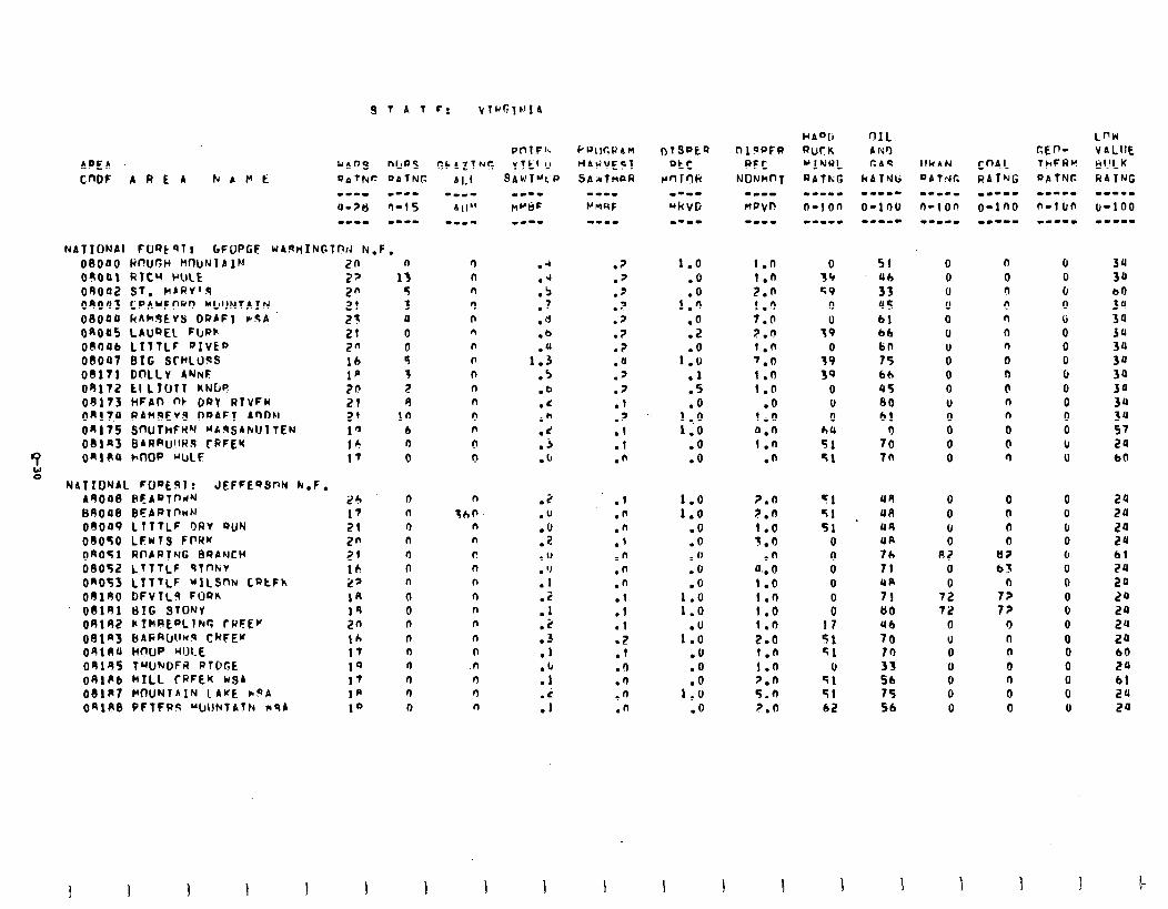
08OfJO HIWCH MnUNT A IN 20 moo\ Qlc.W WLE 27 04002 ST. MARY’S 2" 08003 CPAUFORO ML~IJNTAJN 21 OS000 kAh9EVS ORAFl ?!?A. 25 OnOaS LAuQEL Ff~ar 21 OROJI6 LTTTLF PIVEO 2” 09Oa7 BIG SCHLUSS 16 09171 DnLLv ANNF 1p 04172 LILlUfT KNDS 2s 09173 HFAD nk DRY RlvFM 21 0917.4 RAMQEVS DDAFT AnDAl 2’ On175 SOUThFWbl “AqSAhlJllEN 1” 081n3 BAR~JJ’.~RS CPFEU 16
‘? 04l(rU W-HP “ULF 17
=: NATIONAL FOeE9I: JEFFEQSPN hr.F,
A4000 HEAQTi-'WN 24 Bnooe BEAwlnnN 17 09049 LlT7LF r)Rv RUN 21 08050 LFwlS FI’RK 2n 04051 RnARING BRANCH 21 08052 LTTTLF QlnkV lb On053 LlT7LF "1CSfJN Latfh 27 08190 DFVILS FORn 14 08141 t)IG STONY 14 OAlRZ k?hRE”Llhr; rPFEK 2n t)Ellnj BAGRU!‘wq ChFEK Ih 04lRU HmJP W0l.E 17 04145 TWNDFR R?L’GE 10 OAlPb MILL TRFEK kSA 17 081R7 WftUNTAlN LAKE rQA 1p 04148 PFTFRS 'WlPcfAth mQA 10
.4
:;
.7
.d
.b
.u 1.3
.5
.b
.c
.b
.d
.j
.6
.3
.‘J
:Z
. ‘)
. ‘)
.1
.i
l ! :S .1 :: .i .I
.7
.7
.7
.p
.p .? .? .a .' .7 .f .7 .I .l .fi
.I
.n
.n
.l
.n
.n
.n
.l
.1
.I
.Z .l .I) .n .n .n
DTSPkQ ate
rnrrlli w-e- MhVG m-a-
1.0 .O
1:x .o .i? .O
1.0 .l .5 .O
::; .O .O
1.0 1.0
.O
.O
.u
.6
.o 1.0 1.0
1:: .O .o
1:: .o
1 .n
::::
I.0 7.0 2.0 1.n 7.0 1.0 1.0
.o I.0 0.0 1.0
.n
2.0 2.n 1.0 3.6
.n a.. 0 1.0 i.n 9.0 i.n 2.0 1.0 1.0 7.n 5.0 7.0
51 Ub 33 us Cl 66 6n r5 bb 45 00 61
3 70 7n
44 411 44 UR IL II UA I! 80
48 70 33 56 75 56
0 0 0 0 0 0
i 0 0 V
i 0 0
0 0
i 92
0 0
72 72
0 v 0 v 0 6 0
n 0 r) (I n 0 n 0 0 0 n n 0 0 n
0 0 0 0
82 63
7; 7?
0 0 n a n 0 0
6 0 6 0 (i 0 0 0 6 0 0 0 0 v v
0 0 6 0 u 0 0 0 6 0 0 0 0 0 0 0
34 34
;: 34 3u 34 39 3.4 34 34 34 57 24 b0
24 24
sfi 61 24 20 24 20 24 20 60 20 61 24 24
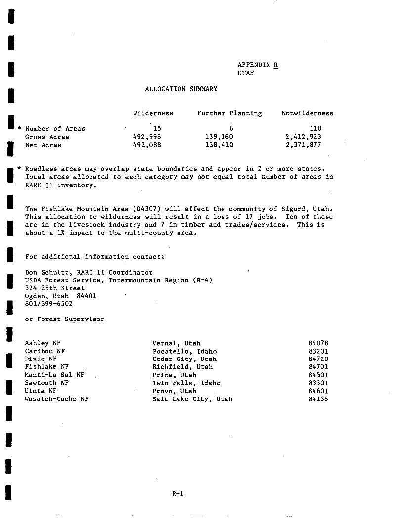
APPENDIX R UTAH -
ALLOCATION SUMMARY
I Wilderness Further Planning Nonwilderness
* Number of Areas 15 6 118 Gross Acres 492,998 139,160 2,412,923 Net Acres 492,088 138,410 2,371,877
* Roadless areas may overlap state boundaries and appear in 2 or more states. Total areas allocated to each category may not equal total number of areas in RARE II inventory.
I The Fishlake Mountain Area (04307) will affect the community of Sigurd, Utah. This allocation to wilderness will result in a loss of 17 jobs. Ten of these
I are in the livestock industry and 7 in timber and trades/services. This is about a 1% impact to the multi-county area.
For additional information contact:
Don Schultz, RARE II Coordinator USDA Forest Service, Inter-mountain Region (R-4) 324 25th Street Ogden, Utah 84401 801/399-6502
or Forest Supervisor
Ashley NF Caribou NF Dixie NF Fishlake NF Manti-La Sal NF Sawtooth NF Uinta NF Wasatch-Cache NF
Vernal, Utah 84078 Pocatello, Idaho 83201 Cedar City, Utah 84720 Richfield, Utah 84701 Price, Utah 84501 Twin Falls, Idaho 83301 Provo, Utah 84601 Salt Lake City, Utah 84138
R-l
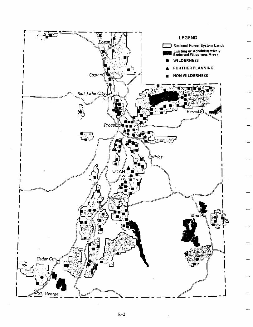
LEGEND
National Forest System Lands
Existing or Administrativelv Endorsed Wilderness Areas
WILDERNESS
FURTHER PLANNING
l NON-WILDERNESS
I
!
I II II
-
I
-----
-
-
-
-
-
R-2
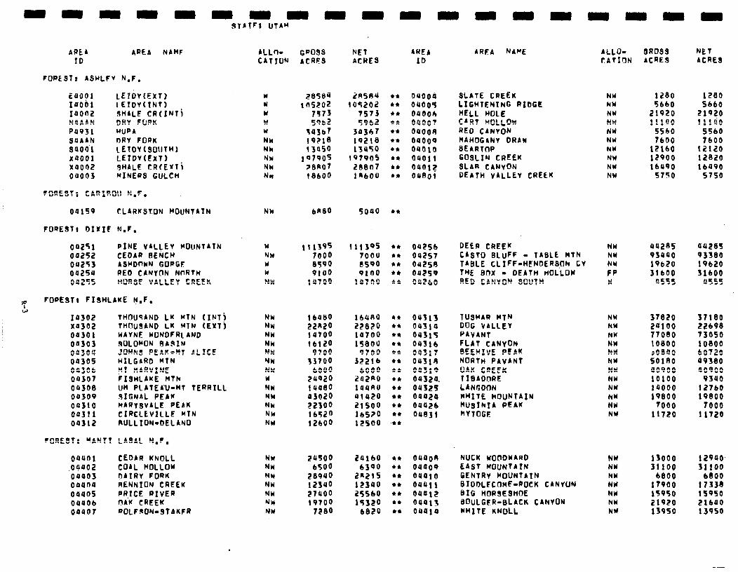
uuuuu uuuu
BROSS ACRES
NET ACRES
1280 1280 5660 5660
21920 21920 11140 11140
SSbO 5560 7600 7600
12160 12120 I2900 12820 lb490 16490
5750 5750
aazes 95440 19b20 31600
055s
aazt3s 93380 19620 51600
US55
37820 37180 ZUlOO 22698 77080 73050 IO800 10800 roeao 60720 SOlRO 49380 40900 40900 10100 9340 1~000 12760 19800 19800
7000 7000 11720 11720
13000 i 2940. 31100 31100
6800 6800 17900 17338 15950 lS9SO 21920 21640 13950 13950
hET ACRE8
AREA AREA NAHF ID
FOREST, ASHLFV N.F.
EUOOl LEYDt(EXT) 14001 LETDV(TN7) 14OO2 SHALE CR(INli NUAAN DRY FORK P4931 WPA SUAAN DRY FORK saoo’l IETDY(SOUThl YQOOl LEtDV(EXT) X0002 SHALE CRfEYTi 0~003 MINERS GULCH
FORESTI CARSROll h.F.
ALLn- CATIW
cposs ACRES
Y u Y w w NY Nk NW NW NW
2850~ 2RSA4 ¶ ns202 105202
7513 7573 5962 5962
54567 34367 19~18 19218 13950 13a50
I9790f 197905 Z8RO7 28807 (8600 14bOU
NH bA80 5040
w NW w w NW
111395 11139s 7000 7000 8590 I?590 9100 9160
14700 14700
NW NW NW NW NW NW NW u NW NY NW NW NW
1 bUb0 22n20 147oo lb120
9700 53700
LOU0 24920 lUQ80 a3020 rzsoo 16520 12600
164RO 2Z8Z0 14700 lS8OU
97OO JZZlb
6000 242*0 144RU 41420 ZlSOO lbS?O 12500
NW 24500 24lbU NW 6500 6390 NY 289UO 2n21s NW 12340 12340 NW 27400 25560 NM 19700 19320 NW 7?8O 6820
AWEA
ID
AMA NAME ALLD- CATION
NW hW NY NW NW NW NY NW NW NW
NW NW NW FP H
NW NW NW NW hY NY NW NW NW NW NY NW
NW NW NY NY NY NW NY
SLATE CREEK LIGWTENING RIDGE HELL HOLE CART HOLLOW RF0 CANVON HAHOGANY DRAW BEARTW GOSLIN CREEK SLAB CANYON DEATH VALLEY CREEK
ouoos 04005 OUOOh 04001 OQOOU oaoo9 oao1o oao11 OUOl? 04SOl
04lS9 CLARKSTON MOUNTAIN
FORE971 DIVIC N.F.
04251 PINE VALLEY MOllNTAIN 04252 CEDAR BENCH 04253 ASHDfWN GOPGF 04254 RED CANYON NnRfH 04255 WRSF VALLEY CREEk
FOREST, FISHLIKE h.F.
l *
DEER CREEK CABTO BLUFF - TABLE HTN TABLE CL IFF-HENDERSUh Cv ThE BOX - DEATH MLLOW RED CANYON SOUlh
OQZSb 04257 OUESU 042s9 OU?bO
14302 THOU9AND LK MTN (INTj x4302 THUUSAND LK MTN (EXTj OQSOI WAYNE KONDFRL AND
04303 WLOMON RARIN 04304 .lOhNS PEAK-MT ALICE 0430s HILGARD Rlh 04306 KT MARVINE 04307 FISHLAKE hTh 04308 Uh PLATEA’U-MT TERRILL 04so9 SIGNAL PEAK 04310 MARySVALE PEAK 04311 CIRCLEVILLE Klh 04312 RULLION-DELANO
0431s 04514 OUJlF oaflb au317 oas19 04319 04324. oust5 04424 OUUEb Oa83l
TUSHAR MlN DOG VALLEY PAYANT FLAT CANYON BEEHIVE PEAK NORTH PAvANT OAK CREEK TIBADORE LANGDT)N WHITE hOUNfAfN hUSINTA PEAK hVTOGE
FORESTt “ANT1 LASAL N.F.
oauoi CEDAR KNOLL .04402 COAL HOLLOW 04403 DAIRY FORK ooana RENNION CREEK 0440s PR,ICE RIVER 00UOb nAK CREEK 00407 ROLF9ON-STAKFR
04400 04409 oa410 oau11 04412 0401s oa414
NUCK KOClDUARD EAST MOUNTAIN GENTRV MOUNTAIN BIDDLFCOME-ROCK CANYUN BIG HORSESHOE BUULGER-BLACK CANVON KhITE KNOLL
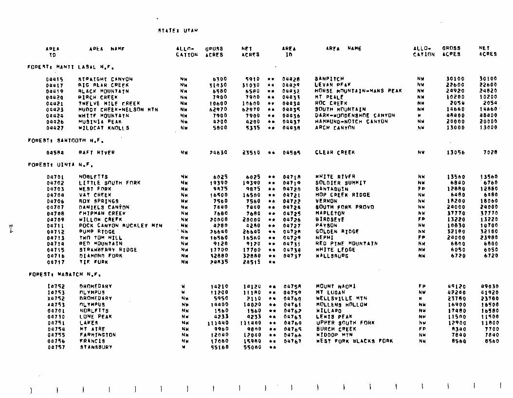
dlAlE: UTAu
AREA ARCA hAMF ALL- GWlfSs hE1 AREA 10 CATION ACRES ACRFS ID
FOREST, MAN11 LASAL N.F.
0041s 3lRAlGHl CANYON NN b3o0 5910 l * 04428 SANPIttH NW 30100 30100 00417 RIG RtAR CREEK NW 31r)3o 31030 l * 04429 LEVAN PFAK P(Y 22bOO 22600 04419 RLACK MOUNTATN NH b580 6580 l * oua32 HORSE hnuNlAIN-MANS PEAK NW 24920 24820 04420 PfRCW CREEU Nk 7900 7900 l * 04433 MT PEALE NW 10200 10200 04421 TWELVE MILE CREEK NW 10600 1 r)bOo l ,t 04434 Rot CRE’FK NW 2054 2054 00423 MUDDY CREEK-NELSON M7N NJW h2970 b2970 l z 04435 SOUTH nOuNlAIN NW lab60 14660. 00424 uH1lF WUNTAlN NW 7906 7900 l * 04436 DARK-WOODENSHfX CANVON w 48400 48400 0442b WJSINIA PEAK NW 4200 0200 l * 04437 HAHWNij-NOTCH CANYON NW 20000 20000 00427 WILDCAT KNOLLS NW 5800 5355 +n 04438 ARCH CANVI)N .hW 13000 13000
FOREST, SA~l00TH N.F.
045RU RAFT RIVER NY ?4630 23510 l n 04%85 CLEAR CREEK hu 13056 7028
FORESft uI’JTA N.F.
04761 NORLElTS 04702 LITTLE snUln FnRK 00703 WE91 FnRK 00704 VAT CWFEK 0470b 90X SPRINGS oa707 DANIEL.9 CANkIN 04708 rHIPMAN CREEK 00709 WILLW CREFK 00711 POCK CANVON RUCKLEV nl~ 04112 PUMP RTDCE 04713 Twfl TOM WILL 04714 RED MOUNTAIN oa715 STQAUBFRRY RIDGE 007lb DI AHfIND FORK 04717 TIF FORK
FORESTI WASATCH N.F.
Ia bR(lnEDARV I4753 nLvnPus x4752 OROMEDARV x4753 nLVMpU9 04701 NORLFTTS 00730 LONE PEAK 04751 04754 00755 OP75b 007S7
LAKi.9 MT AIRE FARMIkGlON FRANCIS SlANJBURV
NW 6025 6025 t+ 047lR NW 19390 19390 l * 04719 NW 9R7S 9875 en 0472? NN lb500 16500 l * 04721 NW 75bO 7560 l * 04722 NM 7440 7400 *,I, 04724 NW 7680 lb80 l I 04725 NW 2onoo 20000 l * 04726 NW 4280 azno +* 04727 Nk ?bbUo 2bbO’O l * 0472R cln 1 b5bO 16560 4* 04729 NW 9120 0120 l n 04731 Nd 17700 17100 l * 04734 NW 32880 328110 l 4 04737 NW 24R35 2asi5 l *
Y 14210 14120 en 0475n W 11200 11180 Irn 0475fJ NM SOS0 2110 l * b47bo Nk 14000 14020 l * 047bl NW 1TbO 1569 l * 04762 NH 4233 a233 en 04763 NW liiauo 11t440 l * 04764 NW 99bO 0800 +c 647b’? NW 12040 12040 l n 04766 NW t7oeo 15980 cn 04767 Y 55lbO 550no cn
AREA NAME
WHITE RIVFR SOLDIER SUMMIT SAhlAQuIN HOP CREEK RIDGE VERNON 30U1H FORK PROVO MAPLETON B!RDSEvE PAYSON m;;N RIOCE
RED PINE MOUNTAIN WHITE LFDGE WALLSRuRG
MOUNT NAOMI FP 49120 49030 MT LUGAN NW 42240 41920 ~ELLSVILLE MlN w 23780 25180 n@LLtNS HOLLOW NW lb900 lbSO0 WILLARD NW 17480 lb580 LEWIS PFAK NW 11sno 11500 UPPER Srlluln FORK NW 12900 11800 BURCH CREEK FP 8340 7700 WIDDOP MlN NW 7840 1840 WEST FORK BLACKS FORK NW 8560 8560
ALLO- CATION
NW NW FP NW hW NU NW FP NY hW FP NW NW NW
GROSS ACRES
NET ACRE9
15560 6840
! 3560 b760
12880 12880 6480 6480
10200 18060 20000 24000 37770 37770 13220 13220 10830 10700 32180 32180 24000 23980
6800 6800 6050 6050 6720 6320
1 I
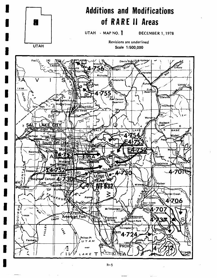
D Additions and Modif ications
8 of RARE II Areas
UTAH
UTAH - MAP NO. 1 DECEMBER 1,1978
Revisions are underlined Scale 1: 500,000
R-5
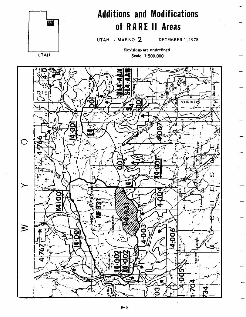
UTAH
Additions and Modifications of RARE II Areas
UTAH - MAP NO. 2 DECEMBER 1,1978
Revisions are underlined Scale 1: 500,000
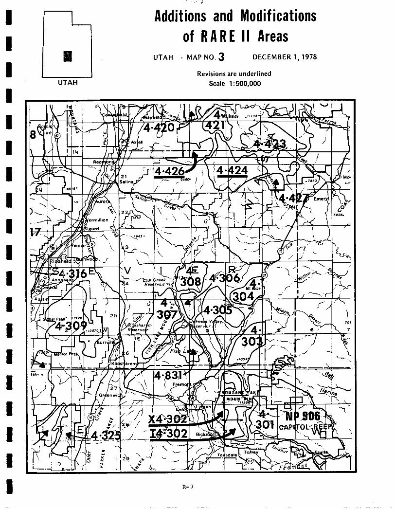
I I I I I 1 I I I I I 1 I I I I I I I
I ., 0
Additions and Modifications of RARE II Areas
UTAH - MAP NO. 3 DECEMBER 1,1978
Revisions are underlined UTAH Scale 1:500,000
R-7
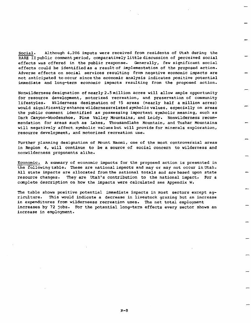
Social. Although 4,206 imputs were received from residents of Utah during the RARE IIpublic commentperiod, comparativelylittlediscussion of perceived social effects was offered in the public response. Generally, few significant social effects could be identifiedas a resultof implementation of the proposed action. Adverse effects on social services resulting from negative economic impacts are not anticipated tooccur sincethe economic analysis indicates positive potential immediate and long-term economic impacts resulting from the proposed action.
Nonwildernessdesignation ofnearly2.5million acres will allow ample opportunity for resource development, motorized recreation, and preservation of community lifestyles. Wilderness designation of 15 areas (nearly half a million acres) would significantlyenhancewildernessrelatedsymbolicvalues, especially on areas the public comment identified as possessing important symbolic meaning, such as Dark Canyon-Woodenshoe, Pine Valley muntains, and Leidy. Nonwilderness recom- mendation for areas such as Lakes, Thousandlake Mountain, and !rushar Mountains will negatively affect. symbolic valuesbut will provide for minerals exploration, resource development, and motorized recreation use.
Further planning designation of Munt Naomi, one of the most controversial areas in Region 4, will continue to be a source of social concern to wilderness and nonwilderness proponents alike.
Economic. A summary of economic impacts for the proposed action is presented in the followingtable. These are national impacts and may or may not occur inUtah. All state impacts are allocated fromthe national totals and arebased upon state resource changes. They are Utah's contribution to the national impact. For a complete description on how the impacts were calculated see Appendix W.
The table shows positive potential immediate impacts in most sectors except ag- riculture. This would indicate a decrease in livestock grazing but an increase in expenditures from wilderneess recreation uses. The net total employment increases by 72 jobs. For the potential long-term effects every sector shows an increase in employment.
-
-
-
-
-
R-8
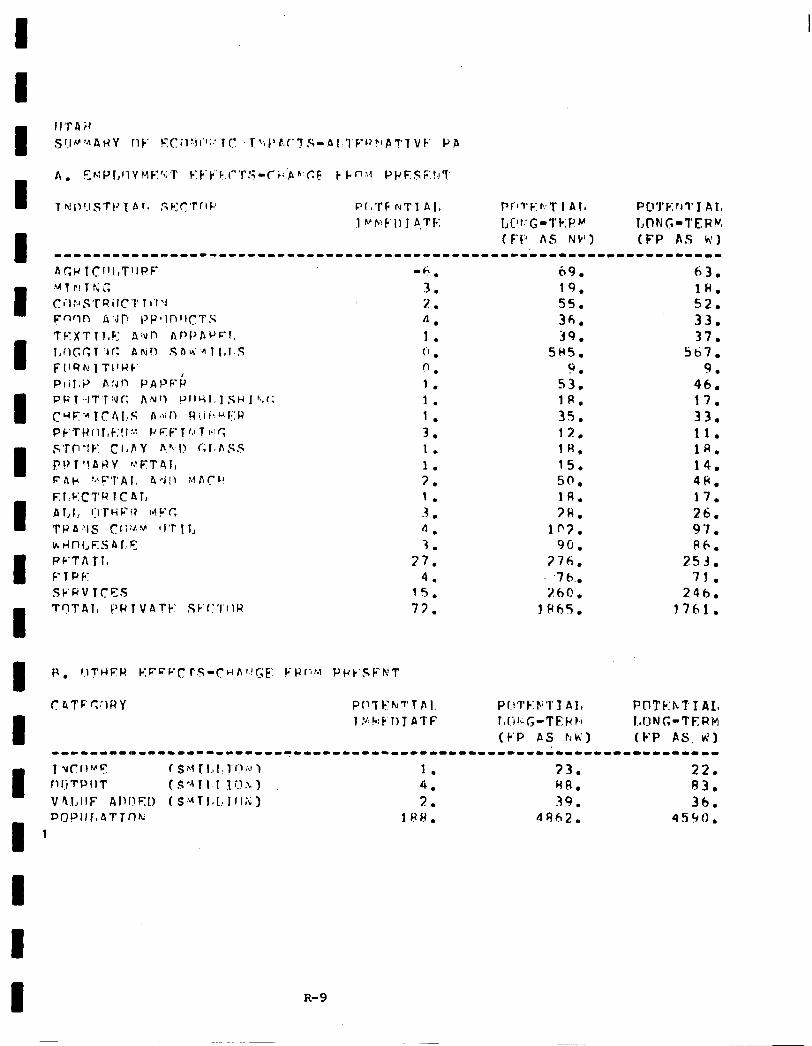
I A. EMP~,llY YE’CT F:~‘~‘F.l”r!i~~i~p”‘C~ k l.n:,c PpFEsi;:!,Jl’
T ti11l.lSTtJl b1.v SF:r:Tr.lL’ PIaTF NT1 AI, pf’ll’F‘r:T 1 Al, PD’j+ErJl’I AI, 1 ~b:F'l) 1 A,TF: L['r.!G-Tk:PFA l,C)NG-I'ERV
(E-1:' A6 NC') (FP AS WI 1-----11---"1-11---1------------------------------------------~------
-6,
3. 2. 4. 1. iI . f-l .
1.
I.
1.
3. 1. 1. 3. 1. 3 . 4. 3.
17. 4.
15.
77.
69. 63. 19. 1W. 55. 52. 36. 33. 39. 37.
SH5. sti7. 9. 9.
53. 46. JR. 17. 35. 33. 17. 11. 1u. 1A. 15. 14. so. 4Ii. 1A. 17. 7H. 26.
lC?. 9 ‘I . 90. 06.
376. 253. ,7tr.. 71.
260. 24h. 1 F(hS. 1761.
R-9
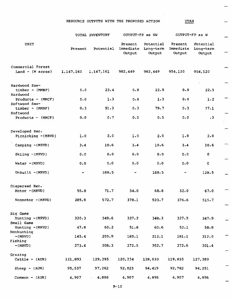
RESOURCE OUTPUTS WITH THE PROPOSED ACTION UTAH
UNIT
Commercial Forest Land - (M acres) 1,147,160 1,147,161 982,449 982,449 954,120 954,120
Hardwood Saw- timber - (MMBF)
Hardwood Products - (MMCF)
Softwood Saw- timber - (MMBF)
Softwood Products - (MMCF)
0.0 23.4 0.0 22.9 0.0 22.5
0.0 1.3 0.0 1.3 0.0 1.2
0.3 91.3 0.3 79.7 0.3 77.1
0.0 0.7 0.0 0.5 0.0 .3
Developed Rec. Picnicking -(MRVD) 1.0 2.0 1.0 2.0 1.0 2.0
Camping -(MRVD) 3.4 10.6 3.4 10.6 3.4 10.6
Skiing -(MRVD) 0.0 0.0 0.0 0.0 0.0 0
Water -(MRVD) 0.0 0.0 0.0 0.0 0.0 0
Unbuilt -(MRVD) 188.5 188.5 128.5
Dispersed Rec. Motor -(MRVD) 55.0 71.7 54.0 68.6 52.0 67.0
Nonmotor -(MRVD) 285.9 572.7 378.1 523.7 376.6 515.7
Big Game Hunting -(MRVD)
Small Game Hunting -(MRVD)
Nonhunting -(MRVD)
Fishing -(MRVD)
320.3 349.6 327.2 348.3 327.5 347.9
47.8 60.2 51.8 60.6 52.1 58.8
145.4 200.9
3oi.3
180.1
273.4 272.5
212.1
302.7
181.1 212.0
272.6 301.4
Grazing Cattle - (AUM)
Sheep - (AUM)
Common - (AUM)
121,893 129,395
95,537 97,262
4,907 4,896
120,334 128,033 119,835 127,389
92,823 94,419 92,782 94,251
4,907 4,896 4,907 4,896
TOTAL INVENTORY OUTPUT-FP as NW OUTPUT-FP as W -
Present Potential Present Potential Present Potential Immediate Long-term Immediate Long-term
Output Output Output Output -
-
-
-
-
-
-
-
-
R-10
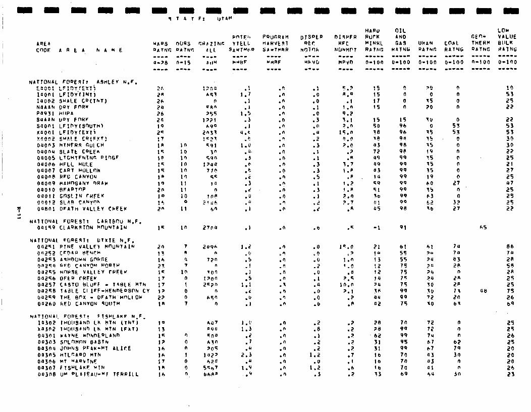
ARE4 cnoF: 4REA hAME
NAflONAL [email protected] ASnLEY N.F. EaOOl LFIDTrEYTi IuOnl LFIDV'(lLJTj Iaobz surlE cQ(TkT) NUAAN OQY FnRK PO93 I hllPA QUAAN uPY FIWU soon1 LFIn~(snuTnl xuoIl1 LFIDYfEYTi X0002 SuAlE CR(FXT) ouon3 WTNERS GUI cw ouonu SLATt CQEEfi 00005 LTGHTFNtNC. PIQGF
OUOO6 HFLL MICE UP007 CART "Ol.Lflk OUOn8 RFC C4NVUN 04OI)P IdAHnGANV nRAlr, 00010 RFADTnP 00011 Gn3ClN rRFEK OaOlZ SLAF) CANYr?h
P OU8nl DFATti V4LLCV CRFEK
2 NAT TO'JAL FWEST t LAklbC!u N.F.
04159 Cl AQK.9TON ~IUYTAIN
NA710NAl CGQEqTt OTXTE N,F, OaZsl PTNF VAlLFv HWNTAlN ou252 CFDIW t!E'dJCb 042c3 69HDLl~N Gnhr.E OU2SU RFG CANVOM h'OQT+' 0~255 nn)igE VALI.EV CPEEw 00256 OFtO rREEK 04257 CA3TlJ bluFF - 141SLt WThl 1T 00256 14BlE Cl IFF-HENnEoWN CY 12 uuze;P TrE enx - Df~tH.~flLl Or 2? OUZOO hF0 CANVON qUl!fH IA
NAlIONAI~ FOQESlr F ~SHLAKF N,F, I0302 rw1tarlrD Lh ~TN (~kri 10 XaJSZ luGllSEN"I Lh HfN (FXf) 13 043nl WAYNE mhnEaLAlun IF 00303 ,VL~flt-IN BASIN 12 00304 JfWhiS PFAK-MT ALIcE 16 Otl3nS HTLCAOD MTh lh fJU3Fb MT "ADVTNE 1' OU307 FlS"L4KF M'TN In 00308 IJ" QL41EAU-YI TFRPILL lb
in 10 lc, 10 10 lfl 11 11 10
Q 11
in
SAWTMCv m--I MMbF -a--
.1 1 ..I
.I
.I 1.5
.3 .I
4.t .t
1.0 .4. .3 t6 .c- .C .3 .d .o
:;
.I
1.2 . 0 .5
:f .5
1.1 .i .o .l
1 , L’ 1.3
.2
.7
2:: .u
1.9 l Y
.n
.n
.fi
.'I
.n
.(I
.n
.n
.n
.n
.n .n .fi .o .n .n .n .n .n .n
.n
.n
.n
.I)
.n
.n
.n
.s
.n
.'I
.n
.n
.n
.n
.n
.n
.n
.n
.n
.n
.I
.o
.o
.l
:i . (’ .a .2 .3 .l
:: .3 .5 .l .3 .l .L .Z
.b
.O
.a
.o
.2
:Y .u .O .O .(I
.2
.0 .l .2 .2
1.2
1:: .J
5.2 n.0
.1 1 .n 9.2 5.1 ?.n
15.n 4.n ?.O
.p
.n 3.’ I .p
.p f .2 t .n 2.n 2.7
.A
1C.O .?
1.n q.0
.n 2.S
in.0 2.1
.? .p
.? 78
.2 2a ? . b2 ? .- 31 ? . . 31
.7 lb
.f lb
.6 lb ? . 33
15 15 17 15
YO 0
75 20
15 15 11, 50 96 0 30 96 s5 10 9u is a3 9R ss 72 98 19 u9 99 ?S a9 99 -5 03 99 35 14 99 19 59 99 60 51 99 15 56 99 63 u1 99 62 us 98 tb
-1
21 10 13 12 12 14 24 sn au
a2
91
61 55 55 75 75 75 75 99 99 75
70 9q 99 95 9Q 70 70 70 69
61 ?U >4
2u 24 2s SO 30 '2 i0
72 72 7u bl 67 03 43 ai 4u
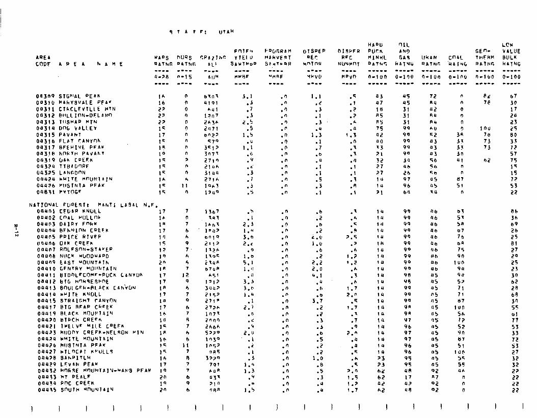
q t A I
AREA WARS nlJQs
CODF APEA IreHE RAlkr. QAThlt
Ou3n9 SlGblAL PEAR lh oa310 HL~YSVALE PFAK lb 00311 c1kc~EvTLL E MTN 22 Ou312 PllLLIt-W-OFLAM 27 04313 TIISUAP UTN 22 Oa3lU Dnb VALLEv 1s 00315 PAVAN 17 Oft316 FLbl rANYnh 1c OU317 BFE~Ivt PFAK 19 003JcC h'llF;Tti PAVAhT 10 04319 CJA~ CDEFR 15 ou32u TTHcD'IRF 1s 04325 LlhrGOflN 1= OUU2U *MITE Mf'UNlAIN lh 011426 P~lSlNlA PFPY lC Oa031 CVTr\GC 15
NATIONAL FUQE.qlt f"Ahfl LAS61 N.F. oauni CFDbR WWLL oauoz cnn~ rULLnc
T Ouua3 DIIRV Fnkw 0UUr)U BFhN,lllN CPtFK
t.3 oaues PPICE RTVFP ll’lU11t, OAR CDtFh OltUn7 RtlLFSnN-STAVEP
oau06 wcu W~O~WAPD 00Un9 EAST UOI_INlAllr, OOUC 0 GFNTHY ~UlllrrT~I~ Ouull BTD~LFCOM~-PUCR LANvLIR OaUl2 blG HqkqESl-nE OUU13 90~1 GF~-PI.PCR CAh‘vLIN OaUlU hrllt KILL OOUlS S?f?AIFFcT tANYflh OUU17 PIG RFAP CkcE'f 004419 BLACK MOUC'l4IQ oauzo Blwh CREEK OUUZl IrElVF "II E CPEFR 04423 WlJDnY CREFR-NELSON PIN OUUPU CHITE 'WU"rlAIN 00426 hltSTNTA PFPK 0uU27 hrLntb1 Rh'ULLS OUU?O SAkPITLH 011429 LFvLN PEAM
17 16 1Q 17 1 '1 I< l? 1Q 2" IP 17 17 la 17 1fJ 17 lr. 10 lC I# 16 1’; I< 14 17
04032 H~~SE M~UMTAIW-*APS PFAK 10 OOOl3 hT PEALF 20
OOU?U PW. CPEck 10 OUU15 SnlJTH MnuNlAI'J 20
I I I I I I
n n 0 0 0 ? n n n n 3 n n 4
II n
7
0 7 b ir 9 7 +I
4 7
I? 9
4 7 9
6 7
9 7 4 6
11 7
R 7 7
b 9
b
1
F: UTAM
PrlTF- r.RAlJh” rlElU
SAbITMo"
3.1 .A .7 .3
2 .5 .s
1.5 .u
1.1 .b .V . c’ .3 .7
.j .s
.5
.I 2.3 1.u 3.0 2.1
.o I.0 5.1 I . I!
. il
3.3 3.0 1.a
.l 2.1
. 3 .d .‘r
2.u .I
:; .J
1.Q 1.3
.v
1:;
.n
.n
.‘)
.n
.‘)
.fi
.n
.I)
.b
.n
.n
.n
.n
.n
.n
.n
1.1 .L .3 .I .3
1:; .l .7 .b
:tf .I .S .3 .l
.n
.n
.d
.n
.n
.n
.n
.n
.n
.n
.n
.n
.n
.n
.n
.n
.fl .n .n .n .n .n .n .n .n .n .n .n .n
.b
.2
.b
.2 L.u 1.6
.b
.2 2.2 2.0 b.1
.u
.6
3:;
.2
.2
.3
.5
.b
.5
.2
.2 1.0
.b
.5
.3
.U
.a
I
.?
.l
.Z
.2
.h
.a 1.3
.n
.I 1 .-
. 'I
.I
.l
.1
.R
.l
03 U7
ItI AS AS 75 02 QO 73 21 32 a7 i?7 14 1U
>I
.' 14
.k !4
.c 14
.Q 1u 2.5 111
.' tk
.h 1u 1.2 1u 1 .I? 111
.A 1U
.f 14
.h 11, 1.7 1U 2.n 19
.q la 1.7 14
.t 1u
.7 !U
.Q 14 2." 14
.a 10
.Q 1u
.5 10
.h >3
.q ?3 2.0 62 1.5 62 l.? 02
q.7 h2
I I I
05 45 31 31 31 99 99 99 99 90
54 Uh 2b 97 96 bU
99 99 99 00 99 99 90 99 99 90
96 99 99 99 90 On 9n VI
96 97 97 96 96 95 95 UR
17 42 49
I
IlkAN cn4L RA~NC. UA IuG
72 au
u2 41
A4 A6 c2 u3 U3 U3 56 56 ql¶
Q5 U5 7u
n n 0 n 0
39 53 33 3n 41
n n
u7 51
n
Q b b3
'46 57 Ub 5R Ub Cl
Ub 76 ub ba d b 75 Ub 90 Ub 1un Ub 9u
US 90
Q5 52 a5 71 1’ s 71 0 5 87
us IV0 U5 5h ‘1 s I2 Q5 52 Q5 vn U5 b7
QS 51 Q5 1 r)b 05 se 05 SC 92 UC
a7 n 02 n Q2 0
I
Ad 7e
inu 78 73 73
42
b7
JO 17 24 23 25 80 33 I? 57 75 15 15 72 53 22
86 36 b9 26 25 81
27 29 25 23 30 62 20 68 30 55 bl 77 53 33 72 SS 27 33 32 22 22 22 22
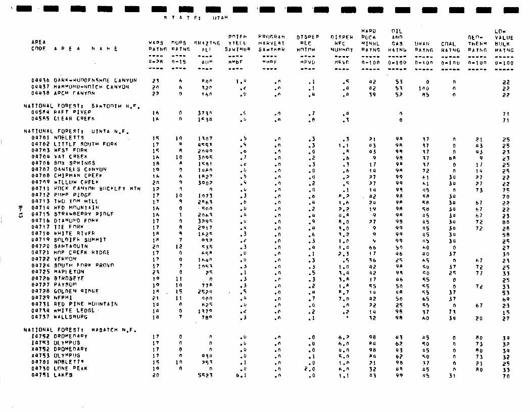
ARE6 WIIRS
CODE APEA k b h E PATtdfZ
0UU;L DAI4M-~UnDFhShllE CANYON 23 6 OUU37 HAMMOND-NnlCU CANVON 2n h OUU38 AQCH TANYCIN 27 !,
NATIONAL FOREST: SbrTOnlU N,F, OUSPU RAFT OIVErJ
00595 CI.EAR CQEFK
I NATIONAL FOPESl8 UINTA N-F,
I 04701 NurlFLElf9 0U7@2 LfftLF .SOIJTH FOR& 00703 UFST FIIRn OU7OU VAT CaEFn 00706 enx SPWINCS 04707 DANltl S CANVUN 00708 CHlPMAN CPEFr oa709 klLLllU CwECr 00711 IJOCK rAWnN BIICI’LFY nlrq oat12 PflPP PlOGF oU713 Two TnH WILL
P Ou7lu NFD H'-liJNTAIN
2 00715 STPA*PEPRy PInlF OU7lb DTA~U”‘D FWY 00717 TIE FnRK 00718 WHITE RIVFR 00719 SnLoIFk SUMMIT OU7?0 SANTAOUlN 00721 hOP CDEFK k1Dr.C
00722 VEWNW 0~724 snuTH cnpk Pimkn 00725 MAPI ETUN
04726 B!HDSFYE OU7?7 PAVJUI’ OU728 GDLnE'J RInGE 00729 FtFPHI
00731 RED PINE MUIINTA~~ OU71U nHITE LEOC;t 04737 kALLSRUPG
NATIONAL FOQESTt WASATCH N.F. I07St DPOrEf'AQy xa7s3 DLYMPU~ x0752 DPOME~?ARY x4753 o~yMp?~s 04701 NDBLETTQ 04730 LONE "EAK OU7Sl LAKFS
lb lh
15 17 15 16 1R 1Q lh 2n 12 17 17 lh 14 17 17 1n 1p 20 17 1’ 17 21 10 10 1R 21 14 14 14
17 17 17 17 1s 14 20
T A T F: lITAH
PnTFlc nuns r.lthZTkG Y1EI.k QbTNr. bL’
n n
10 0
9 10
II cl h ? (1
10 4 0 1 r) 9 9 7
12 n 0 7 0
II in 15 11
n
0 7
0 n
0 n
in n
.”
.n
.n :: .JJ
.s
.JJ
.JJ
.n
.n .7 .@
.fi
.n
.fl
.n
.n
.n
.n
.I)
.n
.n
.n
.n
.n
.n
.n
.n
.n
.n
.n
.n
.n
.n
.p
.n
.n
.n
.n
.F
.n
.3 l . 3 .O .2 .3 .O . 0 .Z .n .b .JJ .2 .JJ .9 .a .t .3
:4 .3 .A .5 .3 .2 .U .7 .(I
::
.3 1 .I
.A
.6
.?
.6
.2
.T
.I P.7 1 .h ?.2 JJ.n 8.0 1.0 7.T 1.0 ( .a 2.3
.5 I .n 7.0 3.A I .A P.7 7.0
.n
.2 .
.n
.n
.n
.n
.n
.n
.n
.O
.U
.o
.I
2:: .O
6.2 6.0 u.0 5.n I .n h.n 1 .l
53 57 52
0 in6
45
n 0
9R 57 9R 17 99 17 v9 17 PA 17 VII 72 99 61 99 61 99 ‘I 5 98 GA 9p 58 9R 58 9a a5 98 4s 99 a5 99 us 99 ‘15 50 60 ub 40 25 65 VP 50 V9 GO Ub ‘;5 50 55 UA 55 50 65 2s 55 99 37 98 h0
JJ3 0s C? 50 43 45 b? 50 98 17 119 45 99 ‘J 5
bl b7 67 72 72
h,7 72 71
a2 22 22
71 71
25 25 23 i?3 25 25 22 22 75 70 22 22 23 80 29 58 25 27 30 23 25 33 25 33 53 bp 23
15 27
34 32 34 32 25 33 70
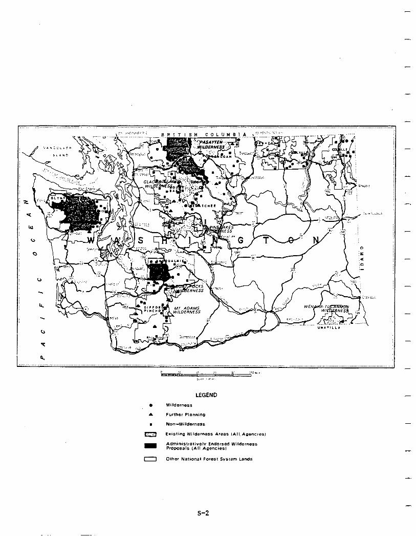
LEGEND
l Wilderness
A Further Planning
. Non-Wilderness
m Existing Wilderness Areas (All. Agencles)
m Administratively Endorsed Wilderness Progosals (All Agencies)
0 Other National Forest Svstem Lands
-
-
-
-
s-2
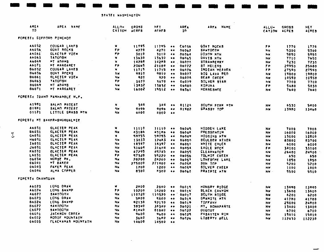
AREA ID
APE A NAME
FORE$TI GIFFORO PINCHOT
A6032 COUGAR LAKFS w 11795 11795 Ah036 GOAT ROCHS FP 4270 0270 A6061 GLACTfiR VICW FP 3010 3010 A6063 TAlOnSI w 13630 13630 A6OC9 MT AobMS w 142SS 102RB A6071 MT MARGARET FP E3bb5 2lOOU 06052 COUGAR LAUES w 11715 11715 Sb036 GOAT RfKKS NW 9010 QEllO 86061 GLACTER VIEw Nu 020 920 BhOb3 r~ronsw FP 3070 3ll70 BbOh9 MT AnbuS NW ilA32 e&O71 MT MARGARET
1se32 NW 16002 15512
F0REbT.f IDdWn PANHANDLE N.F.
Al981 sALHt7 PRTEST Sl9Pl SALHCJ PRIEST 01121 LITTLE GRASS HTN
FfJPE3T: MT SAKFR-SNlLWJAL~lF
A603
Y 860)
w GbO1 HbO1 1603 JbO3 Kb03 LbOS 0603 0604 0600 ObOQ
GLACIER PEAK w ll!lO 11110 c* 06045 GLACTER PEAK NW 03186 USlAb *I ObOOA GLACTER PEAK w 59’755 59755 ri GLACIER ‘PEAK ! 3033 12uA3
OWlI? NW *I, 06osn
GLACIER PEbK Nk 18397 18397 l * 06051 GLACTEP PEAK NW wb0a 316nu l * 06054 GLAClER PEAK NW 07295 u5705 ,I ObO55 GLACTER PEAK FP 57320 55220 l *
NORSE PK. 06054,
NW ZBZOO 2R200 l * 06057 MT SAKFR NW 27sooo 271900 l * 0605R JAWED PEAK NW lZO0 1200 l * ObO59
ALMA CnPPER NW 8300 a300 l c 06660
A6023 lONG DRAY w AbOPU LONG SWAMP FP A6027 9AWTtWTH NW BbOZ3 LONG DRAW NW 8602U LONG SWAMP NW 86027 .9AWl@OTH NW CbO?t SAWfOOtH ObOfil JACKSON CRFEi
NW NW
ObOO2 RODIE f'fOUN(rAIN N* ObOO3 rLACKAMb9 MOUNTAYN NW
ALLn- CR099 NF1 ARFA CATTON ACRFS bf RF9 10
l * Cb036 GOAT ROCK3 l * ObOb2 SAwTOOTH .* 06060 DIXON l47N *a 06065 DAVIS MTN l * 06073 STRAC~RERRY l * 06072 ST HELENS l I 06676 INDIAN'HEbVEN l I ObO77 BIG L!VA @El? et 06079 SEbR CREEK t* 06079 SILVER STIR l a OLOBO KIPUKA *I 06361 HOR3EsmE
w NW NW
3uu 344 9096 9096 unoo BOO0
l * 01120 4* 01962 *I
an00 10200
110720 snoo
92130 383UO n1nuo
9600 3660
14600
2800 *I 06015 la200 l c ObOlh
11a520 l * 06017 5800 l * 06015
92110 l * 0601? JP3dO l * 06021 81000 14 06022
9600 l * 06025
3680 c* 06dZb la500 l *
bRFA NAME
SOUTH FORK HTN GPAS~V 7oP
HIDDEN LAKE NW 7000 7000 PRESSFNTIN NW 16000 16000 ~+IGGINs ~fr4 NW 13000 12800 BOULDER RIVER NW BSBOO 83700 WHITE CHUCK NW 6000 6000 EAGLE ROCK FP 3aioo 33100 tLEbRWATER NW 2bUOO 24900 TOLMIF CREEK NW 650 650 LONFS~IME LAKE NW 1050 1850 SUN TOP NY 5200 5200 SILVER CREEK NY 1000 1000 PRAIRIE nTN NW 5500 5500
HUNGRY RIDGE hW 13990 BLACK CANYON NW 13600 SOUTH RIDGE NW 6200 GRANITE MTN NW Ul780 TIFFANy NW 25000 HT. BONAPARTE NW 13QOO DUGnUT NW PASAYTEN RIM
6700, NW 15010
LIBERTY SELL NW 112u30
ALLU- CR083 NET CATION ACRES ACRES
FP NW hW NW
FF FP NY NU NW FP NW
1770 1770 5300 5500 5850 5850 T710 7650 7230 7230
29950 25680 27590 27590 19800 19800 10550 10550
7700 7700 sue0 5030 7640 7600
NW 6530 5noo NW 13980 13060
13990 13600
6200 41780 .?uooo 13QOO
6700 lS~l0
112230
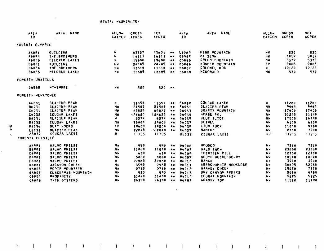
RTATFI WASHINGTON
AREA AREA NAMF ID
FOREST, OLYMPIC
A6081 RUILCENE W AbOAU THE FIROTHERS W A6005 MILDRED LAKES W
BbORl DUILCENE NW 8bOAU THE RPOTRERS NH BbOuS FILDRkD LbKtS NW
FORESTI UHbTILLA
06565 KT-TRRFE NW
FORESTt WENbTCREE
bbO31 GLACItR PEAK 86031 GLACIER PEAK Cb031 GLA,CTER PEAK Cb032 COUGAR LAKES 06.031 GLACIER PEAK 06032 CUUGAR LAKES
m c
06036 GOAT RnCKS EbO31 GLACIER PEAK
‘. A6032 COUGAR LAKES FOREST, COLVILLE
W NW NW NW W NW FP NW w
Ab9Rl SALMO FRIES7 BIOS1 UALMn PRIEdl Cb9Rl SALW(l PRIEST DA981 SALMO PRIEST Eb9Rl SALW PRIEST 06001 JACKWN CRFEK 06002 ROnIF MDUNTATN
NH NW NW NW W NW NW NW NW NW
0600.3 CLACKAMAQ ROUNTAIN 06004 PROFANITY 04ons TWIN STSTERS
ALLr)- CATION
GROSS ACRES
KFT AREA ACRES ID
43737 436?1 16113 16113 15686 15646 2uuu5 24445 i 1516 1151b 10385 lll3RS
320 320
113% 11356 21505 21505 69028 69828
126620 12h628 6274 6274
58000 3nooo 19600 1o2no E2n48 ‘22848 11795 11795
950 1 IA60
630 5060
?7080 3550 2710
525 31a40 ?bSSO
950 44 06006 11840 44 ObOOT
630 44 ObOOa 5860 44 06009
27oclo 4* ObOlO ;?9n5 44 ObRll 2710 $4 06017
5?5 $4 06013 31 uao l * ObOl4 26350 l * Obq82
44 L608? PINE MOUNTAIN 44 ObO8? MT ZInN l * 06083 GREFN HtluNTA IN 44 06086 KONDEP MOUNTAIN l * 06087 CoLnNFL SOS $4 ObOBA MCDONALD
$4
k4 44 44 44 $4 44 44 44
EbO3? COUGAR LAKES FbO31 GLACIER PEAK 06033 WART? MOUNTAIN 06039 NnRSE PK. 0603s BLUE SLIDE 0603T GETHEL 06n3n LION ROCK ObO39 NbNEUCI 86032 COUGAR LAKES
AREA NAME
HmlDOrl GALD SNOW THIRTEEN RILE SnlJTH HUCKLEBERRT ISANG ASERtRWeIE HOOKNOSE IiARvEv CREEK DRY CANYON RRLAKS CoUGAP MOUNTAIN li@ASSy TOP
ALLU- GROSS NET CATION ACRES ACRES
NW NW
F":: W NY
230 230 5419 Sal9
5379 9068 5379 9068 lZlZ0 12120
530 530
w 11200 11200 NW 9UbU 9464 NU 1tuoo 17400 NW 51240 51140 NY 17000 16140 NW 6100 6100 NU 11000 9960 NW 8700 7200 NW 11715 11715
NW 7210 7210 NW 23850 23850 NW 12700 12700 NW 10540 10540 NW 3940 3940 NW 366.25 32060 NY 15070 7870 NW 5080 4980 NW 5225 5225 NW llSl0 11190
I I
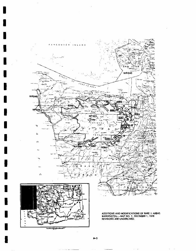
‘,... ,. . ..-
--\ --\
ll
ADDITIONS AND MODIFICATIONS OF RARE II AREAS WASHINGTON--MAP NO. 1, DECEMBER 1, 1978 REVISION; ARE UNOERlINEO.
a-5
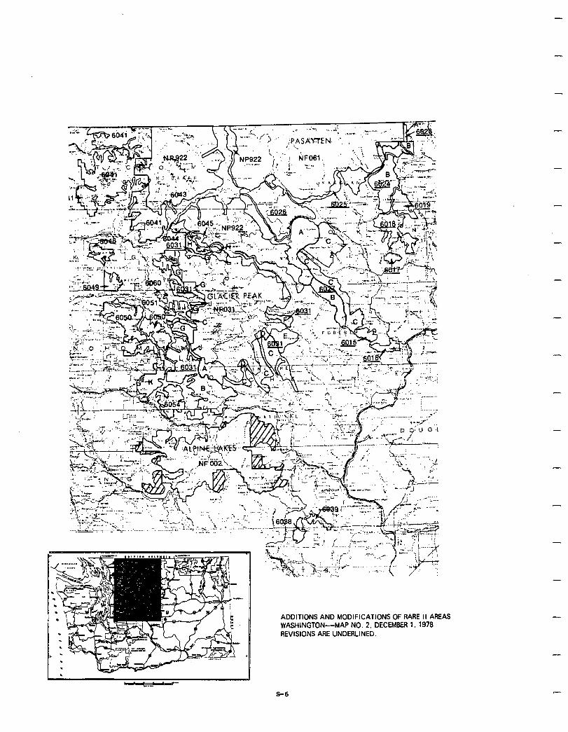
, u -- -.-
-
-
-
ADDITIONS AND MODIFICATIONS OF RARE II AREAS WASHINGTON--MAP NO. 2, DECEMBER 1, 1978 REVISIONS ARE UNDERLINED.
-
S-6
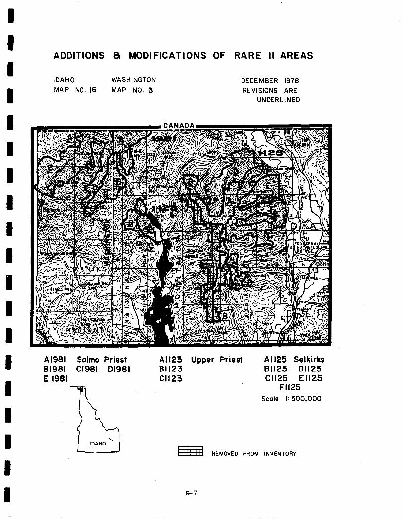
ADDITIONS 8 MODIFICATIONS OF RARE II AREAS
IDAHO WASHINGTON DECEMBER 1978 MAP NO. 16 MAP NO. 3 REVISIONS ARE
UNDERLINED
Al980 Salmo Priest 81981 Cl981 01981 E 1981
All23 Upper Priest Al 125 Selkirks 81123 81125 01125 Cl123 Cl125 E II25
Fll25 Scale I: 500,000
REMOVED FROM INVENTORY
I I s-7
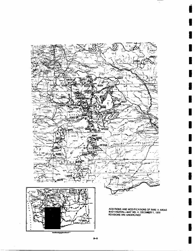
-.-
B-9
ADDITIONS AND MODIFICATIONS OF RARE II AREAS WAScllNGTON-MAP NO. 4. DECEMBER 1, 19X REVISIONS ARE UNDERLINED
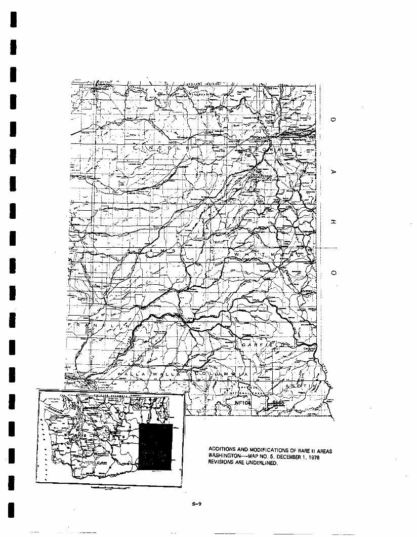
I I I I I
I I I I I I I I
I I I
.:’ .i j
>
j
I
- . . . .
0
. ! .,.._.-; ...._.,. d-.--1.i _____ -i------‘..-,:;t:z’--~.i...~,...:. .. i* I. : *’ ., i;
ADDITIONS AND MODIFICATIONS OF RARE II AREAS WASHINGTON-MAP NO. 5. DECEMBER 1, 1978 REVISIONS ARE UNDERLINED.
- Social. The proposed action will very likely result in few adverse social impacts. Distribution of areas and minimization of resource production conflicts in wilderness allocations will not severely impact local resource dependent communities andwillalso provide additionalwilderness opportunties. In addition, housing, transportation, community services, and identity will not be adversely affected on a state-wide basis. Because this alternative does not represent any major changes in patterns of land use, there are likely to be few if any major changes in community lifestyles. Some changes in recreation patterns could result. Areas which have been used for roadless undeveloped recreation may become developed causing those people who engage in this type of recreation use to seek out and use other areas.
Every National Forest in the state will have a recommends at least one area for wilderness,butsocial concern about adverse economic impacts should be mitigated by the proposedaction. Economic analysis indicates positive potential immediate and long-term effects in every industrial sector. All areas recommended for wilderness were wilderness study areas as a result of BABE I and therefore not included inthe current timberharvest base. Consequently, this alternative will probably have few, if any effects on local economies, social services, or other related social characteristics. Other areas, previously wilderness study areas, allocated to nonwilderness should provide an increase in resource production and nonwilderness recreation opportunities.
Many areas recommended for wilderness are additions to existing wilderness areas and willimprovemanageability of wilderness. Fromthe social or public standpoint this corresponds to expressed concerns for compatibility of uses.
Division of several controversial areas (Glacier Peak, Qugar Lakes, Goat Peeks, Quilcene, The Brothers, and Mildred Lakes) may resolve expressed public concern over protection of symbolic and scenic values vs. negative economic effects and restriction of resources9
Economic. A summary of economic impacts for the proposed action is presented in the following table. These are national impacts and may or may not occur in Washington. All state impacts are allocated from the national totals and are based upon state resource changes. They are Washington's contribution to the national impact. For a complete description on how the impacts were calculated see Appendix W.
-
-
-
-
-
The table shows positive potential immediate impact in every sector. This would indicate the deferred timber and increased wilderness recreation use more than off-set the decreases in nonwilderness outputs. The potential long-term impact is also positive in every sector.
s-10
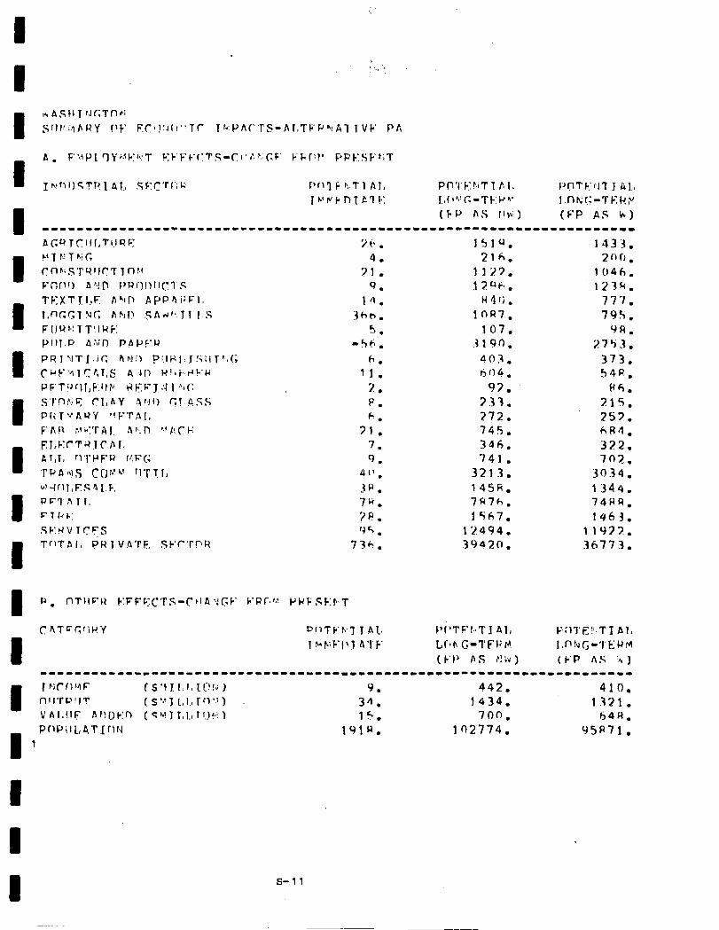
7i*. 4.
71. 9.
14. Iht?.
‘ .J . -56.
6. 11.
2. P. 6.
71. 7. 9.
411. zp. 7G. 3P. '4 5 .
736.
lS,lQ. 216.
1127. 1 2 ‘1 ti? .
H4fj. lOQ7.
107. 3180.
403. cjO4.
93. 333. 272. 74s. 346. 741.
3213. 145h. 7R7h. lSh7.
12494. 3 9 4 2 0 .
P(‘TFt.rTI Al, Ll‘lr\ C.-I’FF P! ( k‘l’ A s P! h )
1433. 2rrr, l
1046. 123k.
777. 795.
9A. 2753.
373. 54P.
pii. 3.15. 253. hR4, 322. 7n2.
30.34. 1344. 74HR.
1463. llc)??. 36773.
----II-------“---------~--------------------------------------------- I nll’rC’!IT T NCfIUF 1S’4]1:1011!!G) ( s ‘> 1 1, I., r ‘1 *.: ) 34. Y. 1434. 442. 1.321. 410.
VAl.flr; brtgk:n (C~~‘JT,l.,l~.)~i~ 15. 700, b4H.
I
PrlPilL,4TIfl!d 191u. 102774. 95R71. 1
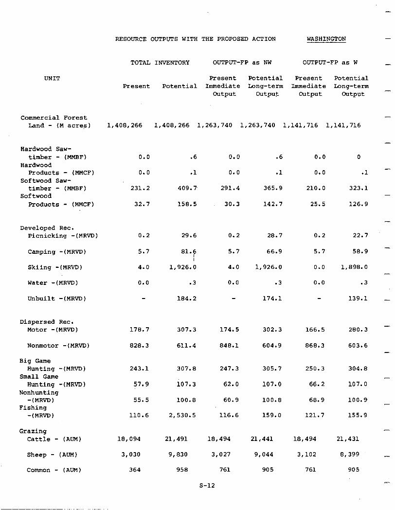
UNIT
Commercial Forest Land - (M acres)
Hardwood Saw- timber - (MMBF)
Hardwood Products - (MMCF)
Softwood Saw- timber - (MMBF)
Softwood Products - (MMCF)
Developed Rec. Picnicking -(MRVD)
Camping -(MRVD) 5.7
Skiing -(MRVD) 4.0
Water -(MRVD) 0.0 .3 0.0 .3 0.0 .3
Unbuilt -(MRVD) 184.2 174.1 139.1
Dispersed Rec. Motor -(MRVD)
Nonmotor -(MRVD) 828.3 611.4 848.1 604.9 868.3 603.6
Big Game Hunting -(MRVD)
Small Game Hunting -(MRVD)
Nonhunting 1 -(MRVD
Fishing -(MRVD 1
Grazing Cattle - (ALPI) 18,094 21,491 18,494
Sheep - (AUM) 3,030 9,830 3,027
Common - (AUM) 364 958 761
RESOURCE OUTPUTS WITH THE PROPOSED ACTION WASHINGTON
TOTAL INVENTORY OUTPUT-FP as NW OUTPUT-FP as W
Present Potential Present Potential Present Potential Immediate Long-term Immediate Long-term
Output Output Output Output
1,408,266 1,408,266 1,263,740 1,263,740 1,141,716 1,141,716
0.0 .6 0.0 .6 0.0 0
0.0 .1 0.0 .1 0.0 .l
231.2 409.7, 291.4 365.9 210.0 323.1
32.7 158.5 30.3 142.7 25.5 126.9
0.2 29.6 0.2 28.7 0.2 22.7
81.6 I
1,926.0
5.7 66.9 5.7 58.9
4.0 1,926.0 0.0 1,898.0
178.7 307.3 174.5 302.3 166.5 280.3
243.1
57.9
307.8
io7.3
247.3 305.7 250.3 304.8
62.0 107.0 66.2 107.0
55.5 100.8 60.9 100.8 68.9
110.6 2,530.5 116.6 159.0 121.7
100.9
155.9
21,441
9,044
905
18,494
3,102
761
21,431
8,399
905
-
-
-
-
-
-
-
-
-
-
-
s-12
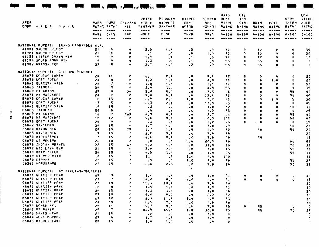
Bl9Pl SAL”0 PaIFSt 21 01121 LIlTlF GRASS “TN I= OllZ4 SnUTH ffJI?k '4TN ;q 01982 GRA.SSV TUP 22
NAttONAl FCIPEST! GlFFOPIJ PfhCHnl A6032 CWJGAQ LAlctq 20 A6056 G'lAT PUCK!: 24 A6061 GCACIFP VTtH 20 A6063 lrlm)~~ 20 A6069 hl ADdMS 25 A6071 MT HAQtiACiFl 24 Bb032 C’WGAD 1AKtS IC 86016 GIlAT "c)tKq 17 B6Olrl GLACIFh VTEU 10
Y I36063 7AlfWstI 20 86069 hT h[lbHq
w’ 14
66071 kl “APGbhFl la CbOl6 GnAT PUCKQ 20 06062 SAkTC!nlH 20 06064 DTrnN HtN 2n 06065 DAVTS Mth 0
06070 STfiAnqE'JRV 1q 06072 ST HECC'JQ 22 06076 I'JDTAV HEAvFh 2? 060'7 bTG L&VA Rtn 21 OhO7P BFA'J ?WFtr 2n 06079 STLVFD $lAl? 1n ObuRO KlPl'k I 2n 06361 ht-'RSEaW'E 2'
NATIONAl FUDEcl t k.T 60031 GI ACIFh PFAM MO-1 Gl AcIFR PFAM G6031 GIAtlFli PFaw H6031 GCACIFII PFPK I6031 GIbrIFh PFAV Jh031 Gl AtlFR PFAC KbOtl GI A?lFd PFAV L6Oll Gl.ATIFF( PrAr OhOlU NnWSt PK. 06OUl MT RA*EQ 06043 LlbrFS PFAW 0604U Al.r’A rt10PFk 06445 HtonEN LAYk
11 u 7 7 u 7
13 5
15 s 7
12 0
15 15 15 1s 14 15 15 15 15 19 15
u 7
10 a
13 1 ‘I 1s I’, 11
7
15 h
If
n n
0 n
i!h n n n n n
742 n n n
7q n n n
h' n !l n n n
n n
n
n n n
'I n n
n n
n n
2.5 .I
1.C 1.3 2.7
2.7 1.2 1.v 2.h 5.* 9.u 2.9 2 ..3
.L
.b 8.9 9.@
.J 1.7 1.1 2.h 2.a
.e 5.2 3 . L! u.5 1.1
.4 2.0
1.e 4.c
15.3 1.5 3.3 a.e
12.3 a.5 9 :I
llU.9
1:; 1 . "
1.3 .n .Q .5
1.2
2.7 1.’ 1.” 3.4 S.? A.7 ‘.a ‘.?
.?
.b 4.’ @.a
.7 1 .(I '.' ?.= 2.3
.O c.n ?.b 7.'
.7
.Q 7.q
1.6 0.a
10.7 1.4 3.' L. 0
11 .h 7.0 0.0
uc.n
.' 1 .'I 1.n
.2
.O
.l .l .2
.9 1."
.S
.n
.9
.lJ
.o
.G
.o
.o
1:: .O .@ .c .O .O .(I .o .O .o
5:: . (' .@ .c
1 .Il 1.0
.O
0.1 0.n 1 .I 0.R 3.3
12.1 7.9
1i.n 1 .n 1.2 7.7
tn.0 l.?
7.0 1.0 ‘.fi '5.0
2n.n 31.0
1.n i .n ?.O 7.0 5.0
.o 2.n
.U
.o
.o
.v 3.0
2:: 1 ..o
.(J
.O
.cJ
1.n 91 4.n 01 7.n Ad 1.c n1 1 .a RU
'.? A2 II ,o A3 0.n *b
=.n a5 30.0 OS
I.0 IJ 1.') 0
.n 0
70 70 Q7 55 55
97 40 17 53 46 93 PO US 12 53
12 45 a9
30 75 06 ?b 20 15 2s
in0 >b
26
n 7u n 70 n 97 0 55 n 55
0 0 0 U 0 0 0 0 n 0 n 0 n 0 n 0 n 0 0 lJ
0 0 n 0 0 0
a0
n 0 ittn 6
n
n i n a5 n 50
101) 5 0 0 0 1 0. 0 0 0 95 0 50 0 0
CU. so
70 60 70 55 55
55 50
n 0 n 0
n 55 55
n 0 0 li
U 70
20 20 50 35 40 40 30 45 32 25 40 an 15
5: 20 1s 86 33 7? 31 31 22 22
uo 55 30 30 3n 30 JO 30
n 25
0 0 0

06048 PRESSFkflb! 06009 HTGGINS HTh 06050 bQJLDFk RTVFK OhOSl hM1 tt Ct’iJCh ObOSU EAGLE RrlCw ObOqS ClEAhWPfEe 06026 1NM/F CuFEw 06057 Lr?NF$ntlF LAKE 06656 SllN TrrP 06059 STLVC” TfiFkK ObO60 PRATRTE M7h
NATIU'JAL FUQEQT! ~JKAWCAN Ab023 LnNl: IJRAw 460?4 Lf’hC QhAfl’J AbO?7 SAnlCJPl~ 86023 Lf'h,r, DRAW BOO;?4 LtWr, QhAkP 06027 bAwlOnlu
r c6077 SAhT(l"TC( f Oh001 JACKQf’N CREFk
ObOcl? F(mJIE MnUL'lAIrl 066n3 Cl AfhAMAS MCIIJ'JTA~I. Oh015 HllhJChY QInlvF ObO*b HI AC\ CAhV(r~’ 06017 snuTH k1ur.t 06OlP GQAnI't MTN 06Of9 TlFFA"Y 06021 HT. F~NAPAklE
06072 D'JCWT OhUP PASAYTE~J RIM 06C'Zb L TbFlctr 9FLI
OhORb OhOR OhOR@
I 1 I
4.6 3.7
Il.5 1.u b.‘I
10.b .3 .@
I.9 .a
1.3
.I
.) 6.3
55 2.7 5.6
.u
.I
.o
.q
.4
3:; 1.b
.6
.3
.3 5.9
li.3 1.0 1.5 ll,‘r 2.3 2.3
.I 1.5 1.k 2.5 2.b
.z
!
-w-m HMQF
u,c 3.p
11.1 1.n 7.u 0.p
.I
.p 1.a
.JJ 1.0
.n
.q 'J . 6
.n 0.5 I.2 6.7
.l
.n
.7
.O I.1
.R u.a '.T
.1
.t
.? a.5
1.a .A .q
3.x 1 .q ?.l
.I c .
.h 1.1 1.2
.l
.O
.O
.6
.u
.o
.O
.u
.6
.O
.O
.6
.u
.O
.3
:: 1.7 1.6
.l
.2
.l
.2
.l
.3
.3
:Y .l .n .6
.5
.U
.U
.@
.u
.6
.u
.O
.o
. 0
.O
.O
n
13
7.0 1.n 0.n 0.n
.I) 1.n 1.n
.(I
.n
.I
.a 3.4
.n
.q c.7 1 .a
.4
.I
.p
.f
.n
.?
.l
.'i i.n
.l
.I;
7.0
21 .c 13.7
7.0 1.7
17,s .q
.fi
.I
:S 2.h
.n
0 a5 A5
6 as 80 a5
IJ 0
uo a0
'0 a7 Rl (IU 09 h7 R3
6 PU PO A7
13 04
71 a1 7s
u Qr) 03
12 1 0
5 12 ICI
5
:: 1s 20 15
6
50
90 40
'?U
n 0
n 0 n 0 n 0 n u
CO
70
7lI
0 0 F I, n u !I 0 n 0 n 0
n
LOW v ALUE BI?LK F4TYG -m--w
O-1OU -m-e-
0 40 b+?
n
20 57
0 0 0 0 0
UO un UO
10 5 0
20 40 46 UO UCI 40 un
un 40 (10 40 UO un
25 20 25 in
5 5 0
bb 80
53 59
0
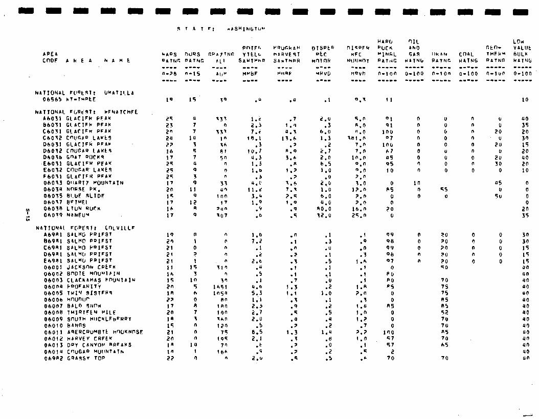
APEA CODF A k E A h A M t
NATIONAL FL’Qt!lt: UMAtIlLA 06565 ht-f”DtE
NATIONAL FbRCRl! HFNATCMFE A6031 ClAClFk FFAM BbOTl GIACIFh PFAK C6031 GlArIFM PFAK c6032 Cnllr.AQ LAwt9 06031 GCACIFh PFAC 06032 Cf-WCA') LAWt9 06036 G"AT 'WCK9 EbOfl GLACIFW PEAK E6032 cf-lUr.AQ LAME9 F6031 GlbrIF14 PCAW 06013 OllARf7 WUNTAIN 06034 NnG9t FM. 06035 BLUE .sLIDF 06017 BeTMEl
r 06038 LlW alIrK
t Oh0?9 NANEU"
NATTONAl FCPE%lr CnLvllLF AbPfll SALMG PQIFST 869A1 SALMCI PQIFST
C69Rl SAL"0 PQIFST 069al SAL% PDIFST E69e1 SAL"U PPIFST 06001 JACKSnN CPEFK 06002 BnDlE ~OWlEIN 06003 CLAtKAMAS PnU’Jl A IN 06000 kf'OFAN1T.Y 06005 TWI’J 919TFf’q 06006 WXJnlJ~ 06007 BALD 9Nnrr 06008 TWIRTFC’J MILE 06009 SWTh HlICMLFbFRRY 06010 bANW 06011 49ERCRW’BTt HW~NI’SF OhOf hbQVEV CRFEU 06013 DPY CANVOL’ aRFAKS Oh014 CWGA” HWlNTATh
069P2 GQA9SV TOP
9 7 A 1 c: abS”INl.iTU”
10 15
Ef (1
23 7
2" 7
24 1u 2? 3 16 5 17 7
2s u
25 0
25 3 17 9
20 11 15 0 17 17 16 *
17 9
19 0 20 1
21 0
2, ?
21 1 11 15 16 3 15 in 20 5
18 h
27 0
17 8
20 7
la 3
15 (I
21 n
to 0
la 1u lfl I 22 9
PnTFrb r’r)Uck As
YILlL hbRVE!?T ?nAwt~h~ QAwTHPR
.U
1 2:; 7.i
19.1 .3
10.1 4.3 1.3 1.0
.j 4.1’
11.2 3.u 1.9
.p
.b
.7 1 . 0
0.3 13.6
.’ R.0 3.6
.* 1.7
.? I.6 7.1 2.q 1 .Q
.q
.5
1.6 7.2
.1
.i! 2.6
.u
.5
.I
x
II1 2.3 2.7
2.0 .5
8.5
2.1 . tq .q
2.u
.n
.l
.n
.?
.3
.l
.l
.' 1.5 I.1
.3
.Q
.q
.u
.7 1.3
.T
.7
.7
.q
.l
2.0 .3
6.0 1.3
.2 2.7 2.n 6.5 1.0
2:.: 1.0 6.0 4.0
no.0 12.0
5.0 8.0 ” . @
IMl.0
7.n 7.0
10.0 0.0 0.0 7.6 3.0
i7.n
7.0 7.0
16.n 25.n
.I
.3
.U
.I
:: .- 1
.(J
.2 1.0
:: .5 .u .2
1.4 .8 .O .2 .5
.I 99
.O 98
.n 99
.3 06 1.6 07
.I 0
.l PU
.I PO
1.R ps 7.0 0
.3 0 1.11 R5
1.0 0
1.2 0
.7 0
7.z 100 1.0 27
.I 57
.q i?
.c 70
11
01 91
100 07
lO(r 67 U5 95 10
0 P5
0 0
?O 0
IJ II 0 0 0 U (1 0 0
KS U
?U 70 30
71) $0 20
70 7s 75 PS R5 52 70 70 R5 70 AS
70
n v n
n 2: n .lJ 0 20 n rJ 0 20 n 30 0 0
us rJ
50
0 0 n rJ n 0 n 0 9 0
LOlr VALlJt 6ULu kAlNc;
10
uo 35 20 30 15 20 40 20 10
0 0 0 0
20 35
30 30 15 15 15 llo 46 40 40 UO
00 40 40 YO 09 00 un 41) 40 un

-
-
-
-
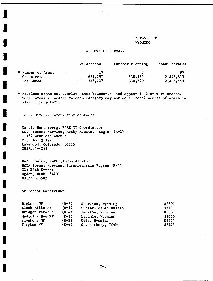
APPENDIX T WYOMING -
ALLOCATION SUMMARY
Wilderness Further Planning Nonwilderness
Number of Areas 19 5 99 Gross Acres 629,297 338,990 2,848,815 Net Acres 627,137 338,790 .2,828,555
Roadless areas may overlap state boundaries and appear in 2 or more states. Total areas allocated to each category may not equal total number of areas in RARE II inventory.
For additonal information contact:
Darold Westerberg, RARE II Coordinator USDA Forest Service, Rocky Mountain Region (R-2) 11177 West 8th Avenue P.O. Box 25127 Lakewood., Colorado 80225 303/234-4082
Don Schultz, RARE II Coordinator USDA Forest Service, Intermountain Region (R-4) 324.25th Street Ogden, Utah 84401 801/586-6502
or Forest Supervisor
Bighorn NF Black Hills NF Bridger-Teton Nl? Medicine Bow NF Shoshone NF Targhee NF
Sheridan, Wyoming Custer, South Dakota
(R-4). Jackson, Wyoming (R-2) Laramie, Wyoming (R-2) Cody, Wyoming (R-4) St. Anthony, Idaho
T-l
82801 57730 83001 82070 82414 83445
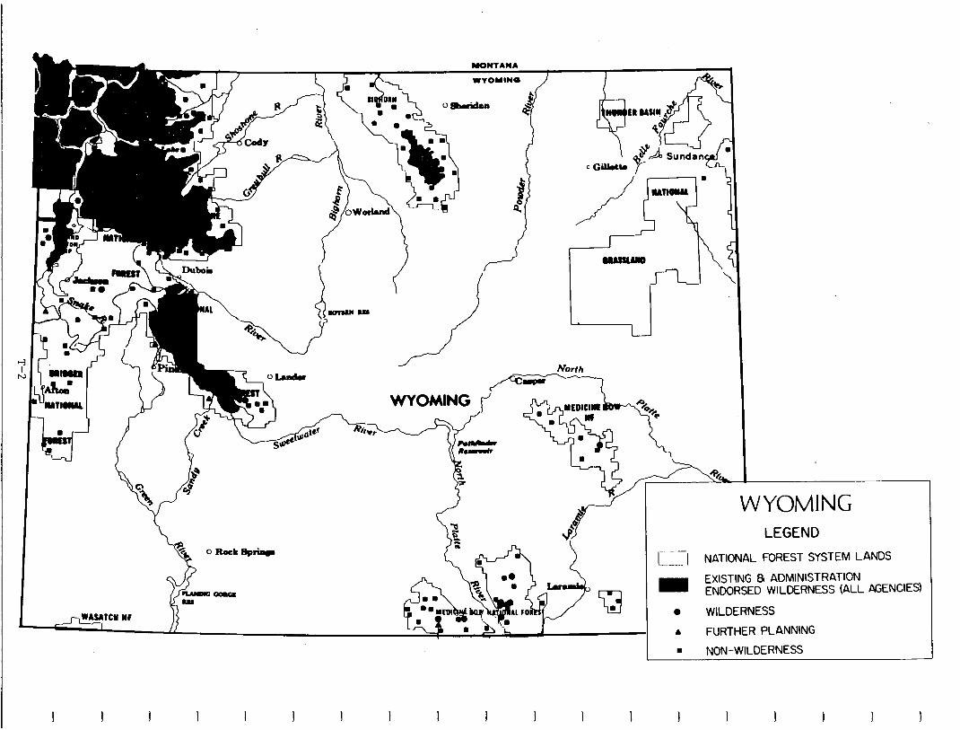
North
WYOMING LEGEND
c;;I NATIONAL FOREST SYSTEM LANDS
- EXISTING & ADMINISTRATION ENDORSED WILDERNESS (ALL KiENCIES)
0 WILDERNESS
A FURTHER PLANNING
8 NON-WILDERNESS
I I t I I I
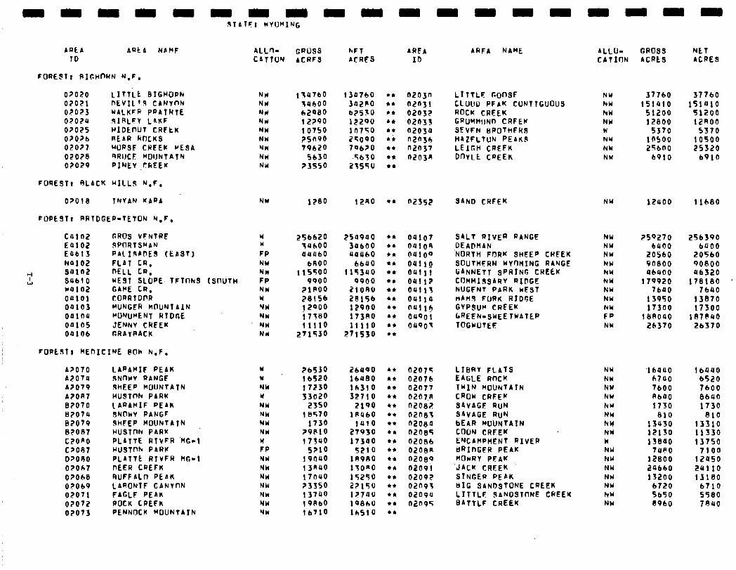
ARt A ARtA NAMF 10
0?020 LITliE BtGHORh 07021 DEVIL ‘3 CANYnN 02023 WALKFR PRAIRIE 07020 9IRLFY LAKF 0?025 HIDtnUT CRltK OZO?b REAR ROCKS OFO??. WRSF CWFEK VESA 020?8 RRIJCF MOIJNTATN 02029 PIFJEV CREEK
FOQESTc SLACK HILLS N,F,
O?OlB TNYAN KAPA
FOPEST, RRTDGEP-TETON h.F,
c4102 CROS VCNTRC Ealo2 SPflRfS”AN E4btS PAL 13AnES (EAST) N4102 FLAT CR.
+I S41?2 DELL CR. L!l SULI 0 WE91 SLOPE. TFTI-INS
U4102 GAPE CR. 04101 CORRTDI’R 04103 MUNGER MOUNTAIN 04104 ~O’QJWENT RIDGE 00165 JENNY CREEK 00106 CRAYPACK
FOPEST) MEnICINE @Oh h.F.
A?070 LARAMIF PEAK A2014 9NnYV RANGi A?079 9HFEP MOUNTATN A?OR7 WUSTcIh PARK 82070 1 APAMIF PEAK B?O74 JNOkV PANGF 87079 SHFEP WOUNTATN 82087 HUSl~h PARK CZOAO PLATTE RfVFR ‘MC-1 C?O87 HUSTnh PARK O?ORO PLATTE RTVFR HI?-¶ O?Ocll DEER CREFK 02018 RUFFALO PEAK 02069 LARONTF GANYnN 02071 FAGLF PEAR 0?072 ROCK LREFK 02073 PENNQCK MOUNTAIN
ISmJTH
ALL+ CATTUN
NW NW Nd NW NW NW NW Nrl NW
NW
u w FP NW NW FP NW W NW NW NW Nd
Y Y NW Y NW NM NW NW W FP NW Nk NW NW NW NW NW
GPUSS ACRES
hFT ACRES
154760 134760 34600 3a2Po 62900 b?S>U 12?90 12290 10750 in750 ?Sfi90 25090 79620 79620
5630 .5630 ?3550 215so
1280 1240
256620 254940 7UhOO 30660 04060 44460
bRO0 bbU0 115500 115340
9900 9900 ZIP00 2lOR6 28156 28156 ! 2000 12POO 17’580 173AO 11110 11110
271530 271530
26530 2bU90 1 bS20 16480 17230 lb310 33020 32710
2350 2100 10570 18460
1730 1410 ?9810 27930 17340 17340
S?lO 5210 191140 lA9RO 13n40 17ORO 17640 15250 ?3350 2?150 13740 12740 19Abo 19860 lbY1o l+iSlO
AREA ID
n203n LITTLF GonsF n2n31 CLUUo PFAK CUNTTGUOUS 02032 ROCK CREEK 02033 GPUMMIJN~ CRFEK 02034 SEVFN BROTHFHS n2n3h HAZFLTUN PEAKS n2n37 LEIGH CREFK n203n DOYLE CREEK
02552 SAhb CREEK
04107 S4Lt RIVER RANGE 0410A DEA’JH4N 04100 ‘NORTH FORK SHEEP CREEK 04110 SOUTHFRN WYnHINC RANGE OUlll GANNETT SPRING CREtK 04112 COMMISSARV RIDGE 04113 NUGFNT PARK ivEsT 0111 la nAn3 FORK RIDGE a411* GYPSUM CREEK 04901 LREEh-SWEETWATEP 04901 TOG~OTEF
02075 LIBRY FLATS 0207b EAGLE ROCK 02077 TWIN MOUNTAIN 0207.n CROW CREEK 02082 SAVAGF RUN n2ne3 SAVAGE RUN n2oBa bEAR MOUNTAIN 0208s C(h3J CREEK n2oBb ENCAMPMENT RIVER 020an 6RInGER PEAK n2oBy HOwRY PFAK 02091 ‘JACK CREEK 02092 STNGEP PEAK 02n9; tcIG SANDSTONE CREEK 02094 LITTLF SANDSTONE CREEK n2n95 BATTLF CREEK
ARFA NAME 4LLU- CATION
NY NW hW NW W NW NW NW
NU
NW NW NW NW hW NW NU NW
::: NW
NW NY NW NW hU NW NW NW W NW NW NW NW NW hW NW
GROSS NET ACRES ACRES
37760 377b0 151410 151410
51200 91200 17800 12~00
5370 5370 10500 10500 256no 25320
6910 6910
12uoo 11680
259270 256390 b400 6400
20560 20560 96800 90800 46000 46320
179920 178180 1 7b40 lb40
13950 13870 17300 17500
18AO40 187(IUO 26370 2b370
‘16440 16440 b7UO b520 7600 7600 AbUO 8640 1730 1730
810 810 13u30 13310 12150 11530 is000 13750
1480 7100 12800 12450 24660 24110 13200 131eq
b7.20 6710 Sb50 5580 8960 7840
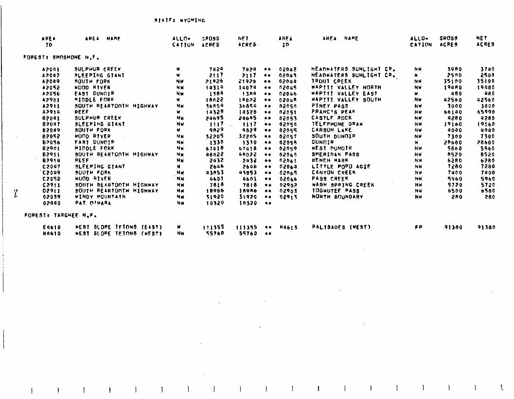
9TA TF! WYOMING
Y L
AREA AREA NAMF ALLO- SPOSS NET AHEA ID CATION ACRES ACRES 10
FOPEST? SHOSHONE N.F .
A2041 SULPFIUR CRFEK w 7424 A?047 gLEEPING GTANT Y 2117 42009 3OUTCr FORK NW ?1926 A2052 WOOD RTVER NW 14314 A2056 EAST DUNOIR NW 1384 A2901 “IDDLE FORK. W i en22 42911 OOUTH REARTOoTH HIGHWAY NW lbR54 A?91 4 REEF W lU328 ezou1 SULPWUR CREEK NW 24695 82007 SLEEPING GIANT NW 1117 e2049 SOUTH FORK W 9B29 82052 WOOD RtvER NW 32205 B?O§b FABT DUNbXP NW 1330 02901 WIOOLE FORK NW 67018 82911 SOUTH BE4RTUt-TH HIGHWAV NW akin22 e?914 REEF NU 2032 czoa7 SLEEPING GIANT w 2646 woo9 SOUTH FORK NW 43R53 C2052. WOOD RIVER NW 4601 c.2911 JOIITW BEARTUOlW HIGHUAV NW 7810 02911 SOUTH REARTUnfH HIGHWAV Nrl 18986 02039 WINOV WOUNTATN NW 51920 02040 PAT F’HA44 NW 10320
7424 2117
21926 10074
13A4 1 no?2 36854 la32s 24b95
1117 QEl29
s>zns 1350
b7418 4no22
2u32 2606
ut053 0601 7818
189Rb 31910 10320
02042 02043 02044 n2045 02OUb 02oun n2nsn n205i 02055 02650 02055 02057 02058 02n59 02063 n2Obi 02060 02n65 02066 029oir 02903 02Qlf
FORESTr TARGWEE N.F.
EU610 WEST SLOPE TFTONS (EAST) WUblO WE91 SLOPE TETONS (WEST)
W NW
1llSSS 111355 +* 55760 557bO l *
W4blS PALTSADES (WESTj
AWEA NAME
HEADWATFRS SUNLIGHT CR. NW SVAO 3740 HEADWAT~RS SUNLIGHT CR. k 2500 2500 TROUT CREEK NW 35100 35100 w4PTTT VALLEY NORTH NW 194RO 19460 -HAPIT VALLEY EAST W 400 480 W4PItI VALLEY SOUTH NW 42560 42560 PINEY PASS NW 3000 3000 FRANCIS PEAK NW b6140 65990 C4STLF ROCK NW 4280 U280 TELFPHoNE DRAW NW 19140 19160 CARSON LAKE NW 4000 4040 SOUTH DUNOIR NW 7300 7300 DIJNO~R w 2AbOO ZBIOO NEST m~N01R NW 5860 5060 SHERIDAN PASS NW 8520 8520 t)ENCH. MARK NW 6280 6280 LITTLE POP0 AGfE NW 7200 7280 CANYON CREEK PASS CRiEK
NW 7400 7000 hW 5960 5960
WARM SPRING CREEK NW 5720 5720 TOGWUTEE PASS NW 6500 6500 NORTH BOuNOARV NW 2RO 280
ALLO- GbOSd NET CATION ACREA ACRE9
FP 91300 91380
I 1 I !
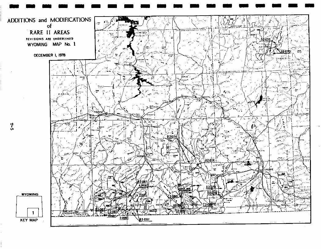
ADDIT ‘IONS and MODlFlCATlONS of
RARE II AREAS EEVISIONS ARE UNDERLlNCD
WYOillNG MAi’ No. 1
DECEMBER I, IWO
WYOMING
Jl 1
KEY MAP
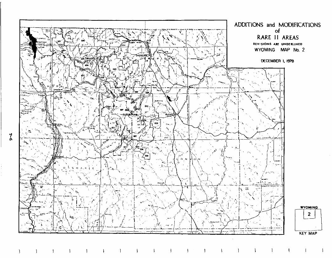
of RARE II AREAS
REVISIONS ARE UNDERLINED
WYOMING MAP No. 2
DECEMBER I, I97B
ADDITIONS and M( 3DtFICATIONS
WYOMING
2
rl KEY MAP
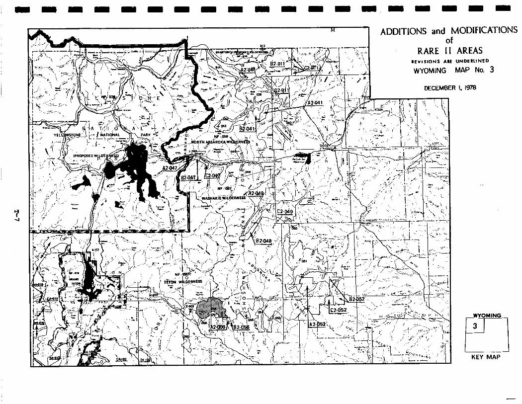
M 1
L , ADDlTlONS and MODIFICA’I of
RARE II AREAS REVISIONS ARE UNDERLINED
WYOMING MAP No. 3
‘IONS
DECEMBER I, I¶
.
WYOMING
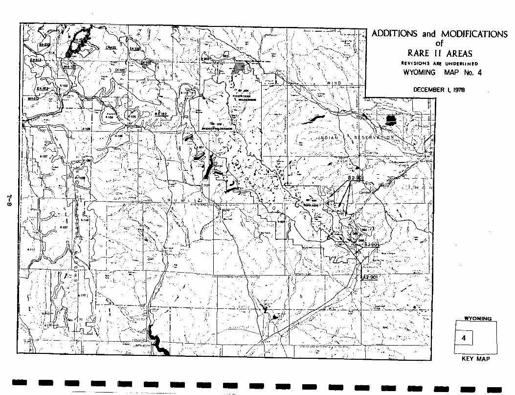
ADDITIONS and MODJFICA of
RARE II AREAS RCVlSIONS ARE UNDERLINED
WYOMING MAP No. 4
TIONS
KEY MAP
I
I I I I I I I I I I I I 1 I I I I
Social. In addition to 4,717 inputs from$y&ing residents, roadless areas in Wyoming attracted considerable public interest from people residing outside the State, indicating significant social concern in RARE II decisions. Out-of-state comment contained a mixture of preferences for wilderness and nonwilderness allocations.
Implementation of the proposed action will provide for minerals exploration, resource development, and motorized and developed recreation opportunities. Effectsoncommunitylifestyles andsocialservices resulting from adverse economic impacts will be minimal. As the economic analysis indicates, immediate potential loss of employment in agriculture, logging, and sawmills will be morethan offset by increases in employmentinthe woodproducts sector andincreasesdueto wilder- ness recreation expenditures.
Although the proposed action provides for protection of symbolic values by al- locating19areastowilderness,negative effects on symbolic meaning of individual roadless areas will occur, since a number of areas (e.g. Little Goose, Cloud Peak Contiguous, Pock CYeek,and Wapiti South) containingsuchvalues are made available for nonwilderness uses. Many of these areas are in the overthrust belt and may contain important mineral and energy resources, and nonwilderness designation will provide for exploration and development.
Economic. A summary of economic impacts for the proposed action is presented in the following table. These are national impacts and may or may not occur in Wyoming. All state impacts are allocated from the national totals and are based upon state resource changes. They are Wyoming's contribution to the national impact. For a complete description on how the impacts were calculated see Appendix W.
The table shows a decrease potential immediate employment in the agriculture and logging and sawmills sectors. However, the increase in wood products and ex- penditures of wilderness recreation cause a greater increase in employment. The potential long-term impact is positive for all sectors.
T-9
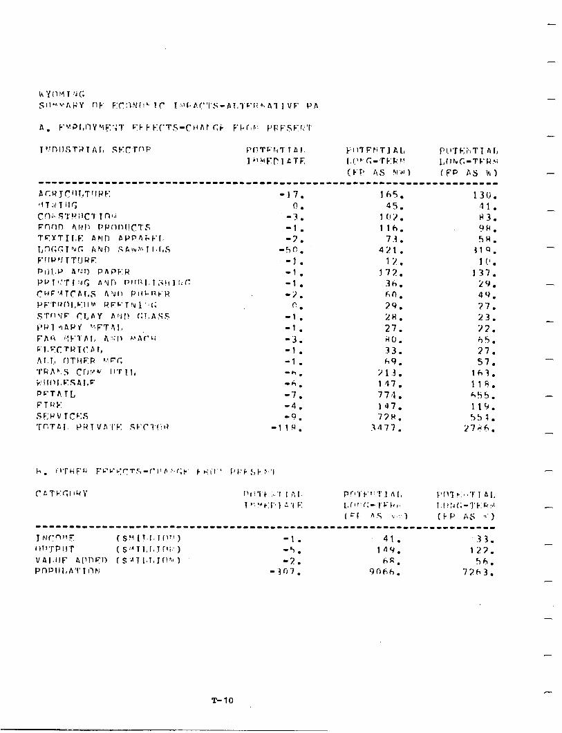
-
-
-
-
-
-
-
-
-
-
-
-
T-10
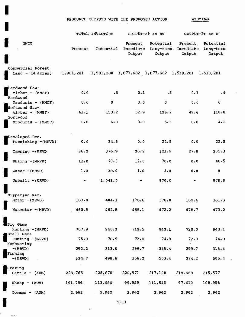
Resource ouTPuTs WITH THE k~0P0sED ACTION WYOMING
TOTAL INVENTORY OUTPUT-FP as NW OUTPUT-FP as W
Present Potential Present Potential Present Potential Immediate Long-term Immediate Long-term
output output output output
I UNIT
Commercial Forest
I Land - (M acres) 1,981,281 1,981,280 1,677,682 1,677,682 1,510,281 1,510,281
I Hardwood Saw- timber - (MMBF)
Hardwood
I
Products - (MMCF) Softwood Saw-
timber - (MMBF) Softwood
1 Products - (MMCF)
0.0 .6 0.1 .5
0.0 0 0.0 0
61.1 153.2 52.9 126.7
0.0 6.0 0.0 5.3
0.1 .4
0.0 0
49.6 110.8
0.0 4.2
0.0 34.5 0.0 22.5 0.0 22.5
36.2 376.9 36.2 321.9 27.8 305.3
12.0 70.0 12.0 70.0 0.0 46.5
1.0 38.0 1.0 3.0 0.0 0
1,041.o 970.0 970.0
I Developed Rec. Picnicking -(MRVD)
I Camping -(MRVD)
Skiing -(MRVD)
I Water -(MR~)
Unbuilt -(MRVD)
I Dispersed Rec.
I
Motor -(MRVD)
Nonmotor -(MRVD)
183.0 404.1 176.8 378.0 169.6 361.3
463.5 462.8 468.1 472.2 478.7 473.2
I Big Game Hunting -(MRVD)
I
Small Game Hunting -(MRVD)
Nonhunting
I
-(MRVD) Fishing
-(MRVD)
707.9 940.3
75,.8 78.9
719.5
72.8
292.2 313.0 296.7
324.7 498.6 368.2
943.1 720.0 943.1
74.8 72.8 74.8
315.4
503.4
299.7
374.2
315.4
505.4 ,
I Grazing Cattle - (AUM) 228,766
Sheep - (AUM) 101,796
Common - (AUM) 2,962
225,670 220,971 217,100 218,688 215,577
113,686 99,989 111,515 97,610 108,956
2,962 2,962 2,962 2,962 2,962
T-11
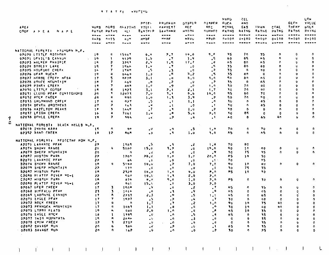
02070 LTlTLF RIr.hnGN 0?071 DFVIL’S CANYW 0?0?3 kALKEP PRAIPIC 02024 STHlFv LAKt 02025 HTLJFuI)I CQtFr. 02026 bFAQ WCK? 0?0?7 hflRSE C”EFP MFSA O?OPb 6QIJrF. MW*rl A IN O?OPQ PINFY CPEFK O?OtO LTTTLF GUnSF 02011 Ll.0110 PFA” CLINT TGl~OllS O?OfZ wncc CREEU 020’13 GW”MIIND CRFE” 0203u SFVFN CI~OTHFRS O?Ofb HAZFLTON PtAWJ O?Ot? LFIGH CREFK OZOtB DnVLE CQEFK
H NATIONAL FOREST1 bl.ACK HTLLS h.F. oiilb IYYAN KARA 02357 YAhl! rREEK
NATlONAL FORE91 I NFDTCTNF A2070 LARAklE PFAK A?074 SNOWY RANGE A?079 Sc(EFP MW’Jl A IN ApOe rllST@N PAQh BzO70 LAkAHIE PFAU 82078 S’WWY RAhRE 82079 SWEFP MfhJNTAIN 82047 Hll3TlJN PADE CZORO PI ATTF PIVEP 'G-1 c21JR7 HIISTU~ PAQ)c
D,?OAO Pl,ATTF RIVtW VG-1 02067 UFEQ rREEK O?ObB B!!FFAlu PFA” 02069 LABnNlE CANVO’J 07071 EfiGLE PFAw OPO72 Hftfu ?REEK 02073 PFNNUCK WlU~TAIN 02075 Ll@RV fL.AtS OF076 tAGLE R’X’f OZO77 1wIN WllNTATh 0?078 CP(!W rl?EEK OZOnZ SAVAGF QUM 02083 SAVAGF QUN
12 10
POW ‘J.F. 2s 21 20 22 22
: : In 27 1n L? 17 23 17 17 17 17 19 10 I< I? 20 2n
I I(
u 1 z 7 7
t 7 7 u t u
u ?
1 u
?
u
4
3 3 n 7
0 u h
1 R 3 b n
b.& ‘.7 1.5 .7 2.‘I 1.5 1.” .7
.5 .3 1.5 .= 3.1 . 11
.b ? . 1.U .9 3.1 ?.i 7 l 1’ 3.1 1 .o 1.3
.5 .l
.U .l
.7 .’ 1 .” .@
. i .?
.Q
.’
.5 .t 15.0 3.p
.d .fl 20.U 1.n
.l .n 10.1, .2
.u .n lb.,U 1 .n 10.t 1 .t
U . IJ 5.n 15.0 .I
.V .u
.o .7 2.3 .o
.5 .? 1.7 .7 1.1 .u 2.6 I.0
.U .n
.b .n
.u .n
.2 .?
.O .n
I I
lU.0 1.9
17.1 .o .o
b.7 t . 0
.U
2:; b.b 3.9 1.1
.O I.0 5.4
.u
.5 1.0
.2
.u
.O 1.0
7:: .U
l’:: 1:o 3.0
.i?
.9
.S
.4
.z
.a
.u
.5 0.3 .a .b .o
I
5.P
.5
.fl
.q
.'
.5 3.0
.' 1.n 1.7
1fi.O .7
::
.? >.n
.I
75 60 A5 35 35 15 c 0 35 10 to 55 50 to tu to to h0
1.n 3.n
1.0 1q.n
.Q 2n.n
.I 7.0
.1 p.n ?.fl 2.n 2.0
7 . .o
1.1 .7
1.* 0
:p .u .u
:;
.2
I
70 R5
70 QO 10 R5 70 Qll 70 p5
p5
65 &S h5 30 90 70 55 65
0 0
65 30
I 1
70 35 05 65 6n &,5 an 00
n 'J 0 lln 0 iin 65
n h5 7n uo 70 an 80 70 70 CO
n a5 n as 0 0
05 0 0 bS
n n
00 in 75 in
n
n
0 0 n
in I’, la
n 0 0 n n
70 hS
UO 7s 30 75
2 70
30
75 0 5 65 4 0 75 00 35 15 55 75 15 2s
0 n r n n 0 0 n 0 4 r! n a 0 n 0
4n
n n
n I)
n
n
n
0 n
0 90 rcn
0 0 n n
0 n
0 U IJ U 0 u U u I, 0 0 U 0 0 0 0 IJ
0 0
u 0
0
0
I, 0 0' 0 0 0 0 0 U u 0 0
I
n 0 0 n n 0 n n 0 0 n
n n n 0 0 n
n 0
n n
n
n
0 0 0 0 0 0 n 0 0 0 0 0
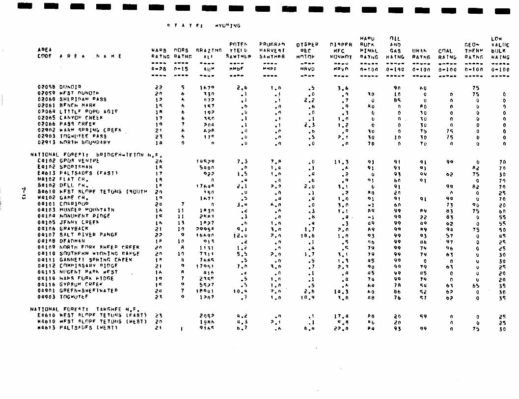
02058 DIINOI~ 02059 WFST nUNOrk 02060 SHCRIDAN PASS 02061 BFNCh MARK 0~060 LTTTL' PUP0 AGIF 02005 CANVOh! f.WEtl( 02066 PAS3 rRFEK 02902 k4RM SPRING CREFk 02903 TnG*(!TEE PA93 02913 hnl?lH bnU'-JDARV
NATIONAL FlraErlr bRIDGFti=lFTflN h.F.
I 7 94102 SO610
oaili OOlll?
ii WOlOZ 00101 00103 04100 00105 Oalob OQlO7 041ntl oo1n9 00110
oaii3 oaliu OS116 009ni 04903
CPU.9 VEwTPt
GANNETI SPkl~r; CkFEK
2b SPOPT~M~N
1n
14 PAL TSADFS (FAST 1
Cnt’WI~SARV PIDGF 21
I7 FLAT CR, 19 DFLL rn. 1* kFST !4L"P'F lETtiNS (qUlJlH 2a GAhF rN. 10 cnaalnw 20 MIJNCEP +‘OllhTAlN 16 CinNUrFhT PInGF 1= JFhNv CREFh GWAVBACK :: SALT DIVER PANGF 22 DFADM4N 1p NfWtlti FnRu 9hFtf' CRFEK 2n SNITHFHN WbflhING CAVl;F 2n
NATIONAL FUQECT? TARr.hFE N,F, E4610 kESt qLf'PF TETUMS (FAST) 2'3 no610 wFS1 9LnPF TETUNS (WtST) 2n 10613 PALTSPDFS lUE91) 21
PnTEh POQS cRAz1Nr: VIEI IJ
5 6 h b b 6 7 6 4 0
7 11 II 11 10
0 10
m In
u 0 R 7 0
? 0
I
7.3 .h
1.5
2:;
:i 3.0
:: . tJ
9.1 i2.b
.2 1.2 5.5
.5 7.h
.C
.s
.5 1O.Q
.7
u.2 4.5 6.7
.5
2:: .b .o
2::
:Fl .O
.O
.l
.u
.6 2.0
.l
.4
:.; .b .U
1.7 16.b
.1
.U 1.7
.s
.t
.I
.I
.S 2.b
10.9
0.1 1
b:u
3.6 .') .7 .9 .3
1.0 1.2
0
?:I
.n
11.3 .A
7 . .o
3.1 .>
1 .n 3.0 1 .l
.a
.3 2.0 1.0
.5
.q 'I.1 1 .x 2.3
.u
.O
.A la.3
7.0
11.4 =.q
2p.n
HADO RUCr, MIYkL QAThG
TO 0
40 0 u 0
30 30 '10
9n h0 10 0 84 0
r) PO 0 30 0 'To 0 30 n 75
10 30 0 7 1’
91 91 01 91
u 93 01 bn
0 91 4 u 20 01 91 -1 bn R9 99 -1 99 09 99 R9 90 03 99 '16 99 79 99 79 99 05 90 OU 99 05 99 7P 99 64 ?A *0 86 08 76
PO n(1 PO
20 20 93
0 n 0 0 n
7: 75
0
91 91 OY 91
90
b2
91
PY 22 119
a9 03 Ub 79 79
0 79 05 79 54
52 c;?
99 n
90 73 83 83 a2 9u 57 97 96 63
0 63
0 n
bt 62 a2
c;9
99
n n n
CEO- THERM RATkc
75 75
0 Ir 0 0 0 0 0 u
0 R2 75
0 82
0 u
OU 75
u 0
75 0 0 0 (1 U 0 U u
65 0 0
0 I,
7s
70 70 30 7a 70 25, 70 20
;: 5s 50 us 25 2s 30 30 25 20 20 35 30 35
25 25 30
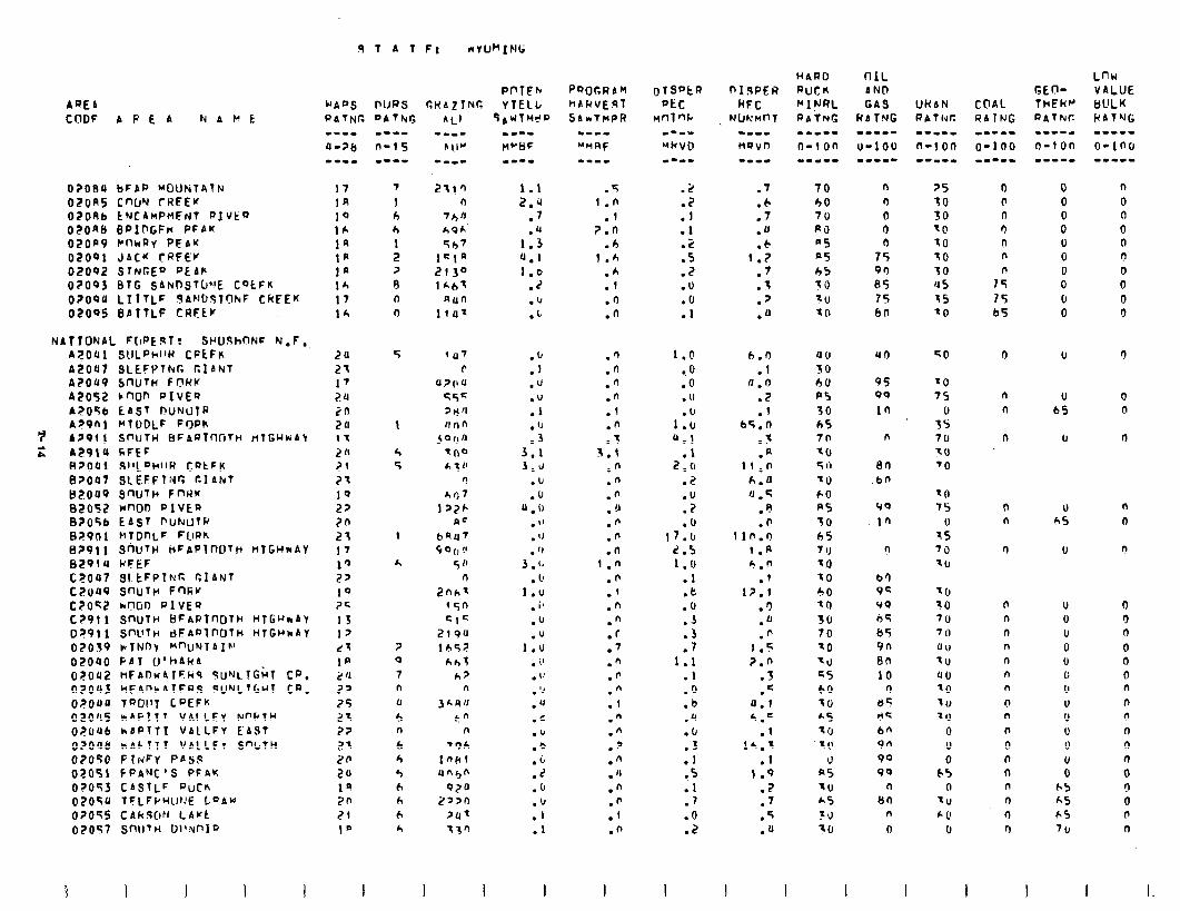
AREA CllDF A P E A NAlft
02oeu bFAQ ~OUhtAlN
OZORS cnw CHFEw 02OAb tNC4~PtlFrdT QIVtQ 02one BQlDGFk PFPK 02op9 CflhRV PFbU
02001 J4C’f tRFEr 02OQ2 STNGEQ PE 4)r
02093 BIG SANOSTO~IE CQtFK
O?OQU LTlTLF SANDdTOhF CRFEK 02095 BATTLF CRFtU
NATTONAL F[IPE~T? St’UdhnNc N.F, A?041 SULPklW CPLFK A2Olll SLEFk'Thr. GIANT AZ049 5WTh FCWU A2052 cnOn PIvEQ A2056 E4St OUNcllQ A?Pnl MTDDLF FoPK
7 A291 1 SWTH 8F4QTWTn fiTCHkAY 2 A291U CFEF
BP001 SI.‘LDhllR CQtFk 82047 SLEFFT;Jc cl 4kt 82049 SnlfTh FnRK 82052 won PIVEQ B?O5b E4ST PUNUTW 87901 HTDnLF FClPh B?Pll ShUTH t+FAPlnDTrc HTGHNAY B29iu WFEF C2OQ7 Sl.tFPTkT: GIANT CEuP9 S"uTn Fnkr C7042 hCVJ0 QlVEQ C?911 SfWlk’ BFAPTWITH HTb’JmAY D?Pll SWTH dFAn?nDTH WTGI’kAY 02039 ~lTNny ““UNTAIh’ 02090 PAT U’h4k4 02042 HFAl-~wllFril SUNLTGLT CQ, 02003 hF4”hATFA.S 9UNLtGUl CP, 02OaO TQOIIT LQEFK 02045 hAPITT VAILFY NP’PTH o?Oab hAPTl1 VALLFY EAST 02Oa6 wAiTT1 VAlLFr S”l,TW 02OJO PIrdFy PASS 02051 FPANC’S PFAK 02OS3 CASTLF QuCK 02OTU TFLFIJ~(LI~‘E L”AW 07055 CdkSC~ff LAUL 02057 sn\lTH D1l:mlQ
5
1
4 5
1
h
? 0
7 n u
5 n h 4 4 h h b h
I I
Pt’TEb Y TELL
qAWThl?r, mm--
tl~tlF
PQOGRdM HARVEgT SAkTlwPR
1.1 .5 2.4 i .n
.’ .l
.u 7.0 1.3 .4 4.1 1 .h 1.6 .A
.z .f
.b .I)
.L .n
:;
.u
.u .l . ‘J .3
3.1 J.J
.b
.u 0 . 0
. "
. 'J . 'J
3 . (, . 1'
1.u . ib .u .”
1.u . I’ . 1’ . ‘J .‘I .c .” .Q .i .z .fJ . ‘J .I .1
.fl
.n
.‘1
.”
.l
.n t
3:;
.n
.n
.n .u .fi .n .n
1 .n .n .’ .n .‘) .r .T .” .fi .” .1 .n .n
.’
.n
. ”
.n
.n
.f
.n
I I
:S .l .l .(? .5 .2 .u .tJ . 1
1.0 c 0 .o .U
1::: 0.1
.l 2.u
.2
.U .7 .U
17.b 2.5 1.0
.l
.t: .u .3 .3 .7
1.1 .l .o .b .a .b .3 .l
*.s .l .) .O .2
I
h.0 .I
Il.0 .2 .l
b5.n 3 . .
.fi 11.0
h.u u . G
.e
.b 11n.0
1 .fl 4.n
.1 I?.1
.‘) .a .n
1.5 7.0
1 . .q
4.1 h.C
.l 1h.l
.I 1.9
.2
.7
.5
.a
n
(1 0 0 n
75 90 65 75 60
n
en .bn
(10
in
b’) 92 99 65 &5 Yn en 10
r) 65 65 6n 9n 90 90
n 8n
n 0
n n
n
0 n
n n n
n n n n ? n n 0 n n n 0 n 0
n
0 0 0 0 0 0 0 0 0
0
0 c!
0
n
0
n
0 0 0
0 0 0 n n n n n n
0 0 0 d n

APPENDIX LJ - ANALYSIS OF PUBLIC COMMENT
The public responded totheRARE II Draft Environmental Statementwith 264,093 inputs bearing359,414 signatures. Analyzingthis large amount of input to make it useful for decisionmakerswas an enormous task thatwasaccomplishedwithcentralizedanalysis in Salt Lake City, Utah. The objective of the analysis was to compile and display publicpreference,reasons, suggestions, and comments on individual roadless areas, alternative approaches, decision criteria, and adequacy of the draft statement. No value judgements or weighing of responsesweremade during analysis. It was performed inone location by a team created expressly for this purpose to insure uniformity of analysis.
Content analysis wasthe process used torecordpubliccommentand provide an objective method for analyzing the large number of comments. Content analysis provides for awide variety of opinions, recommendations, and reasons supporting opinions to be recorded. Each response was individually read and coded using a selected set of responses summarizedin a codebook. Mostwere recorded on computer fonnstofacilitate storage andretrieval of data. Some response, such as suggested boundary adjustments, unique information on resources , wilderness attributes, social and economic factors, andother significant suggestions, not codable for computer display was noted and returned to the appropriate Region or National Forest for further consideration.
Individuals employed to read and code input were carefully trained and continuously checkedthroughoutthe codingprocess. They were assignedto work onresponse received from specific areas of the country to again insure uniformity. Code sheets were checked for accuracy before being placed in the computer. Additional checks were made of computerized data to insure erroneous data was expunged from data files. Theerrorratewas kept very smallby use of this checking anddouble checking process.
The content analysis process followed specific steps. First, each input was given a unique sequence number that coded individual input and receiving Forest Service Unit. This~erallowedthetrackingofindividualresponsesthroughout.theprocedure. Respondents zip code was also recorded to facilitate sorting and display of input by state. Thenformof input wasrecorded inthe followingcategories:
- Personal Letters - Letters, postcards, verbal comments and reports comprised this category. Personal letters may have had more than one signature.
- Resolutions - This category contained a statement of position advocated by an elected body or organization that began "Whereas . . . we hereby 'resolve . . ."
- Petition and Form Letters - Included preprinted form letter responses and petitions where the respondent only signed their name. Form letters with added new thoughts or extra comment were recorded as personal letters.
- Response Forms - Preprinted forms that gave a respondent a choice for preference of roadless, area allocations and/or alternative approaches were included in this category. They were always coded as response form regardless of added comment. Response forms attached to a personal letter, other than transmittal letter, were coded as a personal letter.
U-l
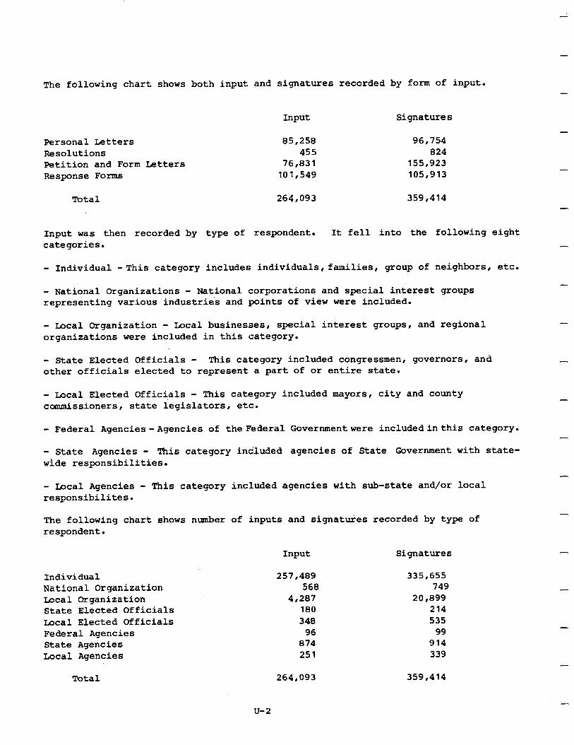
The following chart shows both input and signatures recorded by form of input. -
Input Signatures -
Personal Letters 85,258 96,754 Resolutions 455 824 Petition and Form betters 76,831 155,923 Response Forms 101,549 105,913
-
Total 264,093 359,414 -
Input was then recorded by type of respondent. It fell into the following eight categories. -
- Individual -This category includes individuals, families, group of neighbors, etc.
- National Organizations - National corporations and special interest groups representing various industries and points of view were included.
- Local Organization - Local businesses, special interest groups, and regional organizations were included in this category.
- State Elected Officials - This category included congressmen, governors, and other officials elected to represent a part of or entire state.
- Local Elected Officials - This category included mayors, city and county ccmmissioners, state legislators, etc.
-
-
- Federal Agencies- Agencies of the Federal Governmentwere includedinthis category. -
- State Agencies - This category included agencies of State Government with state- wide responsibilities.
- - Local Agencies - This category included agencies with sub-state and/or local responsibilites.
The following chart shows number of inputs and signatures recorded by type of respondent.
-
Input Signatures
Individual National Organization Local Organization State Elected Officials Iocal Elected Officials Federal Agencies State Agencies Local Agencies
-
Total 264,093 359,414
u-2
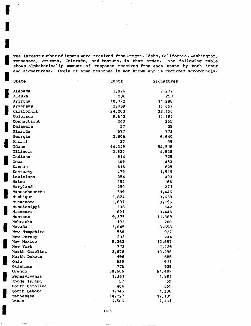
The largestnumberofinputswere received fromOregon, Idaho, California,Washington, Tennessee, Arizona, Colorado, and Montana, in that order. The following table shows alphabetically amount of response received from each state by both input and signaturess. Orgis of some response is not known and is recorded accordingly.
\ State Input Signatures
Alabama 3,876 7,277 Alaska 236 250
Arizona 10,172 11,288 Arkansas 3,939 10,657
California 24,203 32,150 Colorado 9,612 14,194 Connecticut 243 255
Delaware 27 29 Florida 677 773 Georgia 2,806 6,640
Hawaii 37 39 Idaho 44,349 54,518 Illinois 3,820 4,820
Indiana 614 729 Iowa 409 453 Kansas 616 628 Kentucky 479 1,516 Louisiana 354 493 Maine 152 166
Maryland 250 271 Massachusetts 589 1,446 Michigan 1,824 3,638 Minnesota 1,697 3,156 Mississippi 136 142 Missouri 801 3,446 Montana 9,375 11,389 Nebraska 192 288 Nevada 3,045 3,698 New Hampshire 558 927 New Jersey 233 244 New Mexico 8,263 12,687
New York 713 1,126 North Carolina 3,676 10,298 North Dakota 496 688 Ohio 530 911 Oklahoma 775 928 Oregon 58,606 61,487
Pennsylvania 1,341 1,901 Rhode Island 57 59 South Carolina 406 559 South Dakota 1,146 1,338 Tennessee 14,127 17,139 Texas 6,586 7,331
u-3
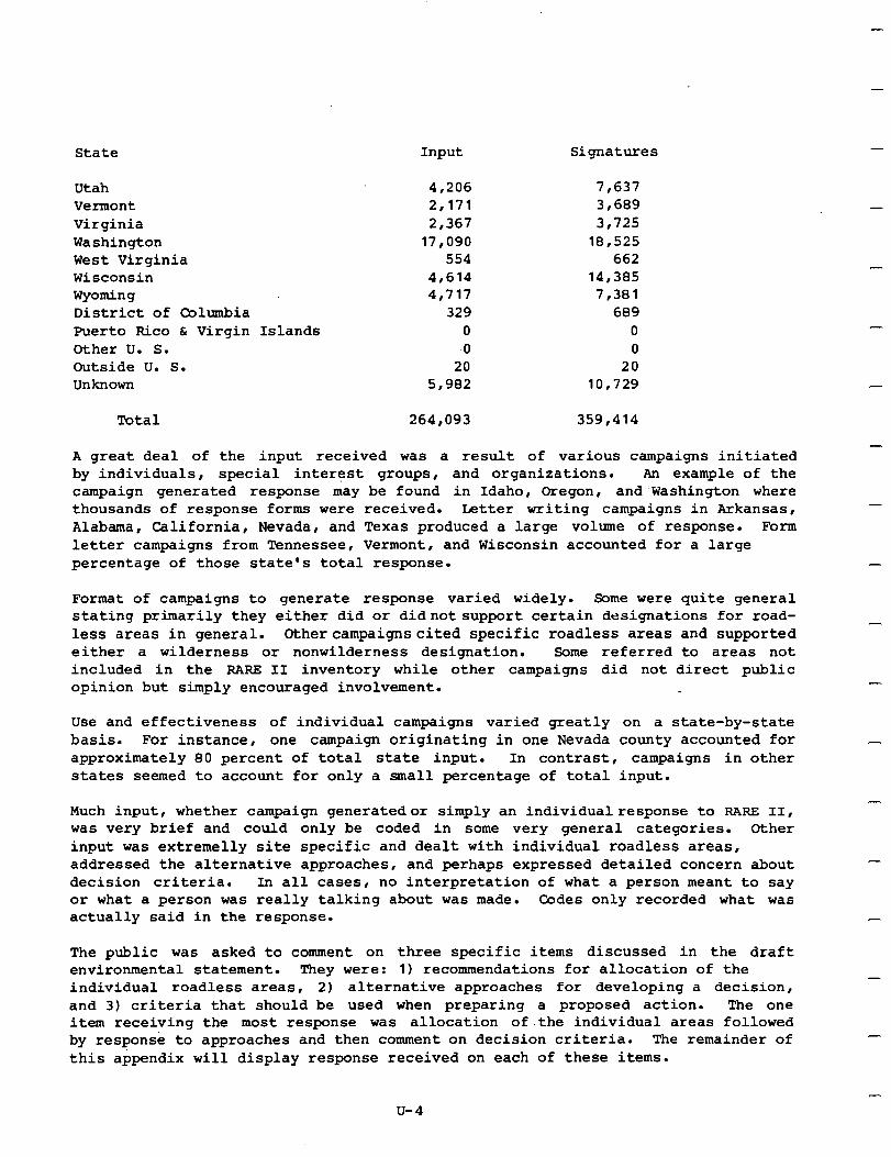
State Input Signatures
Utah Vermont Virginia Washington West Virginia Wisconsin Wyoming District of Columbia Puerto Rico C Virgin Other U. S. Outside U. S. Unknown
Total 264,093 359,414
Islands
4,206 7,637 2,171 3,689
2,367 3,725 17,090 18,525
554 662 4,614 14,385 4,717 7,381
329 689 0 0 -0 0
20 20 5,982 10,729
A great deal of the input received was a result of various campaigns initiated by individuals, special interest groups, and organizations. An example of the campaign generated response may be found in Idaho, Oregon, and'washington where thousands of response forms were received. Letter writing campaigns in Arkansas, Alabama, California, Nevada, and Texas produced a large volume of response. Form letter campaigns from Tennessee, Vermont, and Wisconsin accounted for a large percentage of those state's total response.
Format of campaigns to generate response varied widely. Some were quite general stating primarily they either did or didnotsupport certain designations for road- less areas in general. Othercampaignscited specific roadless areas and supported either a wilderness or nonwilderness designation. Some referred to areas not included in the FLARE II inventory while other campaigns did not direct public opinion but simply encouraged involvement.
Use and effectiveness of individual campaigns varied greatly on a state-by-state basis. For instance, one campaign originating in one Nevada county accounted for approximately 80 percent of total state input. In contrast, campaigns in other states seemed to account for only a small percentage of total input.
Much input, whether campaign generatedor simply an individualresponse to RARE II, was very brief and could only be coded in some very general categories. other input was extremelly site specific and dealt with individual roadless areas, addressed the alternative approaches, and perhaps expressed detailed concern about decision criteria. In all cases, no interpretation of what a person meant to say or what a person was really talking about was made. Codes only recorded what was actually said in the response.
-
-
-
-
-
-
-
The public was asked to comment on three specific items discussed in the draft environmental statement. They were: 1) recommendations for allocation of the individual roadless areas, 2) alternative approaches for developing a decision, and 3) criteria that should be used when preparing a proposed action. The one item receiving the most response was allocation of.the individual areas followed by response to approaches and then comment on decision criteria. The remainder of this appendix will display response received on each of these items.
u-4
Roadless Areas. Preferences for allocation of individual roadless areas to wilder- ness, nonwilderness, or further planning was recorded along with the reasons given to support stated preference. Although other areas were identified, the content analysis process only recorded input on those roadless areas in the RARE II inven- tory. Most respondents supported either a wilderness or nonwilderness designation with very few suggesting further planning for roadless areas.
As the response was received at the content analysis center in Salt Zake City, it became apparent that certain decisions would need to be made on how to code various types of comments. This was necessary to insure analysis remained objective and the amount of data was kept at a reasonable level. Response received dealing with specific roadless areas and alternative approaches was similar in many instances and had to be divided between the two categories. Comment on individual roadless areas was recorded in the roadless area category if it:
- Stated a preference for allocation of a specific , named (or numbered) roadless area.
- Stated that all roadless areas on a specific National Forest should be wilderness.
- Stated that all roadless areas in a specific county should be wilderness.
- Listed all roadless areas within a state or larger area and indicated a preference for some to be allocated to wilderness and others to nonwilderness and/or further planning.
By way of contrast, inputwascodedas an alternative approachifit:
- Stated that all roadless areas (without specifically naming them) in a specific state should be wilderness.
Another issue that emerged part way through the content analysis' process was support for specificcitizen'salternatives suchas alternative Wandthe Taxpayer's alternative. The details or specific allocation of each of the roadless areas involved in these alternatives was not known when support for them was first received. It was found that these citizen alternatives contained recommendations for allocation of specific roadless areas in many states and included reasons to support the preference. It was decided thisinputshould beincludedinthe site specific roadless area allocation and istherefore included inthe following display. In total, there were 45 separate citizen alternatives supported by 12,081 inputs in 29 states.
The following table displays stated preference for allocation of individual roadless areas. Response indicates total signatures supporting the allocation to wilderness, wildernesswith boundaryadjustments, further planning, further planning with boundary adjustments, and to nonwilderness.
u-5
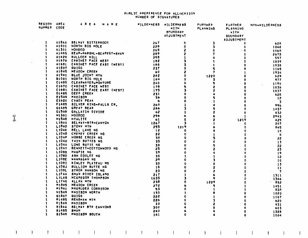
PtlRLIC PPEFEPENCC FDP ALLnCATION NUMBER OF SIGNATLJR~~ -
C
CL
REGION NUMRER
: I 1 1 1 1
: 1 1 1 1 1
: 1 1 1 1 1 1 1 1 1 1 1 1 1 1 1
: 1 1 1
AREA AREA NAME *ILDEbNESS ~ILDERWSS CODE WIIH
BOUNDARY ACIJUSTHENT
AlBAA Al001 A1301 A1485
2b7 228 265
Alb20 AlbTo Alb0i Al807 Al805 Al001 BlOOl Cl085 Clbto Cl681 DlU85
SELWAY BITTERROOT NORTH BIG HOLE HO0000 0EAPlMARSHLlSCAPFGT~SWAN BULLOCK HILL CABINET FACE WEST CARINET FACE EAST (WtST) QUIGG MEADOW CREEK BLUE JOINT HTN NORTH SIG HOLE ~LEARYATER~oNTuRE CABINET FACE WEST
Zeo 2SB 182 180 237
60 202 ia4 240 178 11s 251
3b b
26” 2Rb
B2 296
61 1267
255 12 22 30 35 30 25 39 35 29 30 16 23
217
‘t:: 272
53 130 222 226
33 300 240 191
8 2 2
: 3
z 0 0
ii 3 0
8
: 1 b
!i 1219
0 0 0 0 0 0 0 1 0 0 0 0
: 0 6 0 1 0 0 0 4 b 0
CABINET FACE EAST (WEST) DEFP CREEK MADfSON CA8E.Y PEAK SILVER KING-FALLS CR. GRFAT 0EAR M;;I" DIVIDE
HYALITE SELWAY-BTR-CANYON STONY MTN BELL LAKE NC
Eisoo El620 Fl485 G1185 GlSOEk H1301 Hl518 LlBAA
::x:i LIDAD LlDAP LlDAU LlDAx LlDAY LlDBEl
::::; LlDBI
::xi: LlFAA LlLAQ LlYAG HlGPS Ml901 NlSOP Gl807 RlUGS a1509 SlBAA 81485 81509
CHENEY CREEK NG HORSE CREEK Nt TnIN-BUTiiS NC LONE BUTTE NC BENNETT-COTTONWOOD NG MAGPIE NG ASH COULEE NG WANNAGAN NG KINLEY PLATEAU NG BULLION BUTTE NG STROM HANSON NG SWAN RIVER ISLAND MCGREGOR THOMPSON ALLAN HTN MEADOW CREEK MAGRUDER CORRIDOR MADISON NORTH QUIGG RENSHAW WTN MADISON 8ELYAY BTR CANVONS 8WAN WADIsON 8OUTH
1 I 1 I I
FURTHEP PLANNING
3 3
3 u 1
: 7
1220 3 5 2 2
z 1
: 2 b 2 1 b a
: 0
5 u
: 0 2 2 6 9
1229 5 1 El
: 2 0 4 0
FURTHER PLANNXNG
WITH BOUNDARY
ADJUSTf’ENT 0 0
.o 0 0 0 0 0 1 0 0 0 0 0 0 0 0 0 0 0 1
1219 0 0 0 0 0 0 0 0 0 0 0 0 0 0
i 0
t 0 0 0 0 0 0 0
NnN-WILDERNESS
b28 1oue lob8 2672
591 1039 1038 116s 1934
629 977
1194 1036 1037
b28 12
3 996
1037 052
2903 425 207 845
14 u
22 13 22 23 19
:: 13 11
13,: 1 fbb
852 1951
838 1020 1107
b20 431 603
1328 1000
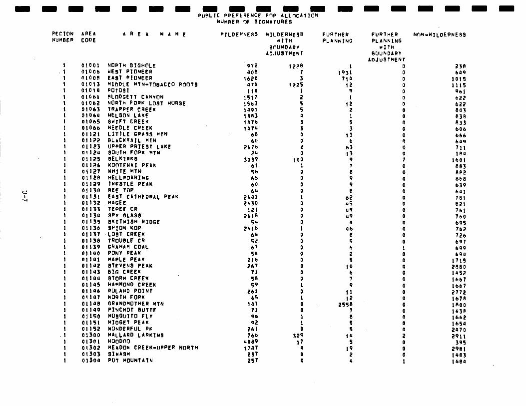
PEEION AREA NUMBER CODE
01001 01006 RlOOB 01013 01014 OlGbl 01062 019bJ OlobU OlObS OlOIb 01121 01122 01123 01129 01125 01126 OllZT Olli!A 01129 01130 01131 01132 01133 01134 01135 0113b 01137 0113S 01139 01 la0 01141 01 la2 OllUS ollaa ollas OllUb 01 lU7 01 lU8 01109 01150 01151 01 IS2 01300 01301 01302 01303 0tSoa
AREA NAME
NORTH ~tGH@LE WEST PIONEFR EA;t PiUNEER MIDDLE MTN.TOBACCO ROOTS PotosI PLOOGETT CANVON NORth FOPr LUST HORSE TRAPPER CREEK NELSON LAKE BtiTFt CREEK NEEDLE CREEK LITTLE CR)93 MtN 6LsCiiAIL MTN UPPER PRIEST LAKE SoUtH FORK MTN SELKIRK9 KOOTENAI PEAK WH]tE MTN HELLROARIhG fRL8tLE PEAK BEE TOP EAST CATHEDRAL PEAK MAGEE TEPEE CR SPY GLASS SKI7wIS~ RIDGE SPION KOP LOST CREEK TROUBLE CR GRAHAM COAL PONV PEAK MAPLE PEAK STEVENS PEAK BIG CREEK STORM CREEK HAM~ONO CREEK ROLAND POINT NORTH FORK GRANDMOTHER MtN PINCHOT Rum MOSGUITO FL.t MIDGET PEAK NONDERFUL PK ;;b’;;” LARKINS
HEADO~ CREEK-UPPER NORTH SIwA8H POT MOUNTAIN
RuFLIC PREFERENCE FflP ALLftCAtTUN NuMRER OF SIGNATURES
‘“ILDENNEBB NILDERNEBB a1tw
0CIUNDARV ADJUSTWENT
972 008
1620 a76 1lU
1517 lSb3 lU91 lOA lU7b 147u
68
Zbt: zu
3039 hi 56 65 60 b’,
2641 EbSO
121 2618
54 Zblb
64 52 67 50
2lb EL7
71 3’3 59
261 bs
191 71 96 QZ
261 76b
UO89 1707
237 257
1228
: 1 P.25
: S S a
3 0 0 z 0
109 1 0 0 0 0 1 0 0 0 0 1 0 0 0 0 0 0 0 0 1 0 1 0 0 1
i 329
11 u 0 0
FURTHER FURltiER NF)N-WTLDEPNESS PLANNING PLAhklNG
1 1931
710 II?
9 1
12 2 1 S 3
13 6
03 13
9 7 8 9 9 8
62 us u9 89
u a6
8 5 h
s 10
b 7 9
11 12
2558 7
: 5
10 S
19 2 a
WITH GUUNDARV
A~JUSlkENl 0 0 0 0 0 0 0 0 0 0 0 0 0
8 7 0 0 0 0 0 0 0 0 0 0 0 0 0 1 0 0 0 0 0 0 0 0 0 0 0 0
: 0 0 0 1
238 bll9
101s 1115
961 022 622 843 638 933 bob 666 bUQ 711 1eu
1601 883 8PZ 868 b39 641 781 821 761 760 695 lb3 tzb 691 699 690
171s 2680 1452 1667 lbb7 2772 1678 1800 lU3@ 1662 1654 2470 2911
395 2981 1483 1oea
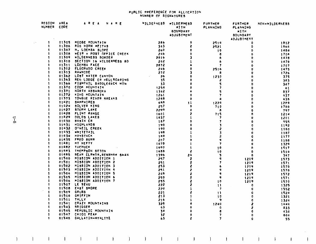
PuPLIC PPEFEREMCE FOR ALLtXAtIOk NUHRER OF BIGNAtURiS
REGION NUM8ER
1 1 1 1 1 1
: 1 1 1 1 1
: 1 I 1 1 1 1 1 1 1 1 1 1 1 1 1 1 1
: 1 1 1 1 1 1 1 1 1 1 1
: 1
AREA AREA NAME “ILDEFNEBB *ILDERNEBB CODE RITH
SOUNOAR~ AOJUBTMENT
01305 01306 01307 OlSOE! 01309 01310 01311 01312
MOOSE HOUNtAIN RIG HORN WFITAB N, LOCHSA SLOPE kEIR + POST OFFICE CREEK WILDERNESS BORDER SEctION lb wILDERNE99 BD LOCHSA FACE ELDORADO CREEK RAWHIDE LOB1 MATER CANYON REr) LODGE CR HELLROARING
-FISHTAIL SADDLEdACI( MTN COON MJUNt4IY NORTH ABBAROKA KI~JG MOUNtAlN TONGIJE RIVFR RREAKB SAPPHIRES SILVER RING STORM LAKE
01313 01362 Oi363 01366 01370 01371 01372 01373 OlU21 OlU2U Olb27 0102B 01029 01030 01431 OlU32 OlUSJ OlUSU OlUSS 01ae1 OlU02 OlUR3 OlU85 01500 @lSOl 01502
286 303 269 2ub
2816 202
2872 2ub 272
2b 35 33
1254 1302 1261 1298 ORB 257
2299 1601 1037
187 190 190 198 169 207
lo78 1490 1088 139b
257 251 253 251 208 259 255 222 220 221 213 216 328
03 3” 32 63
P 0
I 1 0 0 3 0 0 0 0 0 0 0
11 0
P 1 0 0 0 1 1 0 1 1 2
24 2
5 2 2 2 2 2
: 1 1 0 0 0
i
01503 01500 ii505 01506 01507 015OS OlSO9 01510 OlSll OlSUl 01543 OlSUS OlS47 01548
FLiNt RANGE DOLOS LAKES FlAgIN CR HlGHLANDS O’NEIL CREEK WHITETAIL HAYSTACK FRED BURR Ml tIEFlV TUCblUCK THOMPSON BETON BEAR CLRWtR.RENSHAY SNAN HIBBION ADDITION 1 RISSION ADDITION 2 RI99IOR ADDItIOti 3 HISBIDN ADDItInN 4 RIgSION ADDITION 5 RISSION A00ItION 6 RIBSION ADDITION 7 LE BEAU EAST SHORE GRuBB GRIFFIN TALLY CRAZY MOUNtAfN3 RRIDGER REPUBLIC MOUNTAIN CHICO PEAK GALLATIN-HYALITE
FURTHER PLANNING
2514 2521
10 8 b b 7
2516 8
1230 2 5 7 5 7 4
1220 710
8 715
7 7 3 2 3 2 9 7
10 10
5 9 7 b 9 9 9
19 11
1 11 10
9 1200
i 7 7
FURTHER PLANNING
UITH 0OUhOARV
ADJUSTMENT 0 0 0 0 0 0 0 0 0 0 0 0 0 0 0 0 0 0 0 0 0 0 0 0 0 0 0 0 n 0 0
1219 1219 1219 1219 1219 1219 1219
0 0 0 0
P 2 0 0 0
NON-WILDERhESS
1812 1960 1080 1708 1078 lU70 1707 1475 1726
375 383 387
bl 837 037 438
12P9 1760
797 1210 1201
955 1192 1180 1187 1177 llU8 1329 1517 1510
307 1573 1571 1570 1570 1572 1571 1370 1325 1552 1520 1321 1320 1000
833 930 8OU
55
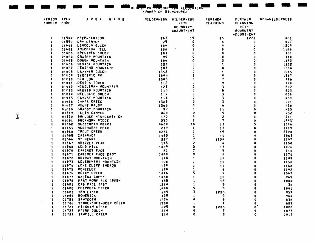
REGION AREA AREA NAME NUMBER CODE
1 1 1 1 1 1
: 1
: 1 1 I 1
:
: 1 1
: 1 1 1 1 1 1 1 1 1 1 1 1 1 1 1 1 1 1
: 1 1 1 1 1
01509 01550 01601 01602 otbo3 01600. 01605 01606 OlbO7 01608 otbo9 01610 01611 Olbl2 01613 olblu Olblf 01616 01617 01618 01619 01620 01661 01662 01663 OlbbU 01665 01666 01661 01668 01670 01671 01672 01673 Olb7U of675 01676 01677 01678 01681 01682 016B3 01680 01721 01726 01727 0172e 01729
DEEP-MADISON DRY CANVON LINCOLN GULCH ANACONDA h.:LL SPECIPEN CREEK CRATER MOUNTAIN OGDEN MOUNTATN NEVADb MOUNTAIN JERICHO MOUNTAIN LAZYHAN GULCH ELECTRIC PK BIG LOG
.DEiILB TOWER MIDDLEMAN MOUntATN HEDGES MOUNTAIN HELLGAtE GULCH CAYUSE MOUNTAIN CAnAs CREEK MOUNT BALDy GRbSSY MOUNTAIN ELLIS CANYON BULLOCK MTN.CASEV CK BUCKMORN RIDGE S'COTCHMAN PEAK9 NORThnESt PEAK TR@UT CREEK CATARACT MT HEhRV GRIZLLY PEAK GOLD HILL CA9INEt FACE . CAAINE? FACE EAST BERRAY MOUNTAIN GOVERNMENT MOUNTAIN LONE CLIFF SMEADS MCNEELEY MCMAY CREEK GALENA CREEK EAST FORK ELK CREEK CAB FACE EAST CI’IPPEWA CREEK TEN LAKES RODERICK SAwTOOtH TENDERFOOT-DEEP CREEK PILGRIM CREEK PAINE GULCH SAWMILL CREEK
NUMAER OF BIGNATURES
"TLDERNESS WILDERNEBB NITH
BOUNDAR)V ADJUstMENt
263 25
104 102 103
99 106 123 108
1352 IbOb 1385
112 I22 11s 114 118
1362 1363
99 UbU 170 230
060" 239
0231 1095
237 195
1009 81
1080 178 196 179 170
147a 1038
185 13lU loo8
205 178
1076 1500
225 214 210
!9 0 0 1 0 0 0 0 0 0 I 0 0 0 0 0 0 0 0 0 0 0
1 54
1 1
: 2 2 7 9 1 1 1
: 1 1
: 3 1 4
1
8 0
FURTHER PLANNING
33 b 0 5. El 0 3 1 a 1 0 7 9 3 5
3 3 6
11 9 2 7
13 13 19 10
122u a
13 5 4
12 10 11
6 9
10 12
5 S
1228 9 0 7
1223 7 3
FURTHER NtlN-w:LDERNEBS PLANNIYG
WITH RUUNOARV
ADJUSTHENT 1221
0 0 0 0 0 0 0 0 0 0 0 0 0 0 0 0 0 0 0 0 0 0 5 0 0 0 0 0 0 0 0 0 0 0 0 0 0 0 0 0 0 0 0 0 0'
Ubi au7
1209 118b 1181 1110 1192 1202 lOLO 1065 1267
796 798 802 803 806 039 aa1 036 b35 032 2 6 1; ‘.
1 R93-- 15 0'6. 1719 210.0~ 1 bb-3 1107 iisa 1076
110 1170 lia9 1158 1 IQ.9 1102 10447
965 1ouu
36 1001
959 9bU 636 687
10.98 1077 1017
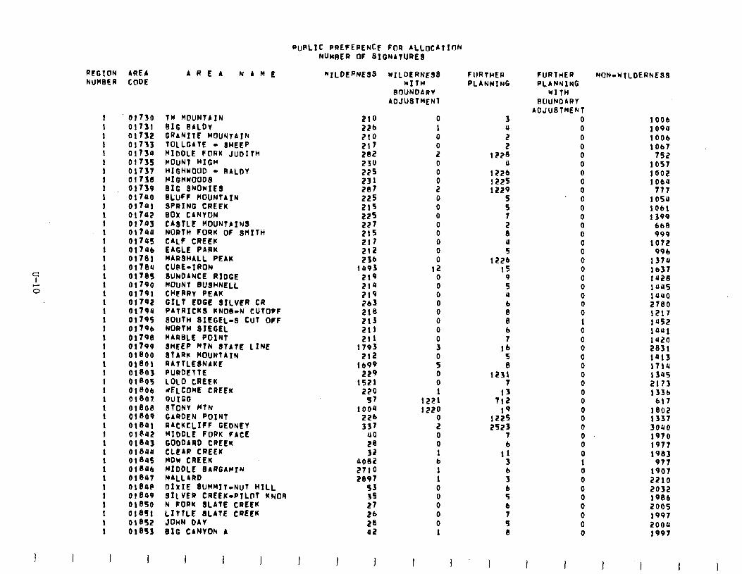
PURLIC PREFEPENCE FOR ALLOCAtION NUMBER OF BIGNAtURE
3
PCGION AREA AREA NAME NUMBER CODE
1
1 1 1 1 1 1
: 1 1 1
: 1 1 1 1 !
: 1 1 1 1 1 1 1 1 1 1 1 1 1 1 1
t 1 1 1 1
01730 01731 01732 01733 01730 01735 01737 01738 01739 01700 01741 01707
81% 01745 01706 01701 017a0 01785 01790 01791 01792 01790 01795 01796 01798 01799 01800 01001 01803 01805 01806 01807 01808 01809 01801 oieaa 01843 ol8au 018as 016Ub 01847 oleap 01849 018SO 018S1 01852 01853
TW MOUNTAIN BIG BALDV GRANITE MOUNTAIN TOLLGATE - SHEEP MIDDLE FORK JuoIth HOUNT HIGH HIGHWOUD - RALDV HIGHWOODS BIG SNOWIES BLUFF MOUNTATN SPRING CREEK BOX CANYON CA8TLE MOUNTAINS NORTH FORK OF Rnxtn CALF CREEK - - - EAGLE PARK MARSHALL PEAK CUPE-IRON BUhDANCE RIDGE MOUNT BUSHNELL CHERRY PEAK Grit EDGE 3xLvER CR PATRICK9 KNOB-N CUTOFF SOUTH SIEGEL-8 CUT OFF NORTH SIEGEL MARBLE POINT SHEEP MTN 8tAtE LINE STARK MOUNTAIN RATTLESNAKE FURDETTE LOLO CREEK dELCOME CREEK QUIGG STONV MTN GARDEN POINT RACKCLIFF GEDNEY MIODLE FORK FACE GODDARD CREEK CLEAR CREEK- MDw CREEK MIDDLE BARGAMTN MALLARD DIXIE 8UMMItrNUt HILL 911 VER CREEK-PTLOT KNOA N FORK BLATE CREEK LITTLE 8LAtE CREEK JOHN DAV BIG CANYON A
“TLDERNEBB
210 226 210
:A: 230 225 231 207 225 215
::: 215 217 212 236
1093 219 214 219 263 218 213 211 211
1793 212
lb99 229
1521
2;i 1ooa
226 is7
a0 28 32
0082 2710 2897
SJ 3s 27 26 28 42
wILDERNE33 kItH
POUNDARV ADJUSTMENT
0 1 0
9 0 0
s
8 0 0 0 0 0 0
12 0 0 0 0 0 0 0
!i
s 0 0 1
1221
lS2i 2 0 0 1 b 1 1 0 0 0 0 0 1
FlIRtHER PLANNING
3 a 2 2
1228 0
1226 1225 1229
5 5 7
fJ
f: 1226
‘6 5 8
1231 7
13 712
19 1225 2523
7 6
11 3 b 3
sb 6 7 9 8
1 1
FURTMER PLANNING
WITH RCIUhOARt
AOJUSTMENT 0 0 0 0 0 0 0
0” 0 0 0 0 0 0 0 0 0 0 0 0 0 0 1 0 0 0 0 0 0 0 0 0 0 0 0 0 0 0 1 0 0 0 0 0 0 0 0
1 I
NON-NILDERhEBS
1006 io9a 1006 lob?
752 1057 1002 1064
777 1050 1061 1399
bb8 999
1072 996
1370 lb37 1420 1uus 1auo 2780 1217 1452 taoi la20 2831 tats 1714 I 305 2173 133b
617 1802 1337 3000 1970 1977 196;
977 1907 2210 2032 1986 2005 1997 2000 1997
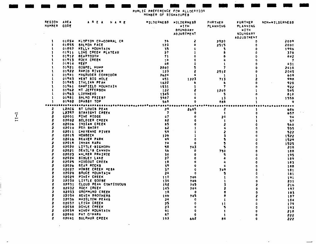
PIPLIC PREFERENCE FOR ALLtyCAtlCW NUMBER OF SIGNATUPEB
REGION AREI AREA NAME “‘ILDERNE3B wILOERNE3B FlrRTHER NUMBER CODE NITH PLANNING
BWNDARV AOJUBTMENT
OlB54 KLI’JPTON CR-CORRAL CR 76 2 2S20 2000 01855 SALMON FACE I23 4 2515 2000 01857 KELLV MOUNTAIN 35 0 5 199b 01911 LINE CREEK PLATEAU 21 1 B 378 01912 0EARTOOfH 71 0 8 UU2 01913 ROCK CREEK 18 0 4 7 Ol91U REEF 48
GOSPEL HUMP 2800 P : 431
01921 2418 01922 RAPID RIVER 123 2 2512 2045 0!941 MAGRUDER CORRIDOR ;?b24 4 1 609 01943 wE3t BIG HOLE 451 1223 713 998 01905 ITALIAN PEAK 1622 b b 928 01961 GARFIELD MOUNTAIN 1531
MT JEFFERSON 122 : 7 922
01962 1200 545 01963 LIClNHEAD 1345 1 5 818 01931 3ALMO PRIE3T 3907 u 13 1558 0!982 GRA33V TOP 5ba 0 9BB 9
**************************************************************************************************************
LZACG 3T LOUIS PEAK 29 2b85 2 I 681 LZ357 3TRAIGHT CREEK 7 0 I 0 65.7
FURTHER PLANNING
WITH SOUNOARV
ADJUSTMENT 0 0 0 0 0 0 0 0 0 1 2 0 0 1 0 1 1
2 5 2 2 2 2 2 2 : 2 2 2 2 5 2 2 2 2 3 2 5 2 5 2
NON-wTLDCRhE33
0200 1 02002 02006 02010 02011 02015 02016 O?OlR 02020 02021 02023 02020 02025 02026 02027 0202B 02029 02030 O?fJJl 02032 02033 02030 02036 02037 02033 02039 02040 02041
P‘INE RIDGE 3OLDIER CREEK INDIAN CREEK REn 3HIRl CHEYENNE RIVER NORBECK BEAVER PARK INVAN KAPA iI+lLE :BIGHORN DEvIL’3 CANVnN Cl4iKiR PiAIRiE 31BLEV LAkl? HIDEOUT CREEK BEAR ROCK3 HOROE CREEK ME3A BRUCE MOUNTAIN PINfV CREEK LITTLE GOOSE CLOUD PEAK CONTIGUOUS ROCK CREEK GROKMUND CREEK SEVEN BROTHER3 HATELTON PEAK3 LEIGH CREEK DOYLE CREEK HINDv MOUNTAIN PAT O’HIRA 3ULPHUR CREEK
47 0 82 0 35 0 b2 1 59 1
121 1 99 0 74 0 58 743 36 0 30 0 27 0 18 0 39 0 37 0 24 0
110 'Tub 134 Tab 152 7es 145 744
18 0 lob 745
24 0 25 0 23 0 91 0 B7 0
103 662
24 I 2
i 3 5 5 5
750 5 4 4 u
7u9 5 1
: 2
8 1
11 9 1 1
BU
1 1 0 0 0 0 0 0 0 0 0 0 0
i 0 a
Ii 0
B 0 0 0 0 0 0
-91 57
560 555 522
1522 1529 1525
209 188 195 189 183 1BB 181 131 191 201 216 197 183 lP7 184 179 193 218 222 222
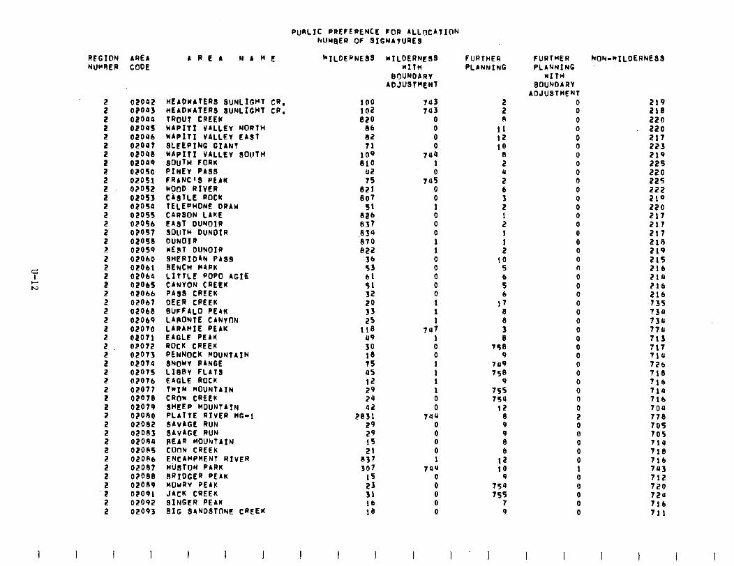
PURLIC PREFEPE.NCE FOR ALLIJCATION hUMBER OF 31GNATURE3
REGION AREA NUMRER CODE
02042 HEADWATER SUNLIGHT CR. 100 02043 HEADWAfER 3UNLIGHT CR. IO2 0204Q TROUT CREEW BLO 02oU5 WAPITI VALLEV NORTH Bb 02046 WAPITI VALLEV EAST 82 02047 3LEEPING GIANT 71 02OUB WAPITI VALLEY SOUTH 109 02049 30uT~ FORK
PItiEr PA33 810
02050 02 02051 FRANC’3 PEAK 75 02052 MOOD RIVER 821 02053 CASTLE ROCK 807 02054 TELEPHONE DRAW 51 02055 CARQON LAKE B2b 0205b EA3T DUNOIR I337 02057 SOUTH DUNOIR 034 OEOSB DUN01 R 870 02059 wE3T DUNOIR 822 02060 SHERIDAN PA33 56 OZOII BENCH WARM 53 0206U LITTLE POP0 AGIE b! 02065 CANYON CREEK 51 02obb PA33 CREEK 32 OEobt DEER CREEK 20 02ObB BUFFALO. PEAK 33 02069 LAPONTE CANVON 25 02070 LARAMIE PEAK 118 02071 EAGLE PEAR 49 02072 ROCK CREEK 30 02073 PENNOCK MOUNTAIN 1B 02074 3NOUY RANGE 75 02075 LIBBV FLAT3 05 02076 EAGLE ROCK I2 02077 TWIN MOUNTAIN 29 02078 CROW CREEK 24 02079 3HEEP MOUNTAIN 42 O?OOO PLATTE RIVER HG-! 2331 02oB2 SAVAGE RUN 29 02003 SAVAGE RUN 29 02090 REAR MOUhTAIN I5 02035 COnN CREEK 21 02ORb ENCAMPMENT RIVER e37 02087 HUSTON PARK 307 O?OBB RRIDGER PEAK 15 02089 nuwav PEAK 23 02091 JACK CREEK 31 02092 3INGER PEAM lb 02093 BIG 3ANO3TONt CREEK 18
I
AREA NAnI! “‘ILDEaNE33 WILDERNESS WITH
BtYUNOARV ADJUSTMENT
7u3 743
0 0 0 0
744 I 0
745 0 0 I 0 0 0 I 1 0 0 0 0 0 1 1 I
7u7 1 0 0 1 1 I 1 0 0
744 0 0 0 0 1
744 0 0 0 0 0
I I
FURTHER PLANNING
5 A
11 I2 to
8 2
; 6 3 2
: I 1 2
to 5 6 5 b
I7 3
i 8
758 9
749 756
9 755 754
12 8 9 9 8 6
12 to
9 75u 755
7 9
1
FURTHER PLANNING
WITH BOUNDARY
ADJUSTt4ENT 0 0 0 0 0 0 0 0 0 0 0 0 0 0 0 0 0 0 0 n 0 0 0 0 0 0 0 0 0 0 0 0 0 0 0 0 2 0 0 0 0 0 1 0 0 0 0 0
I I
NON-*ILOERNESS
219 218 220 220 217 223 219 225 220 225 222 219 220 217 217 217 216 219 215 216 214 ?!b 2lb 735 734 73rc 770 713 717 714 7Zb 718 Tlb 714 714 704 776 705 705 714 718 7lb 743 712 720 724 7lb 711
1 I
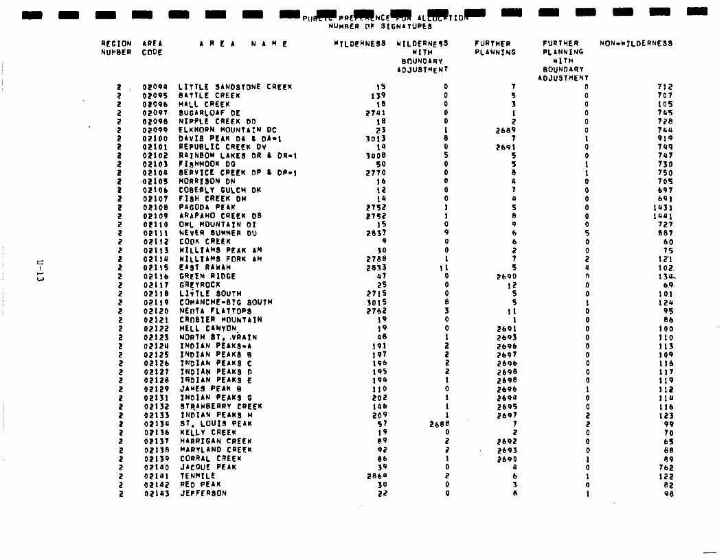
REGION AREA NUCIBER CODE
2 2
5
5 2
s
s 2
I 2 2 2
5
I
: 2
3 2
5 2 2 2 2
5 2 2
s 2 2 2
5
s 2 2
02094 LITTLE SANDSTONE CREEK 02095 BATTLE CREEK 02096 HALL CREEK 02097 3UGARLOAF DE 02090 NIPPLE CREEK bb 02099 ELKHORN MOUNTAIN DC .02100 DAVIS PEAK b4 L 04-l 02101 REPUBLIC CREEK DV 02102 RAINBON LAKE3 DR 8 OR-! 02lQ3 l13tWOOK DQ 02100 3ERVICE CREEK DP L DP-!
~02105 MORRISON DN 02106 COBEALY GULCH bK 02107 F13H CREEK DH 02108 PAGODA PEAK 02109 ARAPAWO CREEK D3 02!10 OWL MOUNTAIN Dt 021!1 NEVER 8UWnER DU 02112 COOK CREEK 02113 WILLIAM8 PEAK AH 02114 WILLIAM8 FORK AH 02115 EAST RAWIH 0211b GREEN RIDGE 02117 G’REVPOCK 02118 LIiTLE SOUTH 02119 COMANCHE-BIG SOUTH 02120 NEOtA FLATTOP 02121 CRoBItR MOUNTAIN 02122 HELL C4NYON. 02123 NORTH 81. .VRAIN 02120 INDIAN PEAKS-4 02125 INDIAN PEAK3 B 02126 INDIA.F( PEAK3 C 02127 INDIAN PEAK3 D 02128 IRDIAN PEAK3 E 02129 JAMES PE4K B 02131 INDIAN PEAK3 G 02132 3TqAwBERRY CREEK 02133 INDIAN PEAK3 H 02134 31, LOUIS PE4K 02136 KELLY CREEK 02137 HARRIGAN CREEK 02138 MARYLAND CREEK 02139 CORRAL CREEK 02140 JACQUE PEAK 0210! TENMILE 02142 RED PEAK 02143 JEFFERSON
AREA N A M E “ILOE”NE38
NUMRER CIt SIGNATURE3
I5 I39
18 2701
1B 23
3013 14
3008 50
2770 lb 12
27:: 2752
I5 2837
9
27:: 28;3
47 25
2715 3015 2762
I9 I9 48
191 197 !9b I95 I94 110 202 tub 209
57 I9 09 92 Bb 39
2860 30 22
WILDERNE53 WITH
BIYUNDARV ADJUBTMENT
0 0 0 0 0 I 8
i 0 0 0 0 0 1 1
8 0 0 1
I1 0 0
i 3 0 0 1
5
: I 0 I 1 1
2bBB 0 2 2 1 0 2 0 0
FURTHER PLANNING
7 5 3 1 2
2689
269: 5
: 4 1
z B 9 b
ii
t 2690
12 5 S
11
Zbot 2693 Lb96 2697 269b 2693 2698 2696 2690 2695 2697
7
269: 2b93 2690
4 6 3 (I-
FURTHER kON-klLDERNE39 PLANNING
WITH BOUNDARV
ADJUSTMENT 0 0 0 0 0 0
i 0 1 I 0 0 0 0 0
: 0
0 u n 0 0 1 0 0 0 0 0 0 0 0 0 I 0 0 2 2 0 0 0
i 1 0 1
712 707 105 745 728 7uo 919 7u9 747 730 750 705 697 691
1431 1441
727 087
b0 75
IZ! 102. !30*
6.0 I IO.1 124
95 BI
100 I10 113 109 116 117 119 112 I14 I16 123
99 70 b5 88
7:: 122
32 98
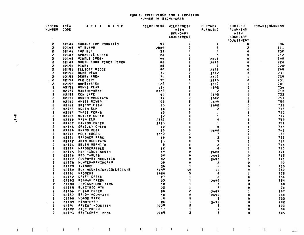
RI~RLIC PREFERENCE FOR ALLOCATION RUMER OF SIGNATURE3
WILDERNESS wILDERNE33 WITH
BCIUNOARY ADJUSTMENT
REGION AREA AREA NAME NUKBER CODE
2
5 2 2
5 2 2
5 2 2
5 2 2
5 2
02104 02145 OPl4b 02147 OElUB 02149 02150 02151 02152 02153 02154 02155 02!5b 02157 02156 02159 OZ!bO 02162 021b3 02164
2 OElbS 2 02166 2 02167 2 02lbB a @PI69 2 02170
5 02171 02172
5 02173 02174 2 02175 2 02176
5 02177 0.2170 : 02179
02lBO 2 02181 5 02!32
02lBf 2 02lBO 2 02185 2 02186 2 02187 2 OZIBB
f 02189 02191 2 02192 2 02193
SGUARE TOP WlUNTAIN MT EVANS TWn ELK SRRAOOLE CREEK MIDDLE CREEK 30uTH FORK PINEY RIVER PINEY ELLIOTT RIDGF DOME PEAK DERBv AREA RED DIRT SWEETwATER HUNN3 PEAk RAKAH--KEbT COW LAKE BURRO KOUNTATN KhITE RIVER SKINNY FI3H NORTH ELK THREE FORK3 BUTLER CREEK KATN ELK CARYON CREEK GRIZZLY CREEK GRAND KEQA HOLY CR033 GIRDNER PARK ADAK MOUNTAIN 3EvEN HERMIT3 HARDSCRABBLE RED TABLE NORTH RED TABLE3 PURPHYRV MOUNTAIN HUNTER-FRVINGPAN IVANHOE ELK nDUNTAINa-COLLEGIATE RAGGED3 DRIFT CREEK PERHAM CREEk SPRINGHOUSE PARK ELECTRIC KTN CLEAR CREEK BALDY KOUNTAIN HORSE PARK HIGHTO*ER PRIEST KOUNTAIN SALT CREEK BATTLEMENT MESA
51 2834
33 a2 9b 92 08 98 10
;: 129 124
2789 68 77 96 b5 lb I3 I2
2731 2723
80
30 3002
IO I3
8 12 I9 24 02 23
3s 2954
27 23 18 22 28 lb to 2b
2729 I1
2745
I -1
0 0 0 0 1
: 2 2 3 3 0 2
ii 2 2 2 0 0 0 0 0 0
2" 0 0 0 0 0 0 0 0 1
30 5
: I
: 0 0
: I 2
1
FURTHER PLANNING
7 3
: 2696 2695
7 2696 2b92 2b97 2bP8 2b97 2b92
2 2692 ZbOZ 2b94 ZIP2
2 I I ll 1 0
2690 7 2
5
2&k?: 2191 2690
2 b
!4 A
268: 3 7
ZbP9 2190
3 2b92
3 U 8
\ I
FURlHER PLllNNING
WITH BOUNOARY
ADJUSTMENT
P 0 0 0 0 0 0 0 1 0 I 0 I 0
: 0 0 I 0 I I I 0 4 0 1 0 0 0 0 I 0 0 a 1 0 0 0 0 I 0 0 0 0 0 0
I 1
NON-K!LDtRNE33
3b Ill 738 712 7u(l 724 72B. 7b8 731 739 751 741 736 71R 732 751 759 731 713 710 714 752 15! 73h 745 130 722 719 713 710 741 7bS 741
22 715 932 875 7bb 75u
b8 70
107 74B 722 732 I23
84 845
I I --
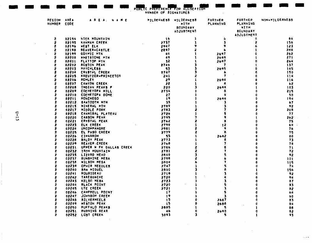
REGION AREA A R E 4. NAME NIJWBEP coot
5
5 2 2 2
5 2
: 2 2 2 2
5 2
5 2
5. 2 2
5 2
i
I 2 2 2
5 2
5 2
: 2 2 2 2
02lOU NICK MOUNTAIN 02195 KANNAH CREEK 02196 WE81 ELK 02198 BEAVER-C48TLE 02199 GOtWIt HTN 02200 WhETOfONE MTN 0?201 fL4TTDP MTN 02202 BO8TON PE4K 02203 HATCHLEBS 022oo CRVBTAL CREEK 02205 KREUTZER-PRINCETON 02206 ROWLEY 02207 CANVON CREEK 02200 INOIAN PEAKS f 02209 COCHETOPA HILL 02210 COCHETOPA DOME Oh21 1 HONCHtGO 02212 84wTOOTM MTN 02215 MINERAL HTN 02217 MIDDLE fORK 022l8 C’4NNIBAL PLATEAU 02220 CARSON PEAK 02221 CRvITAL PEAK 02223 ELK CREEK 0222u UNCO~PAHGRL 02225 EL PA80 CREEK 02226 CIMARRON 02228 BALDv PEAK 02229 BEAVER -CREEK 02231 UPPER W fK OALL48 CREEK 02232 IWIN MOUNTAIN 02235 LIZARD HEAD 02237 IUNIHINE MESA 0223E UILBON MESA 02239 OPwIR NEEDLES 02240 SAN MIGUEL 02201 ROUBIDE4U 02202 TAREQUACHE 02203 KELSO ME8A 02240 BLACK POINT 02245 UTE CREEK OP246 CAMPRELL POINT 02247 JOc(NSON CREEK 02240 SILVERHEELS 02249 WESTON PEAK 02250 RUffALO PEIK8 02251 RURNING BEAR 0?252 LOST CREEK
NUMRER Of 8IGNATURES
“‘ILDERNESS wllDERI;ESS WITH
BOUNDARY AbJU8THENl
27:: 2947 2897
44 49 32
2746 53
2747 241
29 22
220 2734
21 19 35
2789 2703 2726 2795 2762 2790 2981 2779
55 2773 27bg 2786 2701 2840 279s 2604 2747 2800 271s 2720 2723 2720 2721
17 19 15 15
2ses
¶ 1 9 2 1 1
: 3 3 2 1
: 1 1 1 1
: 1
5
: 2 1
:
x 3 2 b
:
:
:
: 1 0 0 1
f URTHER PLANNING
6 3 9
269; 2699 2697
7 2695
4 7
2b94 4
2694 8 4
2699
3 7 5 0 8
I2 0 ‘8
2692 8 7 8 7 5 6 7 5 8 3 4
z 3 5 3
2187 2688
5 2690
5
f URTHER NON-WILDERNESS PLANNING
WITH BOUNDARY
ADJUSTMENT
i 84
156 6 123 1 280 0 262 1 271 0 2bU 1 137 0 lU5 0 I50 0 114 0 116 0 b2 1 103 0 215 0 50 0 194 0 b7
: 92
208 0 77 1 262 0 75 0 b4 0 76 0 75 0 80 0 73 0 74 0 11 0 72 0 92 0 101 0 105 0 74 1 156 0 92 0 94 0 0 83 0 82 0 bl 0 60 0 83 0 80 1 88 0 82 1 93
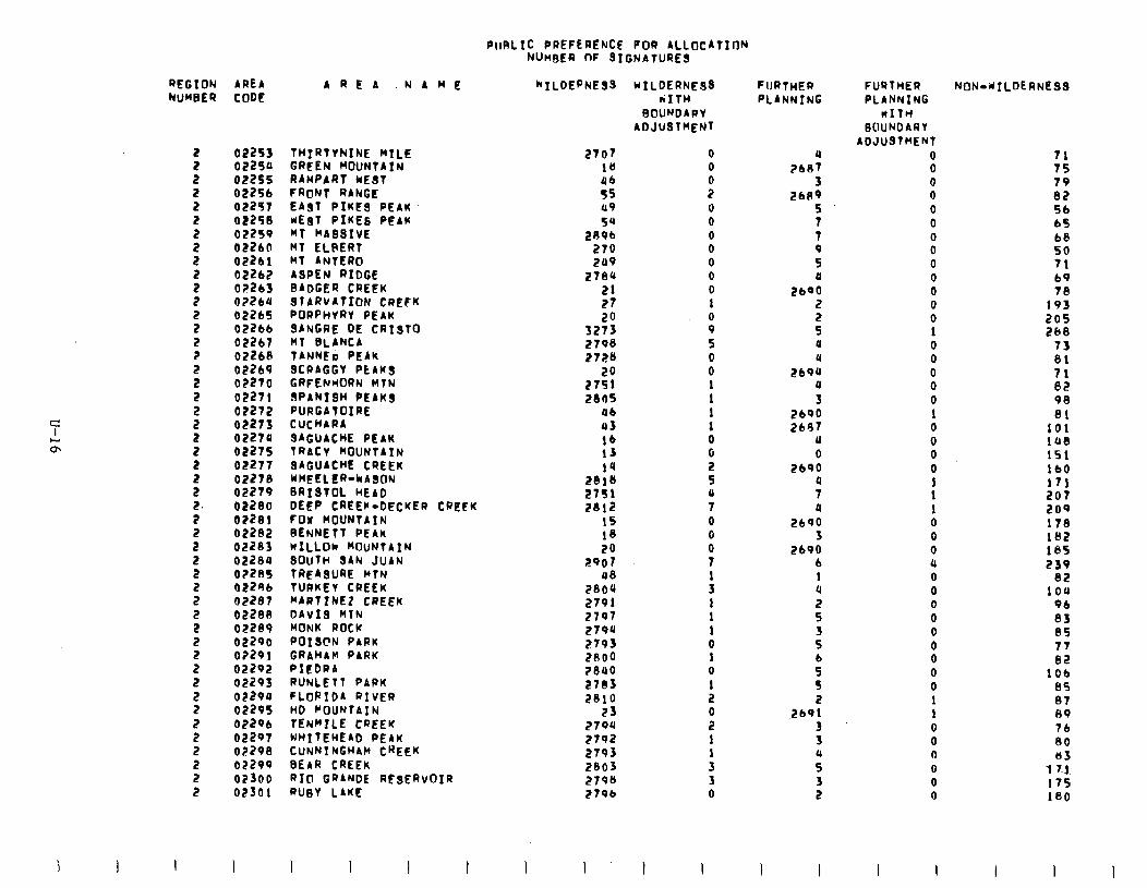
PIIRLIC PREFERENCE POR ALLOCATION NUMBER OF SIGN4tURES
REGION AREA NWSER CODE
5 2 2 2 2
5 2
I 2 2 2 2 2 2 2
s 2 2 2 2 2 2 2. 2 2 2 2 2
5 2 2
5 2 2 2 2 2 2 2 2 2 2
02253 THIRTYNINE HILL 02254 GREEN HOUNTAIN 02255 RAMPART UEST 02256 CRONT RANGE 02257 EAST PIKES PEAK 02258 UEi3T PIKES PEAK 02259 MT HASSIVE 02260 HT ELPERT 02261 MT ANTERO 02262 ASPEN RIOGE 02263 BADGER CREEK 0?2CU STARVATION CREFK 02265 PORPHVRY PEAK 02266 SANGRE DE iRISTO 02267 MT 8LANCA 02268 TANWI, PEAK 022b9 SCRAGGY PEAKS 02270 GRFENHORN MTN 02271 9PANIBH PEAKS 02272 PURGATOIRE 02273 CUCHARA 02274 SAGUACHE PEAK 02275 TRACY HOUNTAIN 02277 SAGUACHE CREEK 02278 KHEELER-CABON 02279 BRISTOL HE40 02280 DEEP CREEF-DECKER CREEK 02281 FOX MOUNTAIN 02282 BENNETT PEAK 02283 WILLOW HOuNTAIN 02284 SOUTH SAN JUAN 0?285 TREABURE MTN 0229b TURKEY CREEK 02287 ~ARTZNEZ CREEK 0228A DAVIS KTN 02289 MONK ROCK 02290 POIS@N PARK 02201 GRbHbK PARK 02202 PIEDRA 02293 RUNLETT PARK 02294 FLORID4 RIVER 02295 HO F’OUNTAIN OP2Qb TENMILE CREEK 02297 WHITEHE PEAK 02298 CUNNINGHAM CREEK 02299 BEAR CREEK 02300 RIO GR4NDE RfSERVOIR 02301 RUBY LAKE
1 I
AREA .NAHE “‘ILDEpNES.9
2707 18 46 55 119 54
28Pb 270 2u9
2784 21 27
32:; z'lob 272S
27:; 2805
46 43 lb 13 14
2818 2751 2812
15 1S 20
2907 08
2804 2791 2797 2794 2793 2noo ?8uO 2783 2810
23 279u 2792 2793 2803 2790 27Pb
wILDERNE98 rITH
B@UNDAwY ADJUSTMENT
0 0
i 0 0 0 0 0 0 0 1 0 9 5 0 0
:
:
8 2 5 U 7 0 0
i
: 1 1 1 0 1 0 1 2
ii 1
: 3 0
FuRTnER PLANNING
?A 3
2609 5 7 7 P 5 4
2600 2
: 4 4
2604 4 3
2690 2647
U 0
2690
; 4
2190 3
2690 6 1 4
s 3 5
9 5
.,,p: 3 3
3
:
I I
FURTHER PLANNING
KITH BOUNDARY
AOJUSY~ENT 0 0 0 0 0 0 0 0 0 0 0 0 0 1 0 0 0 0 0 1 0 0 0 0
: 1 0 0 0 4 0 0 0 0 0 0 0 0 0 1 1 0 0 0 0 0 0
I 1
NON-YILOSRNESS
71 75 79 e2 SC b5 b8 50 71 b9
1:: 205 268
73
;: 82 98 81
101 lU8 151 lb0 171 207 209 17s lS2 185 239
82 1OA
96 83 85 77 82
106 85 87 89 7b 80 *3
1 7.1 175 180
I I
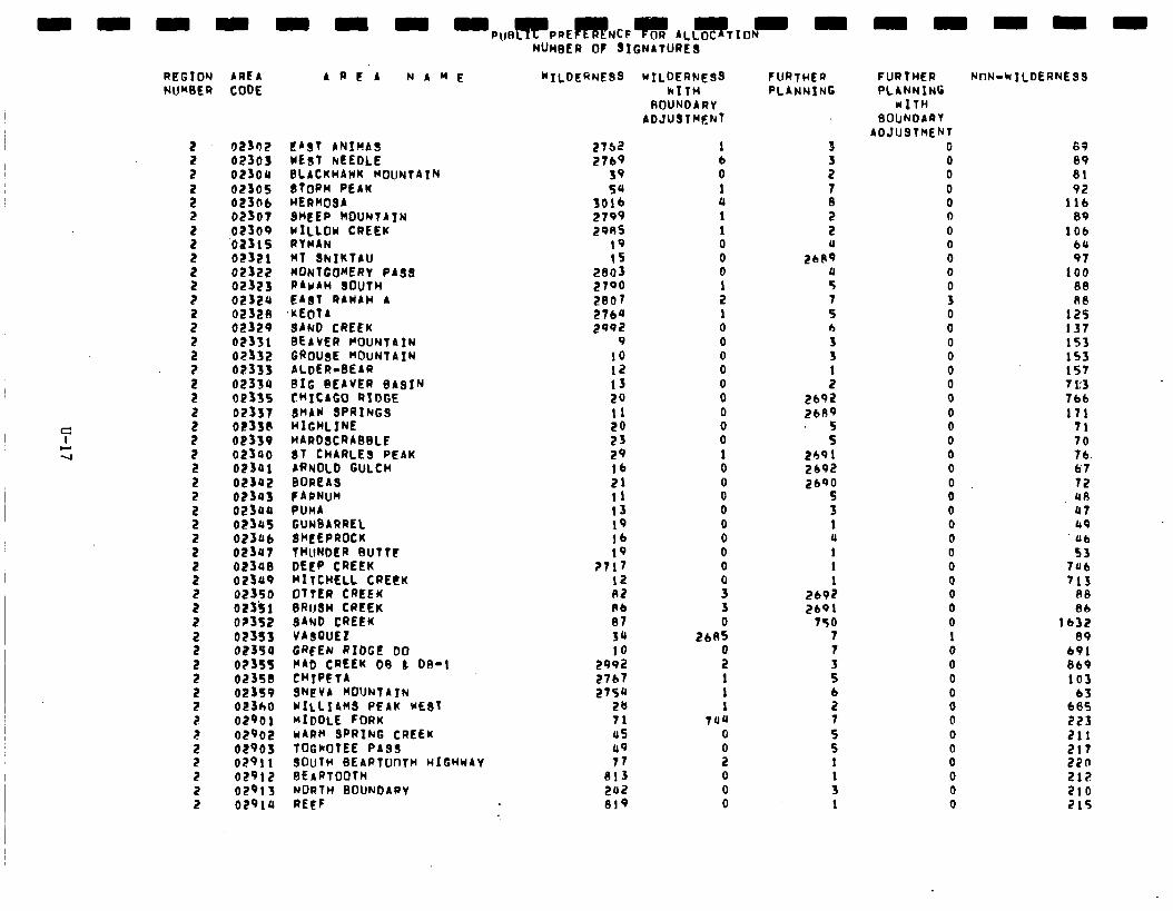
- - - - - - - -PU~I~PPEC~~NCF~ ALL~TIDN~ -
REGION ARE!4 NUMlER CODE
02302 02303 02304 02305 023Ob 02307
::::; 02321
ii:::; 02324 02328 02329 02331 02332 02333 023s4 02335 02337 0233E 02339 02340 02341 02342
::::x 02345 02fUb 02347 02340 02349 02350 02351 02352
:1:55: 02355 02358 02399 02360 02901 02902 02903 02911 02912 02913 02910
4 2) t'4 NAME
- -~ NUH9ER of SIGNITURES-
WILDERNE9S UILDERNESS kITW
ROUNDARY ADJUSTMENT
LAST ANInA WEbT hECOLE BLACKHAWK MOUNTAIN 8tOPH PEAK WERHO 8HtEi-KOUNTATN WILLOW CREEK RYiiii RT 8hIKTAU MONTGOMERY PAS8 P4cI4H 80UTH EA8T RAWAH 4
,KEOTA SAND CREEK BEAVER fOUNTbIN GROUgE KOUNTAIN ALDER-SEAR SIG @EAVER ergIN CHICIGO RIDGE 8HAW SPRINGS HIGHLINE HARDSCRABBLF 8T CHARLES PEAK ARNOLD GULCH BOReAs f4RNUH PUMA GUNSARREL BKLEPROCK THUNDER SUTTt DEcP CREEK MITCHELL CREEK OTTER CREEK BRIJBH CREEK 84ND CREEK V48QUE2 GRFEN RIDGE Do I'40 CREEK 09 b OR-1 CHIPETA QNfVA MOUNTAIN WXLLIAHS PEAK WE87 MIDDLE FORK WARM SPRING CREEK TOGKOTEE PAS9 SOUTH SEART00TH HIGHwAY SEARTOOTH NORTH BOUNDARY REEF
2762
2769 39 54
3816 2799 2985
19 15
2803 2790 2807 2164 too2
9
10 12 13 29 11 20 23 29 lb 21 I1 13 19 lb 19
?717 I2 A2 Ab 87 34
29;: 27b7
2754 28 71 us 49 77
813 zu2 81’9
1 b 0 1 4 1 1
8 0 1 2 1 0 0 0 0
8 0 0 0 1 0 0 0 0 0 0 0 0
i 3 0
2685 0 2 1 1 1
7UU
0
:
0
0
0
FURTHER PLANNING
3 3 2
5 2 2 11
2bR9 4 5 7 s 0
3 1 2
2692
2689
5 5
2691 2692 2690
5 3 1 u 1 1 1
2692
2bQl
750 7 7 3 5 6 2 7 5 5 1
: 1
89 89
81 92
116 80
lob bU
97 100
88 R8
12s 137 153 153 157 7t3
766 111
71
FURTHER NnN-hILDERNESS PLIINNING
UITH 8OUNDARY
ADJUSTMENT 0 0 0 0 0 0 0 0 0 a 0 3 0 0 0 0 0 0 0 0 0 0 0 0 0 0 0 0 0 0 0 0 0 0 0 1 0 0 0
8 0 0 0 0 0 0 0
70 76 67 72 UA 47 19 Ub 53
lab 713
An
Bb
1632 89
691
869
103 63
685
223 211 217 270 212 210 215

PtIRLTC PRFFERENCE FOR 4LLf)CATION
3 3
3 3 3
3
3 3 3 3
i 3 3 3
; 3
3 3 3
3 3 3
: 3 3
3 3 3 3 3 3 3 3
; 3
03001 03002 03003 03004 03005 OSoOb 03007 03008 03009 03010 03011 03012 03013 03014. 03015 OSOlb 03017 03018 03019 03020 03021 03022 OSo23 OSo2U 03025 0302b 03027 03028 03029 03030 03o31 OSo32 03033 03030 03035 0303b 03037 03038 03039 03040 OSOQ! Of042 03043 03040 03045 03046
“7. TAYLOR RANGER CAbIN CERRO ALESNA GUADALUPE R4DRE HOUNTAIN SCOTT HE84 GOAT SPRINGS RYAN HILL C,4N4D14N RIVER 04~1~ WITHINGTON KH1TE CAP APACHE KID SAN JOBE SAND14 RTN PROP ML0 CONT B474TZAL *LD CONTIC PINE BUUNTAIN IILD CONTIG SlJPERST1TItYN WLD CONTIC SIERRA ANCMA wLD CONTIG LIME CREEK HELL8 GATE BALdHE CHERRV CREEK BOULDER FOIJR PEAKS GOLDf IELO BLACK CROSS HOR8E HESA SALT P~CACHO LATIR PEAK CULUHBINE - HOND@ WHEELER PK WLO CONTIG CRUCES 648IN CANJILON HOUNT41N 9ULL CANYON SIERRA NEGRA PECOS WLD CONTIC AREAS CORALES CANYON JACK8 CANYON EAST CLEAR CREEK BARBERSHOP CANYON LOWER JACKS CANYON HACKBERRY WET BEAVER FOSSIL SPRING8
I I I I
698 641 b5’J 757
28 692
72 1454
b88 34
699 633
1127 626 629 141 b52 lb9 678 b52 b85 630 b47 634 b7b 629
2b 2b
6A7 644
1043 1381 1309 lo72
389 727 7Ob
1123 702
55 19 21
600
746: 683
I
0 0 0 0 0 0
t 1 0 0 0
14 0 6
576 4
574
: 1 0 0 0
ii 0 0 0 1
12 25 18
3 552
: 13 .b 0 1 0 0
i 0
I I
12 7 5 2 4 1 1 9 1
3 3 3 3 2 2
i 0 0 2 1 2 0 1 3
5
:
t 8 4 6 3 5 b 7 U 3 0 0
s 3
I I I
0 0 0 0 0 0 0
: 5 0 0 0 0 1 0 1 0 0 0 0
:
I
91 9b 97
iua 1369
653 605 598
78 1367
646 597 670 602
68 890 15S 752 798 191 874 798 8b3 059 177 lA1 171 115 839 824
2069 2102 2122
843 Su7 830 i?bl
1511 1515
133 205 123 112 133 149 135
I
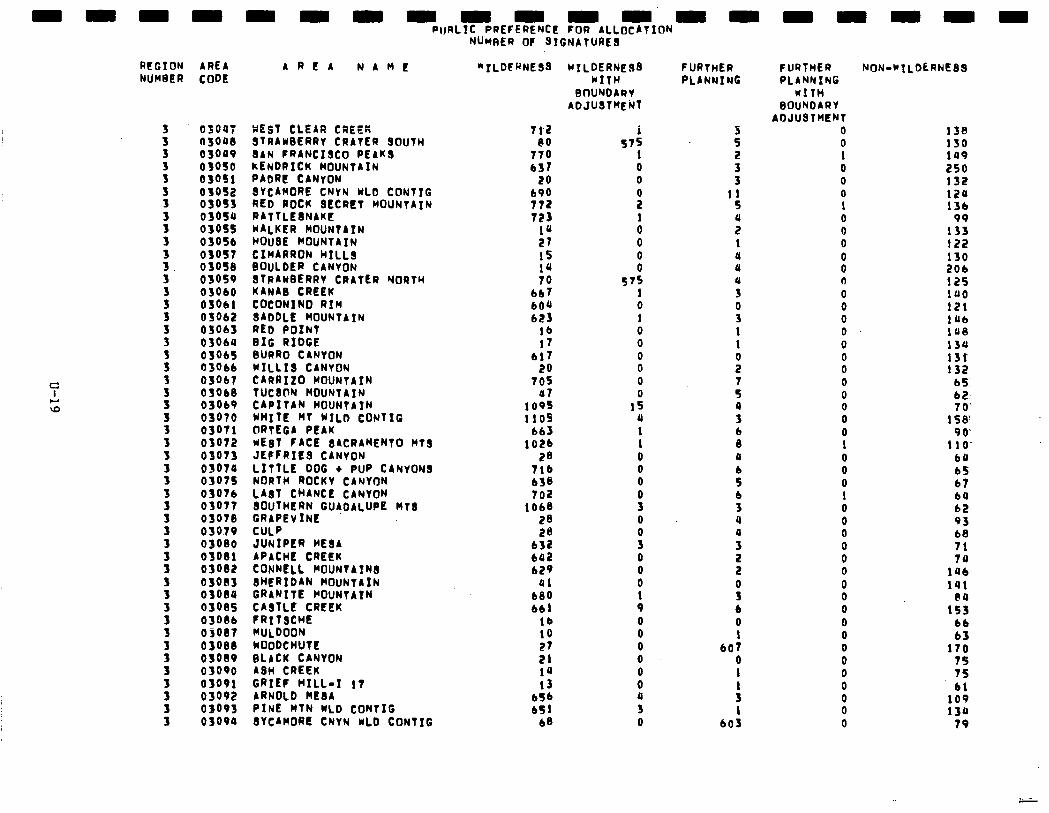
mmmmmmmmmmmmmrn PlJftLfC PREFERENCE fOR ALLOCATION
RCGION AREA ARC4 NAME NUHSER CODE
; 3
3 3 3
3 3
3. 3
3
3 3
3
3
3
i 3
i
3
i
3 3 3
3
3
3 3
3
03047 WEST CLEAR CREEK 03048 STRAWSERRV CRATER SOUTH 03099 IAN FRANCISCO PEAKS 03050 kENDRICK MOUNTAIN 03051 PADRC CANYON 03052 8ViAiORE iiYN WLO CONTIG 03053 RED ROCK SECRET MOUNTAIN 03054 RATTLEINAKE 03055 WALKER MOUNTAIN 0305b HOUBE MOUNTAIN 03051 CIWARRON HILLS 03058 SOuLOER CANYON 03059 8TRAwBfRRY CRATER YORTH 03060 KIN48 CREEK 03061 COCONINO RIM 03062 BADDLE MOUNTAIN 03063 RED POINT 0306U BIG RIDGE 03015 BURRO CANYON 03066 W.ILL18 CANYON 03067 CARRIZO ROURTAIN OSOb8 TUCION HOUNTAIN 03069 CAPITAN MOUNTAIN 03070 WHITE MT WILD CONTIG 03071 ORTEGA PEAK 03072 WEgT fACE gACRAHENT0 Htg 03073 JEPFRILS CANYON 03074 LITTLE DOG + PUP CANYON8 03075 NORTH ROCKY CANVON 03076 LAST CHANCE CANYON 03071 03078
SOUTHERN GU4DALUPC MT8 GRAPEVINE
03079 CULP 03080 JUNIPER ME84 03081 APACHE CREEK 03082 CONNLLL MOUNTAINS OSO83 BHERIDAN MOUNTAIN 03084 GRANITE I’OUNTAIN osos5 CASTLE CREEK 0308b fRIT8CHE osos7 HULDOON 03088 lOOOCHUTt 03089 BLACK CANYON 03090 ASH CREEK 03091 GRIEf HILL-I 17 03092 ARNOLD HE84 03093 PINE HTN wLD CONTIG 03094 BVCAHORL CNYN WLD CONTIG
NUMBER OF SIGNATURES
“ILDERNESS
7t2 80
770 b3T
20 bV0 772 723
14 27 15 10 10
667 604 623
lb 17
617 20
705 47
1095 1105
bb3 lo2b
28 716 638 702
1068 28 28
632 692 629
41 680 661
lb 10 27 21 14 13
b5b b51
68
WILDERNESS WITH
BOUNDARY ADJUSTMENT
i
0 1 0 0 0 0 0 0
15 U 1 1 0 0 0
9 0
s 0 0 0 1 9 0 0 0 0 0 0 4 3 0
FURTHER PLANNING
3 5
5 3
11 5
i 1 4 0 4 3
!s 1 1
ii 7 5 4 3 6 8 0
: b 3 4 4 3
3
s b 0 1
601 0 1
: 1
603
f URTHER NON-WTLDLRNESS PLANNING
WITH BOUNDARY
ADJUSTHCRT 0 138 0 130 1 0 0 0 1 0 0 0
8 0 0 0 0 0 0 0 0 0 0 0 0 0 1 0 0 0 1 0 0 0
i 0 0 0 0 0 0 0 0 0 0 0 0 0
149 250 132 124 136
99 133 122 130 204 125 140 121 14b 148 134 13r 132
bf 62 7 0%
158' 90‘
110’ b4 65 67 64 62 93 b8 71 74
1Ub 141
1:: bb b3
170
3: bl
109 134
79
. . * -
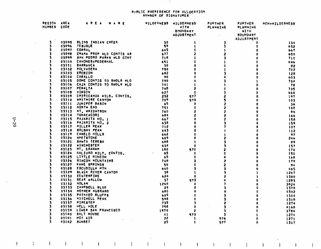
PrtRLlC PREFERENCE FOR ALLOCATION NUneEl? OF SIGNATURES
REGION AREA NUMBER COW
3 3 3 3 3 5 3 3 3 3
s
3
7 3 r4 0 :.
3
03095 0309b 03097 03098 03099 O%lOO 03101 03102 03103 03109 0310s OflOb 03107 03108 03109 03110 03111 03112
'03113 03110 03115 03llb 03117 03llS 03119 0312u 03121 03122 03123 0312a
2:: 03127 03128 03129 03130 03131 03132 03133 03139 03135 0313e 03137 03138 03139 03140 03141 03la2
AREA NAME
BLIND INDIAN CREEK TEaUOUE CORRAL CH4HA PROP WLD CONTIC AR SAN PEDRO PARUS WLD CON1 CANONESIPEDERNAL BARRINCA POLVADERA EROSION CAEALLO DOME CONTIG TO BNDLR WLb ;:;:,;fNTI" TO BNDLR WLD
VIRGIN CHIRICAHUA WILD, CONTIC. WHITMIRE CANYON JUNIPER BASIN NORTH END M'. WRIGHTOON TUMACACORX PAJAiiItA NO, 1 PAJARITA NO. 2 MILLER PEAK BRUSHY PEAK CANELO HILLS WHETBTONE SAili TtiE8A LlINCHESTER MT, GRAHAM GALIURO WILD. CONTIC. LITTLE RINCON RINCON MOUNTAINS KANE SPRINGS ESCUDILLA MTN BLACK RIVER CANYON CENTERFIRE REAR WALLOW NOLAN CAMPBELL BLUE POTHER HUSRARD PAINTED BLUFFS HI: TCHELL PEAK PIPESTEM HELL HOLE LOwER SAN FRANCISCO SALT HOUSE HOT AIR SUNSET
I 1
38 bO5 b77 718 b51
30 750 b82
90 790 7fll 740 b27 232 ,709
6s IS1 7b'J b84 667 b38 712 643 662 689 b8S 634 180 -0s
bs 748
so Lao
3J3 621
37 12h4
2a bO0 b09 598 735 750
1970 01 22 2s
I I
IIILDERNESS rr1tl-l
BOUNDARY ADJUSTHENT
1 1
z 1 0 0 0 0 0 4
: 0
s77 570
0
i 2 0 0 0 0
8 1 0
570 0 0 3
i 1 0
573
i 0 0 0 3
i 973
1 1
I I
FURTHER PLANNING
x
: 3 1 0
: a 3 1
!i
s 2 2 2
5 3 7 1
:
3 2 0
z 2 3 3 2 u 7 3 P 3
f
3 3
57b 577
FURTHER PLANNING
WITH BOUNOARY
ADJUSTMENT 0 0 0 0 0 0 0 0 0 0 1 0 0 0 0 0 0 0 0 0 0 0 0 0 0 0 0 0 0 0 0 0 0 0 1 1 0 0 0 0 0 0 0 0 0 1 0 0
NON-WILDERNESS
13a bS2 bb7 bS0 710 bU6
82 702 128 653 700
70 70s b60 197 103
36 100
8b lbb 158 159 107 112
2:x
1:; 17u 150 lb0 179
0a Ub5
12b7 1380 1283 3824 1370 0302 1304 1318 127U &lb8 3789 1274 1271 1307
I I I l-
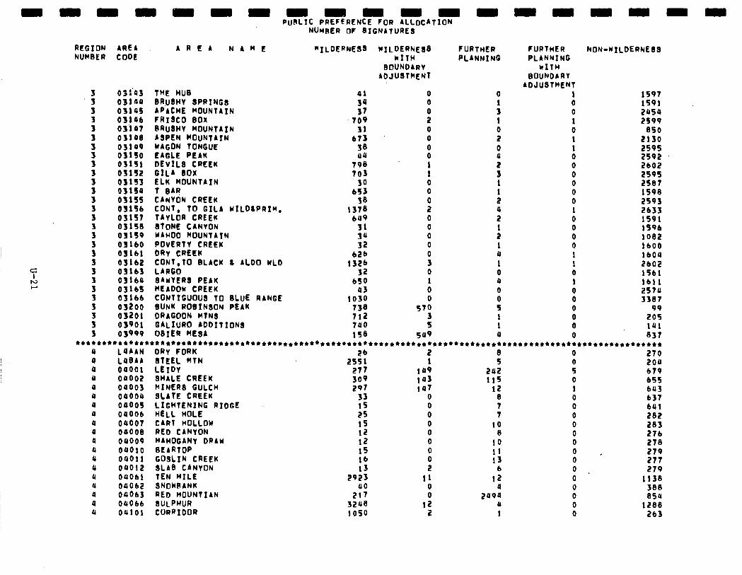
aaammaaaaaaaa PuKLIC PREFERENCE fOR ALLOCATION
REGION AREA NUWGER CODE
A R I? A N A M E FURTHER PLANNING
NON-WILDERNEIS
.i 031'43 al 0 0 1597 03144 34 0 lS91
3 03145 37 : 2454 3 03lOb 709 x 1 2599
3 031a7 31 0 0 850 03108 b73 0 2 2130
i i3t:; 38 0 0 2595 a4 0 2592
3 03151 798 2 2bO2 OflS2 703 : 3 2595
i 431s3 30 0 1 2587 03159 b53 0
: 1590
3 031ss 58 0 2S93
3 03lSb 2 2633 OflS7 '::: 0 ii 1591
3 031se 31 0 199b 03159 34 0 : 1082
i OJlbO 32 0 1 lb00 03161 626
i a lb04
3 OSlb2 132b 1 2bO2 031b3 32 0 0 lSb1
i OSlbU 650 1 a lb11 031bf a3 0 0 257a
z 03lbb 1030 0 03200 738 570 :
3387 99
5 03201 712 3 1 20s 05901 740 5 1 ial
3 05999 158 sa9 a 837 **************************************~***********************************************************************
a 14AAN DRY CORK 26 2 0 270 a LOBAA 8TEEL MTN 2551 1
t
a 00001 LEIDY 277 149 242 ii 200 b79
a 04002 SHALE CREEK la3 115 0 655 a OaOO3 MINER8 GULCH
:z 147 12 1 b43
a 04004 SLATE CREEK 33 0 8 0 b37 a 04005 LIGHTENING RIDGE 15 0 7 0 641 a 04OOb HELL HOLE 25 0 7 0 282 a 04007 CART HOLLOW 15 0 IO 0 283 a 00008 RED CANYON 12 0 8 0 276 0 04009 MAHOGANY DRAW 12 0 10 0 278 a 04Olo t3EARTOP 15 0 11 0 * 279 a 04011 GOSLIN CREEK lb a 04012 SLAB CANYON 13
i 13 0 277 b 0 279
a OUObl TEN MILE .
2923 11 12 0 1138 a 04062 SNOWRANK 40
8 a 0 388
a 04Ob3 RED HOUNTIAN 217 249a 0 854 a 0406b SULPHUR 3248 12 0 0 1288 a 04101 CORRIDOR 1050 2 1 0 2b3
THE HUG BRu8Hy GPRINGG APACHE MOUNTAIN FRI3CO 60x GRU~HY MOUNTAIN ASPEN WOUNTAYN MACON TONGUE EAGLE PEAK DEVILS CREEK GILA SOX ELK MOUNTAIN T GAR CANYON CREEK CONT. TO GILA WILGLPRIM. TAYLOR CREEK GTONE CANYON WAHOO MOUNTAIN POVERTY CREEK DRY CREEK CONT.TO BLACK L AL00 WLO LARGO SAWYERS PEAK HEADOW CPEEK CONTIGUOUS TO GLUE RANGE GUNK ROGINGON PEAK DRAGOON MTNS GALIURO AODITIONS OSIER MESA
“ILDERNE!ls WILDER&E!38 kITH
BOUNDARY ADJUGTMCNT
FURTHER PLANNING
WITH BOUNDARY
ADJUSTHENT 1 0 0 1 0 1
it 0 0 0 0 0 1 0 0 0 0 1 1 0 1
i 0 0 0 0
Nunnen fit BIGNATURE~-
aaaaa
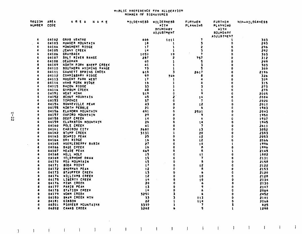
DllRLfc PREFERENCE Fnt? ALLOCATION NUMRER OF SIGNATURES
RFGION AREA NUHBER CODE
a a a a a a a a a 4 a a 0 a a a a a a a a a a a a a a a a a a a a 0 a a a a a a 0 a a a a a a a
00102 OR103 04104 00105 OQlOb 04107 0010S 09109 00110 04111 04112 04113 oalia 0411s OOllb oalfl oa1s2 oa1s3 oalsu 041ss 0415b 09157 09158 OOlS9 OOlbO 04161 04 1.62 OUlb3 oalba OUlb5 OOlbb 04167 041bS Oplb9 09170 00171 00172 60173 00174 04175 0417b 00177 04178 04179 oaleo OQlSl 09201 oa2oe
AREA NAME “ILDEbNE9S
GRf?S VENTRE HUNGER MOUNTAIN MONUMENT RIDGE JENNY CREEK GRAYBACK 3ALT RIVER RANGE DEADHAN NORTH FORK SHEFIP CREEK SOUTHERN WYOMING RANGE GANNETT SPRING CREEK CUHMIBSARY RIDGE NUGENT PARK WEST HAMS tORK RIDGE BACON RIDGE GYPSUM CREEK WEST MINK f$J~c~“UN’A’N
BONNEVILLE PEAK NORTH PEBBLE ELKHORN MOUNTAIN OXFORD MOUNTAIN DEEP CREEK CLARKSTON MOUNTAIN POLE CREEK CARIBOU CITY STUMP CREEK SCWID PEAK DRY RIOGE HUCKLEBERRY BASIN SAGE CREEK MEADE PEAK wELL HOLE TELEPHONE DRAW RED WOUNTAIN SODA POINT SHERMAN PEAK ~TAUCFER CREEK WILLIAM CRCLK LIBERTY CREEK HINK CREEK PARPB PEAK - - STATION-CREEW WORM CREEK SWAN CREEK MTN GIRSON PIONEER MOUNTAIWS CAHA~ CREEK
4Ob 18 17 1u
1050 207
40 al 73
bl8 99 17 lb 33 48
519 45 37 43 21
a91 29 1u 2b 41
2180 3131
2s lb 27 lb
a69 IS 1s 15 17 12 13 12 1u 20 13
32;: 33 22
3330 3202
wILDERwE UITH
0nUNOARY ADJUSTMENT
1011 1 1 1
10 2 1 1
: 746
1 1
:
z 0 0 0 0 0
00 0 0 1 0 0 0 0 0 0 0 0 0 0 0 0 0 0 0
P 3 1 1 b
FURTHER PLANNING
7 3 2 3 7
757 5
: 2617
El a U 3 1 9
la 7
12
*SO: .9
a 14
7 13 20 12 12 14
0 0
11 7 Ei
‘X b
10 10
b 9 6 6
113 114
7 5
FURTHER PLANMING
WlTH BOUNOARY
AO.luST~ENT 1 0 0 0 0 0 0 0 0 0 0 0 0 0 0 0 0 0 0 0 0 0 0 0 0 0 0 0 0 1 0 1 0 0 0 0 0 0 0 0 0 0 0 0 0 0 3 1
Nflk-wILDtRNES3
303 293 296 292 303 312 299 303 308
219b 326 309 31s 273 278
200s 2004 2020 2010 1983 20113 19so 1937 194s 2bll 3052 2383 2053 2Obb 199b 1996 2lUS lee2 2131 2158 2122 2153 2120 212S 2134 2130 2147 2084 2as2 2101 2Ob8
825 1298
I I I I I
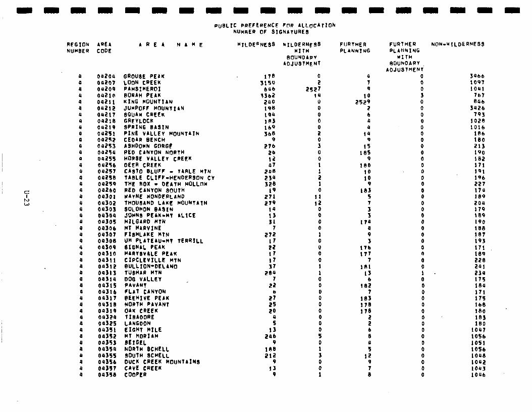
REGION NUMBER
a a a a a a a a a a a a a a U a a a a U a a a a a a a a a a a a a a a a 0 a a a a a a a a a a a
APEA CODE
oa2oa 00207 01209 00210 0421 i oa2i2 04217 042ia 04219 042si oa2s2 04253 00294 04255 04256 042st 042fe oa2s9 002bO 00301 04302 04303 oalos 04305
8% 04300 oaf09 04310 0431 i 00312 04313 003la 04315 04316 00317 04313 00319 04329 00325 oa3s1 04352 00353 00354 09355 0435b 043st
AREA NAHE
aaaaa
GROUSE PEAK LOON CREEK PAHSIHEROI BORAH PEAK KING MOUNTIAN JUMPOFf HOUNTIAN $OuAw CREEK GREYLOCK SPRING BASIN PINE VALLEY MOUNTAIN CEDAR BENCH ASHDOwN GORGC RED CANVON NORTH HORSE VALLEY CREEK DEER CREEK CAST0 BLUFF - TARLE MTN TABLE CLIFF-HENDERSON CY THE AOX - DEATH HOLLnW RED CANYON SOUTH WAYNE WONDERLAND THOUSAND LAKE MOUNTATN SOLOMON 3ASIN JOHNS PEAK-MT ALICE HILGARD WTN NT WARVINE FISKLAKE KTN UH PLATEAU-MT TERRILL SIGNAL PEAK NARYSV4,LE PEAK CIPCLEVILLE HTN SULL ION-DEL AN0 TUSHAl) WIN DOG VALLEY PAVANT FLAT CANYON PEEHIVE PEAK NORTH PAVANT OAK CREEK 1 IBADORE LANGDON EIGHT RILE MT HORIAH SEtGEL NORTH BCHELL SOUTH SCHELL DUCK CREEK MOUNTAINS CAVE CREEK
PUBLIC PREFERENCE FOR ALLOCATION NUHRER 0F SIGNATURES
"'ILOERNE$S bILDERNE9S WITH
ROUNDARY ADJUSTMENT
OUS50 COWER
170 3150
646 13b2
2ao 198 194 103 lb9 SbS
9 276
26 12 07
208 23a 323
19 271 279
14 13 $1
7 272
17 22 17 17 37
2aa 7
22
2; 25 LO
: 13
296 9
103 212
9 13
9
0 2
2527 14
0 0 0 0
:
P 0 0 1
: 1 0
11 12
0 0 0 0 1 0 0 0 0 1 1 0 0
8 0 0 0 0
i 0
: 0 0 1
aaaaaaa
FIJRTHER PLANNTNG
a 7 9
lo 2529
2 b a a
14 9
15 185
9 180
lo 10
9 133
5 7
i 17a
: 3
176 177
7 181
13 b
102 7
133 178 173
s b 8
ii 12
9 7 8
FURTHER PLANYIYG
wITH ROUNOARY
AOJUST~EN' 0 0
P 0 0 0 0 0 0 0 0 0 0 0 0 0 0 0 0 0 0 0 0 0 0 0 0 0 0 0 1 0 0
00
: 0 0 0 0 0 0 0 0 0 0
N@N-WILDERNESS
Jab6 1097 1041
767 806
3u2b 793
102$ 1016
l$b 180 213 190 192 171 191 196 227 174 188 204 179 189 190 188 187 193 171 189 223 241 234 175 134 171 175 lb$ 130 103 180
1047 1056 1051 1056 1048 1002 lOQ3 1006
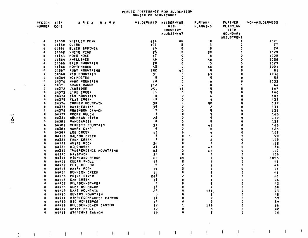
PtrBLIC PREFERENCE FOR ALLOCATION NUMBER OF 3IGNATURES
RFGION AREA NUHBER CODE
a a a a 4 a a a a a a a 4 a a a
4 a a a a a a a a a a a a a a a a u a a a a a a a a a a a a a
3 I
oa3s9 WHEFLER PEAK OS360 QUTNN 04361 SLACK SPRINGS 00362 WHI7E PINE oa363 MOKO HOKE 003ba SMELLSACK 003bS BALD MOUNTAIN 043bb COTTONKOOO on367 RUBY MOUNTAIN3 00368 RED MOUNTAIN 003b9 YfLHOITES 04370 WARD MOUNTAIN 00371 GRANT RANGE 00372 JARSiDGE oa373 LIME CREEK 00374 ELK MOUNTAIN 00375 FLAT CREEK Oa37b COPPER MOUNTAIN 04377 RATTLESNAKE 00378 ROeIN8ON CANYON oa379 ROCKY GULCH 00330 6RuNEAU RIVER 043ai MAHOGANIE3 00382 HERR177 MOUNTAIN 04303 HAPPY CAMP oa380 LOG CRG$K OU385 3ALHON CREEK OU38b FAWN CREEK ou307 wH7lE ROCU 00338 WILDHORSE 04319 TNDEPENDENCE WOUN7AINS 00390 HAYSTACK oa391 HIGHLAND RIDGE oaaol CEDAR KNOLL 04402 COAL HOLLOW oaaa3 DAIRY FORK oaaoa SENNION CREEK oaa05 PRICE RIVER 04406 OAK CREEK 04.407 ROLFSON-STAKER 08008 NUCK MOODWARD OU~O9 CA31 MOUNTAIN 04410 GENIRY MOUNTAIN oauil BIDDLECOHE-ROCK CANYON dew2 BIG HONSESHOE 00413 BOULGER-SLACK CANYON 041114 WHITE KNOLL 04415 STRAIGHT CANYON
AREA NAME MILDERNESS WILDERNE33 WITH
BOUNDARY ADJUSTMENT
214 191
13
:: 30 20 33
252 31
e 14
::: 11 lb
:I:
39
; 22
3%
13
s 26 al ‘u 2 26
lba 13
S lb 12
228 1s
b 13 2u
5 11 10 22 10 15
I I
ab 2 0 0 0
: 0
bo 0 0 0 a
16 0 0 0 0 0 0 0 0 0 0 0 0 0 0 0 0 0 0
au
s 2
9 0 0 0 0 0 0 0 1 0 0
1
FURTHER PLANNING
a
i 5@
a 56
5 bb
a b3
5
8 5 9 6
St
:
3 9
bl b b a b a
63 60
a 1
i
: 1
: a
17b
: 2
173 5 2
I I
FURTHER PLANNING
UITH 3OuNOARY
ADJUSTMENT 1 0 0 0 0 0 0 0 0 0 0 0 1 8 0
8 0 0 0 0 0 0 0 0 0 0 0 0 0 0 0 0 0 0 0 0 0 0 0 0 0 0 0 0 0 0 0
I I
NON-WILDERNESS
1071 77 74
1029 1023 1020 1029 1021
ai 1032
53 1032
1:: 140 ia 137 139 131 131 128 112 127 123 12s 102
1:; 112 13a 147 1Ob
1OSb JJl aa ai 01 61 Ub 43 39 a3 442 39 39 Sb 42 aa
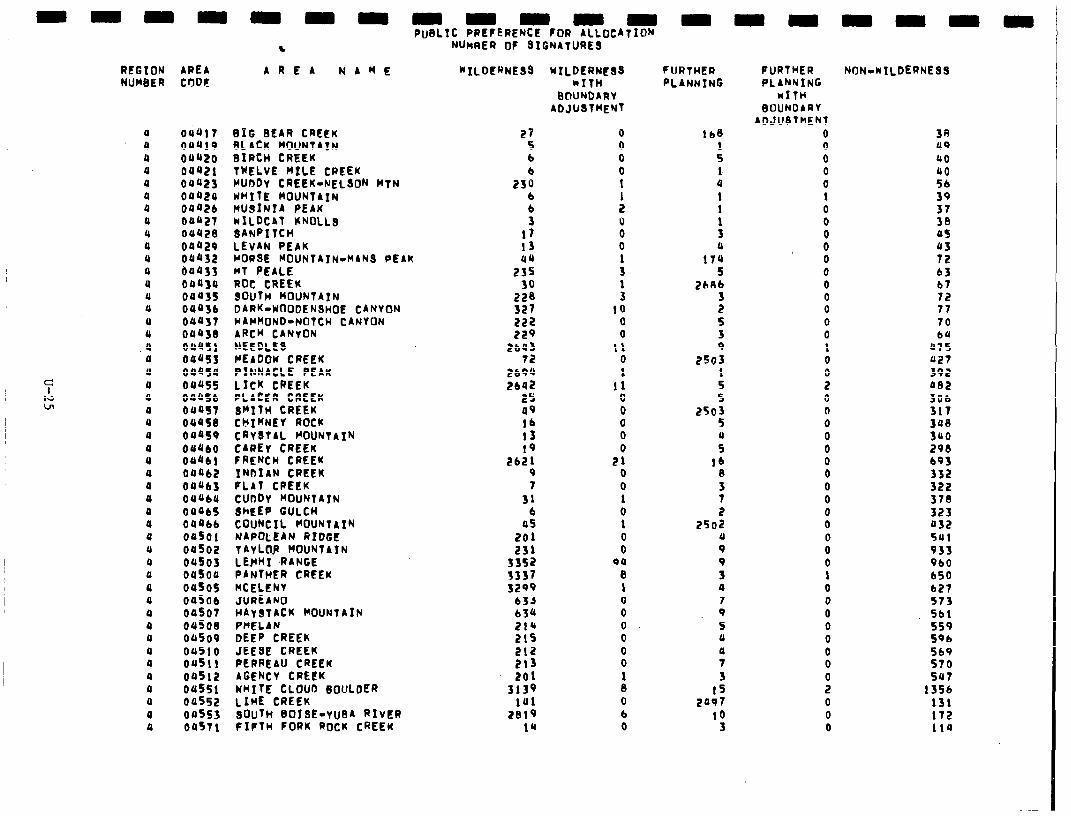
s N~HAER OF SIGNATURES
REGION AREA NUMBER CODE
A R E A NAME “‘ILDERNESa
4 OUdlT BXG BEAR CREEK 0 04419 9LACK MOUNTAIN u OOQ20 BIRCH CREEK a 04421 TWELVE MILE CREEK 0 04423 MUDDY CREEK-NELSON MTN 0 00924 WHITE MOUNTAIN 4 0442b WU9INIA PEAK 0 04427 MILDCAT KNOLLS 4 04420 IANPITCH 0 04429 LEVAN PEAK u 04432 HORSE MOUNTAIN-M4NS PEAK a 64433 MT PEALE u 04430 ROC CREEK u 04435 SOUTH MOUNTAIN Q 0443b DARK-Y~ODENSHOE CANYON 0 04431 HAMMOND-NOTCH CANYON U aa43el ARCH CANYON
.Q 04451 NEEDLES a 04@SS ClEbDOW CREEK u OOUSU PINNACLE PEAK 4 oeus5 LICK CREEK 4 0445b PLACER CREEK 4 OUtiS SMITH CREEK 4 OQQS0 CMIWNEY ROCK 4 04459 CRYSTAL MOUNTAIN 0 04460 CAREY CREEK 0 OU4bl FRENCH CREEK 4 04Ub2 INDIAN CREEK a 04UbJ FLAT CREEK 0 OUUbU cUDDY MOUNTAIN 0 04465 8hEEp GULCH 0 04Ubb COUNCIL MOUNTAIN 0 oaf01 NAPOLEAN RIDGE u 04502 TAYLnP MOUNTAIN 0 Qll503 LEHI -RANGE 0 au5ao PANTHER CREEK a ou505 MCELENY 4 04506 JUREAMO a 04507 HAYSTACK VOUNTAIN 0 04508 PHELAN 4 04509 DEEP CREEK 0 04510 JEESE CREEK 0 04511 PERREAU CREEK 4 04512 AGENCY CREEK 0 00551 MITE CLOUD 6oULDER a 04552 LIME CREEK 0 00553 sOuTn BOISE-YU~A RIVER 0 OUST1 FIFTH FORK ROCK CREEK
29 5 b b
230 b b 3
17 13 uu
255
2% 327 222 229
2b4) 12
2694 EbUi?
25 49 lb 13 19
Eb21 9 7
31 b
OS 201 23).
3352 3337 3299
633 b34 214 21s 212 213 201
3t:: 2019
14
WILDERNESS kITH
BOUNDARY ADJUSTMENT
0 0 0 0 t
: 0 0 0
:
: IO
0 0
11 0 1
11 0 0 0 0 0
El 0 0 1 0 1 0 0
011 8 1 0 0 0 0 0 0
A 0 b 0
FURTHER PLANNING
ibe
: 1 4 1
: 3 0
174 5
2hAb
f 5 3 9
2563 1 5 5
2505 5 0 5
lb 0 3 7 2
2502 0 9
; 4 7 9 5 0
51 3
15 2497
10 3
FURTHER NtlN.wILDERNESS PL 4NNING
MITH BIJIJNDARY
ADJUSTMENT 0 0 0 0 0 1 0 0 0 0 0 0 0 0 0 0 0
i
9 0 0 0 0 0 0 0 0 0 0 0 0 0 0 1 0 0 0 0 0 0 0
i 0 0 0
38 09 40 UQ 56 39 37 30 45 43 72 63 b7 72 77 70 bU
47s 427 392 482 3Ob 317 3ua 300 298 b93 332 322 378 323 432 5Ul 933 9bO b50 627 373 5bl 559 59b 569 570 su7
13Sb 131 172 114
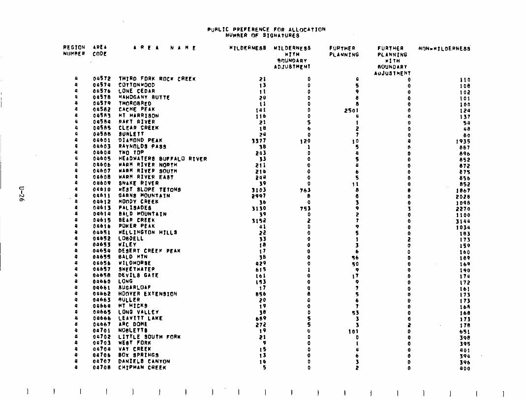
PuRLIC PREFERENCE FOR ALLOCATION NUMRER oF SIGNATURES
REGION AREA bREA NAME NlIpRER CODE
0 04572 THIRD FORK ROCK CREEK 4 04574 COTTONKOOD 0 04576 LONE CEDAR u 0457e hAh0GANY 0lJTTE
T~OROBRED CACHE PEAK
&I 04579 a 04582 a 045R3 a oa5eo 4 00585 0 Oo5lJB 0 OabOl a oQbo3 U OabO4 0 oabo5 U 04bOb 0 04bOt Q oabo8 0 oUbo9 4 OQblo 4 oabll a 04612 4 Dab1 3 a 0461 u 4 OOblf 0 04b16 a OUb51 a OQbS2 4 dabs3 a oubfa a oob55 4 04656 4 OabS7 4 OUbS8 4 04660 a oub61 a OObb2 4 OObb3 a oubba a Oabb5 0 04bb6 4 04bb7 a 04701 a oat02 0 0470J 4 04704 a OO7Ob 4 04707 a 04708
MT HARRISON RAFT RIVER CLEAR CREEK BURLETT DIAhOND PEAK :;;“N.;” PAS3
HEADWAfER BUFFALO RIVER WARM RIVER NORTH KARh RIVER SOUTH WARM RIVER EAST SNAKE RIVER UEST 8LOPE TtTONS GARNb pOUNTAIN MOODY CREEK PALISADE8 BALD MOUNTAIN DEAR CREEK POKER PEAK WELLINGTON HILLS LOlDELL WILEY DESERT CREEW PEAK BALD WIN KILOhORSE SKEETKATEP DEVILS GATE LONG 3UGARLOAF HODVER EXTENSION AULLER MT HICKS LONG VALLEY LEAVITT LAKE ARC DOME NOBLEfT LITTLE SOUTH FORK nEaT FORK VAi CREEK BOX SPRINGS DANIEL8 CANYON ChIPhAN CREEK
“‘ILDERNESB
21 13 11 20 I1
141 ltb
21 16
335; 38
243 33
211 2lb 244
39 3103 2997
36 3130
39
Y 22
:Bs 17 38
a29 bl5 lb1 lS3
17 Bfb
24 19 38
609 272
19 21
9 15 13 lb
5
I
KILDERNESS kITH
RBUNDARY ADJUSThEN
0 0 0 0 0 0
i b 0
120 1 0 0 0 0 0 0
763 0 0
7S3
i 0 0 0 0 0 0 0 I 0 0
I 1
FURTHER PLANNING
0 5 9
t 2501
0
: 7
10 5
ii 0
0 11
8
f 9 2 7
z
: b
56 SO
9 I7
9 7 5 b 7
93 3 3
101 0 1 (I 6 3 2
1
FURTYER PLANNING
KITH IWJNDARY
AUJUSThENT 0 0
: 0 0 0 0 0 0 0 0 0 a 0 0 0 0 8 0 0 3 0 0 0
li 0 0 0 0 0 0 0 0 0 0 0 0
: 0 0 0
8 0 0
1 i
110 108 102 101 100 124 137
54 48 80
1935 867 896 852 87,2 075 851 852
1867 2028 1098 2270 1100 3104 1034
163 173 159 lb0 189 lb9 190 17u 172 lb1 173 173 168 168 173 178 bS1 398 395 a01 J9U 396 400
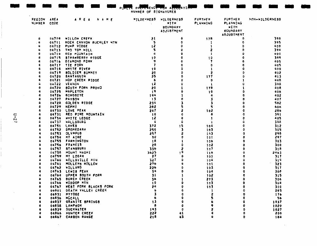
REGION AREA NUMBER CODE
4 047n9 wILb@w CREFK .U 00711 ROCK CANYON buCKLEV YTN
(1 04712 PUMP RIDGE 4 04713 TM TOM .wILL (1 oulia RED MOUNTAIN (1 00715 STRAWBERRY RTDGE 0 0471 b DIAMOND F@RI( 4 04717 TIE FORK 4 oalie UHTTE RIVER 0 OUT19 SOLDIER (IIJMMIT 4 Ou720 BANTAGUIN 0 04721 HOP CREEK RIDGE 4 09722 VERNON a OuTPU 8OuTH FORK PROVO U OUT25 MAPLETON 4 0472b RIRD8EYE 4 04727 PAYSON 4 OU728 GOLDEN RIDGE a 04729 NEPHI 4 04730 LONE PEAK
c 4 04731 RED PINE MOUNTAIN
tJ a 0073u WI TE LEDGE 4 4 OU737 WALLSWRG
4 04751 LAKES U 04752 DROMEDARY 4 00753 OLY HPUS a OOTSU MT AIRE a 0475s FARMINGTON 4 04756 FRANCIS 0 09757 ST AN8WRY 4 00758 MOUNT NAOMI a 04759 MT LOGAN U 04760 ~ELLSVILLE HTN u OUT61 MOLLENs HOLLOw a 04762 MILLARD a 047b3 LEWIS PEAK 0 047b4 UPPER SOUTH FORK u 047b5 BURCH CREEK 4 00766 WIDDOP HTN 0 04767 KEST FORK 8LACKS FORK a OUBOl DEATH VALLEY CREEK 4 oaB3i CCY TOGE a OQ83b MCCALL 4 OU837 QRAhITE 8PRINGS 0 04838 LAMPSON a 04839 DUCKWATER a 048bb HUNTER CREEK a 04867 CARBON RANGE
AREA N A ME
NUMRER OF 8TGNATURES
“ILDEWESS wIlDERW9S WITH
BOUNDARY ADJUSTMENT
21 5
12 s 11
10 9 7
10
;i 6
12 20 19
194 13
234 202 207
10 12
4 372 250 257
JO 18 28
336 3b25
27 327 276 22b
:; 36 10 24
6 3 6
13 8
193 222 218
0 0 0 0 0 0 0 0 0 0 0 0 0 1 0 1 0
3 2 0 0 0
15
5 0 I
i !9
0 0 U
0
0
1 1 0 0 0
00 0 0 0
41 43
FURTFFR PLANNING
178 I
: 1
IO 7 0
: 177
0 1
178 lo
0
3
5
102 6 1 1
104 103 I03 101 lob 102 107 116 101 IO” 101 103 104 102 273 103 la3
: 5 b 9 2 4 4
FUPTHER CDN-hILDERNES9 PLANNING
WITH 0OUNDARY
ADJUSTMENT 0 0 0 0 0 0 0 0 0 0 0 1 0 1 0 0 0 0 0 0 a 0 0 0 0 0 0 0 0 0 0 0 0 0 0 0 0
8 0 0
8 0 0 0
390
395
400
39u
uoo
399 405 405 uoo 402 413 uue 398 408 406 402 407 582 606 286 391 005 398 312 305 298 297 io3 300 318
2463 317 319 323 317 3OP 315 306 304 310 285 17b
105’; 1020 1027
200 104
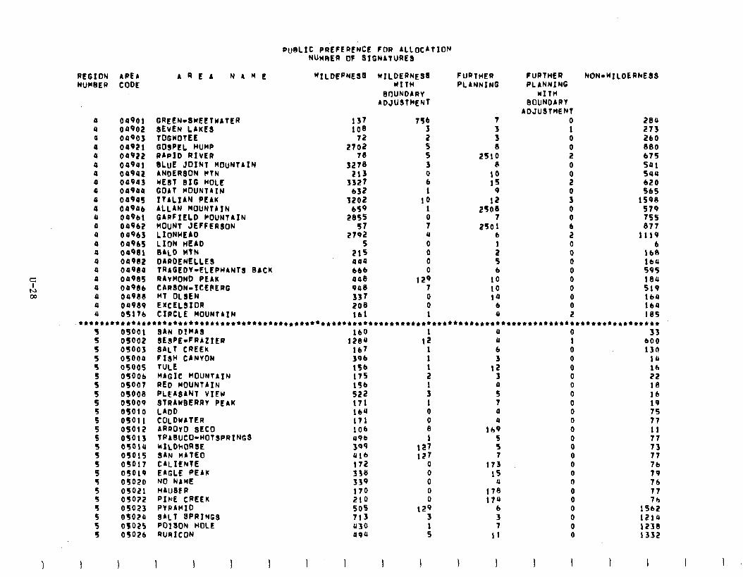
PUALIC PREFERENCE FOR ALLOCATION NWRER 0F SIGNATURES
“ILDERNE93 UILDERNES3 FURTHER WITH PLANNING
BrlUhDbRY ADJUSTMENT
REGION APE4 NUMBER CODE
b R E A N A Y E
4 04901 GREEN-SWEETWbTER 0 00902 SEVEN LAKES a 00903 TOGWOTEE a 04921 GOSPEL HUMP 4 04922 RAPID RIVER a 049ul BLUE JOINT MOUNTAIN 4 ou9uz ANDERSON KTN 4 00943 wEaT BIG HOLE 4 049aa GObT MOUNTAIN 4 04905 ITALIAN PEIK 0 009Qb ALL AN MOUNTA IN 0 049bl GARFIELD COUNTAIN a 049b2 MOUNT JEFFERJON 0 00963 LIoNHEAD U 049b5 LION HEAD U 00931 0ALD HTN a 04982 DARDENELLES 4 04980 TRAGEDY-ELEPHANTS BACK 0 00985 RAYMOND PEAK 4 0098b CARSON-ICEPERG 4 04988 MT OLSEN 4 04989 EXCELSIOR 11 OslTb CIRCLE hOUNTAIN
72 2702
73 3278
213 3327
b32
‘Ifi 2855
s7 2792
5 215 044 6bb 448 948 337 208 lb1
7Sb 3
z 5 3 0 b 1
10 1
i U
0 0 0 0
129 7 0 0 1
7
i 8
2SlO 8
10 15
9
12 2508
7 2so 1
b 1
5 6
10 10 la
b 0
FURTHER PLANNING
MITH BOUNDIRY
ADJUSThENT 0 1 0
: 0
8
0 0 0 b 2 0 0 0 0 0 0 0 0 2
NON-KILDERhESS
284 273 ZbO 880 b75 541 544 620 515
1598 579 755 377
1119 b
IbB 169 595 184 519 lb4
164 185
s 5
09001 SAN DIMAS lb0 OS002 SESPE-FRAZIER 1204 osoos 3ALT CREEK lb7 05004 FISH CANYON 396 05005 TULE 156 OSOOb MbGIC hOUNTAIN 175 osoo7 RED MOUNTAIN 196 OS008 PLEbSANT VIEu 522 09009 STRAWBERRY PEAK 171 05010 LADD 164 OS01 I COLDwATER 171 OS012 bRROY0 SEC0 lob OS013 TRABUCO-HOTSPRINGS (198 05o14 hILDhDR3E 399 05015 SAN HATEO 416 05017 CALIENTE I72 05019 EAGLE PEAK 336 05020 NO NbME 339 05021 HAUSE R 179 050?2 PIPIE CREEK 219 05023 PVPA~ID 505 0502o SALT 8PRINGS 713 08025 POISON HOLE 430 OS026 RURICON 494
1 12
1 1
:
: 1 0 0 8 1
127 127
0
i 0 0
129 3
:
a 0 6 3
12 3
0 7 0
lb:
33 bO0 13tl
14 lb 22 18 16
:: 77 11 77 73 77 7b 79 76 77 76
1562 12lU 1238 1332
5 5 5 S
5' 5
z S S 5
: S 5 5 5
5 5 S
I I 1 I
s 5 7
173 15
a 178 17u
b 3 7
11
I I
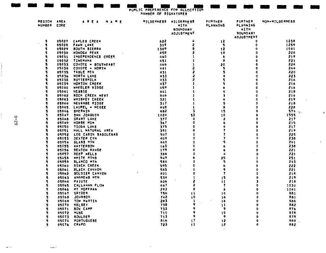
REGION AREA AREA NAME NUMBER CODE
a$027 CAPLES CREEK OS020 FAWN LAKE OS029 BOUTH SIERRA 05030 WONOGA PEAK OS031 INDEPENDENCE CREEK OS032 TlNEMAHb OS033 COYOTE - SOUTwFA3T oso3u COYOTE - NORTH 05035 TABLE pTN 0503b NORTH LAKE OS038 BUTTERRILK OS039 HOPTON CREEK of040 WHEELER RIDGE osoai WSSIE 05042 ROCK CREEK WFST as043 WHISKEY CREEK oso44 NEVAHBE RIDGE OSOU5. LAUREL - MCGEE 05oab SHERWIN 05out SAN JOA’WIN osoa8 GRANT LAKE 05049 HORSE HOW 05050 TIUGA LAKE 05051 HbLL NATURAL AREA 05052 LOG CABIN SADDLEBAG OSOSf DEXTER CYN 05058 GLASS KTN 05oss WbTTERSON OSOSb SENTON RANGE 050s7 DEEP WELLS 05958 WHITE MTNS OS059 SLaNCO MTN OSObO BIRCH CREEK 05011 BL~CK~CANYON OSOb2 SOLDIER CANYON Of013 ANnREWS KTN OSOh4 PbIUTE OSOb5 CALLAHbN FLOW 05ob6 MT HOFFMAN 05067 GPIDER 05Ob8 JOHNSON 05Qb9 TOp MARTIN 05070 KELSEY 05071 BOX CbHP 05072 MUSE 05073 BOULDER 05074 PORTUGUESE 0507b CRAP0
NUnSER OF 8IGNATURES
“ILDERpES3 KILDERNESS WITH
BOUNDARY ADJUSTpFYT
1309 US8 ULQ 451 Ubb ual 431 933 u33 437 us9 out UUb 321 317 048 ue2
102u 377 3b7 375 391 507 409 440 lb5 179 38b 9u9 584 595 585 401 53u 6Ob 447 293 756 7u2 283 738 733 710 713 8Ib 723
:
i
: 2
i 1 1 1
t I
: 33
0 0 0 0 0 0 1 0 0 0 b 0 0 0 0 1 2 2 0
ll iQ
1 9 9 9 0
17 11
FURTHER PLANkING
12 14
6 8
20 5 5
5" 5 6
,u 3 b 5 8
15 10
2 b 0 7 7 7 5 b 6 a
25 5 6 9 7
15 11
7 b
10 lb lb 11
9 10
9 12 12
FURTHER PLANNING
WITH ROUNDARV
ADJU3THENT 0 0 0 0 0 0 0 0 0 0 0 0 0 0 0 0 0 0 0 b
8 0 0 0 0 0 0 0 0 1 0 0 0 0 0 3 0 0 0 0 0 0 0 0 0 0 n
NON-WTLDERNESS
1238 1259 1041
220 219 221 224 2ua 220
$! 2lb 216 218 2lb 219 218 228 510 ‘.>;
1555 217 215 217 219 225 238 291 239 221 221 251 243 222 221 2lR 219 218
1030 lOUI
881 881 88b 882 87b 878 879 8E.O ea2
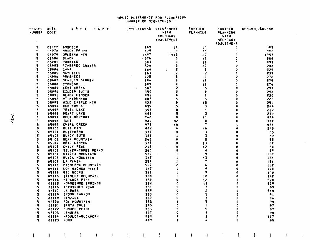
PIJPLTC PREFCRENCE FOR ALLtxATI@N NUWRER OF 3ICNAtURE3
3 I
AREA CODE
05017 SMIOZER 05078 SHACKLEFORD OS079 ORLEA’JS HlN 05000 BLACK 05081 RUBSIAN osoes TIMBI?AED CRATER OSORU LAVA 05085 MAvFIELD 05086 PRnSPECl osont DEVIL’S GARDEN 05088 CVPRiS3 OS089 LOST CREEK OS090 CINDER BUTTE OS091 BLACK CINDER OS092 MT HARKNESB OS093 WILD CATTLE HTN OS099 CUB CREEK 0509s TRAIL LAKE OS096 HEART LAKE OS097 POLK SPRING3 05098 ISHI 05099 CHIPI?! CREEK 0s100 BUTT MTN OS101 EIClTTCHER3 OS102 BLACK BUTE OS103 BEAR HOUNTAIN OS104 BEAR CANVON OSlOS CHALK PEAK 05106 SILVER-THREE PEAKS 05107 GARCIA MOUNTAIN OS108 3LACK MOUNTAIN OS109 LA PANLA OSllO KACHEINA MOUNTAIN OS1 11 LO3 MACH03 HILL3 09112 RIG ROCK3 OS113 STANLEY KOUNTAIR OS114 MIRANDA PINE OS115 HORSESHOE SPRYNGS OS116 TEPUSQUET PEAK 09117 LA BREA os11e 3PDOR CANYON 05119 MANZANA 05120 FOX HOUNTATN 05121 3ANTA CRuz 05122 CONDOR POINT OS123 CArUESA OS124 MADULCE-BUCKHORN OS125 MONO
AREA NAME
769 129
lb97 27b 503 526 160 lb3 u25 sib 389 3P7 350 a51 007 a23 4439 398 Ul2 768 904 972 uu2 371 386 263 377 2oe 260 SO& 367
::: 3b7 361 368 390 352 351 539 3S3 367 382 3RS 353 3rr7 ii69 989
KlLDERNF3S WITH
3nUNDARv ADJU3T”ENT
tl 9
lS73 0
s 2
: 5 4 2 2
5: 5 5 6 S 8
52 lb
6 0 1 0 0 0 0 1 1
: 1 1 1 0 0 0 0 0 0 1 0 0 0 7 1
1 I
FURTHER PLANYING
10 13 20 lb 11 20
3 2 (I
12 11
5 6
: 12
3
: 11
0 7
lb 3 3 2
13 12
u 9
13 7 6 9 9
12 12 0
i S
: 4 5
l (1
I I
FURTHER PLANNING
WITH ROUKDARV
ADJUSTMENT 0 0 2 0 0 0 0 0 0 0 0 0 0 0 0 0 0 0 0 0 0 1 0 0 0 0 0 0
8 0 0 0 0 0 0 0 0 0
i 0 0 0 0 0 0 0
I I
603 A80
1953 888 893 206 225 239 276 275 276 297 296 230 22R 254 2n9 229 259 276 327 621 24s
85 89 83 PI aa 89
157 151 151 152 1uo 140 142 520 519
89 514
91 86 90 07 87 90
117 85
i 1
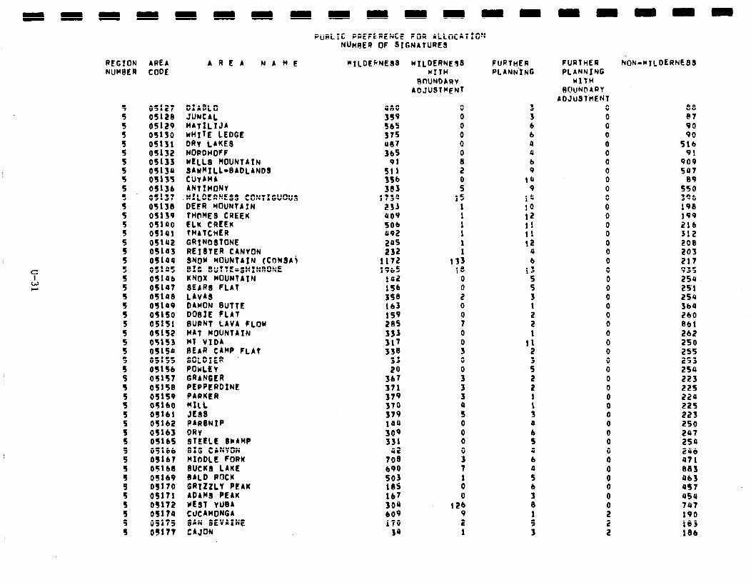
REGION AREA NUH8ER CODE
AREA NAHE *ILDEFNESS
05127 DIABLO 0512B JUNCAL 05129 HATILIJA 05130 kHIYE LEDGE 05111 DRY LAKE8 05132 NORDHOFF 05133 WELLS MOUNTAIN 05134 SAWMILL-BADLANDS 05135 CUYAMA 05136 ANTIMONY OS137 WILDERNESS CONTIGUOUS 05130 DEFR MOUNTA IN 05159 tHtME3 CREEK 05140 ELK CREEK 05141 THATCHER 05142 GRIND3fONE OS143 REISTER CANVON 05144 SNOY MOUNTAIN (COWSA\ 051u5 BIG BUTTE-SHINRONE 0514b KNOX MOUNTAIN 05147 l3EA.RS FLAT 05108 LAYAS 05109 DAMON BUTTE 05150 DDBfE FLAT 05151 BURNT LAVA FLOW 05152 HAT MOUNTAIN 05153 Mf WIDA 051so REAR CiWP FLAT 05f55 SOLDIER OS156 POwLEy 05157 GRANGER 05158 PEPPERDINE 05159 PARKER 05160 HILL 05161 JE88 05162 PARBNIP 05163 DRY 05165 STEELE SNAMP 05166 BIG CANYON OSlb7 MIDDLE FORK 05168 BUCKS LAKE 05169 BALD ROCK 05170 GRIZZLY PEAK OS171 ADAMS PEAK 05172 vE3T YUBA OS174 CUCAMONGA 05175 UN 8EVAINE OS117 CAJON
PUBLIC PREFLRENCC FOR ALLnCAT!ON NUneER OF SIGNATURES
OR0 359 565 375 007 365
91 511 356 383
1734 233 409 506 092 2115 232
1172 1965
102 156
2 159 205
::: 338
33 20
367 J71
::: 379 144 309 331
42 708 690
:is lb7 304 609 170
34
wILDERNEd WITH
BOUNDARv ADJUSTMENT
0 0 0 0 0
: 2
i 15
1 1
: 1 1
133 18
0
: 0 0 7 0
B 0
!i
3
i 0 0 0
P 7
ii 0
126 9 2 1
FURTHER PLANN’ING
3 6 6 P 11 b 9
1u 9
14 10 12 11 11 12
4 6
13
5 3 1
5 1
11 2 3 5
5 1
: 0 6 5 4 6
::
9 8
: 3
FURTHER PLANNING
WITH BUUNbARY
ADJUSTHEN 0 0 0 0 0 0 0 0 0 0 0 0 0 0 0 0 0 0 0 0 0 0 0 0 0 0 0 0 0 0 0 0 0 0 0 0 0 0
: 0
8 0
ii 2 2
hON-NILDERNE33
I38 e7 90 90
5lb 91
909 507
5:; 396 198 199 216 312 200 203 217 935 250 25'1 254 364 260 861 262 250 255 253 LSU 223 225 224 22s 223 250 247 254 296 471 083 463 as7 454 747 190 103 18b
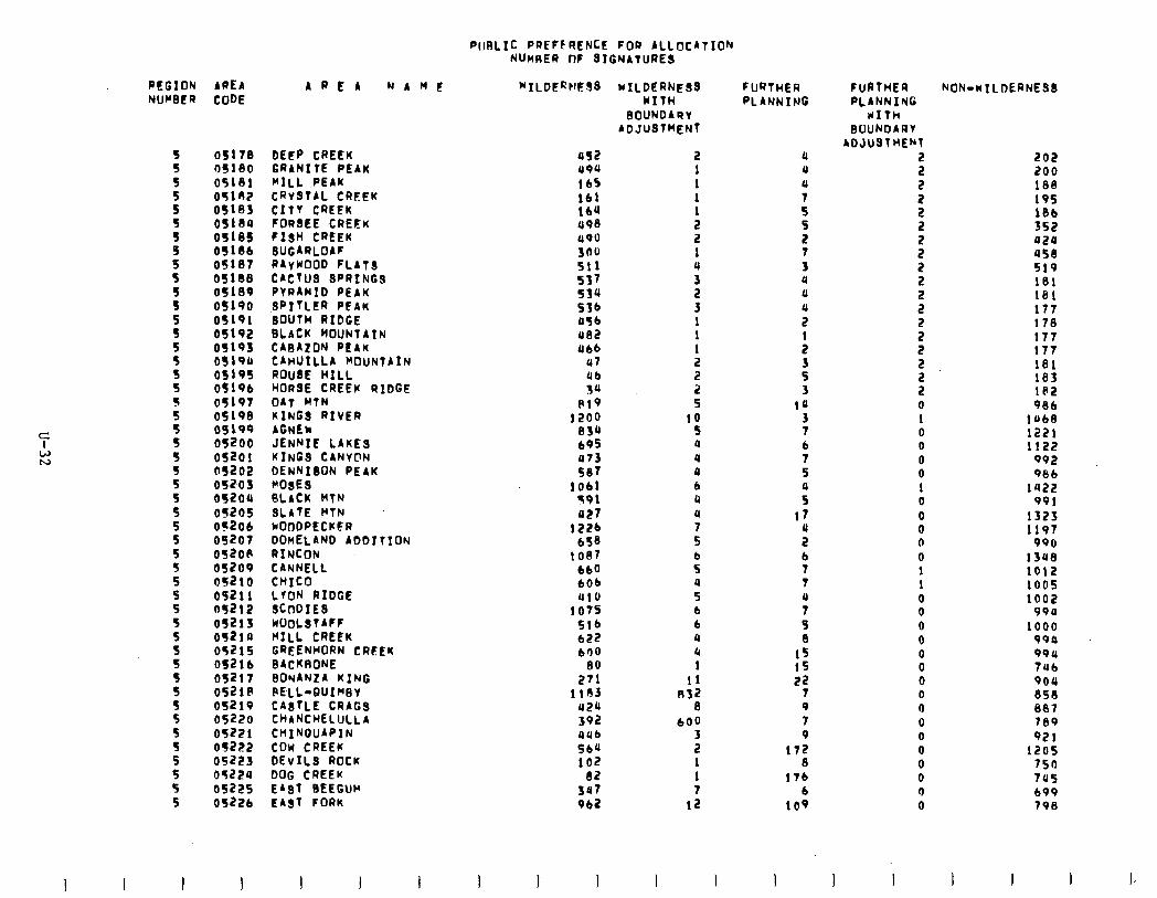
PIIRLIC PREPIRENCE FOR ALLOCATION NUnnER no STGNATURE~
REGION AREA NUMBER CODE
3 I
5 5 5 5 5
i 5 5 5 5 5 5 5 5
:
i
: 5 5
5 5 5
I
05173 05180 05181 OSlO? 05163 os1eu 05185 OSilb 05187 0510l3 05189 OS190 05191 05192 OS193 OS190 05195 05196 05197 05198 05199 05200 05201 OS202 052~03 052OU 05205 OS206 05207 052oII 05209 05Z10 05211 a521t 05213 oq210 OS215 OS216 05217 05218 05219 05220 05221 05222 05223 05224 05225 0522b
I
AREA NAME
DEEP CREEK GRANITE PEAK MILL PEAK CRv3TAL CREEK CITY CREEK FORBEE CREEK FISH CREEK SUGARLOAF R4YwOOD FLATS CACTUS SPRING3 PYRAMID PEAK JPITLER PEAK SOUTH RIDGE BLACK MOUNTAIN CAFJA~ON PEAK CAnUILLA MOUNTAIN ROUSE HILL HORSE CREEK RIDGE OAT WfN KINGS RIVER AGNEh JENNIE LAKE3 KINGS CANY@N IM;““” PEAK
FLACK WTN SLATE HTN NOODPECKFR DOnELAND ADDITION RINCON CANNELL cnxco LYON RIDGE SCODIES WUOLSTAFF MILL CREEK GREENHORN CREEK BACKRONE 0ONANtA KING FELL-QUIM3v CA8TLE CRAG3 CHANCHELULLA CMINDUAPIN COW CREEK DEVILS ROCK DOG CREEK EAST BEEGW EAST FORK
I I
452 494 165 161 164 498 490 300 511 537 534 536 056 082 Ubb
47 Ub 14
019 1200
834 695 473 587
1061 591 427
'f$ 1087
640 606 UlO
1075 Slb 622 690
80 271
1103 424 392 446 564 102
82 347 962
I I
wILDERNE33 HITH
BOUNDARY ADJUSTMENT
2 1 1 1
: 2 1
i
s 1
: 2 2 2 5
10 5 ll 4 0 6 0 U
:
i 4 5 b 6 11 4 1
11 (r32
8 600
: 1 1 7
12
FURTHER PLANNING
4 4
; 5 5 2 7 3 (1 u
z
:
: 3
14 3 7 6 7 5
i 17
ii 6 T T
t 5 8
15 15 22
7 9 7 9
172 I3
1 Tb 6
109
FURTHER PLANNING
MfTh BUUNDARV
ADJUSTMENT
5
5 2
s
5 2 2 2 2
: 2
5 0 1 0 0 0 0 1 0 0 0 0 0 1 1 0 0 0 0 0 0 0 0 0 0 0 0 0 0 0 0
NON-wILbERNES8
202 200 188 195 18b 352 424 458 519 101 181 177 178 177 177 181 183 l[r2 906
tub8 1221 1122
992 9&b
1422 991
1323 1197
990 1348 1012 1005 1002
994 1000
990 994 746 904 858 807 789 921
1205 750 745 b99 798
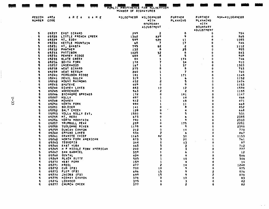
REGION NUMRER
AREA AREA NAME CFDE
05227 05228 05229 05230 05231 05232
:;f;: 05235
::zz:f; 05238 05239 05240 05241 05242 05243 052ou 05245 OS246 052Q7 05240 05250 o52Sl 05252 05253 o52SS 05256 09257 052SB 05259 052bO 05261 05262 05263 05264 05265 OS267 05268 05269 05270 05271 OS272 05213 o527u 05275 05276 OS277
EAST GIRARD l.;TT:;D:RENCH CREEK
KEiTLE POUNTAIN WT. SHABTA PANTHER PATTIBON PENNEV RIDGE SLATE CREEK SOllTH FORK UNDERWOOD kE8T GIRARD wEaT BEEGUM FERGUSON RIDGE DEVIL GULCH MOUNT RAYMOND 8WTEvE DINKEV LAKES WOClDCHUCK BYCAMOW SPR1NGS KELLY MONKEY NORTH FORK SOLDIER SALT CREEK YULLA BOLLY EXT. MT. REBA NORTH MOUNTAIN TRUMBULL PEAK TUCILOMNE RIVER DUNCAN CANYON GRMJBE LAKEB GRAN1T.E CHIEF NORTH FORK AMERICAN TEGUEPIB EAST YUBA N F MIDDLE FORK AMERICAN 3AN GABRIEL QUATAL PLAtK BUTTF wEBT FORK FREEL CUR (FS) FLEM (F3) JAC099 (F3j MIDWAY CANVOW LOGKOOD CHURCH CREEK
NUMBER OF 3IGNATURE3
‘“ILDERNEBB
299 13b2
599 68
79s 132
1025 608
6U 178 167 275 240 181 319 432 409 883 563 172 497 512 994 141 128
1500 673 790 239
11’18 212 536
1165 873 344 465
,290 339 424 SOS 159 UT? 700 b9b 699 376 375 317
KILDERNEBB WITH
RWNDARV ADJUSTMENT
2 029 52b
7 02
8 32
8
: 1 0 1 1
: 0
10 2 0 1 1 1 0 0 9 0 1 0 (1
I R2
3
ii 0 1 0 1 1 2
10 IS 15
0 0 0
FURTHER PLANNING
0 9
11 17
2 25
f 174
3: 8 7
171
f 9
12 2
181 14 10 11
8
:: b 9
ITS 9
1u 6
30 70 13
2 3 6 4
10 4
14 9 9 9
10
f
FURTHER PLAhNING
WITH BOUNDARY
ADJUSTMENT 0 0 4 0 0 0 0 0 0 0 0 0 0 0 0 0 0 0 0 0 0 0 0 0 0 0 0 0 0 0 0 0 4 0 0 1 0 0 0 0 0 0 0
s 0 0 0
NON-NILDERNEBB
754 865
1085 7Ub
1112 955 843 900 706 910
1303 753 700
1149 1152 1476 1153 159P 1155 1147
Ubb 071 bb8 852 bb8 531
2385 2333 2251 2390
770 8b7
1153 Tbl
07 712 777
12 546 306
12:: 075 876 876
83 82 82
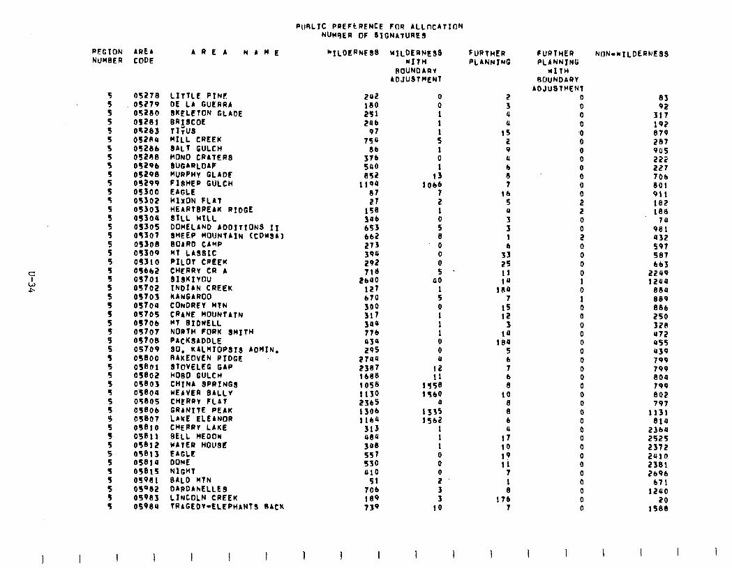
PORLIC PREFCRENCE FOR ALLncATION WC~~ER OF SIGNATURES
PEGION AREA NUMBER CODE
05278 05279 052lll OS281 OS283 OSZAQ OS286 OS208 O&b OS298 05299 OS300 05302 OS303 as304 OS305 05307 OS308 OS309 OS310 056b2 OS70 1 05702 OSTOS OSTOU OS705 OS706 OS707 OS708 OS706 OS800 OS801 OS802 05803 O’S0Ocl 05805 OS806 05807 ii810 05811 05812 05813 OS810 05815 0598 1 OSQ82 OS983 osoeo
LITTLE pINF DE LA GUERRA SKCLETON GLADE BRISCOE rx;us MILL CREEK 8ALt GULCH MONO CRATERS SUGARLOAF HURpHV GLADE FI8HER GULCH EAGLE kIxON FLAT HEARTBREAK RIDGE SILL HILL DOMELAND ADDITIONS II 8HEEP fdOlJNtAIN (COWSA) BOARD CAMP MT LASSIC PILOT CREEK CHERRY CR A SISKIYOU INDIAN CREEK KANGAROO CONDREI MTN CRANE MOUNTATN Ml BIDWELL NORTH FORK SMITH PACKQADDLE SO. K4LnfOP.513 ADMIN. RAKEOVEN RIDGE STOVELCG GAP HOBO GULCH CHINA SPRINGS WEAVER BALLV CHERRY FLAT GRANITE PEAK LAKE ELEANOR CHERRY LAKE SELL HEDOw UATER HOUSE E4GLt DOME NIGHT BALD WIN DARDAhELLES LINCOLN CREEK TRAGEDY-ELEPHANTS BACK
AREA NAME “ILDERNFSS
I I
z7 158 306 653 662 273 390 292 718
2640 127 670
Ifi 3au 776 03s 295
2744 2387 1688 1058 1130 2365
:::: 313 Ul5Q 308 557 550 810
51 706 189 739
1 I
WILDERNESS HIfH
ROUNDARY ADJUSTCIENT
0 0 1 1
: 1 0 1
13 lob6
: 1
s 8 0 0
i 00
: 0 1 1 1 0 0 (I
12 11
1558 1560
1)
::i: 1 1 1 0 0
: 3 3
10
FURTHER PLANNING
2 3 4 (1
15 2 9 Q
8 7
lb 5 4
5 1
3; 25 11 14
180 7
15 12
3 10
18U 5 b 7
: 10
8 8 6 11
17 10 19 11
7 1 8
176 7
FURTHER PLANNING
WITH 6UUNDARI
ADJUSTMENT 0 0 0 0 .O 0 0 0 0 0 0
s 2 0
ii 0 0 0 0 1 0 1 0 0 0 0 0 0 0 0 0 0 0 0 0 0 0 0 0 0 0 0 0 0 0 0
83 92
317 192 879 207 905 222 227 706 801 911 162 188
7u 981 432 597 587 663
2249 izua
nnu 889 886 250 320 472 855 Q39 799 799 8OU 799 802 797
1131 814
23bU 2525 2372 i!UlO 2381 269b
671 lZU0
20 1588
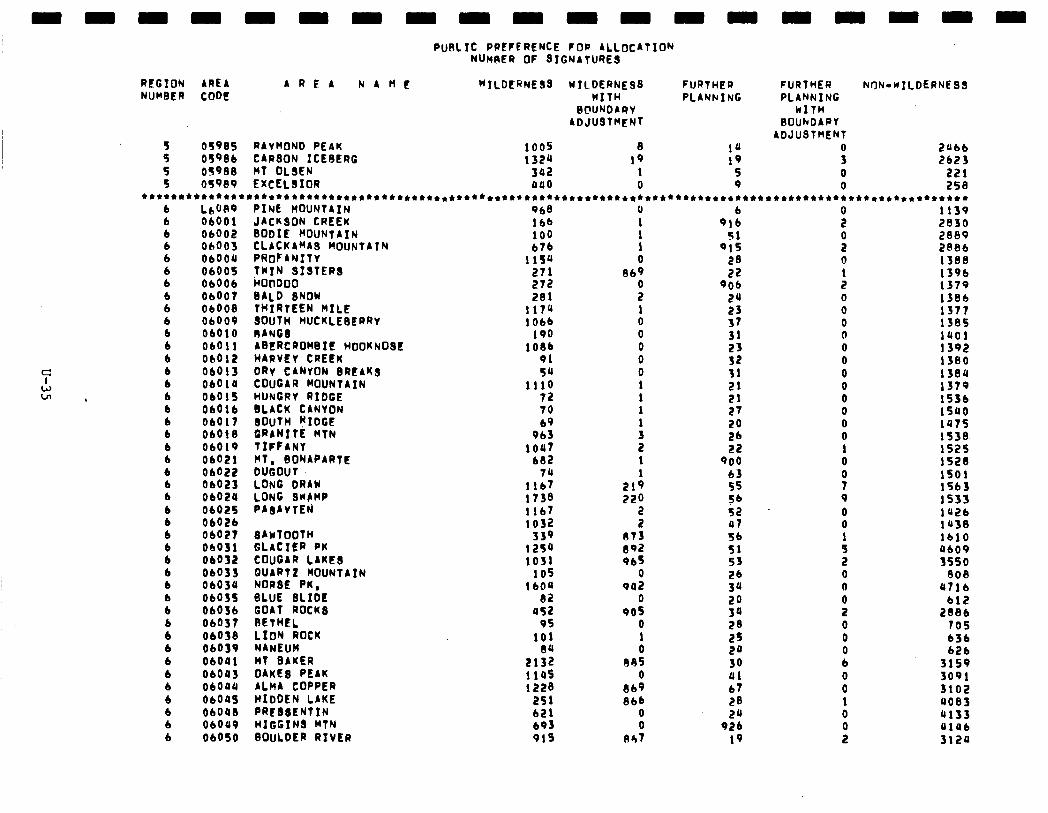
PURL IC PREFERENCE FOP ALLOCATION NlhwR or SIGNATURES
REGION ARE4 AREA NAtIf “‘ILDERNESS UIlDERNE98 FURTHER NUMBER CODE MITH PLANNI NC
BCWJDAQV ADJUSTMENT
: osves 05986 RAVWIND CARSON ICEBERG PEAK 132a 1005 8 10 19 19
5 05988 MT OLIEN 302 1 5 5 OS989 EXCELSIOR 040 0 9
FURTHER NON-wILDERNE33 PLANNING
kITH BOUhDARV
ADJUSTMENT
; 2Ubb 2623
0 221 0 258
*t*****************************+****************************t*****************************************+******* b 6 b b b 6 b 6 b 6 6 b b 6 6 b b b 6 b b b b 6 b b b 6 b 6 b b 6 b b 6 6 b 6 b b b tI
L6U89 06001 06002 Ob003 06004 06005 06006 06007 06008 ObOOO 06010 ObOll oclo12 06015 06010 Ob015 06016 06017 Obbl8 ObO19 06021
88::: ObO2U 06025 06021
ObO27 06031 06012 06033 06030 0103s 06036 06031 06038 06039 06041 06095 06oaa ObOUS 06048 ObOUO 06OSO
PINE MOUNTAIN JACKSON CREEK BODIE MOUNTAIN CLACKAMAS MOIJNTATN PROFANITV TWIN SISTERS ~00000 BALD SNOW THIRTEEN MILE SOUTH HUCKLEBERRV RANG3 ABERCROWBIL HOOKNOSE H4RVEy CREf?K DRv CANYON BREAKS COUGAR MOUNTAIN HUNGRY RIDGE BLACK CANYON BOUTH WIDGE GRANITE MTN TIFFANY WT. BONAPARTE DUGOUT LONG DRAW LONG 9w8MP PAsAYTE?J
84wTOOTH GLACIER PK COUGAR LAKE3 WART2 MOUNTAIN NORSE PK, GLUE ELIDE GOAT ROCK3 BETHEL LION ROCK
N4NEUM MT BAKER 04KE8 PEAK ALH4 COPPER HIDDEN LAKE PRC68ENTIN HIGGINS MTN BOULDER RIVER
968 166 100 676
11sa 271 272 281
117a 1Obb
190 1086
91 5a
1110 72 70 69
963 lout
682 74
1167 1738 1167 1032
339 125u 1051
105 IbOU
82 as2
95 101
80 2132 1145 1228
2Sl b21 b93 915
u 1
: 0
869
: 1 0 0 0 0 0 1 1 1
: 2 1
21: 220
2 2
873 El92 96s
0 902
0 905
0 1 0
885 0
869 866
8 047
6 916
51 915
28 22
906 2a
:: 31 23 52 31 21 21 27 20 21 22
900 b3 55 56
2: 56 51 53 26 3a 20 30 20 25 2a 30 Ul 67 28 2a
926 19
s
i 0 1 2 0 0 0 0 0 0 0 0 0 0 0 0 1 0 0 7 9 0 0
: 2 0 0 0 2 0 0 0 tl 0 0 1 0
:
1139 2830 2809 2886 1388 1396 1379 1386 1377 1385 1401 1392’ 1380 13011 1379 1536 1540 la75 1538. 1525 1528 1501 1563 1533 la2b 1430 lb10 AI09 3550
000 U7lb
612 2886
705 636 626
3159 3091 3102 a003 4133 alab 3120
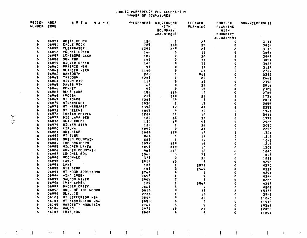
PlJ8LIt PdEFFRENCE FOR ALLOCATION hUnRER OF 8TGNATURES
REGION AREA NUMBER CODE
6 6 6 6 6 6 6 6 6
8 b 6 6 6 b 6 6 6 6 6 b b 6 6 6 6 b 6 6
d 6 6 6 6
ii b 6 6 b 6 6 6 6 b 6
ObOSl WHITE CHUCK 06059 EAGLE ROCK 06055 CLEARMATER ObOSb TOLMIE CREEK ObOS7 LONESOME LAKE ObOSll SUN TOP 06059 SILVER CREEK 06060 PRAIRIE HTN 06061 GLACIER VIEW 06062 SAWTOOTH 06063 TATOllSH 06064 DIVON kTN 06063 DAvI8 MTN 06066 POMPE Y 06067 BLUE LAKE 06068 AMOEBA 06069 nf ADAMS 06070 STRAWBERRY 06071 MT MARGARET ObO72 ST hELENS 06076 INDIAN HEAVEN ObO77 BIG LAVA BED 06078 BEAR CREEK 06070 SILVER STAR 06010 KIPUKA 06081 GUILCENE 06082 MT ZION 06083 GREEN MOUNTAIN 06084 THt BROTHERS 06085 MILDRED LAKES 06086 WONDER MOUNTAIN oboe7 COLONEL BOG 06088 HCDONALD 06090 06091
EAGLE I LAKE
06092 BIG BEND ObO93 MT HOOD ADDITION# ObO9Q MIND CREEK 06005 s4LMON RIVFR 06096 TYIN LAKES 06097 BAbGER CREEK 06098 RULL OF THE WooDs 06099 OLALLIE 06101 MT JEFFERSON usA 06103 MT WA&!HINGTON w8A 06105 HARDESTY MOUNTAIN 06106 WALDO 06107 CHARLTON
AREA NAME *ILDEPNESS
I
122 705
1391 lbb iaa 101 142
96 ii08
202 1203
117 65 98
is2 21s
1243 103b 1592 1405 1221
184 130 120
1050 1083
865 805
1099 1056
963 1560
ST5 2911
107 103
5::: 2905
129 2861 3013 2706 2804 2856 2761 2971 2867
WILDERNE!jS kITH
BOUNDARV ADJUBTMENT
1 868 869
0 0 0 0 0 0 1 1 0 0 0
066 878
94 1
12 a
01 35 19
1 0
874 1 1
e.74 874 079
8 2
13 1 2 a 1 7 1 a 9 1 a b 3
16 a
I ‘1 I
FURTHER PLANNING
29 2s 23 31 28 36 31 27 bb
903 82 al 22 15 la 21 !I IS 07 70 18 33 53 2b a7 18 14 14 16 18 12 72 2b
9 2572 2Sb9
1 9 I3
2Sh7 a
37 15 20
:: 21
9
FURTHER PLANNING
UITH EOUNDARY
ADJUSTMENT 0
i 0 1 0 0 0 0 0 0
i 0 0 1 0 0 2 0 1 0 0 0 0 1 0 0 0 0 2 0
0” 0 0 0 0 0 0
9 0 0 0 0 0 0
hIIN-kILDERNE33
3111 3019 3130 3056 3007 3057 3023 3129 2724 2382 2663 2352 2816 2385 278s 1731 2411 2055 2355 1902 2011 199s 2965 2050 2050 1321 1247 1243 1249 1305 1200
818 1231 4256 a270 4337 a291 u3au a200 U280 U28b
15338 3943
IlOU 11915 19363 12056 11897
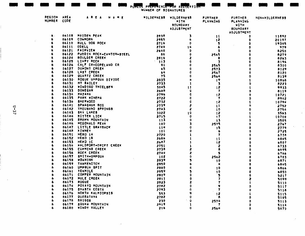
- - - - - - = - Pm PmENC--RAmATIm -
REGION NUMBER
AREA AREA NAME CODE
NUwEQ OF SIGNATURES
“TLDERNE33 WILDCANE WITH
BOUNDARY ADJUlTHENT
FURTHER PLANNING
6. 6 6 6 6 6 6 6 6 6 6 6 6 6
P
8 6 6 6 6 6 6 6 6 6 6 6 6 6 6 6 6 6 6 6 b
8 6 6 6 6 6 6 6 6
OblOl3 06109 06110 06111 06121 06122 0612U b&l25 06126 06127 06120 06129 06130. 06131 06132 Obi3S 0413a 06135 06136 06101 06102 06143 06144 06145 06106 06107 0414e OblSl OblS2 OblS3 06150 06155 OblSb 06157 06158 06159 06160 06161 06171 06172 06173 Ob17Q 06175 06176 06177 06178 06179 06180
MAIDEN PEAK COwHORN BULL DOG ROCK OOELL FAIRVIEW PUDDIN ROCK-CANTON-STEEL BOULDER CREEK LIMPY ROCK CALF CR-COPELAND CR DUMONT CREEK LAST CREEK QUARTZ CREEK ROGUE URRQUA DIVTDE MT BAILEY --- WINDIGO THIELICN DONEGAN H424HA PARK WINEHA 8HERWOOD SPW4GNUH BOG THOUdARD SPRINGS SKV LAKE8 BITTER LICK BROWN MOUNTAIN MCDONALD PEAK :;:pi:f GRAYBACK
HE60 14 HE80 lB HEPO 1C WALDPORT-DRIFT CREEK CUh’HIN8 CREEK ROCK CREEK SRTTH-UMPQUA WOAHIRK TAHKENITCH WPGUA SP-I T TENRILE COPPER MOltNTAfN MULE CREEK ROGUE POTATO MOUNTAIN SHASTA COSTA NORTH KALcIIOPgIS QUOSATANA 9RIGtS sou4w MOUNTAIN WINDY VALLEY
2038 29S5 2716 2704 2640
28:: 113
91 65 64 ‘75
5% 3005 2648 2796 2722 2732
::t : 3022 2715
113 100 114 101
2720 E&I36 2687 2751 2738 2704
102 2839 2850 2800 Peso 2809 2811 2823 2702 2793
553 2782
230 2819
216
3 a 0
10 0
z 0 0 0 0 0 4 1
11 0 0 0
: 2
10 0 0 3 0 0 1 1 1
: 2
ii b i 0
0 0 0 9 0 0 1 0
11 12
5 b 3
256s 8 3
2565 2573 2567 2564
19 3
12 7
12 7
12 11 10 12 17 13
2S7S 19
6 7
11 I2
2 8 5
2562 10
a
10 10
5
; 9 7
12 R
2570 7
2560
FURTHER PLANNING
WITH BOUNDARY
ADJUSTMENT 0 0 0 0 0 0
8 0 0 0 0 1 0 1 0 0 0 1 0 0 1 1 0 0 0 0 0 0 0 0 0 0 0 0 0 0 0
i 1 0 0 1 0 0 0 0
NON-WTLDERNESS
11092 20197 19345
979 8250 8279 8263 8196 8300 8129 8120 0139
10868 8223 9933 8119
10721 8942
1079a 2752 2750 3563
10700 358S 2767 2779 272s 6778 6805 b807 6733 669s 6766 6703 6871 6845 6866 6850 5217 5099 5110 5117 5110 511s 5105 5113 5119 5070
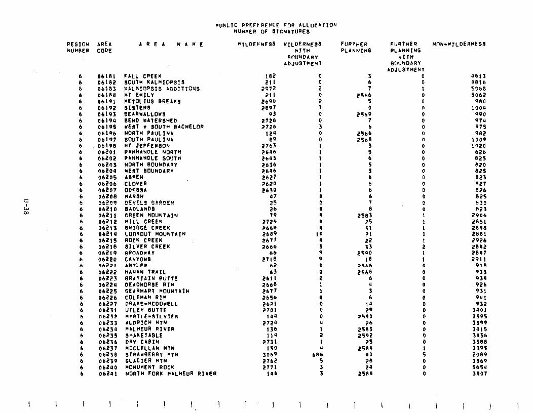
P(IRLIC PREFk RENCi FOR ALLOCATION
3 I
REGION AREA hUH3ER CODE
b 6 b 6 b 6 b
8 b 6 6 6 6 6 6 6 b 6 6 6 6 6 6 b b
: 6 6 6 b 6 b 6 6 b b 6 6 6 6 6 b 6 b 6 6
06181 FALL CREEK 06132 8OuTH KAL~IOPsIS 06183 KAL~IIV’SIS ADDTTI~NB OblAU MT EMILV 01191 METOLIUS BREAKS 06192 SISTERS 06193 BEARwALLOn9 06190 BEND WATERSHED 06195 wEgT + SOUTH BACHELOR 06196 NORTH PAULINA OblQ7 SOUTH PAULIN 01193 Ml JEFFERSON 06201 PANHANDLE NORTH 06202 PANHANDLE SOUTH 06203 NORTH 9OUhDARY 06204 WEST BOUNDARY 06205 AsPEN 06206 CLOVER 06207 ODE834 06208 HARSH 06209 DEVILS GARDEN 06210 BADLANDS 06211 GREEN MOUNTAIN 06212 WILL CREEK 06213 BRIDGE CREEK 06219 LOOKOUT MOUNTAIN 06215 ROCK CREEK 06210 SILVER CREEK 06219 ~ROAOnA Y 06220 CANVONS 06221 ANTLER 06222 HANAN TRAIL 06223 BRATTAIN BUTTE 06224 DEADHOR3E RIM 06225 GEARHART HOUNTAIN 06226 COLEMAN RIM 06227 DRAKE-HCDOUELL 06231 UTLEV 6UTTE 06232 MYRTLE-SILVIES 06233 ALDRICH MTN 06234 WALHEUR RIVER 06235 SHAKETABLE 06236 DRY CABIN 06237 MCCLELLAN MTN 06233 8TRAWBERRY MTN 06239 GLACIER WTN 06240 MONUMENT ROCK 06201 NORTM FORK nALhEuR RIVER
I 1 I I I I
AREA NAME
NUMRER OF 81GNATURE9
*TLOEI;hF98 WILDERhESS kITH
BftUNDARY AOJUSTCcENf
132 211
2972 211
2690 2397
e3 2726 2726
124 39
2763 2bQb 2bU3 2636 2bUb 2627 2620 2630
47 25 26 79
2720 2666 2639 2677 2666
66 2718
62 63
2611 2668 2677 2bSb 2621 2701
104 2724
136 110
2731 1SG
3069 2762 2771
lub
1 1
0
z
: 7 0 0 3 0 0
: 1
:
: 1 0 0 0 a a 4
10
i 9 9 0
P 1 1 0 0 0 0 (I
: 1 a
&fib 5 3 3
1 I
FURTHER PLANNING
3 6 7
2566 5 0
2569 7 b
2Sbb 2568
: b 5 3 6 b b b 7 3
2583 25 31 21 22 33
2S9D 13
5;:: 6
: 6
$ 2590
26 2533 2592
25 2534
00 23 20
2sns
FUQTt+EQ PLANNING
WITH BUUlrOARY
ADJUSTMENT 0 0 1 0 0 0 0 0 0 0 n 0 0 0 0 0 0 0 0 0 0 0 1 1 1 1 1 2 1 1 0 0 0 0 0 0 0 0 0 0 0 0 0 1 5 0 0 0
0013 0316 5063 5062
900 1000
990 974 975 932
1009 1020
326 825 820 825 823 827 826 325 830 823
2906 2851 2893 2331 2926 2342 2347 2911
91R 933 930 926 931 941 932
3401 3395 3399 3015 3036 3333 339s 2039 3369 5654 3407
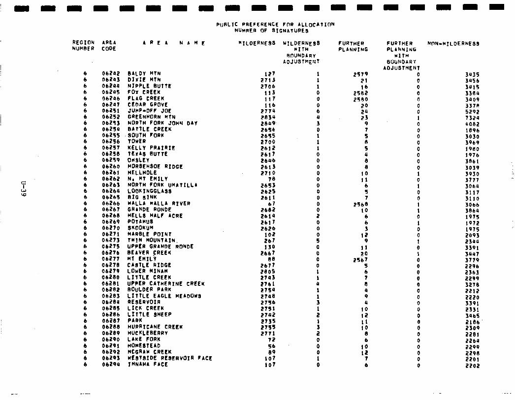
REGION 4PLA AREA NAME NUMBER CODE
6 6 6 6 6 6 6
8 6 6 6 6 6 6 6 6 6 6 6 6 6 6 6 6 6 6 6 6 6
8 6 6 6 6 6 6 6 6 6 6 6 6 6 6 6 6
06242 062lrJ Ob24Q 06205 06246 06207 06251 06252 06253 06250 06255 06256 Ob257 06258 Obi!fP 06260 Ob2b!
:::8’: 062bo 01265 06266 06267 06268 06269 Ob270 06271 ob275 06275 06276 06277 06278 06279 Ob280 06281 06202 06283 06289 06285 Ob286 Ob287 06288 06289 06290 06291 06292 06293 06299
BALDY MTN DIXIE HfN NIPPLE BUTTE FOX CREEK FLAG CREEK CEDAR GROVE JUHF-DFF JOE GREENHORN MTN NORTH FORK JOHY DAY BATTLE CREEK SOUTH FORK TOWER KELLY PRAIRIE TEXAS BUTTE OHSLEY HDR8EHSOE RIDGE HELLHOLE No HT EMILY NORTH FORK UHLTILLA LDDKfNCCLA88 BIG SINK MALLA WALLA RIVER CRANDE RONDE HELL8 HALF ACRE POTAHU8 SKDDKUH MARBLE POINT TWIN MOUNTAIN. UPPER GRANDE RONDE BEAVER CREEI( HT EMILY CABTLE RIDGE LOWER MINAH LITTLE CREEK UPPER CATHERINE CREEK BOULDER PARK LITTLE EAGLE MEADOYS REBERVOIR LICK CREEK l..;;L’ 8HEEP
HURRICANE CREEK HUCKLEBERRY LAKE FORK HOME8TEAD HCGRAM CREEK NESTBIDE RESERVOIR FACE IWNAHA FACE
---
PUBLIC PREFERENCE FDR ALLOCATION NUHRER OF SIGNATURES
“ILDERNESS MIL;;;;ESS
RfWNDARY ADJUBTHE::?
127 2713 2706
113 117 116
277u 2834 2849 2656 EbT5 2700 2bli? 2617 Lbub 2613 ET!0
78 2653 2625 2611
67 2182 2619 2617 2626
102 2b7 130
2667 88
2b77 2805 27a3 2761 2754 27U8 2756 2751 2742 2735 27f5 2771
72 54 89
107 107
1 1 1 0 0
8
i 0
: 1 0 0
8 0 0 0 0 0
I 0 0
i 0 0 0 0 1 1 0 1
:
: 1
1 0 0 0 1 0
FURTHER PLANNING
2579 21
25:: 2590
20 2U 23
9
: B 5 U 8 8
10 11
6 5
25,: 10
6 6 3
12 9
11 ?O
25b7 5 b 7 8 4 9 Q
10 12 11 10
8 6
10 12
7 6
FURTHER PLAkNlNG
WITH BWND4RV
ADJUSTMENT 0 0 0 0 0 0 0 1 0 0 0 0 0 0 0 0 1 0 1 0 0 1 1 0 1 0 0 1 0 1 0 0 0 0 0 0 0 0 0 0 0 0 0 0 0 0 0 0
NON-MILDERNES8
3435 3U56 3u15 338U 3909 3378 5292 7324 4082 189b 3030 5969 1960 197b 38bl 3039 5930 3777 3ObU 3117 3110 30bb 3864 1975 1972 1975 2093 23UU 3391 3OU7 3779 2296 2365 2299 3270 2212 2220 3391 2331 3Ub5 2186 2309 2281 2264 2299 2298 2201 2202
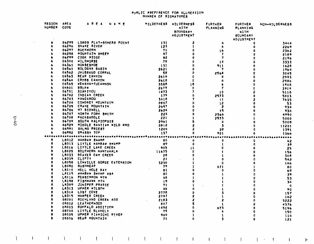
P.uRL1c PREFERENCE FOR ALLOCATlOh NUWRER 0F SIGNATURES
AREA NAME “1LDERNESS WILDERNE98 bITFc
BOUNDARV ADJUSTMENT
2 1 0 0 0 0 0 0 0 0 0
18
9
FURTHER PLANNING
FIJRTYER PLAhNlNG
MITH BOUNDARY
ADJUSThEN 0 0 0 0 0 0 0
0” 0 0 0 0 2
i 0 0 0 0 1 0 0 0 0
NON-UTLDERNESS REGION AREA NUMBER CODE
6 b b 6 b b
: 6 b b 6 b 6 b b b b 6 6 6 6 6 6 b
06295 LORDS FLAT-SOMERS POINT 131 Ob296 SNAKE RIVER 123 Ob2Qt BUCKHORN 71 06298 hOUNTAIN 8HEtP 97 06299 COOK RIDGE 82 Ob300 KILOhORSE 70 Obfbl HORBEBHOE 131 06561 BOLOGNA BASIN 2b2l 06562 JAU88AUD CORRAL 58 06563 BEAR CANYON 2614 ObSbO CR088 CANVON 2blo 01565 IENAHA-TUCANNON 3588 ObbOl 8QUAW 2679 06701 SISKIYOU 1073 Ob702 INDIAN CREEK 179 06703 KANGAROO 3418 ObtOU CONDREY MOUNTA1N 2807 06705 CRANE MOUNTAIN 2b57 06706 MT BIDKELL 262U 06707 NORTH FORK SMITH 224 06708 PACKSADDLE 221 06709 8OuTH KALKIOP818 2961 06929 MIDDLE SANTIAM h1LD PRO 2812 06981 BALM0 PRIEBT 12ob 06982 GRASSY TOP 137
b 6
lb J
1’1 911
7 25b‘f
0 4 6 7
10 2573
I1 12
2 15
2566 2573
0 3
22 921
suus 2269 23b2 2189 2196 3333 lb28 19bU 3045 2993 2986 1908, 3919 5118 5003 7635
55 934 930
4990 5000 5008
11201 1391 13bb
***+*****************+*************************+***********+************************************************** L8012 KAHBAK ShAHP 110 0 0 0 112
x 8 8 b 8 8 8 8 8 8 8 8 8 8 8 8 d IlJ 8 8 8
LB013 L801b LB025 L8033 Lb039 LB058 LB090 LB110 Ldll5 L9llb LO196 Lo309 L8313 LB310 L8315 08001 OR002 on003 08000 08005 08006
LITTLE kAH8Au ShAhI’ LITTLE LAKE CREEK 80l~tHtRN NANTAWALA REAVER DAM CREEK CL1FTY LINVILLE GORGE EXTENSION BUSHHEAP HELL HOLE RAY UAUBAU 3KAnP w8A PLF)SIHMON MTN FI8HHAkK HTN JUNIPER PRARTE UPPER WILSON Lo81 COVE HARPER CREEK RICHLAND CREEK ADD LEATHERKOUD 8UFFALO ADDITION LITTLE BLAKELV UPPER KIAWICHI RTVER BEAR MOUNTAIN
iQ 905
1 lb75 28 21
3236 79 81 80 48 19 71 ub
2778 2797 2183
807 1492
79 909
71
0 II 0 0 1 1 1 0 0 1 0 1 0
i 2 5 0 0 1 0
1 0 1
0 0 0 0 0 0 1 0 0 0 0 0 0
156 308 5&Z 1Ub
80 69 39 53 3u
0 90
157 lb2
5222 4376 5196
150
1 0 0
b71 0 1
t 1
: 1 2 1
b73 u
: 110 121
I I J I
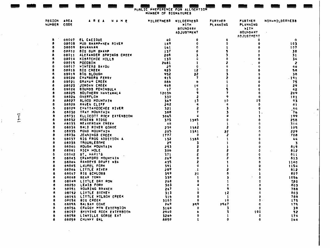
m NUneER OF SIGNATURE8
REGION AREA AREA NAME NUWSER CODE
8 8 8 8 8 8 8
x n 8 8 8 8 8 8 B 8 8 8 8 0 8 8 8 8 8 8 8 8 8 8 8 8 8 8 8 8 8 a 8 A 8 8 8 8 8 8
08007 08008 08009 i8010 08011 08010 08015 08017 08OlS 08019 08020 08021 08023 08024 08025 08026
08027 08028 08029 on030 OdDSI 08032 08033 08034 08035 08036 08037 08038 08000 08041 08002 08043 OIOQO 01)005 08006 08OU7 08048 08099 08050 08051 08052 08053 OR054 08055 08056 08057 00058 08059
EL CACIQUE HUD IWAWP-NEW RIVER BAVANNAH BIG GUM BYAH? ALEXANDER SPRING8 CREEK ;;;;;:;IE HILLS
WINTERS BAYOU BIG CREEK BIG SLOUGH CHAMBER8 FERRY GRAHAM CREEK
‘JORDAN CREEK BOUND8 PENINSULA BOUTHERN NANTAHILA OVERFLOW BLOOD HOUNTA?N RAVEN CLIFF CKATTAHOOCHEE RIVER TRAY MOUNtAfN ELLICOTT ROCK EXTENSION ROGER8 RIDGE BEAVERDAM CREEK BALD RIVER GORGE POND MOUNTAIN JENNINGS CREEK 01G FROG ADDITION A TROUBLESDKE ROUGH FOUNTAIN RICH HOLE 8T. MARY’8 CRAYFORD HOIJNTAIN . RAKSEyS DRAFT MsA LAUREL FORK LITTLE RIVER BIG SCHLO88 BEA! TOWN LITTLE DRV RON LEwI8 FORK ROARING BRANCH LITTLE STONEV LITTLE WILSON CREEK BIG CREEK BALSAM CONE CRAGGY HTN EXTENSION SHINTNG ROCK EXltNBIrJN LINVILLE GORGE ExT CHUNKY GAL
“ILDERNESS WILDERNEBS WITH
BOUNDARV ADJUSTMENT
a0 149 161 137 208 133
2b81 29
923 952 915 88b 988
17 1203b
330 369 292 321 388
5065 375
40 23b 205
1777 I32
29 253 306 371 2b9 035 391 289 359 338 2b8 303 2b’l 313 3lb
3103 269
5164 2990 3266 8850
0 0 0
i 0 1 0
12 22
7 6
19
i 2
13 4 2 7 U
ISA5 I
1302 1391
0 1380
3 2 2 0 2 0 1
21 1 0 11
1 0 0 0
259 0 t 0 1
FURTHER PLANKS NG
0 0
: 3 0 2 a
!i 2 1
: 7 9
IO 4 3 3 U 0
:
2f 1 1 1 2 2 2 1
: 8 3 1 1 9
12 1
25:; 3 3 1 0
FURTHER PLANNING
k1Tl-l BOUhD4RY
ADJUSTMENT 0 0 0 0 0 0 0 0 0 0 0 0 0 0 0
I! 0 0 1 1 0 0 0 n 0 0 0
p” 0 0 0 0 0 1
* 0 0 0 0 0 0 0 0 0
100 0 0
NON-WILDERhESS
1003 107
3: 34
2
2 38
IQ1 75 29
2:: 181
93 01
;!J 4 76
199 258 314 105 229 708
UU 3
819 812 811 813
1140 1 ISU
812 807
1056 73 0 803 788 803 789 175 17s
53 17u IbU
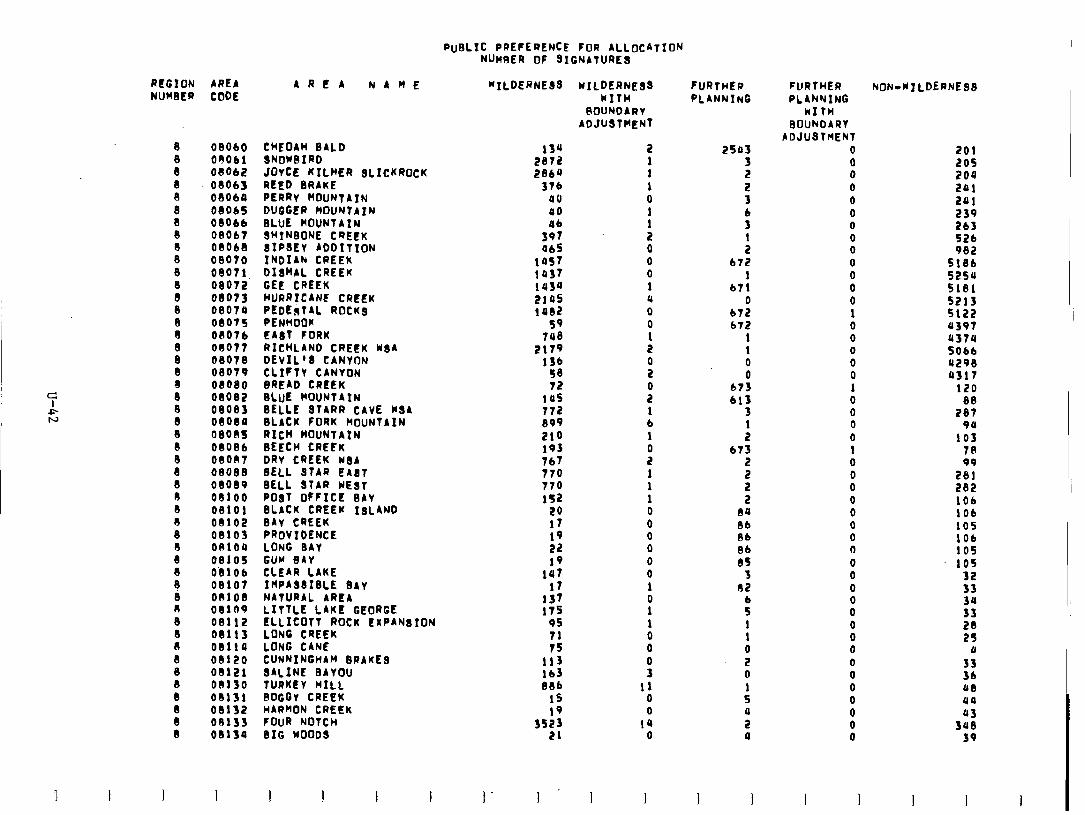
PUBLIC PREFERENCE FOR ALLOCATION NUHRER OF GIGNATURES
REGION AREA NUMBER CODE
08060 CHEOAH BALD OOObl SNOWBIRD blob2 JOvCE KILHER SLICKROCK 08063 REED BRAKE 08060 PERRv MOUNTAIN 08ObS DUGGER MJUNTAIN 08066 08Ob7
8LUt MOUNTAIN SHINBONE CREEK
08068 8IP8EV ADDITION 08070 INDIAk CREEK 08071 DISKAL CREEK 08072 GEE CREEK 08073 HURRICANE CREEK 08070 PEDESTAL ROCK8 08075 PENHOOR 00076 EA8T FORK on077 RICHLAND CREEK WGA 08078 DEVIL’8 CANVON 08079 CLIFTY CANVON 08080 BREAD CREEK 08082 BLUE KOUNTAIN 08085 BELL2 8TARR CAVE K8A 08084 BLACK FORK MOUNTAIN 08005 RICH MOUNTAIN 0808b BEECH CREFK 08007 DRV CREEK MBA 08088 BELL STAR EA8T 08089 BELL 8TAR WEST 08100 PO8T OFFICE BAV 08101 BLACK CREEK ISLAND 08102 0Av CREEK 08103 PROVIDENCE OAIOQ LONG BAV 08105 GUM BAY OblOb CLEAR LAKE 08107 I~PA8818LE 8AY OR108 NATURAL AREA 08109 LITTLE LAKE GEORGE 08112 ELLICOTT ROCK EXPANBION 08113 LONG CREEK 08114 LONG CANE 08120 CUNNINGHAM BRAKES 08l21 8ALINE BAYOU 00130 TURKEY HILL 01131 8OGGv CREEK 08132 HARMON CREEK on133 FOUR NOTCH 08134 BIG WOOD8
ARtA NAHE "ILDERNEBS
134 2872 2864
Stb 00 00 46
397 065
::f: lU3U 210s 1082
SQ 718
2179 lfb 58 72
105
XSf 210 193 767 770 770 152
20 17 19 22 19
147 l7
137 175
95 71 7s
::: 886
15 IQ
3523 21
I . 1 .
wILDERNE88 NITH
@OUNDARV ADJUSTMENT
2 1 1 1 0
: 2 0 0 0 1 4 0 0 1 2
B
2" 1 6 1 0 2 1 1 1 0 0 0 0 0 0 1 0 1 1
8 0 3
11 0 0
14 0
I I
FURTHER PLANNING
2503 3 2 2 3 6 3
: 672
1 b71
0 672 b72
1 1 0 0
b73 613
3 1 2
b73
5 2 2
80 8b 86 8b 85
3 02
: 1 1 0 2 0 1 5
i a
I I
FURTHER PLANNING
WITH BOUNDARY
ADJUSTKENT 0 0 0 0 0 0 0 0 0 0 0 0 0 1 0 0 0 0 0 1 0 0 0 0 1 0 0 0 0 0 0 0 (I 0 0 0 0 0
x 0 0 0 0
:
NONdd7LDERNE88
201 205 204 L&l 291 239 263 52b 982
5186 S25U 5181 5213 s122 US97 4574 5066 4298 4317
120
2:; vu
103 78
2:; 282 IOb 106 105 IOb 105 105
32 33
3: 28 25
11
:t 48 ua
3:: 39
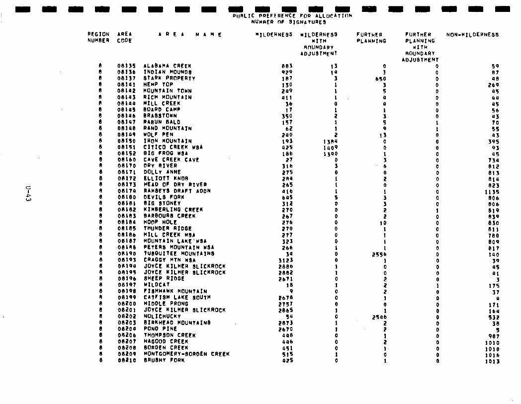
c A W
nn
REGION AREA NUMBER CODE
I 8 8 8 8
8 8 8 8 8 8
:
: n
8 8 8 8 8 8 8 8 8 8 8 8 8 8 8 8 8
8 R 0 8 8 8 8 8 8 8 8 8
08135 08136 00137 08141 08102 08145 08199 08145 08146 08197 08148 00149 08150 08151 08152 08160 08170 08171 08172 08175 08174 08180 08181 08182 08183 08180 0818s 08I86 08187 08198 on190 08193 0P194 on195 08lQb 08197 08198 08199 08200 082Ol 08202 08203 082oa 08206 08207 08208 00209 082lO
nnnnnnrn
AREA NAME “ILDEKNESS
ALABAMA CREEK INDIAN MOUND8 STARK PROPERTY HEMP TOP MOUNTAIN TOWN RICH MOUNTAIN HILL CREEK BOARD CAMP BRA88TOYN RAGUN BALD RAND MOUNTAIN WOLF PEN IRON MOUNTAIN CITICD CREEK w$A BIG FROG w8A CAVE CREEK CAVE DRv RIVER DOLLY ANNE ELLIOTT KNOB HEAD OF DRv RIVER RAb48Eis bR~Ft-i0bN DEVILS FORK BIG BTONEY YIHBERLING CREEK BARBOUR CREEK HOOP HOLE TWNDER RIDGE HILL CREEK bl8A MOUNTAIN LAKE'WSA PETERS MOUNTAIN WSA TUBQUITEE MOUNTAIN8 CRAGGY KTN USA JOYCE KILKER SLICKROCK JOVCE KILHER SLICKROCK IHEEP RIDGE WILDCAT FIBHHAWK MOUNTAIN CATFISH LAKE SOUTH RIDDLE PRONG JUICE KILKER SLICKROCK NOLICHUCKY BIRKHEAD MOUNTAIN8 POND PINE THOMPSON CREEK HAGOOD CREEK BORDEN CREEK WONTGOHERV-BORDEN CREEK BRUdHV FORK
PuRLIC PREFERENCE FOR ALLlXATIIIh NUMRER OF 8IGNATURES
883 929 187 130 209 U!l
36 17
:5! 62
240 193 425 186
27 316 275 2R4 26s 016 645 312 270 267 274 279 277 323 266
311: 2806 2882 2671
18 9
2bI8 2797 2865
28:: Ebto
448 uub 451 s15 425
wilderness WITH
RWNDARV ADJUSTMENT
13 1u
3 1 1 1 0
: 1
: 1384 lUO9 1390
x 0 1 1
: 0 0 0 0 0 0 0 1 0 0 1 1 0 1 0 0 0 1 0 1 1 0 0 0 1 0
nnnnnn
FURlhER PLANWING
!i 650
: 0 4
: 5 9
13 0 0
: 6
i 0 1
3
5 IO
: 1 1
2556 1 0
i 2 2 1 0
250: 2 2
: 1, 0 1
FURTHER NON-WILOERNE88 PLANNI NC
KITH ROUNDARY
ADJUSTMENT 0 0 0 0 0 0 0 0 0
: 0 0 0 0 0 0 0 0 0 0 0 0 1 0 0 0 0 0 0 0 0 0 0 0 1 0 0 0 0 0 0 0 0 0 0 0 0
59 87
2:: US bU US 56 43 70 5s 43
395 93 45
734 812 813 814 823
1135 806 8Ob 019 839 830 811 780 809 817 IUO
39 45 Ql
17: 37
U 171 lb4 532
38 5
987 1010 1010 1016 1013
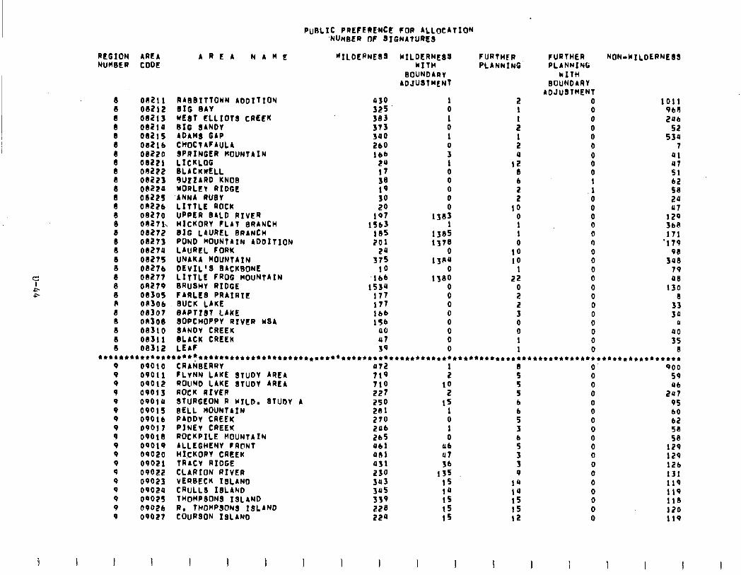
REGION AREA NUH9ER CODE
8 8 8 I3 8 8
x 8
8 8 8 8 e 8 8 8
8 8 8 8 A a cl 8 8 8
01211
08212 OU213 08214 082!5 08216 08220 08221 00222
g::
:II::: 08270 00271\ 08272 08273 08274 08275 08276 08277 OR279 0830s OP306 08307 oasoe 08310 08311 00312
l +********* 9 090 9 090 9 090 9 090 9 090 9 090 9 090 9 090 9 090 9 090 9 090 9 090 9 090 9 090 9 090 9 OQO 9 090 9 090
AREA NAME HILDERNE88
Ff;~“~~;““” ADDITIoN
KE8T CLLIOTS CREEK BIG SANDY ADAMS GAP CHOCTAFAULA BPRINGER MOUNTAIN LICKLDG BLACKWELL SU22ARD KNOB MORLEY RIDGE
‘ANNA RUBV LITTLE ROCK UPPER BALD RIVER HICKORY FLAT BRANCH 81G LAUREL BRANCH POND HOUNTAIN ADDITION LAUREL FORK UNAKA MOUNTAIN DEVIL’S BACKBONE LITTLE FROG MOUNTAIN 8RU8HY RIDGE FARLEB PRAIRIE BUCK LAKE 8APTt8T LAKE 80PtHOPPV RIVER Y8A SANDV CREEK BLACK CREEK LEAF
PUBLIC PREFERENCE FOR ALLOCATION .NUnBEK OF 8IGNAtURE8
030 325 383 373 340 2bO lbb
+?u 17 38 IQ so 20
rot lib3
185 201
2u 375
10 .lbb
1534 177 177 lbb 15b
PO u7 39
KILDERNE88 WITH
BOUNDARY ADJUSTMENT
1 0 1 0 1
i 1 0 0 0 0 0
138;
1385 1378
0 ISRU
0 1380
0 0 0 0 0 0 0 0
FURTHER PLANNING
6
f 10
0 1 1 0
10 ID
1 22
i
5 0 0 1 1
FURTHER PLANNING
-WITH BOUNDARY
ADJUSTMENT 0 0 0 0 0 0
00 0 1
.I
8 0 0 0 n 0 0 0 0 0 0 0 0 0 0 0 0
NON-W ILDERNEIS
1011 968 2Ub
5:: 7
Ql 07 51
;: 29 Q7
129 368 171
‘179
3:: 79 48
130 8
3: u
2 8
r****‘*~****~~****~**n**~***~~*w****~*~*******~*~*********~**************~*************~~~*****~*** 0 CRANBERRV UT2 1 s 0 900 1 FLVNN LAKE 8TUDV AREA 719 2 0 59 2 ROUND LAKE BTUDY AREA 710 IO 5 0 3 ROCK RIVER 227 2 5 0 2:; u BTURGEON I NILD. BTUDY A 250 15 b 0 95 5 BELL M0UNTAIN 281 1 0 b0 b PADDY CREEK 270 0
9 0 b2
7 PINEV CREEK 246 1 3 0 58 8 ROCKPILE MOUNTAIN 2b5 0 6 0 58 9 ALLEGHENY FRONT 461 ub 5 0 129
!O HICKORY CREEK on1 07 0 129 !I TRACY RIDGE 931 36 3 0 12b !2 CLARION RIVER 250 135 9 0 131 !3 vERBEcn ISLAND 3u3 15 1u 0 119 ~4 cRuL~8 IBLAND 3u5 14 14 8 119 ‘5 THOHPBONS ISLAND 339 15 15 118 '6 R. THOKP30N8 IBLAND 228 1s 15 0 120 !7 COURSDN ISLAND 224 15 12 0 119
I I I
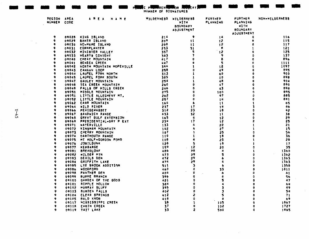
AREA AREA NAME CODE
09028 00029 OQO30 09031 09032 09033 tiooao OQOUl OPOQZ ilPOU$ 09008 09005 09047. 0901(8 09089 09050 09051 09052 09062 09060 0906b
09061 09060 09069 09011 09012 09013 09070 0901s 09076 00011 09081 09082 0908s 09089 6900s
09086
OPOPB
09099
00100 OQlOl 09102 09103 00100 ooin5 09117 OQllA 09119
KING 13LANb BAKER ISLAND NO-NAME ISLAND CORNPLANTER HINIlTtR VALLEY HEARTS CONTENT CHFAT MOUNTAIN 8ENECA CREEK NORTH ROUNTAIN ROPEVILLE CANAAN LOOP LAUREL FCIRK NORTH LAUREL FORK SOUTH GAULEY MOUNTAIN TEA CREEw MOUNTAIN FALL8 OF HILLS CREEK MIDDLE ROUNTAIN 1 ITTLE ALLEGHENY HT. LITTLE ROUNTAIN CARR MOUNTAIN WILD RIVER PERIGEYA88ET 8ANDWICH RANGE GRFAT GULF EXTENSION PRE8IbENTIAL-DRY R ExT WATERVILLE KINSMAN MOUNTAIN CHERRV MOUNTAIN DARTMOUTH RANGE MT WOLF-GORDON PCUJD JOBILDURK KERBARGE BRt ADLOAF WILDER RTN DEVILS DEN GRIFFITH LAKE LIZ BROOK ADDITIM WOODF OR0 PANTHER DEN BURKE BRANCH GARDEN OF THE GODS RIPPLE HOLLOW MURRAY GLUFF BURDEN FALLa CLEAR SPRINGS BALD KNO8 MIS9IbSIPPI CREEk CARIN CREEk
TAIT LAKE
NURRER OF SIGNATURES
WTLDEkNES3 wILDtRNE58 WITH
BOUNDARY ADJUSTMENT
(117 ual ;i0 258
:;: 2f4 210 2ab 27s
:t: 160 237 312 033 lb5 230 133 102 107
:$i 128 159 a86 a73 P7Z 074 511
460
9 11 11 31
5 1 0 a 1 0 1 1 1 0 0 0 0
: 17 23 32
u I?
a 0
: 4 5
12 ?8 20 29 29
3 0 0 0 0
8 0 2 0 1
9
FURTHER PLANNING
14 1’2 12
0 12
9 8 5
12 aq 60 10 a8 al a1
100 91 la 11 1u 18 11
:5 22 27 25 1’3 23 18 20
II 5 b a b
1s b
s a
; 5 1)
105 102 500
FURTHER PLANNING
WITH BOUNOARY
ADJUSTMENT 0 n 0 1 0 0 0 0 0 0 0 a 0 0 0 0 0 0
: 0 0
B 1 1
8 1 1 0 1 0 0 0 0 0 0 0 0
8 0 0 0 0 0 0
NON-UILDERNESS
116 115 111 121 125 131 896
1111 1097
895 900 898 9oa 890 098 895 885 891
65 ab a2 3e 29 25 21 IS
z: 28
:: 1560 1362 1363 1363 1350 181!
61 56 a7 bU a9 54 71 69
1867 1727 1 fib9
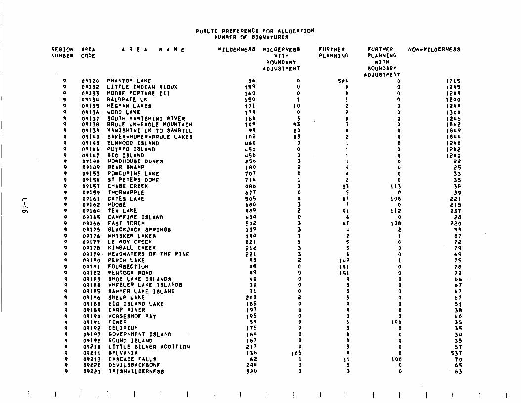
PIJBLIC PREFERENCE FOR ALLOCATION NUMBER OF SIGNATURE8
REGION AREA NUMBER CODE
9 9 9 9 9 9 9 9 9 9 9 9 9 9 9 9 0 9 9 9 9 9 9 0 9 9 Q 9 9 9 9 9 0 9 9 0 0 9 9 9 9 9 9 9 9 9 9 9
09120 09132 09135 09134 09135 09136 09131 09138 09139 09100 09105 09196 09la7 09laS 09149 09153 09150 09151 09159 0916, 09162 09160 09165 0916b 0917s 0917b 09117 0917s 09119 09180 09lRl 09102 09103 09lSa 09185 09186 091ne 09189 09190 09191 09192 09197 09198 09210 09211 SYLVANIA 09213 CASCADE FALLS 09220 DEvILsSACKflONC 09221 IRI~HMILDERN~~~
1 I
AREA NAnIf
PHANTOM LAKE LITTLE INDIAN SIOUX MOOSE PORTAGE II I BALDPATE LK HEGWAN LAKES wO@D LAKE SOUTH KAWIBHIWI RIVER BRULE LK-EAGLC MOUNTAIN KAwIsHIWI LK TO SAWSILL BAKER-HOMER-RRULE LAKES ELWWOOD ISLAND POtAtO ISLAND I316 IiLiNii - NORDHOUSE DUNE8 BEAR SWAWP PORCUPINE LAKE ST PETERS DOME CHASE CREEK THORNAPPLE GATES LAKE MOOSE TEA LAKE CAMPFIRE ISLAND EAST TORCH BLACKJACM SPRINGS WHISKER LAKES LE ROY CREEK KIMBALL CREEK HEADwAtERS OF THE PINE PERCH LAKE FOURSECTION PENTOGA ROAO SHOE LAKE ISLANDS WHEELER LAKE ISLANDS SAWYER LAKE ISLAND SHELP LAKE BIG ISLAND LAKE CARP RIVER HORSESHOE BAY FIBER DELIRIUM GOVERNMENT ISLAND ROIJND ISLAND LITTLE SILVER ADDITION
I I
36 159 16O 150 171 vu lb4 109
90 ln2 UbD us5 as6 256 180 107 71a a86 b?? SOS 680 a09 604 502 139 *aa 221 212 221
58 a0 aQ a0 30 31
200 165 197 195
59 175 164 lb? 217 136
62 2oa 32u
I
"ILDE~NESS WILDERNESS WITH
BOUNDARV ADJUSTMENT
0 0 0 1
10 0 3
93 80 I33
0 0 0
i 0 1 3 0 a 3 2 0
3 1
:
f 0 0 0 0
I: 0 0 0 0 0 0 0 0
105
: 1
I I
f URtHER PLANNING
SPb 0 0 1 2 2
s
i 1 1 1 1 a
i 33
5 al
1 51
6 a7
a
: S 3
lrr9 151 151
a
z 3 a a 0 b 3 0 a 3 a
11 9 3
1 I
FURTHER PLANNING
UITH BOUNDARY
ADJUSTMENT 0 0 0 0 0 0
ii
: 0 0 0 0 0 0 0
113 0
108
11: 0
108 2 1 0 0 0 1 0 0 0 0 n 0 0 0 0
100 0
0" 0 0
100 0 0
NON-WILDERNESS
1115 1209 izas 1240 lzaa 13ou 12u5 1862 lea9 leaa 12480 1242 lzao
22 25
E 38 39
221 215 237
28 220
99
:; 79 69 75 70 12 66 67 67 67 51 38 a0 35 35
3: 57
ss7 70 bS 63
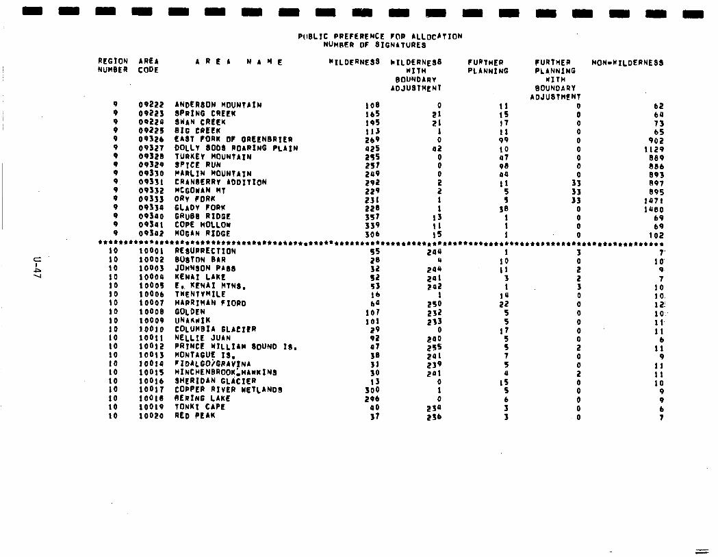
REGION NUMBER
AREA CODE
OP222 09223 00220 09225 0932b 09327 0932ll 09329 OP330 08331 09152 08353 09350 oq3oo ooso1 09Sa2
A R E A NAME
ANDERSON MOUNTAIN SPRING CREEK SWAN CREEK BIG CREEK EAST PORK Ot QREENBRIER OOLLY 8009 ROARING PLAIN TURKEY MOUNTAIN SPICE RUN PARLIN MOUNTAIN CRANBERRY A~OITION MCGOWAN MT DRY FORK GLADY FORK GRuBB RIDGE COPE HOLLOW HOGAN RIOGE
PIIBLIC PREFERENCE FOR ALLOCATION t4Un~m or BIGNATURES
“ILDERNESB
195 113 269 a25 255
ix: 282 229 231
;:: 539 306
~ILDERNEB~ WITH
BOUNDARY ADJUSTMENT
2’: 21
1 0
42
8
x 2
: 13 I1 1s
f URTHER PLANNING
11 15 11 11 vq 10 a7 OS 04 11
z 38
1 1 1
NON-WILDERNEBB FURTHER PLANNING
WITH BOUNDARY
ADJUBTHENT 0 0 0 0 0 0 0 0
3:
33 0 0 0 0
bZ 64 13 bS
902 1129
889 686 893 891 895
*ail la80
b9 69
102 t************************************************************************************************** 11 RE!MJRRECtION 55 244 1 3 1’ 12 BOSTON BAR 2B a 10 11 JOHNSON PABB
10’ 32 241 11 : 9
14 KENAI LAKE s2 201 5 2 7 )S E,. KENAI MTNB, s3 292 1 3 10 16 TWENTYMILE lb 1 14 0 1 0. 11 HARRIMAN FIORD 60 ES0 22 0 12: 18 QOLDEN 107 252 5 0 1 o- 19 WArcuIK 101 213 5 0 1 l- ,O COLUMBIA GLACItR 29 0 17 0 1 1‘ ,I NELLIE JUAN 92 200 0 6 2 PRINCE NILLIAM BOUND IS. 01 2s5
z 2 11
.5 MONTAGUE IS, 18 ~lDALGOi6RAV~NA HINCHENBROOK’ HAWKINS
241 0 9 ,: 10 31 239
T 0 I!
201 4
2 11 6 SHERIDAN GLitIER 13 0 1s
,I COPPER RIVER WETLANOB 10
300 1 5 8 9 9 BERING LAKE 296 0 6 0 9
0 TONKI CAPE 00 2w 3 0
!o RED PEAK 6
31 256 0 7
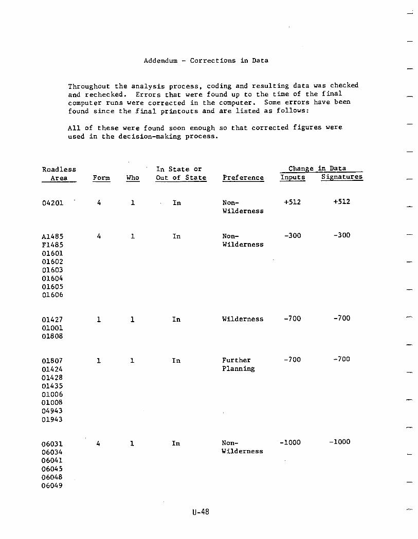
Addendum - Corrections in Data -
Throughout the analysis process, coding and resulting data was checked and rechecked. Errors that were found up to the time of the final computer runs were corrected in the computer. Some errors have been found since the .final printouts and are listed as follows:
All of these were found soon enough so that corrected figures were used in the decision-making process.
-
-
Roadless In State or Change in Data Area Form Who Out of State Preference Inputs Signatures - -
04201 . 4 1 .In Non- +512 +512 Wilderness
Al485 F1485 01601 01602 01603 01604 01605 01606
4 1 In Non- -300 -300 Wilderness
-
-
01427 01001 01808
1 1 In Wilderness -700 -700
-
-
Further Planning
-700 -700 01807 01424 01428 01435 01006 01008 04943 01943
1 1 In
-
Non- -1000 -1000 Wilderness
06031 06034 06041 06045 06048 06049
4 1 In
u-48
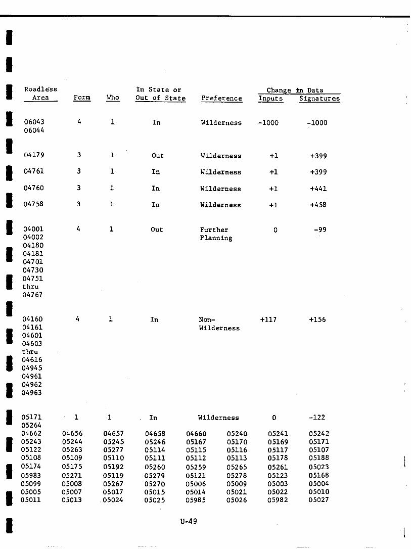
Roadless Area
06043 06044
04179
04761
04760
04758
04001 04002 04180 04181 04701 04730 04751 thru 04767
04160 04161 04601 04603 thru 04616 04945 04961 04962 04963
05171 05264 04662 05243 05122 05108 05174 05983 05099 05005 05011
Form Who
In State or Out of State Preference
Change 3.n Data Inputs Signatures
4 1 In Wilderness -1000 -1000
out
In
In
In
Wilderness +1 +399
Wilderness +1 +399
Wilderness +1 +441
Wilderness +1 +458
4 1 out Further Planning
0 -99
4 1 In Non- Wilderness
+117 +156
1 1 In Wilderness 0 -122
04656 04657 04658 04660 05240 05241 05242 05244 05245 05246 05167 05170 05169 05171 05263 05277 05114 05115 05116 05117 05107 05109 05110 05111 05112 05113 05178 05188 05175 05192 05260 05259 05265 05261 05023 05271 05119 05279 05121 05278 05123 05168 05CjOS 05267 05270 05006 05009 05003 05004 05007 05017 05015 05014 05021 05022 05010 05013 05024 05025 05985 05026 05982 05027
u-49 !
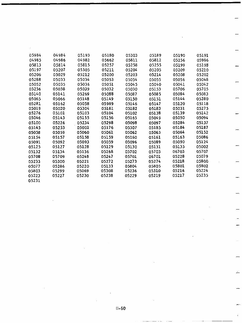
05984 04985 05813 05197 05206 05288 05052 05256 05140 05065 05281 05019 05276 05046 05100 05145 05058 05154 05091 05125 05132 05708 05233 05077 05803 05223 05231
04984 05193 05180 05303 05189 04986 04982 05662 05811 05812 05814 05815 05257 05258 05255 05207 05305 05211 05204 05205 05029 05212 05200 05203 05214 05033 05034 05053 05054 05055 05035 05036 05051 05045 05040 05038 05039 05032 05030 05153 05141 05269 05088 05087 05085 05066 05148 05149 05150 05151 05162 05058 05989 05146 05147 05020 05304 05181 05182 05183 05101 05103 05104 05102 05138 05143 05155 05156 05165 05049 05226 05234 05298 05098 05097 05253 05001 05176 05307 05185 05059 05060 05061 05062 05063 05157 05158 05159 05160 05161 05092 05093 05059 05096 05089 05127 05128 05129 05130 05131 05134 05136 05268 05702 05703 05709 05248 05247 05701 06701 05300 05221 05272 05273 05274 05286 05220 05133 05804 05805 05299 05069 05308 05236 05310 05227 05230 05238 05229 05219
05190 05256 05199 05209 05208 05056 05041 05706 05084 05144 05120 05031 05139 05050 05284 05184 05064 05163 05090 05135 06703 05228 05218 05801 05216 05217
-
05191 05986 05198 - 05210 05202 05048 05042 05705 05083 05280 05118 05275 05142 - 05094 05137 05187 05152 05086 05124 05002 -
05707 05079 05800 - 05802 0.5224 05235 -
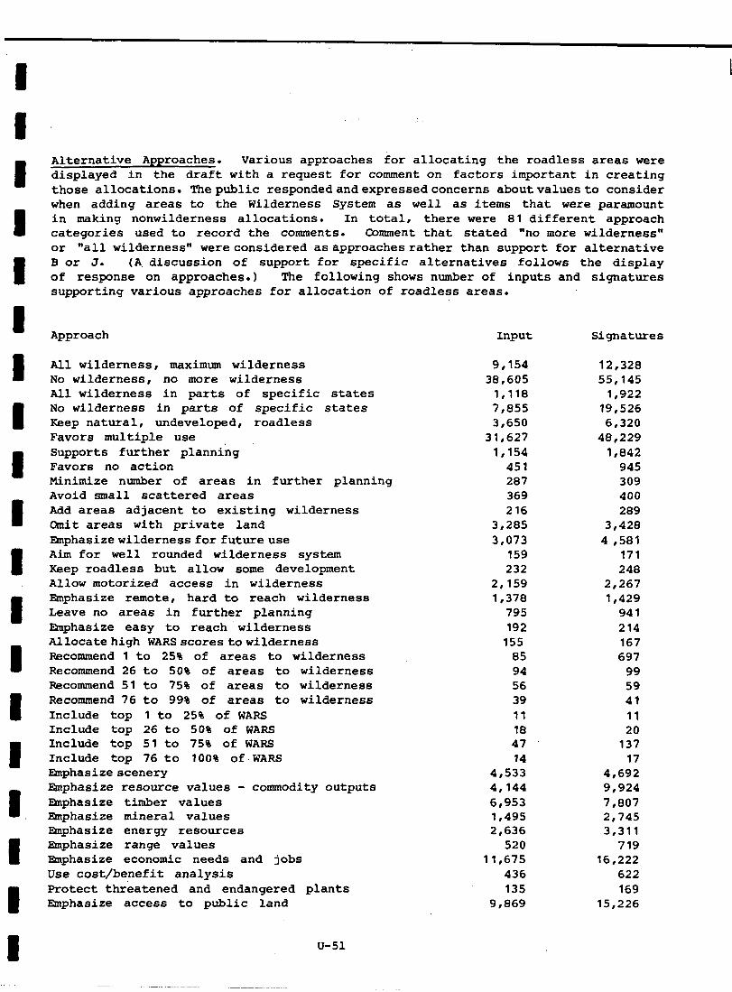
Alternative Approaches. Various approaches for allocating the roadless areas were displayed in the draft with a request for comment on factors important in creating those allocations. Thepublic respondedandexpressedconcerns aboutvaluesto consider when adding areas to the Wilderness System as well as items that were paramount in making nonwilderness allocations. In total, there were 81 different approach categories used to record the comments. Comment that stated "no more wilderness" or "all wilderness" wereconsidered asapproachesrather than support for alternative Bor J. (A. discussion of support for specific alternatives follows the display of response on approaches.) The following shows number of inputs and signatures supporting various approaches for allocation of roadless areas.
Approach Input
All wilderness, maximum wilderness 9,154 No wilderness, no more wilderness 38,605 All wilderness in parts of specific states 1,118 No wilderness in parts of specific states 7,855 Keep natural, undeveloped, roadless 3,650 Favors multiple use 31,627 Supports further planning 1,154 Favors no action 451 Minimize number of areas in further planning 287 Avoid small scattered areas 369 Add areas adjacent to existing wilderness 216 Cmit areas with private land 3,285 mphasizewildernessfor futureuse 3,073 Aim for well rounded wilderness system 159 Keep roadless but allow some development 232 Allow motorized access in wilderness 2,159 Emphasize remote, hard to reach wilderness 1,378 Leave no areas in further planning 795 Emphasize easy to reach wilderness 192 Allocatehigh WARSscorestowilderness 155 Recommend 1 to 250 of areas to wilderness 85 Recommend 26 to 50% of areas to wilderness 94 Recommend 51 to 75% of areas to wilderness 56 Recommend 76 to 99% of areas to wilderness 39 Include top 1 to 25% of WARS 11 Include top 26 to 50% of WARS 18 Include top 51 to 75% of WARS 47 Include top 76 to 100% of.WARS 14 mphasizescenery 4,533 Emphasize resource values - commodity outputs 4,144 mphasize timber values 6,953 ephasize mineral values 1,495 Emphasize energy resources 2,636 Emphasize range values 520 mphasize economic needs and jobs 11,675 Use cost/benefit analysis 436 Protect threatened and endangered plants 135 Emphasize access to public land 9,869
u-51
Signatures
12,328 55,145
1,922 19,526 6,320
48,229 1,842
945 309 400 289
3,428
4,581 171 248
2,267 1,429
941 214 167 697
99 59 41 11 20
137 17
4,692 9,924
7,807 2,745 3,311
719 16,222
622 169
15,226
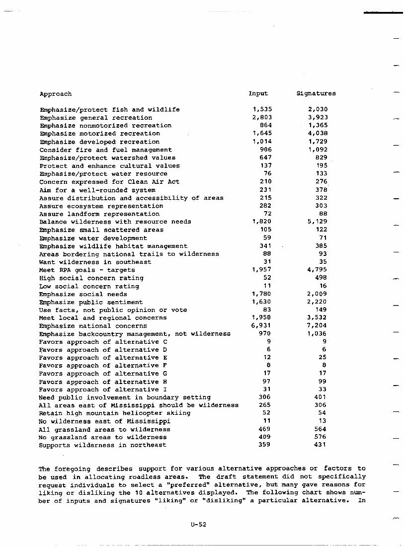
Approach Input Signatures
Emphasize/protect fish and wildlife 1,535 2,030 Emphasize general recreation 2,803 3,923 mphasize nonmotorized recreation 864 1,365 Emphasize motorized recreation 1,645 4,038 mphasize developed recreation 1,014 1,729 Consider fire and fuel management 906 1,092 Emphasize/protect watershed values 647 829 Protect and enhance cultural values 137 195 ELnphasize/protect water resource 76 133 Concern expressed for ,Clean Air Act 210 276 Aim for a well-rounded system 231 378 Assure distribution and accessibility of areas 215 322 Assure ecosystem representation 282 303 Assure landform representation 72 88 Balance wilderness with resource needs 1,820 5,129 E$lphasize small scattered areas 105 122 EXnphasize water development 59 71 mphasize wildlife habitat management 341 385 Areas bordering national trails to wilderness 88 93 Want wilderness in southeast 31 35 Meet RPA goals - targets 1,957 4,795 High social concern rating 52 498 Low social concern rating 11 16 Emphasize social needs 1,780 2,009 Emphasize public sentiment 1,630 2,220 Use facts, not public opinion or vote 83 149 Meet local and regional concerns 1,958 3,532 Emphasize national concerns 6,931 7,204 Emphasize backcountry management, not wilderness 970 1,036 Favors approach of alternative C 9 9 Favors approach of alternative D 6 6 Favors approach of alternative E 12 25 Favors approach of alternative F 8 8 Favors approach of alternative G 17 17 Favors approach of alternative H 97 99 Favors approach of alternative I 31 33 Need public involvement in boundary setting 306 401 All areas east of Mississippi should be wilderness 265 306 Retain high mountain helicopter skiing 52 54 No wilderness east of Mississippi 11 13 All grassland areas to wilderness 469 564 No grassland areas to wilderness 409 576 Supports wilderness in northeast 359 431
-
-
s-
-
-
-
-
-
-
The foregoing describes support for various alternative approaches or factors to be used in allocating roadless areas. The draft statement did not specifically request individuals to select a "preferred" alternative, but many gave reasons for liking or disliking the 10 alternatives displayed. The following chart shows num- ber of inputs and signatures "liking" or "disliking" a particular alternative. In
- U-52
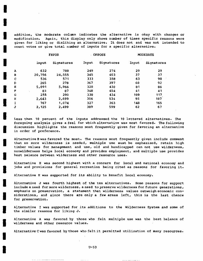
addition, the moderate column indicates the alternative is okay with changes or modification. Again, this display only shows number of times specific reasons were given for liking or disliking an alternative. It does not and was not intended to count votes or give total number of inputs for a specific alternative.
FAVOR OPPOSE MODERATE
Input Signatures Input Signatures Input Signatures
A 632 788 249 274 29 29 B 20,756 24,555 345 403 37 37 C 536 571 333 358 63 90 D 265 278 367 397 60 92 E 5,091 5,966 320 430 81 86 F 83 87 348 454 41 41 G 255 290 330 434 109 117 H 2,643 2,699 356 534 95 107' I 767 1,074 327 363 148 165 J 2,125 2,499 389 599 62 67
Less than 10 percent of the inputs addressed the 10 lettered alternatives. The foregoing analysis gives a feel for whichalternative was most favored. The following discussion highlights the reasons most frequently given for favoring an alternative in order of preference.
Alternative Bwas favored the most. The reasons most frequently given include comment that no more wilderness is needed, multiple use must be emphasized, retain high timber values for management and use , old and handicapped can not use wilderness, nonwilderness helps local economy and provides employment, and multiple use provides best balance between wilderness and other resource uses.
Alternative E was second highest with a concern for local and national economy and jobs and provisions for general recreation being cited as reasons for favoring it.
Alternative H was supported for its ability to benefit local economy.
Alternative J was fourth highest of the ten alternatives. Some reasons for support includeaneed formorewilderness,aneed topreservewildernessforfuture generations, emphasis on preservation, a statement that wilderness values outweigheconomic con- siderations, and since there are only a few areas left; this is the last chance for preservation.
Alternative I was supported for its additions to the Wilderness System and some of the similar reasons for liking J.
Alternative A was favored by those who felt multiple use was the best balance of wilderness and other resource values.
Alternative'Cwas favored bythose who felt it permitted utilization of many resources.
u-53
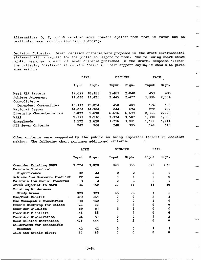
- Alternatives D, F, and G received more comment against them than in favor but no particularreasonscanbecitedasoutstanding.
Decision Criteria. Seven decision criteria were proposed in the draft environmental statement with a request for the public to respond to them. The following chart shows public response to each of seven criteria published in the draft. Response "liked" the criteria, "disliked".it or were "fair" in their support saying it should be given some weight.
LIKE DISLIKE FAIR
Input sign. Input Sign. Input Sign.
Meet RPA Targets Achieve Agreement Commodities -
Dependent Communities National Issues Diversity Characteristics WARS Grasslands All Seven Criteria
17,677 18,183 2,467 2,840 453 483 11,030 11,425 2,445 2,477 1,986 2,004
15,133 15,854 450 481 174 185 14,054 14,784 644 674 272 297
5,077 5,690 6,616 6,699 2,833 2,928 9,373 9,516 3,374 3,507 1,830 1,903 3,572 3,628 1,716 1,891 1,197 1,244
909 960 248 395 140 143
Other criteria were suggested by the public as being important factors in decision making. The following chart portrays additional criteria.
LIKE DISLIKE FAIR
Consider Existing NWPS
Input Sign.
3,774 3,828
Input Sign.
843 865
2 2 1 1 2 3
37 43
65 73 7 9 7 7 1 '1 3 3 1 1 0 0 2 2
0 0 0 0
-
Input Sign.
620 635 Maintain Historical
Significance Achieve Low Resource Conflict Maintain Low Social Concerns Areas Adjacent to NWPS Existing Wilderness
Study Areas Use/Cost Benefit Use Manageable Boundaries Scenic Backdrop for Cities Consider Wildlife Consider Plantlife Consider Regeneration Snow Related Recreation Wilderness for Scientific
Reasons Wild and Scenic Rivers
32 44 22 44
3 4 136 150
823 929 309 361 ii8 142
23 30 69 81 45 55 35 47
436 444
42 42 82 85
8 9 0 0 0 0
11 16
1 2 2 3 4 6 0 0 0 0 0 0 1 2 0 0
-
1 1 0 0
u-54
Summary. The foregoing discussion of public comment has utilized portions of the total content analysis display of response received on the RARE II Draft Environ- mental Statement. It hasbeenhighlighted hereto address issues of individual roadless area allocation, alternative approaches, and decision criteria to be usedindevelop- ment of the proposed action. Additional comment on adequacy or inadequacy of the draft statement package was also a part of the content analysis process. It is not repeated in this appendix as the comment received and the response to thatcommentisdeveloped in Section VIII, Consultation With Others. Microfiche copies ofallcomputer printouts summarizing content analysis of 264,000 responses are available for review at the Washington Office and all Regional and most Forest Supervisor Offices. The response received is available for review in Salt Laketity,Utah. Requests should bedirected to the office of the Responsible Official in Washington, D.C.
u-55

APPENDIX V - SELECTED LETTERS
Selected letters received in response to the RARE II Draft mvironmental State- ment are reprinted in this appendix. Letters printed do not include all received in any one category of response. Some letters were received after the October 1 cutoff date and others have not been retreived from the Salt Lake City Content Analysis Center. Those reprinted here represent response of Federal agencies, State governments, and selected National organizations. This appendix is designed to give reviewers an opportunityto seehow others responded tothedraft statement.
V-l
1
Department of Ener Washington, D.C. 2 r 585 SEP 15s7Q
. . .:.. . :
Honorable N. Rupert Cutler Assistant Secretary for Conservation, Research and Education U.S. Department of Agriculture Washington, D.C. 20250
Dear Dr. Cutler:
Enclosed is the ‘Energy Resource Assessments of Ten Alterna- tives to Wilderness Designation in V.S. Forest Service's 1977-1978 Roadless Area Review and Evaluation (RARE-II),' for use by the U.S. Forest Service in its wilderness designation process. In the report, the Department of Energy (DOE) has refined its statement of interest in the energy resource potential of the RARE-II tracts in an effort to minimize the conflict behreen energy resource development and wilder- new. To accomplish this, we have estimated the extent of energy resources, established priorities for tracts of interest and suggested boundary changes.
The analysis summarized in this report includes oil and gas, coal, uranium and hydroelectric energy resources as well as an assessment of the potential impact of wilderness designa- tion on energy transportation corridors. An analysis of the geothermal energy potential on the RARE-II tracts is still underway and this energy resource is therefore not covered in the report. Analysis completed since the August 24 meeting between DOE and WA staff shows that there may be significant conflicts between wilderness designation and future geothermal energy development in a number of tracts. WE is continuing to assess new information which could affect the resource assessment and ranking of the tracts. For example, there is a subetantial amunt of new WE data on uranium resources vhich is still under review. If subsequent discoveries or analyses result in any changes in the rankings now provided, we will of course inform you as soon as practicable.
The most serious conflict is with oil and gas resources in the Rocky Mountain Overthrust Belt. As you know, a large majority of the acreage of interest is under lease. The current problem - deciding which tracts must be set aside for oil and gas develop- ment - has heretofore been exacerbated by an administrative
I 1 I I
2
decision of the Forest Service to not allow the site in*!cstiga- tion necesdary to make an informed decisicn. WE: is therefore extrrmely concerned both that the acreage of high potential for cil and gas not be irrevocably corrs;.itted to wilderness and that a statutory program be established to guarantee the development of the necessary information for an informed decision on designation of these tracts.
DDE is encouraged by your initial response to our presentation of a proposal to resolve this conflict. In the coming weeks, we wish to pursue this cooperative solution with you.
Enclosure
I I I J
Sincerely,
L5ijihd~~
I
United States Department of the Interior
OFFICE OF THE SECRFTARY WASHINCTVN. D.C. 10140
ER-78/566
now2 lm
Hr. John R. HcGuire Chief. Forest Service Depariment of Agriculture Post Office Box 2417 Washington, D.C. 20013
Dear Mr. McGuire:
This is in response to your June letter requesting the Department of the Interior to review and comment on the draft environmental statement for your proposed Roadless Area Review and Evaluation - RARE II. Accordingly, we have reviewed the statement and supplements and offer the following general comments. We are also enclosing bureau comments on specific roadless areas identified in the supplements.
The draft statement displays 10 alternatives for allocating roadless areas to wilderness proposals, nonwilderness uses, or further study. Evaluation criteria were established to develop these alternatives and tentative decision criteria are proposed to enable the Forest Service to formulate its proposed action. These criteria consider the various advantages and disadvantages of wilderness and nonwilderness uses of the National Forest system and recognize that some lands are best used for wilderness and others for multiple- use. The statement also makes clear that a major purpose of RARE II is to determine roadless areas that should be made immediately available for nonwilderness uses.
We agree with and strongly support these efforts, because the key to orderly management of the National Forest system is to make timely decisions.
In discussing land acquisition, it would be helpful to show how many acres are in private ownership and the approximate purchase cost under each alternative. The amount of out- standing mineral rights. an estimate of the potential for the rights being exercised, potential protection from State laws, and the estimated cost of acquiring the rights should be included in the RARE II evaluation. For example, the
-2-
eastern wilderness Beaver Creek Area in Kentucky has over 5.000 acres of outstandine mineral riahts whose cost is an
’ . estimated $5 million. F&her, the e‘ifect of wilderness areas on adjacent private or other public lands is important but not clear. The planning process should be such that management of the lands can be carried out cooperatively.
Each alternative classifies roadless areas for future use. It is not clear if the classifications will be permanent. It is possible to envision situations where area reclassi- fication may be warranted. We suggest that the relationships between RARE II and other land classification systems, as well as the possibilities for reviewing and changing land classification, be discussed more fully.
Our review indicates that if wilderness designations are pursued, adverse impacts to Indian lands and people may occur. The degree of these imvacts needs to be addressed - for all of the-lands allocated'to wilderness involving G Indian claims or dependence. For example, some designations2 may limit treaty and other rights on portions of the Nation+ Forest system reserved to Indians for gathering wood, hunting, fishing, water usage, and the gathering of food and medicinal herbs. In addition. changes in air quality classifications for wilderness areas to Class I may limit
z- -.
planned or potential industrial developments. .-.:
-I
We urge that the Forest Service consider cultural resources:.V early in the planning process in order that decisions about,. management activities may be responsive to the inherent _. values of cultural resources and to the uses to which these. resources can be put, and in order that conflicts can be anticipated and avoided.
The presence of lands associated with or designated as National Historic or Natural Landmarks or as components of the National Trails or Wild and Scenic Rivers systems should also be considered when proposing wilderness designation. These lands frequently are located within roadless areas. While enabling legislation protects components of these programs, wilderness designation of adjacent roadless areas would not only be compatible with these protection provi- sions, but would also serve to reinforce them.
.
-3-
C
A
1
When allocating areas, the Forest Service should consider that inclusion in the National Wilderness system may not be the most appropriate choice in some cases where roadless areas are already heavily used for recreation by nearby urban populations. For example, there is concern in the Tucson area that parts of the nearby Colorado National Forest now visited by the elderly and handicapped would become inaccessible to them under wilderness designation. Some roadless areas near urban centers where high visitor levels are likely might, therefore, be more suited for management as "backcountry" primitive recreation areas.
The discussions concerning dispersed and developed recreation capacity are confusing. It is not clear whether the dis- cussed capacity concerns the identified RARE II areas or all Forest Service lands. It is not clear either whether capacity of wilderness areas has been considered in evaluating accessibility/distribution. A ratio of population within a day's travel time (2501 miles and the wilderness or potential wilderness acreage does not appear to give a good indication of relative need without consideration of user capacity.
We also suggest that supporting facility development and access to the potential wilderness area, where it is appropriate, be included in the plans for wilderness. In the past we have had several cases where Land and Water Conservation Fund funds have been used to acquire staging areas, parking areas, and the like, after a wilderness area was authorized so that it could be used for recreation purposes. Staging areas, parking areas, and other facilities were apparently not considered when designating the areas as wilderness.
The irreversible or long-term impacts on fish and wildlife resources such as siltation of anadromous spawning streams or destruction of an elk calving area, versus debatable short-term economic gains, should be evaluated for each area, including means of preventing or mitigating adverse effects.
I 1 I I I I
-4-
Hanagement of wildlife habitat . . . . ̂ _^ to timber management decisivrls has traditionally on Forest Service
been secondary lands. .~ Current timber management programs rely quite heavily upon use
of selective herbicides, the targets of which are deciduous trees and shrubs. Such use generally reduces habitat diversity and runs counter to sound wildlife management. We are not aware of an instance where the Forest Service has "improved" fish and wildlife habitat through the use of selective herbi- cides. I" fact, effect.
such treatment generally produces the opposite We suggest, therefore, that reference to the wildlife
value of selective chemical treatment of timber stands be deleted in the final statement.
It is most important for the Forest Service to meet its deadline for designation of potential wilderness areas
This non-
wilderness areas, and the areas for further study. review process is fourteen years old. and the people living in areas adjacent to or under Forest Service jurisdiction are hopeful that some definitive answers will at last be received so that they can begin to plan their lives and their businesses with a bit more certainty. I would especially urge that you cast a critical eye on recommendations for the third category, that of further study. If the acreage for further study is high, the effectiveness of RARE II and the credibility of the Service will be in doubt. The public is anxious to see some definitive answers as a result of RARE II.
4cerQ9,
Dsw~ Larry E. tleierotto %.':I-:'t:t' SECRETARY
Enclosures
I I
C
ill
OFFICE OF THE SECRETARY OF TRANSPDRTATION wAsnl?Groly. D.C. 20590
Mr. John R. HcGuire Chief, Forest Servile U.S. Department of Agriculture P. 0. BOX 2417 Washington, D.C. 20013
Dear Mr. McGuire:
The Department of Transportation has reviewed the draft environmental impact statement (EIS) for the Department of Agriculture's Roadless Area Review and Evaluation program.
This Department has previously pointed out the need to assure that wilderness proposals do not preclude location, operation and maintenance of electronic equipment or other navigational aids which are necessary for the safe operation of aircraft and boats. In many instances, these facilities have very pre- cise location requirements, which must be met in order to provide necessary electronic or visual coverage. If we are unable to meet these location requirements because of land use restrictions, adverse effects on public safety may result. With few exceptions, these facilities are generally small, unobtrusive, and would not interfete with wilderness experi- ence . We reiterate our recommendation of September 20, 1977 (copy enclosed), that consideration of the need for such facilities be included among criteria for evaluating roadless areas.
We believe that existing or proposed DOT navigational facili- ties should be excluded from the orooosed wilderness areas, or the legislation should permit their installation and maintenance, notwithstanding wilderness designation. We recommend that USDA coordinate with the U.S. Coast Guard and the Federal Aviation Administration concerning existing or araoosed facilities which mav be located within the specific r--s--- ~~ ~~~~ roadless areas under study. 'The staff contact for the Coast Guard is LtCdr. Robert Bower, Real Property Branch, (202)426- 2001; the FAA contact is Mr. George Viau, Environmental Systems Division, Airway Facilities Service, (2021426-8937.
2
However, we should note that our concerns are not limited to providing or maintaining sites for existing navigation aids or for those which are currently proposed. Since changes in travel patterns or in technology may dictate new site reouirements for future navisation aids. we believe the legislative proposals for any wilderness areas recormnended as a result of the RARE program must include broad language specifically authorizing retention or establishment of the navigation facilities. We recommend that OMB and the Department of Agriculture include the following language:
"Nothing in this Act shall be construed to impair or otherwise diminish the authority of the Federal Aviation Administration or the U.S. Coast Guard, pursuant to appropriate statutes, to use the wilder- ness areas designited by this Act to construct, operate or maintain aids to navigation facilities for transportation and public safety."
The potential impact on a region and surrounding activities __,, 1 as a result of a wilderness designation, particularly the _, possibility of precluding transportation improvements on existing or proposed corridors through, as well as to, wilder;
_ r
ness areas, should be addressed from State and National -,- perspectives. Prior to designating specific new wilderness :iiL ._,. areas, we suggest that the appropriate State highway agency -?.. :. be contacted to assure that no new roadway facilities are l.-.*z underway in that particular area. A road "corridor" should ?: be defined as an indefinite strip of land encompassing a
_ -'.V
roadway generally within a one-mile band. This would permit T.-., the appropriate relocation or reconstruction of facilities . where needed with due regard for safety, capacity, and environmental impacts. 2
Finally, we wish to make the following recommendations for specific areas:
1. Certain portions of Inventory Area 134 should be classi- fied as nonwilderness in order to allow improvement to U.S. Route 40 on the last side of Berthoud Pass. _.-. .-~~. Specifically, the portions are in T.35, R.75W as follows: s l/2, Section 16; S l/2, Section 17; E l/2, Section 19: and all of Section 20.
2. Areas 281, 285, 331, and 332 should be classified as nonwilderness for the possible improvement of U.S. Route 160 over Wolf Creek Pass. An alternative to nonwilderness classification for these entire areas would be the estab- lishment of a nonwilderness corridor in cooperation with the Colorado Department of Highways for a possible future highway improvement.
3
We regret the delay in providing DOT's comments on the draft EIS. However, at the departmental level, we did not become aware of the RARE II draft EIS until comments were invited by the Office of Management and Budget, in late September, although we have been informed by your staff that copies were sent to the regional office of some elements of the Department.
In conclusion, the RARE II study and potential wilderness designation for roadless areas may have significant impacts upon transportation facilities. in the project,
Because of our strong interest we would like to meet with the Forest Service
and representatives of OMB to discuss how DOT can be more fully involved in the final stages of the study. Please con- tact Mr. Martin Convisser, Director, Office of Environment and Safety, or Wr. Joseph Canny, Division,
Chief, Environmental Analysis at (2021426-4357 to set up such a meeting. We
look forward to cooperating with the Forest Service on the RARE II study.
. Sincerelv. fl .
Enclosure
UNITED STATES ENVIRONMENTAL PROTECTION AGENCY WASHINGTON. D.C. ZNM)
29 SEP 1978
Mr. John McGuire Chief, Forest Service Department of Agriculture P.O. Box 2417 Washington, D.C. 20013
Dear Mr. McGuire:
Pursuant to our responsibilities under Section 309 of the Clean Air Act (CAAl EPA has reviewed the Forest Service draft environmental impact statement (DEIS) 'Roadless Area Review and Evaluation RARE II."
We have noted significant improvement in the quality of the procedure being used in this roadless area review as compared to the RARE I effort. We believe that with some modifications the basic elements of a good evaluative and decision making process are contained in the RARE II effort. The remaining question now is how will these elements be integrated for the recommended action. EPA's review therefore has focused on the general assumptions and methodologies employed in generating those alternatives and the environmental impacts of the presented alternatives.
Our major concerns with the RARB II process include:
* need for an additional decision criterion of environmental sensitivity to be used in alternative development
0 appropriateness of selected decision criteria and use of unbalanced decision criteria in the development of alternatives
' inadequate consideration of the environmental impacts of the presented alternatives
I I
2
' lack of opportunity for public review of Forest Service recommendations
EPA's review has given special attention to the decision criteria (pages 67-681, as requested in the cover letter transmitting the DEIS, and has concluded there should be an additional criterion of 'environmental sensitivity.' The rationale for this criterion is based on the premise that certain areas, because of high quality water, drinking water supply, steep slopes, unstable soils, etc., should be recommended for wilderness designation to prevent costly pollution problems by protecting the natural resources involved.
It is EPA's belief that wilderness designation is an appropriate and effective mechanism for protection of the natural environment and that the PARE II process is a particularly significant opportunity to maintain undegraded environments that are currently of high quality. In this respect our concerns are compatible with the Forest Service mandates to protect watersheds and maintain water flow. It is particularly important to protect water quality and quantity since National Forests are the source of more than 50 percent of the water produced in 11 western States (p. 15, DEIS).
With regard to the decision criteria chosen by the Forest Service, EPA believes that soms of the criteria need clarification, re-evaluation, or revision before they are suitable for use. Of particular concern is the commodity output criteria which ignores development costs and uses unexplained commodity screen values. Any discussion of commodity outputs should include consideration of the demand for that output, the economic feasibility of obtaining the commodity, the development costs involved with the production of the commodity, physical or environmental restraints which constrain output, and the administrative ability to meet that output. Because of the irreversible nature of the decision to develop a roadless area it is EPA's belief that the economic criterion used needs to adeouately demonstrate the economic necessity for and feasibility of removing roadless areas from wilderness consideration. The economic analvsis presented in the DEIS does not adequately uttuDnstrate this necessity. Due to the difficulty in predicting long term demands for resources EPA would anticipate a substantial percentage of lands being allocated to the future planning category to ensure sufficient elasticity in res,Jnding to increasing wilderness demands over the long term.
3
Our review has indicated that for the alternatives presented the assumptions and methodology do not adequately reflect all the environmental benefits or charge the developmental costs to the proper account. The discussion of air and water quality impacts is inadequate in that it does not recognize the direct benefits that wilderness designation can make to protection of water and air quality. The potential adverse impacts of non-wilderness designation on air and water quality were also not adequately evaluated.
EPA believes that this decision to allocate over 62 million acres to wilderness, non-wilderness, or further planning is very significant from the standpoint of our responsibility for protection of water quality under the Clean Water Act (P.L. 95-217). Although the DEIS states that minimum state water quality standards will be met, EPA is concerned with the degradation of existing high quality waters to minimum standards. The DEIS fails to adequately address this concern.
The DEIS also contained no discussion of the alternatives in relation to noise impacts or pesticide and herbicide usage. These deficiencies must be corrected in the final EIS.
EPA has several concerns over the PARE II effort as it is being integrated into the National Environmental Policy Act (HEPA) process. We question whether public notice of supplemer information which has been developed to improve inadequacies in the DEIS is sufficient to meet the intent of NEPA for public disclosure. Secondly, we question whether the Forest Service is meeting NEPA's intent for the public to have an environmental analysis of the proposed Federal agency action. We are concerned whether the DEIS provides such an analysis in view of the Forest Service's statement that we "never thought we would pick one of the alternatives" in the RARE II DEIS (Forest Service official at public briefing on RARE II, September 26, 1978). Thus we find the current DEIS is simply an outline of the decision framework to be used. Extensive public review and discussion of this decision framework will no doubt improve the process, but the NEPA process requires an analysis of the decision the- Federal agency is considering.
:
._ ltal ;--
;:
1.
. c
.
4
The importance and controversy of the issues suggest that what is necessary to fully inform the public and meet the intent of NEPA process is a document that discusses how the Forest Service has used the decision criteria in arriving at wilderness recommendations. That document then needs a thorough public review before the final recommendations are made and discussed in the final EIS.
In conclusion, EPA's review has found this draft document to be inadequate (Category 3) both in its lack of consideration of EPA mandated environmental concerns, in its general use of unsupported and undocumented statements, in its lack of related data on demands for resources and in its unbalanced economic approach. A more expanded discussion of these issues is included in our enclosed detailed comments.
The classification and date of EPA’s comments will be published in the Federal Register in accordance with our responsibility to inform the public of our views on proposed Federal actions under Section 309 of the Clean Air Act.
We appreciate the fine staff response we have experienced so far and anticipate continued good working relationships as we seek to resolve these issues.
Office of Federal Activities (A-1041
Enclosure
I I
EPA's Detailed Comments on the Forest Service Draft Environmental Impact Statement
(DEIS) "Roadless Area Review and Evaluation, PARE II"
1. Water Quality
The long-term protection afforded to water quality by wilderness is an important consideration and should be emphasized in the final EIS. Roadless areas that supply a substantial portion of a given watershed can and should be identified, as well as those that supply high quality waters to downstream municipal supplies, outstanding fisheries, National Wild and Scenic Rivers and the like.
Further, the RARE II process does not appear to have considered water quality as an evaluative criterion for wilderness designation, nor does there appear to have been coordination with the olannino orocess under Section 208. Wilderness designation is especially supportive of the objectives of Section 208 of the Clean Water Act, which establishes a mechanism for EPA-funded State and local planning and programs to reduce or eliminate non-point sources of water pollution including that from silvicultural activities.
The most significant form of adverse water quality impact associated with forest management activities is stream sedimentation (U.S.D.A. Forest Service. 19771. Studies in forests of the-pacific Northwest have shown increases in the rate of sediment production due to land disturbing activities ranging from slight to over 45 times the rate for undisturbed areas (Megahan, 19741. Of various type5 of land disturbance, road construction has generally been linked mostly closely vith increases in sediment production (U.S. EPA Region 10, 1975). For.example, a study of Oregon's Bull Run Watershed indicated that 70 per cent of stream sedimentation resulted from road construction (Frewing Committee, 1973).
EPA recognizes the Forest Service's growing commitment to protection of water quality in all its land management activities. Reductions in potential adverse water quality impacts from such activities have been considerable in recent
I I I 1 I I
years. However, adequate protection becomes increasingly costly and difficult as road building and timber harvest expand into marginal areas with steep and unstable soils. Many roadless areas have these characteristics.
In addition, violations of water quality standards have occasionally occurred as a result of Forest Services activities, despite stated commitments to protect water quality. A report analyzing road construction in Idaho indicated that, .a gap remains between the possible and achieved results in many road projects,' (Hartvog 6 Gonsior, 1973). In some instances where all apparent practical measures were taken to achieve a quality result, problems still occurred. Most notable has been the severe degradation of water quality in the South Fork of the Salmon River in Idaho during the 1960'8, in which accelerated erosion associated with road construction and logging caused major loss of salmon habitat and led to a moratorium on those management activities.
The final EIS should also include additional information on the ultimate water quality impacts of the various alternatives. Deficiencies are particularly apparent in the State supplements. For example, the Alaska Supplement makes no mention of water quality impacts, even for alternatives in which a large majority of areas are designated non-wilderness. The Idaho Supplement states, on page 70, that under these same alternatives water quality would be *roved due to better prevention of large wild fires. This con-ion ignores the potential for logging or road building impacts on water quality. Idaho Supplement,
On page 73 of the alternatives G and H are said to provide
"a moderate reduction in soil disturbance," leading to a 'moderate improvement in water quality." These alternatives, however, would allocate 92% and 859, respectively, of the presently undisturbed areas to non-wilderness, clearly causing a potential decrease in water quality from present conditions.
2. Air Quality
The.DEIS (page 361 stresses the potential restrictive impact of wilderness designation on activities which lower air quality, but virtually ignores the significant impacts on air quality which may result from activities permitted under non-wilderness designation. Increasing the area
3
available for timber harvest has the potential to increase the degree of air quality impacts resulting from silvicultural burning compared to present conditions. Conformance of silvicultural burning with existing State Smoke Management Plans, provides only partial assurance that air quality problems will be avoided.
Although the DEIS cites the negative impact of classifying areas as wilderness in terms of the restrictions on future activities which might degrade air quality near wilderness areas, no example5 are given. The potential activity restrictions should be documented with examples of these activities, a description of which proposed wilderness areas are involved and a discussion of the resource tradeoffs proposed. This type of information could then be viewed in the context that clean air is a desirable commodity, and one that is especially valuable in the Western States where visibility can extend for hundreds of miles.
The DEIS incorrectly interprets the Prevention of ._ Significant Deterioration (PSD) class designations and 7: wilderness. Areas which are designated wilderness as a result -: of recommendations pursuant to RARE II could be designated either Class I, II, or III depending on the specific area involved and the intentions of the State government. '.&",.. '.%
.x - I' 3. Pesticides and Herbicides :.‘f. _ '::
'C. -:. There is no information presented in the DEIS concerning r$ 17
the implications of the various alternatives for use of : I silvicultural chemicals .(including pesticides and herbicides). :> RARE II alternatives with greater non-wilderness designation .- would presumably involve increased potential for use of silvicultural chemicals. This should be discussed in the FEIS. Of particular concern to EPA is the possible long term health effects from use of ohenoxv herbicides. These
.
concerns are reflected in the current RPAR process (Rebuttable Presumption Against Registration) under which the herbicide 2,4,5-T is undergoing a thorough risk-benefit analysis to determine possible needs for changes in registration.
4 5
4. Noise
For alternatives which designate most areas as non-wilderness. disoersed motorized recreation (DEIS D. 391 is shown as having H long term increase of up to approximately two million visitor days per year. These increases may be accompanied by significant increases in noise levels in remote areas. Such impacts of non-wilderness designation should be discussed in the final EIS. Such a discussion should be placed in the context of the continually decreasing avai,lability of opportunities for recreation free of noise impacts.
5. Solid Waste
Where roadless areas contain more rugged terrain than areas harvested in the past, timber harvest in these areas, as opposed to intensified harvest in existing roaded areas, may cause greater residue production with a concomittant disposal problem. 1n these rugged areas with steep slopes, alternatives to burning for disposal are often not available due to the potential for soil damage (GEOMET, 1978).
6. Economic Issues
a. Potential Resource Values
The use of gross resource outputs rather than net outputs is misleading and biases the analysis towards resource development and presents a highly inflated opportunity cost (gross revenues foregone) for such wilderness designation. The net resource value is the appropriate measure and reoresents the aross resource value minus total costs to society of developing the potential resource. We note also that total resource development costs should include costs necessary to meet any required environmental regulations, standards, or mitigations.
Similarly, because the DEIS uses gross measurements of resources contained within a roadless area, as opposed to net value per acre, the results are biased towards development of larger roadless areas. In general, even though the net resource value may be zero, the larger the roadless area,
I I I 1 I I I I
the larger are its gross resource values. To more accurately reflect a roadless areas resource potential, resource measurements should reflect the net value per land unit. .
b: Benefit-Cost Analysis
The DEIS emphasizes the benefits of resource development and the costs of wilderness perservation. However, it devotes very little analysis to the benefits of wilderness and, none to the costs of resource development. This omission could lend to 'double counting", and in any case, is incompatible with modern resource economics principles.
C. Social Impact Analysis
Due to the national significance of PARE II, social impact analysis should have covered regions outside the immediate geographic area of consideration. The current analysis has built in bias in that the DEIS emphasizes local rural areas where the .importance of resource development related jobs is much greater on the margin than would be the case in larger urban-areas both nearby. such as Denver. and further awav. such as Detroit. In the more-urban areas, the importance of wiiderness areas is quite large, since local demand for wilderness is large relative to total available supply. Whereas, for a town near a National Forest, perceived supply of wilderness areas is qreat compared to total demand and therefore there is a tendencv to see the loss of additional potential wilderness areas as less significant than in many urban areas.
Denver County was excluded from the social and cultural analysis because (page 10 Colorado Supplement) "the size of its population and labor force would dilute any economic analysis made concerning roadless areas to the point where the figure5 would be meaningless." This statement points to the bias of the document toward5 resource development.
d. Demand
No attempts were made in the DEIS to estimate future demand for potential resources, including wilderness. The use of indicators to give the reader at least a sense of the demand curves would be useful. For example, trends could
I I I I I I I
6 7
be presented for visitor days at existing wilderness areas and projections made from these trends to estimate future demand. [Krutilla and Fisher (1975) have documented that the demand for primitive recreation has been increasing at a rate of 10% oer vearl. We believe that such information would show that the d&and for wilderness areas will become significantly greater in the coming decades. This is especially important in view of the dwindling potential supply of wilderness areas nationwide.
The DEIS discussion of recreation (pp 37-391 which states there may be a need for .use restrictions to protect the wilderness resource. implies that the demand for wilderness is not being met.
Since the roadleas areas are the only resource the Forest Service has to meet the wilderness demand we believe that wilderness usage should be the highest and best use for these areas. Uoreover, since other lands are available for development, we believe that the development of roadless areas should proceed only after a clear showing of necessity and feasibilitv. This is oarticularlv critical since wilderness is, for all practical purposes, a-non-renewable resource. A decision to make an area a wilderness is always revocable but a decision to develop an area suitable for wilderness is irreversible. The irreversibility of a decision to develop wilderness, then, requires that not only the demand of people today for that resource be considered but also the demand of future generations for the resource.
7. Decision Criteria
The relationship of the 1975 Resources Planning Act (RPAla;argets for wilderness and the outputs from RARE II need to b-s clarified. On page 67 of the DEIS it is stated that the 1975 RPA targets will be a major consideration in evaluating alternatives. This seems inconsistent with the statement on page 3 that RARE II will provide data to assist the 1980 RPA update.
b. Although public concerns should be incorporated into the RARE II process, the Forest Service should clearly keep in mind the national interest in wilderness.
C. If the costs or impacts of designating roadless areas as wilderness are to be measured in terms of commodity outputs foregone, these outputs should be net outputs foregone not the gross outputs. For example, may roadless areas have not been developed because of high development costs. Such costs should be factored into the output foregone calculation.
EPA questions a decision criterion that is based on 'enhancement' of economic factors for local communities. While this is a worthwhile goal, it should be recognized that this local support comes at some cost to the Nation as a whole. The question must be asked at what point the gains in local economic stability are out-weighed by the National costs, in public funds expended to provide commodity outputs from public land, and in loss of wilderness qualities valued by the national public. It may be that providing additional National Forest timber from roadless areas is not the most efficient means of suooortino the economv of local communities i-. when considered from 'the staidpoint of ocerall National domestic policy. In fact, contributing to continued dependence of these communities on a single industry may work against the cause of economic stability, when compared to programs which may encourage economic diversity.
Additionally, it is important to distinguish job losses that relate directly to wilderness designation as opposed to those jobs which may be lost as a result of timber practices which must be modified to meet sustained yield requirements.
._
._
.- d. Decision criteria for energy independence,
housing starts and inflation should-be appiied only to the _.. extent that these considerations have not been applied in other -: decision criteria (timber is double counted by being considered as a commodity output foregone and again under national issues), and to the extent that these criteria provide a cost-effective means of advancing these objectives, compared to other national programs. It should be noted in this regard that the increases costs of timber production on more marginal lands may be inflationary. Also, programs which encourage increased motorized recreational use may not contribute to energy conservation.
9
e. The formulation of concepts on land form and ecosystem representation have significantly added to the definition of a National Wilderness Preservation System. However use of this criterion should be discussed in terms of the methodology and assumptions used to select examples, as well as the values of different examples of the same ecosystem.
f. EPA recommends using the Wilderness Attribute Rating System (WARS), the new criteria of environmental sensitivity, and landform ecosystem representation, as the basic criteria for developing the initial wilderness base against which other economic and commodity concerns will be considered.
However the EIS needs to address the reliability of the WARS technique by discussing whether the regional scores vary significantly from one another and if 50 whether this variance is a function of the resource measured or a function of the reviewers. A graphic display of the frequency distribution of the WARS ratings for both the National level and for the regions would be helpful. One question that arises is whether there is any significant difference among scores or whether they cluster together.
8. Adequacy of the EIS
Throughout the document we have noticed statements unsupported by fact or not put clearly into perspective. Given the amount of public and private interest in this process this lack of clarity should be corrected. For instance the discussion of water (p. 45 DEIS) implies that water quality may be reduced by natural occurances and in these instances water quality improvement and corrective action is limited by a wilderness designation. This statement needs to be put in perspective by discussing this problem in relation to how frequently it is likely to occur, the extent of pollution resulting, and a comparison of this natural oollution aaainst oollution which would occur with non-wild;?rness designation: Until these analyses are performed the usefulness of the original statement is questionable.
I I I I I
Similarly, language on p. 43 of the DEIS refers to the situation in which much of a National Forest's timber base is in roadless areas and therefore not available for sale, with a resultant impact on timber production. Again this statement needs to be put in perspective by discussing how many roadless areas are involved.-the volume of timber involved. and the percentage this volume is of a region's programmed output.
I I I I I I I I
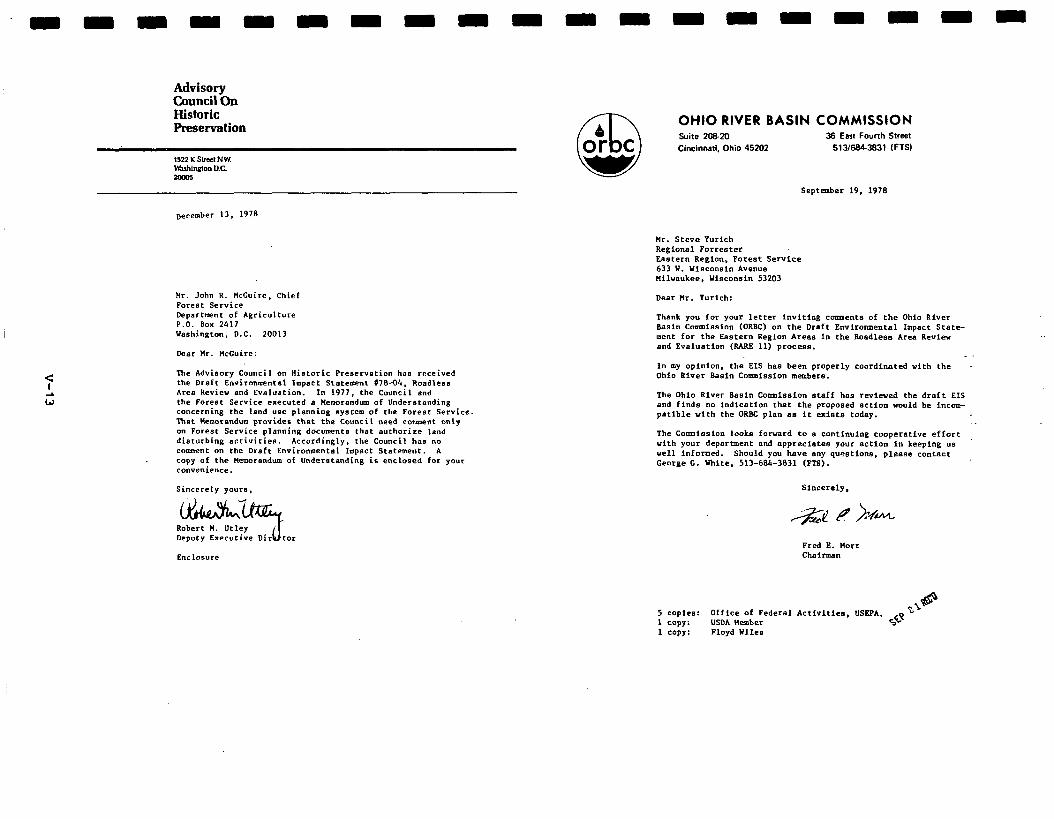
Advisory Council Ou Historic Preservation
December 13, 1978
Hr. John R. tlccuire, Chief Forest Service Department of Agriculture P.O. Box 2417 Washington, D.C. 20013
Dear tlr. McGuire:
The Advisory Council on Historic Preservation has received the Draft Environmental Impact Statement 070-04. Roadleaa Area Review and Evaluation. In 1977, the Council and the Forest Service executed a Uemurandum of Understanding concerning the land urx planning system of the Forest Service That Ueemorandum provides that the Council need cormrent only on Forest Service planning documents that authorize lend disturbing ectivitiee. Accordingly. the Council has no comment on the Draft Environmental Impact Statement. A copy of the Kermrandum of Understanding ia enclosed for your convenience.
Sincerely goure,
Robert H. Utley Deputy Executive Dir
EllClOSUre
OHIO RIVER BASIN COMMISSION Suite 2OEZO 36 East Fourth Street
Cincinnati, Ohio 45202 513/684-3831 (FTSI
September 19, 1978
Mr. Steve Yurich Regional Forrester Eastern Region, Forest Service 633 Y. Wisconsin Avenue Hilweukee, Wisconsin 53203
Dear Mr. Yurich:
Thank you for your letter inviting comments of the Ohio River Basin Commission (ORBC) on the Draft Envirowental Impact Stete- merit for the Eastern Region Area8 in the Boadless Area Review and Evaluation (RARE 11) process.
_
In my opinion, the EIS has been properly coordinated vith the Ohio River Basin Commission members.
The Ohio River Basin Commiseion staff has reviewed the draft EIS and finds no indication that the proposed action vould be incom- patible with the ORBC plan am it exists today.
The Corm~ission lookn forward to a continuing cooperative effort with your department and appreciates your action in keeping us well informed. Should you have any qusetione, please contact George G. White, 513-684-3831 (ES).
Fred E. Herr Chairman
5 copiee: Office of Federal Activities, USBF’A, 1 copy: USDA Member 4 1 copy: Floyd Wiles
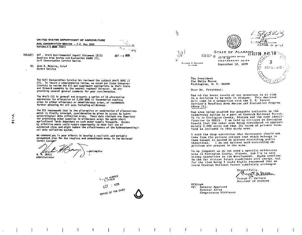
4
UNITED STATES DEPARTMENT OF AGRICULTURE ” ; 50lL UmSWATloN SERVICE _ P.O. Box 2890 .Uhblatm.D.C.ama 20013
. “)YJ
SUBJECT: EVT - Draft Environmental Impact Statement (EIS) Roadless Area Review and Evaluation (RARE II). Soil Conservation Service Review
OCT - 3 0~
TO: John R. McGulre. Chief Forest Servfce
-7 !J ; ,!.I.. -. L’
az:ncc c.w.rrrcr CC.,.“O. September 12. 1078
The Soil-Conservation Service has reviewed the subject draft RARE II EIS. To insure a comprehensive review, we asked our State Conserva- tionists to review the EIS and supplement appropriate to their State and forward comaents to the nearest regional forester. Ye are provldtng several general comaents for your consideration.
The draft EIS is general and presents a series of 10 alternative approaches for allocation of 2.686 RARE II inventoried roadless areas to either wilderness or nonwilderness areas, or recommends further planning for all uses including wilderness.
The SCS recommends that in the alternative or combination of alternatives which is finally selected, consideration be given to access to hydm- meteorological data collection areas. These data stations are important for predlctlng water supplfes in wilderness areas for water-short agricultural lands dependent on such water supply forecasts. Access by primitive means could reduce opportunity to make full use of automated sites and might reduce the effectiveness of the hydrometeomlogi- cal data collection system.
He commend you in your efforts to develop a realistic and workable management plan for the roadless and undeveloped areas in the National Forest SYS~~RT
I 1 I I I J I 1
The President The White Rouse rashington, D. C. 20500
Dear Mr. President:
One 0x1 the basic tenets of our democracy is at risk in a decision to be made in Alabama. This decision will come in a connection with the U. S. Forest Service’s Roadless Area Review and Evaluation Program (Rare II).
One area being studied for possible inclusion in the wilderness system is a part of Conecuh National Forest. It is in Covington County, Alabama and the code identi- fication is 08212. I am told by citizens in COVington County that the total area being considered Is aPProxi- mately 3,000 acres and that 311 acres of private farm- lnnd is included in this study area.
I hold the deep conviction that Government should not tnke from the private citizen that which belongs to them except as needed to achieve overriding public objectives. I do not believe such overriding ob- jectives are present in the area.
In my judgment we do not riced a specific wilderness area in Covington County, Alabama. and I’m in very strong opposition to its development. Maybe sometime
in the far distant future conditions will change. but for the time being I would highly recommend that we leave Conecuh NatIonal Forest completely unchanged.
Governor of Alabama GCIF/rpb CC: Senator Sparknon
Senator Allen Congrcssmnn Dickinson
I I I I I I
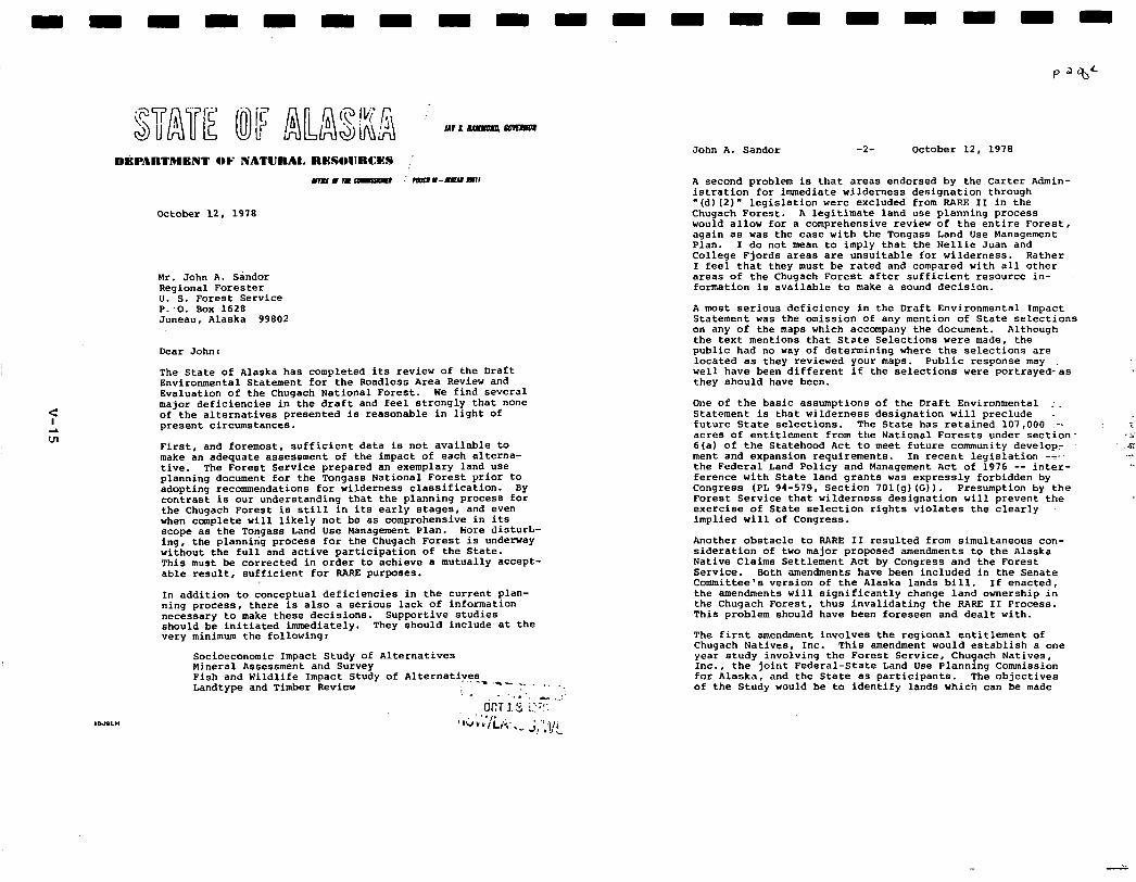
October 12, 1978
Mr. John A. Sandor Regional Forester U. S. Forest Service P:O. Box 1628 Juneau, Alaska 99802
Dear John:
The State of Alaska has completed its review of the Draft Environmental Statement for the Roadless Area Review and Evaluation of the Chugach National Forest. We find several major deficiencies in the draft and feel strongly that none of the alternatives presented is reasonable in light of present circumstances.
First, and foremost, sufficient data is not available to make an adequate assessment of the impact of each alterna- tive. The Forest Service prepared an exemplary land use planning document for the Tongass National Forest prior to adopting recommendations for wilderness classification. By contrast is our understanding that the planning process for the Chugach Forest is still in its early stages, and even when complete will likely not be as comprehensive in its scope as the Tongass Land Use Wanagement Plan. Wore disturt- ing. the planning process for the Chugach Forest is underway without the full and active participation of the State. This must be corrected in order to achieve a mutually accept- able result, sufficient for RARE purposes.
In addition to conceptual deficiencies in the current plan- ning process, there is also a serious lack of information necessary to make these decisions. Supportive studies should be initiated immediately. They should include at the very minimum the following:
Socioeconomic Impact Study of Alternatives Mineral Assessment and Survey Fish and Wildlife Impact Study of Alternative's_ ,.-,.. Landtype and Timber Review : - . . a ,_:
(JCT 1 3 i,:;“: 1 ,,;;;'ii;. I ._ ;/;!!I
John A. Sandor -2- October 12, 1978
A second problem is that areas endorsed by the Carter Admin- istration for immediate wilderness designation through '(d)(2)" legislation were excluded from RARE II in the Chugach Forest. A legitimate land use planning process would allow for a comprehensive review of the entire Forest, again as was the case with the Tongass Land Use Management Plan. I do not mean to imply that the Nellie Juan and College Fjords areas are unsuitable for wilderness. Rather I feel that they must be rated and compared with all other areas of the Chugach Forest after sufficient resource in- formation is available to make a sound decision.
A most serious deficiency in the Draft Environmental Impact Statement was the omission of any mention of State selections on any of the maps which accompany the document. Although the text mentions that State Selections were made, the public had no way of determining where the selections are located as they reviewed your maps. Public response may well have been different if the selections were portrayedcas they should have been.
One of the basic assumptions of the Draft Environmental :. Statement is that wilderness designation will preclude = future State selections. The State has retained 107,000 -. : * acres of entitlement from the National Forests under section- '5 6(a) of the Statehood Act to meet future community develop: x ment and expansion requirements. In recent legislation -Y' ,._I the Federal Land Policy and Management Act of 1976 -- inter- ference with State land grants was expressly forbidden by Congress (PL 94-579, Section 701(g) (Gl). Presumption by the Forest Service that wilderness designation will prevent the exercise of State selection rights violates the clearly implied will of Congress.
Another obstacle to RARE II resulted from simultaneous con- sideration of two major proposed amendments to the Alaska Native Claims Settlement Act by Congress and the Forest Service. Both amendments have been included in the Senate Committee's version of the Alaska lands bill. If enacted, the amendments will significantly change land ownership in the Chugach Forest, thus invalidating the RARE II Process. This problem should have been foreseen and dealt with.
The first amendment involves the regional entitlement of Chugach Natives, Inc. This amendment would establish a one year study involving the Forest Service, Chugach Natives, Inc., the joint Federal-State Land Use Planning Commission for Alaska, and the State as participants. The objectives of the Study would be to identify lands which can be made
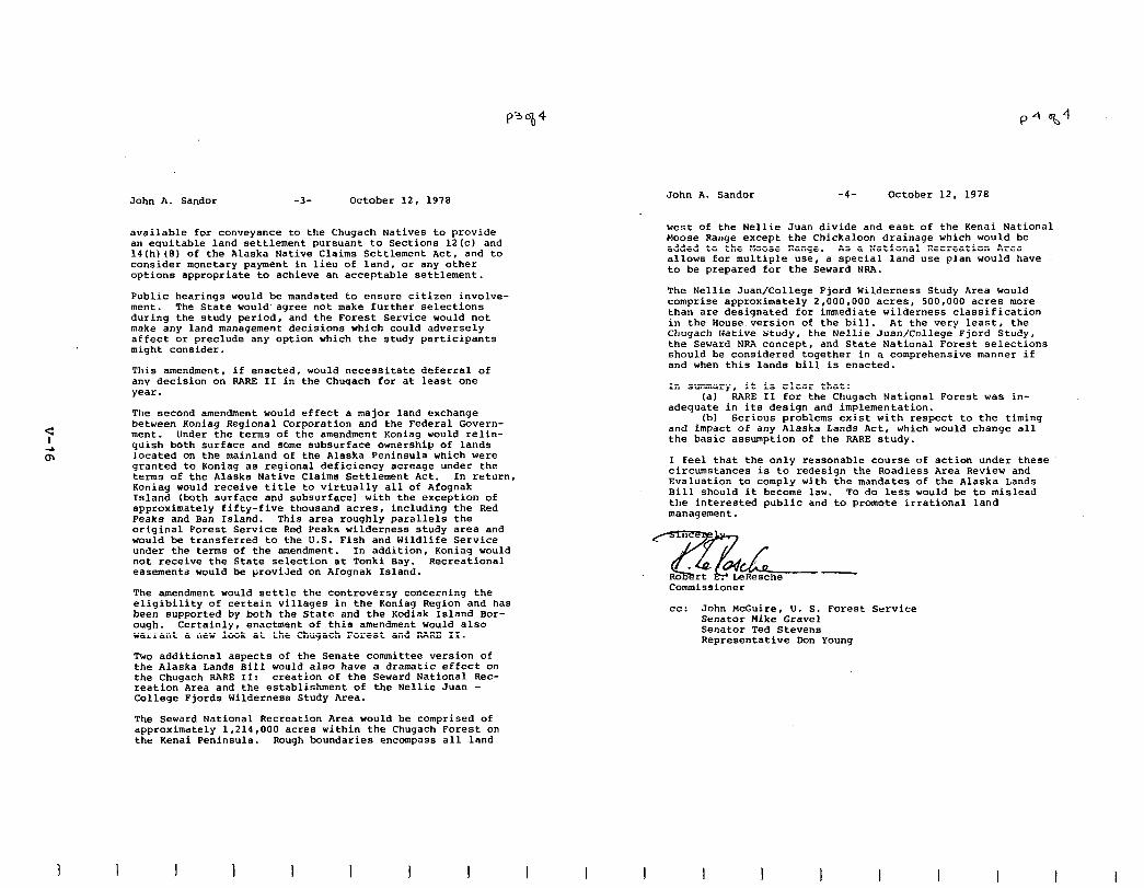
3 1
John A. Sandor -3- October 12, 1978
available for conveyance to the Chugach Natives to provide an equitable land settlement pursuant to Sections 12(c) and 141hl(Bl of the Alaska Native Claims Settlement Act. and to consider monetary payment in lieu of land, or any other options appropriate to achieve an acceptable settlement.
Public hearings would be mandated to ensure citizen involve- ment. The State would.agree not make further selections during the study period, and the Forest Service would not make any land management decisions which could adversely affect or preclude any option which the study participants might consider.
This amendment, if enacted, would necessitate deferral of any decision on RARE II in the Chugach for at least one year.
The second amendment would effect a major land exchange between Xoniag Regional Corporation and the Federal Govern- ment. Under the terms of the amendment Koniag would relin- quish both surface and some subsurface ownership of lands located on the mainland of the Alaska Peninsula which were granted to Koniag as regional deficiency acreage under the terms of the Alaska Native Claims Settlement Act. In return, Koniag would receive title to virtually all of Afognak Island (both surface and subsurface) with the exception of approximately fifty-five thousand acres, including the Red Peaks and Ban Island. This area roughly parallels the original Forest Service Red Peaks wilderness study area and would be transferred to the U.S. Fish and Wildlife Service under the terms of the amendment. In addition, Koniag would not receive the State selection at Tonki Bay. Recreational easements would be proviled on Afognak Island.
The amendment would settle the controversy concerning the eligibility of certain villages in the Koniag Region and has been supported by both the State and the Kodiak Island Bor- ough. Certainly, enactment of this amendment would also warrant a new look at the Chugach Forest and RARE II.
Two additional aspects of the Senate committee version of the Alaska Lands Bill would also have a dramatic effect on the Chugach RARE II: creation of the Seward National Rec- reation Area and the establishment of the Nellie Juan - College Fjords Wilderness Study Area.
The Seward National Recreation Area would be comprised of approximately 1,214,OOO acres within the Chugach Forest on the Kenai Peninsula. Rough boundaries encompass all land
I 1 I I I I
John A. Sandor -4- October 12. 1978
west of the Nellie Juan divide and east of the Kenai National Moose Range except the Chickaloon drainage which would be added to the Moose Range. As a National Recreation Area allows for multiple use, a special land use plan would have to be prepared for the Seward NRA.
The Nellie Juan/College Fjord Wilderness Study Area would comprise approximately 2,000,OOO acres, 500,000 acres more than are designated for immediate wilderness classification in the House version of the bill. At the very least, the Chugach Native study, the Nellie Juan/College Fjord Study, the Seward NRA concept, and State National Forest selections should be considered together in a comprehensive manner if and when this lands bill is enacted.
In summary, it is clear that: (a) RARE II for the Chugach National Forest was in-
adequate in its design and implementation. (b) Serious problems exist with respect to the timing
and impact of any Alaska Lands Act, which would change all the basic assumption of the RARE study.
I feel that the only reasonable course of action under these circumstances is to redesign the Roadless Area Review and Evaluation to comply with the mandates of the Alaska Lands Bill should it become law. To do less would be to mislead the interested public and to promote irrational land management.
Commissioner
cc: John McGuire, U. S. Forest Service Senator Mike Gravel Senator Ted Stevens Representative Don Young
I I I I I I I
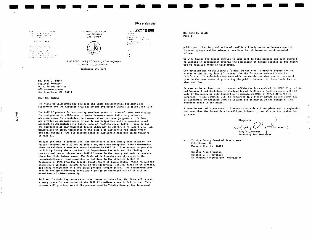
1liE RESOWICES A(;ENCY OF CAL IFOIINIA s.v:llAil!TIlI”. Cfi,.II I,,INlA
September 29. 1978
Hr. lane C. Smith Regional Forester U. S. Foreet Service 63-3 sanaome street Ssn Francisco. CA 94111
OHlo 01 lnldmatian
Dear tlr. Smith:
The State of California has revlewed the Draft Environmental Statement and Supplement for the Roadleas Area Review end Eve1uarion (RARE II) dated June 1978.
The RARE 11 process for evalueting rosdlers awes in terms of their eultnhlllty for deslgnatlan da utlderness or non-ullderneas ares.5 fells to provide an adequate meens for resolving the issuen raised in these Judgements. It dw.s not provide a” adequate meone of public perticipatlon, nnd the computer belied approach to determining the Iuturr “see of roadlees ereae falls to provide for the subtleties of environmental Iesuee which m8y be dlfflcult to quantify hut are nonethelens of great importance to the people of Celifomta end other states --- the reel owners of the six million acres of Celifornia roadless areas involved in RARE II.
Because the RARE II proceae will uot contribute to the timely resolution of the iseues involved, we will not et thin time. with one exception. make recommenda- tions on California roedleae ereas involved in RARE 11. That exception pPrtalns to Trinlt# County where the Board of Supervieore haa endorsed the finding of a county comittee which revlewd RARE 11 areas ln the county and made recoarwnda- clone for their future “eee. ‘Ihe State Of CalifOrnia B:CO91y BLIppOrtS th’
reconrmendatione of that committee e8 outlined in the attached letter of September 7. 1978 from the Trinity County Boerd of Supervisors. Those rccommende- tlons would ellocate 185.000 acrea to non-wildernew. 179.000 acres to wilderness. end delay designation of 6.200 acree pendlng further study. The recormPcndat1ans provide fo,r new vlldernees ereae and aleo for en lncreesed cut of 21 mllllon board feevof timber snnually.
In lieu of submitting co-nts on other areae at thin time. the State ~111 create a new procees for evaluation of the RARE 11 roedless ereee in California. lhis process will provide, 88 did the procees used in Trinity County, for Increased
Hr. Zane C. Smith Page 2
public partlclpatlon. mediation of conflicts likely to arjse between spect.,l interest groupe end for adequate consideration of important environmental Weluee.
We will invite the Forest Service to take pert in this process and look forvilrd to working In cooperation towards the reeolution of issues related to the future “se of roadlees area In California.
Our decision not to perticlpate further in the RARE II process should not be vleved ee indicating lack of interest for the future of federal lands In California. Thle decieion vae made with the conviction that our actlons will provide the beet means of protecting the public interest in these lends In the shortest tlme.
Because we have chosen not to comment within the fromwork of the RARE II process. and because flnal decisions of designatton of California roadless areas ulll he made by Congress. we will forward our comments on RARE II areas directly to Congrese. These cements will be forwarded in e timely manner eo our views may be considered by Cangreea when it focuses its attention on the future of the roadless ereae in our etete.
-: 1 hope to meet with you soon to discuss in more detail our plans end to emphaslre our hope that the Forest Service will participate In our alternative cvaluat Ion pI-*CeSB. . .
Slncprely.
CC: Trinity County Board of Supervisors P.O. Draver AK b’envervllle. CA 96093
SenaCtar Ala0 Cranston Senator S. 1. Heyakava Cnllfornie. Congresalonel Delegation
STATE OF IDAHO S,C.ll...O~,TAIE
l301SE
Septcrdx 29, 1978
Hr. Bob Tort&n t&them Pegion (R-l) Forester Federal Building MEsaJl.a. I4Lxeam 59607
DBart&.-:
The Forest Service sl-mld bs oarmended for its efforts tlmqh the RARE II prQym to deterudne tich lads uder its sfhlhistrath will be &&led to tte NatioMl wilderness PreEervath system. Ih-2 state of Idaho aupportsyaagpalofreachinga~lywdconsi~reddecisia,onthese lmd.3. AsymJh¶verequssted canlent. aI the oraft PNFrcamental state- ment. IR presmt ths follCwing ObServael~ for yulr cmsideratim:
1. The RARE II pr-a weds to be ccmpleted as praqxly as possible.
2. Pottiq public lanls into i&2 “further pie” category effectively “lmks up” such areas. imlmliq tlmse of vitally needed “rgy and mineral rescurces. fmm exploration wd develqumt. Therefore, the mumt of acreage pit into this category should be minimized.
3. Ckmestfc energy ard mineral resmrces are of great iaportmcetoourmticmandourecaxq. tiso- called Ou~thmst Belt, which nms tChro@l the south- eastern portion of cmz state, is thqh to 0cntai.n sizable -ts of vital mineral r esources, such as oil and gas. ureas such as this should not be designated as Wilderness at least until a ccrqlete evaluatim.of such resource potential can be tie. With todq”s techmlogy, exploration can be cm-duct03 in an Wtally sod fashion that does mt alter the basic Wilderness charscter of these arm.
Fxperts tell us that the Overthrust Belt coniAn at least
I I I I I I I I
Mr. l!cbTorheim zi--f= 29* 197*
3. (cult.) a dozen oil fields of which each field could yield to the State of IdaIm, at the rate of 12% royalties, $174,000 per oil field. thy of the oil deposits are said to be with.in.the axa of the RARE II proposal.. certainly if these oil fields wre to be ‘locked up” it wmld be of great potential ecamrdc set-back for the State of I*.
4. It is OUT lPlderstarding that the EhJrem of lard H-t (SIN) is also shxIylng public lmds in Idaim for potential Wilderness designation. It seam unfortunate that its shdy is not being conducted in cmJunct&m with yams, sothatwzmylc&attheplbl.iclamLsi.ssusintheState as a *le. 1tndghtbewiseforyolaagencytocCnsu1t extensively with the EUl cm which areas it my designate as Wildemss before subrdtthg yan final reamnendations.
Preserving wilderness Is mquesthably iqmrtant to the citizens of Idaho and our natial. Eut, so is careful develqmmt of emrgy, mimral, and tirdxr. We hqz that the Forest Service will thmgbtfully weigh the abow clm!zepts in Iraldrg its final deteInIinaeirns.
with beat wishes for swxess in ccnqletion of this Inmt irqmmt tssk, Ian
z3! l!icmud& PElET. (XBWCSA secretary of state + /hla
m/m
I I I I I I I
STATE OF ILLINOIS
OPPICR OF Tarp GO\-ERNOR
SPRINGFIELD ez+7os
September 29. 1978
Hr. Steve Yurich ReSional Forester Eastern Region, Forest Service 633 west h’isconsin avenue nilvaukee, Wisconsin 53203
Dear Hr. Yurich:
I have discussed your letter concerning recomnendations in regard to the Roadleas Area Review end Evaluation (RARE II) process ss it relates to the undeveloped Eastern Region areas. with Director Kenney of the Department of Conservation.
We feel that it is important to preserve certain areas 8s enduring resources of wilderness which shall be maneSed to prmte and perpetuste the wilderness character of the lend for the benefit of all. The areas reconunended below provide the wilderness character required such as solitude. naturalness, SeoloSical and ecological conditions and diversity. In addition, these areas will protect the potential or dedicated natural areas located within them. These sress will provide scenic snd historic preservation, scientific end educational use and primitive recrestion.
The areas Ye recommend are as follovs:
1. Lusk Creek (Pope County) 2. Bald Knob (Union County) 3. Burke Branch (Hassac and Pope Counties)
The ownership of these areas is overwhelmiogly in the public. Thus the impact OF wilderness designation should have little effect on the tax base of the local Soverwents involved.
It is our recommendation that no further purchases of private land be msd,e unless the owner is willing to sell. We also counsel great caution in restrictions on the “se of private land within or adjoining wilderness aress.
-2-
We further recmmnend that since all the proposed roadless areas have wilderness potential, they should be utilized and managed to enhance the total resource to include wilderness regardless of their designation in the future.
We consider it vitally important that the best of the small ares8 remaininS in the eastern United States be protected end managed in such fashion 8s to make them available as vilderness aress for “se by future @2~~RltiO~S.
We appreciate the opportunity to submit these recommendations to you.
JRT:cl
C t!J 0
Septeeber 28, 1976
Mr. Robert Torheim Regfonal Forester U. S. Forest Service Federal Building Missoula. Montana 59801
Dear Mr. Torhefm:
Attached are my reconmendations for the study areas in Flontana which have been included in the Roadless Area Revfew and Evaluation process. These recornaendatfons are submitted in accordance with the procedures spe- cified by the U. 5. Forest Service.
Attachment
Sincerely,
THOMAS L. JUDGE Governor
I 1 I
RARE II Recoavoendations
State of Montana
In the RARE II process, the state has the responsibility to submit
recommendations to the Forest Service, and ultimately the Congress, regard-
ing the designation of study areas within its boundaries. This is a
responsibility that my administration appmached with the understanding
that flontana's recommendation could have a significant effect on the final
designation of millions of acres of land in this state.
By considering the comments of the individuals and interest groups
with a stake in the RARE II process we have established a foundation that
will make it possible for Montana to submit an objective recommendation to
the Forest Service on this critical issue . . . a recommendation that evpha-
sizes objective analysis rather than political sentiments.
Some states appear ready to take the position that there should be
no additional wilderness areas. That approach abdicates the responsibility
of the state to make specific recommendations. 1 believe that the state's
recormnendations should be as representative as possible of the opinions of
the loggers, ranchers, miners, petroleum interests, snowmobllers, wilder-
ness users and other Montanans who will live with the consequences of the
RARE II process.
One primary consideration throughout the period of state review was
a strong commitment to minimize the category of "further study" -- Uontanans
want decisions -- not bureaucratic delays. --
I I I I I I I I
THE SELECTION PROCESS ~-
The selection of Individual areas for wilderness. further planning,
and multiple use recomoendation was an extremely difficult task. This
cornnittee, chaired by the Lieutenant Governor's Office. was composed of
the directors and designated staff representatives of five state agencies:
The Department of Fish and Game. the Governor's Offfce of Commerce and
Small Business Development, the Department of State Lands, the‘oeparunent
of flatural Resources and Conservation, and the Department of Livestock.
Members of the Committee are experienced and objective professionals,
with broad-based backgrounds, fully capable of making difficult and sensitive
declrons while still representing their individual departments. All
recommendations were scrutinized by the directors of each agency, and then
finally reviewed and passed on by the Governor. These recomnendations
represent a reasonable approach to the wilderness issue, and a careful
balancing of envimnmental and economic concerns.
The actual selection process involved the use of data obtained fmm
the Forest Service, studies avallable by the varfous departments of state
government. as well as infonration provided by special interest groups.
All areas were individually dfscussed and debated numemus times. Con-
sideration was given to the wilderness values, wildlife. recreation and
economic characteristics of each regfon as well as publfc input by area.
The state of Ibntana's economy has been and will continue to be highly
dependent on the basic resource industries - agriculture. mining, forest
pmducts and oil and gas. It is our feeling that areas of the national
forest that have significant future economic potential should not be
pemanently withheld fmm development. It is also our feeling that any
development should be subject to the stringent controls necessary to
adequately protect the high quality I.bntana environment. This country
needs energy resources and we could experience a shortage of strategic
metals and timber. Every attempt was made to recomnend for wilderness
deiiynation areas that had high wjldarness qualities and minimum econol!lic
potential. Clearly this was not always possible since many of the recomnended
areas do have potential economic conflicts. By the same token, many areas
recommended for multiple use designation have high wilderness qualities.
Backcountry designation was suggested when it was deemed appropriate to
provide an intermediate landuse alternative.
Since the Forest Service did not provide the states with appropriate
time to make recomnendations on the critical issues involved in the FLARE
II process, it was difficult to develop a detailed and comprehensive data
base. Because of these time and information constraints, the State must . .
reserve the right to amend or adjust its recomnendatfons before specific
areas are designated by Congress. With that understanding. I am recom-
mending 600.744 acres for wilderness designation as listed in Table 1.
-3-
-2-
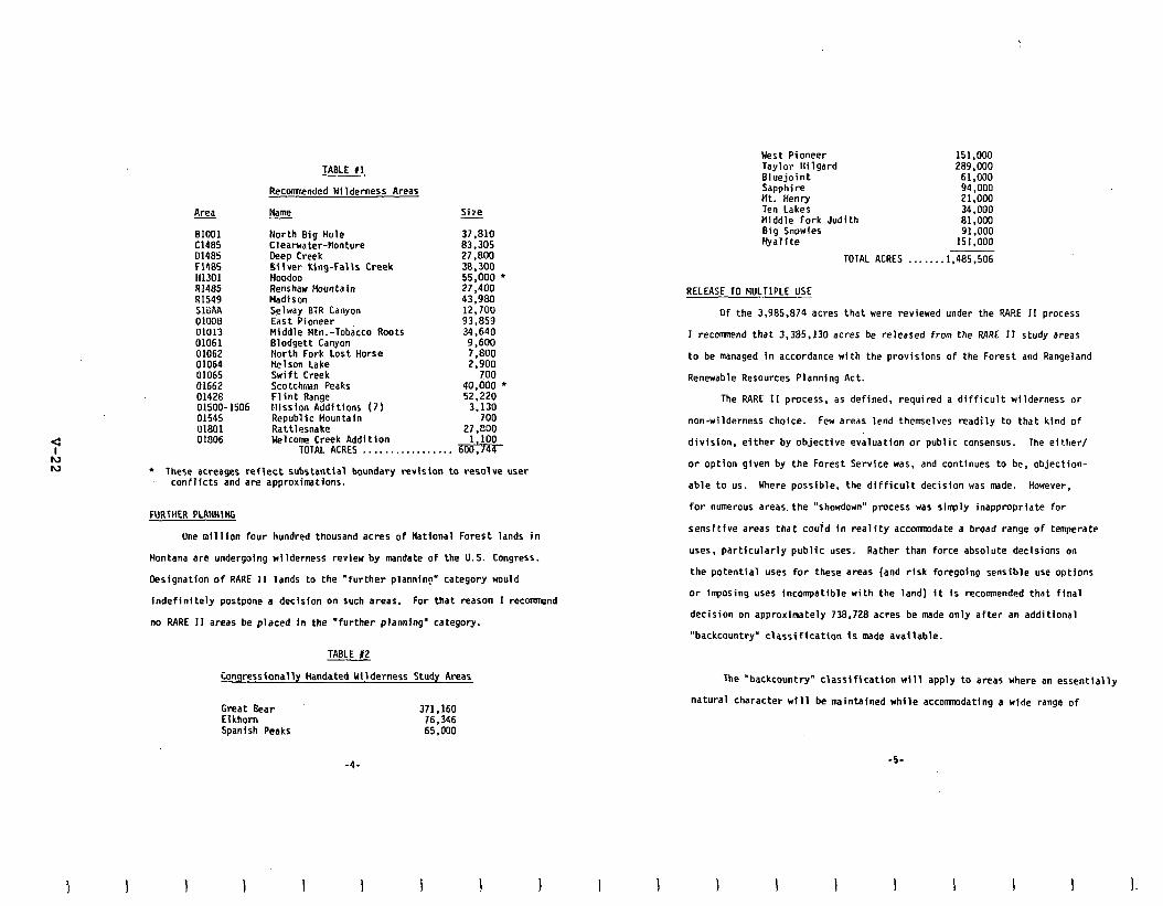
BlOOl Cl485 01485 F1485 II1301 RI485 Ill549 SlBAA 01008 01013 01061 01062 01064 01065 01662 01428 01500- 1506 01545 01801 01806
TABLE II
Recomnended Hilderness Areas
Name
North Big Hole Cleat-water-flonture Deep Creek Sliver King-falls Creek Hoodoo Renshaw Mountain Madison Selway BiR Canyon East Pioneer Middle Ntn.-Tobacco Roots Blodgett Canyon North Fork Lost Horse Nelson Lake Swift Creek Scotchman Peaks Flint Range Mission Additions (7) Republic Hountain Rattlesnake Welcome Creek Addition
TOTAL ACRES . . . . . . . . . . . . . . . .
Size -
37.810 l33;305 27,800 38,300 55.000 l
27.400 43;9Bo 12,700 93,859 34.640
9,600 7.800 2.900
700 40,000 l
52.220 3.130
700 27 .EiOO
.&%- l These acreages reflect substantial boundary revision to resolve user
conflicts and am approximations.
FURTHER PLANNlNG
One nillfon four
Montana are undergoing
Designation of RARE II
hundred thousand acres of National Forest lands in
wilderness review by mandate of the U.S. Congress.
lands to the "further planning" category would
indefinitely postpone a decision on such areas. For that reason I recormnend
no RARE II areas be placed in the "further planning" category.
TABLE 12
Congressionally Handated Wilderness Study Areas
Great Bear 371.160 Elkhom 76,346 Spanish Peaks 65.000
-4-
West Pioneer 151,000 Taylor Hilgard 289,000 Bluejoint 61,000 Sapphire 94,000 Ht. Henry 21.000 Ten Lakes 34,000 Middle Fork Judith 81,000 Big Snowies 91,000 Hyalite 151.000
TOTAL ACRES _ . . . ...1.485.506
RELEASE TO HULTIPLE USE
OF the 3.985.874 acres that were reviewed under the RARE II process
1 recommend that 3.385.130 acres be released from the RARE II study areas
to be managed in accordance with the provisions of the Forest and Rangeland
Renewable Resources Planning Act.
The RARE 11 process, as defined, required a difficult wilderness or
non-wilderness choice. Few areas lend themselves readily to that kind of
division, either by objective evaluation or public consensus. The either/
or option given by the Forest Servfce was. and continues to be, objection-
able to us. Here possible, the difficult decision was made. However,
for numerous areas the "showdown" process was simply inappropriate for
sensltlve areas that could in reality accomnodate a broad range of temperate
uses, partfcularly public uses. Rather than force absolute decisions on
the potential uses for these areas (and risk foregoing sensible use options
or imposing uses incompatible with the land) it is recommended that flnal
decision on appmximtely 738.728 acres be made only after an additional
"backcountry' classification is made available.
The "backcountry" classification will apply to areas where an essentially
natural character will be maintained while accommdating a wide range of
1 I I
-5
I I.
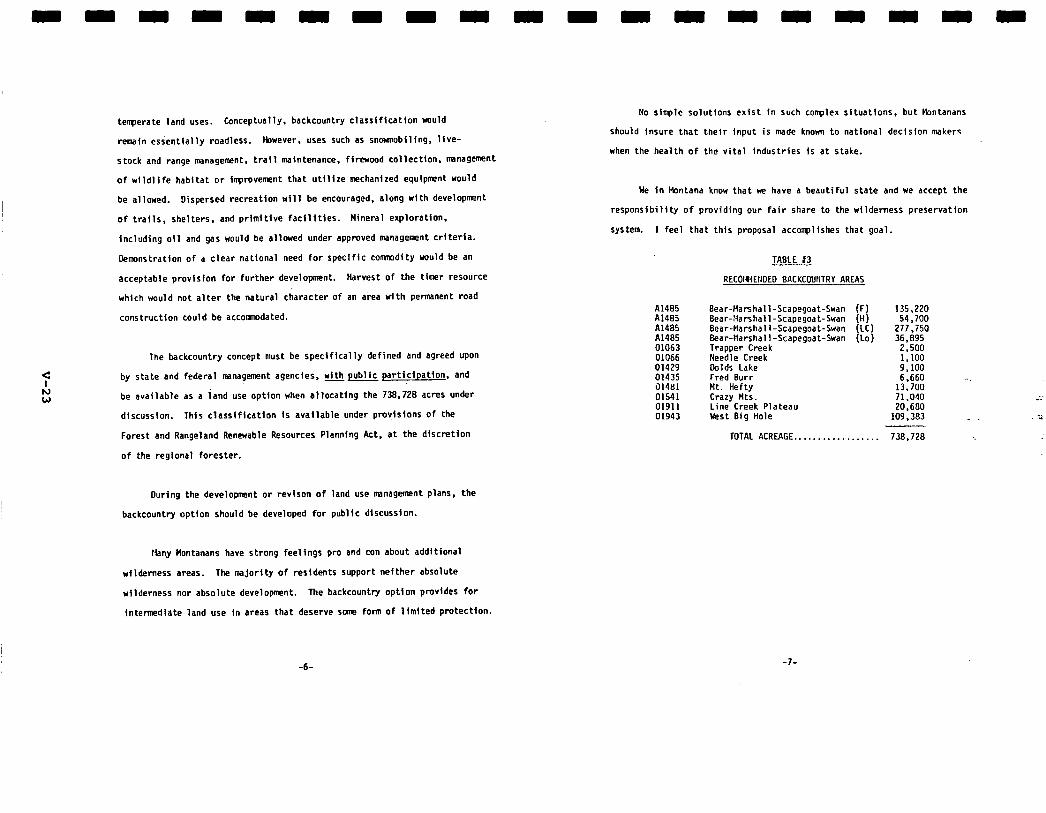
temperate land.uses. Conceptually, backcountry classification would
remain essentially roadless. Fbwever, uses such as snovanobiling, lfve-
stock and range management. trail maintenance, firewood collection. management
of wildlife habitat or ilrpmvement that utilize mechanized equipment would
be allowed. Dispersed recreation will be encouraged, along with development
of trails, shelters. and primitive facflitles. Wneral exploration,
Including oil and gas would be allowed under approved management criteria.
Demnstration of a clear national need for specific commdity would be an
acceptable provision for further development. Harvest of the timer resource
which would not alter the natural character of an area with permanent mad
construction could be accommodated.
The backcountry concept must be specifically defined and agreed upon
by state and federal management agencies, with public participation. and
be available as a land use optfon when allocating the 738.728 acres under
dlscussfon. This classiflcatfon Is available under provisions of the
Forest and Rangeland Renewable Resources Planning Act, at the discretion
of the regfonal forester.
During the development or revison of land use wnagefaent plans, the
backcountry option should be developed for public discussion.
Hiany Montanans have strong feelings pm and con about additional
wilderness areas. The majority of residents support nefther absolute
wilderness nor absolute development. The backcounty option pmvides for
intermediate land use in areas that deserve some form of llmited protection.
No sirrple solutions exist in such complex situations, but Ibntanans
shouTd Insure that their input is made knorm to natfonal decision makers
when the health of the vital industries is at stake.
We in bbntana know that we have a beautiful state and we accept the
responsibility of pmviding our fair share to the wilderness preservatfon
system. I feel that this proposal accorrpllshes that goal.
TABLE 13
RECOIWEIIDEO BACKCOLINTRY AREAS
A1485 Bear-Marshall-Scapegoat-Swan Al485 Bear-:4arshall-Scapegoat-Swan A1485 Bear-Harshall-Scapegoat-Swan A1485 Bear-Marshall-Scapegoat-Swan 01063 Trapper Creek 01066 Needle Creek 01429 Dolds Lake 01435 Fred Burr 01481 Mt. Hefty 01541 Crazy Mts. 01911 Line Creek Plateau 01943 blest Big Hole
TOTAL ACREAGE............
135,220 54,700
277.750 36.895
2;500 1,100 9; 100 6.660 -.
13,700 71,040 20.6130
109,383
738.728
-6- -?-
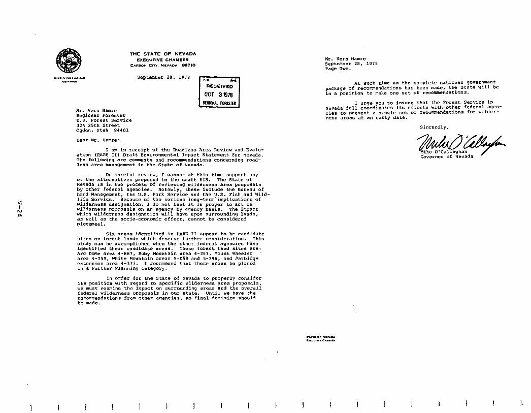
THE STATE OF NEVADA
EXECUTIVE CHAMBER CARBON Cm. NLVADA 89710
September 28. 1978
Mr. vern Hamre Regional Forester U.S. Forest Service 324 25th Street oqdcn, Utah 84401
Dear Mr. Hamre:
I am in receipt of the Roadless Area Review and Evalu- ation (RARE II) Draft EnVirOnmental ImpaCt Statement for Nevada. The following are comments and recommendations concerning road- less area management in the State of Nevada.
On careful review, I cannot at this time supPort any of the alternatives proposed in the draft EIS. The State of Nevada is in the process of reviewing wilderness area proposals by other federal agencies. Notably, these include the Bureau of Land Management, the U.S. Park Service and the U.S. Fish and Wild- 1iEe Service. Because of the serious long-term implications of wilderness designation, I do not feel it is proper to act on wilderness proposals on an agency by agency basis. The impact which wilderness designation will have upon surrounding lands, as well as the socio-economic effect, cannot be considered piecemeal.
Six areas identified in BARE II appear to be candidate sites on forest lands which deserve further consideration. This study can be accomplished when the other federal agencies have identified their candidate areas. These forest land sites are: Arc Dome area 4-667, Ruby Mountain area 4-367, Mount Wheeler area 4-359, White Hountain areas S-058 and 5-296, and Jarbidge extension area 4-373. I recommend that these areas be placed in a Further Planning category.
In order for the State of Nevada to properly consider its position with regard to specific wilderness area proposals, we must examine the impact on surrounding areas and the overall federal wilderness proposals in our state. Until we have the recommendations from other agencies, no final decision should be made.
I I I 1
Mr. Vern Bamre September 28. 1978 Page Two.
At such time as the complete national government package of recommendations has been made, the State will be in a position to make one set of recommendations.
I urge you to insure that the Forest Service in Nevada full coordinates its efforts with other federal agen- cies to present a single set of recommendations for wilder- ness areas at an early date.
Sincerely,
Governor of Nevada
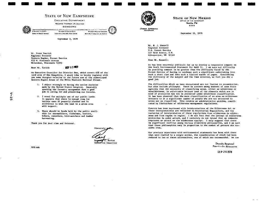
September 2. 1978
t4r. Steve Yourich Roglonal Forester Fastern Region, Forest Service 633 U. Uisconsin Avenue nilvaukee. Yisconsin 53203
Deer Hr. Pixich:
As lhecutive Councilor for District One. which covers 622 of the land Brea of New Hampshire. I would like to hereby register with you some thoughts relative to the future “se of the undeveloped Eastern Re@fl Areas of the Vhite Mountain National Forest.
1. I object stP3IISly to haVi,,g the entire decision made by the United States h,gKeBB. Generally speaking the forestry management does a good job in Caring for and preserving our fOKeBts.
2. I stand for multiple use of our public lands. It eppears that there is eoouSh room for vsrious useB if properly planned and in accordance to what the land In e given area will support,
3. There should be lands held by the public evail- able for snovmobilers. fishermen, hunters. hikers, canoeists, bird-vatchers and lumber flarvesting.
Tfumk you for your time and interest.
Sincerely
4 8,
Rs . Burton F.x iv.2 Cmmcllor
September 22. 1978
Hr. N. J. tlassoll ReSiOnB1 Forester U.S. Forest Service 117 Cold Avenue, S.Y. Albuquerque. NPI 87102
Deer Hr. HBssell:
It has been extremely difficult for us to develop a respooslve casnent on the Draft Environmental Statement for RAKE II. I ma sure our difficulty in providinS ccnmneot is no greater than the difficulty faced by the Forest Service of having to condense such B BiSnifiCBnt undertaking into such B short time and into such B limited number of pages. Considering the difficulty of the subject and the time allotted, we feel you did B good job.
The difficulties which we have encountered Bre not limited to presentation. but also include philosphy. There is concern smong members of some State agencies that the necessity of classifying arem. either as wilderness or nonwilderness. is unfortunate because some of the elements which are In need of protection may not be protected under wilderness ‘classification. It has been observed that the mere classification of an BreB Bs wilderness attracts to it B significant number of people who Bre not attracted to BreBs not so classified. This creates 80 admioistrstive problem, compli- cated by limitations of wlldernesa W3tMS.30eM W.gUhtiOnB.
Concern has been expressed vlth interpretations of the Wilderness Act as these interpretations are reflected in Secretarial Regulations, end the varietion of interpretation of these reSUlBtfOi?s from wilderness to uilderY ness and from region to region. I do not feel that the concept of wilderness protection IS undet ettsct. and I certainly do not intend that my comments represent Bn attack on the wilderness cpncept. I only s”SSest that there is Significant conflict m0nS various wilderness philosophies. and I am sure that these philosophies vary in proportion to the number of persons who con- sider them.
Our previous experience with enkmmental statements has been with those that were limited t.a B single action. the consideration of which had been reduced to two or three alternatives, one of which was recommended. we CB”
RSB: Bok
Hr. tl. J. Hessell 2 September 22. 1978
appreciate that if this had been done with RARE 11, it would have resulted in the preparation of 2.686 Individual enviroomeotal statements which vould have created a mountain of paperwork greater than some of the mountsins being reviewed.
The 10 alternatives which have been offered in the RARE 11 Environmental Statement are perhaps appropriate for the first cut in the decision-making process, but it is not possible for UB to endorse Boy of the 10 since they do not permit Bo interrelationship of the criteria considered. The consider- ation of the reviewed roedless areas in New Mexico is further complicated by their being considered in the multicounty BreB groupings.
Ye recognize the serious responsibility of reviewlog the RARE 11 statement and of presenting to you comnents which represent the most objective posltioo possible for Hew nexico. In doing this, it has been necessary for ue to consider the broad constituency which we Berve. 1 am sure that you CB” appreciate. as well as we, the highly controversial nature of thfs subject. and that the position taken by our Administration or by the Forest Service is certainly not going to be completely accepteble to all persons concerned. Hopefully. the position we take. aod the position presented to you by the public, will result in the Forest Service taking a stend which es nearly 8s possible addresses all of the demands that Bre pieced on our natural re- sour‘ce~ today.
%
As Covernor, it is necessary for me to consider not only the necessity.to protect wilderness values for the enjoyment of present end future generationa. but also the social and economic impacts which various land management Bt?BtegieB on federal lands have on the present end future quality of life of our citizens. Since eucb B EignifiCe,,t percentage of NW Hexico is in federal ovoership. It Is necessary for us to take a strong position on the development of management decisions for these lands so that the management will be Bs compatible BB possible with the q e”eSme”t of the lends owned by the State. those lands in private ownership. and those laods in other federal ovnership.
Our problems here in New Mexico Bre quite obviously different from those in other stetes. and especlelly those states in the Eeet where the ereas of federally-owned lands represent only B smsll percentage of the state’s total acreage. Almost 900.000 BcreB of the State’s land Brew are already classified BB wilderness snd so addltional 300,WO plus Bcres Bee the subject of proposed wilderness le&BhtiOn. The RARE 11 inventory includes B little more then 1.800.000 *cres. These BreBs represent screages larger by far than the total acreages of some eastern states.
A large number of State employees have been assigned the responsibility of examining the draft statement in detail to consider the alternaclves presented, and 8s well BB possible. the impact which these various elternetives would have on energy, minerals. livestock Srering, wildlIfe. forest products, water
I I I 1 I 1 I I
Hr. “. J. Hessell 3 September 22. 1978
resources, recreation end the future development of our State. Consider- ation of this broad spectrum identified that, 88 one q iBht have expected. there is difference of opfnlon even within the Administration of the reletive importgnce of these various uses.
Comments and correspondence from agencies end individuals indicate that inadequate data is presented upon which to base an evaluation of the economic impact that vould result from including high resource value BreBs into the Wilderoess syetem. An evaluation of economic impacts based on current practices as opposed to potentlal practices raises questions. The identification of jobs involved on a statewide basis as insignificant. over- looks the critical economic impact on the depressed local areas of the State where response to the need is most difficult. The expression of reduced output of timber, q inerels. and livestock grazing 88 B percentage of the State’s total, does not take into consideration the effect that these re- ductions might have on individual units of operation. It is entirely possible that many of these reduction8 considered individually would have the effect of reducing an economically feasible unit to a level that vould force the cancelletion of the entire operation.
In consideration of the effects of wilderness classification oo wster resources. it has been pointed out that current and future plans for water ceBootce development in the State are extremely critical to the State’s welfare--this is 8 need to which we must give high priority. The Water Resources Division his furnished me with B list of projects which would be affected by the vilderness classification of roadless areas. These are the Hooker Reservoir site. or suitable alternative; a reservoir site for domestic water supply for the town of Cuba on the Rio Puerto; the Guadalupe Reservoir cite on a tributary to the Jemez River; Cochiti Reservoir on the Rio Crande; Bn uonamed reservoir slte on the Rio Santa Barbara above Penasco; and the potential Red River-Eagle Nest diversion that would divert water from the Red River et its forte for transmission to the Cimerron Creek drainage.
With regard to mineral and energy development in the roadless 8~88, we KeCOSniZe the difficulty of eBtimBtiO8 the future commercial value of such resources on the basis of currently available data. The U.S. Department of Energy has broadly estimated the potential for mineral and energy development in the roadless areas. and baa concluded that there are no “Very Important” areas in the State, but .that 63 of the 82 roedless areas could have potential for development. These designations should be examined more thoroughly to establish priorities where possible.
Despite the lack of hard data on energy and mineral resource potential in the roadless areas and uncertainties regarding the future commercial value of such resources, we are skeptical about Forest Service conclusions in the Draft Enviromnental Impact Statement that wilderness deBiSnation wuld have B “Stt3tiStiCdly iM,iSnifiCont” economic impact on the State. This conclusion is based 0” a” analysis of existing OutpUts rather than potential outputs and does not adequately reflect the value of econcrmlc opportunities fOreSOW
I 1 I I I I I
c t!l 4
ii?. ii. J. Hassell 4 September 22. 1978
through wilderness deslgnetioo. Ye plan to reserve our final comments on specific areas until the Forest Service recormnendetlons ere publlshed in the fins1 EIS, et which time we will seek to identify from the best svall- sble information whether the potential for q lnerel or energy development in the designated wilderness erees is significent.
In considerinS the RhRE 11 process, it eppears that need for wilderness has been sssumed rather then demonstrated. One of the primary uses of wilderness Is recreatlonsl. If this point ten be eccepted. it is necessary to consider the quantity and quality of recreational opportunity needed and available on national forest lands end how this need will be effected by wilderness classif lcstion.
In considering the impacts of wilderness classlficstlon on wildlife. it is oecessery for us to review the Impacts of currently classlfled vllderness sress on vlldllfe management. The position of those persons who advocate no management in wilderness areas ten be apprecieted end. certeinly. if e total ecosystem not effected by man could be established. then the balances or classic imbalances of nature that effect wildlife could be oermitted. It must be recognized. however. thst the continued use of the wilderness areas by man does have en lmpect on wildlife populations that require continued husbandry, end quite frequently the regulations associated with wilderness management prohibit or interfere with this activity to the extent that wildlife is not necesserilr benefited bv wilderness classlflcetion. The identification of a limiteb number of species es “wilderness wildlife” is a subjective judgment and overlooks the feet that e wildlife ecosystem is made up of all species of wildlife which occupy thet ecosystem end interact there with each other and with their food supply. In all ereee effected by man’s ectlvlty it is necessery for man to compensate for these activities lo vhat- ever vey la indicated, thus the q anegemeot of vlldlife. even In wilderness areas. is necessary to their velfere.
Uy office has received quite e bit of correspondence from all segments of the public eector ccmnenting on the effects of wilderness classificetlon on their daily lives. as well es the local economy. Outstanding among these is correspondence from citizens from the southwestern pert of the State who feel that need for wilderness in that eree has been more then satisfied.
Taking the narrative vhlch is presented here into consideration. the recm- mendatlons of the State of New Hexico ere es follows:
1. The roadless erea evaluation process be considered complete. The final lmpect statement include specific recommenderloos to the Congress of erees proposed for wilderness claaelficetion. The remeinder of the erees be returned to multiple-use status.
2. The ereas recmrmended for classification be limited to those of low resource velue. except lnthosesltuetions where need for wilderness ceo
tlr. !I. J. Ysssell 5 September 22, 1978
be demonstrated. Need, lo this case. would include unique ecosystems or features which ere in danger of being destroyed if normal multiple-use practices ere allowed.
3. Any further consideration of erees for inclusion in the wilderness preservation system be conducted under specific Congressional authorities.
4. The welfare of the total citizenry of the State of New Mexico be considered lo the decision-making process.
If eny of my staff or members of any State agency can asslat you in your further evaluation of this question and in the preparation of the final state- mew, please know that we ere available. because we recognlre the magnitude of the job with which you ere faced end the significant impact which it may have on the State of New Hexico.
Sincerely.
e
JA: wsh
STATE OF NORTH DAKOTA EXEC”TlVE OFFlCE
BISMARCK
August 31, 1978
I
The Honorable Bob Bergland Secretary of Agriculture U.S. Department of Agriculture Washington. D.C. 20250
Dear Secretary Bergland:
The following is the position of the State of North Dakota with regard to the Roadless Area Review and Evaluation (RARE II) which is currently being undertaken by the U.S. Forest Service. Additional ccmsnents are also being prepared by a number of North Dakota Natural Resources Council Agencies under the official A-95 Review process.
The RARE II Draft Environmental Statement and North Dakota Supplement indicate that twelve (12) additional areas in western North Dakota have the potential of designation as "wilderness areas' and are to be incor- porated into the National Wilderness Preservation System. If these areas in the Little Missouri Grasslands are designated as wilderness, unnec- cesary economic and environmental hardship will be imposed on the citizens of western North Dakota and state government. The following are problems that have been identified as indicative of the difficulties that Hould result if these areas were to be designated as wilderness:
1.
2.
3.
4.
5.
As a result of the illegality of motorized vehicle usage in a wilderness area, adequate access to state or privately owned lands within the twelve designated areas would not be permlssable.
While grazing would appear to be allowed, it would diminish or become entirely extinguished in the twelve areas because livestock improvements, such as adequate watering systems, could not be maintained.
Responsibility for a system of prevention and control of fires in the grasslands is not clearly indicated.
The usage of necessary pesticides and herbicides would be prohibited in the areas.
Recovery of valuable mineral resources (coal, oil, gas and uranium resources) would be eliminated.
I I I I I I I
The Honorable Bob Bergland Page Two August 31. 1970
As Governor and Chairman of the North Dakota Natural Resources Council, I cannot support RARE II as it pertains to North Dakota. I would oppose the designation of any of the twelve proposed areas in western North Dakota as "wilderness" by the U.S. Forest Service. However, I will continue to support multiple use management by the Forest Service in North Dakota as pmvided under the previous Little Missouri Grassland Study and the Badlands and Rolling Prairies Management Plans. These original management plans are highly effective and any deviation fran or duplication of these efforts is clearly unjustified at this time.
I also support the extension of the public comment period 60 days beyond the original October 1, 1978, deadline. I believe this is necessary to insure adequate public participation and reaction to RARE II.
I trust that you will take our position into serious consideration in your evaluation of RARE II in North Dakota.
Sincerely yours,
ARTHUR A. LINK Governor
AAL:rj
1 I I I I I I
OFFICE OF THE GOVERNOR
.,A,1 ClCllOL
..I.,” D”lCD” .lllD
September 29, 1979
John R. HcCuire Chief Forester U.S. Department of Agriculture P.O. BOX 2417 Washington, D.C. 20013
Dear John:
Enclosed are copies of Oregon state agency comments on the Oregon RARE II E.1.s. I have provided Dick Worthington with a coov of the taoed record of a hearina that I held in Eugene Sepiember 13, i978. During 13 hours; 125 people testified and additional persons appeared. From this hearing and the Oregon State agency comments I intend to develop an Oregon position that I personally can defend. As an indication of the high level of interest in Oregon about RAW, II, there was a meeting in Roseburg,
.Oregon which attracted nearly 1500 people.
I cannot, in good conscience, endorse either extreme positions urged upon me: that all or none of the remaining road- less areas on the national forests in Oregon be recommended for designation as wilderness by Congress. I must make choices. These choices are crucial to Oregon. They must b-s based on accurate data. They must be based on detailed information on some specific areas.
Therefore, I am unable at this time to make the re- sponsible recommendations that this important study demands, because of the lack of adequate information from the U. S.
* Forest Service in the Draft E.I.S. I understand that the data will be revised shortly after the October 1 deadline, and I feel that my decision must rest on this revised data. In addition, I ask that the U. S. Forest Service provide me specific recommendations for possible partitioning of large roadless areas possessing both subareas with high wilderness values and others with large timber volumes. I cannot make my final recommendations until the U. S. Forest Service produces the information I need.
Oregon is a bountiful state, with some of the finest natural resources in the nation -- vast forests, pure water, and the best of outdoor resources for recreation. Perhaps most uniquely, we have mountain ranges within easy reach of our population. All of us go, mostly to the Cascades, but also
John R. McGuire Page 2 September 29, 1978
to the Ochocos, the Elkhorns, the Blues, the Wallowas, the Coast Range and lesser known areas. We fish, we hunt, we camp, we hike and climb. We also need these forests for our most significant economic base. And much of this bounty -- both the forests and the recreational opportunities -- is on national forest lands. That is why what happens as a result of this evaluation of our remaining unroaded areas is so important to Oregon.
The State agencies' comments and the 13 hours of testi- mony I received demonstrate the conflicts among citizens of this state over the management of our public lands. For example, the State Parks Branch suggests nearly 1 million acres be con- sidered for possible wilderness designation to meet recreational needs. The Fish and Wildlife Department feels that 400,000 acres as wilderness are vital for resource habitat and that many additional management constraints should be imposed on other areas. Both the Economic Development Department and the Depart- ment of Forestry urge that no recommendations be made that reduce the commercial forest base upon which the economy of the State depends and that these lands should be managed for increased timber production. I have an obligation to balance these con- cerns and make recommendations that I feel will best serve the needs of all Oregonians.
Oregonians are active users of the public lands. By the thousands they retreat each weekend or holiday to little-known, favorite spots for relaxation, challenging adventures, beautiful vistas. Blessed with a reasonably moderate climate, we can enjoy these outdoor recreational resources nearly year-round. During our long tourist season, our forests and our other public lands are the drawing cards that attract millions of visitors to Oregon. Many, if not most, come for the unique outdoor experiences afforded. We must preserve a plentious variety of quality out- door recreation opportunities.
Wilderness, of course, is not required for many types of recreation and is inappropriate for some. But our existing wilderness areas, established in 1964 and enlarged last year, have an honored place in Oregon's outdoor tradition. They have been identified and managed to preserve their unique qualities since the 1920's when they were known as "limited' and "primitive.' Later, before the passage of the Wilderness Act, they were adminiatrativelv recocnized as either 'Wilderness" or "Wild.' And those that have now been formally designated as 'Wilderness' by Congress increasingly are overused. We are faced with permit systems we find restrictive, and the signs of too much human intrusion. Today, more people than ever before have the money, the time, the modest equipment and skill necessary to enjoy a wilderness experience. In addition to serving several hundred thousand back-packers in Oregon, wilderness provides day-hiking
John R. McGuire Page 3 September 29, 1978
John R. McGuire Page 4 September 29, 1978
c
c: 0
I 1
for many more car-campers. It frequently helps preserve the high quality water so necessary for our fisheries, a resource enjoyed by Oregon's 700,000 licensed fishermen. There are 300,000 licensed hunters in Oregon. Many hunt on our wilderness and roadless wildlandst and the wildlife they seek use these lands for cover and habitat. The long-range needs of the people of Oregon require more wilderness , and the unroaded lands in the RARE II study are a portion of the finite supply of wild lands available to fill these needs.
On the other hand, these unroaded lands contain sub- stantial amounts of harvestable timber previously untapped for management. Between 8 and 9 billion board feet of timber are harvested each year in Oregon. Of this, 2.5 to 3 billion come from the national forests. The lands currentlv under studv in RARE II are capable of producing 384.1 million-board feet.- Oregon's economy is based upon timber. In many small communities of the state, it is the sole industry. Commercial forest lands that are capable of producing timber economically and on a sustained yield basis should only be designated as wilderness where there are overwhelming wilderness values.
In reviewing various candidates for wilderness status and the factual information available from the Forest Service and from my State agencies , several areas stand out as capable of producing timber from one sector , while another portion might be designated as wilderness. The Department of Forestry has identified areas as caoable of boundarv adiustment which would permit a portion impor‘tant for timber iuppiy to be managed to meet that need, while making the balance available for a sure restricted management classification. Some of these might have a substantial impact on the state's timber supply or on a local timber shed. but thev also have been aooraised as meetino wilder- ness selection crite;ia, with a significant capability for serving recreational or fish and wildlife needs.
I would ask that your staff develop several partition proposals designed to protect the corrrmercial forest base, while preserving the wilderness values for each of the following areas:
6095 Salmon-Huckleberry 6132 Windigo-Thielsen
-6253 North Fork of the John Day 6273 Twin Mountain l
6106 Waldo 6097 Badger
. I am particularly interested in a management scheme for this area which will assure protection of the Blue Mountain ridge trail along the Elkhorns.
I I I I 1 I
Convincing testimony was presented to me urging classifi- cation of the Joseph Canyon area as wilderness. I would like the U. S. Forest Service to re-examine their land use planning decisions and reconsider this area for wilderness.
When .I have had an opportunity to review the partitions you can suggest and the most accurate data available, I can confidently make my recommendations as to which lands in Oregon I believe should be added to the wilderness system.
To a minimum extent, these will negatively impact our timber supply. I would emphasize that we in Oregon cannot accom- modate erosion of our timber base without suffering economic repercussions. However, we do have some untapped capability to redress such losses.
Although significant and commendable improvement has been made in recent years in the management of national forest lands, most of these lands in Oregon are still under-managed. It is important that these lands obtain the full funding required to meet RPA goals. These lands are now understocked or unstacked. They would profit from thinning6 and fertilixation. They are neglected by the Forest Service because of the lack of funds and manpower for intensive management. With prudent planning, de- termination and the cooperation of Congress in appropriating sufficient funds, any loss of harvest we suffer from wilderness designations can be compensated through the intensive manage- ment on other more productive and already roaded national forest lands. I have worked extremely hard and with some success in urging this course on Congress and the Administration. I pledge my continued efforts to do so.
Other values in addition to timber are noted in some of the enclosed analyses and statements. Oregon has minimal deposits of presently exploitable mineral resources. In cases where deposits are identified and economically viable, they should be a consideration in the wilderness decision. Grazing, watertihed values. and wildlife habitat needs also deserve consideration. Bowever, designation as wilderness does not exclude grazing or hunting. Although no timber harvest and no exploitation of mineral resources unlocated before 1983 are permitted, wilderness lands are not unmanaged. They are instead managed to permit people, livestock and wildlife uses, restricted only to the extent necessary to assure that the wilderness values be maintained. Where cattle grazing is a significant activity, I would recommend its continuance at an appropriate level.
I I I 1 I I
John R. HcGuire Page 5 September 29, 1978
I would like to avoid the designation of -areas for further study.' I feel that prolonging the decisions on many of these areas is counter-productive. In some cases, however, studies are currently authorized or under way. In those cases, I do not expect to include a corauent in my recommendations with respect to RARE II areas. I endorse studies for Bull of the Woods and Boulder Creek, two areas Congress has indicated for further study, as needed to define appropriate boundaries and to assess economic impacts as well as wilderness values. Also being studied pursuant to other federal directives are the areas in and adjacent to the Hells Canyon Recreation Area and the Lower Winam. Again, I do not believe that comment within the RARE II process is appropriate.
I especially want‘to draw to your .attention State agency comments about desirable and alternative levels of management. Some instance characteristics relating to the special needs of Oregon hunters and fishermen, as well as hikers, back-packers, skiers, and others who enjoy and use the outdoors. Others describe possible adverse impacts on communities now designated as economically lagging areas, in many instances because of declining timber supplies. The State Parks Branch has recommended that some areas not be desianated wilderness because of their oarticular vile for
::
llpre-developed types of recreation. WI-ti the possible ex- ception of Metolius Breaks, I am inclined to agree with their
W recommendations. A
I vi11 appreciate your providing the additional infor- mation I have requested, and pledge my continued cooperation in order that your study may be promptly concluded and reported to Congress.
Sincerely,
RWS:bh
STATE OF SOUTH DAKOTA
September II, 1978
Mr. Craig W. Rupp, Regional Forester
united States Department of Agriculture
III177 Wesl 8th Avenue
P.O. Box 25127 Lakewood, Colorado 80225
Dear Mr. Rupp:
” : . ,I .7 _ . _I . ..’
El
, (:!‘I’: ,. .I., i
,/. .- I. , . ._.. ..:a
The State of South Dakota has compleled its review of Ihe U.S.D.A., Forest Service
Draft Envlronmenlal Statement concerning Lhe Roadless Area Review and Evaluation (Rare II), and our recommendations follow:
The area idmllfied as the Norbeck be allocaled to wilderness and Ihe remaining foui‘ areas lo responsible multlple use management for the maxlmlzalion of all potential u&s.
We support deslgnallon of Ihe Norbeck area as wilderness. This area of all the Saulh
Dakota areas can be best Vansformed into wilderness. Because of certain human In=
fluences, practices will have to be implemenled lo give this appearance of an undis-’ turbed area. We recumnend management of the Norbeck wilderness Include the follow--
lng criteria: 1) Ihe non-indlgemus mountain goat population, and all other resid$
wildlife, be maintained under authorily of the state. 21 existing road culs and fills
be obliterated. 3) midway piclnic area be removed and obllteraled. 4) Ihe Lost
Cabin-Pine Creek barbed wire fence be removed. 5) syslan trails be evaluated and
Inappropriate lralls obliterated. 6) vlsllallon be cmlrolled lo maintain a qualily wlld-
erness .experlence. 7) natural occurring elements be allowed to return the area to
19th century cmdltlons while malntainlng proteclion of adjolnlng federal, state and private land.
Should I1 not be possible lo manage the Norbeck area as a quality wilderness due to physical, legal, financial or environmenlal limltallms, we would prefer lhis area cm-
llnue lo be managed as a natural area reserved fran normal timber management practices
and timber managed for esthetics and wildlife producllon
As to the three deslgnated giassland areas Identlfled as Red Shirt (9,520 acres), Cheyenne River (8,010 acres) and Indian Creek (20.670 acres), Ihe Stale recommends these areas
be managed under multiplL use with enphasls placed on those practices lhat provide maxl- mum on-site public beneflls. Current management of the aforementioned grassland areas
overemphasIzes grazing of domestic livestock.
Mr. Gralg Rupp
Page Two
September II, 1979
A substantial reductlm In AUM’s Is necessary to accomplish on-site public benefits. Improved management prsctlces, lncludlng continued malntmance of exlstlng stock dams
and roads should be -raged. However, vehicular traffic for non-management
should be rlgldly controll+ and restrlcted. If provided only the choice between cur-
rent management and wilderness, the State would endorse the wilderness deslgnatlm.
The State recommends that the area Idmtlfled as Beaver Park not be deslgnated as a
wilderness area due to Its locatlon In the watershed of Sturgis, South Dakota, Its size [SO00 acres), private lnholdlngs and other factors. This area should be managed under
multiple use with maxhnlzed benefits for all potentlel uses.
The State of Scuth Dakota supports the concept of wilderness as defined In the Wllder- ness Act of 1964 and ddlnlte efforts at ldmllflcatlon of all potential wilderness land under the Jurlsdlctlon of Forest Service. We are cognizant that areas In South Dakota cannot quallfy for wilderness under the more rlgid standards of the ‘64 Act. However, under the more liberal criteria of (Rare II), It Is our cmtmtlon that the Norbeck area, with the management crlterla f&evtously stated, will qualify and should be designated as wllder- ncss ares under Rare II.
The State of South Dakota appteclstes the opportunity to pmvkia oplnlons of suitability of ldentlfled areas for lncluslm In the Na!!mal Wilderness Preservatlm System.
Sincerely,
ii?Fitik. N
GOVERNOR
HW: jrd
cc: Members of the Natural Resource Cabinet Subgroup
1 I I I I I
OFFICE OF THE GOVERNOR
September 22. 1970
Ur. John A. Courteoag, Eoresc Supervisor National Forests in Texas P. 0. Box 969 Lufkin. Texas 75901
Dear llr. Courtermy:
The Draft Envirormentel StaLemzof noadless Area Review and Evaluation II ban been reviewed by intereeced State apncies. Your Environmental Inpscc Statement Number la 8-006-027.
Coumente were eubmicted by the Texas Parke and Wildlife Department, the Public Utility Camission of Texas. the University of Texas Sureau of Bconomic ceologg. the State Departmeoc of Highways and Public Transpor- tation. the Texas Department of Water Resources. the General Laml Office, the Texas Natural Resources Couacil. the Texas Depsrcment of Agriculture. ehe Texas Forest Service, end the Texas Tourist Development ASency. Copies of these fcamenm are enclosed for your iafoma~lon.
If thin Office cao be of further service in this matter. please coneact im.
Sincerely,
Roy Eggen. Assistant Director Budget end Planning Office
I
STATE OF VERMONT LIbx”TI”C OEPARTYL”,
YO*TCILIm.. Y.“YOIc1
September 29. 1978
Mr. Steve Yurlch Regional Forester U. S. Forest Service 633 West Wlsconsln Avenue Milwaukee, Wlsconstn ‘53203
Dear Nr. Vurlch:
Transmftted. hereufth. Is a statement outlfnfng the posftlon of the State of Vermont with respect to the Roadlesr Area Review and Evaluation II for the ldentlflcatlon and allocation of wilderness areas on the Green Mountain National Forest.
We are pleased to have had the opportunity to partlclpate in the Review. and are hopeful that the recormendatlont made ~111 be helpfut to the Forest Servfce and the Unfted States Congress fn arriving at wise de&ions for the management of the National Forest In this state.
He again offer the full support and cooperation of the State of Vennont to the Forest Service In the adminlstratlon of the Green Ibuntaln National Forest.
Enclo&lre cc: Senator Stafford
Senator Leahy Mr. Jeffords Hr. McGulre Hr. hfrdle
acs eaf3
IWAOIXSS AREA REVIW AND EVALUATION II
FOR
‘IlIE GREEN MOUliTAIN NATIONAL IWCZET
statement from: The state or Vermont
I. INIXOPINXION
The State of Vermont fully supports the concept of sllderraess and the
need for ldentiflcstlo”, classlfIcstio”, and dedlcatio” of wilderness areas
I” the National Forest System In general, and on the Green Yountaln National
Forest In particular. Wilderness 1s one of the many proper uses of the public
lands and should be one of several primary co”slderatio”s I” the lend use
planning process.
The State Is In favor of the full range of appropriate "se8 for the lands
within the Green Mountain National Forest Including u”epolled rOadlees areas
where human intrusion Is limited.
The real Issuee raised by “Rare II” are not the desirability of wilderness
in the abstract but rather by shat process wilderness shall be designated end - r *i _
set aside, how much sllderaess Is appropriate, In Vermont. what criteria should:;: ,. G
he used In evaluating wilderness and follc4ng that which specific areas should
he considered. It Is the position of the State of Vermont that these Issues
are not setisfactorlly addressed in the *Rare II” proposal.
I” making wilderness designations, recognitlo” must be given to the variety
of deflnitione and the very personal, eubjectire nature of this concept: ranging
Zrom the highly refined vision of the “purist” to the broad and general Ides
of the urban and rural dweller who may be barely familiar with the ten”.
lilderneas has been described hietorlcslly I” terms of eiee, “roadless-
ne~s,~ land “se, ecological eysteme and in terra of human experience among others.
The planning and desigwtio” process follwed on National Forest land should
provide far a mix of opportunities to offer the diversity of experience under
the general heading of “wilderness” necessary to setisfy public needs. These
c l!J P
-2-
public “eeda are particularly pressing In the northeastern United Btates mad,
thus, mandate especially cenful and respa”sIb1.a decieioas.
In arriving at such deeigantioas, the decisionalfag P~CBBB muet strive
for equal conaideratlon of other primary uses of the public land. 8tmn2 and
rstlonal arguments can, and are being made for and against additional rildernees
in Vermont. It In the 8tste’s position that B very deliberate analysis is
necessary to achieve the aatlefactory bela”ce~vhIch society requires. The
folloving factors varra”t careful coasldemtlo” durl”2 the classification pm-
cess for the Green Youatsi” National Forest.
II. BABIC PIHDIIfG3
(1) The requiremsnte for additional vllderness 1” Vermont should be
balanced againat those other public .re.s vhlch can contribute a~ opportunities
for mlch experience. I” ndditlo” to the 17,ooO acres I” the Green Mountain
National Forest already clsselfled aa rlldemess, Vermont has 18,000 acrea of
state lends deelgaated as “Nat’ural Areas” and offers such public lands 8s
Victory 205 Tlldlife lPnn2eme”t Area (5.000 acres) and Camel’e Bump Btate Park
(15,OGG acres) for places of remotenese end solitude. Nearby .reas In New York -
the Adirondack Preserve (1,000,000 acres): Rev Bumpshire - mite Mountain
National Forest (20,GOO acres): Massachusetts - Mt. Greylak Reservatio” (2,OCQ
scree); Maine - Baxter Btate Park (250,000 acres) end Allagash Wildemese
Waterway (38,GOO), all provide further opp.xtunltlea for thie traditional vllder-
ness experience for people In the “ortheaet.
(2) The 8tste of Vemwt presently is mrking with the Green YOu”taIn
National Forest staff I” Its unit pla”“i”2 process end recreational composite
pla”“Iw I” concert vith the etate’s Comprehensive Outdoor Recreation Plan.
lildemeas designations should be sddreseed carefully and be conaiatent vith this
plan.
(3) Vetmoat statutes require munlcIpnl and state approval before any land
I I I
for the Green Mountain National Forest Is acquired by the Forest Bervice. A”
addition of lsrge areas of wilderness to the Forest vlthout very careful ldentl-
ficatio” and juetiflcntio” with local participation, eve” thou@ such areas
presently mre In federal ovnershlp, could have serloua Impacts on the orderly
and planned future land ecquisltio” program of the Forest Service. There ale0
could be serious side effects on the State’s public land acquisition plan.
(4) Vermont recognizes that federal land8 In this State should share I”
coatrlbutl~ to meetlag balanced public needs of the Btate, the region and the
nation. 8uch contribution should be In proportion to the size, quality and
availability of lands meeting proper criteria for Ide”tlflcntlon and desl2nstlon
for vilderness or nan-vllderness.
(5) A “umber of slgnlflcaot “Natural Areas” or “Fragile Areas” vhlch
previously have been identified as having great significance and need for pre-
servation and protection exist vlthl” the GHNF. Th*se important ecological
u”lts are “either ldentlfled “or Included la the areas proposed for wilderness
and ehould be give” special conelderatlo” 1” planning the uses of The Poreat.
(6) Increased public “se of the land - both public and private - carpblned
vith changea In private lend ownership patterns and attitudes result 1” greater
pressuree for all “98s of public lands. The conflict between productive uses
and consumptive u.ves of land Is becoming more critical as grovlng demanda f-
an I”cr,eaeI”2 population on a decressiog resource base continue. Resource
allocatlo” 1” an orderly, precise, and controlled system vi11 become increaelngly
important In the future. Such allocations o” private ov”ershIpe primarily ere
set by the “Msrket” and the objectives of the owners. On public lands, resource
allocation more and mori Is being determined la the planning process. Wilder-
“ess allocation Is only o”e aspect of that proceee. Prlvnte lsnd opportunities
and constrslnts should be fully analyzed I” concert vlth the development of
Public land mansgemnt plans.
(7) A” analysis of the Envlrollmental Impact Statement (BI8) has bee” made
I i I I I 1 I I
-4-
with the folluving facts noted:
(a) The mineral resource potential of the proposed areas has not been explored adequately. Before such weas are closed to such possible uses, the potential should be snalyzed.
(b) Vlldlife habitat q snagement would be prohibited I” the proposed areas although hunting and fishing would continue to be Delmitted. The extent to vhlch this nrobIbItIo” would affect hunting and fishing opportunities has not been quantified: however. obaervatlon snd experience would Indicate that B reduction In the numbers and diversity of sildlife would occur. No specific allw- ante hue been made for trapping.
(c) Recreation restrictlons would have some slgoificant impacts locally, particularly In the use of snowoblles. Co”cer”s also have been expressed ioi maintenance and UBB of shelters 0” the Appslachisn end Long Treils.
A 1973 WM report, SNR-RkG!, entitled Outdoor Recreation Conflict In Vermont states that only eight percent of respondents to P survey Indicated that “too many people vere the cause of their olsn recreations1 conflicts”. Discourtesy, safety, trespese, and littering were cited 8s most-common causes of conflicts. Ninety-nine percent Indicated that reglstrstioa of users In a particular area sas the least popular solution.
Cd) Clean Air Act lmplicstIons:
(1) Propoeed RARB II lilderness Areas are presently designated as Class II end may remain as Class II eve” if changed to sllderness status.
(2) If changed’to wilderness status, those tracts larger than 10,000 acres would not be eligible far Class III deaigns- tion.
(3) Any redesignatlo” of a” area classlfIcatlon under the Clean Air Act Is a State option.
(4) Provided the State did not choose to change Class from II to I, q sbing thege areas rllderneee areas would have no effect vhataoever on review of new sources for nlr quality permits.
(5) A sllderness designation of the RARE’11 areas In New Hampshire would CBUSB little impact cm Industrial developeat In Vermont.
(6) Designation of RAM II areas I” Vermont or New Rsmpahln vi11 “ot eaune mandatory retrofit of control devices on any existing Vermont Industry due to vlslbllity impacts.
(7) Future requirements of a vleIblllty protection plan for Vermont I” mandatory Class I nreas are not Increased.
(C: Potential ticker production losses, estinated at 3,73C,COO board feet per year, resulting from wilderness designation would bc relatively minor viewed from the ststevide perspective. However, the approximately 49,OM) acres of commercial forest land removed from production could bnve a significant Impact o” certain local wood-using Industries dependent upon The National Forest for timber supplles. It may be difficult for those local parties so affected to understand and accept such “sacrifices” unless a satisfactory explanation were made and other adequate sources of ras q sterials for industry sere identlf led.
(f) The capital Investment end administrative carrying costs of classifying and holding public land as silderness and in non-productive condition has not been addressed.
III. CGNCLUSIGNS
(1) Wilderness In Vermont is supported conceptually 8s a desirable snd
necessary use of public lands.
(2) There are growing demands for the allocation of all forest resources .
on both public and private lands. These pressures sill Increase.
(3) The economic effects of the proposed wilderness designation of ,.:
additional areas are relatively minor on a statewide basis. but could hive -‘1 .-
negative Impacts on specific locelItIes. These Impacts could prove difficult --.
to relieve.
(4) The effects of the Clean Air Act as a result of wilderness deslgna-
tie” should he minimal.
(5) Opportunities for “wilderness” experience totaling 1,33’1,ODD acres,
are provided by other public lands in addition to designated National Forest
Wilderness in Vermont and nearby states.
(6) Recreational me of public lands, including wilderness 0” the Green
Mountain National Forest, is a” ongoing joint planning effort of the State of
Vermont and the U. S. Forest Garvlce.
(7) Public land acquisition In Vermont is controlled at both the state
and local levels. The uses to shich such lands are put must be seosltlve
to both local and state perce~tloas.
-6- -7-
4 W 6
7
(8) The designation of the proposed area for rildemess should have no
significant e”vlmnme”tsl impacts.
(9) Tbe social and political Impacts resulting from the designation of
large areas for additional rllderness would be significant and are a major
consideration.
(10) All six (6) Bream presently Identified are not of equal slgnlfl-
c*ce. Other units vbich may have significance have not been Identified. ’
ThUS, a more thorough review and snalysls of “wilderness” opportunities rlthi”
the context of other lend management planning conelderations Is appropriate.
IV. WCIXWRNTL4TION
The State of Vermont reccanends that Alternative “A” as identified on
psge 28 of the EI8 for Northern Appalachian and Nev England States, be
modified by substituting the follmlng for the last se”tence:
“No development which would diminish the potential for rilderness designation of these madless areas, regardless of authorized existing rights, or lar, may take place until plans developed through the NEFA process are cmplete.”
The State of Vermont further recorwznds that Alternative “A” 8s modified be
adopted as the method, for the designation of silderness areas on the Green
Mountain National Forest.
During the period of planning appropriste uses vhlch vould not diminish
the potential for wilderness designation would he alloved. Some ~ppropriete
uses might Include hunting, fishing, hiking. backpacking, cross-country
skiing, and snormoblling.
This recmendation should I” no vny be Interpreted to mea” that the
Gtste favors the setting aside of 55,000 acres of additional Wilderness.
, What we intend is B continuation of the present Forest Service Policy. for
these Identified madless areas until each of them has been subjected to
the regular lnnd management planning process. It Is the State’s position that
I I I I I I I I
the land q anagvment planning process for l%e Forest, 8s mandated by the National
Forest Management Act and the Reneveble Resources Planning Act, would best
meet the needs of Vermont 88 sell as B high majority of the Interested and
concerned citizens of the northeastern United States. Under modif led
Alternative “A” the ldentiflr tlon, classlflcatlon, and designation of
wilderness, as well 8s non-wilderness uses. vould be sccanplished In P more
deliberate decision-making process than rould result from the other nine
alternatives. This modified alternative would most effectively mitigate the
social and political Impacts vhich may result from the designation of additional
large areas of silderness. ‘Ihis modified alternatlve also provides for continued
public Involvement which should lead to more acceptable resource allocation
decisions, and thus to riser management of the Green Mountain National Forest
In the public Interest.
If the decision Is to use the land management planning process (Modified
Alternative “A”), se urge the Forest Service to give high priority to
accelerating Its efforts. Thus the initial phases of The Forest Plan CB”
be completed at 80 early date.
(2) Should modified Alternative “A” he chosen, the State, of Vermont would
pledge Its cooperation and services to the Forest Service to the extent feasible In
the development of its plans for the management of the Green Mountain National
Forest. In my event. the State would continue to work closely with the
Forest Service for the wise management of these public lands.
September 29, 1978
I I I I I
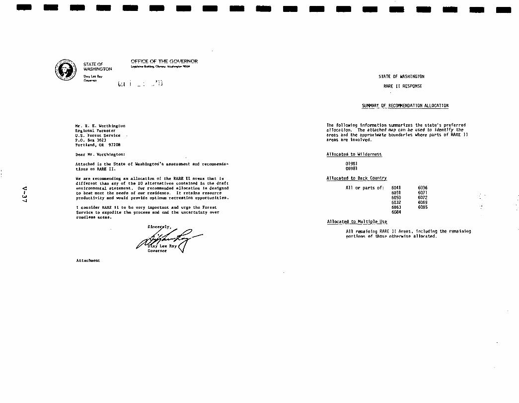
STATE Or: OFFICEOFTHEGOVERNOR
WASHINGTON lryvu-mm.aw-m-
Dw Lrr LV Can- (‘...; “i’;
Mr. R. E. Worthington Regional Forester U.S. Forest Service P.O. Box 3623 Portland. OR 97208
Dear Fir. Worthington:
Attached Is the State of Uashingtori’e assessment end recomenda- time on RARF, II.
lie are recmendiog en allocation of the BARE II areas that ie different than any of the 10 alternatives contained in the draft environmental statement. Our recommended ellocation Is designed to beet meet the needs of our residents. It retains resource productivity and would provide optimom recreation opportunities.
I consider BARE II to be very importaot and urge the Forest Service to expedite the process end end the uncertainty over roadless ereae.
STATE OF YASHINGTON
RARE II RESPONSE
SUt4'4ARY OF RECOMMENDATION ALLOCATION
The following infotmatlon slmmarfzes the state's preferred allocation. The attached map can be used to identffy the areas and the approximate boundaries where parts of RARE II areas are Involved.
Allocated to Uilderness
01981 06981
Allocated to Back Country
All or parts of: 6041 6036 6031 6071 6050 6072 6032 6069 6063 6085 6084
Allocated to Multiple Use
All renalning RARE 11 Areas, including the remainfng portlons of those otherwise allocated.
Attaciment
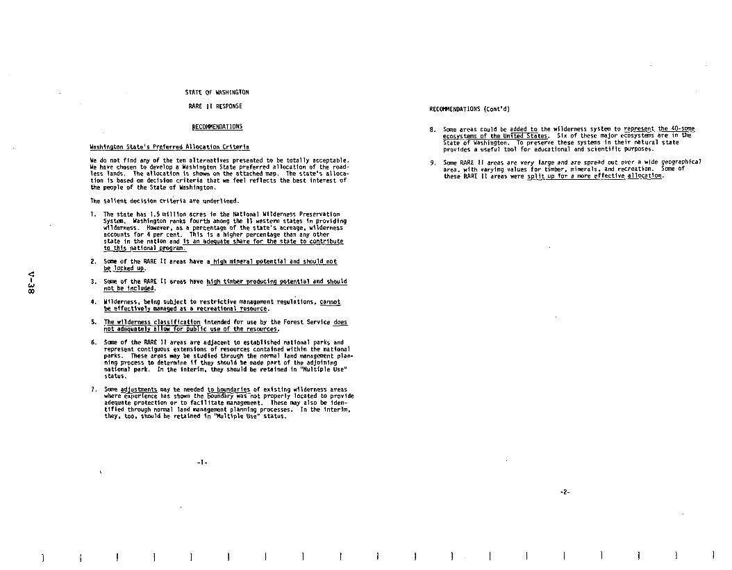
STATE OF UASHlNGTON
RARE 11 RESPONSE
RECOWlENLlATIONS
Washington State's Preferred Allocation Criteria
Ye do not find any of the ten alternatives presented to be totally acceptable. Ye have chosen to develop a Washington State preferred allocation of the road- less lands. The allocation Is shown on the attached map. The state's alloca- tion is based on decision criteria that we feel reflects the best interest of the people of the State of Yashington.
The salient decision criteria are underlined.
1.
2.
3.
4.
5.
6.
7.
The state has 1.5 million acres in the National Wilderness Preservation system. Washington ranks fourth among the 11 western states in providing wilderness. Harever. as a percentage of the state's acreage, wilderness accounts for 4 per cent. This is a higher percentage than any other state in the nation and is an adequate share for the state to contribute to this national program.
Same of the RARE II areas have a high mineral potential and should not be locked up.
Sane of the RARE 11 areas have high timber producing potential and should not be included.
Ullderness. being subject to restrictive management regulations, cannot be effectively managed as a recreational resource.
The rllderness classification intended for use by the Forest Service does not adequately allar for pubric use of the resatrces.
Sane of the RARE II areas are adjacent to established national parks and represent contfguous extensions of resources contained within the national parks. These areas may be studied through the normal land management plan- ning process to determlne if they should be made part of the adjoining national park. In the interim, they should be retained In "Hultlple Use" status.
Sane adjustments may be needed to boundaries of existing wilderness areas where experfence has shown the boundary was not properly located to provide adequate protectton or to facilitate management, These may also be iden- tified through normal land management planning processes. In the interim, they. too, shculd be retained in "kltiple Use" status.
RECOmENOATIONS (Cont'd)
8. Sane areas could be added to the wilderness system to represent the 40-SOme ecosystems of the Unmtes. Six of these major ecosystems are in the State of Uashlngton. To preserve these systems in their natural state provides a useful tool for educational and scientific purposes.
9. Sane RARE II areas are very large and are spread out over a wide geographfcal area, with varying values for timber, minerals, and recreation. Some of these RARE II areas were split up for a more effective allocation.
-l-
-2-
I I 1 I I
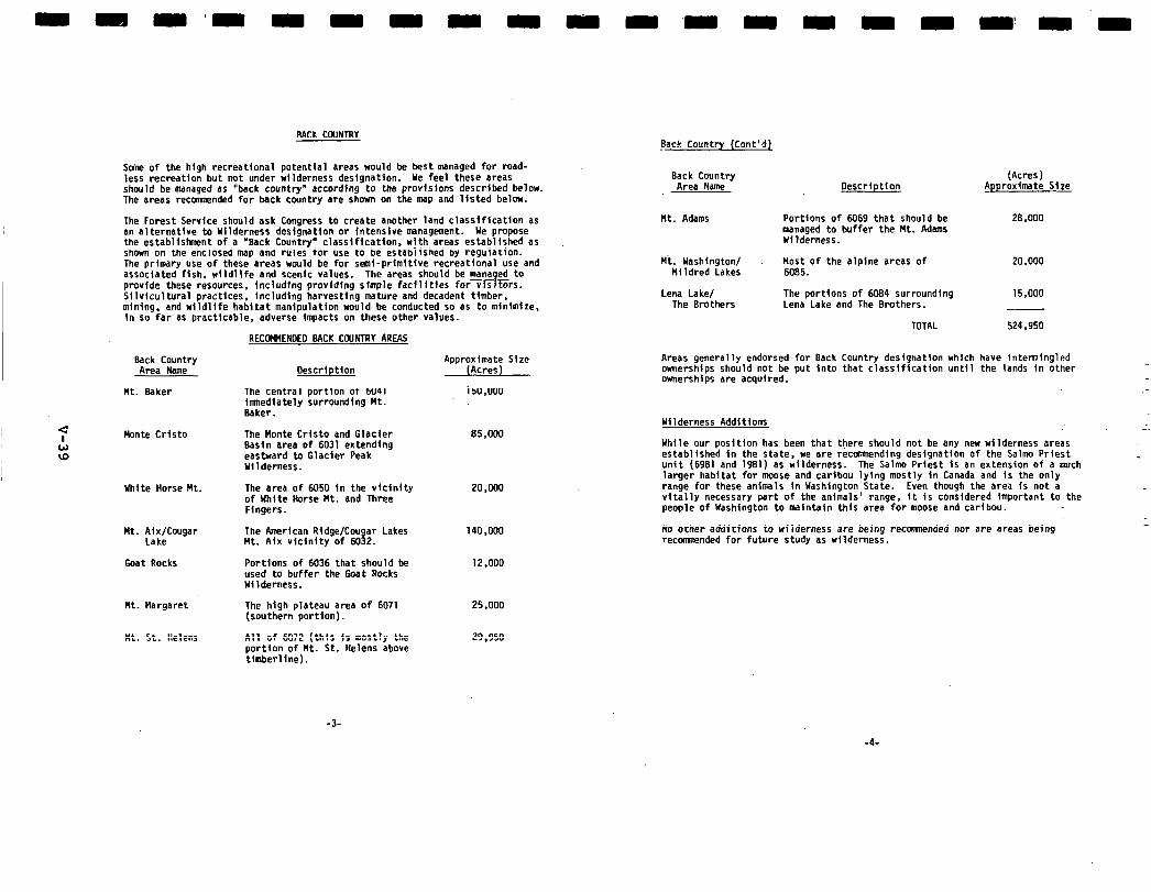
BACK COUNTRY
Smim of the high recreational potential areas would be best managed for mad- less recreation but not under wilderness designation. Ye feel these areas should be managed as "back country" according to the provislons described below. The areas recomnended for back country are shown on the map and listed below.
The Forest Service should ask Congress to create another land classification as an alternative to Wilderness deslgnation or intensive management. We propose the establistmmnt of a 'Back Country' classification. with areas established as shown on the enclosed map and rules for use to be established by regulation. The primary use of these areas would be for semi-primitive recreational use and associated fish, wildlife and scenic values. The areas should be managed to provide these resources, including providfng simple facilities formrs. Silvicultural practices. including harvesting mature and decadent timber, mining, and wildlife habitat manipulation would be conducted so as to minimize. in so far as practicable, adverse impacts on these other values.
Eacc,cou&ry
Mt. Baker
c L!J
Honte Cristo
ID
Uhite Horse Ht.
Ht. Aix/Cougar The American Ridge/Cougar Lakes Lake Mt. Aix vicinity of 6032.
Goat Rocks Portions of 6036 that should be used to buffer the Goat Rocks Wilderness.
Mt. Hargaret
Mt. St. Helens
RECCWEKDEO BACK COUNTRY AREAS
Description
The central portion of 6041 imnediately surrounding Ht. Baker.
The Monte Crlsto and Glacier Basin area of 6031 extending eastward to Glacier Peak Ulldemess.
The area of 6050 in the vicinity of White Horse Mt. and Three Fingers.
The high plateau area of 6071 (southern portion).
All of 6072 (this is mostly the portion of Mt. St. Helens above timberline).
Approximate Size (Acres)
150.000
85,000
20,QOO
140,000
12.000
25.000
29.950
Back Country (Cont'd),
Back Country Area Name Description
(Acres) _Approxlmate Size
Mt. Adams Portions of 6069 that should be manaaed to buffer the Ht. Adams Wfld&ness.
28.000
Ht. Washington/ Most of the alpine areas of 20,000 Mildred Lakes 6085.
Lena Lake/ The portions of 6084 surmundlng 15,000 The Brothers Lena Lake and The Brothers.
TOTAL 524.950
Areas generally endorsed for Back Country designation which have intermingled ownerships should not be put Into that classlflcation until the lands in other ownerships are acquired.
--
Wilderness Additions .
While our position has been that there should not be any new wilderness areas established in the state. we are recoamendina desianatlon of the Salam Priest unit (6981 and 1981) as wilderness. The Salio Pri&t is an extension of a much larger habitat for moose and caribou lying mostly in Canada and is the only range for these animals in Uashington State. Even though the area is not a vitally necessary part of the animals' range, it is considered Important to the people of Uashington to maintain this area for moose and caribou.
No other addftfons to wflderness are befng recamaended nor are areas being recomnended for future study as wilderness.
-3-
-4-
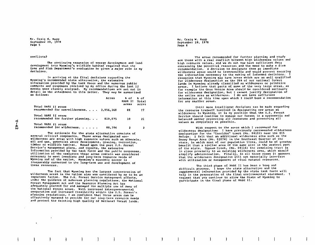
Mr. Craig W. Rupp September 29, 1978 Page 5
nc. Craig W. Rupp September 29, 1978 Page 6
C A N
conflicts?
The continuing expansion of energy development and land development into Wyoming’s wildlife habitat required that the Game and Fish Department’s evaluation be given a major role in my decisions.
In arriving at the final decisions regarding the Wyoming’s recommended state alternative, the extensive information provided by the task force and the numerous public comments and responses tec’eived by my office during the last 12 months were closely analyzed. My recommendations are set out in detail in the attachment to this letter. a* Eollowsr
They may be summarized
Acres 8 Of 8 of RARE II Total
areas acres Total RARE II areas recommended for non-wilderness. . . . 2.956.360 88 17
Total RARE II areas recommended for further planning. . . 819,075 10 21
Total RARE II areas recommended for wilderness. . . . . . 80,396 2 2
The rationale for the state alternative consists of several critical components. Those areas designated non- wilderness are areas with high resource values such as minerals, oil and gas, potentIa1 water development, grazing, recreation, timber or wildlife habitat. Based upon the past U.S. Forest Service’s management plans, and reports, the extensive information ptovlded by the task force and the public responses, utilization of the resources these areas contain was considered necessary to meet immediate and long-term resource needs of Wyoming and of the nation. Wyoming’s economic sector is inseparably connected to the long-term use and development of these resources.
wilderness The fact that Wyoming has the largest concentration of
areas in the nation also was considered by me to be an important factor. The U.S. Forest Service management efforts, under the guidance of numerous planning regulations, the National Forest Management Act and the Resource Planning Act has adequately planned foe and managed the multiple use of many of the National Forest areas. With increased intergovernmental cooperation and increased flexibility within the U.S. Forest’s planning regulations, I am confident that these areas can be effectively managed to provide for out long-term resource needs and protect the existing high quality of National Forest lands.
.
I 1 I I I I I I I I
The areas recommended for further planning and study ate those with a real conflict between high wilderness values and high resource values, and we do not now have sufficient data concerning the potential tesoutces and the need to make a firm recommendation. A decision to designate them as immediate wilderness areas would be irreversible and would prevent securing the inEormation necessary to the making of informed decisions. I recognize that Wyoming may have ‘areas which ate as well qualified for wilderness designation as the 26% of out national forest lands in Wyoming already classified as wilderness or primitive areas. I believe that parts of some of the very Large areas, as for example the Gras Ventce Area should be considered seriously for wilderness designation, but I cannot justify designation of the entire area as wilderness. I do not have sufficient information at this time upon which I could base a recommendation for any smaller areas.
Until more intelligent decisions can be made regarding the resource tradeoff involved in designating new areas as wilderness in Wyoming, it is my position that the U.S. Forest Service should continue to manage our forest in a systematic and balanced manner protecting all resources and preserving all values as completely as possible.
With respect to the areas which I recommend for wilderness designation: I have previously recommended wilderness designation for the “Corridor’ tract (No. 04101) neat the Elk Refuge. I felt that an additional wilderness area such as the Snowy Range Area (No. 02074) in the Southeast Quartet of the state, in which most of out population Lives, could be of greater benefit than a similar area of the same size in the western part of the state. Gypsum Creek, (No. 04116) the remaining tract is in close proximity to an existing wilderness area, which should simplif’y administration. Finally, in all three cases it appears that the wilderness designation will not materially interfere with utilization or management oE vital natural resources.
The third phase of RARE II has been a long and difficult. process. I hope the state alternative and the supplemental information provided by the state task force will help in the preparation of the final environmental statement. I request that you continue to allow the State of Wyoming to participate in the final phase of PARE II.
I I I I I I I I I
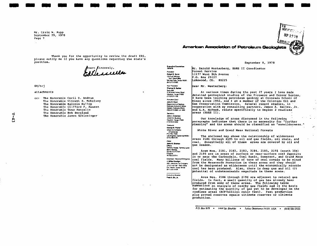
NC. Craiq W. Rupp September 29, 1978 Page 7
Thank you for the opportunity to review the draft EIS, please notify me if you have any questions regarding the state's position.
EH/trj
attachments
CC: The Honorable Cecil D. Andrus The Honorable Vincent E. Mckelvey The Honorable H$lcolm Wallop The Honorable Clifford P. Hansen The Honorable Ten0 Roncallo The Honorable Bob Bergland The Honorable James Schlesinger
.
September 8, 1978
Mr. Darold Westerberg, RARE II Coordinator Forest Service 11177 West 8th Avenue P.O. Box 25127 Lakewood, CO. 80225
Dear Mr. Westerberg:
At various times during the past 27 years I have made detailed geological studies of the Piceance and Denver basins, I have been teaching petroleum geology at Colorado School of Mines since 1955, and I am a member of the Colorado Oil and Gas Conservation Commission. Several recent studies, in -, cooperation with my consulting partners, James A. Barlow, Jr. and L.A. McPeek, relate specifically to Region 2 roadless.- areas (RARE II).
Our knowledge of areas discussed in the following .
paragraphs indicates that there is no necessity for 'further planning" and the areas should be classified as 'nonwilderness." .-r.
White River and Grand Mesa National Forests
The enclosed map shows the relationship of wilderness areas 2181 through 2195 to oil and gas fields, oil shale, and coal. Essentially all.of these areas are covered by oil and gas leases.
Area Nos. 2181, 2182, 2183, 2184, 2185, 2191 (south 35%) and 2195 are in areas of surface or near-surface coal deposits in or near the Carbondale, Coal Basin, Somerset, and Grand Mesa coal fields. Many billions of tons of coal remain to be mined from the Hesaverda Formation in these areas and they should not be designated as wilderness until the economically minable coal has been produced. Also, there is deep gas and oil (1) potential of undeterminable magnitude in these areas.
Area Nos. 2186 through 2194 are adjacent to natural gas fields. I" fact, a small quantity of gas has already been produced from some of these areas. The following table smarites an analysis of nearby gas fields and is the basis for estimating the quantity of gas yet to be developed on the roadless areas (BCF-billion cubic feet). Past production plus proved reserves equals ultimate reserves or ultimate production.
P.O. Box979 l 1444 so Boduer l ~L’lSc9. OkWKma 74101. USA l (918)584-2555
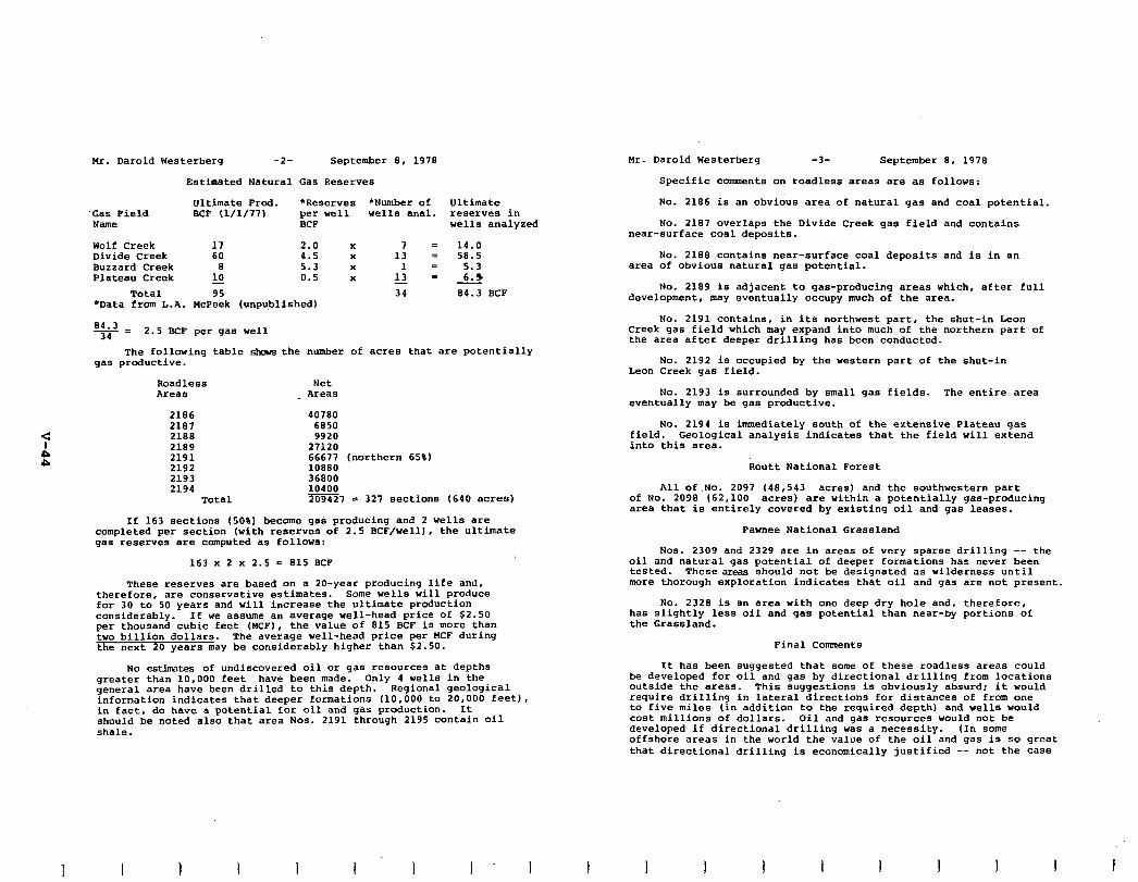
Mr. Darold Westerberg -2- September 8, 1978
Estimated Natural Gas Reserves
Ultimate Prod. *Reserves *Number of Ultimate Gas Field BCF (1/l/771 per well wells anal. reserves in Name BCF wells analyzed
Wolf Creek ii
2.0 x 7 = 14.0 Divide Creek 4.5 x 13 = 58.5 Buzzard Creek a 5.3 x 1 = 5.3 Plateau Creek k-2 0.5 x L? m 6.3
Total 95 34 84.3 BCF *Data from L.A. HcPeek (unpublished)
84.3 34= 2.5 BCF per gas well
The following table skis the number of acres that are potentially gas productive.
Roadless Net Areas _ Areas
2186 40780 2187 6650 2188 9920 2189 27120 2191 66677 (northern 65%) 2192 10880 2193 36800 2194 10400
Total 209427 = 327 sections (640 acres)
If 163 sections (50%) become gas producing and 2 wells are completed per section (with reserves of 2.5 BCF/well), the ultimate gas reserves are computed as follows:
163 x 2 x 2.5 = 815 BCF
These reserves are based on a IO-year producing life and, therefore, are conservative estimates. Some wells will produce for 30 to 50 years and will increase the ultimate production considerably. If we assume an average well-head price of $2.50 per thousand cubic feet (MCF), the value of 815 BCF is more than two billion dollars. The average well-head price per WCF during the next 20 years may be considerably higher than $2.50.
No estimates of undiscovered oil or gas resources at depths greater than 10,000 feet have been made. Only 4 wells in the general area have been drilled to this depth. Regional geological information indicates that deeper formations (10,000 to 20,000 feet), in fact, do have a potential for oil and gas production. It should be noted also that area NOS. 2191 through 2195 contain oil shale.
I I I I I 1
Mr. Darold Westerberq -3- September 8, 1978
Specific comments on roadless areas are as follows:
No. 2186 is an obvious area of natural gas and coal potential.
No. 2187 overlaps the Divide Creek gas field and contains near-surface coal deposits.
No. 2188 contains near-surface coal deposits and is in an area of obvious natural gas potential.
No. 2189 is adjacent to gas-producing areas which, after full development, may eventually occupy much of the area.
No. 2191 contains, in its northwest part, the shut-in Leon Creek gas field which may expand into much of the northern part of the area after deeper drilling has been conducted.
NO. 2192 is occupied by the western part of the shut-in Leon Creek gas field.
No. 2193 is surrounded by small gas fields. The entire area eventually may be gas productive.
No. 2194 is immediately south of the extensive Plateau gas field. Geological analysis indicates that the field will extend into this area.
Routt National Forest
All of.No. 2097 (48,543 acres) and the southwestern part of No. 2098 (62,100 acres) are within a potentially gas-producing area that is entirely covered by existing oil and gas leases.
Pawnee National Grassland
NOS. 2309 and 2329 are in areas of very sparse drilling -- the oil and natural gas potential of deeper formations has never been tested. Theseareas should not be designated as wilderness until more thorough exploration indicates that oil and gas are not present.
NO. 2328 is an area with one deep dry hole and, therefore, has slightly less oil and gas potential than near-by portions of the Grassland.
Final Comments
It has been suggested that some of these roadless areas could be developed for oil and gas by directional drilling from locations outside the areas. This suggestions is obviously absurd; it would require drilling in lateral directions for distances of from one to five miles (in addition to the required depth) and wells would cost millions of dollars. Oil and gas resources would not be developed if directional drilling was a necessity. (In some offshore areas in the world the value of the oil and gas is so great that directional drilling is economically justified -- not the case
I I I I I I I I
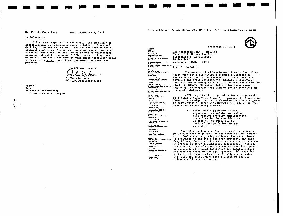
Mr. Darold Westerberq
in Colorado! 1
-4- September 8, 1978
Oil and gas exploration and development generally is nondestructive of wilderness characteristics. Roads and drilling locations can be reclaimed and returned to their original condition. Anyone who has attempted to relocate abandoned wells drilled 10 to 30 years ago in mountainous areas can attest to the great difficulty of finding many of these locations. The time to make these “roadless” areas wilderness is after the oil and gas resources have been produced.
AAPG President-elect
JDH:ms Enc. xc:Executive Committee
Other interested people
September 29. 1978
The Honorable John R. McCuire Chief, U.S. Forest Service Department of Agriculture PO Box 2417 Washington, D.C. 20013
Dear Mr. McCuire:
The American Land Development Association (ALDA), which represents the nation’s leading developers of recreational, resort and residential real estate, has reviewed the Draft Environmental Statement involving the Service’s on-going Roadless Area Review and Evaluation (RARE II) Study. We respectfully offer these comments regarding the proposed “decision criteria” contained in the draft statement.
ALDA supports the proposed criteria in general; particularly Numbers 1, 3 and 4. However, the Association feels that an eighth criteria should be adopted and given primary emphasis, along with Numbers 1. 3 and 4, in the RARE II decision-making process:
8. Areas with high potential for organized snow-related recreation will receive priority consideration for allocation to nonwilderness so that the resource may be realized to the fullest extent possible.
Our ski area developer/operator members, who com- prise more than 10 percent of the Association’s member- shio. feel there is arowinn evidence that skier demand is beginning to out-itrip ski area capacity, and that few. if any. feasible ski area sites are available either in private.or other governmental ownerships. Instead. the vast majority of suitable areas for new develo ment or exoansion of nresent facilities are located wit in the-rbadless are’as of National Forests.
R. If these few
suitable sites are included in the wilderness system. the resulting impact upon future growth of the ski industry will be devastating.
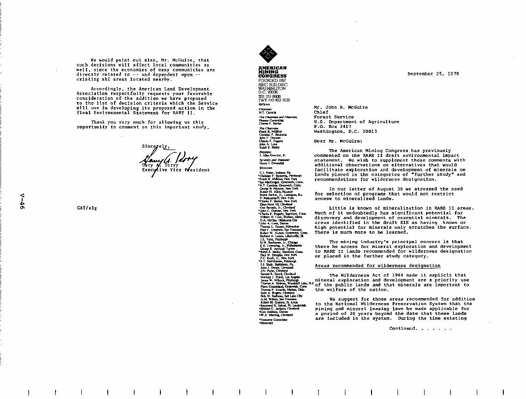
We would point out also, Mr. McGuire that such decisions will affect local communities as well. since the economies of many communities are directly related to -- and dependent upon -- existing ski areas located nearby.
I
Accordingly, the American Land Development Association respectfully requests your favorable consideration of the addition we have proposed to the list of decision criteria which the Service will use in developing its proposed action in the final Environmental Statement for RARE II.
Thank you very much for allowing us this ouportunity to comment on this important study.
Sincyel.
CAT/elg
?@?&tident
I I
FOUNDED1897 RINGBUILDING E?"am Xt7-331tXCl l-w 710Bz~0126
I
September 25, 1978
Mr. John R. HcGuire Chief Forest Service U.S. Department of Agriculture P.O. BOX 2417 Washington, D.C. 20013
Dear Mr. HcGuire:
The American Mining Congress has previously commented on the RARE II draft environmental imoact statement. We wish to supplement these comments with additional observations on alternatives that would facilitate exploration and development of minerals on lands placed in the categories of 'further study" and recommendations for wilderness designation.
In our letter of August 30 we stressed the need for selection of programs that would not restrict access to mineralized lands.
Little is known of mineralization in RARE II areas. Much of it undoubtedly has significant potential for discovery and development of essential minerals. The areas identified in the draft EIS as having known or high potential for minerals only scratches the surface. There is much more to be learned.
The mining industry's principal concern is that there be access for mineral exploration and development to RARE II lands recommended for wilderness designation or placed in the further study category.
Areas recommended for wilderness designation
The Wilderness Act of 1964 made it explicit that mineral exploration and development are a priority use
NJ.of the public lands and that minerals are important to the welfare of the nation.
We suggest for those areas recommended for addition to the National Wilderness Preservation System that the mining and mineral leasing laws be made applicable for a period of 20 years beyond the date that these lands are included in the system. During the time existing
Continued. . . . . . ,
I 1 I I I I I
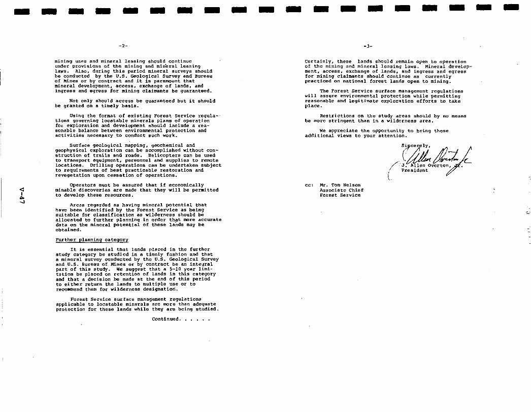
-2-
mining uses and mineral leasing should continue under provisions of the mining and mineral Leasing laws. Also, during this period mineral surveys should be conducted bv the U.S. Geolooical Survev and Bureau of Wines or by contract and it is paramouni that mineral development, access, exchange of lands, and ingress and egress for mining claimants be guaranteed.
Not only should access be guaranteed but it should be granted on a timely basis.
Using the format of existing Forest Service regula-- tions governing locatable minerals plans of operation for exploration and development should include a rea- sonable balance between environnmntal protection and activities necessary to conduct such work.
Surface geological mapping, geochemical and geophysical exploration can be accomplished without con- struction of trails and roads. Relicopters can be used to transport equipment, personnel and supplies to remote locations. Drilling operations can be undertaken subject to requirements of best practicable restoration and revegetation upon cessation of operations.
Operators must be assured that if economically minable discoveries are made that they will be permitted to develop these resources.
Areas regarded as having mineral potential that have been identified by the Forest Service as being suitable for classification as wilderness should be allocated to further planning in order that more accurate data on the mineral potential of these lands may be obtained.
Further planning category
It is essential that lands placed in the further study category be studied in a timely fashion and that a mineral survey conducted by the U.S. Geological Survey and U.S. Bureau of nines or by contract be an integral part of this study. We suggest that a 5-10 year limi- tation be placed on retention of lands in this category and that a decision bs made at the end of this period to either return the lands to multiple use or to recommend them for wilderness designation.
Forest Service surface management regulations applicable to locatable minerals are more than adequate protection for these lands while they are being studied.
Continued. . . . . .
-3-
Certainly, these lands should remain open to operation of the mining and mineral Leasing laws. Wineral develop- ment, access, exchange of lands, and ingress and egress for mining claimants should continue as currently practiced on national forest lands open to mining.
The Forest Service surface management regulations will assure environmental protection while permitting reasonable and legitimate exploration efforts to take place.
Restrictions on the study areas should by no means be more stringent than in a wilderness area.
We appreciate the opportunity to bring these additional views to your attention.
i President
cc: Mr. Tom Nelson Associate Chief Forest Service
3
PO Bos IdI. Wntervillc. Ohio 43081 lelephone lbl.41 891.2425 T&x. 245392
September 27, 1978
Mr. Mike Griswald Acting Director of Recreation U.S. Forest Service Independence Avenue, S.W. Washington, D.C. 20250
Dear Wr. Griswald:
Roadless Area Review and Evaluation (RARE II)
The American Motorcyclist Association (AMA) is grateful for the opportunity to comment on the Draft Environmental Impact Statement (DEIS) for the RARE II process now concluding. We appreciate the recognition afforded us as a national organization of recreationists and for the varied opportunities given us to become involved in the process.
Recent surveys indicate that almost 75% of our members depend on national forests for trailriding opportunities, and for this reason we have a keen interest in the land allocation decisions determined by RARE II. Federal land ownership patterns and legislative mandates make the national forest system the most 'available' public lands for American citizens. Unlike the Bureau of band Management, the Forest Service has extensive land holdings in the east as well as the manage- ment flexibility to permit motorized recreation where appropriate. These circumstances make RARE II decisions even xore difficult and of greater consequence to those depending on eastern national forests for dispersed motorized recreation.
As an association, the AWA has long recognizea the importance of wilderness as a resource whose values need to be identified and pro- tected. However, in seeking to preserve wilderness values caution must be exercised not to cheapen the concept by including areas not meeting the criteria identified in the Wilderness Act of 1964. Addi- tional care must-be incorporated so as not to unfairly diminish other resource values at the expense of wilderness. To be specific, equity, balance, and quality should be the guideposts for RARE II decisions.
While recognizing the importance of preserving the wilderness resource, we have some concern for the quality of wilderness areas being contributed to the National Wilderness Preservation System by the Forest Service. Additionally, as a segment of the recreqtion public that is highly dependent on national forest Land to, enjoy our sport, we are concerned that some would seek to prohibit our use
I 1 I I I 1 I
Mr. Mike Griswald September 27, 1978 Page 2
by utilizing wilderness as a tool to accomplish that prohibition. Not only would this be an unjust motivation for the wilderness desig- nation, but it could result in less than quality contributions to the system.
With these general comments and concerns in mind, we have attached a more detailed review of the DEIS. These will serve as our comments as a national organization and will be supplemented by the many individ- ual comments of our members addressing specific inventory areas. Should there be any questions regarding our association's input, we trust you will not hesitate to contact us.
Associate Director Government Relations
RR/t1
Attachment
I 1 I I I I I I I --
I.
ROADLESS AREA REVIEW AND EVALUATION U.S. FOREST SERVICE
Comments of the American Motorcyclist Association
September, 1978
INTRODUCTION
Since the formalization of the National Forest System by the passage of the Transfer Act of 1905 and the subsequent policy state- ment by the Secretary of Agriculture Wilson, our nation's forests have been managed in a manner that would provide "the greatest good for the greatest number of people.' This management philosophy was formalized in the Multiple-Uee Sustained Yield Act of 1960 by requiring national forests to be administered for purposes of recreation, range, timber, watershed, and fish and wildlife purposes. The Wilderness Act of 1964 included wilderness as one of these resources to be managed for "the greatest good...'
In recent years, however, the wilderness theme has been allowed to dominate management programs related to our national forests to the point that other land allocation decisions are all oredicated on this-single resource commitment. In all too many instances timber, recreation, grazing, and wildlife decisions have been forced into a
4 holding pattern because certain segments felt that inadequate consid-
s eration had been given to the wilderness resource. In many instances, large expanses of land have been withheld from dispersed use or timber harvest pending settlement of a long line of court cases. No longer are the forests being managed for the greatest good for the greatest number; but seemingly for the greatest good for the greatest number of wilderness areas. All too frequently, land use decisions are being made in the courts rather than through the integrated planning process.
The first Roadless Area Review and Evaluation (RARE) conducted in 1972 proved totally inadequate as a measure to identify candidate areas for incorporation into the National Wilderness Preservation System (NWPS). As a result of its shortcomings and the ever increasing challenges to management decisions, we are now faced with RARE II.
As a concept RARE II is much broader and rare encompassing than its 1972 namesake. Under RARE II, we are faced with relaxed criteria to incorporate mOre possible candidate areas, greater efforts to identify wilderness in the eastern United States, and expanded public input. However, even with all these improvements RARE II suffers from short- comings similar to those that plagued the original RARE. RARE II remains a single use form of incremental planning that fails to include adequate consideration for other forest users and their relationship to the total NWPS.
The major purpose of RARE II is identified as making recommenda- tions concerning the roadless areas necessary to round out the National Wilderness Preservation System and to determine those roadless areas
-2-
that can be immediately made available for non-wilderness uses. How- ever, the Draft Environmental Impact Statement (DEIS) makes no attempt to suaaest what Dart of the total contribution to the NWPS should be provided by the National Forest System nor can it offer any assurances that those roadless areas released for non-wilderness uses will be innnine from court challenges that would further limit their utilization.
RARE II fails to fully consider the potential contribution to be made by the Bureau of Land Wanagement to the NWPS in relationship to existing wilderness, administration endorsed proposals, and identified RARE II roadless areas. The BLW has only recently begun to inventory its 450 million acres for potential wilderness. In considering how much wilderness our nation can afford, we must identify the total poten- tial acreage that is administered by all federal agencies and make a decision based upon all inclusive quantification.
II. AFFECTED EWVIRONWENTS
Physiographic Regions - Attempts should be made to avoid incor- porating excessive numbers of roadless areas which represent already existing landforms included in the NWPS. Conversely those landforms not represented should be given priority.
Recreation - The greatest concerns of the AWA revolve around the treatment that dispersed motorized recreation will receive in final RARE II use allocations. Of the 131 million visitor days identified for National Forests, no differentiation is made between dispersed motorized and other dispersed recreation uses. Further, previously designated roadless areas are not normally available for motorized recreation so it becomes extremely difficult to measure the actual impacts of roadless and wilderness designations on this segment of the recreation public.
We would suggest the 1.8 million visitor days attributed to motor- -.
ized inventoried areas is a conservative estimate. Wotorized use would 1, be much greater if management philosophies did not prohibit such use. Industry figures indicate an existing population of over 5.6 million off-highway motorcycles now in use. If we conservatively estimate that only half are used on forest Lands, estimates of visitor/use days are doubled even though other motorized recreations are excluded.
Wilderness - By including use of wilderness and primitive areas as part of the total visitor day count for dispersed recreation, you are distorting the original intent of the Wilderness Act of 1964. con- gress passed the Act to preserve the wilderness resource for future generations, not as a means of establishing opportunities for a special recreational experience. Wilderness recreation should not be a criteria for selecting candidate areas to the NWPS. The presence of recreation in wilderness is secondary to the selection and establishment of a wilderness area.
Cultural Resources - The discovery of and preservation of signi- ficant archeological and historical sites that exist within inventoried
-3-
roadless areas cannot be over emphasized. However, sufficient detail describina the methodolow to be used in assessina the aualitv and significaice of a partichr cultural resource as-qualiiying ior wild- erness selection are lacking. Guidelines must be established for determining what is of value and what is not.
Socio-Economic Factors - The DBIS has some consideration for the ~macro' socio-econommcts of RARE II but seems to aive little consideration to the 'micro" or spinoff effects. We rezer to the consequences of denying an individual a dispersed motorized recreation opportunity and the ramifications of prohibiting the social and monetary exchange that accompanies that experience. The social and economic impacts are not limited exclusively to timber harvest and possible unemployment resulting from establishing wilderness areas.
In referencing the desire of persons to reflect on wilderness, and be secure 'in it just being these,' the Forest Service should exercise caution in pratiticing a management philosophy that liberally affords the luxury of providing a wilderness merely for satisfying such an elusive value. The time has passed when our nation and its resources can be reserved from productivity to fulfill an individual's or an organization's daydream.
III. EVALUATING CRITERIA
The DEIS spells out four characteristics selected by the public: landform, ecosystem, wildlife, and accessability. Yet, it fails to identify the source of this 'public' opinion.
The Forest Service's National Summary of Public Comments on the RARE II (Roadless Area Review and Evaluation) Inventor-v and Evaluation Criteria (November, 1977) indicates on page 74 that none of the four criteria enumerated by the outline were -ng the top four criteria in this national survey. To the contrary, meeting participants believed that: (1) the need for significant commercial timber resources to remain available for harvest, (2) the need to make significant energy resources available for extraction , and (3) the need to make signi- ficant mineral resources available for extraction were all more important than any of the enumerated criteria.
Yet the environmental statement does not reveal an agency proposal to accormaodate these public views. Since the RARE II program was supposed to proceed on a consensual basis, we view this failing to be a roost serious one which goes to the very heart of the program.
IV. ALTERNATIVES CONSIDERED
In evaluating the proposed alternatives and the effects of their implementation, the Association must limit its comments to RARE II's impact on motorired dispersed recreation.
The likelihood of either Alternatives A, 8, or J being selected seems highly unlikely and will not be addressed by these comments.
I I I I I I
- 4 -
Assuming some compatibility with cormnercial interests, Alternative C provides a high emphasis on non-wilderness uses and therefore could be made acceptable to motorized dispersed recreation.
Alternative E, because of its concentration on low-level achieve- ment of landform, ecosystem, wildlife, and accessability offers the best selection and possibility for motorized recreation. This is accomplished without allocating large acreages for 'additional study," but still affords the opportunity to preserve those roadless areas having the greatest wilderness values.
Additionally, Alternative E provides virtually lOOa of the low level achievement targets for the landform, ecosystem, and wildlife characteristics and 98% of the low level target for accessability and distribution.
Alternatives D, F, G, H, and I would excessively limit motorized recreation or allocate unnecessary large numbers of inventoried areas for 'additional study" and thereby defeat the intent of the RARE II process.
V. EFFECTS OF IMPLEMENTATION
Implementation of the varied alternatives can only be discussed in relationship to their perceived impacts on dispersed recreation.
We were extremely disappointed to discover that no attempt was made to. relate the amounts of rcotorired dispersed recreation that would be displaced as a result of implementing the various alternatives to identified levels of user needs. Additionally, information is needed on the amount of actual trail facility involved with each alternative. Unlike other non-motorized trail use, wilderness designation can not only serve to prohibit use directly, but it also limits access to other areas of use because of trail closures.
The discussion of the effects of implementing the alternative approaches is directed solely at whether or not an area will or will not be recommended as wilderness. This single purpose orientation pro- hibits proper focus on other recreation and resource issues and ignores necessary planning for them. This is particularly significant because of the small percentage of the total population that actually utilizes wilderness.
In the discussion on p. 37 of the effects on recreation, there is the implication that non-wilderness designations will result in a corresponding increase in recreation in designated wilderness areas. The suggestion is that non-wilderness designations create an increase of use in wilderness areas. However, quite the opposite has been observed. Once officially recognized as 'Wilderness," use increases substantially in a given area.
As indicated, Alternative C will fulfill the RARE II share of the wilderness target as well as those targets established for timber,
1, I I I I I I I
-5-
developed recreation, dispersed recreation, grazing, and fish and wildlife. Alternative C allocates 18% of the inventoried areas to 'further study.' While Alternative E falls somewhat short on the wilderness targets for RARE II, it does provide a greater balance among the other characteristics.
We feel the NFS is in error by suggesting wilderness experiences would be enhanced by adding additional areas to lower user density. Available information indicates that those seeking a wilderness exper- ience only penetrate the fringe of established areas. Those who have their wilderness experience disturbed by user density have only them- selves to blame: additional solitude is available by merely moving deeper into existing areas.
If the impacts on law enforcement in the 384 identified areas is to increase substantially.because of restrictions imposed on tradi- tional OHV areas, meybe some consideration should be given to their attractiveness as wilderness. If enforcenaent is to be a problem per- haps the area should be excluded. Such a phenomenon may also reflect a significant user need or desire in that given area that will be displaced perhaps unfairly by a wilderness decision. One would have to conclude that if a history of motorized recreation does not pro- hibit an area from wilderness consideration; then its use does not jeopordixe wilderness as a resource and should be allowed to remain.
u-l VI. EVALUATION AND DEVELOPMENT OF A PROPOSAL
Identification of a preferred course of action in the draft environmental statement requires that Forest Service policy makers give serious and formal consideration to the direction of the HAHE II program much earlier in the whole process than if identification of the preferred alternative is delayed until the final environmental statement. We believe that the final program would have benefitted from this "forcing' mechanism since it would have permitted program planners and environmental statement writers to test this preliminary decision through agency reconsideration in light of subsequent public comment.
Further, identification of a preferred alternative in the draft environmental statement would focus public comment on a scare narrowly defined set of issues than if the public is presented with a range of ontions without benefit of the Forest Service's views as to which of these constitutes the best compromise amongst competing considerations. The absence of a preferred alternative in the draft environmental statement deprives the interested public of a vital link in the exchange of ideas which the NEPA review process is supposed to entail.
To adequately address the methodology to be utilized by the National Forest Service, the public needs to know their willingness to provide alternatives for displaced activities. This 'qualification' will be the true measure of the effects of each alternative.
- 6 -
VII. CONSULTATION WITH OTHERS
The assessment of public involvement in the HANS II process has been grossly over-rated by the Forest Service. BY quoting the attend- ance figures of the 227 workshops the Forest Service is suggesting that workshops are a viable means for collecting public assessment. We feel some re-evaluation must occur. For the auoted attendance, the average at each meeting could not have exceeded 74 persons. This in itself is not representative of the nation's public: however, more importantly, it illustrates the weaknesses of public sessions a8 a means of gaining input.
In view of the importance of identifying the size and character- istics of an ideal national wilderness system and the contributions to this system of each of the federal land managing agencies, we believe this section ought to specify the substance of the consultations and coordination with other agencies and indicate how the HARE II program and environmental statement conform to the substantive agreements reached during the coordination process.
The 'vilderness question' is one that involves all federal land managing agencies. The ultimate answer cannot be concluded until agreement has been reached on the finite contributions expected from each agency.
l * l :
In summary, the American Motorcyclist Association recognizes the importance of the preservation of wilderness as a resource and accepts the conceptual wisdom of HARE II. We seek a timely completion '. of the program without sacrificing other resource values for the sole purpose of expanding the National Wilderness Preservation System.
We deplore the establishment of wilderness areas for the expressed purposes of prohibiting dispersed motorized recreation and feel that HARE II is deficient for not incorporating other resource values. The Forest Service should exercise caution in determining vilderness for the luxurious reason of merely knowing it exists.
Arcmg the alternatives offered for discussion, we favor the emphasis placed on non-wilderness allocations afforded in Alternative E. As a Possible compromise, we feel Alternative C closely approxi- mates our needs for non-wilderness designation while providing some reasonableness in the number of acres allocated to wilderness and those left in an undetermined state.
September 22, 1970
SEPert
Hr. Robert 8. Torheim Begiooal Forester Rorthero Region, LISPS Federal Building ?Iisacula, Montana 59807
Dear Bob!
2he prompt and reapcasible completion of RARE II is of great concern to the Amcricso Plywood Association end its members who produce mOet of the softwood plywod in the 0. 6. Ye are hopeful that the c-ente which follow vi11 help yea in your deliberations oo the resolution of the vital RAP.R II atud,.
APPROACilRS mu DEvnoPIRC A DECISIOR
After having reviewed all the alternatives preeeoced, we find nose that we cao full, wpport. lie do. haever, contrined ia the slteroativea.
we merit ia mao, of the concepts Ye believe that the beat approach to
development of en acceptable alternative would be to:
I
Begin with the high-level Rational BPA 1975 target goals for the year 2015 for all resources. iacludion vildcrncsa. The rationale for using the high level ie that opportunity coete l hould be measured ageiaet the highest production of goods aad rerviees feasible within the balanced RPA program goals.
Adjuet boundaries of roadless areas an necessary to produce logical management units. Rosdless area arc accidents ia time and man, lack management iotegrit,. an to defy managemeat es a unit
Rhere an area ia 80 rhsped , it should he broken into local
units. Where vastly differing resource values are involved which ma, logically be allocated to differing management options, i.e., wilderness versus q owilderaees, boundaries should be drawo betveen these differing value areas. Boundary adjustments should be required wbeo the above conditions cxiat; otherwiae, uoneccaaary conflicts ia meeting RPA goals will be developed.
Determine tiich roadless area8 molt effectively contribute to each reeoorce target. Use procedures l imiler to Appendix 1, Stage 2, ia “Preliminary Evaluation Procedures,” RARE II dated
I I
Hr. R. A. Torheim -2- September 1978
July 31, 1978, except etart with areas meded to maintain c-nit, stability, then higheat productivity. The entire procedure should be done nationally without respect to regional boundaries. Uildernera would he ranked by landform, ecosystem nod l cceseibility/distribution gap aeedr aad then by Hilderocsa AttrLhutaa Rating Syetem numbers.
4) Continue with Stage 3 in “Preliminary Evaluation Procedurea,” Steps 1 and 2. Prior to Step 3, check off wilderness areas to meet 802 of the high-level goal (30 - 23.8 = 6.2 x 80% - 5 million acres). Start with landform, ecosystem, nod acces- sibility/dietributioo gaps having lowest resource outputs to meet thin criteria, then add areas with highest WARS rating.
5) After 802 of RPA high-level goals are ieached, use professional judgment of forest, regional end aetioosl-level personnel, along with oublic inout. to reach PO nearly as DossibLe 1002 of all RPA rbeoorce tbrg;t goals. Consider- further boundary changes to roadleee area8 in order to bring about realization of full RPA target goala. This final stage must oat be purely mechsn- ical, but rrmat recognize physical, biological, social and polit- ical realities.
If 1975 RPA target goala were realistic , it will be poaeible to rccoumend an allocation of vilderneas and nowilderaeaa areaa that aatisfg wilderness and other resource output goals. If RARE IL recoumeodations for wilderness and noouilderocea allocation do not allow meeting RPA goale, RARE II will have failed to comply with the law. We believe it ie entirely possible to exceed the goals for timber aod still meet RPA goals for wilderness. Ye believe that the reeultant vildernesa system could meet not only the acreage goal, but also the goal of establiahiog a quality system that contains rcoresentative landforms. ecoeyetema, acceasLbilit, to the people of the couotr,, aad alao ratea hiehl, ia v;ld&oeas attribuiee. C4re muet be taken that the vilderness system doee not destroy the Rational Forest Syetem’s abiLity to meet all of the other resource outputs it is capable of achieving.
DECISIOR CBITRRIA
We feel that decision criteris should be built into the procedure8 for developing a recomneaded decision rather than simply evaluating alternativea produced by using one or Loire elements.
RPA TarRet - Program goals or targets should be more than a major conaidera- tion for evaluatiog ao alternative; the, should be the besir for developing the rexmended deeioioa.
General Public ARreement - We agree that public respoasa should be considered a8 a decision criteria ITI the development of a final Adminirtretion recommenda- tion. t7ovever. we hew been diaturbcd by c-nta that responaea will be given greater coneiderstion if the respondent wee personally acquainted with the area. This gives a tromendoue bias to that small segment of the public that uees roadlesa ereee for recreation. It would discriminate
1 I
Hr. R. Il. Torheim -3- September 22, 1978
againat the majority of Americsns who might benefit from the development of roadleas ares8 through the uee of the resourcea involved or recreational pursuits derived from the areas if they were developed.
Ye are also concerned that respondents supporting e particular alternative nationally, or ccmmentiag regarding further claaaificatione for wilderness or nonvildernesr-use within their state, be considered to have responded on all roadless ereas involved. If, for example, e respondent indicates support for Alternative B on rosdless areas within his stete, this ehould be considered ee response opposing wilderness cleasifications for those areas lieted ae nomrilderneas under that alternative, end supporting wilderness claeeificatioaa for those areas to be classified ee wilderness. Considering that this evalution vould be mede, we would support the conten-
tion thet &en the preponderance of Public opinion indicatea preference for allocation of individual areas, considerable weight should be given to such allocation.
Baaed on our review of several dozen land-uee studies aver the past couple of yearn, we feel it is rather naive to believe that e general coneeneue will emerge for any significant number of areas. The Forest Service’s failure to identify II preferred slternative has certsinly contributed to * lack of CooeenaUe. We else feel thst e lack of consensus should not be used ee an excuse to avoid decision-making by placing srees in the limbo status of “Further Study.” Proa the hietorg of involvement in land-we allocetioaa on aresa containing high resource valuea and high rilderneae values, we have found that planniq delays sccelerete controversy by breeding uncertainty end public dieguet of planning efforte. Consensus
- by the intereet groups involved in moat easee never occurs, but controversy dies down follwlng the decieion-moking process.
Community Stability end Employment - The maintenance of cownunitp stability should be more then l decision crcteria used to eseeee various alternatives in arriving at the meet desirable one. It should be the basis for develop- ment of l final decision. Throughout the history of the Rations1 Poreet System, both In legislative and administrative direction, there has beeo B recognition of the interdependency between the menegewat of national forest lands and the cmnities that have developed end prospered based on those management directiona. The failure of the Poreat Service to recognize the l ensitiritg of that bond vae demnstrsted by the recent timber melt bidding procedures controversy. That q ieteke ahould not be repeated in RARE II.
Allocations that would jeopardize the stability of industries and dependent corrmunities should be the overriding factor in determining which areas should be recormrended for vildernese end nomildernesa we.
National Ieeues - Ye concur with the ststement made regarding national ieeues of eoerg~ independence, housing starts, inflation, etc., in the Draft Environmental Statement. Regarding the timber resource, one of the beet mesns of assuring we do meet the needs for vood products im to develop recouxmendationr based upon Besource Planning Act goals for
811 resources including timber. In further support of this position, we include Exhibit 1, Tables l-4, which clearly show that the United
NC. R. Il. Torheim -4- September 22, 1978
Statee has not been self-sufficient in softwood sawtimber supply even in years of lcm demand. Ben considering lumber, plgvood, and log exporte and imports, the United Ststee VBI e net importer of nearly 6 billion board feet of softwood in 1977. This is the greatest imbalance that has occurred in rur history. It will, however, very likely be exceeded this year.
me forest policy of the United States in this century hea been based on self-sufficiency in meeting wood needs. It is now becoming apparent that we ere failing in this. Aot because of en9 real shortage in timber inventory or lack of productivity of our foreat lend base, 8s YBS pre- dicted in the early Pert of thin century, but rather because of indecisive policies on management of the Nations1 Forest system, vhich contains about one-half of the softwood inventory in.this country.
The failure to meet U. S. wood neede touches the majority of the major social end economic problems of this country todeg...inflstion, unemploy- ment, balance of payment deficita, and increasing tax burdens.
The parallele between development of energy resources and timber resources ere frighteningly simile?. Ae further evidence of the relationship between RAP.B II end meeting wood needs, n attech PD Exhibit 2 the APA report, “Can the United States Neet Needs for Plyvood end Lumber end Establish, a Quality Yilderoeas System?"
National Criteria of Landform. Ecosystem, Wildlife end Acceesibilityl Distribution - We concur with the statement that, “Preference vi11 be given in allocating roadless areas to wilderness if the addition of the erea will increase the diversity end quality of the NUPS.” Ye agree that filling gape in landform, ecoagstem and acceseibilityldistribution targeta
are important in filling out the establishment of e quality wilderness system. He do not feel that the Public perception of certain wildlife. epeeies being associated with e wilderness type environment, even when the perception me9 be inaccurate, is e criteria that warrmtm inclusion in the RARE 11 process decision criteria. Prom e biological standpoint, many of the species listed thrive better in nonuilderaeas aicuationa. Han9 of the other species ere very rarely eeen by the casual wilderness traveler. It wuld be misleading to establish e vilderneee area 80 that people might view en animal that is rarely, if ever, seen. We believe that if this criteria ia retained it ahould be limited to those species which actually need e wilderneaa environment to thrive and who’s existence is thresteaed or endangered.
With respect to eccessibilitgfdistribution tergets, ve feel that these targets would also be helpful for the Went end vould be eignificent in pointing up the need for l dditional wi1derne.w claesification in Southern California. We feel thet landform, ecosystem and accessibilitg/diatribution tergets et the Alternative E level should receive strong consideration in making recomnendetions for new areae to be edded to the wilderness system.
c cln P
Mr. Il. 8. Torhet -5- Scptcuber 22, 1978
Wildcrnesr Attribute BatioRs - We are not well versed in the intricacies of the vildernese attribute ratinn svstem. Rowever. we do believe that scenic beauty, divareity, uniqueness, - - l olitudc end &her attributes which make for a -rsble uilderneae erporience, end draw people to the uee of wilderness areas, ehould receive high coosideretion in the dcvelopnent of e quality wilderness system.
Graaalrnda - It would be e break in faith. if not in law, with the stated purposes for wbieh graeslande were established if there lands were made a part of the tilderotas sgstcr. We do not feel en9 National Grssslend Area rhould be considered for wilderness.
Previous Coogree~ional Decisions - Ye recommend that previous congreasioool decisions be en added criteris to the decision-mating process. BABB II comes et e point in time Ben many decisions have already been made relative to allocation of lands to the vilderaeea system. RARE II is e process to round out the completion of e quality wilderneee eyetern. Since the passage of the Yilderness Act, Congress has considered in greet detail the bounderice of men9 areas , adding end rejecting vnrioua portions in estobliehing which lands vould become d part of the system and which lend8 should be available for other mltiole wee. Ihrounhout the lenisletive hiatorg there erc numerous l xemples’of directions b; Congress r&&ding the menagemeat of landa not included within the vilderneas system. Thie legislative history should provide the basis for evaluation of roadlesa areas adjacent to man9 of the lands that have been established in wilderness. The Parcot Service has ignored thie lcgislstlve hietory by including these *rem in the BA88 II process. One exem~le is the Barth Cascades area in Washington State adjacent to the Glacier Peat Uildcrncss. llousc end Senate reports 00 the paeeege of the additions to the Glacier Peak Wildernesr clearly cell for Rational Forcet l reee surrounding Glacier Peak and the North Csscedes Park to be managed for wmrilderneee resources.
OlllER ODlMERTS ON DRAFT EIS AND PAIt II PBDCESS
Further Studp - This classificstion muet be minimized if BABE II ia to prove worthwhile. BA8E II has resulted in mew delsvs in the normel land- bee planning process. If all of the time and iffort-p!aced in RARE II ia to pay off, it will have to result in allocations for the vent majority of lands. Ye are extremely concerned by reports that 302, and even 502, of the lands in ICARE II ma9 end up in further study. If that should be the caee, BABE II will have failed to meet ito charge of speeding the completion of e quality wilderness ayatem. Further etudp classification l hould not be used to duck the herd deciaiona which muet be made. It should sleo not be wed ee o meana of wbverting the RPA goal by placing veet aress in further etudy pending establishment of new EPA goals. Lands recovmeadtd for wilderncaa end for further study met aot exceed the 25- 30 million acre vilderncss goal.
It is particularly important that no lands neceeeary to realize full RPA timber ssle goals within the next five gears be placed ia further study. 00 many forests, timber sale programs will deteriorate aignificently unless lands are immediately returned to nonwilderneee use.
I 1 I I I I
Hr. R. El. Torheim -6- Septercbcr 22, 1978
Strengthening Draft EIS - The final environments1 et.etement should Clterlg show in graphic form impacts of all the l ltcroatives, including the recazmended alternative on RPA target goals for all resources. After this is done, then the eocial, economic and environmentel forte of each of the alternative resource level outputs should be shown. For example, it is impossible to diotinguish between employment impacts associated with timber hervest and those aeaociated with water production, forage, or developed recreational areas. This ie also true of revenues generated, inflation impacts, balance of paymente deficits and other imPpacts.
Ye sincerely hope thet APA’s view on RARE II will help to emare that the U.S. both meets its needa for plywood end lumber, end establishes e quality vilderneas system.
Sincerely,
BBONSOR J. LFWS kkecutive Vice Preeideat
Enclosures
CC: Jo%n HcGuire, Chief USPS
H. Rupert Cutler, Amt. Secretary of Agriculture AFA Board of Truetote
I I
AssoclAnoN OF AMERICAN STATE GEOLOGISTS
August 18. 19tB
Mr. John FL IMuira. IMsf, Forset Setvice tl. S. Department of AgriCUkUre 14th Street Imd Independence Avenue, S.Y. !dMhin8tm. D. C. 20250
Dear Hr. HcGuire:
On behalf of the Association of AMricau State l%OlO8iete. representing the State Geological Surveys of all 50 atetee end Puerto Rico, I rempactfdlyeubmlt to you the following resolrr Lion, passed at the recently concluded 70th Annul kcting of tha AesocietiorI et Jeclwon, “9-g:
Uhcream, the ABeocietion of Amarican state &OlOgiete believee that the vim ULW of hrica’a resources ie of prewdnent cm~crn end that a continuing strong national eecaomg depends on this, and
Uhercas, there ie B deep nnticaal intcreat in public lend policg, and
Uhereas, it is important to insure that our oation’e public landa will bring arrdmum benefit to all citi- Lmm of our LIdcal,
merefore, be it reeolved that the Aasociatinn of Amer- icm 6t.9tt lkOlO8iete fPVOre tWlti,Ble use Of O"r public lands over single uec wherever poesible. and.
Be it further resolved thet there is en urgent need that
further eingle-use cleeaificntion of public lends be with-
held until there is obtained for each subject ace e total aa8emmCnt of resource values baaed on balmced scientific studies and appropriate review of all factors. including tiwly demonscraticm that the action taken is in the highcet public idterest. and
Hr. John R. HcCuire. Chief Page 2 August 18. 1978
Be it further resolved that provieion should be medc for a viable mechaniem to tcturn sing10 UC claseification lands to multiple uec when Changing priorities or significant new davelnpuents werrent it.
Ye eincerely hope that you will be able to support the worthy purpooe of thin resolution.
Respectfully aubmittep.
Arthur A. Socolow. Paat President. Aseoelation of American state &,10&h
MS-sb
3
El -- .
\ ,..,sr SEWCE r..33JED
DISCOVER @ 5 \a
AMERICA OFn,.E O; THE CH’EF - TRAVEL ORGANIZATIONS, INC. nNmak.wcl-undmr”.S. rmdlmMr* llD0 cmnc,rrm*-. YoM.u4 wnN”uLan. D c -. Gw, Il.I4U
September 29, 1978
The Honorable John R. McGuire Chief U.S. Forest Service Department of Agriculture P.O. BOX 2417 Washington, D.C. 20013
Dear Mr. McGuire:
On behalf of Discover America Travel Organizations (DATGJ, the national organization of the U.S. travel industry, I would like to offer comments on one aspect of the Draft Environmental Statement involving me II.
DAM is unique in that it represents the common interests of major travel industry components and is supported by them. Its membership includes individuals from more than 1,200 organizations, firms and agencies. Among its members are in- dividual state and territorial government travel offices as well as the convention and visitors bureaus of America's principal cities.
Travel and tourism have become a permanent and prominent feature of the American standard of living and the quality of the tour4st experience is a national concern.
National parks, forests, seashores, recreational areas, monuments, historic sites, and wilderness have become tourist destinations and, as such, present the issues of access, modes of use, suitable facilities, carrying capacity, and environmental protection. DATD is deeply concerned with these issues and with the conservation, use and management of the nation's vast public recreational lands.
Continued . . . .
I
The Honorable John R. WcGuire September 29, 1978 Page Two
We are concerned that the "decision criteria" contained in the Draft Environmental Statement has not given adequate consideration to organized snow-related recreation. Accordingly, we propose that an eighth criteria be added to the list, to-wit:
Areas with high potential for organized snow- related recreation will receive priority for allocation to nonwilderness so the resource may be fully realized.
We also urge you in your decision-making process to give greater emphasis to criteria number 1, 3 and 4 than to the other four criteria.
It is important that those now or in the future seeking outdoor recreational activity such as skiing on roadless areas of national forests not be denied the opportunity. At present, no feasible alternative sites, for the most part, exist in private or other governmental ownership. Furthermore, the economic viability of many communities is dependent upon the development and expansion of these outdoor recreational activities.
We ask that you incorporate the above concerns in your final decision. If we can be of any assistance, please let me know.
ISincerely,
%kt?io&h! President
WDT:edz
I I I I I I
Friends of the Earth National RARE II Connants Page 2
I-KII:Nl)S iJI: I‘III. E,\l<-I’H
TO: John McGuIre, Chief, U.S. Forest Servlce
FKH: Margie Ann Gibson, HI lderness Coxdlnator
RE: Friends of the Earth National RARE II Conrents
I. lntroductfon
Although RARE II may have been undertaken with the best of IntentIons, It has proven to be completely Inadequate for land use declslons of the rragnltude and Importance of those Involved. The program has been overly hasty, superflclal, and Is constructed In a wav that Is lnherentlv blased aualnst Wilderness desianatfon for deserving roadless areas. Thls anti-Wilderness bla; Is apparent through& the RARE II DES: fmm the range of alternatlves, to the decision crfteria, to the absence of any dlscusslon of the costs and Impacts of development and the benefits of Wilderness.
The RARE II DES attempts far too much at once, yet does nothlng thoroughly. Development of Wilderness goals and the methods and constraints for evaluatfon and comparlscn of roadless areas, as well as the flnal selectlot of roadless areas for Wilderness are all to be made In Just a teJ short months. Public connent IS requested only for the flnal selectlon of roadless areas for Wilderness since the program has already made so many of the key declslons about process, goals, methodology, constraints, etc. The haste, brevity, and confuslon of the RARE If program cbscures many of these Important aspects. The program ends up selecting goals and processes by the “black bow” method WI thout leavlng a” effective opportunity for cormant upon the methods and results. A real analysis of the need for the RAPZ II nronram would have ldentlfled areas and 1~~1~18s In which prorot declslon-making Is truly necessary, and would have dlrected publlc attentlan to these points.
Further, the declslon to canplete RARE II on a Very short tlma table and to alloy no davlatlon from that deadllne has not allowed for the program to correct errors, particularly those which are structural or procedural problems rather than sirrple data changes. Thls of coursa makes public reactlon to the goals and procedural aspects of RARE II a completely futile effort.
If the RARE II program Is to arrive at better daclslons than those resulting from the Land Use Planning Process, It can do so only to the extent that It malntalns a higher quality of InformatIon and analysis than those studfes. Thls
Is not a Ilkely result In view of the extrema haste end superflclallty with which the program Is proceeding.
The “speed before qua1 Ity” nature of the program Is I I lustrated by the foIlcuIng passage In the July 31, 1978 memo entltled “Prellmlnary Evaluation Procedures - RARE II” frcm the Washlngton offlce of the Forest Servlce:
M The RARE II preics$ 1s lw far along to implement new and complex methods, processes, or systems unless Ihey:
(1) are tried and proven (2’7 are easily understood 0) are easily applied (4)sav-a time and/or other management resources (5) use exfsting data (6) can be applied natlonally The assumption Is made that the evaluation crlterla contalned In the DES will,
for the most part, remain Intact.”
ThlS Is In essence an admlsslon that the declslons have already been made and that the public Input rlll have Very Ilttle effect.
If WIRE II was really to be a new and comprehenslve look at the problem, then the Inventory should have been new and comprehensive. Instead, many quallfled roadless lands were not evaluated, regardtess of the deflclencles and the lack of unlfofmity of the Land Use Planning studies. The excluded lands have In some cases never been inventorfed or llsted in any of the RARE programs. Further, they are not uniformly dlstrlbuted throughout the Natlonal Forest System, but tend to be concentrated In a few specltlc areas, notably central Nevada, the Boise and Sawtooth Natlcnal Forests In Idaho, the Kootenal Natlonal Forest In hfcntana, and the Wlllamette Natlonal Forest In Oregon.
The “se of the 1975 FIPA In RARE II Is one of the most seriously defective aspects Of the program. RPA has not been endorsed or funded by the Admlnlstratlon or Congress - Indeed, its only support seems to be from the Forest Service and the tlnber Industry, Instead of these outdated targets greatly llmltlng the optlons and influencing the final declslon, RARE I I should have served as Independent new data for arrlvlng at the 1980 PF’A goals. As It Is, many worthwhile options have not been consfdered because of the IimItatIons Imposed by the 1975 RPA targets.
The usefulness of the national DES and the supplements Is greatly dlmlnlsheb by the absence of any Index or cross-referencing. Thls lack makes It extremely dlfflcult to flnd Informatlon, compare points, and lnvestlgate Inter-relatlonshlps between factors. For example, many Items of InformatIon are presented In one place, xhlle their explanation Is hldden In the text without any clue as to IncatIon. Thls makes the document appear even more confuslng and dlsorganlzed that It actually Is.
I I. Weaknesses of the Evaluation and Geclsfcwt Crl terra
A. The WARS System
The WARS system, rhfle being a good Idea In theory, IS far too subJect to the whims and p,-eJudlcas of Forest Service personnel throughout the natlon and, as such, IS arbitrary and Inconslstent. Scoring was not unlfon even wlthln a Slngla Natfonal Forest. An excellent example of thls Is two areas near Mt. Ralnler Natlonal Park: Tatoash, a 17,000 acre ridge In the Gifford Plnchot Natldnal Forest, received a WARS rating of 24. Just a few miles away, the 200,000 acre Cougar lakes area of hfgh ridges, numerous alplne lakes, tfdered valleys, and rugged peaks received a WARS rating of only 21. Both areas were selected as Wilderness Study Areas In RARE I, and both posses conslderable wilderness character. To
Friends of the Earth National PARE II Comnents Page 3
Friends of the Earth Natlonal W\RE II Caments Page 4
local conservationists, who for years have actively sought WI lderness protectlon for Cougar Lakes, It Is totally lnexpllcable that WARS gave Tatoosh a 12s hlgher rating than Cougar lakes. While It Is understandable that It might be dlfflcult to obtain conslstent WARS ratings from different reglcns of the country, the assignment of different ratings to areas I” the same mountain range and wlthln only a few miles of each other casts grave doubt on the. crfidlblllty of the entlre system.
Another maJor problem rlth WARS Is that quality and quanlfy of the WI lderness resource are not reasonable balanced against each other In the way that the.ratlngs were used In tormulatlon alternatlves: For exaqle, selectIon of a 51,000 acre area with a ratlno of 25 ahead of a 500.000 acre area ulth a ratlno of 24. all other factors bel;g equal, Is, an I Ilogl;al and unreasonable allocailon. Further, the alternatives use arbitrary cutoff levels wlthout any explanation or Justlflcatlo”. For example, In Alternatlve D, all areas with WARS ratings In the top 40% for each National Forest Service Reglo” were allocated to either Wilderness or to Further Planning. Ha the 40% figure was arrived at Is “ever stated, “or was there any analysis to lndlcate ho* at-eas and acres were dlstrlbuted statlstlcally. The situation Is further obscured by the fact that the reglonal supplements do not identify what WARS rating marks the 401 level.
Flnally, WAXS and the crlterla used In It to evaluate Wilderness are completely unexplained by the DES and the technique by rhlch it was employed Is not explalned. As tar as the public Is concerned, the ratings might as well have been draw” by each Forest SupervIsor from out of his “Smokey the Bear” hat.
B. Resource Outputs
Throughout the natlonal DES and the reglonal supplements, the maxlmum potential “benefits” of development are assumed -- whether they could be achieved In reality or not -- and the maxlmum “costs” of Wilderness deslgnatlo” are detal led. However, the costs of development, both In terms of dollars and of envlronmental degradation and loss of wIIdne% recreation opportunltles, are give” no attentlo”. Furtherrrare, the many poltlve aspects of WI lderness deslgnatlon remaln virtually unrecognized. This Includes not only the “obvious” wlldllfe, flsherles, water, air, 5311, scenic , and recraatlon values of rllderness, but also the less reccqnlzed benefits In the form of wilderness-related employment and the savings of the costs Involved In bulldlng and mal”tal”l”~ the supportIn facllltlas necessary for development . In many cases, “development” of roadless areas would not be economlcally feasible unless gobernrmnt assumed the sizable capital outlays for road-bulldlng, power supply, and the Ilke. A much mxe
practical approach in these Instances would be to devote money saved through not developing madless areas to make mxe efflclent, less wasteful use of already developed areas. In thls way, we could preserve the remalnlng vestiges of our wilderness heritage rhlle making full use of the potential of those areas that have already been tapped for their resources. In short, one of the grossest falllngs of RARE II Is that It dld not Include a complete and balanced cost- benefl t analysis so as to give a true addessmant of the marlts of the:many aval lable optlons.
Furthermore, the potential resource values of the roadless areas are examined ccmpletely out Of context. There Is InsuffIcIent attempt to .sssess the roadless areas In Ilght of the resources aval table -- PIther actually or potentlal IV -- fran nearby public or private lands. Thus no attentlo” Is give” to the alternatives
I I 1
aval lable to deplopment of roadless areas when, in many cases, alternatIves do exist which would be preferable to development In all respects.
Another example of a conpletely InapproprIate approach used In the RARE II process Is the evaluation of roadless areas on a per area rather than a per acre basis. In this way, a 1000 acre area must contain mot-a tlrrber In total than a 200,000 acre area (even If the larger area’s development In economlcally unvIableI In orderto be ranked of greater econonlc value. type of approach will benefit no one.
Obvlwsly, thls
Along the same Ilnes, data quality Is rather poor throughout the national DES and the supplements. Sane data are Incorrect, Incomplete, or outdated. Data are com-m~nly InconsIstent, particularly where derived from heterogeneous sources. Not all avallable data were used and countless Important data were “ever collected. Very Ilttle attempt was made to provide any lndlcatlon of sources or quality of data. In short, for a declslon process of such great magnitude and far-reaching lmpllcatlons, data quality control was Inexcusably absent.
I. Minerals
The conslderatlo” given to mlneral and energy potentall In RARE II Is Illustrative of the extremly poor assessment of resources by RARE II. Essentially all that Is “evaluated” Is the real or potentall presence or absence In a given area of a “CrItIcal” minerals or energy sources. The only “impact” cowl dered IS whether or not the area would be used or not used for resource development. No attention whatever Is given to the speclflc mlnerals uhlch wxur, The form In which they occur, the size, grade, and econom’lc vlabl llty of the deposits, the actual area affected, the avalllblllty of alternatlve sources, the need for the cwmdlty on a local and/or national basis, the time spa” of development, and so on and on. As I” so many other Instances In RARE II, no attempt Is made to weigh the costs against the benefits of development.
The asse;sment might be of more value If the public were not expected to take the llttle InformatIon that Is provided canpletely for granted, All that Is provided IS a total number of “proven,produclng, or hlgh potential” sites and few o,- no references are provided to document eve” thls tiny crumb of InformatIon. For al I the reviewer of the DES and supplements can tel I, a “Proven or Producing Crl tIcal Hlneral Site” mlght, for example, consist simply of a tiny and Isolated occurrence ot azurlte or malachite. Although such a” occurrence could wel I be considered a “producing” site of a mlneral contalnlng “crItIcal” copper, such a site could hardly be consldered to be of any slgnlflcance Itself. The crltlcal point Is that far too llttle lnformatlo” dr useful evaluatlo” Is provided by RARE II to serve as a basis upon which to asslgn a” area to “non-wI Iderness”, and eve” exclusion of scme areas from Wilderness deslgnatlon on the basis of the lnfonnatlon provided mlght be seriously questloned. Further, as wlth many other crlterla used I” developing the alternatlves. no explanatlo” or Justiflcatlo” of the use of the crlterlon Is given. The alternatlve Is simply presented as a flnlshed product wlth only the vaguest mentlo” of the factors consIdered.
2. Timber
The tlmber screening suffers from all of the overall problems outllned above. As I” the WARS rating, arbitrary threshold levels were establlshed (In thls case at 2, 4, and B FMBF and 5%) rlthout any dIscussIon or Justlflcatlon for the use of those levels In asslgnlng roadless areas to allocatlo” categories and the
I’ I I I I
Friends of the,Earth NatIonal RARE II Commnts Pay0 5
level used was not speclflec I” the Reglonal Supplements. For unspecltled reasons, It was decided that tlmber thresholds for Eastern Regions of the Forest ServlCe Alternatlves C and Cl would be half the threshold level for the rest of the country.‘ No dlscusslon of thls declslon Is Included and It Is dlfflcult to construct any possible explanation other that a dlstlnct bias against more Wilderness In the Eastern States.
ConsIderable confusIon results from the use of the “potential productlvlty” flgure (measured In board feet). In some Instances, this number Includes non-
sawtlmber products, such as posts, poles, pulpwood, etc. There are a “umber of areas In which the potential productlvlty for these products greatly exceeds current demand. The use of such potentials Is of dubious value.
3. Grazing
The threshold and cutoff levels used for asslgnfrent of areas to ca$;gogS are Justlfled no better for this criterion than they are for others. and 750 A&f5 are used as thresholds wlih no explanation of their derlvatlon.
4. Retreat Ion
As wlih the other crlterla, recreation Impacts are assessed I” terms 01
absolute potentlbl xlthour regard,to the cz6ts and Inpacts of, or demands for, the utlllzatlon of that potential. Slml lar to other resources, the threshold
levels used for recreation are not dlscussed or Justlfled.
Finally, there Is a serious problem In that all potential types of recreatlonal use are consldered as being perfectly equal. One day of backpacklng Is equal to
one day of camplng or downhlll skllng. While It Is dlfflcult to assess the
“exchange rate” for these dlfferent actlvltles, the demand for them Is quite different. Similarly, the role of the roadless areas In supplylng that demand Is
very dl f ferent: There are many areas I” the NatIonal Forest which can f I I I demands for further campgrounds, but what areas other than those that are roadless can satisfy the rlslng demand for a wilderness experience?
C. Ecosystems
Ecosystems of varying size and sensltlvlty are dlst-lbuted throughout the Unltad States and are commnly deflned on the basis of the cce’blnatlon of flora and fauna InhabItIng a give” area. Unfortunately eve” a cursory examlnatlo” of the
Forest Service system (Balley/Kuchler) reveals that thls evaluatlo” criteria Come5 nowhere “ear provldlng a speclflc enough basis for meeting the goals of representlng as many ecosystems as feasible llthln the NatIonal Wilderness Preservation System.
A crl tlcal problem with the Bal ley/Kuchler system Is the excessively large mapplng units used and the overgenerallzed vegetative types. Virtually al I
ecnsysiem areas under 50,000 acres are omltted (DES, p. 131, ellmlnatlng many ecosystem types from m ccmslderatlon and not ldentl tying many Small or isolated examples of others. Further, Kuchler hlmself states:
“lhe small scale of maps requires a degree of generallzatlon that does not shon large varlatlons of a give” vegetation type...Thus, a vpe of
Fr,e”ds of the Earth Natlo”al RARE 11 GYnna”ts
Page 6
vegetation may dlffer markedly at Its opposite borders, be these northern and southern, upper and lower , drier and moister, or of some other hlnd... In view of the degree of generallzatlon on these maps, a given vegetation type may, In fact, consist of several basic plant comnunltles and represent cl lnes of populations.” (from reverse of map In DES.)
Clearly, any classlflcatlon that Includes both Boston, Massachusetts and ~oxvllle, Tennessee I” a single ecosystem, and Reno, Nevada; Pocatello, Idaho; and Elfe”sburg. WashIngto” I” another Is far too generalized to be very useful.
The Baf ley/Kuchler system identl fles only potential, not actual vegetatlo”. Also, lt deals only with flora--fauna are not considered at all. VLrlatlons due to sol I or geology are not I dent1 f led, The Balley/Kuchler system might Identify the bare ml”imum of ecosystem types on which to base representation natIonally. However, representation In each state or National Forest should be based on more detal led ecosystem mapping, such as Duabenmlre’s work in the northern Rcckles, Kuchler’s work In Callfornla, etc. I” comblnatlon with some klnd of fauna1 typing.
D. Landforms
As wlth the “ecosystem” crltsrlon, meanlngless.
the “landform” system Is so broad as to be For example, the Rio Grande Valley and New York City are consldered
to be In the same “landform”. Although the idea of landforms as a crlterlo” Is i good one, what the RARE II DES presents ai not actually “landforns” at all, but physiographlc provinces. physicgraphic subprovinces
The landform typing should be revised using much smaller and ldentlfylng speclflc landforms and types of
landscapes within each subprovince In order to Insure as broad and complete representation as bosslble on both a “atlonal and regional level.
E. Accesslbl llty and Dlstrlbutlon . .
This crlterlo” contains “~mero~s maJor flaws both In Its conceptlon and Its presentat Ion.
The 250 airllne-mi le “day’s travel time” IS arbltrarl ly adopted wlthout any regard for the actual qua1 lb and aval lab1 I I ty of transportation. It Is stated that”both the total and potential rllderness acreage withln a 250 ml le radius” is accounted for In categorizing counties, yet there Is no explanation of what Is consldered to be “potential” wilderness “or Is there any lndlcatlon of ho* either total or potential wilderness actually entered Into the “calculation of opportunity”.
No numarlcal data was presented In either the natlonal DES or the regional supplements. page w).
The only “data” presented are the map on page 94 and the tables on The map Is extremely unclear and would cartinue to be so eve” if “categoq
C counties” and “counties above madlan level” were not completely IndIstInguIshable. There is no explanation of what the categories mea” “or Is there any clue to the fact that they are “dellned” In the depths of the “Alternatives ConsIdered” sectlon. The tables are merely another example In a” unending series of unexplained fir&l products: There Is not eve” any lndlcatlon of what roadless areas were used to achieve the targets.
The targets proposed to remedy the problem of low YI lderness accesslbl IIQ are based on roadlass arealpopulatlon rhl le the problem was defined by acm/populatlon. The acre/populatlo” approach Is far more loglcal If a real solution to the problem
Friends of the Earth Natlonal RARE II Comments Page 7
of wilderness avallablllty Is to be achieved.
The countlas for which there are no RARE II areas xithln 250 miles are completely abandoned In the conslderatlon of accesslblllty. Rather than simply wrltlng these counties off,a special effort should have been made to account for them through ldentlflcatlon and protectlon of those areas that are closest and/or ldentlfled as being used by residents of the countles In questlon.
F. Wilderness - Pssoclated Wildllfe
Although flsh and wlldllfe populations and dlstrlbutlon should be relghted heavl IY in recomendlng addltlons to the WI lderness system, the “wilderness assocaated WI Idlife” crlterlon as used by the Forest Servlce Is so lncanpletd and trlvlal as to be virtually useless.
While conslderatlon of wlidllfe that the public associates with wilderness may be of Interest, It Is hardly adequate as the primary crlterlon for assessing wl ldllfe values. Only 29 species are consldered, seven of which have, to quote the DES. “very restrlcted occupied habltat”. In fact, two of these, musk ox and polar bea;, are found nowhere near any National Forest. me list ~IICIU~~S
onlv eioht seecles of birds and three soecles of flsh and onlv two small mamnals are cons1 dared. Reptl les. amphlblans, bnd Invertebrates are &npletely Ignored.
Although Dal I, Blghorn, and Desert BIghorn sheep are consldered seperately,
Friends of the Earth Natlonal RARE II C-nts Page 8
other distinct subspelcles, such as Rocky M3untaln and Roosevelt elk, are not. Thus many rare and unusual forms of population remain completely unldentltled and their presence on the roadless areas Is not ccnsldered.
The crilerlon In no way measures the factors that are truly signlflcant In lnsurlng complete representation and continued survival of all forms of wildllfe that depend on wilderness. For example, no conslderatlon Is given to habltat, range, dlstrlbutlon, population, cannunltles, adaptablllty to changing condltlons, and so on. A soeclflc Illustration of the tvDe of crltical lnfornratlon that the criterion Ignores mlght be the case of Whlte?all deer In the Tongass National Forest. Studies In Southeast Alaska (Leopold and Barrett, 1972 and 81 lllngs and Wheeler; 1975) show that WhItetall deet are dependent for their survival upon old growth stands (i.e. wilderness) as a source of snow-free forage and shelter during the winter months.
Rare, Threatened, and Endangered Species, which ara protected by law, are not consldered In thls section at all and the DES leaves It completely unclear how these species are taken Into account by the process.
G. Mlsslng Crlterla
Many factors were completely Ignored In the crlterla for evaluating and decldlng upon the deslgnatlons for the roadless areas. For example, there Is no evaluation of current wilderness-type use In roadless areas. The fact that msny of these areas are presently recelvlng substantial recreatlonal use as WI lderness should rank highly In a DES which places so nwch emphasis on preserving as Yet unrealized potontlals. Furlher, areas contlgwus to exlstlng Natlonal Parks and Wilderness Areas should be given special consideration as Wlldemess addltlons.
Both the Wilderness Act and the MUSY Act place conslderable emphasis on the Importance of protecting watershed and sol Is condltlons rlthln the National Forests. tillderness classlflcatlon certainly provides an effective means of achelvlng that end. ldentlflcatlon of fragile watersheds using Forest Servlce data, 208 plans,
I I I I I I 1 I
or olher documents should have been used to highlight areas In which Wilderness preservation could make a signlflcant contrlbutlon lo watershed, water qua1 ity, and sol Is protectlon. An evaluation of the negat1.a effects of logging, road bulldlng, ORV use, etc., on these resources should also be consldered.
In addition to the deficlencles already dlscussed In the sectlon on ecosystems, there is no provlslon In the crlterla to evaluate roadless areas on the basis of Rare, Threatened, or Endangered species of plants. Nor Is there any evaluation of cultural or hlstorlc values, lncludlng old homestead sites, hlstorlc trails, and the I Ike. These are but a few of the crlterla not consldered In the DES that should have bee.
III. The Alternatlves
The “array” of alternatlves presented In RARE II does not represent a true spectrum of optlons and Is strongly blased against WI lderness and towards development through appllcatlon of “non-WI Iderness” deslgnatlon.
Of the “functional” alternatlves, the largest acreage consldered for WI lderness Is 33% of the RARE II Inventory, uhlle the smallest non-wilderness acreage Is 372. Thls clearly does-n6t adequately cover the full range of potential alternatlves and forces conservatlonlsts either to take a mOre extreme stand than they actually support (Alt. J) or to do the Forest Servlce’s Job by proposing a satisfactory alternatlve.
Whl le none of the “functional” al ternatlves would cause outputs for any other resource to fall belw the ‘75 RPA targets, several of the alternatlves would alla WI lderness to fall below the ‘75 Wilderness target. Further, uhl la the DES asserts that the goals and targets set out for Ecosystems, Landforms, Wllderness- Associated WIldlIfe, and Olstributlon and Important conslderatlons, only to of the seven alternatlve presented meet even the “la, lelel goals” for these crlterla (only one meets the “hlgh level goals”)
The lack of envlronmental and economic assessment data makes the effective evaluation and formulation of alternatlves Impossible. Slmllarly, there Is no way to assess the effectiveness of the alternatlves In meeting percelved needs, nor, for that matter, can the reality of these perceived needs be adequately assessed.
Flnally, a serious effort should have been made to devise a strategy for preserving the maxlmum amount of roadless areas as Wilderness while continuing present levels of support to Independent cofmwnltles thrqugh ITroved management of already roaded lands.
IV. ConcIusions
In addltlon to looklng simply at the measurably and estimable costs and ber.elIts of development and Wilderness deslgnatlon, the Forest Servlce should recognize Its unique posEon as a steward of these roadless lands fx the natlonal qcad. It Is not the business of the Forest Service to try to compete wlth with private enterprise In provldlng those ccmmodltles that are best produced by private business on private lands. It should be the task of the Forest Service to do Its utrmst.to assure the perpetual avallablllty of those comnodltles which
1 I I J 1
FVlends of the Earth tlatlcnal FLARE II Cwwnts Page 9
Its lands produce but rhlch the private sector has no Incentive, econanlc or otherwise, to provide. This includes SupplyIng clear air, sufflclent watershed, a large and varied supply of habltat to assure propogatlon of an abundant and dlversa population of plants and animals, conplate representation of blologlcal, georrorphologlcal, and scenic diversity, and flnally, lands to enable a grwlng human population to satisfy Its IncreasIng damand for the many forms of wilderness recreation. Thus the Forest Servlce should plan and Implement an alternatlve rhlch seeks to provide that which private enterprise does not, which mlnlmlzes envlronmental degradation of the Natlonal Forests, and which WI It assure maximum benefits for all future generatlons.
It seems ohreasonable for permanent land use decisions wlth Irrevocable ultimate effects to be made on the basis on the RARE II process while any declslons for permanent Wilderness protectlo” must awalt Congressional actlon. This is particularly InequItable In light of the Inadequate and bIased, nature of the RARE II process. In any everit, the RARE II results have not demonstrated the
- need for any further development of madless lands.
In addltlon to the above c-nts on the RARE I I process, we would Ilke to register our support for the many “Cltlzens’ Wilderness Alternatlves (“W”) across the nation (see attached).
StATtMEMl
JACK M. ALLEM. PRESIDENT
FOR
IMOEPEMDEMT PETROLEUH ASSOCIATlOM OF AMERICA
AM0 ON BEHALF OF
CALIFORMrA IMDEPEMOEMT PROOUCERS ASSOCIATION
KANSAS IMOEPENOEMT OIL AND SAS ASSOCIAttOM
KENTUCKY OrL AND GAS ASSOCrATION LIASOM COMNITTEE OF COOPERATTN6 OIL
AND GAS ASSOCIATIONS LOUISIANA ASSOCIATIDM OF INOEPENOEMi
PRODUCERS AND ROYATTY OYNERS NTCHISAM OrL AN0 6AS ASSOCrATrOM NORTH TEXASOIL AND 6AS ASSOCIATION OKLAHOMA INOEPEMOEMT PETROLEUH
ASSOCIATION PENNSYLVANIA OIL. GAS AND MINERALS
ASSOCIATION PERNIAM BASIN PETROLEUM
ASSOCIATION
NATIONAL STRIPPER NELL ASSOCTATIOM
ILLINOIS OIL AN0 GAS ASSOCIATION TEXAS IMOEPEMOEMY PRODUCERS AND
ROYALTY OWNERS ASSOCIATION VEST CEMTRAL TEXAS OIL AND GAS
ASSOCIATIOM OHIO OIL AND GAS ASSOCIATION TMOEPENOEMT PETROLEUN ASSOCIATION
OF MOUNTAIN STATES PANHANDLE PRODUCERS AN0 ROYALTY
OYNERS ASSOCIATION THE LAM0 AND ROYALTY Ol4MERS OF
LOUISIANA i
PEMMSYLVANIA GRADE CRUOE OIL ASSOCIATION
Mr. John ktuire. Chief U. 5. Forest Service U. 5. Department of Agriculture P. 0. Box 2417 Yashington. 0. C. 20013
RE: RARE II Draft Environmental Statement
Dear Chief McGuire:
The Independent Petroleum Association of America appreciates the opportunity
to corrment on the Draft Environmental Statement (DES) on the Roadless Area Review
and Evaluation, Phase II (RARE.I.1).
IPAA is a national organization comprised of some 5.000 members whose basic
interest is in the exploration, development and production of crude oil and natural
gas In all producing areas of the United States. lbst of our members are independent
operators who own their businesses personally, though some are publicly-owned
independents. We are joined in these coermants by the nineteen unaffiliated state
and regional oil and gas associations listed on the cover page. The combined
membership of these associations includes virtually all of the 10.000 to 12.000
independent oil and gas producers in the United States. They are dependent upon
the availability of land in order to find and develop domestic energy supplies.
Therefore, balanced management of public lands is of vital concern.
Our coamients are comprised of two sections: (1) general remarks about the
RARE II program and DES (this section).and (2) site-specific recomnendations (attached
section). In order to provide tract-specific comments. IPAA mailed a survey to 23
state and regional associations as well as to all its members and associate members
in the eleven Western states containing the majority of RARE II areas (some 2.000
organizations, companies, and individuals in Pbntana, North Oakota. Nebraska,
Uyoming. Idaho, California. Nevada, Utah, Colorado, New Mexico, and Arizona).
These tract-by-tract recoammndatlons and conments reflect the information submitted
in response to those surveys. They are supplementary to cormoents submitted indi-
vidually by organizations, companies or individuals and are not all-inclusive.
They are limited to information currently and readily available. Ye anticipate that
I I I I I I I I I
Nr. John kkGuire Page 2
changes in technology and availability of subsurface resource data over time would
likely substantially alter the information contained'in these survey responses.
GENERAL REMARKS
RARE II AND ENERGY
The people within the United States today enjoy a standard of living that is
among the highest in the world. To maintain that standard, this highly industii-
alized society consumes a greater amount of energy per capita than any other country.
Domestic crude oil and natural gas constitute the cheapest energy source for U.S.
consumers -- less than $6.50 per barrel present composite price (natural gas con-
verted to barrels of crude equivalent). At the same time, imported oil costs those
same consumers $15 per barrel.
And. contrary to popular perception, the situation has worsened since the 1973
Arab petroleum embargo. During the first half of 1978, about 42% of our petroleum
product consumption came from expensive, unreliable foreign sources. We produce
less petroleum now than re did before the embargo while only 13 years ago the U.S. -
had surplus producing capacity. Ue have become almost three times as dependent
upon embargo participants for petroleum products than we were before the embargo.
How does the domestic energy supply situation relate to the RARE II Yilderness
study? The answer is obvious: both require land and, under RARE II. both uses
are competing for many of the same areas. RARE II must decide which use is "the
highest and best use. for each area In dispute.
Independent operators are especially concerned with the potential large-scale
withdrawal of land from exploration and production activities. They have drilled
about 90% of the exploratory wells and found approximately 752 of the new fields.
They have discovered over half of our oil and gas reserves. The availability of
land is basic to their success in locating new supplies.
tong before the Arab embargo, Congress recognized the importance of minerals
development in relation to wilderness. The Uilderness Act of 1964 specifically
I 1 i I I I I I
nnnnnnnnmnnnnnninnn
c A W
b!r. John UcGuire Page 3
provides in peleiant part that 'Rotwithstanding any other provisions of this
AC;. . .a11 also pertaining to mineral leasing shall. . .extend to those national
forest lands, designated by this Act as wilderness areas.' Clearly, Congress
expressed its intent that, if permanent impairment of the land is avoided, oil
and gas activities provided for under the Mineral Leasing Act are a high priority
use deserving a special provision under the Uilderness Act.
This issue is critical when one examines the U.S. land inventory in relation
to oil and gas operations. lbst of the onshore lower-48 Federal lands are located
in the 11 most western states. Oil and gas are produced in 8 of these states. In
these 11 states, a total of 87.455,595 acres of Federally-controlled lands are
under lease for oil and gas. This is rmre than 90% of the total leased Federal
land in the U.S. Competition for land and land uses is strong in those states.
Unfortunately, it is not possible to choose where deposits of oil and gas
should or might be found. Only extensive analysfs and evaluation of many types
of data can determine geologic conditions indicating oil and/or natural gas
potential. Only drilling will answer with certainty what the potential might be.
However. even with the aide of sophisticated technological advances only one in
ten test wells locates cornrtercially producible crude oil or natural gas. Thus
the availability of land for exploration is the first ingredient for increasing
domestic enemy supplies.
Uilderness managewent under RARE II ignored that need on 62 million acres of
national forest land. By farposing 'no access' and/or "no surface occupancy"
stipulations on leases and by shelving applications to conduct seismic rork or
to drill. operators were not allowed to find out what might lie beneath the surface.
bst of this acreage is unexplored. but recent studies indicate high potential
exists and some areas are among the 'hottest. U.S. prospects for exploration.
(Ue will detail this issue later in these coaraents.)
Congress also recognized the need for and value of knowledge about our sub-
surface resources. Section 4(d)(3) of the Yilderness Act provides for the collec-
Mr. John UcGuire Page 4
tion of information about minerals as long as wilderness potential is not perma-
nently impaired. The legislative history also clearly shows that while wilderness
potential should not be sacrificed to permanent impaiment. mineral exploration
activities should be permitted. And yet, ingress and egress were. as a practical
matter. either not permitted at all or permits for same were shelved, pending final
dispensation of RARE II. Thus, those who not only have the technical know-how
but also the contractual right to explore RARE II areas for minerals information
were not allowed to do so. The benefit of that infomation will not be part of
the RARE II decision process.
Opponents of this position quickly point to the language in the Act which
provides for the collection of such information in wilderness areas, pointing
out that until Congress acts, the lands in question are under study and must be
protected. Logic defies granting greater protection to lands of questionable
wilderness value than those whose virtues are known. The Forest Service has shirked
its responsibilities to serve the multiple needs of this country by so narrowly
interpreting its protective duthOritieS.
An important feature of the minerals activity provisions in the Wilderness
Act is the December 31. 1984 sunset on any exploration and production activities.
By the specific language of that section, it is clear that all necessary activities.
including 'mineral location dnd development and exploration, drilling, and pmduc-
tion, and use of land for. . .facilities necessary in exploring. drilling, producing.
mining, and processing operations, including where essential the use of mechanized
ground or dir equipment. . .v would be permitted for thdt twenty-year period from
the date of enactment. Uhat Congress did not foresee wds the current Shortfall
in domestic production cdpacity ds compared to consumption. It is more dppdrent --
dnd more important -- than ever that Congress intended to keep national forests
open to energy production. Interim management under the Carter Administrdtfon has
contravened that intent.
Nr. John McGuire Page 5
IPAA and the 12.000 independents represented in these coaaaents will work toward
repeal of the 1964 sunset pmvision. The Forest Service should ease its overly-
restrictive management and allow the petroleum industry to find needed energy
supplies.
Besides precluding the collection of valuable minerals information. RARE II
management practices have caused many in the petroleum industry to question the
value of a federal oil and gas lease. Because exploration and productlo@ dcti-
.Ities have been brought to d halt by failure to process pending dppliCdtiOnS,
they perceive that such a lease is held by their government to be nothing rare
than an administrative action entitling the holder to none of the exploration
dnd production rights historically granted and at considerable cost to the holder.
This policy has forced many small operators who cannot afford the costs
associated with operating on federal lands to look elsewhere. Some even talk of
leaving the business for investment In dctivities which will pmvide a reasonable
return commensurate with the risks. The attached letters in response to IPAA's
RARE II surveys are a Sdd coautentary on current Administration policies,
CARTER AOHINISTILATION - NO COORDINATION
Examination of the RARE II program reveals a startling 1dCk of coordindtion
in both energy and wilderness policies.
In his faaws April 20. 1977 energy message, President Carter pmCldiIWd
'the aural equivalent of war' on reducfng U.S. dependence on foreign petroleum.
While he has placed energy policy at the top of his list of priorities both at home
and abroad, the unprecendented level of public land withdrawal from multiple use
into wilderness management is clear evidence that domestic energy development does
not have the support or comaitment of his entire Administration. At this time,
nearly two-thirds of the public lands are off-limits to minerals exploration and
development. Of that total. the Carter Administration is directly accountable for
restricting entry on 62 million acres under RARE II dnd 473 million acres under the
BLH Wilderness review.
1 I I I I I I I I
Hr. John kGu1t-e Page 6
These figures attest to the lack of coordination almng Federdl agencies in
establishing additional wilderness dress in consonance with other proclaimed
administration prioritieS. Uhen first conceived, wilderness -- the most exclu-
sively protected lands in the nation -- was not intended to dictate d national
policy of exclusion without regard to other public needs. In each statute man-
dating wilderness studies, Congress expressly upheld the principle of multfple
use as the overriding criteria for managing the public domain.
By restricting access to and use of those lands to the degree currently in
force, the Administration has superimposed wilderness protection above all other
needs and ignored the intent of Congress.
LAND WMGEHENT UNDER RARE II
The de facto 'withdrawal" of national forest lands under restrictive wilder-
ness pmtection management procedures raises the legal question of how far "pm-
tection" can be carried without requiring Congressional approval of withdrawal.
Uhile surface pmtection authority is clearly pmvided. and d wilderness inventory
and study am. mandated. the degree to which these dctions are taken and the length
of time required to complete them nay require Congressional approval.
The laws are unclear dnd must be clarified in court. IPAA supports the suit
recently brought by fkwntain States Legal Foundation which seeks resolution of
this issue. It is unfortunate that the federal government did not avoid court
action by awe bdlanced ldnd management. The RARE II process need not hdVe drbi-
Warily withdrawn productive land.
Under proper management. RARE II lands. or any other lands, can be managed to
serve both wilderness dnd comnodity needs. Under reasonable surface pmtection
regulations, as authorized under the Uildemess Act, mining and oil and gas acti-
vities can continue. One does not foreclose the other. Industry has demonstrated
d Sincere concern dnd respect for the natural environment. Through revegetation
dnd environmental safeguards, the land can be returned to its natural condition.
For many test wells which prove to be non-cornnercial. the actual disturbance could
I I I I I I I I I
Mr. John ktuire Page 7
tir. John MccGuire Page 8
be ds small an area ds the didxeter of the drill bit. In the cdse of producing
fields, the average 30-year life-span is only t&Tporary when considered in terms
of toddy's demand for energy supplies and the future that lies ahead.
The Act provides that the Secretary of Agriculture is empowered "to pmtect
the wilderness character of the land consistent with the use of the land for
mineral location dnd development and exploration, drilling, dnd production" and
for necessary fdcilities aSSOCidted with those dctivities. Similarly, stipulations
attached to mineral leases, permits, and licenses must be ITdSOndbie and consistent
with the use of the ldnd for which leased, permitted, or licensed.
Such has not been the cdse under RARE II management. Generally, no-surfdce-
occupancy and/or no-access stipulations precluded the need for surface protection
reguldtions. No new activity was permitted ds a policy matter. The result has
been to create an artificial and unnecessary chasm between pmductlve use of the
land and wilderness preservation. bdsed upon an assumed conflict amoung uses which
has not been dermnstrated in recent history.
RARE II CRITERIA
The national forests were established and have traditionally been maintained
under the multiple use concept. As Forest Service spokesmen have said. Uilderness
is but one option among many ldnd use alternatives. As Dr. Thomas C. Nelson.
Deputy Chief of the Forest Service said at the IPAA Annual Meeting in October, 1977.
II . . .oil. gas and mineral production. in soma cases. is the highest and best use
of the land.' Thus.“Areds of significant current mineral activity. . .should not be
included (in the RARE II inventory). . .oO not include areas with significant leases
issued under the 1920 Leasing Act (066. Geothenrml. Coal, Phosphate, etc.). . .' as
Chief John IicG~ire instructed during the inventory. Such has not been the policy.
According to the Department of Energy's RARE II Energy Resources Assessments
report, Forest Service Region 4 contains 156 high-value tracts, the highest concen-
tration being in the Idaho-Uyoming portion of the Overthrust Eels. USGS estimates
undiscovered recoverable oil and gdS resources within this region to be between
1.5 and 2.0 billion barrels of oil and 7.3 dnd 12.0 Tcf of gdS. All 1.8 million
RARE II acres in that area were rated-very important" in the DOE report. The
DOE report listed 588 tracts which they judge 'very important" or "important"
for energy development purposes. Furthermore. the RARE II DES lists 137 tracts
ds proven or producing sites for critical minerals and 461 additiondl tracts
which have known high potential for one or more of these minerals. We must
wonder, in light of national energy policy and Chief McGuire's instructions,
how such dreds could have been included in RARE II. Those areas and other's
which do not qualify for wilderness management should be released imnedidtely
and returned to productive use.
The April. 1977, report of the Yestem Gas Sands Project Plan conducted
by the U.S. Energy Research and Development Administration, announced a large
mSOUVCe Of natural gas in FbnLIna. Wyoming. Colorado, and Utah. The report
estimates the volume of natural gas in its four study areas to be "very
extensive . . . . about 730 trillion cubic feet." Royalty income to the federal
government could be $45 billion over the producing life of those reservoirs.
Developaxent of this resource could be restricted to the extent that the identi-
fied basins underly several national forests and RARE II areas. These include
the butt. F(sntf-Ldsal. Fishlake. Wasatch. and Eridger-Teton ndtiOd1 forests,
all of which are reIcM.ed to contain high potential for enemy resources.on
the attached tract-specific reports.
RARE II DES
The decision-making process which requires preparation of an environmental
statement by al\ federal agencies before taking a major action has become infamous
for detailing d wealth of information of little value to the average AmeriCan It
considerable cost to the project and the taxpaying public.
The RARE II DES was prepdred in timely fashion - within the pre-determined
schedule. However, it does not display the detailed minerals ddta in an effective
Mr. John McGuire Page g !ir. John B&ire
Page 10
manner. Indicating producing, pmven and high potential for minerals by a "yes"
or -no" response is a poor substitute for the thorough minerals assessment report
required in the Wilderness Act. Such tentative and superficial codification, as
elsewhere in the DES. lends an air of finality to the display. Thus. the unsus-
pecting reader uuuld believe that the DES contains all possible and necessary data,
which is less than accurate. Uhile there appears to be a wealth of surface data
(sawtimber. grazing, motorized vehicles) very little subsurface data is shown.
Our criticism of this shortfall should not be interpreted as being in support
of delaying final decisions on RARE II lands. To the contrary, we support timely
and expeditious completion of the program. Because the nature of petroleum
exploration and production is a high-risk venture into the panoply of geologic
formations which lie hidden beneath the earth's surface, the era of fully assessing
what's there is too far in the future to predict. Estimates of potential *ill
change with each advance in technology. and even with each individual who inter-
prets the data or ddcldes to risk the capital.
The DES does not explain this lack of information, nor does it adequately
assess the impact of the inevitable downstream reduction of domestic production
which could result.
RARE II TRADE-OFFS
Probably the greatest disservice was done to the American public by failing
to adequately inform the public about the true nature of Wilderness. Eager to
sell a program. the Forest Service dtd not explain that Yilderness is not equiva-
lent to a national park, but is instead an exclusive classification where only
natural and primittve activities are allowed. Thus. will the choices recommended
accurately reflect the public's anticipation of benefits and services mistakenly
thought to accowany Wilderness7 Ye think not.
There are many questions about Uilderness that RARE II did not ask. but
should have. For example, how much wilderness do we want7 How much do we need?
Andre importantly, how much can we afford7 How many will benefit7 HOW many will
lncr henafire?
I I I I I I 1 I 1
Answers to these basic questions would provide solid guidelines for respon-
sible Yildemess decisions. fi of the people should speak for themselves,
rather than respond to the dictates of an elite minority.
RARE II ALTERRATIVES
The range of,alternatives for land use offered in the DES are intended to
be a fair sampling of the possible final allocations. However. without the benefit
of answers to questions raised in the preceding section, IPAA cannot recommend one
preferred alternative. As they relate to the petroleum industry, all but two of
the alternatives create problems for future exploration and development. Alter-
natives A (no action) and B (all non-wilderness) offer the best choices for the
emst Americans under current land management policies. They would not automatically
foreclose exploration and development on all or a fixed percentage of each state's
public lands. Recognizing that some action will occur, alternative A is not a
viable option. Thus, alternative B -- non-wilderness -- has been recorenended for
all tracts listed on the attached detailed coemwnts.
As long as the location and nature of subsurface resources remain a mystery,
and as long as Yildemess management precludes that knowledge. we cannot responsibly
support any of the remaining alternatives.
SUWARV AN0 CONCLUSIONS
Some areas are of such outstanding physical and spiritual value that they
should indeed be managed as Wilderness. Like all Americans, men and women in the
petroleum industry are proud of those spectacular and unique landforms which are
synonymous with this nation and support the concept of setting aside certain
designated areas where one might escape from the pressure of a crowded society.
But it is not reasonable nor logical to ask that all those areas be identified
in one or two year's time, or even in a decade. The needs we must fulfill now
and the resource values we can identify now to satisfy them will be obsolete
before Congress can ratify the decision. Today's surface disturbance will dis-
I I I I
Hr. John HcGuire P4ge 11
appear, providing tonurmw’s Wilderness. Like exploration for evasive subsurface
resources, the Yildemess revian must be a continuous process of analysis and
evaluation, not fixed in time. InternatIonal Snowmoblle Industry Association
September 29, 1978
Mr. John R. McGuice, Chief Forest Service, USDA P. 0. Box 2417 Washington, CC 20013
RE: Comments on RARE II (USDA DES 78-04)
Dear Hr. McGuire:
The International Snowmobile Industry-Association has reviewed in great detail the draEt environmental statement on the RARE II program. As you know, we have monitored the RARE II program carefully over the last eighteen months, meeting on numerous occasions with Forest Service personnel in Washington, Fort Collins and elsewhere to review its progress and to provide our recommendations.
ISIA is the trade association of virtually all of the world’s snowmobile manufacturers. North American sales oE snowmobiles and directlv related ooods and services total $1.8 billion annuallv (two-thirds-of vhich is in the U. S.). For the past fifteen years; the winter outdoor recreational activity made possible by the machines our members produce has been one of the Eastest growing activities in the United States. According to the 1977 nationwide telephone survey performed for the Heritage Conservation and Recreation Service of the U. S. Deoartment of the Interior. some 14.300.000 Americans over age 12 participate in the sport currently. Snowmobiling takes place in roughly half of the coterminous U. S., in all or portions of some 35 states.
The snowmobile community - the industry and its customers - solidly support protection of natural areas and enliohtened and carefui m&Hgement of lands, public and private. While we are a special interest, we are a very broadly based interest which seeks to achieve an effective balance among environmental protection, recreational opportunities and wise development of rengwable and nonrenewable commodity outputs. The snowmobile community neither expects nor asks Ear access to every acre of USFS-managed land. We have consistently supported land use plans which provide high quality recreational experiences through a wide variety of endeavors
C. John R. HcCuire Septemher 29, 1978 Page Two
even where such plans place restrictions on snovmobiling. We have been labeled “environmentally conscious’ by a CEQ researcher, a fact notable because of CEQ’s previous activities involving motorized off-road recreation.
We support the prompt resolutfon of philosophical conttoversy regarding the designation of U. S. Forest Service-managed lands as Wilderness under the terms of the 1964 National Wilderness Preservation System Act. We have oEten been appalled by the piecemeal, politicized process by which tracts of land are classified as Wilderness on the strength oE emotions and super- Elcial analysis. At the same time, we have diEEiculties with any planning process,which focuses, and in efEect emphasizes, any single objective of the Forest Service’s mandated multiple uses.
Our first major point, then, is that.we stronqly believe ’ RARE II must be treated as a fine-tunln g of the RPA program,
and its ultimate product must be in consonance with the 1975 plan. RPA
One of the key decision criteria cited in the draft statement is WARS - the Wilderness Attribute Rating System. We have no quarrel with the development of some form of aesthetic indicator of this type. We understand the subjectivity necessarily associated with the measurement, and the potential for rating differences associated with the decentralized data acquisition process. Yet. we have a high level of confidence in USFS field personnel, and regard the indicator as worthwhile data.
However, we are absolutely opposed to the inferences surrounding the use of WARS, namely:
. that the natural and pristine characteristics measured by WARS are sought exclusively by Wilderness usece; and
. that a high WARS rating should be seen as a strong argument for designating a” area as Wilderness.
Snowmobilers and a wide array of other dispersed recreational users of the national Eorests are frequently seeking similar, if not identical, characteristics through their recreational activities. I” eact, we believe the WARS rating would in many respects mirror a Snowmobiling Attribute Rating System, or an Equestrian Attribute Rating System, or a rating system for other varieties of dispersed recreation. We do not believe that Wilderness classification is the automatic highest and best use of all lands with a high WARS rating, because we do not believe snowmobilers, equestrians, bicyclists, trail bike riders, hunters, fishermen, campers who seek some improvements (shelters, etc.1 and other users of undeveloped and/or unroaded USFS lands can be relegated fairly to only ‘left-over” lands.
I I I I I I
. . John R. HcGuiee September 29, 1978 Page Three
Snowmobilers demonstrate initiative by leaving behind the easy chair and television for the challenge of outdoor activity in the winter snow. They appreciate and respect the environment, wishing to preserve its naturalness for others to enjoy.
Our second recommendation is that WARS be treated as a necessary but by no means sufficient measurement of an inventoried area’s suitability for Wilderness, and that in decisions reqarding hiqh-WARS rated areas, the attractiveness and value of these same characteristics to other dispetsed recreation activities wh‘ich are either non-wilderness or not exclusively Wilderness endeavors be given very careful consideration.
In reading the draft statement and working with your personnel in Washington and in the field, we have been disturbed by the failure of the RARE II program to effectively deal with the special recreational and economic challenges of winter. Despite the grandeur and uniqueness of this season, the winter ice and snow period has historically been characterized by lessened human mobility, limited social interaction, and a marked decrease in out-of-doors activities.
This poses a serious problem. fotce in our lives.
Recreation is a key, necessary Our mental and physical well-being depends
upon our ability to ease the pressures produced by today’s fast- paced lifestyles. relief.
Recreation is a primary mechanism for this
Yet in the winter months, many traditional active outdoor recreational activities are precluded by ice and snow and cold weather which covers much of the nation. These climatic con- ditions have the most. impact on Americans dwelling outside this nation’s urban centers, where indoor pools and concert halls and indoor tennis courts do not exist. lhe need for recreation does “ot diminish during the ice and snow period, however.
Over the past decade, the sport of snowmobiling has acted to revolutionize the once sedentary nature of winter activities. Indeed, outdoor wintertime activities have been removed from the province of the Eew to the realm of many, an important development in maximizing the benefits derived from recreation. Participation In the sport involves all ages and persons of all income levels. It is a sport for families, equal to male participation.
with female participation nearly And it is a sport sure to grow:
the HCRS 1977 survey showed that of 38 of this nation’s most popular recreational activities, only Eive had equivalent or higher levels of interest among current non-participants. I” Eact, the UCRS study showed more than 10% of those who snovmobiled had done so for the first time, and that the numbers of those who wanted to snowmobile (but have never). plus infrequent snowmobilers (l-4 times per season), number of curretit.
were even larger than the act lve snowmobilers. Industry sales, which
I I I I
Mt. John It. HcCuire September 29, 1978 Page Four
soared 26% last year in the U. S., strong interest.
are apparently reflecting this
We believe that recognition should be given to the fact that without a snowmobile , many of nature’s premier aesthetic winter sights would be unavailable. Before the advent of snowmobiles, only those few of extremely strong constitution could enjoy the beauty of winter recreation. Limited numbers of people had the needed stamina and vigor to ski and snowshoe extended distances in hostile environments. This meant the young, frail, the handicapped. and in fact,
the old, the most Americans had scant
opportunities for outdoor winter activities.
Snowmobiling has changed this. The demands of this sport are such that virtually.none need be excluded. It Is the feeling of equality among all who participate in the sport that makes snowmobiling so appealing. This quality is emphasized in the article Recreation for Special People, printed in the Fall of 1977 ‘Outdoor Recreation Action,’ a U. S. Department OC the Interior publication:
‘Raymond Conley, who is a member of both the New Hampshire House of Representatives and the Governor’s Commission on the Handicapped, attemp- ted to conduct a survey to determine the total number of disabled snowmobilers in his state. He found that it was impossible to do so because dis- abled citizens are so well integrated in the sport and into local snowmobile clubs that there simply has been no reason to highlight their disabilities. Once on the machine, it all comes down to skill, physical conditioning, and a love of the winter outdoors. States Conley: ‘This is mainstreaming just as we would like to have it.”
ties, This great variety of people, of all ages and physical abili-
who quest Ear healthy outdoor activity during all seasons of the year offers a real challenge to a system that historically has catered to the warm weather user. Innovative land managers like Park Ranger Bob Enns oE Manitoba’s Spruce Woods Provincial Park and Yellowstone National Park Superintendent John Townsley have accepted the challenge of winter recreation by offering new vistas for snowmobiling. Mr. Enns inaugurated Interpretive Trail Rides which are guided nature tours by snowmobile to learn about the geology of the area and the plants and wildliEe of the winter ecology. In Yellowstone, guided nature tours and camera safaris over snowmobile routes were tested in two pilot trips late in the season by Mr. Townsley. It is clear that winter visitors to scenic areas appreciate such guided tours as much as warm weather visitors.
nr. John R. McGu ire September 29, 1978 Page Five
The National Park Service has acknowledged the important role snowmobiling can play in winter recreation. In the Management Policies for the National Park Service by the Department of the Interior, 1979, they state:
“In the coterminous United States, snowmobiles may be permitted in units of the National Park System as a mode of transportation to provide the opportunity Ear visitors to see and sense the special qualities or features oE the park in winter.”
We thus stronqly recommend that areas not be recommended Eor Wilderness desiqnation solely based upon warm weather usage. especially rhere wintertime access is virtually impossible without a snowmobile, for such actions would preclude high quality winter recreation even when the impact on the environment is not measurable.
We Eurther advise you that snowmobiling is very heavily reliant uoon USFS lands. Ihrouahout the snowbelt. USFS lands are concentrated in areas oE dependable snow cover. The lands are aesthetically pleasing and represent the most practical land base for a winter trails network. In the west, Forest Service lands host a majority of all snowmobiling activity. Even in the midwest and eastern areas of our country, despite a far lower share oE land ownership, USFS lands are heavily relied upon. In Michigan, for example, despite an immense state forest system and a broad array of state and county parks. national Eorests currently host some 20% of all snowmobiling activity in the state. In that state, the role of USPS lands is topped only by that of private lands. In contrast, only 9% of all oEf-road motorcycling in the state occurs on USFS lands. ‘IIlis data is taken from a May 1977 Michigan DNR repott entitled “Analysis of Recreation Participation and Public Opinions on ORV’s Erom 1976 Telephone Survey.” The study credited USFS lands with 2,779,OOO snowmobiling participations during the 1975-76 winter season, Ear a mean participation length of 3.23 hours each.
Michigan has some 17% OF the entire U. S. snowmobiler population. IE all snowmobilers are assumed to rely upon USFS land to a similar degree (an assumption I regard as quite conserva- tive), the the number oE participations on USFS land nationwide would be some 16.9 million annually, or well over 4.500.000 visitor days annually.
This data is still more meaningful when it is remembered that all oE this activity takes place during a very short period of the year. Typically the three month mid-December to mid-March period. Thus, it would be inappropriate to compare directly numbers reflecting snowmobiling use of USFS lands with hiking usage to derive an understanding of the intensity oE use, since the hiking activity would occur over a far longer portion of the year.
Mr. John R. McGu ire September 29, 1978 Page Seven
Snowmobiling is also responsible Ear “spin-off’ economic benefits. The equivalent of more than 110,000 full-time jobs for North American citizens have been created. The jobs enable citizens to further stimulate the economy through additional expenditures on goods and services and also provide significant income tax revenues to provincial, state and federal treasuries. Snowmobile-related businesses, (manufacturers, suppliers, distribu- tots, dealers, resort and hotel Eacilities, etc.) contribute millions of dollars in corporate tax revenues. Apororimatelv
c
.: 0
Hr. John It. HcGuire September 29, 1978 Page Six
We urge special efforts by the USFS to provide areas for snow-based dispersed recreation and Eor downhill skiinq, which is also especially dependent upon USFS lands. Qualifying areas should not be recommended for Wilderness, as such designation would remove irreplaceable snow activity zones.
Community stability concerns us a great deal, and we Eeel that large tracts of Wilderness proposals will produce a series of adverse social and economic events in rural areas where alternative industries and activities are limited. Many rural areas dependent’upon commodity production from both federal and private lands may Eind the impact of new Wilderness areas will eliminate the economic viability of the entire local commodity industrv. In such cases. it is doubtful that the Einancina and other arrangements can be made to attract a replacement industry. The consequence, then, vi11 be major economic dislocation affecting the primary industry as well as dependent industries.
Snowmobiling has been a very important new and positive economic Eorce in snowbelt areas of the U. S.. literallv reiuvenatinq the economies of snowbound communities which once iaced economic hibernation during the winter months. To demonstrate its impact, we offer a few examples.
The Town OE Webb, New York, a community once solely dependent upon summer tourism, found that the developnent of a trail system has attracted snowmobilers Erom 21 states and provinces. As a result, winter unemployment has declined 10% and winter commercial income during the height oE the snovmoblle tourist months (January/ February) now equals summer income for a like period (July/August). In 1967 only six motels and restaurants were open during the winter months7 now more than 50 are open, including three hotels.
Employees oE Northwest Orient Airlines recently estimated that for ever” skier Elvina into Boreman. Montana. to eniov the fun of the popular big Sky ski aGea, during the 1977-1978 win&-season, three persons arrived on their planes to visit Yellowstone-Callatin Region by snowmobile.
Reporting on a statewide study of snovmobiling, the ChieE of Planning of the Wyoming Recreation Commission concluded:
‘Snovmobiling not only pulls its own weight, but the potential tourism and winter-related eco- nomic impact are unbelievable in the Western United States. IE just over 8,000 snowmobiles generated over six million dollars in the state of Wyoming in just one season, you can bet your boots that the people of Wyoming will be willing to invest a little of their tax money in such a going enterprise.’
I I I I I I I I I
$85 million in sales and gis tax revenues are received each - year by provinces and states directly from expenditures on the sport of snownobiling.
The potential for positive economic effects from snowmobiling has not gone unnoticed by the federal government. The U. S. Depart- ment of Labor has grant programs that will fund snowmobile trail building projects to create jobs and encourage snowmobiling to help stimulate a slack winter economy. Under Title IV oE the Comprehensive Employment and Training Act, snowmobile trail building projects have been funded. An example reported in CETA Title IV Project Description Report for the U. S. Department of Labor, June 1977:
“The Rural Minnesota CEP Otter Tail Trails Association project provides for the development of a system of safe and scenic snowmobile trails to enhance the recreational opportunities in the community and to.promote winter tourism. The proj- ect also lays the groundwork for the creation of cross country ski trails.
‘This type oE project will be of greatest benefit to northern communities with summer resort areas, but it will also be worthwhile in other communities. Communities with resort facilities --restaurants, motels, clubs--will gain both recreational and economic beneEits. The greatest benefit to other communities will be safer, more enjoyable recreational outlets for their resi- dents....In many communities such projects would also contribute to environmental protection and reduce community disputes over trespassing vio- lations.’
The same results can be found again and again in towns proximate to national forests: Cadillac, Michigan; Rhinelander, Wisconsin; Warren, Pennsylvania: and countless western communities.
We believe the economies OE most rural areas to be larqel incapable oE overcoming significant economic dislocation in pr&ary industries, and thus urge community stability to be heavily weighed In the RARE II selection process.
I I I I I I I
Mr. John R. WcGuire September 29, 1978 Page Eight
Other decision criteria proposed in the statement which concern us include landform diversity, ecosystem diversity and wildlife habitat orotection. We are not convinced that Wilderness designation is eiihet necessary or desirable to achieve these goals, although we could support these goals in principle as non-Wilderness management precepts.
We feel that because Wilderness is not the only mechanism to achieve goals of landform, ecosystem and habitat preservation, it would be wrong to select anything but the low level of representation.
We further believe that it is wrong for the Forest Service to feel it shares an equal burden with other land managing agencies in orovidina Wilderness areas, Unlike the lands manaaed bv such agencies as-the National Park Service and the Fish and Wildlife Service, USPS lands have been assigned a broad multiple use role.
We believe USFS lands should receive enliqhtened and scientific manaqement, and lands managed under prescriptive and inflexible guidelines should be minimized.
We are concerned by figures shown in the draft statement regarding dispersed motorized use. Based upon HCRS and industry data, we-would conservatively estimate the previously cited Hichioan studv between 4.500.000 and 7.500.000 visitor davs oE snowmobiling ‘take place on national forest.lands. Since ;oad- less areas constitute one-third of all USFS land, and since substantial Forest Service lands other than roadless areas are closed to snownobiling, we would be forced to conclude that snowmobilina activitv alone mav well exceed the total 1.832.400 visitor day; reported in the siatement. A signiEicant under- estimate in this figure, as we allege, would substantially revise the potential social and economic impacts of substantial new Wilderness designations.
We feel the dispersed motorized recreational use of inventoried roadless areas is signficantly underestimated. We believe snowmobile use alone in the western states probably approximates the estimated total for ali motorized use.
We strongly believe that Wilderness designation is not an effective (and certainlv is not an essential) manaqement device for recreation, includihg primitive recreation. We believe that the management handicaps integrally linked to Wilderness - limiting dispersion, improvement of accessibility and moderatlon of human impact - are severe and are a principal reason why current Wilderness areas face localized and seasonal overuse problems.
Lands not ofEicially designated as Wilderness can be managed identically to designated areas, either temporarily or permanently. Once designated as Wilderness, however, a number of uses are
Hr. J. R. McGuire September 29, 1978 Page Nine
preempted permanently and USFS management activities are constrained. ‘Ibis is at variance from the suggestions of certain preservationist spokesmen who suggest that official designation is the only possible means to avoid irreversible commitments oE resource. The facts suggest just the opposite may hold in many instances.
We believe snowmobiling offers an opportunity for significant additional environmental protection if used as a means to con- sciouslyc encouraqin a shift from peak-season recreational use to the remainder of the calendar year. In this way, additional recreational benefits at reduced impact are achievable. Single season orientation compounds manaqement costs and difficulties, yet Wflderness in snowbelt forests virtually assures sin gle season management because the areas go essentially unused during ice and snow periods.
One basic flaw in the PARE II assessment is its primary focus on the availability oE suitable lands for Wilderness recreation without measuring the availability of lands for other recreations. Recommendations based upon such an unfair asse’+ment are inequitable, since Wilderness recreational use is a small. portion of the American recreational appetite. name of energy savings.
In Eact, in t;fie we would suggest that low density
Wilderness recreation be provided primarily in more distant :<racts of USPS lands so that travel to recreation sites can be reduced for the largest number of Americans.
.._ We further suggest that lands in the USFS eastern cegio~ and
5
other heavily populated areas should be recommended for Wilderness especially sparingly, since such designations will severely burden , the remaining USFS lands and prevent period equitable ceallo$iations .; among non-consumptive recreational uses. ?.
The pressure for competing uses of our resources continies to grow stronger. Management plans regarding land use should be sophisticated enough to minimize irreversible resource commitments and yet maximize fulfillment OE human needs in all sectors. Public land use policy should take into account changing needs and priori- ties for the land bearing in mind that our priorities and national needs ten years from now may be vastly different from the present.
This is precisely the strenqth of the RPA Process. Large- scale Wilderness designations of USFS lands subverts the RPA process, by reducing the flexibility of such lands to meet mult and shifting needs. For this reason, we look with favor upon innovative and flexible management practices such as rotatinq wilderness (as discussed in the Conservation Foundation’s The Lands Nobody Wanted) and temporal zoning which would alternate amonq potentially conflictinq uses by day, month or season.
!ple
Mr. John R. McCuire September 29, 1978 Page Ten
The history of RARE II has displayed the pervasiveness of the superficial notion that the question of Wilderness involves commodity production versus resource protection. In fact, the largest body of Americans using the forests are at neither extreme. Equestrians, campers, snownobilers and the myriad of others who enjoy the natural beauty of the forests support natural resource protection and skilled management. This “centrist” coalition is the wrongful victim of the superficial image rampant among media and many politicians that the only parties at interest over Wilderness are those who look upon potential profits and those who wish to halt such interests.
We are enclosing our document ‘Han’s Role in Nature: A Case for Rational Land Management.” This document seeks to underscore the myth that Wilderness is the most viable means to protect our nation’s undeveloped areas and to serve Americans today and tomorrow.
In conclusion, and because more than 17 million acres of public lands have already been designated as Wilderness by the Congress, we endorse Alternative E. “rounding out.
This would provide the desired of the National Wilderness Preservation System
to the full extent logical under existing USFS legislation.
President, an6 Chief Executive Officer
MBD : pms
Enclosures
CC: RARE II Coordinator RegiOnal Forester, Region 9
-. 3 I I- I I 1 I
September 20, 1978
Recreation nanege!nent
FARE II Forest Service Department of Agriculture P. 0. Box 2417 UaahinBton, D. C. 20013
Re: Roadless Area Review and Evaluation 0fAM II) - RARE II Update
Gentlemen:
In response to the Notice, subject aa above. vhich appeared in the Federal Register of September 13, 1978, the Interstate Natural Gas Association of America (INCM) forvarde the follnving comments.
INGAA is a national non-profit association representing virtually all of the malor interetete pipeline companies operating In this country. Approximately 90 percent of all natural gas transported and sold annually in interstate commerce flms through facilities owed and operated by INGM’s member companies. Natural gas. most of which is produced domestically. .acc~unts for tventy-seven per- cent (27%) of the total U. S. energy consumption.
We viah to remind the Forest Service that the key pieces of legis- lation which Bave rise to the wilderness preservation theme “ere written in the early 1960’8 when the scenario of the times “as one of Inerpenaive, abundant energy snurcen. Unfortunately, such la not the case todav nor will It be in the future: in fact. the demand for natural Ban haa been so greet the Nation’s supply ha; been unable tn satisfy it. Since the early 1970’s Baa pipeline companies have been forced tn curtail service due to shortages. and the natural Bas crieie In the winter of 1976-1977 vividly dmatrated the value and the dependability of our Nation upon this fuel.
The dedication of lands for wilderness preservation is a commendable objective and will benefit this and future generations of Americans aesthetically. As a corollary the selection of lands containing energy sourcea for such preservation will be to the detriment of this and future generations by depriving them of access to this greatly needed national resource.
I 1 I
c -: W
Poreet Service Psge Two September 28. 1978
The Nation’8 national forests are not only our “last frontier” for vilder- ness preservation, they also constitute our “laet (onebore) frontier” for eetiefying thin country’e future energy needs of both oil and gas.
While potential energy eourcea may underlie land within the National Forest System. their precLse location, quantity and quality are for the mDat part yet to be determined. There Ie only one way to determine the extent of energy resources in our public lends--that is to explore and drill. This means physical presence is required for seismic activity end drilling equip- ment must be brought on site. The development of energy resources has a minimal residual affect upon the environment since the pipelines are buried and the land reclaimed. The denial of access to these reeources would be detriuatal to our Nation. and the RARB II decisiona mwt be conelatent with natIonal policy goala. This means assuring continued energy explora- tion and developzeat.
INGAA ie concerned, and believea, beceuee of the time constraints, the Forest Service may be acting too hastily. The Service etatee in the September 13th Notice It ie mill developing data and information which is part of Its DES. The Notice further instructe interested persons that the Update Data ie now svailable end due to ita tight schedule , comaente are still due October 1. 1978. IKAA aubmits the limited time eoaflable on such an important matter is extremely detrimental to the deci~ion-maling proeese.
We aleo feel the DES is defective in that the Economic Impact Statement. an important part of the RARJZ II program, hea not been made available for public conmeat during the review period. Ue recognize the Forest Service has de- rived a Develomnent ODooctunItv Retina Svstem (DORS) which reoortedlv will . . give caste baaed on estimates of total piesent-net &ues of honvIld&nees resources which could be lost through the vildernese clesaification. This information la of critical concern in determining the relative Importance of varioue RARE II sites for energy development. An of September 20, 1978, the DORS results have not been oublished or made available for oubllc scrutinv. although mid-September wee eetablished 88 the evaIlability date’ (re FR 41010);
As a consequence. INGAA recommends the Service not undertake the proposed action of designating wilderness lends under RARB II. We strongly feel the public has not had the proper opportunity to review. prepare and submit comments; therefore, the action Is not in keeping with the established regulatory process. Furthermore, we recommend that any land Indicating a hydrocarbon potential not be designated a wilderness area. To deny our energy short country access to these natural resourcea la not in the Na- tional intereat.
Forest Service Page Three September 28. 1978
we appreciate the opportunity to comment on this proposal.
Sincerelr.
Lnvrence J. Ogden Director. Construction 6 Operations
WOljed
September 22, 1978
1
Mr. John R. Maguire Chief Forest service P.O. BOX 2417 Washington, DC 20250
Dear Chief Waguirer
The Motorcycle Industry Council, as the non-profit national trade association representing manufacturers and distributors of motorcycles and motorcycle parts and accessories, is pleased to submit its comments on the RARE II Draft Environmental State- ment. The Council has carefully considered the DEIS and we hope that our views are of assistance to the Forest Service in achieving an efficient and eguitable resolution of the wilder- ness issue.
The Council's comments focus on five principle areas. These are 2
l the scant data contained in the DEIS concerning dispersed motorized recreationr
l the "explicit public price' attributed to wilderness recreation vieitor days?
a the consideration of recreation in developing an ultimate course of action!
a the public's inclination to use wilderness areas: and
l the importance of the 1975 Renewable Resources Plan- ning Act program target in formulating a final BABE II recommendation.
1 1 I I I I I I I
Mr. John R. Maguire September 22, 1978 Page Iwo
First, we feel that the data in the DEIS concerning dispersed motorized recreation is lacking. While the programmatic docu- ment adequately describes the immediate and long-term impacts which will be caused nationally due to implementation of the various alternatives, many of the regional supplements do not include this same level of information, The supplements & include figures which display the short-term and long-term effects (as well as the resource opportunity changes) of wilder- ness and non-wilderness classifications for individual roadless areas. However, the information presented is not sufficient to discern the impact of each of the ten alternatives on specific roadless areas or to determine the Forest-wide or State-wide impact of a given alternative on overall dispersed motorized use. We feel that the exclusion of this information is a seri- ous defect in the Environmental Statement.
Second, the Council takes issue with the dollar value which is attributed to wilderness-related recreation. According to the 1977 Forest Service Annual Report, it is possible to calculate the benefits of recreational use of Forest Service lands by applying an "explicit public price" to various types of usage. For instance, dispersed recreation use (including use by off- road vehicles) is valued at $5.00 per recreation visitor day. Wilderness use, however, is valued at $11.40 per recreation visitor day. The Council objects strenuously to this differen- tial which places 128% greater value upon wilderness-related recreation than upon off-road vehicle recreation. These figures become an even greater cause for concern when they enter into wilderness calculations, recommendations, and decisions.
Third, we do not believe that recreation has been afforded suf- ficient significance in the delineation of the stated wilderness alternatives. Only alternatives "C" and "D" permit consideration of current recreation use in classifying roadless areas. Alter- native "C" classifies a roadless area as non-wilderness if the change in total recreation visitor days is greater than 10,000 between wilderness and non-wilderness management. Alternative "D" places roadless areas in the further planning category if the change in total recreation visitor days is greater than 15,000 between wilderness and non-wilderness management. Al- ternative 'I", however. which purportedly gives secondary con- sideration to areas with very high resource outputs, does not even identify the change in recreation use between wilderness and non-wilderness management as being of importance. The Council believes it to be essential that recreation usage
I 1 I I I I I
Mr. John R. Maguire September 22, 1978 Page Three
figures --in general-- and dispersed mDtorieed usage figuree -- in particular-- be incorporated into the final RARB II decision criteria.
Fourth, we feel that the public's inclination to recreate in wilderness areas deserves full and complete evaluation. Results of the 1977 National Recreation Survey conducted by the Eeritage Conservation and Recreation Service disclose that as many as 72 million Americans (over 33% of the population) engage in off- road vehicle activity annually. The designation of a large num- ber of wilderness areas, in which the use of motorized vehicles is prohibited, would completely ignore the needs of this very sizeable group of recreationists.
Lastly, the Council would like to express its strong preference for the 1975 Renewable Resources Planning Act (RPA) program target as an overall wilderness decision parameter. The RPA goal for the National Forest System for the year 2015 is 25-30 million acres of wilderness. Approximately 14 million acres of Forest Service land have already been designated as wilderness and several million additional acres are contained in current Congressional proposals. We believe that the Forest Service should restrict its PARE II recommendations to only the number of acres needed to achieve the remainder of its RPA goal.
The Council is appreciative of this opportunity to offer its conrmenta. Please contact us if we can be of further assistance in the final resolution of the RARE II process.
Sincerely,
NAl’l( )Nhl. ASSOCIATION OF HOME UUII~D13RS ,11Tl:lml711 tm, Irl sm,:Is. N”W,IRW SI
WASHINGTON. D. C. Zoo05
September 29, 1978
Mr. John R. McGuire Chief U.S. Forest Service P.O. BOX 2417 Washington, D.C. 20013
Dear Chief McGuire,
On behalf of the 105,000 members of the National Association -: of Home Builders, I would like to offer these comments on :the .r RARE II Draft Environmental Impact Statement.
- Although NAM takes issue with parts of the Draft Eniriron-
mental Impact Statement, we believe the addition of the mzkerial and information we suggest will correct the deEiciencies."'We applaud the Forest Service's efforts to complete the RARE-"11 process on schedule, and urge that no further delays be permitted.
Sincerely,
Ernest A. Becker President
2
suFw\w OF NABI3 BESPCNSE
This dxunent is the ofEicia1 response of the National Association of Ikxne
Builders (NUB) to the U.S. Forest Service’s BABE II Draft Dwi-ntal
Statement (DES). lbis s-ty section provides a brief overview of the
Association’s major concerns regarding the draft EIS, and prwides a set of
reonuended criteria for the selection of BABE II areas for inclusion into
the Natural Wilderness Preservation System. Sqqxtirq details and additional
response item are provided in subsequent report sections.
The N4HB generally finds the DES to be in&equate. It does not appear
to be a validly unstructed draft envi-nt ispact statement given the
requirements of theNational mvi ranaental Policy Act al-d correspading ccuncil
on mvi-ntal Quality Ispact Assessment (Iridelines. Bather, it a-rs that
the DES was anstructed principally as a polItica &xnent designed to
satisfy the plbllc involvement aspect of the NEPA envl-ntal ispact assess-
ment ptucedures. Hwever, N4HB &es rot believe that any pl- wld be
sewed by further &lay. ‘Ihe Pot-& Service should strive to remedy the
defects of the DES b the addition of suns material.
‘lhe benefit cast analysis required by NEPA Is steent fmn the dmunent.
N3 benefit measures are provided for any of the suggested alternatives for
allccatI”g RARE II areas to wllder”ess. Rather, there is an laplicit ass-
tion that there will be a shortage of wilderness in the future vhich mat be
aw&ded and that the benefits of avoiding that implicit shortage are equal
to or greater than related costs.
I I I 1 I I I I I
‘Ihe costs of q+xxtunities foregaw by a vilderness allocation decision
are all but ignored. The inplt/outprt analysis used in the DES measures sore
aspects of the oxts of wilderness allocation. HoRver, this type of analysis
has at least two rrrajor faults. First, it concentrates on employment inpacts
and ignores the larger questions of actual cost and benefit measurements and
the incidence of these costs and benefits. Second, inprt/outprt analysis is,
at best, an untrustworthy analytical procedure when applied in the fashion
errployed in the EES.
‘Ihe majority of the RARE II wilderness allaaticn alternatives speciEisd
in the OES will result in a decrease in the -nt of timber that can be
marketed fnm Forest Service lands. A reduction in Forest Service ti&ar
sales will result in an increase in timber product prices and eventually the
displa-nt of tinter in the n-wket by substitute products. The envircw
mental ispact of the resulting substitution of nowcal materials for. tin&xx
based prtducts is ignored. In addition, m accounting is r&e of the costs
to society of the irreversible loss of wood to the nation’s tint&r users.
For practical pxpxes, potentially harvestable timber that is locked up
in wilderness will be irreversibly last to the nation’s timber markets,
resulting in a “waste” of raw mterials that must be evaluated.
lbe IIES also igmres the question of the incidence of the costs and
benefits that will result from each of the wilderness allocation alternatives.
Those merr3mt.s of society that are likely to beneEit by the allocation of
BABE II lands to wilderness will mt be the sane grcup of Individuals .ti
will pay the direct ard indirect cost of the allocation. Folicy makers need
to knew the &act upon i- equity associated with a” expansion of the
vildemess system. me pclpllaticn of gainers and losers 411 be different
uxler each of the allocation alternatives presented.
I’ I I I I I
3
Of particular concern to the Association is that *he costs of classifying
lanj for wilderness designation to the hoosing industry and to hwsirq
cmsuner* is not considered in the Ms. !zstimtes of the Inpact of an
expanded wilderness system reviewed by the &socIation suggested that these
costs are unacceptably high. breover, as indicated above, no estimates
are Provided of the oftsetting benefits, if any, that uculd occur as a
result of lands being allocated to wilderness.
Finally, the Ass&i&ion believes that the 0~s was not prepared with the
care and attention required for a darment of such major iqortance. Repeated
Rxest Service a nncuxownts ahout when the PARS II study will be ampleted
apparently Eorced the agency to have as its principal objective the meeting
of an ackainistratively established crmpletiondate, rather than the preparation
of a detailed umprehensive analysis that Forest Service analysts have m
themselves capable of producing. lhe Amninistration has prmiised that
additional work, including a detailed benefit cost analysis, will be accun-
plished before preparation of the final mvi-ntat Impact Statanent.
Hwver, no indication has been given that the public will have an opportunity
to -nt an this weded additional work.
- SELWXICN CRIlXRIA
In light of the ancems sumwised above, the Naticmal Association of
~bxre Builders ceamre nds that the criteria enmerated t&w be used for the
selection of FARE II areas for potential inclusion into the National Wilderness
Preservation System. aidelines for the use of these criteria are also
pnXridd.
4
In general, the NX-IB reccnrre nds that the RARE 11 areas be considered for
wilderness only tiers the benefits associated witn addition1 wilderness
exceeds the cost of wrtunity forqcne. Itie benetits associated with the
&Jiticnal land allocated to wilderness should be contrasted with the cost of
c+Iortunities foregone by reserving the land for wilderness use. oily when
total discounted benefits exceed total discounted costs should-a RARE II area
be reanmnended for wilderness classification.
‘the specific criteria which should be used to allocate roadless areas
into the categories of ‘wilderness’, ‘r&ilderness’, and “deferred for
further planning’ are: .
1. The goals for wilderness as specified in the corqressionally;appmed _ :
Forest Service Resrurces Planning Act kamgemnt Program should be met in a
manner that minimized adverse social and e-ic effects. me Resources
Planning Act (IPA) process considers all forest rescurce outputs and their
interrelationships. The use of RPA goals for ItAPE II area allo&on will CT.
insure that a ‘program of balanced management" (Rupert Cutler, 1978) is
achieved on Forest Service lards.
Social and ecmanic effects on the allocation system must be measured.
We suggest that the Office of hanagement and B&get’s ‘Social Indicators’
1973 be used as a guide for masurement of relevant oosts and benefits.
7he social indicator used by One include measures of Health, public Safety,
Fducation, Employment, Incow, Housing, Leisure and Recreation, and
wlaticm. these efbects shculd be assessedon a naticnal, regional, and local
level.
5 6
1
2. Allocations should be made so that any redistribution of benefits
attributable to changes in lard use patterns should advance equity. This
criterion requires the identification of those individuals in society who
will benefit and those who will pay as a result of an allocation 0L a w\RE II
area to wilderness. ‘Ibe mrest Service historically has not given sufficient
ccnsideraticn to the effects of their actions up~l such groups as blacks,
chi-, inner city residents, and the poor. (bnsideraticn of equity in
the allaaticn process will reverse this trend.
3. A cost which particularly needs to be calculated is that which is
attributable to activities uhi& either cannot be done in wilderness areas
because they are forbidden by law, or are restricted by law. Of major -rn
to NAHB is the axt incurred due to restricted forest and watershed nonage-
ment in wilderness areas as well as the severely limited control of forest
disease, insects and fire which is permitted.
4. lbe @act of allocatiurs on employment and i- in “dependent
-nities’ muSt be considered. A dsperdent camlunity is one vhere primary
forest prc&cts nranufacturirq facilities account for 10 percent or sore of
the local amnwnity vork force and Forest Set-vice tinter has acccunted for
at least 30 percent of the annual timber supply in the last five years.
(Federal Register, 1976). IwIt3 rearmends that allccations that will be
particularly adverse to dependent onmunities should not mrmslly be made and
these that maintain and enhance the viability of dependent comiunities should
receive preference. Any decrease in o7ployment and I- in a depndent
-nity shxld be allwed only ken cwnter-balanced by extremely high
value wilderness attributes which would otherwise be lost. mr example,
“one of a kind’ lard forms or equal types xwld be ccnsidered highly valuable.
1 1 I I I
lhe creation of land use blodtades such as could be possible in mrthern
California or in areas just west of the Cascades, should be avoided. Local
level determinations sharld be lMde as to the possibility of allocations
curtailing consunity develqment thrwgh interference with normal or
projected grrrth patterns.
5. Allocations of areas to wilderness should be prohibitted if they
result inhousing price rises dove the axrent or projected rate of inflation.
The special responsibility that the Forest Service has as -r of 50 percent
of the nation’s softuood sawtimber roust be recognized. lk mrest Service
is the largest single agent of influence on lunber and wxd products prices.
Wxd products a-t for 14 percent of the cost of the average single family
house.
6. No allocation of PARE II areas which significantly reduces the supply
of critical minerals should be permitted. The mrest Service is not expert
In making judgments abxt critical minerals. Expert advice on this matter
should be sought fron the Eepxtnxznt of Interior.
7. N> n-ore than 10 percent of the amnercial timber land in RAPE II areas
should be placed In the ‘deferred for further planning’ category. A larger
allocation to this category will delay the needed resolution of the roadless
areas use question.
I I I
7
This reprt is the response of the National Association of tkme builders
(NAHBl to the U.S. Forest Service’s PAItS II Draft mvi-ntal State-
ment (DES).
The DES was released cm June 15, 1978, by the mrest Service for public
review and armsent. It consists of 21 docunents, apprised of a national
&cm&t, and 20 regiohal ard state supplements. The naticnal dcmment,
the one of concern in this response, eqbasites study methods and procedures.
It discusses the alternative criteria used to determine the wilderness
potential of individual wilderness areas, and suggests ten alternative ways
of using the criteria to decide if individual PM.6 II areas should be
classified as %ilderness’, ‘~ildemess’, or WeEerred for further study.
RARE II, the seoxd roadless area review anJ evaluation by the mrest
Service, is a natiomfide evaluation of opportunities for “wilderness’
classification of &less and urdevelqed areas in the 187 million acre
National mt-est systesi. Umler RARE II, 2,686 parcels of roadless lards
totalling 66 million acres are evaluated for potential includicn into the
National Wilderness Presewatian System established by the Wilderness Act of
1964. This acreage includes 26.5 million acres of comercial tinterland.
The first PARE, in 1972, had similar objectives, but failed bhen it became
togged &wn in the Forest Service land msnqement prccess.
In RARE II, roadless areas that appeared to have high Wilderness value
Will be reanmsrded to Ccogcess for official designation as wilderness. Those
areas identified as having little wilderness value will be immediately released
8
trm further wilderness -ideration and returned to multiple-use nbmagement.
Areas that are classified as having neither very high nor 1~ wilderness value
will be placed in a “deferred’ decision category for further study. Dr. Mpert
Cutler, Assistant Secretary of ~riculture for (bnservation, Research and
Diucatim, states that RARE II should be consistent with USOA and Carter
Mninistraticn dedication to obtaining -. . . a prcgcam of balanced management
to meet the nation’s requirement for tangible gaxls and services as ~11 as
the amenities of wilderness” (1978).
Res- to the DES was solicited by the Forest Service frua the public
and Eras specialized organizaticns like the National Association of ikxne Builders
to assist the agency to develcq a “preferred” mtho3 Lor the classification
of RARE II areas into uildemess, mildemess, and deferred groups. ‘ihe .
‘wilderness” goxp 0E PARE II areas vi11 be recome nded to Congress for
inclusion into the Wilderness Preservation System. -.
‘Ibis res- to the PAFE II DES reflects the principal interests of the
Natimal Asscciaticn of Hme Builders in the wilderness allocation question.
Of mjor mncern is the isqxsct upon the nation’s hmsillg industry and consunsrs
of an expansion of the National Wilderness Preservation System. Ibis ccmern
is based cm our belief that the nation has entered a period Where vise use
of cur resources is absolutely critical. We consider wilderness designation
to be a -use of any resources umtained in the designated area. ; Also of
cmcern is the instability in the price and supply of u>cd products that will
occur if significant nmbexs of RARE II areas are placed in the “deferred”
category for further study. We are axerred that local ccrmunities dependent
upon Fbrest Service ttir as a manufacturing raw material are not uMecessarily
wcted by RARE II area allocations to wilderness.
9
In general, WB favors limited designation of wilderness lards in the
belief that the best inter&s of th public vould not be served by expansive
wilderness designations. Ihe public’s desire for amenities in recreation
areas, as evidenced by a 1977 Cpinicn Research Corporation poll, runs directly
countertothe restrictive nature of wilderness. Inthat poll a majority favored
developedrecreaticnsitesmartotheirhuwsover remte andpristine wilderness
areas.
10
I
The Association is also aware that the emnmic health of our n-errbers
thrcqhcut the ccuntty is linked to the well being of potential homebuyers.
We are ccmemed that hone buyers not be adversely or unfairly affected by
the decisions trade during the RARE II process.
?he Association’s reamne ndaticns for criteria useful for identification
of a “preferred* PAIE II area allocation method were provided in the intro-
ducmry sumracy sectim of this response. Ihe Association’s rrajor cmcerns
with the DES were also enmerated in the sunwiry. Supportive and supple-
mental material are provided in the remaining sections of the respmse. A
major section is devoted to the Asscciaticn’s ccncerns over the sufficiency
and eaegUacy of them. This isfollwed by an expression of theA&ociation’s
-ms about the iqwt of RAPE II on the hone building industry.
SUFFICIW AND ADEplAol OF XiE DES
‘Ihe National Association of Hcme Builders reccgnized the PAPS II analysis
as a sincere effort by the Dorest Service to measure the inpact of alternative
&es 0E a major portion of the Naticnal Forest System. It also recognizes
that this analysis has keen ducted ‘in a political and Instituticml
1 I I I I 1 I
envir-nt which both constrains the nature of the analysis possible and
the nature of the conclusions that can be drawn fran the analysis. We have
tempered our response by recognition of the folkwing aspects of the
political setting in which the DES was prepared:
1. ‘Ibe FfARE II project is an agency initiative which, therefore, oust
be subordinated to CcqressioMl directions for Forest Service manxpnent ax-d
planning. ‘~he principal sxrces of legislative direction to the Forest
Service in the area of carprehensive planning include the 1974 Forest and
Range Land Renewable Planning Act (PPA) and the 1976 NatioMl Forest Manage-
rent Act. The PPA -its the Forest Service to a concept of long range
plannirq that considers all wtputs fmn the forest rescurce and their inter-
relationships.
The WA reaffirm a long standing legislative concern for consunity
stability. This ancem was first expressed by oxrgress in the Sustained
Yield Forest Manzqment Act of 1944. (me of the purposes of the Act was
“to pronote the stability of the forest Industries, of en@oynsent, of
camninities, an3 of taxable forest wealth, through ccntinuxls supplies of
timber’ (SyFpIA, Section 1). Hare recently, the 1975 WneJable Resources
Program, prepared by the Forest Service under WA sxindate, identified humn
and consunity develqznent as one of the six resairce systems to be considered
in planning. lhe goal of this system is the helping of people to help them-
selves.
2. lhe principal problem addressed in PARE II (public land use) will
generate controversies beheen thtxe groups tiich beneEit by or which are
adversely impacted by increased wilderness preservation.
I 1 I
3. The assignmnt of rcadless areas to wilderness classiEication and
subsequent inclusion into the National Wilderness Preservation System will be
dew on a political rather than a scientific basis. A rm.Iltitude of value
questions incapable of objective scientific analysis will have to be addressed
by the political body. These value questions should be clearly indicated and
mt disguised as questions of fact phrased in scientific jargon.
4. Allocation of RARE II study areas to wilderness will constitute a type
of single or restrictive-use zoning which may have serious consequerkzes on
mmadity nwkets served by Forest Service lands. Blitical considerations
will make any decision to add RARE 11 areas to the Wilderness Preservation
System virtually irreversible.
NEPA PZ#JIRMENps
Tlwcugh theNatima1 Dwi-n-1 PolicyAct (Section102, (2) c), CXqress
requires that all agencies of the Federal Gove-nt shall:
I... include in every recomne ndatial or report cm prqxsals
for legislation and other major Federal actions significantly
affecting the quality of the hunan enviraurent, a detailed
statment by the responsible official on
(it the envi-ntal impact 0E the propzsed action.
(ii) any adverse envira-mkzntal effects which c-t be avoided should the proposal be lmplenented.
(iii) alternatives to the prqcsed action.
(iv) the relationship between local short-term uses of man’s environment and the maintenance and enhancement of long-ten productivity, and
(“1 any irreversible and irretrievable mnnitmnts of resanxxs which hculd be involved in the prqosed action should it be inplerrented.”
Pecqnizing that the law itself could not be amprehensive enough to
establishspecific peocedut?sfOrthe preparation of EIS’s,Ccqress established
the &uncil on Dwi-ntal @Iality (CEQ) which was charged~ith developing
guidelines for EIS preparation. ‘Ihese guidelines (38 Fad. Reg. 20549, 1973)
require a “rigorous exploration and subjective evaluation of all reascnable
alternattves to proposed Federal actions and their enviranental impacts’.
In addition, ‘the analysis should be sufficiently detailed to reveal the
agency’s cwparative evaluation of the envirorrrental benefits, costs, and
risks of the proposed action and each reasonable alternative”. Finally, the
analysis ‘should amny the prcqosed action thraqh the agency review
process in order to prematurely foreclose options which might enhance envirorr
mental quality or have less detrimntal effects’. L
:a
mere is also precedence for requirirq that analysis of social and emnmic
irrpacts be part of this prrxedure (Council on Envi-ntal Ouality,.~.l976). .j
‘lhe speciticatims of NEPA and CEQ guidelines thus dictate procedures for
preparing an envi-ntal inpact statement. Altkqh CEp guidelines do not
carry the weight of law, the uxrts have held that they should be favored
in the interpretation of NEPA
In light of these requirements, the National Association of Hone Builders
believes that the Forest Service’s DES for P.AR? II is inadequate in-the areas
specified below.
Costs, Benefits and Incidence largely Ignored
CEp quidelines and the political settiq in which the RARE II allocation
decisions must be made, require that the DES should make an effort to
13 14
identify those grwps of citizens whose interests will be harmed or favored
by alternative PARE II allccaticn methods. It does not. for example, the
DES does not edequately identify the *ct that withdrawal of tinber
producing lands for wilderness or for further study,oE wilderness potentials
will have on the price of luaber and wed products used in housing. Similarly,
it &es not identify those grcups likely to be inpacted by increased tlrrber
products prices that world result fmn significant withdrawals of -rcial
forest lards from ti&er harvest. ?his is information which ‘shwld acconpany
the propsed action thmugh the agency reviw praess.. .n.
An inplt-artput sale1 was used in the DfS to estimate Bnplaymnt (but root
price) impacts. tkwever, even this analysis is of questionable value since
it is based entirely upn secondary data. ‘Ihe DES provides no indication of
the reliability of projected enplqnent impacts. Dtperience in regional
science studies incicates that the accuracy of predictions of prirrvary sectors
is especially low vhen using input-outplt analysis efkplcying secadaq data.
Impacts on the National Envi-nt: Local vs. National
Although the DES &es exwine possible iq~cts on the natural envi-nt
as a result of the allocation process, it does so primarily in terws of the
rmdless areas themselves. ‘lhe DES does not attempt to determine possible
adverse effects of decreases in timber supply upon the natural envi-nt
of the nation as a whole. A decreased timber supply wxdd result in rising
prices of umd pralucts at-d thus in scma substitution of alternative materials
for rao3. Substantial increases in emissicn of air and water pollutants are
likely to occur due to this substitution.
I I I I J I I
In addition, the -nt of energy required to produce uxd substitutes
is higher than that required to produce the equivalent in vood pmducts. for
exarrple, it is estimated tha; 2 billion board feet of soft& tirrber products
requires 16 million B.T.U. of energy fmn hatvest to delivery. I” contrast,
the energy required to’prcxluce ccocrete an3 steel substitutes for xcd in hone
constructioniseight timesthis -nt. Increase in energy ccnsunption carries
with it increases in air and water pollution associated with increased pa.er 1
generation.
In light of these factors, the President’s Mvisory Panel on Tinber ard
the mvi-nt (1973) determined that “.. . the long-term needs of the people
and the Nation will be better served by increased production an3 improved use
of .ti.mkr rather than be increased reliance on ncnrenmable minerals’.
Irreversible Effects
‘lhe OES does not itiicate the irreversible nature of the loss of timber
products and the emn;mic base they provide for provision of aore good.5 and
service flcws to posterity. Wx does it indicate the impact of further
reductions in the land base available for future timber production. ticusing
needs for the next several decades will be mt by trees that are in the process
of rrraturaticm nod. Ihe re-rces available to meet those future needs are
directly diminished by present designation of wilderness areas. These losses
are irreversible and mLlst be taken into acccunt.
1 Lunber and wood ~coducts rnssess the hiahlv desirable characteristics of - .
recyclability, biodegradability, and the 1-r levels of air andwater pollutants caused by their manufacture. See Benefits of Increased Ti&er Sucolies bv McKillcp and Nanthy in the appenxIix.
\ 1 I 1 1 I I .-
15 16
Evaluation Criteria
The DF6 prqcses seven decision criteria for use in the develqxrent of
a preferred allocation alternative. Tbe criteriahave three origins: (1) law;
(21 executiveordarsand regulations; and (3) obligationstipoliciesestablished
throqhpreviaisplanningeffortseu-d decision statements. These factors provide
guidance as to what the criteria shculd consider, but no indication is given
regarding the rreasurmmts to be used or the value weights to be assigned in
using the criteria. Clarification is needed as to what measures will be used
to assess the mst and benefits resulting fro-a the allocation process and to
identify who will benefit and uho will lose. me DES is also.vagce as to
ha, criteria weights will be applied. Determination of the desirability of
use of these criteria is thus irqcssible. (Ihe introductory ‘Sunrbxy’ section
of this response presented criteria for the allocation process which indicate
iqbact measure-rents of greatest irrportaxe and their relative value in fonnu-
lating the preferred alternative).
Benefit-t Analysis Needed
Section V of the DES, -Effects of Iaplemntation,’ is not “sufficiently
detailed to reveal the agency’s mrparative evaluation of the envi-ntal
costs and risks of the prqosed...altemative(sl” as required by CQ guide- 2
lines. Local, regicoal, and naticoal level canpariscns should be made
contrasting the cost of wtunities foregone against the beneEits received
by reserving land for wilderness use.
2 38 Fed. Peg. 20549 (19731.
Evaluations of Benefits
lhe assessrent of benelits arising Et-an the allocation of roadless areas
to wilderness is severely lacking, both in identification of benefits and in
their measurement.
Wilderness benefits are generally -idared to result fmn three values--
existence value, option value, and use value. Dse values may include recreation,
scientific researchardpmtection of threaten&and endangered species. Cpticn 1
value is the value of preserving wilderness for use in the future. Dtistence
value is the value of kncvledge that wilderness areas exist even though there
is no intention to use them. Each of these benefit aspects should be assessed .-. _- by the envi-ntal statement. 1
The DES does nOt identify who will enjoy the benefits of wilder&s fmn
RARE II lands recome r&d for inclusion in the Wilderness Preservatio_? System.
‘the geographic distribution, and socicecononic characteristics (i-, age)
of those who benefit stwld be specified.
An isplicit asswtion in the DES is that there will be a future shortage
of wilderness. kfaever, no supporting evidence is given and there is no
indication that such a shortage can be alleviated by allocation of PARE II
areas to vildemess. Ihe only raticoale given for increasing the size of
the WilQmess System is a possible increase in wilderness recreation capacity
lr&s. page 371. Ihe -licit assumption is that the Nation needs all the
wilderness it can get. ltws, unless evidence can be found that shortages
will appear, we see little justification for increasing the size of the
WildemessPreservatiCn System. Even if there is evidence of future shortages,
thus necessitatirq additional wilderness designation, there is no &ligation
17 18
I
for these needs to be met ftun the National Forests. Since 1964 over 16
million acres have teen legislatively designated as wilderness. Nearly 15
million of those acres have - fron the Waticnal mrests. In COntrast of
the 322 million acres of roadless areas managed by the Bureau of Iand Manage-
ment only 12,000 have been designated as wilderness.
Evaluation of Costs
One of the costs of allocating RARE II areas to wilderness is the value
of harvestable timber withdrawn fron the market as the result of the allocation.
A portion of this cost can be offset by increasing harvest levels on lards
not allocated to wilderness. lkxever, according to the DES, a ‘benefit-cost
stm or investment analysis to determine if it is e-ically feasible to
harvest the rescaxce has not been made’ (page 511. Without such an analysis
it is not possibleto estimatethe decrease in tinter allowable cuts associated
with each allocation alternative. lhe Forest Service has recently stated that
they have recognized the oeed for a benefit mst analysis and that it is
currently being carried ait. It wculd seem reascoable the agency shwld
solicit public response to this analysis.
The Forest Service has rot determined tin&r products price effects
associated with the implerrentation of the vaciaJs allocation alternatives.
lhe only reference to price is made in the discxission of Alternative J where
it is recognized that . . . . withdrawal could have an effect on ltic and
plyumd prices and probably the total cost of a new hums. But of more
significance to housing starts is the potential for the interrupted flow of
lrmber and plywccd to the amstruction industry’. Ihe report goes on to say
“This muld reduce the n&r of housing starts and cause a lag in completion
I I I I I I I I I
of tcuses under construction*. This last sentence inplies very significant
price increases. 7% DES is vague regardiq possible @acts of the other
alternatives, noting only that the ispact will vary fnm place to place.
Ihis determination is especially critical given the aJtlook contained in the
mrest Service report entitled “Ihe tierrand and Price Situation for mrest
Products 1976-77’:
‘Ihe longer term wtlmk is one of continued gm*th in the demand for n’ost timber prduds. Timber supplies are not likely to rise significantly unless forest management, utilization and research are expanded.
e The longrun artlook is thus one of increasing canpeti- tion for the available timber and higher prices for stunpage and tinker products.”
M&her mst to the Nation of allocating w\RE II areas to wilderness is
a reduction in the availability of mineral resources that are asscciated with
these lands. Ihe DES .remgnizes that the withdrawal of sore parcels may limit
the availability of already critically short energy fuels and other minerals.
But.no effort was made to ckcunent these costs.
IMPACT OF ‘WE ALTERdATIVE ALLDXTICFS CN lWE IalE BulLDIN; IWUJSIPY
Prices of softwood luaber and plywxd, products used extensively in nr.
hone construction, have increased by 50% over the last two years. mesc
price increases add significantly to the spiraling cost of new housing.
There are two aspects to these high ard ‘-ising lurter prices. me is a
cyclical prcblem of great short-run instability and the sec0-d is a general
trend of lurber price irmreases which has cutpaced the general rate of price
inflation for the rest of the ecamny since the late 1960’s.
1 I I I
19
Since 1969, ‘softbaxd l&r prices have increased at an annual rate of
10.4 percent -red to an average increase of 6 percent for the private
non-farm sector as a whole. lhis general rise can be explained by a sharp
rise in lurber demand during the 1970’s together with sluggish expansion of
suI@y. An examination of dwogra@ic trends, together with expectations of
a decline in the inventory of ttir on private lands, point to a amtinuirq
threat of higher l&r prices into the mid 1980’s. Inventories of uncut
tinter on private lands haw been reduced and torest Service Projections
indicate that su@y frun this xurce will decline unless prices continue to
rise at rates above the general inflation rate. lhus if price rises are to
be slowed there is a need to accelerate efforts to emnanize on demand, to
iqxove the utilization of existing ttir suFplie* and to increase the harvest
on federal lands. lhe President’s Council on Wage and Price Stability (1977)
mphasizes that efforts to *rove utiliraticn of tiuber supplies will not
have significant impact on the l&c market in the next few years. ?he
report stated that ‘It is inevitable that efforts to achieve a near-term
increase in timber su@ies will focus upon existing inventories co federal
tinker lands.” . . . .A decision not to increase harvests at the present time
should be based on the value of these timber inventories in alternative
uses... .
FOREST SERVICE ACTICNS AND BJJSINi COSIS
Ihe Forest Service oantrols about 51% of the total inventory of large
soft- t*r in the Dnited States. It sulqlied 27% of softwood timber
products anscared in 1970. Lmbec a-d weed products acccunt for 14 percent
of the total cost of a single family hare, aore than any other material
component. Ihe cost of carponents other than woxl products are influenced
20
by thousands of oxpeting producers, ccnsonec*, a* regulatory agencies.
NO sirrgle agent of influence has as direct an influence over the cost of a
housing capmmt as the mrest Service has over the ccst of l&r and
ttir products used in housing. As a gwerment agency that is also an
oligopsonist, the Forest Service has a responsibility to actively seek ways
to reduce the rate of increase in the costs of lunber and timber products
used in bane building.
RARE II DFS ALTEtNATIWS AND MXISIK COSIS
‘lhe RARE II DES presents 10 alternative allocations of the 62.1 million ..:
acres of RARE II lands. These lards contain 26.5 million acres of com-erci$ :.
forest lard capable of a prcgranned harvest level of 3.1 billion board f&t = -.
of timber products. The current actual ha-st level fmn Naticoal Forests
is 10.5 billicotoard feet. lotal naticoal production in 1977 was 66.2 billion -.
L _
-r
board feet. lhe Forest Service estimates that nattoM forests ooJld pote&
tially supply 16 billion board feet per year, ard the RARE II connsrcial :
lands oarld provide 6 billion board feet of this total. . .
Since it is not kncwn how -1cally feasible it is to reach the
potential 16 billion board feet output level, and since it is mt likely that
there will be marked advances in timber productivity ard utilization to offset
declines in programned harvest, the nest severe wet of allocating lards
to wilderness is an estimated reduction of cutplt of 3.1 billion board feet
per year. lcog term potential loss may be as great as 6 billion board feet
per year.
21 22
‘Ihe alternative which would cause a near term 3.1 billion board fmt loss
is alternative J, which places all lands in wilderness. lhis is not a
politically feasible alternative, mr is it likely that no land will be
placed in wilderness (alternative 6). lhis leaves a rarqe of alternatives
which reduce lcq term potential savtiaber harvest fmn onrnercial forest
lands by 5 to 27 percent.
A study ty Leti! Pssc~ln~s, Incorporated (ORI) has estimated the iqzxt
of 1.0, 2.0, and 3.0 billion board foot reducticos in annual timber sales.
ll-tese cptians cover the range of decreases in tlnber sales that might ocour
fron the allocation of roadless areas. The DRI St&y determined that a 3.0
billicn board foot reduction in timber supply vaJld result in an aclditicoal
cost of $1,789 or 2.9 percent to the median hone price by 1980. This effect
weld also be felt in the market for used housiq due to intermarket ccmpeti-
tie”. By 1985 the price difference between m reduction and a 3.0 billion
reduction is estimated at $1,991 per single family hare. A quarter million
nev bores could be built with 3.0 billion board feet of timber.
While snaller reductica~s in tin&r harvest may produce smaller price 3
increases these increases sbxld be vi& in the context of recent trends
in hcusirq prices. tbxsifq prices have been increasing at 10 to 12 percent
per year. MditioMl increases resulti;ng fron a reduced tinker supply would
aggravate an alresdy tiesicable trend. With higher prices, new hone ti
payment requirements increase and lead to the disqualification of hcuseholds
whcee i-s are not great enough to cover the higher mortgages that would
be required.
3 A 1 billion board foot reduction would cause a $611 difference in 1980
and a $862 difference in 1985.
1 .I
If 1.2 million new single family bares are started in 1980 (the estimated
1978 start level), a 1 to 3 billion board EoDt reduction in timber supply
would result in an additicoal cost to amsuitars of between $.73 billion and
$2.1 billion. ltx Fbrest Service has mt carguted these m&s or even
attempted to ampare them with the benefits of allocating oxnrercial timber-
land to wilderness.
A study reported in the Journal of Forestry (Fight, 1977) shars that
increases in cc& of 1-r and weed products will result in larer incone
households sperding a greater prqortion of their inaees for bxxxd products
than higher incare households. lhe non-prqortiooality of i.qbact is attributable
almxt exclusively to housing expenditures. In particular, the impact is mcst
dispropxtioMte on households that are purchasing hmes for the first time.
When lrmber ard uood prulucts cost increases cause the price of new hrmas
to go up, demaod for existing harps rises. This in turn *es up the price
of existing hares. Thus twmwarers enjoy an increase in the value of their
hone which they will beru?fit fran when they sell it. Hcever. first time
hone buyers bear the brunt of the increase since they lack an investmnt whose
value increases when prices go up.
1 I
NATION= ~S~~~ATION OF MANUFA-
Artudrly, J.C. et al. 1976. DWl-lIta lav hardbook. QJvemnent Institutes, Inc. Washiqtco, D.C. 410 pp.
Cutler, R.R. 1978. Natiubal forests in the balance. Amer. Forests. Hay 1978. 35 pp.
Data Rzcurces, Inc. 1976. PAREII: The eaxonic effects of U.S. softwood suFply restrictions. Reprinted by Nati- Forest hpducts Association. Wdshinqton, D.C. 22 pi.
Executive Office of the President, 1977.
(krncil on Waqe and Price Stability. IJmbr prices and the lulber prcducts 1fxIu!3try.
Printing Office. 65 pp. U.S. Gm’t
Executive Office of the President,’ Office of Manqemsnt and wet. Social Indicators.
1973. U.S. @v’t Rinting Office. 256 pp.
Federal Register. 1976. Interim regulations for the sale of nati- forest ttir, sealed bidding. ml. 41:4653S-39.
Fight, R.D., D.J. Youngday. 1977. the muner.
Public forest policy, wed prices, and Jaw. Forestry 75:ll. 703-706.
c Hendee, J.C. et al. 1973. Public involvement in the Forest Service:
CL
experience, effectiveness, sod sqgestims. A report fmn the U.S.F.S. tiinistrative Study of Public Involvement. U.S.D.A. Washington, D.C.
4 163 pp.
FkKillcp, w. and R.S. Karlthy. 1978. social, eoxosic and envinxnental effects of rising tisber prices. lrnpmlished working paper on file at tt@ school Of Forestry, Univ. of Calif. at Berkley. 6 up.
Opinion &search Corporation. 1977. Fublic participation in cutdcor activities ard attittis tward wildet-ness.
Papte. 1973. envi-nt.
Report of the President’s advisory panel on tinter and the U.S. Gov’t Printing Office. 541 pp.
U.S. C&ax11 onDwi-ntal mality. 1976. Envirunnental Impact Staterents: an analysis of eix year’s experience by seventy federal agencies. Report Of the U.S. (brmcil on mv. -1. Fhrch, 1976. 65 fp.
U.S.D.A. l%rest Service. 1976. Draft environmental statenant, roadless area review and evaluation, 112 pp.
(Mthd pmpm docunentl. Washington. D.C.
U.S.D.A. Forest Service. 1976. Final envi-ntal statBnent and renevable rescurce program - 1977 to 2D20. Washiqtcn, D.C. 788 up.
The Honorable John R. HcGulre, Chief U.S, Forest Service, U.S.D;A. P. 0; Box 2417 Washington, D.C. 20013
September 29, 1976
Re: Comments on RARE II Draft Environmental Statement. U . S. Forest Service, June, 1976
Dear Chief RcGuire:
These comments on the Roadless Area Review and Evaluation (RARE II) are offered on behalf of the National Association of Ranufacturers, a voluntary business organization. The NAM represents about 12,500 member firms vhich employ a majority of the country’s labor force engaged in manufacturing and which produce over 75 percent of the nation’s manufactured goods. The Association also represents 125,000 firms affiliated with the NAH through the National Industrial Council. Over SO percent of the NAR’s members are generally classified as small businesses.
As a national association, the NAW’s comments will broadly address the RARE II process. We trust that our member companies -.. will comment on a site specific basis.
Preferred RARE II Alternative*
The NAM realizes that designations of areas for Wilderness or non-Wilderness status will be made on a case-by-case basis; -- however, we will comment on the general process by which specific sites will be evaluated. ;
The NAR prefers the multiple use management alternative where onlv those areas oeculiarlv unfit for oroductive ultiliza- tion are ilassified as ‘wildernes; areas and continued planning areas are kept to a minimum. Alternative B, allowing all RARE II inventoried lands to be allocated to nonwilderness uses, is preferred because existing multiple use laws call for the evaluation and consideration of all comwtina uses in the land use decision making process. The National Forest Management Act requires that land management plans comform with that use which is most appropriate for a specific area given its particular qualities and character istics. In making Wilderness designations, it is essential that only those areas which have the highest Wilderness attributes be selected for inclusion in the Wilderness System. The land must be unique, truly roadless, untouched by man, and offer a true, pristine wilderness experience.
5 References are to specific alternatives as set forth in the Draft Environmental Statement for RARE II, U.S. Forest Service, dated June, 1976.
1776 FStrcd N.W.. Wasbiqtca, D.C 20006. pbaae (202) 331-3700
2 3
Increasing the number of timber sales on our National Forests, as proposed by President Carter to fight inflation, would result in lower housing costs and increased employment. For example, a one billion board foot increase in the National Forest timber harvest would create 9,000 additional direct jobs by 1961, which would mean an additional 18,000 indirect jobs, for an employment gain of 27,000.
Some preservation groups view Wilderness as a means of ‘preserving. forests. However, trees, like all living things. grow to maturity and die from old age, disease, fire and insects. Wilderness designations limit disease, insect and fire fighting control. Not only do such restrictions endanger the ecosystems within Wilderness areas, but also the surrounding non-Wilderness Eorests. Managed forest areas, however, can serve many needs -- wildlife habitat development, water development and timber production.
The cost of non-utilization of resources as well as the loss of recreational activities must also be realized. To the pub1 ic, Wilderness is often confused with other recreational lands that offer a wide variety of outdoor activities, including a number of Wilderness-type experiences. Multiple-use forests provided 192.8 million vistor-days of camping, hunting, fishing, skiing, snowmobiling, motorcycling, boating, off-road driving and sightseeing to Americans in 1976. On the other hand, Wilderness areas, by curtailing most of these activities, provided 7.1 million vistor-days, only 3 percent of our total forest recreation. Several studies have shown that because Wilderness requires expen- sive outdoor gear and these areas are remotely located, less than 10 percent of Americans will ever get to and enjoy Wilder- ness areas.
The economy of the United States, like that of all indus- trialized nations, is highly dependent on energy and minerals. However, the U.S. domestic consumption of these basic materials is greater than the dpmestic production; consequently, the U.S. relies to a substantial degree on imports. Last year, we imported 47 percent of our oil and gas at a cost of $46 billion, and SO to 100 percent of many of our other critically needed minerals. Our balance of trade deficit last year was $26 billion, and is one of the important causes of dollar devaluation. Govern- ment projections indicate that our imports of critical materials will continue to increase. This dependency on foreign sources can be moderated to the extent that we identify a greater number of domestic source5 and begin developing them.
Our public lands in Alaska and the Lower 48 States are not only our ‘Last Frontier’ for Wilderness and habitat preservaEion, they also constitute our last unexplored frontier for oil, gas and other minerals. public lands contain approximately 50 percent of all known U.S. energy resources: 40 percent of all U.S. coal, 70 percent of all U.S. low sulfur coal, 75 percent of all U.S. oil shale, 65 percent of all U.S. tar sands, 15 percent of all U.S. developed oil reserves, 15 percent of all U.S. discovered oil reserves, 33 percent of all U.S. estimated oil resource base, 20 percent of all U.S. developed gas resources and 43 percent of the U.S. estimated gas resource base. However, in 1976 only 10 percent of U.S. energy production came from these public lands often because of restrictive land-use policies. For example, the Dverthrust Belt, which is a potential ‘off limits’ Wilderness area, holds an estimated 6 billion barrels of oil and 50 trillion cubic feet of natural gas. I5 it not .common sense to tap these U.S. oil and gas reserves?
The National Forests contain 52 percent of the nation’s entire timber suitable for construction lumber and plywood. Homebuilding is the largest single use for this timber. The National Forests, however, supply only 27 percent of the nation’s timber harvest. This government administered wood resource IS needed for home building and other construction. An artificial timber shortage means a scarcity of wood products for home building--and higher prices for home owners.
A study prepared by Data Resources, Inc., Eound that a reduction of three billion board feet in the supply of timber from the National Forests would increase the price of an average single- family home by $1,769 over the next two years--an increase of nearly three percent. Similarly, a three billion board foot reduction in timber supply vould result in a net loss of 15,000 jobs in the lumber and wood products industry by 1980. and an average yearly net loss for the period 1960-1965 of 23,000 jobs.
Other studies have shown that for each job in the forest industry, there are roughly two additional jobs in support and service sectors. The loss of 15,000 direct jobs would, in turn, mean the 1055 of another 30,000 jobs in other sectors, and a loss of 23,000 direct jobs would mean a total employment loss of 69,000.
1 I I I
Comments on Criteria Used By the U.S. Forest Service
The NAM believes:
o The highest and best use of the land should be added as a criterion. Consideration would then be given to the resource productivity of the land.
Land form representation and ecosystem representation is no: required by law (Wilderness Act, etc.), and should not be given top priority. While land form representation and ecosystem representation may have relevance to ‘rounding out. Wilderness preservation areas, the weight given to these criteria should be minimal when balanced against statutory requirements and the considerable resource needs of the country. Over emphasis of these additional criteria would result in the Wilderness designation of highly productive land merely because of unusual physical, not Wilderness, characteristics. Over reliance on these criteria should be avoided not only because of the potential for withdrawina Productive land from use, but also because it is questionable Whether such criteria is.particularly useful in the allocation of land which will provide the ‘Wilderness experience.’
I I I-
4
The national costs of Wilderness designation should be pa:amount . Inadequate consideration has been given to the economic impacts of Wilderness designations due to the lack of any objective means to measure the costs of such designations. The dollar cost of anv alternative should be ouantifiable. The criteria as now expressed are not all quantifiable and, therefore, it is impossible to net them out. Consequently, decisions regarding designation of Wilderness areas are particularly subject to subjective considerations.
It is therefore suggested that an objective cost grid analysis be developed with background data to substantiate the valuations. This, of course, does not eliminate the subjective element totally, but it would require the decision makers to fully evaluate the bases for the competing costs.
0 The Resource5 Planning Act (RPA) Wilderness targets should be the basis for determining the amount of land to be designated as Wilderness areas: reliance should be placed on those criteria based on law and/or Congressional intent. In this regard, Wilderness designations should be reflective of the RPA targets which establish the amount of land to be so designated without adversely affecting the other RPA goals for timber, minerals, range, water, outdoor recreation, etc.
Future Planning Areas
The objective of PARE II is to resolve the uncertainty that has persisted in the management of our National Forests. To designate a substantial amount of areas as ‘further planning’ would only prolong these much needed land management decisions.
The NAM believe5 that only a minimal amount of areas should be allocated to further planning status. Also, there should be a soecific time frame in which all future olannina areas should be designated Wilderness/non-Wilderness. The U.S: Forest Service has been studying its ‘roadless* areas for years. Now is the time to make final designations rather than permitting g facto Wilderness to persist. It is necessary to implement multiple use planning and development in order to meet the nation’s economic needs. If there is delay.in final categorization. it must be minimal.
Thank you for the opportunity to comment. We look forward to continuing our working relationship with the U.S. Forest Service on this important study.
Sincerely,
National Audubon Society 950 THIRD AVENUE NEW YORK. N.L 10022 1212183>3XXl CABLE: NAT.4UDUllON
September 27, 1978
Mr. John R. McGulre Chief, U.S. Forest Service Wa:~hington, D.C. 20250
Dear+
-The National Audubon Society Is pleased to submit the attached coxrnents on the Draft EnvIronmental Statement for RAP3 II and else conxxents submitted by our Southeast Regional Office on specific areas in the Southeast. Other specific area camwnts will be sub- mltted by our Regional Representatives and Chapters to appropriate US&S Regional Offices. .;.
.-
Rational Audubon’s positloo is that our primary Interest Is the conservation of Intact ecosystems and the support systems vhlch are necessary for their proper function. This approach does not necessarily require a bias tward any particular successional stage of the ecosystem. In that context, our position on RARE II Is that as a matter of principle moat of the rexmining roadless areas should be Incorporated within a vilderness area. llwever, management op- tions in addItIon to wilderness, multiple use and further study should be available for consideration vithin the RARE LI process.
. . .- _’
--_- _. 2 i 1, .- ,L ..Y.‘ --. -.
SIncerely,
A- Elvis J. Stahr President
H. Richard Seibert, JF.
AMERICANSCOMMITTEDTOCONSERVATION
NATIONAL AUDIJLQN SOCICIV 950 Third Avenue
New York, New York 10022
Camenta of the National Audubon Saciaty on PARE II Proposals
I. -nts on ‘criteria for Decision.’ p. 67-68
A. The 1975 RPA goals for wilderneae wre set under the 1974 ForeRt and
Rangaland Rensrable Resources Pla”nin9 Act, since wended by the 1976 National
Forest “aMgW”t Act. Tkse goala are predIctably low. we do “ot agree with
the idea of using this low vilder&ss goal as an upper 1Imit for wilderness
sllocation. National 91x1s for wilderness could be set much higher without
any adverse impact on ammudity production, and we urge that the 1975 RPA
wilderness goala be dropped aa a criterion for decision.
B. The ‘national objectives and needs’ discussed under tha second cri-
terion Ip. 67) are undefined. Needs for what? Wilderness7 Timber? fli”eralS?
Clean air and rater, 011 and gas, Open space? Solitude7 OpportunItIes for
wildlife-oriented recreation7 Liveatack? By rhcm are these needs to he for-
mulated? who defines etate and local needs, vho defines nattonal needs? In
general. the ‘needs” considered by this EIS have been nsede only for aummdi-
ties like lumber, coal, or red meat. Ye believe that there exist national
needs for wilderness and solitude, for primeval forests, for watershed protec-
tlon. for wildlife cunservatlon, for high-quality air and water, for stable
and fertile soils, and for prImItIve recreation.
C. Why are costs/Impacts of allocating areas to wilderness consIdered
only I” terms of -ccmwdity outputs foregone?- This approach embodies a
negative attitude toward wilderness and ercluairely considers ccmuaodity pro-
duction. The benefits of rllderness allocatIon, such as Increased tourism.
sales of wilderncee recreation equipamt, air and water rmallty maintenance.
conservation of wildlife populations, so11 conservation and stability and
vatershed protection are evidently not to be considered. This ensures a
negative, one-sided approach to wilderness designation and also ensures can-
sideration of only local co”cer”s. lb the contrary: the 1a”ds in question
-2-
are federal lands and are of concern to all the people Of the United States.
In fdct, this criterion Itup of p.68) seems completely at odds with the one
just discussed in this respect.
Ye “eta that nu criterion of coat effectiveness in included here. In
many cakes coamodity outputs require substantial federal subsidies far road
construction dnd other costs. In these cases wilderness desig”.atIon may be
ecunc~ically the noet sensible option. It wuld be a serious miataks for the
Forest Service to bass decisions only on a criterion of ‘carodity outputs
foregone’ without a ai!aulta”eous eva1uati.a” of the costs of producing these
coamoditiea -- Costa including loss of de facto wilderness to our society. --
D. ‘National issuea such as energy independence, housing starta, infls-
tio”, ..: a~ well as ‘hig,h timber potential” are to be given top priority
for allocation to Mn-wilderness. No mention la made of high WARS ratings,
valuable and unique vildlife popnlations, e.oile rhich are particularly fragile,
unusual and spectacular ocenic beauty. Such issues should receive high priority
in coneidaring areas fur allocation to wilderness, in conjunction with ‘energy
independence..: etc.
E. l P,,adleBB areas will be evaluated for their contribution to the goal0
established for each identified char&toristic.’ The National Audubon Society
disagrees with this ~ufrmissIon to a quota system. Each area should be evaluated
for its wilderness qualities, independent of its ability to fulfill - arbi-
trary and artificial quota system. While ‘diversity and quality of the Nh’PS”
is a laudable goal. we think this will be mre likely fulfilled if the areaa
are judged on their own merits. An example: a” area which has mediocre uilder-
ness ratings could be assigned wilderness status just because It fulfills a
le.&form quota, rhlle areas with far tatter wilderness qualities could be assigned
nonwilderness status just because they d,Id nut mntribute to this quota system. -
I I I I I I I I I
P. Roadless areaa on the National Grasslands shculd be mnsidered for
wildernsa de~irJnatiun in all cae.ea. They are remnants of a rapidly vanishing
ecosystem md, de mch, waald be utremsly valuable pdrts of the NWPS. In
terms of ecosystem representation the9 dre 4 vital part of tba nation41
heritdqe. The Wildernees tit has provisions In it which would allow traditions1
and usual access by cattlemen using these dress.
G. one criterion for designation of RAFE II cued8 which should be added
is that of continuity with SW rwdleos areao. In no case should Forest Service
roadleas area* contiguous with Bill roadless areas be released to non-wilderness
uses until the BIH'B roadless ared review is finished. The additIo"a1 BUI lands
in mane caseB enhance an ared' wildernsse qualities arni make it a prime can-
didate for addition to the HYPS.
A. Why mt include as d criterion fur datermining the presence of hlgh-
quality rildlife habitat. diversity of habitat types, and the importance of
the area for breeding or migration? Wildernese-assuciated snd wilderness-
dependent species are a good indicator of wilderness quality, ht there are
41~0 many dre*B possessing ahndant and varied wildlife which do not support
the speciea listed In the EIS. Intact. functioning ndturdl unities Bhuuld
be included dd d criterion for decision.
I. yhy not develop a system of rating timber, mineral, energy, grazing
*"d other developsent potentials, sI!ailar to the wilderness-rating system
IWRS) *nd UBB It 4s M additioM1 basis for decision-making? The wilderness
attributes of roadlese 4~848 have been guantifiedr doubtless the same -1d be
dune for the other re~uurce~ under consideration. This rould give the public
me idea of the cost-effectiveness of developing resources for commodity uut-
put as opposed to wilderness designation. Such d process uauld result in a far
rare realistic resolution of RARE II.
-4-
11. cenersl -nts on the RARE II Envirowental Impact Statement
A. The %~uuta' idea on which dlteratives E.P and c. are based ensures
that dldermas areas will not ba evaluated on thsiz ow" merits. The functi0"
of tba Forest Service ID "ot to fill liuma arbitrarily set gusts but tu mana9s
the public lands under ite jurisdiction for the benefit of the American people.
One can argue the definition of "benefit- but one eMnot argue that setti"9
artificial goals for so much eoxystem representation, so mny landforms, etc.
achieves it. There CM never be too much rilderneas protectedr what we have
nor is lwt d mall rewmnt of d-at once existed, and it Is an important part of
the American heritage. The benefita of wilderness -- for research oppxtunities,
dir and water quality, watershed protection, soil conservation, recreation, '
solitude -- cannot be quantified aa neatly as can Umber production, for extiple.
If an area IS considered only for how it fits into an arbitrary quotd system,
values euch a8 these are lost 01 19"ored. The quality and diversity of the ‘.’
vilderneas preservation system can best be assured by designating as vilderness
those area8 which best qualify -- mt by emphasizing their contribution to ::
9041s set by the government.
8. The draft EIS is biased in favor of develomnt of roadleas drew, .-
rithwt any consideration of the cost of fessibillty of such development.
c@Ity production receives highest priority In all discussions.
This is q uBt blatant in the range of alternativee offered. The average
non-wilderness acreage proposed is 76%. with the range being 37-94\. The
sverage wilderness acreage proposed la 17% of the total, the range king L-33\.
In the interesta of balarmo and objectivity several sltcrnstives should propose
rilder"ese acreages between 348 and 948 and nonrilderneas acreages bateen 5\
and 36%. There are no alternatives in thm EIS which do this, for "u apparent
reason other than the Forest Service's traditional outlook toward Umber pro-
duction and txxmncdlty output..
-5. -6-
alas is also evident in the discussion of WA goala. These goalsaremet
or exceeded for every item except wilderness In all altermtives. Only 6 uut of
10 alterMtive= meet or exceed goals for rildernesa. As mentioned above, we do
not see 4 'quotd' system da having much applicability hare In any c=*e.
Uilderness Is consistently Been from * negative perspective. In the die-
cussion of Effects of Implementation, p. 33-65. Alternative J la11 wildernees)
is ususlly mentioned first and discussed primarily in negativs terms. For
. example, on p. 36 in the discussion of Air, only the "potential restrictions
of actIvitie*' I= mntianed. Not one ward Is spent on the benefits of uilder-
ness in preserving air quality -- or the fact that this service vould cost
society little.
The impacts of non-wilderness designation of roadle=a dreds are mt dia-
cussed in terms of Impact= on wilderness characteristics math ds solitude,
primitive recreation. naturalness or apparent naturalness Ip. 40-41). This
section on Wilderneae does not, in fact. consider any impacts other than en-
krgewnt of the NWS snd quality rnaintensnce. Certainly impacts of "a-
wilderness desig~tion on wilderness values of the readless area= are not dio-
cuased.
The discussion of timkr impact= (p. 41-43) jump* immediately to Alterna-
tive J. rather than discussing the alternatives In order. This la 4 more
Stitk example of the EIS bias toward comrality production. 0" p. 47, 'uilder-
ness designation will restrict..." is again the first cement. On pp. 52, 54,
55 and 57 the same technique is employed: the all-rildernees slternative is
discussed first and in the most negative terms. Ncuhere .xe the benefits of
wilderness mentioned -- nor the possible di3advantaqes of exploitation 3f the
resuurces In question.
The effects of non-wilderness designerion on such items a= research end
~scIentific oppurtunitles, ~011 =t8bility. watershed protection, or rater
quality are not me"tioned In the discussion of implementation.
j I I I I I I
In general, wilderness Is considered and rated arefully. TN, is not
true for other resuurce allucations. For example, timber pruduction is not
qiven in board feet per acre in any of the Alternatives that use timber 4.8
one of the criteria for sllocation of rosdless are=* Wterrratives C and D).
A large area with scattered timber could theoretically yield 4s much lumber *=
* allor, heavily-forested area, but the enttironmental damage, capital costs
snd l mnonic fes*Ibility in general would be quite different. This failure
to rate tinter production by unit area gives d serious bias to the AlterMtIves
which are baaed on such criteria.
It is also mt mentioned that the roadless areas under consideration only
produce about l/24 ti 4t of the nstion's tImbe=. This figure derives frcm
Forest Service data In the EIS: l/4 of national forest timber is in RARE II
ared=: the ndtional forests provide l/6 of the Mtion's timber: l/4 time* l/6
equal* l/24 of about 4\. Only 4t of the nation's timber resources wuld be
sffected even If all RARE II area* acre designated wilderness. It rould be -
sppropriate for the EIS to mention this point and put timber In perspective.
Also, u= note that only 6\ of the Mtion's grazing areas uould be affected by
this EIS, another point of perspective which the EIS fails to mention.
wilderneea patential of =red* is rated by d specific sy6tem. The timber.
mineral, energy and recreatIonal potent1415 of *red* are not. We dre merely
given figures with "u indication of relative value -- which areas are mOBt
feasible to harvest, which timber Is the most valuable. Since cost/benefit
rdtios are not known, it is very difficult to evaluate an area with * high HARS
rating and also mineral potential. The assumption =ewns to be that almost
any timber, mineral or energy potential must be considered in * decision,
whereas only the top-rated wilderness values need be Included In the discussion.
C. NU bibliography is given fur any of the data presented in the EIS.
This applies to both Forest service data 0" timher ProdUCtiO". ==c==*tIO". etc.
I I I
-7-
and to &ta on mintiral and energy ptentlal prcsmably collected frcm the
industries Inwlved. Thus the reader of the EIS cannot check these figures or
evsluate their accuracy.
D. The Forest Service is to be comnsnded for the Wlldernees Attribute
Rating System, on rrhich the rating of wilderness potential of the roadless areas
is bdsed. It reflects tu 8ome extent the definition of wilderness given in the
Wilderness Act and is much improvedbrer the rating system of RARE I.
Hoever, the WAR5 has flsvs. It Is mt, ds is stated therein, an objective
means of l vdluatiun. Much is left to the rater’s personal discretion. Three
out of the nine criteria for natural inteqrity -- evaluation of the effects on
natural proces*, duration of the impact if left uncorrected. and EeasibIllty
of correcting the inpact -- are Nghly subject to personal bids Ip. 13). The
rating of ‘apparent naturalness” is completely subjective and additionally
may be influenced by *hat time of year the rater Investigsted the area In
question.
The WARS also require* a gad deal of expertise and on-the-ground research.
For example, the sectlon on the Waturdl Integrity. attribute asks to what
extent tkcz plant species composition of an area has been altered (p. 191. It
auld take 4 trained p&t ecologist years of field research tu MSVBI tllat
uue*tlon, as well *a extensive literature revlow on the vegetation of the
area before it wds disturbed. HIstorical accounts of moat areas do not exist.
!Lxpertise is also needed tu evaluate ‘wildlife management” and ‘elimination of
native plants or anImala or non-indigenous plants and animals (p. 16) in M
area -- expertise thet only can ccae from an experienced wildlife biologist.
Again, the question is ðer all raters fit that description.
Finally, we question the ability of raters to determine ruch about plant
species diversity or wildlife management if field Investigations wre made in
winter, d* they evidently were, after development of the WARS.
-8-
The ‘Opportunities for Solltudc’ attribute is rated on the basis Of 5
canmnents, t*O of which concern sire of the area. Despite the statement that
“Sire of an (uea when considered by itself I* an Inadewuste Iseasure of poten-
tial for solitude...’ sire is consequently given * dominant role In deter-
mining this attribute rating. 1n the event that tipgraphic screening and
vegetative screening cancel each other out -- possible In *reds with high
topographic relief and low vegetation profile such ds the alpine tundra --
we are left with tw, medsures of sire and one of off-site intrusion*. Thus
this attribute rating is twu-thirds d size rsting.
The system tu evaluate “Prlmltivr Recreatiun @portunIties” (pp. 34-37)
is similarly biased. First, although the vorklng definition of “primitive
recreation’ I* not limited to ‘opportunities for isolation from the evidence ---
5e of mm; the first four rating components seem to apply only to that aspect
of the definition. Consequently, this aspect Is 4/7 of the rating. Absence ”
of man-made facilities is * much more Important factor In MprImitive recreatIdtiw
yet the present rating system gives It only a weight of l/7 of the total. We “’
fall to see how vegetative screening is the deciding factor in a wilderness A._
fishing experience, for example.
The diversity component of this attribute seems unnecessary. We are not
rstlng ‘~Imitive Recreation Opportunities” on the number of different
opportunities, but only on the basis of availability. The challenne component
also seems unnecessary. I~OV mch ‘challenge’ must there be to hike. fish.
hunt, study nature, etc. especially in the eastern United States7
The supplementary wilderness attributes add an ImFortMt aspect to the
WARS. Under LecologIcal’ aspects (p. 411 ye feel that ths presence of Intact
or nearly Intact plant and snImd1 c-unities. not merely the pc4~nce nf
=nd=w===d 0~ thr=*tened pl*nt and animal species, IS an Important factor to
consider. Although endangered or threstened species arc good indicators ,,f
habitat quality, wilderness should primarily preserve the totdl ecological
ccaInunity. Tha extent of integrity in the plant and animal cmxmunitie* should
be considered here.
E. The UBB of multi-county units in the supplemental EIS blocks realistic
consideration of Impacts. As it now stands, the deai9nation of a madless
araa ds wilderness or non-uilderne** is asnsned to impact only the multi-
muntparaaindrichit islocatsd. Thin does not reflect reality in a highly
nubile society such ds ours. For exa@zple. in Colorado deei9nation of an ar*d
will affect Dcnverhmich is not included in a multi-county unit), which la
the source of many demands, both far wilderness values and munudity production,
on the madlesa areas being considered. In addition, designation of area* will
affect users from outside the atate In question. Tha resourca to be derived
frm RARE II *reds, whether timber, solitude, dir quality or minerals. can be
said to have a national labcket.
F. The data presented on commodity needs, local iqacts, and national 90~15
for minerals and energy, timber, luuaing starts, inflation and other items are
too osgue to justify any conclusione on these subject*. We simply do nut know
if tJh3 mBource* of an am* dm needed b meet national and local needs for
cammodity producticm. On19 for wilderness is much d judqermnt sttempted. The
Forest Service should not designate an area as non-wilderness unless prcductinn
Of It5 e~ities CM k *Ivan to be critical t4 the natiunal interest.
C. The philosophy expressed by tha EIS generally reflects an undue con-
corn. for timbae production. We believe that this shcald wtbe the mle colrcern
of the Forest Service, nor the major one. Government dgenciee are responsible
for the~interests of the *hole soclaty: interests such as clean air and raterr
stable soilsr flood, l m*iun and sildtion ccmtrol~ open space and Bolituder
wildlifer in BhDrt, thnss things which are the property and concern of all
citirens.
II . without a cost/benefit study or investment annlysIs “to dCtcmin4 if
It is economically feasible to harvest the resource- we have no idea of hat
the mats to society of allocation of madless areas really ace. Me find no
ccnnnents upon the msts of development to cornnon propertv re*ources. Such
costs include loss of wilderness and scenic values, loss cf open space, loss
of recreation oppurtunitiee in certain cases, detarloratlon of air snd water
quality, siltation and flooding due to improper watershed management, end loss
of wildlife populations, among others. These costs, all of them with long-
lastirq Implications. must be presented along with the short-term qains of
'cumwdity production" vhich we do not even kmw is feasible.
III. Cmmente on Specific Sections of the EIS
A. Affected Environment - p. 13: Vegetation
It is stated that Kuchler’s 1966 ecosystem classifIcatIon system doesn’t
Include pockets of veqetation less then approximately SD.000 acres. Hwever,
many of the RARE II *reds are less than 50,000 acres and many unirme land forms
and ecosystem units may occupy considerably less. Rather than use a nation-
ride clsssIfication system which lacks the fine resolution needed, the Forest
Service should use state-wide ecosystem analyses where such exist tas in
ColoradoI. Another option wuld be consultation with local or regional plant
ocolugists to ensure d more comprehensive look dt ecosyatcm representation in
the variour HLates and help preserve unusual or rare ecosystems. cspccially
units less than 50,000 acres.
0. Affected Environment - p. 14: wilderness
Our wilderneaa areds are an Important cultural and historical resource.
Pmerican mciety Is profoundly linked to the wlldernese experience, and our
culture has been shaped by its presence throughout our 350-year history. Wil-
dernees is at least as important * cultural resource ** historIcal and srcheo-
109ical sites and should he mntioned 4s such in the EIS. The perspective In
I
-11.
which wilderness Is Pat can be an Important factor in decIsIon-makIng prowesses
such as RARE II.
C. Alternatives Considered - pp. 25-26: AccessIbIlIty/DistrIbution
First, the values of the ratios of population within d 250-mile radius
of wilderness *reds to acreage are nut given. Second, no ratIonale is (riven
for using the median value *a the dividing point between counties meeting the
accessibility and distribution characteristics and those nut meeting them.
TNrd, the usa of the 250-mile,radius ignores the fact that wilderness are*s,
even in the eastern United States, are subject to demands fu beyond the 250-
mile radius. It is nut unreslistic to suppose that wilderness in the south-
eastern United States, for l x6mpJ.e. puld be used by residents of the Hid-
west and the northedstern United Stdtes. areas that dre certainly more than
250 miles *way. Western wilderness area* are used by vacationers from the
East Coast rlth increasing frequency.
Fourth, the use of * quota system, while laudable In terms of organizing
cmments, sets arbitrary limits on how mch wilderness people should have
access to. By specifying "4 additional *reds within 250 miles of munties in
Category A. 3 additions within 250 miles of the Category B cwnties..." the
Forest Service does just that. Since dewnds for wilderness are not localized
and since we have no ray of knowing hov much wilderness people need, the quota
system seem unnecessary. We suggest that ratios of accessibility be given,
perhaps in an appendir (they *co nut given either In the national EIS or In
the supplementals am have examined). This rOuld aid the public in making
decisions on IURF. II but wuld not give the accessibility ratios decisive
might.
Basing alternatives on a quota system dues not address either the needs
of the American people for wilderness or the Forest Service's responsibIlIty
for gouJ land management. It should be noted that even if we wilderness is
-l?-
Inaccessible fur some people, It* benefits remain: wildlife preservation. uat*r-
shed protection, dir and rater quality~maintenance, educational and InSrird-
tional functions, research opportunities, primitive recreation.
F. Effects of Implementation - p. 35: VEqetdtiOn
The EIS states that "there will be no Impact on threatened and endangered
plant species resulting fran the sllocation of madless sreas, for the species
will mntlnue to be protected by law regardless of the allocation.' This is
unlikely, for In the event that development occurs, populations auld be re-
duced and habitat altered, though perhaps not enough to cause extinction.
Recent developmnts in Congress (1.0. membaent of the Endangered Species Act)
suggest that protection under the Act is not absolute in any cdse. We note
that many species' habitats are under Intense pressure from mining and real
estate interests, for example, and allocation of roadless *red* one way or
anotllee will definitely affect them.
6. Effects of Implementation - p. 37: Recreation _.
Again, discussion focuses on the neqative aspects of wilderness recrea-,..
tion: cut-bdcka, lack of roads, etc. -- rather than on the Increase In wilder-
ness opportunities.
The EIS figures project d capacity for dispersed non-~torired CeCreatiOn
double that dt present 'if all provIsIcms of existing ebsnsgement plans dre Im-
plemented.' This Is no guarantee of mntinuinq opportunities for this type
of recrestion. since wndgemsnt plans are to be revised prIodically under
the Renewable Resources Planning Act of 1976, it wuld be notable Indeed if 'all
provisIons‘ were unaltered and implemented. The Purest Service has no wdy of
fore*eeIng emergency demands on dreda or develomnt of new q inerdl or energy
sources rhich could make an area tutally unsuitable for dispersed non-motorized
recreation. or motorized recreation too.
-15 -14-
,Certainly Alternative J must have SW long-term Increase in potential
for dispersed non-motorized recreation. ~‘he Els seema to assume that wilder-
nessdesignatsd areas will inmediately be filled to capacity, with m chance
ree4lning for future use increases. This is highly unlikely.
H. Effects of fmplementation - p. U-43: Timbsr
Harvest figures are not explained or footnoted. Hew old are t.ba data?
Are they from approved management plans, draft management plans, or inven-
tories7 Again we note ths ixmcdiata jmp to Alternative J rather tha” diss
cusslo” of Alternatives in order.
Since the EfS includes no figures to show how much of the projected tim-
ber yield is eanomIcally exploItable or cost-effective, this section gives
an inflated and misleading impression of timber values lost or gained by im-
plearntation of MY one Alternative. Both losses and gains are inflated. 1”
all of the discussion, it is assumed that all the timber inventoried is har-
vestable. Without a cost/benefit study of harvest feasibility, these data pro-
vide IID valid aid to dscIsion+aking.
Again w note that ‘existing timber managersent plans” are subject to
change. so that “gains anticipated- may not be realized.
The total effect of the data is a” inflated estimate of timber values.
This in effect discourages allocation of areas to wilderness ( on a prrely
economic basis1 and encouraqes allocatIon to non-wilderness. Neglecting tfJ
mention that only 4* of the “atlon’e timber resources are involved further
reinforces the general Impression.
I. Effects of Implementation - p. 46-47: Fish and Wildlife
The assumption that no degradation of wildlife habitats will occur under
Alternative S is highly questionable. simply ‘increased access opportunities
under non-wilderness wnditions’ often results in damage to wildlife habitats
I I I I I I I
due to off-road vehicle use, littering, road construction, dam construction,
sail disturbances by mining with resultant vegetation change, timLerI”g, etc.
The -no change- alternative virtually guarantees degradation of wildlife
hjbitat, rather than ensuring its protection.
The statement that “there is “o impact anticipated on threatened and
endmqered wildlife and fish species resulting from allocation of the road-
less areas- ignores the fact that development. although not causing extinction,
may alter species nmbers and composition, population densities, or social
structure. A good example Is the killing of grizzly bears in areas adjacent
to Yellowstone National Park by sheqxnen rho run stock on Natio”a1 Forest
lands. Another example is the shifting of deer or elk migration ptterns by
construction of highways acrose the migration routes.
It seems singularly inappropriate to measure the Effects of the alterna-
tives on fish and wIldlife in terms of Recreation Visitor Days. Wildlife
does not exist solely for the pleasure of man. nor should wildlife powlstions
be managed simply to provide maximum human recreation opportunities. Hild-
life has the right to exist in and of itself, s”d the concern of the l-orest
Service snd other land-mnnagi”g agencies should be to maintain stable popula-
tions in dynamic balance with their environment. Impacts should be measured
I” terms Of their Effects on wildlife populations: numbers, diversity, density,
habitat conditions. Certainly RVD’s are an inappropriate measure here.
It should be pointed out that wny of the carrum” wildlife ma”agement
techniques mentioned in the EIS can, If necessary, be accomplished in rilder-
ness: ‘removing stream blockages, stocking certain fish species.. . ” Horses
are allowed I” wilderness areas and they can be used for these purposes. I”
cases where vehicles have traditlonally &en used for wildlife management,
theii “8e is allowed by the Wilderness Act. We disagree with the assrmption
that without unlimited vehicle use, wildlife management is untenable.
I I I I I 1 I I
l&where in this section is the value of wilderness for certain t.ypcs Of
wildliCe research mentioned. Many species, uhile not vildernessdeaendent,
remain at normal population levels only in wilderness areas. wical behavior
and population dwwmics can be observed onLy in wilderness in such cases. Dr.
Maurice Ilornocker of the University of Idaho has stated that “established.
viable wildlife populations in vildernsss can provide answers to many questions
concerning the preservation and maintenance of wilderness and all its components.’
Later he remarks that ‘relatively unexploited vildlife populations provide (the)
natural gene poola; they can provide an insight into intrinsic behavioral
mechanisms that can and should form the basis for any management program
outside Wilderness (our emphasis1 J they can provide an insight into all those
population processes aqatnst which re can measure our influences elsewhere.’
Dr. Hornocker also points out that ‘in the rilderncss !aboratory. the
4 opportunity exists to describe and delineate critical habitat for a particular
& 1
4 species. . . before it becomes endangered,’ thus savinq the governmen t and the
taxpayers the, effort and rnonel.
Thus wilderness can play a valuable role in conserving species which may
become or have become endangeredr in providing a base line against which to
measure habitat deterioration or population ebangea outside wilderness: and In
evaluating uildllfe management techniques used outside riMerncss areas. The
EIS, biased as it is toward cawodlty production, iqnores points such as these.
.I. Effects of Implementation - pp. 51-53: Economics
The l oononics section of the Environmental Lmpact statement Is based on
insufficient eridcnce and cannot be used as a tool in decision makinq.
On page 51 the EIS states that -4 benefit-cost study or investmnt analysis
to determine if it is emrrmically feasible to harvest the resource has not
been made. Likewise, a demand study to see if the resource output could or
vould be sold at current prices VW not made.’ Yitiut these kinds of
-I,;-
infonaation, valid estimates of l concmic costs and -benefits to society of
desipnetion of roadless areas cannot be made. -_ -. The statistics cited as mea- --
suring effects on timber production, mineral production, employment, recrea-
tion, etc. have no basis in fact. and Wst of the eco~mic impacts described
by the EIS are not only open to question but are worthless as an accurate es-
timate of impacts.
In short, despite the Forest service’s efforts, ve still do not know
what the economic impacts of wilderness or non-wilderness designation will be.
We certainly cannot bass decisions on the information presented in this EIS.
The Economics section has no COmmnts upon such costs of development as
loss of wilderness values, loss of recreation opportunities (Including the
econ~ic benefits of tourismJ. deterioration of air and vater quslity, soil
erosion. loss of fisheries or destruction of wildlife habitat. Impacts me A_
considered solely frOm the point of view of “comncdity production” losses.
A cost/benefit study which takes into account the factors mentioned in .;;
the preceding paraqrsph is desperately needed before an objective of RARE II .
can begin. He urge that no decisions be made before such a cast/benefit h
study has been completed.
J. Effects of ImplRnentation - p. 53: Iloueing Starts -
The EIS states that “Alternative J produces the most impact.. .” This
statement misleads the reader, for under the ForCSt Service assumption that
all the knom timber resources are equally harvestable (see Economics or
Timber sections above) Alternative S also has a maximmx impact -- maximum
production of Umber and losn of wildernessl This is yet another example of
Porost Service bias towards carmxadity production.
This discussion is extremely general Md makes several unwarranted
ssswptions. One is the assumption mentioned above, that all timber is
equally harvestable. Another is that wilderness designation vould have a
-17-
decisive role to play in determininq timber supply. M suqqcst that labor
costs, mortgage rates, and other economic factors have much nxxe impact on
housing starts than wilderness designation, especially since the timber in
F3RE II 4re48 Is only 4% of the nation's total. Events such as the sale
of much of the Tongsss Netional Forest timbar ta Japan may also influence the
availabilitg of 1-r for housing starts in the United States. This dis-
cussion needs to consider such &plexities of the hDueing situation in order
to provide a valid basis for decision.
K. Effects of Implementation - p. 53: Inflation
Again, the EIS ignores the fact that only about 4t of cur nation's
timber comes from RAAE II areas and that not all the timber resources on these
lands may prove harvestable. The effects of wilderness designation are
l xqgrated and should be put into proper perspective: labor costs, for instance,
are much more important in rioing oonmodity prices than are timber prices.
Without a ccsaplete cost/benefit analysis this section aqain loses its validity
as a decision-malinq tool.
L. Effects of Implsmntation - p. 54: Returns to the Treaw- --~
The EIS states that 'IqGmentation of those alternatives that recommend
greater numbers of rlldsrmss will provide the greatest change in timber out-
put.- Thin Is misleading for the followinq reasons: 11 Since the Forest
Service has done rm cost/benefit estiratea or feasibility studies, it does not
know ha much of the timber In RARE II is harvestable and what the economic
impacts of wi!.derness designation will be; 2) nore intensive mmaqement of
highly productive tin&r lands might compensate for timber left standing in
areas designated as wilderness and may also be more cost-effective than har-
vesting timber in roadless areas.
n. Effects of Implementation - pp. 56-59: SW2141
On page 57 data on local citizen attitudes are cited. Where did they
colic frcm7 How old are they7 How wre thay collected (i.e. what did the
questionnaire look llkel? ws suhit here that local attitudes are not the
sole factor involved, since the RARE II areas are public lands and are used
by many people who do not live in the locality adjacent to the areas. Opinions
of a broad spectnnn of people all across the United States rould be a better
measure of public opinion on RAAE II.
Under the discussion of Public Sentiment (pp. 58-59) attention is again
given only to local sentiment. Yet the lands in question are public lands.
The National Forests of Colorado, for example, are enjoyed by tourists from all
over the United States.
Much is made of the importance of non-wilderness designation to traditional
lifestyles. However, wilderness designation may have an even more important role
to play in preserving traditional lifestyles in a given area. and this point
is not mentioned. For l xwpls. areas long used by cattlemen wy continue to be
used for livestock under wilderness designation, but under non-wilderness
designation they are fair game for mineral or energy development, which disrupt
local lifestyles dramatically (as in Cillete, Wyoming or Craig. Colorado).
In Alaska many native groups still live almost entirely aft the land, and
development vould destroy their subsistence way of life by altering the
natural co~nitiss upon which they depend.
Traditional llfestyles would benefit by vilderness designation in the cases
cited akove.
H. Effects of Implc?mentation - p. 49 - Cultural Resources
The assumption is made that cultural resources will be better protected
under non-wilderness designation. There is ample evidence to the contrary:
I I I I I I
-1%
‘vellica ham in Tennessee will cause submersion of several hundred historical
Cherokee Indian sites. The coal strip mining in the Four Corners area of the
Southwest has not protected the culture1 and spiritual rescurces of the Navajo
peoples there. Tbie assumption can be refuted by s nrabr of other exwples
and has little general appllcsbility.
Soms management is possible under vilderness designation, s fact the
Forest Service chooses to ignore.
References:
1. Hornocker, Haurice. 1978. Interactions between Threatened and Endangered Species and Wilderness. unpmb. MS.
September, 1978
Nationa 1 Campers an Hikers Association Inc.
27 September 1910 ‘The Friendlies! People in the World”
Mr. John R. McGuire. Chief Porest Service, USDA P.O. Box 2417 Washington, D.C. 20013
He are the National Conservation Directors of the National Campers and Hikers Assoc., Inc. Our membership of approximately 204,000 individuals come mostly from the United States with others in Canada and some foreign countries.
We are responding to the Rare II Poadless Ares Reviews. We have studies several of the Draft Bnrironmental Impact Statements snd their supple- ments.
We feel that to retain these areas as multiuse under prudent conser- vation management offer greater protection and preservation for future generations. . . .
Porest without conservation management grow fallow, become unable to support wildlife and prime targets for devastation from forest fires; ( l xample.Vantanna Wilderness)
The Wilderness status offers no protection from insect damage (i.e. gypsy moth especially in eastern states) or fires.
Even areas which have outstanding aesthetic qualities and irreplace- able resource6 benifit more from prudent conservation management.
Therefore we recommend that all areas remain in multiuse status where they can be better protected as well as contribute where and when possible to the economic and recreational needs of the areas. We feel that a larger percent of Americans present and future will benifit more from multiuse with prudent conservation management.
Hdleb Urkland National Conservation Directors, NCHA 301 Byck Ave. Garden City, Georgia
CC: Ray Waper, Pres.. NCHA Ray Shields , 1st Vice Pres., NCHA
HK
Naflmal Foresl Producia Auocialion
September 29, 1978
Hr. John R. HcGuire, Chief United States Department of Agriculture Forest Service P.O. BOX 2411 Washington, D.C. 20013
Dear Chief McGuire:
The National Forest Products Association is pleased to parti- cipate in the public review of the Forest Service's June 1978 Draft Environmental Statement -- Roadless Area Review and Evaluation. NFPA's formal comments are attached.
NFPA's participation in, and support of, RARE II has been pre- a
z
mised on an understanding that RARE II will result in Forest Service action which will:
--
--
--
expedite completion of the National Forest contribution to the Wilderness System while assuring that the Forest Service will meet other RPA Program output targets, adopted in 1975,
reduce the time frame for study of most inventoried roadless areas, and,
expedite release of areas primarily valuable for multiple use purposes other than Wilderness.
Although NFPA believes that the PARE II process will enable the Forest Service to accomplish those worthy objectives, review of the Draft Environmental Impact Statement does not persuade us that any of the ten alternative courses of action displayed will achieve those ends. We propose that the Forest Service adopt a course of action which would:
=, allocate for non-Wilderness management such of the road- less areas as would assure each Forest Service region the means to meet assigned RPA Program targets for timber resources. and which would reflect local recommendations regarding areas need- ed to maintain dependent industry or community stability:
Second -' allocate for non-Wilderness management such of the road- less areas as are necessary to achieve RPA Program goals for recreation, wildlife, and:
forage and other non-Wilderness purposes
Third, after allocating as non-Wilderness sufficient areas to - satrsfy the various non-Wilderness multiple uses, then allo- cate to Wilderness those roadless areas which can make the highest quality contribution to the RPA Wilderness goals.
The NFPA recommended course of action is grounded on a strong belief that the Forest Service must conduct PARE II within the con- straints of the RPA Program. RARE II is, after all, simply an ad- junct to the RPA land management planning processes. RPA is the existing framevork established with clear Congressional direction, within which decisions concerning the proper allocation of national tradeoffs involved. It would, therefore, be inappropriate for the Forest Service to propose any course of action which ignores the RPA Program goals.
While we have urged the Forest Service to adhere to its RPA resource output targets, we fully recognize that the RPA planning process was designed to be flexible and.accomodate changes in cir- cumstances affecting the National Forest resources. We believe, however, that events subsequent to publication of the 1975 RPA Pro- gram demonstrate that the timber targets were right on track, but if anything, the proposed 25-30 million acre Wilderness target was generous; a point we discuss in more detail in the attached com- ments. NFPA is, nonetheless, prepared to support the 1975 RPA Wilderness target provided that the land allocations proposed through RARE II will assure achievement of timber and other RPA resource out- puts.
Lastly. NFPA urges that RARE II be'kept on schedule and be fol- lowed by prompt Secretarial or Presidential directives to begin man- agement of areas not proposed for Wilderness.
We know that RARE II has not been an easy task for the Forest Service. You have been beset by pressures from groups and indivi- duals -- ours included -- urging that "their" use of the National Forest lands at issue in RARE II be given first priority. We are confident that the Forest Service will chart its own course using its best professional judgement and the utilitarian principles em- bodied in the RPA. We hope that these comments prove useful to you in developing the final RARE II action proposals and impact statement.
Sincerely, n
nes
I I I
-2.
in Ihc RARE U inventory. It looks to RARE 11 to expedite release of areas which have primary value for multiple use purposes other than Wilderness.
National Forest Products Association Hecommcndations
leased on the gcncral comnwx~ts a1w1 lhc dclailod analysis that iollow. NFPA recommends the following RARE 11 actions bc adoplcd by 111,. Forest Service:
1. Non-Wilderness -- Timber
The Forest Service should rot select any of the ton spccilic Allerna- tive Approaches included In thr DES, but should provide for an allocation of areas to non-Wildt.rness which:
a. will assure the ability of each Forest Service region to meet assigned Rcsourccs Planning Act (LIPA) Program targets for timber rcsoorres: and
b. reflect local rccon~n~o~~duti~~ns regarding arcas or portiwls of areas needed to maintain dependent industry or communily stability.
2. Non-Wilderness -- Other Resources --
Roadless Area allocations should also give priority to achievement of RPA goals for other non-Wilderness resources.
3. Wilderness
After consideration 01 allocations needed to meet RPA Program tar- gets for non-Wilderness resources, lhe Forest Service should allo- cate to Wilderness those roadll,ss areas in the RARE 11 inventory which can make the highest quality contribution to the RPA Wilder- neas goals.
4. Future Study
NFPA urges that the least posviblc acreage be allocated to future planning and that any such allocation be made only after assurance that HPA non-Wilderness goals can be met.
5. Prompt Release of Areas Allocated to Non-Wildcrncss
NFPA urges that the Administration take immediate action at the time the Final Environmental Stalrnl*,nt (FES) is complclcd to rclcasc lot m,?nagement those areas detcrmincd to bc suitable for non-Wildcrncss “Se. Such action should include Presidential or Secretarial direction to the Forest Service to undertake planning and management of re- leased areas without further consideration of their potential designation as Wilderness.
General Comments
NFPA strongly supports the RARE LI obiectives of resolving uncertainties surrounding the millions of acres of undrveloped national forest lands involved
timberlands involved in RAISE U will hvc im&diate and lnajor impacts on the ability of lhe Forest Service to prodoce non-Wilderness rosourccs. The locus aI the RARE LI decision should, Iherefore, be on the role the roadlcss lands ran play in meeting all national forest rcsourcc goals. as outlined and approved through the RPA prorcss.
As a part of the RARE U dccisiou process. the Forest Service must make I careful analysis of the existing and future demand for Wildcrncss. The forest industry supports the RPA Wilderness goal of 25-30 million acres of national lorest Wilderness, but urg:c.s that this goal be met without effect on the Fores1 Scrvicc’s ability to provide for RPA target levels of other non-Wildcrncss rcsourccs.
With ra:specJ IO IIN: timber supply -iiluaw Illc 11J75 RI’A Prog:a~~~ SC, for111 the proper National Forest System contribution to meeting projected tim- ber demands. Rcccn~ events have given further weight to the correctness of lhe RPA timber targets. The Program was based on the assumption that the bulk of national forest commercial timber levels would be available for management. A ny significant loss of this timber land base through RARE II and other pending actions would make it difficult or impossible to meet RPA timber goals.
The Dralt Environmental Statcmrnt (DES) contains an acceptable range of allcrnativc approaches. Howrvcr, NFPA recommrndr the Fores1 Scrvicc not nclcct any of the specific altcrnalivrs, particularly bccauso their effects on thr timber base and RPA timber tar<,:ts arc not ycl clc:nr.
NFPA rccommcnds an addition to the list of scvcn decision rrileria discrasscd in the DES -- appraisal of Wilderness demand. Three of the DES- listed criteria -- RPA relationship. resources foregone, and national issties - - are recommended as “must” criteria.
NFPA dcfcrs to individual compani0.s and to regional associations with rn.spcct to individual area recommendalions. In reviewing and dealing with local pnblic and Regional Forester area-by-area recommendations, the Forest Service should develop flexible means for handling boundary adjust- ments.
&tsilnd analysis of the DES is int.llld<qd as an Appendix.
-3- -4
WHY RARE II IS NEEDED
The forest industry strongly supports the effort to resolve the uncer- tainties surrounding the millions of acres of undeveloped national forest lands. These uncertainties have cast a cloud over the hundreds of communi- ties whose economic livelihood depends upon induatriea whose existence is tied to national forest resources such as timber, minerals, and grazing. The objective of the RARE 11 program. when initiated by Assistant Secretary of Agricu1tur.e M. Rupert Cutler, was a more rapid resolution of land alloca- tion questions.
A brief review of the history of this issue underscores the need for RARE U. The Wilderness Act of 1964 rnquired the Forest Service to rcvicw over 9 million acres of Primitive Areas for possible inclusion by Congress into the National Wilderness Preservation Syetem. The Foreet Service com- pleted this review within the ten-year period specified by the 1964 Act. Congress has not yet acted on approxinlatcly 3 million acres of former primitive areas that the Forest Service has recommended for Wilderness.
The Wilderness Act required the Foreet Service to review only the
f:
Primitive Areas for possible Wilderness recommeodatIone. However, because various groupa were proposing that other undeveloped or road-
; less areas be added to the Wilderness System, the Forest Service in 1971
w initiated a review of alI national forest unroaded lands over 5,000 acres In size. RARE I -- the first Roadless Area Review and Evaluation program -- identified about 56 million acres of national forest roadlees areas. Later, the Forest Service settled a lawsult initiated by tbe Sierra Club (the so-called Conti decision) by agreeing to prepare an environmental impact statement before taking any development action in any RARE I inventory roadlces arca. This EIS reauirement caused sianificant delava which adverselv affcctcd the . . ability of the Forest Service to carry out L logical and cfficicn; limber sale program on many national forests, particularly those in western statea having eigoificant areas inventoried as roadleae. The states of Colorado, Montana, Wyoming, and Idaho. for example, all have at least 45 percent of national forest lands in either Wilderness or Inventoried aa roadlese.
In testimony before the Senate Energy and Natural Resources Committee in February, 1978, Assistant Secretary Cutler remarked, “We found ourselves in a morass, a tangled web of procedural complications, and we’re having a hard time fighting our way out of it to arrive at decisions as to how this road- less land would be allocate+.
In response to concerns rained by Lhr: foroat industry over Lhc unccr- tainties and long delays crcatrd by the: a!xisling prwcvs and lo assertions by environmental groups that many additional roadless areas were not properly included in the first RARE inventory, Dr. Cutler initiated RARE II. The objectives for RARE II, as stated by Dr. Cutler and the Forest Service, are:
1. “Round-out” the national forest contribution to the National Wilderness Preservation Syetem wlthin a framework consis- tent with the non-Wilderness output levels called for in the 1975 RPA program.
I I I
2. !‘Reduce the time frame for study of most inventoried roadless areas.
3. “Expedite the release of areas which have primary value for multiple use purposes other than Wilderness.”
The forest industry supports these objectivea and commends Dr. Cutler for his intercst in removing the uncertainlies concerning the future of hundreds of forest products companies and the numerous communitiee that are eco- nomically dependent upon them.
-6.
4 A 0 W
-5-
RPA -- THE FRAMEWORK FOR RARE II
The RPA Process
While NFPA etrongly eupports RARE II as an acceleration of part of the overall Forest Service planning and management process, it strongly believes RARE II must be related directly to the basic overall planning framework for the Forest Service -- the Resources Planning Act proccsa.
The Resources Planning Act (RPA) is the statutory mandate for Forest Service planning and budgeting. to national forest programs.
Its purpose is to bring a sense of order It was designed to avold ad hoc decisions about
one use of the national forests without consideration of the impact oi whose derisions on othet national forcat uses. explained:
As the Scnatc raport u11 ItPA
“Questions relating to the condition and uee of our rcncwable resources have increased in number and intensity over the last decade. Each issue has been raised independently and has been put forward with its own body of facts. The result has been an extended debate over what are the facts, a further extended debate over how one issue relates to others as well as whether the issue rained is a symptom rather than a cause. Time after time the quest has been for a quick and simple solution to the issue in the form it seemed to surface.” 2d. Sees. 3, 4 (1974).
S. Rep. No. 93-686. 93rd Cong.,
RPA requires that day-to-day activities and programs be related to clear policy direction, based on an assessment of present and future national needs. Under RPA policy direction is proposed and developed by the Forest Service itself, reviewed by the Secretary of Agriculture, and forwarded to Congress for rcaclion and implomenlati~~n lhrough the appropriations procese.
In short, the RPA process forcca rcsponeibility and accountability on the part of the Forest Service, tbc Administration, and Congress as to the nature and extent of Forest Service programs. It makes the implicit explicit. It forces clear answers to the question, “Why is the Forest Service doing this?” It forces measurement of the effects of annual appropriations and actions against what they will yield in the long run. It requires the Forest Service to say: “This is where we plan to go, this is how much it will cost. and these are lhs benefits that will result -- now, &in the future.” Also. the con- sequences of delaying action programs are made very clear. Forest Service mnnagcment programs are long-range programe. Decisions must bc madc 3 inveslmcnt must bcain if we arc to realize benefits and products fifty years from now.
The National Forest Management Act (NFMA) reinforced the Resources Planning Act process by directly linking National Forest land use planning to the resource goals developed under RPA. The draft regulations implementing Section 6 of the NFMA, published by the Forest Service on August 31. make this clear by requiring resource outputs and benefite on national forests to be directly related to the national and regional goals and targets assigned under the RPA Renewable Resources Program. Consideration of the RARE II
roadless areas apart from RPA goals and policies would undercut the NFMA planning process, which is intcndad to make national and regional IXPA objcc- lives come to life through the myriad of local land managcmcnt dccisione the Forest Service makes.
Impact of RARE II on the RPA Program
RARE II involves about one-third of the entire National Forest System, nearly 30 percent of the commercial timberlands of the National Forest System. Decisions on Wilderness allocation for a substantial portion of this area will have immediate and major impacts on the ability of the Forest Service to produce other non-Wilderness resources. It will affect the land base available to produce resources and will affect the balance of benefits and costs which. can result after a major National Forest System land allocation occurs.
The RPA process is a multiple use process. It calls upon the Forest Service to provide a balanced, multi-resource program to meet the nation’s wood and other resource product needs, while preserving adequate areas of the National Forest System to meet Wilderness needs and other undeveloped rescmrcc uses.
The 197 5 Renewable Resource Assessment and Program met the mandates of the Act. NFPA has supported the resource goals and targets for timber, Wilderness. and other resources as set out in the 1975 Program. The Forest
Service has begun to budget and manage within the RPA goal structure, and Congress has used the 1975 Program as a baseline in considering and approving Forest Service funding levels.
‘1’11~ June 14, 1978, RARE II DES giws lilllr attrntion to lhc RPA fr.amuworl: and lends to treat RARE Il with a primary focus on lhc nvcds and opportunities. for roadless area preservation. NFPA. therefore, urges that the Forest Service change the focus of the RARE II dccisioll lo the role the roadless lands involved. can play in meeting all national forest reeource goals. as outlined and approved. through the RPA process.
Relationship of RARE 11 Decision and 197 5 RPA Program
In this light, NFPA urges that the Forest Service clearly relate its RARE II recommendations to its ability to meet 1975 RPA Program goals and targets.
Aa explained below, we understand that the 1975 RPA timber targets are based on an assumption that all commrrical forest land areas. other than those identified for Wilderness study under RARE I. will continue to be available for timber management programs. If RARE U allocations affect this assumption, Illi IIBIIRI 1~: ~~~ncla: clear, AH ~1.11 an 11oa. 11rlpat.1 o)f 11~t- nllr~~..ationn urn short- ad long-run timber torgct~. ‘1’11~ sir~tw approach should apply to all other goals and targets in the 1975 Program, including Wilderness. Q
* On page 50 of the DES a table is presented which seeks to portray the rela- tionship of RPA and RARE U alternatlves. The data in the table lead to the con- clusion that most of the DES alternatives are compatible with RPA goals. NFPA understands that the Forest Service is revising this table to more accurately por- tray the significant effects of some of the RARE II alternalivcs on llrc achirvabilily of other multiple use resource targets. The FEZS would benefit from a detailed dIscussion of the work done by the Forest Service since publication of the DES to more accurately portray RPA and RARE II relationships.
-8-
HOW MUCH WILDERNLSS DO WE NEED?
Further, the 1975 RPA Program represents a clear policy statement of the purposes and scope of the Forest Service program. It is. thus, the best base- line for gauging any change in policy dlrection or for measuring the effects of present actions on long-term resource outputs. costs, and environmental effects. cffectn
It ia also an excellent framework for determining environmental of the RARE II decision, as the 1975 Program was supported by a de-
tailed and comprehensive environmental statement, which the Forest Service can use to build its RARE environmental analysis.
l’hus, logic dictates that the best way to define the RARE II decision is to describe how it implements or modifies the Forest Srrvicc mission 3s a.1 out in the 1975 Renewable Resource Program.
A. RPA Assessment of Wilderness Need
The 1975 RPA Assessment and Program were the products of the first effort of any federal agency to analyze existing and future demand for Wilder- ness and to develop a program for meeting that projected demand. RARE 11 should be built upon this Wilderness review.
In the 1975 RPA Assessment, the Forest Service assumed that demand for recreational use of Wilderness would probably rise roughly parallel with demand for remote camping -- which was expected to increase about 33 percent by thn year 2000. During that same pa.riod dcmnnd for linrbcr W;IR projrrlcd to increase by 73 pcrccnt, for forest and rangeland grazing by 50 percent, and for fresh water fishing by 56 percent.
Based on projected demands for both Wilderness and for non-Wilderness “SCS, the Forest Service proposed an ultimata contribution of 25 to 30 million acres of the national forests lo the National Wilderness System. NFPA
believes this Wilderness goal is reasonable, particularly in light of these two changee which have occurred since 1975:
1. Revision in estimates of rutire demand for Wilderness due to unanti- cipated changes in population dclnoEraplr&. Wildcrnese is used pri- marily by people less than thirty years of age. The gcncral trend of population aging, which is expected lo continue into the next century, will signiticantly dampen the demand for this kind of recreation. Q The 1980 RPA Assessment, now in preparation, is expected to reflect decreased projections for Wilderness demand.
2. Significant increase in the potential supply of Wilderness due to passage of the Federal Land Policy and ManaEcment Act of 1976 (BLM Organic Actl. Due to time constraints which thr Forest Service RPA team was forced to work under, the potential of olher federal lands to meet a share of Wilderness needs was not comprehensively asscsscd. The BLM Organic Art, passed in late 197h. requires a detailed inventory and assessment of roadlcss arcas aalministrrrd by BLM to dctrrminc which should be recommcndcd for Wildcrncas dosignalion. lo June, 1978, BLM officials cstimatcd that perhaps 120 million BCI’CPS of lhcse lands may cvcntually bc rcco~~m~cndcd for Wildcrncss. This is over seven times the total acreage currently in the Wilderness System. Further additions to the Wildrrnrss System are expecled to come from lands in tbc National Park Systo,lll alld National Wildlife Rcfugc System.
B. Treatment of Wilderness Demand by RARE II DES
The RARE 11 DES,, a document intended to discuss and analyze various ways in which national forest roadless areas could be allocated to”round-
* See “The Nation’s Renewable Resources -- An Asscssmcnt, 1975” Forest Resource Report No. 21. Forest Service. Department of Agriculture. June 1977, p. 78.
I 1 I I I I 1 I I I I I I I I
-9.
uut Ihq: TIational Wilderness Preservation System.” should have devoted x*mrc ?ltcntion to the question of how nnlch Wilderness is needed. The DES provirlrs littlc analysis of cxisling or projected demand for Wildcrncss and dors not acknowledge that projected demand for Wilderness should be a major decisiajn criterion in the RARE LI procesq.
C. Factors To Consider In Evaluatinche Need for More Wildcrncse
NFPA, therefore, recommends that. in addressing the question of how much additional Wilderness is nocdcd. lhe following factors, which were llsed in tllr RPA Assessment and Program allelyscs, should be treated in the FES for RARE lI:
I.
2.
3.
4.
5.
6.
7.
Projected incrcascs in dcmand for Wildcrncss and for rcsourcc uses which are imcompatiblc with Wildrrncss.
Opportunily costs which would be incurred if areas are designated as Wilderness. but have value for uses which are incompatible with Wilderness.
The need for more Wilderness in terms of those recreational uses that can onlv be met bv Wilderness designation. Recreation demand should beaprimarv_ mcasurc of need. J\lthough uses for scientilic, educational, and historic rcascws arc imporlant. actual USC for thcsc purposes is very limited. Und<,r statutory limitnlions. Wildcrncsu designation actually reduces or precludes research flexibility by re- atricting access and prohibiting monitoring and other instruments and. oossiblv eround olot identification. The amount of research actually being pdonc in’wilder ness, as well as the problems created by reduced rcnearch flexibility. must be given further study before research is used as a major factor to eupport additional Wilderness.
Appropriate components and scope of an”ideal” Wilderncas System and the rclalivc value of individual arcas in meeting the criteria for what an”ideal” Wilderness System ought to be like.
Potential for meeting anticipated Wilderness demand on all icdcral lands.
Potential for more intensive use of existing Wilderness arcas. Even in Wilderness areas which arc now sustaining adverse environmental impacts due to use presaurc, tllc major portions of the arcas are unused dllc to lack of sufficient trails, camping arcas, and access poinls. If thcsc wcrc plannwl for and provided. uric could bc dispersed more evenly over the total Wihl~~rncss arca, thus increasing the carry- ing capacity of lhc arca signilic.nntly. Ln addilion. innovative visilor minagcmcnt practices arc noodc,d which will direct Wildcrncss trader5 as t0 r0de5 0r trarrcl. length of stay, size of party. and limitations on yack stock. Sucl~ II~S~BOI’L’J will provide IIIL)TC’ cfl‘urtivr utilization of cxisling WiIdc:rnc.nn arcas while slill tllailllaining the quality of the Wilderness cxpcrit:ncc fur visitors.
Potential for meeting Wilderness-type demands on arcas devoted to multiple use management. The 197 5 RPA Program stated “Sludiea
8.
-lO-
or Wilderness visitors suggcot a substantial portion, perhaps a fourth to half, of lhe recreationists who now visit Wilderness would find what they are seeking as well or better in a non-Wildcrnese, roadless recreation area.” Ways to meet the need for such recrea- tion in a manner less extravagant than deeignating large areas for Wilderness should be explored.
Wilderness recrcalion and what the Forest Service calls dispersed non-motorized recreation arr >.cry similar in composition and in large part substitutable. The DES shows that several altcrnativcs could a~tunlly rcd~cc demand for this kind of r~cr,:n iiun as con~~mrcd lo alternative J, which alIocat<:s all the roadlcss areas to Wildcrnces. For example, alternative H (which would allocate 73 pcrccnl of road- less area acreage Lo non-Wild+,rncss, 16 pcrccnl lo Wildcrncss. and II percent to Wilderness shady) would, over the long term, pro- vide almost 5 million more recreation visitor days of dispersed non- motorized recreation than would alternative J, the all Wildernese alternative.
Distribution of costs and benefits within major groups of society. Forest Service and other research rcporte indicate that Wilderness uscrs are a very small percnnlagc of the population. They are almobt exclusively white, with high educational levels. They are primarily young adults, are white collar workers. and arc in above average income brackets. In terms of national forest recreational use, .L- Wildcrncss USC is minor, accounting for only 3. 5 percent of the total recreation visitor days use, in recent years. It hae been estimated that less than I pcrccnl of the population has ever used Wilderness. _ Even though lhc benefits of Wilderness are realized by a very small percentage of the pcoplc, the costs are borne by all those I who must pay the increased cost resulting from natural resource scarcity. Low income and minority groups are particularly hard-hit .; by rising energy costs and the cost of housing -- both of which will :... accelerate if substantial areas nf the National Forest System are designated Wildrrncss.
Each of the factors discussed abc~vc. arc: al least rccognizcd in the narrative accompanying lhc 1975 RPA APscssmcnt and Program. The FES should utilize whatever data and other information on these issues are available. hluch of this data is being compiled as R basis for the 1980 RPA hsscssmcnt and Program.
D. +mmary and Conrluaion
‘l’hc forest industry must urge strict adhercncc to the 1975 RPA Program goal of 25 to 30 million acres of National Forest Wilderness. This goal is generous ic rclalionship to rcviscd cstimatcs of Wilderness demand-and potential supply of Wilderness from lands administered bv DLM end other fcdcrat W&A&S. The RPA goal appears to bc lllc maxi’mum wllich would provide a compatible intcrrclnlionship with other necessary high level rcsourcc system goals. A significant increase in national forest Wilderness would reduce the potential of all other Forest Service resource systems to meet future public demands for renewable resources.
-ll- -lZ-
Certainly the use of. and demand for, Wilderness has increased in re- cent yeare and indicatea a public need for such lands. Yet it must be rernem- bered that Wilderncse is mutually exclusive of every other major resource uee, while other use8 are largely compatible in the u.e of the eame land base. This suggeets that Wilderness is a very costly uee which should be esta‘blished sparingly only after evaluation of all resource use potential8 and a rigorous justification for their loss in favor of Wilderness wlthdrawal.
Obviously there is a need to respond to the demand for more Wilder- nc88 use opportunities. existing areas.
Much more can bc done by bcttcr utilization of The need for national forest additions to the National Wilder-
neas Preservation System muet be considered in the context of the total land area available for this we, regardless of administering agency.
In the iuturc, Wildcrnces will, in some portions of the nation, be in short supply, just aa cvcry rc~ource us<: opporhrnity will bc. Thcrcfore. it seems rational that the critceia which must prevail will bc optimum net benefits and that the only acceptable total management regime will have to be the one that will meet this criterion most effectively. Such a rational conc”pt should place renewable and compatible resource uees at the highest level of priority.
1 I I I I I I I
THE TIMBER SUPPLY SETTING
Because RARE Il decisions could have a major impact on national forest timber outputs, it is importaot to review the overall national timber supply setting. Basically, NFPA believes the wisdom of RPA Program goals and target8 for timber resourcea has been supported by recent eventa and that RARE I1 decisions must bc ronsistcnt wilh RPA. The rcaeone follow:
RPA Aaeessment and Program for Timber
Lumber and plywood made from softwood sawtimbcr are the primary building products used in home construrlion. It is estimated that wood pro- ducta contribute about 15 percent to the cost of a new house. The 1975 RPA Aesessment of demand for eoftwood sawtimber wae based on the 1973 Forest Service report “Outlook for Timber in the United States.” Thia report pro- jected substantial rises in the demand for lumber and plywood products in *,‘-**rallv all maior wee. It oroiected that between 1970 and the vear 2000 ..a . .
the de&and for iumber would rise by 7 5 percent and the demand ior plywood by 56 percent.
The 1975 RPA Program set forth what the Foreet Service considers to be the proper national foreat contribution to meeting projected demand for timber. The Recommended Program called for timber management levels where antici- pated costs would be commensurate with anticipated returns. Timber sale targets under the 1975 RPA Recommended Program would rise from about IO. 5.billion board feet in 1977 to 14 billion board feet in 1980, an average of lb. 5 billion board feet in the decade ending in the year 2000, and 18.5 billion board feet in the decade ending 2020.
Timber Supply and Price8
Since the 197 5 RPA Program was c<xrrplclcd, demand lor wo\>d buildins producta has sent lumber and plywood prices to record levels, illustrating ~~a;~;;~importance of aesu,ring a reliable and steadily increasing supply
. Although 1977 prxes were at record hrghs, production of lumber and plywood was not. In spite of the best markets ever, western lumber producing regions had difficulty in raieing their production. In the face of high demand and record prices, production of southern pine in 1977 increased 8.6 percent over 1976 levels and Canadian sofhuood lumber imports increased 30.8 percent, but production of weet~ra softwood lumber increased only about 4.5 percent.
A primary rausc of this lack of rrsponsivcncas lo record priccv is the uncertainty over future timber supply. Such uncertainties are created in large part by failure to fund national forest timber sale programs to levels set forth iii the RPA Program. For rxample, in 1978 the Forest Service was funded to sell 11. 5 billion board feet of timber instead of the 13.0 billion board feet called for by the 14 5 Program. The uncertainties can aleo be traced to lack of confidence in future timber supplies from land identified as roadless in the RARE Il program.
I I I I
-13.
The Role of Private Forest Ownerships --
Some interest groups have expresecd the opinion that the key to meeting futirc demand for timber lies on the private lande, particularly nonindustrial or small Drivate ownerBhiDs which contain about 59 Dercent of the nation’ B commercial forest land. ‘The assertion made ie tha; the nation can easily afford allocation to Wilderness of national forest timber in roadlcse area.
The position dots not stand up to close scrutiny. industrial private owner- ships have only 14 percent of the nation’ B commercial forest land but already contribute 34 oercent to the annual U.S. suoolv of softwood sawtimbcr. These
. . I
industrial ownerships lead the way in the application of Bound forest management principles. While the level of management will continue to increase on these lands. the relatively small proportion 01 mature timber stands on thcsc acres means that large increases in timber supply from this ownership class cannot be expected in.the near term.
The next major ownership class -- 59 percent of the commercial forest land -- is held by small nonindustrial private owners. It must bc recognized tltat the owners of these lands face a range of disincentivea which make the posaibitity of these lands coming under intcnsivc managcmcnt for tinlbcr uncertain. Some of these disincentives include: (I) the small size of holdings which make some intensive force1 management practices more costly; (2) absentee landownership: (3) ownership objectivea that may not be compatible with intensive forest management; (4) inability or unwillingness to make neccs- Bary long-term financial commitments that are further penalized by the inheritance tax system; and (5) the unavailability of technical advice. Despite these and other difficulties, the amall private holdings currently contribute 42 percent of the annual U.S. Bawtimber supply (hardwood and softwood).
The forest industry feels that there is a potential for improving the management of these small woodlands over the long term and fully supports government programs designed to achieve this objective -- such as forcatry incentives programs, technical assistance. and tax reform. But it is equally clear that investment in these lands now will not result in much additional marketable timber until after the year 2000.
These nonindustrial private lands tend lo have significant deficiencies in growing stock timber (timber volumes per acre) as compared with the national forests which have a significant surplus in growing stock. Although they contain 59 percent of the commercial forest land. they have only 20 per- cent oC the inventory of softwood Bawlimher, compared to th.: national Coreats whirl1 have 51 percent of the softwood sawtimbcr. The current inventory and 313wl:illf: of s~,llwr~~~~l IinII~~~r t,n sn~:oll privalr, waw~rlt;uwl* is nebt suffia i8:nt tr, prcwid<, for J. significalll iucrcasc irl lilllbcr supply withuut tlarcatoning the long-term lcvcls of output from thcsr lands. This is cspccially relevant in light of the low lcvcls of conifer rcgctlcratiou in relation to harvcsling on those lands.
Also of significance is the factor that the vast majority of national forest lands are located in the West, while nonindustrial private lands Brc in the East. A substantial reinvcstmcnt and rclocntion of milling capacity would bc necessary to shift from one cwnership supply to the other. This shift cannot be accom- plished overnight and would result, in the short term, in reduced domestic
-14-
supplies of end products. Such a reduction would be partially offset tllruugh increased imports, further increaslng the U.S. balance of trade deficit.
Clearly, timber that is not already relatively close to maturity will be unavailable to meet demand during the next quarter century. The national forests contain over half the total softwood snwtilnbcr invcnlory in lllc nation. The linlber is already thcrr and dots n,>l have tu bc grown. FurIl~<.r, it should he cmphasizcd that the RPA Procram projects a substantial illcrcarc in Bupplles from private fbrest lands to go along with increases from public lands. It is not a question of one source or another. All must play their part.iC overall national timber objcctivrs are to bc met.
National Forest Timber Goals Cannot Bc Met by Concentrating Forest Manace- men1 Activitica and Investments on Currently Developed Arcas
The 1975 RPA Program was based on the assumption that all national forest commercial forest lands, not statutorily withdrawn from timber pro- duction or being formally studied for Wildcrncss in 1975. would be nccdcd to meet mid- and long-range timber output targets. Any significant loss nf the commercial forest land base would make it difficult or impossible to meet RPA timber goals.
Some wilderness advocates have claimed that many of the roadlcss areas containing commercial forest land could be allocated to wilderness by con- centrating timber management activities and investments on currently developed national forest lands. These groups contend that if road building and other capital costs required to manage timber in the roadless arcas were reallocated to more intensive management of currently developed areas, current and potential levels of harvest could bc nraintaincd. i’
The Forest Service study of this issue 1itled”Roadlcss Area -- Intensive Management Tradeoffs on Western National Forests,” which has been in - - preparation for over a year and a half. has recently been made public. Seven western national forests were included in the study. which evaluated the impact of withdrawing (1) half the roadlcss arcas and (2) all of the roadless areas on current harvest levels, on potential short-term harvest levels. and on long-term potential yield. The shrdy also cvaluatc:d the implications of these withdrawals on cmploymcnt. environmental and nwlliple use considerations, and on present not worth and revenue flows.
The study concluded that lhcre is no possibility that intensive management on currently dcvclopcd arcas ran rcplarc potential short- or long-term harvest losses which would result with half or all of the roadless arcas withdrawn.
A summary of lhc relcvanl findillrs of the study arc as follows:
1. ‘1’1~ study i~w~rl llwl. und,.c llba. *‘an irtu~t~~*.l~l.ll a1811 ~~u~lli[~l~. I,:;*~ ,-tw straints ttic Forest Service currcnlly feels &ligated to mcel. the primary con- slraining factor on harvest levels is land, not capital. In particular, multiple “Be considerations constrain the ratr al which rcgencration harvest can lake place. The rate of harvest in turn cons1 rains the rate at which application of intensive management practices can take place.
2. The interdisciplinary teams 011 each sample national forest reasoned that if timber management activities were concentrated on the currently developed
:.
-El-
-16-
areas, environmental and multiple use standarda would be violated. These varied from place to place on the came national forest. but consistently fell into three general categories: (a) waterehed protection -- concern over
a 0
unacceptably increasing sedimentation and/or Ihe potential for mass soil movc-
m ment: (b) aesthetics -- concern over unacceptably impacting curreut desipnated view zones: (c) wildlife considerations -- concern over violating guidelines for thermal cover for big game or other wildlife habltat neede.
Potential fmwct of Land Management Planning and Silvicultural Regulations -- on the Land Base Needed to Meet Timber Output Goals
Forest Service evaluations as to tho national forest land base needed to meet 1975 RPA timber goals were based on the assumplion that current Forest Service multiple use and environmental protection policies would continue. The Forest Service has recently published draft regulations to implement Sertion 6 of the National Forest Manaenment Act dealine with land manane-
. I
ment planning and eilvicultural guidelines. The final regulations. when” implemented, could have a very signifirant impart on the potential of the national forests to meet lhcir share of 111~ potcnlial demand for Iimbur. The recently published draft regulations appear to give Forest Service field managers appropriate flexibility to tailor land management plane to specific on-the-ground conditiona. However, environmental grcups appear to have initiated a major campaign which has the objective of obtaining final regulation language that would place severe limitations on the professional flexibility available to field managers. This would ultimately be a severe limitation on the ability of the Forest Service to meet RPA timber goale.
The RARE If exercise cannot, and ehould not, be viewed in isolation from these other factors which may limit national forcat timber supply.
I I I I I I I
ADEQUACY OF DRAFT ENVIRONMENTAL STATEMENT
While these comment8 highlight a nwnber of area8 of the DES that need improvement, it is appropriate to underscore NFPA’8 support for the RARE 11 process as it is reflected in the June 15 draft. The Forest Service faced a major challenge in seeking to meet the objectives of RARE Il. The possible combinations of areas and alternative approaches are infinite. The DES demonstrates that the Forest Service ban approached the task with ingenuity and sound judgment, based on the fullest professional experience available relating to the allocation of National Forest resources.
NFPA recommends, however, that the slatement be expanded in scope and in depth to better dieplay the profcssionA1 effort which has been made. These commrnts provide specific recommenda!ions on how thie can be done in the following arcas:
-- relationship of RARE U to RPA
-- relationship of nattonal statement and regional supplements
_- selection of evaluation criteria and development of alternative approaches
-- effects of implementation
-- proceeeee for selection of a proposal
Specifically, it is suggcstcd that thr final statumcnl draw upon and rcfnr ID thn wide range of program and site sprrifir cnvircrnmcntal elnlcmcnts which lhn Foreet Service has already prepared. ‘I hcec can be incorporaled by refcrcnce in the final document and can be used to describe the range of effects of the various RARE II alternatives being considered.
I I I I I I
-17
RARE LI - ALTERNATIVE APPROACHES
It would appear that the DES contains an acceptable range of altcrna- tives to meet the intent of NEPA. Unfortunately, none of the criteria used in the development of the alternatives was related directly to projected out- puts of resources from the RARE II inventory needed to meet RPA Program gO”lB. It is recognized that the criteria on which the alternatives arc based were developed before it was decided to me the 1975 RPA Program goals as major decision criterion. Ideally, RPA should have been the primary framework within which RARE 11 alternalives where formulated. as well as evaluated.
NFPA has. neverthol&ss. given careful rcvicw lo Forcst Service nsti- mates of the impact of each DES alternative on Lbc commercial forcat land base, on annual programmed harvest, alid on annual potential yield. A chart sumnlarizing these Forest Snrvice estimates on the national lcvcl is attached as Enclosure I. These figures show that if it is assumed that all areas in the further planning category will be designated Wilderness, only alterna- tives A, B, and E.would meet or exceed current programmed harvest levels. If it is assumed that all further planning areas will be allocated to non-Wilder- ness, all alternatives except D and J would meet current programmed harvest levels. However. these same relationshios do not hold for all renions. For example, under tie assumption that all fuhher planning areas are designated Wilderness, Region 2 shows a 14.7 million board foot per year increase in programmed harvest under alternative G. whereas Region 5 shows a 57.1 mil-
A lion board foot per year reduction. This points up the problems associated
z with casting up alternatives not directly linked to RPA output levels.
NFPA recommends the Forest Service not select any of the specific DES alternatives at this time, for the following reasons:
1. Based on the NFPA understanding of the RPA Program analysis. some additional Wilderness from the National Forest Svstem is justified and can be provided without undue impacts on other essen- tial resource uses. Alternativ,.s A and I3 are inconsistent with this approach since they would provide no additional Wilderness.
2. Aside from alternative A and B. only alternative E would maintain the commercial lornsl lend banq, prqrammnd harvest and potential yiclcl in all rrgions. Ilowcvcr, cvull fur ;lltcrll;lliv\: h.‘ Il~~:r.t, in 110 information yet available to show how it would impact employmcnl and community stability in local areas. It is not enough to look at Lirllbcr inrp,;lclY only OII a rt.j:iaw;LI b;lsis. Signifi,.ilnt ;1n<l ~h~vaulaling impacts can occur locally while maintaining or increasing regional harvest levels.
3. BLcausc of uncertainty over how areas in the further planning category may eventually be allocated, NFPA cannot recommend any alternatives which have a large acreage in this category.
4. Information to fully assess the timber related impacts of the ten DES alternatives is not yet available but ia being developed by the Forest Service for the FES. Knowledge of the theoretical impacts on com- mercial forcst land, on progralnmcd harvest, and on potcnlial yield,
-Ifi
is not enough. Information ir also nwrh,d on Iho pro~lllclivity of 111,. areas involved and on whethrr the programmod Il.arvcst and putcntiel yield can actually bc achicvcd. Informetioll is nccdcd on IIIC hinds of program changes (with estimates of costs) that will be needed as a result of changes in the land base. Anticipated changes in Forest Service programe and the cost of implementing them as a result of such thanges must be evaluated.
NFPA is also concerned with the misleading wildlife criterion used by the Forest Service in developing the Alternative Approaches. The criterion “wildlife associated in the minds of the public with wilderness” implies a dependency of certain species upon formally designated Wilderness. NFPA believes there are few. if any, species which are wildcrncss-drpcndcnt, and that formal Wilderncsn designation can actually complicate managrmrnt of arcas to assurethe survival and health of wildland species. Enclosed is a corrcspon- dence authored by James 0 Donnell. Executive Vice Presldcnt of the Northwest Pine Association. in detail (Enclosure 2).
which discusses these concerns
:.
-I?- .20-
DECISION CRITERIA
The decision criteria used by the Forest Service in recommending a pro- Dosed RARE II action are of the highest imoortance in the RARE II q recess. ‘The final criteria chosen are the dicieion. ’
r- ~-~--. They reflect the policy choices
and value judgments the FGst Service will make in choosing between competing objectives or resource needs.
For this reason, the Forest Service must clearly display the decision criteria it chooses in the Final Environmental Statement and describe how the criteria were applied, nationalIy.and regionally, to allocate areas to Wilderness. non-wilderness, and futore planning.
111 Lhis connection, NFPA rcromnlcods: (1) nddilioll of onr cri(<.rion to Ihn list included in the’ DES, (2) claesifiralion of three criteria as “must” criteria, and (3) lesser weight for the remaining criteria.
Additional Criterion -- Wilderness “Demanb’
The RARE II process is in some respects a”defensive” process. It was brought about by a series of challenges to Forest Service land management decisions to develop and utilize timber and other resources without further
1: consideration OC or recommeadations for. Wilderness designation of such lands.
A NFPA strongly recommends that the Forest Service take a careful and delibera-
s
tive look at needa for formal Wilderness designation and weigh the various courses of action considered against an appraisal of these needs, as suggested elsewhere in these Comments. Strong consideration most be given to oppor-
- tonities for meeting Wilderness needs from other public lands, as well as from the National Forest Syetem.
Other decision criteria -- Wildcrnees characteristic goals and Wilderness attribute ratings -- tend to deal with the aspect of Wilderness “quality.” But they are based on physical and biological characteristics of the areas and not on the human element of “demand.” NFPA recommends that a separate cri- terion -- Wilderness demand -- be used to reorient the RARE II decision toward a more balanced multiple use decision based on a full appraisal of demands for all resource usea, including Wilderness, to go along with the present look at the opportunities for various resource uses.
Must Criteria
NFPA strongly recommends that the following proposed decision criteria be treated as overriding in dsvclopmcnt of the rccommcnded action:
1. RPA Program TarEets. The General Comments section of this response explains the essential link between the RARE U and RPA orocesses and disrussea th; importance of the 1975 RPA timber program targets in meeting present and future national needs for wood products. The only way these needs can be met is through an assurance that there is ao adequate national forest commercial forest Land base available to supply the prescribed levels of timber. This cri- terion can be defined specifically through the RPA base line which the Forest Service is developing and should be a paramount consideration in developing the final action.
I I 1 I I 1 1 I
2. Commodity Outputs Forcrrone -- Community Stability and Employment. In supporting this as a “must” criterion, NFPA urges that careful consideration be given to the spanner in which it is apldied. A July 14, 1978. memorandum (Evcrctt Towlc to Director of Rccreationl included in the Julv 13. 1978. version of the Forest Scrvicc draft “Prclinlinary Evaluation Proccdu’rcs--- RARE 11.“. stresses community stabiLity in terms of “orderly change.” The Forest Service should not overlook the clear possibilities that as timber supply situations stahilixe, some presently stable or declining communities are in a good posi- tion to stabilize or grow as incrcasinp supplies and brttcr market condilions OL‘C” 1’.
Fu rthc r, cart should bc lakcn to u~.~kc cvalustiuns oi c.ulrntiunity stability based on input of local citizens, officials, and Forest Service personnel familiar with the locality. The Towle memorandum tends to depersonalize the dctermi- nation, basing it on raw data rather than a balanced view of data and local social situations.
3. National Issues -- Hou8in.e Starts, Inflation. This “must” criterion re- lates to the RPA criterion, as the targets for timber and other resource commo- dities were developed to bk responsive to national needs for adequate wood supplies to provide for housing and other wood uses at reasonable costs. Any major disruption of the Forest Service’s ability to meet the RPA targets wonld have negative effects on resolution of these issues. These arc tho problems which led President Carter to requesl a number of cabinet officials lo rcvicw ways to increase national forest wood supplies to offset the inflationary rise in wood product prices.
Other Criteria
NFPA recommends the following criteria he given lesser weight in the RARE II decision process.
I. General Public ARreemCnt. The RARE II process came about because of a hiah level of controversy about the use of a large number of areas that are roadless. It is unreasonable to rxp#.ct that theso disagreements will cvaporatc. Where clear conscn*u* cxista rcgardinp usr ol a parlirular arca, obviously, this should bc Riven ronsich*r:tblr wt.icht. 11111 if considornblc cliu- np,rt~t~t~tt:nt 0~01’ au arca crisis. 111~ Iiora~st Scrvicc sllould forge lhruugh this controversy and make a decision. Lack of corisensus should not be a reason to delay a decision or place an area in the future planning category.
2. Wildcrncss Chnrnct<.risLics -- Wildcrncss Attributes HalinEs. These criteria measure the ohvsical and bioloeical attributes of the areas in the RARE 11 inventory. By them&l&, however, &.y should no? be given any particular weight. They may be useful for selecting the highest ranked areaa from within the RARE II inventory, but are not useful in determining how much of the inven- tory should be allocated to Wilderness without consideration of Wilderness demand and needs for other resources. These criteria should give way to Lha “must” criteria discussed above.
1 1 I I I I I I I
.22-
NFPA RECOMMENDATIONS
INDIVIDUAL ROADLESS AREAS
NFPA defers to individual companies and to regional industry assoc-
iatlons with respect to individual area recommendations. These recom-
mendatlons have been suppiled to the Regional Foresters and are available
an a part of the RARE I1 public-involvcnlent proccsu.
Boundary Adjustments NFPA doee. however, urge that In reviewing and dealing with local
public and Regional Forester area-by-area recommendations, the Forest
Service develop Ilexible means to handle boundary recommendations. The
early RARE II process, tended to treat the roadleaa area inventory on an “ail or nothing” basis. Many conIlicts may be resolved if there is a flex- ible way to handle adjustments as the final proposal is put together. hlany
in the forest products industry would like to be in a position to resommcnd boundary adjustments which would exclude from particular roadlesa areas
those portions containing significant commercial forest land or which arc needed for access to renewable resoorree, rather than recommending that the entire area be recommended aa non-Wilderness to retain the availa- bility of the timber in the area.
Based on the general comments above and the detailed analysis that
follows. NFPA recommends the following RARE II action be adopted by the
Foreet Servite:
Non-Wilderness -- Timber
The Forest Service should not select any of the ten specilic alterna-
tive approaches included in the DES, but should provide for an allocation of areas to non- Wilderness which:
a. will assure the ablllty of each Forest Service region to meet
assigned Resources Planning Act Program targets for timber resources: and
b. reflect local recommendations regarding areas or portions of areas needed to maintain dependent industry or community stability.
Successful implementation of this action will depend heavily on the deter- mination of the relationehip of the RARE II roadiass areas pnd RPA Program
goals -- the “1975 RPA Acreage Baseline. ” NFPA strongly recommends thati
special care be taken to properly correlate the areas with all the National -7
Forest System timber-related RPA targets and not just lo potential yield. as:?‘ v
is presently intended in the Forest Service draft “Preliminary Evaluation Pr.o- cedures - - RARE 11. ” The RPA baseline must be realistic for both present -:-’
and lung-term situations. The Forest Service must bc able to state occur- ‘-’ ately just how RARE II area allocations will affect timber sales. programmed
harvest levels, and potential yield levels in comparison with these activities
as echeduled in the 1975 RPA Program. Use of potential yield aionc will not- accurately reflect the possible year-to-year levels of National Forest timber
production. Also. consideration must hc given to lhe actunl constraints on tilt1 ber Inanagctncnt activities. including pcrsonrwi and budget limitations and
special cnvironmentai protection measures.
As indicated elsewhere. NFPA expects the RPA baseline will show that a major portion of the commercial forest land in the RARE II Roadless Area
illw~IIl~*ry will nr*,rl lo II~* alla~a~al4~rl La, 131~1v -Wilda~rna~sn 11*,., to 1,~. ral~~taiot~~nt
with 111~: aeuultlpliorrs regarding the Nuliunai Forctil System commercial forest
land base included in the 1975 RPA Program.
Non-Wilderness -- Other Resources
Roadless Area allocations should also give priority to achicvcment of
RPA goals for other non- Wilderness resources.
-21 -24-
NFPA has not undertaken a detailed review of the RARE II inventory tb evaluate the potential of the areas for non-wilderness resources in addi-
tion to the timber resource. However, the same reasoning regarding devei-
opment of the RPA Program and the Program’s reliance on the other non-
Wtlderness resources in the inventory applies to these resources as it did
to the timber reeource. The 1975 RPA Program represents a balanced pro-
gram. To keep the Program in balance, first call on RARE II aieas should
be given to meeting all RPA target8 and not jusl to meeting Wilderness acre- - age goals.
Wilderness
After consideration of allocations needed to meet RPA Program targets
for n&Wilderness resources, the Forest Service should allocate to Wilder-
nees those toadies8 areas in the RARE II inventory which can make the high-
_est quality contribution to the RPA.
Wilderness Coals
NFPA supports all the 1975 RPA Program goals. including those for
allocatlon to Wilderness. That goal was 25-30 million acres. There are
14. El million National Forest System acree nota In the National Wilderness
Preservation System and another 5.2 mllllon acres pending before Congress. In addition to these 20 million National Forest System acres, there are rev- eral million acrea under Wilderness study by the Forest Service at the direc-
tion of Congress, which are not included in the RARE II inventory. Along with
these present and pending Wilderness designations. NFPA anticipatea there
will be substantial acreage available in the RARE II inventory. after alloca- tions to non-Wilderness as suggested above, to easily meet, if not exceed. RFA Wilderness goale. NFPA reconln&nds that the Forest Scrvicc use the
Wlldorness attribute and Wiidcrnrss charnclcristic ratings to rrlakc this allocation 80 that additions to the Wilderness, Sy~lcnl will bc of 111~ highest quality feasible.
Future Study
The principal purpose of the RARE II process is to resolve uncertainties
about availability of National Forest roadless areas for resource production.
A future planning allocatlon only delnya decision and continues this uncertainty. There will be some areas where inadequate information in avnitable to clearly
understand resource tradeoffs. But where such information is adequate. NFPA
urges that declalona be made. Otherwise, the Foreet Service wlll be masking
the real effect6 of ite decieione.
1 I I I I I
Future planning allocation does not provide for a firm enough commit- ment of an area to the resource bane now to warrant counting on the availa- . bliity of the resources involved in the future. such as programmed timber harvest levels,
Thus, present program levels.
must be hedged to anticipate the loas of the future planning acreage from the resource base.
Prompt Release of Areas Allocated to Non- Wilderness -
NFPA urges that the Administration take immcdinte action at the time
the FES is completed to release for management those areas determined to be suitable for non-Wilderness we. Such action should include Presidential or Secretarial direction to lhc Forest-Fervicc to undortnkc p Isnnin nnd nmn- age-kment of released arcas without furlher consideration of lheir potential designation as Wilderness.
The main objective of RARE II has been to eliminate the barriers of
uncertainty and challenges to.Forest Service management decisions to develop or use non-Wilderness resources, The RARE.11 FES will provide the founda- tion. as required by the National Environmental Policy Act. for decisions to mwe forward with management of the areas allocated to non-Wilderness with-
out further consideration of potential Wilderneae designation. This reeponse describes elsewhere the importance of prompt resolution of the RARE II
process to maintenance of dependent industries and the viability of hundreds of communities. Thus, prompt and clear direclion should be givol the Forest Service to bring the process to an end and permit resumption of regular plan- ning and management activity.
-2%
APPENDIX
DETAILED COMMENTS ON RARE U DES
These detailed comments reflect NFPA’s view that the DES is an adequate basis for development of the final RARE Il proposals and accompanying impact statement. Our comments are designed to strengthen the DES largely by identi- fying areas which could be recast to make all the procedures utilized and expertise applied by the Forest Service more apparent from the fact of the document.
Chapter 2 -- Introduction
1. Review of statutory authority under which Forest Service operates. This
discussion erroneously creates the impression that Wilderness is a predominant value in multiple use management of the national forests. This section should
be recast to explain that Wilderness is just one of the uses for which the national forests are managed and that RARE II is an adjunct to the normal national forest multiple use planning process. It should be explained that RARE II was not
required by the Wilderness Act, but responds to the need to study land for ils ,its Wilderness value under the National Forest Managcrncnt Act of 1976 (NFMA)- which lists Wilderness as one of the mulliple uses.
One short paragraph (p. 2) is devoted to discussing the critically important requirements of the Forest and Rangeland Renewable Resources Planning Act (RPA). As discussed below, the RPA (as amended by NFMA) should be identified as the primary framework within which all national forest land management
A planning (including RARE II) must take place.
G 2. Obiectives of RARE lI. The DES should clearly state the objectives of
RARE II. Based on public statements of Assistant Secretary Rupert Cutler and the Forest Service, tbcsc objcctivcs RI’,.: (1) cxpcditc completion of the National
‘Forcsl Wildcrncss Sys~rnl within a fr;lnrc:work whicll is consislcnl with oll~c~ 1Y75 HPA Program output tnrgcls. (.2) ra.ducc thr lilb>c fr:t1,1c Ior slu~ly ul lltust
inventoried roadless areas, and (3) exprdite the release of arcas which have
a primary value for multiple use purposes other than Wildcrnesa.
The DES should state that one of the results of the RARE II process will be to eliminate the need to give Wilderness further study during the normal land rnanagoment planning process for those areas which are recommended for non- Wilderness use. If this is not the result of RARE II, its objectives cannot be met.
7. _P!ltcntial r~nltributions ol ulhcr p~~blic np,cnrirs to tht* National Wildcr- nc~t15 I’rcscrv;rtic,n Syolcn8> 1’1,. (8-’ )) . ‘I IIC tlala upwt wluiclb 1118: 1x~l~:rulial Wildor-
ness contributions of the National Park Service, National Wildlife Refuge Service. Bureau of Land Management, and State and Local governments wcrc based could be verv useful and should be displayed in tabular form in the appendix. III ;dditidn to the description of existing end potential acreage additions to the National Wilderness Preservation System, the goals and objectives of such a system should be identified and analyard. The FES should provide a good
. basis for evaluating how each of the RARE I1 alternatives relate to meeting the Forest Services’s share of such demand (see discussion under chapter Vl -- Evaluation and Development of a proposal).
-2b-
.
4. Relationship of the National EIS to State and Regional Supplements. More explanation of the reasons for the two-tiered approach and a description of the material included in the Regional Supplements would be helpful. The contents of the Regional Supplements need to be more fully described so as to give the reader of the National ElS some idea of how detailed Forest Service considera tion of Ihe environmental impacts really has been.
Chapter lI -- Affcctcd Environment
1. Page 13. fourth full paragraph. An explanation of how and why the Forest Scrvicc combined Bailey’s ccorcgions and Kuchler’s potential natural vegetation would be useful.
2. Page 15, first full paragraph. ‘I’hr: impoltallcc of 111~ notional forcsls to the nation’s softwood sawtimber s,,pply should be discussed. The paragraph does state that in 1977 the national forests accounted for 10. 5 billion board feet of a national timber harvest of about 66. 2 billion board feet (or about 16 percent of the total wood harvested). However. the national forests account for about 27 percent of the annual harvest of softwood sawtimber essential for home building.
3. Page 15, second full paragraph. An explanation of the marginal timber component and the reasons for using it as the “maximum” potential that could be realized from the roadless areas would be beneficial.
4. Page 16, second full paragraph. The statement is made that the “presence-x of wildlife in Wilderness areas is an important part of a visitor’s enjoyment’ and-’ that the 29 species selected are those ” setting@‘.
tl,e public would like to see in a Wildernesi? These statements are equally applicable to areas subject to non- -4’
Wilderness management. The FES shou1.d avoid creating an impression that .-. wildlife enjoyment is a value unique to \tildcrncss designation. below.
As pointcrl out .: Wildcrncss dusignatian may acl~u;llly rrduce wildlife carrying capacity
and the opporlunity for the public to observe favored species. \ 1.
5. Pngc 17. fifth full paragraph. The importance of 25 percent fund receipts to counties (most of which come from timber) should be discussed. .
Chapter III and IV -- Evaluation Criteria and Alternatives Considered-
‘I he DES correctly noles that an almost “infinite number of possible alter- native actions exist, so the task is one of narrowing them to a reasonable num- bcr for consideration” (p. 21). However, the FES would benefit from a more rxtcnsive discussion of “hod,’ and “~119’ the Fornst Service Rclcclrd allrrna- liw.:l 11lr <:val,laliwl. ‘I’llin ~liauusvio,, Hlu~wI~I fw 113 081 rnlionnlc and ~~~ctl~odology for sclccting the ra,,gc of altcrnativcs and the cutoff points used to grnc,-ate the a11cr11ativc5. The Fornst Scrvicc abm~lrl rcro,,l,t 111~ role 11,al proi,.aain,,.ll c~upcrlisc a!ld lollg cxpk.ricncc in natiwl;lI forcsl rllanagc*llcnt played iI, these critical decisions. Such a discussion is ./aluable where a decision -- such as choice of cutoff points -- is not amenable to mathematically precise determina- tion but rather is grounded on judgmental factors. In this connection, tho S upreme Court has recently noled. howcvcr, sider alternative actions ”
that the NEPA obligation to con- must be bounded by some notion of feasibility.”
Vermont Yankee Nuclear Power Corp. V. NRDC, 46 U.S. L. W. 4301, 4309 (April 3, 1978).
-21-
-28-
‘The FES should detail lhe great care taken by the Forest Service to discharge its NEPA obligations. For instance, FES reviewers who focus on NEPA compliance will be reassured to learn that the Forest Service added hvo additional alternatives when the range of alternatives resulting from its initial analysis proved narrower than thought nppropriatc.
In anticipation of comments, RARE 11 alternatives arc cluslcrcd near the non-Wilderness side of the spectrum (notwithstanding special Foresl Service efforts to broaden the range). NFPA believes this circumstance reflects that many areas In the current roadless inventory are marginal in terms of Wilder- ness potential. The best national forest roadlcss areas have already been selected by Congress for Wilderness or are in Wilderness bills currently under consideration.
1. Page 19, second paragraph. The Forest Service rationale for the selection of landlorm, ecosystem, wildlife, and access criteria (LEWA) should be fully described. As stated abovc, the FE.5 sl~ould explain how the selection process was grounded on Forest Service judgmrnt and experience.
2. Page 19, third paragraph. Thr FES would benefit from addilional cx- plaoation of the WARS rating system and its rationale. This could be appended to the statement, as could a sample WARS worksheet which would be useful to give readers a better idea as to how the roadless areas were rated.
4 3. Pages 22-26. A discussion of the rationale supporting the Forest Ser- a vice’s specific cutoff points used to generate alternatives C-G would be helpful. a P
Again, this discussion should detail the Forest Service’s exercise of pro- fessional judgment, based on its long experience with multiple use management and with the selection and protection of Wilderness. A similar discussion should be included in the LEWA criteria (see items 4 and 5 below).
4. Pxgc 24, last paragraph. This pnragrapb rcflccts IWO apparcnlly con- flicting goals in sclcction of Wildcmcsr: (1) “lo guard againsl nalural calavlroplw which draslically alters the physlcal and/or biological composition of an area,” and (2) “to portray each ecosystem in a variety of successional slages.” The FES should recognize that natural catastrophe, through such agents as fire, Insects. and wind, were the primary cause of vegetation change in presettlement ecosystems. These agents are the ;ery means 07 oMaining”~lcceasIonal stages.” To the extent feasible. Wilderness manaeement will attemat to oermit such natural processes to function. However,- the Forest Service should consider that Wilderness designation in Itself will be adverse to the long-term objective of portraying “each ecosystem in a variety of successional stages”. (see com- ments under Chapter V, “Effects of Implementatiod’)
5. Page 25, first full paragraph. NFPA questions whether Wilderness desig- nation wIl1 fulfill the Forest Service’s goal to “provide a rcasonablc opportunity to observe” many of the species on thr Forcst Scrvicc list of species “oflcn associated; in the public’s mind, with a wilderness-like environment”. In fact. in maw cases. Wilderness will. due to its inaccessibilitv. actuallv reduce the bpporhmity for ihe majority of th; recreating public to ohs;;ve such’speciei.
Chapter V - Effects of Implementation
This chapter acknowledges the difficulty of predicting the environmental effects of non-wilderness use of an area or group of areas but commendably
I I I I I I I I
contains some discussion of the effects of various alternatives on timber pro- duction. recreation, grazing, minerals, energy and other uses, as well as projections for both immediate and long-term effects of the alternatives. NFPA urges the Forest Service to expand the existing discussion of cnviron- mental effects of non-Wilderness manngenrenl, as such a discussion is the basis of an impact statement. The Forest Service could cstimalc lhc cnviron- mental effects of non-Wilderness use of the roadlcss areas by projecting the mix of uses with accompanying environmental ctfects experienced in current land management plans. This approach could be facflitatcd by incorporating existing management plan EIS’s by reference into the RARE II FES -- a method which has received judicial approval. The Forest Service could also utilize (or at least reference) the 1975 RPA Program document, written in the form of an EIS, which detailed the anticipated environmental effects of implementing the output levels called for in the Recommended Program. A third alterna- tive would be to use professional judgcment to project the mix of uses occurring on adjacent roaded areas of similar topography, soils, and vegetation.
As a minimum, the Forest Service should clearly describe what fulure planning steps will bc taken for non-Wildcrncss arcas, how environmental values will be considered in that process, and why it is not now feasible to make any more definitive statement concerning the environmental consequences of non-Wilderness use. This would show that the Forest Service has attempted, to the extent practicable, to fulfill this facet of its NEPA obligations.
NFPA suggests a more balanced description of the effects of Wilderness designation on landforms, ecosystems, vegetation, and wildlife. The DES states that Wilderness designation will”preserve” the roadless areas in a “natural” state. Non-Wilderness use, on the other hand, is said to involve the maximum potential for “modification.” The FES should define the terms “preserve”, “naluraP’ and “modification” and USC them in a way which does not creatr the misimpression that Wilderness designation will preserve these areas in (heir primeval or presettlcment conditions.
Research has clearly shown that presettlement ecosystems were continuously subject to disturbance (i.e., modification) due to fire, insects, wind and in some cases disease. Fire was by far the most important disturbance agent in most roadless areas. The vast majority of the forests of most roadless areas trace their origin to these early fires. Yet. due to the exclusion of fire during the past 40-60 years the understory vegetation of mbst of these areas is exceedingly “unnatorar’ when compared with that occur+ during presettlement times.
The DES should reflect the need to protect high resource values adjacent to most roadless areas, and that continued control will need to be maintained over mrh naIurn1 disturbance farlorr >R fir<, antI inscrls. RAIlI? II areas JR a gqna:I-al rule: arc not lligh clcvalion al’c’as similar lo ll~osc already in Wildcr- ness where “let burn” policies can allow wildfire to assume its natural role.
Wilddrneas designation of most roodlcss arcas will lcad to a gradual but inevitable change in the vegetation to that characteristic of late successional or climax vegetation types -- which were the rare exception in the presettle- ment era. Plant and associated wildlife diversity will be significantly reduced over the long term under Wilderness.
Management activities offer the best opportunity to provide for opGmum diversity of plant and animal communities. In fact, the forest management
.
I I I 1 I I I
-29.
practices commonly applied on the national forests will result in P species diversity more similar to that in prescttlement ecosystems than will Wilderness designation itselI. This should be explained.
1. Landforms, page 34, second full paragraph. The statcmcnt that altcrna- tive B (all non-wilderness) “will not prcscrve any (landform types) in a natural state” should be clarified. Forest management practices must utilize natural processes if they are to be successful. Effects of Wilderness versus non- Wilderness use will be different, bul both kinds of uses will have definite impacts on ecosystems. landforms, vegetation, and wildlife.
Wilderness designation will not, in most cases, preserve the “natural” appearance of these landforms in terms of maintaining the composition and diversity of prcsettlement vegetation types. In most casts, Wilderness will mean a transition to vegetation lypcs dominated by late successional (climax) species which in most parts of the country will be exccedingly”unnaturaP’ (will not be as they were before white settlcmcnt). Vcgctation cover will bc much more uniform and many wildlife epccics will be rcduccd in numbers or will disappear.
2. Vegetation, page 35, fourth full paragraph. The statement that allerna- tive .l (all wilderness) will have the “maximum potential for preserving naturally functioning ecosystems and vegetation communities,” should be clarified to reflect the comments above regarding maintenance of natural conditions in Wilderness.
3. Air, page 36 h 37. Discussion of the potential impact of Wilderness in connection with the Clean Air Act should acknowledge potential constraints on land management activities (i.e., prvscribcd burning) and industrial opbra- tions which affect air quality aa Wildcrncss or visibility Irom Wildcrncss. Many industrial activities, whcthcr dcpcndcnt on land based resourcc~ or I&. will bc affeclcd by such designations.
The impacts which could result from Clean Air Act Class 1 designation of Wilderness areas under each alternative should be described in more detail than in the DES. The DES states that allocating maximum acreage to Wilderness “could lead states to establish special sta’ndards under the Class III provisions of the Clean Air Act”. The rationale for this statement should be explained.
4. Recreation, page 37, second full paragraph. The statement that as arrns “are allocated to non-Wildcrncns uses, thcrc may hc a corresponding in- c rcasa. ill rcc rcntional utic of cxisling wildcrnoss” appears lo confli~( wilh Ihc lipurrs on page 39. l‘llrsc slxnv a sit:l~ilicont incrcas~? in dinp,.rrcxl non- nrnlorizvd rrcrcalion ulldcr sr!vrrcll all‘.rnnlivcn which alln,.cllr nignificnnt :uLI‘I.:I,:~~ Iu ~~~,,-Wilrll.l.,l,.r;~ ,,:il’. - 1.‘1,,, “r:Ill~plv, .Illl.l-llaliY*. II (wl,i,.l, Wlllllll all,,- c:atc 73 FCrCcnt Of rOadleSs area acrcagc to non-\vi!dCrnCSs. 16 pCrcant to Wilderness, and 11 pcrccnt to Wilderncsa study) would, over the long term. provide almost 5 million morr rcrrcalion visitor days 0r rlispcrncd non- motorized recreation than would altcrnalivc J, the all Wildcrncss allcrnativc. Since demand for Wilderness recreation and demand for dispersed non-motorized recrration arc very similar in composilion. Forest Service figures appear to show that alternative H could in reality significantly reduce demand for Wilder- ness as compared to alternative J. Several other alternatives providing for signi- Iicant non-Wilderness allocation would have a similar affect.
-3o-
5. Page 37, l.lst paragraph. The slata.mcnt that “similar [significanl]
increases in [recreational use of] wild,*rncss arcas arc not realistic as lhcy have caoacitics that if excccdcd, the a~ ribulcs cssantial for a wildcrncss recreation experience disappear, e.g., solitude.” This statement appears to as~umc that all existing Wilderness (including that likely to be designated Wilderness under all federal ownerships) is at or near carrying capacity. This is far Irom being the case.
In addition, the Forest Service shonld consider the potential for increasing the carrying capacity of existing Wilderness -- as an alternative to additional Wilderness designations -- through construction of more trails and trail heads to disperse use into areas not currently utilized. In this connection, it has been estimated that as much as 90 pcrrrnt of current Wildorncss UBC occl~rs on IPPS lhan 20 pcrrcnl of the Wildrrnrss arca.
6. Tinrbcr. page 41-43. ProJc~~lcd I iltlb4.r irllpnrts d lnitnly atI 111~: oll<:r,~a- tives appear to bc understated -- althnugll the cxlcnl lo which this is Lruc is unclear at this time. For example, the chart on page 42 is based on the assumption that all further planning areas will be allocated to non-Wilderness. The chart should reflect the more realistic assumption that some of the further plandng areas will not be available for timber harvest.
Calculations of potential “long-term” effects on timber production (pages 41-42) assume full implementation of existing resource plans. The FES should address the problem of whether nuch an increased utilization of lands :,.
not selected for Wilderness is a realistic possibility, considering legal, political. 5
nnd economic constraints. .+ =^. . .-.
7. R‘lngc, page 44. In addition to tllr: table showing short- and long-lrrm ‘I..- .i
effect- on grazing, the FES should acknowledge that national forest roadlcvs .b. ‘,
area9 are eenerallv sumrncr range -- which, in some arcas, is in short supply: >
Loss of more surn~cr range could resell in a limilation on ranchers’ production more important than mere animal unit months loss would imply. 1c
.A
8. water, page 45. This section should discuss potential increases in water yield through vegetative manipulation which are foregone in Wilderness. l’hc need for enhanced water yield through vegetative manipulation will likely become increasingly important in the arid West.
i
9. Wildlife and Fish, page 46, fir::1 11111 paragraph. The stalc~ncnl that preservation of wildlife habitat and the fisheries resource in its natural state will best be maximized in alternative .I should bc amended for the reasons statcvl c:arlicr. The DES slatcmc!“l Illal 11111 ” r.\lk’ 0r ncolog:i,-al prfi6r<‘ssioll will
depend cm the success 01 managcrncnt ill allowing forces such as fire lo mainlain a natural diversity of habitat” is a critically important factor whose full impli- cations should be analyzed in the FES. The Wildlife Management lnstitutc in its September 15, 1978 “Outdoor Ncwn TJullelin” elated:
“Totally protected wilderness llabitat is not ideal for all wildlife species. Many types of animals require young plant communities that can be &pplicd only by the demise of mature olant associations. This can bc dune bv”naturar’ wild fire, insects, disease, or wind, or, it ran bc done by man with timberrutting or presrribcd fir?. Uul “naturaP’ rcvcraions ol
-31.
plant communities are not dcpendnblc within rcasonablr time frames, and wilderness designation prohibils timbering and the? use of mcchanizalion ncccssary 10 use prcscribcd fire. Therefore, wilderness status perpeluales mature plant communities and a narrow spectrum of wildlife. That is not to say that no wilderness should bc designated. It should be. The point that wildlife conservationists are trying to make is that each area should be studied and a decision made as to whether the resource values warrant restricted management that tiilderncss designation necessarily requires.”
It is unlikely that use of fire to manage for optimum wildlife habitat will bc available as a management tool under Wilderness designation of most RARE 11 areas, particularly In view of current Forest Service policy which prohibits prescribed burning in Wilderness.
10. Page 46, second full paragraph. Here again the statement lhat non- Wilderness will be adverse to maintaining “natural” habitat is confusing and misleading in its implications. The vast majority of wildlife species depend on early successidnal plan1 communities which will lx adversely affected over the long term by Wilderness designation.
II. Page 47. The chart shows significant long-term benefits lo wildlife and fish recreational u8c from non-Wilderness allocation of RARE II areas.
P
This results from increased access opportunities under non-Wilderness condi- tiO”S. In light of these data, the Forcst Service should reconsider whether
a it can accomplish the Wilderness goal (DES, p. 25) !o”providc n reasonable
b;
opporhurily” for viewing the wildlife spcrics listrd in hppredix C through imposition of no-management regimes in areas allocalcd 10 Wildcrncss.
12. Minerals and Energy, page 47. The chart lists only producing and known sites for oil. gas, and crilical rnincrals. The Forcsl Service should discuss in the FES the impact of Wilderness on projected, but as yet undiscovered, oil, gas. and mineral deposits in the RARE II areas.
13. Resources Planning Act (RPA), page 49. Only one chart and less than one page in a 112 page document is devoted to describing the impact of RARE II alternalives on the 197 5 RPA Program goals. The Forest Service should devote much more attention to this critically important rclatiunshlp. The chart at page 50 indicates that RPA targets can be met for timber under all but the maximum Wilderness allcrnativc. Howcvcr, the rccenlly published “Roadless Area Tradeoffs Study” leads to theinevitable conclusion that pro- jcrtcd impacts of Wildernrss designation on limber production is understaled ill 111,. I1K.S. In aclrliliam. Iha: 197 5 IlPh I~~I:IIH a~nlmlc~d IXOHI romnlcrrial force1 land in Ihe roadlcss arcas would cvcnlu*tly COIIIC’ under mulliplc use nlanagc- “lent. fhis assumption is not. obviously. rcalizcd in all of the alternatives. NFPA und$.rstnnds the Forcst Service is reanalyzing 1hc RARE ll/RPA relation- ships and strongly supporls that crrort.
14. Economics, page 51. The discussion of economic impacts on pages 51. 52, and in Appendix E relies on an input/output model for local and regional areas. This discussion should be expanded and particularized to aid understanding of the economic impacts of Wildurncss allocalion.
I I I I I I I
-32.
The DES, again, optimistically assumes that existing managmcnt plans will be fully implemented on lands not selected for Wilderness. This assumption leads to the incorrect conclusion that any alternative except for J will produce significant output and employment gains in the long run.
The employment impact of Alternative J should be rccalculatcd as follows: Altcrnativc J shows a job loss of 20, 404 if the “all Wildcrncss” oplion is chosen. Alternative B shows a potential job gain of 97, 550 if all the RARE II lands are managed at full potential. Thus, the economic cost of choosing the “all Wilder- nest” alternative is not only a loss of 20,404 jobs but 1hc opportunity forgone of rrenting another 97. 550 jobs, so Iho real irnpnrl of”al1 Wildcrnrss” is 117, 95.1 jobs.
15. ilousing starts, illflation, and balance of peymcnls, pages 53-54. NFPA suggests that these sections be expanded to help the reader better understand the relative effects of RARE ll alternalives on housing slarts. inflalion or balancr of payments. and should indicate the relative effect of each alternative on each parameter.
lb. Land acquisition. page 55. This section should discuss in more detail how much private land is involved in each of the alternatives evaluated. ‘The FES should include: (1) lando w n ership by ownership type, i.e. other federal. state, industrial private. and nonindustrial private. (2) the cost of reasonably antiripnted acquisition of private inhnldings, (3) the loss of resource values rcsu1litt.g from Wilderness type nranagancnl of inlcrminplcd private lands not acquired. The FES should recognize thal. in many rasos, private lands will riced to bc acquired at considerable public cxpcnsc if roadlcss arcas arc dosig- nated as Wilderness. In addition. the impacts created by resource use restrictions on private lands, whether or not they are acquired. should also be evalueted. Experience with the recent Alpine Lakes legislalion has shown clearly that the problem of intermingled privet? ownerships is J maJor one, and will result in major expcnsc to the public if areas intermingled with significant private ownerships are designated as Wilderness.
17 . Social, page 56. The DES should discuss the readily available data covering a profile of the typical Wildcrncss user. Surveys show thal the typical Wildrrncss user is young. less 1hnn 10 years old. unmarried, and of abovr: nvctagc incvnlc and cduca1i<nlnl lrvcl~. Sitlc*s \Vilclcrn*~ss is prtn,itl,,8l irk.,. I0 thl. pllhlic. a disrussinn of r;urh slsllslirs is usc.ful lo show wlr#~ gailjs and who I13sa.s Il~rougl~ Wildcr11~:s!i Il<.sign31iuII.
IR. Population. pncc 56. third paragraph; The Forest Service should rccon- uill~.* i1.l .apt~~ra’nt ,~~~,1,.lu:1iaatl ll1;11 r*:li re’0.s wluf* IIIIBV~. II) l~llr;,l :,I‘*~:,?( :,r<: I,c:fl1 srrvcd through Wildcrncss allocation. Very few rclirccs, in f*ct. rccrealc in Wildrrncss. This group is best srrvcd through dcvclopod rcrrcalional scrvircs.
19. Hccrcalion USC pnllcrns. page 51, sccund full paragraph: “\Vildcrncrs experiences would be enhanced through the reduction in user densities resulting from increased Wilderness designation.” User densities could also be reduced throuah more construction of trails and trail heads in existin@ Wilderness. A tlljrd-way to rcdurc dcnsitics would be lo rcdurr drn>alld for ~‘ild~.rnass by providing morr dispcrscd non-nloloriz<.rl rot rcation opporlllllilics in non- Wilderness settings. The discussion under Rccrcation describes the large
1 I I I
-33
20. Public Scntimcnt, page 59, second full paragraph. The DES states that local residents favor the status rtuo which “would keep roadlcss arcas in lhclr present undcvcloped state” and that, thcreforc, “both Wildcrncss proposals and non-wilderness allocaf.ions have a negative impact on the 8cnse of Inc.,1 contrd’. The Forest Scrvico should consider the fact that the local public has a strong voice in the development of land use plans oi adjacent national forrsts. If the local public desires undrvcloped status for non-Wilderness areas it has sn opporlunity to make its views known during tbc public input on lbc drvclopmrlll of lhcsc loco1 nalilnlal [IIY<~~L plans. Imral rrsirlunls have 110 contrt~l over mnnagcnlcnt of a~-cas once 111cy art’ dcsignatvd .as Wildcrllcss.
hlATERW DEALERS ASSOCUUION
September 29, 1978
Mr. John R. McGuire, Chief U.S. POREST SERVICE Room 3008, South Agriculture Bldg. 12th b Independence Ave., SW Washington, D.C. 20250
Dear John:
I am enclosing (5) copies of NLBMDA’s comments regarding Environmental Impact Statement on RARE II. We commend you and your staff.for pulling together a monumental piece of work in an effort to resolve a problem that is of major national concern.
As you will note, we support Alternative B because, r..
in short, we simply do not believe there is a need to add more national forest lands to wilderness. Nowever, we supported. the Resources Planning Act, and the Forest Management Act;- 1.:. _ ,_ because we believe those two laws provided the mechanism - z -1 to properly allocate our forest lands for the benefit of -. a<* all users. If, as another alternative, the criterion in the Resources Planning Act was followed as recommended,
_I
thus assuring a balance in land and resource use, we would .:: i
support that approach as well.
We will look forward to a speedy completion of the RARB II Study, and then to necessary congressional action to provide an equitable solution to the use of our national forests.
Best regards.
Sincerely,
Richard D. Snyder, CAE Executive Vice President
RDS/sr enclosures cc: Forest Service Office
Eastern Region (B-9) 633 West Wisconsin Ave Milwaukee, WI 53203
1990 M Street. N.W.. Suite 350 . Washington. 0. C. 20038 (202) 872-Be60
Paye Two
STATEMENT OF THE NXTIONAI, LUBBER AND BUILDING MATERIAL DEALERS ASSOCIATION
WABHINGTON, D.C.
In respect to the Second Roadless Area Review and Evaluation (RARE 111 by the Forest Service, U.S. Department of Agriculture
September 29, 1978
The National Lumber and Building Material Dealers Association is a
federation of twenty-seven regional and state associations representing
collectively more than 15,000 retail lumber and building material distri-
bution companies in all parts of the nation.
Our Concerns
Members of this association are deeply concerned over the possibilities
that the conclusions of the RARE II study could result in:
II) Less timber being available on the market: -4
iii (2) Higher priced lumber and wood products;
(3) l&me expensive homes, thus discriminating against families
particularly lower income and younger families;
(4) More inflation;
(5) More unemployment.
Our Recommendations
Of the ten Alternatives set out in the Draft Environmental Statement
prepared by the Forest Service , we support Alternative 8. However, should
the Forest Service determine that the Softwood timber cut targets of the
Resources Planning Act (RPA) could be met by adopting another alternative
(such as E, or a comparable one not yet developed) we would also favor
that approach.
Our reasons for urging these positions arise from our members many
years of experience in buying, stocking and distributing lumber for the
construction industry as well as for citizens of the communities they serve.
1 I I I I I I I I
Our Posture
Our members provide time, place and credit interface between the
manufacturers and the users of building materials. While our individual
members' businesses vary in respect to product and customer mixes,
generally about half of the typical dealer's volume is in lumber and wood
products, and the balance consists of a wide variety of other building
products. Some dealers specialize in serving the builders of new homes
and general or remodeling contractors , while others feature services for
do-it-yourself customers and the public in general; others pride themselves
on providing full-service for all types of customers.
We detail these circumstances to make clear that, with rare'exceptions,
our members do not ovn timber or manufacture lumber. Rather, our members
typically deal at arms length with lumber producers buying the finished
product either directly from the mills or through wholesalers.
Those lumber mills, when dependent in whole or in part on Federal
forests for logs, contend with an array of problems including declining
Peaeral timber supplies and sales, bidding procedures, roads, forest
management practices, environmental requirements, etc. These problems are
not our members’ day-to-day concern. They become our concern when Federal
actions on such issues affect the supply of lumber - and therefore, the
dealer's ability to serve the consumers and others in the trading area -
and to do so at affordable prices.
Typically, the retail lumber dealer is very much a part of his com-
m!inityt often he is the second or third generation of a family in the
business; and maintains a one-to-one relationship with his customers whether
they be consumers or contractors, builders or farmers, etc. He knows (and
feels1 the public pulse, and knows personally the young families that are
Page Three
priced. out of the housing market by increased costs, whatever the cause,
including inflation. We arranges credit for material buyers (and may
extend credit) when families want to repair or renovate older homes. For
example, the dealer can almost instantly sense in his business the effect
of a 19 increase in the home mortgage rate.
From years of experience, the dealer has learned to read the lumber
supply and demand signs. When the Federal government's Federal Forest
policies either increase or decrease the stumpage placed on the market,
the experienced dealer, reading his local market demand signs and the
mortgage money rate signs, makes hi5 purchasing decisions. In fact, his
success as a businessman in many ways is dependent on how well he "reads"
those signs. He knows, for example, that such Federal actions materially
:: affect private timber owners decisions and thus affect the total lumber 2
G market, including imports.
Since for many consumers and lumber users the dealer is the only
point of contact with the lumber industry, it is not surprising that the
dealer is often blamed for scarcities and price trends over which he has
no control. This only serves to reinforce his concern about governmental
policies - current or prospective - which may adversely affect lumber supply.
Relations of Federal Timber Policies to Lumber supplies, Prices and Housing
About half the lumber consumed in the U.S. goes to housing. There-
fore,.there is a close correlation between housing starts, lumber production
and imports. (For 1970-1977 data see Charts 1 and 2 attached.1
It follows that the prices bid by lumber mills for stumpage in
National Forests reflect similar trends with a time lag due to the timber
bidding mechanisms and delays in installing roads and carrying out logging
processes. (See Chart 3.)
Page Four
Significant; however, for our purposes here, is the fact that stumpage
prices have reflected an upward bias.end failed to subside to the same
relative degree that housing starts fell during the 1970-77 period. The
reasons for such inflationary bias are rooted in Federal timber policies.
As is illustrated by the enclosed graphs, the upward trend in both
stumpage an,d lumber prices cannot be attributed solely to rising demand or
'to inflation. Rather, the declining supply of raw material (i.e. stumpagel
in both absolute and relative terms in an auction market results in rising
prices as lumber mills bid against each other for the shrinking supply.
An examination of Charts 1 through 3 reveals:
a)
b)
cl
d)
e)
Stumpage costs rose relatively far more than housing starts in --
the early 1970'5 period.
Stumpage costs did not decline at nearly the rate of housing --
starts when those starts dropped abruptly from the 2.3 million
annual level to less than half that figure in 1975 (1.1 million).
Stumpage costs for Douglas Fir (a Western species used extqnsively
in housing) rose dramatically, far exceeding other species'in the
period 1974 to the present. Federal Forests are major sources for
Douglas Fir.
Charts 4 and 5 report lumber prices (as distinct from stumpage
prices) .and as compared to construction materials as a whole.
Again, the species of timber with origins in Federal Forests
(Douglas Fir) shows the highest price Increases. Southern Pine,
while not generally originating in Federal Forests, is a competi-
tive product, therefore reflects a somewhat similar price trend.
Significant also is the extent to which, as shown in Chart 4,
softwood lumber products exceed the wholesale prices of construction
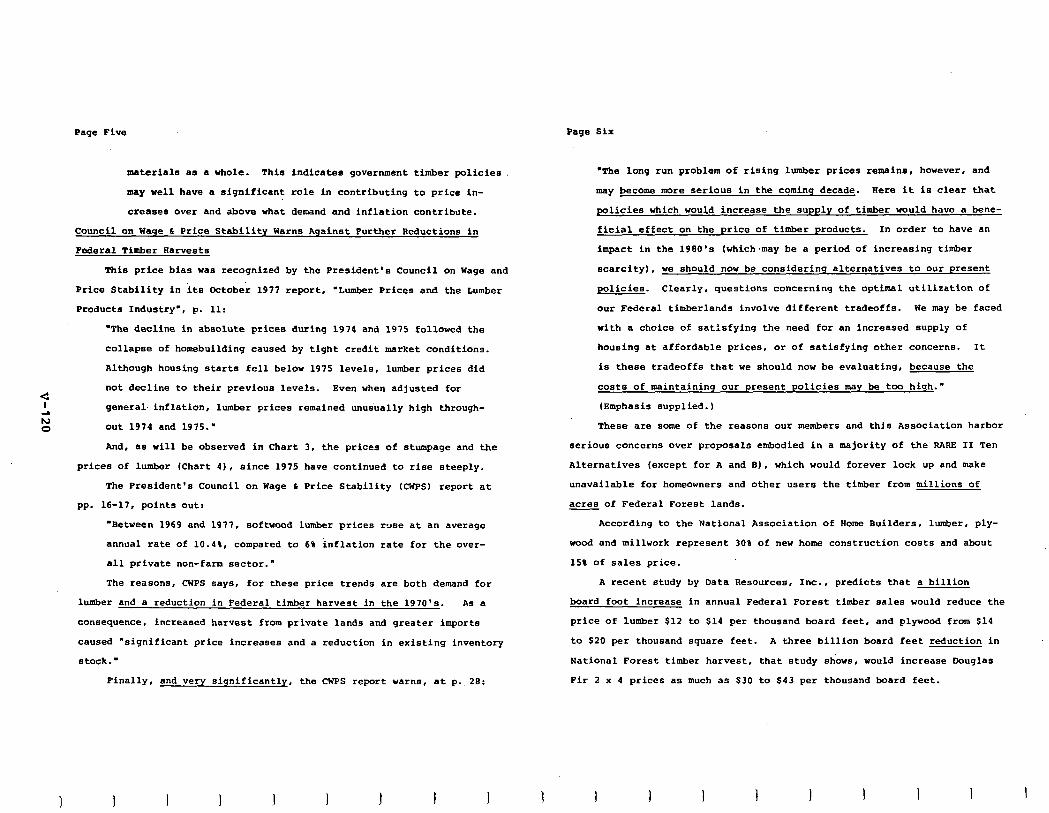
Page Five Page Six
materisls as * whole. This indicates government timber policies
may well have a significant role in contributing to price in-
creases over and above what demand and inflation contribute.
Council on Wage L Price Stability Warns Against Purther Reductions in
Federal Timber Aarvests
This price bias was recognized by the President's Council on Wage and
Price Stability in its October 1977 report, "Lumber Prices and the Lumber
Products Industry', p. 11:
-The decline in absolute prices during 1974 and 1975 followed the
collapse of homebuilding caused by tight credit market conditions.
Although housing starts fell below 1975 levels, lumber prices did
not decline to their previous levels. Even when adjusted for
general- inflation, lumber prices remained unusually high through-
out 1974 and 1975:
And, as will be observed in Chart 3, the prices of stumpage and the
prices of lumber (Chart 4). since 1975 have continued to rise steeply.
The President's Council on Wage L Price Stability (CWPS) report at
pp. 16-17, points out:
-Between 1969 and 1977, softwood lumber prices ruse at an average
annual rate of 10.4%, compared to 6% inflation rate for the over-
all private non-farm sector."
The reasons, CWPS says, for these price trends are both demand for
lumber and a reduction in Federal timber harvest in the 1970's. As a
consequence, increased harvest from private lands and greater imports
caused "significant price increases and a reduction in existing inventory
stock:
Finally, and very significantly, the CWPS report warns, at p.,28:
3 I I I 1 1 I I I
'The long run problem of rising lumber prices remains, however, and
may become more serious in the coming decade. Here it is clear that
policies which would increase the supply of timber would have a bene-
ficial effect on the price of timber products. In order to have an
impact in the 1980's (which,may be a period of increasing timber
scarcity), we should now be considering alternatives to our present
policies. Clearly, questions concerning the optimal utilization of
our Federal timberlands involve different tradeoffs. We may be faced
with a choice of satisfying the need for an increased supply of
housing at affordable prices, or of satisfying other concerns. It
is these tradeoffs that we should now be evaluating, because the
costs of maintaining our present policies may be too high..
(Emphasis supplied.)
These are some of the reasons our members and this Association harbor
serious concerns over proposals embodied in a majority of the RARE II Ten
Alternatives (except for A and El, which would forever lock up and make
unavailable for homeowners and other users the timber from millions of
acres of Federal Forest lands.
According to the National Association of Borne Builders, lumber, ply-
wood and millwork represent 30% of new home construction costs and about
15% of sales price.
A recent study by Data Resources, Inc., predicts that a billion
board foot increase in annual Federal Forest timber sales would reduce the
price of lumber $12 to $14 per thousand board feet, and plywood from $14
to $20 per thousand square feet. A three billion board feet reduction in
National Forest timber harvest, that study shows, would increase Douglas
Fir 2 x 4 prices as much as $30 to $43 per thousand board feet.
1 I 1 1 I 1 I I 1
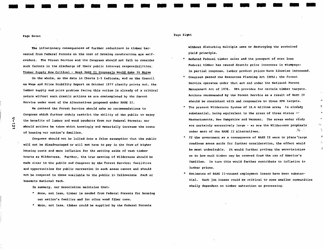
P*ge Seven
The inflationary consequences of further reductions in timber har-
vested from Federal Forests on the cost of housing construction are self-
evident. The Forest Service and the Congress should not fail to consider
such factors in the discharge of their public interest responsibilities.
Timber Supply Now Critical - Most RARE II Proposals Would Wake It Worse
On the whole, a5 the data in Charts l-5 indicate, and as the Council
on Wage and Price Stability Report on October 1977 clearly points out, the
lumber supply and price problem facing this nation is already of a critical
nature without such drastic actions as are contemplated by the Forest
Service under most of the Alternatives proposed under RARE II.
We contend the Forest Service should make no recommendations to
Congress which further unduly restrict the ability of the public to enjoy
:: the benefit5 of lumber and wood products from our Federal Forests; nor
;s a should actions be taken which knowingly and materially increase the costs
of housing our nation's families.
Congress should not be lulled into a false assumption that the public
will not be disadvantaged or will not have to pay in the form of higher
housing costs and more inflation for the setting aside of vast timber
tracts as Wilderness. Further, the true meaning of Wilderness should be
made clear to the public and Congress by the Forest Service: facilities
and opportunities for public recreation in such areas cannot and should
not be compared to those available to the public in Yellowstone Perk or
Yosemite National Park.
In summary, our Association maintains that:
a Wore, not less, timber is needed from Federal Forests for housing
our nation'5 families and for other wood fiber uses.
o Nore, not less, timber could be supplied by the Federal Forests
Page Eight
without disturbing multiple uses or destroying the sustained
yield principle.
. Reduced Federal timber sales and the prospect of even less
Federal timber has caused drastic price increases in stumpage:
in partial response, lumber product prices have likewise increased.
o Congress passed the Resources.Planning Act (RPA); the Forest
Service operates under that act and under the National Forest
Management Act of 1976. RPA provides for certain timber targets.
Actions recommended by the Forest Service as a result of RARE II
should be consistent with and responsive to those RPA targets. 3
* The present Wilderness System of 16.6 million acres is alrehdy z
substantial, being equivalent to the areas of three states Z-m i
Wassachusetts, New Hampshire and Vermont. The areas under sfudy .
are certainly excessively large - as are the Wilderness progsals .;
under most of the RARE II Alternatives. ,T$ -.
0 If the government as a consequence of RARR II were to place'large I
roadless areas aside for further consideration, the effect would .: \
be most undesirable. It would further prolong the uncertainties ;
as to how much timber may be removed from the use of America's
families. In turn this would further contribute to inflation in
lumber prices.
0 Estimates of RARE II-caused employment losses have been substan-
tial. Such job losses could be critical to some smaller communities
wholly dependent on timber extraction or processing.
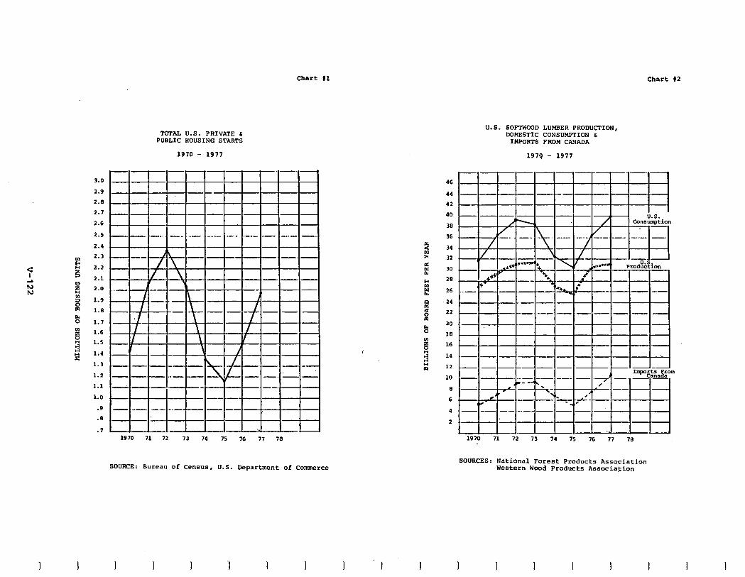
Chart #1 Chart #2
U.S. SOFTWOOD LUMBER PRODUCTION, DOMESTIC CONSUMPTION 6
IWORTS FROM CAYADA
1979 - 1977
TOTAL U.S. PRI\ \TE 6 PUBLIC HOUSING I rARrS
1970 - 197i
-
4Tl=F- - - -H-l-l- - - - -
--. .-. 46
44 -. ! - 42 I
40 _
38
36 -. . -.
34
3.0 -
2.9 -
2.8 __
2.1 -
2.6 -
2.5 -
2.4 -
2.3 m
2.2 -
2.1 -
2.0 ..-
1.9 -
1.8 -
1.7 -
1.6 -
1.5 ~
1.4 -
1.3 ,-
1.2 -
1.1 -
1.0 -
.9 -
.* -
.7 -
32
30
28
26
24
22
20
15
16
14
12
10
5
6
4
A I- . @Et - -- -.- _.- -
2
4 -.
-I ..- - -- BE -- -- -_- -
1910 71 72 73 74 75 76 77 70
SOURCE: Bureau of Census, U.S. Department of Commerce
19m 71 72 73 74 75 76 77 78
SOURCES: National Forest Products Association Western Wood Products Associa.tion
I 1 I I I I I 1 I I I I I
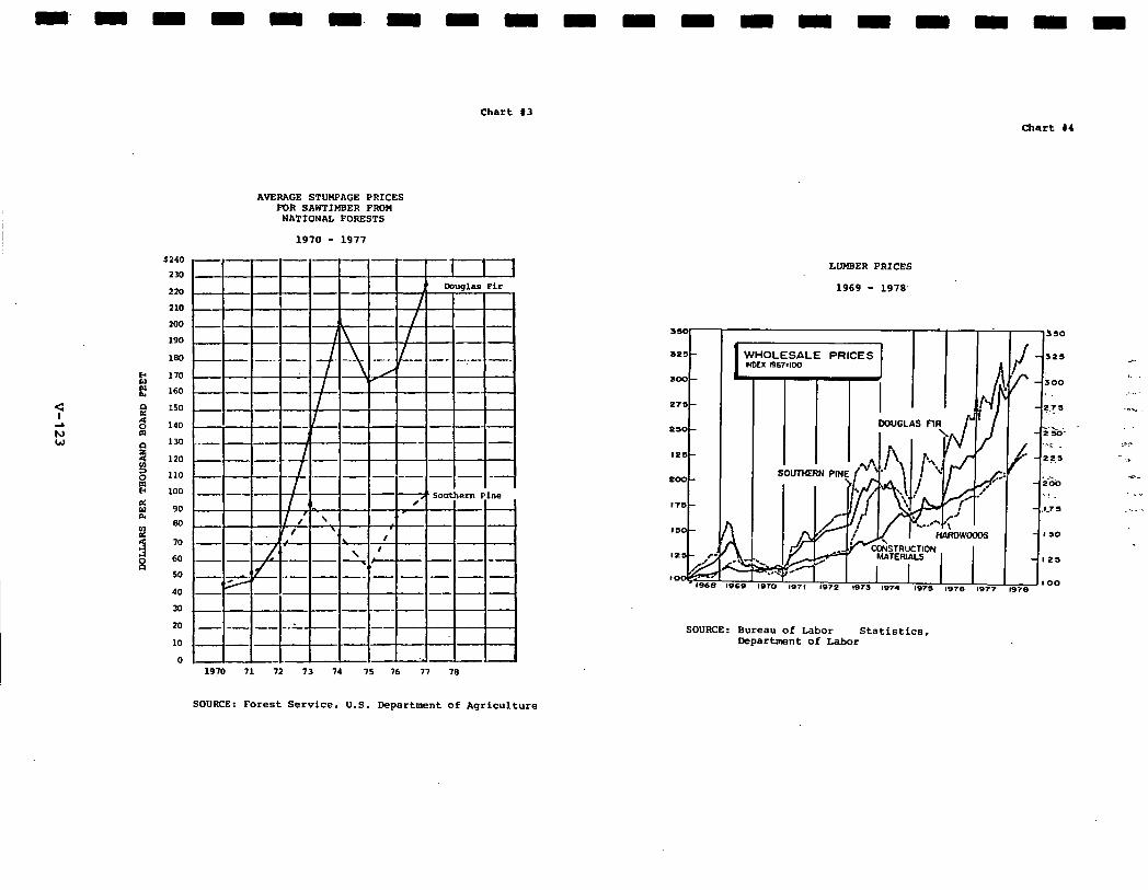
Chart 13
Chart #I
9 ;s W
AVERAGE STUMPACE PRICES FOR SAWTIMBER FROM
NATIONAL FORESTS
1970 - 1977
1970 71 72 73 74 75 76 77 78
LUUBER PRICES
1969 - 1978.
.
I WHOLESALE PRICES mu R67.Ioa I TTm
SOURCE: Bureau of Labor statistics, Department of Labor
-
rl r
G:
SOURCE: Forest Service, U.S. Department of Agriculture
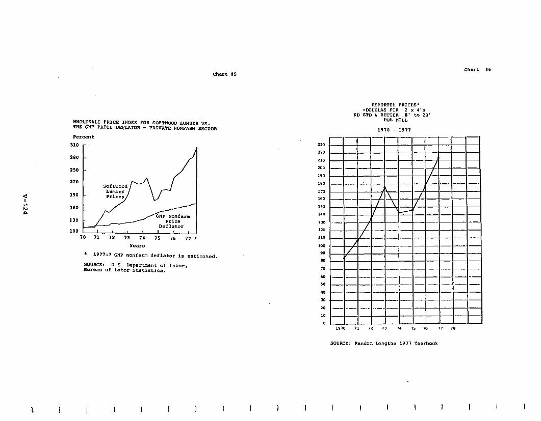
Chart 15 Chart 16
REPORTED PRICES' -DOUGLAS FIR 2 x 4's
KD STD b BETTER 8' to 20' FOB MILL
WHOLESALE PRICE INDEX FOR SOFTWOOD LUHEER VS. TRE GNP PRICE DEFLATOR - PRIVATE NONFARM SECTOR
Percent
310 r
190
160
130
100
Price Deflator
I I I I I I I I A 70 71 72 73 14 75 76 77 l
Years
l 1977x3 GNP nonfarm deflator is estimated.
SOURCE: Bureau of
U.S. Department of Labor, Labor Statistics.
I I I
234
220
210 200 190
120
170 ~ 160
150
140
130
120
110
100
90
80
70
60 50
40 30
20 10
0 1970 71 72 73 74 75 76 77 78
SOURCE: Random Lengths 1977 Yearbook
1 I I 1
RRRRRRRRR
National Wildlife Federation. 1112 16TH ST.. N.W.. W*SnlNcrON, 0.C ZmH phw- 102-7B,-ma
September 29, 1978
Mr. Steve Yurich Regional Forester U.S. Forest Service-Region 9 Clark Building 633 W. Wisconsin Avenue Milwaukee, Wisconsin 53203
Dear Wr. Yurich:
Enclosed is a copy of our conrments on the 'programmatic* BABE II statement. Our original is being submitted to the
7 Washington office.
;s We hope that you can give these your personal attention
l.n and that they may be of some use to you in formulating your proposals for the Chief.
Sincerely,
I PCK:srb
I Enclosure
I
Peter C. Kirby Counsel
OCT Pfim
i- .---~ ___
RRRRRRRRRR
National Wildlife Federation .._-_---.- ----__ ___. =_.-.. . , September 29, 1978
COHHBNTS OF TBE NATIONAL WILDLIFE FEDERATION ON TBE DRAFT ENVIKONMEWTAL STATEMENT FOR TBE SECOND BOADLESS AREA REVIEW
AND EVALUATION (BABE II) OF TBE U.S. FOBEST SERVICE
The National Wildlife Fe&ration welcomes this opportunity to
comment on the Draft Environmental Statement (DES) for BApE II. This
process provides a promising opportunity for the Forest Service and
the American people to take a comprehensive look at what part the ~
remaining 62 million acres of roadlese and undeveloped National .:
Forest land should occupy in the National Wilderness Preservation
System. Whether 9ABE II will, in the end, be judged a success will
depend upon our having a realistic and modest expectation of what _l'
can fairly be accomplished in this accelerated land-use planning
effort. It would be a mistake, we believe, to expect to resolve _
all or mOst of the complicated and difficult questions of the future
of National Forest wilderness in a sinqie undertaking; RARE II,
howaver, can allow for the allocation of a significant portion of
the acreage into either wilderness or development uses, with a sub-
stantial remainder to be studied further.
The National Wildlife Federation is a non-profit conservation
education organization with headquarters in Washington, D.C. It has
over four million members and supporters , with affiliated groups in
all fifty states, Guam, Puerto Rico and the Virgin Islands. These
individuals and groups engage in a wide variety of activities
-2-
National Wildlife Federation RARE II Coaraents
-3-
National Wildlife Federation FiARE II Comments
on the National Forests. Ihe NWP strongly believes that our public
forest land must provide for a sound balance of uses, including
necessary opportunities for development along with the preservation
of sufficient amounts of wilderness.
These cements will be addressed primarily at the .'prograranatic'
DES. Hany of our affiliates have conauented on the state and regional
supplementat our comumnts on the overall process reflect many of
their concerns. As the Forest Service requests, we will be conuuent-
ing first on the proposed decision criteria and aecondl'l on the
:: approach to alternatives. At the outset, however, we re~umu? nd that
4 the Forest Service issue a revised draft statement for another
round of public commsnt with its preferred alternative specifically
identified and explained. We believe that a revised draft, building
upon mts on the present draft, could very helpfully focus
attention and response on what the Forest Service will ultimately be
doing. Public c,ummnt on a second draft containing a preferred
alternative could take advantage of the revised and refined data
released earlier this month but too late to be very useful in this
round of coaamnts. The additional tim and expense involved in issuing a
revised draft would be justified by the greater consensus and
understanding which might be achieved.
In the Federal Register notice of September 13th about the
release of the additional data the Poorest Service explsined that no
extension of the coummnt psriod was poaaibla becauee of the
l Akninistration's wumD.trent' to coa@eting SASS II by the end of
1 I I I 1
1978. This brings us to our second reconmtendation - which we urge
with ad&d emphasis in the event a revised DES will not be done -
that the responsible resolution of RARE II is to return a substantial
portion of the roadless acreage to further planning. As we will
discuss in mom detail below, there are difficulties with data,
public torment, RPA analysis and the formulation of alternatives
which make it inappropriate to resolve mDst of the roadless alloca-
tion in this undertaking. RAPS II, however, will allow the Forest
Service to satisfactorily allocate significant amounts of madless
area in the following manner:
Tbose areas which clearly show high potential for resource uses other than wildemsss and those areas clearly unsuitable for wilderness designation should be recommended for non- wilderness classification. Areas with high wilderness values and which contribute toward the National Wilderness Preservation System goals should be reconumnded for wilderness classification. Other areas should be designated for further study.
Under a formula such as that stated above, we believe that a
substantial amount of area should be returned to further study.
For example, through the forest planning process, a wet/benefit
analysis can be made of much of the marginal timber lands, alloving
a arxe accurate evaluation of the economic benefit forgone from
wilderness designation. n~re accurate disclosums through forest
planning may also achieve greater consensus on re coaamandations
for or againet wilderness. In PAPS II, much of the wmenting
I I I I I
-Q-
National Wildlife Federation RAIU II Comuents
public did not have the benefit of the relative economic ratings
of roadless areas developed through the gDevelopment opportunity
Rating System. (DDILS) and made available in mid-September. Return-,
ing substantial areas to further planning would, in sum, be con-
sistent with the original intent of RAPS II to reach consensus on
as many areas as possible concerning their allocation to either
wilderness or development and to return to further planning those areas
on which further analysis of trade-offs should be done for making
sound recommendations.
:: I. PRDPDSED DECISION CRITERIA cl 4 A. RPA Program Goals. The first decision criterion proposed
by the Forest Sertrice is that 1975 RPA program targets will be .a
major consideration' in the allocation of roadless areas and the
development of a final decision. In general, the National Wildlife
Fe&ration supports the Pasources Planning Act (SPA) as providing a
sound approach to establishing gbals and budget.levels. liowever, in these
circumstances we strongly counsel the Forest Service against inflexible
adherence to PPA targets, particularly at the regional level.
The Forest Service had to prepare the 1975 SPA Program to xmet
an early deadline under the WA, passed in 1974. These goals are to guide
the operation of the Forest System and are, as NPA envisions, a major
'consideration" in decisionmaking. As the term, 'consideration",
implies, these goals are not to be inflexible determinants. Alloca-
tions should not be governed by 1975 goals that have been found to
-5-
National Wildlife Federation RARE II Comments.
be unrealistic. The Forest Service is no doubt coordinating
PAPS II as closely as possible with the 1980 review and update
of the Assessment and Program so that the NPA targets are
current and realistic. Further reason for caution about FIPA
targets as determinants is that the 1975 Program did not make
allocations of outputs to roadless areas as such, thus bringing
in a great deal of judgment now in attributing percentages of RPA goals
to roadless areas. Finally, President Carter has not submitted a State- i -
mant of Policy to Congress , as authorized by Section S(a) of the - -'
RPA, 16 W.S.C. 91606(a), about the extent to which this Administra=
tion adopts the 1975 Program as it+ policy. In our view, the e' ':' -2
Administration's 'nonpolicy' on RPA goals further affirms the : -I .,
latitude the Forest Service should exercise in applying PPA goals
flexibly and realistically.
Prom the above discussion, we would draw two conclusions
pertinent to PARE II. The first recommendation, as noted, is that
the decisionmaking, particularly at the regional level, be struc-
tured to allow for departures from 1975 Program targets. Short-
falls should be quantified, if possible, and explained. Our
second rewmnrendation, reletid to the first, is that the Forest
Service should not consider itself bound by the 1975 target for
wilderness. This target is set for between 25 and 30 million
acres (DES at 50). but the Forest Service data shows that a greater
anuunt could go into wilderness while still providing conmDdity
-6-
National Wildlife Federation BARE II Ccxmmnts
-7-
National Wildlife Federation BANE II Cormaents
outputs within the BPA range. Khier Alternative I almost 40
million of the 62 million acres of roadless area could go into
wilderness while still allowing timber sale offerings within Ule
BPA range. DES at 50.) We are not suggesting that BABB II should
necessarily put into wilderness and further planning the~maximum
smount allowable within other BPA constraints. But judging from
the available evidence we do believe that the Forest Service does
:: have much latitude to mwxramd a higher wilderness total than the
1975 target without detracting from the other goals of National
Forest policy.
8. Consensus. The next criterion proposed is that general
public agreement will be sought on allocations. We think signifi-
cant weight should be attached to this factor, tempering its we,
however, as the DES suggests , with national objectives and needs.
Use of this consensus factor means not only that areas of agreement
CM be allocated at this stage, but also that areas of controversy
should often be studied further. We support the significant use of
this factor, in other words, provided that it is used evenhandedly,
justifying further study as well as allocation for or against wilder-
ness. We also support the consensus factor only if it is used with
care and caution. As noted earlier, the Forest Service released
refined data in mid-September about the relative ewnoraic rankings
of roadless areas. The National Wildlife Fe&ration urged Chief
McGuire to extend the deadline beyond October 1st so the interested
1 I I I I I I I
public could take these ratings into account. (See letter of
September lE, 1978, attached to wahments.1 After all, one of
the major complaints to date was that the DES lacked cost/benefit
data about wmmdity value foregone. We do not know how the avail-
ability of these ratings ( or the findings of the "trade-off' study
released in mid-September 1 would have affected consensus on given
areas. Perhaps this means that a high level of consensus should
be sought before making allocations for or against wilderness.
C. Economic Impacts and Commodity Outputs. The DES proposes
measuring the costs of wilderness allocations in terms of commodity
outputs foregone and the effects on community stability. Special
consideration will be given to areas with proven or high potential
timber, mineral and energy resources. As a general principle the
National Wildlife Fe&ration supports the view that, in choosing
among roadless areas for wilderness, lands with low ewnomic
potential ought to be preferred to areas with high resource potential,
absent other overriding circumstances. We do have some reservations,
however, about the actual uses of this approach in the DES. As noted
before, the biggest drawback is the lack of a fair and comprehensive
cost/benefit analysis of the wilderness versus development options.
Wuch useful data, e.g., on narginal timber land, will be developed
thmugh the forest planning under the new rules mandated by the National
Forest Wanagement Act. We have already expressed our preference
I I I I I 1 I
-e-
National Wildlife Federation RARE II Comments
for returning substantial acreage to further planning for this
reason.
Another drawback is the use of total potential timber yield
for given roadless areas in the determination of allocations. DES
at 22. (Pour million board feet annually in the West, two million
board feet in the East.) This approach, also used for grazing and
recreation losses, discriminates against larger roadless areas, and
not necessarily in a rational way. There may be a number of smaller
areas with high productivity per acre which together may represent
more timber resource forgone than a larger madless area equal in
size to the total of the smaller ones, with less productivity per
acre. Yet by the DES standard the larger area may be allocated to
development. If there is to be a preference against larger areas
as such, it should by an express standard,.not an indirect bias
against .total. productivity. Also of ~ncem is that the proposed
discrimination against larger areas on the resource4 swre appears
to run counter to the dasirable preference for larger areas on other - measures. On landfom representation, for instance, the Forest
Service states a definite need for -substantial acreage' in the
examples selected. DES at 24. Similarly with wilderness-associated
wildlife, some of the species, like grizzly bear, depend on the
undisturbed solitude found in the larger areas. Because we. support
these additional characteristics for their value in 'rounding out'
the wilderness system, we are concerned that the discrimination
-9-
National Wildlife Federation IfAm II Comments
against large areas in the resource measure will adversely affect
the availability of large..areas for meeting the landform and wild-
life features. We recommend that the Forest Service use Soms
per-acre. rmasure of timber and grazing productivity instead'of the
proposed approach of total productivity.
Another related standard pmposed for use is that wilderness
allocations will not be made which will have a significant adverse
impact on community stability or employment. Special,concem for
local efforts is, of course, essential if RARE II is to reach ari
acceptable accomxodation of the.wnflicting demands on the roadless
areas. As with the criterion of resource potential, our primary‘
wncem is that this other standard be used in an informed, uniform -
and accountable manner. Our concern is heightened because of Alter-
native li which allocates areas on the basis of "local and regional
issues' as perceived by the Regional Forester. This is an approach
which largely incorporates the judgment about roadless areas and
wnrmunity stability and employment. Under this Alternative a
relatively low percentage of areas (11A) would go into wilderness
and an even lower percentage (59) into further planning. DES at 32.
(The amount in acreage is 16A and lit respectively.1 The Regional
Foresters will play a critical role in formulating final proposals
for consideration by the Chief, Assistant Secretary and Secretary.
This Alternative, then, provides an important indication of what
may lie ahead in the exercise of the 'local need' standard. In
-lO-
National Wildlife Federation RARg II Comments
-ll-
National Wildlife Federation PAPZ II Comreente
terms of the results, we hops that this standard will not mean that
so little land goes into further study. Because of the potential
significance of the local need factor , we also urge you to set
strict requirements for the explanation and docuwntation of any
decision taking an area out of wilderness or further planning on
this basis. Included in such a decision should be a req$red
consideration and disclosure of the wwnunity stability and employ-
ment which might reasonably be expected to be created as a result
- of wilderness designation. It may be that in some areas non-
:: resource-based industry will be attracted to communities with pmxi-
2 mity to wilderness, thus resulting in sure jobs than further develop-
0 wnt of roadless areas. Each case of local effect will have to be
assessed and judged separately, of course, but RARE II should build
in a consideration of possible positive economic effecte of wilder-
ness along with a determination of possible negative effects.
D. .Sounding Out" the Wilderness System. The National Wild-
life Federation supports, in principle, the use of wilderness
attribute ratings and the use of the additional characteristics of
landform, ecosystems, wilderness-associated wildlife and accessibility
and distribution. These standards hold the pmmise of achieving a
wilderness preservation system of high quality and diversity.
Our support for numerical ratings of wilderness attributes is
grounded in our view that the wilderness system should consist of
areas of high quality, as measured by the basic terns of the Wilder-
ness Act. There must be room for taking other factors, such as
accessibility, into acwunt in favoring wilderness, but generally
the areas of highest quality should be the ones designated. Done
well and fairly, a rating system could undoubtedly be a useful
tool in making selections of high quality among the eligible areas.
In commenting on the prograxmnatic BIS, we do not really have
the perspective to evaluate the structure and the operation of
this "wilderness attribute rating systems (WARS). We realize that
any system of quantifying attributes such as 'opportunities for
solitude9 can be abusively appliedr' we hope many of the ccsramnts
will be directed at WAIB' weaknesaas and that the final RARE II
will incorporate the wrrections. Where strong disagreetint is
evident about the fairness of ratings this may be reason to study
the area's attributes further, with less rush and involving more
people. Indeed, from our reports from field staff and our state
affiliates, we have seen a growing wncem about the lack of quality
wntrol and the influence of strong biases in the ratings. The
reports forwarded to .us have criticized the lack of consistency in
ratings, so that seemingly .favored* areas emerge with higher marks
despite close similarity to other areas. We urge that there be
careful attention to such consments in the review period.
As noted, we wish to express our support for the use of the
additional characteristica and to endorse decision criteria requir-
ing the highest levels of their representation. Indeed, the lasting
1 I I I I
-12-
National Wildlife Fe&ration RARE II Comments
value of PAPS II may be the identification of these national
needs and the achievement of them in a comprehensive and coordinated
undertaking. Planning for a wide representation of landforms, for
instance, might be very difficult to carry out in the many individual
studies of individual forests. Significant weight should be attached
to these factors. It may not be as imodiately appealing to prefer
an area filling an l ecosystem' gap to an area with a higher WARS
rating, but such preferences are often justified. As with endangered
species, we need to preserve a wide diversity of natural areas for
our awn genetic and scientific good. As Aldo Leopold put it, Vbe
first rule of intelligent tinkering is to save all the pieces'. So
:: too the goal of accessibility and distribution ought ta be weighed
2 significantly in this national review because it may be difficult A
to take it into account in individual forest planning.
Finally, we wish to express support particularly for the use
of the characteristic of wilderness-associated wildlife. There are
a number of reasons for according significant weight to this factor.
Congress recognized in the Wilderness Act that certain areas should
be set aside not only for their presemation and protection as wild
amaas but also for *the use and enjoyment [by] the American people'
of their wilderness character. 16 U.S.C. S1131(a). Much like
features of scenic value, the presence of wilderness-associated
wildlife is traditionally looked to as one of the measures of a
wilderness experience. It is fitting that one of the goals sought
in 'rounding out. the wilderness system should be an aplele representa-
tion of those s~cies. Recognizing that individual expectations will
-13-
National Wildlife Federation RARE II Conments
vary widely, we would agree that PARS II has identified many of the
classic types associated with wilderness, such as the loon, the wolf
and the muntain goat. Providing a high level of representation of
these species will enhance the public's appreciation of wildlife as
an important element of wilderness, both for the visitors who
experience them and for much of the public that takes pleasure know-
ing that they are there.
Left unexplored by the DES, however, is how the weight of this
factor should be judged in relation to the effect of wilderness
designation upon the species themselves. For sore of the species; . . :
like wolf and marten which depend on undisturbed areas or old growth, :.
the preservation of wilderness will generally benefit the animal .' '
itself. Eowever, as the DES admits (p. 25), some of the species,"-' :7
2 ._ elk being a good example, are not biologically dependent on wilder-
If it is necessary to devise priorities aInmg species for _ .: ness.
meeting the wildlife *gaps in the system, we would urge.a preference
for representing the sore wilderness-dependent species since their
welfare would be mre directly benefited as a result.
While in no way diminishing our support for the wildlife
criterion, we would like to share two other wncems. As we look
at the listed gaps for the two levels of representation, DES at 90-91,
we see that there am often far many sure potential areas than are
needed to achieve even the higher Level II. (The Level II gap for
lynx is 7 and the potential areas number 309s for mountain goat the
-14-
National Wildlife Federation BAm II Coamunlts
-15-
National Wildlife Federation RARE II Comments
respective figures are 18 and 341.1 Given these figures the question
arises why RARE II did not formulate a 'Level III., with higher
representations, such as presence in 75 units for widely distributed
species. RARE II did formulate a Level III for ecosystem and ,
accessibility and distribution. DES at 26. Why was the wildlife
criterion treated differently? As noted, the DES figuds suggest
a higher level would be feasible.
Our next concern, which may provide the explanation for the
limit to two levels, involves the relationship of the wildlife goal
:: to the other three goals. Criteria such-as ecosystem representation
2 and accessibility ordinarily require that areas be widely distributed. w For some of the wildlife species, however, such as grizsly bear, a
high level of representation may maan that certain localized areas,
where the species has a limited range, are favored for designation.
We wonder if the four criteria may thus be somewhat at odds, three
favoring distribution of wilderness areas and one weighing towards
geographical clusters. In making this inquiry, we note from the
DES that the Forest Service has apparently sought to assign the *gaps'
for each species to as many regions as possible. As mentioned, we
support all four criteria and hope that this listing suggests that
conflicts have been minimized.
I 1 I I I I I I I
II. ALTERNATIVES
A. Allocations. Wany of the comments we have seen and heard
from organized conservation groups and private individuals are
sharply critical of the range of alternatives in the DES as being
heavily slanted towards non-wilderness use. The statistics bear
out this impression: for the seven realistic alternatives in the
DES, on the average 768 of the roadless areas are allocated for
non-wilderness while only 17t are proposed for wilderness. It is
unfortunate that the alternatives generated by the Forest Service
achieved this distribution. While the public is encouraged to draw
up new alternatives, there is normally a tendency by readers to
select from among the choices displayed or within the ranges proposed.
Forest Service officials concede that the alternatives are weighed
in favor of development uses but note repeatedly that their final
choice is not restricted to outcomes from the displayed alternatives.
Whether this is so or not, it remains the case that public comment
will have been greatly influenced by the slanted range of alternatives.
And since public comment about alternatives will be figured into
the final decision, it appears to us that there will have been a
real impact from the DES range , even if the.Forest Service considers
itself not bound by them.
As noted in our introductory remarks, the logical next step
in RARE II would be to issue a revised DES with the preferred
alternative identified along with the other alternatives which will
realistically be considered. This will allow for mDre focused
I i I I I
-16-
National Wildlife Federation RARE II Comments
public comment on the proposed course of action in the setting,
we would hope, for a IIy)re balanced set of alternatives. Of
benefit, for example, would be an alternative on the minimum
amount of acreage needed to wet the RPA goals for the roadless
areas. The Federal Register notice of September 13th indicated
that such data is being developed and will be released when
complete. These figures, on a regional and national level, would
not necessarily represent a desirable level for the total amount
allocated to non-wilderness use. Aowever, an alternative based
on these figures could provide a useful starting point for public
commants on how much wilderness could reasonably be expected without
the sacrifice of commodity goals.
As for our own view, we would be in a much better position
to endorse a concrete alternative if there were a revised DES of
the type suggested. In these comments, we cannot endorse any of
the particular alternatives set forth. Our preference, as we
explained at the outset, is for a sorting out of the clear and
agreed allocations for wilderness or for development with a sub-
stantial amount, perhaps even up to 50 or 60t,of the roadless
acreages returned to further planning. As we also said at the
outset, given realistic and modest expectations of what can fairly
be achieved in this accelerated effort, RARE II can still be
judged a success with such an outcome. Despite the commitment of
much land to further planning, there would have been a resolution
National Wildlife Federation RARE II Comments
of conflict over a significant amount of roadless area. Not only
does this resolution come more rapidly, in advance of the forest
planning not required to finish until 1985, but this resolution
will have been reached in a national review of what the wilderness
system should contain, rather than exclusively in individual forest
planning.
8. Impacts. We have already discussed the need for more 7.
cost/benefit analysis of the wilderness versus development options.
There is additional data which we should be developed or disclked
I.
': to allow for a better evaluation of impacts.
__- With respect to economic impacts, the summary tables which
:.A.- compare the outputs and effects of alternatives, DES at 61-64, baize
..yi the long term levels of outputs upon the full implementation of
:,:,- resource management plans. This data is designed to show the high
potential of outputs that can be realized from the roadless ar;a
f' Y.
.-
2.
resources. A necessary assumption of these calculations, we would
presume, is that the Forest Service will be receiving full budgeting
at the RPA levels in order to implement these plans. We would
strongly urge the Forest Service to develop a similar table based
on some assumption of underfunding of its budget requests. The
Forest Service has traditionally been funding at lesser amounts than
it considered necessary to meet potential goals. Under RPA, most
recently, the agency has been receiving about 85% of the levels
SIERRA CLUB 530 Bush Street San Fran&m. California 94108 (41.5) W-8634
September 29, 1970
John R. HcGulre, Chief
U.S. Forest Service. U.S. Department of Agriculture p.0: Box 2417 Washington. D.C. 20013
Dear nr. llccutre:
Enclosed are the comncnts of the Sierra Club on the “RARE II: Draft Envlronmntal Ipact Statement on the Roadless Area Review and Evaluation.”
I I I I
Assistant Conaervatlon Director
I
COMNENTS OF THE
SIERRA CLUB
AND THE
NATURAL RESOURCES DEFENSE COUNCIL, INC.
ON THE
UNITED STATES DEPARTMENT OF AGRICULTURE, FOREST SERVICE'S
DRAFT ENVIRONMENTAL STATFHENT
ON THE
ROADLBSS AREA REVIEW AND EVALUATION (RARE II)
September 29, 1978
I I
TABLE OF CONTENTS
Page
I. Procedural Flaws in the RARE II Program Resulting in DEIS Inadequacies . . . . . 6
1. Incomplete Inventory ........... 6
2. Speed Before Quality ........... 8
3. Minimization of the -Further Planning' category ............. 10
4. Basic Decisions Out of Step with Resources Planning Act ........ 11
I. Roadless Area Evaluations Inadequately Performed .................. 15
1. WARS .................... 15
2. Resource Outputs .............. 17
3. Minerals and Energy ............ 18
4. Timber .................. 19
5. Grazing .................. 20
6. Recreation ................ 20
7. The Ecosystem Criterion .......... 21
8. Landform Criteria ............. 22
9. Geographic Distribution and Accessibility ............... 23
10. Wilderness-Associated Wildlife ....... 24
11. Additional Criteria ............ 26
III. *Affected Environment' Inadequately Described .................. 27
IV. Impact Modeling ................ 29
1. Timber .................. 30
2. Recreation ................. 32
3. Grazing .................. 32
4. Population ................. 32
TABLE OF CONTENTS (cont.7
5. Page
Economic . . . . . . . , . . . . . . . . . . 33
6. Housing .................. 39
7. Balance of Payments ............. 40
8. Energy ................... 41
V. Alternatives ................... 42
VI. Decision Criteria ................ 45
1. RPAGoals.................. 45
2. Commodity Outputs h Community Stability . . . . . . . . . . . . . . . . , . 45
3. National Issues . , . . . . . . . . . . . . . 45
4. The Evaluation Criteria ........... 45
5. WARS Rating ................. 46
6. Need to Allocate; Grassland Bias ................... 46
VII. Conclusion ................... 49
-ii-
-i-
-2-
COMMENTS OF THE SIERRA CLUB AND TUE
NATURAL RESOURCES DEFENSE COUNCIL, INC.
ON THE ROADLESS AP.SA REVIEW S EVALUATION (RARE II)
DRAFT ENVIRONMENTAL STATEWSNT
These comments are submitted on behalf of the Sierra Club
and the Natural Resources Defense Council, Inc. (NRDC). The
Sierra Club, whose principal office is at 530 Bush Street,
San Francisco, California 94108, and which has additional
offices in Seattle, Washington; Anchorage, Alaska; Sacramento,
Arcata and Los Angeles, California: Santa Fe, New Mexico;
Madison, Wisconsin; New York, New York: Washington, 0. C.: and
Lander, Wyoming, has a membership of approximately 180,000
persons. The Natural Resources Defense Council, with offices
in Washington, D. C., New York City, and Palo Alto, California,
2 m has a membership of over 40,000 persons. Roth organizations
are actively involved in effort3 to improve management of the
nation's natural resources.
The Sierra Club and Natural Resources Defense Council,
Inc. believe that the Draft Environmental Statement
prepared by the Forest Service on the Roadlcss Area Review and
Evaluation (RAP.S II) does not meet the requirements of the
National Environmental Policy Act. The Statement (hereinafter
'DEIS') is legally inadequate in many important respects,
including its failure to present a reasonable range of alter-
natives, it3 failure to thoroughly and objectively evaluate
the impact3 of the alternative3 presented, and its failure
to explain the underlying justifications and premises of PARR
II in order to permit understanding of the program by both
I .I I I I I I I
the public and interested governmental decision-makers.
Additional flaws in the RARE II process are the inadequacy
of the data used in the preparation of the alternatives. Fur-
thermore, the methodology used is at best illogical and at
worst seriously biased.
In these and other aspects, the DEIS is seriously
deficient and provides a basis only for further Forest Service
action toward implemnting RARE II in the mo3t limited fashion --
&., only those areas on which overwhelming evidence and almost
total consensus exist can be allocated to the wilderness or
non-wilderness categories based on the weak analysis of this
docurraent. All other area3 should go in the Further Planning
Category. Unle3S this limited route is taken, the Sierra Club
and NRDC urge the Forest Service to improve, correct, and re-issue
the Draft EIS, in order that both the government and the public
can understand and respond to the proposed action intelligently
before important decisions are made.
In order to fully understand how the RARE II program has
failed so seriously to fulfill its goals, it is important to
review its original intent. In his Wessage on the Environment
to congress on Hay 23, 1977, President Jimmy Carter said:
"When the Congress passed the Wilderness Act in 1964, it established 3 landmark of American conservation policy. The National Wilderness Preservation System created by this Act must be expanded promptly, before the most deserving areas of federal land are opened to other uses and lost to wilderness forever."
In his testimony in support of the Endangered American Wilderness
Act, the Assistant Agriculture Secretary M. Rupert Cutler said:
-The nation's wilderness has, indeed. become a vanishing resource, and much of it is vulnerable to 1033. The Carter Administration ha3 committed itself to provide protection for these lands within the Wilderness System. This department will pursue that goal with a new setwe of urgency.'
I I I I I I I I I
To carry out this commitment, Dr. Cutlor told the congressional
cormnittee: " . . . we are going to take another complete look at the roadless and undeveloped lands in the entire National Forest System. We intend to categorize these undeveloped lands into three types . . . . One category will be areas which will becom wilderness immediately. The second will be areas which need more study before the Congress can make its decisions as to whether or not to designate wilderness. The third cate- gory will be the remaining areas which require no further consideration as wilderness and thus would be devoted to other than wilderness uses.’ (Statement to Ii. Subcom. on Indian Affairs 6 Publ. Lands, H. Int. Comm., Bay 6, 1977.)
RARE II was intended to be a comprehensive program to
completely re-examine the roadless area/wilderness question.
It was to assemble a rigorous data base covering the trade-
offs and opportunity costs of each roadless area. It was to
be a refinement of and improvement over the RARE I process.
It was to proceed without preconceived notions, to avoid
confrontation, to provide the public with useful data, and
to achieve a consensus in allocating 301113 of the roadless areas
evaluated.
The Forest Service declared that all roadless areas would
fall into one of three categories:
'(1) Those that should be recommended to Congress for wilderness designation; (2) those that should be managed for nonwilderness use; and (3) those on which decisions should be deferred to allow additional planning for all options. The last category will include areas on which available data are insufficient, or on which further analysis of tradeoffs must be made to draw sound cOnClUsiOn3~ or on which a reasonable consensus cannot be reached.' (Emphasis added.) "RARE II: A Quest for Balance in Public Land Use," FS-320 Pamphlet (May, 1978). See also, 42 Fed. Req. 59688 (Nov. 18, 1977); 124 C0ncRcc.S. 5997 (April 19, 1978).
The role of the environmental impact statement in this
process is to present the decision-makers and the public with a
-4-
thorough, unbiased assessment of the options available to the
government in making choices from among a reasonable set of
alternatives. Thus, the DEIS and the process itself should
include an array of feasible alternatives and adequately assess
the environmental impacts of these options. An impact statement
should not be conclusory and should represent a good faith attempt
to include all relevant alternatives. Data of sufficient quality
and detail to effectively evaluate the options must be acquired
and utilized.
There are three basic failings in the RARE II program
as presented in the DEIS:
(1) The results of the program are to a large extent dic-
tated and dominated by unexplained structure and methodology,
and by arbitrary threshold values. Targets, percentiles, and .:
numerical cutoff levels are presented as faits accomplis, without.
any explanation of their origin, the rationale for their use, .
or discussion of alternative systems. This prevents meaningful .
public input on the basis of the program. While the Forest
Service does ask for comments on some of the procedures and ._
standards used, there are many implicit decisions buried deep
in the process, remote from public scrutiny, which have a very -
great influence on the product.
(2) A strong prejudgment against wilderness classification
is shown in many of the sections of the DEIS.
(3) The RARE II DEIS attempts too much for one EIS. It
tries to establish alternative approaches to decision-making,
to set wilderness goals, to evaluate and compare roadless areas,
and to make final selections of roadless areas for wilderness
all at once, without offering alternatives for any but the final
-5
selections. Each of these step3 is a major action requiring
lengthy agency attention and public cosmtent. The haste, brevity,
and confusion of the present RARE II program effectively obscure
many important steps. Perhaps the most shocking indication of the
multiple objectives of this DEIS -- and of the illogic of pur-
suing them simultaneously -- is the fact that at one and the same
time the DEIS proposes 'criteria and approaches to be utilized .
in making a decision and the allocation of specific roadless -
areas for either wilderness or nonwilderness USE.* (Emphasis
added.) (DEIS, p. 1.1 (See aleo, pp. vii, 107.1 In short,
the Forest Service is offering the public a set of possible
-7
questions which it may ultimately ask and of possible answers
A which it may ultimately give. Apparently it is only at the
g final phase of RARE II -- when the decision3 ar3 actually made --
that the public will find out exactly what questions the Forest
Service decided to ask and what answer3 it decided to give. This
confusion of general process questions and specific application
questions in the sams Draft EIS means that the public will never
have an effective opportunity to determine whether the Forest
Service ha3 given the e answer3 to the questions it chooses.
NEPA certainly intends, at a minimum, to give the public a firm
opportunity to know just what proposed course of action a federal
agency contemplate3 before any decision i3 made. The Forest
Service, in violation of this statutory purpose, has presented
the public with a moving target, whose speed and uncertain con-
tours make effective public response close to impossible.
I I I I I I
-6-
1. PROCEDURAL FLAWS IN THE RARE II PRGGRAH RESULTING IN DEIS ~NADEGUACIES.
Basic decisions concerning the structure of the RARE II
program, its operational principles, its scope, and its haste have
diverted the program from it3 goal of providing an effective and
fair evaluation of the wilderness potential of roadless Forest
Service lands. These flaw3 cause serious inadequacies in the
DEIS.
(1) Incomplete Inventory -- RARE II was proposed 33 a
comprehensive national reevaluation of the roadless area/wilderness
question within the entire National Forest System to remedy the
failings of earlier planning processes. However, it was decided
early in the RARE II program to exclude virtually all lands that
had been dealt with in planning studies since 1973, regardless
of the deficiencies in those plans.
The inventory was to be composed in part by the following pro0e.33:
. 3(a) Add any area3 missed in the original inventory. These areas should:
il Contain 5,000 acre3 or more, or
ii) Contain less than 5,000 acres but due to physiography and/or vegetation, are manageable in their natural condition, or
iii) Be a self-contained ecosystem: e.g., an island.
. . . . 6. List and subtract area3 allocated for
nonwilderness in land management plans for which final environmental statements have been filed so long as the areas are not included in Administration- endorsed pending legislation.' Excerpts from letter of Chief John EcGuire. June 27. 1977. as quoted in "Fact Sheet No..Z, Forest Service Guidelines for Inclusion of Western Forest Areas in the RARE II Inventory.. See also, 42 Fed. %. 59716 (NOV. 18, 19771.
-- -
1 I I
The decision to delete land3 allocated to non-wilderness
I I I
-7-
in completed plans from the RARE II process renders RARs II
incapable of being comprehensive. ApproxiJretely 10 million acres of
gwlifying tuadless lands allccated to Mn-uil&mess are this excluded fxxm
consideration in the RARE II program. Soms of these lands have
never before been inventoried as roadless and none of them has
ever been evaluated by the new standards, policies, and pro-
cedures of the RARE II program -- a program which was to be
a “new look” at the issues which would remedy admitted faults
in the land management planning and RARE I processes. TbiS
decision to delete 10 million acres of qualifying lands also
weakens the capability of RARE II to provide accurate input
to the RPA program since the data base generated in RARE II
is incomplete.
The second problem Is that the instructions were not
followed precisely, with the result that many National Forests
did not first inventory and then subtract such areas, but rather
never inventoried them at all. Thus there is not even an
accurate assessment of how many additional acres and areas
of roadless lands outside the RARE II program exist on the
National Forests. The lands excluded under this category are
not uniformly distributed throughout the National Forest System.
Instead, they are concentrated in a few specific areas, notably
central Nevada, the Boise and Sawtooth National Forests of
Idaho, the Rootenai National Forest of Montana, and the
Willamette National Forest of Oregon.
RARE II also overlooks important roadless areas which do,
in fact, meet its basic criteria and thus deserve inclusion
in the inventory. There have been approximately 100 challenges
-e-
to these exclusions.
(2) Speed Before Quality -- The decision to complete
RARE II hurriedly has forced the program into a posture of being
unable to correct the major errors of procedure and structure,
making much of the public reaction a futile endeavor. Moreover ,
no explanation is given in the DEIS of the problems which led
to the perception of a need for such a rapid and comprehensive
program. Allegations have been made of an impending timber
products crisis and local economic disruptions. An objective
survey, however, is needed to establish to what extent and in
what areas situations exist that actually require accelerated
decision-making. This would provide the public with important
guidance on what areas and issues are most significant. It “-
would also provide useful information on key confiicts, allowing -’
the Forest Service to develop alternatives for dealing with
specific urgent situations. :
If the RARE II program is actually to arrive at better
decisions than those resulting fran previous efforts an-d the
Land Use Planning Process, it can do so only to the extent that .’
it has a higher quality of information and analysis than those
studies. This is not a likely result in view of the extreme
haste with which the program is proceeding.
The ‘speed before quality’ approach is illustrated by a
July 31, 1978, memo from the Washington Office of the Forest
Service. It said, in part:
’ The RARE II process is too far along to imple- ment new and complex methods, processes, or systems, unless they (1) are tried and proven, (21 are easily understood, (31 are easily applied, (41 save time and/or other management resources, (5) use existing data, (6) can be applied
-9-
nationally. The assumption is made that the evaluation criteria contained in the DES Will, for the most part, remain intact." (Emphasis added.1
Although it is also stated that "Flexibility will be maintained
to react when and if some criteria are added, deleted, or
modified as a result of the public response,.the Forest Service's
rigid timetable seems to defeat any meaningful flexibility of
this sort. "Preliminary Evaluation Procedures: RARE II,.
p. 5 (July 31, 19781.
Thus the extreme haste has repeatedly led the RAPE II
program to use old methods and data, however inappropriate
or inaccurate, and to deal with the resulting problems only
in an ad hoc manner. For example, in response to public --
criticisms concerning the inadequate treatment which the DEIS
gives to essential data, benefit/cost analysis of wilderness
and non-wilderness choices, the relationship of SASS II to SPA
program goals, the range of alternatives, and a number of other
important issues, the Forest Service on September 13 issued a
'PARS II Update' in the Federal Register purporting to deal with
these issues, announcing the availability of further materials,
and announcing the development of a further alternative, which
was described in the Federal Register as a *display." All of
this can only be viewed as the most transparent of subterfuges --
an attempt to correct the deficiencies in the DEIS without
issuing a Supplement and without allowing for a meaningful
period for public comment. This violates the Forest Service's
own regulations, including Section 1952.62 of the Forest Service
Manual, as promulgated May 16, 1978, 43 Fed. 9. 21254, 21261. -
That provision requires supplements to the DEIS to be used
I I I I I I I I
-lO-
“when new or more accurate information may significantly change
the public response or the decision." A public review period
"of at least 60 days from the date of filing the supplement
or revision" is also required. The Forest Service's September
13 'RARE II Update" appears to be a bald attempt to avoid
these obligations and to adhere rigidly to its unjustified
timetable.
(31 Minimization of the -Further Planning" Category --
An effort has been made to allocate most roadless lands either
to non-wilderness uses or to wilderness, the balance tipped
toward the former. The Further Planning category has therefore
been minimized. The DEIS chart that illustrates the alter-
natives' allocations makes this clear: No more than 19% of
the areas (Alternative F) and 38% of the acreage (Alternative
D) would be categorized "Further Planning" under any but the
“no action’ alternative.' (DEIS, p. 32.1 This imbalance
is contrary to what the Forest Service stated as a basic
premise of the PAID3 II process -- to seek consensus on as
many areas as possible, with the remaining areas allocated to
'Further Planning'. 'The [Further Planning] category will
include areas . . . on which a reasonable consensus cannot be
reached.' (See p. 30 above.) Instead, there is an attempt
to make permanent decision on nearly all areas immediately,
without establishing why it is necessary to do so. The Forest
Service has created an inadequate process, defended it with
an inadequate DEIS, allowed insufficient time to correct the
major errors, and intends to use this process and EIS to make
permanent decisions on the great majority of the roadless areas
I 1 I J I I I I
.-ll- within the National Forest System. Rothing better illustrates
the departure of the program from its stated goals and nothing
magnifies the programs weaknesses more than the minimization
of this "Further Planning' category.
(4) Basic Decisions Out of Step with Resources Planning
Act -- The 1980 Resources Planning Act Program, now in prepara- -
tion, will be circulated for public review and finalized in
1980. This program will cover many of the same program aspects
of National Forest.System management covered by RARE II, but
it will do so with a much larger data base and a more comprehen-
sive perspective. For example, it will cover all Forest Service -
lands. The Resources Planning Act could be used as a means of
reevaluating the 'Further Planning" allocations, and the RARE II
program could be used to provide many of the necessary details
on the wilderness question for use in RPA. Instead, decisions
on the allocation of roadless areas are being forced without
adequate information.
Moreover, alternatives presented in the RARE II program
have been severely constrained because the program has used
targets for the National Forest System established by the 1975
RPA program. (DEIS, pp. 49-51; "RPA: A Recommended Renevable
Resource Program, C. S. Forest Service (Harch 2, 19761,
p. 79, pi. 633-635 (hareinaftor n Prcgram").l Other than the all wild=mess
alternative, none of the alternatives would allocate more
acreage to wilderness than the 1975 target of 25 to 30 million
acres in the year 2015. (DEIS, p. 5.1 This is so in spite of
the fact that those targets will be completely reexamined and
revised within the next two years. This puts the
Forest Service in the awkward position of having to reverse
1978-79 RARE II decisions should the targets and goals be
-12-
substantially revised in.19RO. Even worse, any of the RARE II
decisions that release roadless lands for non-wilderness uses
may well be quickly irreversible, even if RPA data soon
indicate that these decisions were unwise.
The National Environmental Policy Act requires that an
EIS present a detailed analysis of alternatives to a proposed
action. The discussion of alternatives must present a "rigorous
exploration and objective evaluation of the environmental
impacts of all reasonable alternative actions." (CEQ Guidelines,
40 C.F.R. 1500.9a(411 The RARE II program should thus not be
constrained by the RPA goals, which are now slated for compre-
hensive reevaluation, and are significantly outdated in
their treatment of wilderness. Since the 1975 RPA Program
was prepared, new wilderness legislation has been passed and
the Forest Service wilderness review process has been criticized
in Congress (see H. R. Rep. 95-540, 95th Gong., 1st Sess., -
4-6 (1977)); PARE II itself has been initiated and has generated'
some new resource information; and the Forest Service has
rejected its earlier "purity. approach to wilderness evaluation
and management. These developments make obsolete several Of
the RPA Program assumptions. There are much greater oppor-
tunities for establishing and rehabilitating wilderness areas
and for meting the RPA Program goals for recreation through
expansion of the Wilderness System than were recognized when
the 1975 Program was prepared. (Se Program at 30-32, 35-36, 73-75, 78-80.1 -
Moreover, the RPA Program treatment of alternatives for
-total wilderness acres" is not relevant to the purposes of
RARE II. The purpose of the RPA Program wilderness discussion
was to give the Forest Service som ability to predict how
-13- -14-
various levels of wilderness designation would be integrated
with non-wilderness forest uses. This evaluation was necessarily
a rough approximation since resource information was incomplete,
and all potential wilderness acres were treated as identical
in terms of resource opportunities. RARE II, by contrast,
represents the Forest.Service's effort to grapple with the
specifics of wilderness designation. The purpose of RARE II
is to evaluate specific areas for potential wilderness designa-
tion on the basis of site-specific resource data and to make
land allocation recommendations that would optimize the
diversity, accessibility, and geographic distribution of the
Wilderness System.
The RPA Program goal represents a Forest Service judgment
about what the ultimate size of the wilderness system on
National Forest lands should be. That judgment is subject to
revision in the course of Forest Service planning, including
RARE II itself. It does not bind the Forest Service in any
way. Thus, other options should be carefully explored. The
Forest Service has done no analysis of how much wilderness it
could preserve, or even hold in the Further Planning category,
if it sought to reach commodity goals by disrupting a minimum of
roadless area acreage.
It has been stated by the Forest Service that RARE II is
intended to provide input for the 1980 RPA Program, 42 Fed _.
3. 59688 (NOV. 18, 1977). If, however, it is constrained by
the 1975 RPA goals, RARE II cannot assist in the new evaluation
required. The inability of RARE II to provide effective input
to the RPA process is shown by the assignment of .s *share’
I 1 I I’ I I
of all the long-range resource targets of the 1975 RPA program
to the RARE II roadless areas. The DEIS table of the assigned
"share" of the 2015 RPA targets has all alternatives except
the all-wilderness alternative J allocating sufficient areas
to non-wilderness so as to produce the assigned share of the
outputs listed. (DEIS, p. 50.) -Thus, no options were
considered, except the extreme all-wilderness option, that
did not conform to the 1975 RPA program. The 1980 RPA Program
will evaluate possible changes in the 1975 Program, and not
be constrained by the goals and targets of that program; thus
RARE II's self-limitation defeats the goal of aiding the later
1980 RPA efforts.
Furthermore, the process deciding the 'assigned share'
was accomplished by an obscure method; a footnote says the
shares were "Based on Regional Estimates". (DEIS, p. 50.1
This 'assigned share' is very significant since there are many
different possible divisions of the goals and targets between
the unroaded and roaded portions of the National Forests. This
issue was not discussed in the 1975 RFA Program formulation,
but represents a very important policy choice and deserves
full examination of the alternatives and an opportunity for
public conunent. Instead the RPA targets are simply accepted
and pro-rated by some Unknown method to the roadless areas.
I I I I I I 1
-lS-
II. ROADLESS AREA EVALUATIONS INADEQUATELY PERFORMED
The roadless areas were evaluated and compared with each
other in terms of WARS (Wilderness Attributes Rating System)
scores, resource outputs (energy, minerals, timber, grazing,
recreation), ecosystem representation, landform representation,
and geographic distribution and accessibility. The obvious
questions that must be asked are: (a) Are these ratings appro-
priate for RARE II's purposes? (b) Do they accurately reflect
the values and resources they purport to measure? (12) Were
the evaluations accurately performed?
(1) WARS -- In theory, the Wilderness Attributes Rating
System would appear to be a sound technique for evaluating
certain aspects of the wilderness resource having to do with
scenic and recreational values as perceived by thr recreationist.
("RARE II: Wilderness Attribute Rating System: A Users
Manual.") But the DEIS presentation and application of the
system are faulty. Although briefly referred to in the DEIS
(p. 19). the procedure is not explained at all.
The scoring of given areas varied greatly from one rating
team to another. Thus, although the results would have been
of great value had the ratings been done on the same basis,
the ratings actually used in the RARE II program reflect these
regional variations.
For example, Tatoosh, a 17,000-acre ridge extending out of
Mount Rainier National Park into Gifford Pinchot National Forest,
received a WARS rating of 24. Just a few miles away, Cougar
Lakes, a 200,000-acre area including several ridges originating
in the park, a lake-dotted plateau, rugged peaks, timbered
-16-
valleys, and some minor canyons, received a WAHS rating of 21.
Both areas possess conSiderable wilderness value; both were
selected for study in RARe I.
More time and effort will be required to sort out such
local inequities and to work out the basis for comparison of
WARS scores for areas in different parts of the country.
In assembling the alternatives, an arbitrary cutoff level
of areas in the top 40% in WARS scores for each region was
allocated to either Wilderness or Further Study in Alternative
D. Low this 40% figure was determined was never stated, nor
was there any analysis to indicate how areas and acres were _~
distributed statistically. The choice of 408 is a mystery. _I
Moreover, the regional supplements do not identify what WARS .:_
scores represent the 40% level.
._
7.
The WARS screening does notadequately accou'k for the size of-the
areas being considered. Other factors being equal, an area ~
of 10,000 acres with a WARS score of 23 will be selected for _
wilderness ahead of a 250,000 acre area with a score of 21.
A size criterion should be added to the evaluations.
Although size was accounted in formulation of the WARS
rating, it was not given a dominant role: it was properly
accounted as being a quality which contributes to the solitude
aspect of wilderness quality. This is quite different, mw, frun
measuring the quantity of wilderness represented in an area.
Thus, WARS has a component vhich assesses the impact of the size
of an area on wilderness guality, but the
WARS rating does not assess the quantity of the resource
present: the evaluation of areas for alternative formulation
-17- -18-
should assess both quantity and quality of wilderness resource
in each area -- the method used does not.
(2) Resource Outputs -- One of the sorting techniques
used in creating the alternatives was reassignment of roadless
areas with resource values exceeding a particular threshold from
Wilderness to Further Planning, or from Further Planning to
Non-Wilderness. There are a number of problems with this
technique:
First, in formulating some alternatives, particular
resource values (such as timber output) are expressed in
absolute numbers, and in other alternatives, in percentiles.
For example, in Alternative D, the top 40 percentile of
:: WARS scores within a region were placed in Wilderness unless a
2 the areas crossed any one of several resource impact thresholds
which were set in absolute values, %., a reduction of 750
AU?& or more of grazing. This approach is distinctly biased
against Wilderness for it dictates that no matter hou high the
quality of the roadless areas in a region rated, or how low
the resource impacts, no more than 40% of the areas would be
allocated for Wilderness. On the other hand, no matter how
high the Wilderness values, if each area in the Region had a
grazing impact of more than 750 AUMs, then no areas would be
classified for Wilderness. This approach puts firm limits on
how many areas can be allocated to Wilderness, but no limits
on hw many areas can be disqualified from Wilderness allo-
cation based on arbitrary resource thresholds. The result is
at the most 409 Wilderness,and at the least none.
Second, the measurements refer to the total resource
I I I I I I I I
contained in an area,not to the density of that resource.
(DEIS, pp. 41-44.1 Thus, all other factors being equal,
Alternative C would allocate to Wilderness a 7,000 acre area
with a timber potential of 3 MMBF, but would allocate a
300,000 acre area with a timber potential of 5 MMBF to Non-
Wilderness. This is illogical.
Third, the resource impacts are measured in terms of
potential resource values under levels of management and
investment much higher than those existing today. Thus, areas
are deleted from Wilderness allocation for having resource
potentials that may never be realized. Economic and
environmental costs of achieving these potentials must be
considered in determining how much of a given potential can
be realized.
Fourth, there is too little consideration of the configura-
tion of the roadlqss areas and the resource values within them.
This problem is particularly acute in the case of mineral
and recreational values. An entire 200,000 acre roadless area
can be disqualified because of a potential 1,000 acre mine
site or ski area located near one of its edges.
(3) Mineralsand Energy -- The evaluation of mineral
potential used overly simple tests, and the results are far
too imprecise. (DEIS, pp. 47-49.) Many important factors should
be evaluated before mineral and energy resource potential can
be fully ascertained -- the size of deposits, development
costs, environmental constraints, location within the roadless
area, type of mining required, etc. In the absence of infor-
mation about such factors, the simple ratings cannot be regarded
I I .I I
-19-
as providing sufficient information for allocation of roadless
areas.
(4) Timber -- There is insufficient consideration of the
impacts of achieving timber potentials on such other resources
as water quality, wildlife and recreation. The timber manage-
ment plans from which the data are derived vary greatly in
quality, in the extent to which realistic multiple-use con-
straints have been applied, in management and investment
assumptions, and in other important factors. Thus, the data
used are not truly comparable from one area to another in
different National Forests.
Additionally, there is considerable confusion about the
meaning of potential productivity measured in board feet. In
some instances, this number includes such non-sawtimber
products as posts, poles, and pulpwood, and occasionally the
DEIS and supplements are ambiguous in this respect. (DEIS,
p. 15.1 While there may be many areas in which the potential
productivity for these products exceeds current demand, the use
of such potentials is of dubious value.
As in the case of WARS ratings, arbitrary threshold levels
were established in constructing the alternatives, (for -le. at
2, 4, 6 8?+BF, and the topS%levelineach regicm) withcutanydiscussian
or justification provided for using those levels to allocate
roadless areas. The regional supplements do not provide
sufficient detail as to what falls into the 51 level.
For unspecified reasons, the timber threshold levels for
the eastern regions in Alternatives C and D were set at half
the threshold levels used elsewhere in the country. No
discussion of the reason for this decision is included in the
-2o-
DEIS. This reflects a serious bias against additional Wilder-
ness in the eastern states.
(5) Grazing -- In the case of grazing, there are the
same problems of justifying threshold and cutoff levels.
300 AUHs and 750 AUMs are used as thresholds without further
explanation. A 5% level criterion for each region is also
used, but its derivation is not clear. Regional supplements
do not state what the 5% level means in AUMs. In addition,
the techniques for estimating grazing potential vary from
region to region. Since grazing is a permitted use of
wilderness areas, the use of arbitrary grazing levels to'remove
areas from consideration is particularly inappropriate and
mystifying. ._ 7
(6) Recreation -- As with other resource areas, impacts-'
on recreation are assessed in terms of their absolute potential,
without regard for the costs of using those potentials, the Y.
impacts of doing so, or demand. The threshold levels are not‘ .c
justified or discussed.
There is a very serious problem also in considering all
potential forms of recreational use as equal. One day of
downhill skiing is considered to be equal to a day of camping
or a day of backpacking. While it may indeed be difficult to
assess the different 'values' of these kinds of recreation,
the demands for themare quite different and the role of
roadless areas in supplying each type of demand is very
different. There are many roaded National Forest areas that
can fill the demand for motorized camping, but there are
very few areas besides roadless lands that can provide oppor-
-21- -22-
tunities for backpacking. Although the DEIS has explored in
some detail the contribution presently roadless areas might
later make to motorized camping, the DEIS has not gone into
sufficient detail in analyzing other uses of roadless land
which could not be so readily satisfied on other types of
lands. The false equivalency of various uses of roadless
lands, coupled with the complete lack of information on the
costs and impacts of providing non-wilderness recreation,
renders the overall evaluation almost meaningless. In addi-
tion, trends in demand are ignored.
(71 The Ecosystem Criterion -- This evaluation criterion
was created by the Forest Service to fill the need to have
representation of varied ecosystems in the National Wilderness
Preservation System.
Ecosystems of vastly different site and sensitivity are
distributed throughout the United States and are commonly
defined by their unique combination of fauna and flora.
Unfortunately, the system chosen for the evaluation of eco-
systems (Bailey/Kuchler) comes nowhere near providing an
adequate basis for meeting this laudable goal. The Bailey/
Kuchler mapping system omits virtually all ecosystem areas
smaller than 50,000 acres (DEIS, p. 131. Many important
ecosystems that should be incorporated in and protected by
wilderness are not identifiable on this gross scale. For
example, most aquatic, relict, and transition ecosystems would
I probably be missed altogether. This system also provides no
consideration of the fauna1 components of ecosystems: it is
purely a floral classification system. The system also tends
to be theoretical, dealing only with the "potential" vegetation
I I I I I I I 1
of an area, not necessarily with what is actually present.
Considerable variation in the types mapped is easily
verifiable by empirical observation. Places as distinct as
Texarkana, Texas, and Dover, Dolaware, find themselves in the
same .ecosystem.” Sweeping classifications are not confined
to the East and the South. Reno, Nevada; Pocatello, Idaho;
and Ellensburg, Washington, share the same ecosystem, and another
type stretches all the way from Cheyenne, Wyoming, to Lubbock,
Texas.
One need not look over such vast distances to see the
problem. The Big Hole Valley, Montana, and Pahsimeroi Valley,
Idaho, are separated by a few dozen miles and are included in
the same Bailey/Kuchler type. However, due to elevation and c
climatic differences, one valley is sparsely vegetated and is
arid; the other is primarily grass and covered with willow-
lined meandering streams.
(8) Landform Criteria -- The landform criteria, like
those in the ecosystem typing, are too general. In fact, the
criteria are not really landforms for broad physioqraphic
provinces, and they do not recognize the many distinct sub-
provinces.
In fact, the word "landform" is often applied to specific
kinds of terrain (such as badlands, rolling plains, high peaks,
etc.1 or to specific kinds of features (buttes, entrenched
meandering streams, volcanic cones, etc.). While the decision
to attempt to obtain at least 15,000 acres within each province
may be a step in the right direction, it comes nowhere near
.assuring that representation of the landforms is actually
I I 1 I I I I I I
-23-
present. noreover , some single landforms may cover more than
15,000 acres. The target levels are also very low -- one
15,000 acre area as a "Low Target' and three 15,000 acre
areas as a "High Target".
Under the system used, absurd results are possible.
Dinosaur National Monument and Yellowstone National Park are
in the same landform type: Bend, Oregon, is in the same
category as Big Bend National Park; the north end of the
Cascade Mountains of Washington is in the same category as
the south end of the Sierra Nevada of California.
This system must be restructured and redefined. The
provinces must be subdivided. Within each subprovince, the
basic lardfonns should be identified and mapped. Additional
targets should be established for each subprovince and forest.
(9) Geographic Distribution and Accessibility -- This
criterion has many serious flaws. There was a choice of 250
airline miles as the standard of accessibility to potential
wilderness users on the assumption that this distance
represented a feasible one day's travel, regardless of road
and rail access (DEIS, p. 25-261. It is not clear how the
calculations of wilderness within this radius were performed
because it is stated that both "total and potential' wilderness
acreage are included. What is included in 'potential" wilder-
ness? The data generated are not included in either the
national or regional EISS. (The map in the national DEIS is
misprinted; "above median. and *Category C' counties are
indistinguishable. DEIS, p. 941.
The remedial targets set to fill the gaps are expressed
-24-
not in terms of additional acres/population but in terms of
areas/population. (In essence, the problem is identified using
one statistical measure -- acres within 250 miles of popula-
tions. Then, an attempt to deal with it is made by means of
another, less accurate measure -- areas/population.)
Moreover, since the carrying capacity, or recreational
capacity, of wilderness is related to the size and not the
number of areas, this is clearly absurd.
Those counties with no BARE II areas within 250 miles are
simply abandoned by the program. It would seem to make more
sense to place special targets for additional areas in either
those BARE II areas nearest such counties, or those PARE II
areas known to be used by residents of those worst-case counties-
An examination should be made of the absolute spatial .i
distribution of wilderness in the U. S. to determine if-there
are notable gaps that should be filled. In all probability,
new ecosystem and landform criteria would improve the dfstri- .-.
bution but may not go far enough.
Accessibility to wilderness has a strong temporal component.
Many wilderness areas have a short season of accessibility
because of snow, flood, heat, or fire danger. Areas should
also be rated in terms of available acre-months/year to pro-
vide additional useful data. Moreover, the nature of the
transportation available in the area should also provide an
additional relevant measure.
(101 Wilderness-Associated Wildlife -- This criterion
measures the representation within the present Wilderness
System of certain wildlife species associated in the public
-25-
3 I
mind with wilderness environments (DEIS, pp. 16, 25, 89).
While this may be a useful tool, it does not adequately
cover the relationship between wildlife and wilderness. l’he
list of species should be expanded: even if we accept its
criterion, the list seems strangely abbreviated. I" some
cases, subspecies should be listed, as for example with the
elk. Some attention should be paid to the size of a representa-
tive area; the present system evaluates a 500,000 acre area
the same as one of 5,000 acres. Cases in which the desired
representational level is deemed to be filled by present units
in the system should be reexamined taking geographic distri-
bution into account.
Moreover, additional categories of wildlife should be
included in the analysis. Wilderness evaluations should
also take into account species that are (1) rare, threatened,
or endangered; (21 species dependent upon wilderness habitat,
even if not commonly associated with it in the public mind;
(31 species now largely confined to roadless areas (entirely
or seasonally), particularly if they once had a larger ranger
(4) species able to sustain higher population levels under
wilderness conditions7 (5) a wide variety of plants and
animals, not just the well known vertebrates.
Certainly all plants and animals listed under provisions
of state and federal endangered species acts should be singled
out as high priority in the evaluation process, and it should
take specific evidence to assert that some classification other
than wilderness is appropriate for the areas in which those
species live. The DEIS admits (at p. 131 that endangered plant
-26-
species have not been precisely inventoried on the roadless
areas. Certainly doing so would be of high priority before
irreversible decisions to allocate areas to non-wilderness
are made.
(11) Additional Criteria -- A major role of existing
National Forest roadless lands, whether designated wilderness
or not, ,is the protection of watersheds and soils within them.
Identification of fragile watershed areas using existing
Forest Service data and Clean Water Act 208 Plans should Play a
role in the evaluations.
Some evaluation should be made of the potential role of
wilderness designation in the preservation and protection of
sites of archaeological and historic significance. (See DEIS
at p. 171.
An evaluation should be made of the relationship of
roadless lands to elements in or likely to be placed in the
Wild and Scenic Rivers System. Such high quality rivers are
sensitive to adjacent land uses.
I
-27-
III. -AFFECTED ENVIRONMENT- INADEQUATELY DESCRIBED
This section of the DEIS attempts to outline the charac-
teristics of the National Forest System and the National
Wilderness Preservation System. However, it does not fairly
reflect the character of the lands involved in the BABE II
program. This assessment should tell the public and the
decision-makers how the roadless lands differ from and compare
with the rest of the National Forest lands and the rest of
the Unitdd States. This is key to understanding the entire
process. Instead, we find only the most general and incomplete
discussion of the forest system.
For example, this section should point out that the
National Forest Lands are in general of higher development cost
and environmental sensitivity than private lands. In general,
they are located farther from potential markets. Of these
National Forest lands, the roadless areas are even more
sensitive, costly to develop, and remote. In general, they
are of comparatively low economic value and high environmental
cost. This section should explore the significance of roadless
lands for wildlife, vegetation, diversity, and recreation.
The overview should also outline trends in the uses and
outputs from the National Forest System. For example, the
trail systw repartedlY& c3=clbd fw150,OOO miles to about 95,000
since the Secton World War. At the same time, the network of
roads has gone from less than 50,000 miles to well over
200,000 miles, and is projected to grow to some 3BO.000 miles.
The public is informed that certain non-wilderness-
compatible forms of recreation (%., motorized dispersed) occur
-28-
within roadless areas, but the exact nature of that activity
and the acreage involved are not clear (DEIS, p. 14).
While timber potentials and grazing potentials are
mentioned, no nstional scales are provided against which to
measure these potentials. The public is told what contribution
the roadless areas could theoretically make to the mathematical
calculation of programmed timber harvest of the National Forests,
but is never told what contribution is actually accounted for
in the current program under present funding levels.
-29- -30-
1
IV. IWPACT HODFLING
With regard to both real and potential impacts, the DEIS
concentrates on the costs of wilderness designation and the
benefits of development, and it attempts to make the benefits
of wilderness designation and the costs of development disappear
by semantic slight of hand, stating that these important factors
will be dealt with at a later stage. This leaves the Forest
Service in the position of making major decisions based onr
speculatio", arguing that it is not making any commitment to
actually achieving the resource values. The Forest Service
may thus make decisions not to protect an area because of its
resource values, then later destroy the non-wilderness justifi-
cation by deciding not to realize those resource values.
Moreover, the environmental costs of development activities
never entered the equations weighing resource impacts against
wilderness values. .In short, the draft environmental impact
statement does not really discuss the environmental impacts of
the alternatives. The Forest Service is bound by statutes
to a management policy based on multiple-use and environmental
protection. However, the DEIS could lead a reader to the con-
clusion that all that is required to achieve the potential
resource outputs described is to classify these roadless lands
for non-wilderness uses.
Moreover, there is serious question as to whether there
is demand for some of the potential resources, such as non-
sawtimber products or developed recreation. In some cases,
there are potentials for the same commodities in other areas
that are underutilized. A far more thorough inspection of the
supply/demand situation for these commodities is required before
these data can be used. There may be immense potential in
roadless lands for parking lot construction, lava mining, or
rock sculpture, but there is no demend,or lack of adequate supply
elsewhere,for these outputs. Further, the impacts of use of
these resources would have undesirable impacts on other re-
sources.
The following impact areas warrant specific comment:
(11 Timber -- There are a number of significant problems
with the DEIS section on impacts of the alternatives outlined.
mthe first place, data qre misused. For example, large
areas of currently non-programmed timber are thrown into the
impact calculations as if the foreclosure of timber harvesting
on these lands would create an immediate impact, when, in fact,
no such impact would occur. Such lands, improperly used to
calculate "immediate. and "short-term. effects, include non-
programmed and non-programmable marginal timber, as well as
timber in administrative holding categories withdrawn from the
programmed harvest for decades and not reflected in standard
statistics.
The results of this error create absurdities in some cases.
For example, in Colorado, the total of the "short-term.
reductions in timber output due to the preservation of all
roadless areas is said to be approximately 210 HHBF. Nowever,
the same document points out that the annual harvest for all
public and private lands in the state is now 170 KMBF, including
non-sawtimber products. (See DEIS, Colorado Supp.. pp. 5, C-2-- -
C-40). In another case, the Amoeba Roadless Area of Gifford
Pinchot National Forest is listed in the DEIS as having a
I \ --... 1 I--
-31-
potential ohort-term impact of minus 26 MMBF. However, the
final land-use plan recently adopted by the Regional Forester
there calls for a programmed harvest of 16.7 MMBF.
There are a number of places here and throughout the DEIS,
as mentioned above, where it is unclear whether or not the
figures given for timber outputs include non-sawtimber products.
This could be made clearer by using MMBF for sawtimber and
EMMBF (equivalent million board feet) for all timber products.
Many forests do not sell close to their programmable harvest
of non-sawtimber products in most years. Thus, the inclusion
of these products in calculations of "short-term' impacts
is highly misleading.
The data used in the impact modeling came from a variety
of sources and vary in accuracy, and this should be taken into
account. For example, timber yield estimates based on pre-
1970 timber- and land-management plans are uniformly higher
than yield estimates based on more recent plans. (This can be
established by comparing new and old plans. Exceptions that
occur are generally due to changes in utilization standards,
not a change in yield, resulting from increased investment in
intensive management and a change in mensuration.1 This is
true because older plans uniformly overestimated the amount of
operable commercial forest land on the National Forests and
underestimated the area necessary to protect other multiple-
use values. Estimates based on the earlier plans should have
been discounted before use.
-32-
(2) Recreation -- The computer data sheets indicate that
the Forest Service gathered information on such topics as the
acreage of roadless areas involved in "non-compatible recreation.'
'Ihis aspect never surfaces in the DEIS, which also does not
discuss the negative environment*1 impacts of this recreation.
Establishment of this relationship is essential in predicting
the impact of non-wilderness designations.
Trends in demand for different kinds of recreation should
be taken into account. Moreover, wilderness designation can
be expected to draw backpackers to the areas involved and
probably also promote a net increase in this form of recreation.
(3) Grasinq -- The modeling of grazing impacts is
unacceptable. It forecasts substantial reductions in the
grazing capacity of lands classified as wilderness without any
factual basis. In reality, grazing on lands designated as
wilderness has declined no more rapidly than grazing on non-
wilderness National Forest lands. It is not show" that
management activities for grazing are incompatible with wilder-
ness, or indeed whether some reduction in grazing is required
to protect other National Forest resources. A recent study
concluded that, I. . . there was little or no correlation
between the increase in wilderness acreage and the decrease
in wilderness permittees and in total wilderness grazing."
(E. V. Treman, Senior Thesis, Envtl. Studies, Univ. Calif.
Santa Crus, 26 Flay 1976, p. 34)
(4) Populatio" -- The outputs of the model predict
reduced population levels in some cases. (DEIS, p. 99)
This is unrealistic. While economic pressures can change
-33- -34-
population migration patterns, the projections in the cases
onder consideration in this study are absurd.
(5) Economic -- The manner in which the DEIS handled
economic costs in weighing wilderness and non-wilderness
options resulted in an impression which is seriously biased
in favor of development and non-wilderness use. Far more
sophisticated and balanced benefit/cost analysis could have
been done. While the economic benefits of wilderness were
underestimated, the costs were given generous, but flawed
discussion. At the same time, much emphasis was placed upon
the economic benefits of non-wilderness with the costs all
but ignored.
In discussing potential non-wilderness commodity values,
the DEIS admits (p. 51) .a benefit/cost study or investment
analysis to determine If it is economically feasible to harvest
the resource has not been made. - Likewise a demand study to
see if the resource output would or would not be sold at
current prices was not made..
The only information given as to the methodology under-
lying the projections is that input-output models were used.
However, input-output models are notoriously unreliable in
predicting the behavior of a real world, market economy where
output is not the result of government fiat, but the sum total
of private decisions. The effects of the alternatives in our
market system should properly be the focus of the DEIS economic
studies, including full cost accounting and appropriate imputed
values for wilderness areas. Input-output models project what
is a technically feasible output, which may not be the mDst
1 I
economically viable option.
Input-output models commonly use fixed coefficients, but
in a market economy tradeoffs are the rule. The DEIS analysis
apepars to have only considered the relatively local economic/
employment effects. Input-output models usually study behavior
in only one sector of the economy, making no adjustments in the
rest of the economy for activity in that sector. In other
words it appears that the DEIS ignores the fact that people
who would have been employed under a non-wilderness designation
will find alternative employment, produce income and value
added elsewhere in the economy under wilderness designations.
This employment "offset," over time, will involve all affected.
It is obviously insufficient to consider the costs of wilderness
and non-wilderness alternatives only in terms of commodity
outputs and employment possibilities foregone. The full costs
of developing and harvesting these outputs must be considered
even if complete precision is not attainable.
The recently released Development Opportunity Rating
System (DORS) data (43 P.R. 41010) would seem to be mostly
a reshuffling of previously extant data, and do not fill the
serious gaps in the DEIS analysis of costs and benefits.
While the DEIS considers the reduction in federal receipts
that would result from a reduction in federal timber sales,
no mention is made of partically offsetting reductions in
expenditures, and savings of taxpayers subsidies, that would
result from reduced needs for personnel, road construction,
etc., that would normally be required for a federal timber
sale and harvest. In addition, while employment in a
I 1 I 1 I I
-35- -36-
particular area due to non-wilderness designation is an economic
benefit to those obtaining jobs, the cost of their wages must
be subtracted from the value of the non-wilderness area when
considering the economics of alternatives.
Wilderness preservation has many values besides recreational
use. John V. Krutilla and Anthony C. Fisher, The Economics of
Natural Environments (Johns Hopkins University Press, 1975).
Hence, a valid conceptual base for studies such as RARE II DEIS
must consider all of the value of public items destroyed by
many non-wilderness choices. Watersheds are an extremely
important public economic asset, the value of which is rapidly
growing and, if economic indicators were applicable to this
non-market resource, it may be rated in many places as more
valuable than the lumber and other resources it ccntoins. The
costs of erosion and of flood destruction, albeit indirect and
often delayed, are real and are traceable back to wilderness/
watershed destruction. Roadbuilding to harvest timber is the
prime cause of serious soil erosion and loss of water retention
capabilities in our roadless National Forests. F. J. Swanson
and C. T. Dymess, 'Impact of Clear-cutting and Road Construction
on Soil Erosion by Landslides in the Western Cascade Range,
Oregon, ' Geology, vol. 3 no. 7, July 1975. See also, Robert
coats, 'The Road to Erosion,"Environment, vol. 20 no. 1, Jan./
Feb. 1978. Airshed protection is another item of growing
health, hence economic, importance. Of unknown but potentially
great economic importance to future generations is the preserva-
tion of genetic strains within our roadless areas. Generally,
the mechanical, biological, and economic interrelationships of
the wilderness/non-wilderness choices were vastly underrated
by the DEIS.
To more properly conduct the analysis, a much greater
effort should have been made to estimate the economic value of
wilderness preservation. While this is admittedly difficult
since it is non-marketed, a much more appropriate and accurate
result would have been obtained. The Defense Department
commonly uses cost/benefit analysis in militery situations
much more difficult to quantify than RARE II. The fate of 62
million acres cannot be decided by apparent "informed guesses"
when more careful, systematic cost/benefit analysis is avail-
able.
The 'output" of wilderness, while not apparent in our economic
indicators, is a scarce economic good, similar to marketable
outputs. While the preservation of wilderness need not create
the same number of measurable jobs as mineral extraction program,
it still produces *n -output" of obvious economic value. No
economist would claim that the I;ecular shift from manufacturing
goods to providing services in our economy has caused a drop
in our real GNP, despite its causing a decrease in enployment
in certain sectors of manufacturing. Services, too, have obvious
economic value, so that real income has increased as a result
of the shift. Similar effects occur when we choose to preserve
non-marketable, public wilderness areas.
Over a period of time, as population and GNP grow, experience
has shown that technology leads to greater productivity of
commodities and to greater substitutability of one commodity
for another. However,the same is not true of the services of
-37- -38-
I
wilderness areas. These are not produced and hence not subject
to productivity gains. They are available only in whatever
amounts we choose to preserve them. It follows that wilderness
*retis, and natural areas in general, increase in value over time
relative to commodities. Wilderness is also becoming more
scarce relative to developed areas. These very significant
dynamic considerations must be included when analyzing the,
cost/benefit relationships involved in a decision irrevocable
for future generations. Development is final. Preservation is
not.
The issue of taxpayers subsidizing various non-wilderness
options must be considered when evaluating the actual costs of
the given alternatives and those that may arise before the final
EIS determinations. Wilderness use is also subsidized, but
nowhere to the extent of the extraction/developmnt industries.
Hard rock mining has long been subsidized in public policy.
Biases toward exploitation that already exist in federal programs
due to various subsidies perpetuate exploitation since the DEIS
uses present connmdity outputs as criteria for non-wilderness
designation. The existence of *producing mines” or "proven
mineral reserves- is sufficient alone to disqualify a wilderness
allocation in some alternatives (C, D, H, and Il. Grazing fees
on public lands are still substantially below those on private
lands. .A Study of Fees for Grazing Livestock on Federal Lands',
A Report from the Secretary of the Interior and the Secretary
of Agriculture, Oct. 21, 1977. Competitive bidding is the
general rule in Forest Service sales, but the bid price does
not always lead to full coverage of Forest Service costs.
I I I I 1 I
'Forest Service Pricing Mechanism for National Forest Timber
Sales,' Cong. Record, H 4169, Way 10, 1976. To the extent
of subsidy there is overuse, which, in the RARE II DEIS,
becomes a criterion for further overuse.
As far as analytic details go. there are several problems,
a few of which will be addressed.
The analysis of recreation as an output (DEIS, pp. 37-39)
assumes that a visitor-day of recreation is equally valued whether
it is in the non-motorized dispersed, dispersed motorized, or
developed recreation category. It does so by looking only at
the gross outputs and net effect in terms of the number of
recreation visitor-days' use that would result from each of
the alternatives that are evaluated. This not only ignores
recommendations of Federal standard-setting agencies such as the
Water Resources Council, (see Senate Document No. 97, Policies, -
Standards, and Procedures for the Formulation, Evaluation and
Review of Plans for Use and Developrent of Water and Related
Land Resources, USGPO, Washington, D. C., 1962, and its up-date,
Water Resources Council, Water and Related Land Resources:
Establishment of Principles and Standards for Planning, published
in Federal Register, Volume 38, Number 174. Part III, September
10, 1973). but also gives the impression that a day of recreation
in the wilderness is equivalent to a day in a developed setting
and that maximum use is consistent with maximum economic gain.
This problem could be corrected through the use of a suitable
weighting scheme or through a benefit-cost analysis which requires
that dollar values be assigned to each of the recreation-day
outputs.
1 1 I I I I I I
-39-
Throughout the analysis the effects of price on supply and
demand are ignored, s., 'If all the areas were recommended for
wilderness, as in Alternative J, there would be an immediate
increase in use of 3.5 million recreation visitor-days." (DEIS,
p. 37.1 The method for arriving at the 3.5 million figure is
not presented, but it most likely represents a simple projection.
If a demand study had been utilized, visitation rates would have
been related to the number of people 'in the market,' the price
(travel cost) of a recreation day, prices of substitute goods,
income levels, and other determinants of demand. A demand study
would come much closer to representing public consensus than
the more or less arbitrary, undocumented, assumptions made in
the DEIS. Another example of disregarding real factors which
determine supply and demand involves timber. The statement
is made: "The effects on timber harvest as any of the ten
alternatives is implemented vary according to the amount of
land each alternative proposes for wilderness classification,
the productive capabilities of that area, and the amount and
productivity of the land remaining for non-wilderness uses..
(DEIS, p. 41.) Timber prices and other market factors are simply
not discussed in the DEIS.
(6) Housinq -- In the DEIS there is an attempt to convince
the public that there is a significant connection between wilder-
ness designation and housing inflation. However, a number of
separate, and recent, studies indicate that substantial increases
in timber harvests in National Forest roadless areas would have
an insignificant effect on the total cost of housing. See, g.,
Sierra Club .Timber Harvest in the National Forests and its
-4o-
Relationship to Lumber Supply and Housing Costs', 14 July 1978.
This is largely due to the fact that lumber accounts for about
7% of the total cost, including debt service and land,of a
typical single family home, and an even aseller percentage for
an apartment unit or condominium. Land and development costs
and the costs of financing were the areas of greatest impact on
the increase in housing costs in the last ten years according
to the National Association of Homcbuilders. It may well be
more significant to discuss the economic distortions, including
inflation, of the American taxpayer's money subsidizing the
development of roadless areas, many of low resource value.
(71 Balance of Payments -- In discussing our balance of
trade accounts and lumber supply, it is true that curtailing _-- ..- :
our very substantial annual exports to Japan would have. some z-2
negative effect on these accounts. However , increasing our -
imports of lumber from Canada, a result of stabilizing our _
National Forest harvests, would likely have insignificant
effects on our long term trade balance with Canada. In 1977
we took 10.4 billion board feet of lumber from Canada, about
30% of our domestic consumption that year. Even so, in recent
years there has been a continuing and rapidly growing trade
surplus with Canada, now at about $4 billion a year. This is
underscored by a continuing currency relationship favorable to
the U. S. All this indicates the propensity of the Canadians
to rapidly return 0. S. dollars through purchases of our products.
Perhaps of much greater significance to our balance of
trade than the importation of lumber is the fact that many non-
wilderness designations will promote fuel-intensive, motorized
.-41- -42-
recreation, with the impact of importing fuel on our foreign trade
accounts being quite well known.
Intensive management of presently developed forest land can
substitute for the development of new areas at comparable costs.
According to the Forest Service net annual growth on the 67
million acres of commercial timberland in forest industry
ownerships is far below potential, in 1970 less than a third of
the production attained in some intensively managed plantations.
The Demand and Price Situation for Forest Products, 1976-77,
USDA Forest Service.
Finally, logging is subject to very wide cyclical swings,
some of this the result of previous, improper timber management
practices. In any event when the timber is finally gone in a
locale solely dependent on that industry, problems arise which
could be mitigated by encouraging resource preservation and
economic diversity now, partially through the vehicle of RAPS
II decisions.
(8) Energy -- The discussion of energy impacts in the DEIS
(pp. 47-491,like other impact sections, focuses on the potential
costs of non-development and ignores the costs of development.
Other relevant topics are not mentioned. For example, additional
road construction is itself energy intensive. The construction
and use of developed recreation facilities and increased use
of ORVs also will stimulate energy consumption.
I I I I I I I I
V. ALTERNATIVES
The alternatives offered play a critical role in an EIS.
They channel governmental decisions and direct public attention
and comment; they also serve as reference points in dealing with
the same topic in the future. It cannot be overemphasized that
the lack of adequate environmental and economic impact assess-
ment data makes the effective formulation and evaluation of
alternatives essentially impossible. Similarly, it is nearly
impossible to formulate alternatives to meet perceived needs
without adequate assessment of the reality of those needs. ?hese
fundamental inadequacies in the DEIS call for a conservative
approach to making final decisions. The only alternative that
the sparse analysis of this DEIS can substantiate is one
which places a substantial portion of the roadless lands in a
Further Planning category.
The alternatives presented in the DEIS are drastically
inadequate. They do not display a sufficiently wide array
of possible choices. All of the -working alternatives' (C
through I) in the DEIS (as opposed to the 'reference alternatives,"
A, B, and J) minimize the Wilderness and the Further Planning
Categories and maximize the Won-Wilderness category. For example,
the largest wilderness acreage there considered is 330 of the
PARS IL inventory! the smallest non-wilderness acreage considered
amounts to 373 of the inventory. (DEIS, p. 32.1
Whereas PARS II is supposed to provide meaningful input for
the 1980 RPA Program, it is ineffective in displaying options
varying from the 1975 RFA goals. While none of the working
alternatives would cause resource outputs to fall below the
I I I I I I I
-43-
1975 RPA targets, most of the alternatives would allow wilderness
to fall below those targets. Only one of the working alternatives
would exceed the 1975 wilderness target. (We note with interest
that the Forest Service will be releasing additional information
on the relationship of RARE II to RPA Program goals. 43 P.R.
41010.1
The DEIS asserts that the goals and targets set out for the
Ecoiystem, Landform, Wildlife, and Distribution Criteria are
important considerations, but only two of the seven working
alternatives meet their Low Level goals for these criteria:
only one meets the High Level goals. It is obvious that many
alternatives could have been presented that could meet or
preferably exceed these goals, which are extremely low to
begin with.
It is as if the established targets for all other resources
were considered mandatory and the established and proposed goals
for wilderness were optional. Yet, the Wilderness Act established
that:
. . . . it is hereby declared to be the policy of the Congress to secure for the American people of present and future generations the benefits of an enduring resource of wilderness.'
This is hardly an optional goal.
The real need for resolution of aspects of the 'roadless
area question. exists chiefly at the level of local cormaunities.
If the economic health of these communities is of prime concern,
then alternative approaches to maintain this economic health
should be developed. In order to do this, the dependent
communities must be identified. Then, a range of alternatives
that would support such communities, including investmnts
-44-
other than the development of roadless areas, should be developed.
It has often been pointed out that, in some areas, cormnuni-
ties need not depend on the development of roadless areas.
Intensive management of presently developed forest land can
substitute for the development of new areas at comparable cost.
This option was not discussed in the 1975 RFA Program, not does
it appear in the preliminary documents for the 1980 RFA. It
certainly does not appear in the PARE II Program. Yet, this
vitally important option exists and offers an economically
viable means of doing a better job of satisfying competing
concerns and constituencies than any of the alternatives found
in RARE II.
-45-
VI. DECISION CRITERIA
Near the end of the DEIS (p. 67) is a section on the
criteria by which proposed decisions are to be evaluated. These
criteria are presented without any discussion of their origin
or of alternatives to them and without any indication of how
they relate to the evaluation criteria.
Some of these goals appear to be logical, others much less
50. There is no particular congressional mandate for particular
goals.
(11 RFA Coals -- Limiting the goals to those of the 1975
RPA limits the ability of RARE II to contribute to the 1980
RPA Program. It ignores the fact that the 1975 RPA indicated
that higher wilderness goals were possible without adverse
impacts on the budget or resource output. (see. Program, w. 574.
633.) Ik 1975 gcals were cru&ly ~carparedtowhstispceslble
today.
(2) Commodity outputs b Community stability -- AS stated,
this criterion is a major mistake. Even if those inpacts vere
accurately stated, which they are not, it is wholly improper
to consider the costs only in terms of outputs foregone; the
costs of developing those outputs and the environmental price
of doing so must be considered, and alternative ways to deal
with local impacts should be considered.
(31 National ISSUeS
Virtually none of the national issues mentioned will be
significantly affected by any possible RARE II decisions. If
they are to be used at all as guidelines, then the discussion
of them must cover additional aspects.
(4) The Evaluation Criteria -- The Evaluation Criteria
were discussed above.
-46-
3 I I 1 I I 1
In addition, the potential contribution or an area should
be considered in making boundary adjustments, and efforts should
be made to include within the recommended boundaries of Wilder-
ness or Further Planning areas the landform, ecological, wildlife.
and other values present within the overall area.
(51 WARS Rating -- The problems mentioned above must be
resolved, with area size entering the equation more directly.
(61 Need to Allocate: Grassland Bias -- A proposed decision
criterion is that " to perpetuate current cooperative management
of the National Grasslands, areas located within the Grasslands
will not normally be allocated to wilderness. . . ." This
biased criterion has had undue influence on the allocation
alternatives, and most deserving potential grassland wildernesses
are only recommended for wilderness all.ocation in Alternative J.
None of the statutes that govern the management of National
Grasslands contains any prohibition against managing them as
wildernens. Indeed, it could be argued that managing the few
remaining grassland roadless areas as wilderness would be an
essential part of the federal program of using the national
grasslands to demonstrate sound land and water conservation
practices through various management approaches. There is ample
national grassland acreage devoted to the demonstration of the
effect of intensive management.
Specifically, Section 31 of Title III of the Bankhead-Jones
Farm Tenant Act authorizes the Secretary of Agriculture to
manage the national grasslands:
1 I I I I I I I
-47-
"to correct maladjustments in land use, and thus assist in controlling soil erosion, reforestation, preserving natural resources, protecting fish and wildlife, mitigating floods, preventing impairment of dams and reservoirs, conserving surface and subsurface moisture, protecting watersheds of navigable streams, and protecting public lands, health, safety, and welfare, but not to build industrial parks or establish private industrial or commer- cial enterprises.'
Wilderness management is consistent with all of these
stated objectives. .In fact, wilderness management could prove
to be the most cost-effective way to achieve many of these
objectives.
The proposed decision criteria emphasize the incompat-
ability of existing cooperative management and wilderness
designation. However, there does not appear to be a sound basis
for this objection in law or in practice.
Section 32(e) of the Bankhead-Jones Farm Tenant Act authorizes
the Secretary to meet the management objectives of Section 31
by cooperating with "Federal, State, Territorial, and other
public agencies in developing plans for a program of land
conservation and land utilization . . .-
Dvbiously this type of cooperative management can be con-
tinued within the context of wilderness designation. In fact,
following the designation of any area as wilderness it is
established policy for the land management agency to develop a
wilderness management plan with the cooperation of other
public agencies.
The supposed incompatability of cooperative management
and wilderness management is belied by the present management
of roadless areas in the Little Wissouri National Grasslands in
-48-
North Dakota. There, Forest Service land-use plans were developed
in cooperation with other federal agencies, the state, the
livestock organizations, and the general public.
-49-
I I
VII. CONCLUSION
For all of the foregoing reasons, the Sierra Club and
the Natural Resources Defense Council, Inc. urge the Forest
Service to conclude that the Draft Environmental Statement
is -SO inadequate as to preclude meaningful analysis' and that,
according to the Forest Service's own NEPA regulations, a
revised DES . . . should be prepared, filed, and circulated."
Forest Service Manual 9 1952.62, 43 Fed. =. 21261 (Hay 16, -
19781. Unless and until this is done, any action under RARE
II -- perhaps other than highly selective, limited allocations
to the Wilderness and Non-Wilderness categories, and broad
allqcations to the Further Planning category -- would be
contrary to NEPA and thus would be unlawful.
Submitted by: David Pavelchek, Northwest Forestry Issues Coordinator
Sierra Club 4532 l/2 University Way, W. E. Seattle, Washington 98105 (2061 632-6157
Gene Coan, Assistant Conservation Director
Sierra Club 530 Bush Street San Francisco, CA 94108 (4151 981-8634
__ SRM SOCIETY FOR RANGE MANAGEMENT
September 29, 1978
Hr. Cralg Rupp Regional Forester P.O. 80x 25127 Lakewood. Colorado 88225
Dear Hr. Rupp:
Attached is a statement prepared by the Public Affairs Committee of the Society for Range Management concemfng the RARE II Program of the Forest Service.
We would appreciate your making thfs statwnent part of the public record and considering the suggestlons made therein in your analysis of recomnendations on RARE II.
If the Society for Range Management can be of service in any way toward further fnput and consultation on this iwortant subject, we would be most happy to respond.
Sincerely,
David A. Smith Executive Secretary
0AS:jrp
Enclos.
Kenneth A. Hanaster, Staff Attorney
Natural Resources Defense Council, Inc. 2345 Yale Street Palo Alto, CA 94306 (4151 327-1080
I 1 1 I I I I I I I I I
SOCIETY FOR RANGE MANAGEME&-r- .. ---__---
In response to the Draft Environmental Statement, Roadless Area Review and Evaluation of the United States Forest Service, the Society for Range Management cites the following Society Benchmark Statement on Hilderness and comments as follows:
"Wilderness Management
The Society for Range tlanagement recognizes the principal value of designated wilderness to stem from a need to preserve portions of natural systems' pre- civilization conditions for purposes of scientific study and comparison.
The Society recognizes the unique recreational aspect of designated wilderness, but believes such use should be secondary to the scientific. Recreational use should not be permitted to detract substantially from the desired natural condition.
Hilderness provides a datum of normality, but since each biotic community requires its own reference point, the Society favors the establishment of additional wilderness in localities where suitable reference areas are lacking."
We applaud the efforts of the Forest Service in this monumental undertaking of a roadless area review and evaluation and have the following specific comments regarding the RARE II Draft Environmental Impact Statement:
1. Among the alternatives listed, we feel that alternatives E, F. or G would best meet the needs of our membershio and the nation as a whole. Of the three alternatives. we favor alternative F:
2. On page 24 of the Draft EIS. we believe that the word "large" should be defined as it is used to describe size of land forms. Granted that a few thousand acres seldom represent many land forms. but the word "large" is so indefinite that them could be limit to its size.
3. On page 35. under the title "Vegetation". It seems to us that the assumption is made that vegetation did not develop under grazing and that other factors involved in plant community development. such as wild fire, are ignored.
4. On page 44. under the title "Range", we believe that clarification is needed. The basic assumption elsewhere in the Draft EIS is that wilderness will proceed towards climax. Therefore, if this is. in fact, true, then grazing capacity may not necessarily be expected to increase. We know that the grazing resource, properly managed. can enhance wilderness value.
5. On page 67 and 68, "Proposed Decision Criteria", our belief is that the decision criteria as generated on these tno pages reflect that political consldera- tions may be used more than resource considerations in arriving at a final disposi- tion of rosdless areas. We believe that the decision criteria should be strengthened to reflect resource space considerations for the future enjoyment of our nation's people.
We trust that our cormnents will be of scene value as the Forest Service develops the final Draft Environment Impact Statement. Please be assured that the Society for Range Management stands ready to assist as may be requested to arrive at a just and equitable decision regarding madless areas in the Rational Forest System.
SOCIETY OF AMERICAN FORESTERS
September 29. 1978
Mr. John R. McGuire Chief, Forest Service U. 5. Department of Agriculture P. 0. Box 2411 Washington, D. C. 20013
Dear John:
We are pleased to send you the enclosed cornrents of the Society of American Foresters on the U. S. Forest Service's Roadless Area Review and Evaluation (RARE II) process, includin the national programmatic Environmental Impact Statement 9 EIS). The 22.000 professional foresters- .- represented by the Society have taken a keen interest in this wilderness study. We appreciate both the efforts of your agency to successfully conclude this evaluation as well as the far-reaching implications this evaluation will have for all Americans. IJe are prepared to offer further assistance as you see fit.
sin% H. R. Glascock. Jr. Executive Vice President
HRG:edl Enclosure
RARE II - The Pmccss . . _
The Society of /\lwrican Foresters (SAT) offers the following cow!.ents on the
U.S. Forest Service's Roadless Area Review and Evaluation (RARE II) process, includ-
ing the national programnatic Environmental Impact Statement (EIS). SAF recognizes
the difficulties of acconmudating the diverse interests of forest users, especially
when wilderness allocation is involved. Further, the Socfety is cognizant of the
difficult political considerations which attend the current process. Nevertheless,
there are several aspects of the RARE II process which warrant critical examination.
The Society does not believe that adequate time has been scheduled to permit
a proper study and evaluation. The expectation that, in 18 months, all suitable rcad-
less areas can be identified and evaluated for wilderness potential, and then examined
for their potential impacts on other resources,is simply unrealistic. It is not
possible to consider the full range of biological, social, and economic implications
for all resources in that space of time.
Two illustrations of how this limited time has affected the RARE 11 analysis can
be found in the evaluation systems for economics and wilderness attributes. The Develop-
ment Opportunity Rating System (DORS) and Uilderness Attribute Rating System (WARS)
hold promise of being reliable decision aids in the future. However, because they are
new and lack precision, their usefulness for RARE II is limited. These rating systems
produce variable results when applied by different evaluation teams and DORS lacks
sensitivity to individual roadless areas nithln larger multicounty areas.
SAF is also concerned about the absence of any economic benefit-cost or invest-
ment analysis. The input-output analysis performed is not a satisfactory substitute.
We believe economic benefit-cost analysis is of such iwortance that lack of preparation
Approved by the Council of the Society of American Foresters, October 1, 1978 position of the Yciety of American Foresters expires three years after the date
A
of its adoption unless, after thorough review. its continuance is approved.
I I I I I I
-2-
The Society considers the infonuation on Iminerals in the RARE II impact
statement deficient. While recognizing the pmblems of confidentiality for some
mineral data, these pmblems could likely have been surmounted if dealt with at the
outset of the process or in a timely manner.
Another deficiency of the P.ARE II process that warrants mention is the
inadequate recognition of the Resource Planning Act goals for wilderness. The rela-
tionship between RARE II and RPA should be explicitly discussed. The American public
should know how these two potentially conflicting decision guides will be reconciled.
The Society is also concerned about the alternatives presented. They seem
arbitrary and unrealistic--either being extreme or unsubstantiated. Apparently, the
alternatives were developed without benefit of the completed roadless area evaluation.
Unfortunately, if the alternatives presented in the draft impact statement are
replaced with new alternatives in the final statement. the public will have been
deprived of the opportunity to comment on the alternatives actually considered.
Finally, SAF is not confident that the method employed for gathering public
input will be useful for allocation decisions. Converting each comment into a ballot
to measure public opinion on wilderness allocations is unscientific and unreliable.
It assumes that comnents received by the Forest Service on this issue represent a
cross-section of public opinion, a doubtful assumption at best. It also favors quantity
of coluncnt over quality.
In ccnlparison with other land management ayencies, the forest Service has a
strong record of wilderness preservation. Its most important role now should be to
bring about comprehensive land use planning on the national forests under the Resource
Planning Act so that the highest sustainable outputs from these lands can be realized.
I I I I I
September 26,
Hr. John R. HcGuire, Chief Il. S. Forest Service Department of Agrlcul Cure P.O. Box 2017 Washington, D.C. 20013
Dear Chief HcGuire:
The Rocky tiountain 011 and Gas Association (RHOCA) is a trade assocla- tion of approximately 700 Individuals, independent operators and major companies representing nearly every phase of oil and gas exploration. production. transportation. marketing end refining. RHOGA appreciates this opportunity to conment on the RARE II Draft Environmental Statements (DES) and the Wilderness Review Process, which potentially will have significant adverse impacts oo this nation’s mineral base, economy and social structure.
Most of the following comments pertain specifically to the National Programatlc Statement. Hovever, they are equally applicable In most instances to the various state supplements.
I. INTRODUCTORY F&HAMS
A. The Public Comment Process.
According to the DES, the Forest Service expects that the public vi11 submit numerous detailed comments. which will enable the Forest Service to make responsible decisions on Individual RARE II tracts. Yet, the DES’s themselves and the various “public involvement” programs virtually guarantee that few Americans vi11 have adequate information about either general Forest Service policies or specific RARB II areas to be able to make know- ledgeable co-nts.
The DES’s ignore minerals; say nothing about management of roadless and wilderness areas; fail to describe the future planning process; seriously downplay the economic and social impacts which massive wilderness designa- tions will ccxst; ignore the important role of our public lands in the economy
Hr. John R. HcCuire September 26, 1978 Page 2
of states, communities and the nation: and represent RARE II as the nation’s last chance for wilderness -- when In fact the Bureau of Land Management. Park Service, Fish and Wildlife Service, Alaska Lands bills and various con- gressional proposals for wilderness also remain to be considered. These other vilderness studies will almost certainly fill in any “gaps” which may still be present in the National Wilderness Preservation System (NUPS) follovlng the completion of RARE 11.
In other words, the Draft Environmental Statements and Public Comment Process have done nothing to eliminate the ignorance and misinformation which have surrounded RARE II from its Inception.
The inevitable result will be generally poor connnents which. in t”rn, will generate poor decisions.
This is a complete subversion of the NEPA process. The National Environ- mental Policy Act requires that:
1. the RARE II process be “systematic” and “interdisciplinary”;
2. impacts on the total “human environment” (economic and social, as uell as physical) be studied: --
3. all “irreversible and irretrievable conrmitments of resourc;s” =_
be identified;
6. II appropriate alternatives” be developed whenever a proposal
involves “unresolved conflicts concerning alternative uses of available resources”; and
5. “undesirable and unintended consequences” be identified and avoided.
These mandates have been largely ignored throughout the RARE II process, apparently on the assumption (articulated on several occasions by top Forest Service officials) that “Congress often makes pretty unwise deci- sions on the basis of far less than all the evidence.”
It may be too late to avoid a multitude of poor decisons with vhich all of us will have to live for many years to come. Hovever ) an attempt must be made in the final environmental statement to undo the damage done to date and raise the level of public awareness about the issues involved in FtARE II and similar wilderness programs.
B. RARE II end Hinerals.
During the past decade, America has become increasingly dependent on foreign sources for the majority of its mineral supplies. We import
Hr. John R. UcGuire September 26, 1978 Page 3
Hr. John R. HcCuire September 26. 1978 Page 4
nearly 50 percent of our oil. large amounts of natural gas and SO-100 percent of mast of our other critically needed minerals. Uany of these minerals could be fouod on our public lands, including those affected by RARE II.
Yet, through its PARE II policies, the Forest Service has effectively stopped mineral exploration and development on the public lands being revieved for wilderness. Our economy cannot afford ‘*surface protection” policies vhich go far beyond the intent of Congress and severely restrict or actually prohibit mineral prospecting and the development of deposits which are found.
Therefore, it is critical that vise and careful decisions be made “ov. end that those decisionserenot o”reasonably delayed.
II. INDIVIDUAL PQADLESS AREAS
Updated information o” the oil end gas potential of individual roadless areas based on information submitted by RMXA’s member companies, is enclosed. Copies of these updated estimates have also been sent to your regional foresters. Ye trust that these erect-by-tract hydrocarbon estimates vi11 be included in the flnel EIS io a tabular and suzary form which makes clear to the reader vhat price he vi11 be asked to pay 1” order to have large numbers of tracts designated es vilderness. and vhat coata (in terms of dollars and lost mineral resources) may be associated 4th the withdrawal of individual roadless areas.
III. PREFERRED ALTERNATIVES
The Draft EIS displays 10 alternative approsches for allocating the total RARE II roadless inventory. RHOGA does “ot believe that any single one of these alternatives is adequate. or that a combination of tvo or more of them ca” cure the current deficiencies, unless further language is added. Ye. therefore, propose the folloving alternative:
Emphasis is given to commodity outputs, to state. local and national issues, and to specific needs of the mineral industries for access to roadless areas a~3 the right to conduct seismic, magnetic, drilling and other operations with the best avellable modern technology, subject only to reasonable enviroomentel constraints. No roadless area having mineral potential will be recommended for uilder- ness until after exploration and production activities have been completed. Leastng vi11 continue in accordance with law. and leases villno 1a”ger contain no surface occupancy stlpulatio”s. Only those roadless areas vith the highest wilderness attribute ratings ~111 be coneid- ered for wilderness recommendations.
This alternative recognizes the national need for minerals and the many problems which mineral exploration and development pose, especially In “roadless and undeveloped” areas, where detailed knowledge about minerals is currently lacking. Further support for this alternative is detailed else-
I
vhere in these comments and In the enclosed papers.
IV. DECISION CRITERU
The sevendecisioncriteria listed on pages 67-68 of the National RARE II programmatic ore good, but incomplete.
1. The Renevable Resources Planning Act does “or cover minerals; therefore, the act should not be emphasized to the exclusion or minlmiratio” of the Forest Service’s mineral-related responsibilities, as articulated in other national legislation. These other acts must also be discussed.
2. General public agreement is valuable only to the extent that it comes frpm a knowledgeable public which understands the policies, issues and con- sequences involved, Largely because of the vay the Forest Service has handled RARE II, the public is probably not yet ready to make any vise decisions.
3. The cost of allocating areas to wilderness must be one of the major criteria. However, those costs must be based on facts and must be fairly and completely represented; the models used for determining these costs must be carefully constructed and their problems and limltatione fairly discussed in the statement.
4. Another major criterion must be local, state and national issues. such as those listed on page 68. As presently vorded. however. this criterion does not consider the fact that no information .o” proven reserves or high mioeral potential can be developed under current Forest Service policies.
5. Preference should not be given to allocating roadless area9 to wilderness merely because the additlonofthose areas might “increase the diversity and quality of the National Wilderness Preservation System,” whatever that means. The Forest Service alone does not have to complete the NWS. tloreover. the proven or poreatial presence of important mineral resources should operate against any preference that & given on the basis of wilderness attribute ratings.
6. The use of vilderness attribute ratings in the selection process is required by the Wilderness Act. Hovever, .areas with the highest numerical rating should be selected only if the evaluation process has actually bee” objective and only if all other facts are 1” fact equal. This presupposes that the individual tract’s mineral potential is also knovn in detail end is accurately represented in the statement. Neither of these requirements has yet been met - “or vi11 either requirement w be met under current Forest Service mineral exploratior policies.
7. Few roadlese areas should be recommended for wilderness or future planning at this time. The location and extent of subsurface resources me notknovn;minerals date has not been presented in any of the 21 Draft
Ur. John R. ~cGulre September 26. 1978 Page 5
Hr. John R. klcCuire September 26, 1978 Page 6
Environmental Statemeots; the l co”omic and sociel analyses in the draft st.etcments sre i”complete ad seriously misleading; future .pIxn”ing as currently defined provides no mcer18 for aoalgring mineral reeources potentiel; and there is no justification for my large-scale additions to the NUPS et this time. The economic end social impacts of either vilder- “es6 or future plsnniag allocations vi11 be both significant and vide- spread and muet be detailed.
PJ4OGA recorvmeads the additionof QII eighth criterion: Surfecc end subsurface resourrx opportunity ratings. These ratings must be accurate, factual end grephlcslly displayed in tabular form.
RHOCA also recommends the additionofa special criterion vhlch spells out some of the specific needs of modern mineral exploration and develop- ment activities. especially in areas like the roadless arca vhere second or third generation exploretio” efforts are generally necessary.
V. GENERAL DEFICIENCIES IN THE DEIS
A. Oil, Gas end Other Minerals.
The single most glaring deficiency in the RAF& I1 DES’s is the almost total absence of information ebout the mineral potential of the tracts. In many c*scs. this potential is moderate to extremely high, for both fuel and non-fuel minerals. Yet. the reader is left vith the false impression that fev adverse social or economic Impacts vi11 be caused by vildernees designations, because fev mineral deposits vi11 be affected.
Detailed. trect-by-tract information on the oil and gas potential of 165 roadless areas ves submitted to the Forest Service by FJfXA a” March 10 of this year. This information vas the mast complete and up-to-date available on these tracts at the time. Yet, it vas not included in the
national DES or in the state supplements. “or vae eny reference eve” made to it8 existence. As P result, many tracts having a mderete to very high oil and gas potentiel vere listed Fn the various DES’s as having “a poten- tial. The final EIS must include the revised estimates vhich RnDGA IS submitting as pert of these DES comments.
The DES’s also fail to acquaint the reader vith the realities of mineral formatlo”. locatio”, exploration end development. These topics and the difficulties of determining mineral potential ere SeriOuSly mis- understood by mOst Americans. Because of the critical importance of
mineral questions i” the RARE II decisionmaking process, it is essential that the final environmental impact st.atements include a seCtiOn CoVering these points. RXOGA has enclosed a draft vhich ve recommend be inserted in the final Nationel Programtic end In all final state supplements.
B. Distinction Betveen “Wilderness” and “Multiple Use”.
Kere has bee” great confusion lately es a result of the Forest Service’s recent decision to begin equating “multiple USC” end “vllderness.” According to this decisio”. the tvo terms arc “ov interche”geable.
Wilderness is most emphetically not multiple use. even though very limited versions of several activities listed in the nultiple Use-Sustained Yield Act are permitted in vilderness areas. The decision to equate the tvo terms ignores clear statutory language. clear congressionel intent and cormon usage of the terms. Throughout the Year, end throughout the Forest Service, “vilderness” means highly restricted land use and little or no free- dom of choice regarding use.
“Uultiple use,” on the other hand. is spoken of as the opposite of “vildemess” -by ranchers. timber people., the petroleum end mining industries, recreational users of the public lands. BLH administrators and Forest Service officials themselves. “tiultiple use” to these people means freedom to use the land for a variety of activities, subject only to reasonable e”vironme.ntal reguletions. It means vehicular recreation, timber cutting. ranching operations conducted according to Tventieth Century methods, vater- shed management, and exploration for al>., gas and other minerals. Wilderness designatio”. especially under current Forest Service policies, means none of these uses is permitted.
This dichotomy betveen “vilderness” and “mulriple use” is criticei. The distinction Is not betveen “vilderness” end “development.” The :mere fact that a roadless ares is not designated es vilderness does not mesa that it vi11 be “developed.” Nor does it mea” that the land vi11 be destroyed by mineral exploratio” and production operations. TIC lands in question have been under multiple use management for decedes. They are still in good enough condition to be considered roadless or vilderness. Several decades from nov, because of the vay mineral and other multiple use operations are conducted today. they vi11 still be in good enough condition to be considered road- less or vlldcmess.
C. Yildernees and Roadless Area PlanaRemeot.
The DES’s generally ignore the Important topic of management of roadless and vilderness areas. They also stete that “Uilderncss designation vi11 re- strict, to some extent. or occasionally prohibit development of the mineral end energy resources.” (Natfooal Programmatic. page 48) This statement is far from eccurate. The fact is that. despite the clear end unambiguous language of Section 4(d)(3) of the 1964 Wilderness Act, the petroleum industry has been virtually locked out of the 2,686 Inventoried roadless ereas. It is impossible to assess an area’s mineral potential or locete deposits under cur- rent Forest Service management policies. The Forest Service is asking the petroleum industry to give detailed lnformatlon on individual tracts, vhilc
Hr. John R. HcCuire September 26, 1978 Page 7
Hr. John R. HcCuire September 26, 1978 Pete 8
St the same tie it iS prohibiting the industry from Using the only methods which permit development of that informetion.
“hSt discussion does exist re8SrdlnB Surface r0S”SBeme”t is frSgmenCSry, misleSdinB and scattered through msny psBes of text. RHOGA recormaends the inC1usion of S separate section near the beginning of the fine1 enviro\mentel statement to cover at least the fOllOWi,, items:
1. The statutory definition of wilderness;
2. A practical definition of vildemess, noting which activities Sre allowed, which are forbidden, which are severely reBulSted end to what extent;
3. The distinction between “wilderness” and “multiple use” areas;
4. General roadless area U”SgeW,e”t policies, in LermS of permitted and forbidden activities;
5. A special section oo mineral exploratioo and development, Stating precisely how much leasing. Sccess, seismic, drilling, and other activities will be allowed, and what restrictions will be placed on these activities: this section should also include Section 4fd1131 of the 1964 Yildern;ss Act, in its entirety.
RIIOGA refers you to its comments 00 the Forest Service’s proposed “access and drilling Buidlines.” These connnents were sent to Howard Benta, Director of Minerals and GeO1OBy. U.S.F.S., in April of this year. We submit that the Snelysis contained in those co-nts is correct end should be followed.
D. Trade-offs.
The discussion of the cost of wilderness, in terms of lost resources and fOreBOne opportunities is overly optimistic, fragmentary and q isleasing. These deficiencies Sre megnified by the economic analysis, which fails to mention minerals, Sir quality reBUlStiOnS (psrtiCUlSr1y prevention Of SiB- niflcant deteriorstion) or the impact which wilderness designation vi11 have on the way permitted activities rrmst be conducted in SreSs adjacent to wilderness areas. Because of theBener&y pro-wilderness tone taken in these Draft Statements. the economic and social impacts will actually be far BreSter than is indicated by the Draft EIS’S.
FNOCA s”Bgests that the Final Environmental Impact Statement include a section which discusses wilderness-releted trade-offs in some detail end includes s list of trade-off questions, similar to those listed on the follov- iI,8 page. This section should be incorporated into Part V, Effects ok Imple- mentation, pages 33-66 of the National Progrsmmetic Srarement. end in similar sections in each of the state supplements.
I I I 1 I
E. Further Planning.
“Further Planning” is s misnomer. The term suB8ests that additional studies will be conducted in all areas where “insufficient data. s high degree Of COntrOVerSy, or COmplex mitigating factors require additional analysis before S decison cSo be reached.” (btiOC,al PrOgrSmStiC, page 72) However, Current Forest Service policies prohibit precisely the kind of mineral ioformation gathering that is critical to resolving these impasses. There has been no indicetion that these policies will be revised in accor- dance with the needs of modern mineral exploration, or with the way modem mineral operations are conducted.
For those areas which do end up in the’” Further P1SnninB” CsteBory. the Final Environmental Statement must clearly state which exploration and development activities will be permitted. which will be forbidden, and what the rationale is for each decision. (We note here that the operstor uaSt be alloved to develop what he finds. Exploration costs many millions of dollars, and very few operators will be Wi11ioB to risk this kind of capital without some assurances that their investments mey be recouped from their discoveries.)
Finally, and most importantly, the further planning Category must be kept to en absolute minimum. Local, StSte end national economies have al- ready been hit herd by the withdrawal of millions of ecres of our mOst productive public lands for purposes of vilderness “study.” mile it coSts Certain Sectors of our population little or nothing to have these areas locked up for several more years while tney are “studied” further, other sectors of the population sre oat so fortunate. The Forest Service’s responsibility is not merely to protect the surface to a degree which sstis- fies the extreme environmentalists. It else has s responsibility to foster tinera exploration and development and to address the needs of the people vho depend on the public lands for their livelihood--namely, farmers. ranchers, timber companies, mineral industries and all Americans vho need the energy. non-fuel minerals and other resources vhich our public lands contain.
Dr. Cutler indicated recently that as much as 50 percent of the 62 million Scres inventoried by RARE II could end up in “further plSr,,,inB.” To continue withholdIn this much of our public lands from multiple “Se is unjustified. intolerable and i11e881. At the very most. no more than 5-10 million acres should be recommended for further study, and no uare than 5 million Scres should be placed in the wilderness CsteBory. The reSt of the BARE II lands must be released immediately from all further con- sideration end returned to multiple USC management.
F. The DES Economic Analysis.
As already s”BaeSted, the economic analysis contained in the Draft Environmental SfStement is seriously deficient. RHOGA calls your attention to whet it believes are the three most glarin~3 problems.
Hr. John R. HcCuire September 26, 1978 Papc 9
1. ,The impacts on mineral exploration and development ere tote119 ignored. The only inputs and outputs included in the regional and national models and statements are those concerning timber. grazing end CeCreStiOn. There is great mineral potential in the areas being considered for vilder- ness designation; the costs of closing these areas to q inin8 end petroleum must be included in order to sssess the true resource cost of wilderness deSignStiOn.
2. The economic effects of wilderness designetion are distorted. The positive economic effects of releasing one aree to multiple use sre combined with the generally negative impacts of wilderness dSSignStiOn end managelrant . This masks the negative economic costs of wilderness. As s result, the Forest Service concludes that Alternatives B through I will result in positive economic end employment effects in the short term. end that all slternstives exceot J will result in positive employment effects over the long term. Ihese’conclusions would change dresticeily (1) if mineral-related impacts were also included and (2) if the “net” or “input- output” economic model were replaced with some other model.
3. The presentation of the economic analysis is itself misleadin8. The
ecooomic impacts are presented as facts. when in actuality they are merely projections and assumptions. The validity of these projections depends on the accuracy of the date base and the methods used to develop the projections. Generally. regional models sre inadequate. Stste economic planners have been working for years to develop accurate regional models vhich adequately reflect the comolex economic relatixuships and interactions involved. They have oat been &ally successful. Now, howver. the Forest Service is saying, that over s period of only several months it has succeeded where the state planners hew failed. The DES must explain the model, the problem associated with the model. the data base and the inadequacies associated with thet date babe.
VI. ADDITIONAL COlQWTS
Page 2. The discussion of NEPA should be expended to include specific language from the ect. (See above. page 2)
Page 6. A table should be inserted to summarize, on a state-by-state basis for all SO ststes. the current situstion with regard to national parks, the Nations1 Wilderness Preserverion System, RARE II, the National Uildlife Refuge Syst&. congressional wilderness studies and the upcoming BLH wilderness revlev. The overall public lands situtation for the major federal land management agencies should also be summarized.
Pages 11-13, sod Appendices A through C, are excellent and stand in marked contrest to the coverage given miners16 and economics.
Mr. John R. IlcCuire September 26. 1978 Page 10
Pages 33-66. The adequacy of Pert V. Effects of Implementation, 1s’ spotty at best. Hany sections need a thorough revorkin8in accordance with RHOGA’s comments.
Page 36. The discussion of sir quality fails to mention or e~sess the potential impacts of air quality regulations on state and local economies.
Page 37. The section on recreation should discuss the need to set aside some of the hiPh ouelitv RARE II scenic and vildlife areas for I. . family-type recreation, to relieve the overcrowding in our national parks. end to provide non-wilderness opportunities for the elderly, the handicapped, and those who simply do not desire a “wilderness experience.”
Pages 47-69. The minerals snd energy section Is totally inadequate end in many ways simply incorrect. lierely reciting the number of ares6 which may have high mineral potential (pages 6748 end 64-65) says nothing about which areas have potential. what the dollar value of that potentisl .is, or which minerals are or oay be present in each individual PARE II sres. Other problems with this section hew alresdy been discussed.
Page 49. Other ects. besides the Resources Planning Act. also have an important bearing on the PARE II process and should be discussed. At s minimum, these would include the Mineral Le.SSing Act, Mining and t4lnerals Policy Act, Federal Land Policy and Hanagement Act and National Environmental Policy Act.
Pages 51-59. The absence of any reference to minerals is inexcusable in the discussion of economics, inflation. balance of payments, returns to the treasury, land acquisition and social impacts. Of particular coacern to FWXA is the statement (page 56) that the goals of sir quality maintenance, controlled growth and preservation of outdoor recrestion opportunities “are best achieved through allocation of the roedless aress to uilderness.” This assumption is totally unsupported and reflects its authors’ pro-vilderness biases and lack of training in minerals; economics and public land use. (It may be sppropriate for the Forest Service to put some objective people in charge of cow p1eting RARE. IX.)
Page 60. The emphasis on “critical minersls” (page 60 and elsewhere) needs to.be balanced vith an emphasis on other minerals. thy “critical minerals” are in short supply simply becsuse they are not found anywhere in the United States. liany other minerals, also imported, ere present in relatively large quantities on the public lands. Devel- opment of these minerals is also important, as it ~111 reduce our balance of payments deficits, support many local end stste economies, provide stsble sources of supply. and perhaps even allow for some exports.
Mr. John R. tlcCuire September 26, 1978 Page 11
Hr. John R. HcCuire September 26. 1978 hge 12
3
Page 71. The section entitled “Consultation With Others” does not mention that the Input of those consulted was often ignored in the drsfting of the DES’s end the development of RARE II policies end guidSline5. Apparently, the decisions were made prior to any con- sultetion, and only those remarks which fit into the policy-maker’s preconceived notions about how RARE II should be run were accepted.
Pages 73-92. The first three appendices are excellent. However. the discubsion of velues of the roadless are88 is incomplete in the sbsence of similar appendices which review in detail the mineral poten- tie.1 of each individual tract.
P*Ite 93. It is curious that the discussion of “eccessibility and distribution” fails to note that the vat majority of inventoried rosdless areas and designsted wilderness areas are located far from the nation’s population centers. Especially in view of the reliance most western states hew on the public lands. and the wilder- q ess advocetes’ premise thst more wilderness is needed for sll Americans. the metters of accessibility and distribution deserve far more discussion than they receive in the Draft Environmental impact Scetement.
Pages 99-102. These tebles must be expanded to Include the folloving additonsl sectors: Oil end gas. coal, oil shale, uranium, geothermal resources, criticsl minerals. industrial minerals. metallica and intrinsic minerals.
PBRCS 103-105. The state-by-state “economic impact analyses” do not cover mineral-releted impacts. This fact is not apparent to anyone who lacks an intimate kJIOWledge of how these analyses were developed.
Closssry. Numerous key concepts end terms used in the DES ere not included in the glossary. Exemples include: “resources” and “reserves” (the two terms sre not interchangeable); “critical mineral”; explanations of the various terms used in the M)E assess- ments of mineral potentiel; and “input-output” models.
VIII. CONCLUSIONS
BHOCA agrees that the nation needs to reduce its energy consumption. However. conservation slone Is not end cannot be the answer to our energy problem. The United States must also lesse.more screage end actively en- courage exploration for end development of new oil and gas resources. especially during the next 30 years. vhile we convert to alternatlVe energy sources. Only in this manner can we reduce our dangerously high level of oil imports.
I I I 1
Wise land use decisions cannot be made in the absence of factual tract-specific informstion on oil. gas end other minerals. Every decision by the Forest Service regarding interim management for ultimate reconnnenda- tions to Congress must consider the possible minerals present, the quantltiea involved, methods proposed for finding and developing the deposits, and besic realities of mineral formetion end location. The RARE II inventoried roadless e.ree.s ere “frontier” areas. It la much too early to etate with eny degree of certainty that specific arees do or do not have viable mineral deposits. However. many areas do have mineral potential. These arees must not be recommended or designated es wilderness until they have been cerefully explored end the deposits developed. These explorerion-production sctivitles will not foreclose the wilderness option, because laws. re8ulacions and self- imposed industry practices will protect the land’s wilderness queli&ies. Ulldernees designstion. on the other hand. & preclude all miners1 options.
For these reesons it is essential that the Forest Service let the petroleum industry demonstrate. by actual test drilling, that the RARE II landa do or do not contain oil end gas resources in the quantities estimated by ZWOGA. The only other alternative available to the Forest Service is to immediately drop from any further wilderness consideration all inventoried areas which FHOGA estimates have hydrocarbon potential.
IO conclusion, RMXA hopes that in carrying out your RARE II responsi- bilities, you will csrefully consider the importsnt role which minerals end the public lands play in the economies of local co~unities. western ststes and the nation. and the serious social and economic consequences which will inevitably flow from careless decisions on these roadless sreas.
Thank you for your attention to these eerious matters.
..? ’ / .A&
: / ‘--.. .a on 4 ,.
e Executive Vice President and General Manager
Rocky Mountain Oil 6 Gas Assn.
GSD:mm
I I
Sincerely.
‘\
George S. Dibble : President Rocky Hountain Oil 6 Gas Asan.
Vice President Husky Oil
I I
IHPORTANi TRADE-OFF QUESTIONS
Befo: any final decisions are made on the Alaskan lands. 8nsvers to the follm- ing \-eetions must be found:
l Yhat minerals and other resources are we going to be giving up? In what quantities?
l How badly needed are these particular resources? Will they othervise hove to be imported? In vhst quantities and at what cost?
l How seriously vi11 a” area’s wilderness quality be impaired if mineral explore- tory and development operations are conducted? !&at mitigation measures *re available? To what degree can the land be reclaimed afterverd and over whet period of time?
l How will mineral assessmeots be conducted after 19g3? Can w afford to give up the minerals that would have been discovered after 1983, had a” erea not been designated as Wilderoess?
l What are the social and economic consequences -- to jobs. balance of trade, and consumer prices -- of locking up the domestic minerals and having to rely on im- ports or go without? Are we willing to accept these consequences?
l Hov large a “o-development “buffer zone” will air quality regulations place around each wilderness area? Uhat additional adverse impacts will this have on local. etate and national economies?
4 -L * Whet will happen to the stete. county and local tax base. end to vhat extent
will eastern end midwestern states be able to make up for these losses through increased “payments in lieu of taxes’* under the Federal Land Policy and Hanage- ment Act?
l What will happen to privarely owned lands which are surrounded by vllderness, end how will the landowners be compensated for the loss of their lands or their eccess routes to their lands?
l How much designated wilderness do we really need in view of current use patterns for wilderness? What proportion of the FME II lands should be utilzed for “on- wilderness recreation and other activities which are not permitted in wilderness areas? Bow much mire wilderness do we need in a particular state or reglon?
* How ~111 the elderly, infirm or handicapped be able to get into these vilder- ness areas to see wildlife and scenery which do not exist in other national forest areas7
* To whet exteot will ranching and grazing operations be impaired. because ranchers will no longer be able to mend fences by mechanical means, heul equipment by truck, install or impwave stock vatering ponds, round up their herds using motorized equipment, or even increase the size of their herds? l&at effect will this have on beef prices. for example?
l iiov many small ranching, mining, timber cutting, oil and other business opeia- tions will be forced to shut down because of wilderness designations?
l Is lrmnedlate wilderness designation really necessary to protect these lands?
,ati @ Poro6t Borvlae
Johm Ilahlro iS66h.im&on,D.O.202~*
BubJectr sum Ix Land0
Dear Rr. llemairr,
Oh horn vill "6 CO~FTOB.I~O 7 Oh to’hrrroniee 7 Vill u6 COS- pramire rgsia end r&n 7 Vith thee. question6 bring bmught to
the irant on MU II , we muet roaecme what hoe been taHng place.
In 1971 the Mr66t B0ITiCe i@ti6nt6d 6 PrOgU id6ntfid am BARB I which wm to identify thosr roadlres orea in thk Unit’bd’itates with nore than flv. thousand (5ooo) acrea.
.
-- "
.e --; '_
Iho Pare& Benico io in the procaee of their land UEO plane with .any al-r66dj compelated and the P6noueble P660urc.s Act of 1974 In procese with revlrue erory tan (IO) pars.
In 1977 &ra II WEE lmplimmt6d uhon Analetant Bscretary of Agriculture, R6ppsti Cutla, iswed inetruc~ions to the Forest
8ervice changing the critsrie of cagre66’6 origin61 intent when th67 PEE668 th6 wiid6r6066 ~OEOITEtiOII Act Of ?964.
If 16lld6 Bra d66i@lEted Ui1dOm666, 66 6XC1UJiV6 II66 6ZO6,
uhfch will not indUd 6 renereble rEE.Ource, 6r66 OCOUO~68, lumber for houeing, timber r6venu66 r6farDed to CaInti66, pot-
eXIti61 nill6rfd r66OmB6, OnCIq illd~Olld6OlC0, Wildlife, COntzOl
Of inEWt 6Dd fire, it 611 EdbE Up t0 6 lOat COIlma.
HE63 members Of the AEEOCiEtiOnS her6 pEr6OnEllJ ViEit&
rO~iewed, driven, End ridden Over Mw Of the66 6r666.
. .
I I 1 1
Dirootor/Gml Rettar Ohaiwam vnitod m uhr.1
Briw Amool6tions
1630 B.S. %&or Bt. Ilbmr, Owcon 97327
1 t
FILE
2.67251
z?kpMbx 27, 1978 File NJ. 2.67251
Mr. 7ane smith Septerrter 27. 1978 Page 3
ecoorpenyirs anlNntsarebsedoninfomtionrece.ivedfmnolu- b=m or omperatins grcuP. In all - it use provided ly local pm- p.lxl,pri&arilypnJfes.?.ioMlforesters,whohad pasoMlkruwl*of
Areasmtlisteds~dbecolsideredashavinga-llderness rcomnedation. R11areaswhichwe~lievewouldbeqqropriate crd- ditiom to the Wilderness Preswationsystenor~-Me furtfierplamingwuldtehelpfulbvebeenlisti. Insumwy,ve m irslusion of abxt 93,000 acres in Wildermss, furtkr planning, and 5,959,400 acres in nxwildemess.
175,000ecrEsin
GT:hr At-t
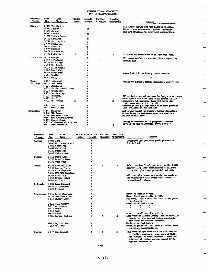
-
-TImmxsxmR~ PAfczII~ctS
wuder- uoluild- Fbmzhu ernFs8 P1anni.q Mzt ne88-
X X X X X X X X X X X
s X
X X
X X X X X X X
x x X
Natiaul Area Forest lb. - -
Khth w-69 m beth 5-070 Kelsey 5OG8 Johnson 5-r)G7 ceder S702 Idian c!re& 5-703 tL3mpmY i735 anrlrqr Mtn. 5-074 r+Jraqese 5-081 rTl.lSian E-077 sllaxer 5079 Orleans Mt. S-701 Siski)oJ
Six Rives 5-248 mnkq 5-707,N.Fk.Smith 5-252 Salt Creek 5309 Mt. Lassie S310 Pilot cre& 5308 Board b
-
-
S-250 North Et& 5-251 soldier 5-247 Kelly
shaste- 5-237 Urdemcd Trinity 5-222 am creek
S-221 CWrq~~pin 5-224 LlttLe FrenchCreek 5-230KettleMin. 5-219 ca!ale crags 5-233 Pata 5229 Mt. Ezdy 5231Mt. Shasta X
X X X X X X
X X
:: X X X X X
-
5-227 East Ginud 5-230 Waat Giran3 S-141 matchm 514fl Elk Qrak s-280 skelsbm Glade 5-145 Big ButtsShixknm 5-139 7tufes creak 5-137 WFlderneaS c0nt.l~ 5144 stud bbmblin x
- w398Iahi 5-093 wild cattle wbl. 5-096HeartMtn. 5094 c&J meek s-ml mtte Km. 5099o-Lpsapek
Plums E-168 m&zs IAka 5-170 Grb.zly peak 5-172 Mat Yhbe
Tske 5-261 CbuCte chief 5259 lxrcan CalpI 5262 NJ9c.Arnecitxn ~265NFKpETl~Fmzrican 5-264 EaaYlBa 5-260 Cbxuss Lakes 5901 Bald Mtn.
X X X X X
X X X
X X X X X X X
-
-
X X
El&r&~ 5-024 SaltS@nq8 5-982 -iea 5-023 Pyramid
Stanislaus 5-256 North?4xm~ S-258 nnlume River 5-810 axrry Lake
5-RllBEll~ s-a.2 waaterhouse 5-813 Eagle 5-814 Dam 5-815 Ni#t s-986 carmal-Iceberg
X X X X X
X X
5985 Rsynxl F%ak 5255 Mt. Peb
X X
Sierra 5-047 San Jmquin X
-?=2
v-174
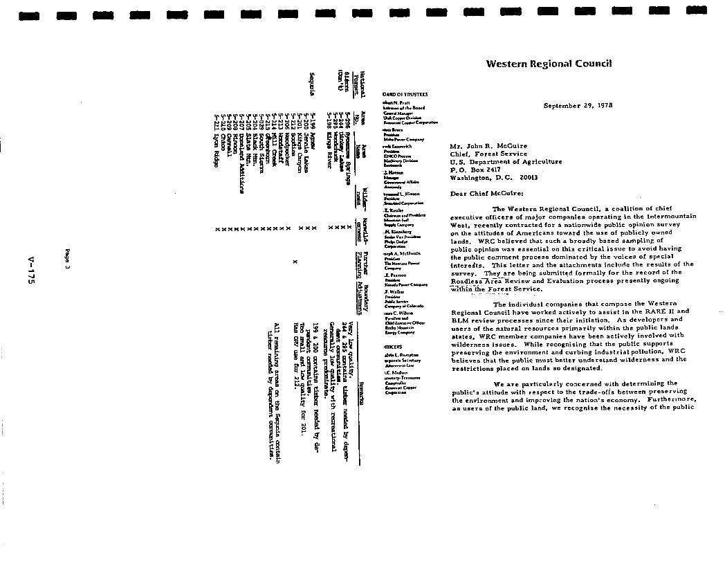
x
Western Regional Councii
September 29. 1978
Mr. John R. McCuire Chief, Foreat Service U.S. Department of Agriculture P. 0. Box 2417 Washington. D. C. 20013
Dear Chief McCuire:
The Western Regional Council, a coalition of chief executive officers of major companies operating in the Intermountain West, recently contracted ior a nationwide public opinion survey on the attitudes of Americans toward the use of publicly owned lands. WRC believed that such a broadly based sampling of public opinion was essential on this critical issue to avoid having the public comment process dominated by the voices of special intcredts. This letter and the attachments include the results of the *UTVcy. They are being submitted formally for the record of the RoadleesAr%-‘tieview and Evaluation procees presently ongoing
%?t%-&‘e Forest Service. . I. - _
The individual companies that compose the Western Regional Council have worked actively to assist in the RARE II and BLM review processes since their initiation. As developers and users of the natural resources primarily within the public lands etates. WRC member companies have been actively involved with wilderness Issues. While recognizing that the public supp-Jrt8 preserving the environment and curbing industrial pollution, WRC believes that the public must better understand wilderness and the restrictions placed on lands so deeignated.
We are particularly concerned with determining the public’s attitude with respect to the trade-&s between preserving the environment and improving the nation’s economy. Furtherlnore. as users of the public land, we recognize the necessity of the public
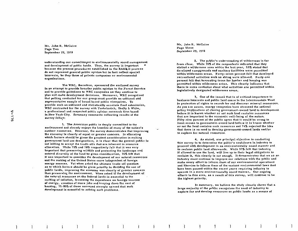
Mr. John R. McCuire Page Two September 29, 1970
Mr. John R. McCuire Page Three Sep:ember 29, 1978
I
understanding our committrn,ent to environmentally sound management and development of public lands. Thus. the survey ia important - because the present procedures established in the RAR&ll process do not represent general public opinion but in fact reflect special interests, be they those of private companies or environmental organizations.
The WRC, therefore, spoilsorcd the enclosed survey in an attempt to provide broader public opinion to the Forest Service and to provide guidelines to WRC companies ae they continue to plan and make development decisions. Moreo-ar, WRC recognized that polling conducted for our group must provide an unbiased aid representative aamp!e of broad based public viewpoints. To provide such an unbiased and ataiistically accurate final submission, WRC contracted for the survey with Yankelovich, Skelly & White, a professional and respected public opinion research firm based in New York City. Summary comments reflecting results of the survey follow: .
1. The American public is deeply committed to the environment and already enjoys the benefits of many of the natiorr’s outdoor resources. However, the survey demonstrates that improving the economy is clearly of equal or greater concern. In allocating which factors should be given the greatest consideration in making government land use designations, it is clear that the general public is not-tilling to accept the trade-offs that are inherent in resource allocation. While 79% and 76% respectively felt that it was very important that preserving wildlife and pro!ecting the landscape and natural diversity of the land be given consideration, 76% felt that it was important to consider the development of our natural resource8 and the making of the United States more independent of foreign energy *ollrces. Yet when asked the ultimate trade-off question as to which factors should be given priority in deciding the use of public lands, improving the economy was clearly of greater concern than preserving the environment. When asked if the development of the natural resource8 CI~ the federal lands is essential to the curbing of inflation, lessening the dependence on foreign sources of energy, creation of more jobs and keeping down the cost of houeing. 7580% of those surveyed strongly agreed that such development is essential to solving such problems.
I I I 1 I 1 1
2. The public’s understanding of wilderness is far from clear. While 35% of the respondents indicated that they visited a wilderness area within the last year, 53% stated that developed campgrounds and sanitary facilities were permitted within wilderness areas. Forty-seven percent felt that developed recreational acHvities such as skiing were allowed. Forty-one percent felt that harvesting trees for lumber and housing was permitted within wilderness areas. This clearly indicates that there IS some confusion abcut what activities are permitted within legislatively designated wilderness areas.
3. One of the issues that is of critical importance to business interests and public land UB~~EI in the Intermountain West is protection of rights to search for and discover mineral resources. As you are aware, energy companies have stressed the national policy implications o! closing government-owned land to development before it is known whether or not such land contains resources that are Important to the economic well-being o! the natiox Fifty-nine percent of the public agree that it would be wroo: to limit access to government-owned land beIo:e it is known whether or not the land contains such resources and 74% rejectdd the idea that there is no need to develop government-owned lands and/or to explore for natural resourcee.
4. As stated, ore principal objective in conducting this survey is to determine the public’s confidence in industry to proceed with development in an environmentally sound manner and to reclaim public land afterwards. While 57% felt that industry. if allowed to use the land, will live up to their legal obligations to reclaim it, this clearly is no: enough. It demonstrates that we aa an industry must continue to improve our relations with the public and make every effort to inform them of our environmental operations and likewise to inform them of the various environmental laws that have been passed within the recent years requiring industry to operate in a more cnvironnentally sound manner. our ongo!ng efforts in this area. as a result of this survey, will continue to be the highest priority.
In summary. we believe the study clearly shows that a large majority of the public recognizes the need of industry to explore for and develop resources on public lands 9s a means of
1 1 I I 1 I I
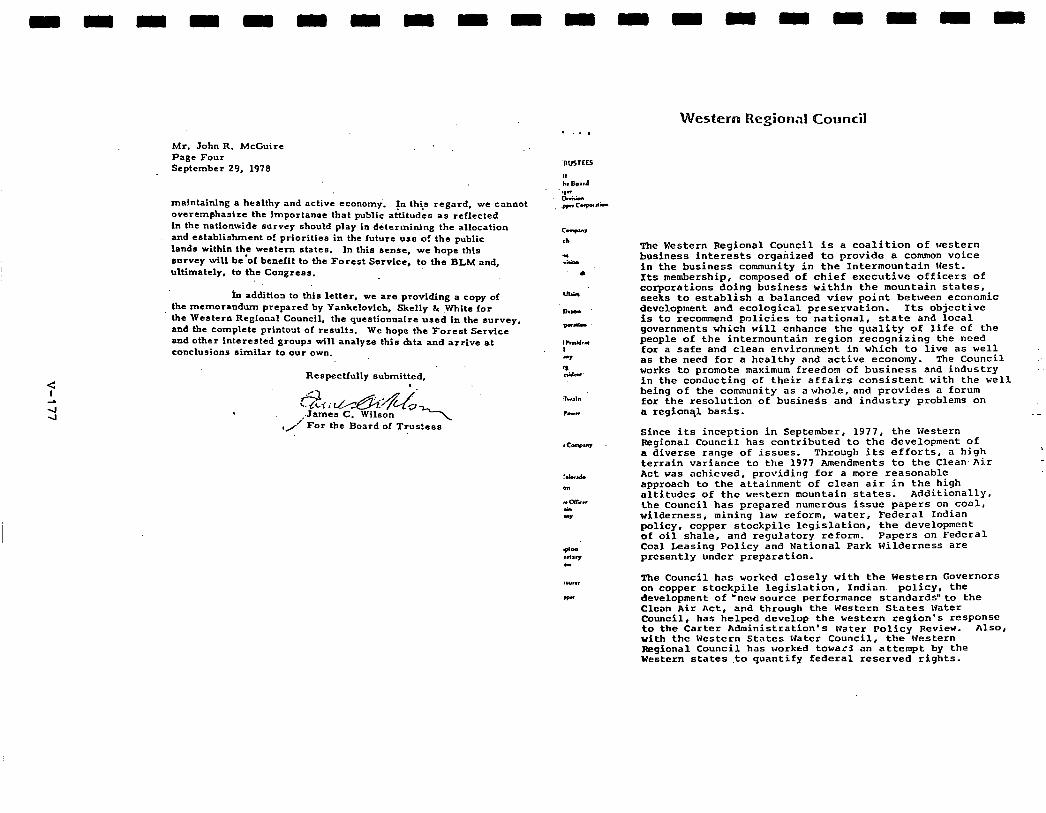
Mr. John R. McGuire Page Four September 29, 1978
maintaining a healthy and active economy. In this regard, we cannot overemphasize the importanoe that Public attitudes as reflected in the nationwide survey should play in determining the allocation and establishment ol priorities in the future use o! the public lands within the western states. In this sense, we hope this sorvey will be’of benefit to the Forest Service, to the BLM and, ultimately, to the Coagreas.
in addition to this letter, v~ve are providing a copy of the memorandum prepared by Yankelovich, Skelly & White for the Western Regional Council, the questionnaire used in the survey, and the complete printout of results. We hope the Forest Service and other interested groups will analyze this hta and arrive at conclusions similar to our own.
Respectfully submitted,
,/ For the Boatd of Trus?ees
Western Regional Council
The Western Regionol Council is a coalition of western business interests organized to provide a common voice in the business community in the Intermountain nest. Its membership, composed of chief executive officers of corporations doing business within the mountain states, seeks to establish a balanced view point between economic development and ecological preservation. Its objective is to recommend policies to national, state and local governments which will enhance the quality of life of the people of the intermountain region recognizing the need for a safe and clean environment in which to live as well as the need for a healthy and active economy. The Council works to promote maximum freedom of business and industry in the conducting of their affairs consistent with the well being of the comnunity as a whole, and provides a forum for the resolution of business and industry problems on a region31 basis.
Since its inception in September, 1977, the western Regional Council has contributed to the development of a diverse range of issues. Through its efforts, a high terrain variance to the 1977 Amendments to the Clean.Air Act was achieved, providing for a more reasonable approach to the attainment of clean air in the high altitudes of the western mountain states. Additionally, the Council has prepared numerous issue papers on coal, wilderness, mining law reform, water, Federal Indian policy # copper stockpile legislation, the development of oil shale, and regulatory reform. Papers on Federal Coal Leasing Policy and National Park Wilderness are presently under preparation.
The Council has worked closely with the Western Governors on copper stockpile legislation, Indian policy, the development of ‘newsource performance standards”to the Clean Air Act, and through the Western States Water Council, has helped develop the western region’s response to the Carter Administration’s Water Policy Review. AlSO, with the western States water Council, the western Regional Council has worked towa< an attempt by the Western states ,to quantify federal reserved rights.
I
Western Wood Products Association
Mr. John R. Uffiuire, chief Forest Service, U.S.D.A. P. 0. Box 2417 Washington, D. C. 20013
Subject: Ccdnent on the PARE II Draft Environmental Statement June 15, 1978
Dear iif&kLire:
Western Wc.ad Products Association is a regional organization of lumber producers in the Western United States. Our members and grading subscribers produce ap- proximately 45 percent of the softwood lumber production in this nation. The industry members that we represent are wholly or partially dependent upon the continued availability of national forest timber. Further, these member firms are made up of individual people who rely heavily upon the national forest system foe their personal and community economic well-being. their water supply and their outdoor recreation opportunities.
The general feeling of our membership regarding the total RARE II process and the Draft Environmental Statement CM best be sumned up this way: me IlAkE II process must be campleted equitably, decisively and expeditiously. Most of the areas involved in the subject inventory have been studled and kept in a state of suspension far too long. me Forest Service has the knwledge and professional expertise necessary to proceed with the management of these lands. We feel that strong direction is needed frm the leadership of the Forest Service to stop all this travail and start doing the job of providing the greatest benefits to the greatest number of people in the long run.
ti. Draft Environmental Statement has many weaknesses primarily in three genera1 ways: 1. Organization of format. 2. Lack of consistency. 3. Clarity of expression and omissions.
The net result Ia a progrunaatic statement and supplements that are not well understood by wst people rho are concerned enough to make the effort to reed them. However, In recognition of the fact that the task is monumental within the necessary time frame and that the documents are, after all just a draft statement, we believe that the Forest Service is complying with NEPA and other laws - at least up until this point in time.
I ,,.:cSl StRVlCE r!XEIVED
Wr. John R. UcGuire September 2e. 1978 page 2
If there is a present gap in this project between the law and Forest Service performance, it is in the compelling need to conduct PARE II more in confO?manCe with the Resources Planning Act. In this regard we are referring to the ac- countabillty and land use planning coordination aspects which need to be greatly strengthened. Please understand that our emphasis on FfJA does not imply any "whole cloth" endorsement of the 1975 Program Goals pursuant to the Act. Ue are firmly convinced that the present timber program is based upon an assessment that is unrealistically conservative and also that the wilderness goal of 25 to 30 million acres is higher than this country can afford in view of other certain demands that vi11 require rmxe intensive use of much of this land to benefit greater numJ~ers of people.
As the RARE II issue has been discussed there has been much unjustified criticism of the Forest Service because the DES Alternatives presented tend to reflect the obvious need to satisfy a significant share of strong and steadily increasing ccnmnodity needs of this nation. The Forest Service is not displaying any antiwilderness bias. Any rational analysis of future demands upon the remaining roadless national forest land base will reflect the ever strengthening need foe the optiminum outputs of goods and services that these lands can produce in perpetuity.
Last year you directed the Experiment Station to conduct a study testing the theory of Kurt Kutay. that reallocation of roadless area development funds to intensive management uould replace potential harvest losses from withdrawal of those areas. That study by Roger Fight et. al. (1978) clearly disproves Kutay’s contention andthesubsequent partial economic analysis of Randal O'Toole which "as based upon Kutay’s work. It is time to stop all this nonsensical academic exercise about having substantial limited use tradeoffs and still satisfying a fair measure of all other public demands simultaneously. It is not possible.
Quite obviously the trend of the future must be the reverse of special areas for limited use such as wilderness. Plainly, there is no great pool of land anywhere in this country that remains to be 'allocated.' The unpmfessianal and irresponsible release of erroneous RARE II update WA besellne data last week hit a new low In camnunicatlons that is making it very difficult, if not impossible for most publics to understand our national renewable I~SOUTCB situation in relation to the roedless areas. The timing of the release one week before the close of the PARE II -ent period makes it appear that the Forest Service is attempting to influence the outcome of its am public involvement exercise.
NOW that much debate on RARE II has taken place it is clear that a "preferred" alternative should have been presented in the Draft EnvIronmental Statement. The absence of a proposed action has made it difficult for many concerned citizens to focus on the issue end therefore provide the Forest Service with meaningful input. ?he net effect of this passive decision was to accelerate
*Kurt Kutay, “Oregon Economic Impact Assessment of Proposed Wilderness Legislation', April 1977.
I
Hr. John MCGuire September 28, 1978 Page 3
polarization toward herd bargaining positions and to erode public confidence in the Forest Service as a professional land managing agency. It is of the utmost importance that the final environmental statement make clearly under- standable and specific remrrrmendations as to which lands should be included in the National l4Ilderncss Preseflatlon system and which lands should be immediately available for nonwilderness uses. Recwmendations of specific areas to be studied further should be justified on an individual basis in the final statement and kept to en absolute minimum extant in numbers end lend =re=.
The DES has sane other shortcomings which should be corrected in the final environmental statement:
1. Econanic and social impacts in the DES should have been presented on en individual area and multi-county unit basis.
2. Ihe range of alternatives presented was inadequate as evidenced by emergirq wilderness lobby and cramnodity group alternatives. There most certainly should have been en alternative which would have clearly expressed potential end prograraned resource outputs with wilderness constrained at the minImum WA goal of 25 million acres.
3. The potential benefits of program emphasis on developed site recreation should have been thoroughly illustrated and described in the DES so that nonwilderness recreationists could distinguish their own best interests.
4. Commercial forest lend that was placed in -deferred’ category during RARE 1 should have been considered in the DES as a resource tradeoff on potentj.e.1 rildernrss classifiFations to truly reflect opportunity costs that MuId be experienced.
We ere mncernod with the manner in which the Fores‘ Service has approached P.ARE II. There is too nOwrow .s focus concentrating upon wilderness values at the expense of all other values. Wilderness is a multiple use * to the extent that it is the highest end best use for a specific area end-in balance and harmony vlth all other resource uses for which there is pobllc demand and sustainable supply. It is patently silly and dogmatic to insist that wilderness is a multiple use just because the Multiple Use-Sustained yield Act of 196rstates that wilderness is consistent with the purposes of that Act. If the Forest Service considers inputs that simply state a preference for %ultiple use” to be unresponsive. a considerable bias will be Imposed on the analysis of public comments. It should be obvious that many people are not aware of the legal distinction being drawn here and It should be equally obvious that when people write the Forest Service support- ing “multiple use,’ they don’t mean wilderness. The Forest Service needs
w (d W/P . . .’ Nr: John UcCuire September 28, 1978 Page 4
to do 8 bettor job of public education so that various publics will under- stand the legalities but midway through a public involvement program is not the time to start.
It has also become apparent during the course of RARE II that the Forest Service has changed emphasis in their approach to wilderness diversity. Early on there wee some token recognition of what other federal lends were likely to contribute toward “rounding out the System.” Now, efforts seem to be redirected tward a new goal of making the national forest contribution to the total System as diverse as possible regardless of the characteristics of other federal lands certain to be included. Forest Service vision should not stop at the forest boundary. Extensive areas of the federal lends are destined to be included end they should be considered part of the total picture. Also, inventoried RARE II roadless trees of types that are known to be overrepresented in the existing Wilderness System should be dropped frca further consideration for wilderness even though they may be otherwise suitable for inclusion.
Of all seven decision criteria presented the achievement of 1975 WA targets Is placed first end rightly so because this is of the utmost importance to the success of the entire Forest Service Program. As was indicated earlier in this letter, we do not necessarily agree with the goal Levels of the Pnggram - particularly the rilderness goal which is too high even though the Forest Service termed it ‘moderate” in the last assessment. Hhat con- cerns us most is the inappropriate emphasis on overachieving the wilderness targets when all other resource systems are barely approaching the lower levels indicated in the Program. The illogic of the situation is that inflation of the Wilderness goal will impede realization of all the other goals. It seems so incongruous for a public aqency with a multiple use charter and mandate to be so intent upon frustrating their own mission by this fixation on the dominant use of Wilderness.
The second criteria intended for use in makinq these crucial decisions involves the concept of “consensus.” Idealistic, but of very little real, practical value. It is axiomatic that any question raised for public dis- cussion will be debated. ‘l%he Forest Service is well aware that contro- versies concerning the limited use of public lends have been going on for generations - longer than the Service itself. We think that this “decision criteria” should not be used at all in RARE I1 because it will tend to post- pone decision making on controversial areas (most of them). Also, this criterion will lend nothing toward the disposition of those few rwncontro- versial areas which should be obvious where there is nothing vorth debating. The Forest Service has e difficult problem of proprieties in the solicitation and use of public corxnents since their responsibilities are oat political in nature but professional and properly so. The marchinq ardors of the Forest S~rvlr.*, come from laws passed by Congress end signed by the President rather than Iram straw polls.
Mr. John HcGuire September 28. 1978 Paqe 6
seems to us that WARS is far too arbitrary and undefinitive to be of much use with the bulk of the inventoried areas which have a multitude of complex values hanqing in the balance. WARS is particularly veak to the extent that the system incorporates the variety factors discussed in the preceeding paragraph of this letter.
The Forest Service riqhtfully relegates grasslands to a low priority as a decision criterion. Unless the w\RE II process c.an identify some truly unique area for consideration, the grasslands should be totally excluded from further consideration as wilderness. Probably whatever unique area may be found would be better set aside in a research natural area. The RU4 and Park Service wilderness review processes probably will consider deserts, prairie and other rangelands adequately.
There are many important decision criteria which should be employed in forming a proposed action in the final environmental statement that are not incorporated in the seven criteria that the Forest Service indicates in theDES that are to be used. No doubt the responses to the DES will suqgcst many good criteria that should be used so here are iust a few of our suggest ions : 1. The greatest goad for the greatest number in the long Cm paraphrases the essence of Forest Service policy since the in- ception of the organization. This concept is as valid as ever and goes to the heart of these roadless area questions. - Recotmnendations by the Forest Service for areas of limited use that preclude the realization of other valuable public benefits must be done with qreat care and sparinqly. 2. Only areas with unique features that are of National Significance should be recommended for Wilderness which is a National System. Areas that arc not unique or are types similar to existing Wilderness should not be recommended. 3. Highest and best use of the land. It is the duty of the Forest Service pursuant to the Multiple Use-Sustained Yield Act of 1960 to be stewards bf this land in public trust in a manner vhich will provide the optimum sustainable yield of public benefits.
I
Hr. John McGuire September 2R. 1978 Page 5
Cornnunlty stability and employment are obligations of the Forest Service to those citizens who live withln the sphere of influence of the national forest system - and this includes everyone in the Western United States. This means that these economic and social considerations are decision criteria of the utmost importance. We are very concerned that the significance of this criterion is being minimized by economic theorists in the Forest Service as I expressed Lo you in my letter of August 24, 1978 (copy attached hereto).
National issues involving high potential resources arc exceedingly valuable for use as decision criteria and should be fully utilized within the context of the RPA program and augmented by all of the latest available information on supply, demands and national policies.
While variety Is a valid consideration in adding land to the NWPS it ap- parently does not deserve the high priority of scune of the other criteria mentioned. The public response In Phase I of Rare II reflected general lack of interest in these land characteristic factors. No doubt there would have been less interest shown if mare publics were apprised of the extensive repre- sentation of ecosystems and landform already set aside in existing research natural areas, geologic and scenic areas, botanical areas. parks of all juris- dictions and wilderness areas. Generally. scientists shun wilderness areas for research purposes because of the lack of efficient access and constraints upon installation of man-made devices. I” fairness, It should be added that social scientists are an exception since wilderness makes opportunities to study human behavior in isolation from man’s ordinary environments. west of the 100th Meridian acceosibillty to existing wilderness is very good In most states and should not be a consideration. The most inappropriate element contained in this criterion is the approach to wildlife in wilderness. It is generally conceded among knowledgeable people that there are virtually no species oL wildlife truly dependent upon classified wilderness as managed by the Forest Service. Sane species of animals and plants are sensitive to certain kinds of human induced disturbance of their habitat but these situ- ations are manageable if recognized without wilderness classification of the subject area. Indeed, most wildlife habitat and populations can bc enhanced by positive management measures vhlch are InhIbited or prohibited by the im- position of formal Wildnrncss upon the land inquestion. The idea of giving serious consideration to recamnending areas for wilderness because of the presence of wildlife which the “public” perceives to be associated with sOme vague wilderness image is like stepping through the Looking Glass. This approach opens up vholo new worlds of Never Never Land where an entire system can be conjured up based upon a Forest Service dream of what your social sclcntists think that the illusory “public” thinks. Let us leave this mystical realm to the tarot card readers.
The Wlldcmcss Attributes Rating System is a secondary criterion which may be of scme assistance in confirming that a few very high or low quality areas should or should not bc remended for Wilderness designation. It
I I 1 I I I 1
The ten altcrnativcs presented in the DCS are of very limited utility in promoting public understanding of the issues involved in RARE II or in aiding reviewers to respond. As was mentioned before, there should have been a Forest Service preferred alternative in the DES as well as an alternative which held wilderness to the minimum 1975 WA Program target.
Alternative A is not a bad choice except that “NO Action” would have been better expressed as “No further RARE II” with the land management planning process to proceed on schedule to resolve these land use issues on a planning unit basis firmly tied to achievement of all the 1975 RPA Program goals. Perhaps in view of all the litigation, appeals and administrative vacillation Of today, this is no longer a viable alternative but that was the way the system was intended to wrk in the first place. It may well have succeeded with stronger direction and support from Forest Service leadership. RARE II has the potential for turning into a delaying rather than an expediting
I ) I 1 I 1 I
Wt. John Hd;uire September 2B. 1978 Page 7
approach and it will take all of the power that the Forest Service and the Secretary of Agriculture CM muster to prevent this from happening.
Alternative B sounds unreasonable because it states that all inventoried - roadless lands be barred fran further wilderness consideration. Actually this alternative Is not extreme when consideration is given to the fact that the low 1975 WA wilderness target would be satisfied if less then one million acres were added to the NYPS firma the RARE II inventOry. l-hat cones very close to being no withdrawals when l/62 of the total inventory is taken for Wilderness. Please recall that we dld not agree that 25-30 million acres was truly just a “moderate’ withdrawal in the first place.
Alternative C and Alternative D are both unacceptable because their wilderness recommendations exceed RPA goals when ccmblned with existing wilderness end Administration approved proposals. Also they both leave far toa much land in the category of “further planning.’ Essentially these two alternatives are merely meaningless canputer games vithout basis in facts.
BasicaIIy Alternative E has a Fairly good general conflguretion In that it seems possible to meet WA targets and strike a balance with a minimum of areas left in the ‘further planning” category. However, the tentative al- location of areas to be reccamended for wilderness is unacceptable under this Alternative. particularly in the State of Washington.
Alternative P is objectionable on the grounds that wilderness variety characteristics are grossly overweighted and the number and extent of areas relegated to ‘further planning” are cmpletely unacceptable.
Alternative G by comparison with C, D, F. H, and I is sanewhat of an improvement in its general configuration because of the relatively smaller “further planning” area. The level of wilderness reccnmendations exceeds even the highest 1975 RPA target for that resource and the allocation of vital timber and mlnerel lands render this alternative unacceptable In every state with major RARE II area inventories. This alternative also overemphasizes wilderness variety characteristics to a ridiculous extreme Ear exceeding the valuea of such considerations.
Alternative H overrates the least signiEicent and most artificial of all wilderness attributes devised In this largely conjectural analySiS - wildlife. It Is a small wonder how wildlife consid@ratIons have been twisted around in this process fran Phase I when opportunities for habitat management were considered to be a reason for not establishing wilderness. Alternative H has some elements of realism due% the accannodatlon of more exercise of judgment by the Forest ServiCe Regions which will be a necessary ingredient in the final proposed action but it Is not acceptable because vilderness is heavily overemphasized.
Hr. John Wcr.uirc September 28, 1978 Page 8
Alternative I has the distincition of embodying practically all of the faults of Alternatives C-H in one package. It exceeds the 1975 WA wilderness targets. It relegates an unjustifiable amount of land to the nondecision category of ‘further planning.’ It is without justification in the context of demand and supply of all nonwIlderness national forest resources and is just plain terrible.
Alternative .I is necessary to present some idea of the magnitude of public values that could be wasted by clessificatlon oE extensive areas of Wilderness from the ‘MRE II inventory. As a possible course of action, this alternative is absurd and the backlash from implementation of any alternative close to ‘J” could ultimately lead to atalishment of the existing Wilderness System.
John, in brief these are most of our basic camvents on the DES. Cmr members have responded with detalled site specific conrments on each of the roadless areas that concern us - and this includes practically every area. Now ve can only hope that your canputer doesn’t blow more than a couple of fuses in processing the responses to this most ambitious public involvement ex- ercise ever attempted by the Forest Service. We how that the oroiect generates mOre light then heat and comes forth with positive recuvnendations for all of the RARE II lands that will allow the management of the National Forest System to go forward in an orderly and efficient manner.
R. W. Fred-11 Director, Resources
cm
Enclosure
cc: t4emhers of Congress Assistant Secretary Agriculture Rupert Cutler Regional foresters Resources and Envirowent COmmittee
m Western Wood Products Assocralron
Conservs tion crmmittee National Speleologicel Society 1036 Ginchester Alhambra, CA 91803
Fir. John R. HcGuire u. P. Forlst service P.O. Box z&l7 ~*shi”gto”, D.C. 20013
Desr Kr. Haalire,
he N3tional speleologi~l Society would like to express its disa\>polntment irith the For%t bervics’s RAhE II process. Our de facto wilderness areas em too precious to o.r country and Its people to be considered and oralllated in haste. Ihe large amount of area proposed as norralldsmeos and the small smolnt of areas pmposed !‘or further planning in each of the altarmtivea is wccsptshle. M all need more time to properly evalu!ate those 8x18s.
cansequently, the tLS believes a wry stro”g shoving of public agreement should be required before any area is desimtsd non-vil~!emoss. lmce such n [email protected] Is made, ve nmy not be able to rsconsider. He must mke th? correct decision the first time.
We also believe no ax?8 should bo eliminatti frcm wilderness considera’.ion uless development of the arm is sham to be unquestionab’y “eccssary t0 meet existing mtjxml an” local W&e
The Flesourc~ Planning Act wildomesa Poe18 are
wilderness as it is the best means of protecting our karst Lands and the undergrowd resources whioh underlie them. We sek that tha Forest Service set tneir sites hifher. Arbitrary upper ceiling.3 on the amt of wilderness we need is l,appropriate aa well.
He also question the use of the Wildernese Attribute Rating Sy&m”. ‘Ihe sySLem presents too many Individual blasea. The members OF the NSS urge that the so-called “wildernxx ettributes” do not carry greater Might than the opinions ex- pressed by the American people concerning their wilderness a-8. Too often valuable wilderw%3s re-
I I I I
, Inc.
2. es
aourc9a, like those I’ound undergruund in cavea, are ignored with this system.
P’imlly, we would like to prote;t the exclusion of the N~tionsl Speleolo~url bociety from the list of mtiorvll organization8 involved In R’IRZ JI. We hope in the future to :x1 includnd on your nailing list, Wouph we are a mtloml organization uith members in every etat.3, YB received only ~olnt) of the regioM1 supplsments.
Because YB did not hvo all the nup?l!merlts end due to the short tine we had to m?iew the proposrls we did receive, our ruvisu 3f RaffE II is not complete. We hope in the future to receivu all tho msbzisl available with thn othrtr mtloml or@nizat:ons.
l1etional Speleological society Hember, Consem tio” rmitt,ec
1 I I I 1
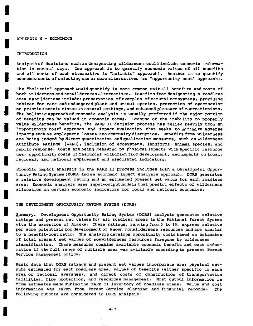
I
APPENDIX W - ECONOMICS
INTRODUCTION
Analysisof decisions suchasdesignating wilderness couldinclude economic informa- tion in several ways. Cne approach is to quantify economic values of all benefits and all costs of each alternative (a "holistic" approach). Another is to quantify economiccostsofselectingoneormorealternatives (an "opportunity cost" approach).
The "holistic" approachwouldquantify in some common unitall benefits andcosts of both wildernessandnonwildernessalternatives. Benefits fromdesignating a roadless area aswildernessinclude:preservation of examples ofnaturalecosystems, providing habitat for rare andendangeredplant and animal species, protection of spectacular or pristinescenicvistasinnaturalsettings,andenhancedpleasureofrecreationists. The holisticapproachofeconomic analysis is usually preferredif the major portion of benefits can be valued in economic terms. Because of the inability to properly value wilderness benefits, the RARE II decision process has relied heavily upon an "opportunity cost" approach and impact evaluation that seeks to minimize adverse impactssuchas employment losses andcommunitydisruption. Benefits from wilderness are being judged bydirectquantitative andqualitative measures, such aswilderness Attribute Ratings (WARS), inclusion of ecosystems, landforms, animal species, and publicresponse. Costs arebeing measured by physical impacts withspecific resource use, opportunitycosts ofresources withdrawn fromdeveloprnent, andimpacts onlocal, regional, and national employment and associated indicators.
Economic impact analysis in the RARE II process includes both a Development Oppor- tunity Rating System (DORS) andan economic impact analysis approach. DORS generates a relative develoment rating and an estimated present net value for each roadless area. Economic analysis uses input-outputmodelsthatpredict effects of wilderness allocation on certain economic indicators for local and national economies.
THE DEVELOPMENT OPPORTUNITY RATING SYSTEM (DORS)
Summary. Development Opportunity Rating System (DORS) analysis generates relative ratings and present net values for all roadless areas inthe National Forest System with the exception of Alaska. These ratings, ranging from0 to 15, express relative per acre potentials fordevelopmentof known nonwilderness resources andare similar to a benefit-costratio. The analysisdevelops opportunity costsbased on estimates of total present net values of nonwilderness resources foregone by wilderness classification. These measures combine available economic benefit and cost infor- mation if the full range of multiple uses was available accordingto present Fbrest Service management policy.
Basic data that DORS ratings and present net values incorporate are: physical out- puts estimated for each roadless area , values of benefits (either specific to each area or regional averages); and direct costs of construction of transportation facilities, fire protection, and resources management. Most output information is from estimates madeduringthe RARE II inventory of roadless areas. Value and cost information'was taken from Forest Service planning and financial records. The following outputs are considered in DORS analysis:
W-l
-
- softwood sawtimber - hardwood sawtimber - softmod other products - hardwood other products - cattle and sheep grazing - dispersed motorized and nonmotorized recreation - developed recreation - big game and small game hunting - nonhunting wildlife - fishing
Benefit and Cost Values. Regional values for benefits are those to be used in the draft 1980 Renewable ResourcesProgram required by the Renewable Resources Planning Act of 1974. They are based on a series of studies commissioned by the Forest Service. These reports attempt to place comparable values on major resource out- puts of National Forests by Region. The standards were estimates of willingness to pay for outputs at the point outputs leave the forest site.
Since a "holistic" approach is not used in the economic analysis, DORS present net value do not recognize noncommodity benefits of wilderness. While wilderness com- modity items such as grazing are considered in DORS, noncornmodity values, such as preservationofecosystems,havenot beenconsidered.
Costs of developnentare separated into coststhat could be identified with produc- ing a specific resource output and those that would be common to all resources. Costs of collector and arterial roads (whether built as specified in timber sale contracts or with appropriated funds) and costs of fire protection are joint or common costs. For each resource, costs are further separated into operational management costs and development costs, with each expressed per unit of output. Operational costs are assmed to be incurred proportional to level of output as long as output is produced. DORS assumes development costs are spread out over a time sequence depending on each resource, ceasing after development is complete. Development costs are only applied to additionaloutputin excess of present levels.
Costs used in DORS are derived from costs used in planning the RPA program for the National Forests System. Specifically, average estimated costs for 1981 to 1985 for Alternative V -- continuation of current program levels -- were tabulated for each of the 11 RPA analysis groups concerned with resource outputs considered by DORS. RPA costs, which represent full appropriation cost levels, are reduced to the proportion likely to be spent for on-the-ground projects or in direct manage- ment at ranger district level. Fixed administrative cost at ranger district, National Forests, Regional, and National levels , andprogram planning at all levels are not included. Thisdeduction of fixed costs assumesthat inclusion or exclusion of roadlessareaswouldnotseriously affectoverall Forest Service management costs.
DORS considers both present impacts of wilderness designation and potential long- term impacts. Essentially, immediate impacts are those that would occur even if no further investment were made. Potential impacts require capital investment in the roadless area. Distinctions between present and potential impacts depend to some extent on the resource. For both impacts for each resource, a combined scheduling and discount factor was computed. Schedules of development were
-
-
-
-
-
-
-
-
-
-
w-2
developed with Forest Service resource staff in terms of what proportion of each total impactwould beineffect by year , starting with the present. Discount factors for each year in the future were computed using the then current Water Resource Council discountrate of 6-5/8 percent. The combined factor was computed by smng the schedule proportions times the discount factor for the next 100 years. In the case of timber, three factors were multiplied. In addition to the schedule and discount factors, a price increase factor was the future price divided by the present price by year.
Under nonwilderness management, timber may be cut, sites for intensive recreation (campgrounds, boat ramps, ski runs, and others) developed, and minerals extracted. Developnent of each roadless area would be integrated intothedevelopment plan for the entire forest. For most RARE II areas,land management plans for roadless areas have not been developed. Thus, each roadless area's role in the National FOrest's development has usually not been determined and the level of outputs and roads needed could only be estimated. In particular, the time sequence of development of each area not designated as wilderness has not been determined. Some of these areas maybedeveloped immediately, others not for several decades. An appropriate discount factor was considered to account for the time stream of development; how- ever, the overstatement wasdetermined tobelessthan 10 percent and an arbitrarily chosen discount rate would not improve the accuracy of the data.
Present Net Values and Rating System. Following evaluation of each resource or resource component by roadless area (by ecosystem within roadless areas if thedata were available), benefit values and resource-related costs were totaled. If costs of some resource components exceeded the value of benefits, benefits and costs were set to zero assming that resource would not be developed. Thus the total of resource benefit values had to equal or exceed resource costs. The DORS rating was computed'directly from the ratio of total resource benefit values, to combined total costs of resource management and roads and protection. The following formula was used with an upper limit of 15:
DORS = 16.60964 log benefits + 1 10 total costs >
The logarithmic form of the DORS ratings was selected to give each division in the rating scale approximatelythe same significance. bre ratios of benefits andcosts fell closer to zero and one than to higher values. This required more distinction between low values (such as between 0 and 1) than between high values (such as between 5 and 6). Present net values were calculated by subtracting discounted costs from discounted benefits.
DORS ratings are essentially indexes of relative profitability of developent per unit of land. Areas, regardless of size, with highly valuable resources per acre' and with low per acre management and road costs have high DORS ratings. In par- ticular, roadless areas with relatively high per acre road requirements may have low DORS ratings. DORS ratings do not consider size of roadless areas.
DORS present net value information does consider size of roadless areas. Present net value isthedifferencesbetweentotal discounted resource benefits and combined discounted resource and common costs, all of which are influenced by size of area. A highpresentnetvalue could result from a very profitable development opportunity on a limitedarea, or a relativelylow per acre profitability on an extensive area.
W-3
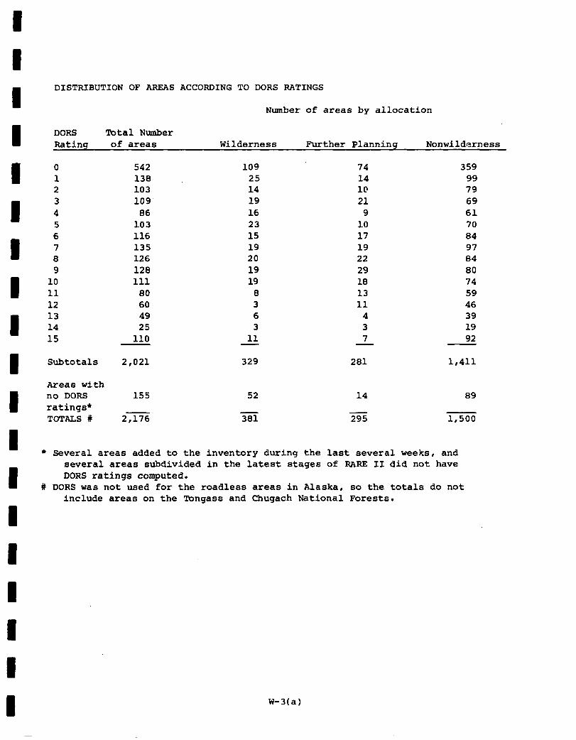
DISTRIBUTION OF AREAS ACCORDING TO DORS RATINGS
Number of areas by allocation
DORS Total Number Rating of areas Wilderness Further Planning Nonwilderness
0 542 109 74 359 1 138 25 14 99 2 103 14 I@ 79 3 109 19 21 69 4 86 16 9 61 5 103 23 10 70 6 116 15 17 84 7 135 19 19 97 8 126 20 22 84 9 128 19 29 80
10 111 19 18 74 11 80 8 13 59 12 60 3 11 46 13 49 6 4 39 14 25 3 3 19 15 110 11 7 92
Subtotals 2,021
155
329 281 1,411
Areas with no DORS ratings* TOTALS #
52 14 89
2,176 381 295 1,500
l Several areas added to the inventory during the last several weeks, and several areas subdivided in the latest stages of RARE II did not have DORS ratings computed.
# DORS was not used for the roadless areas in Alaska, so the totals do not include areas on the mnqass and Chuqach National Forests.
W-3(a)
Limitations of DORS. Except for the supplemental survey for roads to be built with appropriated funds, DORS uses only data collected or already in existence. For some resources,detail and coverage of information availableto National Forest personnel or which could be reasonably estimated is more complete than others. Since some information collected is based on subjective estimates and ratings, information from one forest or region may vary slightly from others despite pre- cautions taken in making instructions explicit.
For each roadless area, resource specialists estimated levels of output based on recent experience and judgements of likely trends in demand and cost. With inten- sive land management planning, initial output estimates are generally modified based on results of analyses. In the RARE II process there was little opportunity to make such "feedback" modifications.
Value and cost information used to value resources was primarily regional with the important exception of timber. Values and costs are not adjusted for differences between National Forests or between individual roadless areas. It is likely, for example,thataverage unitvalues of resources obtained from generallyhigh altitude and inaccessible roadless areas may be less valuable than average unit values for the region as a whole. In particular, loggingbytimber purchasers may be relative- ly costly, thereby.reducing prices bid for timber. Likewise, costs of management of roadless areas, even with roads constructed, maybe generallyhigher than Forest or Regional average costs. Thus DORS ratings and opportunity costs are relative and not absolute values.
Timber values foregone used in DORS may not fully reflect changes in allowable harvests. Harvest schedules depend on factors such as distribution of remaining old age and high productivity classes of timber, and must be computed by mathema- tical programming. Withdrawal of roadless areas may not be additive, and may be partially offset by increased investment in silvicultural treatments on remaining areas. Because most forest timber managementplans already assume rather intensive management, amount of intensification may be limited by extent of opportunites. Other constraints on the extent that accelerated harvesting on remaining lands may compensate for withdrawal of roadless areas are the requirement for nondeclining allowable harvest schedules and environmental impacts resulting from an increased proportion of remaining commercial forest being currently harvested and undergoing regeneration.
Roadless areas considered in RARE II vary from several thousand acres to hundreds of thousands of acres. Resource unit or per acre costs of road-building, resource utilization, and land management are affected by size of tract or project. DORS does not consider these economies of scale.
Withinthe areatributary to a National Forest the amount of resource output offer- ed for sale or use affects its value , particularly if final demands for resource outputs come primarily from the local community. This is often the case for many types of recreation. Increases in availability ofresources may also affect demands for resource outputs on near-by public or private forests. Even in the case of forest outputs with an essentially national demand for final outputs (lumber and plywood from timber, and meat from grazing), it may take a number of years before local utilization expands to absorb additional supplies from newly opened roadless areas.
-
-
-
-
-
-
-
-
-
-
w-4
DORS ratings andpresent net value reflect management of public lands, not develop- ment of private forest land. DORS uses net valuesto society in general ratherthan those whichcanbecaptured byprivate firms. Costs represent typical Forest Service operations constrained by sustained yield and various environmental factors.
IMPACT ANALYSIS
Overview. Input-output. models were used to determine economic impacts resulting from wilderness andnonwilderness allocations. These models were used to calculate impacts (changes) upon:
- total dollar value of output - total income - value added - employment - population (related to employment changes)
Impacts may be estimated for the economy in total and also for various segments of the economy which are most heavily influenced by Forest Service actions e.g., the wood products sector. Thus, both total effects and incidence of these effects are estimated.
The link between land allocations and economic effects is change in production of goods and services resulting from different kinds and levels of activity permitted ,under wilderness, further planning, and nonwilderness management. Production or use changes result in expenditure changes within the economy. The RARE II impact models translate resource output and use changes into expenditure changes. These expenditure changes are then used with input-output models to estimate changes in output, income, value added, employment, and population. All production and use changes are net changes from present management, outputs, and uselevels. Economic effects thatye estimated do not represent projections of the total economy, only changes from present situation7
Resource Changes. Changes in production or use levels on an annual basis for sixteen resource items were used for economic impact analysis. Resources and units of measurement are:
- hardwood sawtimber - hardwood products - softwood sawtimber - softwood products - picnicking (RVD) - camping (RVD) - skiing (RVD)
(M.W) (MCF)
(MBF) (MCF)
- water-based recreation (RVD) - motorized dispersed (RVD) - nonmotorized dispersed (RVD) - big game hunting (RVD) - small g&e hunting (RVD)
w-5

- nonhunting wildlife (RVD) - fishing (RVD) - sheep grazing (ADM) - cattle grazing (ADM)
-
-
These sixteen resource outputs were estimated for each roadless area forthree dif- ferent levels of management: 1) present management - goods, products, and services currently derived from an area, 2) potential management - goods, products, and services that could be provided if current land and resource management plans were fully implemented, and 3) wilderness management - goods, products, and services that could be provided if the area were designated as wilderness.
Opportunities Foregone. By using resource change information and input-output models, it is possible to estimate economic impacts associated with various land allocations. For example, if a particular roadless area isdesignatedas wilderness, the "immediate" effects of such a designation would be calculated as the difference between wilderness output levels and present output levels. This difference could conceivably be positive or negative; however, it is far more likely to be negative for most resources. Assuming a more "long-term" outlook, effects of wilderness designation muld be described as the difference between wilderness outputs and potential outputs. Thus, for each individual roadless area, it is possible to estimate a range of outputs or uses foregone as a result of wilderness allocation. This range of potential opportunities foregone could bedescribed as the difference between wilderness outputs and present outputs ("immediate") and the difference between wilderness outputs and potential outputs ("long-term"). It is important to note that, in all cases, it is assumed that resources are harvested, used, or marketed in exactly the same way as done presently.
Small Area Models. Input-output models were constructed to estimate effects of land allocations upon local communities most directly affected by the allocations. These small economies were broadly defined as the primary market area for products originating from roadless areas in combination with the supply area for employees who work in the primary market operations. These models largely conform to either a single county or a small collection of counties which reflect local economy. One hundred sixty-seven unique small area models were constructed. The primary analytical function of these small area models was to help identify local commu- nities which could be adversely impacted by wilderness area designations. Since resource changes are identified by individual roadless area, effects associated with wilderness designation of any of the 2,700 roadless areas could be examined using small area models. .Estimated impacts from small area models was used in conjunction with the "Community Stability" evaluation criteria.
Community Stability Analysis. Community stability is one decision criteria in the RARE II evaluation process. That is, if an adverse impact on community stability could be predicted as a result of allocation of roadless areas to wilderness, this was considered sufficient cause to reconsider such an allocation.
Community stability does not imply the Forest Service is committed to maintaining status quo. Community stability reguires an orderly process of change rather
-
-
-
-
-
-
-
-
-
-
-
W-6
than those processes that may cause large disruptions to the community. In order to evaluate concerns for community stability, it was necessary to have some indi- cators regarding how well communities can absorb change and make necessary socio-economic adjustments.
Three indicators were used to characterize communities with respect to absorbing potential changes stemming from RARE II. The first indicator was percent change in total person-years of employment projected for alternativeJ inthe DES. Multi- county areas were grouped into those with less than three percent change and all others. Three percent was judged to be a threshold above which disruption to community stability might occur. The second indicator was the percent of total employmentengagedin either timber or nontimber (range, recreation, etc.) resource- related industries (logging, primary wood processing, secondary wood-based manu- facturing, agricultural livestock, etc.). Ten percent was judged to be a threshold where a change in resource supply mayhave significanteffects. The third indicator was population growth rate of the slowest growing county in the multi-county area. Counties with growth rates less than the state average growth rate were judged to be lessabletoabsorbpotentialchangesandmakeadjustments.
The procedure employed to determine areas with a potential for exhibiting disrup- tions in community stability involved a screening process. Multi-county areas were evaluated according to the three indicators noted above. Those that exceeded the threshold foranyof theindicatorswere considered tohave significantpotential for adversecommunitystabilityimpacts. Multi-county areas notexceedingthresholds were not subjected to further analysis.
All roadless areas within multi-county areas exceeding indicator thresholds were then subjected to analysis using input-output models. Resource supply changes that would occur withwilderness allocation for each roadless area were used to estimate the contribution to community stability that each would make to the multi-county economy. The primary indicator for these impacts was change in employment.
Any other substantiated information concerning potential impacts upon individual communitiesorunique socialconditionswasalso used to identify either multi-county areas or individual roadless areas as having potential for community stability impacts. Results of this analysis were used as part of the RARE II allocation process, and are availableforthe interested reader of the Forest Service Regional offices.
National and State Impacts. Economic impact analysis was conducted at both the local and national level. Impacts which are estimated via the small area models cannot be aggregated to reflect total impact upon a larger area such as a state or the nation for three major reasons. First, there is incomplete coverage of entire states by local area models. Only those economies primarily affected by potential wilderness allocation were included. Second, multi-county impact area input-output models are mutually exclusive. That is, gains in employment and income in one multi-county area may or may not be offset by compensating losses in another area. The small area models do not take these linkages into account in any explicit manner. As a result, it is incorrect to assume that total change in employment in any state is the sm of the employment changes occuring in multi- county impact areas within the state. Third, small area models were designed to reflect local impacts only. Expenditure data used for gmall area models accounts
w-7
-
only for localized expenditures and margined wholesale and retail purchases. As a result, total expenditures, and consequently, total expenditures are not estimated by these models.
A national input-output model was employed to determine economic impacts at a higher level. This model was constructed using basically the same methodology as that used for wall area models. The primary difference between the national model and small area models is that the national model accounts for all sectors and all expenditures in the economy including the unmargined portions of wholesale and retail trade expenditures. The national model thus includes all interregional ties.
All output and use changes arising from land allocations throughout the nation were totaled and these figures used to determine economic effects upon the nation as a whole. Finally, the national total was partitioned to state subtotals to estimate total effects that might occur in individual states. Input-output models were not developed for individual states. Subtotals for output changes arising from land allocationswithin each state were calculatedand these subtotals were usedas input data for the national model. State impacts are simply the estimated effects upon the nationaleconomythatresult from land allocations occuring within an individual state or that state's contribution to the total national impact.
Three assumption sets are employed to illustrate economic effects. The first assumption, identified as "Potential Immediate Effects" represents the economic effects ofwilderness allocations. That is, roadless areas allocated to wilderness change from present to wilderness management strategy. All areas allocated to non- wilderness remain in presentmanagement. Production andutilization changes in this case are largely negative although some gains in certain recreation uses may be obtained. Also, deferred timber from areas allocated to nonwilderness may cause positive gains in production. It should be noted thatalthough the term "immediate" is used to describe this assmption set, it is not intended to convey the passage of time, but rather to describe wilderness allocation without compensating gains from production on nonwilderness areas.
The second assumption set, with two variations, is referred to as "Potential Long Term Effects." Under this assumption set, areas allocated to wilderness change from present management to wilderness management. Areas allocated to nonwilder- ness change from present to potential management , all with attendant changes in production and utilization. The two variations reflect the disposition of areas allocated to further planning. In the first case, these areas are treated as if they have been allocated to nonwilderness use and in the second case they are allocated to wilderness. Thesetwo variations show the range within which economic effects will lie dependent upon the eventual allocation of areas in the further planning category to either wilderness or nonwilderness use. For any impact area, the results under this assumption show the net economic effects that occur as a result of allocating all roadless areas withinthe impact areato either wilderness or nonwilderness use. Again, the term "long-term" does not refer specifically to the pasage of time but rather to the assumption underlying the analysis.
-
-
-
-
-
W-B
The first set of threetablesdisplay the detailed economic effects at the national level for each alternative. Changes in total income, output and value added plus total population affected is also displayed, along with disaggregated employment effects amongtwenty-one of the principal sectors. Thedisaggregation of employment effects is intended to display the incidence of effects as they differentially affect various segments of society. The totals which are presented in these tables are net effects for the national'economy. Individual multi-county areas or other geog=hic areas could incur greater gains or losses in any of the categories listed. For example, an individual state could incur an employment loss of several hundred mrkers in a particular industry, while another area might increase by a like ntuaber. The net national effect would be small or even zero; however, this would be an incomplete picture of potential impacts.
The first table, "Potential Immediate Effects," illustratestheeffects ofwilderness designation only. AlternativeJ (all roadless areas allocated to wilderness) shows the greatest impacts with about seventy-four thousand employment opportunities affected.Logging and sawmills sector showsthe greatest loss;however, every sector in the economy has some less. This is largely because of the inter-relationship between sectors in the economy.
The proposed action has insignificant potential immediate impacts. In fact the -283 job opportunities are not significantly different from zero from the national perspective. However, there is a significant increase in job opportunities in the potential long-term impacts. These opportunities aredue to development and use of appropriate nonwilderness resources in areas allocated to nonwilderness.
The long-term impacts from PA alternative are evenly spread between the several sectors affected by forest activity. Agriculture increases because of livestock grazing, wood products sectors increase because of timber and retail trade, trans- portation and service sectors increase because of recreation.
The second set of three tables illustrates disaggregated employment effects for each state. Since state level models were not constructed; these effects do not represent impacts which would necessarily occur in a particular state. These effects are based upon resource changes for each state and show that state's contri- butiontototal national impact. Allocated employment effects for all alternatives are displayed. A more detailed s\munary for the proposed action is shown in Appendices A-T.
Potential immediate effects exhibit a wide variation among areas and alternatives. This variation is of course, largely attributable to distribution of the roadless areas being considered. Alternative J shows the greatest negative impacts, a total of about seventy-four thousand affected opportunities. The proposed action shows significant impacts for only two areas - Colorado and Washington. The Colorado negative allocation is the result of rather large estimated losses in "wood prod- ucts other than sawtimber" and it is highly unlikely this impact would actually occur in Colorado. Rnployment opportunity gains for Washington are overstated perhaps;however, somerealgainsarelikely.
Iong-term increases for the proposed action are substantial and are most apparent for California, Colorado and Washington. These increased opportunities are the result of output and activity gains from multiple use management of some of the existing roadless areas.
w-9
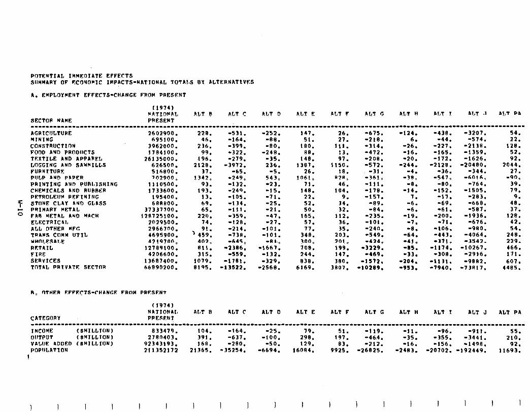
POTENTIAL IMMEDIATE EFFECTS SUMMARY OP t?COSOMIC IMPACTS-NATIONAL TOTAtS BY ALTERNATIVES
A. EMPLOYMENT EFFECTS-CHANGE FROM PRESENT
(1974) NATIONAL ALT e ALT C ALT Q ALT E ALT F ALT G ALT Ii AL? I ALT J ALT PA
SECTOR NAME PRESENT ---1----1----11-------------..---------------.--.-----------------------------------------------.--------------------------------- AGRtCULTURk 2602900. MINING 695100. CONSTRUCTION 3962000. FOOD AND PRODUCTS 1784100. TEXTILE AND APPAREL 26135000. LOGGIMC AND SAWMILLS 626500. FURNITURE 516800. PULP AND PAPER 702900. PRINTING AND PURLISHING 1110500. CHEMICALS AND RUBRER 1733600. PETROLEUM REF IN I NG 195400.
7 STflNE CLAY AND GLASS 688800.
;; PRIMARY METAL 37337700. FAR METAL AND MACH 321725100. ELECTRIC4L 2029500. ALL OTHER MPG 2966700. TR4NS COMW UTIL 4695900. WHOLESALE 4219700. RETAIL 12709100. FIRE 4206600. SERVICES 13607400. TOTAL PRIVATE SECTOR 66896200.
8. OTHER EPPECTS-CHANCE FROM PRfSENT
CATEGORY
(1974) NRTIONAL PPESENT
ALT I3 ALT C ALT D ALT E ALT F ALT G AL7 H ALT I ALT J ALT PA
----11-----------11---.-----------------------------------------------------------------------------------------------------------
I NCOYE ( SHILLfllN 1 833479. 104. -164. -25. 79. 51. -119. -11. -96. -911. 55. OUTPUT (SMILLTON) 2780403. 391. -637. -100. 298. 197. -46.4. *35. -355. -3441. 210. VALUE 4DDED (S~ILLION) 92343193. 168. -290. -50. 129. 83. -212. -16. -156. -1498. 92. POPULATION 211352172 21365. -35254. -6694. 160R4. 9925. -26825. -2403. -20702. -192449. 11693.
1
228. -531. 46. -164.
236. -399. 99. -322.
196. -279. 2128. -3972.
37. -65. 1342. -249.
93. -132. 193. -240.
13. -105. 69. -134. 65. -111.
220. -359. 74. -128. 91.
) 459. -214. -73A.
402. -645. 811. -2 386. 315. -559.
1079. -1781. 6195. -13522.
-252. 147. -ea. 51. -80. 100.
-248. BB. -35. 148. 236. 1397.
-5. 26. 543. 1061. -23. 71. -15. 140. -71. 22. -25. 52. -21. 50. -47. 165. -27. 57.
-101. 77. -101. 340.
-II 1.. 300. -1667. 708.
-132. 244. -329. 838.
-2568. 6169.
111. 13. 97.
1150. 18.
82A. 46.
104. 9.
34. 32.
112. 36. 35.
203. 201. 199. 147. 380.
3807.
-675. -124. -438. -3207. 54. -210. 6. -44. -574. 22. -314. -26. -227. -2138. 128. -472. -16. -165. -1359. 52. -208. -20. -172. -1626. 92. -572. -244. -2128. -20480. 2044.
-31. -4. -36. -344. 27. -361. -30. -547. -6016. -90, -111. -8. -80. -764. 39. -178. -14. -152. -1505. 79. -157. 7. -17. -283. 9.
-89. -6. -69. -668. 48. -04. -6. -61. -597. 37..
-235. -19. -200. -1936. 120. -101. -7. -71. -676. 42. -240. -8. -106. -900, 54. -549. -64. -443. -4064. 240. -424. -41. -371. -3542. 229.
-3229. -85. -1174. -10267. 466. -469. -33. -300. -29t6. 171.
-1572. -204. -1131. -9882. 607. -10209. -953. -7940. -73817. 4405.
1 I I 1 I I
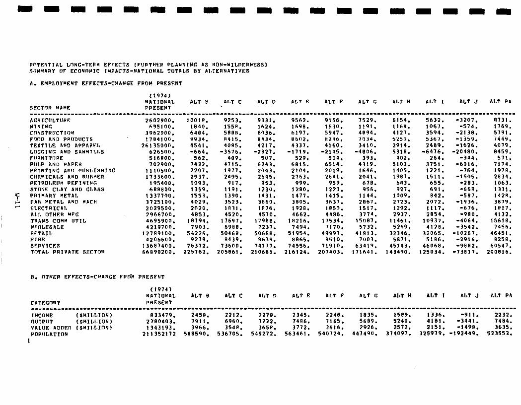
PUTENTJAL LUNG-TERM EFFECTS (FURTHER PLANNING AS NON-WILDERNESS) SllMHARY DF ECONDMIC JMPACTS-NATIONAL TOTALS BY ALTERNATIVES
A. EMPt,DY%NT EFFECTS-CHANGE FROM PRESENT
(1974) NATIONAL ALT R ALT C ALT 0 ALT E ALT F ALT G ALT H ALT I ALT J AL? PA
SECTOR NAME PRESENT --------------------------------------------------------------------------------------------------.------------------------------- AGRICULTURE 2602900. 1001R. 9253. 9331. 9562. 9156. 7529. 6154. 5632. -3207. 0731. MTNING 695100. 1840. 155R. 1624. 1698. 1630. 1191. 1168. 1067. -574. 1769. CflNSTRUCTION 3962000. 6484. 5888. 6036. 6197. 5947. 41194. 4127. 3594. -2138. 5791. FODD AND PRODUCTS 1784100. R934. R415. 8434. 8602. RZR6. 7D34. 5250. 5367. -1359. 7449. TEXTTLE AND APPAPRL 26135OOD. 4541. 40R5. 4217. 4337. 4160. 3419. 2914. 2489. -1626. 4079. LQGCING AND SAWHlI,I,S 626500. -664. -3576. -2827. -1719. -2145. -4806. 5318. -6476. -20400. 8459. FURNTTURE 516AOO. 562. 409. 507. 529. 504. 393. 402. 264. -344. 571. PULP AND RAPER 702900. 7422. 4115. 6243. 6815. 6514. 4319. 5103. 3751. -6016. 7174. PRTNTING AND PURLISHING 1110500. 2207. 1917. 2043. 2104. 2019. 1646. 1405. 1221. -764. 1979. CHERXCALS ARD RURHER 1133600. 2937. 2495. 2645. 2763. 2641. 2041. 1987. 1511. -1505. 2034. PETROLEUM REFINING 19s400. 1093. 917. 953. 999. 959. 670. 693. 655. -283. 1063. STIltJL? CLAY AND ClnASS hBRBO0. 1359. 1191. 1230. 1280. 1223. 956. 927. 691. -668. 1331.
7 PRIMARY METAL 1337700. 1553. 1390. 1431. 1477. 1415. 1144. 1009. 842. -587. 1424. p FAR METAL AND MACH 3725100. 4029. 3523. 3660. 3805. 3637. 2967. 2723. 2072. -1936. 3879. - ELECTRICAL 2029500. 2020. lR31. lR76. 1928. 185D. 1517. 1292. 1117. -676. 1817.
ALI, OTHER MFG 3966700. 4853. 4520. 4570. 4662. 4486. 3774. 2937. 2854. -980. 4132. TRANS COMH UTIL 8695900. 18794. 11697. 17980. lR216. 11534. 15007. 11461. 10937. -4064. 15618. IJHnLESALE 4219700. 7903. 6988. 7237. 7494. 7170. 5732. 5269. 4178. -3542. 7456. RETAIL 12789lOD. 5422fi. 50468. 50660. 51954. 49997. 41813. 32346. 32065. -10267. 46451. FIRE 4206600. 9279. 8439. 8639. RB65. 8510. 7003. 5R71. 5186. -2916. 8258. SERVICES 13687400. 76372. 73600. 74117. 74556. 71910. 63419. 45143. 46068. -9882. 60547. TnTAL PRIVATE SECTfIR 66890200. 225762. 205861. 210681. 216124. 207403. 171641. 143490. 125034. -73017. 200016.
P. DTHER EFFECTS-CHANGE FRO> PRESPNT
(1974) NATIONAL ALT B ALT C 4LT D ALT E ALT F ALT C ALT H ALT I ALT J ALT PA
CATFEGI1RY PRESENf ----1--11-----1---11--------------.------------.---------------.---------------.-------------------------------------------------- I WOW (SHILI~IO~I 833479. 2458. 2212. 2270. 2345. 2240. 1835. 1589. 1336. -911. 2232. OUTPUT (SMILLIONI 2780403. 7911. 6960. 7222. 7486. 1165. 5699. 5240. 4181. -3441. 1484. VALUE ADDED (SMII,L.ION) 1343193. 3966. 354u. 3658. 3772. 3616. 2.926. 2572. 2151. -1498. 3635. POPULATION 211352112 588590. 536705. 549212. 563461. 540124. 447490. 374097. 325919. -192449. 523552.
1
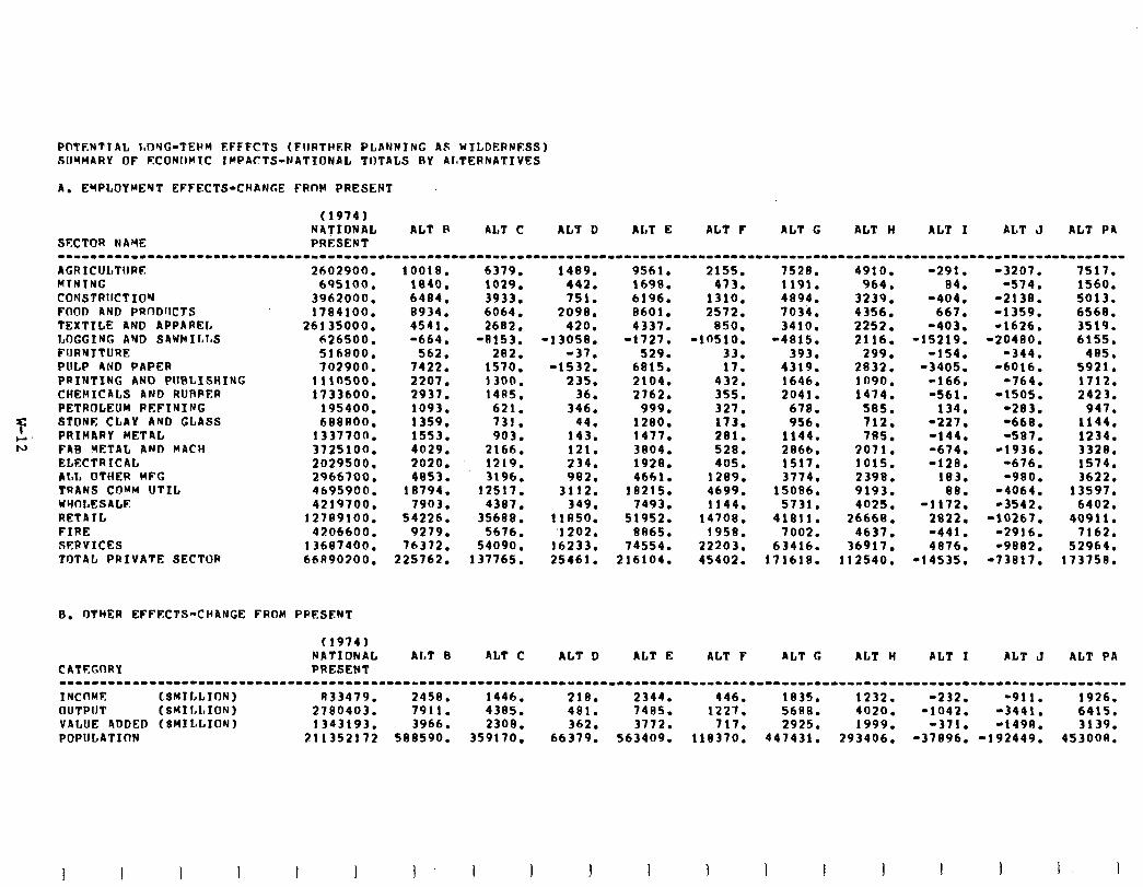
POTENTTAL l,DYC-TERM EFFFCTS (FllRTHRR PLANNING AS WILDERNESS) SUMMARY OF ECONUCIJC IMPACTS-NATIONAL TOTALS RY AIaTERNATIVES
A. ErPLOYMElrT EFFECTS-CHANGE FRnR PRESENT
(1974) NATIONAL ALT R ALT C ALT D ALP E AL7 F AL7 G ALT H ALT I ALT J ALT PA
SFCTOR NAYE PRESEN? 1--111-1-------------------------------------------------------------------------------------------------------------------------- AGRICULTURF 2602900. MTNING 695100. CONSTRllCTfOY FOOD AND PRf3DUCTS
3962000. 1784100.
TEXTILE AND APPAREL 26135000. LOGGING AYD S4WtdItl~S 626500. FIJRN JTURE 516800. PULP AND PAPER 702900. PRINTING AND PUBLISHING 1110500. CHEMICALS AND RURPER 1733600. PETRJJLEUH REFINING 195400.
7 STONE CLAY AND GLASS 688800.
F. PRIMARY METAL 1337700. N FIB METAL AND MACH 3725100.
ELECTRICAL 2029500. ALL OTHER MFG 2966700. PRANS COMM UTIL 4695900. WYOLESALF 4219700. RETA JL 127R9100. FIRE 4206600. SERVICES 13687400. TOTAL PRIVATE SECTOR 66R90300.
0. OTHER EFFECTS-CHANCE FROM PRESENT
CATEGORY
(1974) NATIONAL PRESENT
Al,t 0 ALT C ALT D ALT E ALT F ALT G AL? H AL? I ALT J ALT PA
---11----11------1----------------------------------------------------------------------------------------------------------------
INCmlE LSMILLION) R33479. 2458. 1446. 218. 2344. 446. 1835. 1232. -232. -911. 1926. OUTPIJT (SMIl~l~IONJ 2780403. 7911. 4385. 481. 7485. 1227. 5688. 4020. -1042. -3441. 6415. VALUE ADDED (SHI LLION J 1343193. 3966. 2308. 362. 3772. 717. 2925. 1999. -371. -1498. 3139. POPULATInN 211352172 588590. 359170. 66379. 563409. 118370. 447431. 293406. -37896. -192449. 453008.
10018. 6379. 1489. 9561. 2155. 7528. 4910. -291. -3207. 7517. 1840. 1029. 442. 1698. 473. 1191. 964. 04. -574. 1560. 6484. 3933. 751. 6196. 1310. 4894. 3239. -404. -2138. 5013. 8934. 6064. 2098. 8601. 2572. 7034. 4356. 667. -1359. 6568. 4541. 2682. 420. 4337. 850. 3410. 2252. -403. -1626. 3519. -664. -8153. -13058. -1727. -10510. -4815. 2116. -15219. -20480. 6155.
562. 282. -37. 529. 33. 393. 299. -154. -344. 40s. 7422. 1510. -1532. 6815. 17. 4319. 2832. -3405. -6016. 5921. 2207. 1300. 235. 2104. 432. 1646. 1090. -166. -764. 1712. 2937. 14R5. 36. 2762. 355. 2041. 1474. -561. -1505. 2423. 1093. 621. 346. 999. 327. 670. 585. 134. -283. 947. 1359. 731. 44. 1280. 173. 956. 712; -227. -669. 1144. 1553. 903. 143. 1477. 281. 1144. 785. -144. -507. 1234. 4029. 2166. 121. 3804. 528. 2866. 2071. -674. -1936. 3328. 2020. 1219. 234. 1920. 405. 1517. 1015. -128. -676. 1514. 4853. 3196. 982. 4661. 1209. 3774. 2398. 183. -900. 3622.
18794. 12517. 3112. 18215. 4699. 15086. 9193. ea. -4064. 13597. 7903. 4387. 349. 1493. 1144. 5131. 4025. -1172. -3542. 6402.
54226. 35688. 11850. 51952. 14708. 41811. 26668. 2822, -10261. 40911. 9279. 5676. ‘1202. 8R65. 1958. 7002. 4637. -441. -2916. 7162.
76372. 54090. 16233. 74554. 22203. 63416. 36917. 4876. -9082. 52964. 225762. 137765. 25461. 216104. 45402. 171610. 112540. -14535. -73817. 173750.
I I I I
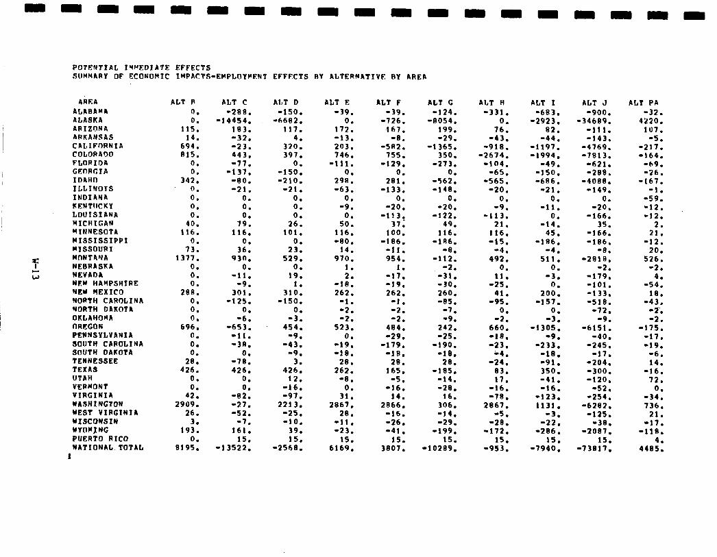
POTENTIAL IWEDIATE EFFECTS SUMMARY OF ECONOMIC IMPACTS-EMPLOYCEN’I
4REA ALABAM4 ALASKA ARIZONA ARKANSAS CALIFORNIA COLORADO FLORIDA GKDRCIA IDAHO ILLINOIS INDIANA KENTUCKY LOUISIANA MICHIGAN RTNNESOTA WISSISSIPPI RISSOURI
7 MnNTAYA NEBRASKA
t; NEVADA NW HAMPSHIRE NEW UEXICO NORTH CAROLINA NORTH DAKOTA OKLAHOMA I-JRCGON PENNSYLVANIA SOUTH CAROLINA SOUTH DAKOTA TENNESSEE TEXAS UTAH VERMONT VIRGINIA WASHINGTON WEST VIRGINTA WXSCONSIN WYOMJ NG PUERTO RICO NATIONAL TOTAL
1
ALT P
0. 0.
115. 14.
694. 815.
0.
3420: 0. 0. 0. 0.
40. 116.
0. 73.
1377. 0. 0. 0.
288. 0. 0. 0.
696. 0. 0. 0.
28. 426.
0. 0.
42. 2909.
26. 3.
193. 0.
8195.
ALT C -288.
-14454. 183. -32. -23. 443, -77.
-137. -80. -21.
0. 0. 0.
79. 116.
0. 36.
930. 0.
-11. -9.
301. -125.
0. -6.
-653. -11. -3R.
0. -78. 426.
0. 0.
-92. -27. -52.
-7. 161.
15. -13522.
EFFECTS BY ALTERNATIVE BY AREA
ALT D -150.
-6682. 117.
4. 320. 397.
0. -150. -210.
-21. 0. 0. 0.
26. 101.
2:: 529.
0. 19.
1. 310.
-150. 0.
-3. 454.
-9. -43.
-9. 3.
426. 12.
-16. -97.
2213. -25. -10.
39. 15.
-2568.
ALT E -39.
0. 172. -13. 203. 746.
-111. 0.
298. -63.
0. -9.
0. so.
116. -80.
14. 970.
1. 2.
-18. 262.
-1. -2. -2.
523. 0.
-19. -10.
28. 262.
-8.
3:: 2867,
28. -11. -23.
15. 6169.
ALT F AL? G AtT H ALT I ALT J ALT PA -39. -124. -331. -683. -900. -32.
-726. -8054. 0. -2923. -34689. 4220. 167. 199. 76. 82. -111. 107.
-8. -29. -43. -44. -143. -5. -5R2. -1365. -910. -1197. -4769. -217.
755. 350. -2674. -1994. -7813. -164. -129. -273. -104. -49. -621. -69.
0. 0. -65. -150. -288. -26. 201. -562. -565. -6R6. -4080. -167.
-133. -148. -20. -21. -149. -1. 0. 0. 0. 0. 0. -59.
-20. -20. -9. -11. -20. -12. -113, -122. -113. 0. -166. -12.
37. 49. 21. -14. 35. 2. 100. 116. 116. 45. -166. 21.
-186. -1Rb. -15. -186. -186, -12. -11. -8. -4. ‘4. -8. 20. 954. -112. 492. 511. -2818, 526.
1. -2. 0. 0. -2. -2. -17. -31. 11. -3. -179. 4. -19. -30. -25. 0. -101. -54. 262. 260. 41. 200. -133. 18.
-1. -85. -95. -157. -518. -43, -2. ‘7. 0. 0. -72. -2‘. -2. -9. -2. -3. -9. -2.
484. 242. 660. -1305. -6151. -175. -29. -25. -18. -9. -40, -17.
-179. -190. -23. -233. -245. -19. -18. -18. ‘4. -18. -17. -6.
26. 20. -24. -91. -204. 14. 165. -105. 83. 350. -300. -16.
-5. -14. 17. -41. -120. 72. -16. -28. -16. -16. -52. 0.
14. 16. -78. -123. -254. -34. 2866. 306. 2867. 1131, -6282. 736.
-16. -14. -5. -3. -125. 21. -26. -29. -20. -22. -38. -17. -41. -199. -172. -286. -2007. -118.
15. IS. 15. 15. 15. 4. 3807. -10289. -953. -7940. -73817, 4485.
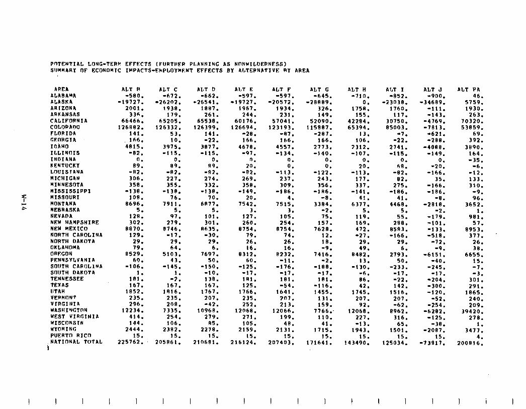
POTENTIAL LONG-TERM EFFFCTS (FURTHFR PIBANNING AS NflNUILDERNFSSl SJJMMARY OF ECONOMIC IMPACTS-EMPLOYMENT EFFECTS BY ALTEPNPTIVE RY AREA
AREA ALABAMA ALASKA AR1 ZONA ARKANSAS CALIFORNIA COLORADO FLORIDA MORGIA IDAHO ILLINOIS INDIANA KENTUCKY LOUISlANA MICHIGDN YINNESOTA MIssIssIPPI
7 NISSOURI
E MONTANA NEBRASKA NEVADA NEW HAMPSHIRE NEW MEXICO NORTH CAROLINA NORTH DAKOTA OKLAHOMA ORFGON PENNSYLVANIA SOUTH CAROLINA SOIJTH DAKOTA TENNESSEE TEXAS UTAH VERMONT VIRGINIA WASHINGTDN WEST VIRGINIA WISCONSIN WYOMING PUERTO RICD
,NATIONAL TOTAL ‘1
ALT R -580.
-19127. 2001.
336. 66466.
126982. 141. 166.
4915. -02.
0. 89.
-R2. 306; 358.
-138. 108.
8696. 5.
128. 302.
8870. 129.
29. 79.
0529. 60.
-106.
18:: 167.
1852. 235. 296.
12234. 414. 144.
2444. 15.
225762.
ALT C AL7 D ALT E ALT F ALT G ALT H ALT I ALT J -672. -662. -597. -597. -645. -710. -052. -900.
-26202. -26541. -19727. -20572. -28889. 0. -23038. -34689. 1938. 1887. 1967. 1934. 326. 1758. 1760. -111.
179. 261. 244. 231. 149. 155. 117. -143. 65205. 65538. 60176. 51041. 52090. 42204. 30750. -4769.
126332. 126399. 126694. 123193. 115887. 65394. 85003. -7e13. 53. 141. -28. -87. -287. 13. -7. -621. 10. -22. 166. 166. 166. 106. -22. -288.
3975. 3877. 4678. 4557. 2713. 3312. 2741. -4080. -115. -115. -97. -134. -140. -107. -115. -149.
0. 0. 0. 0. 0. 0. 0. 0. 89. 89. 20. 0. 0. 20. hfJ. -20.
-82. -82. -82. -113. -122. -113. -02. -166. 227. 274. 269. 231. 243. 177. 02. 35. 355. 332. 358. 309. 356. 337. 275. -166.
-138. -139. -149. -186. -1A6. -141. -186. -186. 76. 70. 20. 4. -a. 41. 41. -8.
7911. 6177. 7542. 7515. 3384. 6377. 4469. -2818. 5. 5. 3. 3. -2. 5. 5. -2.
97. 101. 121. 105. 75. 119. 55. -179. 279. 301. 260. 254. 157. 169. 289. -101.
8746. N635. 0754. 8754. 7628. 472. 8583. -133. -17. -30. 79. 74. 12. -27. -166. -518.
29. 29. 26. 26. 18. 29. 29. -72. 64. 6. 16. 16. -9. 49. 6. -9.
5103. 7697. 8312. 8232. 7416. 8482. 2793. -6151. 43. 50. 60. -11. -2. 13. 56. -40.
-145. -150. -125. -176. -188. -130. -233. -245. 1. -10. -17. -17. -17. -6. -17. -17.
-2. 138. 181. 181. 181. 86. -22. -204. 167. 167. 125. -54. -116. 42. 142. -300.
1916. 1767. 1766. 1641. 1455. 1745. 1516. -120. 235. 207. 235. 207. 131. 207. 207. -52. 200. -42. 252. 213. 159. 92. -62. -254.
7335. 10968. 12068. 12066. 7766: 12068. 8962. -6282. 254. 279. 271. 199. 110. 227. 316. -125. 106. R5. 105. 48. 41. -13. 65. -38.
2382. 2270. 2159. 2131. 1715. 1943. 1501. -2087. 15. 15. 15. 15. 15. 15. 15. 15.
205R61. 210681. 216124. 207403. 171641. 143490. 125034. -73817.
ALT PA 46.
5759. 1930.
263. 70320. 53859.
69. 392.
3890. 164. -35.
-6. -12. 133. 310.
-9. 96.
3652. 1.
901. 57.
8953. 377. -
26. 38.
6655. 15. -7. -3.
301. 291.
1965. 240. 209.
39420. 278.
347:: 4.
200816.
1 I I I i I
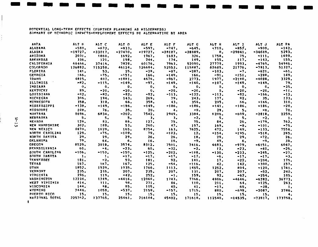
PDTENTIAL L9NG-TERM EFFFCTS CFUPTHEP PLANNING AS WILDERNFSS) SUMMARY OF ECDNOMIC IMPACTS-EMPLOYMFNT EFFECTS BY ALTERNATIVE BY AREA
ARkA ALABAMA ALASKA ARIZONA ARK4NSAS CALIFORNIA cnLnR4on FLORIDA GERRGIA TDAHO ILLINOIS INDIANA KENTUCKY LOUISIANA MICHIGAN MINNESOTA wIsslssIPPI MYSSOIIRI MONTANA
7 NEBRASKA
G NEVADA NEW HAHPSHYRri: NEW MEXIUJ NnRTH CAROLINA NORTH 0AK0TA OKLAHOMA OREGON PFNNSYLVANIA SOUTH CARDLINA SDUTH DAKOTA TENYF1SSEFt TEXAS UTAH VERMONT VTRCINIR WASHINGTON WEST VIRGINIA YISCONSIN WYOMING PlIERTO RICD NATYnN4L TOTAL
I
ALT R ALT C -580. -672.
-19727. -33017. 2001. 1860.
336. 121. 66466. 37416.
126882. 115258. 141. 53. 166. -75.
4R15. 401. -R2. -115.
0. 0. 89. -20.
-AZ. -82. 306. 194. 358. 318.
-138. -149. 108. 76.
8696. 6434. 5. 5.
128. 83. 307. 189.
R870. 1629. 129. -75.
29. 29. 79. 64.
8529. 3018. 60. -4.
-106. -150. 1. 1.
1a1. -2. 167. lh7.
lA57. 1529. 235. 235. 296. 119.
12234. lP49. 414. 111. 144. 98.
3444. 1058. 15. 15.
225762. 137765.
ALT D -833.
-27470. 1692.
198. 7628.
46124. 25.
-151. -1ARl.
-149.
-2x: -82. 143.
66. -106.
35. -202.
5. 86. 53.
165. -109.
29. 6.
3574. -23.
-150. -17.
93. 167.
1035. 207. -42.
-4416. 9R. R5.
-537. 15.
25461.
ALT E -597.
-19127. 1967.
244. 60176.
126694. -2R. 166.
467R. -97.
0. 0.
-82. 269. 35A.
-149. 20.
1542. 3.
121. 260.
8754. 79. 26. 16.
0312. 60.
-125. -17. 181. 125.
1766. 235. 252.
1206R. 271. 105.
2159. 15.
‘216104.
ALT F -747.
-2RlRl. 1603.
174. 7963.
52553. -87.
-149. -967. -149.
0. -20.
-113. 79. 43.
-186.
294:: 3.
75. 47.
163. -103.
26. 16.
7501. -32.
-202. -17.
92. -54.
1113. 207.
-1. 1743.
86. 40.
-157. 15.
45402.
ALT G -645.
-20889. 326. 149.
52090. 115R87.
-281. 166.
2773. -140.
0. -20.
-122. 243. 356.
-186. -8.
3384. -2. 75.
157. 7625.
12. 18. -9.
7416. -2.
-lRR. -17. 181.
-116. 1455.
131. 159.
7766. 110.
41. 1715.
1716:::
ALT H ALT I ACT J y710. -05cl. -900.
0. -29041. -34689. 1758. 75. -111.
155. 117. -143. 27779. 1993. -4769. 62685. 21776. -7813.
-103. -7. -621. -91. -151. -28R.
1977. -2100. -4088. -107. -149. -149.
0. 0. 0. 0. -20. -20.
-113. -82. -166. 117. f32. 35. 205. 66. -166.
-141. -186. -186. 29. 5. -8.
6206. -609. -2818. 5. 5. -2.
84. 26. -179. 169. -8. -101. 472. 149. -133.
-154. -195. -518. 29. 29. -12. 49. 6. -9.
4693. -979. -6151. 13. -23. -40.
-130. -233. -245. -6. -17. -17. 17. -22. -204. 42. 142. -300.
1252. 804. -120. 207. 207. -52.
92. -62, -254. 4906. -4646. -6202.
211. 64. -125. -13. 65. -38. 680. -698. -2007.
15. 15. 15. 112540. -14535. -73817.
ALT PA -142. 5293. 1699.
155. 54946. 51327.
-61. 149.
3329. 79.
-35. -11. -12. 133. 310. -20.
70. 2259.
1. 762. -75.
7558. 285.
26. 38.
6047. -25. -27.
-3. 175. 157.
1761. 240. 105.
36773. 263.
278:: 4.
173758.
- Methodology. Impact analysis for RARE II was accomplished using economic input- output (I-O) models for multi-county impact areas. The models were designed specifically for each area , modeling the 1974 economy and showing the area's pro- duction and employment by sector and national average technology. Prices were inflated to1976 with the consumer price index. These models were used to estimate impacts on employment, income, gross regional product, and population resulting from alternative management strategies on each roadless area within impact areas.
When itwasdetermined that an alternative management strategy would change resource availability from the present situation, change in employment and population that could be supported and income generated were estimated assuming that all change in resources was harvested and marketed in the local economy in exactly the same manner as is done in the present economy.
The resource outputs were estimated for three levels of management - 1) present management strategy,defined as goods, products or services currentlybeing derived from the area; 2) potential management strategy, defined as goods, products or services which could be provided if current multiple use management plans were fully implemented; and 3) wilderness management strategy, defined as the goods, products or services whichcould be provided if the area weredesignated as wilder- ness. I-O analysis is designed to make consistent estimates of resource impacts, and allow comparison between alternatives. The I-O models used in the RARE II analysis were built using secondary data sources. The required data andprocedures include:
- An existing I-O model of a larger area, of which the area being modeled is a part. The 484 sector national I-O model for 1967 was used for the RARE II models. The 484 sector or disaggregated model is preferred to a more aggregated model. The aggregation process combines similar sectors to reduce the model from 484 sectors to some smaller size. However, sectors are combined on a weighted national average, or some sectors not existing in a region are combined with sectors that do exist inthe region. The resulting coefficient is a source of substantial error. By using a very disaggregated model, a weighted regional average can be calculated which makes the model specific to the region.
- The second group of data needed was a set of regional total gross outputs (TGO), l.e., total sales of each industry within the region. TGO includes sales from one industry to another within region, sales to consumers within region, and sales to industries or consumers outside the region (exports). For most industries TGO is not published. It was calculated from employment data, which is available by sector from the U.S. census or state employment departments, and an estimated output per employee. The total gross output data was available for many sectors such as agriculture or sawmills. It is simply the physical quantity produced times the prices.
-
-
-
-
-
-
- The third set of data required to build the multi-county models from secondary data was an estimate of domestic final demand. Domestic final demand includes personal consmption, gross private capital formation (purchases by industry for capital equipment), state, local and,federal government purchases, and in some cases, inventory additions or depletions. Estimates were based on the national model, and then regionalized by the region's population, income, and government spending data.
W-16
1 I 1 I I I I I I I I I I I I I I D I
Assumptions and Qualifications. Several specific assumptions relating to economic analysis were made when building the I-O models from secondary data. First, one must assume that the production function (input-output relationship) is the same in the smaller area from which the model is being developed as it is in the large area from which the model is being reduced. In other words, technology is the the same in both regions.. The second assumption necessary to developing an I-O model from secondary data is that a sector, including final demand sectors, will import a production input from outside the region if industries within the region cannot supply sufficient quantities. Direct coefficients will be reduced by the amount of the necessary import. A third assumption in this procedure is that a sector in the region cannot produce products which are imported by the national economy in any larger proportion than is exhibited in the national model. With this assumption, the regional direct coefficients can only be equal to or less than the national coefficients. A fourth assumption relates to instances where more than one sector and/or final demand is buying from another sector in the region, and that sector is not large enough to meet all demands for its product. All purchasing sectors, including final demand, import equal to the proportion of product they are buying from the deficient sector. The fifth assumption requires that in the event that regional sectors and domestic final demand do not purchase the entire TGO of a sector, the residual production of that sector is assrnned exported.
It should be noted that impact on the national economy is not the same as impact on a local or multi-county area. In the national economy, there will be no change in population, and likely no change in national income, gross national product, or employment. These variables on the national basis are controlled by fertility rate, the state of the economy andmacro-economy policy, and are largely unaffected by wilderness resource availability. There could be shifts in employment between sectors of the economy or among regions in the country. These changes can be estimated using the same assumptions as used in the local area analysis. That is, if the resources nationwide were harvested and marketed in the same manner as similar resources are being harvested and marketed today, they would support a specified number of jobs, provide a specified amount of income, and support a specified number of people. These impacts have been presented; however, it should be remembered that these impacts are predicated upon the assumptions noted above.
The impacts from the multi-county models cannot be summed to obtain state or national impact. There are several reasons why results from local area models cannot be added to a larger area impact. First, expenditures consumers pay for goods or services are different in the larger area. For example, a New Yorker who skis in Colorado pays for meals, lodging, ski lift tickets, etc. locally. In the national economy, he buys airplane tickets, renta-car, buys skis, clothes, etc., in addition to local area expenditures. Only the local expenditures have a major impact inthe county or community; however, to show impacts for the nation, all expenditures should be included in the model.
'Ihe second difference is that indirect effect or economic multipliers are larger, l-e., the economic activity ripples through more sectors in the state or national economythanlocal area. There are more sectors endogenous inthe state or national economy than in a local area. A sector providing a production input to a local economy is an import when not present in the local economy, but if present in the state, it is added into the multiplier effect in the state or national economy.
w-17
A third difference is the induced effect. Induced effect is generated when owners and employees of industries spend their incomes. This generates more jobs and income for owners and employees of the industries providing goods and services purchased. People in a small local area will often go to other areas to spend part of their income. However, fewer go outside the state or nation to spend, so the induced effect is sometimes much smaller in local areas than in larger areas.
Changes in final demand by sector were determined by combining regional consmer expenditure data for Forest Service outputs with the industry making the sale to obtain the change in final demand by sector associated with the outputs or activi- ties. Expenditure data must be independently estimated and must be consistent with the impact area being modeled. When the actual product is sold, expenditure is the sale price when the product is sold to the final consumer or exported out of the area. For those activities where a product is not actually sold, one must account for expenditures the user incurs to participate in the activity. Camping, for example,requires expenditures for gas, food, sleeping equipment, etc. However, only those purchases that happen in the region should be included. Any food, gas, or sleeping bag purchased outside the area would not be included for the local area analysis. The RARE II regional and national expenditure estimates appear to be reasonable; however, they are based upon relatively small samples and limited studies.
An important point to make when accounting for expenditure data is to count only the margin above the purchase price for all retail and wholesale products. Actual product purchased in the area was most likely produced in some other region and the only product sold by the regional industry was the margin or amount of markup they applied to the product to provide for the service of selling the product. Therefore, if gas is purchased from a service station, only the 28 percent margin is added to the retail sector, not the 100 percent of the gas price. If gas is produced in the area, the remaining 72 percent is shown as a purchase from the gas refinery sector or the sector that produces the product.
The required calculations for final demand changes include simply multiplying number of units produced under an alternative management strategy by sales by industry to the final consumers. Dbviously, size of the area makes considerable difference as to expenditure associated with a product. Timber could be exported as logs in a very small region. It could be sold as rough lranber if a sawmill were in the impact area. It may go through a dry kiln, planes, or prefabrication plant if these are located in the area. The price used in the expenditure data should be the industry that sells it to final consmer or exports it out of the region. The I-O model accounts for an input sales if the product goes through many refining industries before it is exported or sold to final consumers.
Many books have been written on the actual workings of the input-output model. Only the unique procedures of how the models were used in the RARE II process are explained here. The interested reader will want to consult one of the books on input-output analysis for further details of the model.
-
-
-
-
-
-
Definitions. -
- Direct effect: Change in economic indicators (employment, income, value added, etc.) because of industries that use the forest resource as input to production
W-18
or have sales to consmers when they participate in forest related activities. Direct employment, income, or value added coefficients times change in sales to final demand, i.e., output sold to final consmers.
- Indirect effect: Change in economic indicators because of industries that have a change in sales initiated by industries directly effected. These industries have sales because of second and succeeding rounds of purchases among the endogenous (producing) industries.
- Induced effect: Changes in economic indicators because of change in households (employees of direct and indirect effected industries) spending. A change in - household spending is a change in producing industries sales.
- Economic indicators: Economic variables which measure size, stability, and condition of an economy. In input-output economics, employment, income, and value added (gross regional product) are the main variables measured.
- Employment: measured in person-years for approximately 2000 hours of one person working for a specified industry in producing a saleable product.
- Income: Compensationtothehousehold sector for inputs provided tothe purchasing industry. Includes wages, salaries, profit, rents, royalties, etc.
- Value added (gross regional product): The value of resources from the region used in production of products sold within and from the region. Total sales to final consumers minus imports. The value added method of estimating GRP is the summation of payments to government (taxes), household (income), and to industry investments (depreciation) resulting from each sale of an industry in the region.
- Gross national product (GNP): Same as GRP but on the national level.
References:
USDA Economics, Statistics and Cooperatives Service, "Regional Development and Plan Evaluation: The Use of Input-Output Analysis," Agriculture Handbook No. 530, May 1978.
Clark Row, Paul Teese, Terry Colbert, "Development Opportunity Rating System (DORS): project description and methods." USDA Forest Service, Washington, D.C. - Unpublished report. Draft Oct. 6, 1978.
w-19

-
-
-
-
-
-
-
-
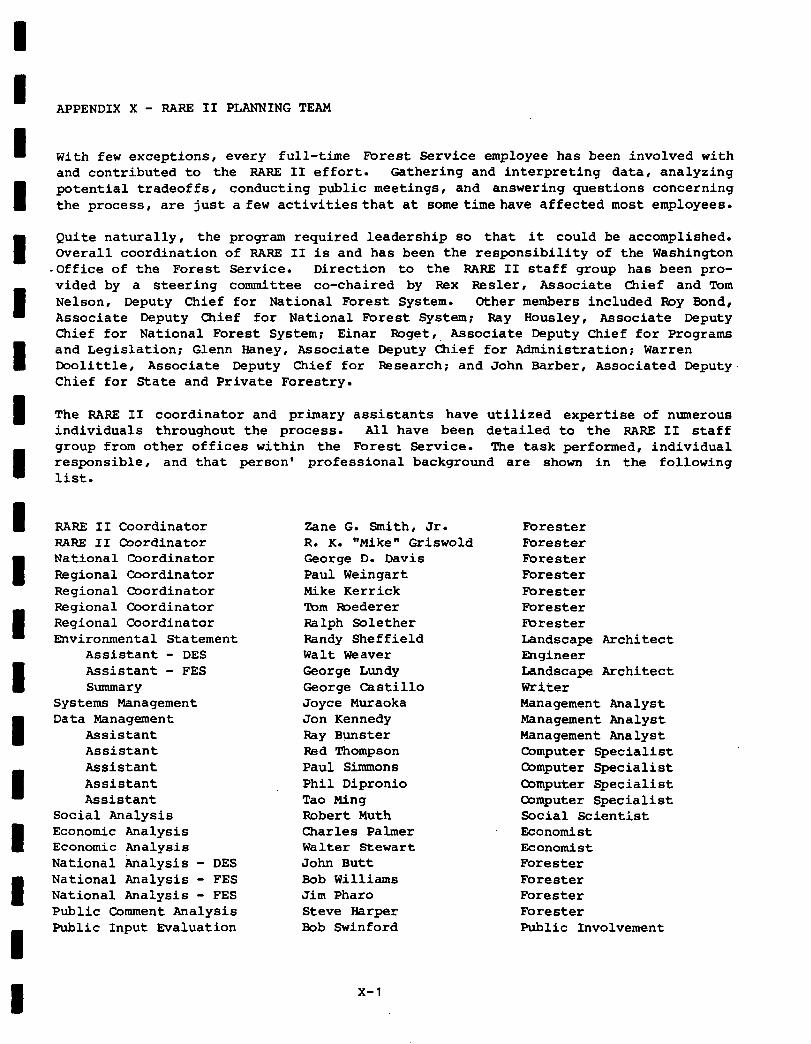
APPENDIX X - RARE II PLANNING TEAM
With few exceptions, every full-time Forest Service employee has been involved with and contributed to the RARE II effort. Gathering and interpreting data, analyzing potential tradeoffs, conducting public meetings, and answering questions concerning the process, are just a few activitiesthat at sometimehave affected most employees.
Quite naturally, the program required leadership so that it could be accomplished. Overall coordination of RARE II is and has been the responsibility of the Washington
-Office of the Forest Service. Direction to the RARE II staff group has been pro- vided by a steering committee co-chaired by Rex Resler, Associate Chief and Tom Nelson, Deputy Chief for National Forest System. Other members included Roy Bond, Associate Deputy Chief for National Forest System; Ray Housley, Associate Deputy Chief for National Forest System; Einar Roget, Associate Deputy Chief for Programs and Legislation; Glenn Haney, Associate Deputy Chief for Administration; Warren Doolittle, Associate Deputy Chief for F&search; and John Barber, Associated Deputy Chief for State and Private Forestry.
The RARE II coordinator and primary assistants have utilized expertise of numerous individuals throughout the process. All have been detailed to the RARE II staff group from other offices within the Forest Service. The task performed, individual responsible, and that person' professional background list.
RARE II Coordinator RARE II Coordinator National Coordinator Regional Coordinator Regional Coordinator Regional Coordinator Regional Coordinator Environmental Statement
Assistant - DES Assistant - FES Summary
Systems Management Data Management
Assistant Assistant Assistant Assistant Assistant
Social Analysis Economic Analysis Economic Analysis National Analysis - DES National Analysis - FES National Analysis - FES Public Comment Analysis Public Input Evaluation
Eane G. Smith, Jr. R. K. "Mike" Griswold George D. Davis Paul Weingart Mike Kerrick 'Porn mederer Ralph Solether Randy Sheffield Walt Weaver George Lundy George Castillo Joyce Muraoka Jon Kennedy Ray Bunster Red Thompson Paul Simmons Phil Dipronio Tao Ming Robert Muth Charles Palmer Walter Stewart John Butt Bob Williams Jim Pharo Steve Harper Bob Swinford
X-l
are shown in the following
Forester Forester Forester Forester Forester Forester Forester Landscape Architect mgineer Landscape Architect Writer Management Analyst Management Analyst Management Analyst Computer Specialist Computer Specialist Computer Specialist Computer Specialist Social Scientist Economist Economist Forester Forester Forester Forester Public Involvement
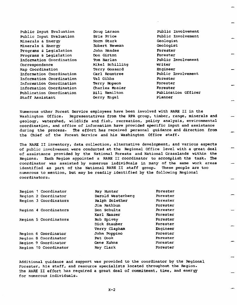
Public Input Evaluation Public Input Evaluation Minerals & Energy Minerals & mergy programs & Legislation Programs C Legislation Information Coordination Correspondence Map Coordination Information Coordination Information Coordination Information Coordination Information Coordination Publication Coordination Staff Assistant
Doug Larson Bris Price Norm Stark Robert Newman John Bendee Don Girton Tom Harlan Mike1 Schilling Terry Gossard Carl Rountree Val Gibbs Terry Iiopson Charles bsier Bill Hamilton Gerry Engel
Public Involvement Public Involvement Geologist Geologist Forester Forester Public Involvement Writer mgineer Public Involvement Forester Forester Forester Publication Officer Planner
-
Numerous other Forest Service employees have been involved with RARE II in the Washington Office. Representatives from the RPA group, timber, range, minerals and geology, watershed, wildlife and fish, recreation, policy analysis, environmental coordination, and office of information have provided specific input and assistance during the process. The effort has received personal guidance and direction from the Chief of the Forest Service and his Washington Office staff.
-
_
The RARE II inventory, data collection , alternative development, and various aspects of public involvement were conducted at the Regional Office level with a great deal of assistance provided by the National Forests and National Grasslands within the Regions. Each Region appointed a RARE II coordinator to accomplish the task. The coordinator was assisted by numerous individuals in many of the same work areas identified as part of the National RARE II staff group. These people are too numerous to mention, but may be readily identified by the following Regional coordinators.
-
-
Region 1 Coordinator Region 2 Coordinator Region 3 Coordinators
Region 4 Coordinators
Region 5 Coordinators
Region 6 Coordinator Region 8 Coordinator Region 9 Coordinator Region 10 Coordinator
Pay Hunter Forester Darold Westerberg Forester Ralph Solether Forester Jim Pathbun Forester Don Schultz Forester Karl Baaser Forester Bob Spivey Forester Dick Stauber Forester Terry Clapham Engineer John Poppino Forester Pat Cook Forester Gene Kuhn6 Forester Ray Clark Forester
Additional guidance and support was provided to the coordinator by the Regional Forester, his staff, and resource specialists located throughout the Region. The RARE II effort has required a great deal of commitment, time, and energy for numerous individuals.
x-2
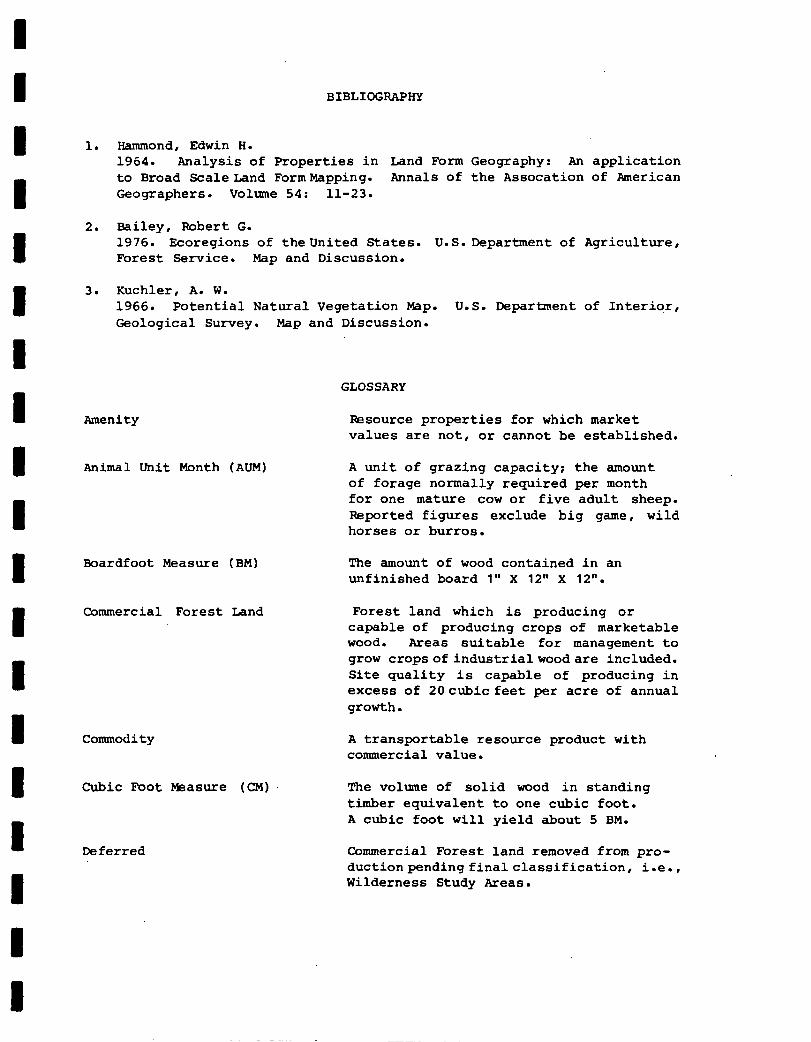
BIBLIOGRAPHY
1. Hammond, Edwin H. 1964. Analysis of Properties in Land Form Geography: An application to Broad ScaleLand FormMapping. Annals of the Assocation of American Geographers. Volume 54: 11-23.
2. Bailey, Robert G. 1976. Ecoregions of theUnited States. U.S.Department of Agriculture, Forest Service. Map and Discussion.
3. Kuchler, A. W. 1966. Potential Natural Vegetation Map. U.S. Department of Interior, Geological Survey. Map and Discussion.
GLOSSARY
Amenity
Animal Unit Month (AUM)
Boardfoot Measure (BM)
Commercial Forest Land
Commodity
Cubic Foot Measure (CM)
Deferred
Resource properties for which market values are not, or cannot be established.
A unit of grazing capacity; the amount of forage normally required per month for one mature cow or five adult sheep. Reported figures exclude big game, wild horses or burros.
The amount of wood contained in an unfinished board 1" X 12" X 12".
Forest land which is producing or capable of producing crops of marketable wood. Areas suitable for management to grow cropsofindustrialwoodare included. Site quality is capable of producing in excess of 2Ocubic feet per acre of annual growth.
A transportable resource product with commercial value.
The volume of solid wood in standing timber equivalent to one cubic foot. A cubic foot will yield about 5 BM.
Commercial Forest land removed from pro- ductionpendingfinalclassification, i.e., Wilderness Study Areas.
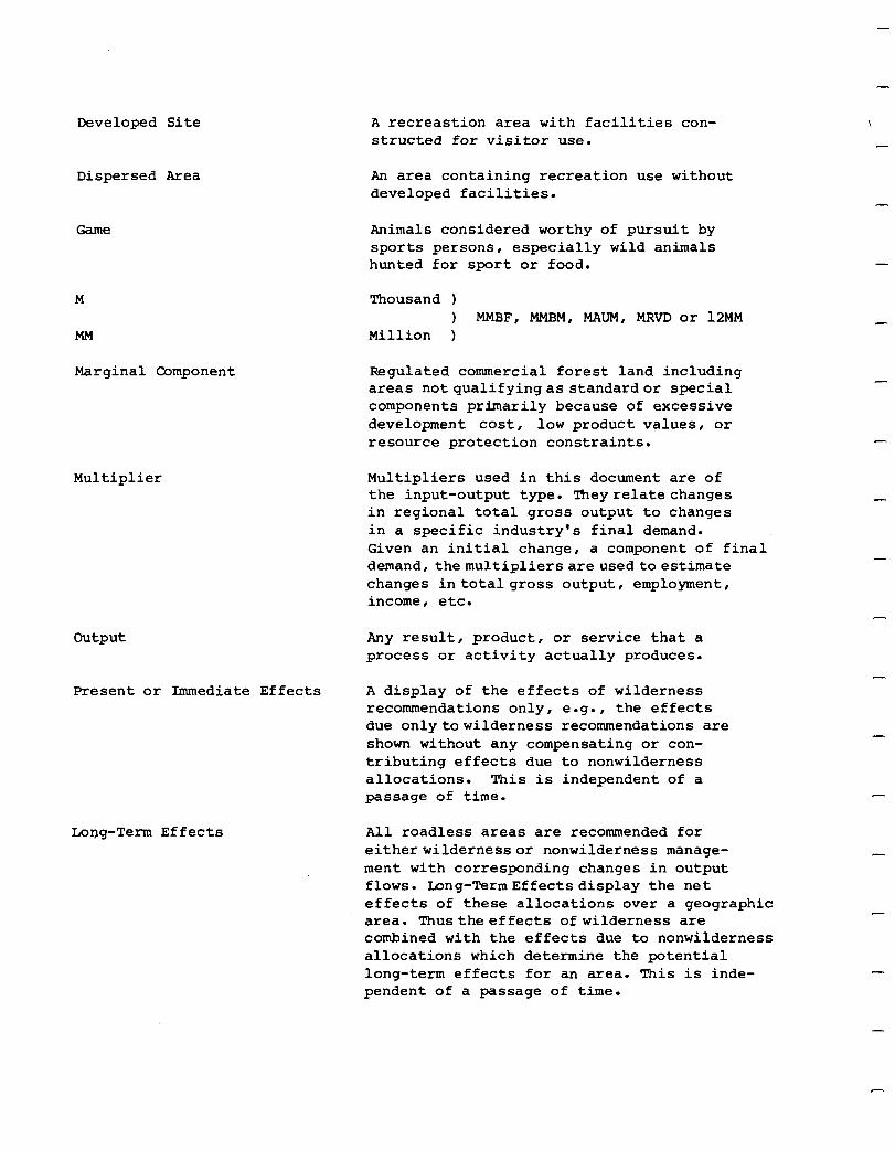
Developed Site
Dispersed Area
M
MM
Marginal Component
Multiplier
A recreastion area with facilities con- structed for visitor use.
An area containing recreation use without developed facilities.
Animals considered worthy of pursuit by sports persons, especially wild animals hunted for sport or food.
Thousand ) ) MMBF, MMBM, MAUM, MRVD or 12~~
Million )
Regulated commercial forest land including areas notqualifyingas standardor special components primarily because of excessive development cost, low product values, or resource protection constraints.
Multipliers used in this document are of the input-output type. Theyrelate changes in regional total gross output to changes in a specific industry's final demand. Given an initial change, a component of final demand, themultipliersare usedtoestimate changes intotalgross output, employment, income, etc.
-
-
output Any result, product, or service that a process or activity actually produces.
Present or Immediate Effects A display of the effects of wilderness recommendations only, e.g., the effects due onlytowilderness recommendations are shown without any compensating or con- tributing effects due to nonwilderness allocations. This is independent of a passage of time.
Long-Term Effects All roadless areas are recommended for eitherwildernessor nonwilderness manage- ment with corresponding changes in output flows. Long-TermEffectsdisplay the net effects of these allocations over a geographic area. Thustheeffects of wilderness are combined with the effects due to nonwilderness allocations which determine the potential long-term effects for an area. This is inde- pendent of a passage of time.
I I I I I 1 I I I I I 1 1 1 B 1 1 I 1
Potential Yield
Programmed Harvest
Recreation Visitor Day (RVD)
Regulated
Reserved
Special Component
Standard Component
The annual timber yield that can be obtained within 10 years on a multiple use, sustained yield basis utilizing intensive forest management practices.
That part of the potential yield that is planned for harvest in any one year.
Equivalent to a person spending 12 hours in recreation on public land.
Commercial forest land and its inventory that can contribute to systematic timber production under sustained yield principles. Timber is maintained as a setting for multiple use of the land.
Commercial forest land removed from pro- duction by legislative or administrative action, i.e. Wilderness.
Regulated commercial forest land area that is recognized in the land management plan as needing specially designed treat- ment of the timber resource to achieve landscape or other key resource objectives.
Regulated commercial forest land area on which crops of industrial wood can be grown and harvested with adequate protection of the forest resources under the provisions of the timber sale contract. This includes stands of immature trees or areas not yet accessible, but which will be in the future under a normal course of events.
-
Symbolic Meaning
Value Added
Wilderness Attribute
Withdrawal
The ideas, images, and perceptions that people have of a place ("White Meadow Roadless Area"), activity or behavior ("the fall hunt," "the prettiest view in the valley"), or a thing ("the old miner's cabin along Jones Creek") which have a special emotional meaning.
The percent of the region's (multi- county area, state, etc.) total sales paid to primary inputs, or the region's contribution to total sales. This differs from total output which includes imports, etc. The sum of value added for all sectors (all industrial sectors) within a region is a gross regional product.
One of the four attributes required or mentioned in the Wilderness Act (Natural Integrity, Apparent Naturalness, Outstand- ing Opportunities for Solitude, and Opportunities for Primitive Recreation). Supplemental attributes are outstanding ecological, geological, scenic, and historical features.
Certain lands administered by the Forest Service removed from appropriation and entry and set aside for other public purposes under the provisions of several acts of the Congress (includes reclamation, power sites, military uses, etc.).
-
-
-
-
-
-
-
-
-
*U.S. GOVERNMENT RINTING OFFICE: Iv8 O-27’94%