a brief overview preserve location lake george … · miles. turn left onto valley woods road. the...
TRANSCRIPT
This 1,909-acre parcel was acquired by the Lake George Land Conservancy (LGLC) in 2003 and sold to the state in 2013. It is now part of the Adirondack Forest Preserve. Its preservation is a major accomplishment in protecting the Lake George watershed, as one of the lake’s larger tributaries, Finkle Brook, flows through the preserve and forms Edgecomb Pond, the drinking water source for Bolton Landing.
In addition to preserving Edgecomb Pond, the Cat and Thomas Mountains Preserve protects the largest tract of contiguous land remaining in Bolton, yet another step in safeguarding the majestic viewshed of Lake George.
Just a five-minute drive from quaint Bolton Landing, the trails to the summits of Cat and Thomas provide a rewarding introduction to hiking the Adirondack trails. All of the preserve's trails have worthwhile views of Lake George’s south and central basins and the southwestern Adirondacks.
Hunting and trapping is allowed at the preserve; appropriate state licenses are required. Hikers should be aware of hunting seasons and wear bright colors and hike in groups to minimize risk.
Mountain biking is allowed on all of the trails. Recommended biking routes would be the orange trail, the yellow trail (to intersection with red) and red trail, from its intersection with yellow to Edgecomb Pond.
LGLC welcomes your comments and reports of damage or trail maintence needs. Please contact us at 518-644-9673 or [email protected].
To report any problems or acquire any permits, contact the DEC forest ranger, Rick Schroeder, at 518-335-3888.
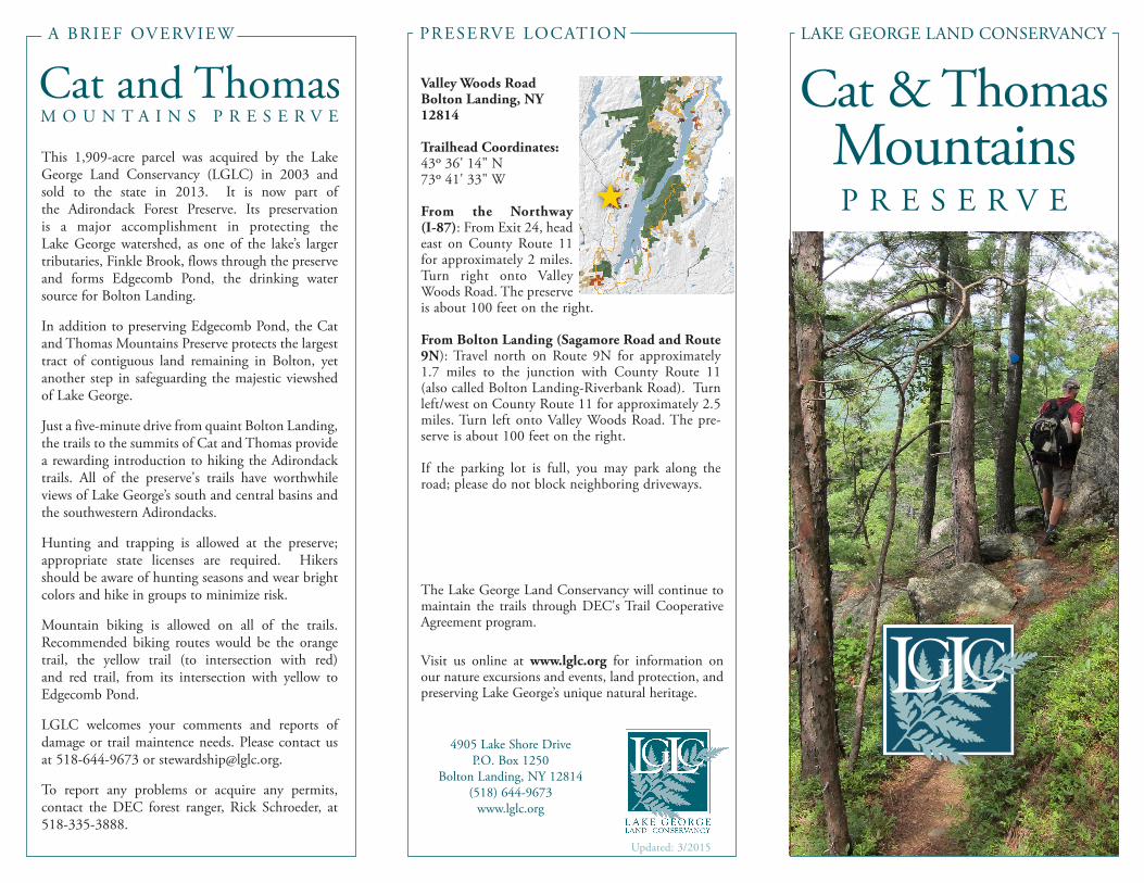
Valley Woods RoadBolton Landing, NY 12814
Trailhead Coordinates: 43o 36' 14" N73o 41' 33" W
From the Northway (I-87): From Exit 24, head east on County Route 11 for approximately 2 miles. Turn right onto Valley Woods Road. The preserve is about 100 feet on the right.
From Bolton Landing (Sagamore Road and Route 9N): Travel north on Route 9N for approximately 1.7 miles to the junction with County Route 11 (also called Bolton Landing-Riverbank Road). Turn left/west on County Route 11 for approximately 2.5 miles. Turn left onto Valley Woods Road. The pre-serve is about 100 feet on the right.
If the parking lot is full, you may park along the road; please do not block neighboring driveways.
Cat and ThomasM O U N T A I N S P R E S E R V E
4905 Lake Shore DriveP.O. Box 1250
Bolton Landing, NY 12814(518) 644-9673
www.lglc.org
The Lake George Land Conservancy will continue to maintain the trails through DEC's Trail Cooperative Agreement program.
Visit us online at www.lglc.org for information on our nature excursions and events, land protection, and preserving Lake George’s unique natural heritage.
PRESERVE LOCATION
A BRIEF OVERVIEW
Cat & ThomasMountainsP R E S E R V E
Updated: 3/2015
LAKE GEORGE LAND CONSERVANCY

Cat and ThomasP R E S E R V E T R A I L S
P
Valle
y Woo
ds R
d
Richard Hayes Phillips Trail
Orange Trail 1.4 miles
Two Brothers Trail 1.0 mile
Two Brothers Spur (to lookout) 0.1 miles
Richard Hayes Phillips Trail 2.3 miles
Yellow Trail 2.1 miles
Red Trail 2.4 miles
Scenic Lookout
Thomas Mt. Cabin Parking Lot/KioskP
Dept. of Environmental Conservation Use Guidelines
•Camping is permitted up to three nights, but you must be at least 150 feet from a road, trail, spring, stream or pond. Larger groups or more nights requires a permit.
•Do not pick the wildflowers, cut or mark the trees, remove any rocks, fossils or artifacts or disturb the ani-mals.
• No motorized vehicles of any kind allowed.• Fires are permitted, but must be attended to at all times.•Please do not litter. Carry out what you carry in.• The cabin is available on a first come, first served basis.• The storage of personal property is prohibited.
The orange trail to Thomas Mountain follows a dirt road with good footing, winding 716 feet up the mountain to end at a quaint cabin that offers 180 degree views and provides shelter and space to rest. Please respect other hikers by keeping the cabin clean and using the nearby privy.
Branching off from the orange trail just above the old gravel pit is the new blue trail. A slightly longer alternative to the dirt road, this trail, named the Two Brothers Trail, climbs to an elevation of just under 2,000 feet and includes a quick spur trail that ends with a fantastic view of the Adirondacks to the west. The Two Brothers Trail meets up with the ridge trail, also with blue markers; hikers can continue south to Cat Mountain or a short distance east to the cabin.
The ridge trail (Richard Hayes Phillips Trail) has blue markers and runs 2.3 miles from the Thomas Mountain cabin to the summit of Cat Mountain at 1,956-feet. Footing is more difficult than the other trails and hikers should be prepared for the longer, more challenging trek.
The yellow trail to Cat Mountain also follows a dirt road most of the way. From where the orange trail turns to ascend Thomas Mt., the yellow trail continues straight for 1.25 miles to the intersection with the ridge trail. Follow the ridge trail for 0.30 miles to the summit of Cat Mt. The summit offers a stunning 270° view of Lake George and the Adirondacks. The last third of the yellow trail is rocky and has less stable footing. Please note that two sections of the yellow trail are re-routed and one is closed to avoid heavily eroded areas. Please stay on marked trails.
The red trail is the newest and most challenging trail, which drops steeply from the summit of Cat Mt. for 0.4 miles before leveling off for 0.25 miles, then descending again gradually for 0.35 miles to a steep ravine. It then undulates for 0.6 miles until it reaches Edgecomb Pond, where it turns west and follows a dirt road. Just past the gate turn right (north) and continue to the intersection with the yellow trail.
1 inch
Preserve Map Key
Re-routeClosed Two Brothers Trail
HIKE