® © 2010 open geospatial consortium, inc. ogc interoperability program update: may 2010 presented...
TRANSCRIPT
®
© 2010 Open Geospatial Consortium, Inc.© 2010 Open Geospatial Consortium, Inc.
OGC Interoperability Program Update:OGC Interoperability Program Update:May 2010May 2010
Presented to USGS Data Integration Community
David Arctur, PhD
Director, Interoperability Programs
OGC®
TopicsTopics
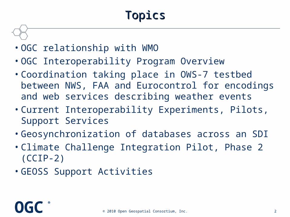
• OGC relationship with WMO • OGC Interoperability Program Overview• Coordination taking place in OWS-7 testbed between
NWS, FAA and Eurocontrol for encodings and web services describing weather events
• Current Interoperability Experiments, Pilots, Support Services
• Geosynchronization of databases across an SDI• Climate Challenge Integration Pilot, Phase 2 (CCIP-2)• GEOSS Support Activities
© 2010 Open Geospatial Consortium, Inc. 2
OGC®
OGC-WMO RelationshipOGC-WMO Relationship
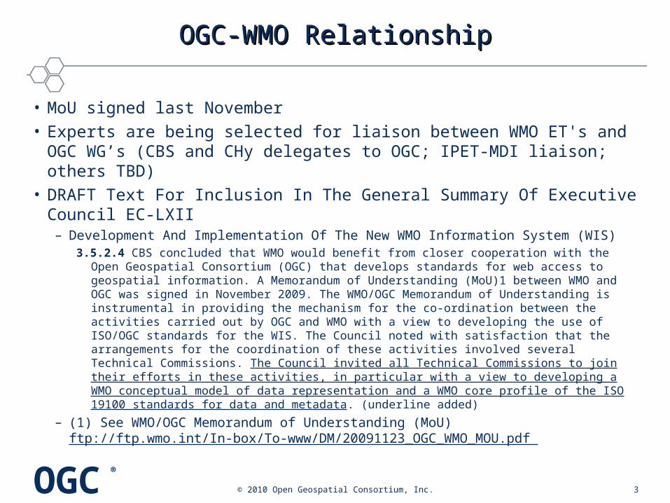
• MoU signed last November• Experts are being selected for liaison between WMO ET's and OGC
WG’s (CBS and CHy delegates to OGC; IPET-MDI liaison; others TBD)• DRAFT Text For Inclusion In The General Summary Of Executive
Council EC-LXII– Development And Implementation Of The New WMO Information System (WIS)
3.5.2.4 CBS concluded that WMO would benefit from closer cooperation with the Open Geospatial Consortium (OGC) that develops standards for web access to geospatial information. A Memorandum of Understanding (MoU)1 between WMO and OGC was signed in November 2009. The WMO/OGC Memorandum of Understanding is instrumental in providing the mechanism for the co-ordination between the activities carried out by OGC and WMO with a view to developing the use of ISO/OGC standards for the WIS. The Council noted with satisfaction that the arrangements for the coordination of these activities involved several Technical Commissions. The Council invited all Technical Commissions to join their efforts in these activities, in particular with a view to developing a WMO conceptual model of data representation and a WMO core profile of the ISO 19100 standards for data and metadata. (underline added)
– (1) See WMO/OGC Memorandum of Understanding (MoU) ftp://ftp.wmo.int/In-box/To-www/DM/20091123_OGC_WMO_MOU.pdf
© 2010 Open Geospatial Consortium, Inc. 3
OGC®
Interoperability Program OverviewInteroperability Program Overview
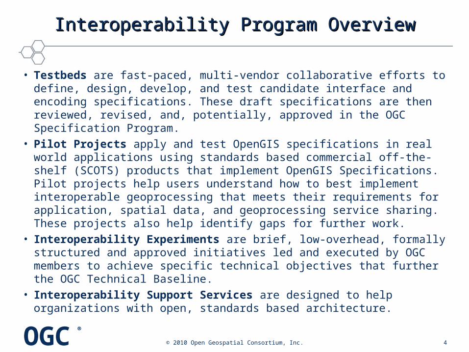
• Testbeds are fast-paced, multi-vendor collaborative efforts to define, design, develop, and test candidate interface and encoding specifications. These draft specifications are then reviewed, revised, and, potentially, approved in the OGC Specification Program.
• Pilot Projects apply and test OpenGIS specifications in real world applications using standards based commercial off-the-shelf (SCOTS) products that implement OpenGIS Specifications. Pilot projects help users understand how to best implement interoperable geoprocessing that meets their requirements for application, spatial data, and geoprocessing service sharing. These projects also help identify gaps for further work.
• Interoperability Experiments are brief, low-overhead, formally structured and approved initiatives led and executed by OGC members to achieve specific technical objectives that further the OGC Technical Baseline.
• Interoperability Support Services are designed to help organizations with open, standards based architecture.
© 2010 Open Geospatial Consortium, Inc. 4
OGC®
OWS-7 Testbed: Aviation WeatherOWS-7 Testbed: Aviation Weather
• The Aviation thread of OWS-7 is a collaboration funded by the US FAA and Eurocontrol, with strong support from the NNEW Program, to advance AIXM and WXXM specs.
• NextGen Network Enabled Weather (NNEW) Program is tasked with creating an infrastructure that will allow users of the United States' national airspace system — from air traffic controllers to National Weather Service employees — to access a single, nationwide picture of the weather.
• This infrastructure, the 4-D Wx Data Cube, will disseminate up-to-the-minute weather information synthesized from tens of thousands of data sources, providing its users with a single, authoritative source of weather observation and forecasting data.
© 2010 Open Geospatial Consortium, Inc. 5
NNEW wiki: https://wiki.ucar.edu/display/NNEWD/The+NNEW+Wiki OWS-7 Aviation: http://www.opengeospatial.org/projects/initiatives/ows-7

OGC®
Current IE’s UnderwayCurrent IE’s Underway
• Authentication IE (Auth IE) – Will test standard ways of transferring authentication information between OGC clients
and OGC services by leveraging mechanisms already existing in the transport protocol (HTTP and SOAP). The following mechanisms are planned on bench testing: HTTP Authentication, HTTP Cookies, SSL/X509, SAML, Shibboleth, and OpenID.
– http://www.opengeospatial.org/projects/initiatives/authie
• Hydro DWG Groundwater IE (GW IE) – Will advance the development of WaterML 2.0, test its use with various OGC
service standards (SOS, WFS, WMS and CSW), as well as investigate its interaction with GroundwaterML (GWML), in the context of sharing groundwater data between the USA and Canada.
– Public: http://www.opengeospatial.org/projects/initiatives/gwie – Twiki:
http://external.opengis.org/twiki_public/bin/view/HydrologyDWG/GroundwaterInteroperabilityExperiment
© 2010 Open Geospatial Consortium, Inc. 6
OGC®
IE’s in Planning: HydrologyIE’s in Planning: Hydrology
• Hydro DWG Surface Water IE (SW IE) – Will further advance the development of WaterML 2.0 and test its use with
various OGC service standards. It will also contribute to the development of a hydrology domain feature model and vocabularies, which are essential for interoperability within the hydrology domain.
– Will study three typical hydrological use case scenarios: • Surface water data exchange across national and organizational jurisdictions
(European) • Surface water flow data collection to support forecasting • Quantifying the flow of surface water to coastal systems (WMO Global Runoff
Data Centre)
– Public: http://www.opengeospatial.org/projects/initiatives/swie – Twiki:
http://external.opengis.org/twiki_public/bin/view/HydrologyDWG/SurfacewaterInteroperabilityExperiment
© 2010 Open Geospatial Consortium, Inc. 7

OGC®
IE’s in Planning: MeteorologyIE’s in Planning: Meteorology
• WMS Best Practices: – Time handling
– Get Capabilities layering or metadata
• SLD/SE Requirements: – Styling (using SLD/SE)
• Conceptual Modelling: – Weather Exchange Models (XML)
– Use Cases for conceptual modelling
– Controlled vocabulary (going towards a Taxonomy or Ontology)
http://external.opengeospatial.org/twiki_public/bin/view/MetOceanDWG/WebHome
© 2010 Open Geospatial Consortium, Inc. 8

OGC®
Interoperability PilotsInteroperability Pilots
• Earth Observation and ENVironmental modelling for the mitigation of HEAlth risks (EO2HEAVEN) – OGC is a member of the EO2HEAVEN team that is executing a
Collaborative Project of the European Commission 7th Framework Program.
– EO2HEAVEN contributes to a better understanding of the complex relationships between environmental changes and their impact on human health. The project will monitor changes induced by human activities, with emphasis on atmospheric, river, lake and coastal marine pollution. The result of this collaboration will be the design and development of a GIS based upon an open and standards-based Spatial Information Infrastructure (SII) envisaged as a helpful tool for research of human exposure and early detection of infections.
– http://www.opengeospatial.org/projects/initiatives/eo2heaven
© 2010 Open Geospatial Consortium, Inc. 9

OGC®
Interoperability Support ServicesInteroperability Support Services
• Fusion Standards Study, Part 2: Decision Fusion (Fusion 2)– In support of an OGC member, OGC is conducting a second phase
of the OGC Fusion Standards Study. The study reviews geospatial fusion including: a review of existing standards regarding fusion; a survey of standards and implementations with the focus on multi-int information sources. Phase 2 of the study concentrates on development of a use-case-based evaluation of integrating data and information from multiple intelligence sources.
– http://www.opengeospatial.org/projects/initiatives/fusion2
© 2010 Open Geospatial Consortium, Inc. 10
OGC®
GeosynchronizationGeosynchronization
• Purpose: to keep multiple databases synchronized around common entities, without the restrictions of database replication (ie, that all databases must have identical schemas). Well suited for national-regional-local database coordination.
• Approach: GIS editing clients implement a WFS-T server, enabling other users to request copies of changes made.
• This was developed in an Interoperability Pilot for Natural Resources Canada / GeoConnections in 2007, called the Canadian Geospatial Data Infrastructure (CGDI) Pilot.– OGC 08-000 CGDI Summary Report– OGC 08-001 Loosely Coupled Synchronization of Geographic
Databases in the CGDI– OGC 08-002 CGDI Best Practices Engineering Report
© 2010 Open Geospatial Consortium, Inc. 11

OGC®
CGDI Federation ServersCGDI Federation Servers
© 2010 Open Geospatial Consortium, Inc. 12
OGC®
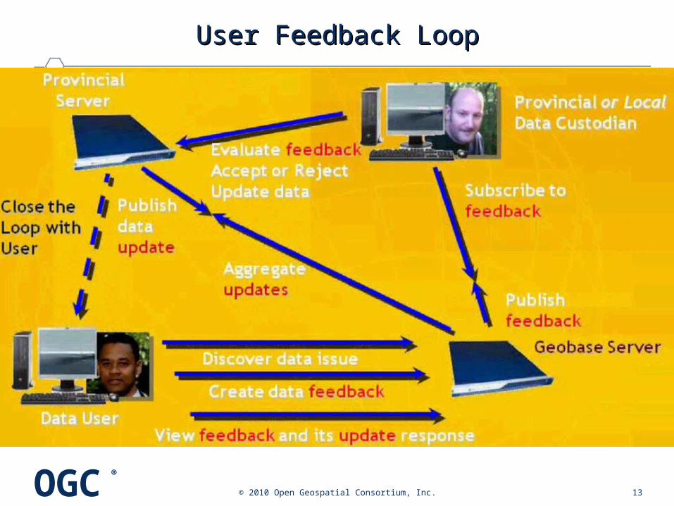
User Feedback LoopUser Feedback Loop
© 2010 Open Geospatial Consortium, Inc. 13

OGC®
Climate Challenge Integration Pilot, Phase 2Climate Challenge Integration Pilot, Phase 2
• Currently seeking funding sponsors and climate science scenarios for showing how OGC WMS, WCS, WFS, SOS, Catalog, and WPS could boost the productivity of climate science analyses, and improve communications beyond the climate science community for outreach
• Expected duration: about 8 months
© 2010 Open Geospatial Consortium, Inc. 14
OGC®
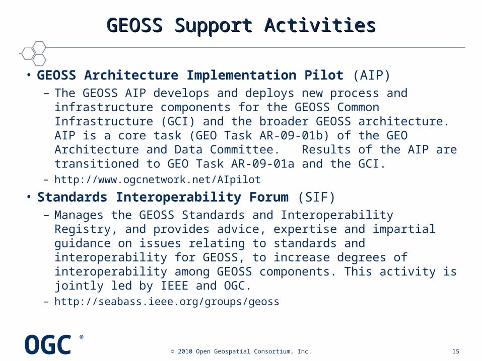
GEOSS Support ActivitiesGEOSS Support Activities
• GEOSS Architecture Implementation Pilot (AIP)– The GEOSS AIP develops and deploys new process and infrastructure
components for the GEOSS Common Infrastructure (GCI) and the broader GEOSS architecture. AIP is a core task (GEO Task AR-09-01b) of the GEO Architecture and Data Committee. Results of the AIP are transitioned to GEO Task AR-09-01a and the GCI.
– http://www.ogcnetwork.net/AIpilot
• Standards Interoperability Forum (SIF)– Manages the GEOSS Standards and Interoperability Registry, and provides
advice, expertise and impartial guidance on issues relating to standards and interoperability for GEOSS, to increase degrees of interoperability among GEOSS components. This activity is jointly led by IEEE and OGC.
– http://seabass.ieee.org/groups/geoss
© 2010 Open Geospatial Consortium, Inc. 15

OGC®
RecapRecap
• OGC relationship with WMO • OGC Interoperability Program Overview• Coordination taking place in OWS-7 testbed between
NWS, FAA and Eurocontrol for encodings and web services describing weather events
• Current Interoperability Experiments, Pilots, Support Services
• Geosynchronization of databases across an SDI• Climate Challenge Integration Pilot, Phase 2 (CCIP-2)• GEOSS Support Activities
© 2010 Open Geospatial Consortium, Inc. 16

OGC®
Thanks!Thanks!QuestionsQuestions??
Copyright © 2009 Open Geospatial Consortium, Inc. 17
Dr. David Arctur [email protected]
Open Geospatial Consortiumhttp://www.opengeospatial.org