world map of hydrogeological conditions and groundwater flow roald dzhamalov and igor zektser
DESCRIPTION
WORLD MAP OF HYDROGEOLOGICAL CONDITIONS AND GROUNDWATER FLOW ROALD DZHAMALOV and IGOR ZEKTSER head of Labs, Water Problems Institute, Russian Academy Sciences, Moscow, Russia. World Map of Hydrogeological Conditions and Groundwater Flow - PowerPoint PPT PresentationTRANSCRIPT

WORLD MAP OF HYDROGEOLOGICAL CONDITIONS AND GROUNDWATER FLOW
ROALD DZHAMALOV and IGOR ZEKTSERhead of Labs,
Water Problems Institute, Russian Academy Sciences,
Moscow, Russia

World Map of Hydrogeological Conditions andGroundwater Flow
Digital World Map of Hydrogeological Conditions andGroundwater Flow
Version 2.0; Vertical Scale 1:10 000 000Compiled by the
Water Problems Institute of the Russian Academy of Sciences Under UNESCO Supervision
EDITORS-IN-CHIEF
Roald G. Dzhamalov and Igor S. ZektserEDITORIAL BOARD
A. Aureli (Italy), H. Bitesnik (Argentina), N. da Franca (Brazil), I. V. Diordiev (Russia), L. G. Everett (USA), V
Gilbrich (UNESCO), J. Jacobson (Australia), R. A. Kanivetsky (USA), M. G. Khublaryan (Russia), V. A.
Kiryukhin (Russia), J. Margat (France), N. A. Marinov (Russia), A. Mente (Brazil), L. P. Novoselova (Russia), V. Ramnarong (Thailand), T. I. Safronova (Russia), B.
B. S. Singhal (India), S. Soekiban (Indonesia), W. Struckmeier (Germany), A. Valdes (Cuba), V. A.
Vsevolozhsky (Russia), S. Wongsawat (Thailand)
AUTHORSR. G. Dzhamalov, I. V. Diordiev, I. S. Zektser, V. A.
Ivanov, N. A. Lebedeva, V I. Nikonova, Yu. L. Obyedkov, T. I. Safronova, T.N.Sorokina.
CARTHOGRAPHERSZ. G. Golubeva and L. Ya. Gervits
CONSULTANTSS. C. Csallany, B. Magyar, J. Stickel, T. Toth
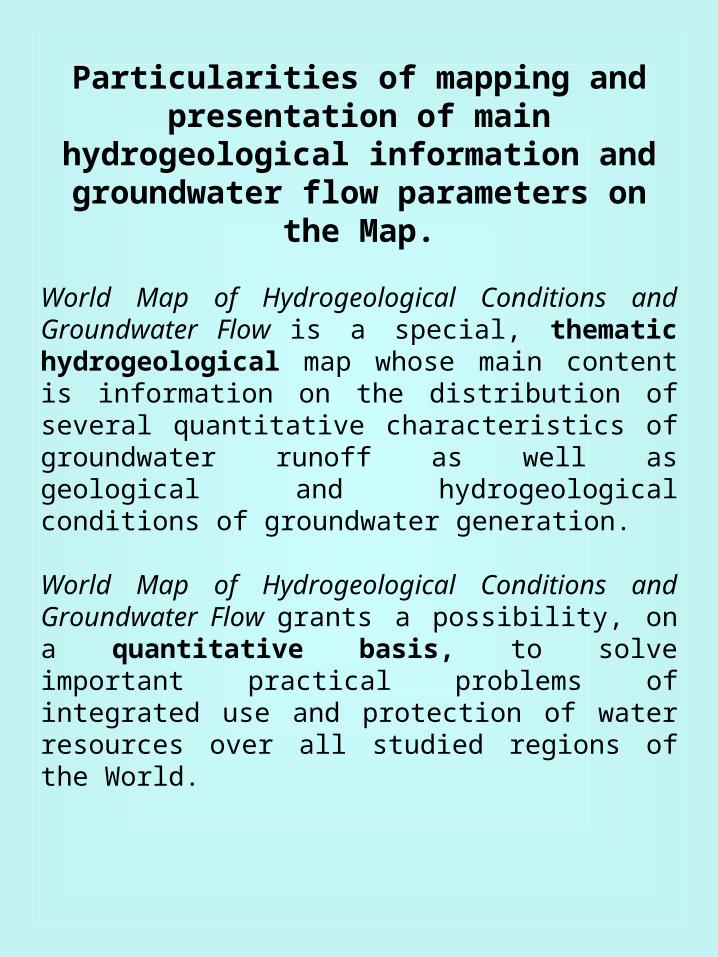
Particularities of mapping and presentation of main hydrogeological
information and groundwater flow parameters on the Map.
World Map of Hydrogeological Conditions and Groundwater Flow is a special, thematic hydrogeological map whose main content is information on the distribution of several quantitative characteristics of groundwater runoff as well as geological and hydrogeological conditions of groundwater generation.
World Map of Hydrogeological Conditions and Groundwater Flow grants a possibility, on a quantitative basis, to solve important practical problems of integrated use and protection of water resources over all studied regions of the World.

In small-scale mapping of hydrogeological conditions and groundwater flow, distinguishing aquifers and aquifer systems is a severe problem. Therefore the authors of the Map, having extensive experience in mapping, have come to a conclusion that it is necessary to distinguish principal groundwater flow media-types of rocks with common conditions of generation and spatial distribution of water-conducting properties.
A groundwater flow medium type is determined by the genesis of water-enclosing rocks or the genetic type of open space (pore, fracture, karst and other media); a groundwater flow medium subtype is determined by processes (generating conditions), controlling the character and extent of the non-uniformity of medium permeability.
Four principal types of groundwater flow media are shown on the Map.
a) sedimentogenic - pore,b) sedimentogenic - fracture,c) karst andd) magmatogenic – metamorphogenic

Groundwater flow or runoff is groundwater discharge provided by its replenishment (recharge) under natural conditions. In many cases for mean annual assessment groundwater flow (runoff) value equals so-called natural groundwater resources, namely that part of total groundwater resources which renews from year to year in result of natural recharge. Groundwater flow quantitatively may be expressed by several specific values or characteristics.
groundwater flow modules - average annual or minimal groundwater discharge in liters per second per square kilometer or in cubic meter per day per square kilometer, in /1/s km2 or m/day km2;
groundwater flow coefficient - ratio between groundwater flow and precipitation, in percentage;
coefficient of groundwater contribution to river runoff – ratio between groundwater flow to river to total river runoff, in percentage.
It is important to emphasize that on the Map, represented special conditions of groundwater flow generation, affected by human activities, intensive karstification, sea water intrusion areas of surface runoff engulfing in river channels crossing rift zones and regional faults, occurrence of semipermeable rocks, etc.

Legend of World Map (part)

WORLD MAP OF HYDROGEOLOGICAL CONDITIONS AND GROUNDWATER FLOW
(fragment)
1:10 000 000

The Map makes it possible to assess:
a) Groundwater runoff and natural fresh groundwater resources for characterization of water availability in individual regions of the World;
b) Groundwater discharge to rivers for determining the subsurface component of river runoff (base flow) and prediction of its possible variation under the effect of groundwater development;
c) Groundwater recharge values for regional evaluation of the safe yield and making water-resources balances of economic regions and the so-called natural-and-territorial complexes;
d) Groundwater discharge amount as an element of the water balance of the country areas and its separate regions; and
e) Direct groundwater discharge to seas and oceans.

Present-day Water Resources Availability of Continents
Континент Площадь, млн. км2
Водные ресурсы, км3/год Водообес-печенность,тыс. м3 на 1
км2
Среднемноголе
тняявеличин
а (речной
сток)
подземные
воды
Отношение ресурсов
подземных вод к
речному стоку,
%
Европа 10.46 2900 677 23 344
Сев. Америка
24.3 7890 1630 21 391
Юж. Америка
17.9 12030 3634 30 876
Азия 43.5 13510 2420 18 366
Африка 30.1 4050 979 24 166
Австралия и Океания
8.95 2405 312 13 304
Вся суша 135 42785 9652 23 388

Present-day and Modeling Runoff of Main Rivers in the World, 103 cub.m/s
А. Высокие широты Расходыв ХХ веке
Прогнозные расходы для
середины ХХI века
Изменения, в %
1. Юкон 12.0 14.5 +20.5%
2.Макензи 9.0 10.8 +20.8%
3. Енисей 15.6 17.7 +13.4%
4. Лена 16.7 18.7 +12.3%
5. Обь 7.7 9.3 +20.6%
Б. Средние широты
6. Рейн 5.2 6.5 +24.5%
7. Волга 6.1 7.7 +25.1%
8. Дунай/Днепр 7.5 9.1 +20.7%
9. Колумбия 9.2 11.1 +21.1%
10. Св. Лаврентия 15.2 16.1 +6.2%
11. Миссисипи 11.6 11.7 +0.1%
12.Амур 9.2 9.1 -0.8%
13. Хуан Хе 16.7 16.8 +0.1%
14. Чанг Джиган 59.2 61.4 +3.7%
15. Замбези 31.1 30.9 -0.7%
16. Парана/Уругвай 23.5 29.0 +23.6%
В. Низкие широты
17. Амазонка 308.0 343.0 +11.3%
18. Ориноко 34.3 36.8 +7.5%
19. Ганг/Брахмапутра 60.7 71.3 +17.5%
20. Конго 146.0 149.0 +1.8%
21. Нил 58.3 61.3 +5.1%
22. Меконг 42.2 39.6 -6.2%

Water Resources Changes in Different Russian Regions in 1991-2000
Экономические районы
Средние многолет
ние значения,
км3
Среднее за 1991-2000
гг., км3
Отклонение от среднего
многолетнего, %
Северный_ 512 566 +9,5
Северо-западный 90,2_ 96,1_ +6,3
Центральный 112 125 +10.5
Волго-Вятский 153_ 174 +12,1
Центрально- Черноземный
20,9_ 20,2 -3,5
Поволжский 276 316 +12,7
Северо-Кавказский
71,0 73,0 +2,7
Уральский 132 164 +19,5
Западно-Сибирский
583 589 +1,0
Восточно-Сибирский
1124 1229 +8,7
Дальневосточный 1850 1892 +2,2
Калининградская обл.
23,1 22,6 -2,3
Россия в целом 4262 4509 +5,4

Река, створ Средние многолет
ние значения
, км3
Среднее за 1991- 2000
гг., км3
Отклонение от среднего
многолетнего, %
Нева - устье 74,3 77,4 +4,2
Днепр - Смоленск
3,0 3,2 +6,0
Дон - Раздорская
25,3 22,7 -10,1
Кубань - устье 13,0 12,4 -4,8
Волга - Лебяжье
227 263 +15,9
Урал - Кушум 9,7 12,4 +27,5
Северная Двина - устье
101 114 +12,4
Печора - устье 129 137 +6,5
Обь - Салехард 405 403 -0,5
Енисей - Игарка
572 617 +7,8
Лена - устье 537 558 +3,9
Амур - Комсомольск
306 307 +0,2
Changes in Runoff of Main Russian Rivers in 1991-2000