vscapes blurb
TRANSCRIPT
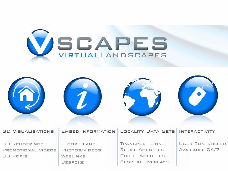
3D Visualisations
3D Renderings
Promotional Videos
3D Pdf’s
Embed information
Floor Plans
Photos/Videos
Weblinks
Bespoke
Locality Data Sets
Transport Links
Retail Amenities
Public Amenities
Bespoke overlays
Interactivity
User Controlled
Available 24/7
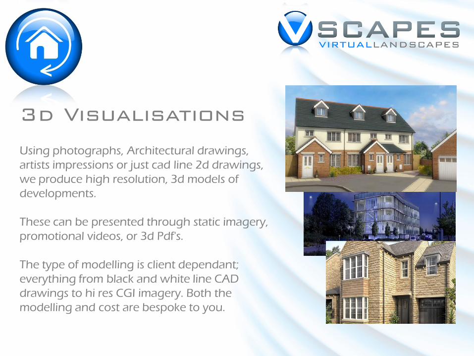
3d Visualisations
Using photographs, Architectural drawings,
artists impressions or just cad line 2d drawings,
we produce high resolution, 3d models of
developments.
These can be presented through static imagery,
promotional videos, or 3d Pdf's.
The type of modelling is client dependant;
everything from black and white line CAD
drawings to hi res CGI imagery. Both the
modelling and cost are bespoke to you.
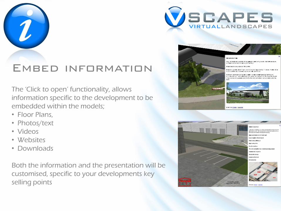
Embed information
The ‘Click to open’ functionality, allows
information specific to the development to be
embedded within the models;
• Floor Plans,
• Photos/text
• Videos
• Websites
• Downloads
Both the information and the presentation will be
customised, specific to your developments key
selling points
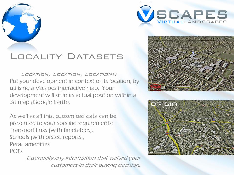
Locality Datasets
Location, Location, Location!!
Put your development in context of its location, by
utilising a Vscapes interactive map. Your
development will sit in its actual position within a
3d map (Google Earth).
As well as all this, customised data can be
presented to your specific requirements:
Transport links (with timetables),
Schools (with ofsted reports),
Retail amenities,
POI’s.
Essentially any information that will aid your customers in their buying decision.
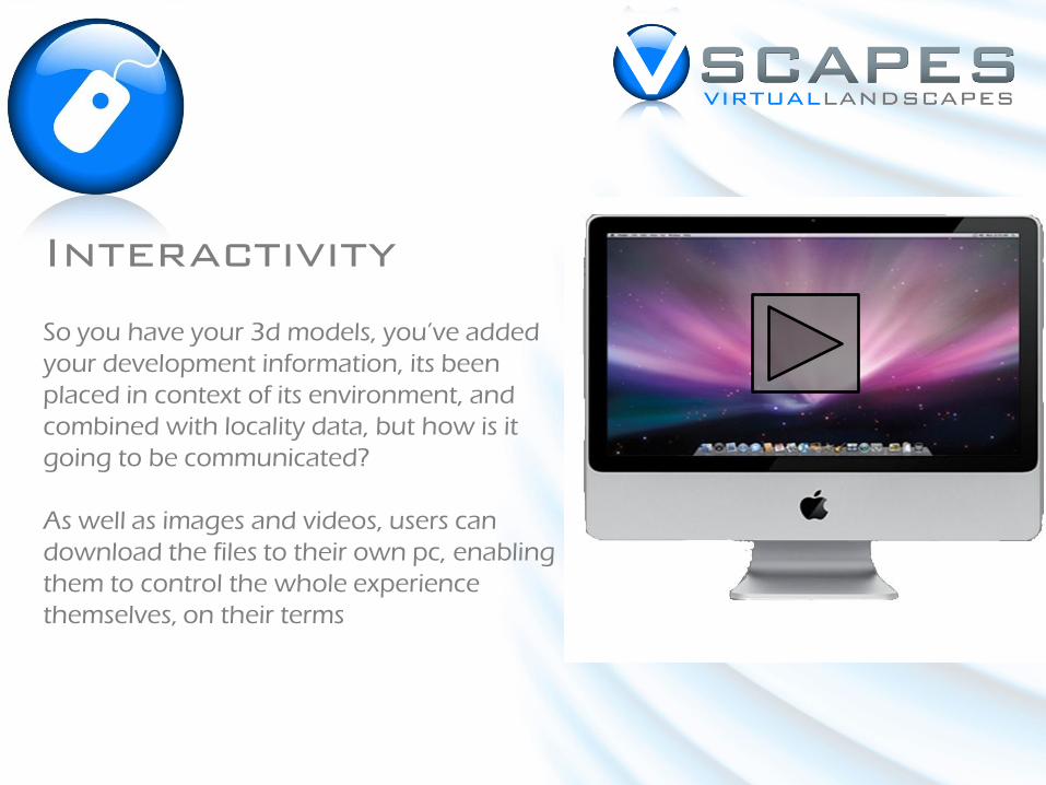
Interactivity
So you have your 3d models, you’ve added
your development information, its been
placed in context of its environment, and
combined with locality data, but how is it
going to be communicated?
As well as images and videos, users can
download the files to their own pc, enabling
them to control the whole experience
themselves, on their terms
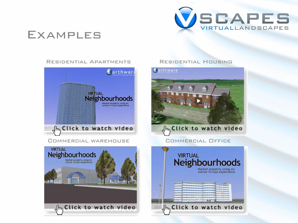
Examples
Residential Housing
Commercial Office
Residential Apartments
Commercial warehouse
Dan Roberts
Sales and Marketing Manager
M: 07789 884 597
T: 08456 439 880
www.earthware.co.uk/vscapes