utah natural heritage program field data collection field data collection 11 mar. 2015 r. fitts - 1
TRANSCRIPT
Utah Natural Heritage Program
Field Data Collection
Field Data Collection 11 Mar. 2015 R. Fitts - 1

• Cooperative of Utah State University and the Utah Division of Wildlife.
• Keep track of Rare Plant and Animals.
• Database of Sensitive Species.
Field Data Collection 11 Mar. 2015 R. Fitts - 2
Who We Are:
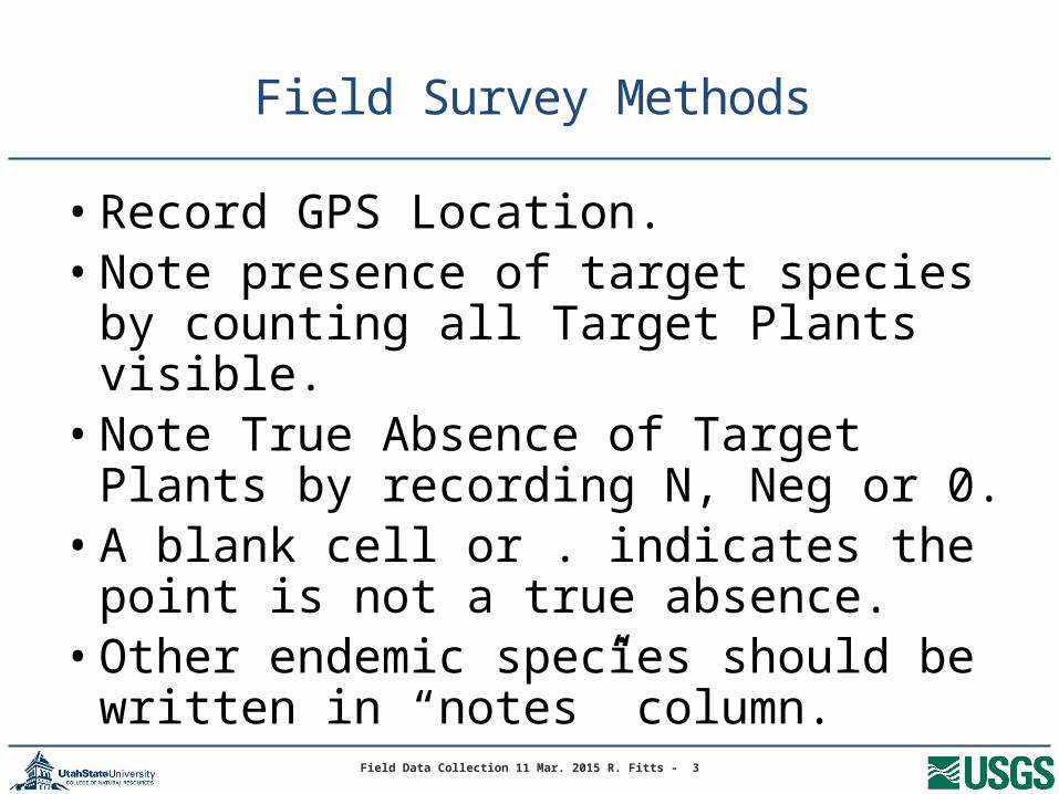
• Record GPS Location.• Note presence of target species by
counting all Target Plants visible.• Note True Absence of Target Plants by
recording N, Neg or 0.• A blank cell or . indicates the point is not a
true absence. • Other endemic species should be written
in “notes” column. Field Data Collection 11 Mar. 2015 R. Fitts - 3
Field Survey Methods

Positive and negative points shown above
Field Data Collection 11 Mar. 2015 R. Fitts - 4

Importance of True Absence
• Records negative data for spatial analysis
• Shows area surveyed
• Helps plan future surveys
Field Data Collection 11 Mar. 2015 R. Fitts - 5
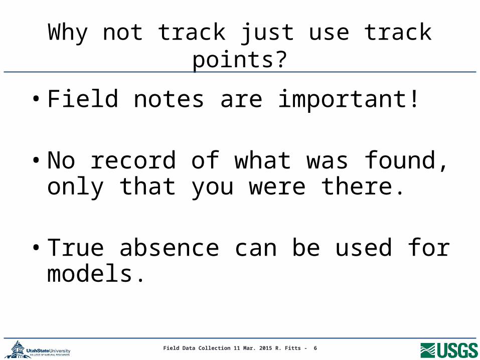
Why not track just use track points?
• Field notes are important!
• No record of what was found, only that you were there.
• True absence can be used for models.
Field Data Collection 11 Mar. 2015 R. Fitts - 6

Adaptable Field Form
Field Data Collection 11 Mar. 2015 R. Fitts - 7
1st GPS coordinates Date Surveyor
GPS #
Cryptantha barnebyi
Cryptantha
grahamii
Glaucocarpum suffrutescens
Penstemon grahamii
Penstemon
scarariosus v.
albifluvi
s
Schoenocrambe
argillace
a
Schoenocrambe barnebyi
Sclerocactus brevispinus
Sclerocactus wetlandicus
Notes: Record N or Neg for survey points where target species was not found (search 30X30 meter area). Names of other sensitive species should be recorded in the notes.

Use Columns for the Target sp.
Field Data Collection 11 Mar. 2015 R. Fitts - 8
1st GPS coordinates 663458, 4437825Date 1 may 15 Surveyor Mr. Botanist
GPS #
Cryptantha barnebyi
Cryptantha
grahamii
Glaucocarpum suffrutescens
Penstemon grahamii
Penstemon
scarariosus v.
albifluvi
s
Schoenocrambe
argillace
a
Schoenocrambe barnebyi
Sclerocactus brevispinus
Sclerocactus wetlandicus
Notes: Record N or Neg for survey points where target species was not found (search 30X30 meter area). Names of other sensitive species should be recorded in the notes.
1 5 n n 1 n n n n n Shale barren2 n n n n n n n n n P-J woods3 . . . . 23 . . . . Eriogonum ephedroides

When Target Species not found
• Make a point a regular intervals (we use 250 m)
• Record n in the cell for negative point
Field Data Collection 11 Mar. 2015 R. Fitts - 9
Field Data Collection 11 Mar. 2015 R. Fitts - 10
Happy surveying
• Thanks to all who contribute data
• Utah Natural Heritage Program