tumut local environmental plan 2012 - nsw legislation · tumut local environmental plan 2012 land...
TRANSCRIPT
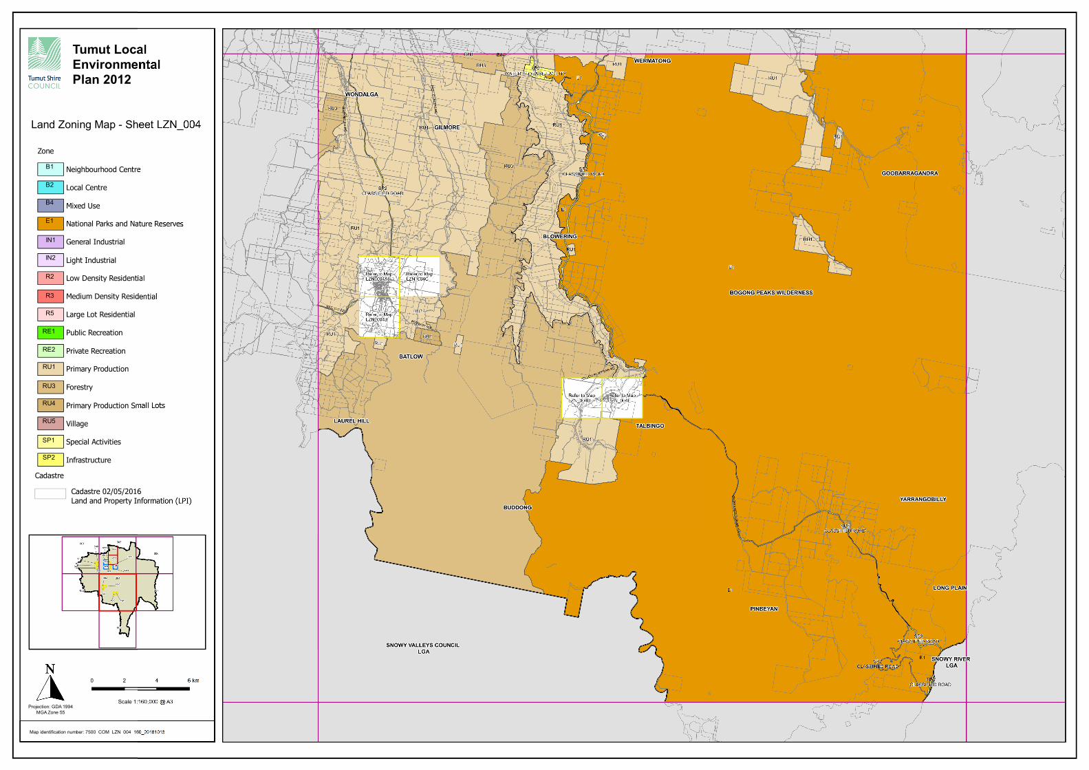
Tumut Local
Environmental
Plan 2012
Land Zoning Map - Sheet LZN_004
Map identification number: 7500_COM_LZN_004_160_20161013
Projection: GDA 1994
MGA Zone 55
Scale 1:160,000 @ A3
Zone
Neighbourhood Centre
Local Centre
Mixed Use
National Parks and Nature Reserves
General Industrial
Light Industrial
Low Density Residential
Medium Density Residential
Large Lot Residential
Public Recreation
Private Recreation
Primary Production
Forestry
Primary Production Small Lots
Village
Special Activities
Infrastructure
Cadastre 02/05/2016
Land and Property Information (LPI)
Cadastre
B1
B2
B4
E1
IN1
IN2
R2
R3
R5
RE1
RE2
RU1
RU3
RU4
RU5
SP1
0 2
SP2