the sustainability of land uses in the strzelecki ranges in victoria, australia
DESCRIPTION
Daniel M. Mainville MIEAust., P. Eng. Department of Sustainability and Environment Associate Professor John C. Brumley School of Civil and Chemical Engineering / RMIT University. The Sustainability of Land Uses in the Strzelecki Ranges in Victoria, Australia. Outline. Introduction - PowerPoint PPT PresentationTRANSCRIPT
The Sustainability of Land Uses in the Strzelecki Ranges in Victoria, AustraliaDaniel M. Mainville MIEAust., P. Eng.
Department of Sustainability and Environment
Associate Professor John C. BrumleySchool of Civil and Chemical Engineering / RMIT University.

Outline
• Introduction • Methodology• Results • Discussions• Summary• Acknowledgments
Introduction
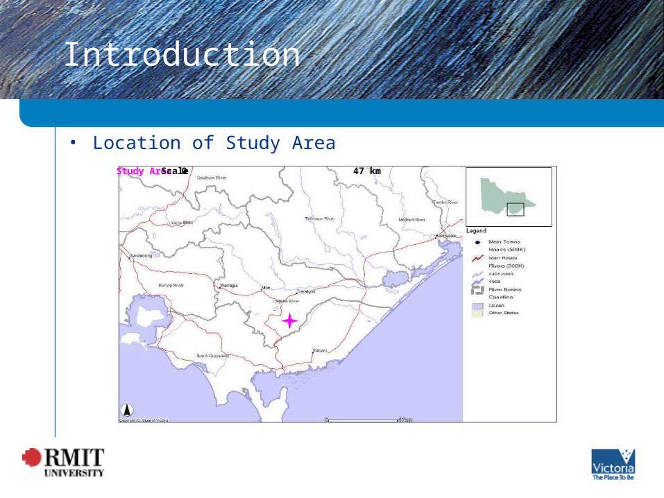
• Location of Study AreaStudy AreaScale0 47 km

Introduction
• Policy and Legislation
– Catchment and Land Protection Act 1984
– Environment Protection Act 1970• State Environment Protection Policy (Waters of Victoria), 2003• State Environment Protection Policy (Groundwaters of Victoria), 2002
– Code of Practice• Code of Forest Practices for Timber Production, 1996
– Flora and Fauna Guarantee Act 1988
– Planning and Environment Act 1987
Introduction
• Policy and Legislation
– Commonwealth of Australia Department of the Environment and Heritage (2003), Default Target Values for Upland Rivers:
• 2 - 25 NTU for turbidity, and • 30 - 350 µS/cm for EC (at 25°Celsius)
• Land Uses– Reserved / Protected Forests– Forestry – Agriculture

Land Use - Control Catchment
• Features – steep slopes– Mountain Ash plantation,
established in 1972 and 1973– riparian vegetation - Wet
Forest, EVC 30– natural surface track, 1850
meters– fire access track, 2650 meters– extensive recreational use– healthy stream
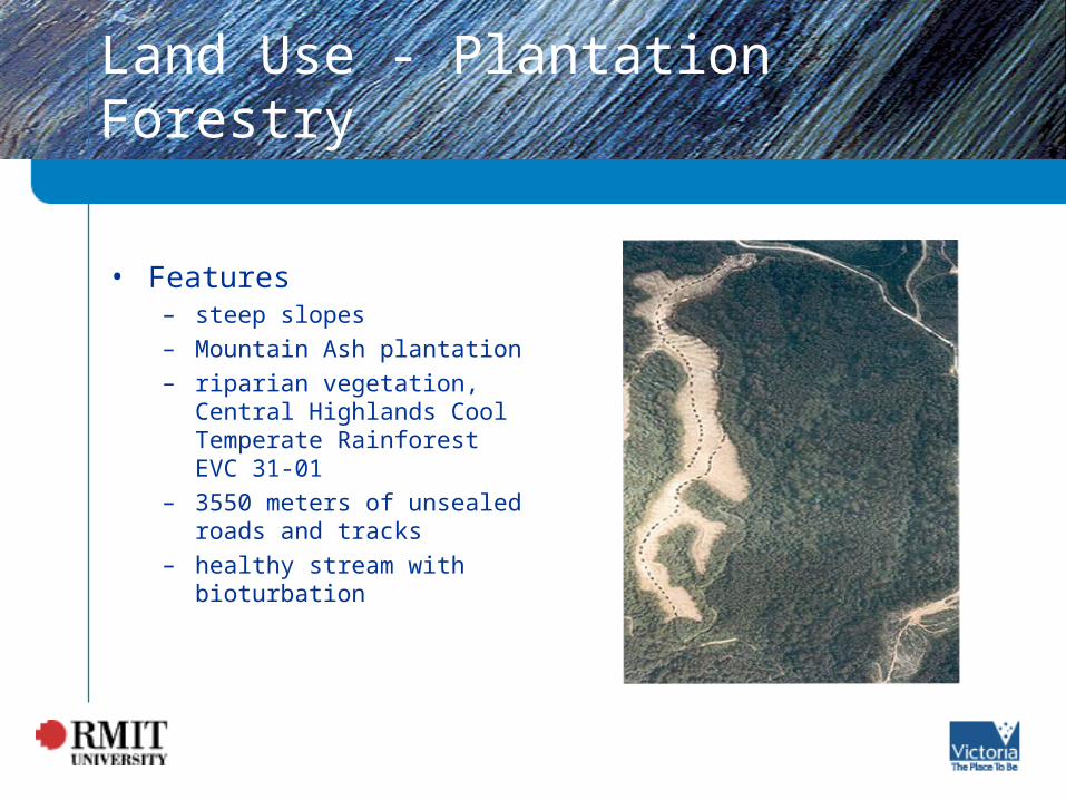
Land Use - Plantation Forestry
• Features– steep slopes– Mountain Ash plantation– riparian vegetation, Central
Highlands Cool Temperate Rainforest EVC 31-01
– 3550 meters of unsealed roads and tracks
– healthy stream with bioturbation

Land Use - Agriculture
• Features– steep slopes– gravel surfaced road, 3900
meters– natural surface tracks – 8 homes with outbuildings– continuous grazing– unrestricted livestock access
to the steam– visible damage to the
streambanks – limited riparian vegetation– in-stream farm dams

Methodology
• Paired Catchment approach
• Water Quality Indicators – Turbidity– Stream Flow– Electrical Conductivity– Temperature
• Experimental Site Set Up – Fixed Horizontal Bank – Electrical Conductivity– Turbidity Probe
Methodology
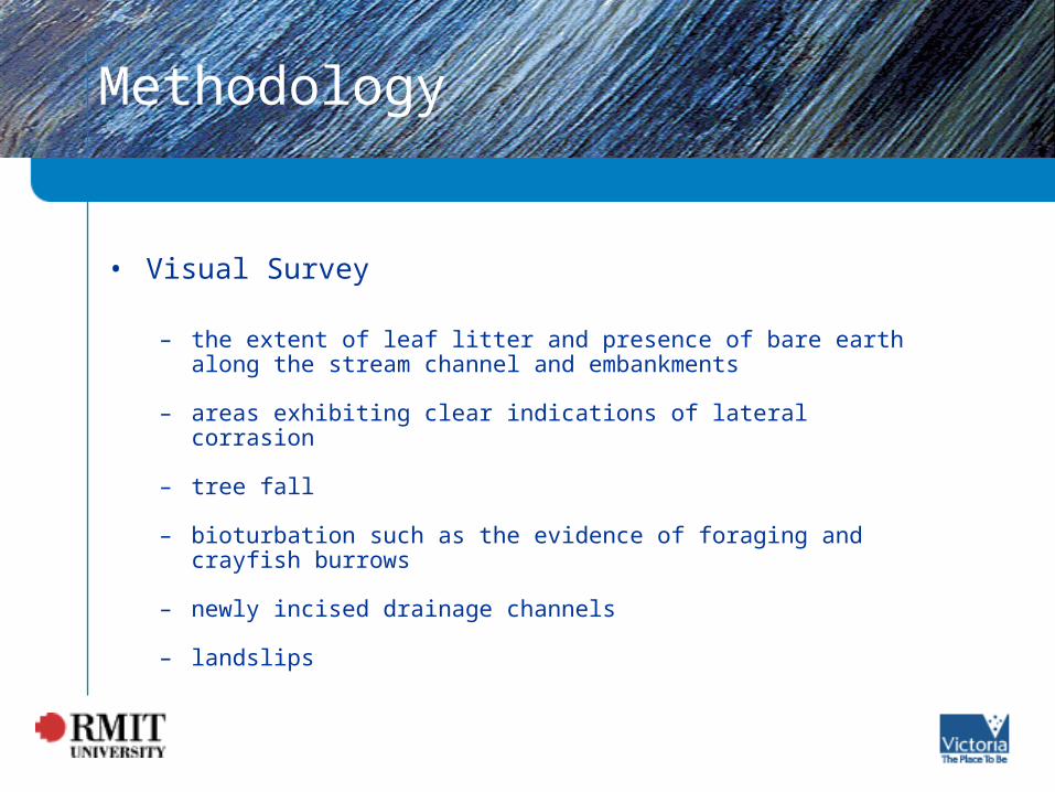
• Visual Survey
– the extent of leaf litter and presence of bare earth along the stream channel and embankments
– areas exhibiting clear indications of lateral corrasion
– tree fall
– bioturbation such as the evidence of foraging and crayfish burrows
– newly incised drainage channels
– landslips

Results
Median Turbidity (NTU)Catchment
Manual Logged
EC (µs/cm) Temperature (oC)
GG - Control 9 25 101 10.3
C9 – Plantation 28 25 112 10.2
PV- Agriculture 52 61 168 12.6

Timber Harvesting
General Harvesting Area Buffer
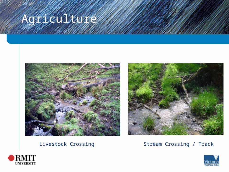
Agriculture
Stream Crossing / TrackLivestock Crossing

Bioturbation
Control Catchment Forestry Control Catchment

Bioturbation
Bank Disturbance Crawfish Burrows

Recreation
Wet Area Slope

Discussion
• Forestry – Harvesting Operations– Riparian Vegetation
• Agriculture– Grazing– Riparian Vegetation
• Recreational Use
• General – Roads and Tracks– Policy– Community Engagement

Summary
• Research Methodology
• Agriculture
• Forestry
• Recreational Use

Acknowledgments
• Special Thanks To: