tensleep/phosphoria formations - geodigital · pdf filetensleep - phosphoria of the bighorn...
TRANSCRIPT

Formations
Bighorn Basinof the
Tensleep/Phosphoria

Tensleep - Phosphoria of the Bighorn Basin Overview
GeoDigital Information's Tensleep-Phosphoria study is designed to enhance both exploration and development efforts that are directed at Tensleep and Phosphoria reservoirs. These reservoirs occur within eolian sandstone and peritidal carbonate sequences at multiple stratigraphic horizons. GDI has created an extensive stratigraphic framework that documents the extent of these reservoir-potential intervals. The mapping of these intervals is essential in the exploration for Tensleep and Phosphoria reservoirs.
The Tensleep-Phosphoria study represents twelve man-years of geologic research which affords explorationists significant time savings in assimilating data and developing exploration strategies. The study area covers 7488 square miles in northeastern Wyoming and southeastern Montana. It spans Big Horn, Washakie, Hot Springs and Park counties in Wyoming and Carbon county in southeastern Montana.
Correlations of 5,536 wells were made by defining 22 geologic markers throughout the study area. In addition, porosity limits were defined for all wells with suitable log suites.
Tensleep and Phosphoria depositional models and lithofacies reservoir potential are determined through the integration of core, thinsection, and log analyses. Four representative field studies are incorporated with a focus on Tensleep and Phosphoria reservoir characteristics, trap types, and deliverability.
The Tensleep and Phosphoria study contains descriptions of 166 cores. Additionally, more than 550 thinsections were examined to define the diagenetic sequence of events that affect reservoir quality. These core and thinsection descriptions are essential for understanding the geologic history of the Tensleep and Phosphoria in the Bighorn Basin.
The study components include an extensive summary text and figures, maps and cross sections, core and thinsection descriptions, and stratigraphic data appendices. These components provide the client with a presentation format that is concise and readily useable.
Database
5,536 Study Wells
22 Regional Stratigraphic Markers Correlated
166 Cores Described
42 Measured Outcrop Section Described
562 Thinsections
134 Rock Types Described in the Rock Guide

Maps
Regional Maps (1:250000) (1:96000) (1:48000)
Interval Isopach Map
Structure Maps
Sandstone Maps
Porosity-Feet Maps
Facies Distribution Maps
Field Study Maps (1:24,000)
Interval Isopach Maps
Sandstone Maps
Porosity-Feet Maps
Structure Maps
Cross Sections
26 - Regional Stratigraphic Sections 21 - Field Cross Sections
Field Studies
Cottonwood Creek, Sage Creek/Big Polecat, Oregon Basin, Little Buffalo
Report Contents
TEXT AND FIGURES - An extensively illustrated report includes discussions, figures, and color plates on: Executive Summary, History of Study, Stratigraphy, Tectonic Framework, Tensleep Formation, Phosphoria Formation, Petrography, Rock Guide, Field Studies, Synthesis, and Exploration Potential.
CORE AND OUTCROP DESCRIPTIONS - This appendix contains descriptions of 166 cores and 42 outcrops from northeast Wyoming, and southeast Montana.
STRATIGRAPHIC DATA - This file contains the stratigraphic data (22 formation tops and stratigraphic markers, and net sandstone values) and isopach values, as well as
information on well name, operator, location, API number, completion date, datum, and production status for the 5,536 study wells.
MAPS AND CROSS SECTIONS - This appendix contains regional maps and field maps. This includes isopach maps, structure maps, gross and net sandstone maps, and a study well map.
PETROGRAPHIC STUDY – This section of the report presents and evaluates regional and stratigraphic aspects of the petrography of the Tensleep Formation. There are 562 thin sections examined from 34 cored intervals.

Thermopolis
Sheridan
Bridger
Cody
SHERIDAN
BIG HORN
PARK
CARBON
WASHIKIE
HOT SPRINGS
FREMONT
BIG HORN
Tensleep/Phosphoria Studyof the Bighorn Basin
MONTANA
WYOMING
Study Boundary
MILES
240 N
R 18 ET5S
R 29 ET8S
R 86 W
R 100 W
T43N
T42N
R 105 WT52N

StudyTable of Contents
Tensleep/Phosphoria Study
Bighorn Basinof the

TABLE OF CONTENTS Preface Page
Table of Contents ……………………………………………………………………...... ii List of Maps and Cross Sections ………………………………………………………. vii Acknowledgements ……………………………………………………………………… x
Executive Summary
Executive Summary ……………………………………………………………………………… E-2
Chapter 1 Introduction ……………………………………………………………………………………….. 1-2
Chapter 2 History of Study - Previous Investigations …………………………………….………………. 2-2
Amsden Formation …………………………………………………………..………….. 2-2 Tensleep Formation …………………………………………………………………….. 2-3
Nomenclature and Definition of Unit ………………………………………….. 2-4 Age and Regional Correlations ……………………………………….………. 2-5 Early Understanding of Tensleep Production ……………………………….. 2-6 Modern Stratigraphic Studies ………………………………………..……….. 2-6
Phosphoria and Related Formations ………………………………………..………… 2-8 Stratigraphic Nomenclature ……………………………………………………. 2-9 Evolution of Stratigraphic Concepts ……………………………….…………. 2-12
Contacts ……………………………………………………..………….. 2-15 Interpretation of Depositional Environments …………..……………. 2-18
Chapter 3 General Stratigraphy …………………………………………………………………………….. 3-2
Amsden Formation ……………………………………………………………………… 3-2 Darwin Sandstone Member ……………………………………………………. 3-2 Horseshoe Shale Member …………………………………………..………… 3-3 Ranchester Limestone Member ………………………………………………. 3-4
Tensleep Formation …………………………………………………………..………… 3-6 Lower. Tensleep ………………………………………………………..………. 3-6 Upper Tensleep ………………………………………………………..……….. 3-7
Phosphoria and Related Formations …………………………………………..……… 3-8
Chapter 4
Tectonic Framework ………………………………………………………………………...…… 4-2 Structure of the Bighorn Basin ……………………………………………………….... 4-2
Paleozoic Structural Elements ………………………………………………… 4-2 Timing of Movements of Structural Elements ……………………………….. 4-5
ii
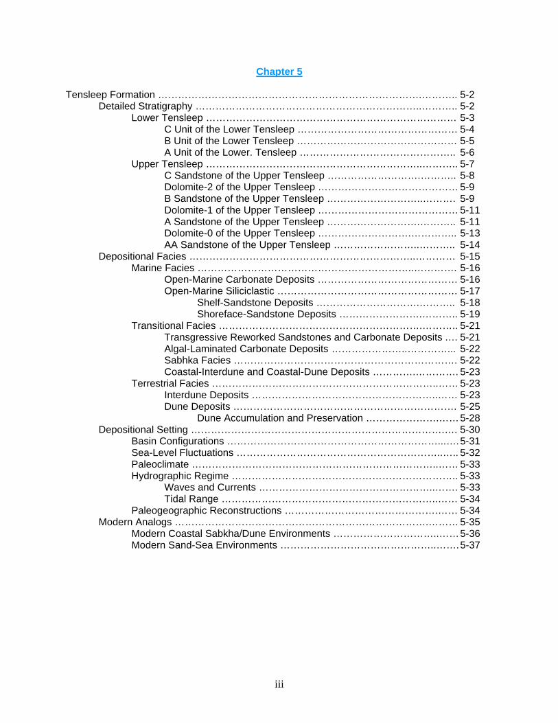
Chapter 5 Tensleep Formation …………………………………………………………………….……….. 5-2
Detailed Stratigraphy …………………………………………………………..……….. 5-2 Lower Tensleep ………………………………………………………………… 5-3
C Unit of the Lower Tensleep ………………………………………… 5-4 B Unit of the Lower Tensleep ………………………………………… 5-5 A Unit of the Lower. Tensleep ……………………………………….. 5-6
Upper Tensleep ………………………………………………………..……….. 5-7 C Sandstone of the Upper Tensleep ……………………….……….. 5-8 Dolomite-2 of the Upper Tensleep …………………………………… 5-9 B Sandstone of the Upper Tensleep ………………………..………. 5-9 Dolomite-1 of the Upper Tensleep …………………………………… 5-11 A Sandstone of the Upper Tensleep ……………………….……….. 5-11 Dolomite-0 of the Upper Tensleep ……………………….………….. 5-13 AA Sandstone of the Upper Tensleep ……………………..……….. 5-14
Depositional Facies …………………………………………………………..………… 5-15 Marine Facies ………………………………………………………..…………. 5-16
Open-Marine Carbonate Deposits …………………………………… 5-16 Open-Marine Siliciclastic ……………………………………………… 5-17
Shelf-Sandstone Deposits ………………………….……….. 5-18 Shoreface-Sandstone Deposits …………………….……….. 5-19
Transitional Facies …………………………………………………….……….. 5-21 Transgressive Reworked Sandstones and Carbonate Deposits .… 5-21 Algal-Laminated Carbonate Deposits …………………..…………... 5-22 Sabhka Facies …………………………………………………………. 5-22 Coastal-Interdune and Coastal-Dune Deposits ………….…………. 5-23
Terrestrial Facies …………………………………………………………..…… 5-23 Interdune Deposits ………………………………………………..…… 5-23 Dune Deposits …………………………………………………………. 5-25
Dune Accumulation and Preservation ………………….…… 5-28 Depositional Setting ………………………………………………………………….…. 5-30
Basin Configurations ………………………………………………………...…. 5-31 Sea-Level Fluctuations ……………………………………………………..….. 5-32 Paleoclimate ………………………………………………………………..…… 5-33 Hydrographic Regime ………………………………………………………….. 5-33
Waves and Currents ……………………………………………..……. 5-33 Tidal Range ………………………………………………………..…… 5-34
Paleogeographic Reconstructions ……………………………………….…… 5-34 Modern Analogs ………………………………………………………………….……… 5-35
Modern Coastal Sabkha/Dune Environments …………………………..…… 5-36 Modern Sand-Sea Environments ………………………………………..……. 5-37
iii

Chapter 6 Phosphoria and Related Formations of the Bighorn Basin …………………..……………… 6-2
Detailed Stratigraphy ……………………………………………………….………..…. 6-2 Grandeur Cycle ………………………………………………….……………… 6-3
Grandeur Member …………………………………………..………… 6-4 Franson Cycle ……………………………………………………………………6-6
Meade Peak-Lower Red Bed Member ………………….…………… 6-7 Lower Franson Member ………………………….…….………………6-9 Middle Franson Member ………………………..………..…………… 6-11 Upper Franson Member ………………………….…….………………6-11
Ervay Cycle ……………………………………………………………………… 6-15 Ervay Member ………………………………………..………………… 6-16
Depositional Facies ……………………………………………………….…………..… 6-21 Peritidal Facies ………………………………………………..………………… 6-22 Lagoon-Salina Facies ………………………………………..………………… 6-23 Restricted-Marine Facies …………………………………….………………… 6-24 Open-Marine Facies …………………………………………..……..………… 6-25 Primary Carbonate Cycles ………………………………..…………………… 6-26
Open-Marine Carbonate Cycles ……………………………………… 6-26 Variations …………………………………….………………… 6-27 Lateral Distribution …………………..………………………… 6-27
Restricted-Marine Cycles ……………………………………………… 6-28 Variations …………………………………….………………… 6-28 Distribution ……………………………………..….…………… 6-29
Peritidal Cycles ………………………………………..……..………… 6-29 Variations ………………………………………….…………… 6-30 Distribution …………………………………..….……………… 6-30
Origin of Phosphoria Cycles ……………………………..…….……………… 6-31 Depositional Setting …………………………………………………….…………….… 6-34
Basin Configurations …………………………………………………………… 6-34 Sea Level …………………………………………………………..………….… 6-36
Paleoclimate …………………………………………..…...…………… 6-37 Hydrographic Regime Waves and Currents ………………………..…..…… 6-37 Tides ……………………………………………………………………..………. 6-38
Depositional Synthesis ………………..…………………….………… 6-39 Modern Analogs ……………………………………………………………….………… 6-42
Upwelling Zones (Phosphorites-Cherty Siltstone Facies …………...……… 6-43 Persian Gulf Trucial Coast Embayment ……………………………………… 6-44 Shark Bay, Australia ……………………………………………………….…… 6-46 Lake MacLeod, Australia ………………………………………………….…… 6-48 Seepage Refluxation and Mixed-Water Dolomitization ……………….……. 6-49
iv

Chapter 7
Studies of Selected Oil Fields …………………………………………………..………………. 7-2 Cottonwood Creek Field Area …………………………………………..……………… 7-2
Introduction ……………………………………………………………..……..… 7-2 Field History ……………………………………………………….………..…… 7-3 Previous Investigations ………………………………………………………… 7-4 Structure ………………………………………………………...……………..… 7-5 Paleostructure and Paleotopography ………………………………………… 7-7 Facies, Facies Trends, and Diagenesis ……………………………………… 7-7
Sage Creek/Big Polecat Field Area ………………………….…………………...…… 7-10 Stratigraphy ……………………………………………………………..….…… 7-12 Structure and Trapping ………………………………………………………… 7-14
Little Buffalo Basin Field Area ………………………………………………………….. 7-16 Tensleep Formation Regional Depositional Setting ……………….……….. 7-17 Stratigraphy …………………………………………………………….……….. 7-17 Structure and Trapping …………………………………………………..……..7-20 Potential for Stratigraphic Traps ………………………………………..…….. 7-21 Phosphoria Formation ……………………………………………………..….. 7-21 Ervay Member ………………………………………………………………….. 7-22 Porosity Trends in the Ervay Member ……………………………………….. 7-22
Oregon Basin Field Area ……………………………………………………………….. 7-23 Tensleep Formation Regional Depositional Setting ………………………… 7-24 Stratigraphy ……………………………………………………………….....….. 7-24 Structure and Trapping …………………………………………………..…….. 7-26 Potential for Stratigraphic Traps ………………………………….…….…….. 7-27 Phosphoria Formation ……………………………………………………...….. 7-28 Ervay Member …………………………………………………………….…….. 7-29 Porosity Trends in the Ervay Member …………………………….………….. 7-29
Chapter 8
Exploration Concepts ……………………………………………………………..………..…… 8-2
Tensleep Formation …………………………………………………………..………… 8-4 General Statement ……………………………………………………………… 8-4 Reservoir Summary ………………………………………………….………… 8-4 Stratigraphic Trap Opportunities …………………….……………...………… 8-5
Truncation Traps ……………………………………….……………… 8-5 Informational Permeability Barriers…………………………………… 8-7
Tar Seals ………………………………………….…………… 8-7 Additional Implications of Stratigraphic Variations …………………. 8-7
Phosphoria Formation ………………………………………………………………..… 8-8 General Statement ………………………………………………..…….……… 8-8 Reservoir Summary ……………………………………………………..……… 8-9 Stratigraphic Trap Opportunities and Mechanisms …………..…………….. 8-12
Summary - Region I ……………………………………………………………..……… 8-15 Summary - Region II ……………………………………………………...……..……… 8-17
Bibliography
Bibliography ……………………………………………………………………….……………… B-2
v

Petrology Supplement (Separate Cover) Rock Guide Supplement - Appendix I (Separate Cover) Cores/Outcrops - Appendices II and III (Separate Cover) Database (Separate Cover) Maps and Cross Sections - Appendix V
vi

TENSLEEP/PHOSPHORIA
LIST OF MAPS AND CROSS SECTIONS 1:96,000 (Region I - 3 Sections) and (Region II – 2 Sections) Scale Maps Tensleep
1. Show and Production - Lower Tensleep Interval 2. Show and Production - Upper Tensleep Interval 3. Interval Isopach - Upper Tensleep Interval 4. Porosity Feet (10% Cutoff) - Upper Tensleep Interval
Phosphoria
1. Show and Production - Ervay Member of the Phosphoria Formation 2. Show and Production - Franson Member of the Phosphoria Formation 3. Combined Interval Isopach - Grandeur Member, Lower Red Bed Interval of the
Phosphoria Formation 4. Interval. Isopach - Ervay Member of the Phosphoria Formation 5. Interval Isopach - Franson Member of the Phosphoria Formation 6. Structure Contour - Top of the Dinwoody Shale
1:250.000 (Region I -1 Section) and (Region II - 1 Section) Scale Maps Tensleep
1. Interval Isopach – Upper Tensleep Interval (Region I) 2. Interval Isopach – Upper Tensleep Interval (Region II) 3. Interval Isopach - Lower Tensleep Interval (Region I) 4. Interval Isopach - Lower Tensleep Interval (Region II) 5. Interval Isopach - Total Tensleep Formation (Region I) 6. Interval Isopach - Total Tensleep Formation (Region II) 7. Lithofacies - Upper Tensleep Facies (Region I) 8. Lithofacies - Lower Tensleep Facies (Region I)
Phosphoria
1. Interval Isopach - Total Phosphoria Formation (Region I) 2. Interval Isopach - Total Phosphoria Formation (Region II) 3. Lithofacies - Ervay Lithofacies (Region I) 4. Lithofacies - Middle-Upper Franson Lithofacies (Region I)
vii
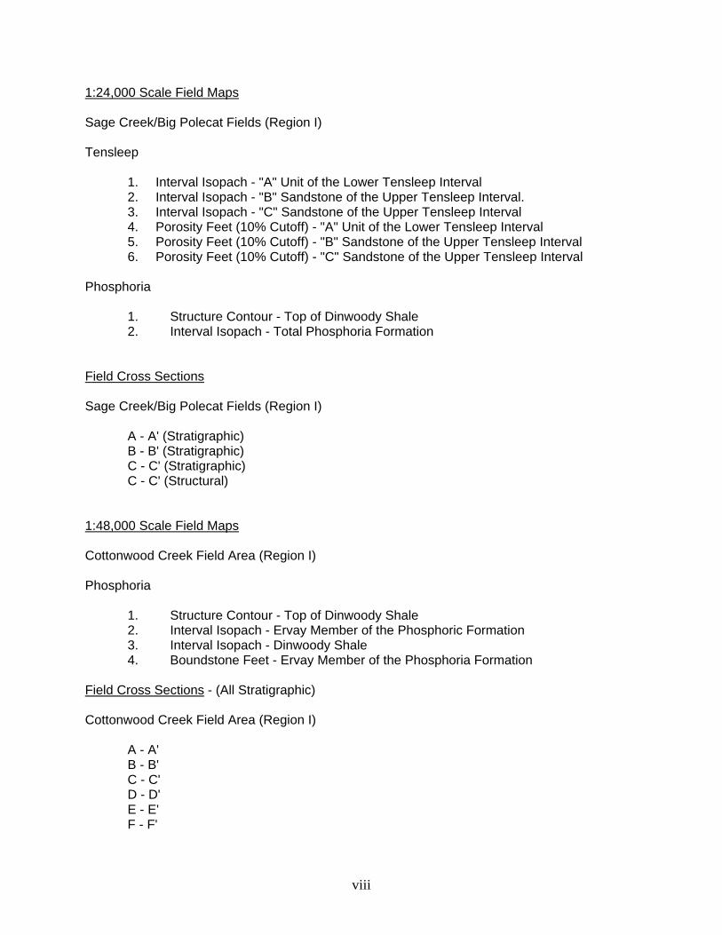
1:24,000 Scale Field Maps Sage Creek/Big Polecat Fields (Region I) Tensleep
1. Interval Isopach - "A" Unit of the Lower Tensleep Interval 2. Interval Isopach - "B" Sandstone of the Upper Tensleep Interval. 3. Interval Isopach - "C" Sandstone of the Upper Tensleep Interval 4. Porosity Feet (10% Cutoff) - "A" Unit of the Lower Tensleep Interval 5. Porosity Feet (10% Cutoff) - "B" Sandstone of the Upper Tensleep Interval 6. Porosity Feet (10% Cutoff) - "C" Sandstone of the Upper Tensleep Interval
Phosphoria
1. Structure Contour - Top of Dinwoody Shale 2. Interval Isopach - Total Phosphoria Formation
Field Cross Sections Sage Creek/Big Polecat Fields (Region I)
A - A' (Stratigraphic) B - B' (Stratigraphic) C - C' (Stratigraphic) C - C' (Structural)
1:48,000 Scale Field Maps Cottonwood Creek Field Area (Region I) Phosphoria
1. Structure Contour - Top of Dinwoody Shale 2. Interval Isopach - Ervay Member of the Phosphoric Formation 3. Interval Isopach - Dinwoody Shale 4. Boundstone Feet - Ervay Member of the Phosphoria Formation
Field Cross Sections - (All Stratigraphic) Cottonwood Creek Field Area (Region I)
A - A' B - B' C - C' D - D' E - E' F - F'
viii

1:12,000 Scale Field Maps Little Buffalo Basin (Region II)
Tensleep
1. Interval Isopach - "A" Unit of the Lower Tensleep Interval 2. Interval Isopach - "B" Sandstone of the Lower Tensleep Interval 3. Interval Isopach - "C" Sandstone of the Lower Tensleep Interval 4. Interval Isopach - "A" Unit of the Upper Tensleep Interval 5. Interval Isopach - "B" Sandstone of the Upper Tensleep Interval 6. Interval Isopach - "C" Sandstone of the Upper Tensleep Interval 7. Porosity Feet - "A" Unit of the Lower Tensleep Interval 8. Porosity Feet - "B" Sandstone of the Lower Tensleep Interval 9. Porosity Feet - "C" Sandstone of the Lower Tensleep Interval 10. Porosity Feet - "A" Unit of the tipper Tensleep Interval 11. Porosity Feet - "B" Sandstone of the Upper Tensleep Interval 12. Porosity Feet - "C" Sandstone of the Upper Tensleep Interval
Phosphoria
1. Structure Contour - Top of Ervay Member of the Phosphoria Formation 2. Interval Isopach - Phosphoria Formation 3. Interval Isopach - Ervay Member of the Phosphoria Formation 4. Combined Interval Isopach - Grandeur Member, Lower Red Bed Interval of the
Phosphoria Member 5. Porosity Feet (10% Cutoff) - Upper Ervay Member of the Phosphoria Formation
Field Cross Sections Little Buffalo Basin Field (Region II)
A - A' (Stratigraphic) A - A' (Structural) B - B' (Stratigraphic) C - C' (Stratigraphic) C - C' (Structural) D - D' (Stratigraphic)
ix
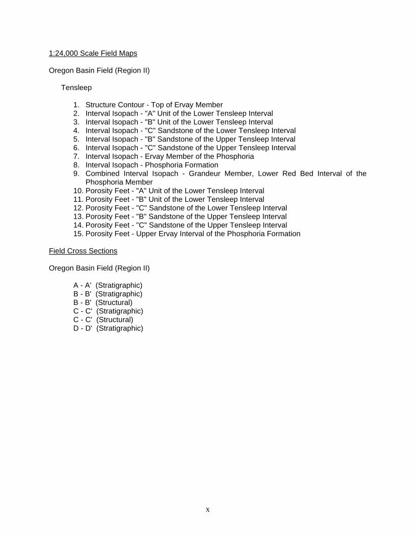
1:24,000 Scale Field Maps Oregon Basin Field (Region II)
Tensleep
1. Structure Contour - Top of Ervay Member 2. Interval Isopach - "A" Unit of the Lower Tensleep Interval 3. Interval Isopach - "B" Unit of the Lower Tensleep Interval 4. Interval Isopach - "C" Sandstone of the Lower Tensleep Interval 5. Interval Isopach - "B" Sandstone of the Upper Tensleep Interval 6. Interval Isopach - "C" Sandstone of the Upper Tensleep Interval 7. Interval Isopach - Ervay Member of the Phosphoria 8. Interval Isopach - Phosphoria Formation 9. Combined Interval Isopach - Grandeur Member, Lower Red Bed Interval of the
Phosphoria Member 10. Porosity Feet - "A" Unit of the Lower Tensleep Interval 11. Porosity Feet - "B" Unit of the Lower Tensleep Interval 12. Porosity Feet - "C" Sandstone of the Lower Tensleep Interval 13. Porosity Feet - "B" Sandstone of the Upper Tensleep Interval 14. Porosity Feet - "C" Sandstone of the Upper Tensleep Interval 15. Porosity Feet - Upper Ervay Interval of the Phosphoria Formation
Field Cross Sections Oregon Basin Field (Region II)
A - A' (Stratigraphic) B - B' (Stratigraphic) B - B' (Structural) C - C' (Stratigraphic) C - C' (Structural) D - D' (Stratigraphic)
x

Regional Cross Sections - (Region I) and (Region II)
Tensleep
A - A' B - B' C - C' D - D' E - E' F - F' G - G' H - H’
Phosphoria
A - A' B - B' C - C' D - D' E - E' F - F' G - G' H - H' I - I' J-J’ A - A" (Stratigraphic Variations) B - B" (Stratigraphic Variations) Bighorn Basin/Powder River Basin
xi

Selected Figuresfrom the Study
Tensleep/Phosphoria Study
Bighorn Basinof the

Return to Text
Figure 3.7. Horseshoe Shale and Ranchester Limestone Members of the Amsden Formation at Tensleep Canyon. The resistant beds at the top of the photo are Lower Tensleep. The lower part of the Horseshoe exposure includes layers of ferruginous pisolites, possibly indicating lateritic soil development. Upper part contains thin layers of caliche, which are carbonate soil horizons. The caliche beds of the Ranchester Limestone represent multiple exposure cycles.

Return to Text
Figure 6.46. Block diagram illustrating the evolution of the complete stratigraphic relationships at the Tensleep-Phosphoria contact. (A) During the Late Wolfcampian sea-level drop erosional topography developed upon the denuded Tensleep sandstone. (B) With a rise in sea-level during the Early Leonardian, the valleys were encroached upon by the transgressing seas that flooded the Wyoming Shelf. The carbonates and evaporites of the Grandeur were deposited in the estuaries and restricted embayments that developed in the paleotopographic lows. (C) Another sea-level lowstand exposed the Tensleep and Grandeur to renewed erosion. Aggradational fluvial sandstones and conglomerates accumulated as base-level stabilized. Their deposition was quickly outpaced by the rate of sea-level rise and all but the highest paleotopography was subsequently blanketed by the estuarine and tidal flat sediments of the Lower Red Bed Member. As the transgression waned, and clastic influx diminished, a carbonate ramp developed upon which the peritidal to restricted marine dolomites of the Lower Franson were deposited.

Figure 5.61. Subsurface core example of coastal deposits that accumulated during a period of rising sea level. Sabkha deposits (depths 721-726 feet) are overlain by interdune and dune deposits (depths 711-721 feet). Capping the dune deposits are burrowed, transgressive, reworked sandstones (depths 708-711 feet). The upper parts of the dunes have dewatering structures. Location: Coronado, Letha Brown Govt. #C-1 NW NE Sec. 6, T. 51 N., R. 101 W., Park County, Wyoming.
Return to Text

Figure 5.77. Landsat photograph of the Rub al Khali desert in an area where sand supply is less abundant, resulting in widely spaced linear dunes. Some Tensleep sand dunes probably looked very similar to these.
Return to Text

Example of a Core Description

Example of a Measured Outcrop Section