tc smart maps - a 10 years journey with fme
TRANSCRIPT

TC SMART MAPSA 10 Years Journey with FME
Lawrence ChongTransport Canada

10 Years Ago…q Google Earth was released.q TC SMART MAPS was born.q Developed entirely using The Magic of FME since day one, implementation can’t be any easier with the progressively improved and powerful KML Transformers and Writers.

Today…q TC SMART MAPS contains over 300GB of vector KML data.q More than 100 unique map layers.q A one-stop geospatial portal enabling Policy Makers, Regulators, Inspectors and Enforcement Officers alike to collaborate, work smarter and make better business decisions.

Why GE Mashup?q Simple: It’s simple, intuitive and user friendly interface requires minimum learning curve.q Fast: Large datasets are optimized using “Clipping, Grouping, Regions/LOD, Data Sampling and NetworkLink” to improve display performance thus reducing valuable downtime and resource.q Cost Effective: Workbenches which were once built can be reused for subsequent data updates, saving time and money.q Most of all, GE is Free.

Showcase
3D Civil Aviation Visualization ToolObstacle Limitation Surface (OLS) /Airport Zoning Regulation (AZR)

Obstacle Limitation Surface
Showcase:3D Civil Aviation ToolObstacle Limitation Surface / Airport Zoning Regulation
With minimum parameters, FME handles all the magic of complex calculations for constructing 3D models and generate contours, eliminating the need to acquire expensive third-party software (e.g. Obstacle Surface Planner from Simtra) for generating Obstacle Limitation Surfaces, enabling inspectors to regulate structure’s height within AZR.
Vancouver International Airport OLS/AZR
ObstacleLimitationSurface

Here’s a workspace to solve that problem.
INPUT:- AirportReferencePoint- RunwayC/L- ApproachType- CriticalAircraft
OUTPUTOLS/AZRSURFACES:- Runway- RunwayStrip- Outer- Transitional- Approach
TP3125th Ed.SPEC.forApproachTypeandCriticalAircraft- OuterSurfaceRadius- InnerEdgeLength- ThresholdDistance- ApproachLengths- ApproachSlopes- DivergenceAngle- TransitionSlopes

Other Applications…
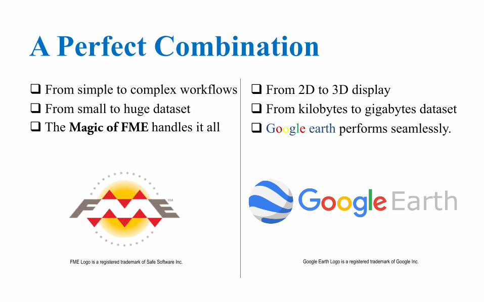
A Perfect Combinationq From simple to complex workflowsq From small to huge datasetq The Magic of FME handles it all
q From 2D to 3D displayq From kilobytes to gigabytes datasetq Google earth performs seamlessly.
FME Logo is a registered trademark of Safe Software Inc. Google Earth Logo is a registered trademark of Google Inc.
