tasmanian wilderness wo rld heit ag a( ) · elus ive bl uf prec ip tous blu f k ameruk mo rain e...
TRANSCRIPT
Catamaran River
Catamaran River
Heathers Creek
Hardl
uck C
reek
Catamaran River
Catamaran River
Summers Creek
Many Falls Creek
McKays Creek
McKays Creek
Cockle Creek
Urquhar
t Creek
Urquhart CreekLim
eston
e Cree
k
Salisbury River
South Cape Rivulet
SouthCa pe Rivulet
South Cape Rivulet
Mystery CreekMoonligh
t Cree
k
Sandstone Creek
Picton
River
Chapman Creek
Donnellys Creek
Milford Creek
Blackhole Creek
Lithogr
aph Cree
kDamper Creek
Driscolls Creek
Greens Creek
Lune River
Teat reeCr eek
Surpr
iseRiv
ulet
Surpr
iseRiv
ulet
Tylers
Cree
k
Malani Creek
S outh
Cape
Road
1000
800
10001000
400
1200
1000
400
200
200
800
1000
1000
200
1000
1000
1000
200
800 1000
200
600
1000
1000
200
200
200
800
800
1000
800
1000
800
600
200
400
400
800
600
200
400
1000
200
1000600
200
200
400
South
port L
agoo
n
New
R iv e
r La g
o on
Oval Lake
Blacks
wan L
agoo
n
PrionBeach
PrionBay
ElusiveBluff
PrecipitousBluff
KamerukaMoraine
BewsherSaddle
MountVictoriaCross
MountWylly
LeaningTea TreeSaddle
PandaniKnob
PindarsPeak
LakeMountain
KnifeMountain
KingBilly
Saddle
MaxwellRidge
MooresGarden
MooresBridge
Mount LaPerouse
TheCockscomb
PointCecil Rocky
BoatInlet
WierahHill
PointVivian
RockyPlains Bay
OsmiridiumBeach
RockyPlains
PrettysInlet
PrettysPoint
SurpriseBay
ShoemakerPoint
ShoemakerBay
GraniteBeach
FlutedCliffs
SouthCape
CoachsCove Soldier
Bluff
BlackholeBlackhole
Plain
FlatRockPlain
SouthCape
Range
BlowholeValleyCockleCreekPlains Moulders
Hill
LittleTrumpeter
Bay
ThreeTreeReef
SecondLookout
Point
MouldyHole
PebblyBight
FirstLookout
Point
PeachsPoint Fishers
PointPancake
Bay
PlanterBeach
AdamsPoint
FordsGreen
SayersBeach
McDougallsHill Motts
Beach
StonyBight
EvorallsPoint
WaterholeCove
ChinamansCorner Denmark
Reef
NeedlePoint
LancastersBeach
RockyBay
FinnsBeach
GillamsBeach
RyansPoint Maid Of
Erin Reef QuietCoveSullivan
Point
RechercheBay
MazeysRocks
PigstiesBay
BennettsPoint
BowdensMistakeLittle
LagoonBeach
FoxyBreak Blind
Reef
ElizaPoint
BlackReef
SouthBreak
Coal PitBight
SaltwaterInlet
FrogFlat
ElliottBeachDeephole
Bay
SouthportNarrows
JagersBay
GravesPoint
Major Honners BayIda Bay
BigLagoonBeach
MountLeillateah
Hill One
Hill TwoMoonlight
Ridge
TableTop
MarbleHill
AgnetesGarden
TheHippo
LittleHippo
MedialMoraine
MoonlightFlats
LuneSugarloaf
TomsBottom
South EastCape Reef
ThreeHillocks
SouthEast Bay
HoneySmith
Hill
WhaleHead
BarbersCorner
BigTrumpeter
Bay
CoalHill
CoalBluff
SouthCape Bay
BareHill
Southport
Catamaran
MossGlen
MysteryCreekCave
Leprena
SouthernOcean
Ramsgate
HillThree
LuneCirque
LuneGorge
HillFour
La PerouseValley
D'EntrecasteauxCirque
CatamaranCirque
GlacialShelf
FlutedRange
IronboundRange
465000
465000
470000
470000
475000
475000
480000
480000
485000
485000
490000
490000
495000
495000
5165
000
5170
000
5175
000
5180
000
5185
000
1 3 425
6 7
89
1110 12
13
14
15
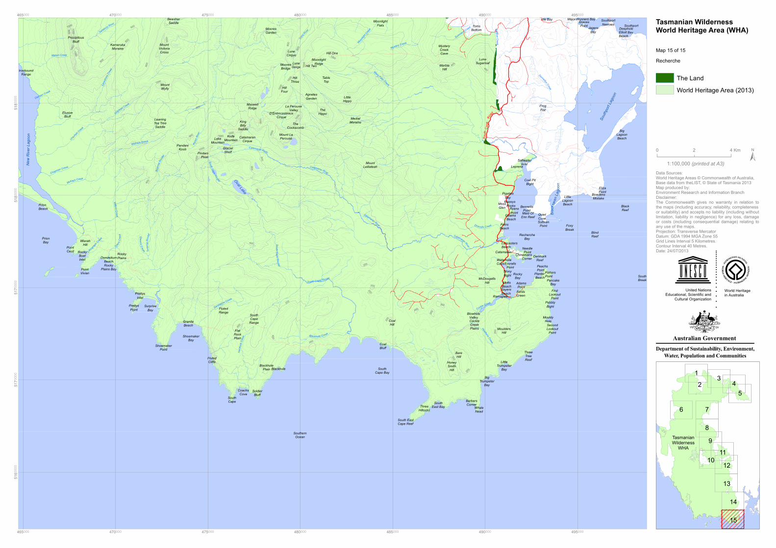
Map 15 of 15
1:100,000
0 42 Km
World Heritagein Australia
United NationsEducational, Scientific and
Cultural Organization
(printed at A3)
TasmanianWilderness
WHA
Data Sources:World Heritage Areas © Commonwealth of Australia,Base data from theLIST, © State of Tasmania 2013Map produced by:Environment Research and Information BranchDisclaimer:The Commonwealth gives no warranty in relation tothe maps (including accuracy, reliability, completenessor suitability) and accepts no liability (including withoutlimitation, liability in negligence) for any loss, damageor costs (including consequential damage) relating toany use of the maps.Projection: Transverse MercatorDatum: GDA 1994 MGA Zone 55Grid Lines Interval 5 Kilometres.Contour Interval 40 Metres.Date: 24/07/2013
The LandWorld Heritage Area (2013)
Recherche
Tasmanian WildernessWorld Heritage Area (WHA)