si’mn he smiymiyu’lmkhw earth knowledge tool exchange network opportunities ashley mcfarland...
TRANSCRIPT
si’mn he smiymiyu’lmkhwEarth Knowledge
Tool
Exchange Network
OpportunitiesAshley McFarland
Coeur d’Alene Tribe, Idaho

Overview
• Coeur d’Alene Tribe located in Plummer, Idaho
• Six employees in GIS staff
• Have worked with Exchange Network since 2003
2
Objectives
• Describe each grant awarded
• Explain the work done on each grant
• Illustrate the deliverables of each grant
• Show how GIS can be utilized
• Explore suggestions from the Coeur
d’Alene Tribe
3
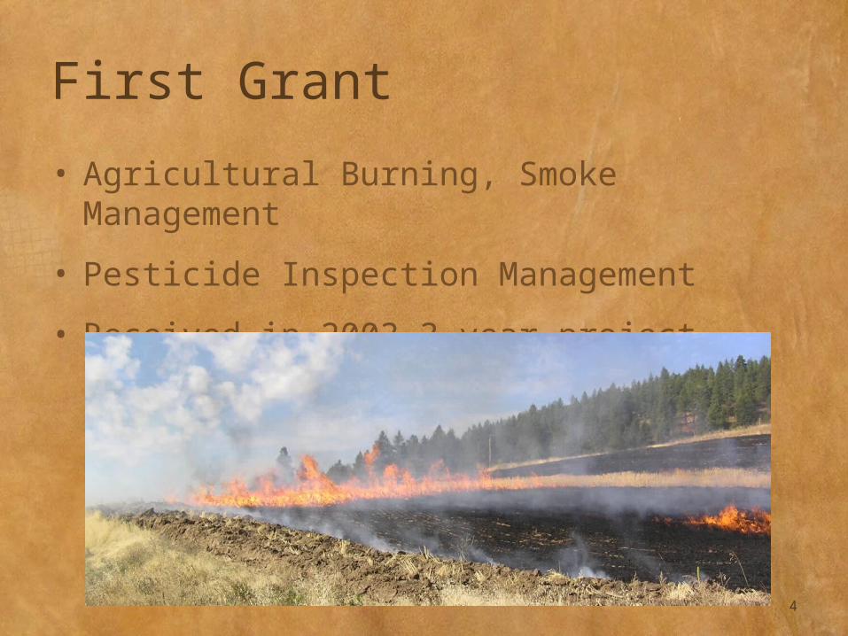
First Grant
• Agricultural Burning, Smoke Management
• Pesticide Inspection Management
• Received in 2003—3 year project
4
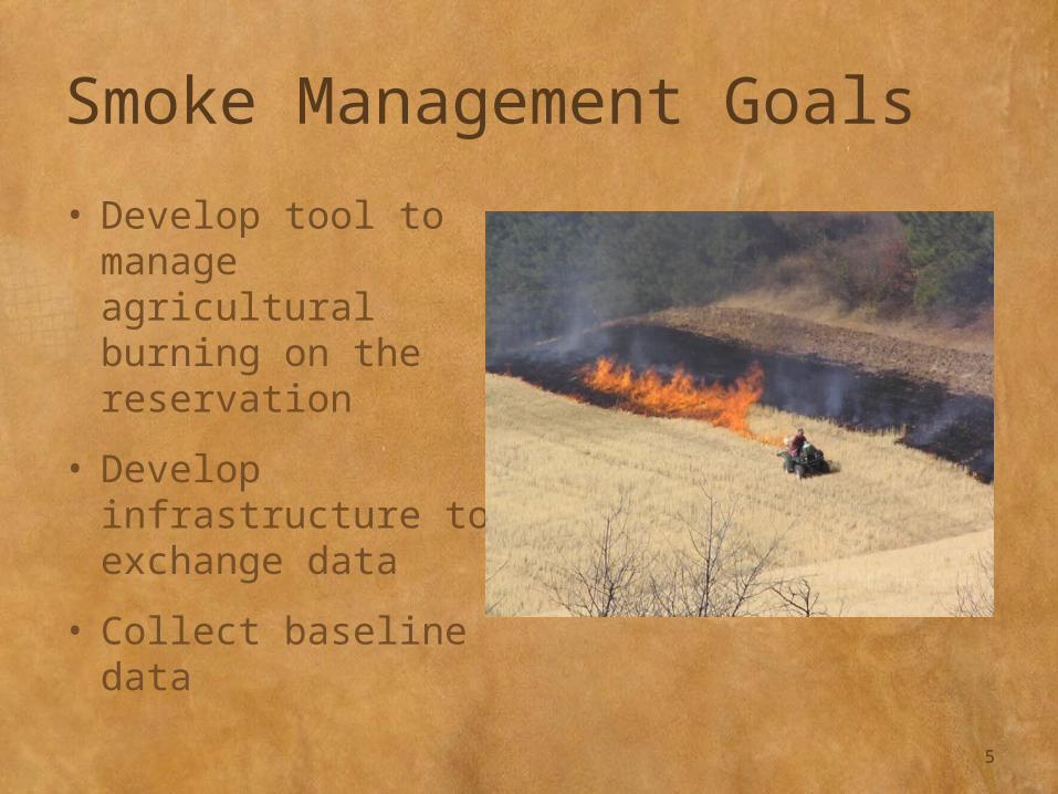
Smoke Management Goals
• Develop tool to manage agricultural burning on the reservation
• Develop infrastructure to exchange data
• Collect baseline data
5
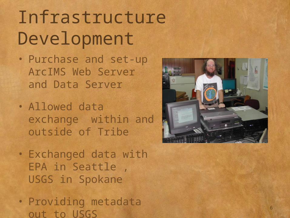
Infrastructure Development
• Purchase and set-up ArcIMS Web Server and Data Server
• Allowed data exchange within and outside of Tribe
• Exchanged data with EPA in Seattle , USGS in Spokane
• Providing metadata out to USGS Geospatial One Stop
6
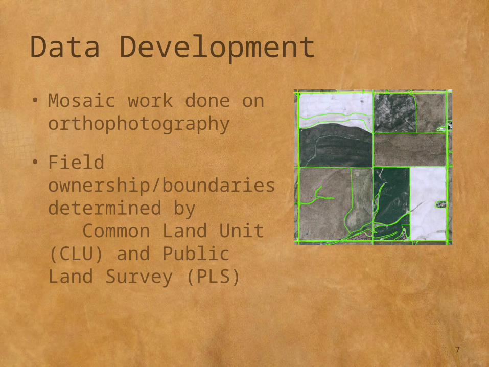
Data Development
• Mosaic work done on orthophotography
• Field ownership/boundaries determined by Common Land Unit (CLU) and Public Land Survey (PLS)
7
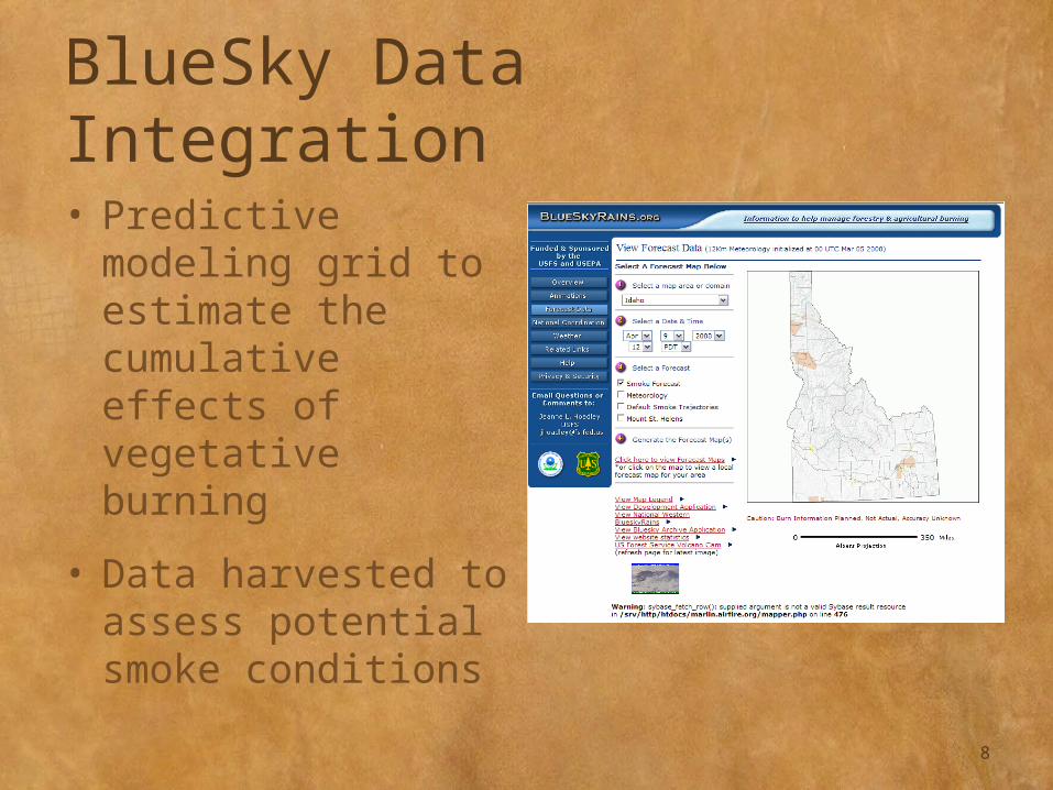
BlueSky Data Integration
• Predictive modeling grid to estimate the cumulative effects of vegetative burning
• Data harvested to assess potential smoke conditions
8

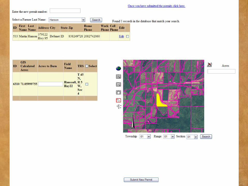
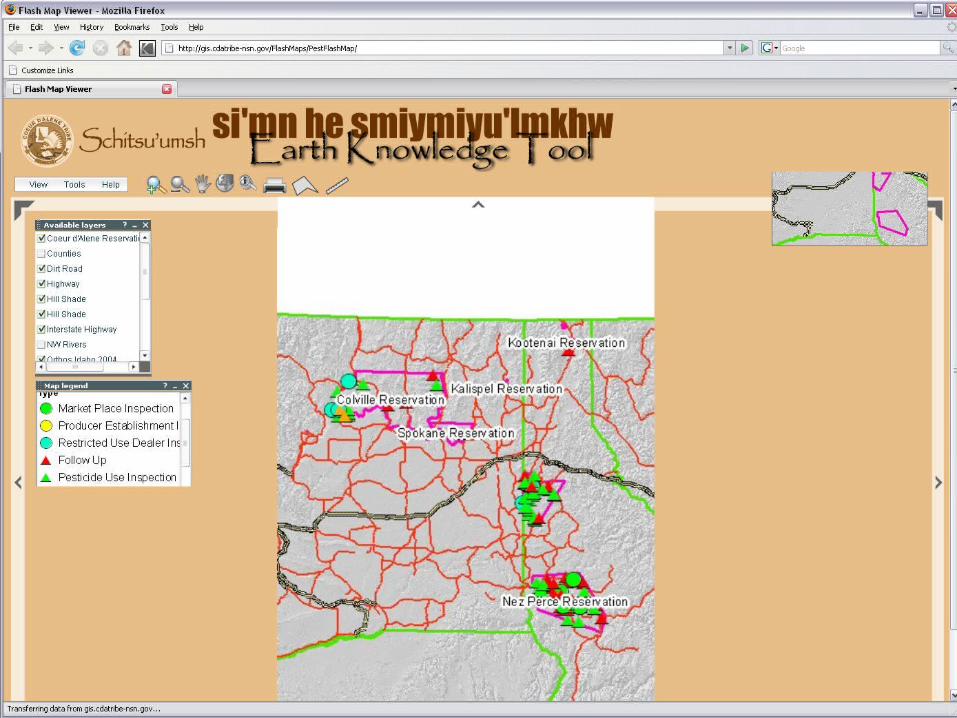
Smoke Tool Development
• Web-based tracking mechanism– Burners– Permits– Fields
• Identify fields appropriate to burn– Prediction of smoke
movement– Available, permitted fields
9
10
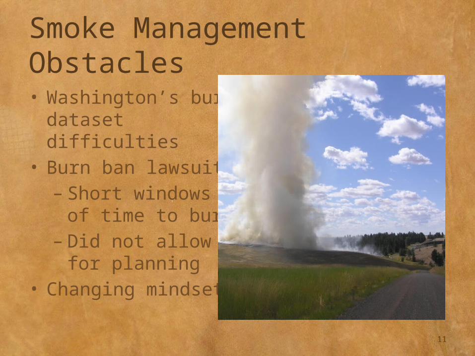
Smoke Management Obstacles• Washington’s burn
dataset difficulties• Burn ban lawsuit– Short windows of
time to burn– Did not allow for
planning• Changing mindset
11
Pesticide Project Goals
• Assist tribal inspector in tracking pesticide inspections
• Develop database
• Conform to “pesticide standard”
• Allow EPA and other tribes to see inspection data
12
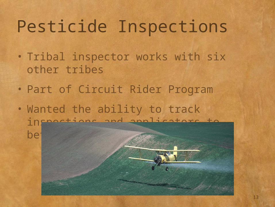
Pesticide Inspections
• Tribal inspector works with six other tribes
• Part of Circuit Rider Program
• Wanted the ability to track inspections and applicators to better plan future inspections
13
Database Development
• Conform to proposed standards
• Develop queriable database
• Create forms for field entry
14
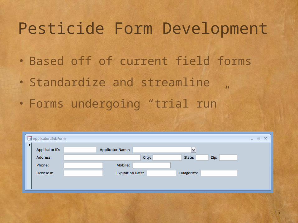
Pesticide Form Development
• Based off of current field forms
• Standardize and streamline
• Forms undergoing “trial run”
15
Pesticide Database
• Tracks– Use inspections– Follow-up/
complaint inspections
• Forms– Applicators– Employers– Pesticides– Samples– Aggrieved party
16
Pesticide Database Obstacles• Proposed standard
never adopted
• Organizational strategy
• Flexibility
17
Pesticide Project Deliverables• Functional, searchable database
• Accessible to government and tribal
institutions
• Broader use of forms
18
19

Second Grant
• Facility Registration System (FRS) Updates
• One year project awarded in 2007
20

Facility Registration Goals
• Registered sites– Update contact information– Update latitude/longitude positioning – Strengthen overall data integrity within
the FRS
• Other– Purchase GPS unit– Survey Reservation to ensure facilities
properly registered
21

Need for Improvement
• Over 90 registered facilities throughout Reservation
• Only 1/3 of sites had spatial data—often incorrect
22

Need for Improvement
Plummer Forest Products
23

FRS Prep-Work
• Took inventory of Reservation sites within FRS
• Made contact information updates where possible
• Researched and purchased GPS unit
24

FRS Update Work
• Purchased GPS unit
• Surveyed facilities
• Reported facility updates
• Produced semi-annual reports
25
Facility Registration Deliverables• Updated tribal records
• Improved data integrity for the EPA
• Strengthened data sharing relationship between the EPA and Tribe
• Found areas to improve
– Data integrity and currentness
– Facility entries
26
Applicability to GIS
• Allows spatial traceability of environmental regulation
• Useful in web-map interfaces such as EnviroMapper
• Assists in environmental management planning
• Data availability at Geospatial One Stop
27
Exchange Network Suggestions• Modify data framework
• Service center vs. distributed data
• Allow harvestable data to be posted
28
Questions?
Ashley McFarland208-686-2064amcfarland@cdatribe-
nsn.gov
29