signal four analytics - florida department of transportation · signal four analytics ... based...
TRANSCRIPT
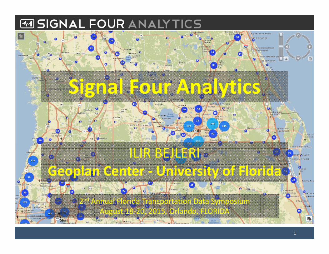
Signal Four Analytics
ILIR BEJLERI Geoplan Center ‐ University of Florida
2nd Annual Florida Transportation Data Symposium August 18‐20, 2015, Orlando, FLORIDA
1
Overview• Signal Four Analytics is a statewide interactive, web‐based geospatial crash analytical tool
• Grant funded by the State through Traffic Records Coordinating Committee (TRCC)
• Hosted at Geoplan Center, University of Florida
• Main site: http://s4.geoplan.ufl.edu/
2

Target Audience• Florida government agencies in:
– Law Enforcement,– Traffic Engineering, – Transportation Planning, – School Transportation, – Injury Prevention, – Universities– Any organization involved in traffic safety
• Contractors/Consultants contracted by Florida public agencies
• Access is free of charge3

S4 Analytics Focus• Accessibility
– Makes it easy to get to the data, no special software required
• Timeliness– Crash data is up to date as reported by law enforcement to DHSMV
• Utilization– Web‐based simple to use intuitive tools, minimal or no training required
• Geospatial Analytics– Various functions to look at the data spatially
4

Database• Over 4 million crash records (2006‐present) provided by
DHSMV, updated daily
• Over 4 million citations ‐FHP only (2011 to present), updated daily
• Florida Unified GIS Streets basemap, 2015, Q1, updated quarterly
• Measured traffic volumes on local roads for selected counties
5
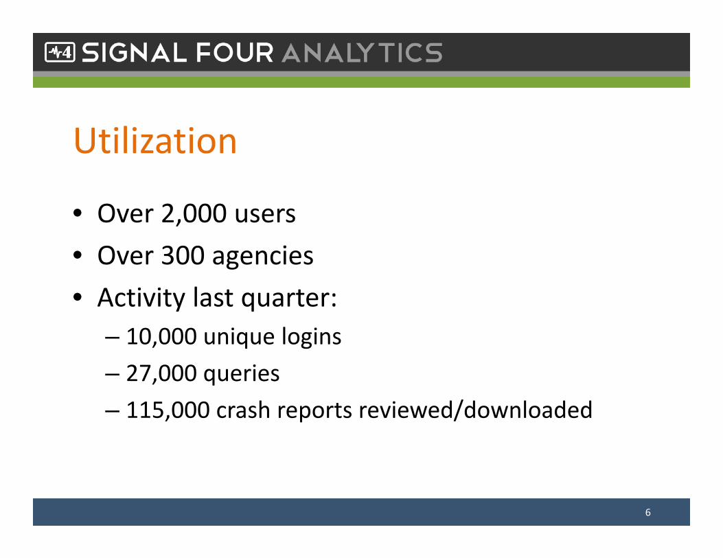
Utilization
• Over 2,000 users• Over 300 agencies• Activity last quarter:
– 10,000 unique logins– 27,000 queries– 115,000 crash reports reviewed/downloaded
6
Live Demonstration
7

Road Ahead
• Complete citations query interface• Expand Network Analysis• Enhanced analytics and usability• Inclusion traffic signals, red light running camera locations, schools etc.
8

S4 GeoLocation

Problem
• Agencies map traffic events, e.g. crashes, after crash reports are completed
• This is because automatic mapping of text‐based location works only partially
• Additional efforts, frequently multiplicated• Quality not guaranteed
10
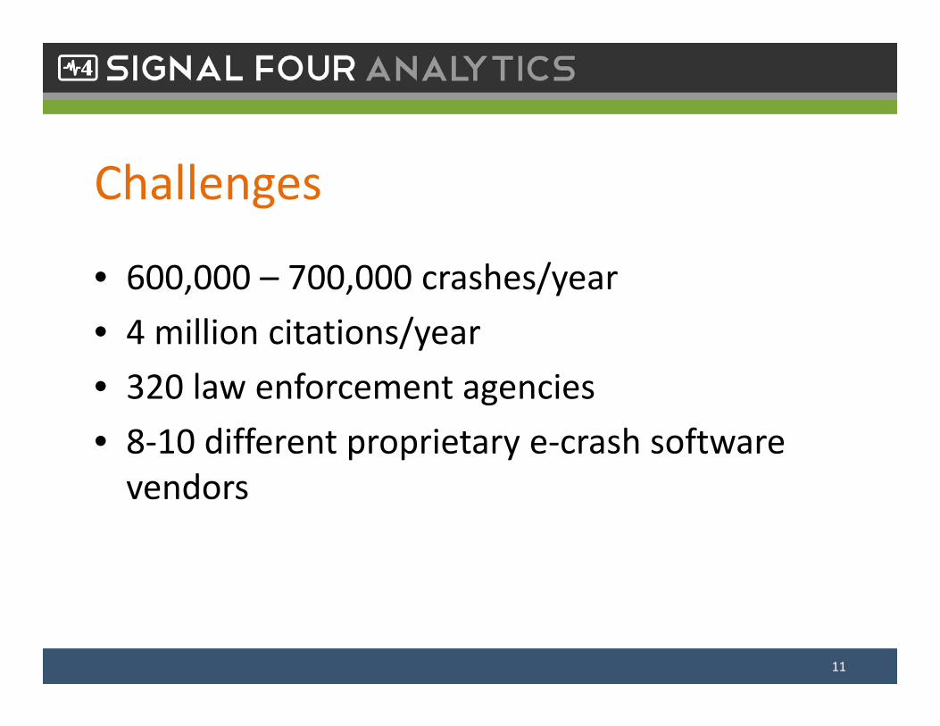
Challenges
• 600,000 – 700,000 crashes/year• 4 million citations/year• 320 law enforcement agencies• 8‐10 different proprietary e‐crash software vendors
11

SOLUTIONS ?
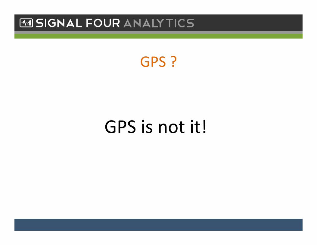
GPS ?
GPS is not it!
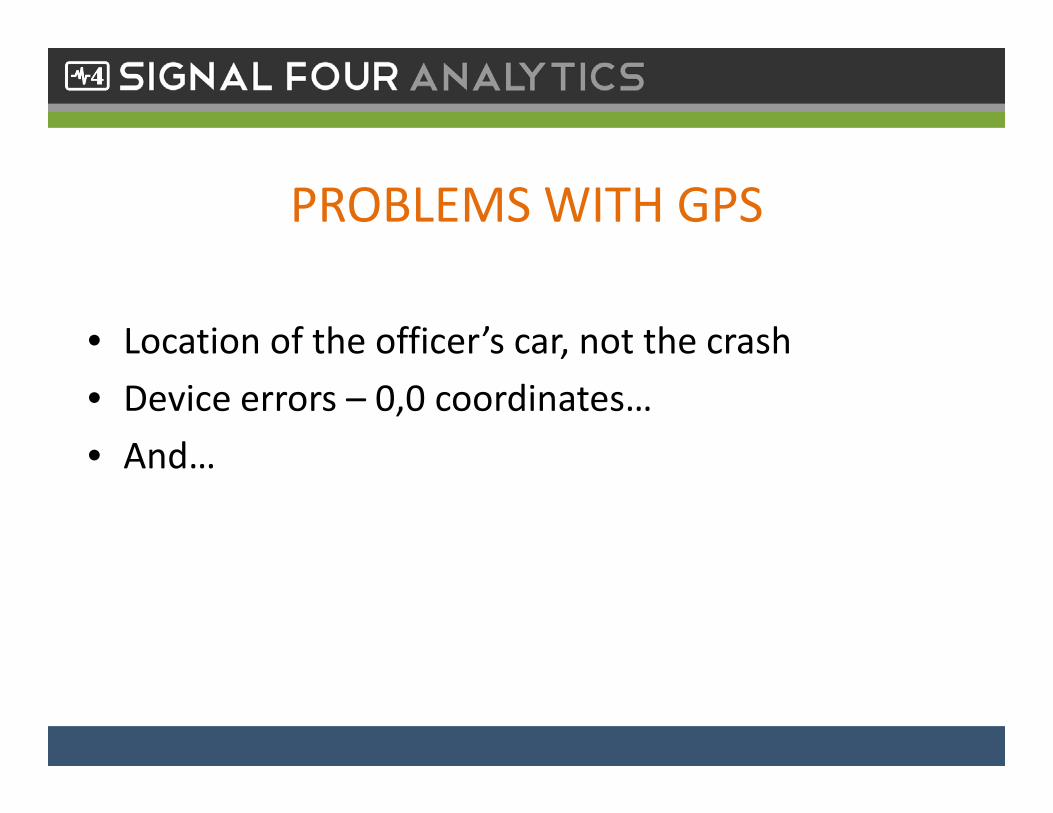
PROBLEMS WITH GPS
• Location of the officer’s car, not the crash• Device errors – 0,0 coordinates…• And…
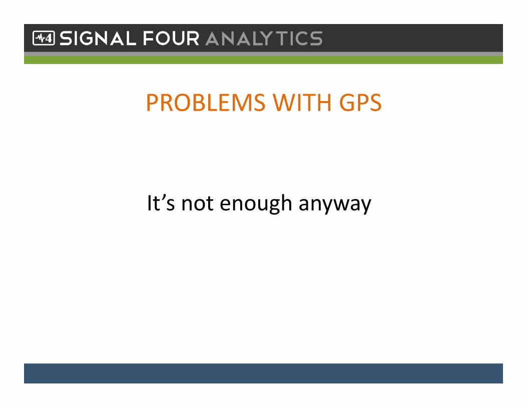
PROBLEMS WITH GPS
It’s not enough anyway

WHAT IS GEOLOCATION ?
Crash x,y
Network point x,y
Distance Int
Seg IDInt ID Other Int ID
Distance Other Int
Physical StreetCrash
GIS centerlines
Street Layout Required Information
GEOLOCATION INFORMATION
• First harmful event x,y• Corresponding x,y on the GIS network• Street, intersection IDs• Distances• …..

SOLUTIONS ?
• Geolocation should be included in the crash report• Give officers proper tools to make it:
Easier, Faster, More Accurate• It should be a win‐win situation both for officers and for crash data users
S4 Geolocation Tool
• A map‐based tool intended to collect accurate location of roadway incidents – crashes, citations, EMS events
• To be used by law enforcement officers in the field
• Available also for post‐report geocoding when necessary
19

Objectives
• Provides timely and accurate geolocation data• Uses a unified and consistent geolocation mapping method statewide
• Uses a statewide reference map – the Florida unified GIS streets basemap, for all roads
• Map updated quarterly
20

Live Demonstration
21
Benefits• Simple, fast, minimal training required• Increases multifold location accuracy – better data• It saves the state time and money• The data will show up 100% mapped in S4 Analytics and DOT systems
• Makes data much more timely for utilization• Win‐win solution for officers and users of crash data
Status & Road Ahead
• Implemented by TraCS and Appriss so far and used in limited pilot capacity
• Expected to open up to all TraCS users early this fall
• Expected to be implemented by FHP and Lexus/Nexus agencies next
• Other vendors to follow
23
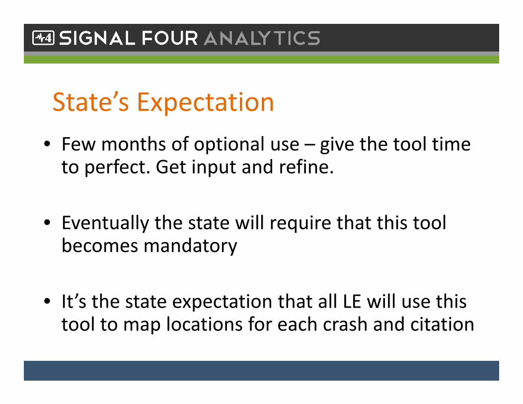
State’s Expectation • Few months of optional use – give the tool time to perfect. Get input and refine.
• Eventually the state will require that this tool becomes mandatory
• It’s the state expectation that all LE will use this tool to map locations for each crash and citation
