science final unit earth’s crust and resources
TRANSCRIPT
Science Final Unit
Earth’s Crust And Resources

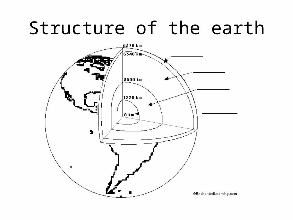
Structure of the earth
Structure of the earth
Definitions:
Crust - the rigid, rocky outer surface of the Earth, composed mostly of basalt and granite. The crust is thinner under the oceans.

mantle - a rocky layer located under the crust - it is composed of silicon, oxygen, magnesium, iron, aluminum, and calcium.
-Convection (heat) currents carry heat from the hot inner mantle to the cooler outer mantle.
outer core - the molten iron-nickel layer that surrounds the inner core.
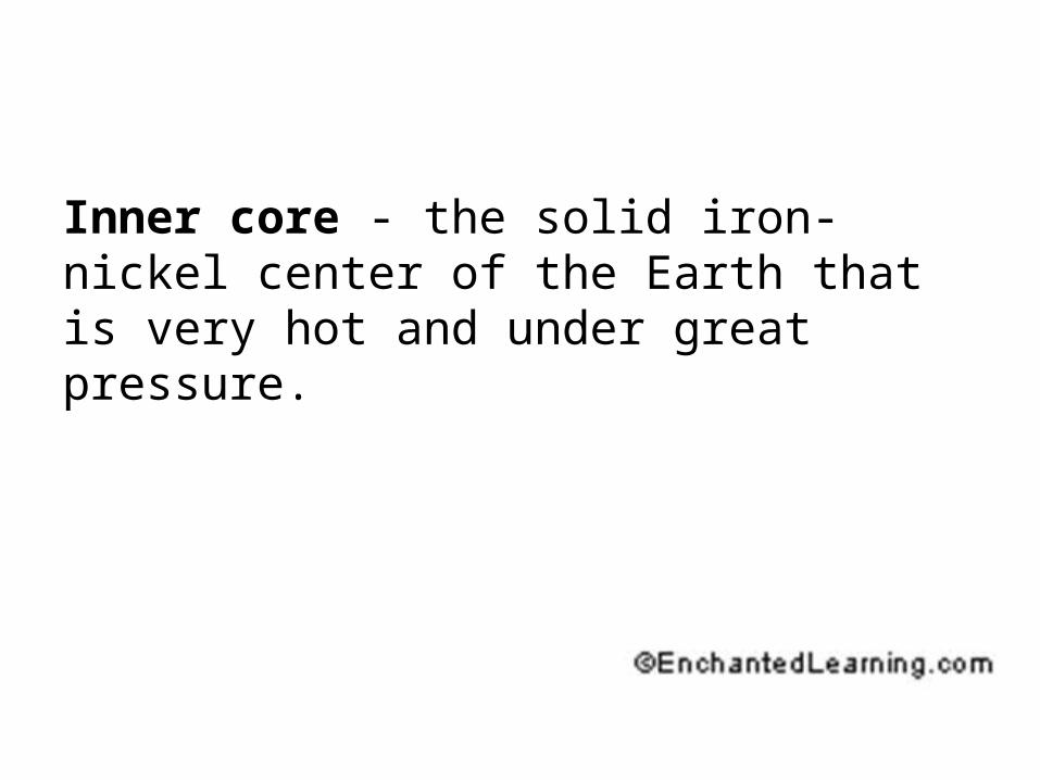
Inner core - the solid iron-nickel center of the Earth that is very hot and under great pressure.
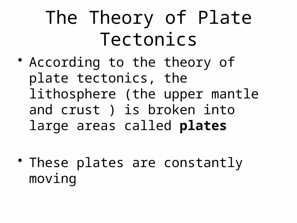
The Theory of Plate Tectonics
• According to the theory of plate tectonics, the lithosphere (the upper mantle and crust ) is broken into large areas called plates
• These plates are constantly moving
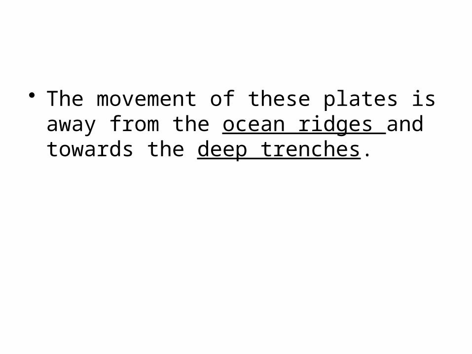
• The movement of these plates is away from the ocean ridges and towards the deep trenches.

Ridge

Trench

Earthquakes and Volcanoes tend to be more common where the plates meet.

What happens when plates meet?
• The edges where plates meet are called boundaries
• These boundaries look different depending on whether plates are moving away from each other, into each other or alongside each other.
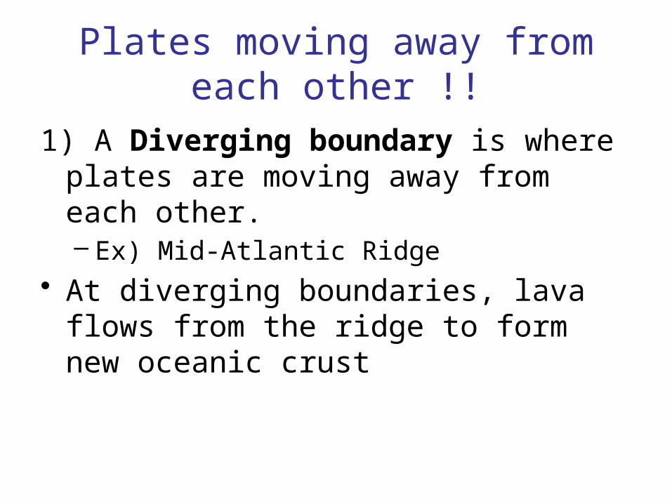
Plates moving away from each other !!
1) A Diverging boundary is where plates are moving away from each other.– Ex) Mid-Atlantic Ridge
• At diverging boundaries, lava flows from the ridge to form new oceanic crust
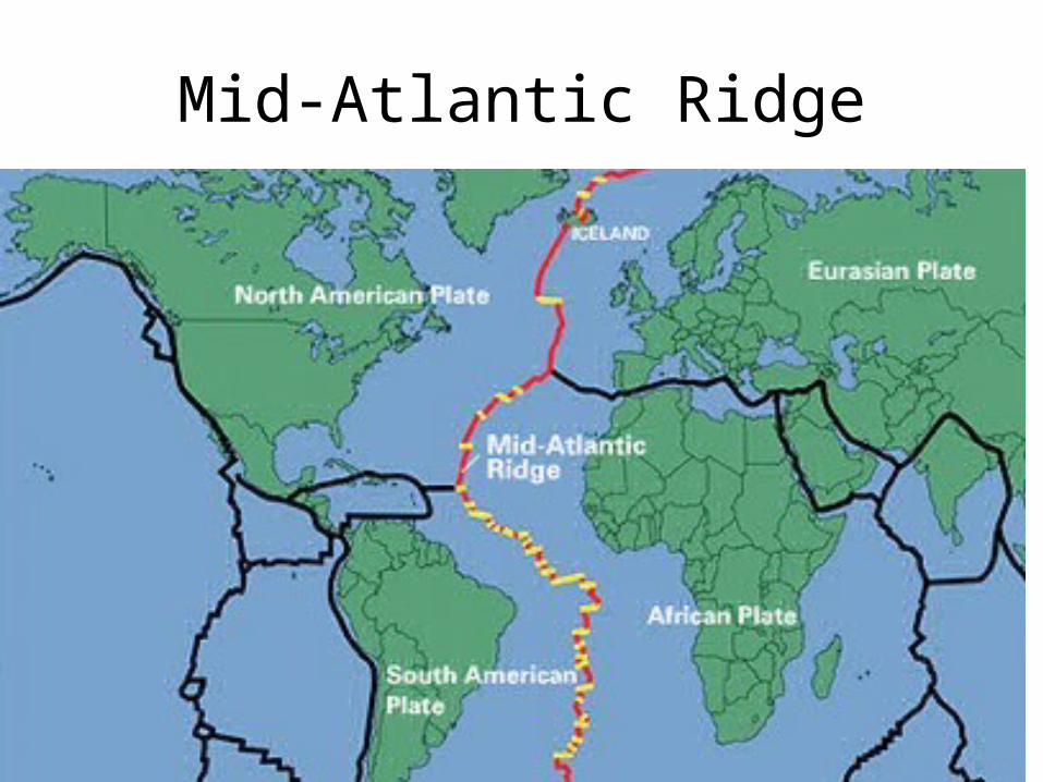
Mid-Atlantic Ridge
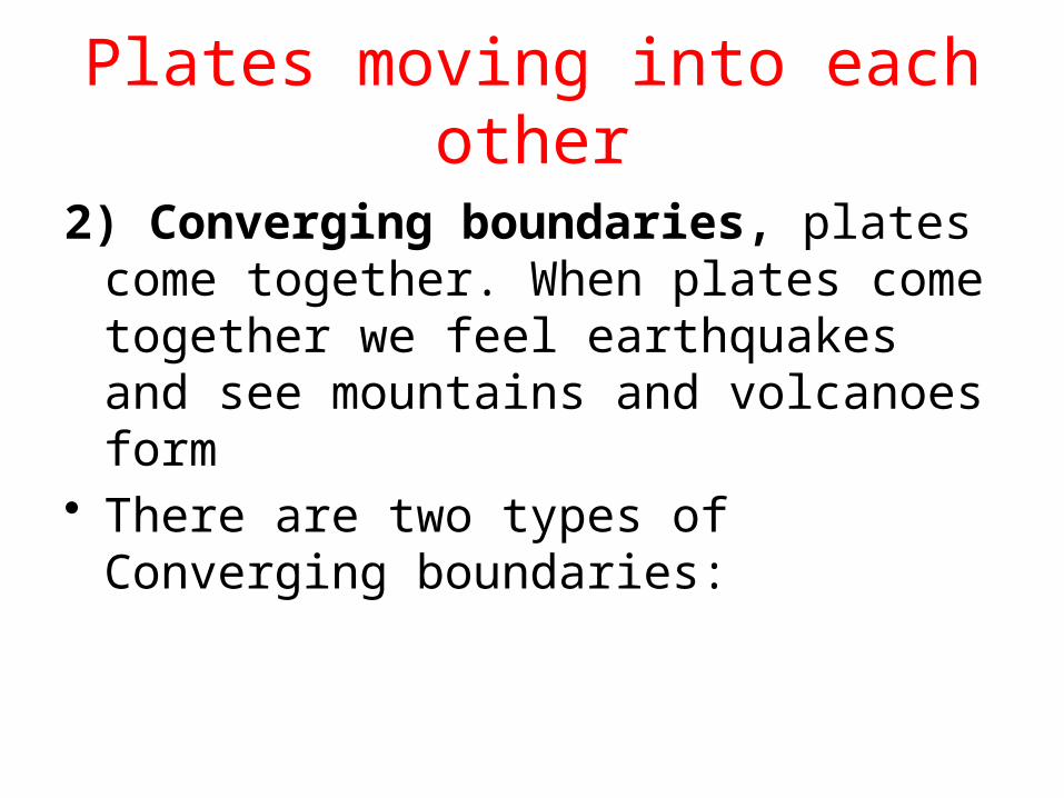
Plates moving into each other
2) Converging boundaries, plates come together. When plates come together we feel earthquakes and see mountains and volcanoes form
• There are two types of Converging boundaries:

Type 1: Trench forming boundaries
• Trench forming boundaries occur when oceanic plates collide with continental plates

• The thinner oceanic plates are forced under the thicker continental plates and a trench is formed
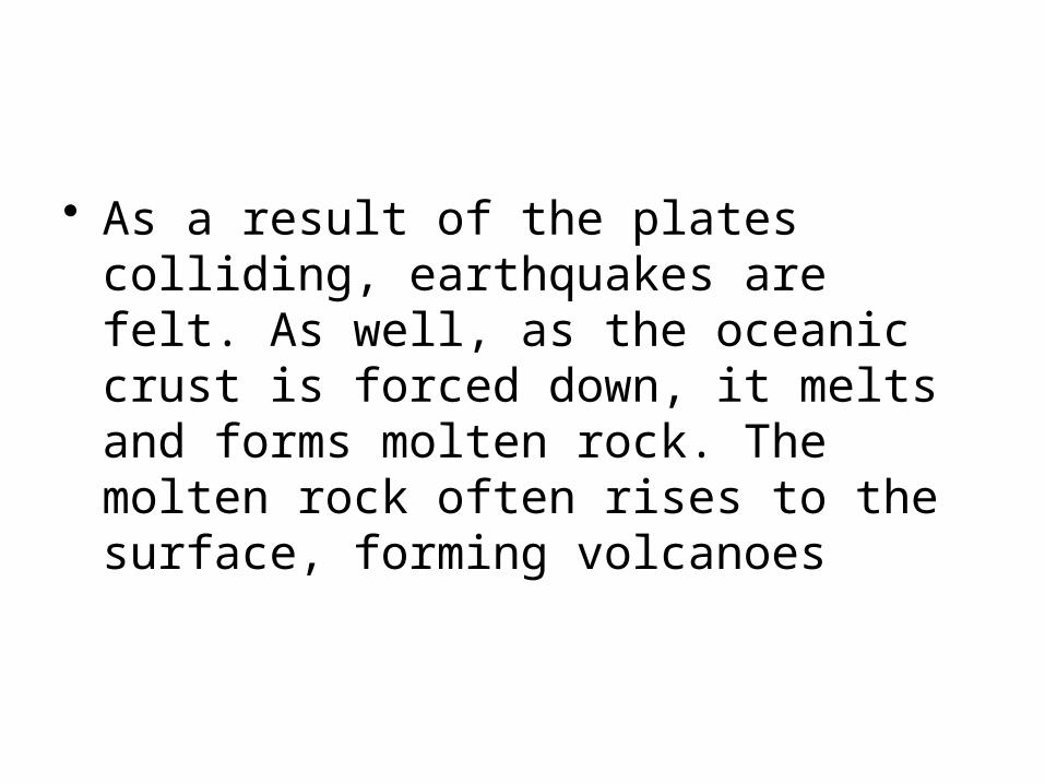
• As a result of the plates colliding, earthquakes are felt. As well, as the oceanic crust is forced down, it melts and forms molten rock. The molten rock often rises to the surface, forming volcanoes
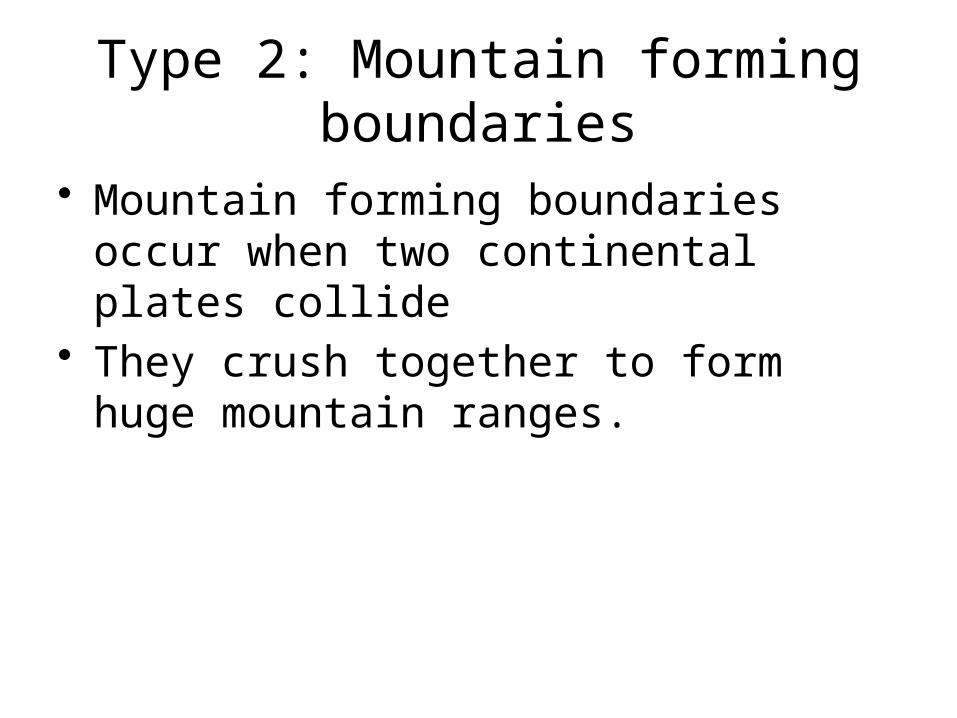
Type 2: Mountain forming boundaries
• Mountain forming boundaries occur when two continental plates collide
• They crush together to form huge mountain ranges.

Plates that move alongside each other.
3) Transform boundaries, plates slide along beside each other.
• This sliding does not take place smoothly and earthquakes often occur at these boundaries
• Ex) The west coast of Canada
Earthquakes
• An earthquake is a shaking of the Earth caused by a sudden breaking of large blocks of rock in the Earth’s crust.
• Most earthquakes occur at the boundaries between plates; however, earthquakes can occur in the middle of plates,
• Faults are cracks in the Earth’s crust where movement occurs.
How do earthquakes occur!!!
• 1) The plates collide or a fault forms. • 2) Rocks start to break.
– The point below the surface where rocks first break is called the Focus
• 3) This sudden breaking of rocks releases waves of energy called Seismic Waves.
• 4) These waves cause damage and change the Earth’s surface. – Scientist use these waves to measure earthquakes.
How do earthquakes occur!!!
• 5) These waves also cause the shaking you feel in an earthquake
• 6) The point on the surface directly above the focus is called the epicentre– The epicentre helps determine the location of
an earth quake
Earthquake Assignment
• Your assignment is to pick one of the worst earthquakes of all time and answer the following questions:– 1) Where and when did it occur?– 2) How big was it?– 3) What type of boundary was it ?– 4) Interesting facts..
Measuring Earthquakes
• Read p. 275• What is the Richter scale (be sure to state
where the name came from and how it works)
• Define seismograph and seismogram

Measuring Earthquakes
• The Richter scale was developed by Charles Richter to measure earthquakes
• The scale starts at 0 and goes up by 1’s• Each step up the scale is an increase of
10x the magnitude– Ex) 3 on the Richter scale = 10 x 10 stronger
then level 1
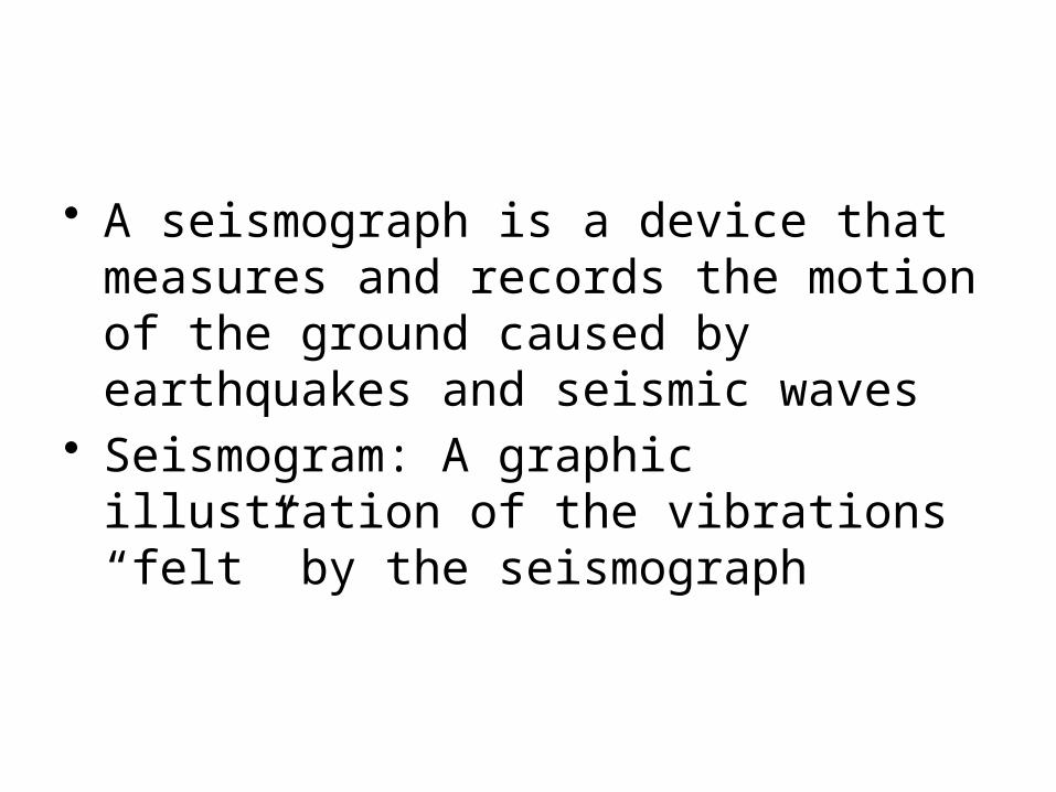
• A seismograph is a device that measures and records the motion of the ground caused by earthquakes and seismic waves
• Seismogram: A graphic illustration of the vibrations “felt” by the seismograph

Seismograph
Building mountains
• Mountain ranges are a series of mountains
• A mountain is a part of the earth’s surface that is much higher than the land around it.
• Mountain’s are formed 3 different ways. – Folding– Faulting – Volcanic activity
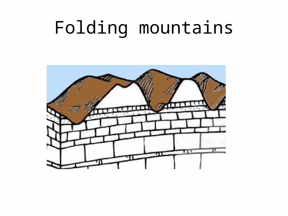
Folding mountains
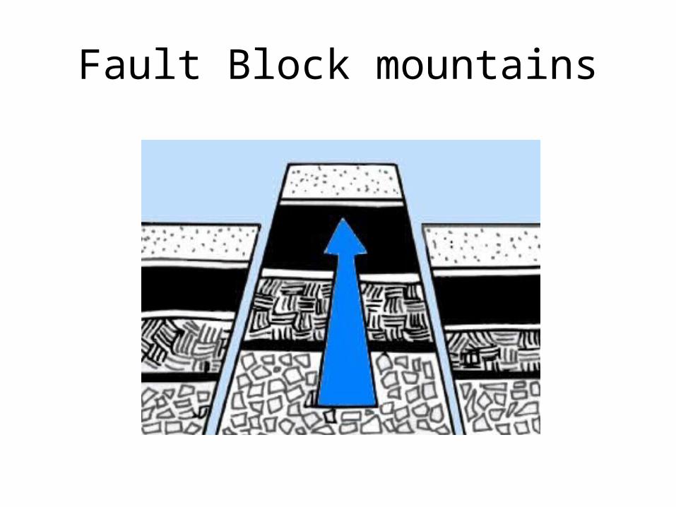
Fault Block mountains
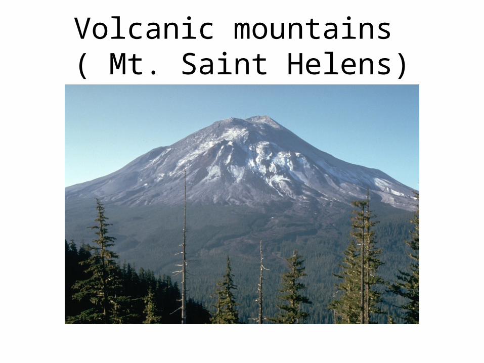
Volcanic mountains ( Mt. Saint Helens)
Rocks and Minerals
• Rocks: a substance made of one or many minerals
• Minerals: a pure substance that forms naturally as a solid in the Earth

Classifying Minerals
• Minerals are classified by their chemical composition (by what chemicals are in them)
• 5 minerals combine to form most of the rocks in the Earth’s crust. These minerals are:– Calcite– Quartz– Feldspar– Mica– Hornblende
Classifying Rocks
• To identify rocks you need to identify the minerals they contain. Minerals can be identified by their properties (features they have)

Classifying Rocks
• The four main properties for determining minerals are:– Colour: What colour is it?– Lustre: The way the surface of a mineral looks
in the light.– Streak: The colour of powder a mineral leaves
behind when it is rubbed against a rough surface
– Hardness: A hardness scale is used to test minerals

Igneous Rock
• Igneous is Latin word meaning “iginis” meaning fire.
• Formed by magma. • May be warm or cold on the surface• On land or beneath water it is called lava.• You can tell them apart by pegmatite and
basalt, one cools on land and one deep inside the earth.
Sedimentary Rock
• A rock with many layers.• Mainly Formed from dead animal shells.• The more the sediments pile up they get
compressed by the weight of the other sediment.
• This forces the sediments closer together.• After a while it forms hard rock

Metamorphic Rocks
• Changing shapes• It’s a Greek name• These rocks start out as sedimentary or
igneous rock• Its heat and pressure causes changes• It may even have caused the mineral
grains to melt slightly, reform and get harder
Identifying Rocks
• Dichotomous key activity
Mining
• Page 300-301– Define ore and mining
How rocks form and change over time.
• There are a number of factors that cause change in rocks. The following are some of these factors:
• 1) Weathering- weathering is the process that wears down rocks and other objects
Weathering
• There are three types of weathering:– Mechanical weathering: When rocks are
broken apart by physical forces, such as water or wind.
– Chemical weathering: When water in the air combines with chemical substances in the air to form acids. • Rocks exposed to these acids are broken down
• Biological Weathering: When living things wear away rocks.– Ex) Tree roots growing through rocks or
pavement.

• 2) Erosion: The movement of rock materials and soil by water, wind or ice.
– Rivers and moving bodies of water are forces of erosion that gradually break down rock
– Landslides are forces of erosion that happened very quickly

Rock cycle
• Handout and Rock cycle Diagram

Rock Cycle Diagram
Soil
• Soil is a mixture of rock fragments, minerals, grains and organic material.– Organic material is made up of once living
things and waste from living things.• When organic material decays completely
it is called Humus– Humus gives soil a rich, dark colour and
keeps soil moist by absorbing water

Soil
• The spaces between rock fragments, minerals, grains and organic material are called pores.– Pores, allow water and air into the soil so the
plants can grow– The best soils have just the right combination
of minerals, organic matter and pores (Fertile soil)
How Soil Forms
• Activity

Characteristics of Soil
• Scientists use the following characteristics to describe soil:
1) Texture: a description of how smooth or sharp the grains of soil are and how big they are.
2) Pore Size: how easily water and air move through the soil.
3) Air and Water Capacity

4) Nutrient Content
-Nutrients are the essential materials living things need to survive
5) Depth of the soil

Soil Conservation
• Read pages 336-338• Discuss Communicate Questions together

• Activity
How we affect the world around us.
• As a class, read pages 342 -345• Discuss problem solver together
Using Earth’s resources
• Discuss pages 346-347