north vaughan and new communities - nvnctmp vaughan and new communities ... • proposed collector...
TRANSCRIPT

North Vaughan and New Communities Transportation Master Plan
Stakeholder Workshop #1
Background Context
August 19, 2015
1

Presentation Outline
• Study Area Characteristics
• T.M.P. Study Overview
• Background transportation conditions and plans
• Group discussions
• Next steps
2
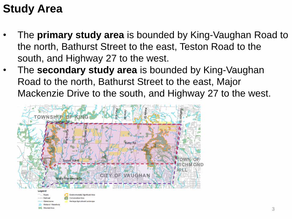
Study Area
• The primary study area is bounded by King-Vaughan Road to
the north, Bathurst Street to the east, Teston Road to the
south, and Highway 27 to the west.
• The secondary study area is bounded by King-Vaughan
Road to the north, Bathurst Street to the east, Major
Mackenzie Drive to the south, and Highway 27 to the west.
3

Existing Road Network
4

Planned Development
5

Natural Environmental Features and Utilities
• Redside Dace located within East Humber River, Purpleville Creek, and Don River East Branch
• East Humber provincially significant wetlands
• A.N.S.I.s: Humber River Valley Kleinburg, Maple Spur Channel, Maple Uplands and Kettles Candidate
6

Archaeological Sites
• Sites with archaeological potential have been identified within
the study area
• Input from Huron-Wendat First Nation
• T.M.P. study recommendations shall consider impacts to our
archaeological and cultural heritage
7

T.M.P. Overview
• Develop a well-integrated, multi-modal, sustainable
transportation network
• Accommodate growth to 2031
• Take into consideration and align with York Region T.M.P.
update’s recommendations to 2041
• Block 27 and Block 41 Transportation Networks
• Connect to broader N.V.N.C.T.M.P. study area
• Planning for potential Kirby GO Station
• Phasing of an interim transit hub
• Pedestrian and Cycling Network Plan
• Phasing and Implementation Plan
8

Regional Transportation Planning Context
Source: York Region T.M.P. Open House 2, June 2015
9

Key Issues Summary Map
10

Background Transportation Conditions
11

12
Existing Work Trips from the Study Area
• Primarily rural communities, 90% auto trips
• Low self-containment (within Study Area)
• Primary destination to Toronto
• Over 80% auto drivers

13
Transit Service
• Y.R.T. service via Y.R.T. Routes 13 Islington, 22 Keele, 88
Bathurst, and community services south of Teston Road
• Commuter transit service to and from Toronto via GO Rail
during peak periods and GO Bus service during off peak
periods

14
Truck Traffic
• Highway 27, Highway 400, and Keele are major truck routes
within the Study Area
• Teston Road is a truck route in the east end of the study area
and through the Town of Richmond Hill
• Future east-west connectivity to support new growth areas,
truck traffic generators
Source: M.T.O. 2006 A.A.D.T. and 2011 Cordon Count Program

15
Future Planned Highway and Road Improvements
• G.T.A. West
• 400 Widening (Major Mackenzie to King Road H.O.V. lanes)
• 427 Extension to Major Mackenzie and G.T.A. West
• Proposed Collector Road system in 400 Employment Area
• Kirby and Teston missing links, Highway 400 midblock
crossings

16
Future Planned Improvements – York Region
• 2015 10-year Roads Capital Program

17
Future Planned Transit Improvements Metrolinx and Y.R.T.

18
Vaughan Pedestrian and Cycling Master Plan

19
Gaps in the Current Transportation Network

20
Next Steps/Schedule
Stakeholder Visioning Workshop – August 19
• P.I.C.#1 – October 13, 2015 (Tentative)
• Identification of Alternative Solutions - Fall 2015
• Community Workshop - November 2015 (Tentative)
Stakeholder Workshop #2 – February 2016
• P.I.C.#2 - Late March 2016
• Draft Report Summer 2016
Stakeholder workshop #3 Late Summer/Fall 2016
• Final Report Fall/Winter 2016
21
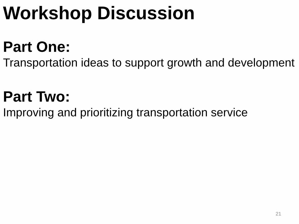
Workshop Discussion
Part One: Transportation ideas to support growth and development
Part Two: Improving and prioritizing transportation service
22
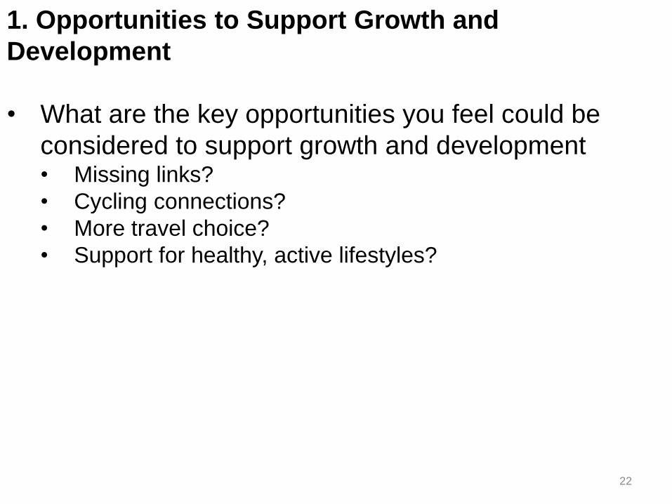
1. Opportunities to Support Growth and
Development
• What are the key opportunities you feel could be
considered to support growth and development • Missing links?
• Cycling connections?
• More travel choice?
• Support for healthy, active lifestyles?

23
1. Opportunities to Support Growth and
Development
• What are the key challenges that need to be
addressed to support growth and development: • Protecting the natural environment
• Protecting existing communities
• Protecting heritage features
• Transportation service
• Other ____

24
2. Improving and Prioritizing Transportation Service
• How to improve service for each of the following? • Cycling facilities
• Sidewalks and trails for walking
• Y.R.T. transit services
• GO services
• Road widenings and expansions
• Other _____

25
2. Prioritizing Transportation Service
• If you have $10 to spend on transportation, how
would you spend it to improve transportation service? • Cycling facilities
• Sidewalks and trails for walking
• YRT transit services
• GO services
• Road widenings and expansions
• Other _____

26
Thank you for your input!