north carolina cemetery site form - files.nc.gov · pdf filenorth carolina cemetery site form...
TRANSCRIPT

North Carolina Cemetery Site Form
Identity
Cemetery name(s) __________________________________________________________________
State site number: 31____________ State Property Office complex number ____ ____ ________
Other site numbers ______________ Organization assigning other number __________________
Recorded by ______________________ Organization name (if any) ___________________________
Mailing address_______________________________________________________________________
Phone number(s) __________________________ Email _________________________________
Form submitted by _______________________________________ Date Submitted__________
Reason for recording cemetery __________________________________________________________
If compliance, provide: Tracking number _____________________________________
Compliance project name_________________________________________________________
Location and Ownership
Datum: NAD27NAD83
County ___________________________ City, town, community or township ____________________
Cemetery address (if applicable) __________________________________________________________
Directions to cemetery:
Access to cemetery: (explain)_______________________________________
USGS topographic quadrangle map name__________________________________________________
Provide coordinates in Latitude ____* _____’ _____” Longitude ____* _____’ _____”
OR Universal Transverse Mercator (UTM)
Zone ___ Easting ___________ Northing _____________
***Please attach a map showing the cemetery’s location***
RestrictedUnrestricted
Cemetery owner name and address:
(CTY) (CO) (COMP)
1
Size of cemetery (approx) __________________
Number of graves (approximate) ________________
Is the cemetery enclosed?
Condition of enclosure GoodPoorOther _____________________________________
legible markers ________ Number of marked graves _________
Period of use began ______________
unmarked graves ________
Period of use ended __________
Date of earliest marker __________ Date of most recent marker __________
Marker type(s) woodlimestonegranitemarble
concreteceramicencased paperother_______________________________
If unusual markers present, please describe:
**Please use the table attached to list the individuals buried in the cemetery and provide transcriptions of any marker inscriptions**
YesNo
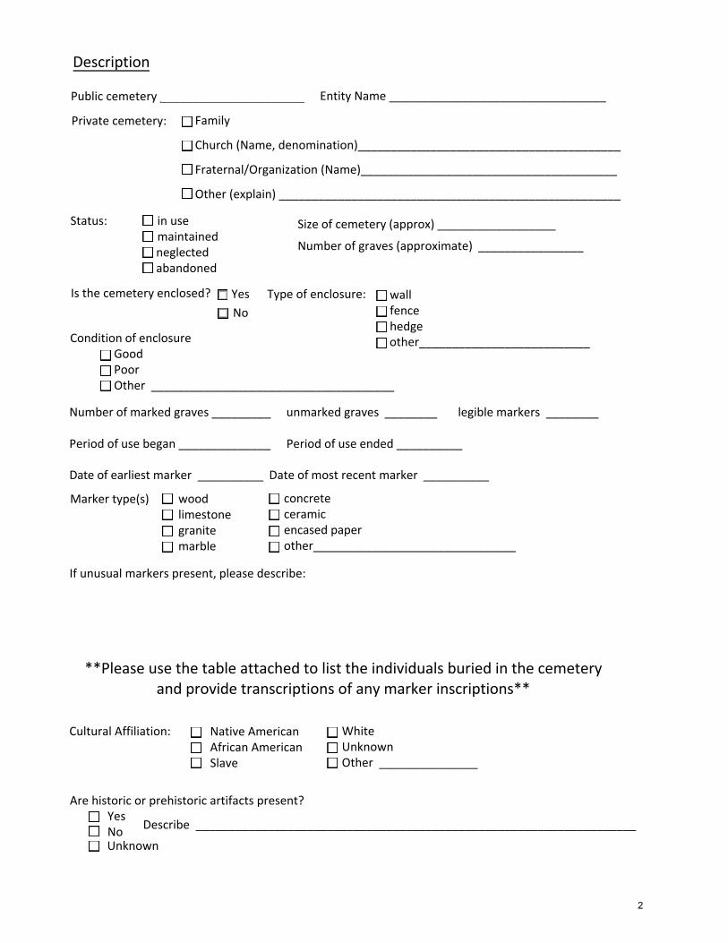
Description
Public cemetery ______________________
Private cemetery:
Entity Name _________________________________
Family
Church (Name, denomination)________________________________________
Fraternal/Organization (Name)_______________________________________
Other (explain) ____________________________________________________
Status: in use maintained neglected abandoned
Type of enclosure: wallfencehedgeother__________________________
Cultural Affiliation: Native AmericanAfrican AmericanSlave
WhiteUnknownOther _______________
Are historic or prehistoric artifacts present? YesNo Describe ___________________________________________________________________
2
Unknown
Other means (describe) ________________________________________________________ ___
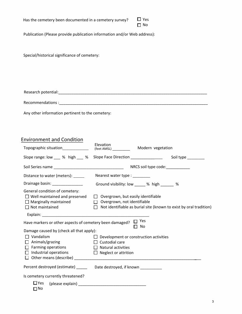
Publication (Please provide publication information and/or Web address):
Special/historical significance of cemetery:
Research potential:____________________________________________________________________
Recommendations :____________________________________________________________________
Any other information pertinent to the cemetery:
Environment and Condition
Topographic situation____________
Slope range: low ___ % high ___ % Slope Face Direction _______________
Modern vegetation __________ __Elevation(feet AMSL) _________
Nearest water type : ________
Ground visibility: low _____ % high ______ %
Distance to water (meters): _____
Drainage basin: ______________
General condition of cemetery:Well maintained and preservedMarginally maintainedNot maintained
Overgrown, but easily identifiableOvergrown, not identifiableNot identifiable as burial site (known to exist by oral tradition)
Explain: _________________________________________________
Development or construction activitiesCustodial careNatural activitiesNeglect or attrition
VandalismAnimals/grazingFarming operationsIndustrial operations
Have markers or other aspects of cemetery been damaged?
Damage caused by (check all that apply):
YesNo
Soil Series name ________________________________ NRCS soil type code:___________
Soil type ________
Percent destroyed (estimate) _____ Date destroyed, if known __________
Is cemetery currently threatened?
Yes No
(please expl ai n) _______________________________
Has the cemetery been documented in a cemetery survey? YesNo
3

OFFICE OF STATE ARCHAEOLOGY USE
National Register Status Criterion
A B C D
Date listed _______
Form Checked by ___________________ Date__________
Locational reliability
Form reliability
Determined EligiblePlaced on the Study List Approved for Nomination by NRAC Currently listed on NRHP Removed from NRHPNot eligible after evaluationUnassessedNorth Carolina Archaeological Record Program
AccurateUnknownUnreliableWithin 100 meter radiusWithin 500 meter radiusWithin 1 km radius
CompleteIncompleteUnreliable
Please mail completed form, map and any photographic attachments to:
Susan Myers Site Registrar Office of State Archaeology 4619 Mail Service Center Raleigh, NC 27699-4619
Please contact Susan Myers ([email protected], 919/807-6556) or Sam Franklin, GIS Specialist ([email protected], 919/807-6563) with any questions.
4
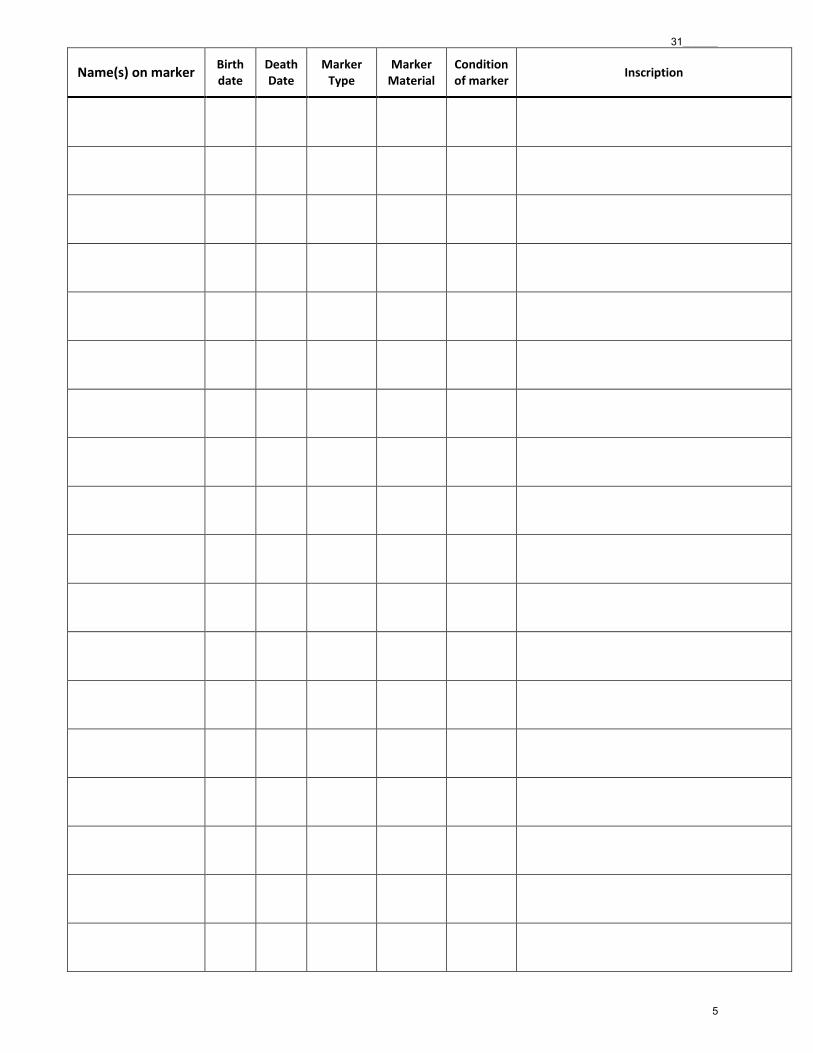
Name(s) on marker Birth date
Death Date
Marker Type
Marker Material
Condition of marker
Inscription
31______
5