mekong river inundation simulation using k-super computer
TRANSCRIPT

MEKONG RIVER INUNDATION
SIMULATION
USING K-SUPER COMPUTER
Research Center for Urban Safety and Security/Civil Engineering Dept.
Associate Professor, Ken KOBAYASHI

Advantage of home
82944 CPUs
663552 cores

Specification of the K super computer
82944 CPUs
663552 cores

Literature survey

for Osaka
We tried up to
8192 CPUs.

A Shallow water equation
rainy
N
x
M
t
h
31
222
h
vuugn
x
Hgh
y
vM
x
uM
t
M
31
222
h
vuvgn
y
Hgh
y
vN
x
uN
t
N

Mekong River simulation
Mekong River
River length: 4,200km, Area:795,000km2
Largest river in South East Asia
Flooding occurs in rainy season: Huge
damages in 2000 and 2011
Computational
area
Cambodia, Vietnam,
Mekong Delta
Cell size 200 m(Dem:JAXA ALOS
World 3D - 30m)
Computational
duration
UTC 2000/5/1~UTC
2000/10/31

Upper B.C. at Kratie (Observed water level)Approx. 350km × 350km area
Mekong River simulation

184 day simulation became possible within 24 hours by K supercomputer (1,891×1,900=3,592,900 node, 200m resol.)
8 times larger
than the
Tonegawa river
basin, the largest
basin in Japan
With 960CPU
Checked that the
time step could
be doubled
though the
accuracy was not
checked.

<max. inundation depth> <MODIS image>
Comparison with MODIS

Volta river basin, West Africa
English
French
FrenchFrench
French
French
French
SATREPS 1st Phase (2012-2017): Main theme was agriculture and
meteorology. It could not establish enough relationship with Water
Authorities such as Water Resources Commission.

CECAR Ghana Project – Thank you very much for the opportunity
12

Issues needs to be solved
• We can obtain the hydrological data only within Ghana.
• Burkinafaso recently started to inform Ghana about the dam water release from Bagre dam but they do not tell Ghana how much it is.
• Language problem when developing the flood warning system (English or French?)
• The information from Burkinafaso is French.
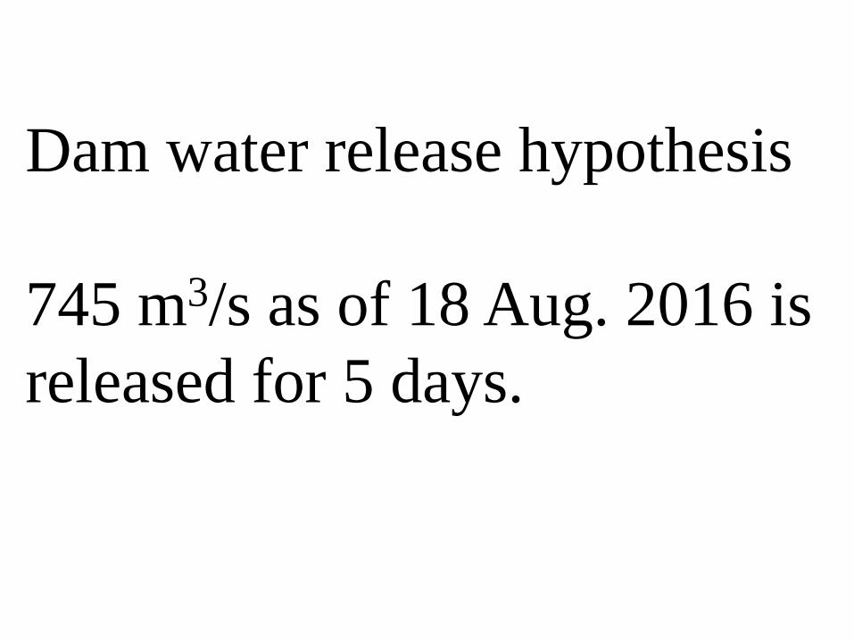
Dam water release hypothesis
745 m3/s as of 18 Aug. 2016 is
released for 5 days.

Mesh size: 2219×4439
(100m)
=221.9 km×443.9 km
98501.41 km2
Approx. 5.8times larger
than the Tone river
basin
82944 CPUs663552 cores


With K supercomputer 960 CPUs (32×30 domain
decompositions),
SPARC64VIIIx (2.0 GHz), 8 cores/CPU/node),
Approx. 6.3 hour(25 day simulation)
[Open MP only]
Lab. WS, 16core、Xeon CPU E5-2670 (2.6GHz)
probably approx. 46 hours (1 day simulation)?
The information of the dam water release came on Aug. 19.
If the simulation finishes within Aug. 19, then the prediction
becomes possible until Sep. 13 2016.
It takes 3 days until the released water reaches to the border between
Ghana and Burukinafaso.
Supercomputer K was crowded so that we waited for one day.

A Combined disasters in TokyoTyphoon downscaling experiment
JMA GCM 2093 August Typhoon
Kanogawa Typhoon best track was moved by 50km
eastward, the central pressure was lowered by 40 hPa.
The initial depth was plus 83cm due to a climate change
and plus 99 cm by high tide, thus totaly 1.82 m plus
Approx.
14 mil. Node
10 m resolution

Concluding remarks
The flood inundation simulation becomes very fast
using K super-computer.
If we could show an upper limit of the simulation
speed using the super computer, someone will realize
it by much cheaper way as people knows the limit to
break.
Parallel efficiency is not good enough yet which
needs to be improved.

Thank you very much
for your attention.