maps show natural and human-made features. q. what is the difference between a globe and a map? a. a...
TRANSCRIPT

Maps show natural and human-made features.
Q. What is the difference between a globe and a map?
A. A globe is a sphere that represents Earth, while a map is a flat model of Earth’s features.

• Relief map shows what the landscape of an area looks like. – how high or low each feature is – three-dimensional view– three main types of land features
• Mountains stand higher than the land around them. – base may cover several square kilometers – group is called a mountain range– ranges connected in a long chain form a belt– Rocky Mountains in the US are part of a huge mountain
belt that includes the Canadian Rockies and the Andes Mountains in South America
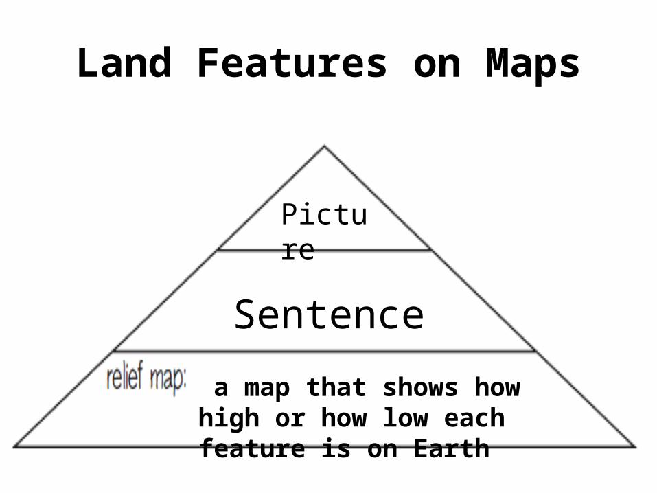
Land Features on Maps

Land Features on Maps• Plateaus have fairly level surfaces but stand high
above sea level.– often found near large mountain ranges. – In the US, the Colorado Plateau is about 3350 meters
(11,000 ft) above sea level and includes parts of Arizona, Colorado, New Mexico, and Utah.
• Plains are gently rolling or flat features. – The United States has two types of plains• coastal plains near the eastern and southeastern shores• interior plains in the center of the nation. • The interior Great Plains cover the middle third of the
United States.
Land Features on Maps
a map that shows how high or how low each feature is on Earth
Picture
Sentence

Scale and Symbols on Maps• Most people use road and city maps which provide
information about human-made and some natural features.
• A map scale relates distances on a map to actual distances on Earth’s surface. – expressed as a ratio, a bar, or equivalent units of distance
• A legend (key) is a chart that explains the meaning of each symbol used on a map. – Highways, parks, and other features have symbols.
• Usually includes a compass rose to show cardinal directions

Scale and Symbols on MapsQ. The scale on a particular map reads 1:250,000. What
does this mean? A. This scale means that 1 unit on the map is equal to
250,000 units on Earth’s surface.
Q. What does it mean if the scale reads 1 cm = 1 km?A. This means that 1 cm on the map is equal to 1 km on the
surface.
Q. A map legend, also called a key, contains symbols. What are these symbols, and what do they stand for?
A. The symbols represent key information on the map—roads, parks, cities, and so on.
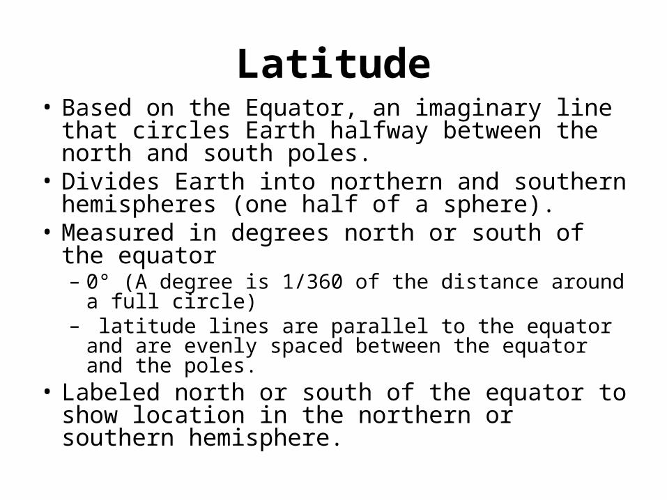
Latitude• Based on the Equator, an imaginary line that
circles Earth halfway between the north and south poles.
• Divides Earth into northern and southern hemispheres (one half of a sphere).
• Measured in degrees north or south of the equator – 0° (A degree is 1/360 of the distance around a full
circle)– latitude lines are parallel to the equator and are
evenly spaced between the equator and the poles.• Labeled north or south of the equator to show
location in the northern or southern hemisphere.
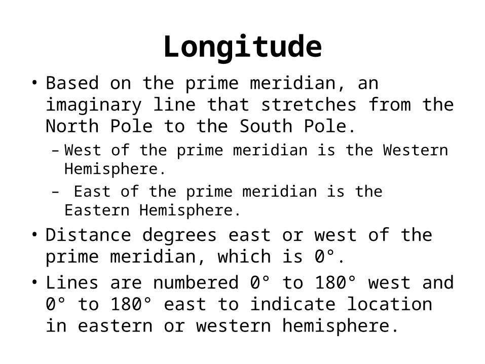
Longitude• Based on the prime meridian, an imaginary line
that stretches from the North Pole to the South Pole. – West of the prime meridian is the Western Hemisphere.– East of the prime meridian is the Eastern Hemisphere.
• Distance degrees east or west of the prime meridian, which is 0°.
• Lines are numbered 0° to 180° west and 0° to 180° east to indicate location in eastern or western hemisphere.

Latitude and longitude show locations on Earth.
Q. How do latitude and longitude lines help to locate places on Earth?
A. They form an imaginary grid over Earth’s surface. By knowing latitude and longitude, you can find any place on Earth.
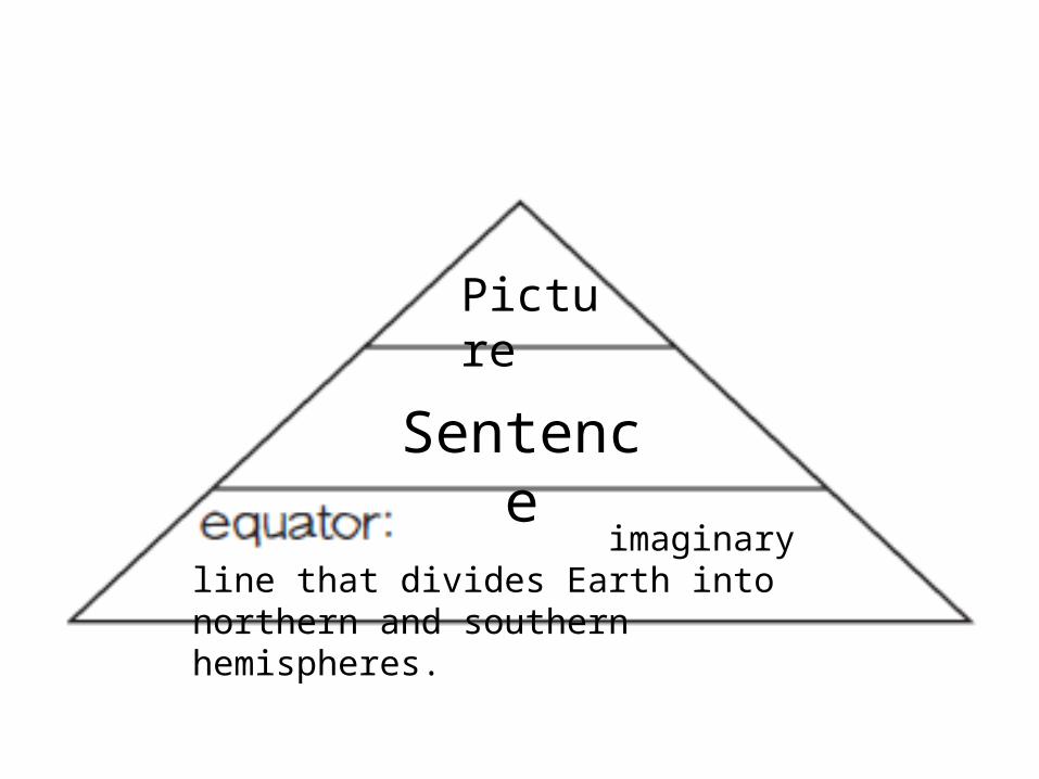
imaginary line that divides Earth into northern and southern hemispheres.
Picture
Sentence
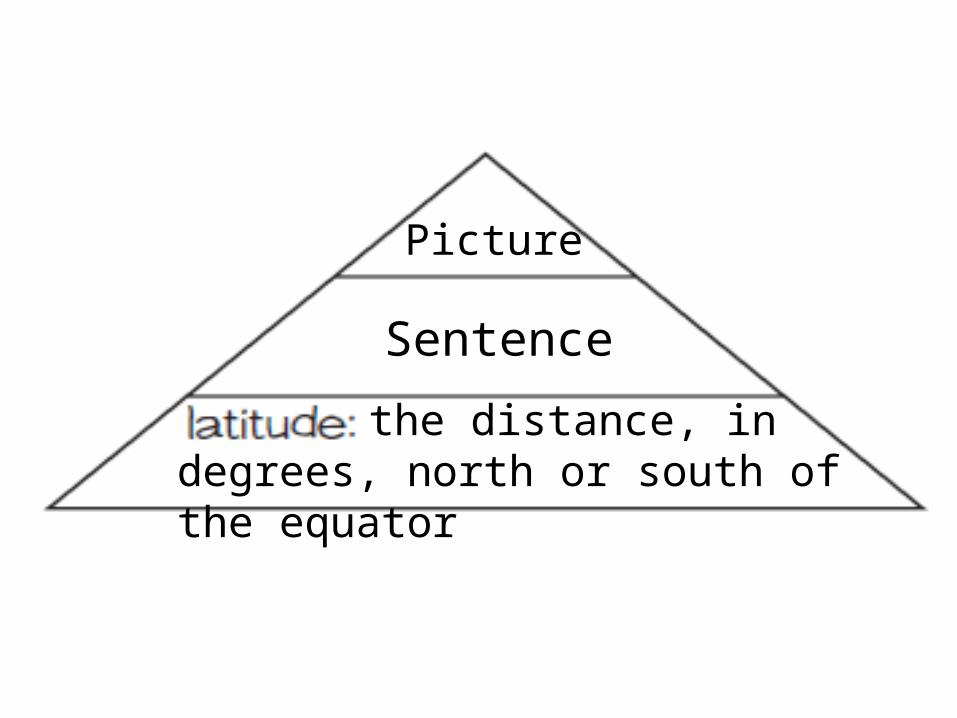
the distance, in degrees, north or south of the equator
Picture
Sentence

Longitude
Q. What is the prime meridian, and how is it related to longitude?
A. The prime meridian is an imaginary line that runs from the North to the South pole. Longitude is the distance in degrees east or west of the prime meridian.
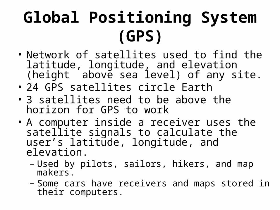
Global Positioning System(GPS)
• Network of satellites used to find the latitude, longitude, and elevation (height above sea level) of any site.
• 24 GPS satellites circle Earth • 3 satellites need to be above the horizon for GPS
to work• A computer inside a receiver uses the satellite
signals to calculate the user’s latitude, longitude, and elevation.– Used by pilots, sailors, hikers, and map makers. – Some cars have receivers and maps stored in their
computers.
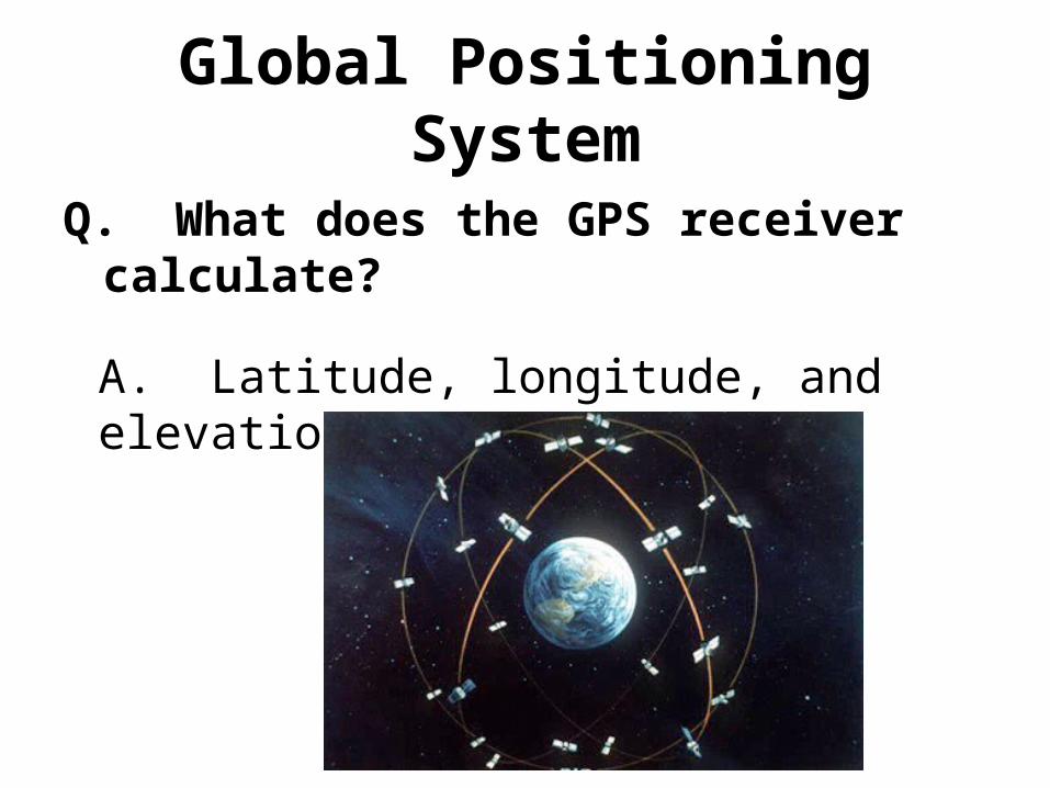
Global Positioning System
Q. What does the GPS receiver calculate?
A. Latitude, longitude, and elevation of any location .
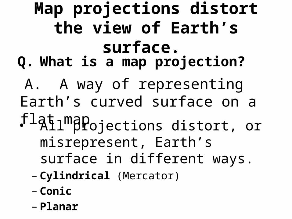
Map projections distort the view of Earth’s surface.
Q. What is a map projection?
• All projections distort, or misrepresent, Earth’s surface in different ways.
– Cylindrical (Mercator)– Conic– Planar
A. A way of representing Earth’s curved surface on a flat map
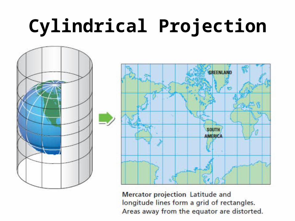
• Mercator projection shows Earth as if the map were a large cylinder wrapped around the planet.
• The outlines of the landmasses and seas are then drawn onto the map.
• Latitude and longitude appear as straight lines, forming a grid of rectangles.
• Useful for navigating at sea or in the air. • Shows the entire world, except for regions near
the poles, on one map. • Sailors and pilots can draw a straight line from
one point to another to plot a course.
Cylindrical Projection

Cylindrical Projection
Q. Explain the distortion that occurs with Mercator projection maps.
A. Areas away from the equator are shown as much larger than they really are.
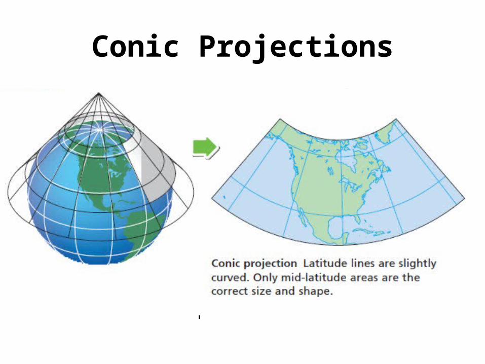
Conic Projections
Q. What are three facts about conic projection maps? A.• Based on the shape of a cone. • Latitude lines are curved slightly, and represent the
curved surface of Earth. • Shows the true sizes and shapes of some landmasses.• Most useful for mapping large areas in the middle
latitudes.• Landmasses near the equator or near the north or
south pole will be distorted.
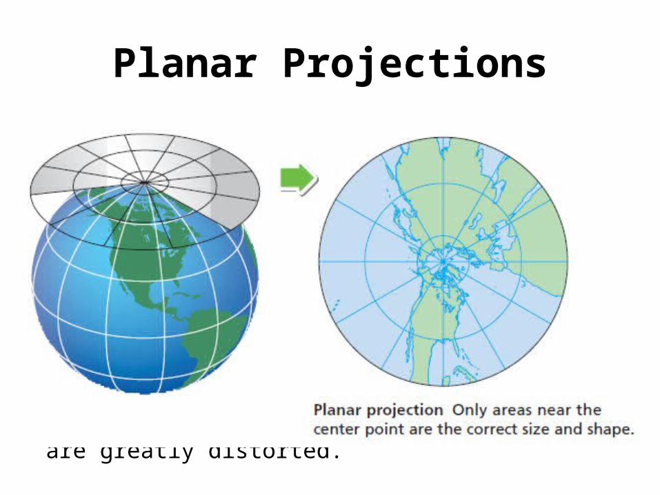
Q. Describe planar projection maps. What are planar projection maps good for plotting?
A.• Planar projection maps are drawn as if a circle of paper
was laid over a point on Earth’s surface. • At the polar regions, longitude lines meet at the center of
the diagram. • A planar map is good for plotting ocean or air voyages and
for showing the north and south polar regions. Landmasses farther away from the center point are greatly
distorted.
Planar Projections