lecture 06: spatial interpolation and statistics - lakhankar · lecture 06: spatial interpolation...
TRANSCRIPT

ENGRG 59910: Introduction to GIS
Lecture 06: Spatial Interpolation and Statistics
Acknowledgment: Michael Piasecki

•Concepts• What is spatial interpolation• Why is necessary• Sample of interpolation (size and pattern)
•Interpolation methods• Thiessen polygon• Local average• Inverse Distance Weighted• Spline• Kriging
Outline Today
3/17/2017 ENGRG 59910 Intro to GIS 2
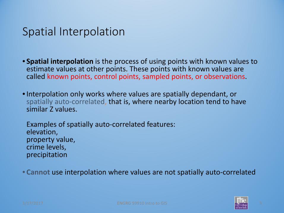
• Spatial interpolation is the process of using points with known values to estimate values at other points. These points with known values are called known points, control points, sampled points, or observations.
• Interpolation only works where values are spatially dependant, or spatially auto-correlated, that is, where nearby location tend to have similar Z values.
Examples of spatially auto-correlated features: elevation, property value, crime levels, precipitation
• Cannot use interpolation where values are not spatially auto-correlated
Spatial Interpolation
3/17/2017 ENGRG 59910 Intro to GIS 3

• Positive spatial autocorrelation is when similar values cluster together in a map. Negative spatial autocorrelation is when dissimilar values cluster together in a map.
4

• GIS require data at all points (subject to spatial resolution of question).
• Impossible to measure continuous variables at all points.• Infinite number of points• Finite amount of time and other resources• Inaccessible points
• It is necessary to evaluate new values• Evaluate new value if cell size is changed• Replace missing or erroneous data (noise data)
Why Spatial Interpolation?
3/17/2017 ENGRG 59910 Intro to GIS 5

• Problem: Impossible ever to measure any continuous variable at all points
• Objective: Estimate unknown points by similarity and proximity with known points
• Basic Principle: Points close together in space are more likely to have similar values than points far apart (Tobler's First Law of Geography, 1970)
• Basis: • Sample of Known Points• Unknown points
Principles of Interpolation
3/17/2017 ENGRG 59910 Intro to GIS 6

Interpolation is prediction within the range of our data
•E.g., having temperature values for a bunch of locations all throughout PA, predict the temperature values at all other locations within PA
Extrapolation is prediction outside the range of our data
•E.g., having temperature values for a bunch of locations throughout PA, predict the temperature values in Kazakhstan
Interpolation vs. Extrapolation
3/17/2017 ENGRG 59910 Intro to GIS 7

Sample Patterns
• Systematic pattern• Random pattern• Cluster pattern• Adaptive pattern
3/17/2017 ENGRG 59910 Intro to GIS 8

Systematic Sampling• Easy • Samples spaced uniformly at fixed X, Y
intervals • Parallel lines
AdvantagesEasy to understand
Disadvantages• All receive same attention • Difficult to stay on lines • May be biases
? ?
3/17/2017 ENGRG 59910 Intro to GIS 9

Random Sample
• Select point based on random number process
Advantages Less biased (unlikely to match pattern in landscape)
Disadvantages Does nothing to distribute samples in areas of high Difficult to explain, location of points may be a problem
3/17/2017 ENGRG 59910 Intro to GIS 10

Cluster Sampling
Group samples around centers Centers can be located systematically or
randomly (or for convenience, if statistically valid) Samples within a cluster can be located randomly,
systematically, or otherwise.
Advantage– Reduced travel time– Take advantage of existing access
Disadvantages: For cluster center placement, same as for systematic and random point placement
3/17/2017 ENGRG 59910 Intro to GIS 11

• Adaptive Sampling – higher sampling density where important variable(s) have greatest variation.
Advantages• Sampling efficiency optimized• Logistics can be planned in many cases• More efficient, homogeneous areas have
few samples, better representation of variable areas.
Disadvantages• Preliminary sampling may be necessary,
e.g. soil chemistry• Significant prep time• Subjective
Adaptive Patterns
3/17/2017 ENGRG 59910 Intro to GIS 12

• All interpolation methods use sampled values and positions to model un-sampled points
• Deterministic interpolation techniques create surfaces from measured points, based on either the extent of similarity (e.g., Inverse Distance Weighted) or a degree of smoothing (e.g., Trend Surface Analysis).
• Geostatistical interpolation techniques (e.g., Kriging) are based on statistics and are used for more advanced prediction surface modeling, which also includes error or uncertainty of predictions.
• NOTE: Different methods will (almost always) produce different results.
Interpolation: The Unknown Points
3/17/2017 ENGRG 59910 Intro to GIS 13
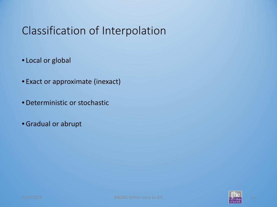
• Local or global
• Exact or approximate (inexact)
• Deterministic or stochastic
• Gradual or abrupt
Classification of Interpolation
3/17/2017 ENGRG 59910 Intro to GIS 14

Global vs. Local
A global interpolation method uses every known point available to estimate an unknown value.
3/17/2017 ENGRG 59910 Intro to GIS 15
A local interpolation method, on the other hand, uses a sample of known points to estimate an unknown value.

Exact vs. Inexact
3/17/2017 ENGRG 59910 Intro to GIS 16
Exact interpolation predicts a value at the point location that is the same as its known value. In other words, exact interpolation generates a surface that passes through the control points.
Inexact interpolation or approximate interpolation predicts a value at the point location that differs from its known value.

Deterministic vs. Stochastic
A deterministic interpolationmethod provides noassessment of errors with predicted values.
A stochastic interpolationmethod, on the other hand, offers assessment of prediction errors with estimated variances.
Estimated value +- 2
3/17/2017 ENGRG 59910 Intro to GIS 17

• Gradual methods:• produce smooth surface between data points• appropriate for interpolating data of low local variability
• Abrupt methods:• produce surfaces with a stepped appearance• appropriate for interpolating data of high local variability or data with
discontinuities
Gradual or Abrupt
3/17/2017 ENGRG 59910 Intro to GIS 18

• Different methods will produce different results with same input data.
• No single method is more accurate than others for all situations.
• Accuracy – may be determined by comparison with a second set of “withheld” samples for accuracy checking.
• The researcher should select the method based on knowledge of the thestudy area, phenomena of interest, and available resources.
Interpolation Methods
3/17/2017 ENGRG 59910 Intro to GIS 19

• The best interpolation method for any given application depends on• The characteristics of the variable to be estimated• the cost of sampling• available resources• accuracy requirements of the user
• Relative performance of interpolators has been determined for somevariables in some locations
• This is truly a matter of trying out different methods, once you have some data.
Choose Interpolation Methods
3/17/2017 ENGRG 59910 Intro to GIS 20

∑=
∗=n
iiio zwz
1'
Where:Z0’ is the attribute value to be predicted at the unvisited-siteZi is the attribute value at the i point of the nearby locationswi is the weight assigned to the attribute at point i, wi should
sum up to 1 (to be unbiased)n is the total number of nearby locations involved
Key issues:1) How many nearby points should we include for a given
un-visited site?2) How to select these nearby points? 3) How to allocate the weight for each nearby point?
The Basic Equation for Spatial Interpolation
3/17/2017 ENGRG 59910 Intro to GIS 21

• Most GIS packages offer a number of methods
• Typical methods are:• Thiessen polygons• Spatial moving average• Trend Surfaces• Inverse Distance Weighted• Kriging
Interpolation methods
3/17/2017 ENGRG 59910 Intro to GIS 22

• Value assigned from nearest sample
• Value assigned across unusually large cells may be questionable; watch for them
• Edge effects
Nearest Neighbor Interpolation (Thiessenpolygons)
3/17/2017 ENGRG 59910 Intro to GIS 23

Thiessen polygon construction
3/17/2017 ENGRG 59910 Intro to GIS 24

ò
ò
ò
ò
òò
Polygon Models: Thiessen (Voronoi polygons, Dirichlet cells) Polygons
Thiessen Polygons: Areas of InfluenceAn “Exact Interpolator”: Original Values are Preserved
3/17/2017 ENGRG 59910 Intro to GIS 25

• Calculates new value of each location based on range of values associated with neighbouring points
• Neighbourhood determined by a filter• size, shape and character of filter
• Avoids shaky assignments at extreme distances
• Potential problem: Assigns zero to sites with no samples within radius
• Not exact interpolator
Local Average Method (Spatial Moving Average)
3/17/2017 ENGRG 59910 Intro to GIS 26

Spatial Moving Average
3/17/2017 ENGRG 59910 Intro to GIS 27

• Raster grid specified• Sample points within a fixed, “search” radius with center in each cell are
averaged.
Local Average: Fixed Radius
3/17/2017 ENGRG 59910 Intro to GIS 28

∑
∑
=
== s
in
ij
s
in
iji
j
d
dz
z
1
1
1
Inverse-Distance Weighting (IDW)
Exact Interpolator:Value calculated directly from three (usually) nearest samples
Near one sample point, its influence greatly predominates.
Must know!
3/17/2017 ENGRG 59910 Intro to GIS 29

Exponent Value: Degree of Influence
3/17/2017 ENGRG 59910 Intro to GIS 30

Interpolation with Splines
• Force line to pass throughknown points.
• Joined polynomial functions
• Can be 1-3 order
• Segments meet at join points
• Iterative process
3/17/2017 ENGRG 59910 Intro to GIS 31

Nearest Neighbor “Thiessen” Polygon Interpolation Spline Interpolation

Effects of data uncertainty
Original surface
Interpolation based on 10 points
Interpolation based on 100 points Error mapLow
High
Error map

Edge effects
Original surface with sample points Interpolated surface Error map and extract
Low
High

• The ArcGIS GeoStatistical Analyst extension provides a variety of interpolation methods for the creation of an optimal interpolated surface from your data.
• A friendly wizard helps you through the interpolation process.
Spatial Interpolation in ArcGIS – GeostatisticalAnalyst
3/17/2017 ENGRG 59910 Intro to GIS 35

• Several options; best known is:
• Kriging• Developed by D.G. Krige and G. Matheron.• Statistically-based estimator• Depends on Variogram analysis:
defined as “… a fct describing the degree of spatial dependence of a spatialrandom field or stochastic process … the variance of the difference betweenfield values at two locations x and y across realizations in the field …”
• Weighting to interpolate variable value similar to IDW, but weights are based on spatial autocorrelation in the sample, not merely distance.
Interpolation with Geostatistics
3/17/2017 ENGRG 59910 Intro to GIS 36

1. Calculate semivariance: spatial autocorrelation
2. Identify a model to estimate the weights
3. Calculate covariance within the data
4. Make the estimation
5. Check for error
Kriging Steps
3/17/2017 ENGRG 59910 Intro to GIS 37

Geostatistics with the ArcGIS GeostatisticalAnalyst Extension
3/17/2017 ENGRG 59910 Intro to GIS 38
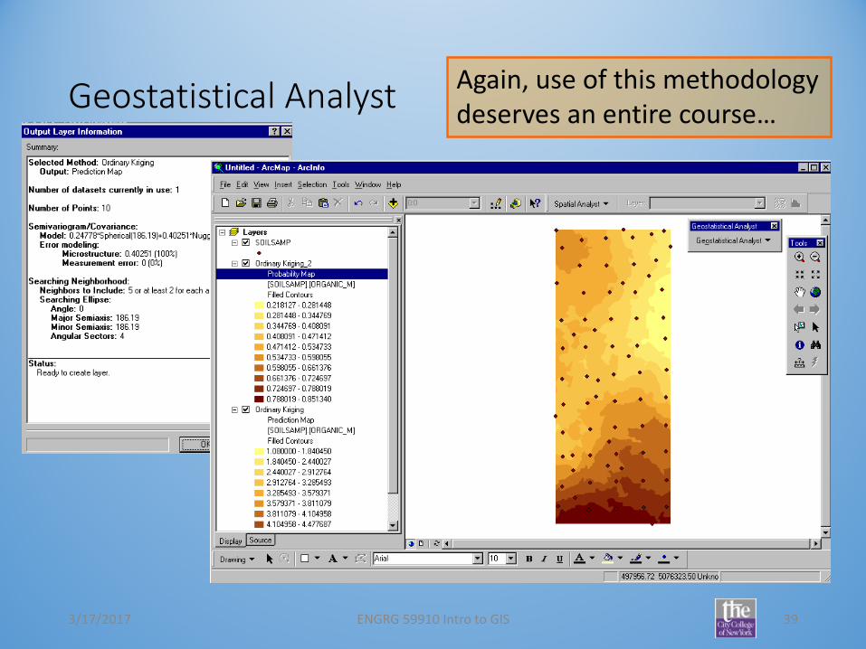
Geostatistical Analyst Again, use of this methodology deserves an entire course…
3/17/2017 ENGRG 59910 Intro to GIS 39

• The validation technique compares the interpolation methods by first dividing known points into two samples: one sample for developing the models for each interpolation method to be compared and the other sample for testing the accuracy of the models
• Steps• Remove a known point from the data set. • Use the remaining points to estimate the value at the point previously
removed. • Calculate the predicted error of the estimation by comparing the estimated
with the known value.
Cross Validation
3/17/2017 ENGRG 59910 Intro to GIS 40

Root mean square (RMS) error
2est,i
n
1iact,i )zz(n
1RMS −∑==
Standardized RMS = ∑−
=
n
1i 2
2est,iact,i
s)zz(
n1
3/17/2017 ENGRG 59910 Intro to GIS 41

• Concepts• What is spatial interpolation and why is necessary• Sample pattern: systematic; random; cluster; adaptive
• Classification of interpolation methods• Global vs Local• Exact vs Inexact• Graduate vs abrupt• Deterministic vs Stochastic
• Interpolation methods• Thiessen polygon• Local average• Inverse Distance Weighted• Spline• Kriging
Summary
3/17/2017 ENGRG 59910 Intro to GIS 42