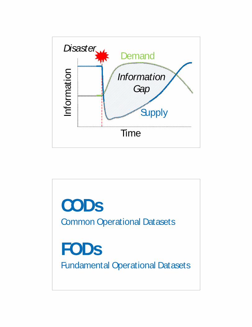
kosovo 1999: emergency gis - unescap.org
TRANSCRIPT
Issues and Challenges to Geo-referenced Information Systems in the Region
Craig Williams, Head of Information and AdvocacyOCHA Regional Office for Asia and the Pacific
16 February 2012, Bangkok
Kosovo 1999: Emergency GIS
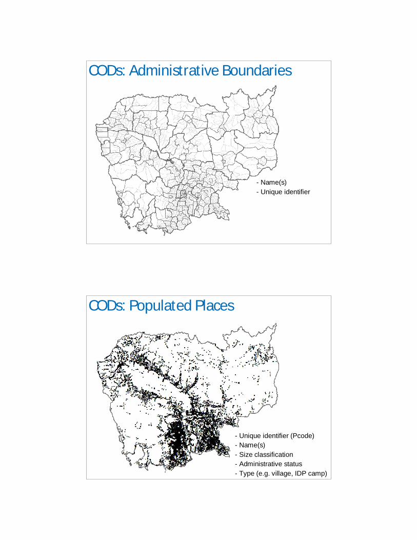
Demand
Supply
InformationGap
Time
Info
rmat
ion
Disaster
CODsCommon Operational Datasets
FODsFundamental Operational Datasets
CODs: Administrative Boundaries
- Name(s)
- Unique identifier
CODs: Populated Places
- Unique identifier (Pcode)
- Name(s)
- Size classification
- Administrative status
- Type (e.g. village, IDP camp)
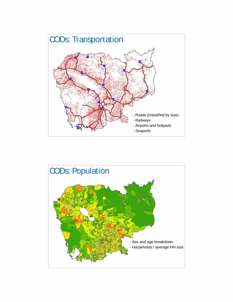
CODs: Transportation
- Roads (classified by size)
- Railways
- Airports and helipads
- Seaports
CODs: Population
- Sex and age breakdown
- Households / average HH size
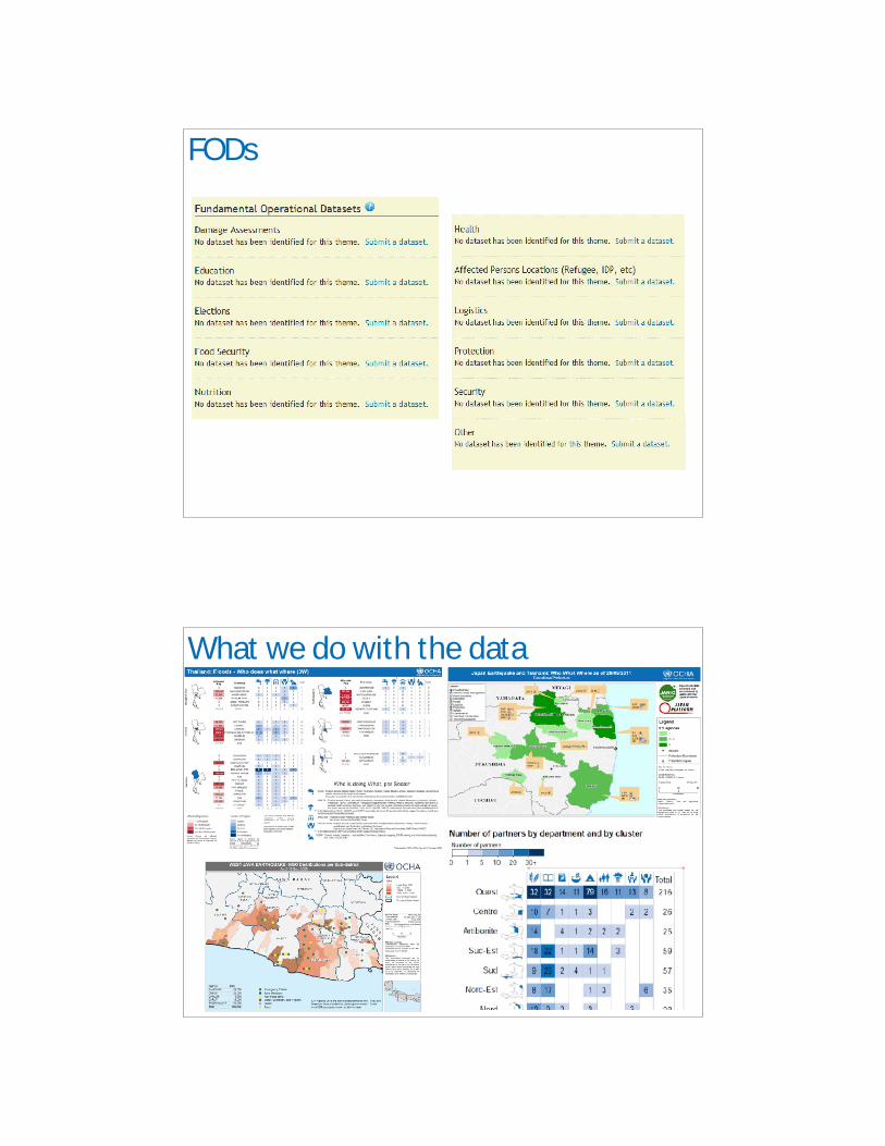
FODs
What we do with the data
November 2011 Regional IM Workshop
Statement of Practice