jeff malone. designation of conservation and protection usually based on factors such as: historical...
TRANSCRIPT

Jeff Malone
Modeling Conservation Priorities in Veracruz,
Mexico

Designation of conservation and protection usually based on factors such as:Historical significanceRecreational useScenic beautyProtection of wetlands, forests, watersheds
Biodiversity is usually NOT taken into account
The Problem

Efforts to ID gaps in biodiversity protectionMap predictions of species distributionCompare to protected areas
For example…
The Solution
Long Tailed Sabrewing

Species distribution modeling of preservation systems
For 19 bird and mammal speciesDistributions were modeledGaps in protection identified
Northeastern Mexico Case Study
Possible solution developed for enhancing protection of species
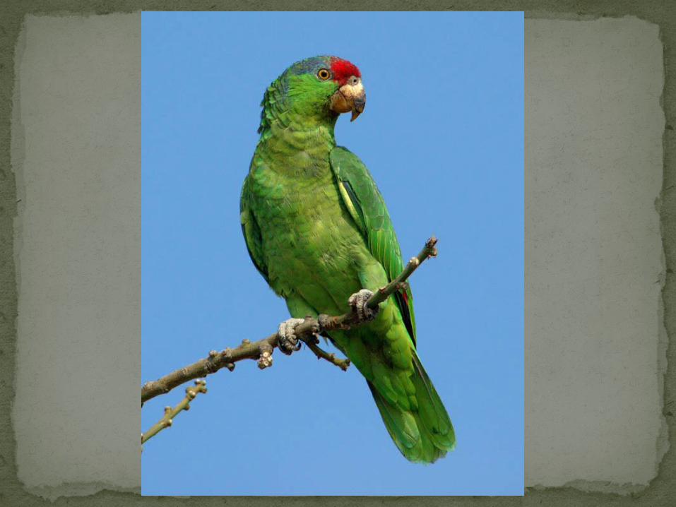
Red-Crowned Parrot

2 types of data usedSpecies distribution dataEnvironmental attribute
data (in raster GIS architecture)
Species selected have primary native habitat in Veracruz, Mexico
Selection as well as distributional data based on literature and observations
Methodology
Bearded Wood Partridge


Thematic geographic layers used to define environmental variables
Combined to create single image fileThen for each species distribution point, the
values for each geographic layer were extracted
Methodology Continued
Crimson- Collared Grosbeak
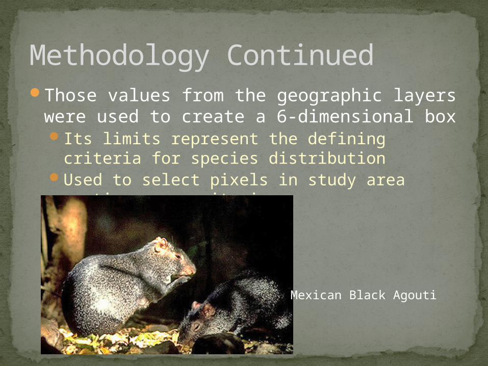
Those values from the geographic layers were used to create a 6-dimensional boxIts limits represent the defining criteria for
species distributionUsed to select pixels in study area meeting
same criteria
Methodology Continued
Mexican Black Agouti

Also known as a ‘parallelepiped’

The 6 layers a filtered through a decision ruleTo produce a predicted distribution map
Which was plausibility tested based on field knowledge
6 species were overestimated in the literatureAreas of overestimation were set to zero in the
GIS distribution maps
Methodology Continued
Tawny-Collared Nightjar

Decision Rule Filtering

Final Step: optimal reserve system was identified based on predicted distributions
Buffer was created around each predicted distributional pixel
All buffered species maps were summed to create a map of species richnessMore species in an area, higher conservation
prioritySpecies present were removed, summed
remaining species maps to ID next conservation priority
Methodology Continued

Black dots = known presenceDark gray = predicted locationLight gray = apparent overestimations

For comparison, existing protected areas were evaluated the same wayEach protected area evaluated for species
richness
Methodology Continued
Mexican Sheartail

Existing preserves buffered to 100,000 haRaster GIS overlay operation used to
compare protected areas to species richnessOf 19 species, 12 are found in currently
protected areas
Results
Dwarf Jay


Identified reserve system ignoring current one16 species in 4 reserves, all 19 in 7
reservesBut cannot ignore/scrap current
preservesAlternative is to complement
existing preserves with unprotected speciesBy adding 5 of the potential
preserves from optimal model, all 19 native species could be protected
More plausible to take a hybrid approach
Results Continued
Altamira Yellowthroat

Black dots = existing preservesDark gray = potential new preserves(1,3,5,6 and 7 combined would protect all 19 species)