its-fargis 2005 general manager february 28th 2005 new approaches in marine weather presentation and...
TRANSCRIPT

February 28th 2005
ITS-FARGIS 2005
General Manager
New approaches in marine weather presentation and dissemination
Bjørn Åge Hjøllo ([email protected])
C-MAP Marine Forecast

February 28th 2005
ITS-FARGIS 2005
C-MAP Marine Forecast AS• C-MAP Marine Forecast was established in Norway,
Bergen September 20th 2004 by C-MAP Norway AS
• C-MAP Marine Forecast’s main objectives are to:– Make available relevant meteorological and oceanographic
information to international shipping
– Develop specialized and intelligent information services for maritime decision makers based on above information and leading communication solutions
– Contribute in building a safe, efficient and sustainable international shipping
February 28th 2005
ITS-FARGIS 2005
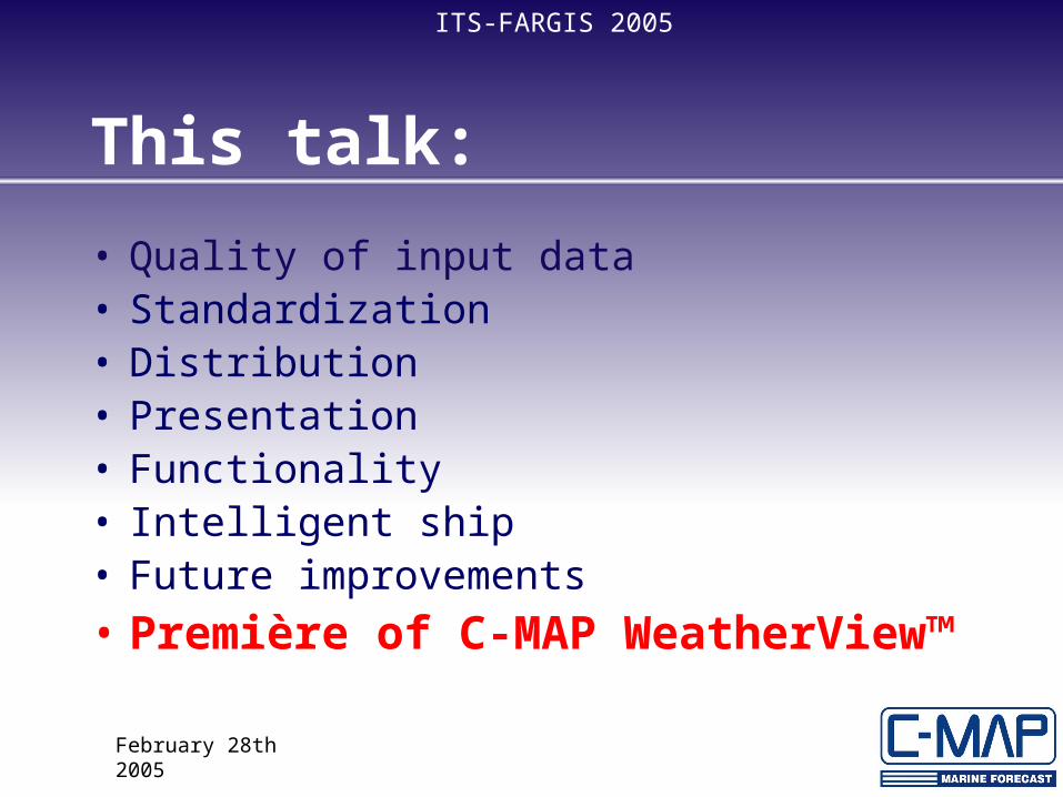
This talk:
• Quality of input data• Standardization• Distribution• Presentation• Functionality• Intelligent ship• Future improvements• Première of C-MAP WeatherView™
February 28th 2005
ITS-FARGIS 2005
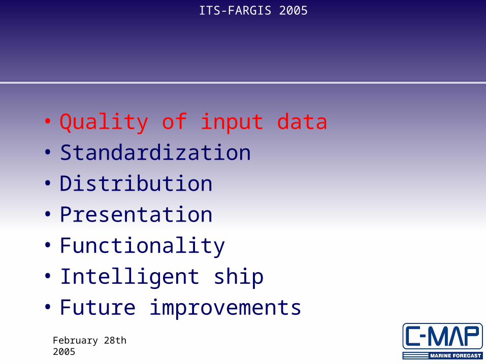
• Quality of input data• Standardization• Distribution• Presentation• Functionality• Intelligent ship• Future improvements

February 28th 2005
ITS-FARGIS 2005• Quality of input
– Global input data – ECMWF – Regional/local data from well known, regional
suppliers (in Europe e.g. met.no or Storm)

February 28th 2005
ITS-FARGIS 2005
Standardization
– WMO has recommended GRIB (GRIded Binary) to be the international distribution format
– Encryption of input data to ensure consistent format and minimum of end user hazel
– Adapt relevant standards, e.g. recommendation from MARNIS in WP 2.5

February 28th 2005
ITS-FARGIS 2005
Distribution and communication
– Minimize cost by user defined communication – http or email. Email allows splitting of data files in appropriate size maximizing download efficency
– User specification of geographical area, numbers of parameters, time step, time span and grid resolution

February 28th 2005
ITS-FARGIS 2005
• Quality of input data• Standardization• Distribution• Presentation• Functionality• Intelligent ship• Future improvements

February 28th 2005
ITS-FARGIS 2005
User tailored 2D Weather Presentation– Several units supported
• e.g for wind: knots, m/s, miles/hour and Beaufort– Customized presentation
• Grid values• Grid symbols• Contours• Filled contours

February 28th 2005
ITS-FARGIS 2005
Functionality
– Time series with cursor values– “Weather along route”
• Overlaying route on chart• Route as time series (x-axis = time & distance)
February 28th 2005
ITS-FARGIS 2005
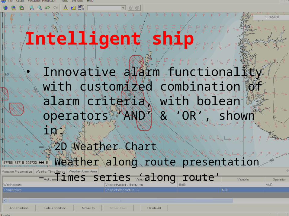
Intelligent ship
• Innovative alarm functionality with customized combination of alarm criteria, with bolean operators ‘AND’ & ‘OR’, shown in:
– 2D Weather Chart– Weather along route presentation– Times series ‘along route’
February 28th 2005
ITS-FARGIS 2005
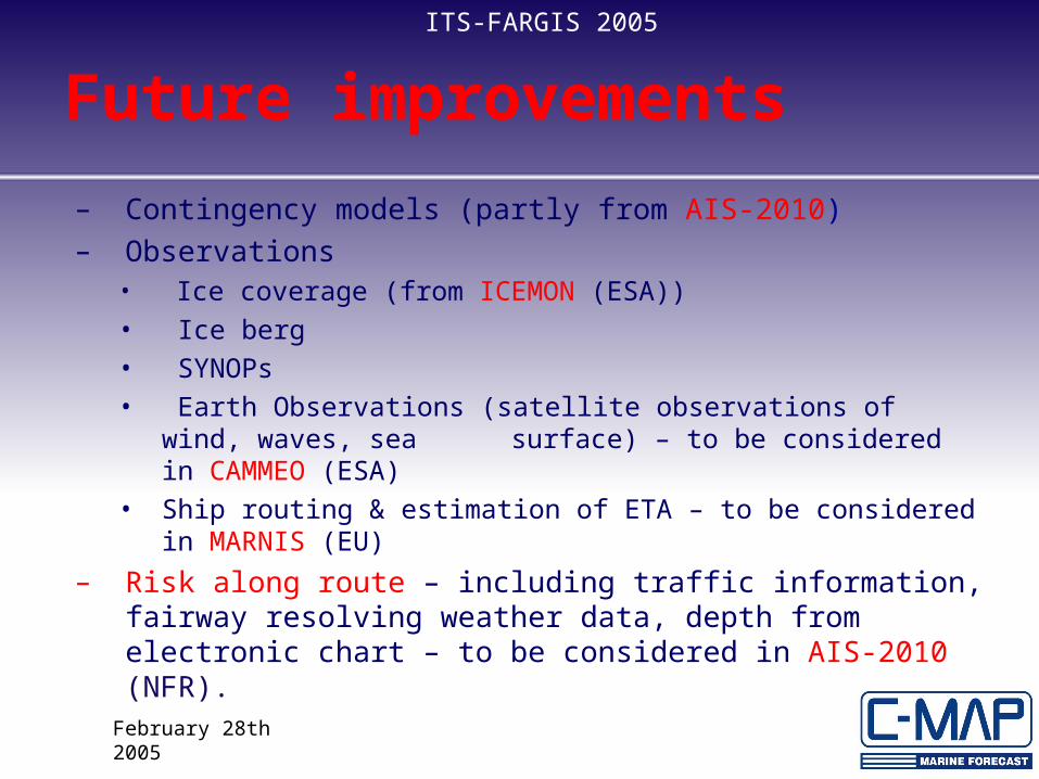
Future improvements
– Contingency models (partly from AIS-2010)– Observations
• Ice coverage (from ICEMON (ESA))• Ice berg• SYNOPs• Earth Observations (satellite observations of wind, waves, sea
surface) – to be considered in CAMMEO (ESA)• Ship routing & estimation of ETA – to be considered in MARNIS (EU)
– Risk along route – including traffic information, fairway resolving weather data, depth from electronic chart – to be considered in AIS-2010 (NFR).

February 28th 2005
ITS-FARGIS 2005
Première:
C-MAP WeatherView™