introduction to gis basic overview: what is gis, what types of data, what applications?
Post on 18-Dec-2015
232 views
TRANSCRIPT

Introduction to GIS
Basic overview: What is GIS, what types of data, what applications?

Topics GIS part of course
• Basic knowledge geography, cartography• GIS data and representation• GIS data sources and acquisition• GIS data structures• GIS analysis• GIS visualization (cartography) algorithms
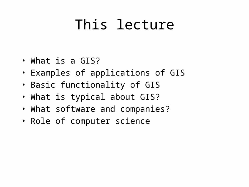
This lecture
• What is a GIS?• Examples of applications of GIS• Basic functionality of GIS• What is typical about GIS?• What software and companies?• Role of computer science

What is GIS? Definitions
• A powerful set of tools for collecting, storing, retrieving at will, transforming and displaying spatial data from the real world (Burrough, 1986)
• A system for capturing, storing checking, manipulating, analysing and displaying data which are spatially referenced to the Earth (Dept. of Environment, 1987)
• An information technology which stores, analyses, and displays both spatial and non-spatial data (Parker, 1988)

Definitions, continued
• A database system in which most of the data are spatially indexed, and upon which a set of procedures operated in order to answer queries about spatial entities in the database (Smith et al., 1987)
• A decision support system involving the integration of spatially referenced data in a problem solving environment (Cowen, 1988)

Differences Similarities
• Set of tools• System• Database system• Decision support
system• Also: A technology
• Spatial data is essential• At the least an aid for
input, storage, manipulation, analysis and visualization of data


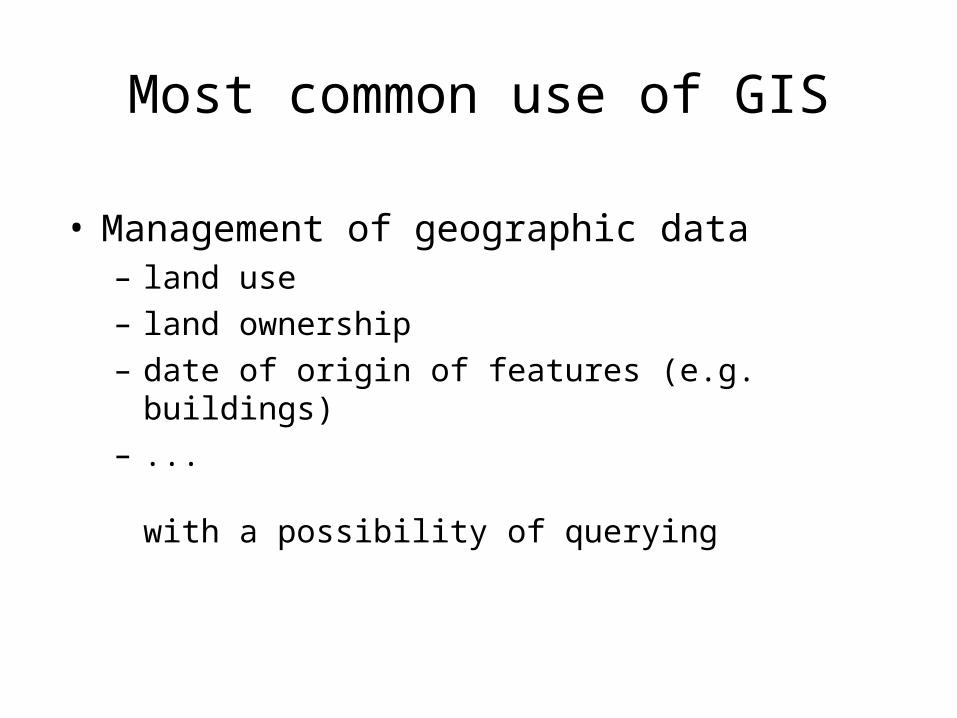
Most common use of GIS
• Management of geographic data– land use– land ownership– date of origin of features (e.g. buildings) – ...
with a possibility of querying

Important example use
• Site planning: find locations that satisfy a combination of properties (e.g. for VINEX locations):– not built up– not forest– near a train station– at least 8 km2
– ...


What is typical about GIS?
• Applications are spatial
• Problems are not well-defined: multiple criteria must be met simultaneously, concepts often not well-defined (e.g. Groene Hart, surroundings of Arnhem)
• Data is unreliable, expensive to get, sometimes outdated, sometimes only partially relevant, difficult to integrate, ...
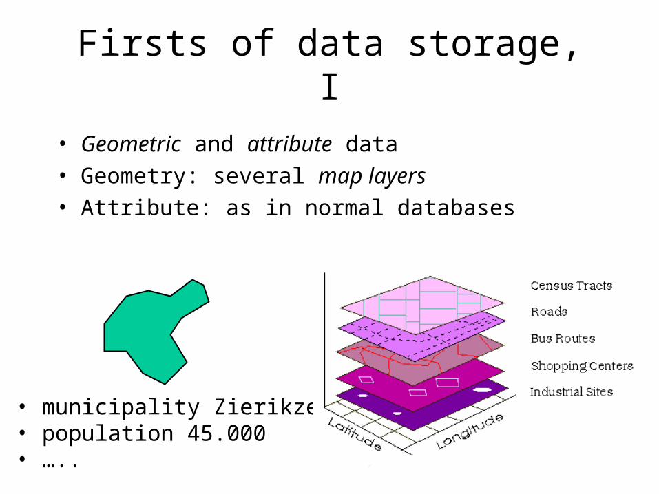
Firsts of data storage, I
• Geometric and attribute data• Geometry: several map layers• Attribute: as in normal databases
• municipality Zierikzee• population 45.000• …..

Firsts of data storage, II
• Geometry: vector and raster representation
(4.234 Lon, 52.671 Lat)
(4.237 Lon, 52.674 Lat)
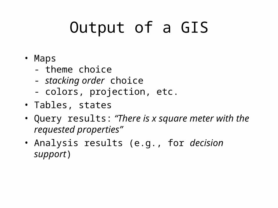
Output of a GIS
• Maps- theme choice- stacking order choice- colors, projection, etc.
• Tables, states• Query results: “There is x square meter with
the requested properties” • Analysis results (e.g., for decision support)

Another example use and output

More examples
• Pollution• Natural disasters• Management (road, water,...)• Planning
earthquakes and break lines
outcome of air pollution analysis

GIS in the Netherlands: data
• Cadastral offices (GBKN)• Topographic Service
(TOP10vector, raster)• Road and Water
Management (NWB)• Elevation (AHN)• Subsurface (TNO)• Pollution data,
health data (TNO, RIVM)• Census bureau:
CBS (statistical data)• Companies (road networks)

Actueel Hoogtebestand
• Data comes with metadata– Average error 5 cm– Standard deviation 15 cm– Filtering of houses, trees, cars, ...
Price: 200.000,- for the original data points; 100.000,- for the 5m grid

Cadastre/Topographic Service
TOP10vector TOP10roads
Subscription per 1 km2: 13,32For all of NL: 401.000,- 288.000,-

Cadastre/Topographic Service
TOP50raster TOP250raster
TOP10rasterwithout text
TOP10rasterwith text

GIS in the Netherlands: users
• RIVM• Cadastre• TNO (defense, security and safety; built
environment and geosciences)• Alterra (agricultural research)• Rijkswaterstaat (ministery of VROM)• Companies• Universities (research): physical and human
geography, cartography, archeology, biology, meteorology, geophysics, geology, ….

Application areas: general
• Socio-economic/ government– Health– Local government– Transport planning– Service planning– Urban management
• Utilities– Network management– Service provision– Telecommunications– Emergency repairs
• Commerce & business– Market share analysis– Insurance– Fleet management– Direct marketing– Target marketing– Retail site location
• Environment– Pollution monitoring– Natural hazard
assessment– Resource management– Environmental impact
assessment
GIS in the Netherlands: research
• ITC: International Institute for Aerospace Survey and Earth Sciences (Enschede)
• Universities (e.g., Delft, Utrecht, Wageningen)

GIS: types of companies
• GIS, general software (ESRI, Intergraph, MapInfo, Oracle, Tensing)
• Route planners (TomTom, Garmin, Magellan)
• Internet (geographic search engines/geographic IR, Google Maps/Earth, MapQuest, ...)
• Data services, training, consultancy, applications
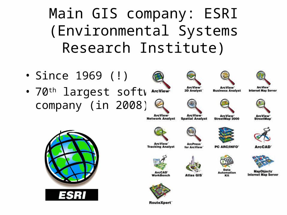
Main GIS company: ESRI (Environmental Systems
Research Institute)
• Since 1969 (!)• 70th largest software
company (in 2008)

Software of ESRI
• ArcGis: GIS• ArcView: desktop mapping• ArcExplorer: GIS data viewer and query tool via
map• MapObjects: library to add GIS functionality to
Windows applications • Spatial Database Engine: client/server software to
adjoin GIS to existing DBMS (Oracle, Sybase, Microsoft SQL server, …)
• ArcLogistics, ArcCAD (GIS functionality in AutoCAD), ArcFM (facilities management), NetEngine (network analysis), Maplex (label placement)

Software of ESRI for Internet
• ArcIMS (Internet Mapping Solutions): GIS• ArcView IMS (Internet Map Server): desktop
mapping on the Internet• MapObjects IMS: library to add GIS
functionality to Windows applications

Software with GIS features
• Desktop mapping (Freehand, Map Maker, PolyMap)
• Car Navigation Systems (TomTom, Garmin, Magellan)
• Landuse Information Systems• Software for (geo)statistics, interpolation
(SYSTAT)

Computer science issues of GIS
• Databases• (Geometric) algorithms• Graphics, scientific visualization• Knowledge technology, decision support
systems• Combinatorial optimization• Interface design