interagency unmanned aircraft systems project aviation
TRANSCRIPT

Interagency Unmanned Aircraft Systems
Project Aviation Safety Plan Template
V 4.1 - 1/1/20

Interagency Project Aviation Safety Plan
Requesting Agency
BLM
USFS
Cooperator
Other
Unit, Field Office, or District
Project Purpose
Prescribed Fire
Resource Project
Other
Comments
Project Name Start Date End Date
Project Location - Descriptive
Project Location Center Point - Lat/Lon (DDD MM.MMM)
Project Area Land Status (ownership) - Attach area and aerial hazard maps.
Prepared by Title Date
Reviewed by Date
Reviewed by Date
Reviewed by Date
Approved by Date
1
Title
Title
Title
Title

Project Objectives
Project Justification
Contact Information
Agency Administrator Desk Phone Cell Phone E-mail
Requesting Unit Project Manager Desk Phone Cell Phone E-mail
UAS Crew Leader Desk Phone Cell Phone E-mail
UAS Remote Pilot Desk Phone Cell Phone E-mail
UAS Remote Pilot Desk Phone Cell Phone E-mail
UAS Data Specialist Desk Phone Cell Phone E-mail
UAS Visual Observer Desk Phone Cell Phone E-mail
Dispatch Center Desk Phone Cell Phone E-mail
State/Region Aviation Manager Desk Phone Cell Phone E-mail
Unit/Forest Aviation Manager Desk Phone Cell Phone E-mail
Other: Desk Phone Cell Phone E-mail
2

Financial Information Management Code
Additional Coding Information/Stipulations
Procurement
Agency Owned and Operated
Contract UAS Flight
Comments:
Comments:
Equipment and Supplies Other:
UAS Crew Time Total Estimated Cost
Projected Costs
Contract UAS Estimate
Agency Cost Estimate
Aircraft/Sensors
UAS Crew Travel
Aircraft Information
UAS Type
Fixed Wing
Rotor Wing (VTOL)
UAS Make UAS Model
Registration (N) # Color SchemeCarded for Mission
Yes
No
Card Expiration Date
Additional Aircraft/Comments/Special Considerations:
3

UAS Crew Information
Remote Pilot
Remote Pilot Current RP Card
Yes
No
Card Expiration Date
Remote Pilot Current RP Card
Yes
No
Card Expiration Date
Flight Crewmember Current RP Card
Yes
No
Card Expiration Date
Flight Crewmember Current RP Card Yes
No
Card Expiration Date
Additional Crew Information
4
Yes
No
Current RP Card Card Expiration Date

Flight Following and Radio Frequencies
Flight Following Procedure:
Primary Repeater Name and Location
Receive Tone Transmit Tone
Transmit Tone
Airspace Information
5
Secondary Repeater Name and Location
Receive Tone
Primary Air to Air Frequency Secondary Air to Air Frequency Crew Net/Tactical Frequency
TFR Information
MTR Information
SUA Information

Additional Airspace Considerations
Airspace Authorization
Authorization Type Authorization Comments
Protective Equipment and Safety Considerations
UAS crew members will utilize PPE required by their crew position.
First aid kit, hearing protection, fire extinguisher, and other necessary equipment will be available on site.
The UAS flight crew and participants will conduct a Project Aviation Safety briefing and complete a Preflight Briefing Checklist at the beginning of each operational period.
The UAS flight crew will adhere to DOI flight time and duty day policy.
UAS flight crew will maintain a safe operating distance from manned and unmanned aircraft.
Visual observers will be used as required/requested.
Injuries due to aircraft, lost aircraft, damage to aircraft, system anomalies, or flyaway will be reported via the SAFECOM system. Mishaps will be reported by calling 1-888-464-7427.
A post flight debriefing or AAR will be conducted at the end of each day by the UAS Crew Leader.
Additional Safety Considerations
6
Part 107
107/LAANC
SGI Waiver
FAA/DOI MOA
Lost Link and Flyaway Procedure/Protocol

Additional Information/Notes/Comments
7

UAS Risk Assessment Worksheet Assess the risks involved with the proposed operation. Use additional sheets if necessary. Line Officer/Designee Signature Required
Risk Assessment Matrix Severity
Likelihood Negligible IV
Marginal III
Critical II
Catastrophic I
Frequent A
Probable B HIGH 4
Occasional C Serious 3
Remote D Medium 2
Improbable E LOW 1
Appropriate Management Level for Risk Decisions Risk Level Fire Project
High Incident Commander or Operations Sections Chief/designee Line Officer/State Aviation Manager
Serious Incident Commander or Operations Sections Chief/designee Line Officer/State Aviation Manager
Medium Air Operations Branch Director/designee Unit Aviation Manager
Low UAS Remote Pilot UAS Remote Pilot
Severity Scale Definitions Catastrophic Mishap results in fatalitiesCritical Severe injury/irreparable UAS damageMarginal Minor injury/minor UAS damageNegligible No injuries/UAS damage
Likelihood Scale Definitions
Frequent Individual Fleet
Likely to occur often. Continuously experienced.
Probable Individual Fleet
Will occur several times. Will occur often.
Occasional Individual Fleet
Likely to occur sometime. Will occur several times.
Remote Individual Fleet
Unlikely to occur, but possible. Unlikely but can reasonably be expected to occur.
Improbable Individual Fleet
So unlikely, it can be assumed it will not occur. Unlikely to occur, but possible.

Assess the risks involved with the proposed operation. Use additional sheets if necessary.
Describe the Hazard: Pre-Mitigation hazards rate out as: Likelihood A-E
Severity I-IV
Risk Level
1.Collision with another aircraft D I 3 2. Collision with personnel or vehicles C II 3
D I 3 B II 3
10. Operating aircraft outside of published parameters
B II 3
9. Battery fire
D II 2 C II 3
4. Aircraft flyaway (loss of control)
C II 3
C II 3 C III 2
8. Night operations
Pre-Mitigation Overall Rating:
Mitigations: Post Mitigation hazards rate out as:
Likelihood A-E
Severity I-IV
Risk Level
1. The remote pilot will utilize a visual observer (VO)who will scan the area for air traffic and other hazards toaviation. The remote pilot will file a NOTAM as per DOI/FAA policy. Flights within TFRs will be coordinated withthe controlling authority and participating aircraft. Theremote pilot will give way to manned aircraft.
E I 2
2. The remote pilot will conduct a pre-flight briefing whichwill include flight patterns and safe observation/parkingareas. The remote pilot will not fly the UAS over personnelor vehicles. D II 2
E IV 1
7. Adverse Weather (wind, thunderstorms, etc.)6. Injury caused by spinning propellers5. Aircraft loss of link with ground control station
3. Collision with a fixed aerial hazard
3. The remote pilot will conduct a survey of theoperations area prior to flight operations.

4. Aircraft, personnel and ATC having jurisdiction overthe airspace will be notified with the last location,heading, speed and approximate battery/time remainingof the UAS. The crew actions to recover the UAS will berelayed as well.
D IV 1
5. UAS will be programmed to return to home and land C IV 1 6. Preflight briefing will include safety precautions whenworking around UAS with motors running.
E II 1
C IV 1 7. Remote pilot will obtain a current forecast and ensurethe aircraft is flown withing approved parameters. The crewwill monitor weather conditions periodically during flights.8. The UAS will have DOI approved lighting. The launchand recovery area will be well lit.
D II 2
D III 1
Post-Mitigation Overall Rating:
9. Batteries will be stored in approved containers. A fireextinguisher will be available on site.
10. The remote pilot will ensure the aircraft is operatedwithin policy and the provisions of the aircraft operationsmanual.
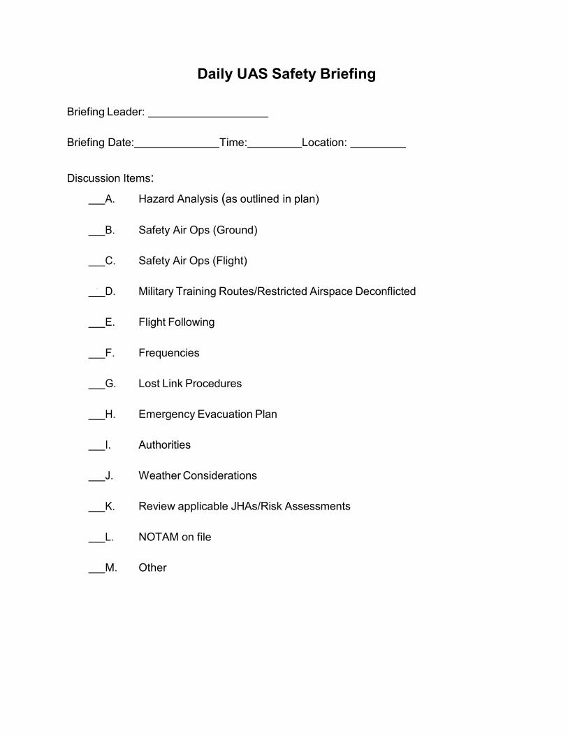
Daily UAS Safety Briefing
Briefing Leader:
Briefing Date: Time: Location:
Discussion Items: A. Hazard Analysis (as outlined in plan)
B. Safety Air Ops (Ground)
C. Safety Air Ops (Flight)
D. Military Training Routes/Restricted Airspace Deconflicted
E. Flight Following
F. Frequencies
G. Lost Link Procedures
H. Emergency Evacuation Plan
I. Authorities
J. Weather Considerations
K. Review applicable JHAs/Risk Assessments
L. NOTAM on file
M. Other

Daily UAS Mission Checklist A. Chain of command, individual roles and responsibilities are identified to
all participants?Yes No NA
B. Project Aviation Safety Plan is approved and signed at the appropriate levels? Yes No NA C. Is the emergency evacuation plan reviewed? Yes No NA D. Are all elements in place to track the UAV at all times? Yes No NA E. Can terrain, altitude, temperature or weather that could have an adverse
effect be mitigated?Yes No NA
F. Are all aerial hazards identified and known to all participants? Yes No NA G. Have ground operations hazards and safety been identified to all participants? Yes No NA H. Have mitigating measures been taken to avoid conflicts with military or
civilian aircraft?Yes No NA
I. Have adequate landing areas been identified and or improved to minimumd d ?
Yes No NA J. Are all agency personnel qualified for the mission? Yes No NA K. Are there enough (qualified) agency personnel to accomplish the mission safely? Yes No NA L. Is the pilot carded and experienced for the mission to be conducted? Yes No NA M. Will adequate briefings be conducted prior to flight with all participants? Yes No NA N. Is the aircraft capable of performing the mission with a margin of safety? Yes No NA O. Does the aircraft have the capability to perform the mission based on
predicted weather conditions?Yes No NA
P. Is the aircraft properly carded? Yes No NA Q. Do all personnel have the required PPE? Yes No NA R. Remember; maps of areas/sites, handheld radios, cell phones. Yes No NA S. Are pilot flight and duty times compromised? Yes No NA T. Is there an alternative method that would accomplish the mission more safely? Yes No NA U. Have the proper approvals been given by FAA? Yes No NA V. If flying in Restricted Airspace, has notification been made with controlling
authority prior to launching sUAS?Yes No NA
W. Other? (identify) NOTAM on File Yes No NA X. Other? (identify) Aerial Hazard Map reviewed Yes No NA Y. Other? (identify) Dispatch notified of flights Yes No NA
Identify Corrections (if any):
UAS Crew Leader Signature:
Date:

Project Maps (Land Status/FAA Sectional/Flight Hazard)

UAS Operations Map