images of luapula of zambia
TRANSCRIPT


The Luapula River “Mukuku” bridge … on “tuta” road… from Serenje to The Luapula River “Mukuku” bridge … on “tuta” road… from Serenje to SamfyaSamfya
Was constructed under the Zambia-China Economic cooperation Was constructed under the Zambia-China Economic cooperation Programme. Programme.
Was officially opened on 19Was officially opened on 19thth August 1983 by His Excellency Kenneth August 1983 by His Excellency Kenneth Kaunda (first Republican President)Kaunda (first Republican President)
The bridge is approximately 3km in length.The bridge is approximately 3km in length.
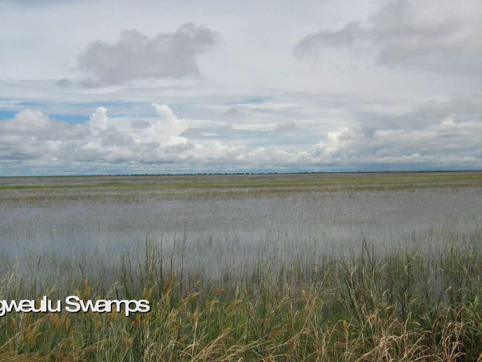
Bangweulu SwampsBangweulu Swamps

Samfya beach on lake BangweuluSamfya beach on lake Bangweulu
Bangweulu— is one of the world's great wetland systems, comprising Lake Bangweulu, the Bangweulu Swamps and the Bangweulu floodplain… . Situated in Luapula and Northern Provinces of Zambia.
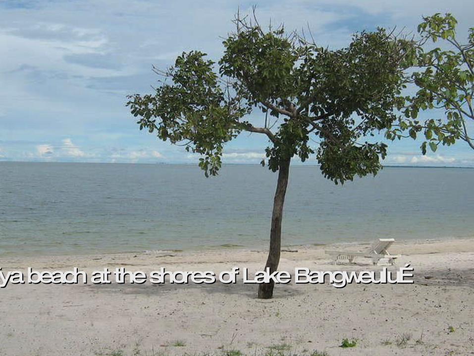
Samfya beach at the shores of Lake Bangweulu…Samfya beach at the shores of Lake Bangweulu…

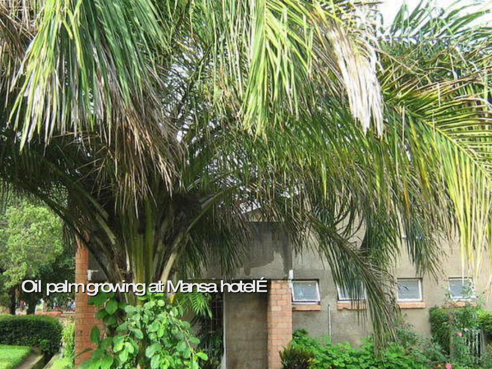
Oil palm growing at Mansa hotel… Oil palm growing at Mansa hotel…

Oil palm field in Mwense … Oil palm is Oil palm field in Mwense … Oil palm is widely in Luapula valley widely in Luapula valley
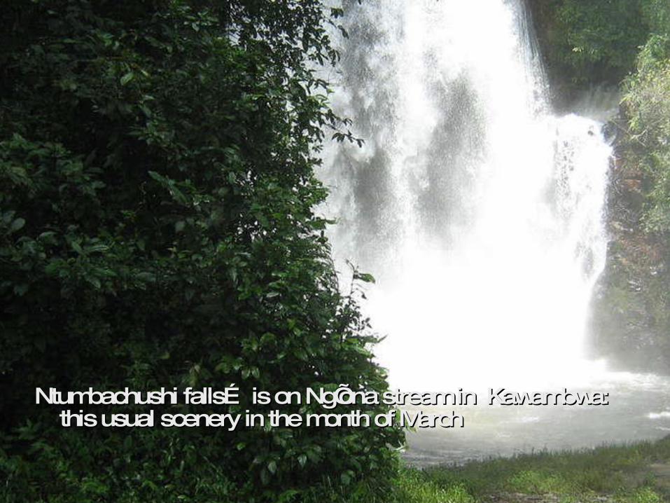
Ntumbachushi falls… is on Ng’ona stream in Kawambwa: Ntumbachushi falls… is on Ng’ona stream in Kawambwa: this usual scenery in the month of Marchthis usual scenery in the month of March

Ntumbachushi falls… and its surrounding vegetationNtumbachushi falls… and its surrounding vegetation

Ntumbachushi falls… “extension”Ntumbachushi falls… “extension”
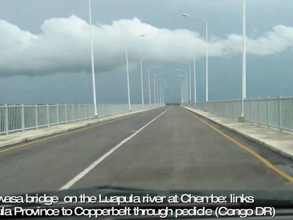
Mwanawasa bridge on the Luapula river at Chembe: links Mwanawasa bridge on the Luapula river at Chembe: links Luapula Province to Copperbelt through pedicle (Congo DR)Luapula Province to Copperbelt through pedicle (Congo DR)

The shores of Lake Mweru in NchelengeThe shores of Lake Mweru in Nchelenge

Sand beach in Chienge… lake Sand beach in Chienge… lake MweruMweru

Fishers’ boats at the shores of lake Mweru in ChiengeFishers’ boats at the shores of lake Mweru in Chienge

[email protected]@hotmail.com
Images of Luapula of Zambia
End of PresentationEnd of PresentationThank you for your interestThank you for your interest