gold fields limited agnew gold mine · gold fields limited agnew gold mine plan showing mine...
TRANSCRIPT

Page w
idth 208 mm
Page w
idth 205 mm
Gold Fields LimitedAgnew Gold Mine
Plan showing mine infrastructure as at 31 December 20121 0 1 3 5
Kilometres
Map Grid of Australia Co-ordinate System
Agnew Mining Lease . . . . . . . . . . . . . . .
Agnew Prospecting Licence . . . . . . . . . .
Agnew Exploration Licence . . . . . . . . . .
Tailings/Leach Pad . . . . . . . . . . . . . . . . .
Open Pit . . . . . . . . . . . . . . . . . . . . . . . . .
Waste Dump . . . . . . . . . . . . . . . . . . . . . .
Roads . . . . . . . . . . . . . . . . . . . . . . . . . . .
Reference

Gold Fields LimitedSt Ives Gold Mine
Plan showing mine infrastructure as at 31 December 20120 2 4 6 8
Kilometres
Map Grid of Australia Co-ordinate System
Reference
Lease Outline . . . . . . . . . . . . .
Gold Rights only . . . . . . . . . . .
Stockpiles . . . . . . . . . . . . . . . .
Tailings/Leach Pad . . . . . . . . .
Waste Dump . . . . . . . . . . . . . .
Pits-Inactive . . . . . . . . . . . . . .
Pits-Active . . . . . . . . . . . . . . .
Pits-Proposed . . . . . . . . . . . . .
U/G Mines . . . . . . . . . . . . . . .
Towns . . . . . . . . . . . . . . . . . . .
Buildings . . . . . . . . . . . . . . . . .
Sealed Roads . . . . . . . . . . . . .
Unsealed Roads . . . . . . . . . . .
Page w
idth 208 mm
Page w
idth 205 mm
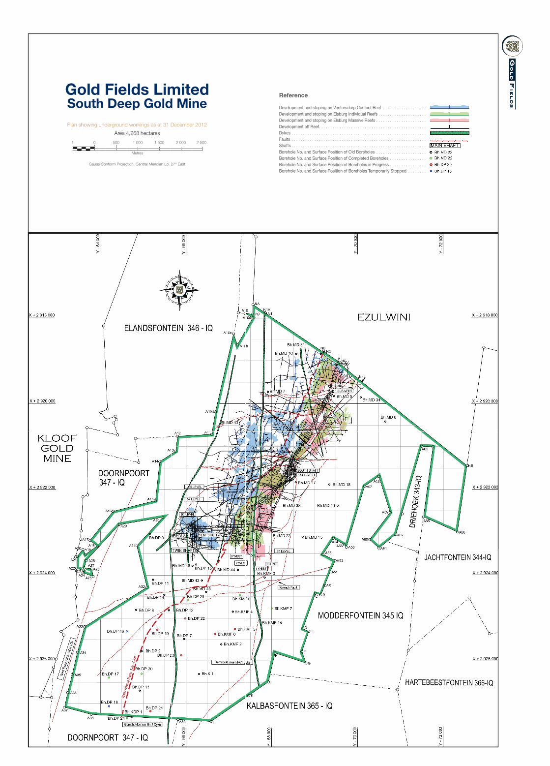
Gold Fields LimitedSouth Deep Gold MinePlan showing underground workings as at 31 December 2012
Area 4,268 hectares
1 0 500 1 000 1 500 2 000 2 500
Metres
Gauss Conform Projection. Central Meridian Lo. 27° East
Development and stoping on Ventersdorp Contact Reef . . . . . . . . . . . . . . . . . . .Development and stoping on Elsburg Individual Reefs . . . . . . . . . . . . . . . . . . . . .Development and stoping on Elsburg Massive Reefs . . . . . . . . . . . . . . . . . . . . . .Development off Reef. . . . . . . . . . . . . . . . . . . . . . . . . . . . . . . . . . . . . . . . . . . . . . .Dykes . . . . . . . . . . . . . . . . . . . . . . . . . . . . . . . . . . . . . . . . . . . . . . . . . . . . . . . . . . .Faults . . . . . . . . . . . . . . . . . . . . . . . . . . . . . . . . . . . . . . . . . . . . . . . . . . . . . . . . . . .Shafts . . . . . . . . . . . . . . . . . . . . . . . . . . . . . . . . . . . . . . . . . . . . . . . . . . . . . . . . . . .Borehole No. and Surface Position of Old Boreholes . . . . . . . . . . . . . . . . . . . . . .Borehole No. and Surface Position of Completed Boreholes . . . . . . . . . . . . . . . .Borehole No. and Surface Position of Boreholes in Progress . . . . . . . . . . . . . . . .Borehole No. and Surface Position of Boreholes Temporarily Stopped . . . . . . . .
Reference
Page w
idth 208 mm
Page w
idth 205 mm

Gold Fields LimitedCerro Corona Mine
Plan showing mine infrastructure as at 31 December 2012500 0 500 1 000
MetresProvisional South American datum 56
Page width 208 mm Page width 205 mm
Project Boundary . . . . . . . .Open pit . . . . . . . . . . . . . . .Tailings Dam . . . . . . . . . . . .Waste Dump . . . . . . . . . . . .Quarry . . . . . . . . . . . . . . . . .Top Soil Dump . . . . . . . . . .Blankets . . . . . . . . . . . . . . .
Reference
Oxide Stockpile . . . . . . . . .Office . . . . . . . . . . . . . . . . .Rivers . . . . . . . . . . . . . . . . .Roads . . . . . . . . . . . . . . . . .Powerline . . . . . . . . . . . . . .
Low Volume Underflow (LVU)

Gold Fields LimitedDamang Gold Mine
Plan showing mine infrastructure as at 31 December 20121 0.5 0 1 2 3 4 5
Kilometres
Ghana National Grid Co-ordinate System
Mining lease . . . . . . . . . . . . . . . . . . . . . . . . . . . . . . . . . . . . . . . . . . . . . . . . . . . . . . . . . . . . . .
Mining lease Lima South . . . . . . . . . . . . . . . . . . . . . . . . . . . . . . . . . . . . . . . . . . . . . . . . . . . .
Prospecting Licenses (PL) . . . . . . . . . . . . . . . . . . . . . . . . . . . . . . . . . . . . . . . . . . . . . . . . . . .
Tailings Storage Facility . . . . . . . . . . . . . . . . . . . . . . . . . . . . . . . . . . . . . . . . . . . . . . . . . . . . .
Open Pit . . . . . . . . . . . . . . . . . . . . . . . . . . . . . . . . . . . . . . . . . . . . . . . . . . . . . . . . . . . . . . . . .
Waste Dump. . . . . . . . . . . . . . . . . . . . . . . . . . . . . . . . . . . . . . . . . . . . . . . . . . . . . . . . . . . . . .
Roads . . . . . . . . . . . . . . . . . . . . . . . . . . . . . . . . . . . . . . . . . . . . . . . . . . . . . . . . . . . . . . . . . . .
National Railway. . . . . . . . . . . . . . . . . . . . . . . . . . . . . . . . . . . . . . . . . . . . . . . . . . . . . . . . . . .
Exploration Sites/Projects . . . . . . . . . . . . . . . . . . . . . . . . . . . . . . . . . . . . . . . . . . . . . . . . . . .
Damang has the area from surface to 30m below . . . . . . . . . . . . . . . . . . . . . . . . . . . . . . . . .
Tarkwa has the area from below 30m . . . . . . . . . . . . . . . . . . . . . . . . . . . . . . . . . . . . . . . . . .
Reference
Page w
idth 208 mm
Page w
idth 205 mm

Gold Fields LimitedTarkwa Gold Mine
Plan showing mine infrastructure as at 31 December 2012
Page w
idth 208 mm
Page w
idth 205 mm