gis in teaching and learning in soil science dr. jeffrey g. white, asst. prof. dept. of soil...
Post on 19-Dec-2015
214 views
TRANSCRIPT
GIS in Teaching and Learning in Soil Science
Dr. Jeffrey G. White, Asst. Prof.
Dept. of Soil Science-NCSU
http://www.precisionag.ncsu.edu
SSC-CS-BAE
DEPARTMENT of SOIL SCIENCE
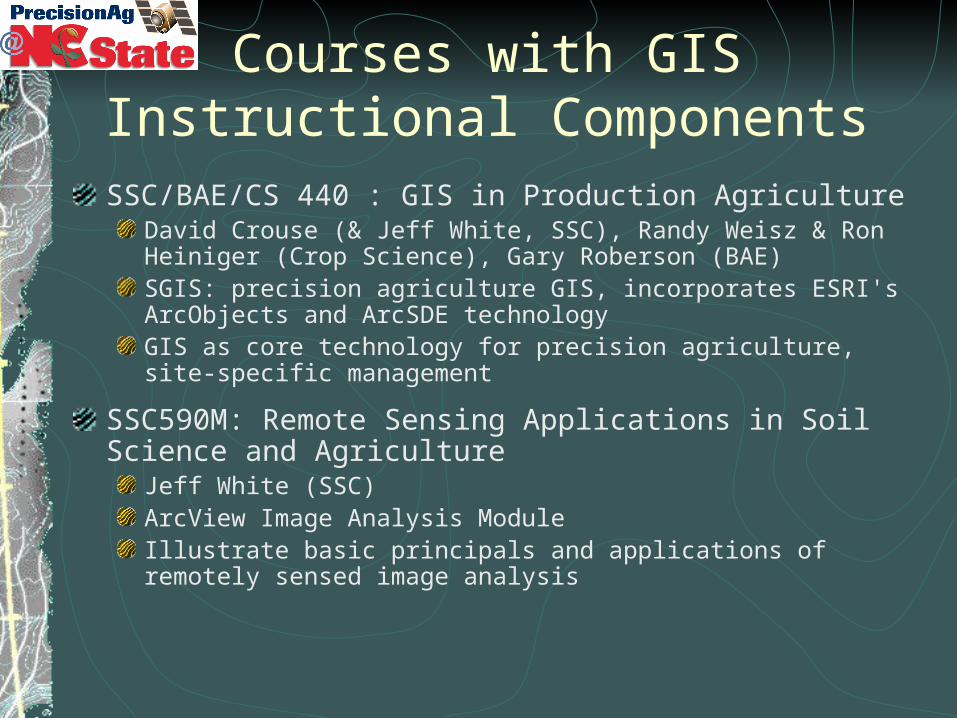
Courses with GIS Instructional ComponentsSSC/BAE/CS 440 : GIS in Production Agriculture
David Crouse (& Jeff White, SSC), Randy Weisz & Ron Heiniger (Crop Science), Gary Roberson (BAE)SGIS: precision agriculture GIS, incorporates ESRI's ArcObjects and ArcSDE technologyGIS as core technology for precision agriculture, site-specific management
SSC590M: Remote Sensing Applications in Soil Science and Agriculture
Jeff White (SSC)ArcView Image Analysis ModuleIllustrate basic principals and applications of remotely sensed image analysis
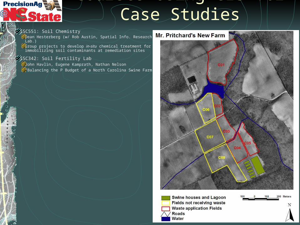
Courses Using GIS for Case StudiesSSC551: Soil Chemistry
Dean Hesterberg (w/ Rob Austin, Spatial Info. Research Lab.)Group projects to develop in-situ chemical treatment for immobilizing soil contaminants at remediation sites
SSC342: Soil Fertility LabJohn Havlin, Eugene Kamprath, Nathan Nelson “Balancing the P Budget of a North Carolina Swine Farm”
NCSU Geospatial and Precision Technologies Regional Education Initiative
GPTREI: David Crouse, PI; Jared Jenkins, Ext’n. Assoc.
Funded by USDA-IFAFS
Objectives:Initiate new and expand existing extension programs to include geospatial and precision agriculture technologiesEnhance problem-solving skills in students and agricultural professionalsEnable learners worldwide to access GIS technology education through an open courseware Internet training program.
Info: http://www.precisionag.ncsu.edu/GPTREI/index.htm
“OpenAg” portal: http://gptrei.soil.ncsu.edu/
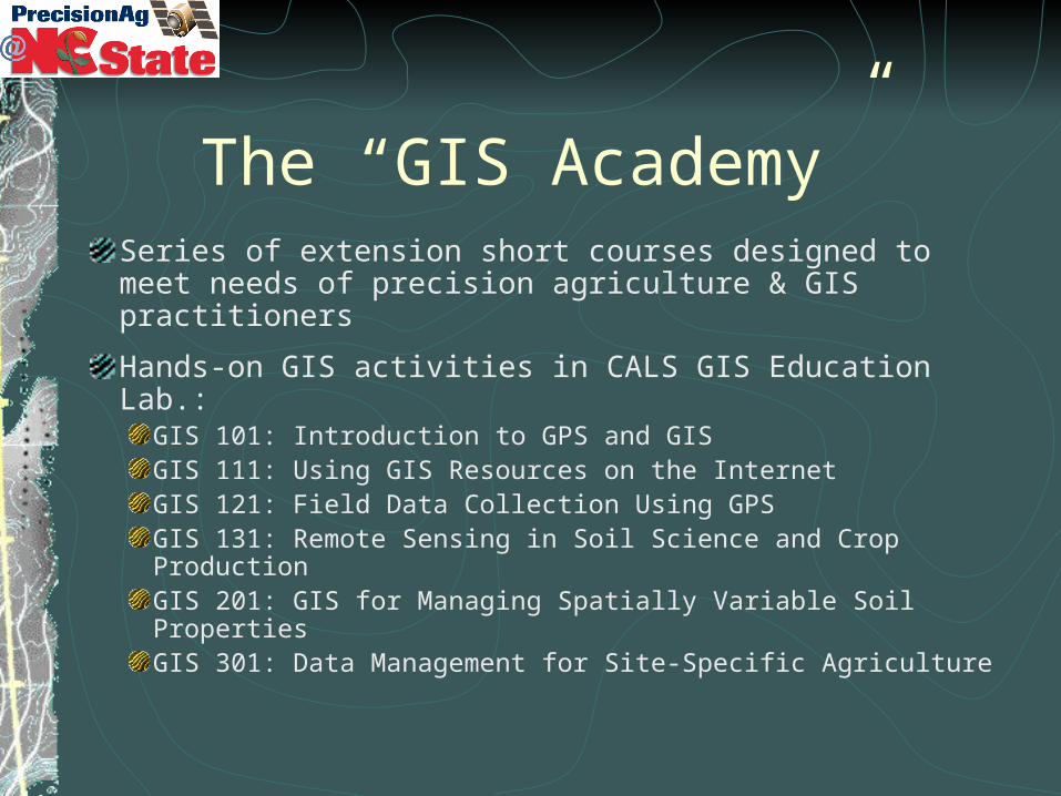
The “GIS Academy”Series of extension short courses designed to meet needs of precision agriculture & GIS practitioners
Hands-on GIS activities in CALS GIS Education Lab.:GIS 101: Introduction to GPS and GIS GIS 111: Using GIS Resources on the Internet GIS 121: Field Data Collection Using GPS GIS 131: Remote Sensing in Soil Science and Crop ProductionGIS 201: GIS for Managing Spatially Variable Soil Properties GIS 301: Data Management for Site-Specific Agriculture
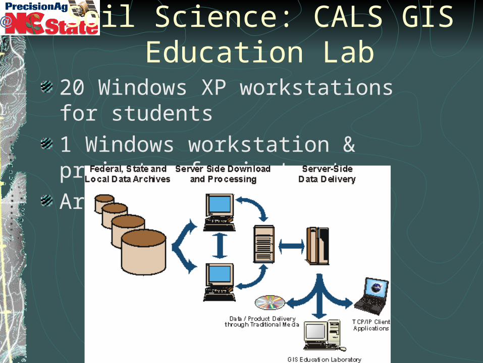
Soil Science: CALS GIS Education Lab20 Windows XP workstations for students 1 Windows workstation & projector for instructor ArcGIS, ArcView, and SGIS
GIS Lab: Current Data HoldingsDigital county soil maps for most of NC
Digital soil attribute data National MUIR: Map Unit Interpretation Records SSURGO: Soil Survey Geographic Database
Statewide summer and winter Landsat TM imagery '93, '94, '95, Winter 2000
Statewide SPOT panchromatic (10 m) imagery
Custom-developed, hydrologically enforced DEM maps
Statewide EPA Reach File 3 hydrography
Numerous derived data layers to characterize environmental risks of N, P, and pesticides

SSC-CALS Spatial Information Laboratory Data Distribution System
Internet-based GIS data distribution system
MOA with NCCGIA to serve their data
Provide relevant natural resources GIS data layers to NC Cooperative Extension Service personnel, CALS students, faculty.
Data layers queried by county: 1m resolution black and white DOQQssoil surveyshydrography datadigital elevation dataprimary streets and roads
http://www.spatiallab.ncsu.edu/sirl
Spatial Info. Research Lab ActivitiesTerrain Analysis at Multiple Scales
Effects on terrain attribute calculation and quantitative soil-landscape modeling.
NC Nutrient Management Database ProjectInternet-based nutrient utilization reporting system Provides assessment of animal waste nutrients and waste nutrient carrying capacities of NC countieswww.spatiallab.ncsu.edu/nutman
NC Soils ExplorerGeospatial & Precision Technologies Regional Education InitiativeCustom designed ArcIMS application for on-line soils exploration. >90 GB spatial data for all 100 countieshttp://arcims.soil.ncsu.edu:8080/Website/CtyMaps/index.htm

1 meter color infraredwith soils overtop
Can now identify soil properties
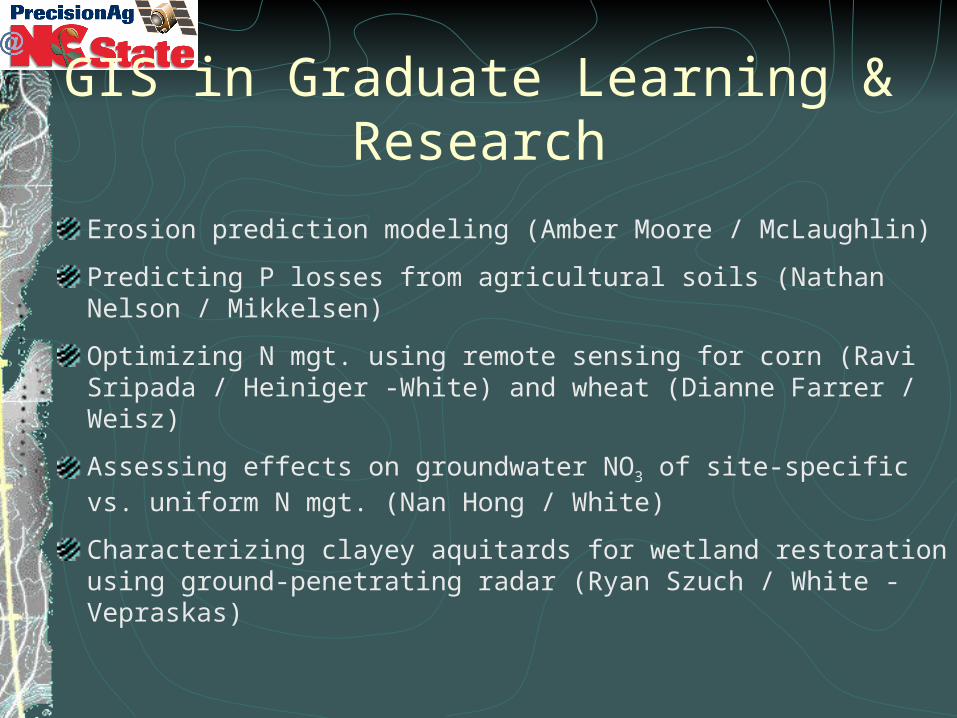
GIS in Graduate Learning & Research
Erosion prediction modeling (Amber Moore / McLaughlin)
Predicting P losses from agricultural soils (Nathan Nelson / Mikkelsen)
Optimizing N mgt. using remote sensing for corn (Ravi Sripada / Heiniger -White) and wheat (Dianne Farrer / Weisz)
Assessing effects on groundwater NO3 of site-specific vs. uniform N mgt. (Nan Hong / White)
Characterizing clayey aquitards for wetland restoration using ground-penetrating radar (Ryan Szuch / White - Vepraskas)
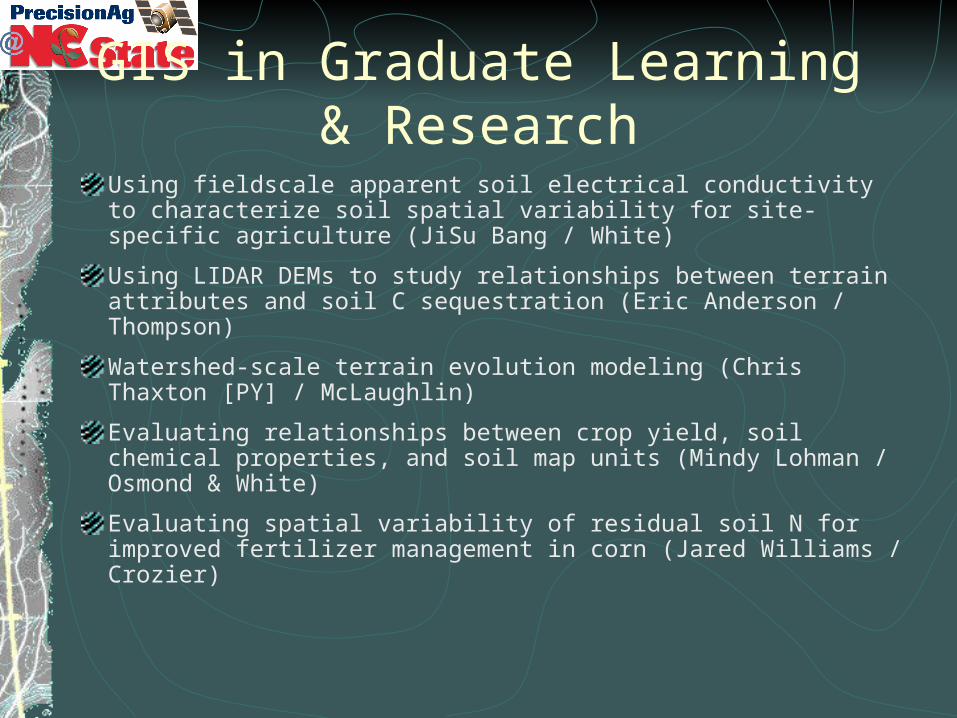
GIS in Graduate Learning & ResearchUsing fieldscale apparent soil electrical conductivity to characterize soil spatial variability for site-specific agriculture (JiSu Bang / White)
Using LIDAR DEMs to study relationships between terrain attributes and soil C sequestration (Eric Anderson / Thompson)
Watershed-scale terrain evolution modeling (Chris Thaxton [PY] / McLaughlin)
Evaluating relationships between crop yield, soil chemical properties, and soil map units (Mindy Lohman / Osmond & White)
Evaluating spatial variability of residual soil N for improved fertilizer management in corn (Jared Williams / Crozier)
Questions or Comments?