gis at columbia university friday, may 6 th 2005 speakers: doug miller jeremiah trinidad
TRANSCRIPT

GIS at Columbia UniversityFriday, May 6th 2005
Speakers:
Doug Miller
Jeremiah Trinidad

What is GIS?
A systems of hardware, A systems of hardware, software, data, people, software, data, people, organizations, and organizations, and institutional arrangements institutional arrangements for collecting, storing, for collecting, storing, analyzing, disseminating analyzing, disseminating information about areas of information about areas of the earth the earth
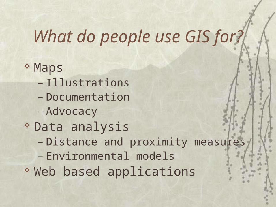
What do people use GIS for?
Maps– Illustrations– Documentation– Advocacy
Data analysis– Distance and proximity measures– Environmental models
Web based applications


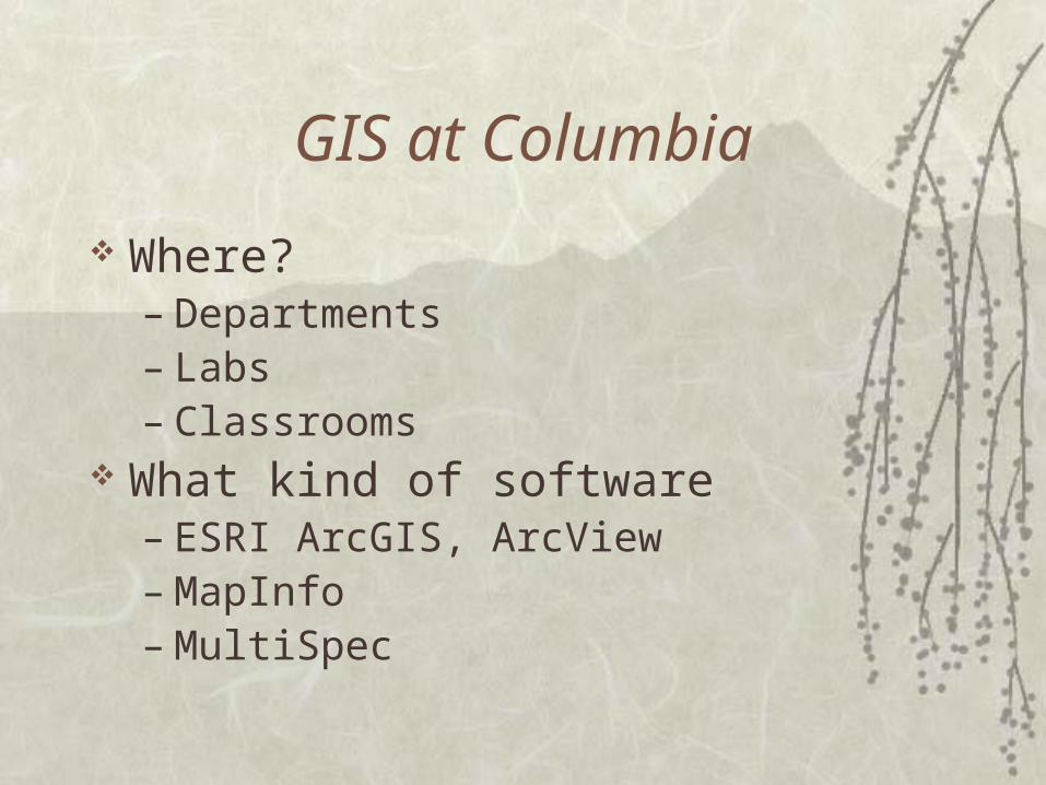
GIS at Columbia
Where?– Departments– Labs– Classrooms
What kind of software– ESRI ArcGIS, ArcView– MapInfo– MultiSpec

Academic Quality Fund (AQF)
History – Interdisciplinary Collaboration Who’s involved Webpage Summer Fellows StartGIS Metadata
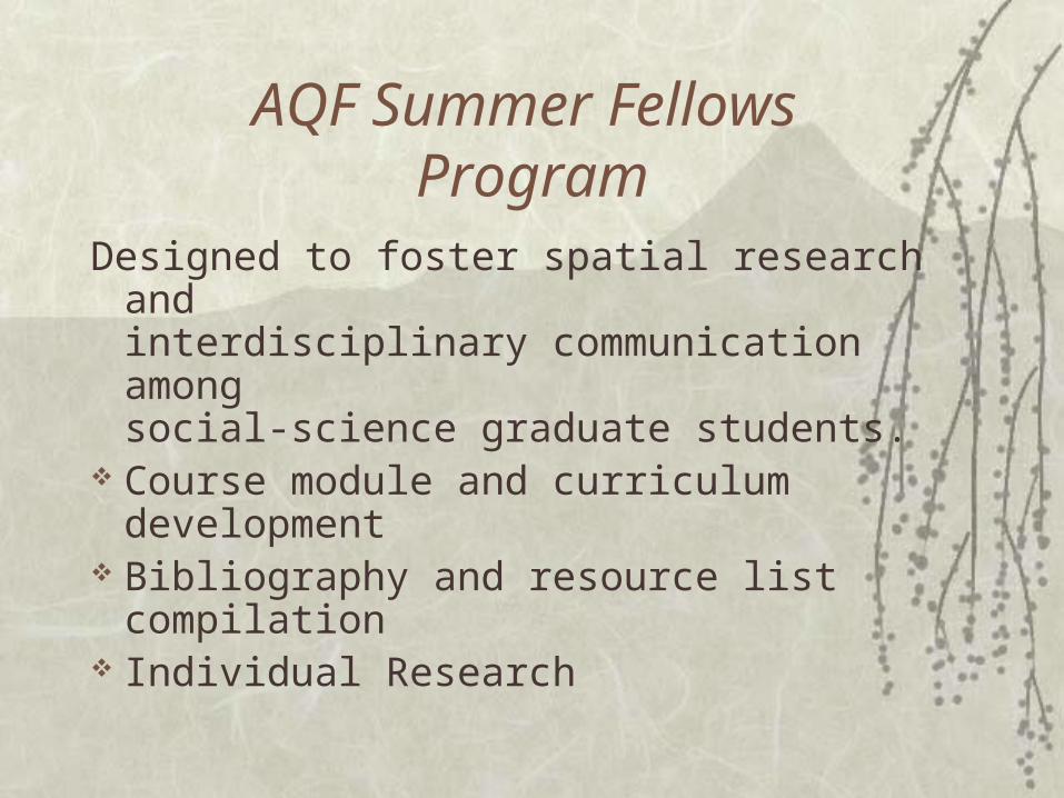
AQF Summer Fellows Program
Designed to foster spatial research and interdisciplinary communication amongsocial-science graduate students.
Course module and curriculum development
Bibliography and resource list compilation
Individual Research

Summer Fellows
Anthropology – Heather Atherton Economics – Francesco Brindisi GSAPP – Michelle McEwen Journalism – Laura Forlano Political Science – Jeronimo Cortina Public Health – Cynthia Golembeski Sociology – Emily Bernstein Social Work – Amanda Geller Teachers College – Heather Schwartz

StartGIS Project
Grad Assistant jointly managed between ISERP & the Libraries
Help with creating short term mapping & spatial analysis
Available to faculty, graduate students, and other Columbia/Barnard researchers

StartGIS Project
Who has used the service?– Economics
– East Asian Languages and Cultures
– Middle East Institute
– Political Science
– Sociology
– Social Work
– Weatherhead East Asian Institute
What are they using it for?
As part of the AQF grant, free GIS support was offered to help people start using GIS in
their research
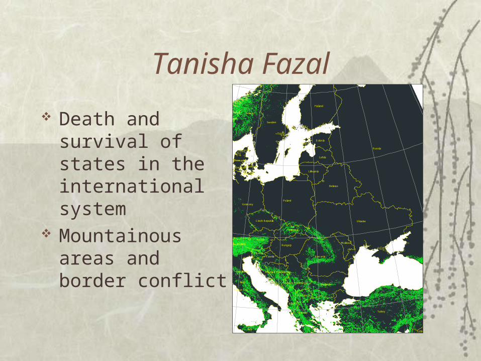
Tanisha Fazal
Death and survival of states in the international system
Mountainous areas and border conflict
Russia
Ukraine
Turkey
Poland
Italy
Sweden
Finland
Belarus
Romania
Germany
Norway
Bulgaria
Greece
Austria
Hungary
Latvia
Croatia
Lithuania
Slovakia
Estonia
Czech Republic
Italy
Serbia & Montenegro
Moldova
Albania
Slovenia
Macedonia
Syria
Denmark
Bosnia & Herzegovina
Denmark
Denmark
Estonia
Denmark
Denmark
Switzerland
San Marino
Vatican City
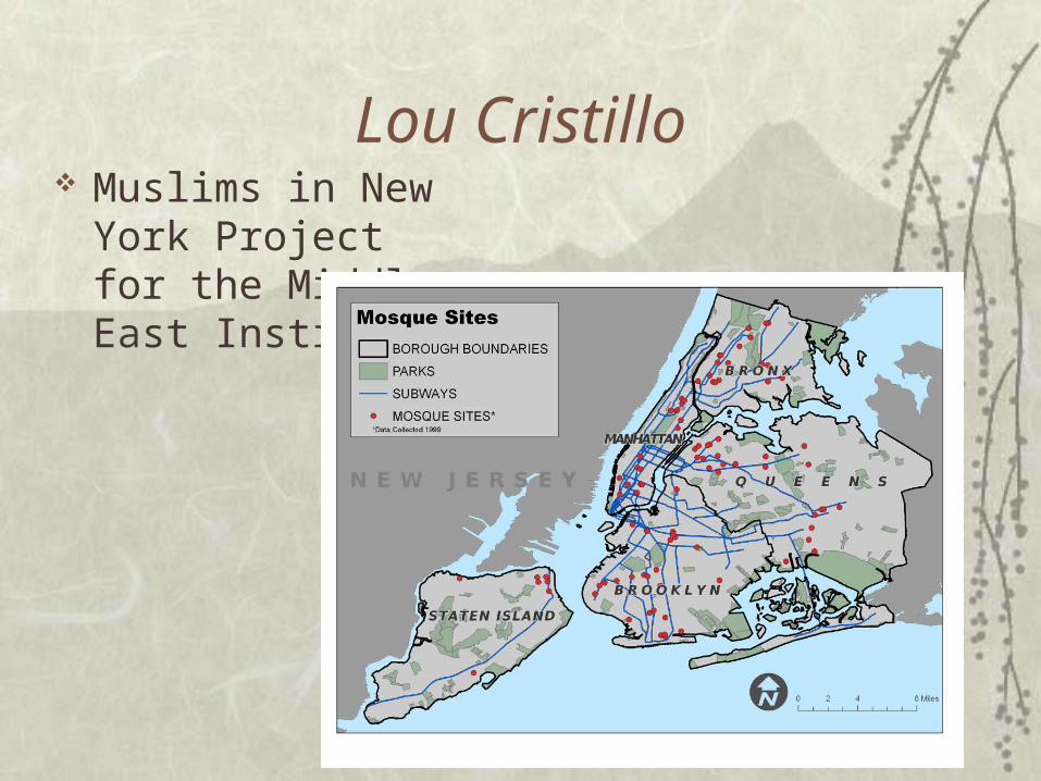
Lou Cristillo Muslims in New York
Project for the Middle East Institute

Metadata
What is metadata?– Data about data
Using FGDC metadata standard Urban Planning and Libraries creating
metadata for spatial layers Goal – a spatial metadata catalog

GIS Workshops
Attendance Audience Topics Process Speakers Results Requests
Sudan
Angola
EthiopiaNigeria
Mauritania
Zambia
Somalia
Botswana
Congo
Uganda
Benin
Liberia
Sierra Leone
Lesotho
Equatorial Guinea
Comoros
Seychelles
0 500 1,000 1,500 2,000
Kilometers
±
Plotted Coupe Attempts3
2
1
None or no data
Introduction to GIS(Creating a Choropleth Map)
0 1 2 3 40.5
Miles
4
total felonies512 - 1640
1641 - 2363
2364 - 3200
3201 - 5148
5149 - 9487
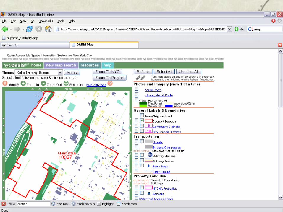
Working with NYC Spatial Data
0 400,000 800,000200,000Meters
´Legend
co99_d000.2% - 1.5%
1.6% - 3.4%
3.5% - 8.6%
8.7% - 25.4%
25.5% - 50.9%
US Census and GIS
West
95th
94th
91st
96th
90th
97th
93rd
89th92nd
Broa
dway
100th
Wes
t End
109th
108th
105th104th
107th
106th
Amst
erda
m
88th
Col
umbu
s
87th
Cen
tral P
ark
Man
hatta
n
99th
Riv
ersi
de
8th
98th
102nd
Cathedral
Hen
ry H
udso
n
101st
86th
103rd
111th
East
97th St Transverse
113th115th
114th
112th
85th
Mor
ning
side
110th
West 103rd
Central Park Gr Hill
Poman
der
Mo
rningside
101st
112th
102nd
113th
111th
103rd
Geocoding Using ArcGIS
Basic Spatial Analysis Concepts

GIS Librarians Professional Meeting
When was it? What schools attended?
– Yale, University of Maryland, Cornel, MIT, Brown, NYPL
What did we talk about?– Comparison of programs and
services– How GIS offered in the
Libraries fits in with whole campus
– Problems and challenges faced

GIS Librarians Professional Meeting
What will the next step be?– NYPL will host next years
meeting– Will work with Cornell
and possibly MIT on Metadata Conference

Future of GIS at Columbia
Spatial metadata catalog GIS project competition Survey Research Center with GIS
capabilities Dedicated GIS modeling lab for the social
Sciences