from user requirements analysis to conceptual design of a mobile … · 2016-05-25 · 2 overview...
TRANSCRIPT

Faculty of Geo-Information Science and Earth Observation (ITC)
From User Requirements Analysis to Conceptual Design of a Mobile Augmented Reality Tool to be used
in an Urban Geography Fieldwork Setting
Xiaoling Wang, Corné P.J.M. van Elzakker, Menno-Jan Kraak
2016 AAG Annual Meeting, 31 March, 2016 | San Francisco, USA
2
Overview
• Background
• Hypothesis
• Research objectives
• User-Centered Design (UCD)
• From user requirements to conceptual design
• Functionality descriptions and interfaces
• Future work

3
Background - Geography fieldwork
The educational geography fieldwork here:
Human-oriented
Learning-oriented
Urban
Undergraduate
My understanding of the structure of the fieldwork area from a geographic (spatial and temporal) perspective during the fieldwork ……………………

4
Background
(Enschede, The Netherlands,1923) (Enschede, The Netherlands,2016)
• The dimensions of space and time are fundamental frames for human’s perception
of a physical area.

5
The combined use of geovisualizations and augmented reality could improve geographical understanding.
What is augmented reality (AR)?
Hypothesis
ICTs: Information and Communication Technologies

6
(Mobile) augmented reality(AR)
Physical real-world environment
Augmented reality Augmentation Reality= +
Device generated contextual data
Augmentation
Reality
Example of mobile based AR applications
Layar
Wikitude
Junaio
Aurasma
Google Goggles
cameraGPS
compassaccelerometer
wireless connectivity
• A vast potential to be used in situational education, like geography fieldwork

7
How does augmented reality(AR) work?
8
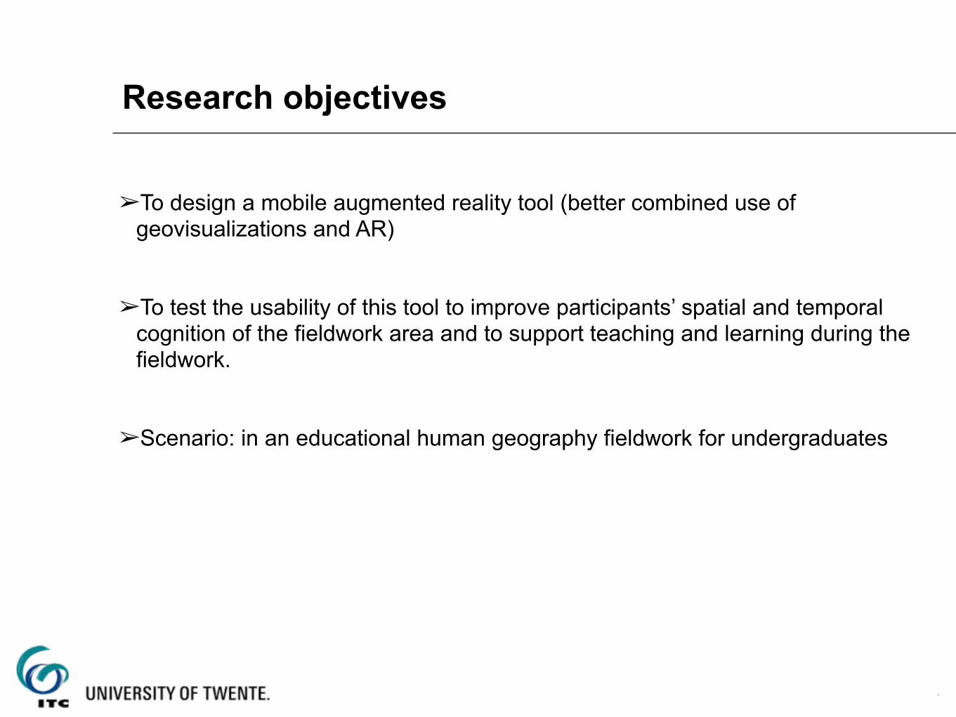
Research objectives
➢To design a mobile augmented reality tool (better combined use of geovisualizations and AR)
➢To test the usability of this tool to improve participants’ spatial and temporal cognition of the fieldwork area and to support teaching and learning during the fieldwork.
➢Scenario: in an educational human geography fieldwork for undergraduates

9
The approach of User-Centered Design (UCD)

10
User requirement analysis
1. In a real educational human geography fieldwork in China (observation, interview, questionnaire survey) 2. From online survey among UGhent undergraduates
• Students’ profile (age, gender, educational background)? • How do students and teachers conduct the fieldwork currently? • The current problems? • Expectations?

11
From user requirements to conceptual designThe earlier stage of conceptual design is that applying the user requirements
to make functional specifications.
➢Summary of user requirements
• Hardware: smartphone; Android system (first consideration);
• Collecting various field data (notes, voice, field walking routes);
• Labeling geo-‐locations of those field collected data;
• Optionally viewing various visualizations (street layer, satellite layer, 3D street view,
etc.) of the fieldwork area;
• Group interactions;
• Location-‐based contents recommendations;
• Displaying readable contents on the screens of mobile phones;
The user requirements can be abstracted to describe the main functionalities of the tool.

12
Components
• AR browser • Mobile maps with street layer, satellite layer • Photos, old maps • Texts • ……

13
Functionality descriptions and interfaces
• In AR view, overlay elements of both points and lines (i.e., roads) with labeling and enable retrieving detailed information (texts, pictures, old maps) in a new interface.
• In map view, provide Google Maps or OpenStreetMap, with an option to switch among street view, satellite view and 3D view. And display the markers that are also shown in the AR view.

14
• Provide input option for users to collect photos and notes as POIs, and display and visualize those collected data in both map view and AR view with markers to indicate that field data is collected in those locations.
Click the marker to take photos and notesThis is the central building.……
Functionality descriptions and interfaces

15
• Provide an export option for users to visualize the collected data in desktop-‐based Google Maps or OpenStreetMap after the fieldwork
Functionality descriptions and interfaces

16
• Group interaction: sharing locations, photos, sending messages
Functionality descriptions and interfaces

17
Functionality descriptions
• Offline all the contents of the fieldwork area in advance

18
Future work

19
Feedback? Suggestions ?
• Functionalities, Interfaces, Development • Better support spatial and temporal cognition in geography fieldwork