evidence for plate tectonics seafloor mapping using sonar initiated during world war ii provided...
TRANSCRIPT

Evidence for Plate TectonicsSeafloor mapping using sonar initiated during World War II provided evidence of drifting continents
This caused scientists to reexamine continental drift
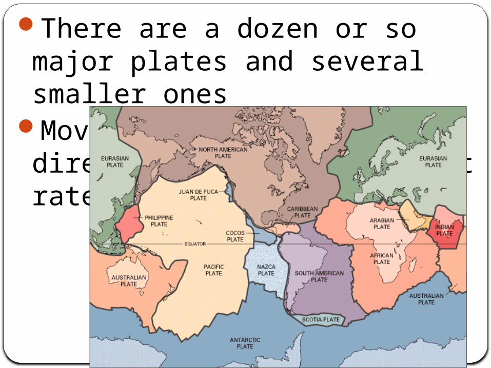
There are a dozen or so major plates and several smaller ones
Move in different directions and at different rates

Sea floor SpreadingSeafloor mapping revealed mid-ocean ridges and ocean trenches
Harry Hess (1960) proposed the idea of seafloor spreading
Ocean crust is created at mid-ocean ridge
It is split and carried away then replaced by rising magma

Sea-floor Spreading and Plate Boundaries

Older ocean floor is destroyed at oceanic trench (deepest parts of the ocean)
The plate bends downward and slowly plunges back into the earth in a process called subduction
This takes place at the subduction zone
Most earthquakes occur at edges of plates (plate boundaries)


Sea-floor Spreading and Plate Boundaries
Plate Boundaries
Where plates interact3 types

Break up of Pangaea

Lithosphere plate boundaries
Fig. 3-20

1. Divergent BoundariesPlaces where 2 plates are moving apart
Most found on the seafloor, where they form ocean ridges
Where new ocean crust is formed (basalt)

High heat flow, volcanism, and earthquakes
Causes an ocean basin to grow wider
Can occur on a continent, such as East Africa (Rift Valley)
May eventually lead to formation of a new ocean
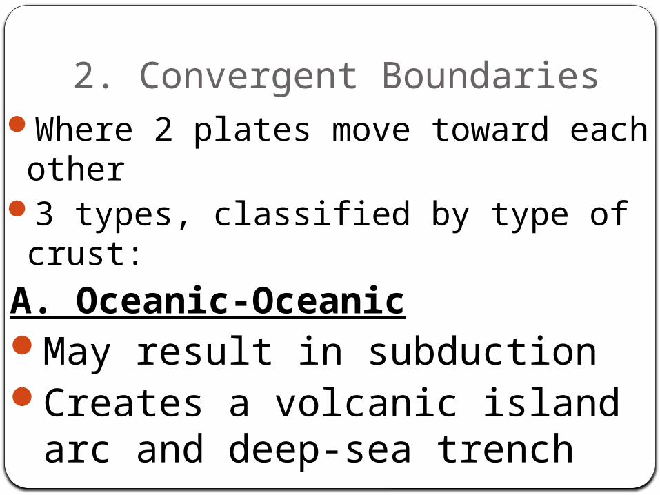
2. Convergent BoundariesWhere 2 plates move toward each other
3 types, classified by type of crust:
A. Oceanic-OceanicMay result in subductionCreates a volcanic island arc
and deep-sea trench


B. Oceanic-ContinentalSubduction of oceanic produces a
trench and a volcanic arc (mountain range on continent)
C. Continental-ContinentalForms mountain ranges such as
the Himalayas

Converging Margins: India-Asia Collision

Sea-floor Spreading and Plate Boundaries
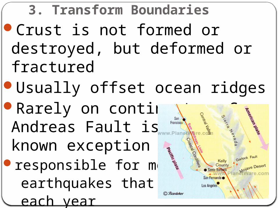
3. Transform BoundariesCrust is not formed or destroyed, but deformed or fractured
Usually offset ocean ridgesRarely on continents – San Andreas Fault is the best known exception
responsible for most of the earthquakes that strike CA each year

Transform Faults