eg1106: gi: a primer field & survey data collection 19 th november 2004
TRANSCRIPT
EG1106: GI: a primer
Field & Survey data collection19th November 2004
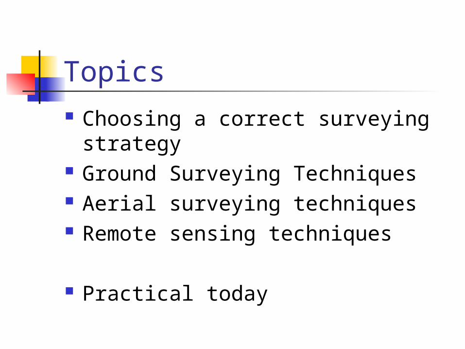
Topics Choosing a correct surveying
strategy Ground Surveying Techniques Aerial surveying techniques Remote sensing techniques
Practical today
TOPIC 1Choosing a correct surveying strategy

Choosing a correct surveying strategy It is important to ask “What is the
nature of the end product?” also “What format and level of accuracy do we require?”
We may select a surveying strategy that is best suited to these questions
One other important consideration is scale which determines our choice of field equipment

Choosing a correct surveying strategy Sometimes ignorance of existing
resources (such as good aerial photographs) leads to un-necessary fieldwork
Conversely, it would not be appropriate to use remotely sensed images or aerial photos if a high resolution study was required for a local area

TOPIC 2Ground Surveying Techniques
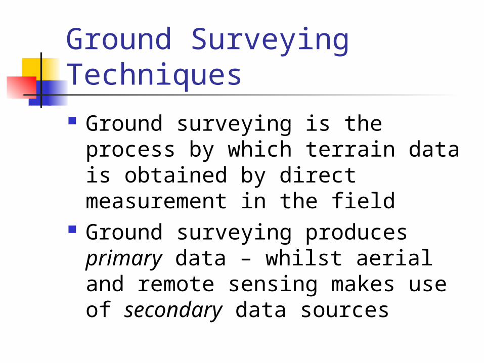
Ground Surveying Techniques Ground surveying is the process by
which terrain data is obtained by direct measurement in the field
Ground surveying produces primary data – whilst aerial and remote sensing makes use of secondary data sources
Ground Surveying Techniques We must work within a framework
– the bounds of which may be measured using tapes
Smaller regions within the framework can be surveyed in greater detail
For efficient resurvey or change detection work, it is important to have a strong control framework

Ground Surveying Techniques
Types of framework

Ground Surveying Techniques
Offset or rectangular fixing method:

Ground Surveying Techniques Independent checks – either by using a
different method or by a different observer ensure no serious errors arise.
The best type of check is one that is independent of the measurement
e.g. if two angles in a triangle are measured, the third may be found by subtraction from 180º. By measuring the third angle an independent check is available.

Ground Surveying Techniques
Planimetric (plane figure) information only
Height and slope information only Combined planimetric and height
information
Field survey work can provide:
Ground Surveying Techniques Triangulation is a method of fixing points
within a coordinate system Where 2 points are known (these could
be landmarks or accurately determined control points) we can assess the position of a third point
All angles in a triangle must add to a total of 180º: know 2 angles and you can calculate the third easily by subtraction
Ground Surveying Techniques There are many other types of ground
survey technique Trilateration, radiation, traversing etc Instruments such as theodolites,
clinometers, abney levels, sighting levels and alidades etc allow precise field measurements to be made
Techniques used for vertical (slope) measurements are more complex and won’t be discussed here.

Ground Surveying Techniques
Measurements of slope angles and vertical change is more complex and requires an array of field equipment
TOPIC 3Aerial Surveying Techniques
Aerial surveying techniques Ground surveys are required for
detailed information and where the bounds of the survey are localised
Some studies do not require such precision or accuracy – and may cover a much greater geographical area
For these studies, money permitting, an aerial survey can be used.
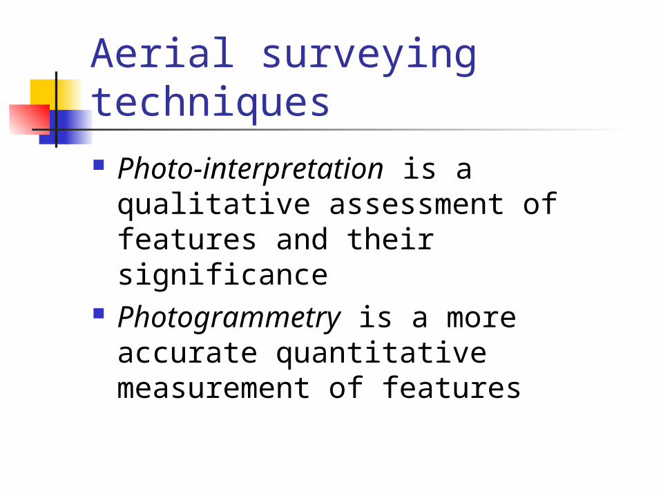
Aerial surveying techniques Photo-interpretation is a qualitative
assessment of features and their significance
Photogrammetry is a more accurate quantitative measurement of features
Aerial surveying techniques
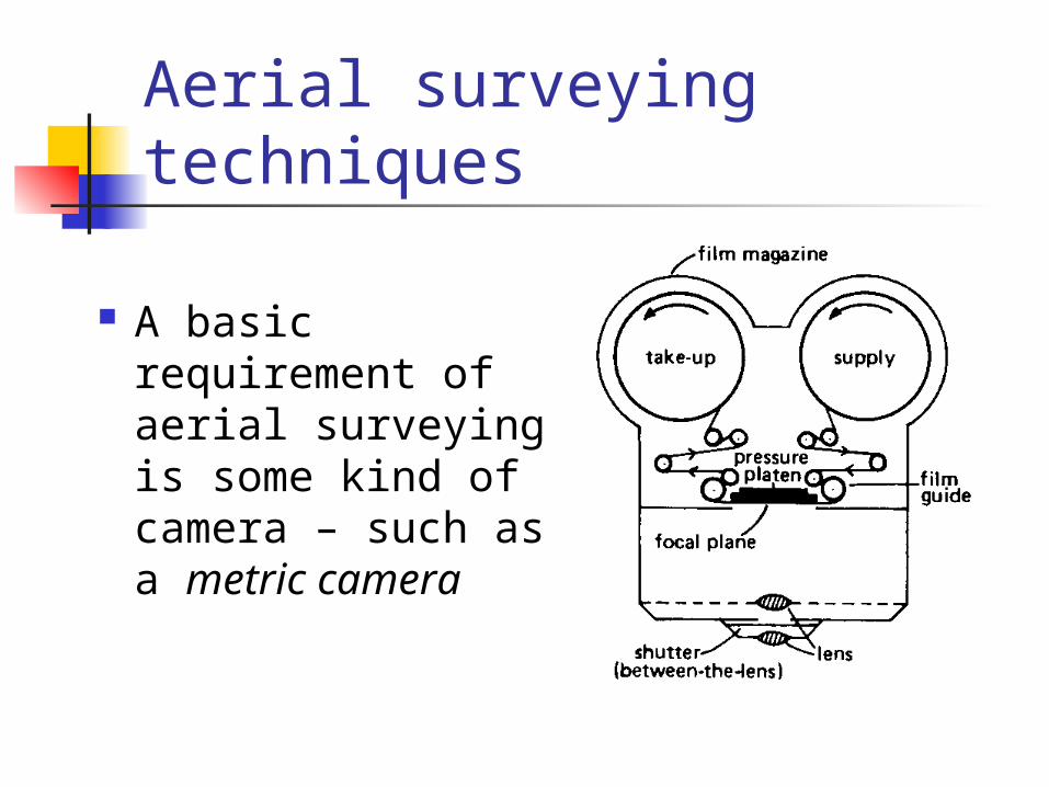
A basic requirement of aerial surveying is some kind of camera – such as a metric camera
Aerial surveying techniques The camera axis must be kept vertical as
much as possible Successive photographs often overlap by
as much as 60% along the direction of flight
Cameras may be loaded with standard emulsion film (usually high definition monochrome) or be sensitive to specific wavelengths of radiation such as infrared
Aerial surveying techniques Aerial photographs initially undergo
rectification to allow for image distortion
Stereoscopes are often used to gain a three dimensional view of an area from sets of stereoscopic photographs
Images can be digitised and georeferenced using a GIS package and data for known control points

Aerial photograph: Liverpool docks area

TOPIC 4Remote Sensing Techniques
Remote sensing techniques There is little difference between aerial and
remotely sensed images (both are a form of remote sensing)
Remote sensing may often (but not always) employ satellites in orbit around the earth
Satellite surveying us useful for very large natural features or surveying large man-made structures such as cities and road networks

Remote sensing techniques
Relatively low cost High refresh frequency Images consistent (same instrument) Different channels (wavelengths) Useful for change detection
The advantages of remote sensing over aerial photography:
Remote sensing techniques
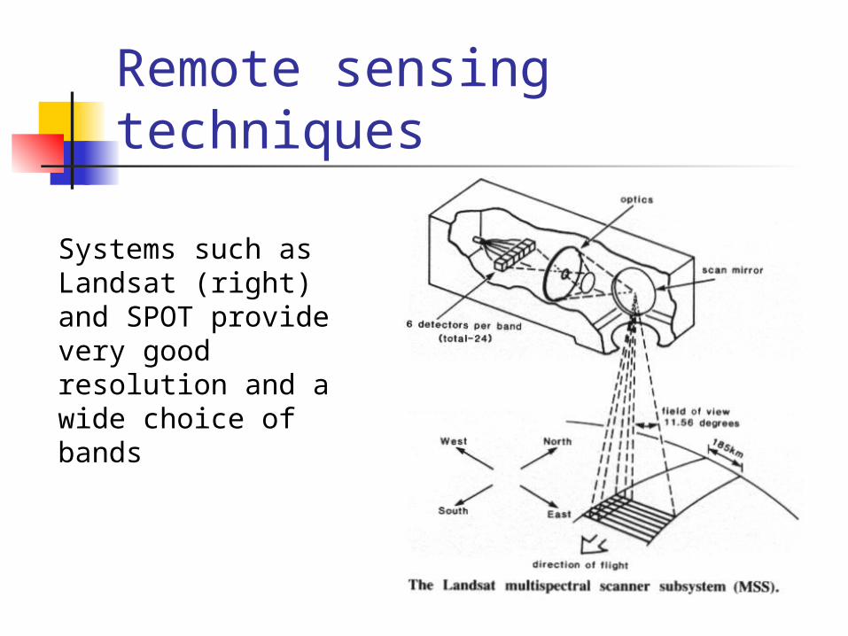
Systems such as Landsat (right) and SPOT provide very good resolution and a wide choice of bands
Remote sensing techniques
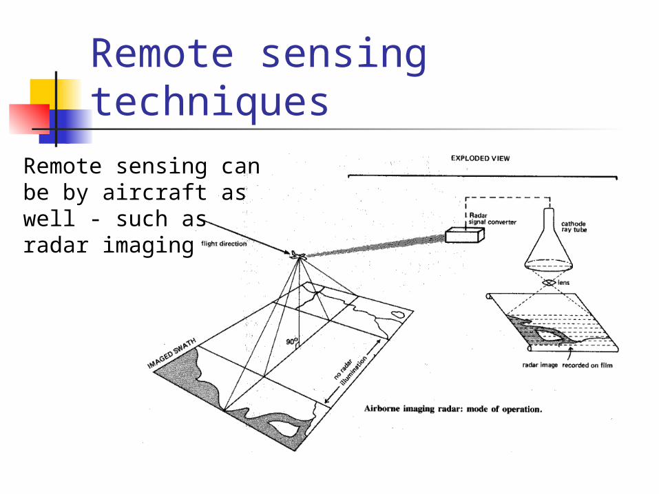
Remote sensing can be by aircraft as well - such as radar imaging


TOPIC 5Presenting the Data Cartographically

PRACTICAL TODAY
D1, D2, E1 & E2
Bring coloured pencils and calculator