ecological niche modelling using cluster analysis to determine suitable environments of giant...
TRANSCRIPT

Ecological niche modelling using cluster analysis to
determine suitable environments of Giant Hogweed occurrence.
Simon Fonji

Presentation Outline
• Background• Objective• Research questions• Methods• Results• Conclusion

Giant HogweedGeneral Physiology:Why is it such a successfulInvader in Latvia?
- Mature height of 6 to 21 feet makes ittaller than any other herbaceous plant orgrass in Latvia- Leaves up to 1.5 meters acrosson lower 1/3 of stalk readily shade out competitors in the understory- Compound umbel (flower) canreach 2 meters in diameter and produce up to 100,000 seeds with over 90%viability rate - Huge taproot serves as nitrogen storage device and provides tremendous regenerative potential

Problems: Human Health RiskExtreme Phototoxic Dermatitis

Native Region: The Caucasus
Includes:SW Russia
GeorgiaNE TurkeyArmenia
AzerbaijanNorthern Iran

Introduction to Latvia
In the 1960’s, Giant Hogweed was plantedin Latvia in places like Madona and Cesis as a silage crop to feed cattle

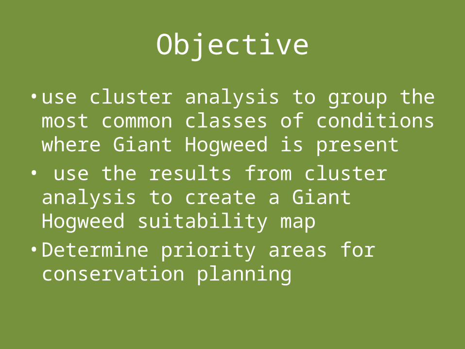
Objective
• use cluster analysis to group the most common classes of conditions where Giant Hogweed is present
• use the results from cluster analysis to create a Giant Hogweed suitability map
• Determine priority areas for conservation planning

Research Questions
• Can cluster analysis be used to accurately predict where Giant Hogweed will likely grow?

Data
• Two Landsat TM images obtained in the summers of 1992 and 2007.
• PPGIS data and other GPS data of Giant Hogweed
• Latvian demographic data from 1992 & 2007• Digital topographic layers and municipal
boundaries.
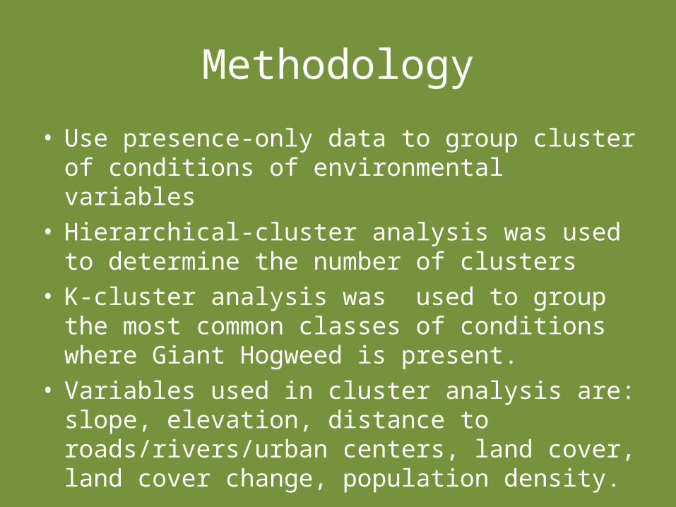
Methodology
• Use presence-only data to group cluster of conditions of environmental variables
• Hierarchical-cluster analysis was used to determine the number of clusters
• K-cluster analysis was used to group the most common classes of conditions where Giant Hogweed is present.
• Variables used in cluster analysis are: slope, elevation, distance to roads/rivers/urban centers, land cover, land cover change, population density.

Hierarchical-cluster and K-cluster analyses Results
Stage
Cluster CombinedCoefficient
s
Stage Cluster First Appears
Next StageCluster 1 Cluster 2 Cluster 1 Cluster 2
367 136 193 5.399 351 364 371368 10 377 5.442 363 0 369369 10 303 5.776 368 353 372370 1 191 5.830 360 365 371371 1 136 6.018 370 367 372372 1 10 6.471 371 369 373373 1 125 7.108 372 366 374374 1 240 9.326 373 362 375375 1 239 10.554 374 0 376376 1 327 11.800 375 0 0
Standardized Cluster Means1 2 3 4
Zscore(agricultural change) -.24007 .90767 -.07773 -.16594
Zscore(elevation) .08065 -.05849 -.33569 -.07463Zscore(dist_road_km) .03159 -.42826 .33472 -.25259
Zscore(dist_urbancenter_km) .21010 -.43524 -.45707 -.55315
Zscore(dist_water_km) .04965 -.11011 -.03520 -.19479
Zscore(forest change) -.23607 -.31313 1.91316 -.23138
Zscore(agriculture land cover) .48235 -.67534 -1.93205 .12605
Zscore(forest land cover) -.32168 -.29858 2.35100 -.12066
Zscore(urban land cover) -.34958 1.78076 -.44222 .01226
Zscore(nochange) .47631 -1.24443 -1.09161 .27748
Zscore(population density) -.15205 .08813 .61235 .49152
Zscore(slope) -.23951 -.20978 -.18295 3.12492
Zscore(urban change) -.34824 1.84792 -.36147 -.05113
ANOVA
Cluster Error
F Sig.
Mean
Square df
Mean
Square df
Zscore(agricchange) 21.477 3 .771 373 27.855 .000
Zscore(dem) 2.125 3 .971 373 2.189 .089
Zscore(dist_road_km) 5.650 3 .914 373 6.178 .000
Zscore(dist_urbancent
er_km)
12.839 3 .894 373 14.358 .000
Zscore(dist_water_km
0)
.794 3 1.055 373 .753 .521
Zscore(forestchange) 54.606 3 .526 373 103.717 .000
Zscore(lcagric) 77.258 3 .366 373 211.123 .000
Zscore(lcforest) 82.359 3 .288 373 285.990 .000
Zscore(lcurban) 76.228 3 .441 373 172.950 .000
Zscore(nochange) 66.099 3 .461 373 143.285 .000
Zscore(pop_den2) 9.054 3 1.031 373 8.785 .000
Zscore(slope) 90.764 3 .330 373 274.725 .000
Zscore(urbanchange) 80.152 3 .484 373 165.553 .000
Table 5, F-test and significance of variables in the model
Hierarchical cluster results
K-cluster results
K-cluster results

•Four clusters were produced from K-cluster analysis characterized by specific environmental conditions
•Examples of conditions:
– Cluster 1:1. Elevation ≥64 and ≤183 meters2. Slopes ≥0 and ≤0.89 degree3. In agricultural areas4. Near low population centers
– Cluster 4:1. Elevation ≥46.8 and ≤172.5 meters2. Slopes ≥3.8 and ≤12.4 degree3. Near urban centers 4. In high population centers
•These conditions were used to build a Giant Hogweed
suitability map

Combine cluster• For each cluster find
range of variable values where the majority of Giant Hogweed pixels fall
• map shows all pixels whose environmental variables resemble any of the four clusters, and are therefore likely candidates for future Giant Hogweed colonization.

Habitat suitability map• For each cluster, this shows the
area where all 13 of the utilized variables fall between the 10th and 90th percentile.
• 27% of the Giant Hogweed testing points fall within this zone.
• 85% of the Giant Hogweed testing points fall with the zone where at least 12 of the 13 utilized variables fall between the 10th and 90th percentiles.

Results• Cluster 1 occurs in mostly agricultural areas where the
population density is low. These areas are mostly rural areas where agricultural abandonment is common.
• Cluster 2: occurs mostly in urban areas close to roads and urban centers. This is probably near big cities where urban expansion is taking place and where people have gardens or small farms in their compounds.
• Cluster 3: occurs near urban centers where land cover type and land cover change to forest. These are probably remote areas near cities that are far from roads and along forest edges.
• Cluster 4 occurs mostly in urban areas near roads where the population density is high. These are most likely small farm areas and gardens in big cities. Cluster 4 is very similar to cluster 2.

Conclusion• Cluster analysis can be used as an effective tool to select
sites with favourable conditions for Giant Hogweed occurrence based on environmental factors
• LULCC, demographic and geographic factors influence the spread of Giant Hogweed in Latvia.
• Giant Hogweed suitability map to predict potential spread– useful for managing and controlling Giant Hogweed in
Latvia• Applicable to other regions with high Giant Hogweed
occurrence: – Larger Baltic region and Russia– Central and Western Europe– Northern USA and Canada

Thank you for listening.
