
Using GIS to build Smarter
Communities in
Washington State
Tyler Vick, FLO Analytics
Andy Meyer, AICP, Association of
Washington Cities
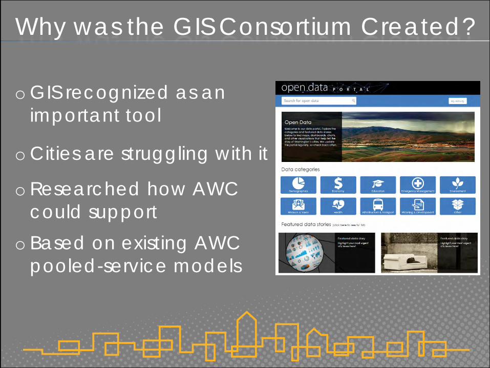
Why was the GIS Consortium Created?
o GIS recognized as an
important tool
o Cities are struggling with it
o Researched how AWC
could support
o Based on existing AWC
pooled-service models
A Little About FLO
o Experts in the design,
implementation and use of GIS
& data analytic solutions
o Located in Portland and
Seattle
o Partnered with AWC to create
the GIS Consortium in July, 2016

What Does the Consortium Offer?
o Better rates through buying power
o Buy what you need, use how you’d like
o Flexible tiers
o Results based on your needs
o Long-term support
o City and non-city membership
Milestones to Date
o Launched in July 2016
o 25+ GIS needs assessments
o Design your own program
o 14 cities and 2 non-cities
signed up so far
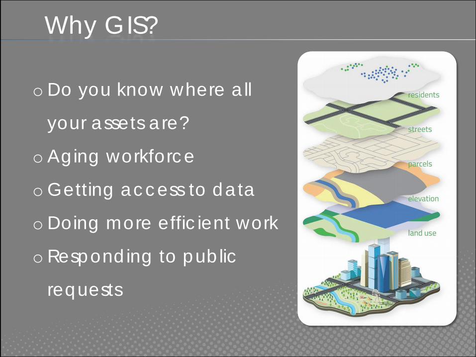
o Do you know where all
your assets are?
o Aging workforce
o Getting access to data
o Doing more efficient work
o Responding to public
requests
Why GIS?
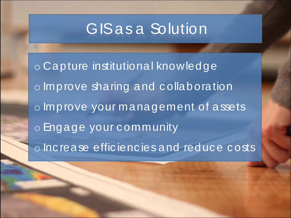
o Capture institutional knowledge
o Improve sharing and collaboration
o Improve your management of assets
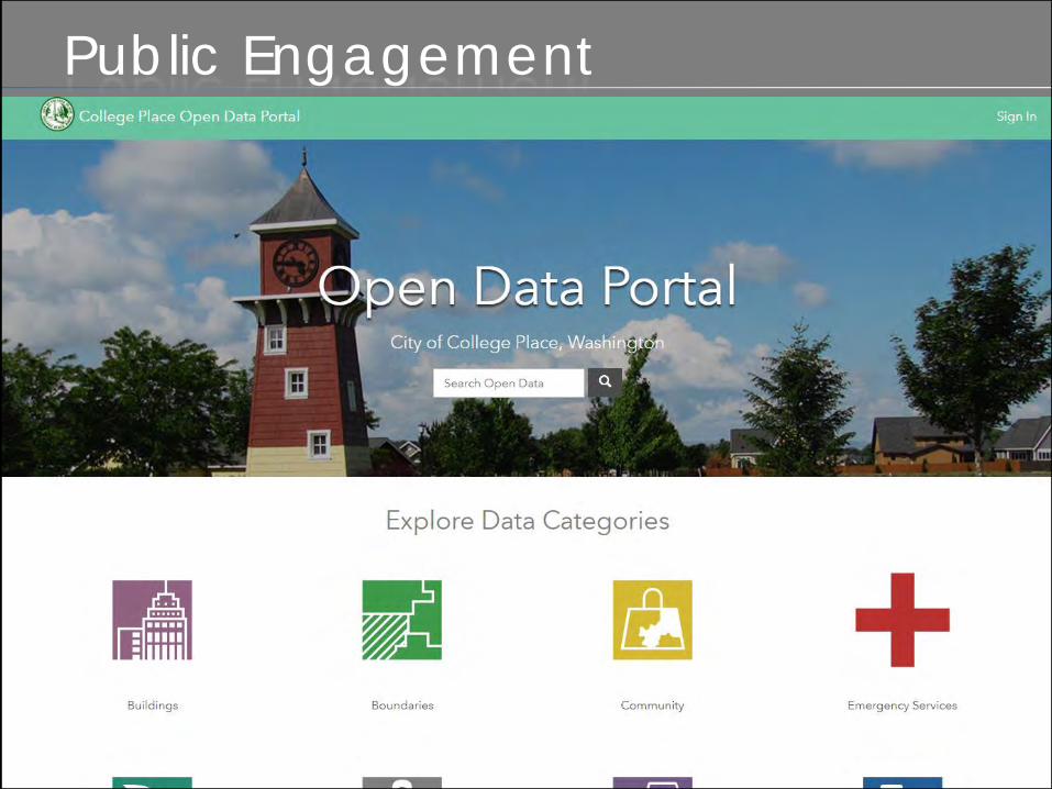
o Engage your community
o Increase efficiencies and reduce costs
GIS as a Solution
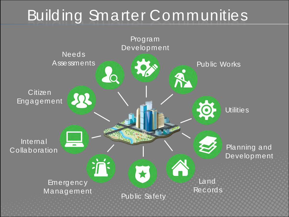
Building Smarter Communities
Utilities
Program
Development
Public Works
Planning and
Development
Land
RecordsPublic Safety
Emergency
Management
Internal
Collaboration
Citizen
Engagement
Needs
Assessments
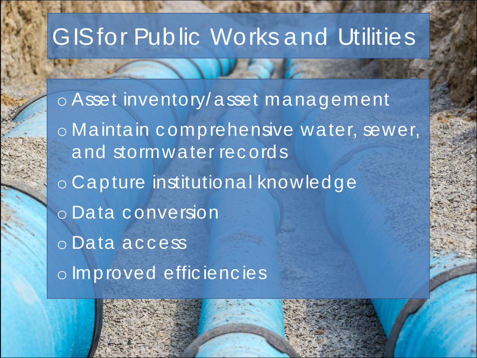
GIS for Public Works and Utilities
o Asset inventory/asset management
o Maintain comprehensive water, sewer,
and stormwater records
o Capture institutional knowledge
o Data conversion
o Data access
o Improved efficiencies
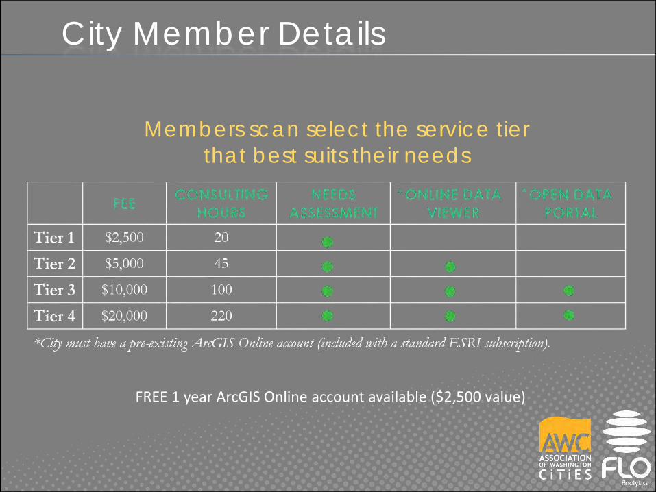
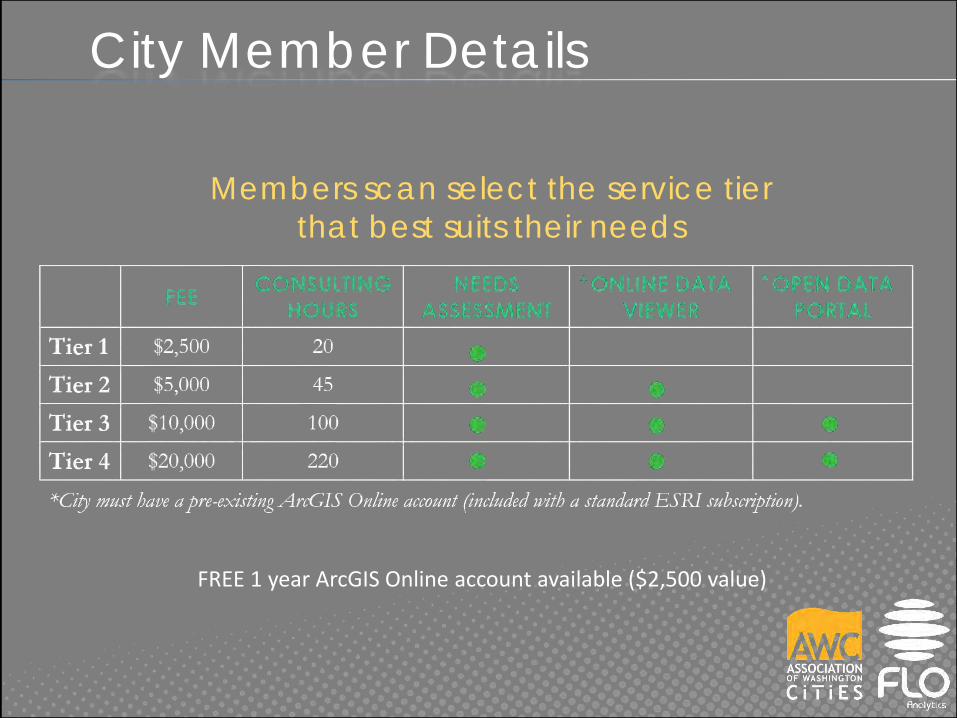
City Member Details
Members scan select the service tier
that best suits their needs
FREE 1 year ArcGIS Online account available ($2,500 value)

Service
Examples
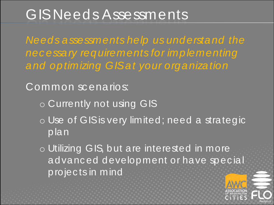
GIS Needs Assessments
Needs assessments help us understand the
necessary requirements for implementing
and optimizing GIS at your organization
Common scenarios:
o Currently not using GIS
o Use of GIS is very limited; need a strategic
plan
o Utilizing GIS, but are interested in more
advanced development or have special
projects in mind
GIS Needs Assessments
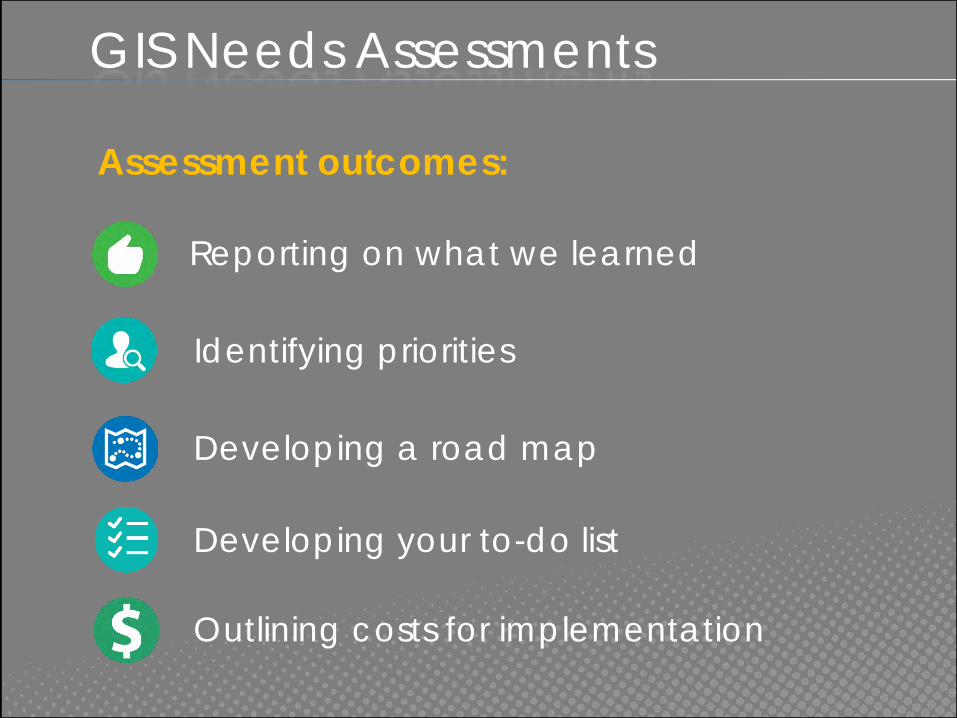
Assessment outcomes:
Reporting on what we learned
Identifying priorities
Developing a road map
Developing your to-do list
Outlining costs for implementation

Stormwater Utility AssessmentCity of Shelton
o Accomplish
Shelton’s conversion
goals
o Integrate with long-
term GIS goals
o Provide access web
map application

Snoqualmie PUD Asset Inventory
o No existing GIS system
in place
o Location of assets
unknown or difficult to
find
o Entire utility system was
mapped in 2.5 working
days
• 657 features
• 19 feature types
• Down to 3" accuracy
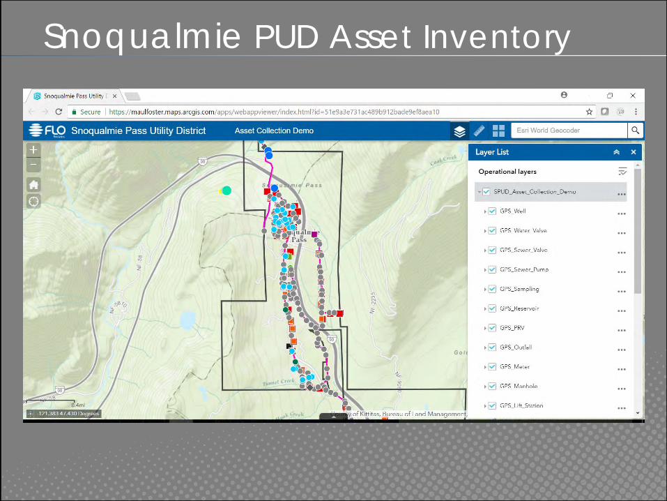
Snoqualmie PUD Asset Inventory
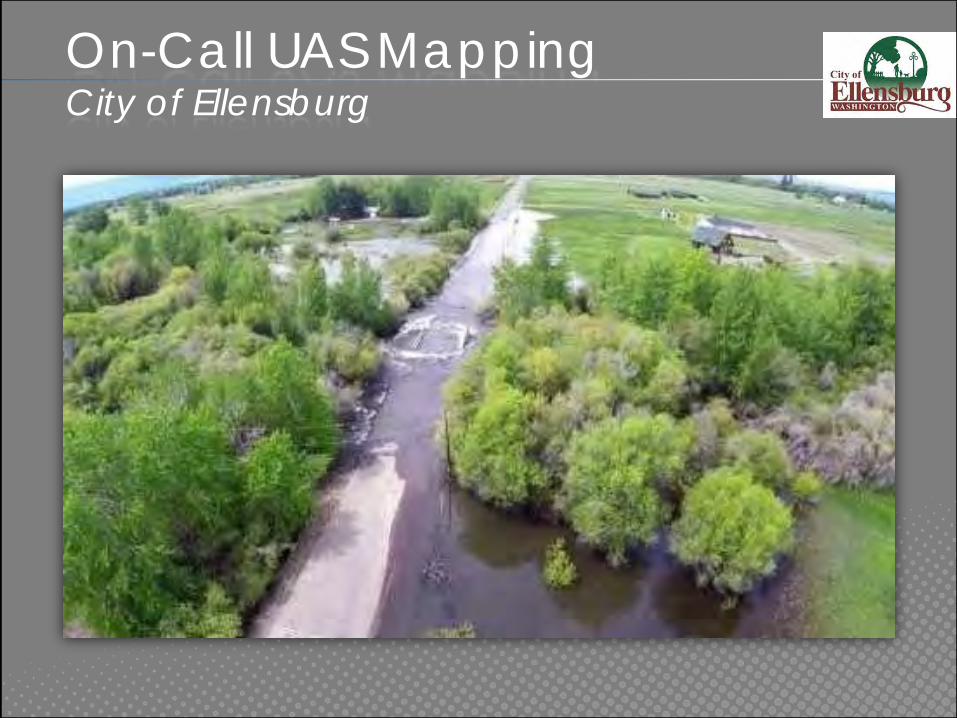
On-Call UAS MappingCity of Ellensburg
City Member Details
Members scan select the service tier
that best suits their needs
FREE 1 year ArcGIS Online account available ($2,500 value)

Q&A
QUESTIONS?
www.GIS.AWCNET.ORG
Tyler Vick
(503) 501-5248
Andy Meyer, AICP
(360) 753-4137


