9/30/2009
1
The GeoWeb - Connecting Parks to People through the InternetPeople through the Internet
Charlynne Smith, GISP - Recreation Resources ServiceNC State University
Presented as RRS Webinar – September 30,2009
Today’s DiscussionWhat is the GeoWeb?Why should parks be “plugged in”?How do you plug in?
9/30/2009
2
Learning OutcomesUnderstand concept of the GeoWebLearn basic concepts of using geospatial data through the i t tinternetDevelop a list of opportunities for your agency to include in a GeoWeb applicationLearn steps to implement simple GeoWeb applications
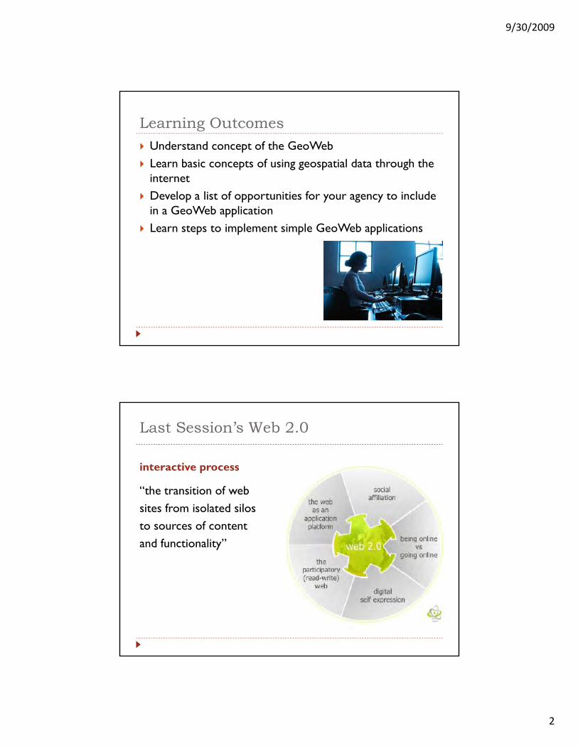
Last Session’s Web 2.0
interactive process
“ h i i f b“the transition of websites from isolated silosto sources of contentand functionality”

9/30/2009
3
What is the GeoWeb?Let’s take a poll:
How many of you have heard of the GeoWeb?H m h d li m (Y h M t G l )?How many have used online maps (Yahoo, Mapquest, Google)?
GeoWebThe Geospatial Web or Geoweb is a relatively new term that implies the merging of geographical (location-based) information with the abstract information that currently information with the abstract information that currently dominates the Internet. This would create an environment where one could search for things based on location instead of by keyword only – i.e. “What is Here?”.
http://en.wikipedia.org/wiki/Geoweb
9/30/2009
4
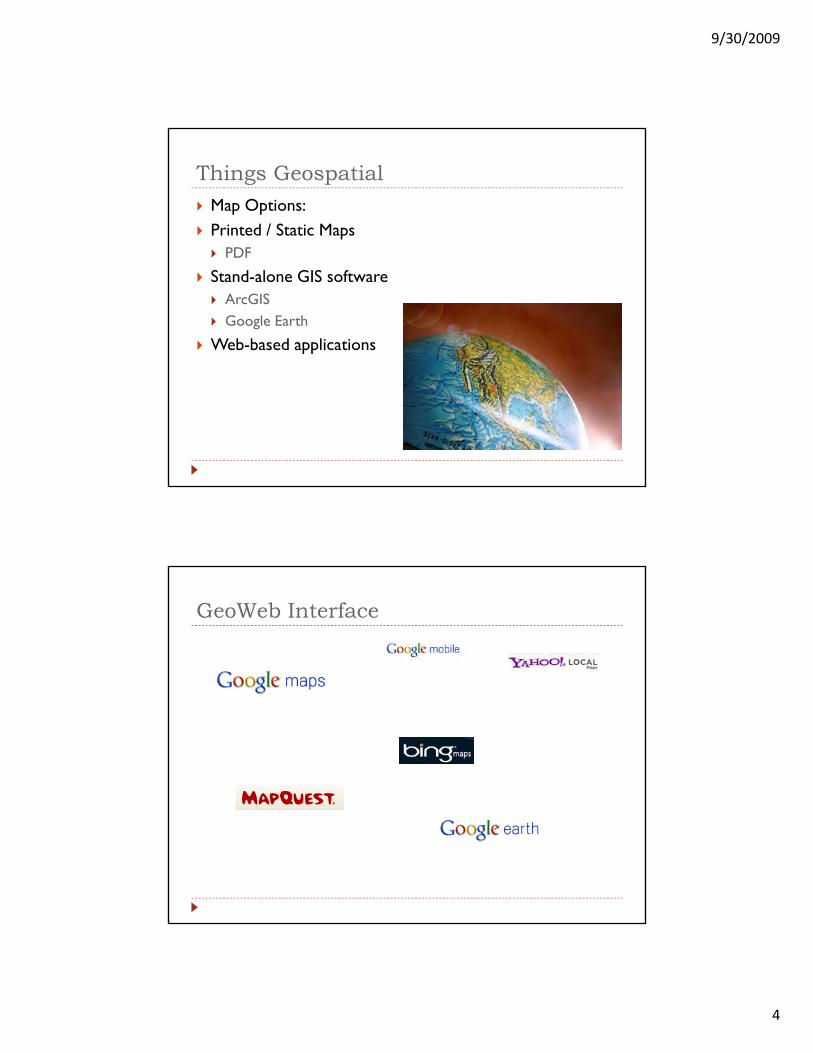
Things GeospatialMap Options: Printed / Static Maps
PDFPDF
Stand-alone GIS softwareArcGISGoogle Earth
Web-based applications
GeoWeb Interface
9/30/2009
5
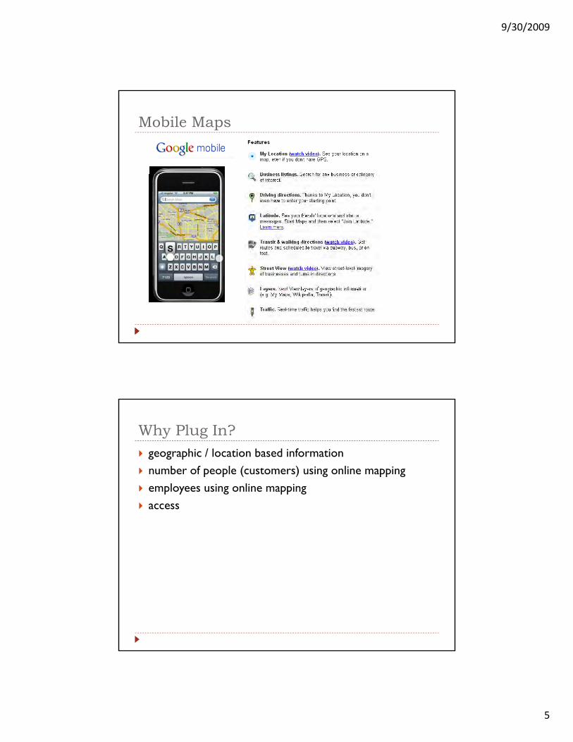
Mobile Maps
Why Plug In?geographic / location based informationnumber of people (customers) using online mappingemployees using online mappingaccess

9/30/2009
6
example application
OVNHT: data inventoryData developmentNational Historic Trial
historic routetrail corridorcommemorative motor route
i ti t ilexisting trailsmarkers, monuments, historic sites

9/30/2009
7
Regional Data
Making ConnectionsWhat can you do for your agency?
Opportunities
Benefits
9/30/2009
8
Benefits of online map interfaceProvide easy access to data for:
decision makingi iti t kprioritize tasks
improved communication
Audienceeveryday Internet (non-GIS) userscomputer experience (confidence) varies multi-agency, public access – no log-in required!g y, p g q
How to Plug InStarting SimpleFirst, a disclaimer…
9/30/2009
9
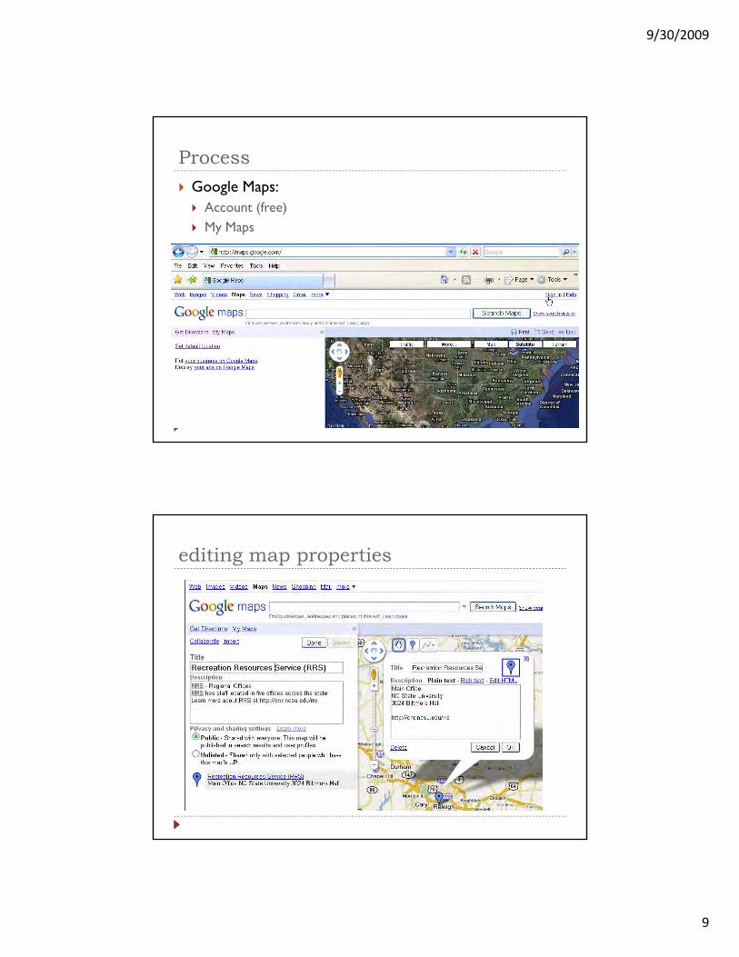
ProcessGoogle Maps:
Account (free)M MMy Maps
editing map properties

9/30/2009
10
search for address
save to “my maps”

9/30/2009
11
saving a location to your map
editing (marker) properties
modify information
iicontext htmlimagesfonthyperlinks

9/30/2009
12
adding hyperlinks
using existing map information

9/30/2009
13
final user created map
changing view properties
9/30/2009
14
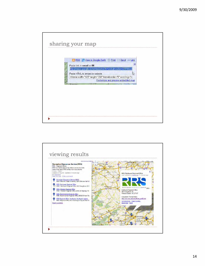
sharing your map
viewing results

9/30/2009
15
south central: user view
Google map embedded on your webpage
9/30/2009
16
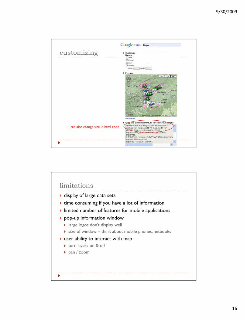
customizing
can also change size in html code
limitationsdisplay of large data setstime consuming if you have a lot of information limited number of features for mobile applicationspop-up information window
large logos don’t display wellsize of window – think about mobile phones, netbooks
user ability to interact with map t l & ffturn layers on & offpan / zoom
9/30/2009
17
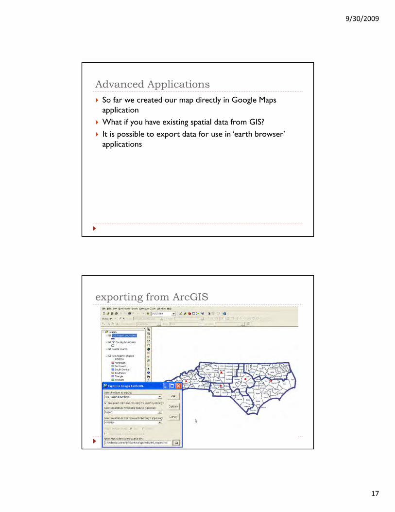
Advanced ApplicationsSo far we created our map directly in Google Maps applicationWh t if h i ti ti l d t f GIS?What if you have existing spatial data from GIS?It is possible to export data for use in ‘earth browser’ applications
exporting from ArcGIS
9/30/2009
18
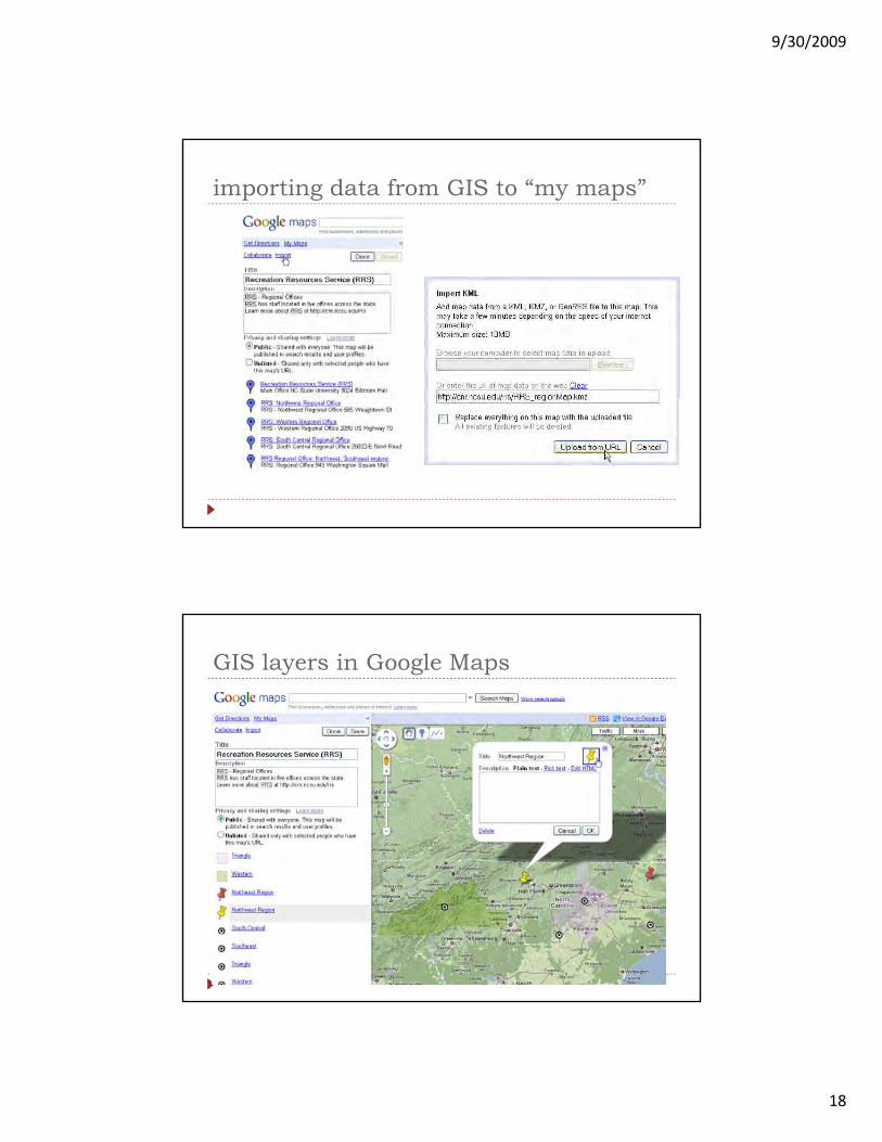
importing data from GIS to “my maps”
GIS layers in Google Maps

9/30/2009
19
GIS data in Google Maps…some limitations
9/30/2009
20
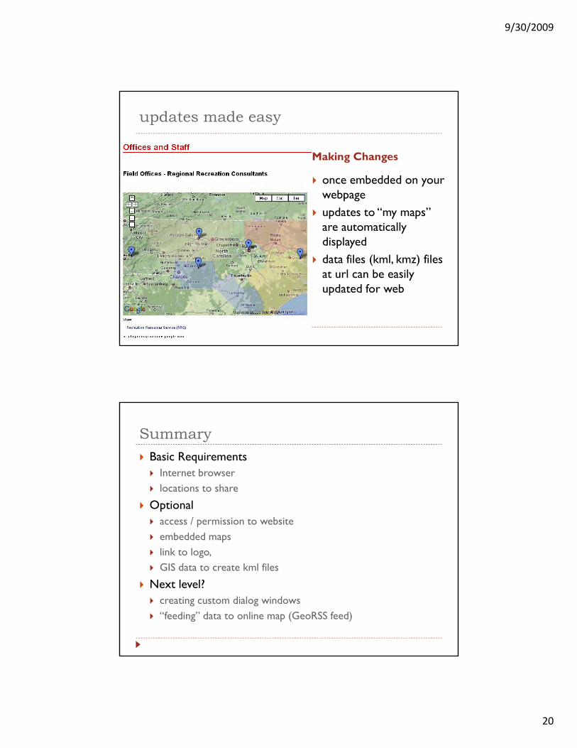
updates made easy
Making Changes
b dd d once embedded on your webpageupdates to “my maps” are automatically displayeddata files (kml kmz) files data files (kml, kmz) files at url can be easily updated for web
SummaryBasic Requirements
Internet browserl ti t hlocations to share
Optionalaccess / permission to websiteembedded mapslink to logo, GIS data to create kml files
Next level?creating custom dialog windows“feeding” data to online map (GeoRSS feed)
9/30/2009
21
future researchadvanced applicationshow to get our information to commercial agencies?
D LDeLormeGoogleGPS
Resourcesmaps.google.comother mapping applications (Yahoo Bing )other mapping applications (Yahoo, Bing,…)http://code.google.com/apis/maps/
thank you!
Charlynne Smith: [email protected]


